2025 Nordkapp 3 - Norway
3 August 2025



















































Journal Notes
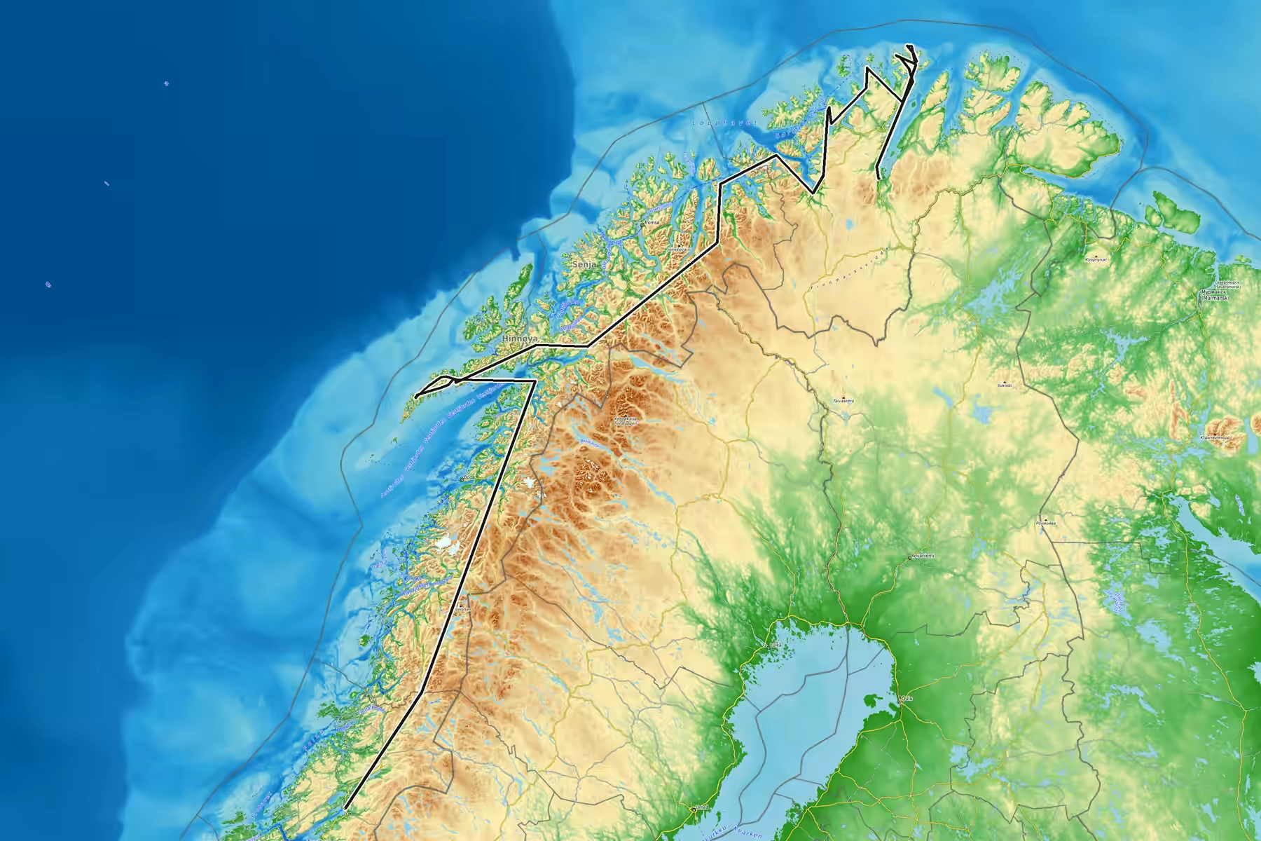
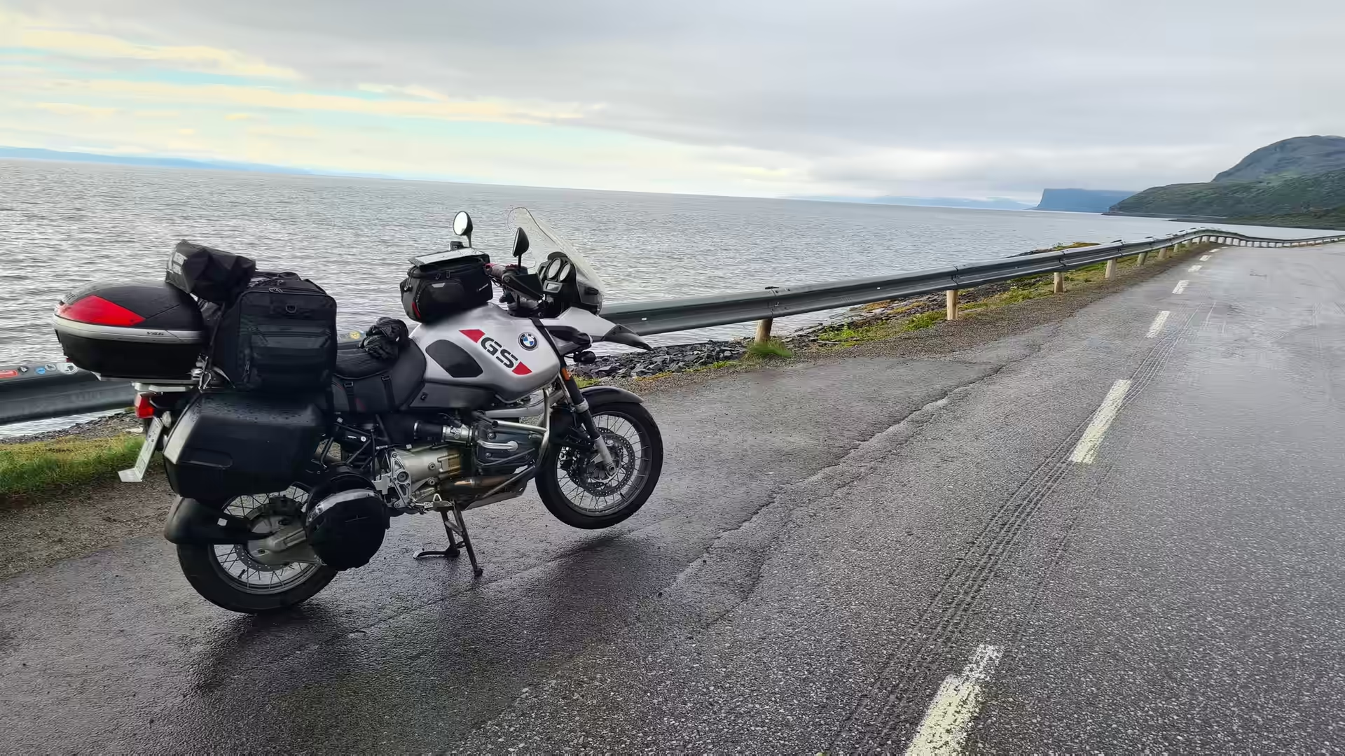
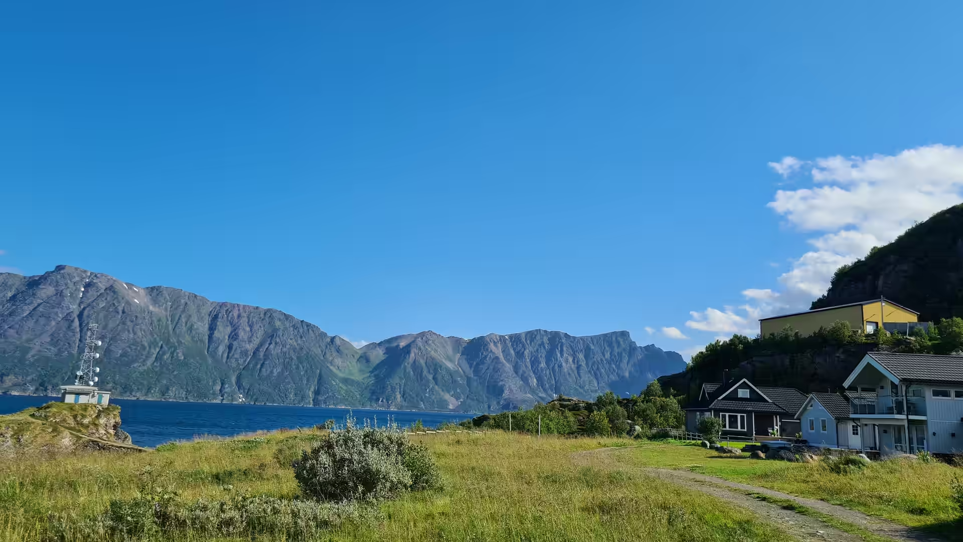
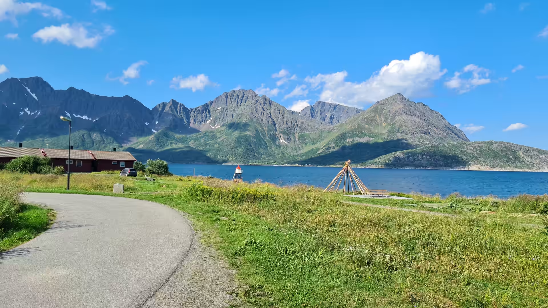
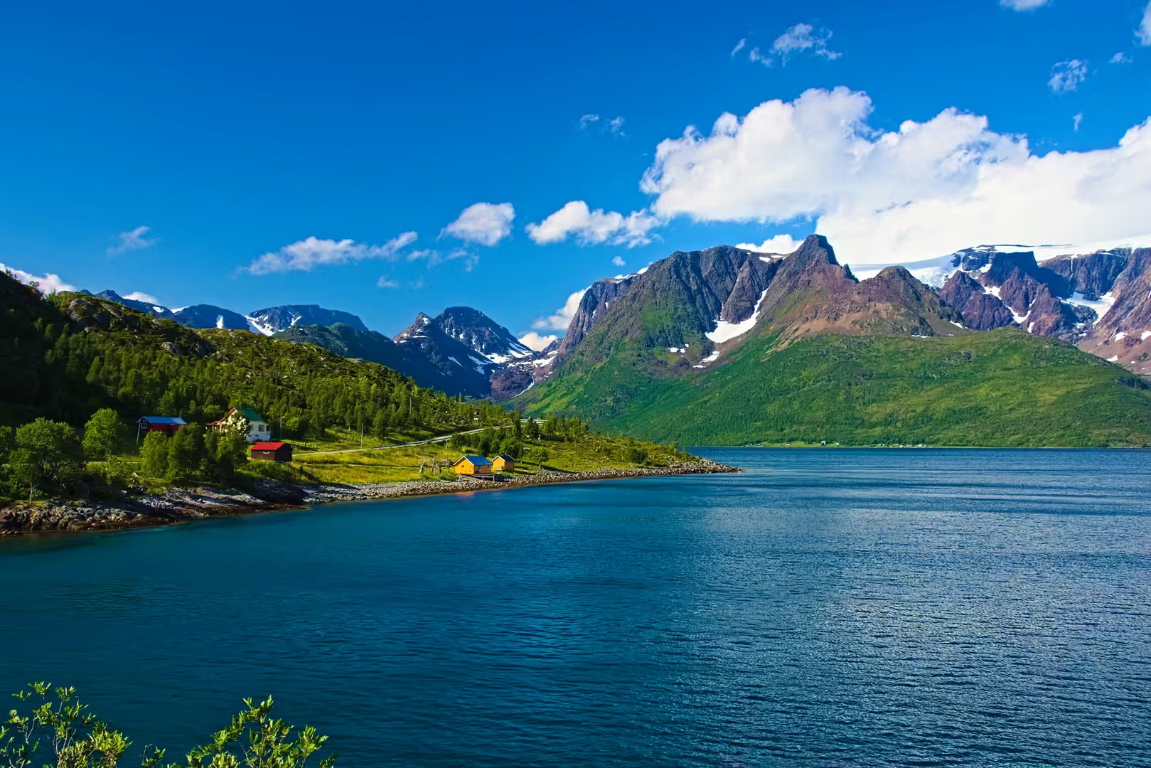
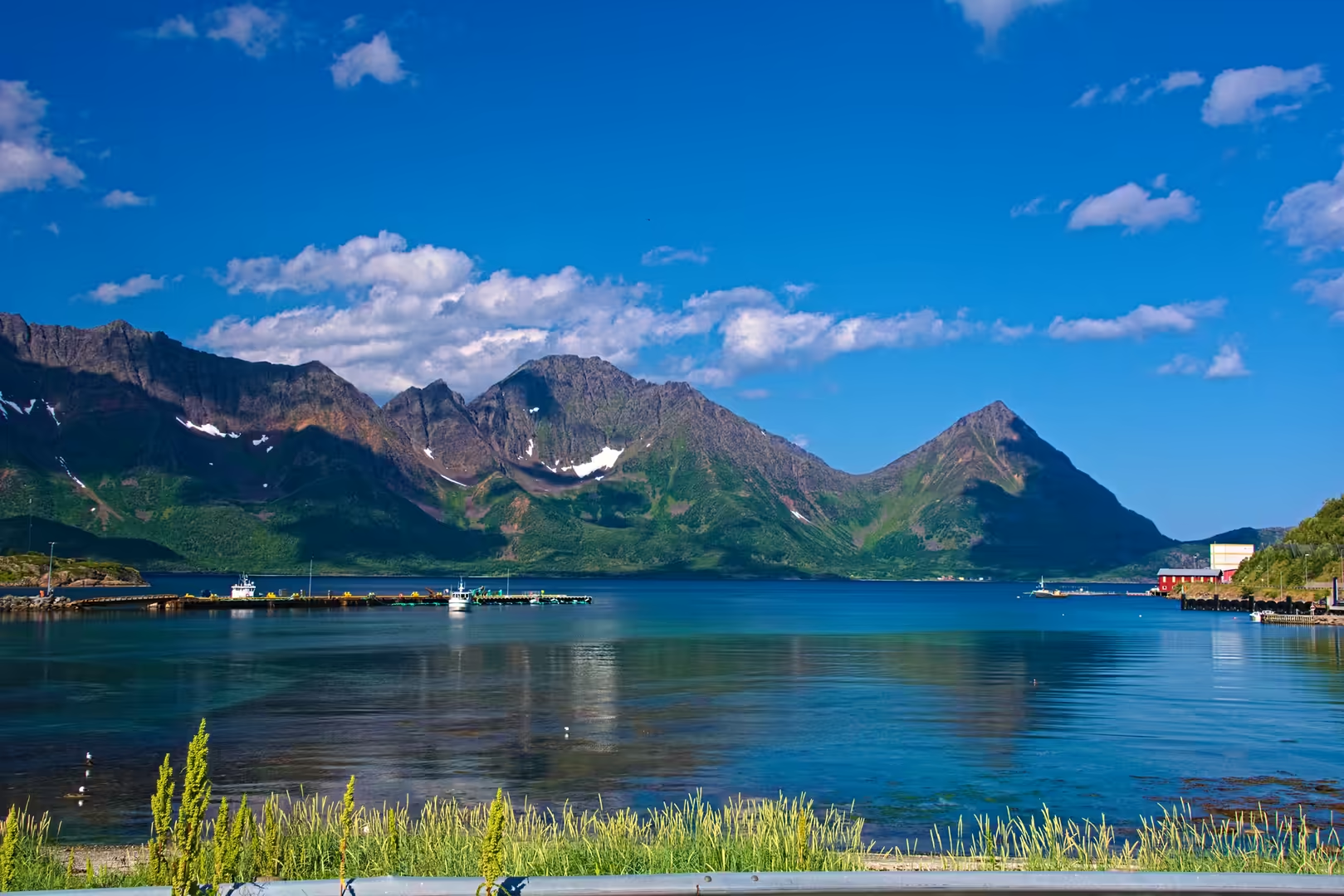
A southbound ride of seven days from the North Cape down the whole coast of Norway to the Trondheimsfjord, through Finnmark, Troms and the Lofoten islands. The route runs south from the North Cape by Lakselv, Havøysund, Hammerfest and Alta, crosses the Lyngen coast to Skjervøy and Birtavarre, and continues by Narvik and Lofoten down the Nordland highway to Inderøy. With roughly 2,800 kilometres of riding, this track carries the journey from the northern tip of Europe to the middle of Norway.
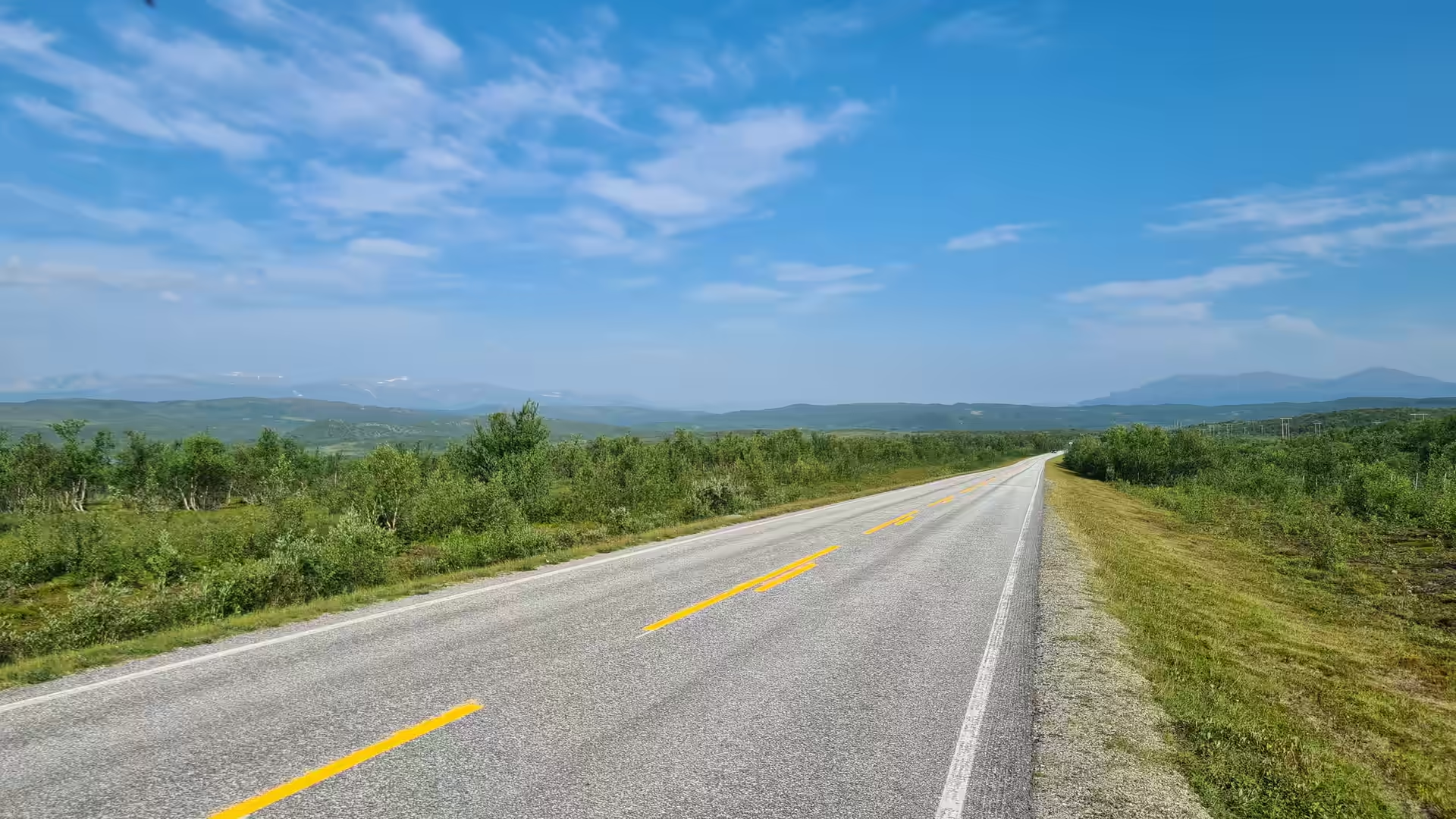
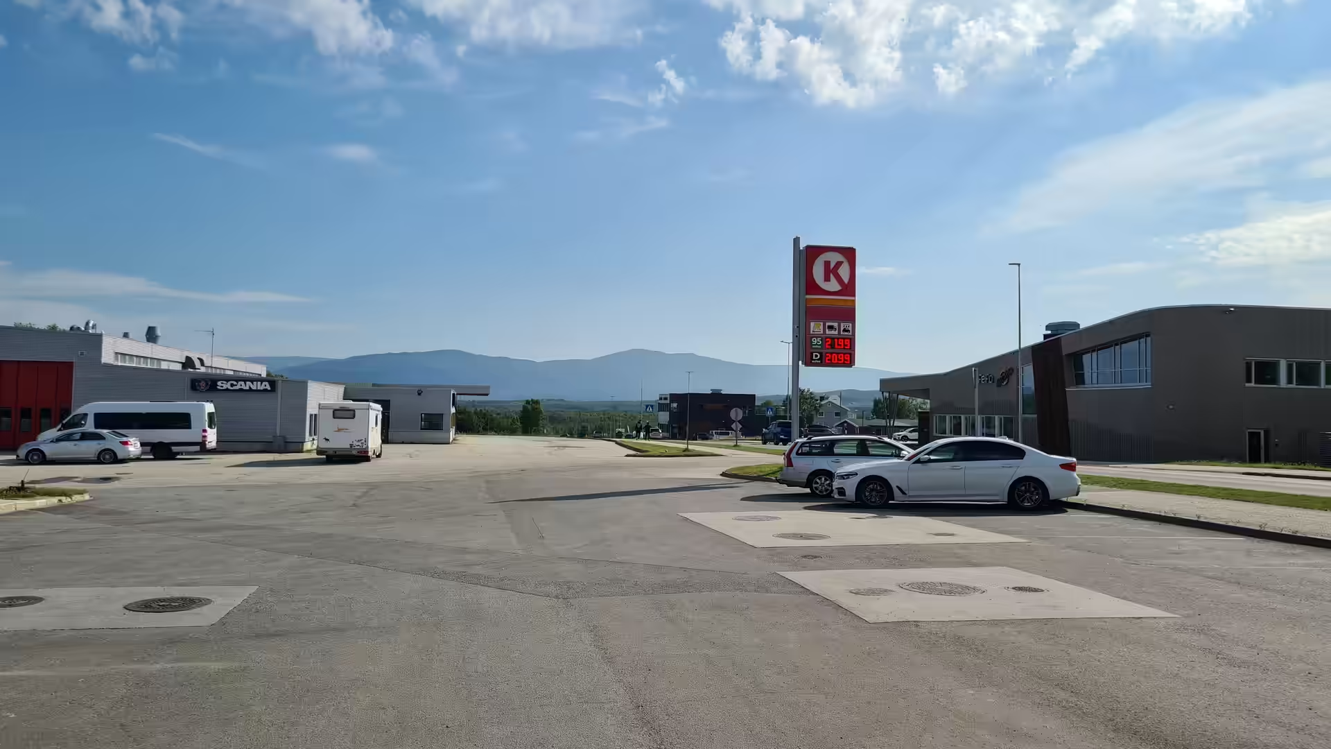
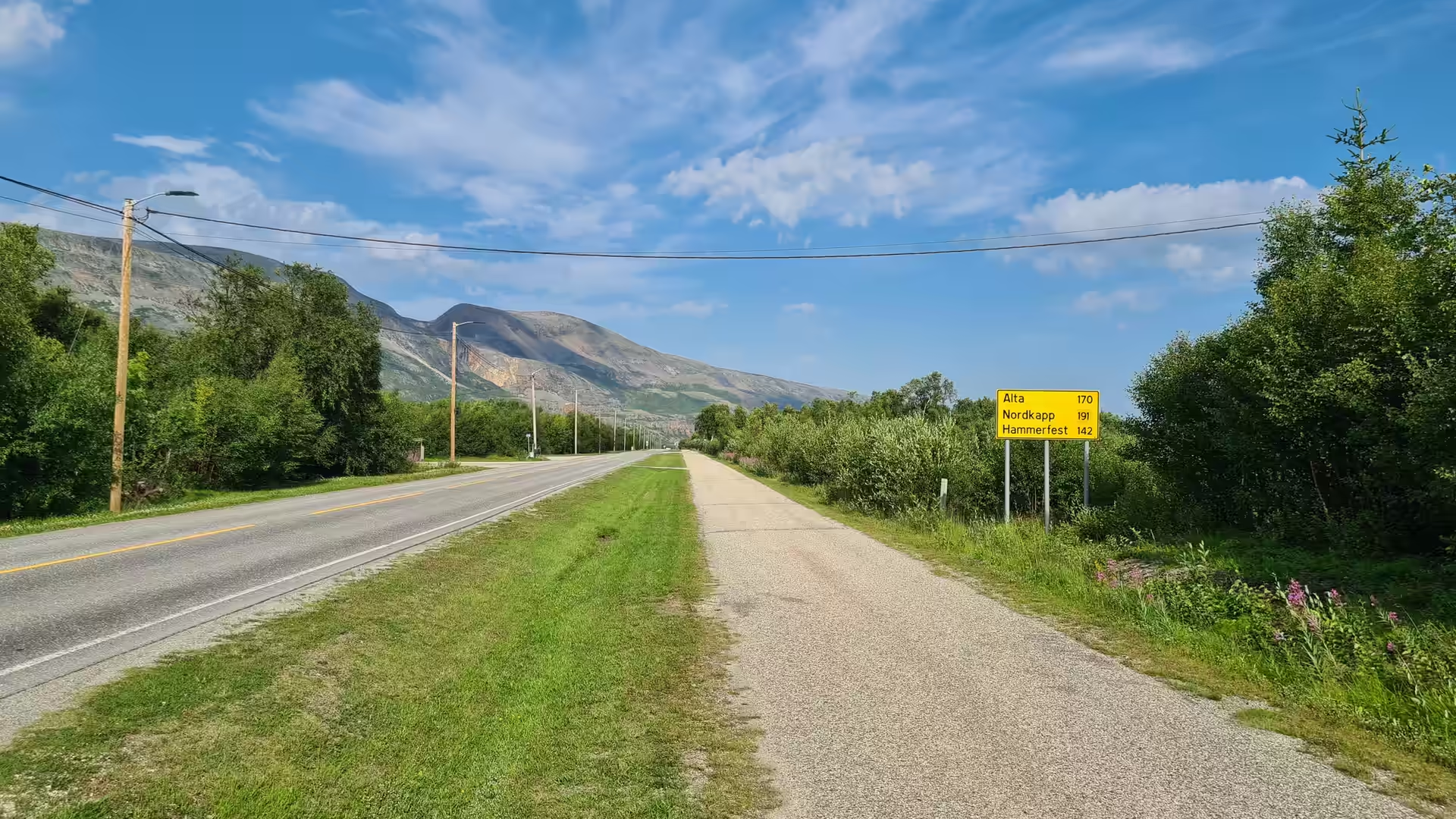
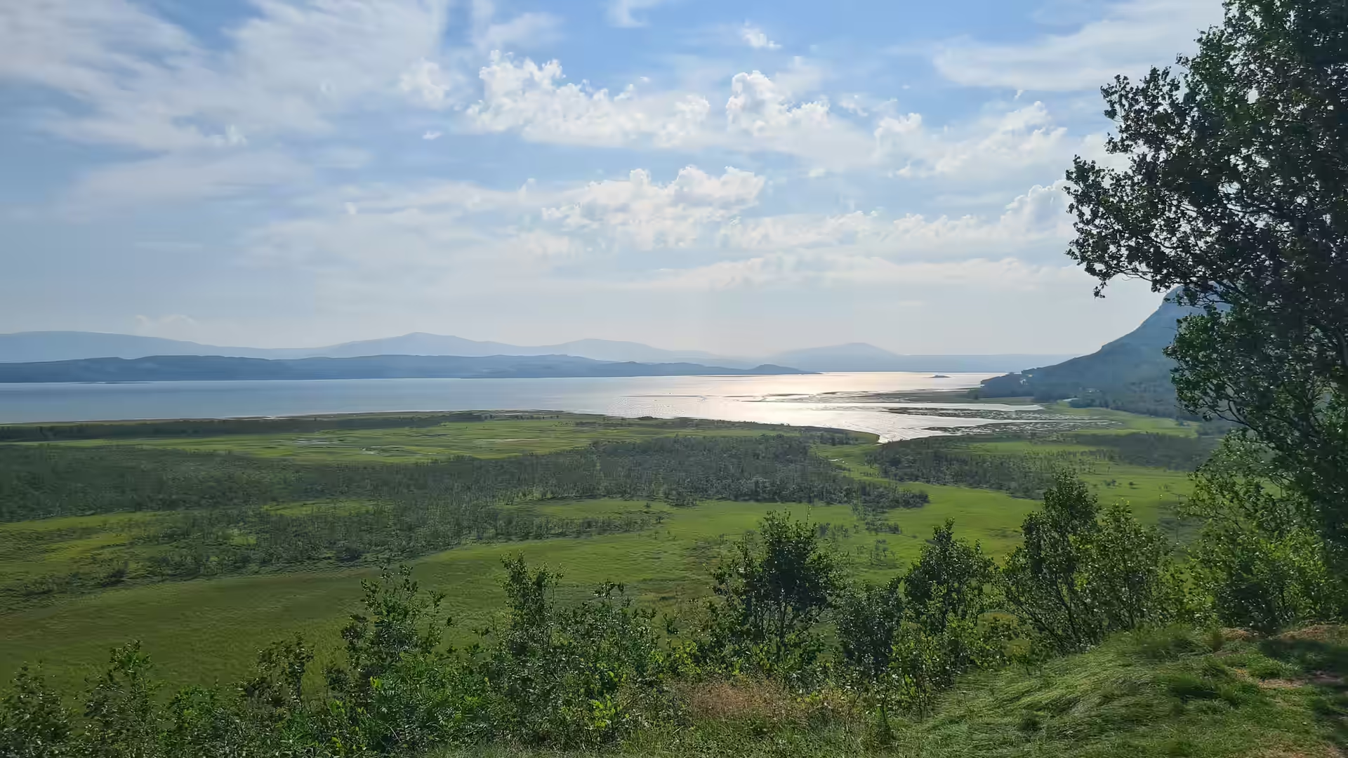
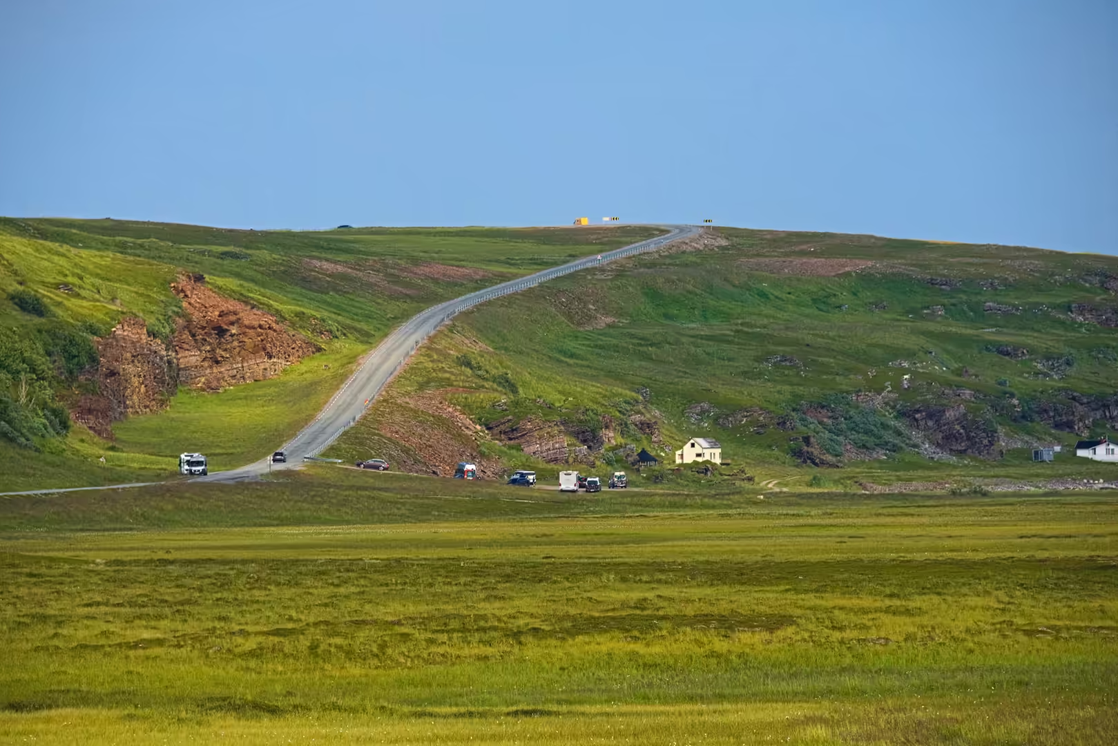
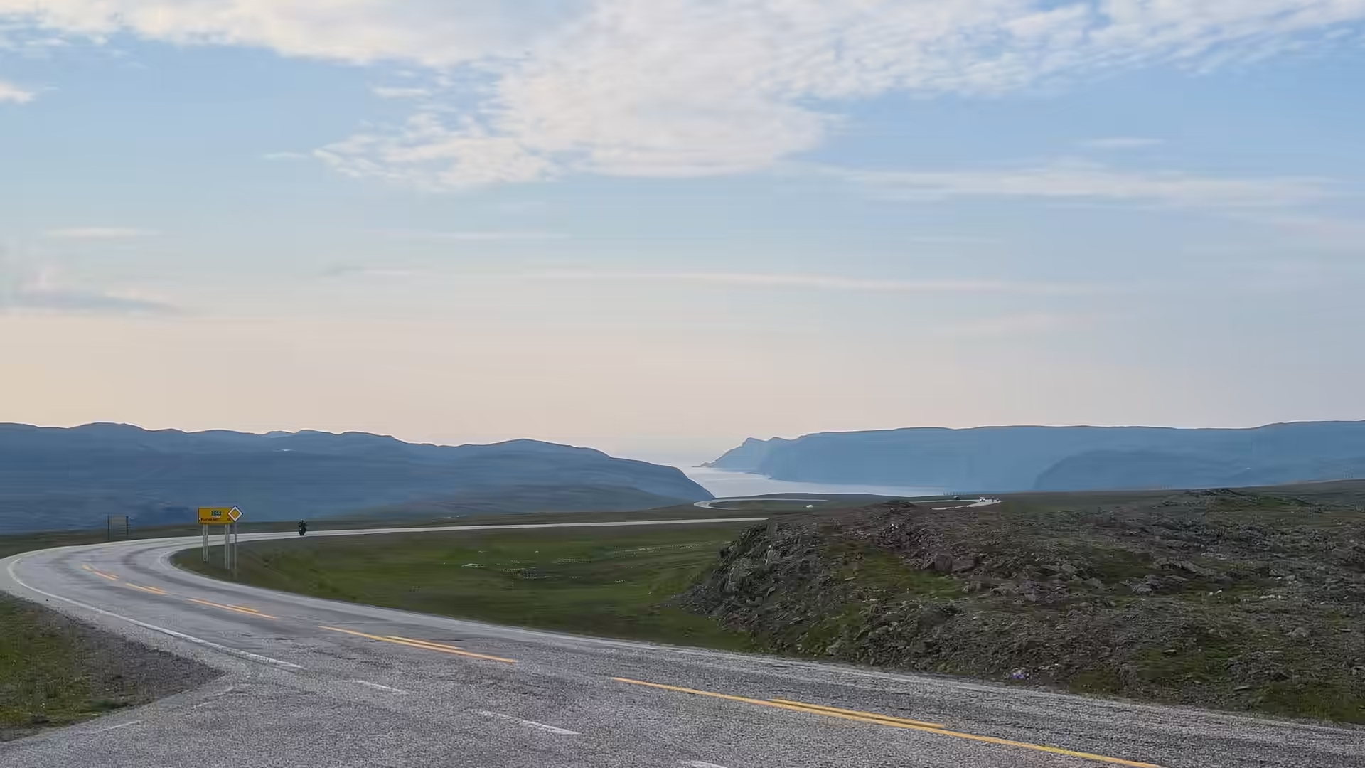
The Norwegian stage opened in the wide valley of the Porsangerfjord. From the border country the road ran north along the inner coast to Lakselv, the little centre at the head of the fjord, where a fuel station, a car park and a yellow signboard of destinations broke the first morning. Then the road climbed away from the water and crossed the open plain towards the sea.
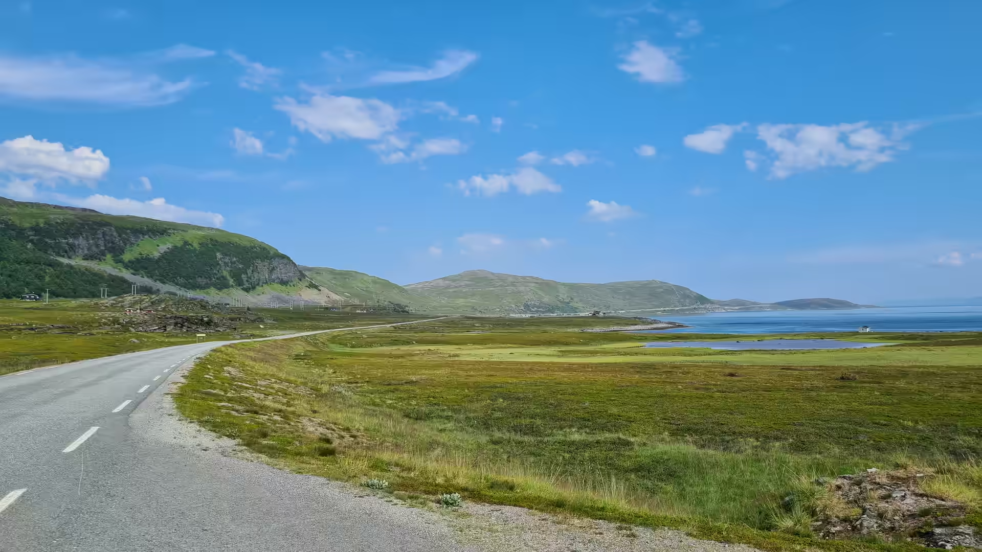
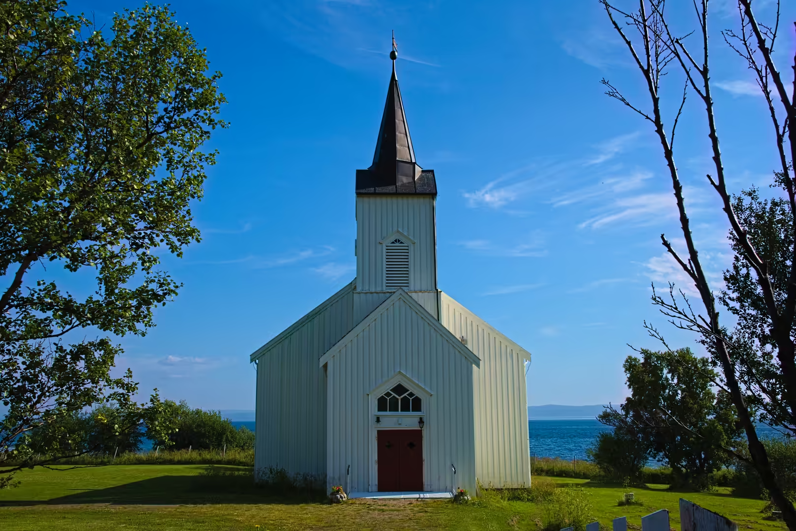
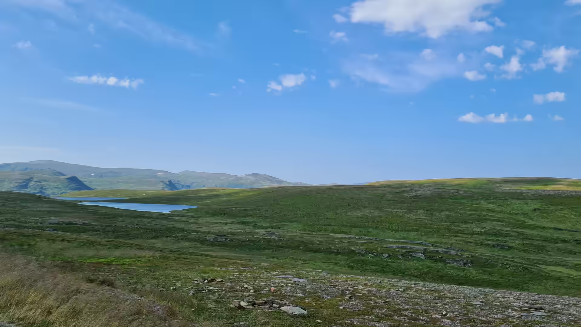
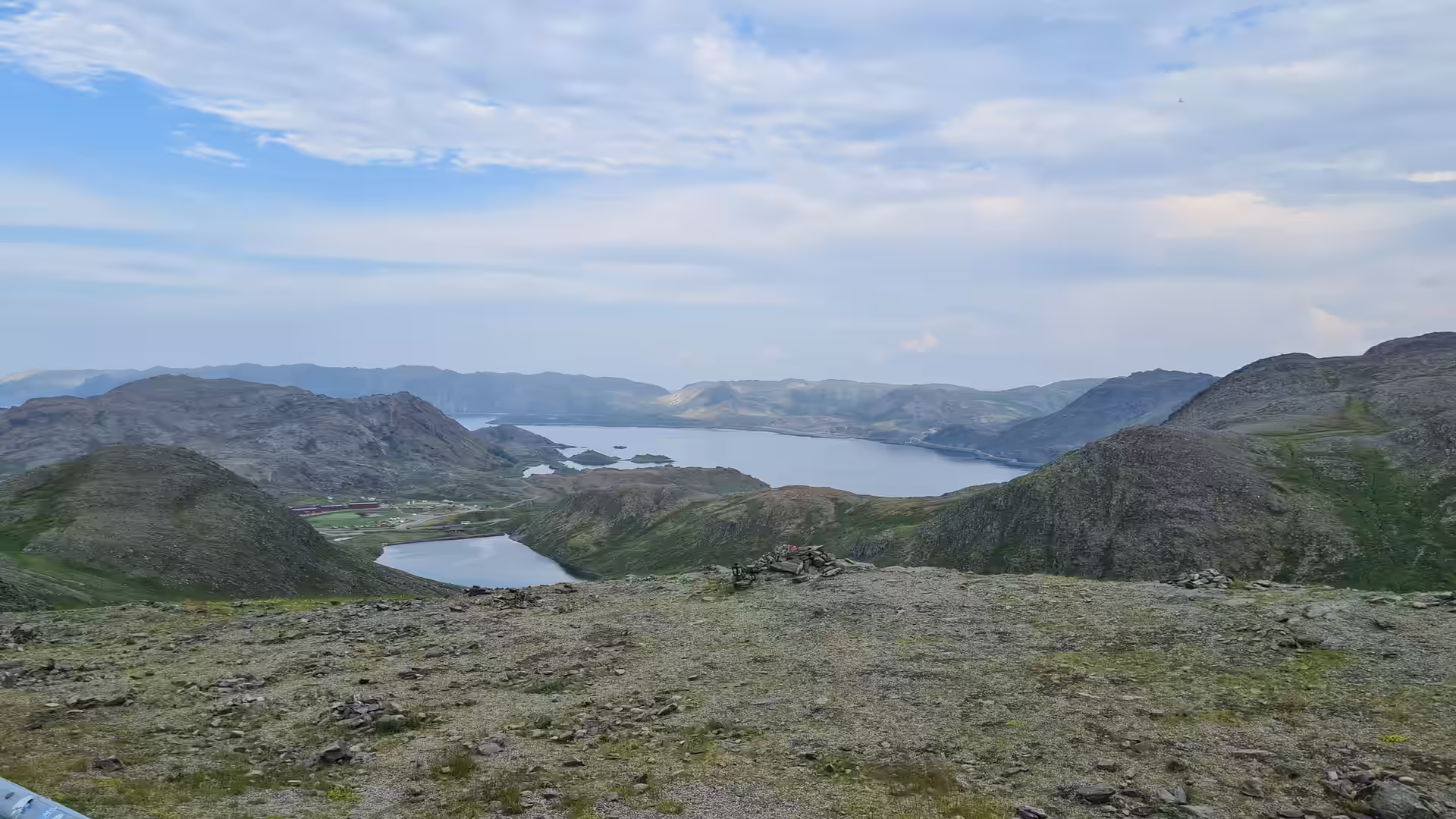
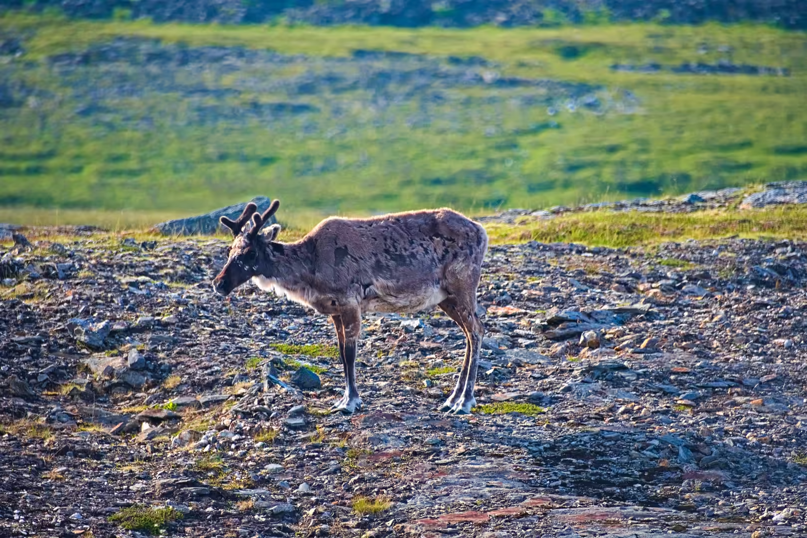
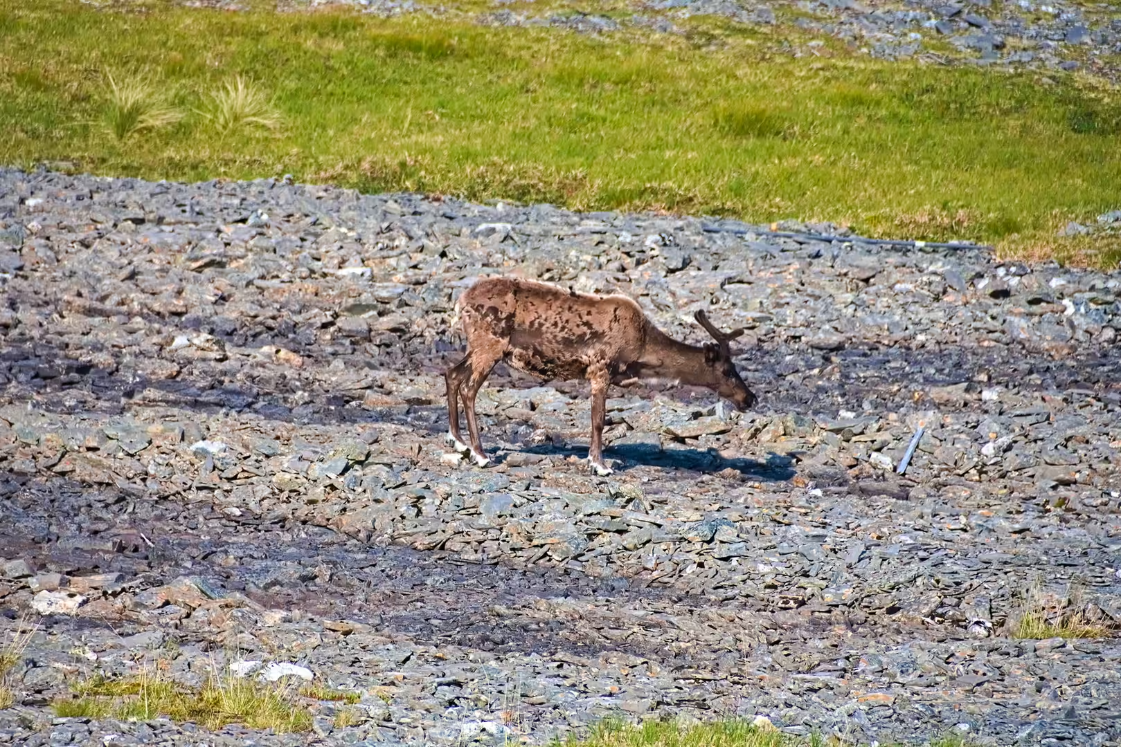
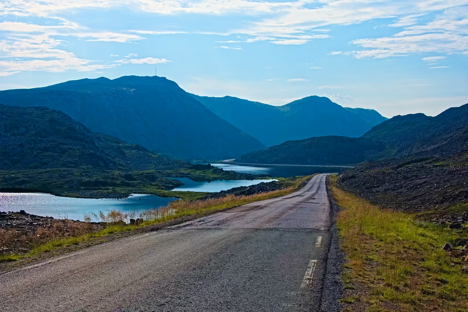
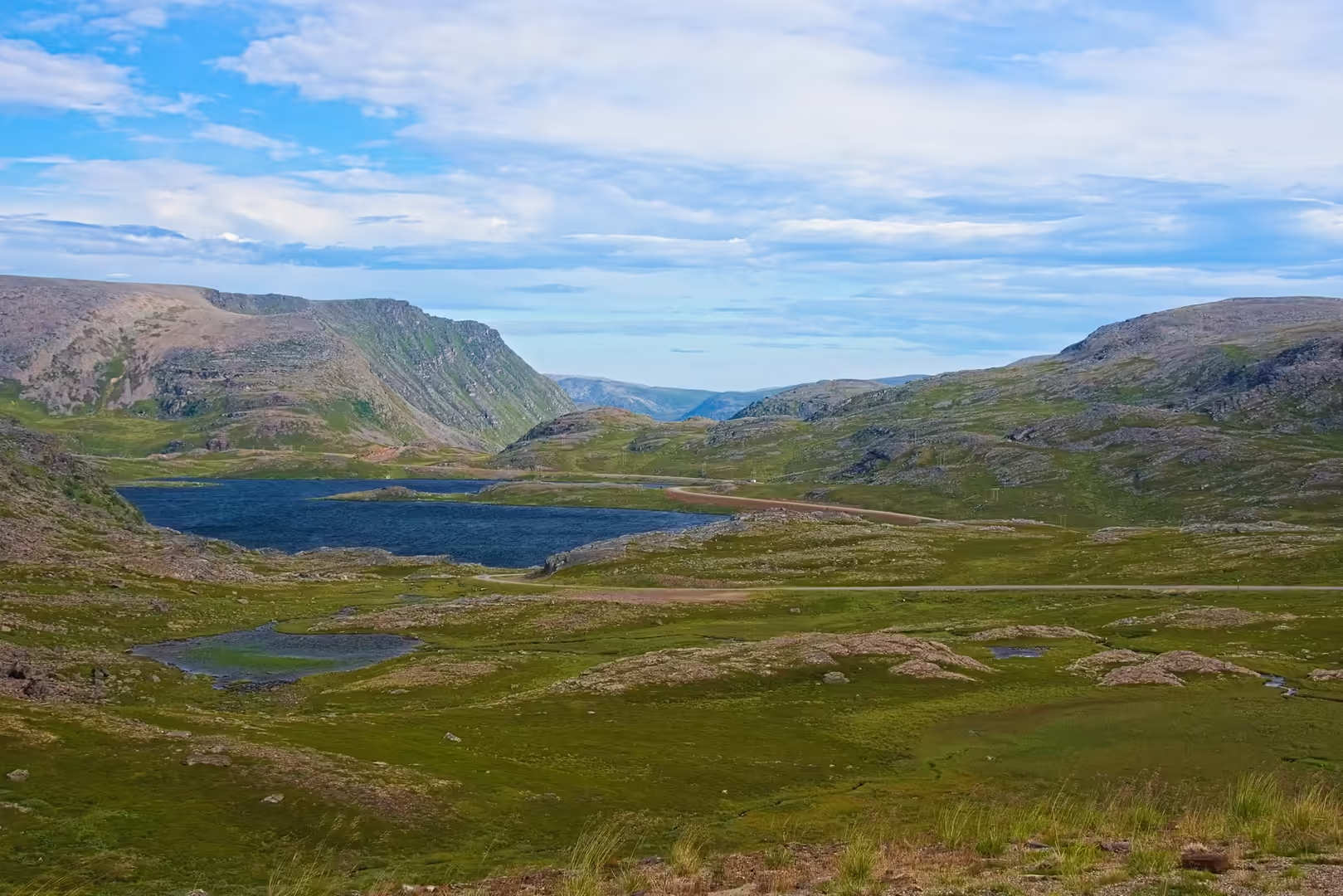
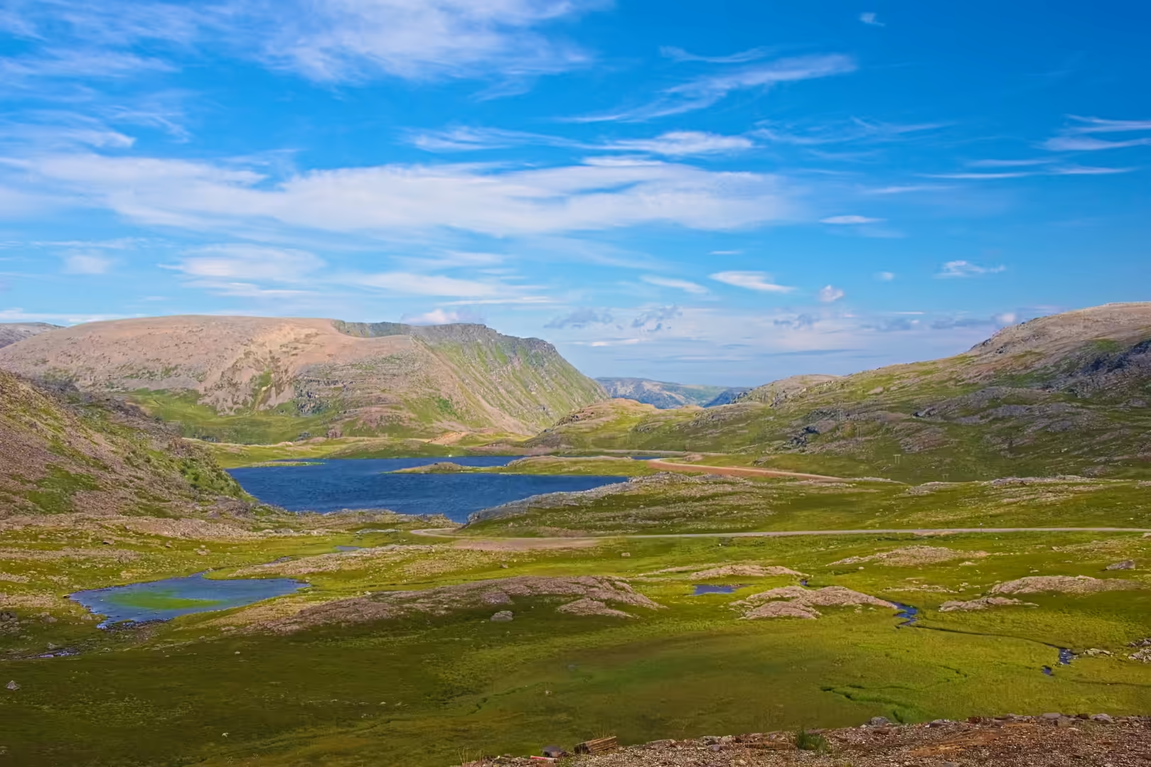
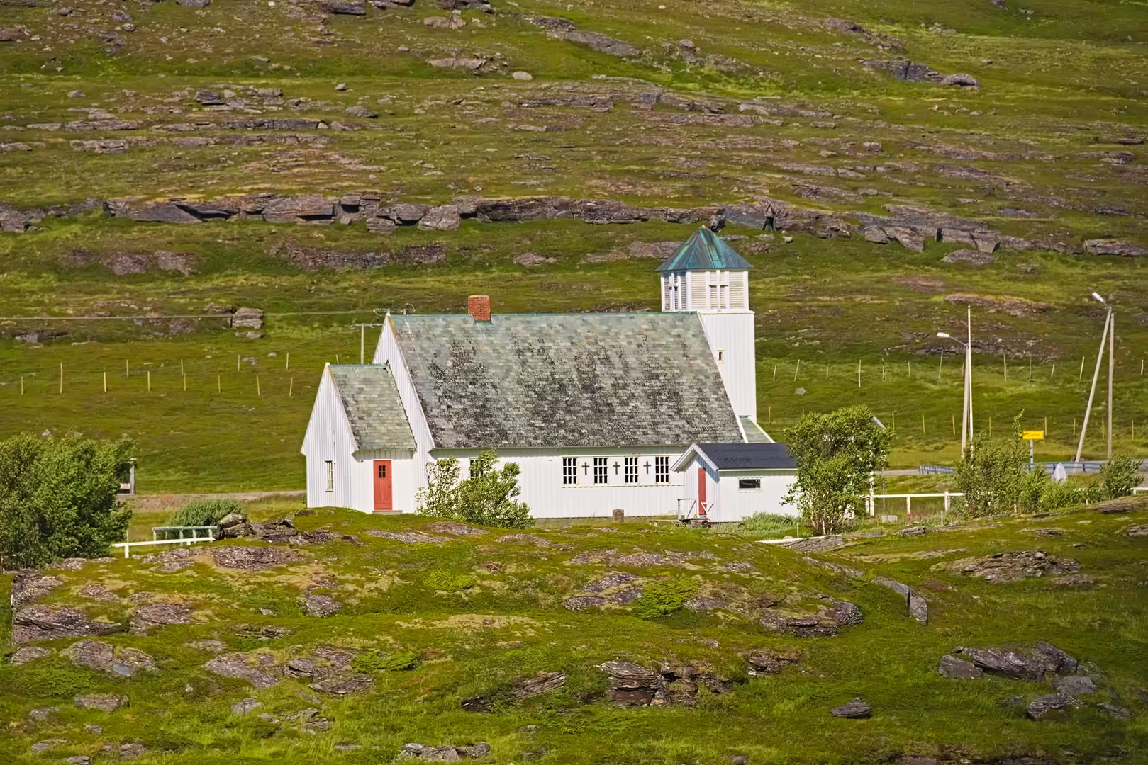
Beyond Lakselv the country turned bare and green, and the road bent west towards the Kåfjord. A white wooden church stood by the water at the mouth of a side valley, willowherb and dense purple flowers lined the verges, and small blue lakes lay between the hills. The first reindeer of the stage appeared on the slopes above the road.
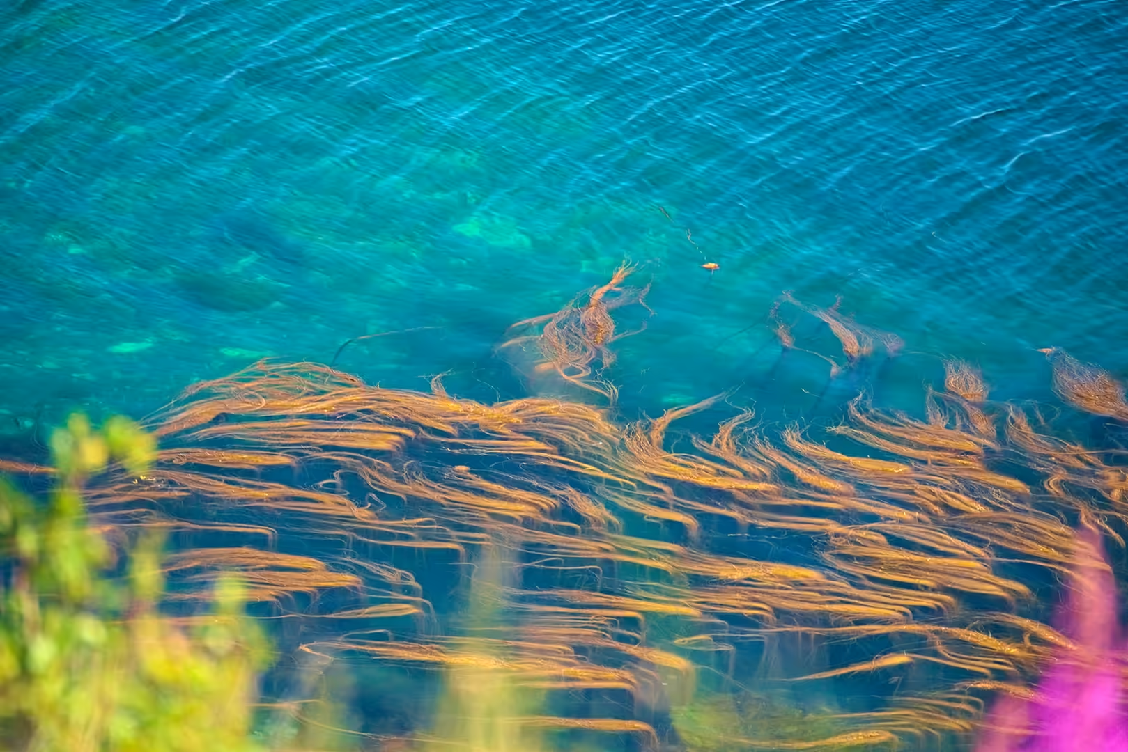
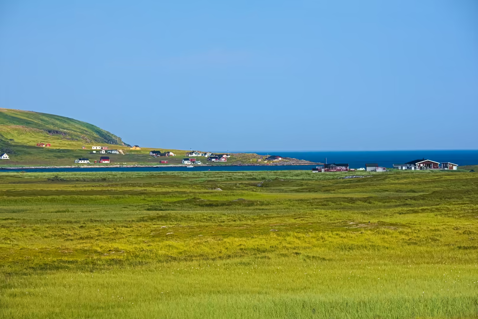
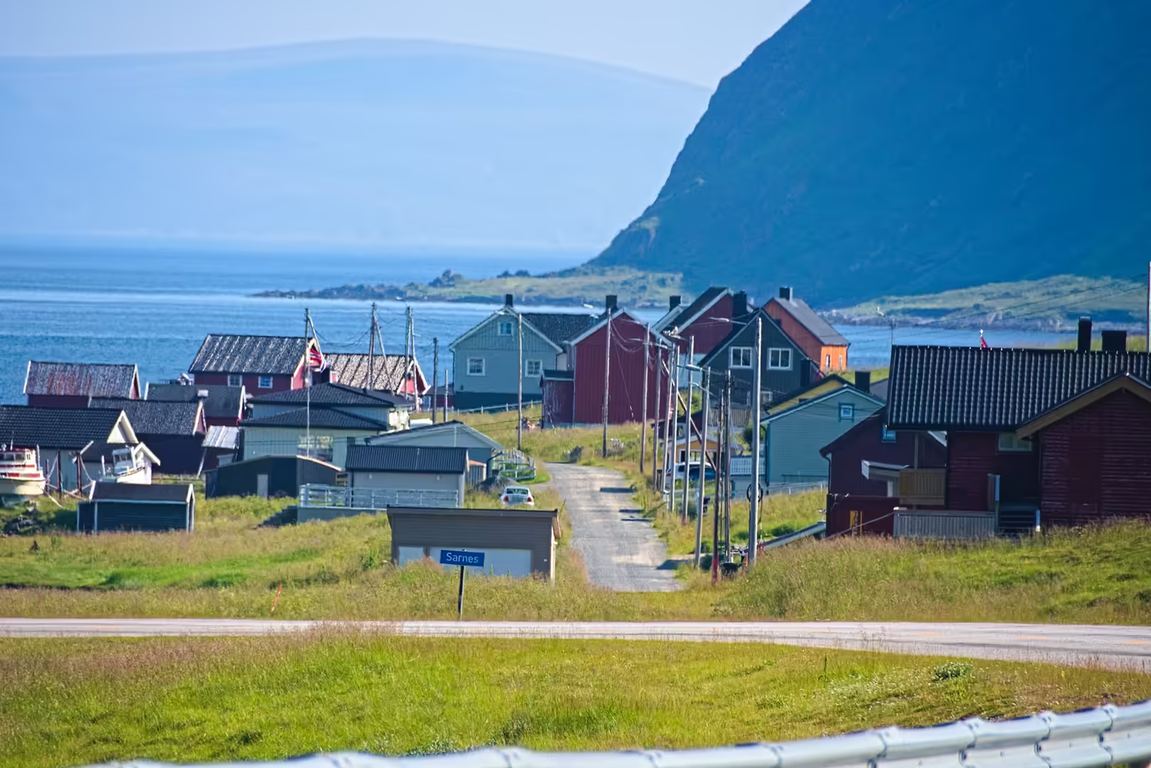
The way to the North Cape crosses the Kåfjord and then Magerøya, the island at the very top of Norway. Villages of red and ochre houses sit along the shore, kelp drifts in the clear water below the road, and a blue sign in one lane gives the name Sørnes. A cruise ship lay offshore beyond the small settlement, waiting its turn at the cape.
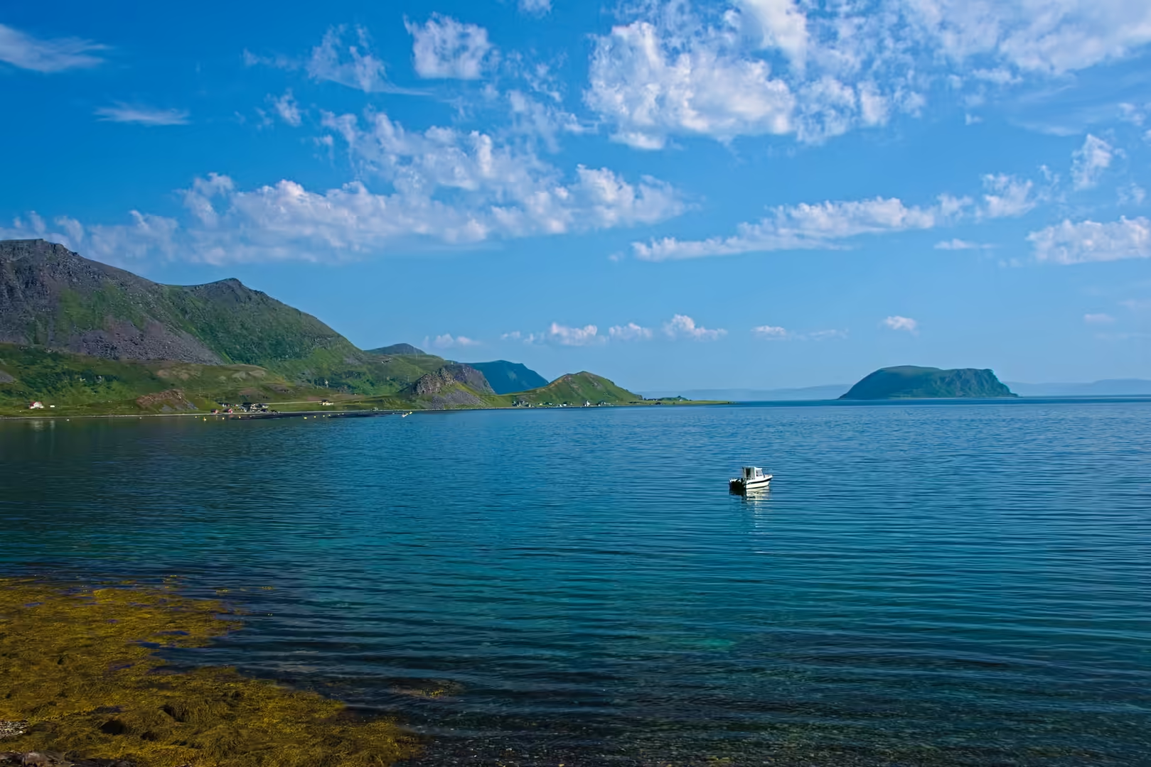
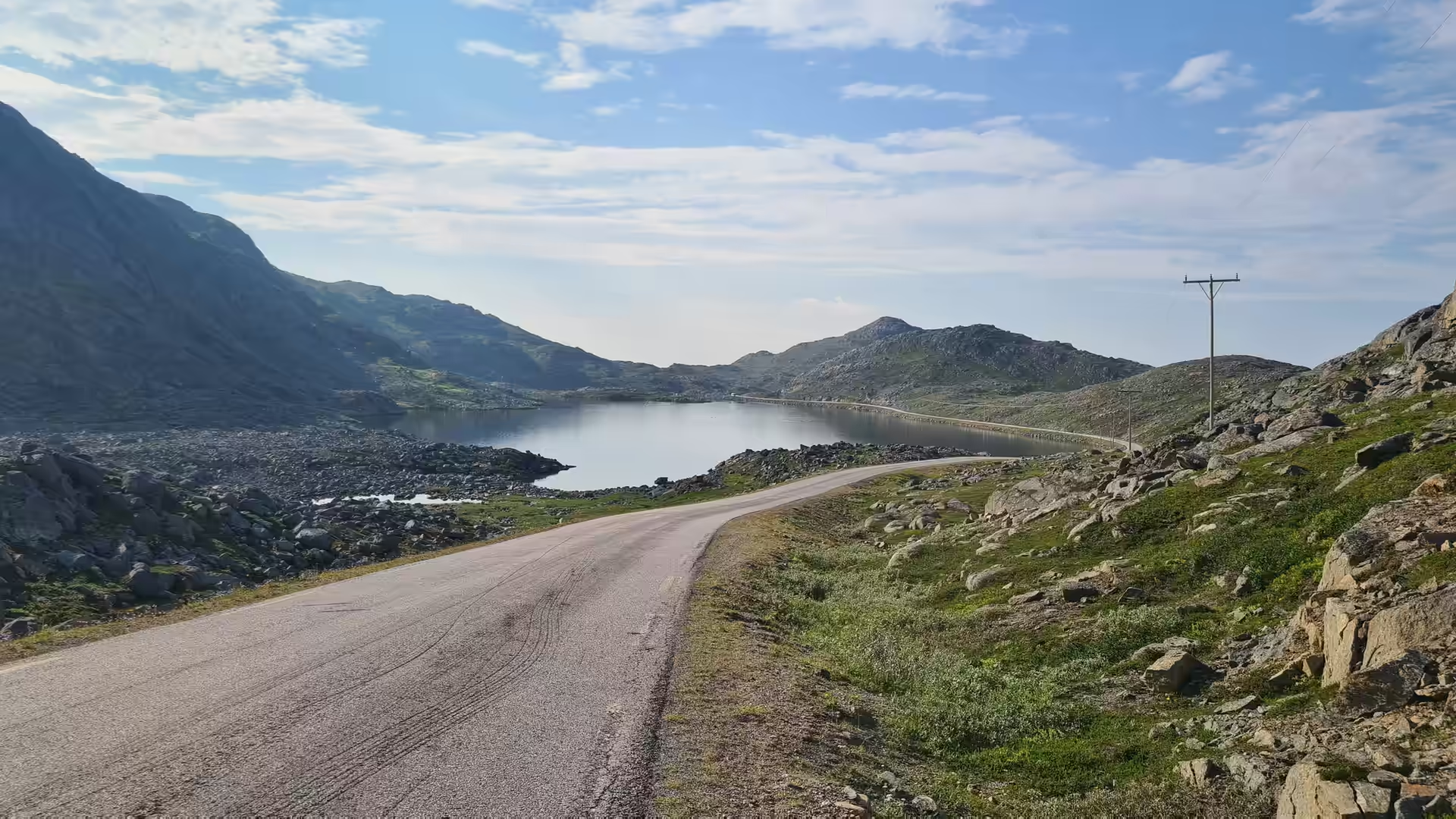
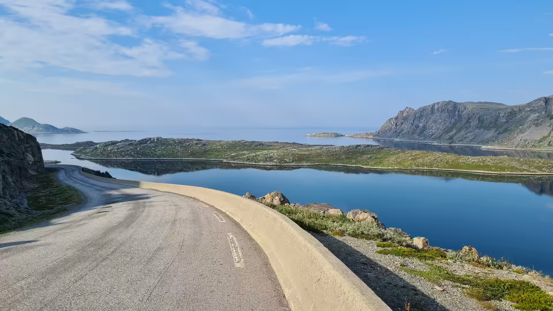
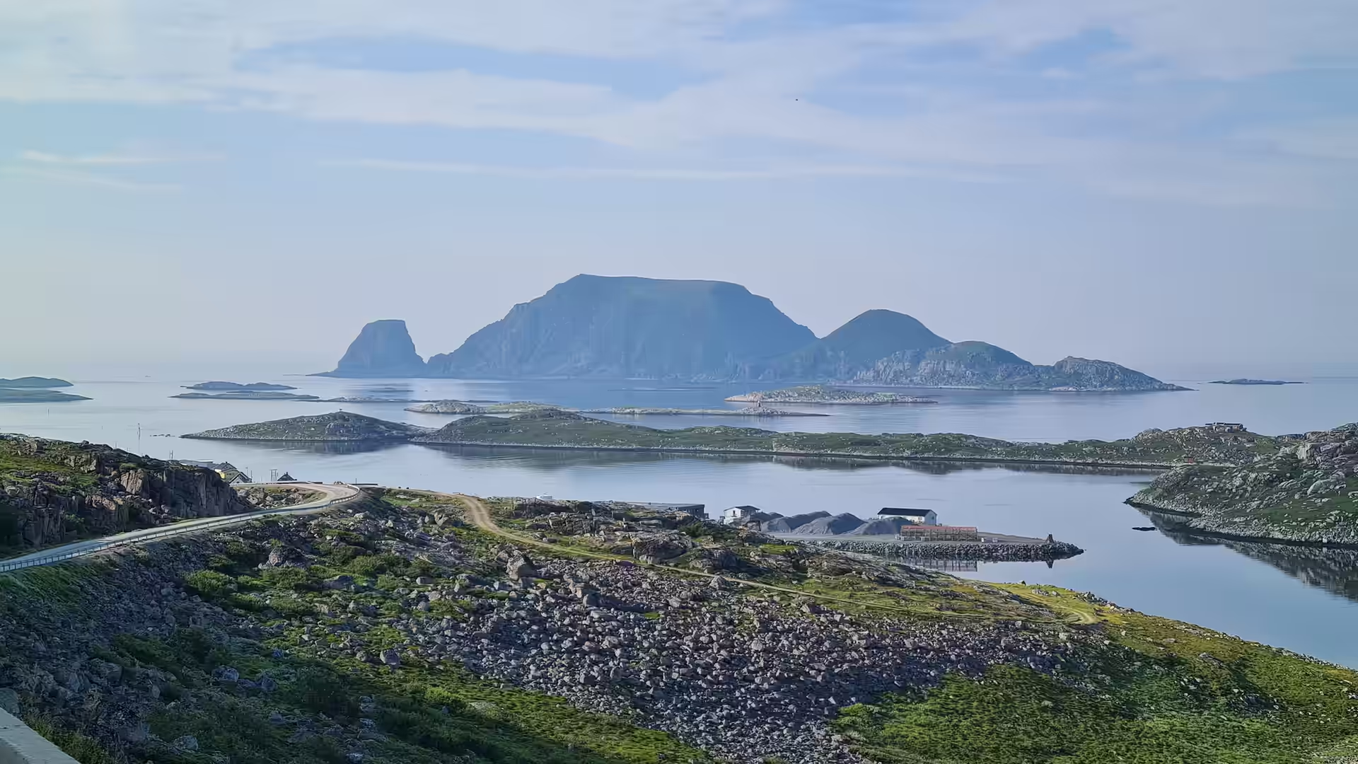
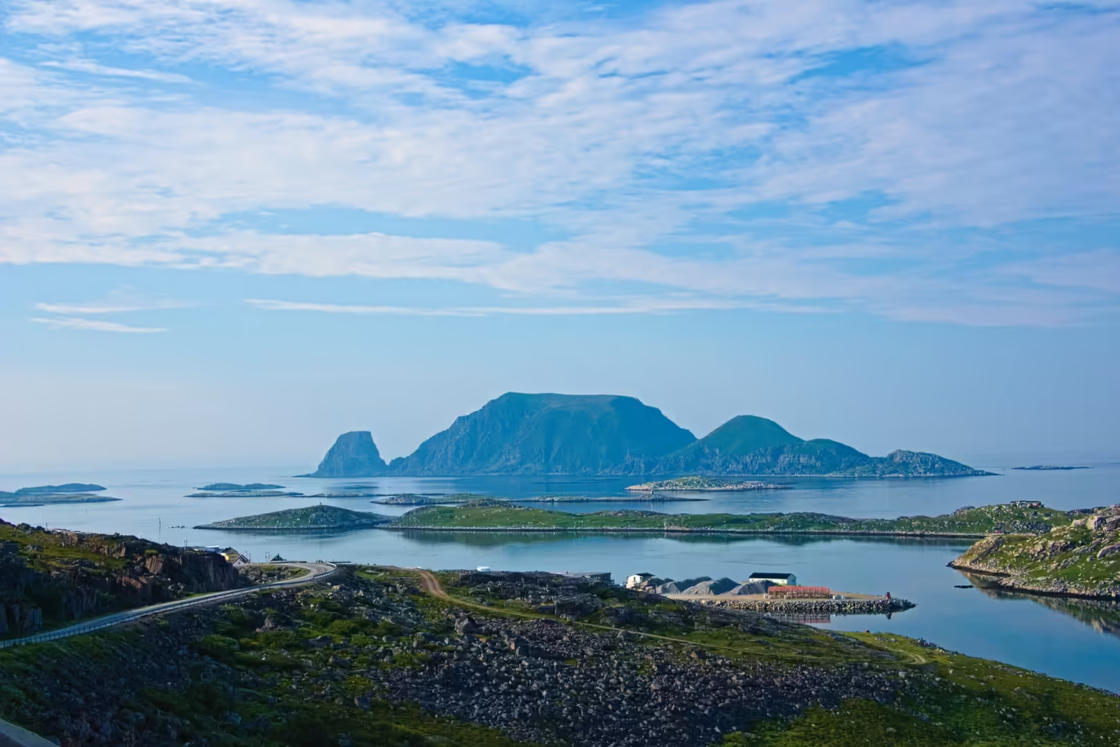
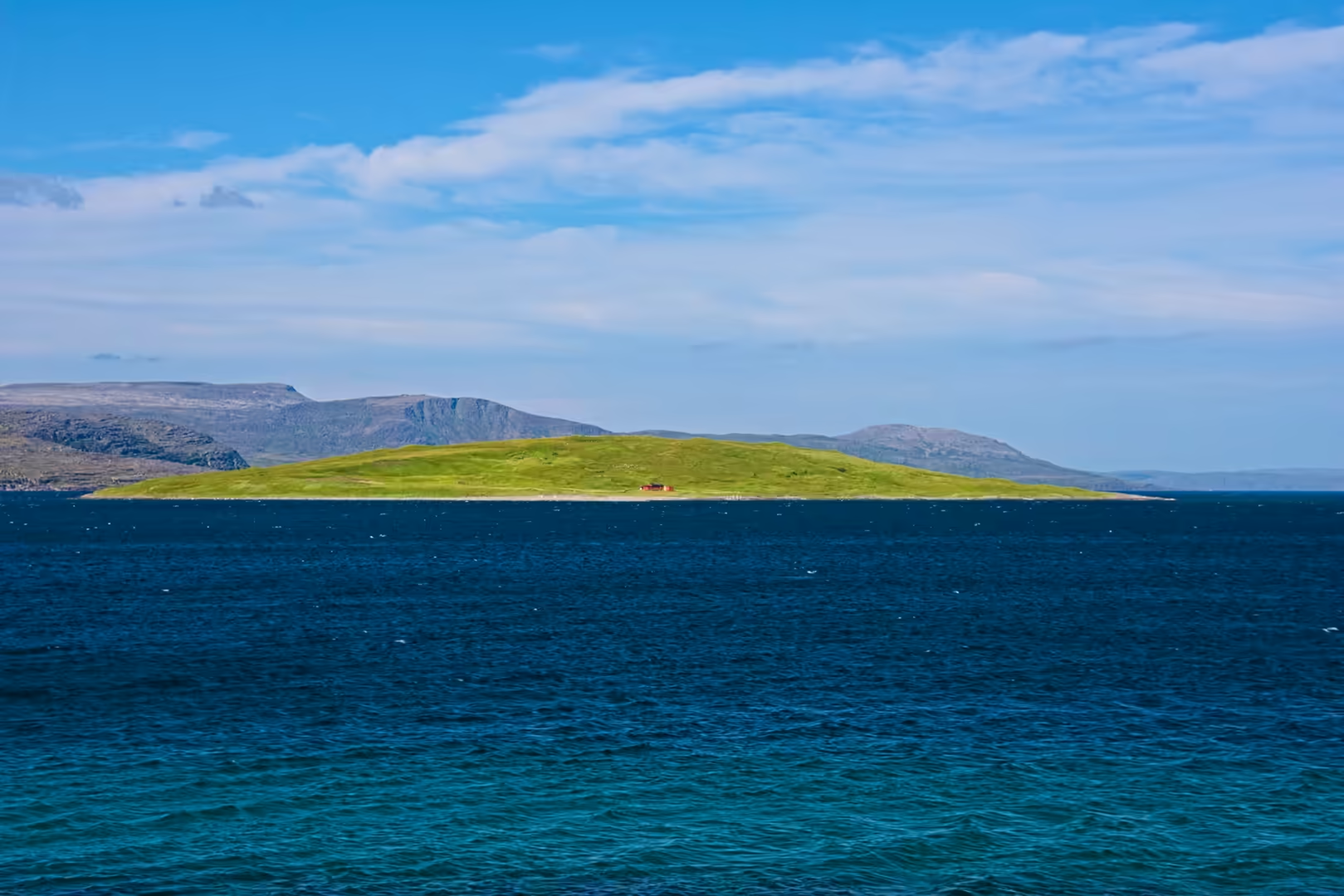
A detour westwards led to Gjesvær, an old fishing village on the outer coast. The gravel road ran between small lakes and over a narrow causeway, and the flat topped island of Gjesværstappan stood out in the calm bay beyond. The bird cliffs there are among the largest seabird colonies in the north.
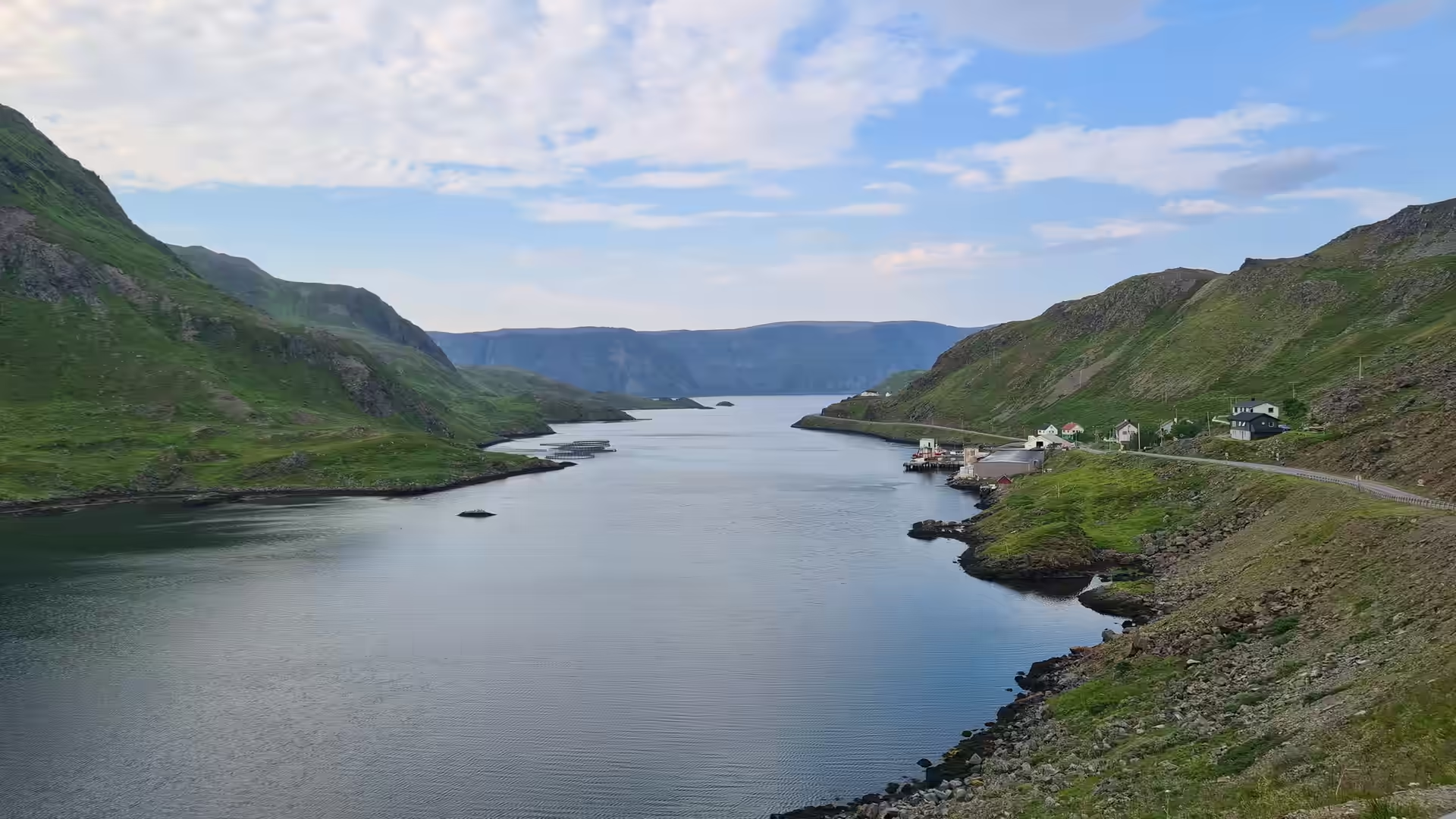
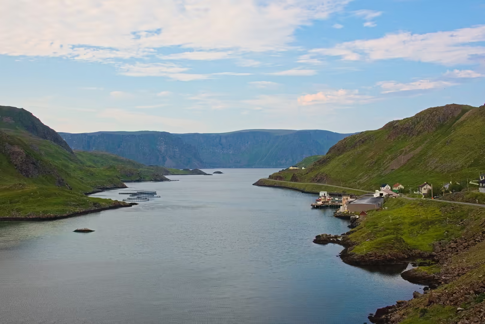
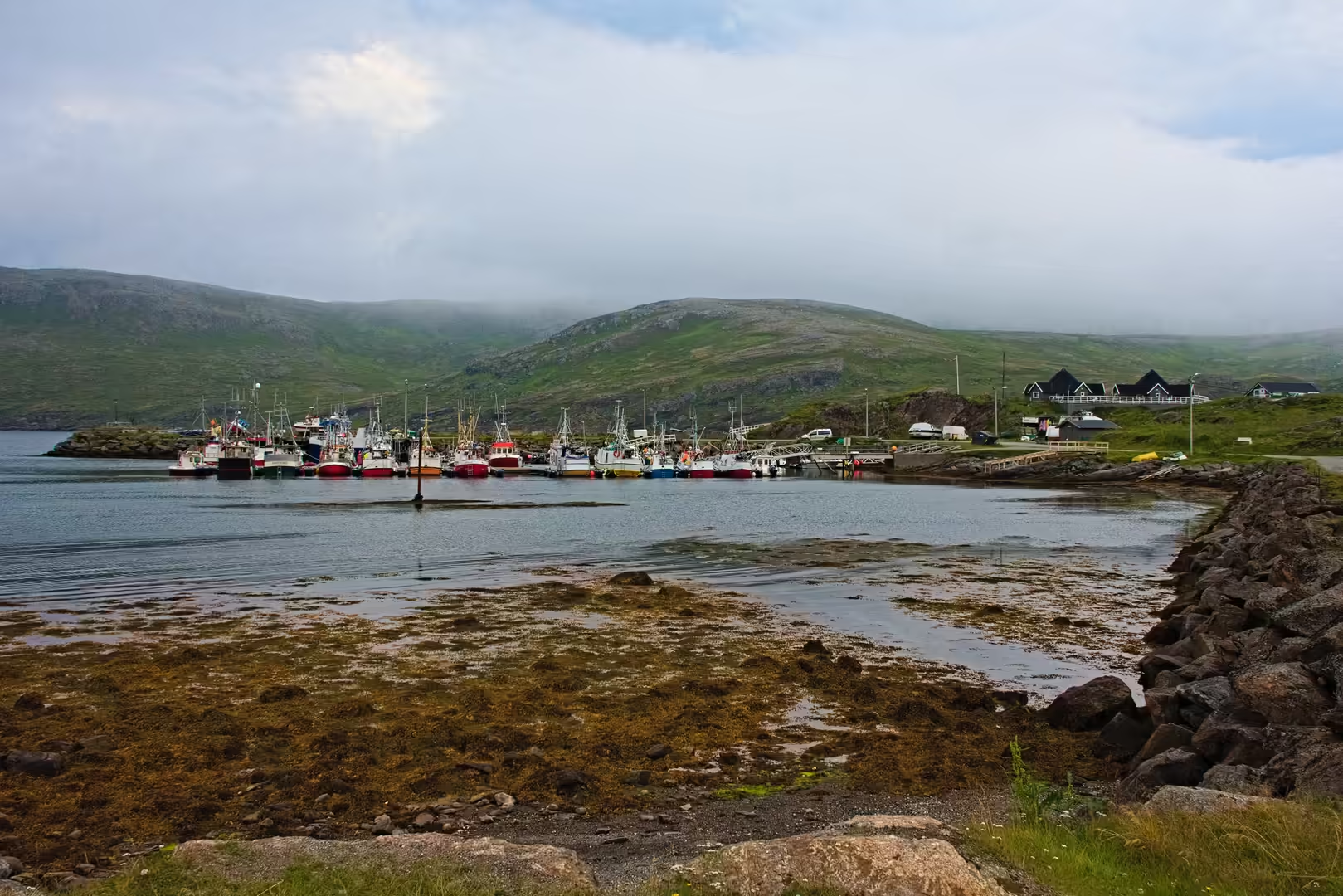
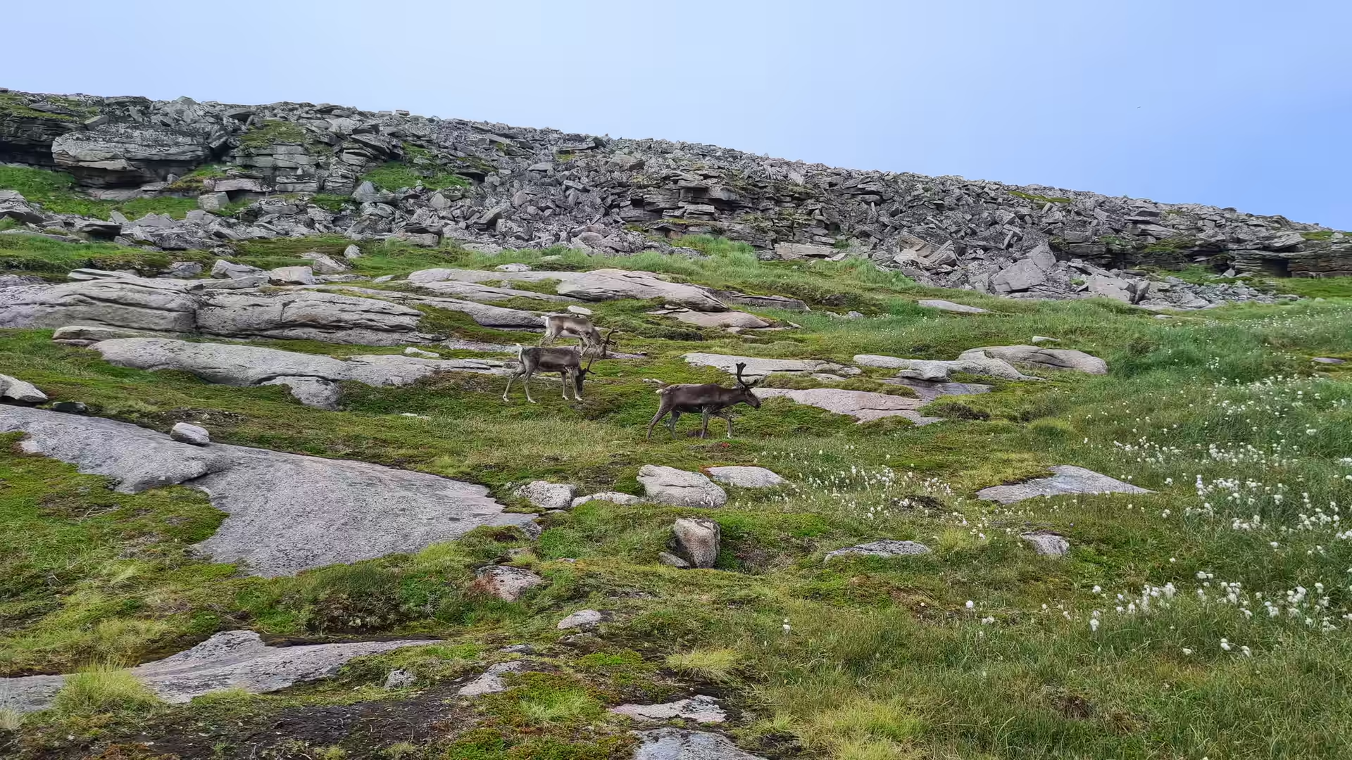
Back on the main island the road turned north again past Kamøyvær, a tiny harbour settlement wedged between steep green mountains. Reindeer grazed on the rocky slopes above the road, the water in the inlet lay perfectly still, and fish pens floated in the bays. The fjord east of the village narrows until the mountains rise straight from the shore.
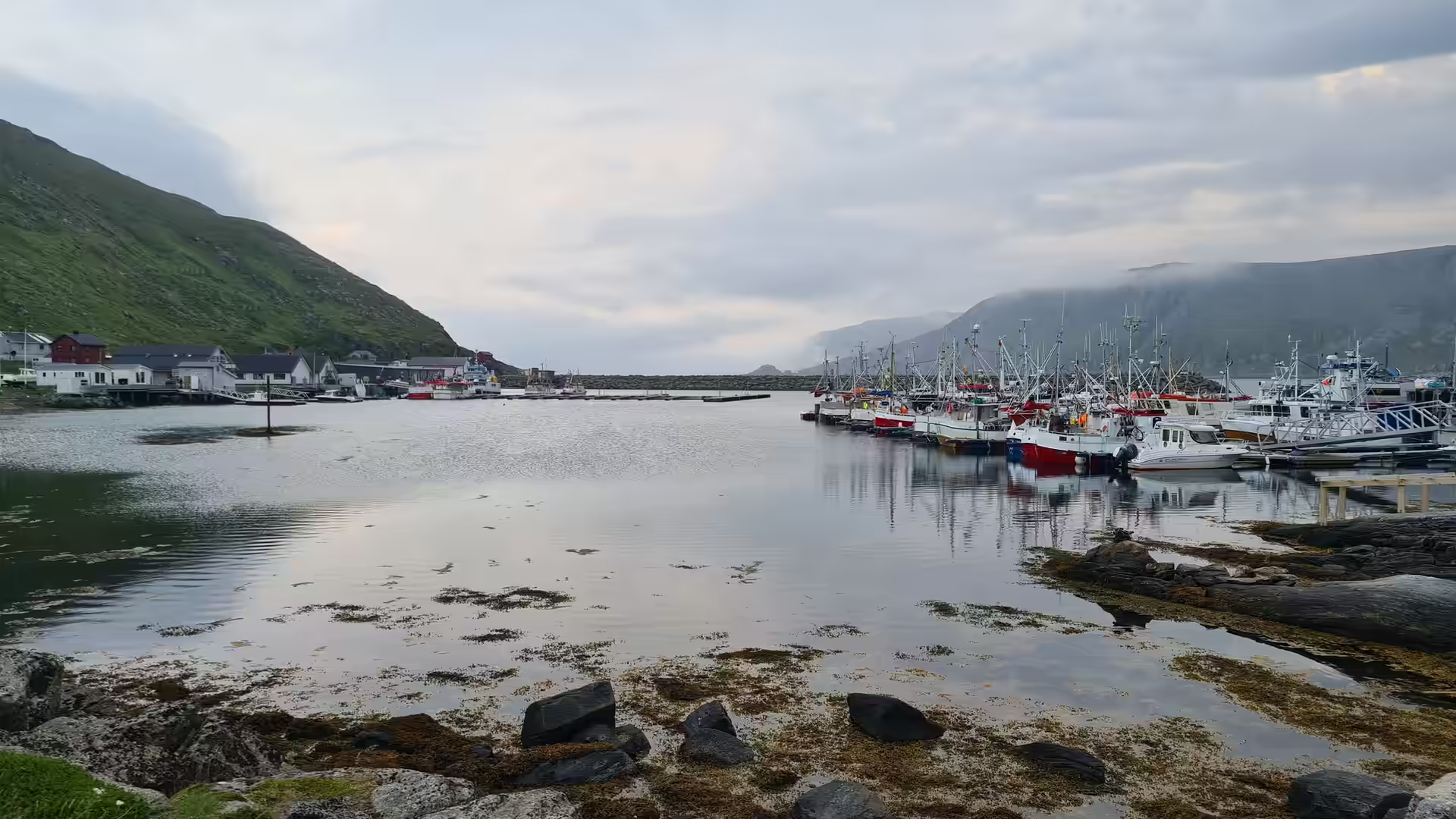
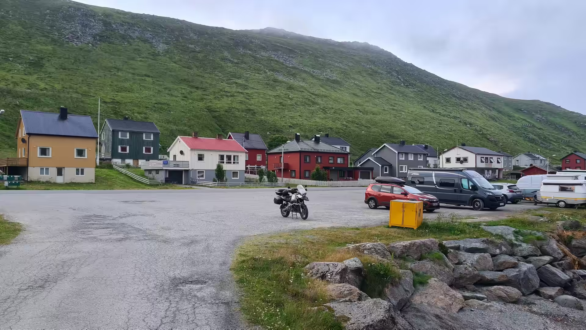
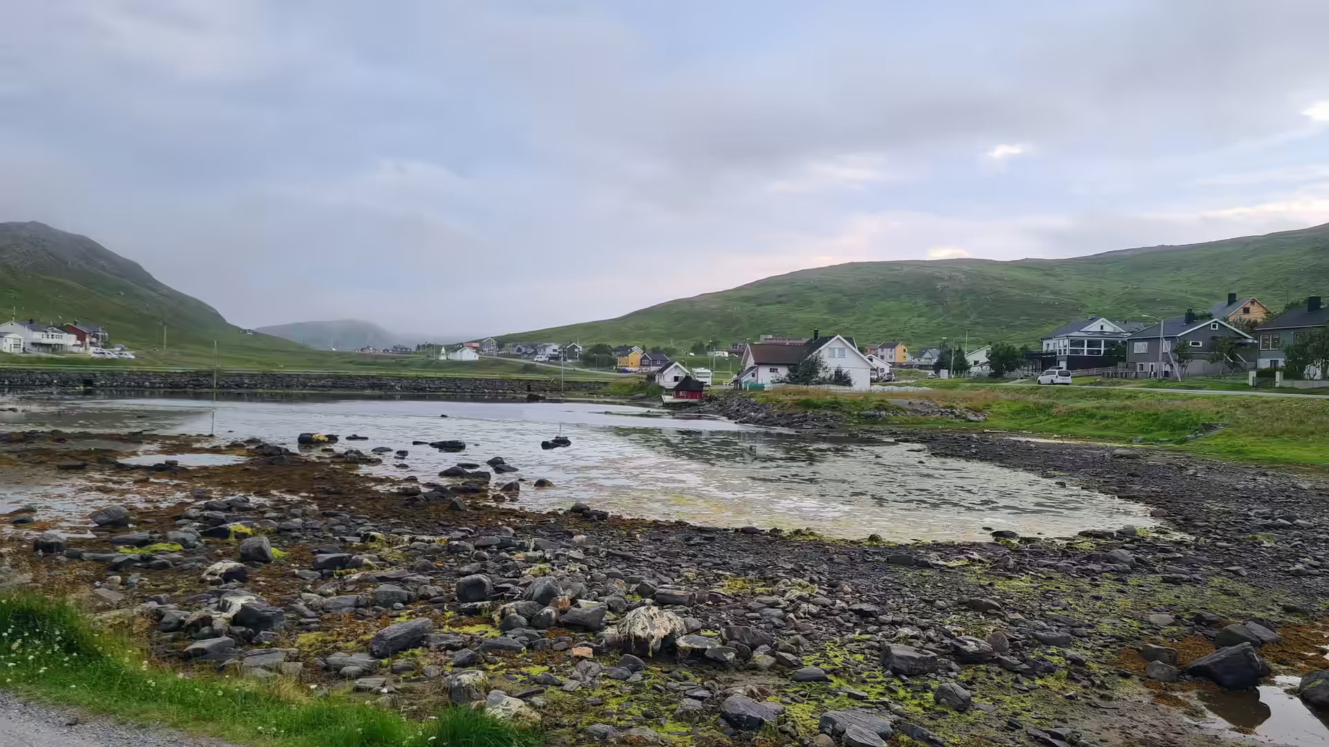
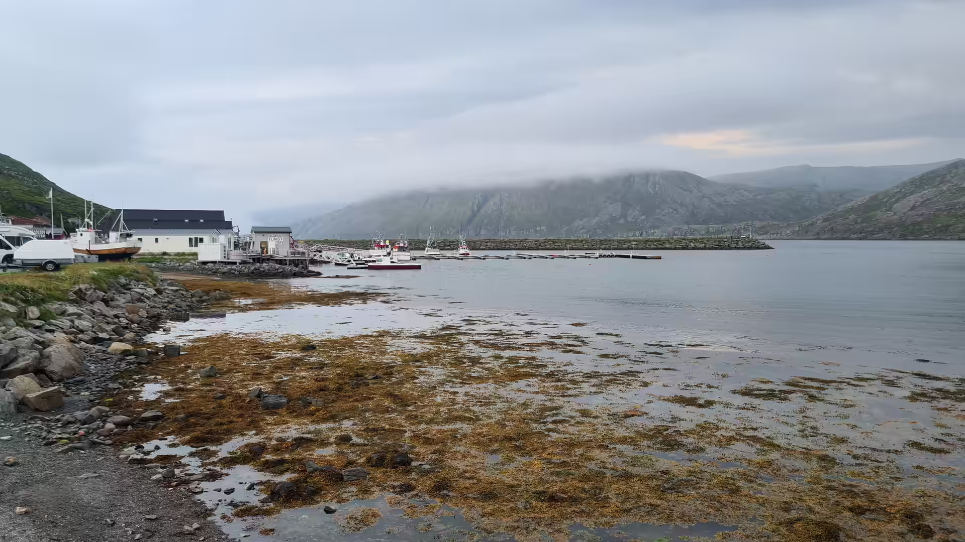
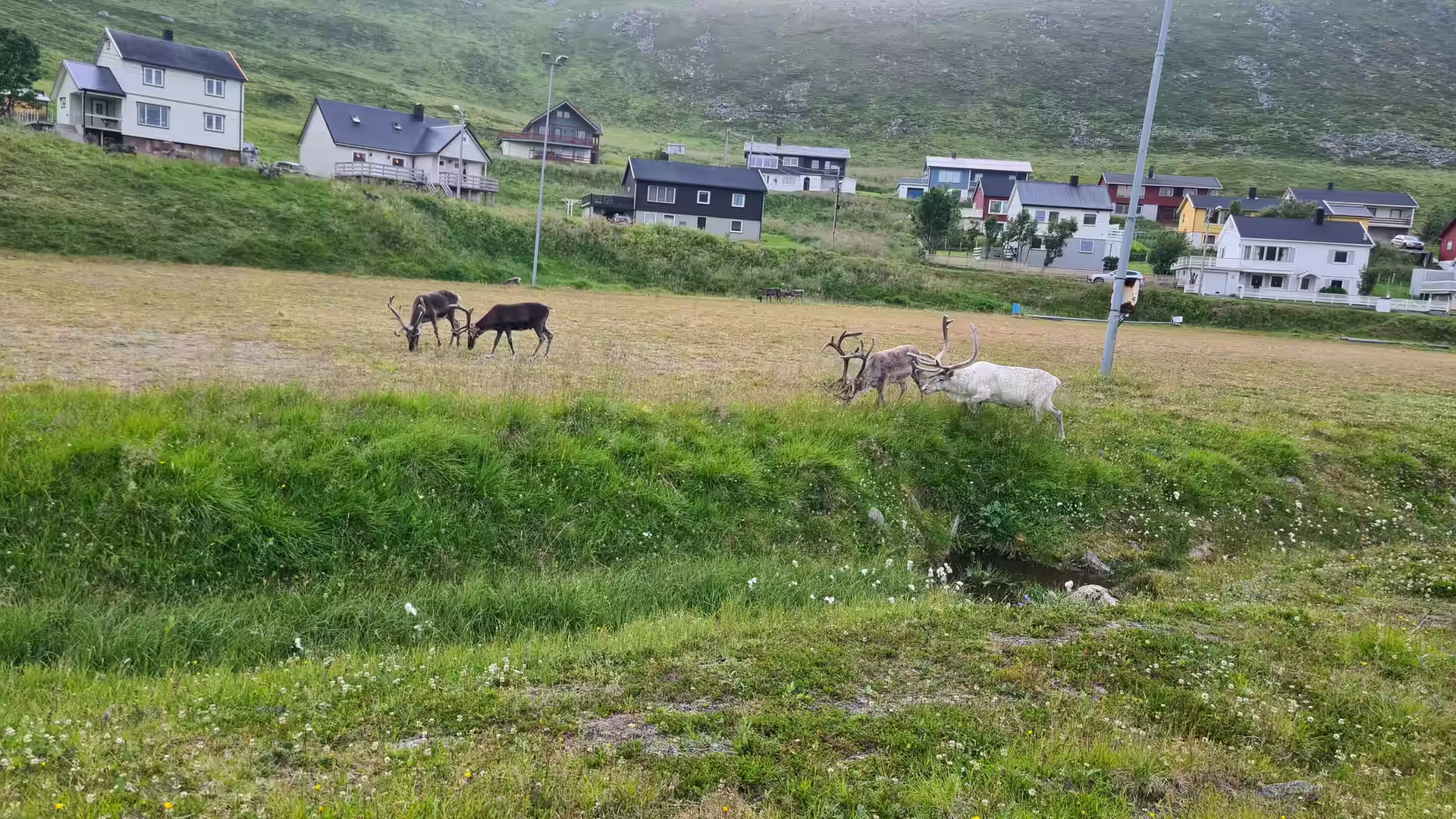
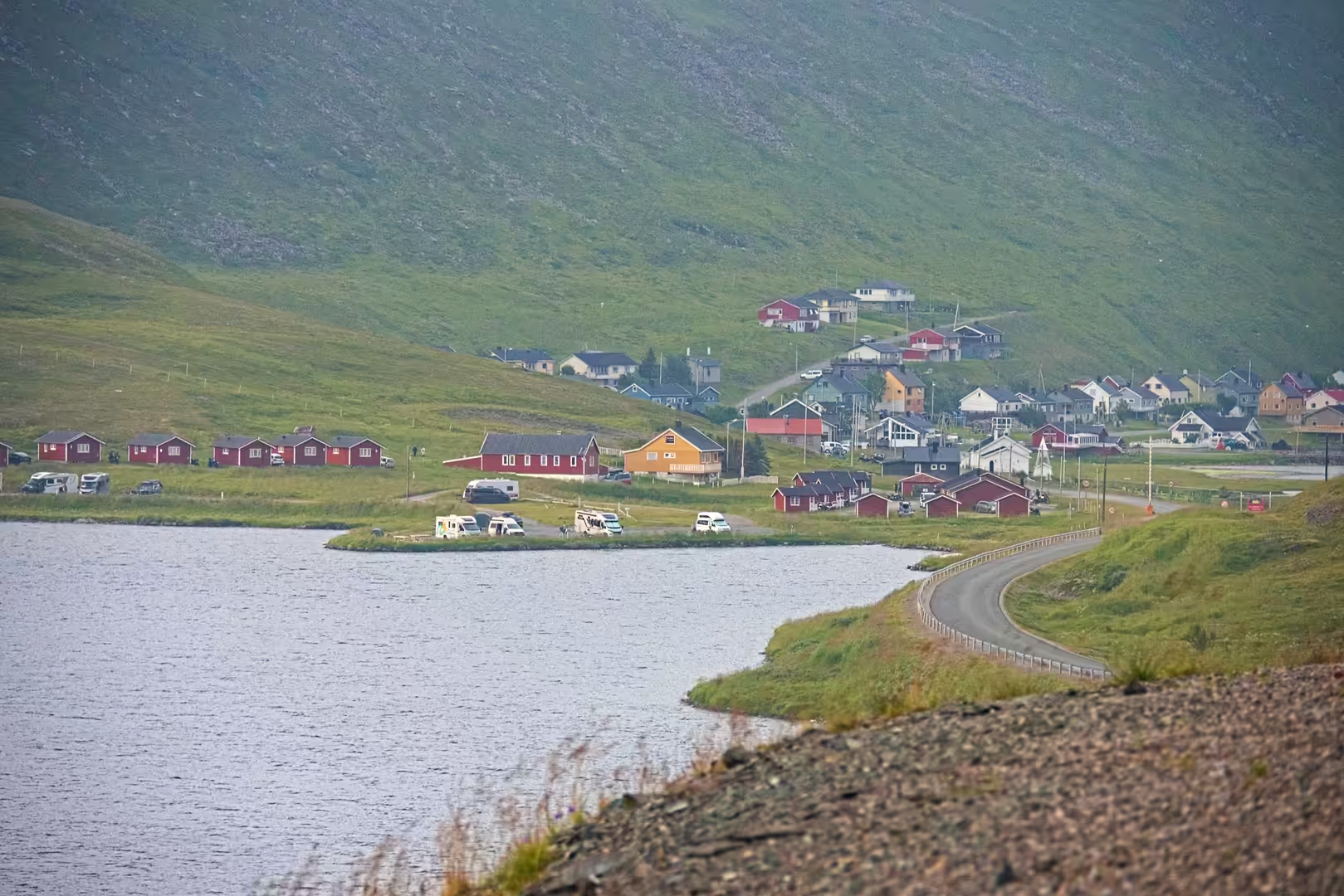
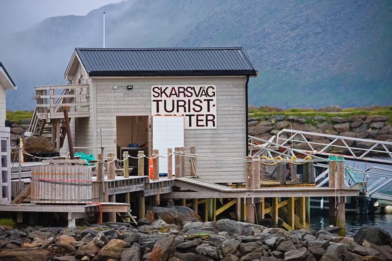
The night was spent at Skarsvåg, the last fishing village before the North Cape. The harbour, the low tide shore and a row of red cabins were all within a short walk of the tent, and reindeer grazed on the hillside beside the houses. The evening light stayed on the water until very late.
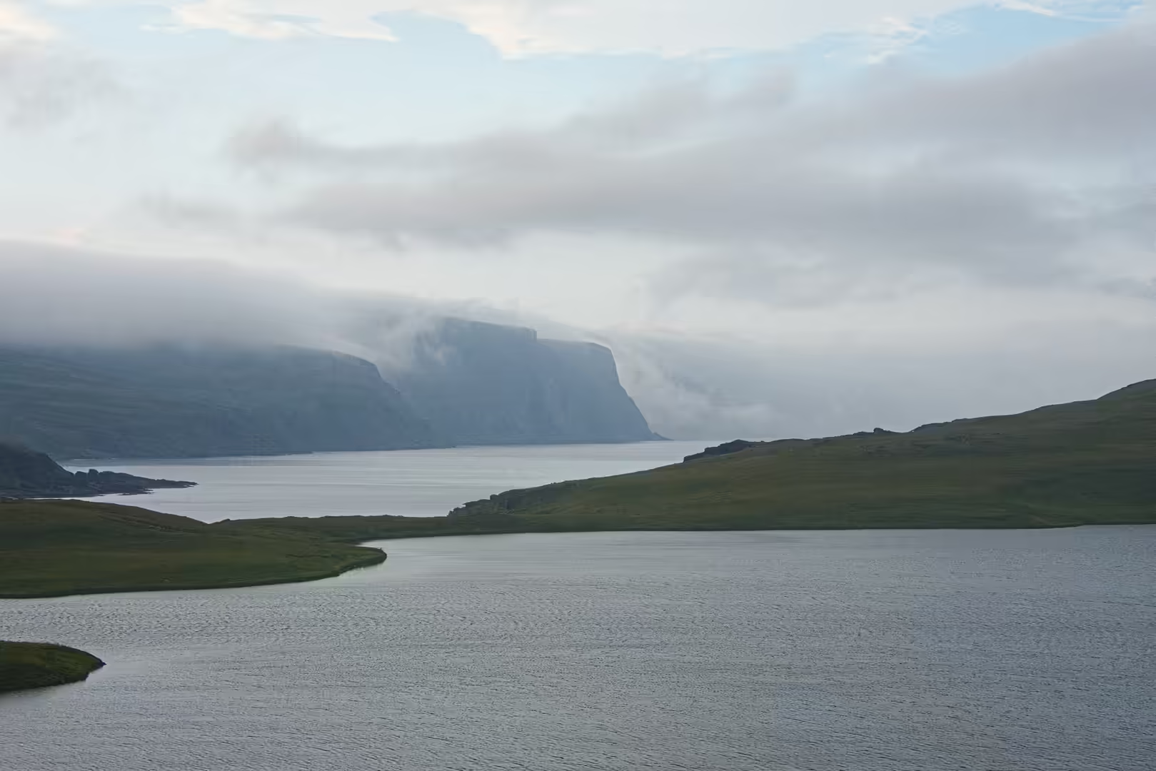
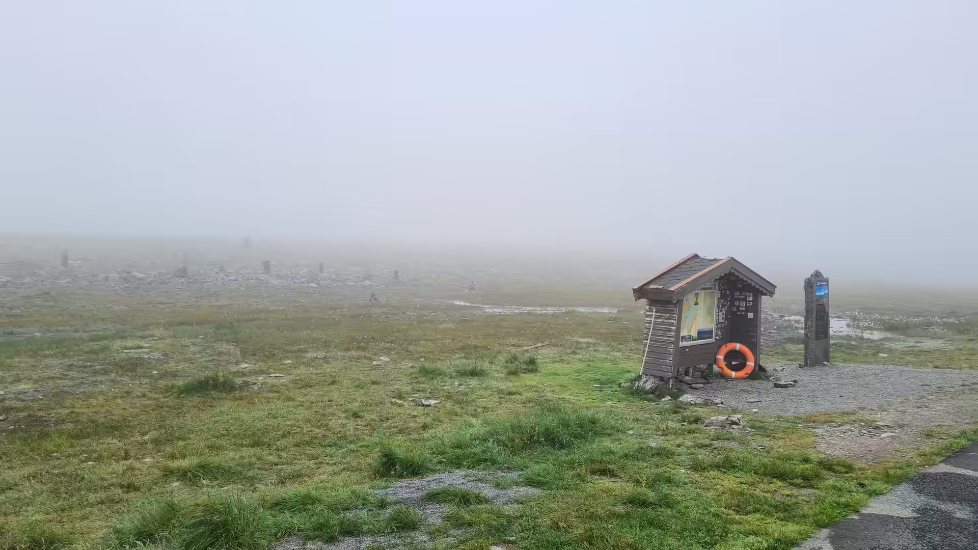
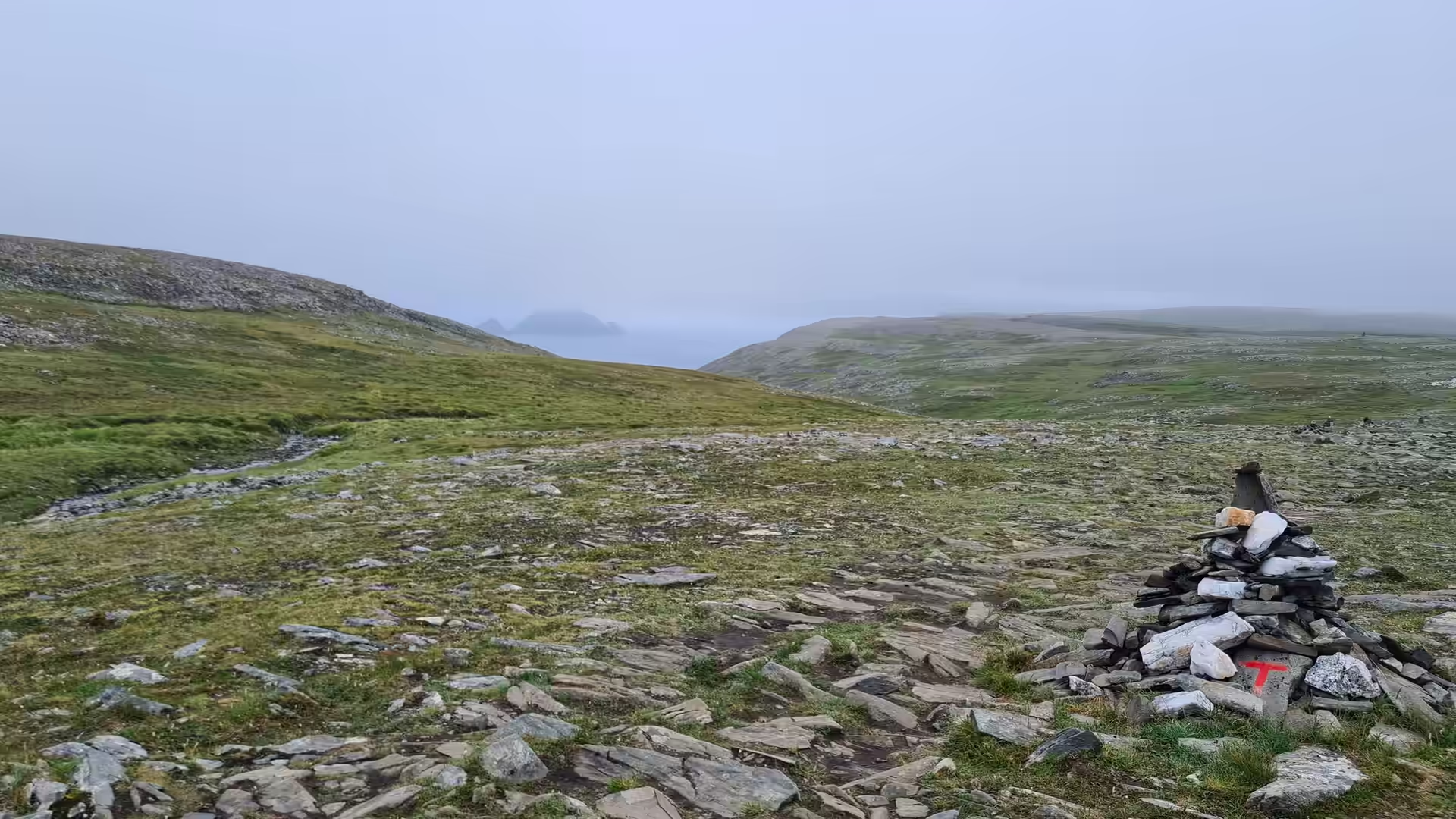
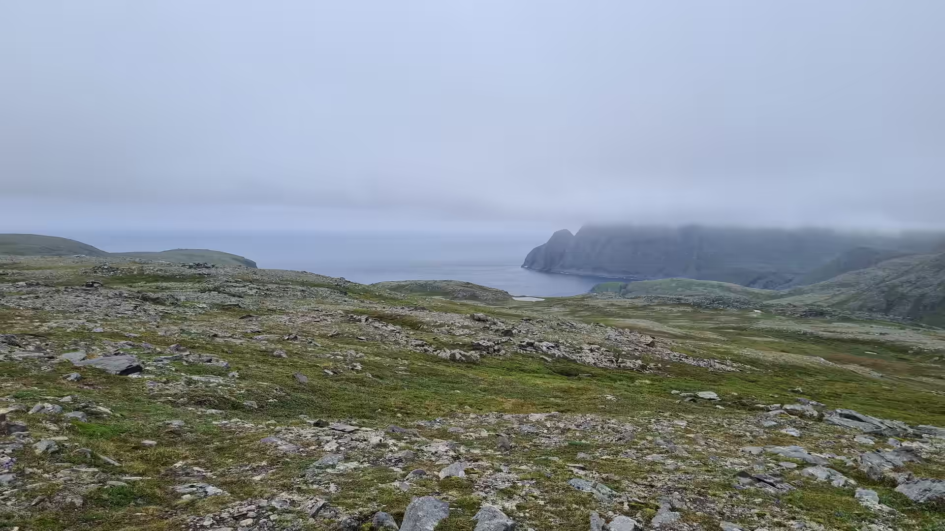
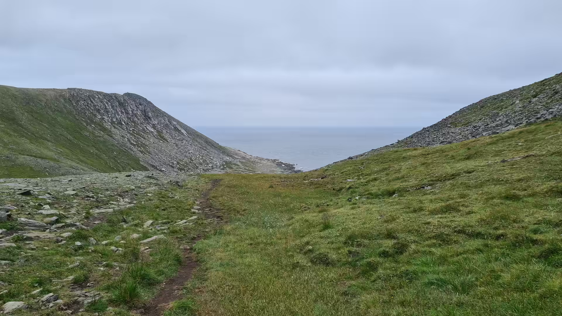
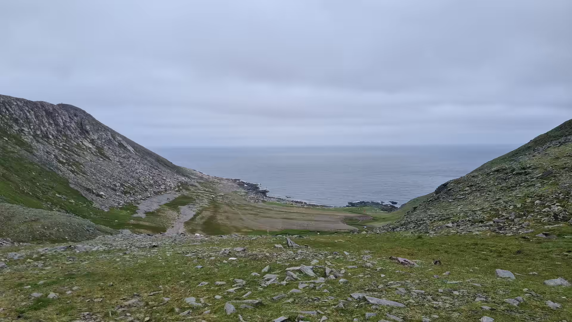
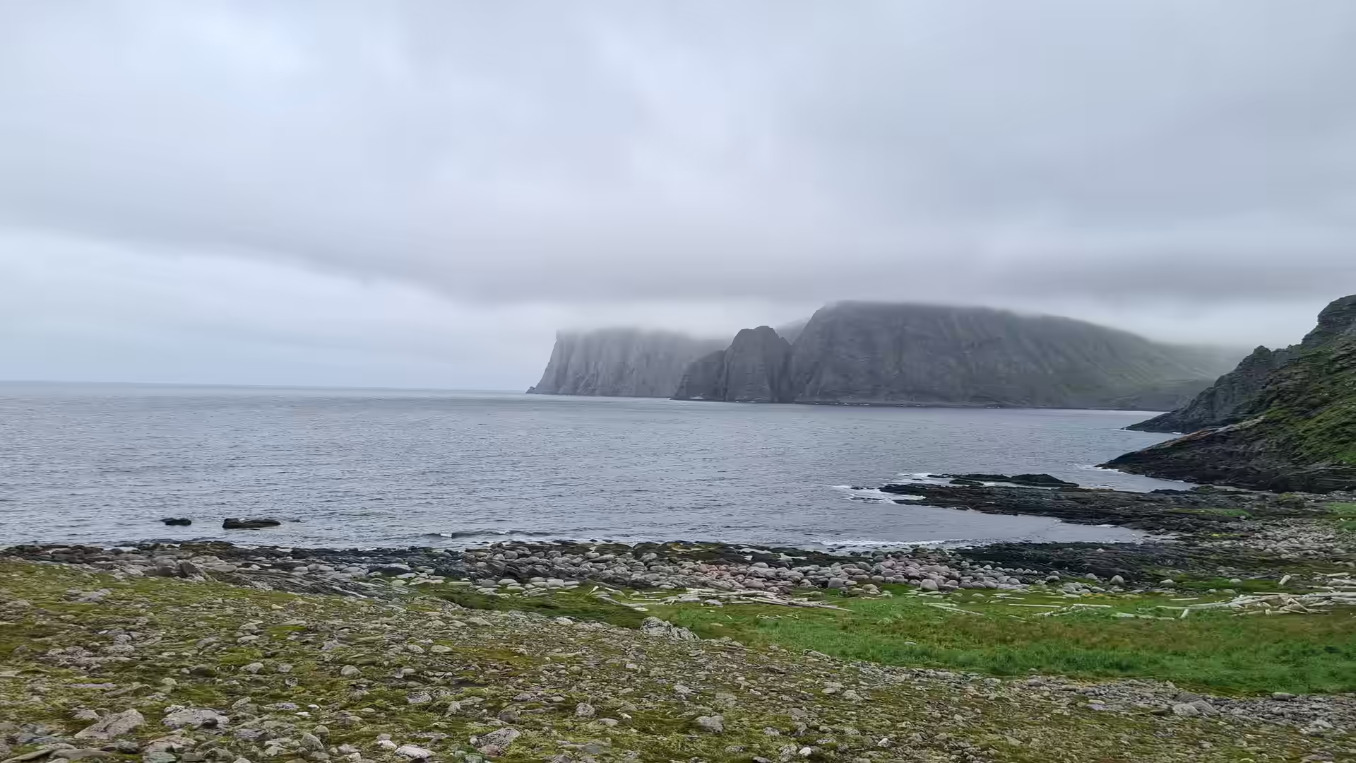
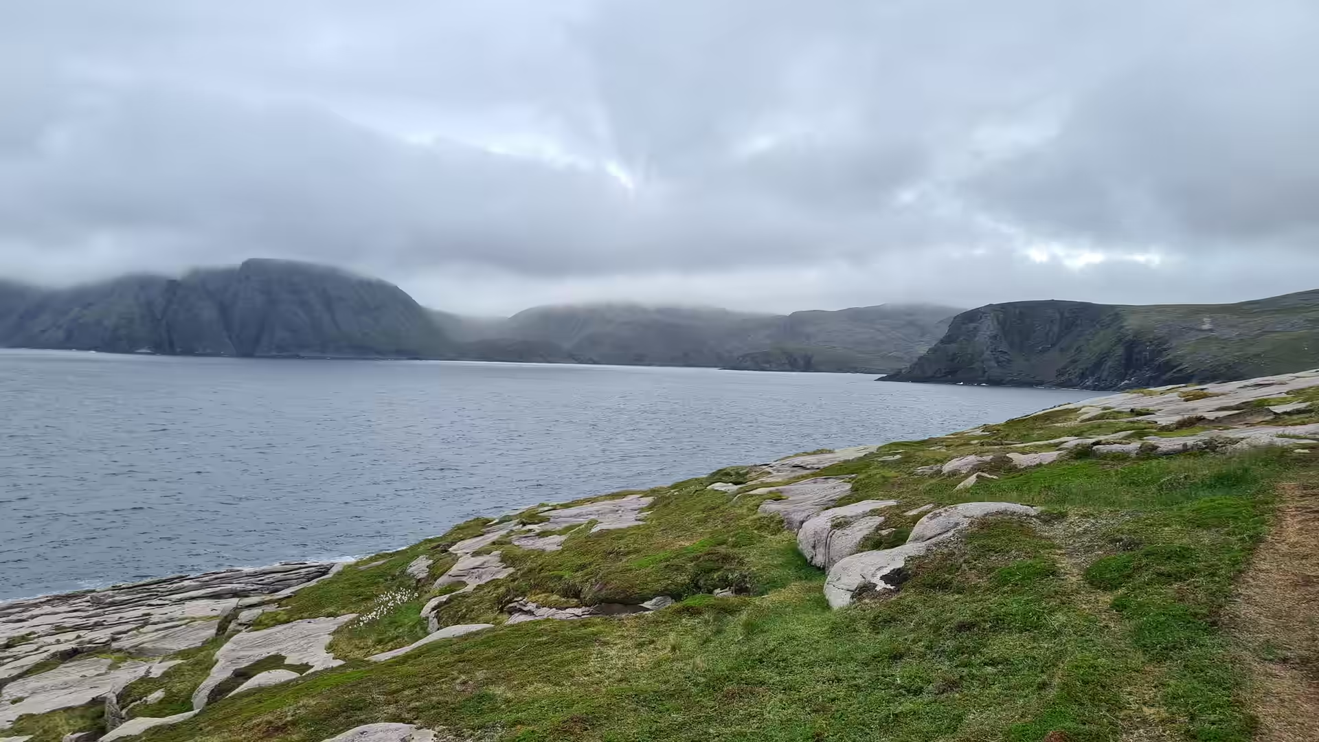
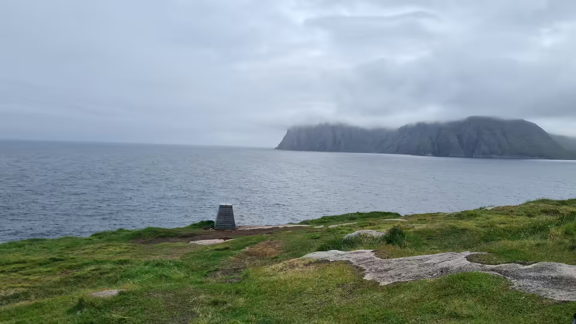
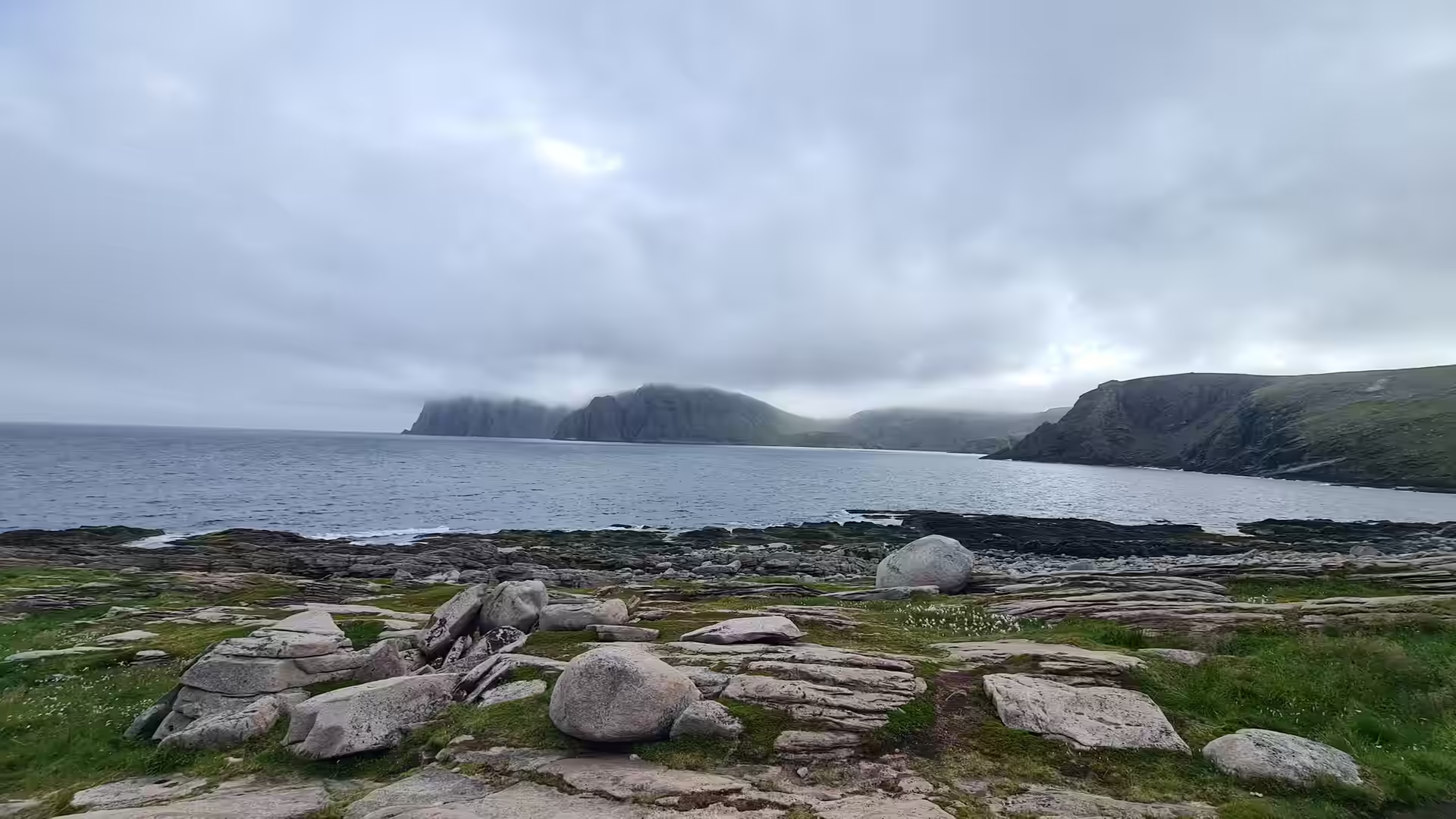
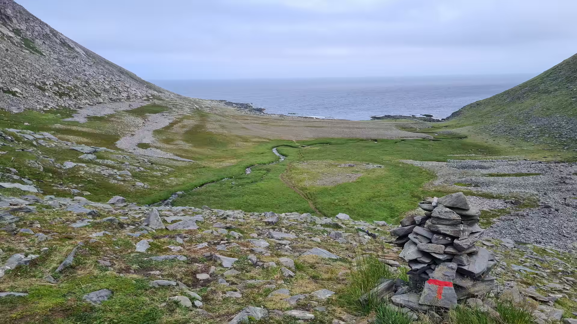
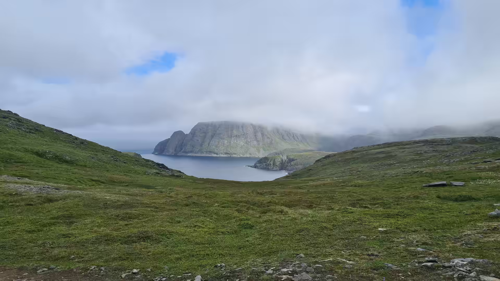
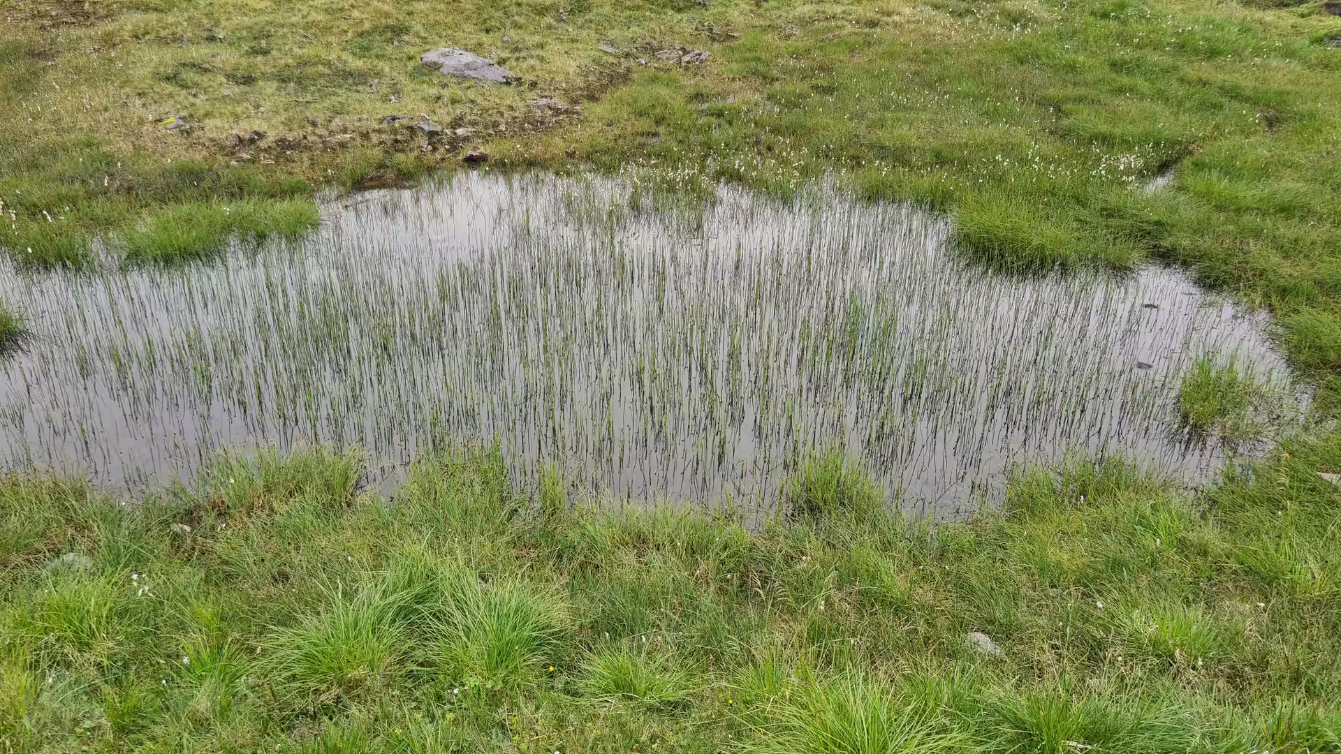
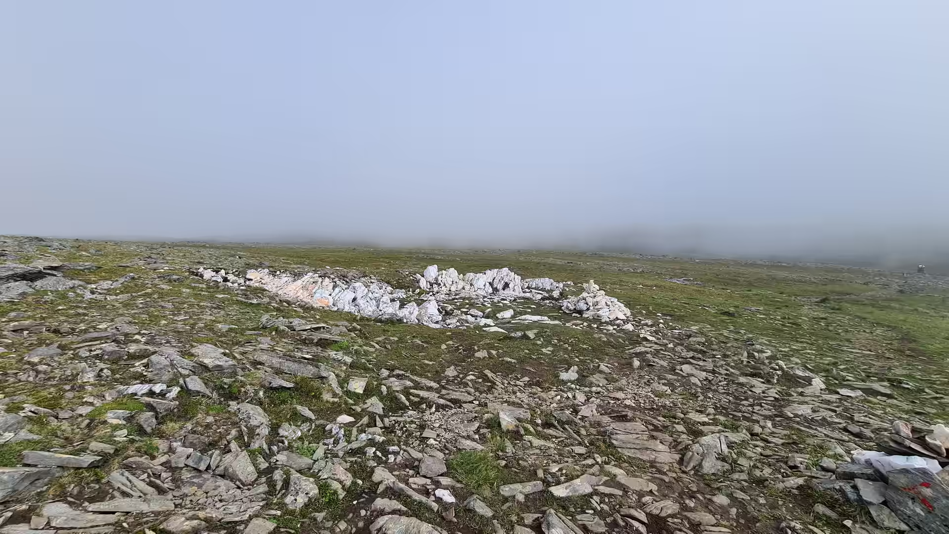
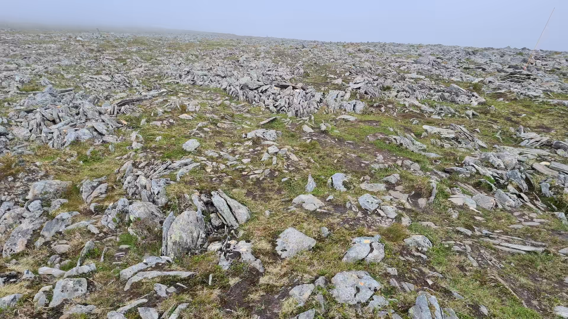
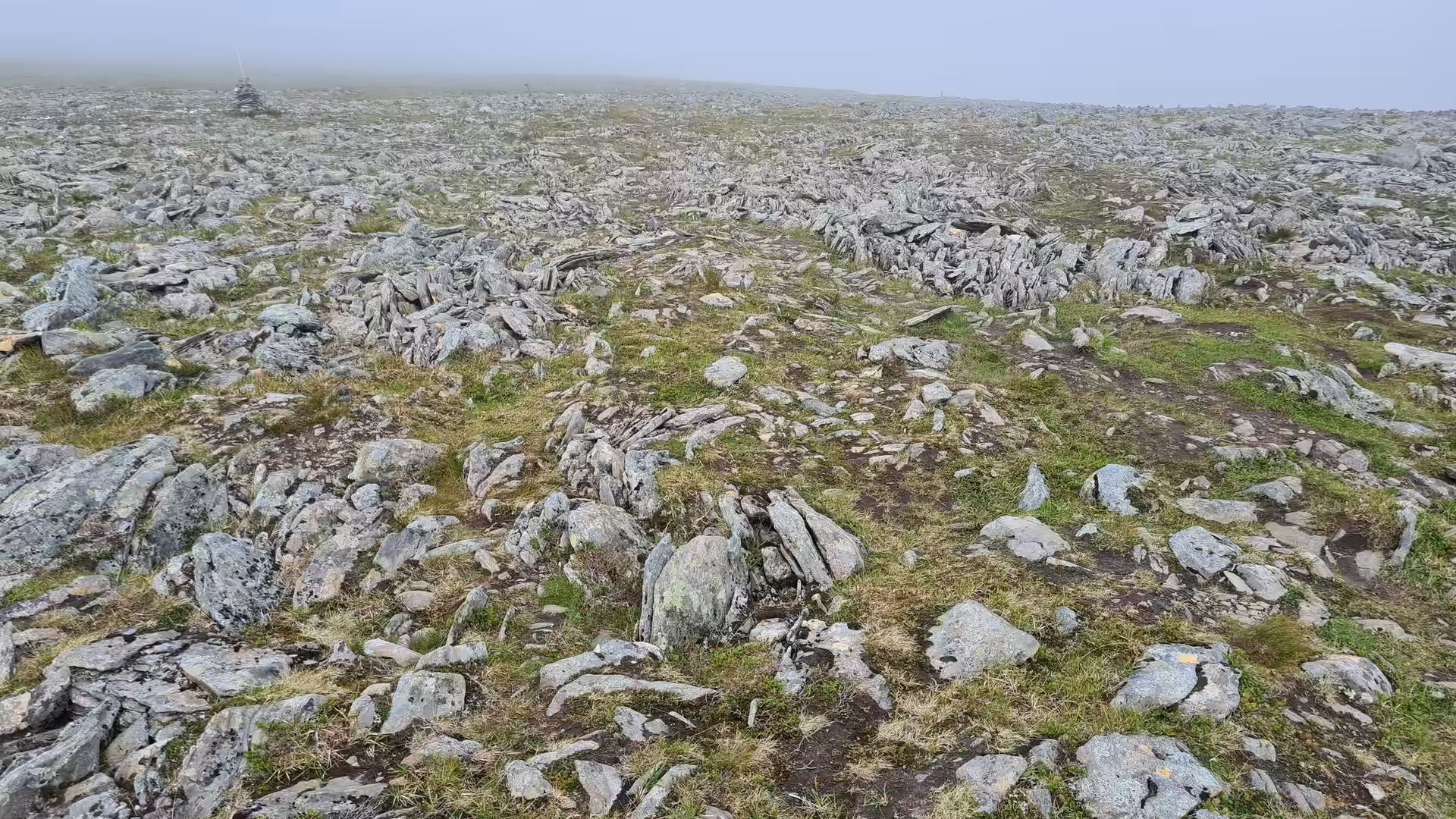
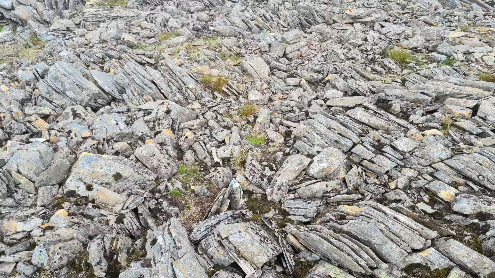
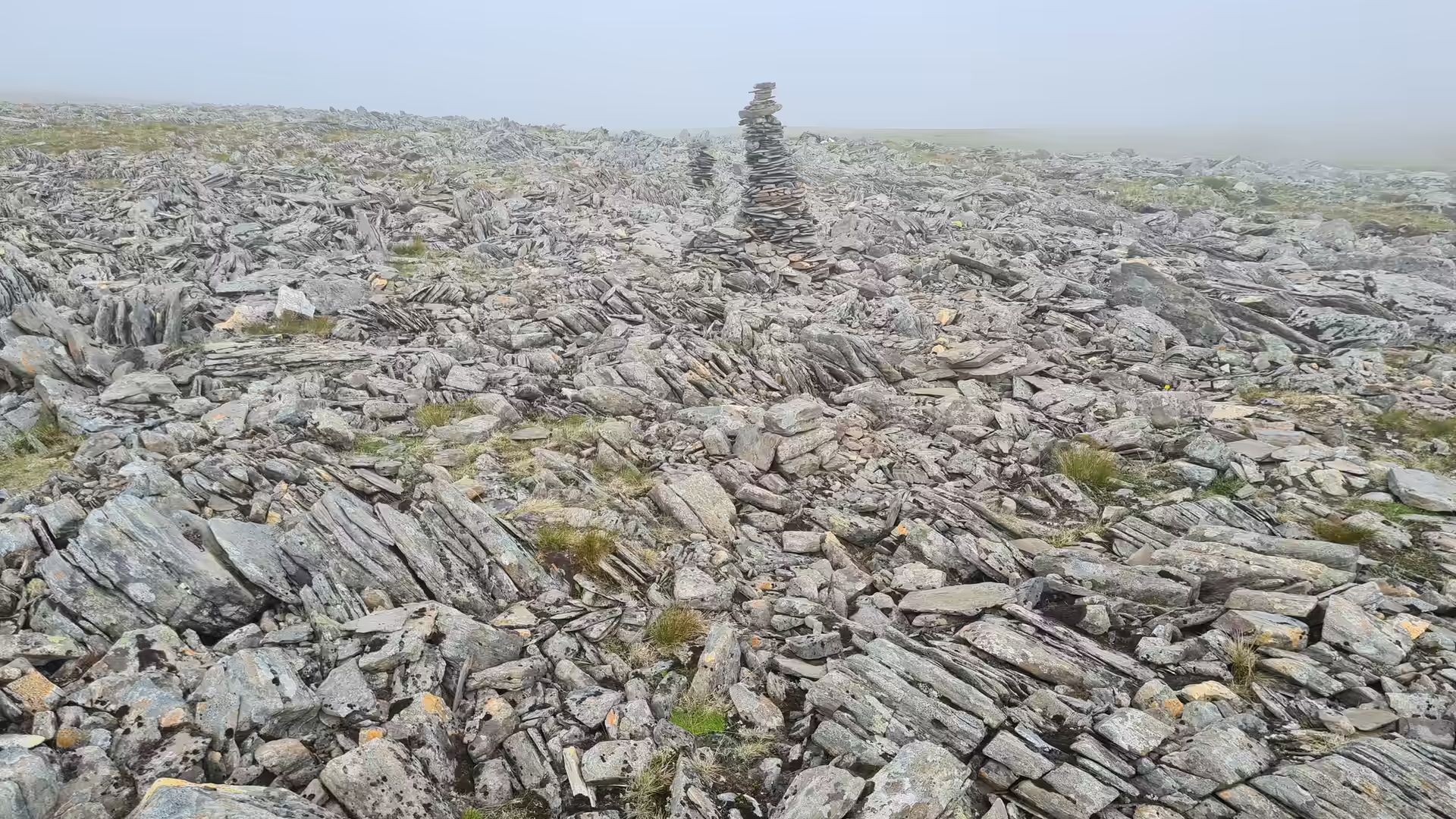
The following morning the road climbed the last few kilometres to the North Cape itself. Fog lay over the plateau, and the walk out towards the cliff edge crossed bare rocky ground, stone cairns with red trail marks and shallow tarns where waterfowl rested. The sea beyond showed only now and then through the mist.
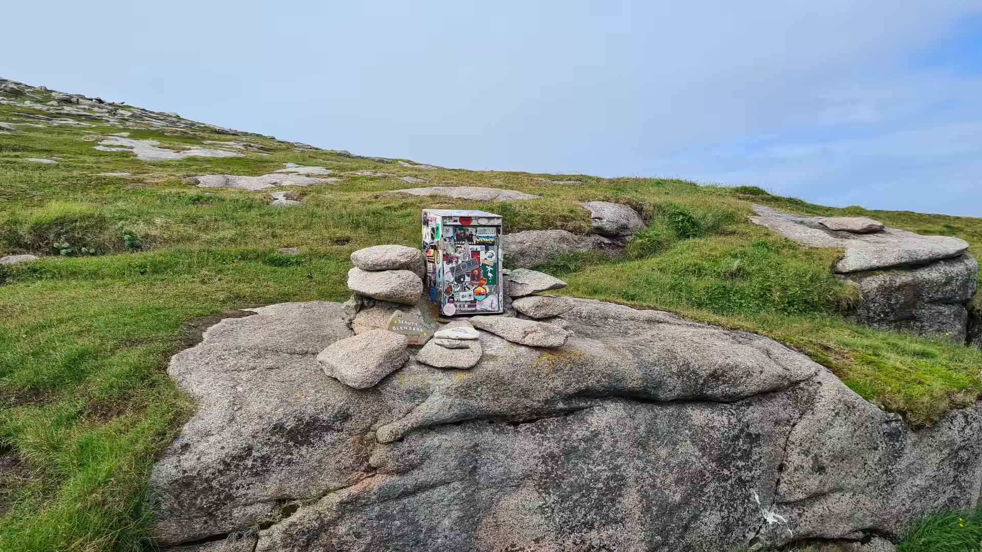
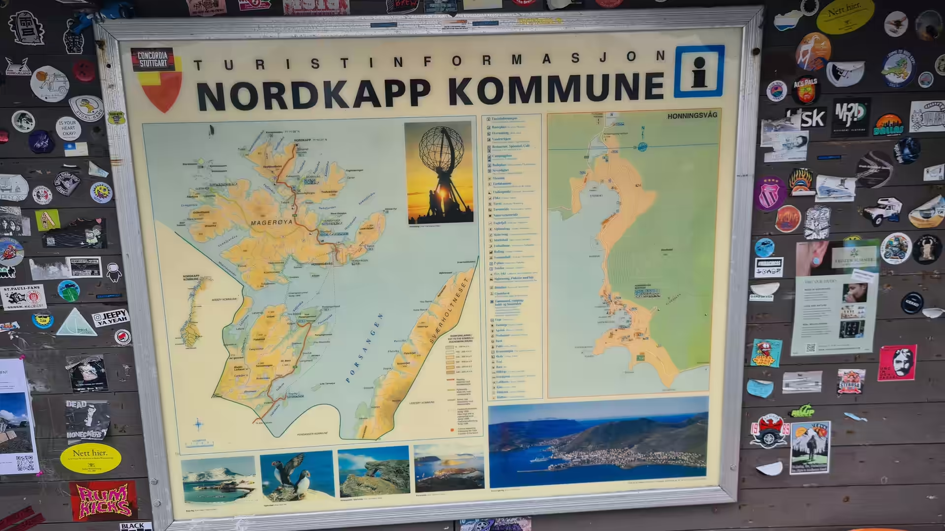
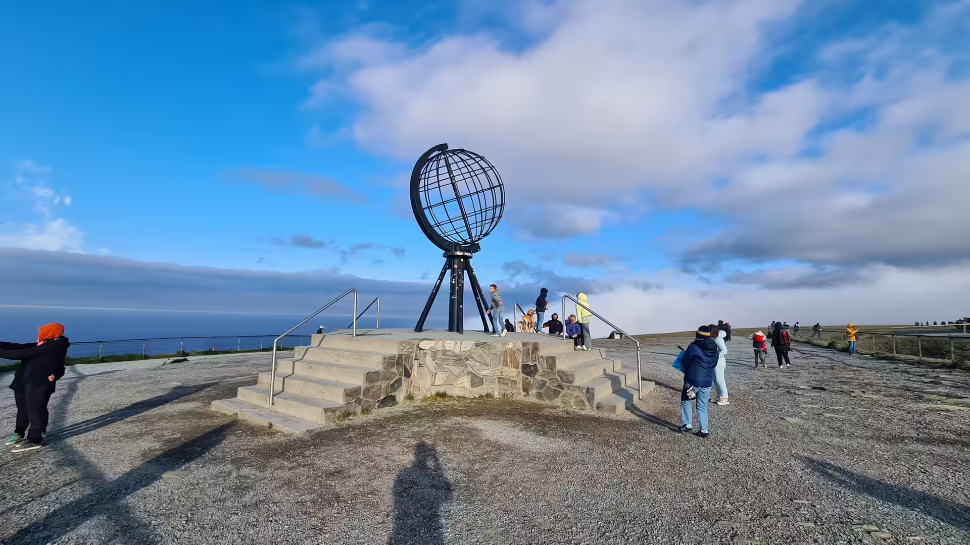
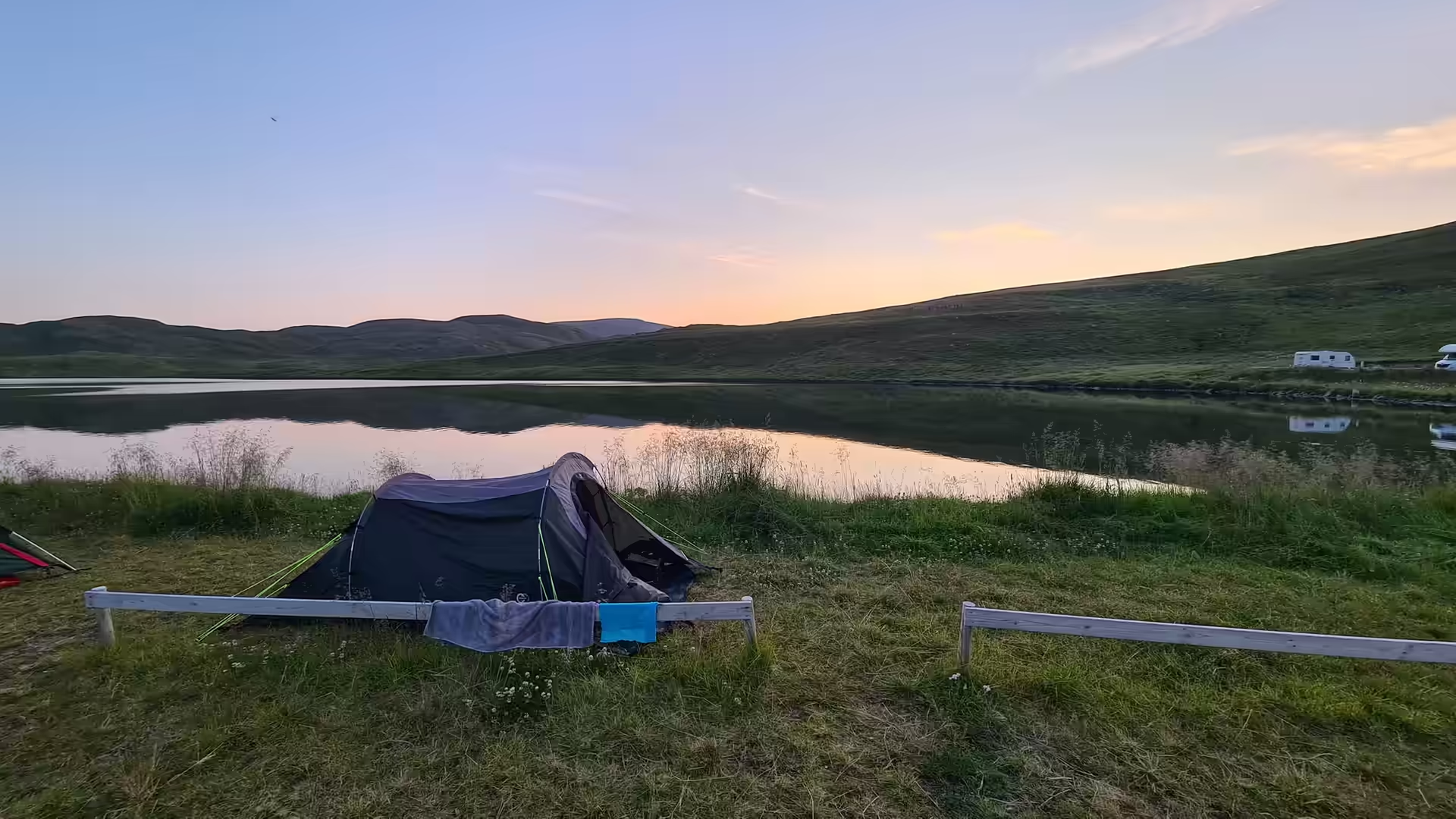
The cape is the end of the road and the top of the continent. The visitor centre on the cliff carries a wall covered with the stickers of the travellers who have reached it, and out on the headland stands the metal globe that marks the northernmost point of Europe. In the evening the cloud lifted, the sun came out over the water, and the tent went up again beside a mirror calm lake.
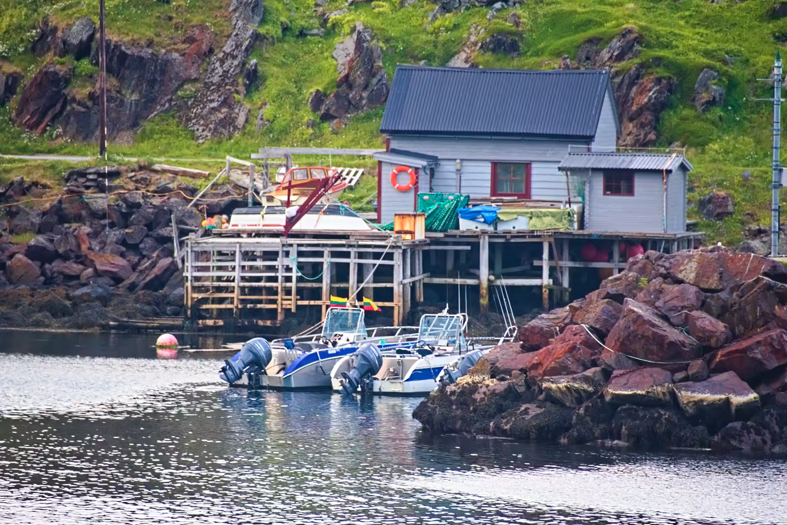
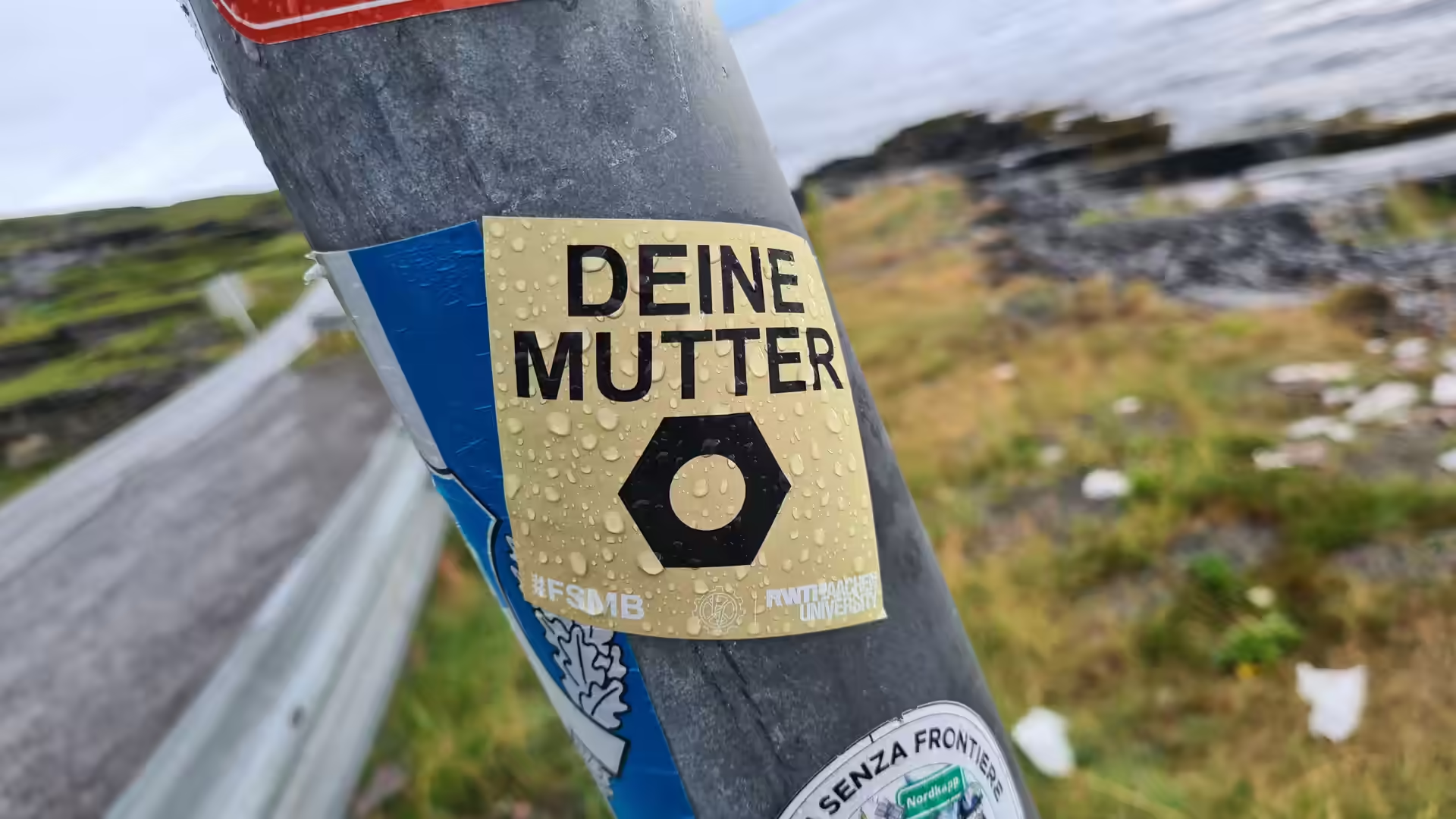
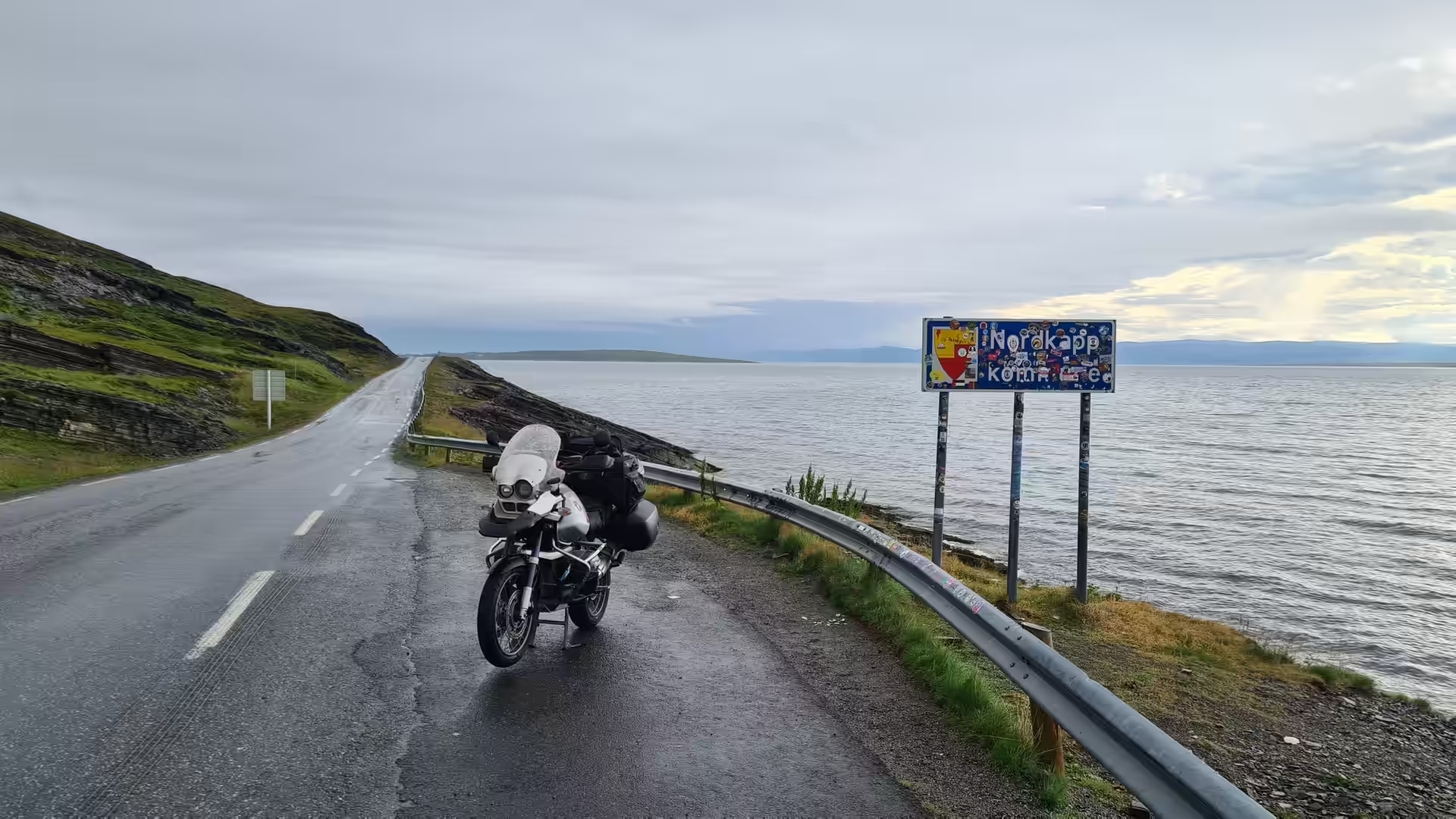
Then the ride turned south again along the Porsangerfjord. Red boathouses on pilings stood at the water’s edge, a weathered post carried the stickers of earlier travellers, and a last sign pointed back to the North Cape before the road ran on into the open country.
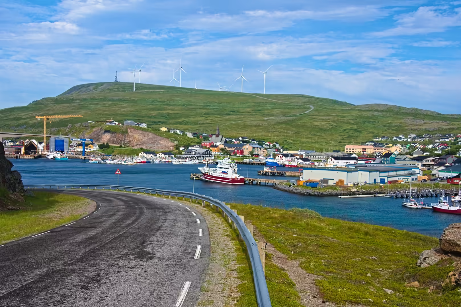
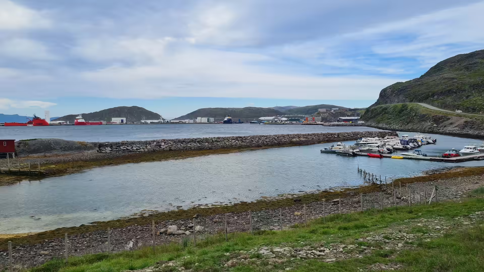
The first real stop of the southern run was Havøysund, a fishing town on an exposed island further down the coast. Seen from the bridge above the harbour, the quay, the warehouses and the moored boats lay below a bare green hill. Beyond the town the road climbed to the wind farm on the ridge, the northernmost in the world.
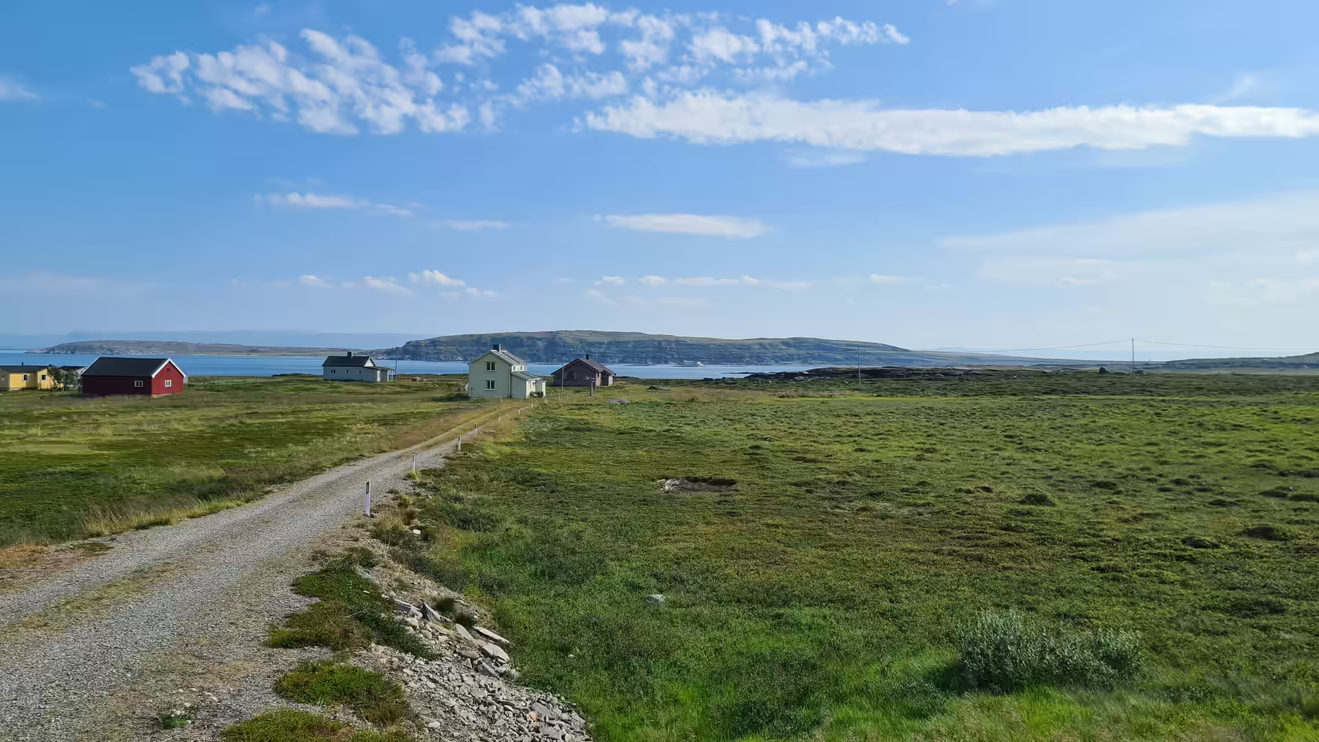
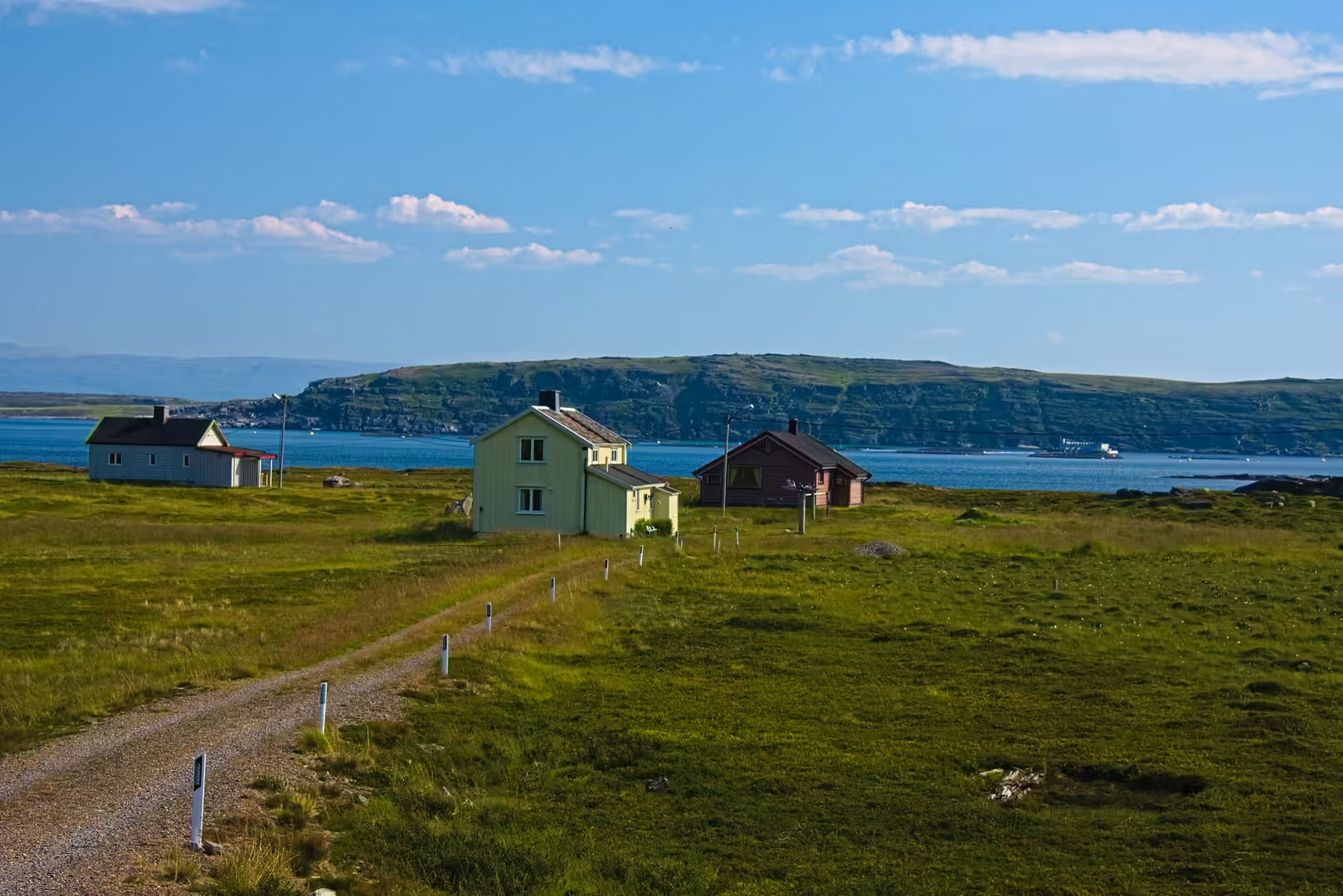
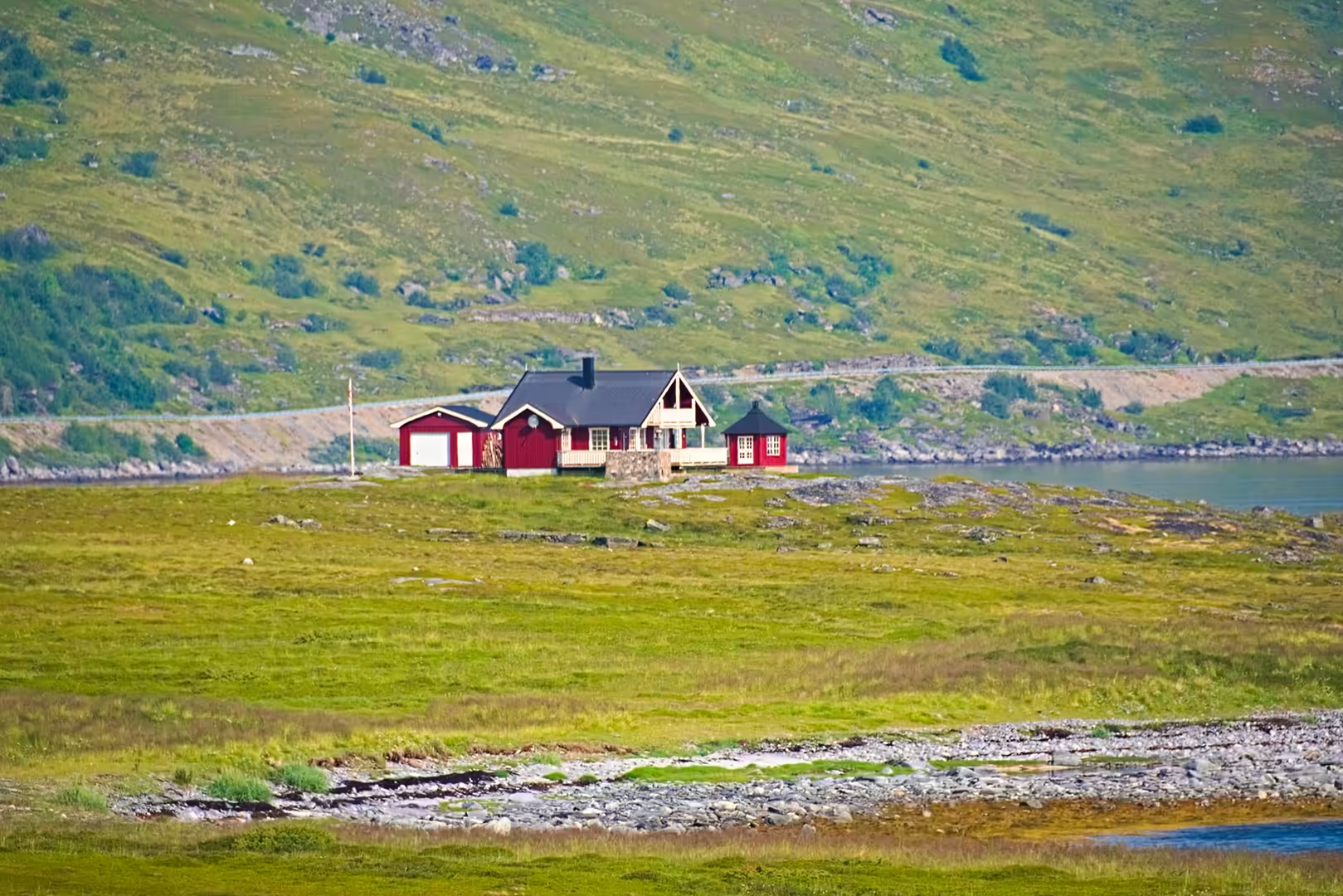
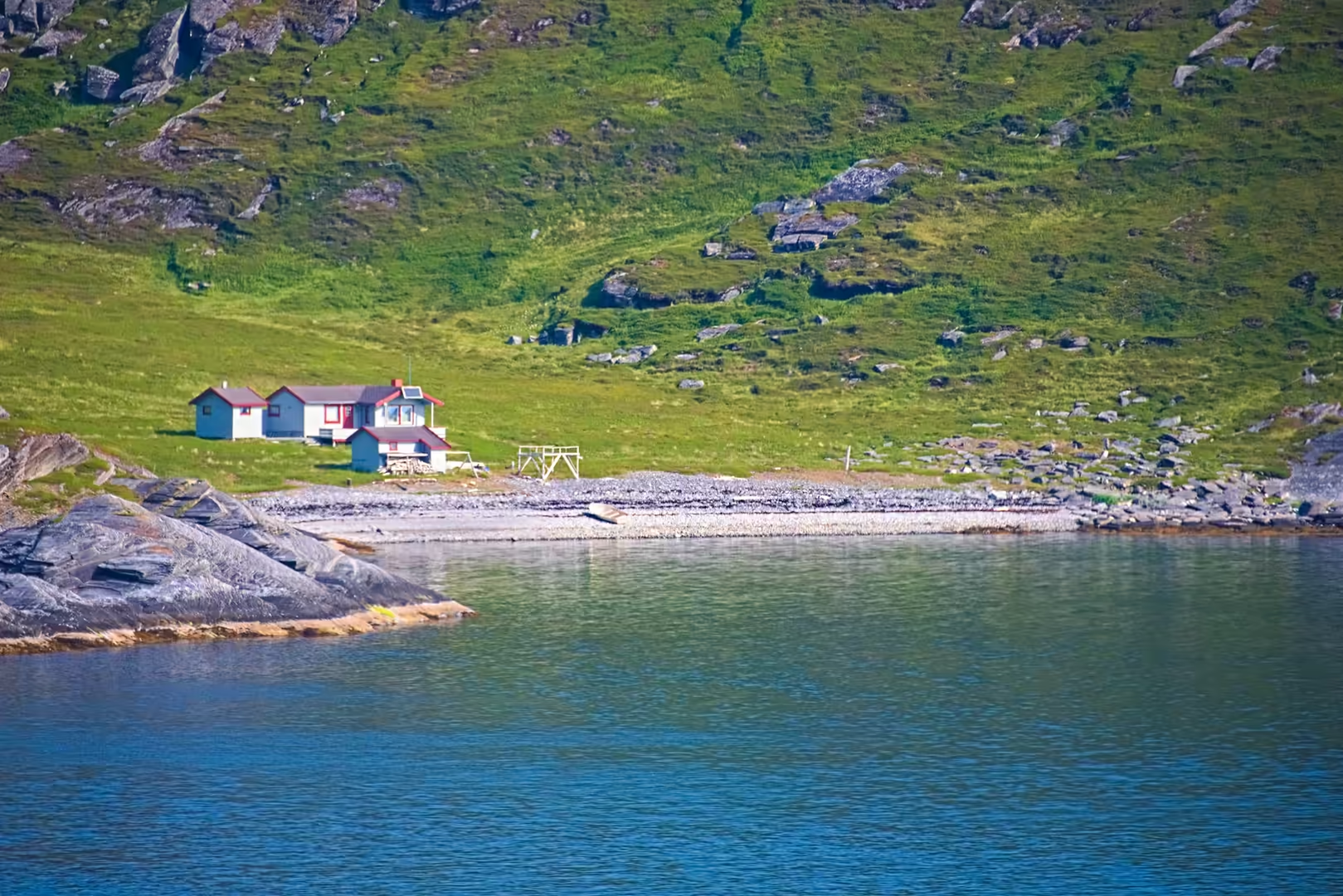
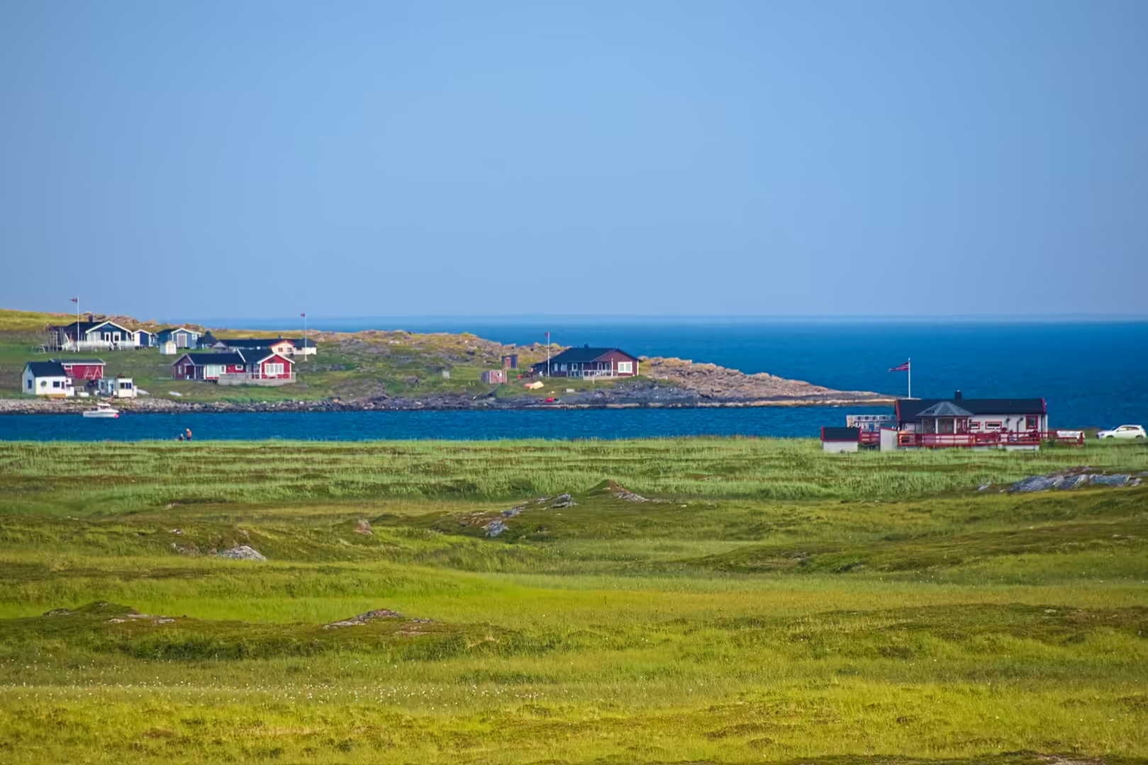
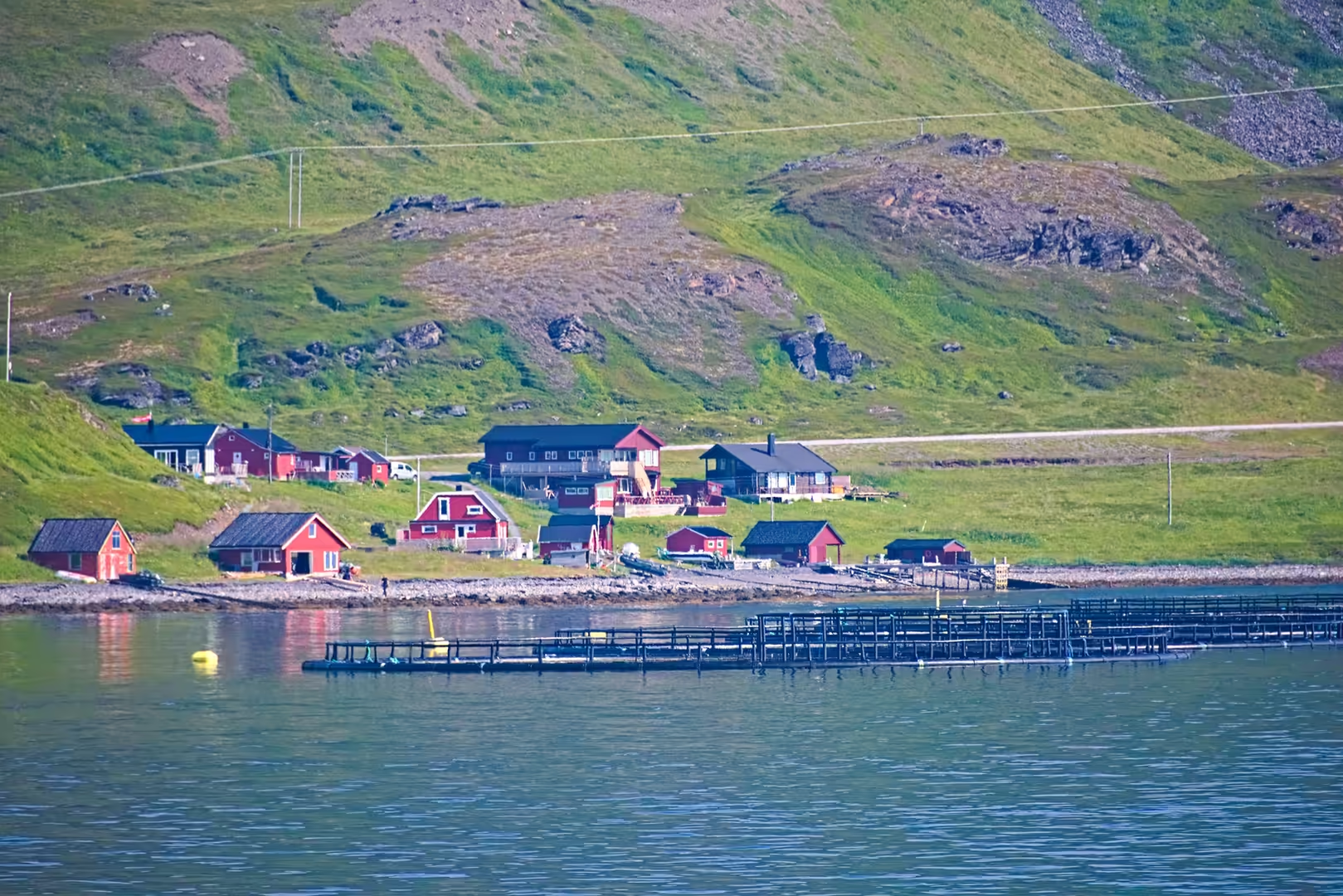
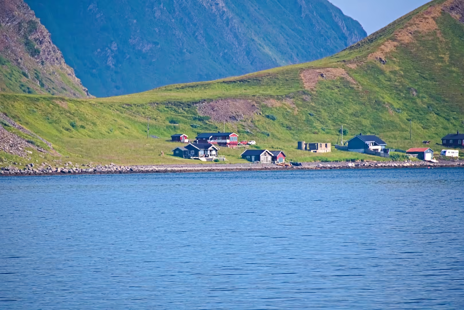
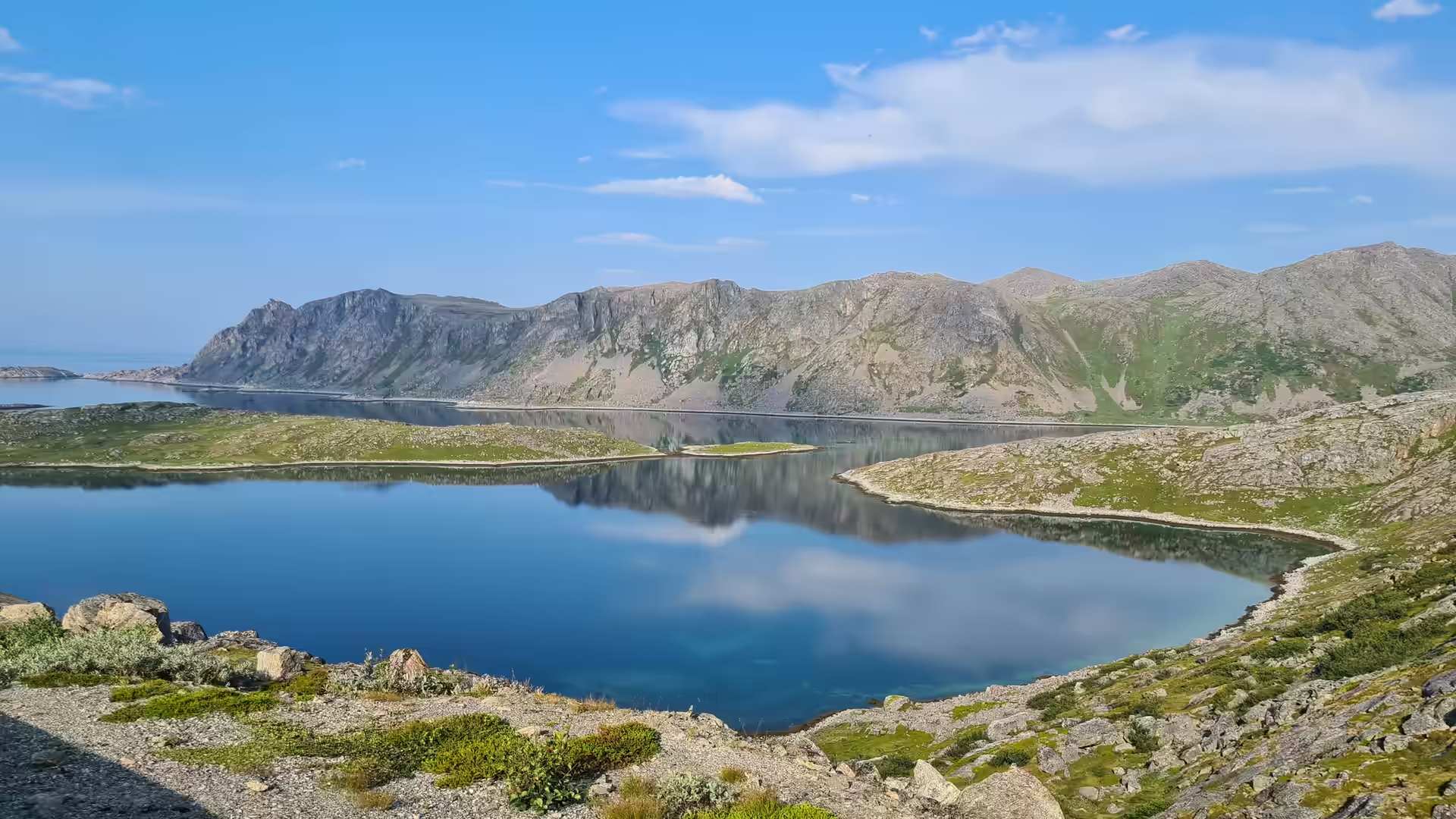
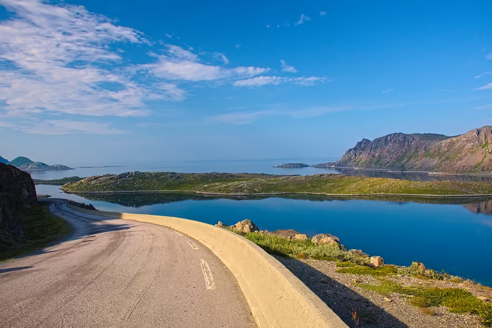
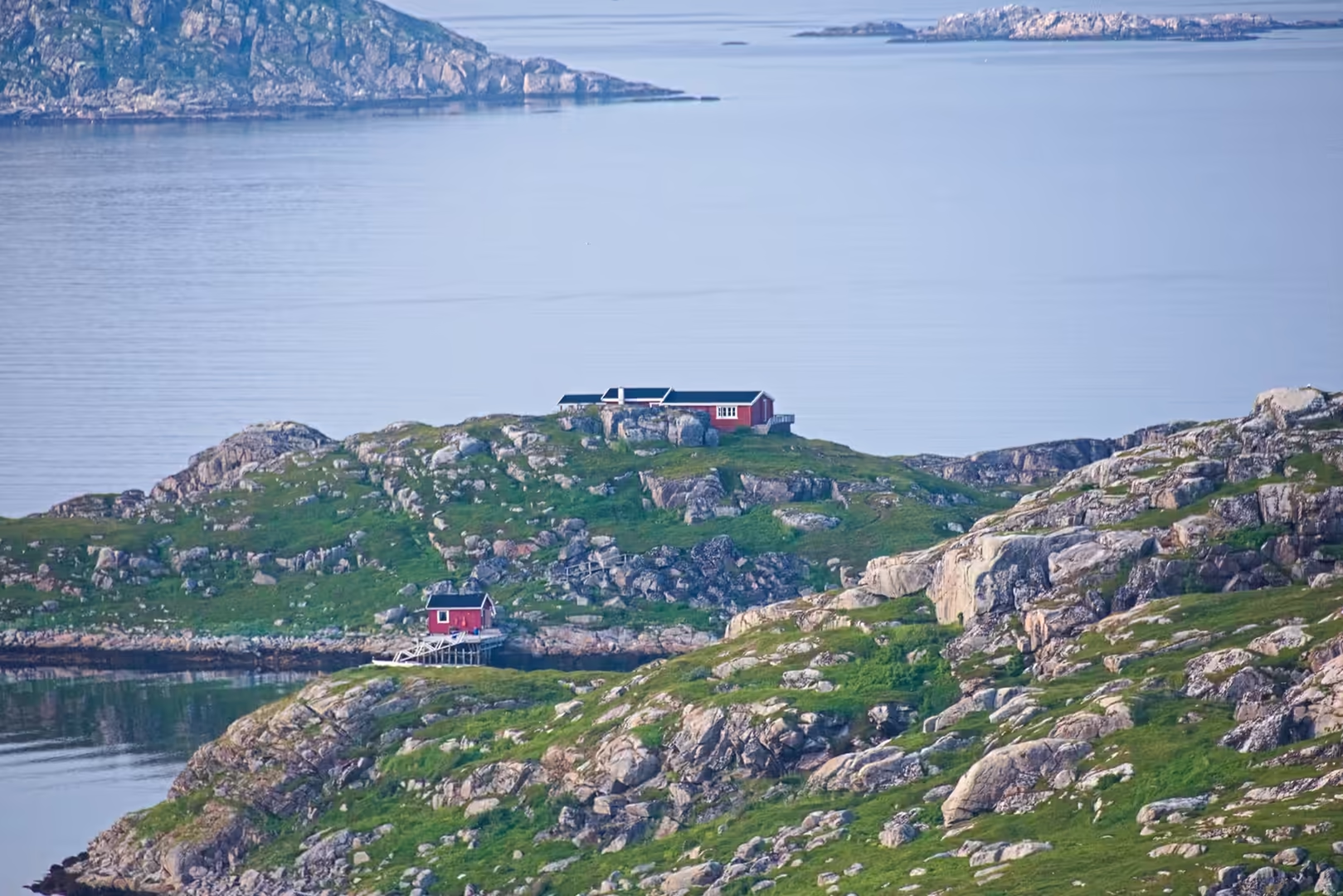
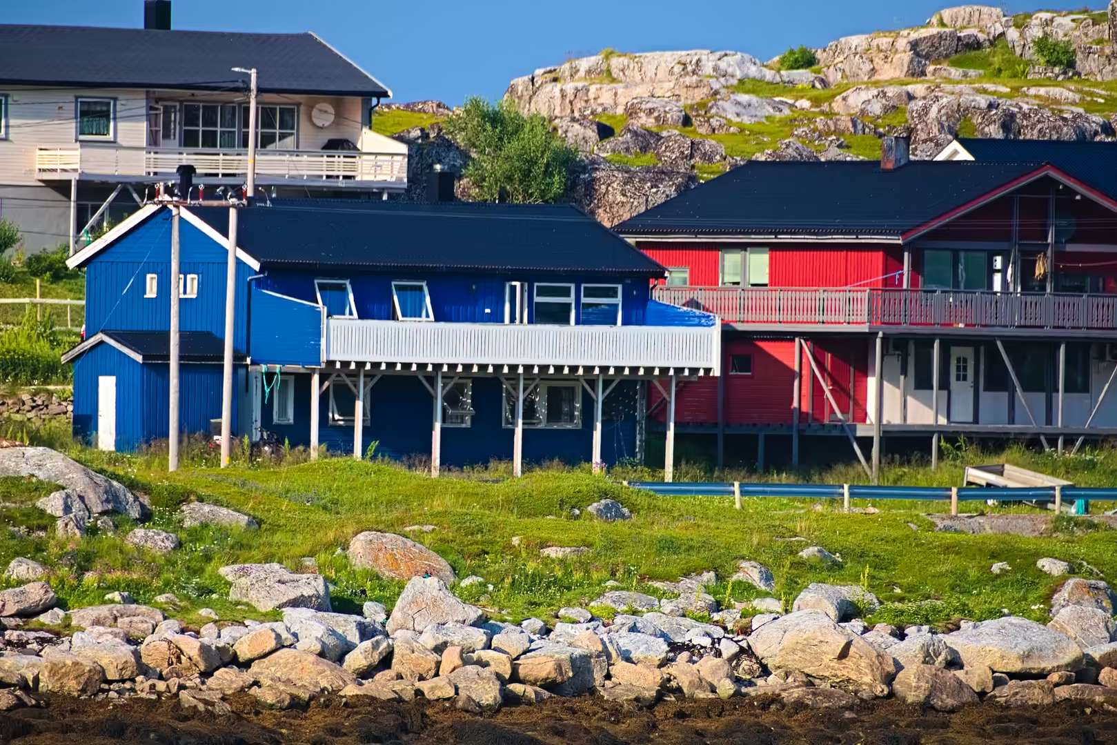
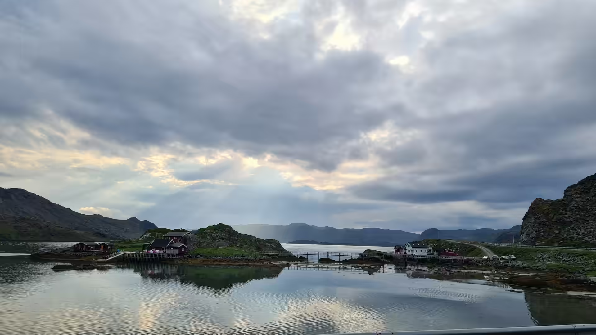
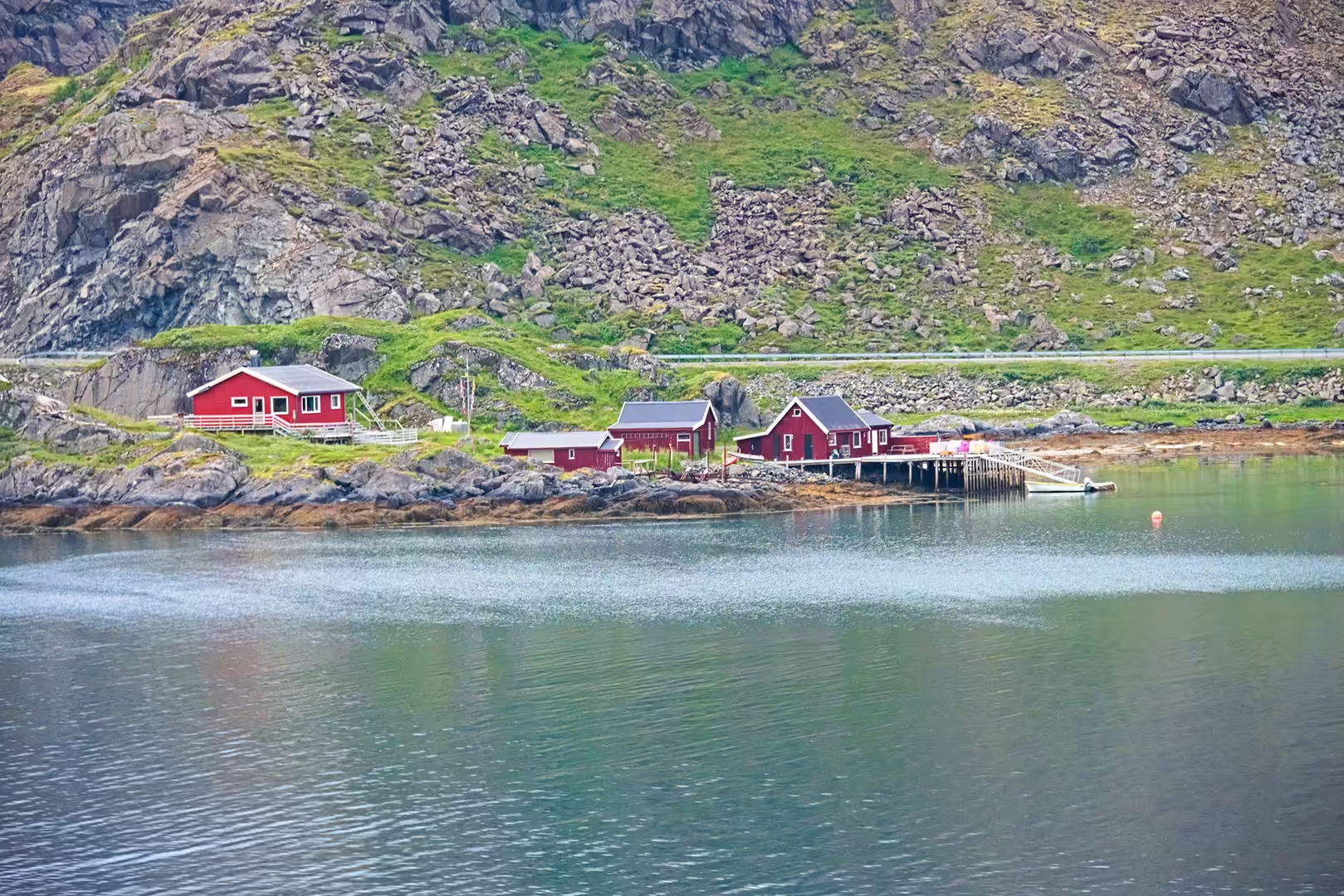
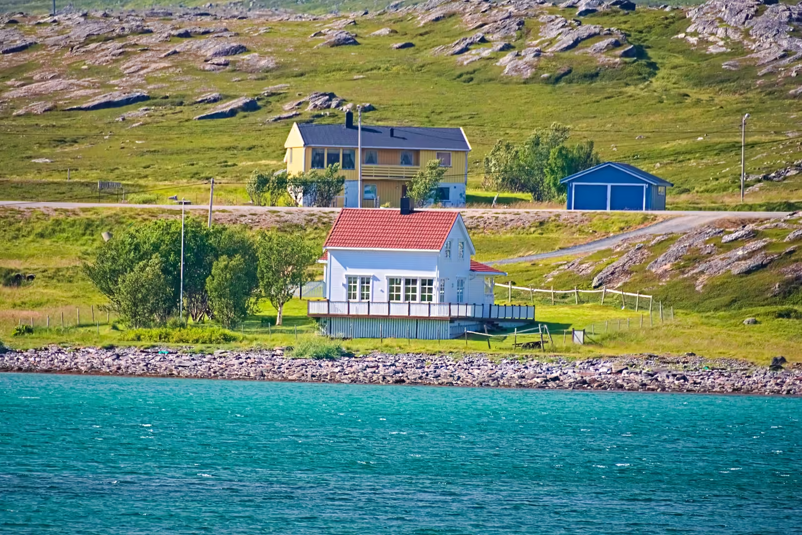
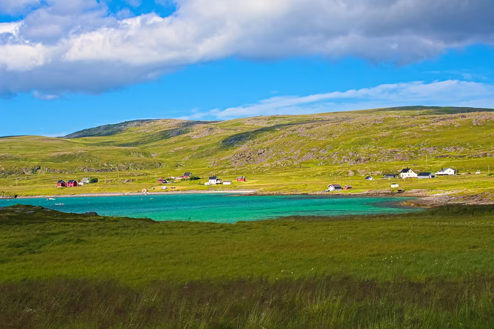
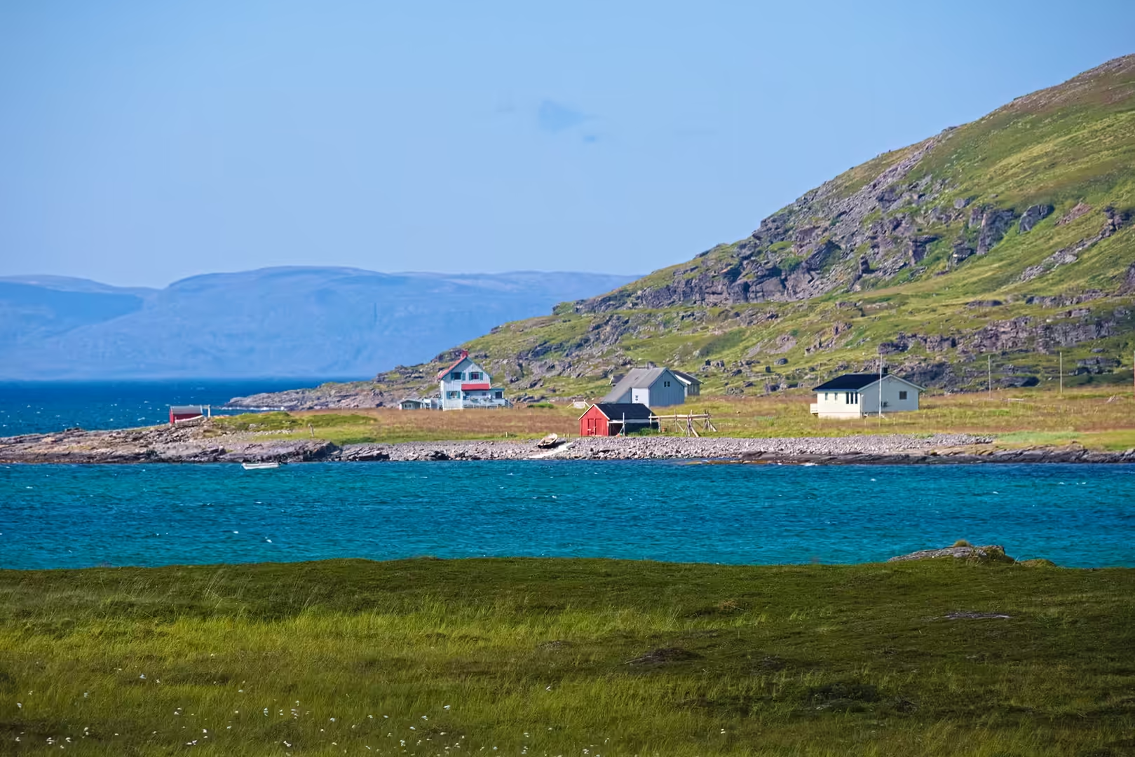
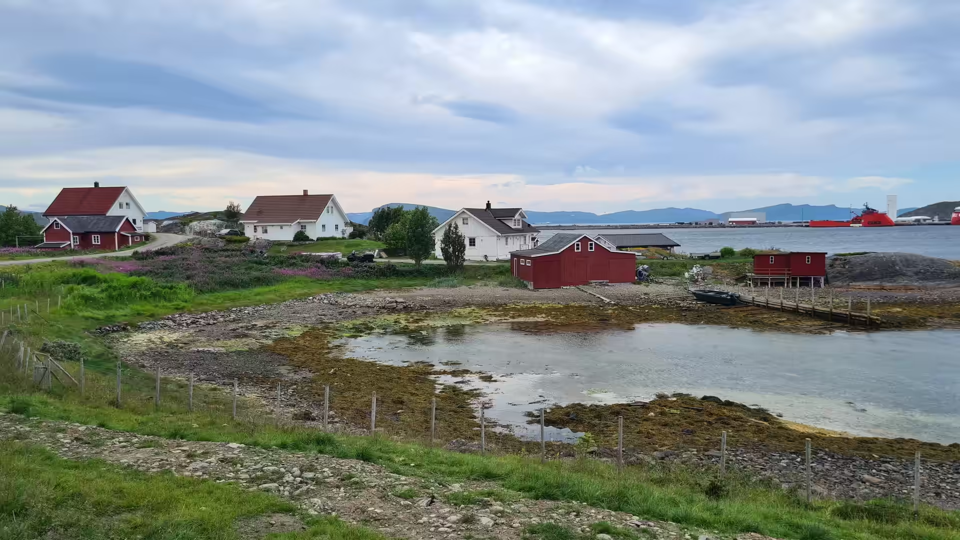
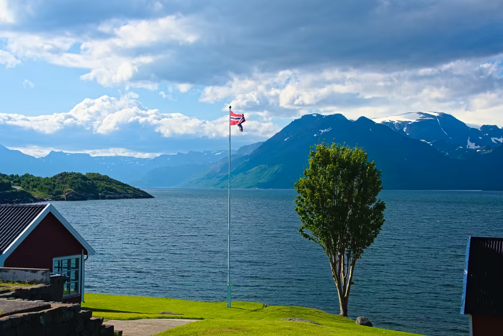
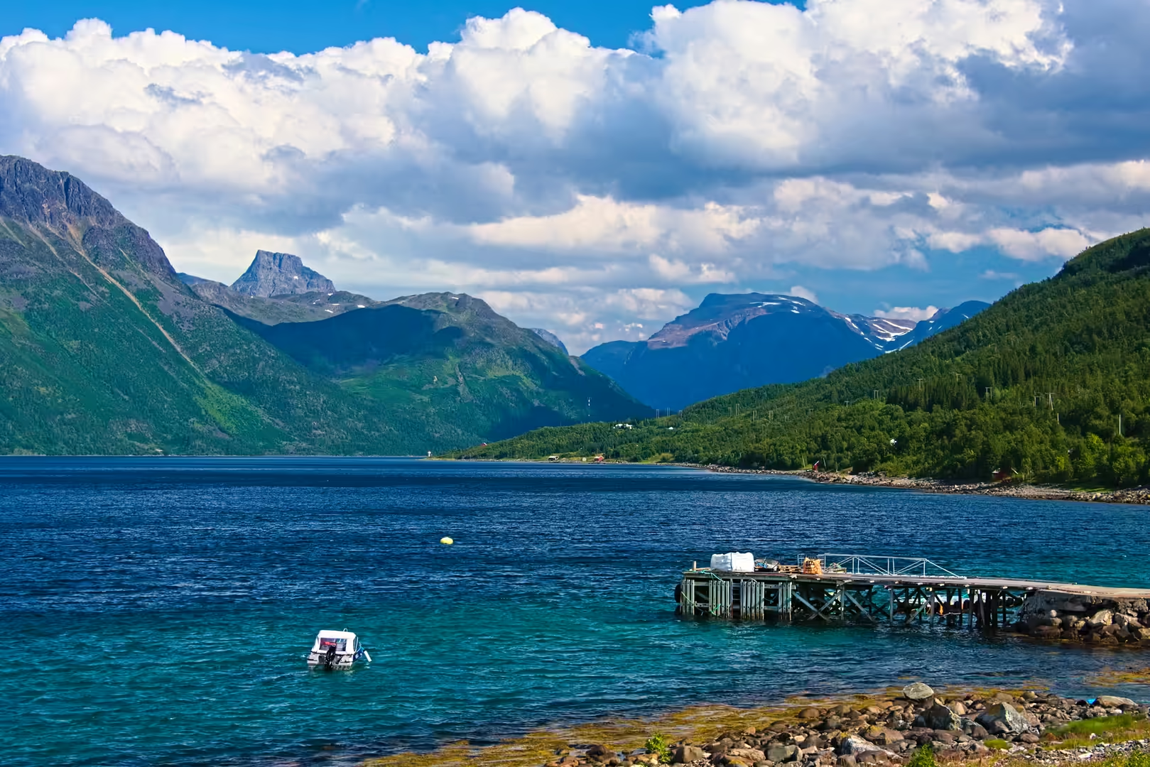
South of Havøysund the road threaded a scatter of small settlements: red stilted houses above turquoise water, wooden piers leading out to boathouses, a white timber church on a rocky hillside and fish pens floating in the bays. Mountains rose straight from the sea on every side, and the water in the narrow sounds was a deep, cold blue.
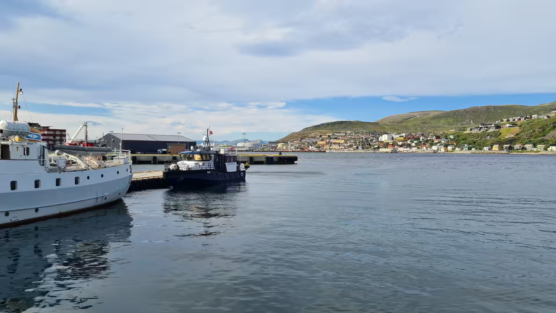
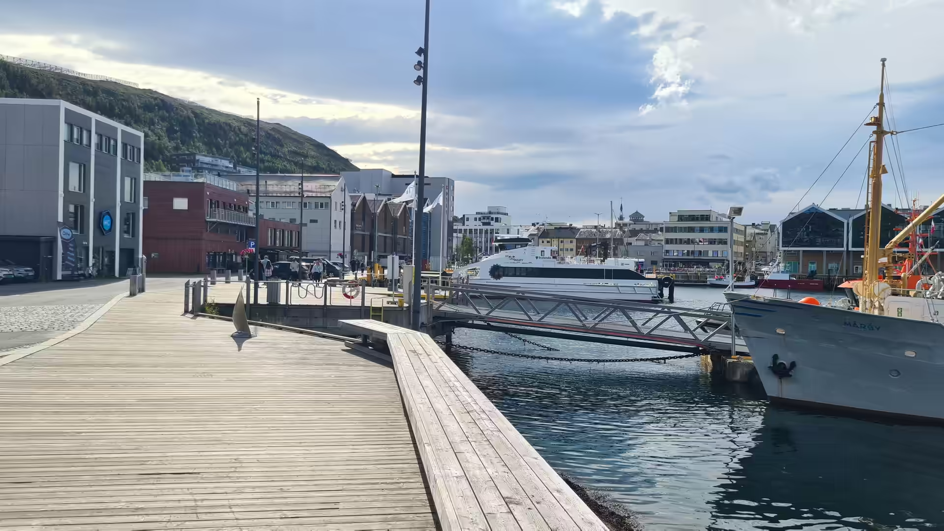
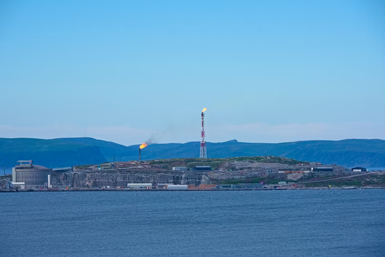
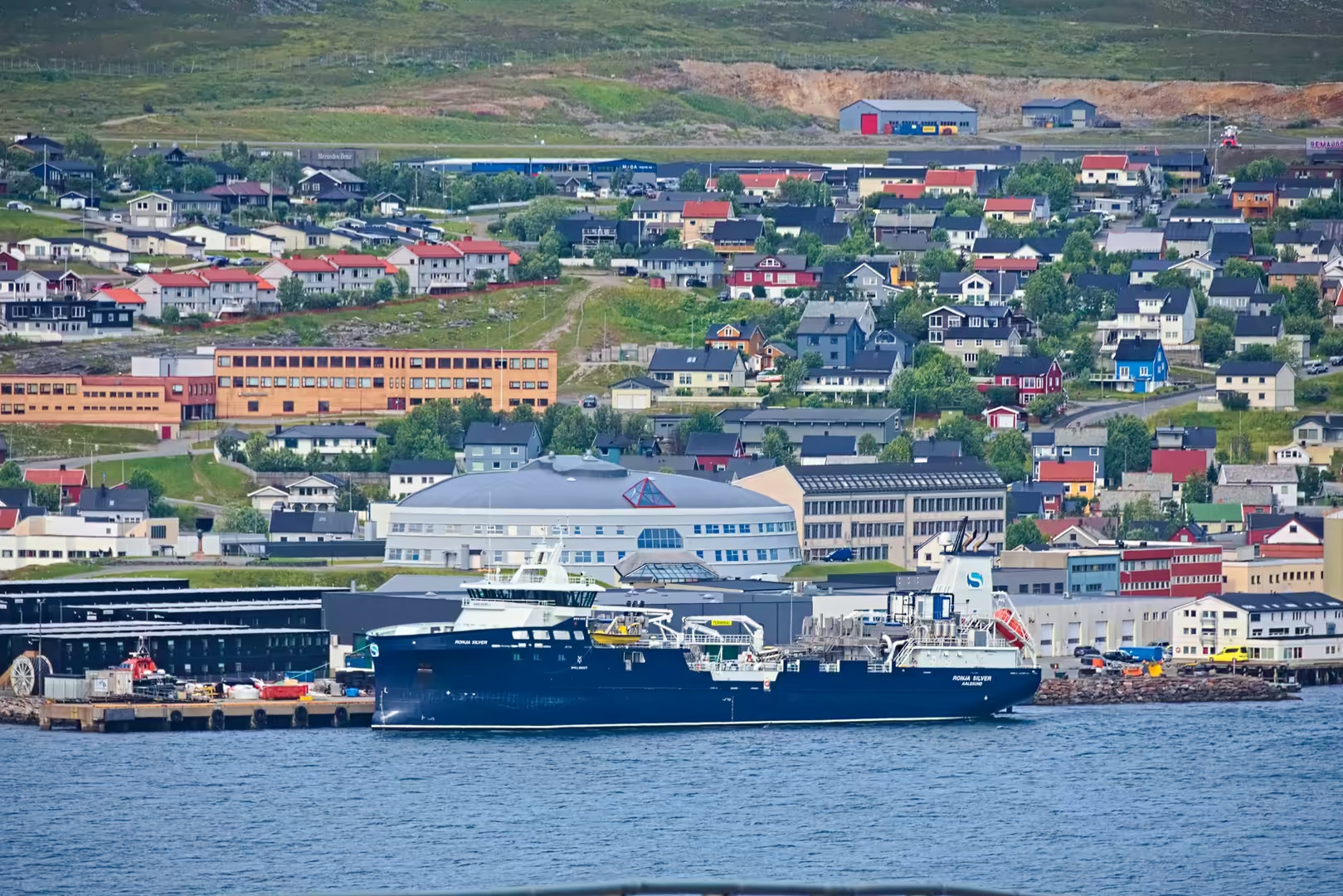
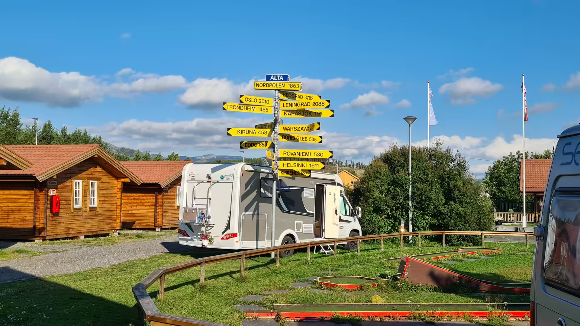
At Hammerfest the stage reached the largest town of the north. The harbour held ferries and fishing boats, a waterfront promenade ran along the quay and the streets climbed the hill behind. Across the water on the island of Melkøya stood the gas plant with its great storage tank and its flare, the landfall of the pipeline from the Snøhvit field. The day ended at Alta on the broad salmon river of the same name, with the tent pitched on gravel beside the water.
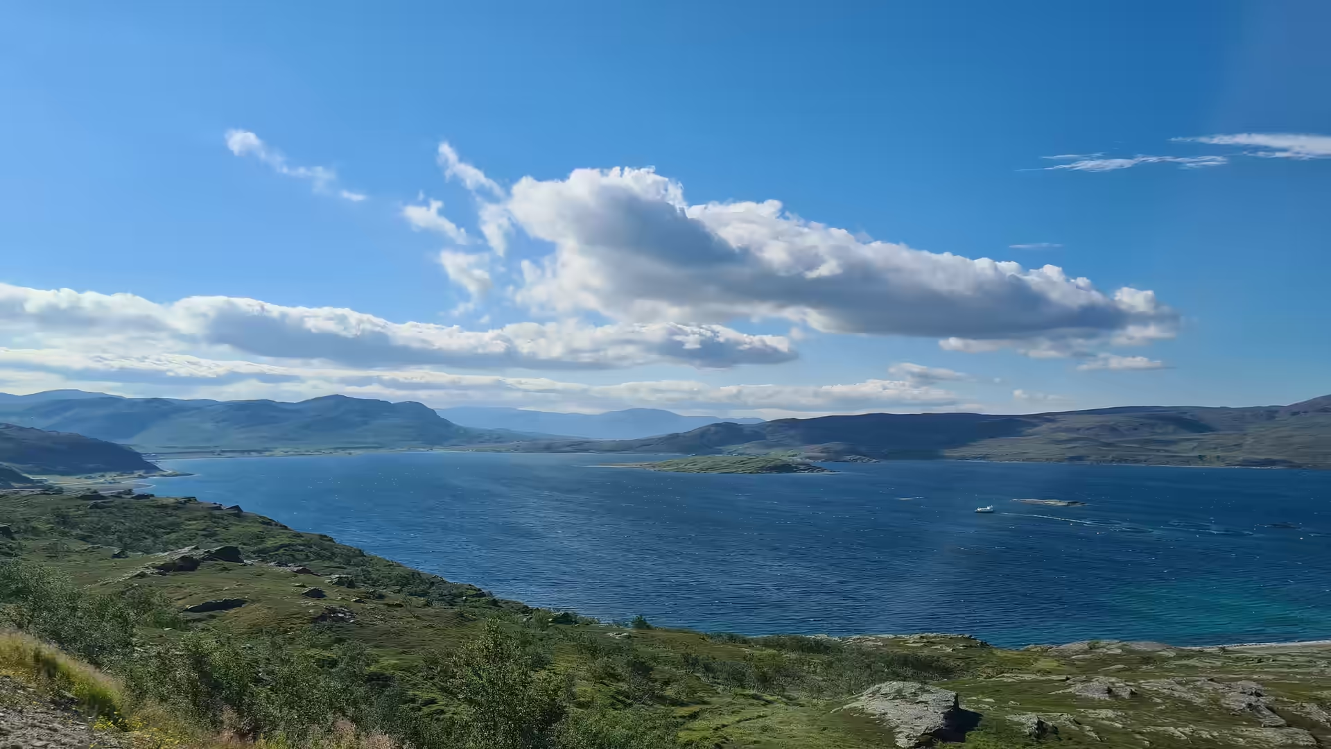
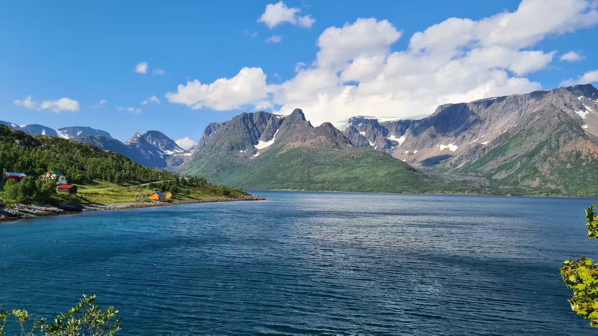
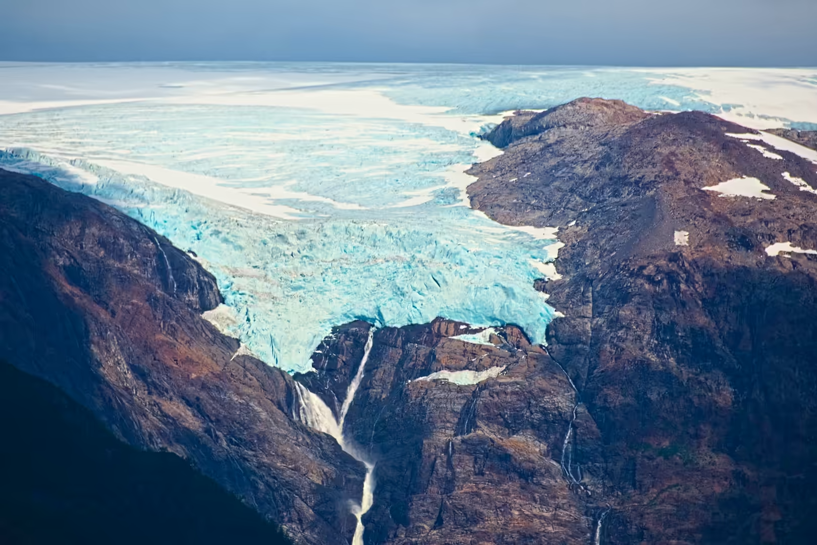
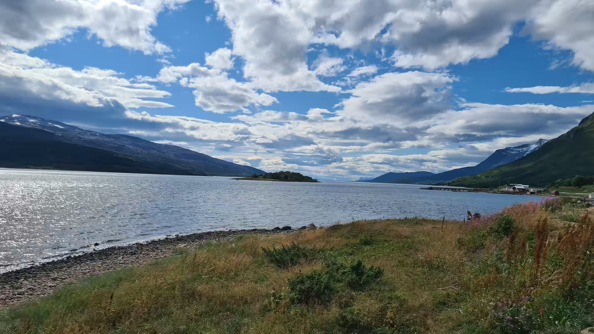
The next stage turned west towards the Lyngen coast. At Øksfjord the road met the water again, with snow still lying on the peaks across the sound and a long blue fjord opening to the sea. Further on the route passed below the Jøkelfjord glacier, whose crevassed ice falls above dark rock down towards the fjord.
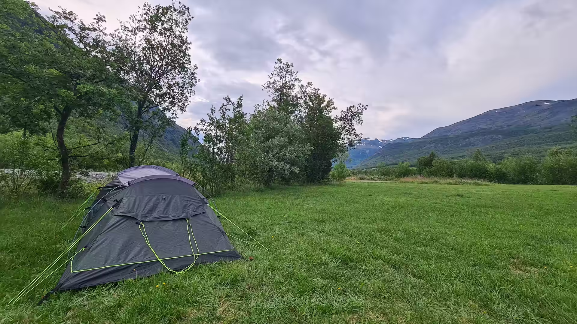
Beyond Øksfjord the road crossed to Skjervøy and then turned inland into the mountains. The evening camp stood in a green valley at Birtavarre in the Kåfjord, the tent pitched on grass with the peaks rising on both sides, and in the morning reindeer stood beside the road again.
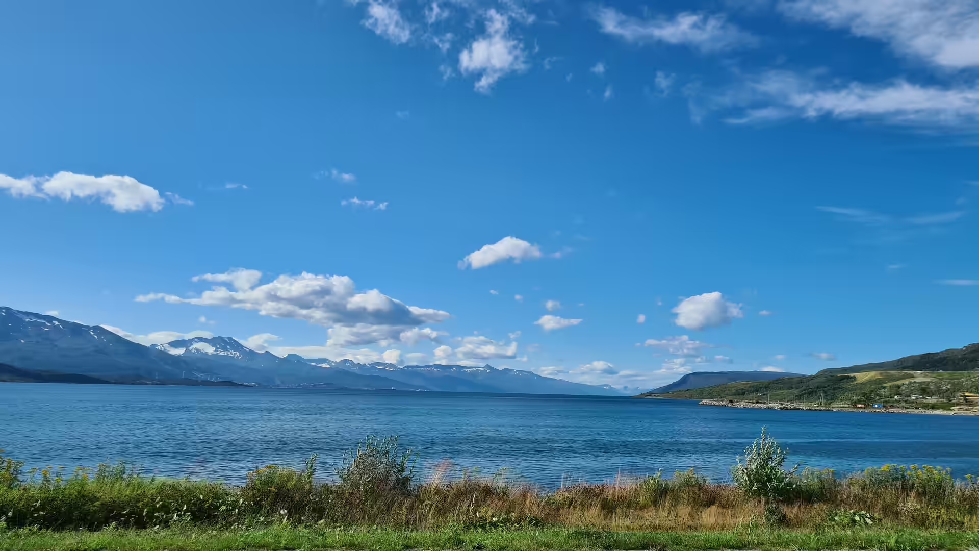
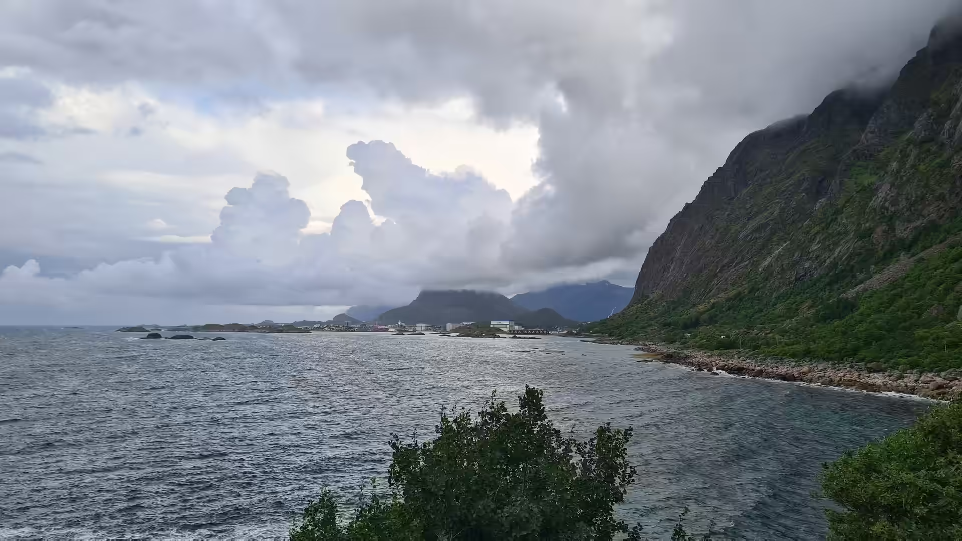
The ride south followed the wide Ofotfjord towards Narvik. At Bjerkvik, where the mountains come down to the water, snow still lay on the peaks, and further on the road crossed the Tjeldsund bridge on its way out to the islands.
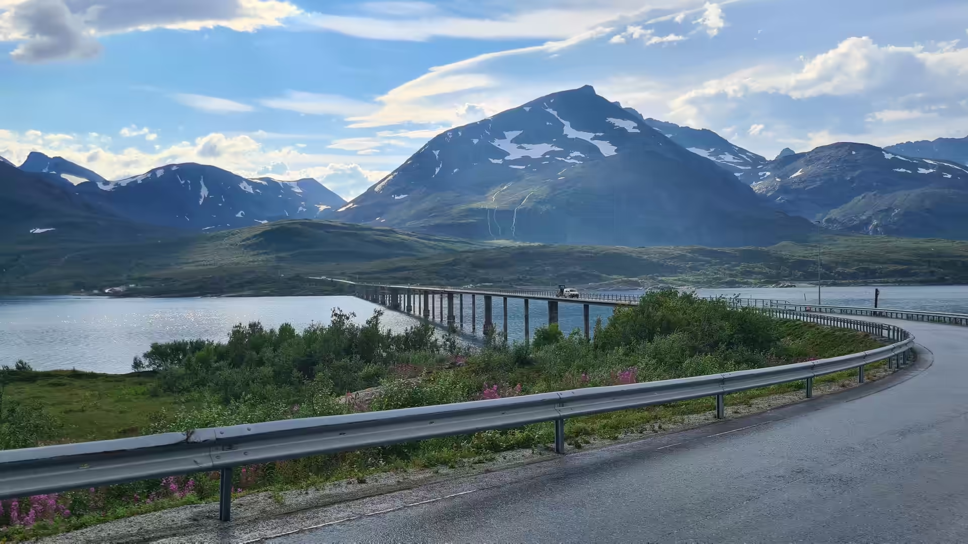
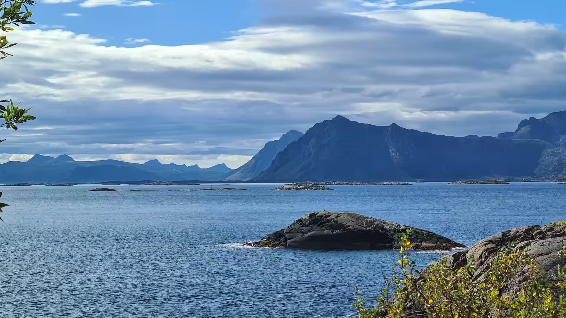
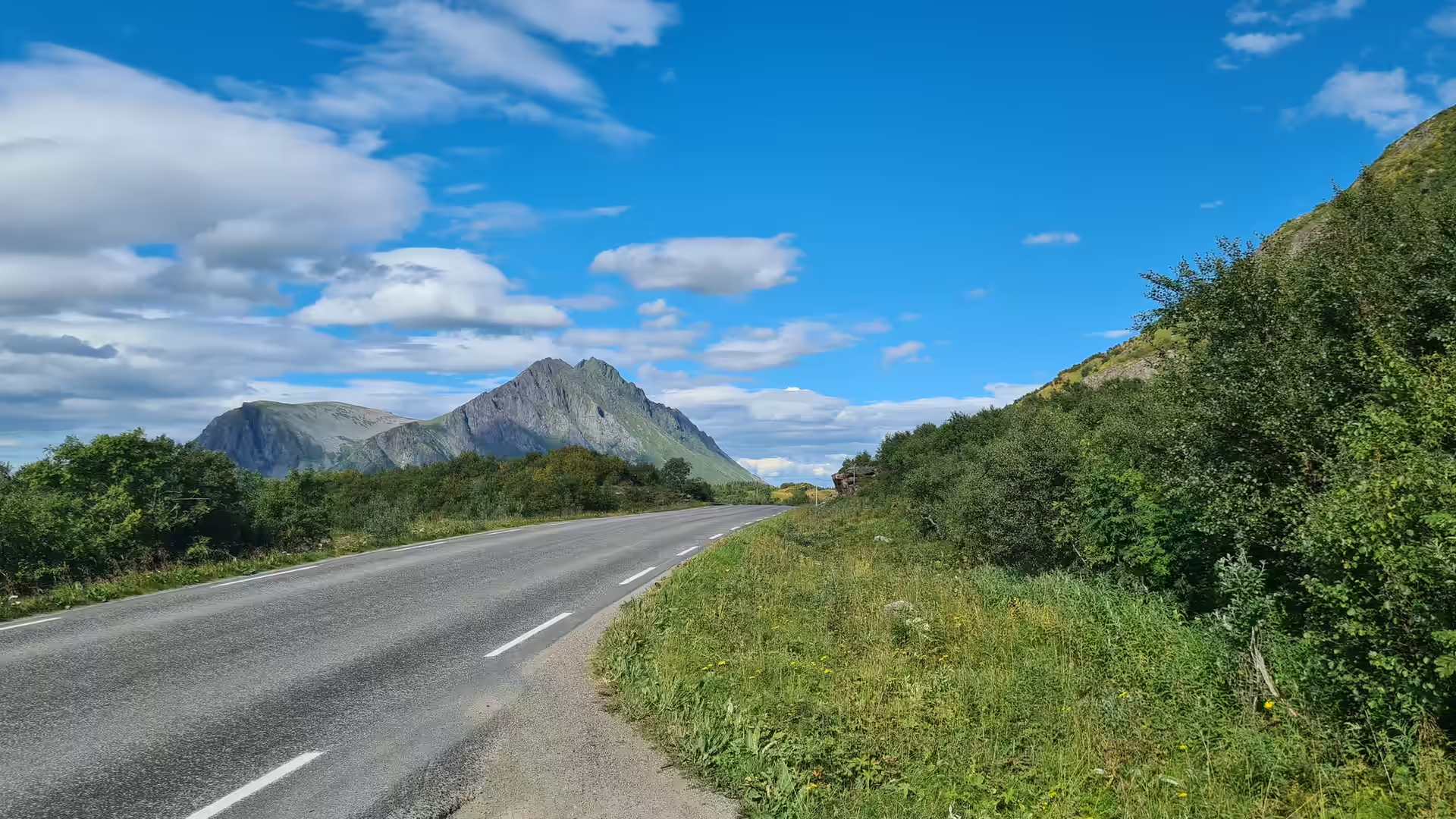
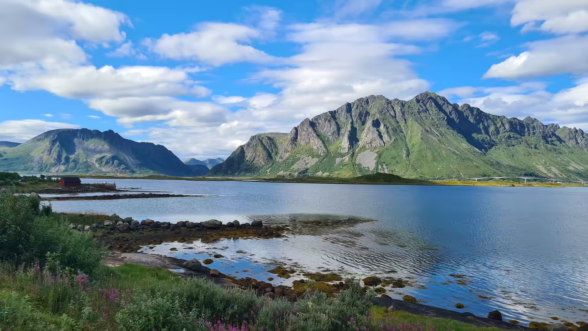
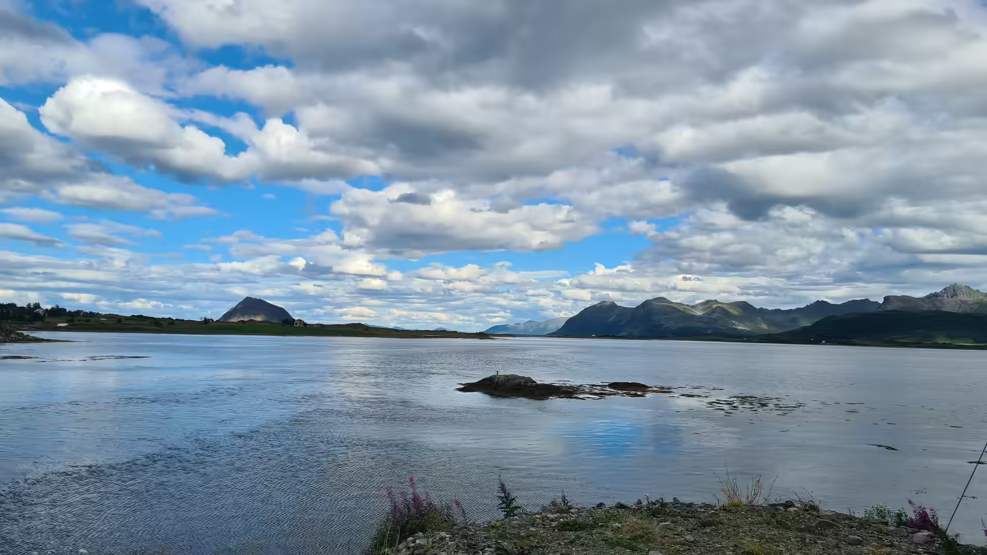
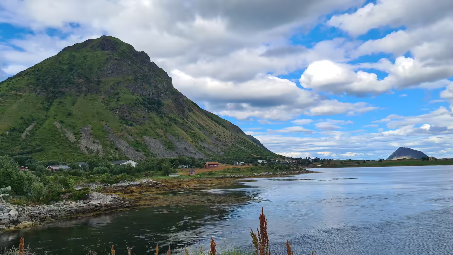
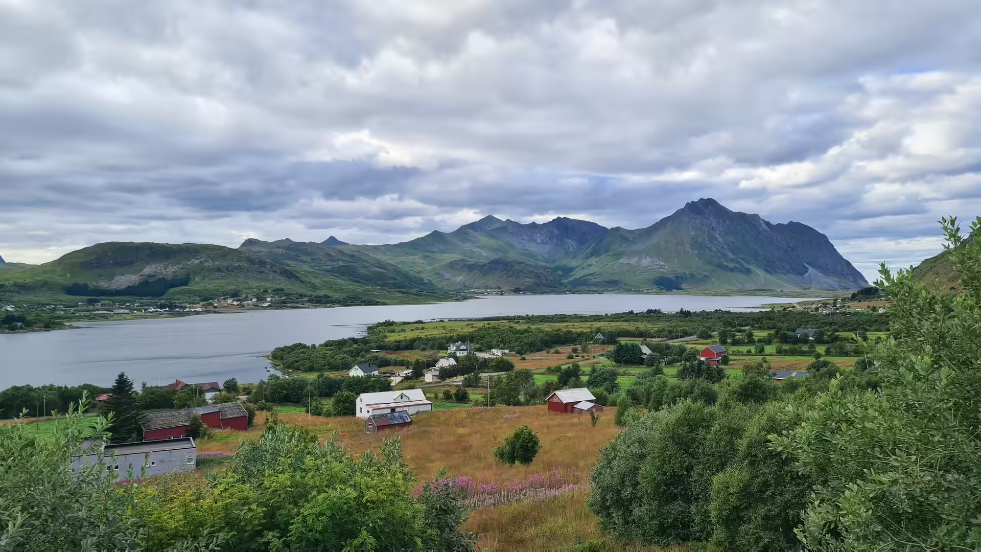
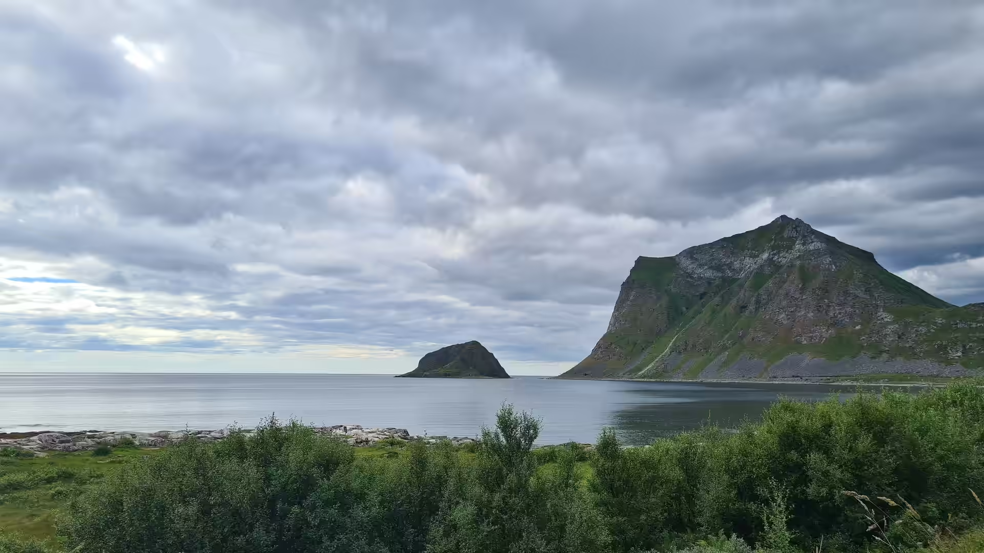
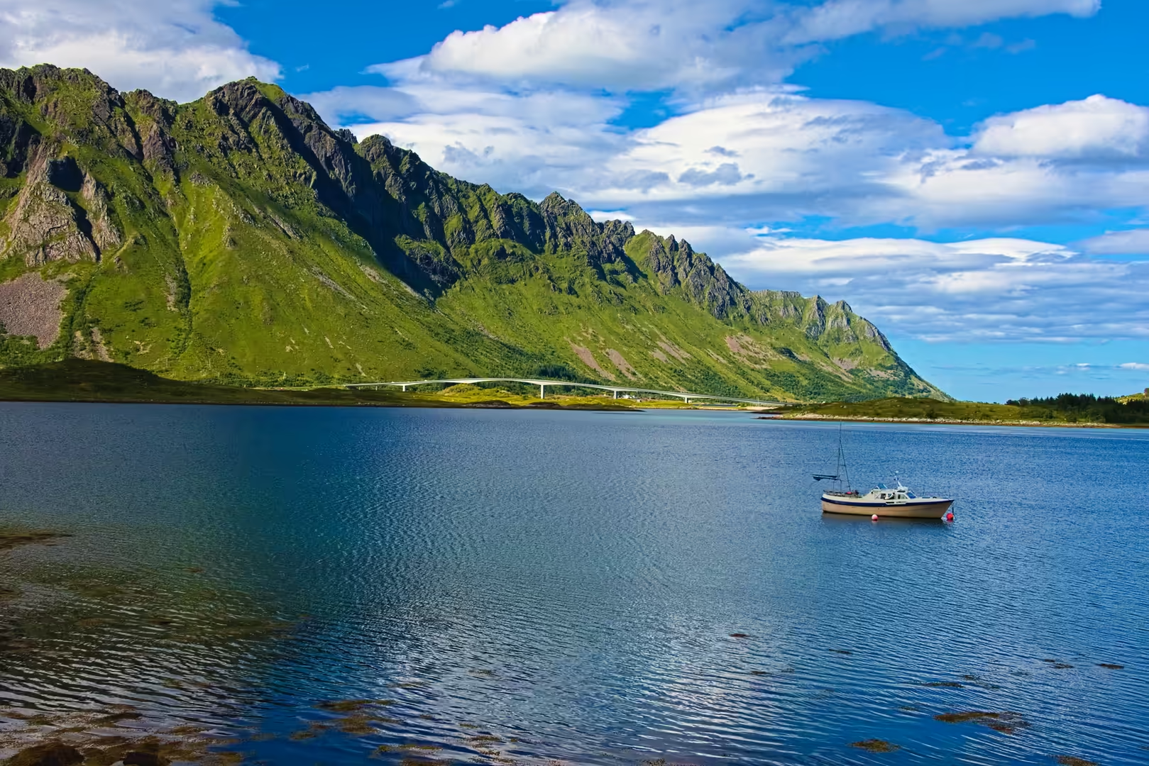
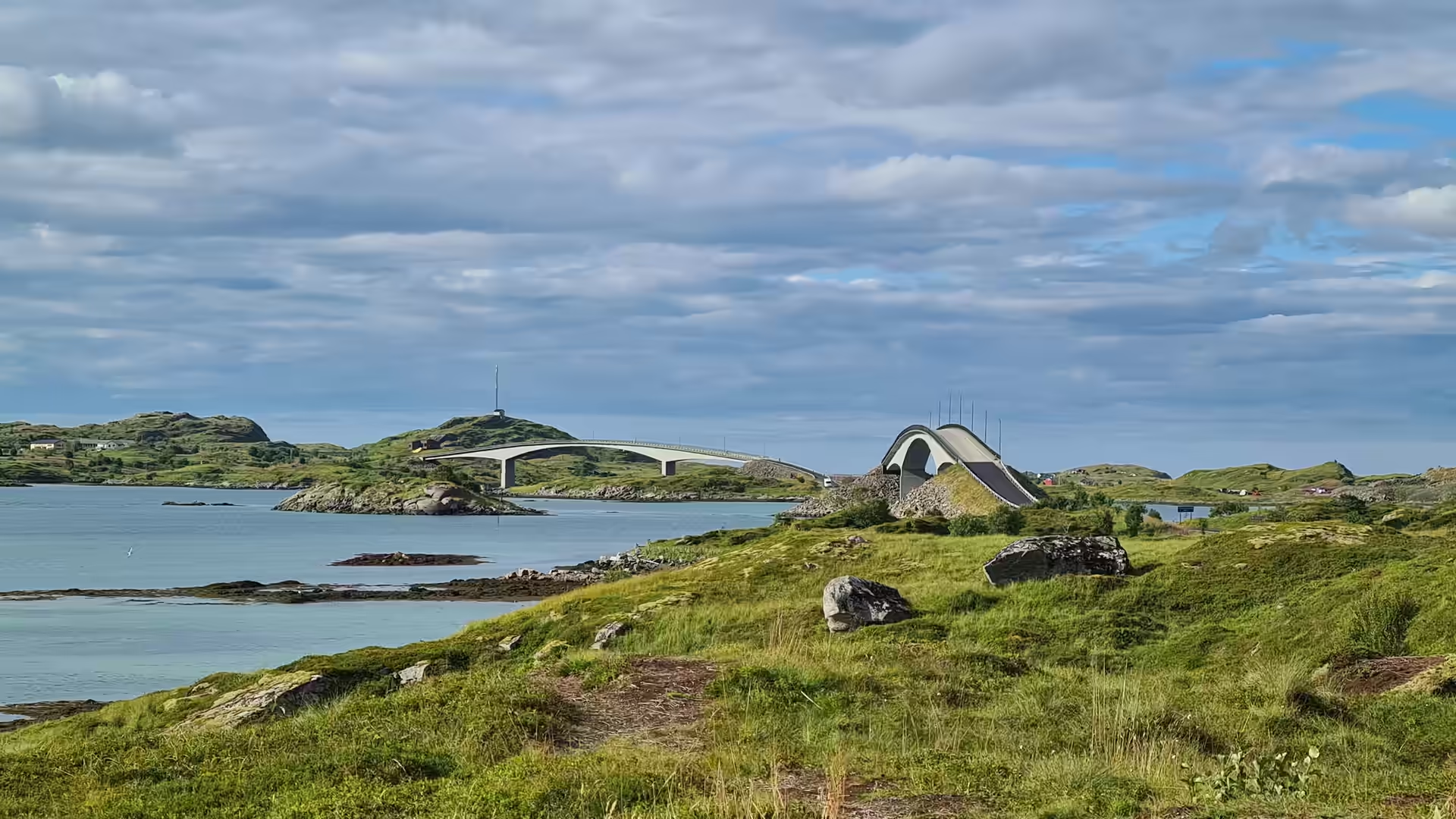
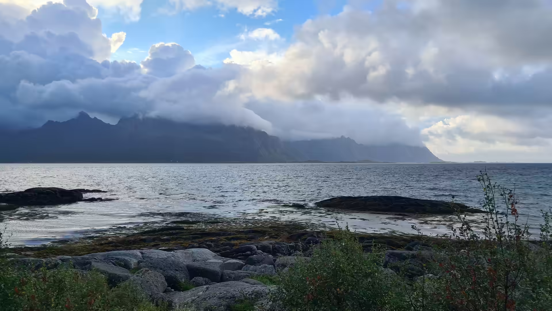
Lofoten opened with a wall of jagged peaks across the water. The road ran along the shore and over the bridges that link the islands, past Ramberg with its long white beach, the little harbours of the north shore, Leknes in the middle of the group and Stamsund on the eastern side. Among the green headlands the light was that of a country far to the north, warmed by the sea.
The next morning the road ran east along the islands to Svolvær, the largest town of Lofoten, where the mountains fall almost straight into the harbour. From there the route turned back towards the mainland, and a ferry carried it across a fjord on the way down to Narvik.
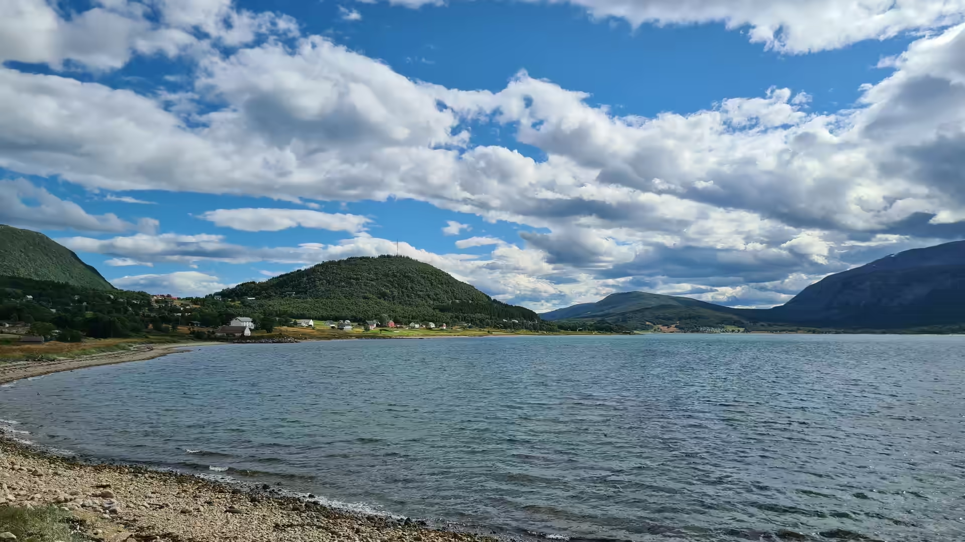
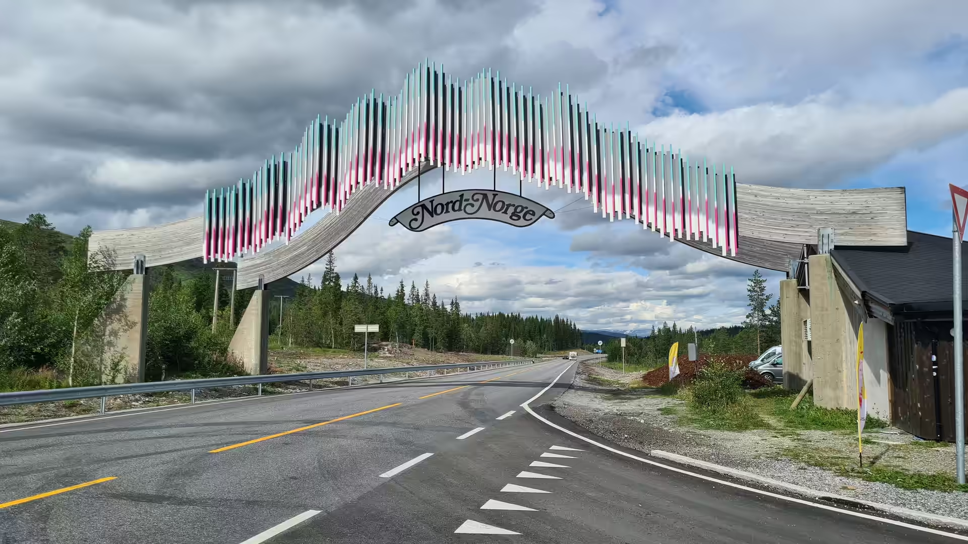
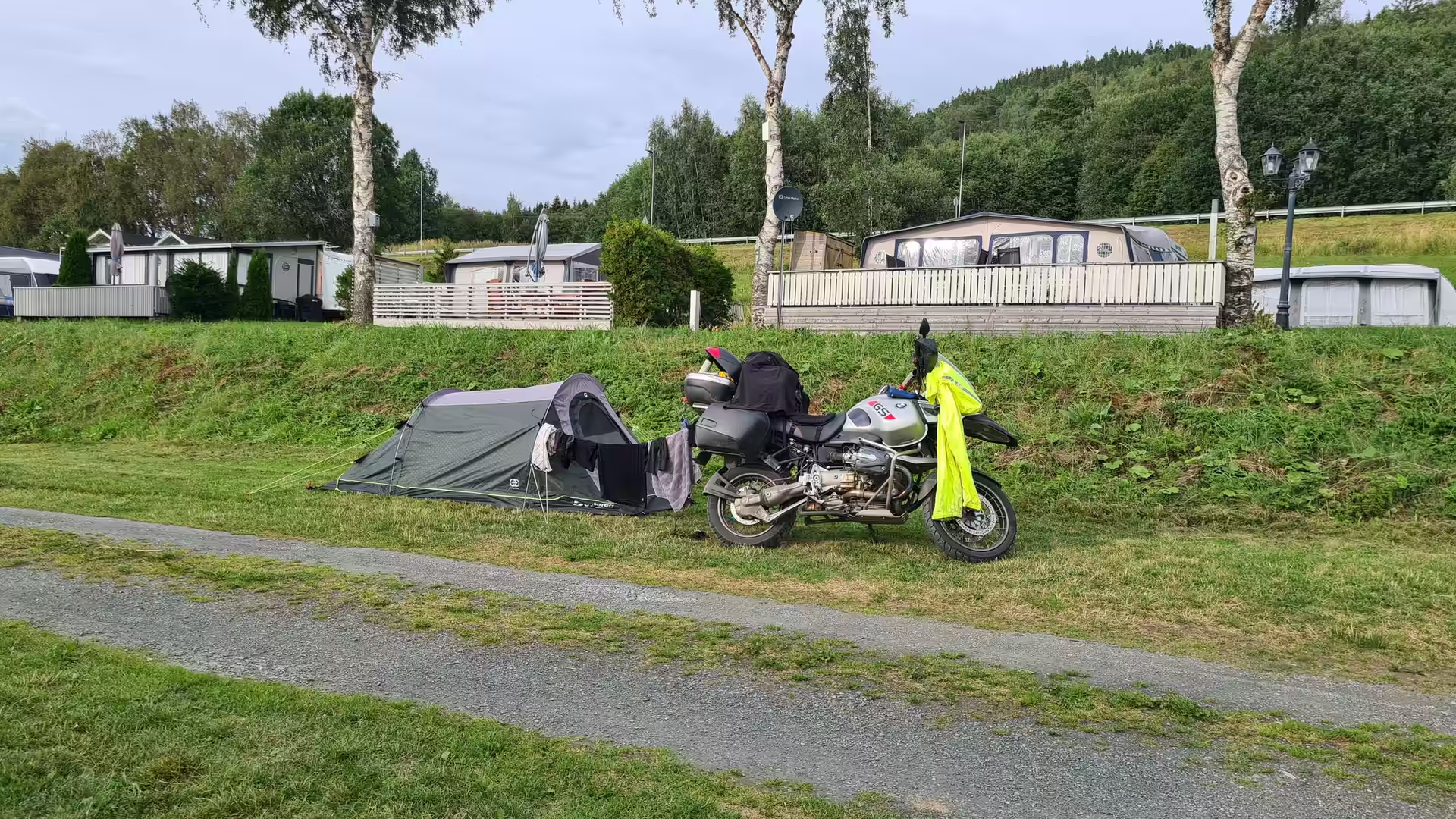
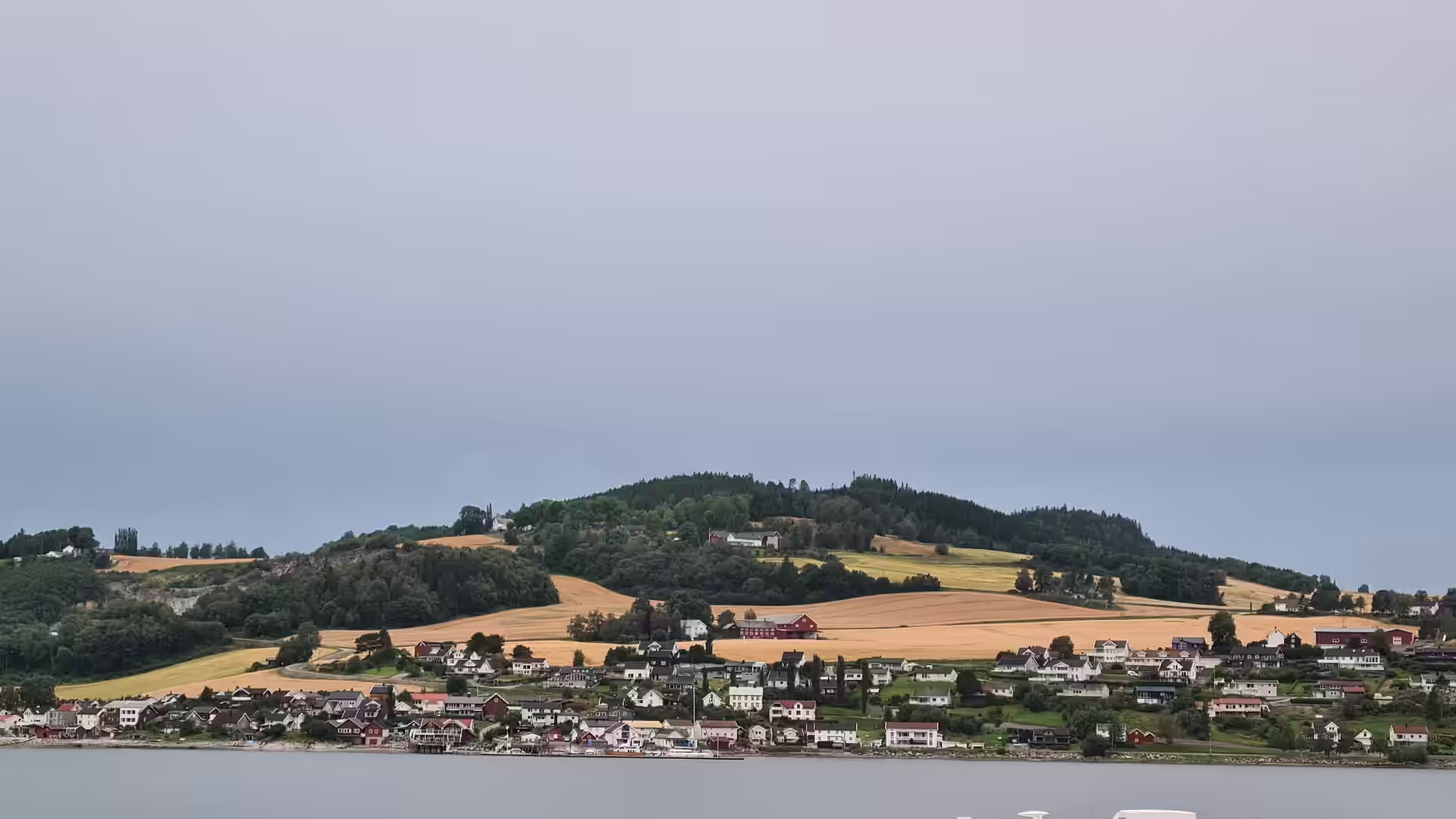
The last days were the long haul south through Nordland. A great timber gateway marked the way into the Nord-Norge road, the mountains slowly gave way to forest and river valleys, and the ride ended among the farms of Inderøy on the Trondheimsfjord, with the tent on a campsite lawn below a hillside village of scattered houses and fields.
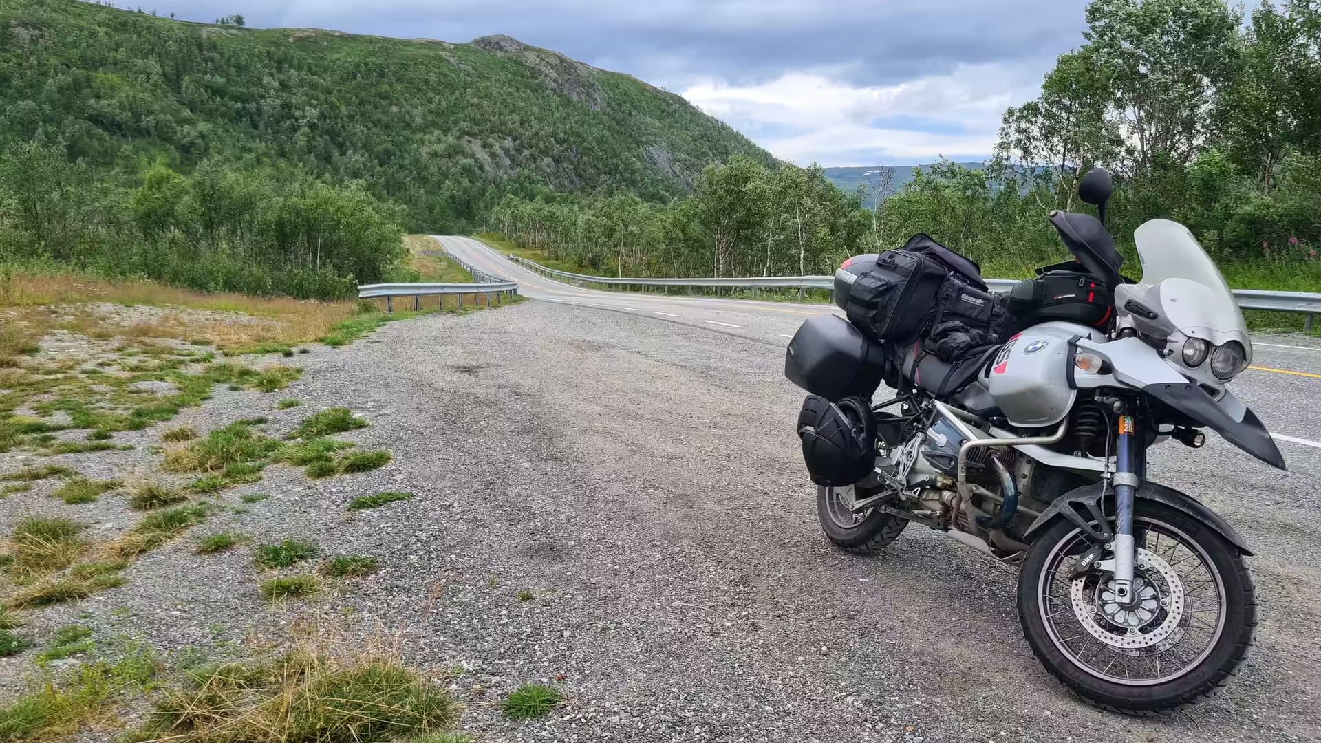
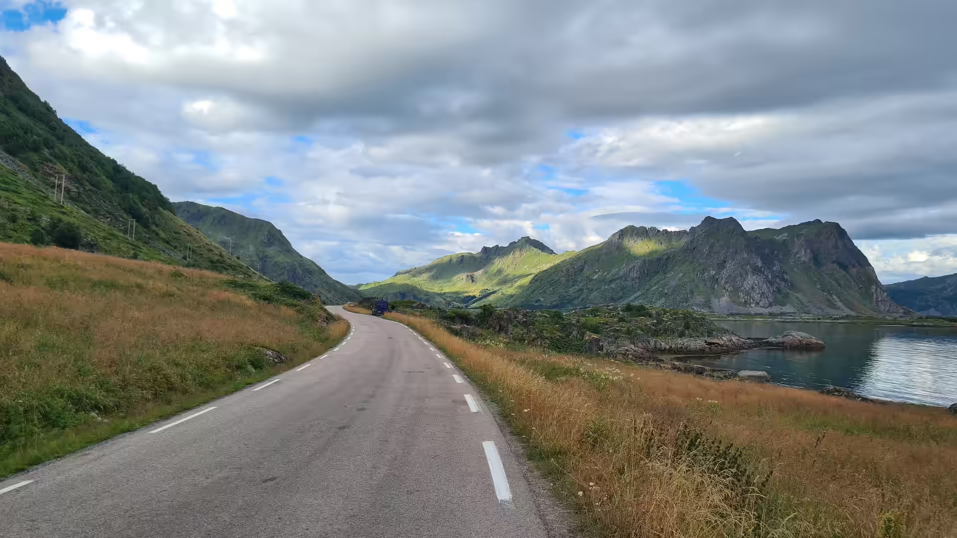
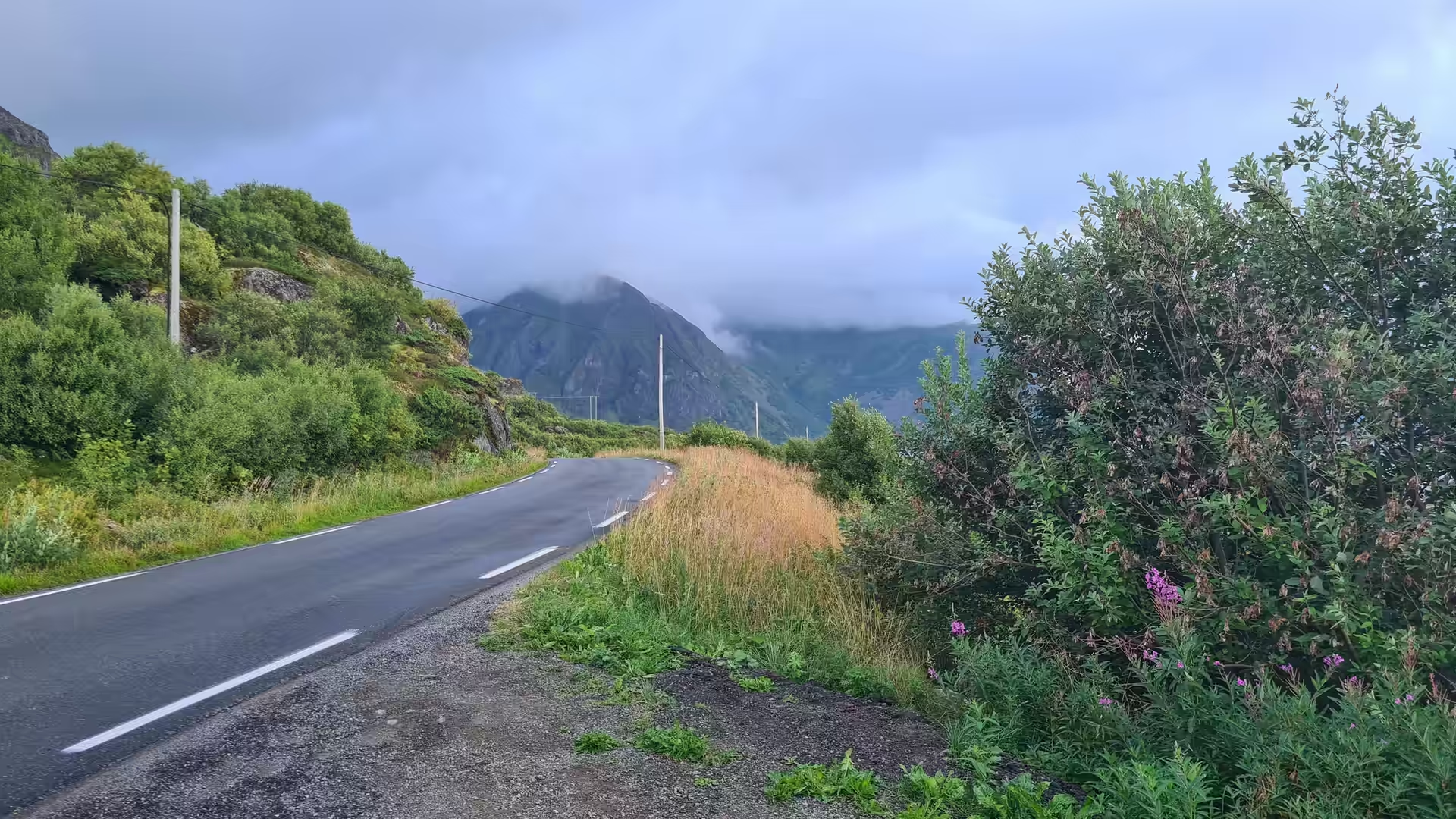
In total the stage covered roughly 2,800 kilometres, from the North Cape down the whole length of Norway to the Trondheimsfjord. The weather was mixed, with fog on the Arctic plateau and bright days further south, and the roads were good throughout. What gave the stage its character was the constant presence of the sea: the bare coast of Finnmark, the fjord towns of Troms, the sharp green islands of Lofoten and the wide farmland shores of Trøndelag.