2026 Hawaii 1 - Oʻahu
20 September 2026











Journal Notes
A single day, a single loop, and 53 pictures taken between the dark city before sunrise and the last light on the water below Koko Head. The first full day of the 2026 Hawaii journey goes round Oʻahu clockwise: out of Waikīkī early, north over the middle of the island, west to the shore at Mokuleia, along the North Shore to Lāʻie, down the windward coast to Kualoa, over the mountains to Kailua, and back along the south east coast through Hanauma Bay to Waikīkī in the evening. Between the two ends of that circle lie 252 kilometres and an island of green cliffs, black lava, white sand and water far paler blue than the maps suggest.
Waikīkī before the City Wakes
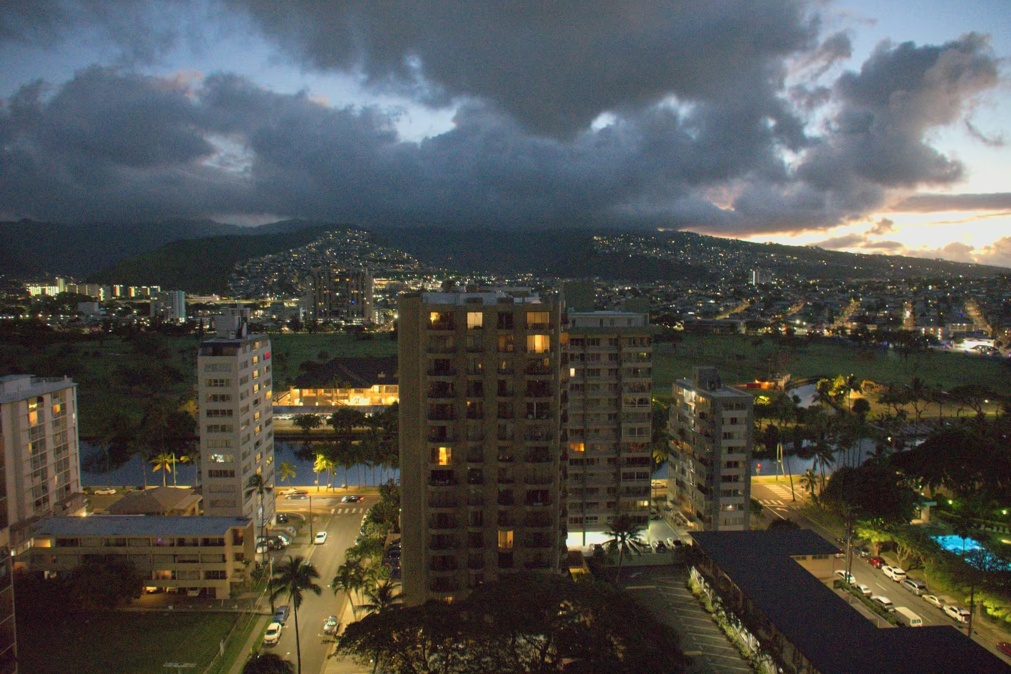
The day opens above the Ala Wai Canal, the waterway that separates Waikīkī from the rest of Honolulu. Under a heavy bank of cloud the towers stand with their windows lit, the canal holds long streaks of that light, and behind the skyline the dark ridge of the Koʻolau is barely to be made out. Nothing moves on the streets yet; the palms along the canal and a hundred lit windows are the only signs of life. Shortly after six the car leaves the district.
What follows for 28 kilometres is one unbroken drive. The road climbs out of Honolulu through Nuʻuanu, Kalihi and Pearl City onto the central plateau, and the green of the city gives way to drier country of low ridges and open fields. The first stop comes on the plateau in Wahiawā, an old plantation town at 279 metres where pineapple fields once ran to the horizon in every direction, its single storey houses standing against the mountains of the Waiʻanae range behind.
The West Shore at Mokuleia
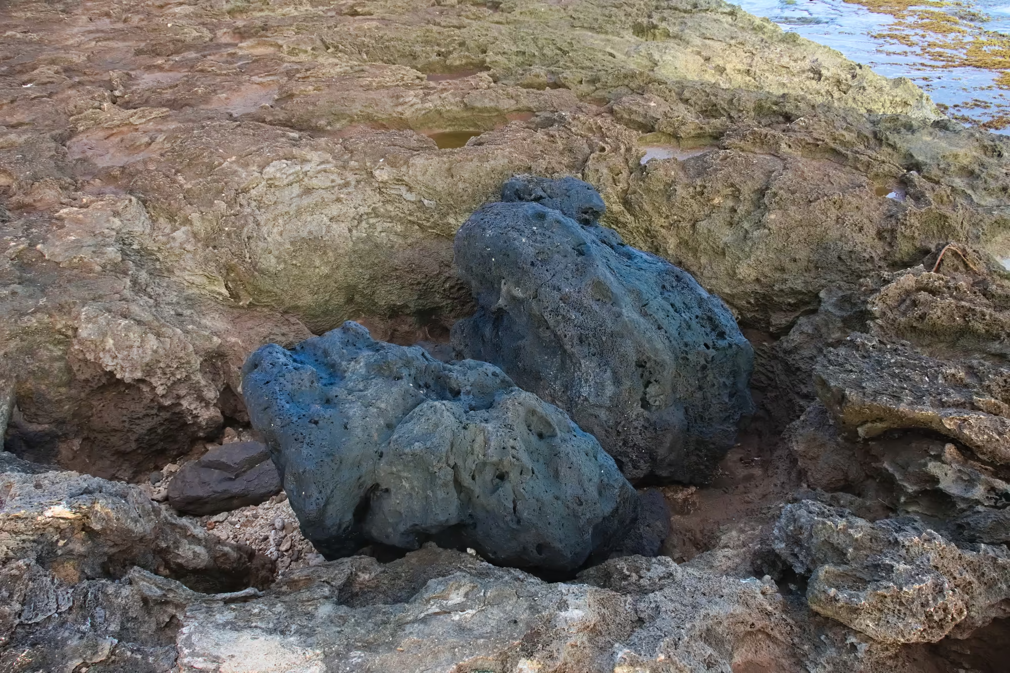
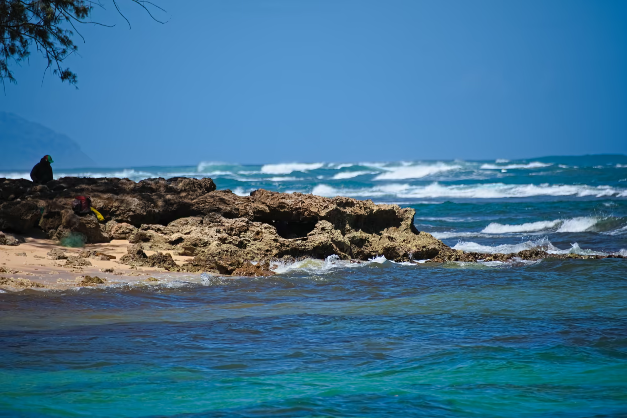
Where the road meets the sea again it is on the leeward side, at Mokuleia, on the long west coast that reaches towards Kaʻena Point. Here the island shows its bones. The shore is a shelf of dark lava, pitted all over with small holes and stained with blue grey lichen, lying among paler, layered stones; between the rocks stand shallow pools, brown algae floats in the clear water behind them, and there is no sand at all.
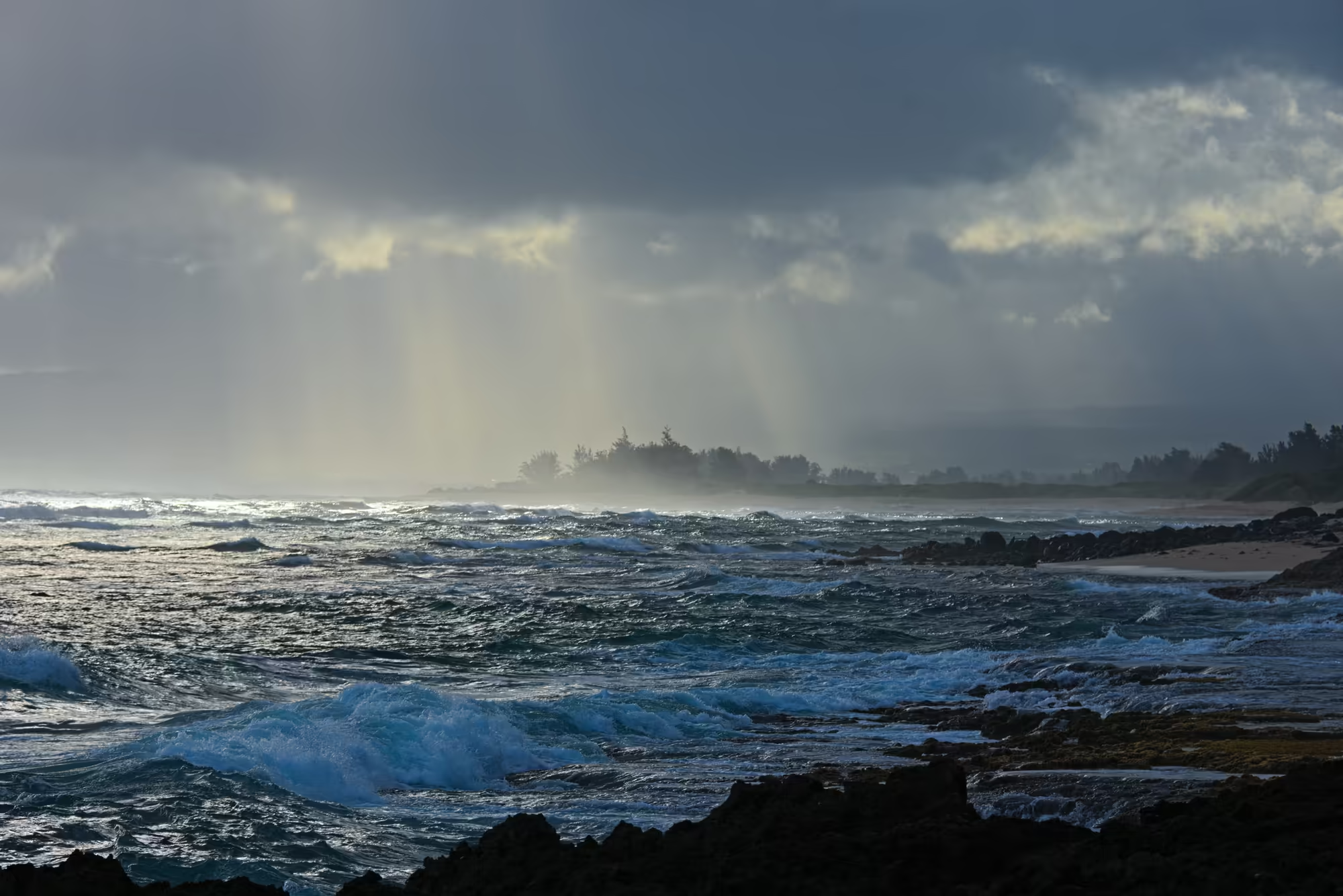
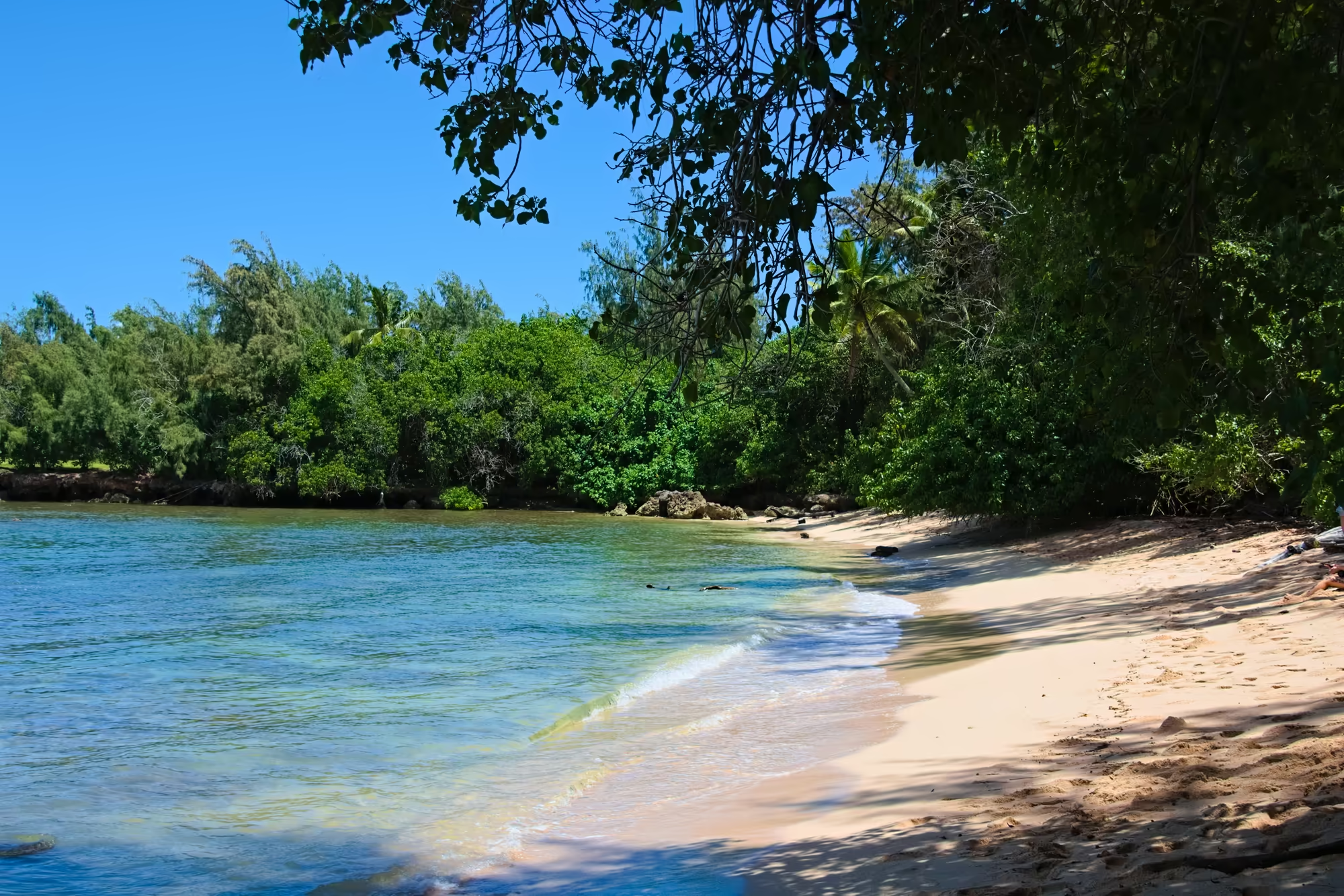
A few kilometres north the same shore turns into a beach of red brown sand, with a line of driftwood marking the last tide and a rough frame of sticks standing at the water’s edge. A wide band of silver light lies across the sea where the sun comes through the cloud, waves break in white lines against the dark water, and the coastal trees stand as silhouettes along the sand.
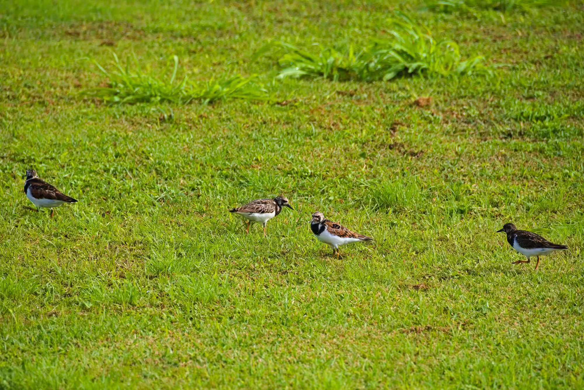
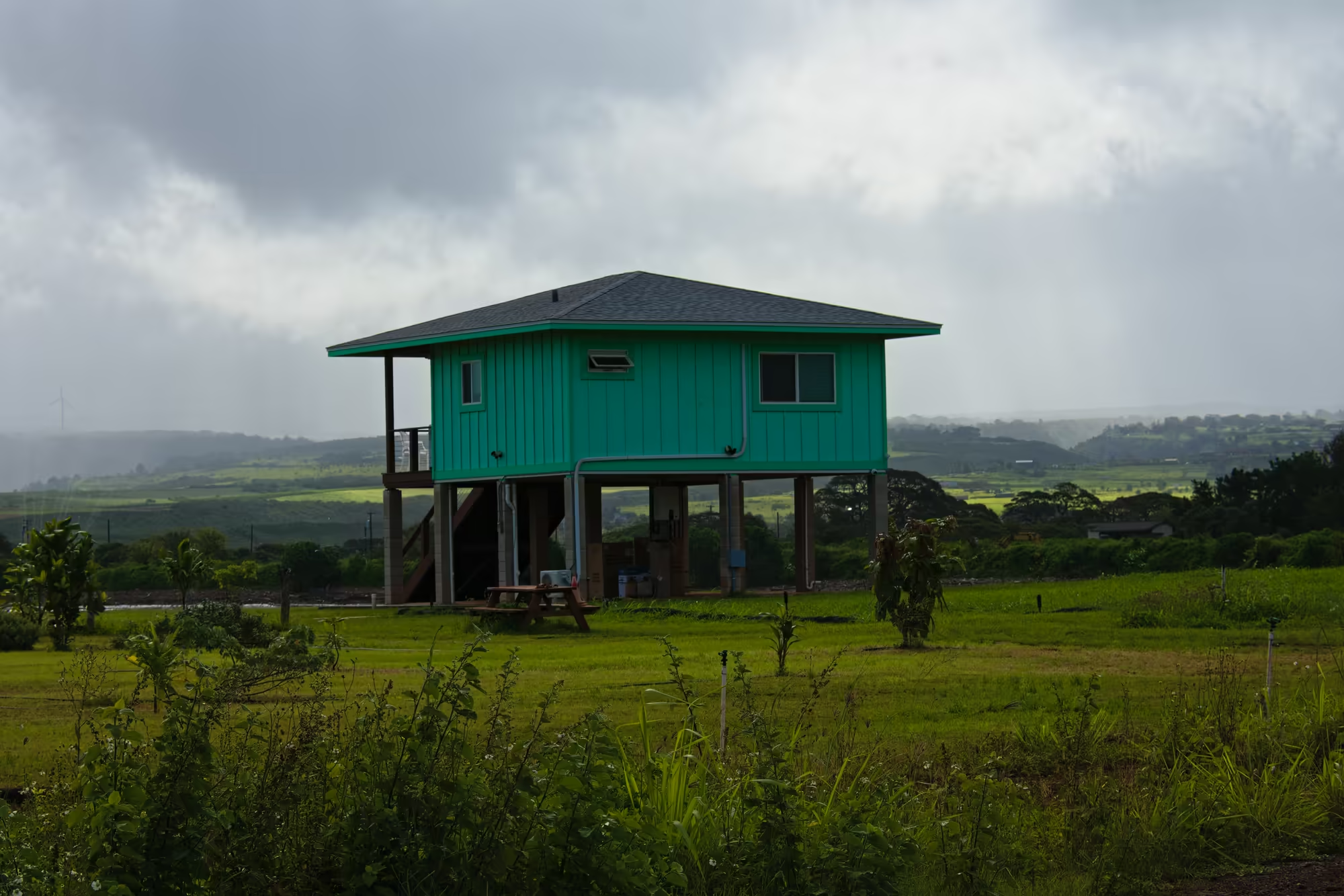
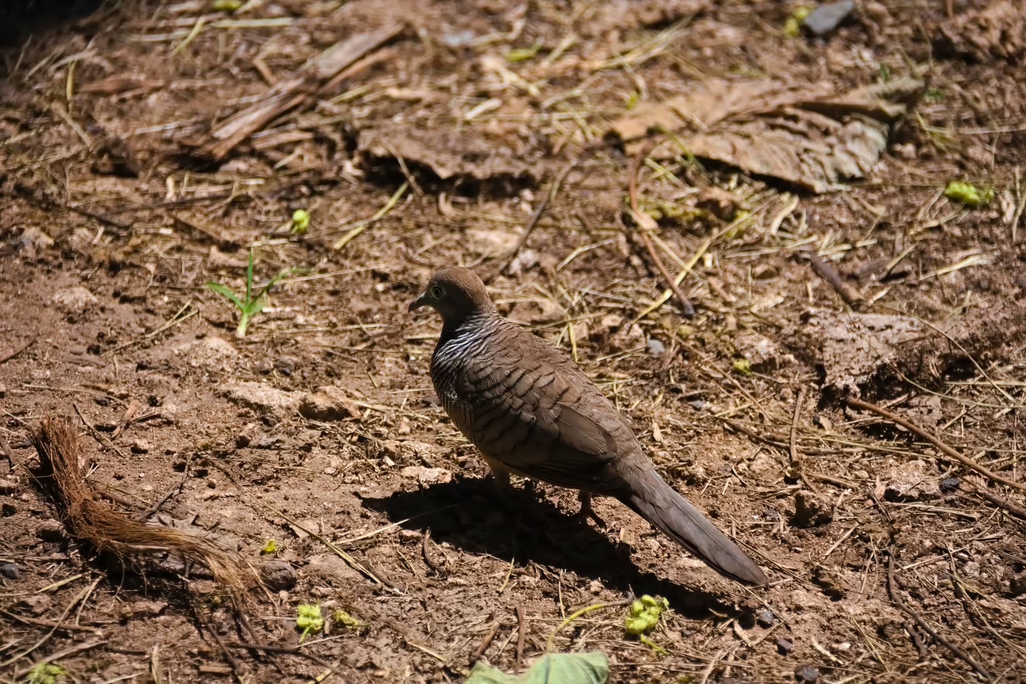
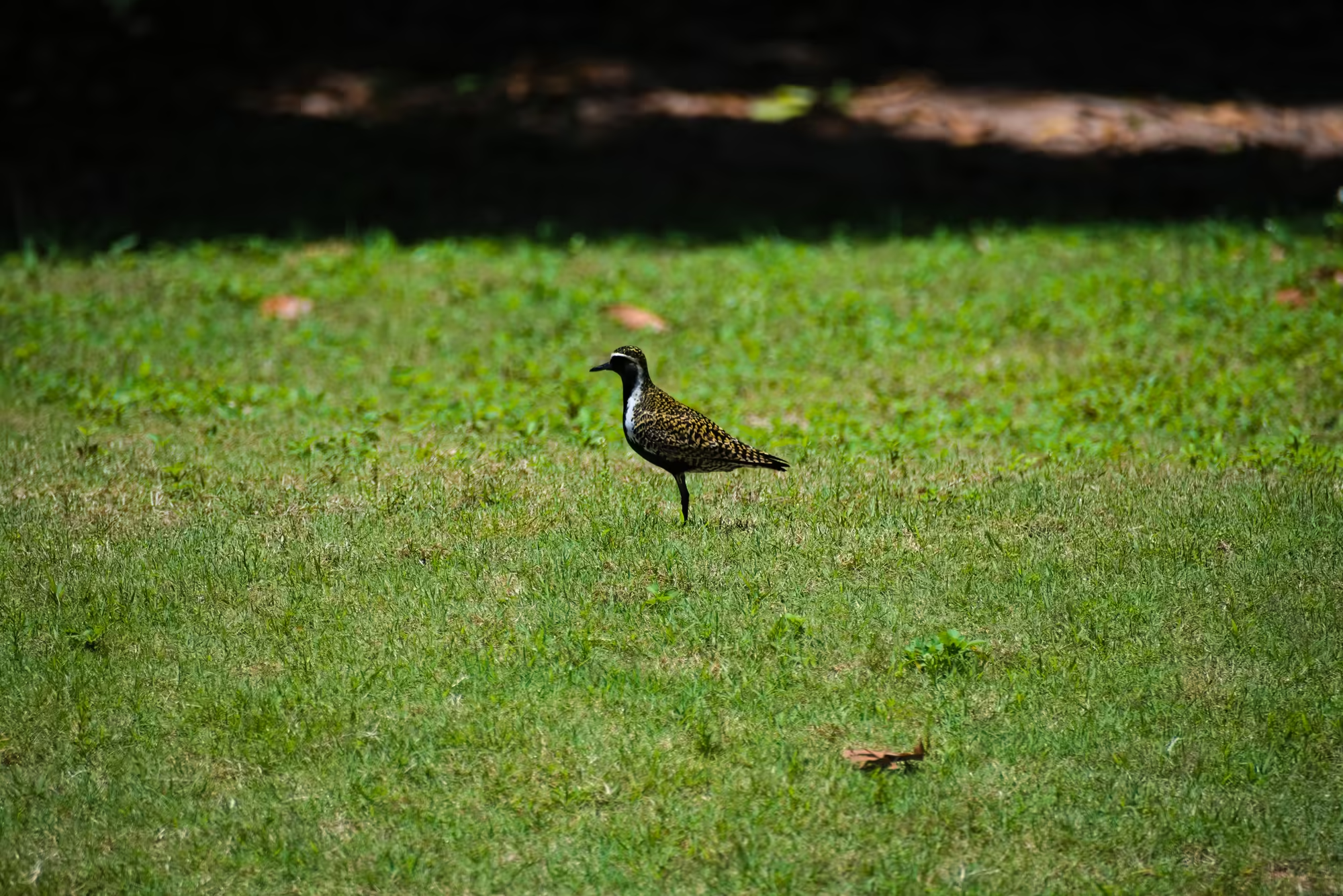
The first inhabited place of the day is Waialua, an old sugar town a little inland. At the corner of Goodale Avenue and Nauahi Street stands a filling station: a blue pylon with the prices, the word Aloha above the panel, the island mart below it, and the green street blade half lost in the leaves. Nearby, shorebirds with thin orange legs stand spaced out across a mown lawn; outside the town, in country of tall grass and green pasture, an old turquoise cottage stands on posts with a picnic table underneath and a wind turbine turning on the ridge behind.
Haleʻiwa and the North Shore
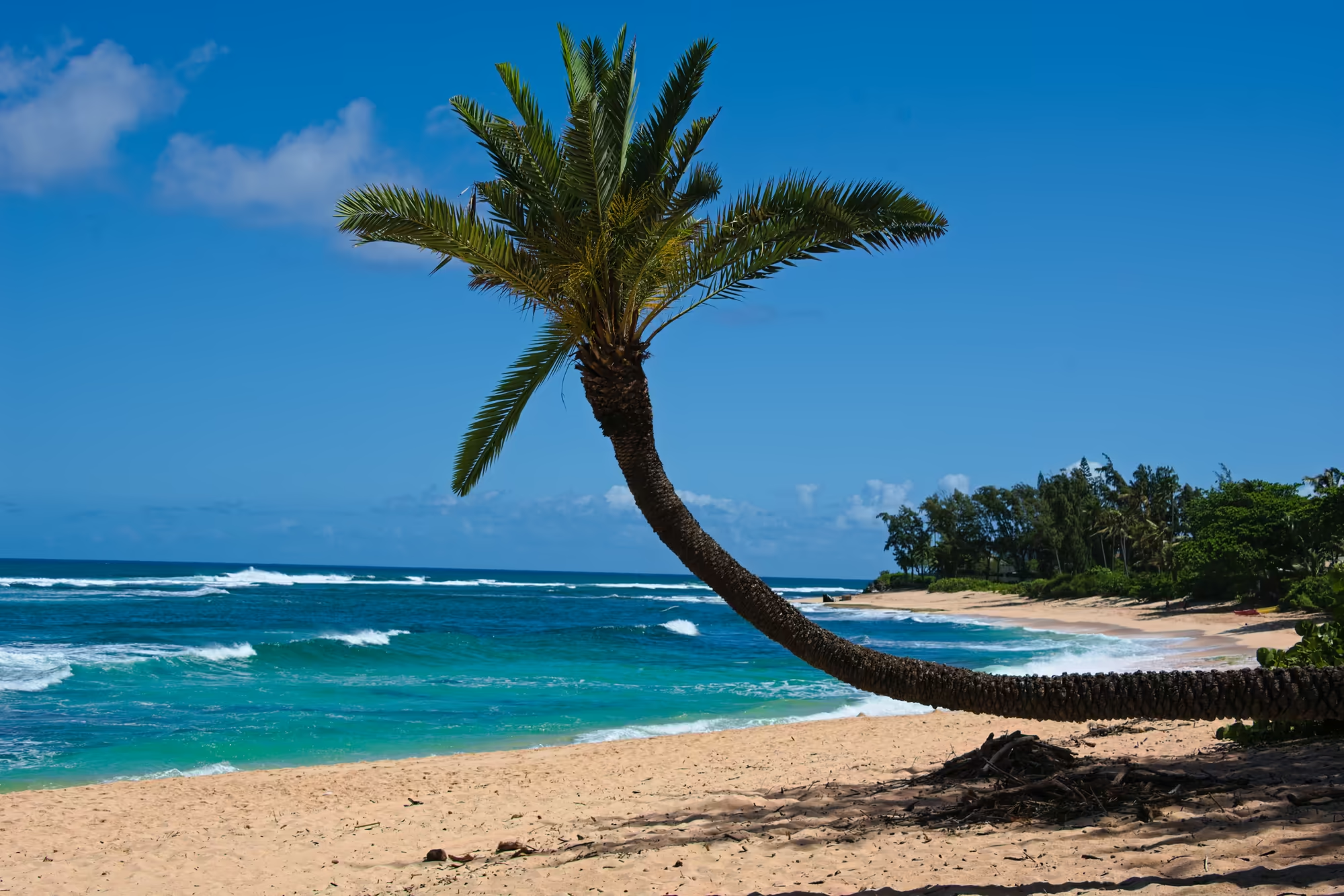
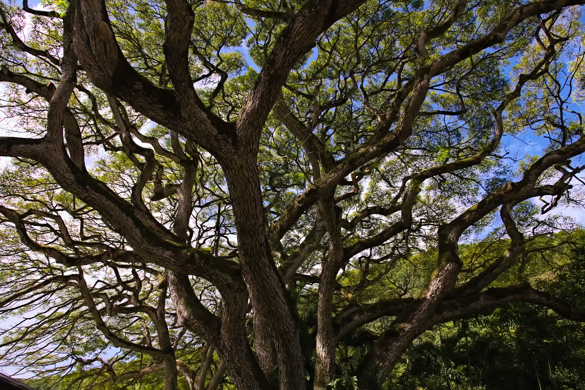
Haleʻiwa is the largest town of the North Shore, a plantation settlement at the mouth of the Anahulu River, and the place where the day slows down. Above the town stands a great old tree with a wide, flat crown: from below, its massive limbs divide and divide again across a bright sky, moss on the upper sides, small feathered leaves letting the light through. Along the shore the palms lean out over the water at improbable angles, their ringed trunks almost horizontal before the crown turns up again, and the sea beneath them runs through every shade from turquoise to deep blue.
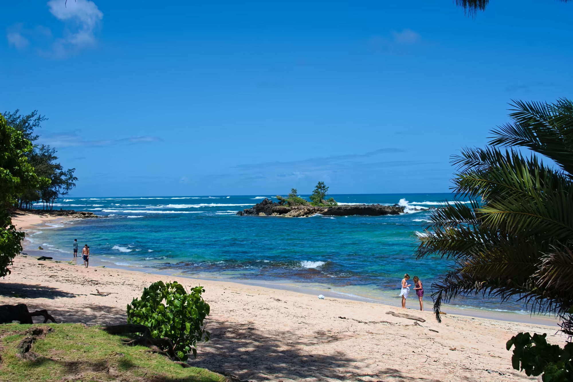
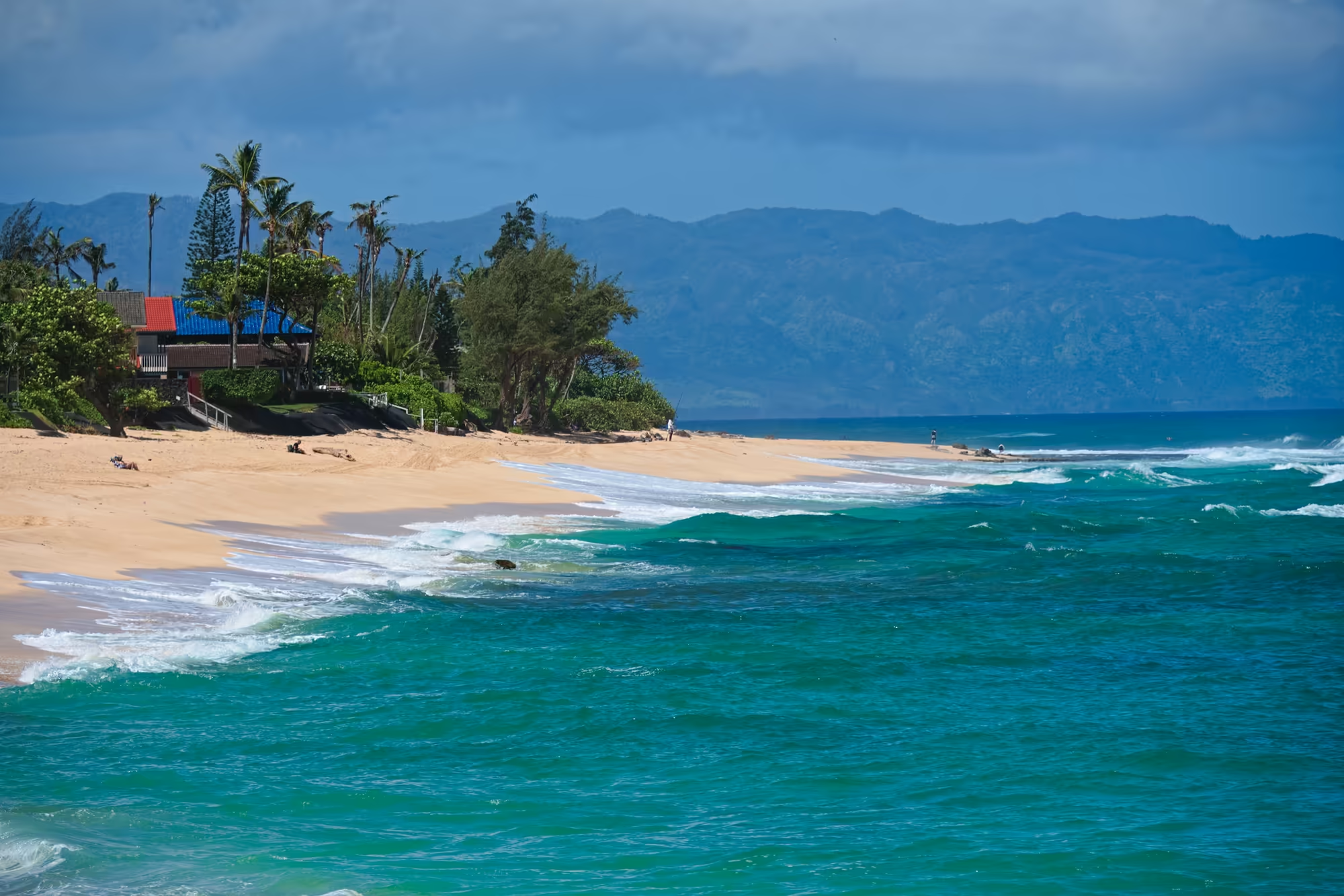
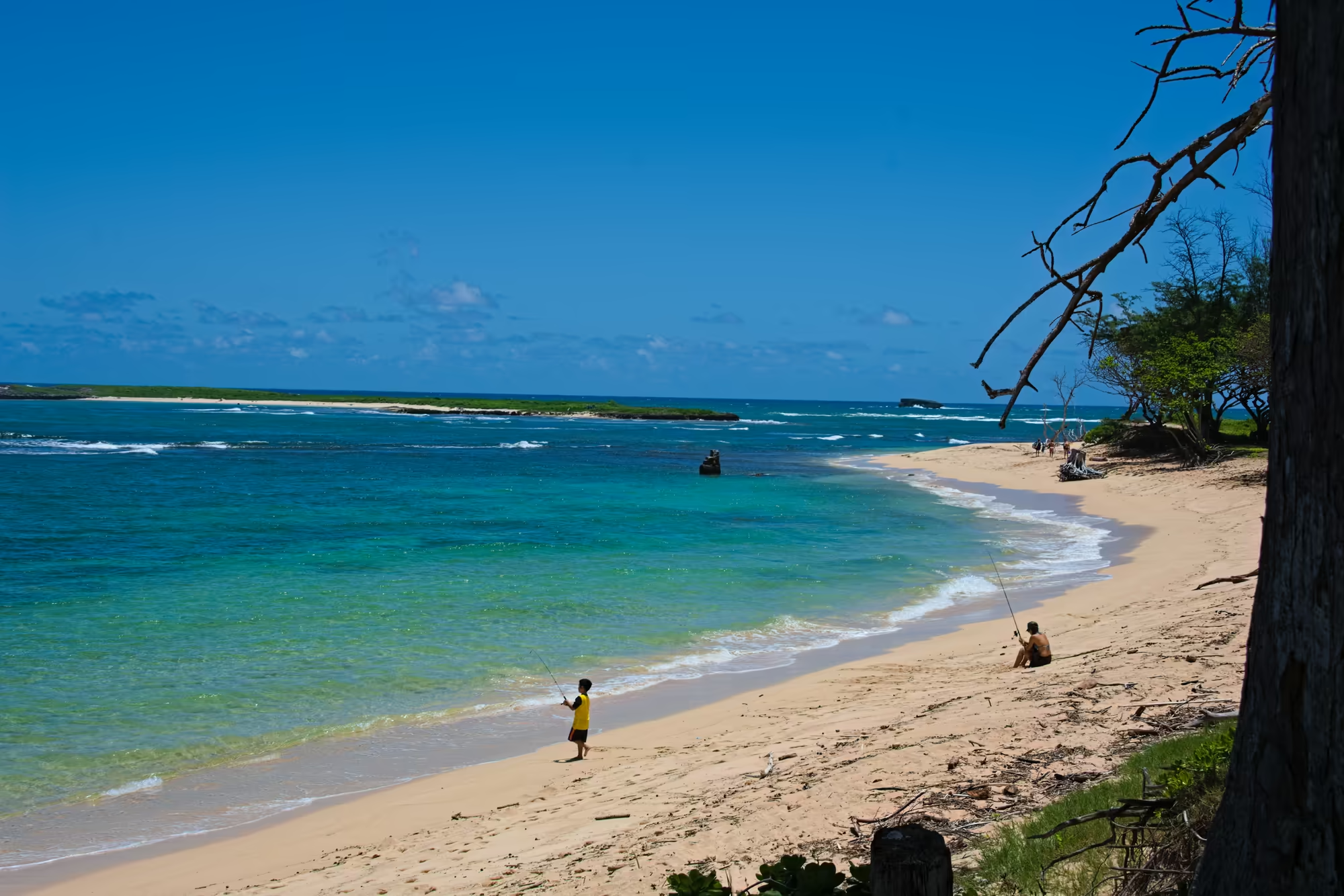
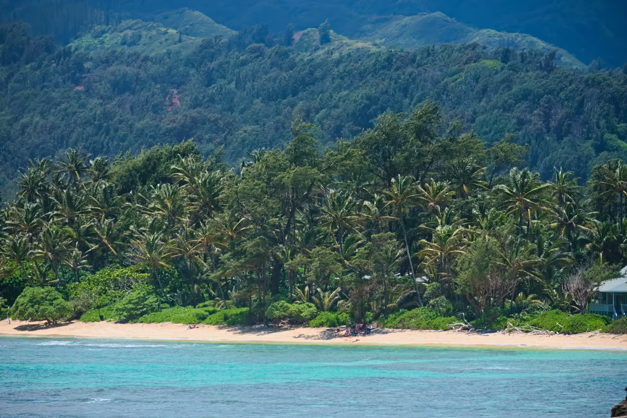
The beaches that follow are the reason the North Shore is famous: golden sand curving away in long arcs, strewn with driftwood and dry weed, the surf breaking in parallel white lines offshore, tiny figures standing in the shallows, and a wall of green trees behind the sand with a grey roof or two among them.
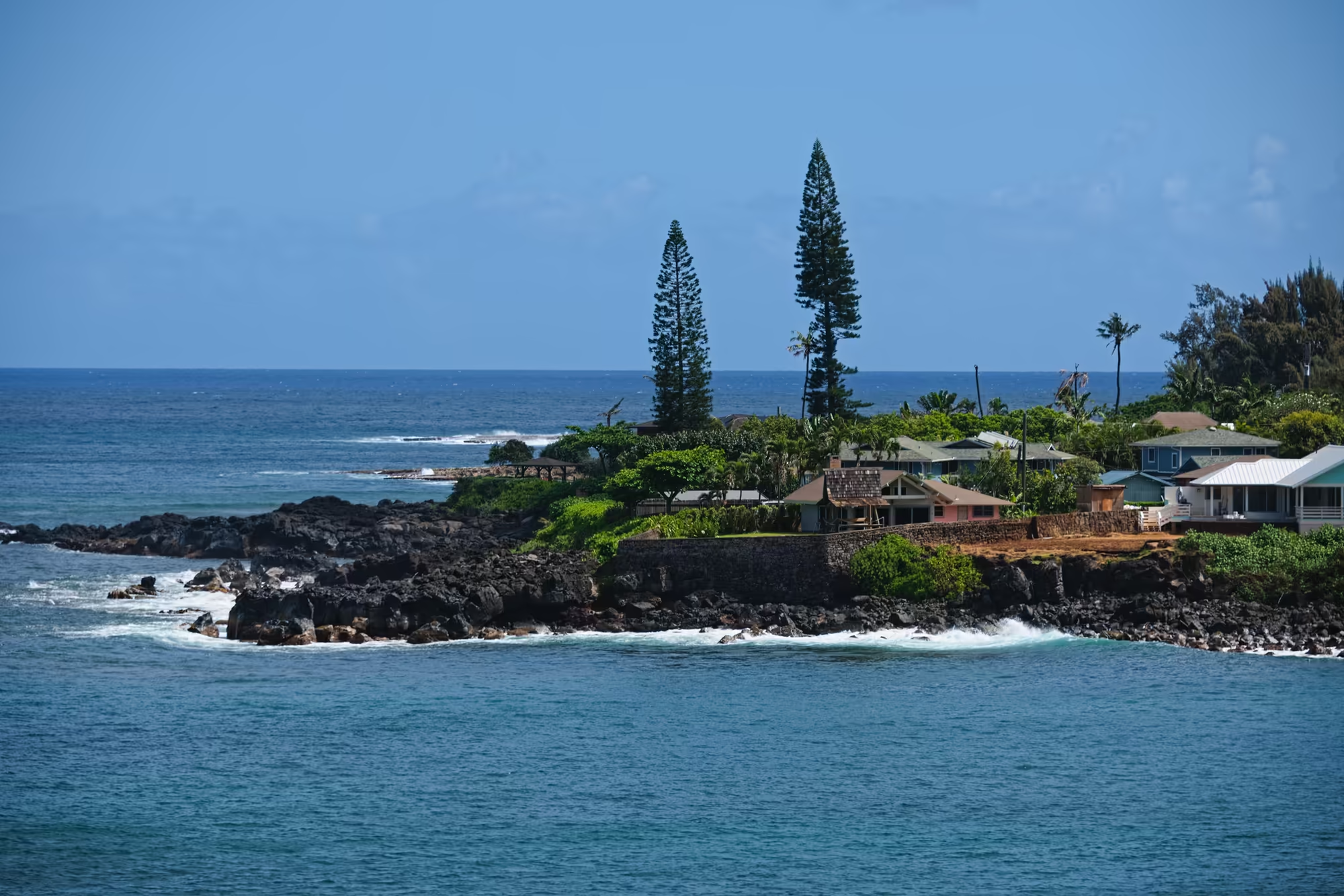
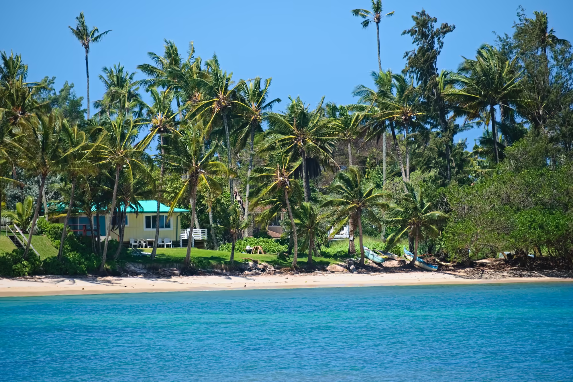
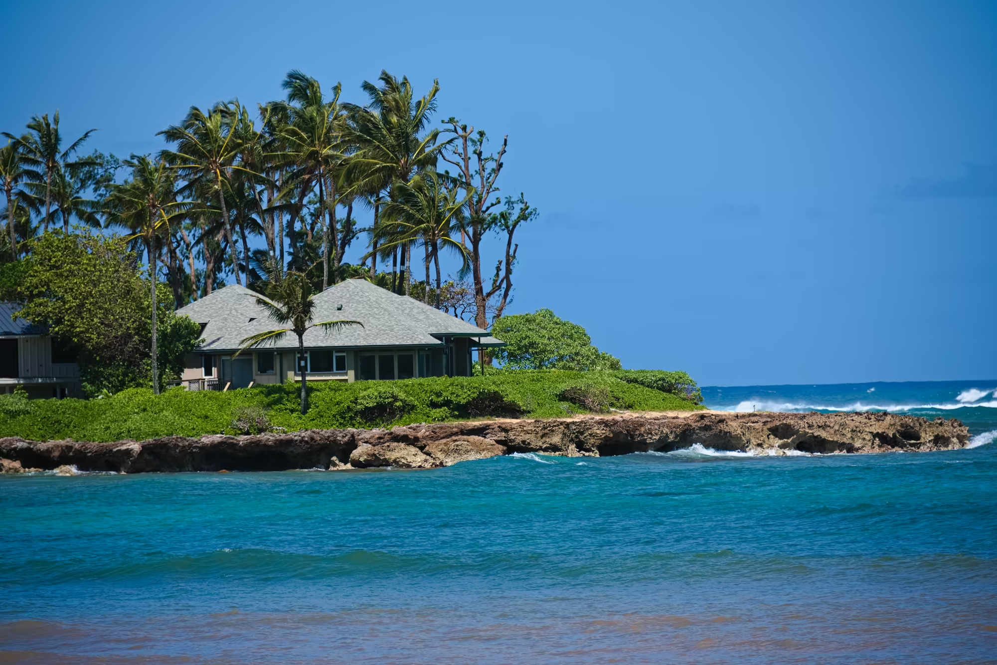
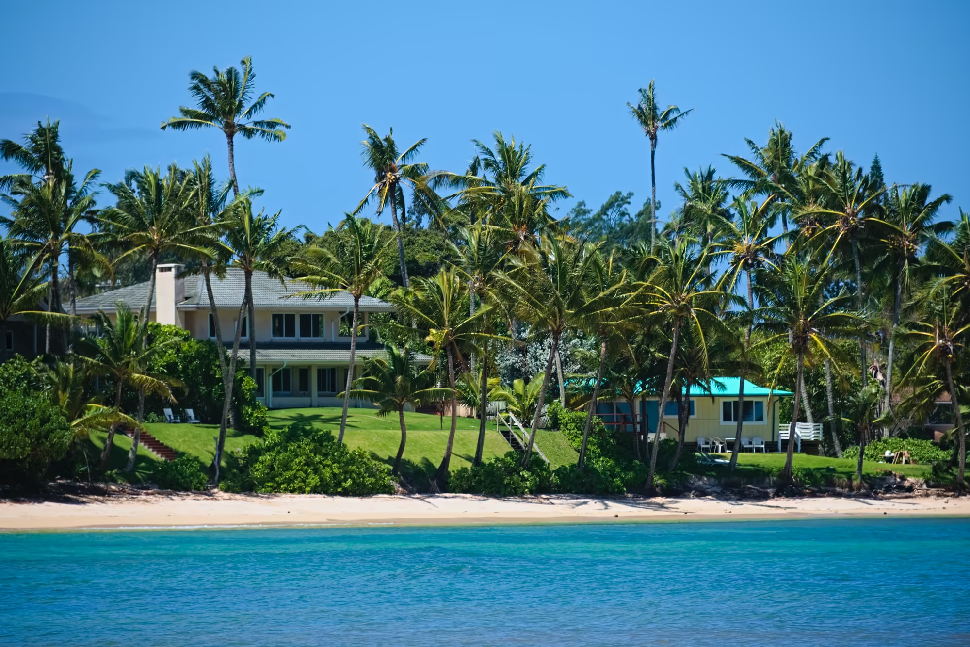
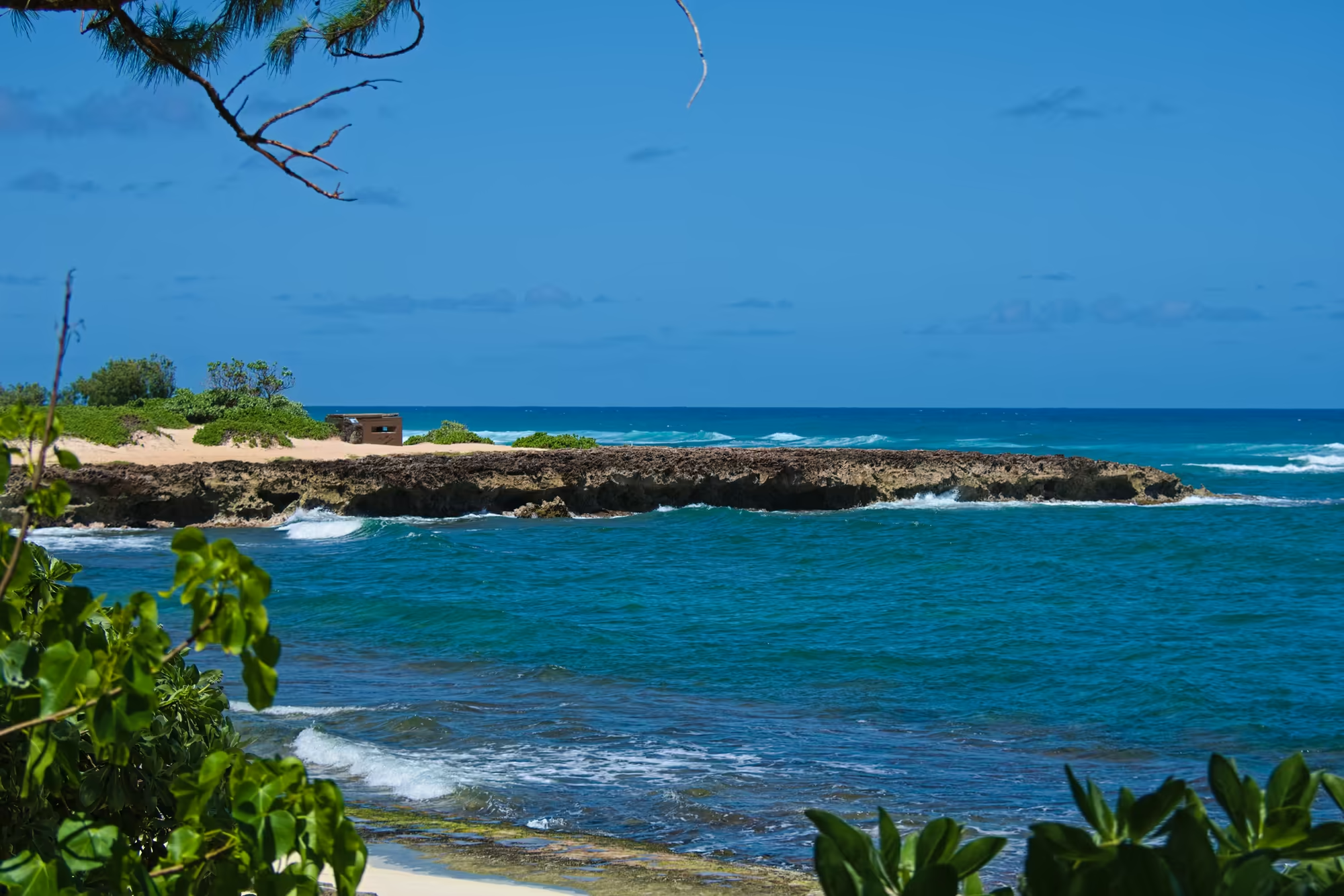
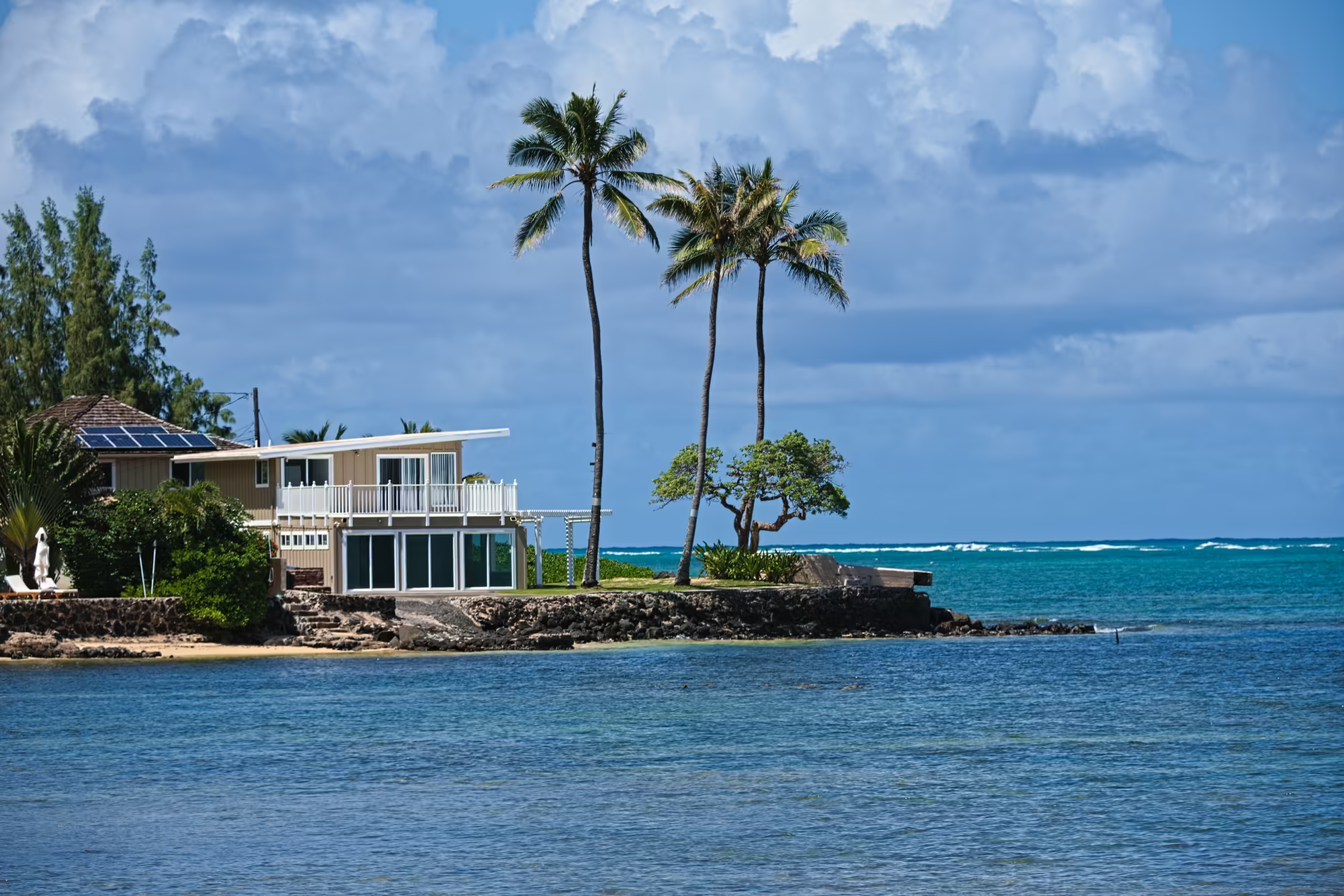
Further north at Kawela the coast becomes calm water and open lawns. A quiet bay curves in behind a line of coconut palms, two long canoes rest at the vegetation line beside a house with a bright teal roof, a larger pale house and a small yellow cottage stand on manicured grass with white chairs set out under the palms, and on the sandy bluff above the water, low shrubs growing around it, a small concrete block with a narrow horizontal slit looks straight out to sea.
Lāʻie: Coconuts, an Arch and Pineapple
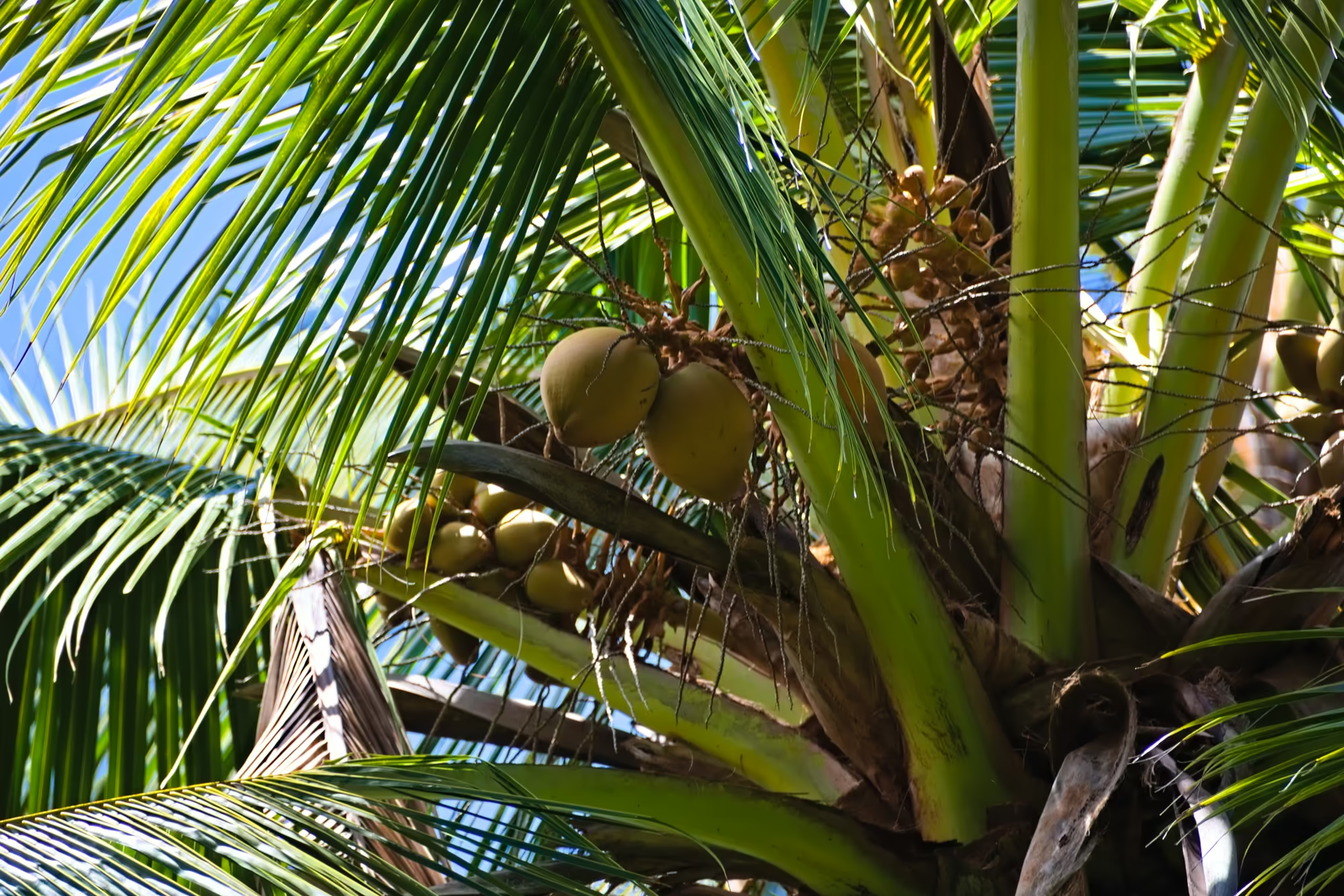
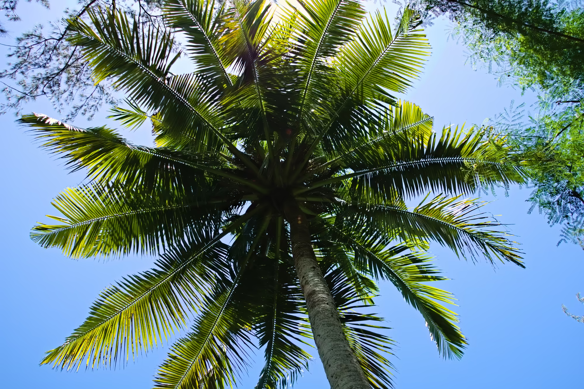
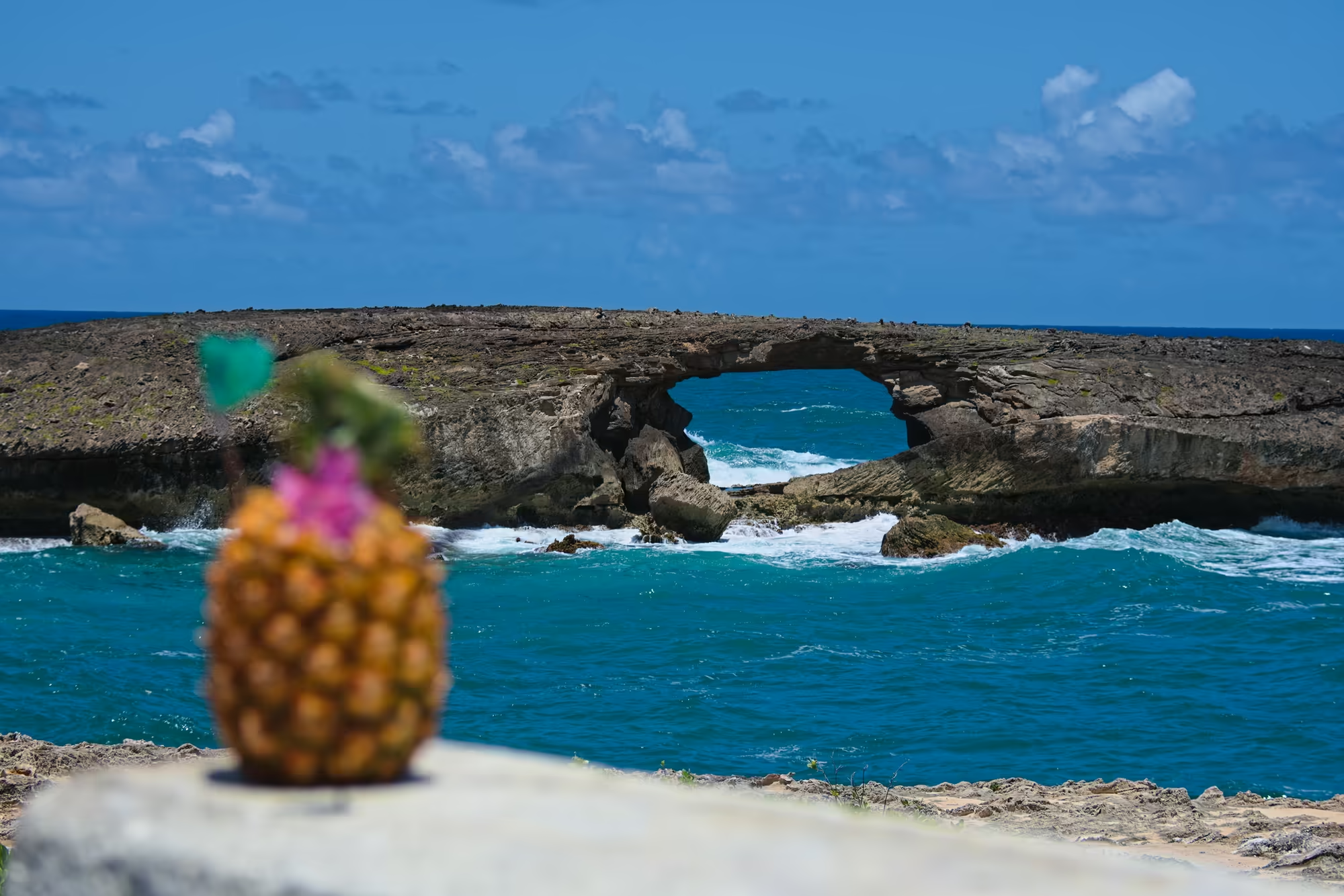
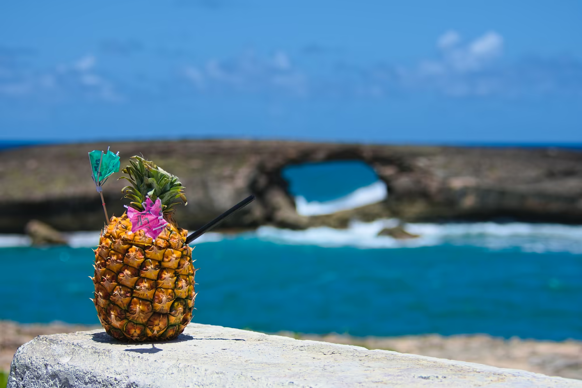
At the north east corner of the island the coast turns south again at Lāʻie. Inside the crown of a coconut palm the view is of clusters of green and tan fruit at every stage, glossy fronds and scraps of dry fibre, with patches of blue sky between the leaves. At the water’s edge below the town a natural arch of layered rock spans the surf, and a wave breaks high inside the opening while the open sea runs deep blue beyond.
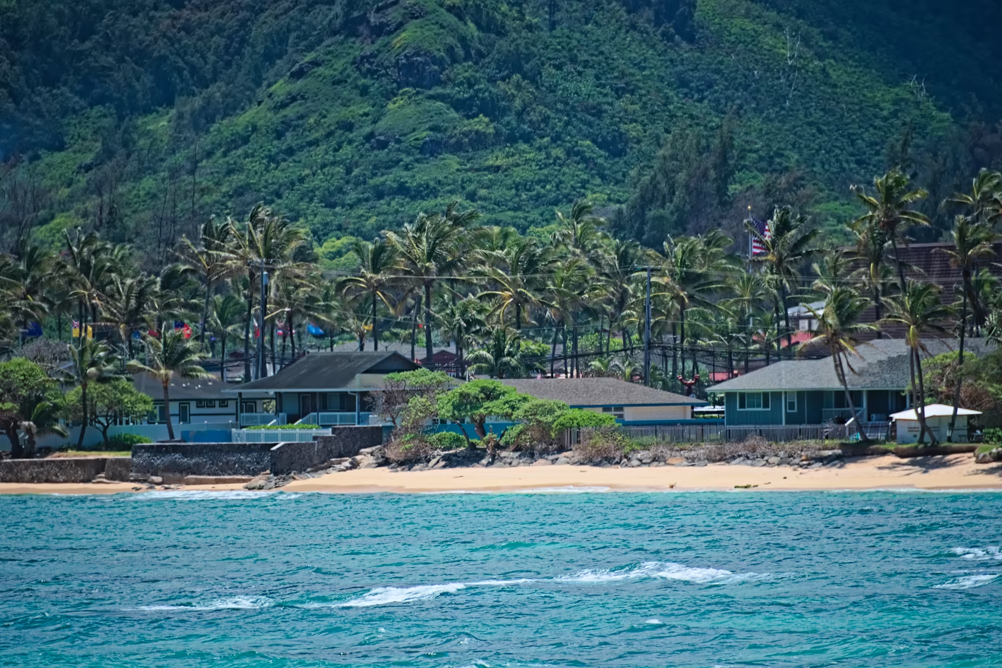
The settlement is a line of single storey houses behind a narrow beach, blue and green walls, verandas and low stone walls, palms between the gardens and the sand. Behind the houses the land rises at once into steep green mountains, so that the town seems squeezed between the ocean and the ridge.
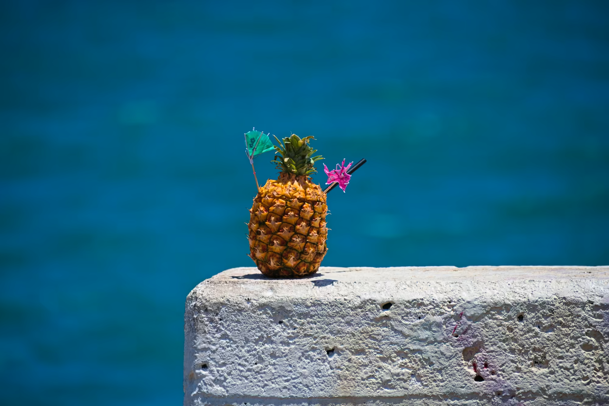
Food on this coast is simple and often comes out of a pineapple. A whole fruit stands on a rough concrete ledge with a green paper umbrella and a pink cocktail pick pushed into its rind; another has been hollowed out and filled as a drinking cup with a long black straw and two small umbrellas.
Punaluu, Kahana and the Kualoa Cliffs
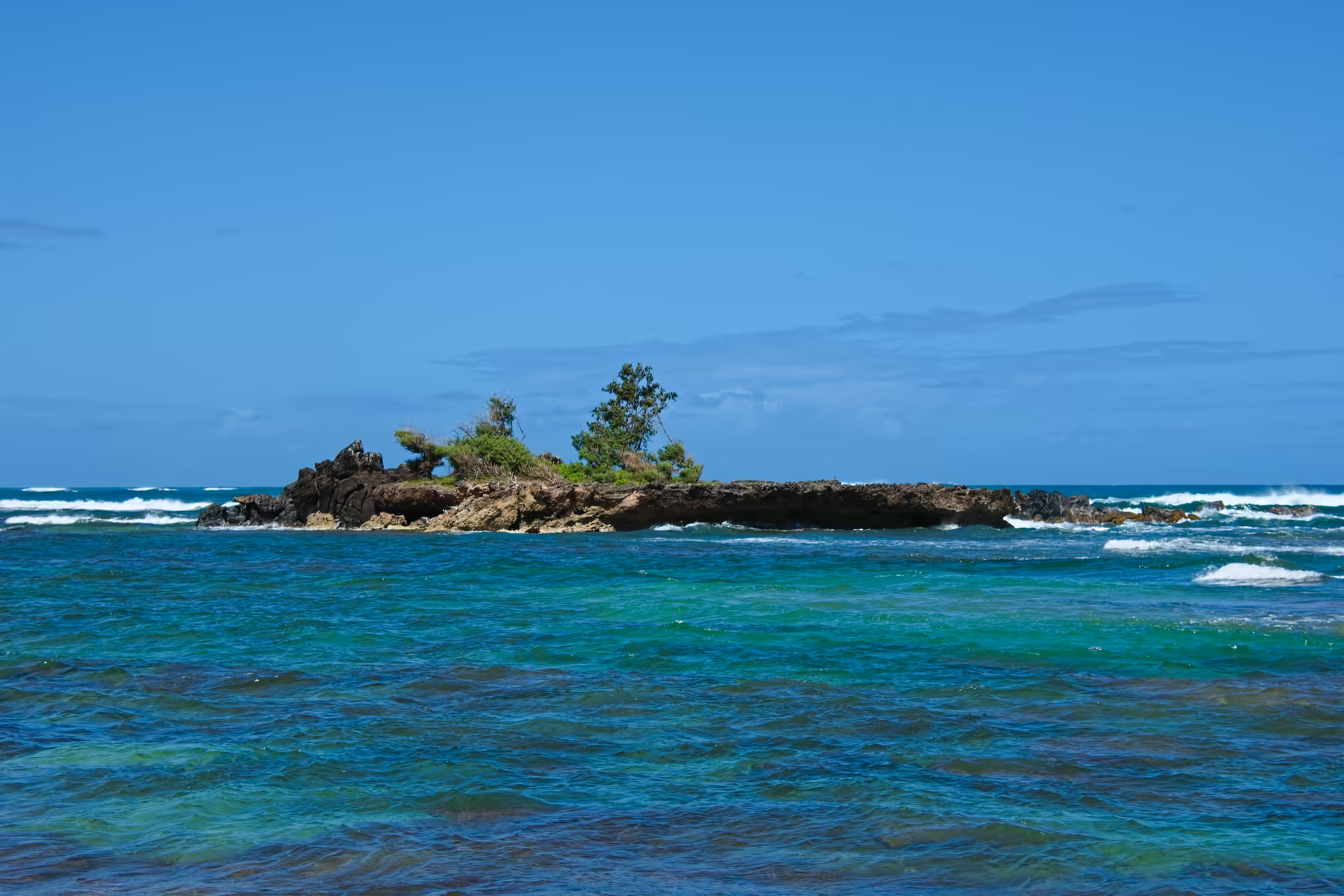
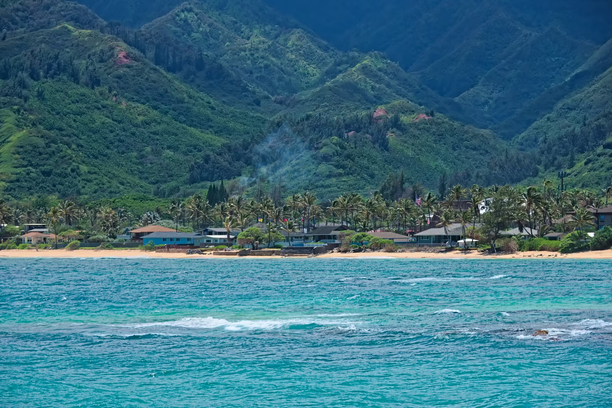
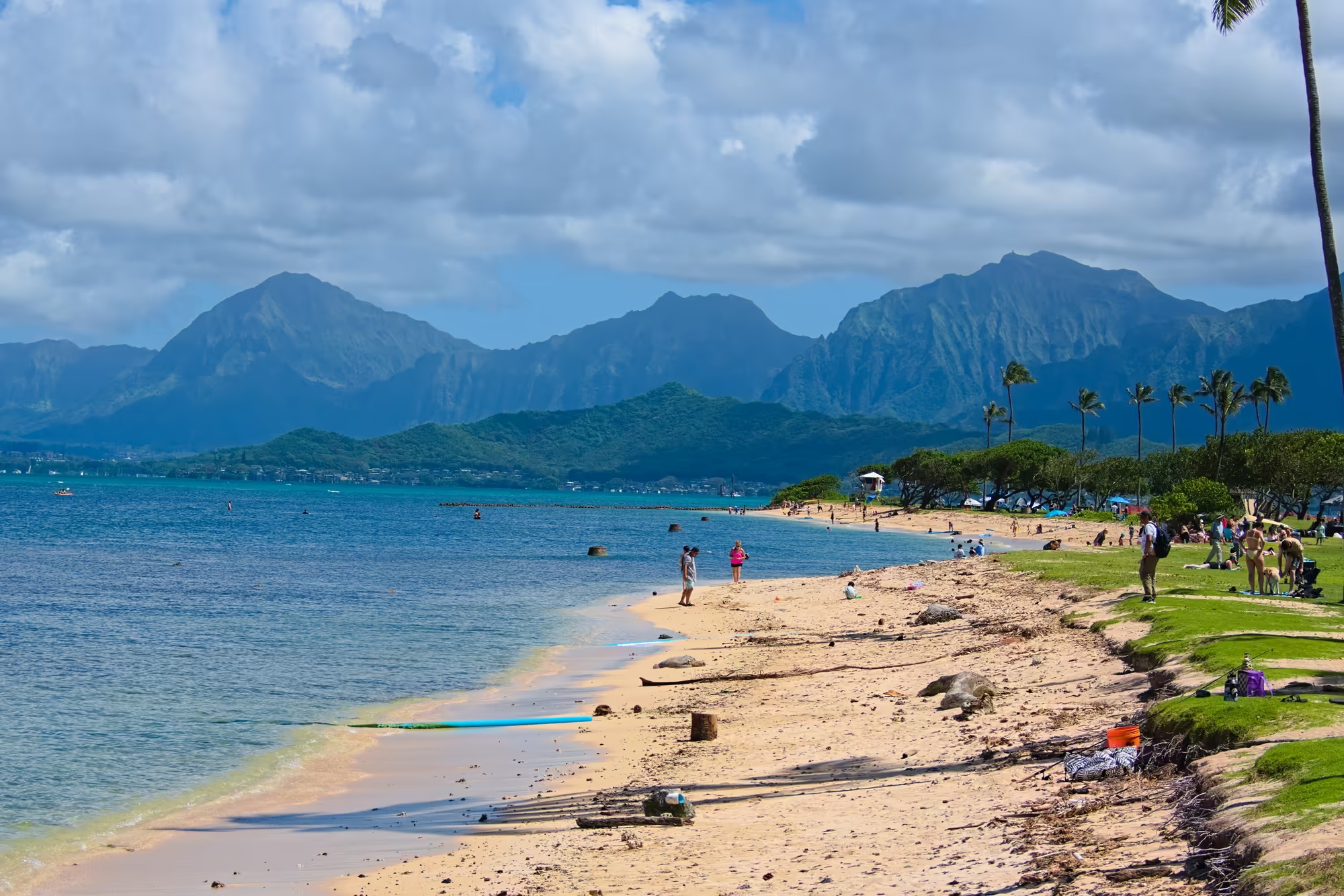
South of Lāʻie the road runs between the water and the mountains on a strip of land only a few hundred metres wide. Punaluu and Kahana lie along it: cottages, cars parked under the trees, palms on a low point reaching into the sea, and behind everything the steep green wall of the Koʻolau with deep folds and dark shadows in them. Out in the bay a single swimmer shows as a small dark point in a great deal of turquoise water, a headland covered in palms comes in from the right, a tall lattice mast rises behind the coast, and far off to the left a flat islet sits alone on the horizon.
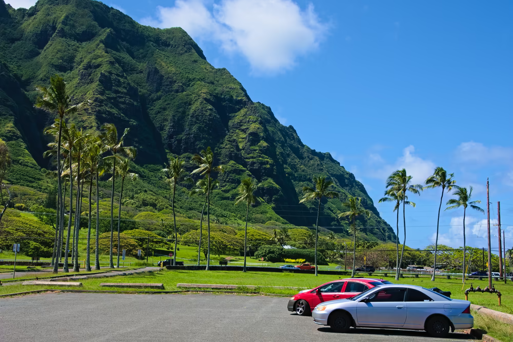
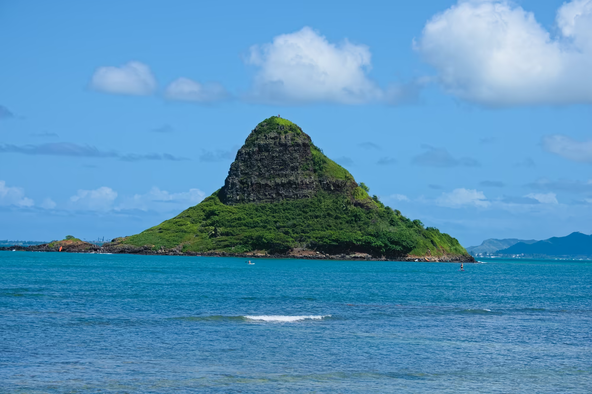
Where the valleys open, at Kualoa, the mountains change character: they rise in vertical green flutes, ridge beside ridge, with narrow gullies in shadow between them, so regular that the whole slope looks pleated. Below them a small car park and a stretch of mown grass hold a handful of cars, with palms standing in rows against the cliff. A third of a mile out in the bay stands the islet of Mokoliʻi, a cone of dark layered rock with a green base and a green cap, about 60 metres high, with two paddlers and a small orange boat at its foot and two tiny figures on the summit. Hawaiian tradition calls it the tail of a lizard killed by the goddess Hiʻiaka; its English name is simply what it looks like.
Kailua and Lanikai
The afternoon crosses the island. The road leaves the windward plain at Kāneʻohe, climbs the Koʻolau and comes down on the other side, and the bay below it has the shape of a flooded crater, which is what it is: the largest sheltered body of water in the main Hawaiian Islands, with patch reefs under clear water and a low peninsula on its eastern side.
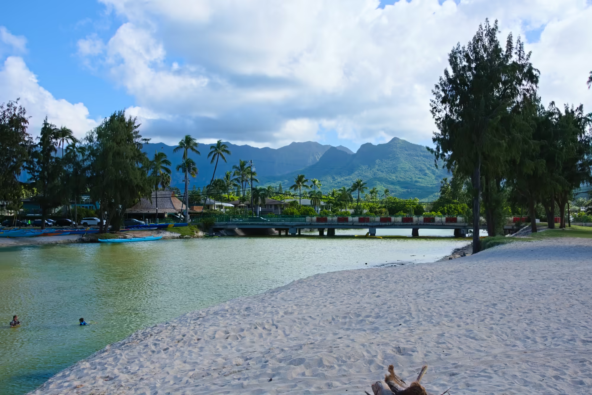
At Kailua and Lanikai, on the south shore of that bay, the water is warm and shallow for a long way out. A man stands on a paddleboard with a small child crouched at the front of the board, two swimmers have only their heads above the surface, a red kayak and a yellow one cross the chop, and a blue tarpaulin has been rigged as a shelter on the rocks at the edge of the bay. Offshore lie the two seabird islets of Nā Mokulua, one green and double peaked, the other lower and flatter, both ringed with white surf. Two white domes stand on a low headland across the water, and the bay between runs turquoise over sand and deep blue further out.
Makapuʻu and Mānana
The south east corner of Oʻahu is dry, windy and empty. The road runs along the coast below Makapuʻu Point, where a paved service road climbs the ridge to a lighthouse and the view south takes in an islet with a sheer tan cliff on one side and a rounded green slope on the other, standing alone in deep blue water with a pale sand spit at its base and dark boulders in the foreground.
Between the point and Koko Head the coast is all rock and little coves, with water clear enough to see the bottom and a scatter of small boats and surfers working the few accessible beaches.
Hanauma Bay and Hālona Cove
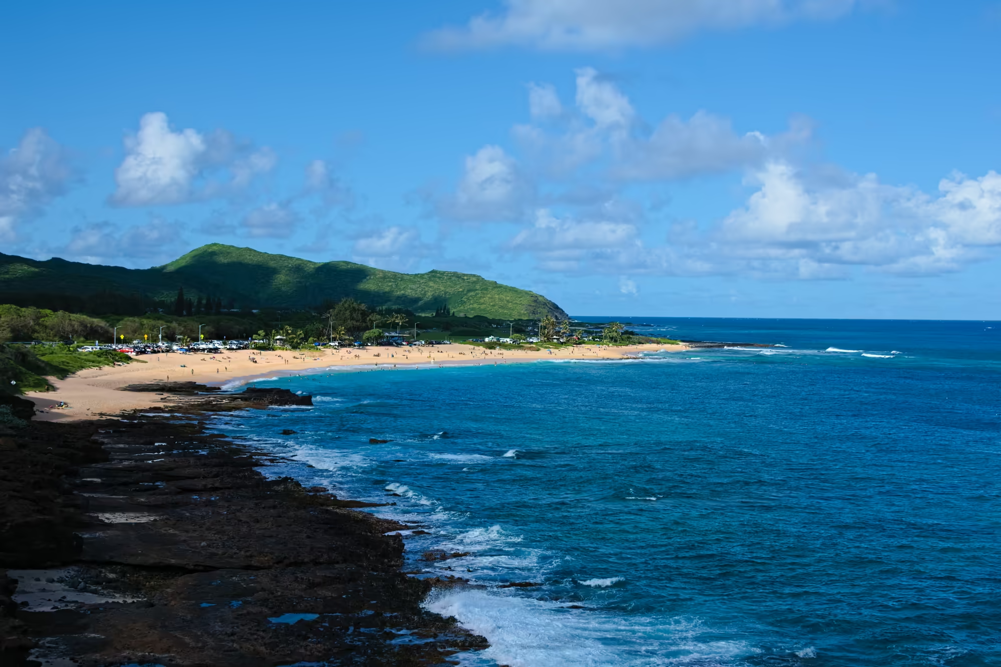
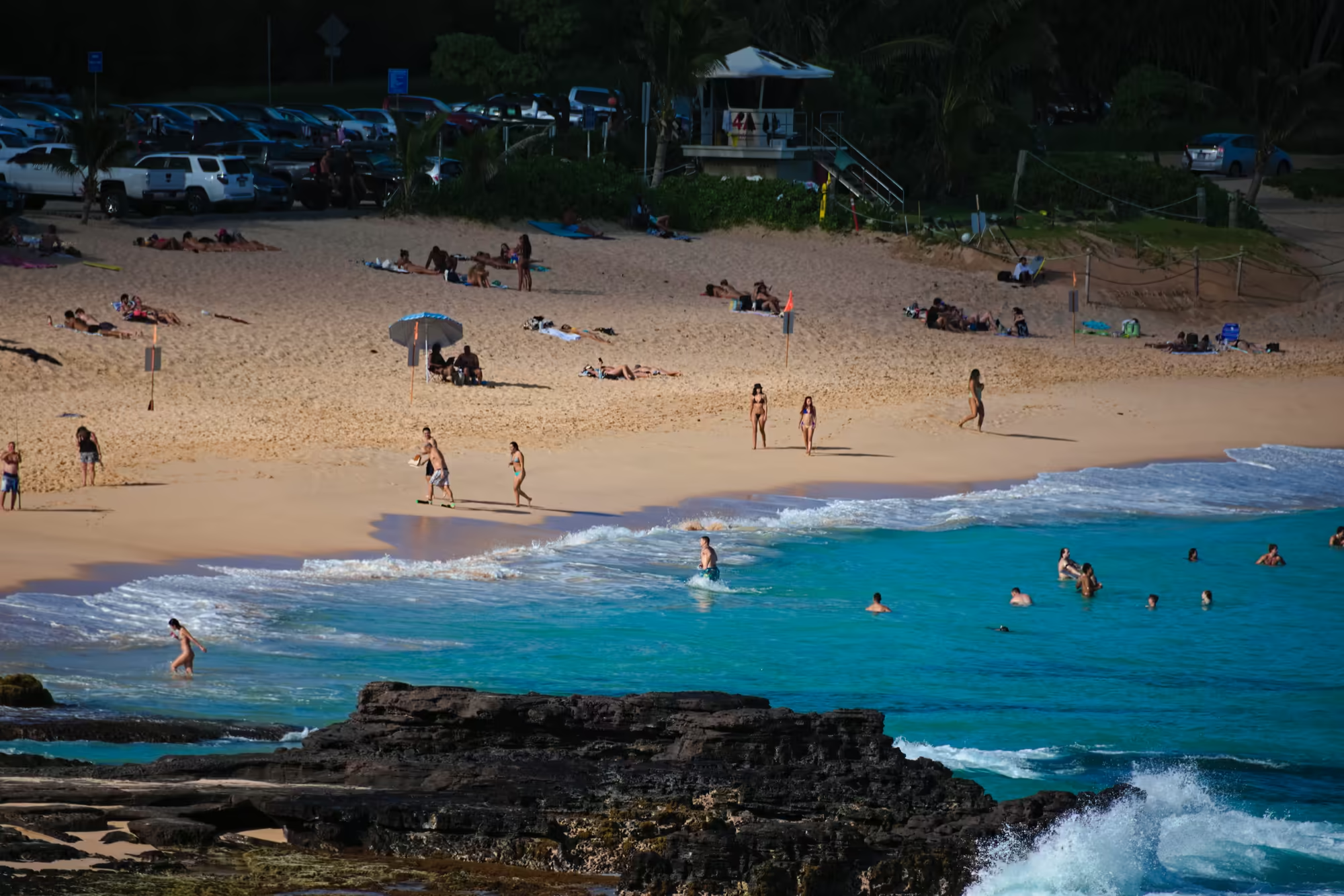
Hanauma Bay is the picture of a tropical bay: a wide crescent of pale sand inside a ring of low volcanic hills, the water turquoise over the reef and deep blue beyond it, dark lava rock at the western end with the surf breaking against it, and the whole of the sand and shallows full of people. Cars stand along the road behind the beach and the green ridge of the Koʻolau closes the view inland. It is a crater ring breached by the sea, and since 1967 the first marine conservation area of Hawaii.
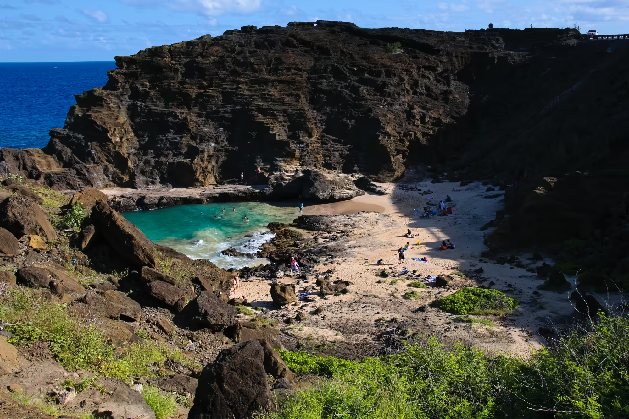
A few hundred metres west the coast changes again. Hālona Cove is a small pocket of sand pressed into dark layered cliffs, with a natural rock barrier holding off the worst of the swell, swimmers and snorkellers in water so clear that the bottom shows through.
Koko Head and the Way Home
The last stop of the afternoon belongs to Koko Head. Above the coastal road the crater rises, the largest of the tuff cones of the Honolulu series, its slopes covered in dense low scrub. Straight up the flank, without a single turn, runs the old military railway: more than a thousand sleepers, now a stairway used by hundreds of people every day, with tiny figures spread along its whole length and a few more at the top beside the bunkers and the sign. From the rim the view runs back along the coast to the towers of Honolulu on the horizon.
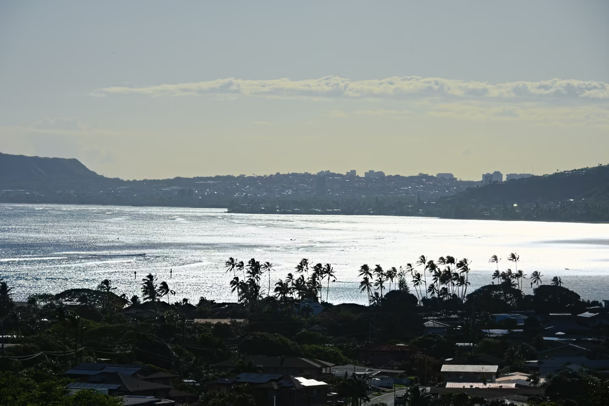
The return road follows the sea west through Hawaii Kai, Niu and Kahala, with the water on the left and the mountains coming closer, and then turns inland into the city. The day ends at the food wagons and small restaurants of the Honolulu districts, and finally back at Waikīkī, where the lights of the towers are once more reflected in the calm water of the canal.
The Day in Numbers
The loop covers 252 kilometres between the departure shortly after six in the morning and the return to Waikīkī at seven in the evening, with 322 metres as its highest point on the crossing of the Koʻolau range. 27 pauses of four minutes or longer break the driving, the longest of them 27 minutes.