2026 Hawaii 2 - Oʻahu
27 September 2026


























Journal Notes
A second day on Oʻahu begins on the sand at Waikīkī before the hotels are out of bed and ends on the same beach in the last of the evening light. The route runs the other way round the island from the first day: east first, past the cliffs at Hālona and Makapuʻu Point, then north along the windward shore by Kāneʻohe, Heʻeia and Kualoa, across the North Shore and the central plateau, and back down the Waiʻanae coast to the city. Between the two ends of the day lie 261 kilometres of road and, between the calm of the hotel shore at twenty to eight in the morning and the sun going down behind the boats, a coast that changes character four times.
Waikīkī in the Early Sun
At twenty past seven the beach at Waikīkī is almost empty. Deep blue water fills the lower half of the view, lightly rippled and scattered with glints of morning sun, and behind the narrow band of sand and a line of leaning palms stands the wall of the resort: a pale block of balconies in the centre, an older pink complex on the right, and above them nothing but blue sky.
The plan for the day is the reverse of the first one. The road leaves Waikīkī to the east along the beachfront avenue, with Diamond Head closing the view at the end of the sand, and rounds the dry south eastern corner of the island, where the hotels give way to cliffs. After the last houses the coast road runs between the water and the mountain on a shelf of rock.
The Hālona Cliffs and Their Coves
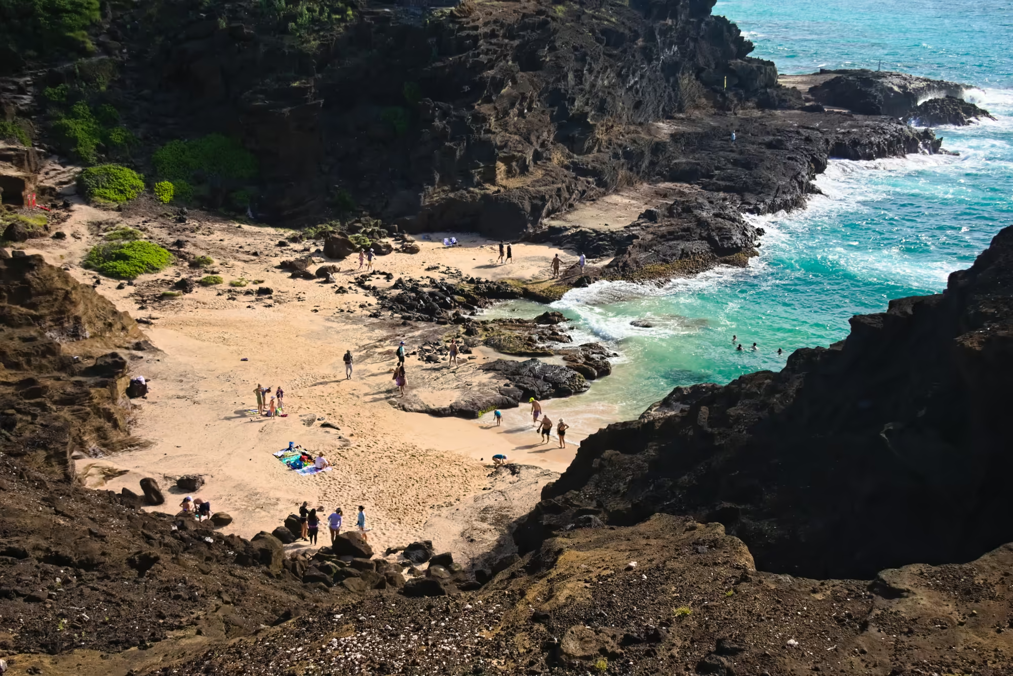
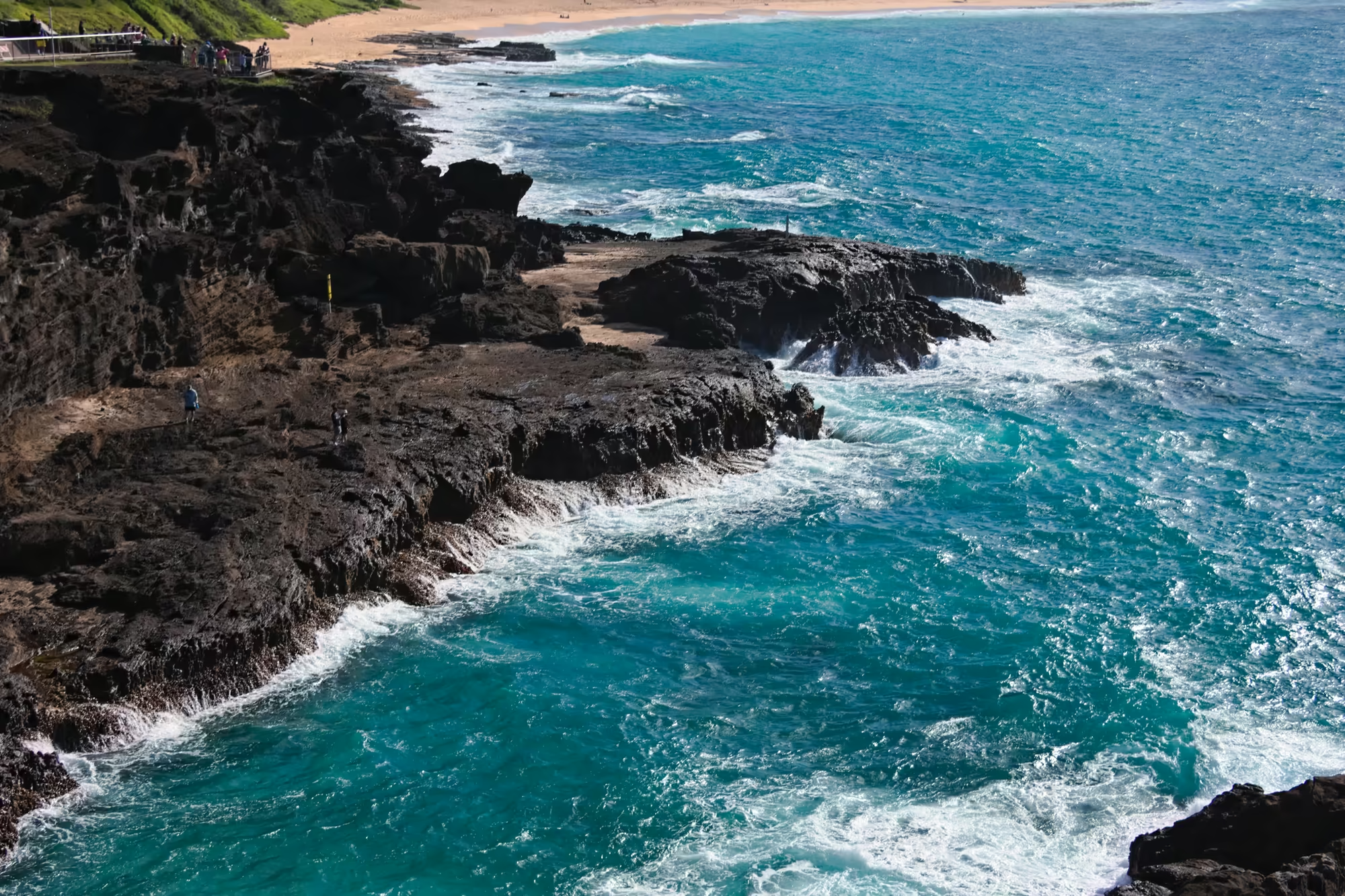
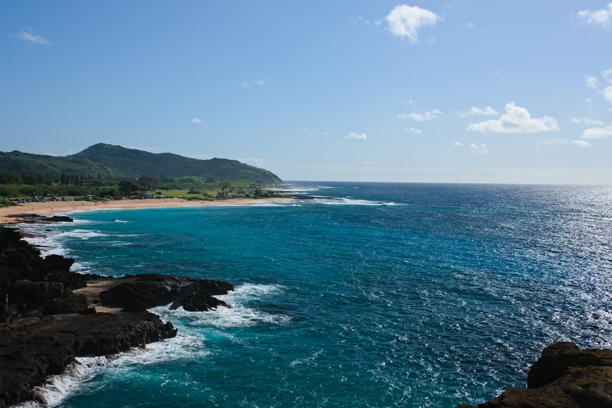
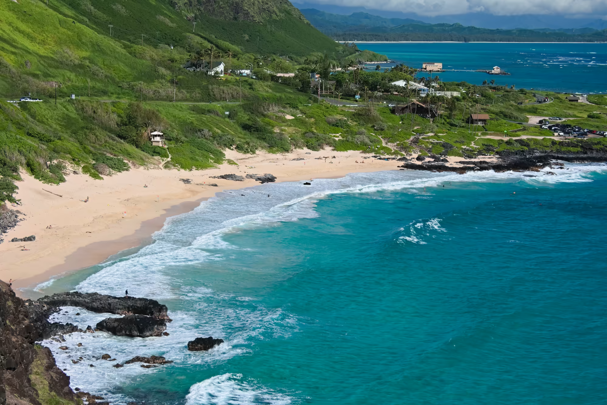
The south eastern shore of Oʻahu is a wall of dark basalt, and at Hālona the sea has worked a tube through the lava, so that a heavy swell is thrown up through a hole in the shelf in a white column. In Hawaiian the name means lookout, and the point earns it: from the ledge above the blowhole the whole coast is laid out, a crescent of tan sand in a pocket between dark volcanic walls, clear turquoise water over the sand, and the surf breaking white along the point on the right.
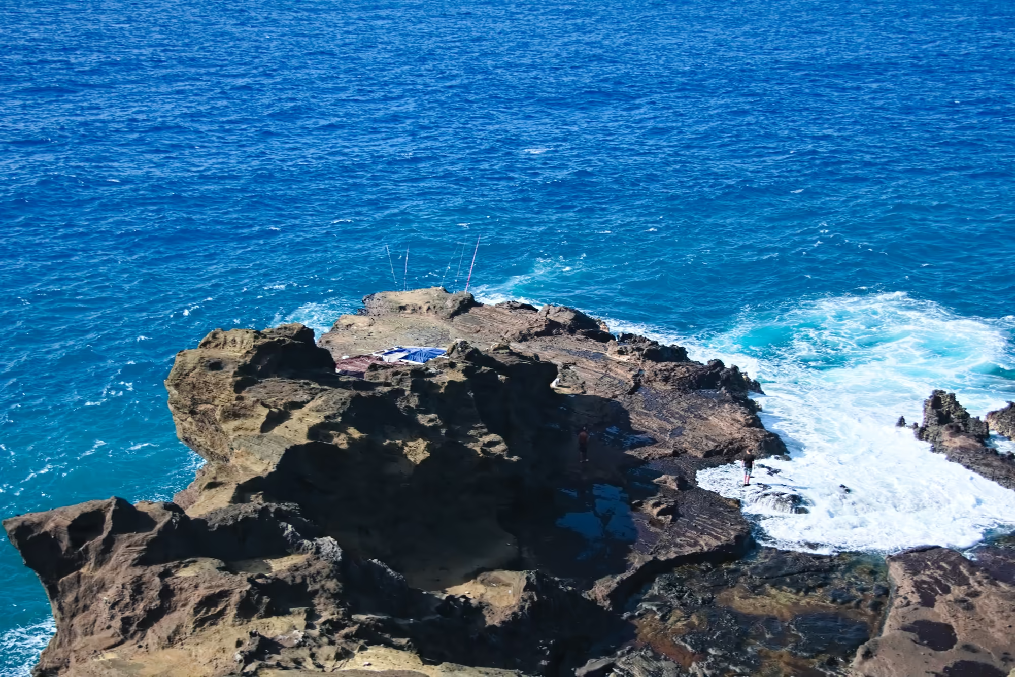
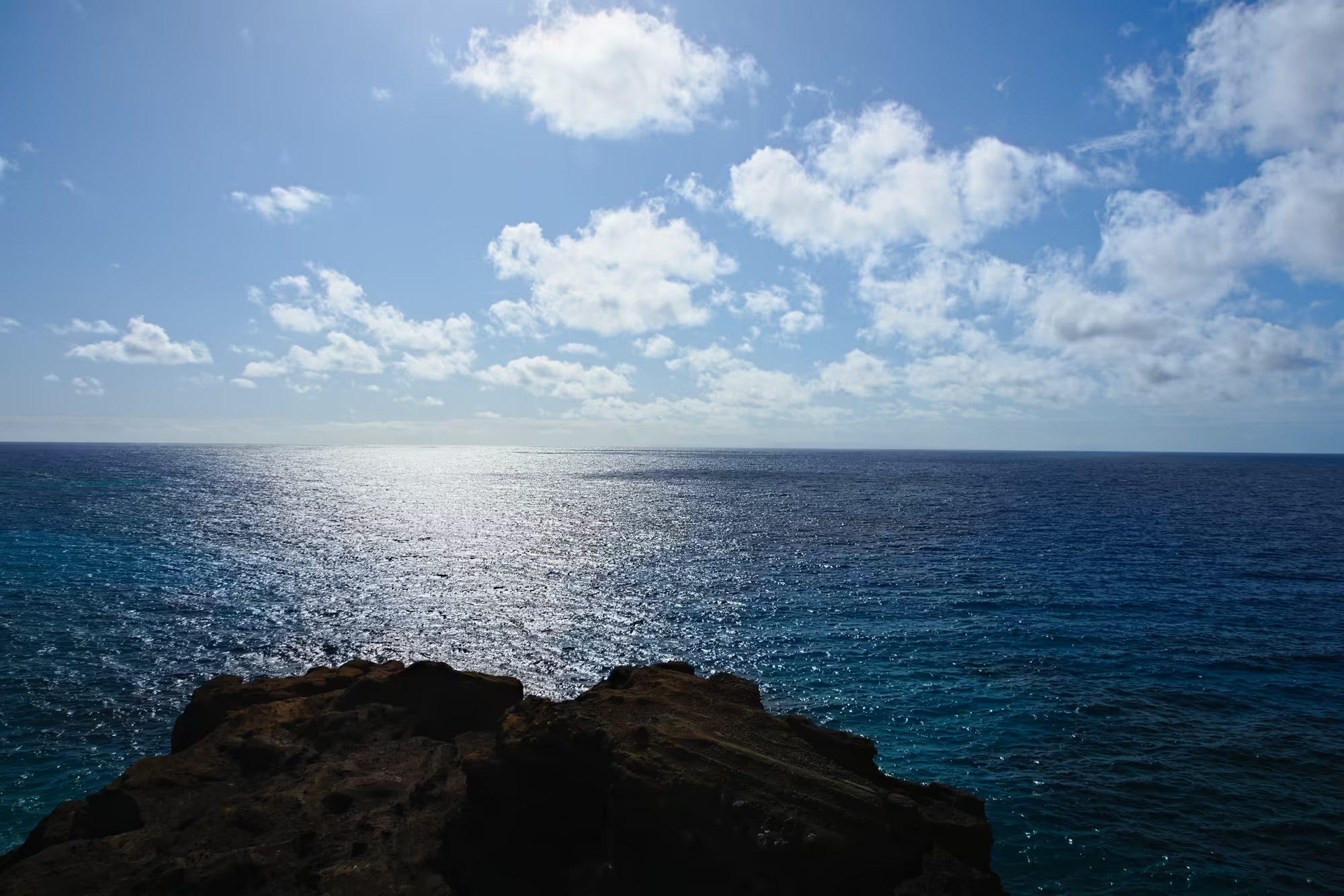
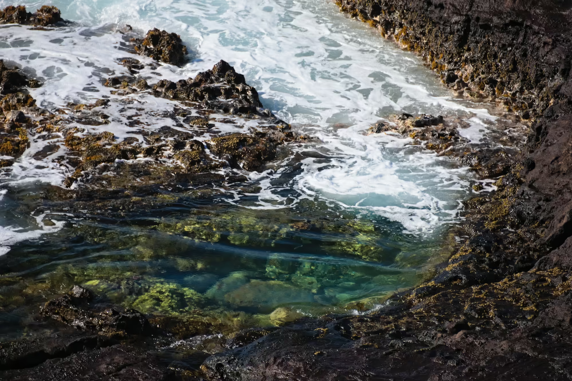
The rock is the first subject of the morning. Flat-topped shelves of layered lava reach out into deep blue water, and each wave that runs out of depth spreads into a band of foam across the stone; under one outcrop the sea has cut a shadowed recess where it has undercut the base. A massive headland of jagged black basalt juts into bright turquoise water and is ringed with churning white foam. In the cove the water is shallow enough to show golden sand and scattered black boulders at the waterline, with green shrubs growing out of the cracks in the cliff above.
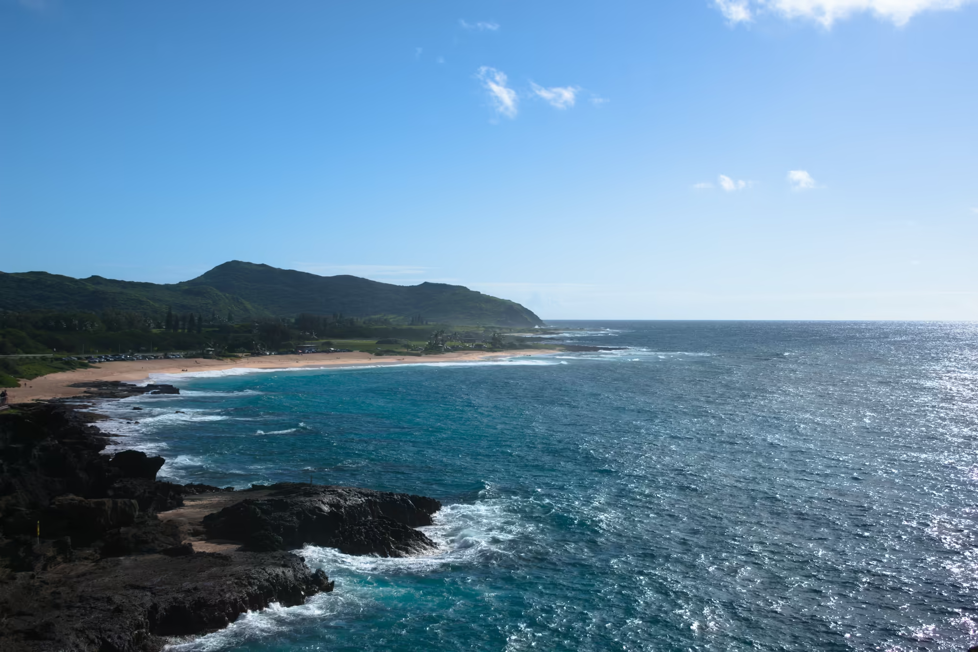
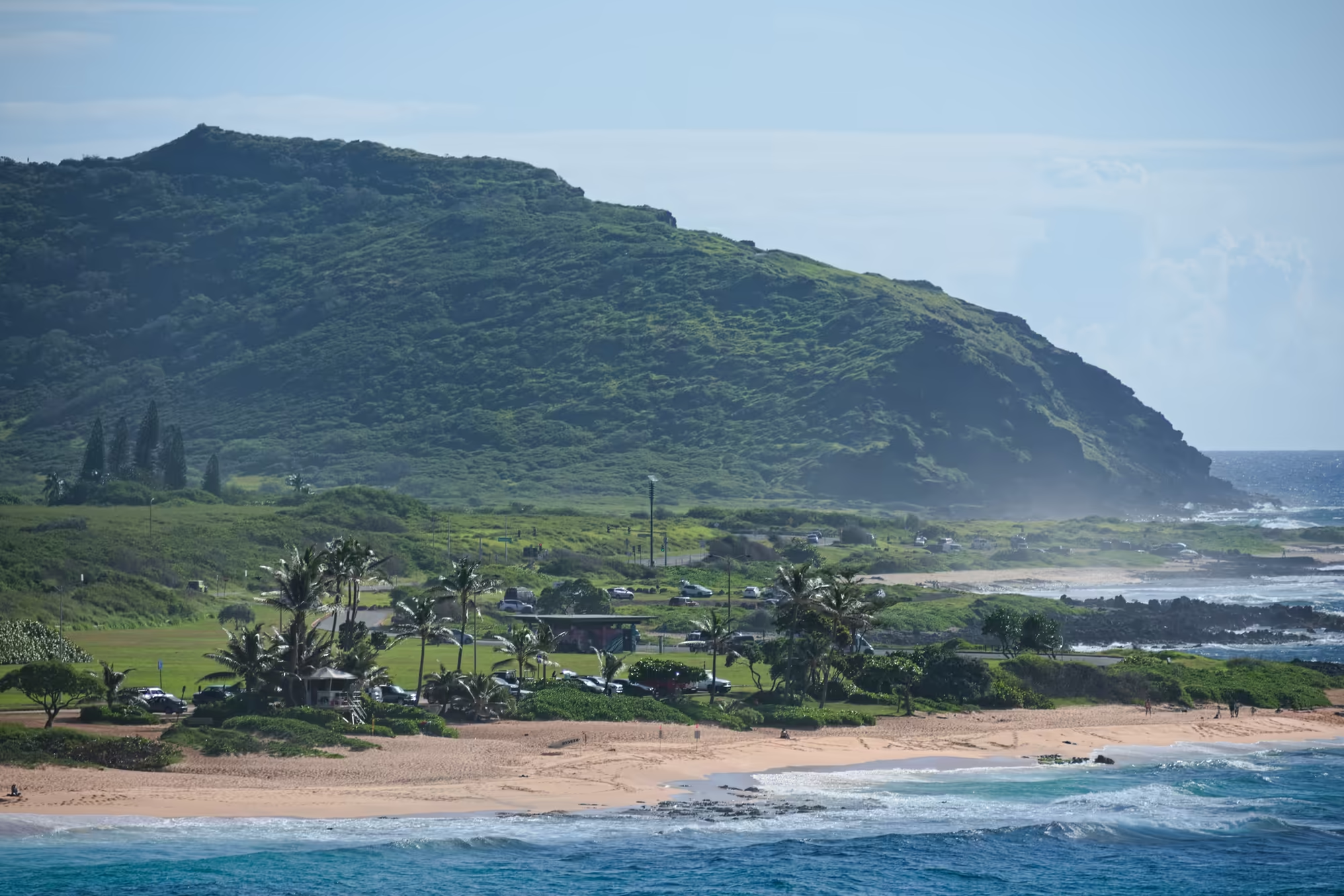
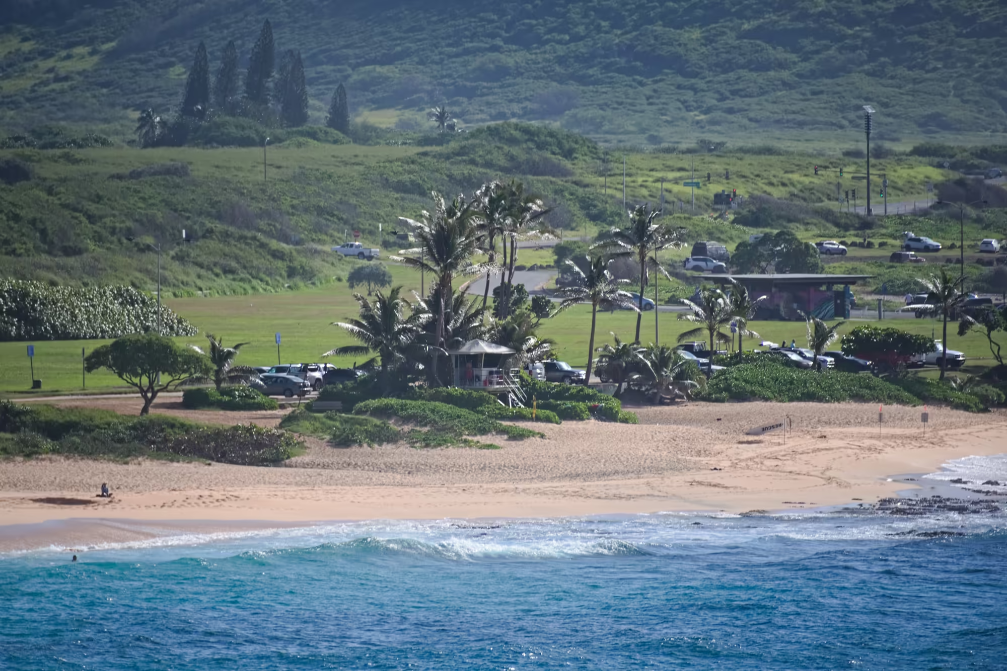
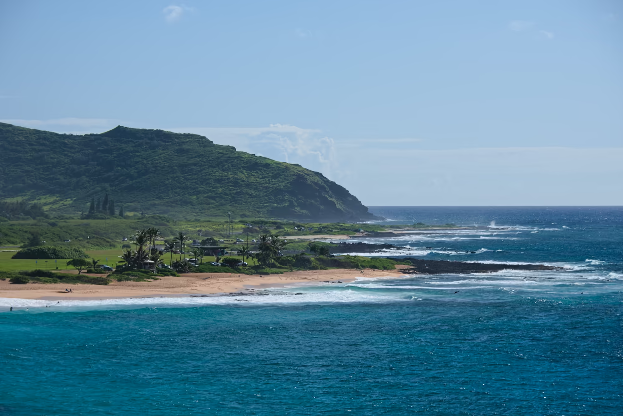
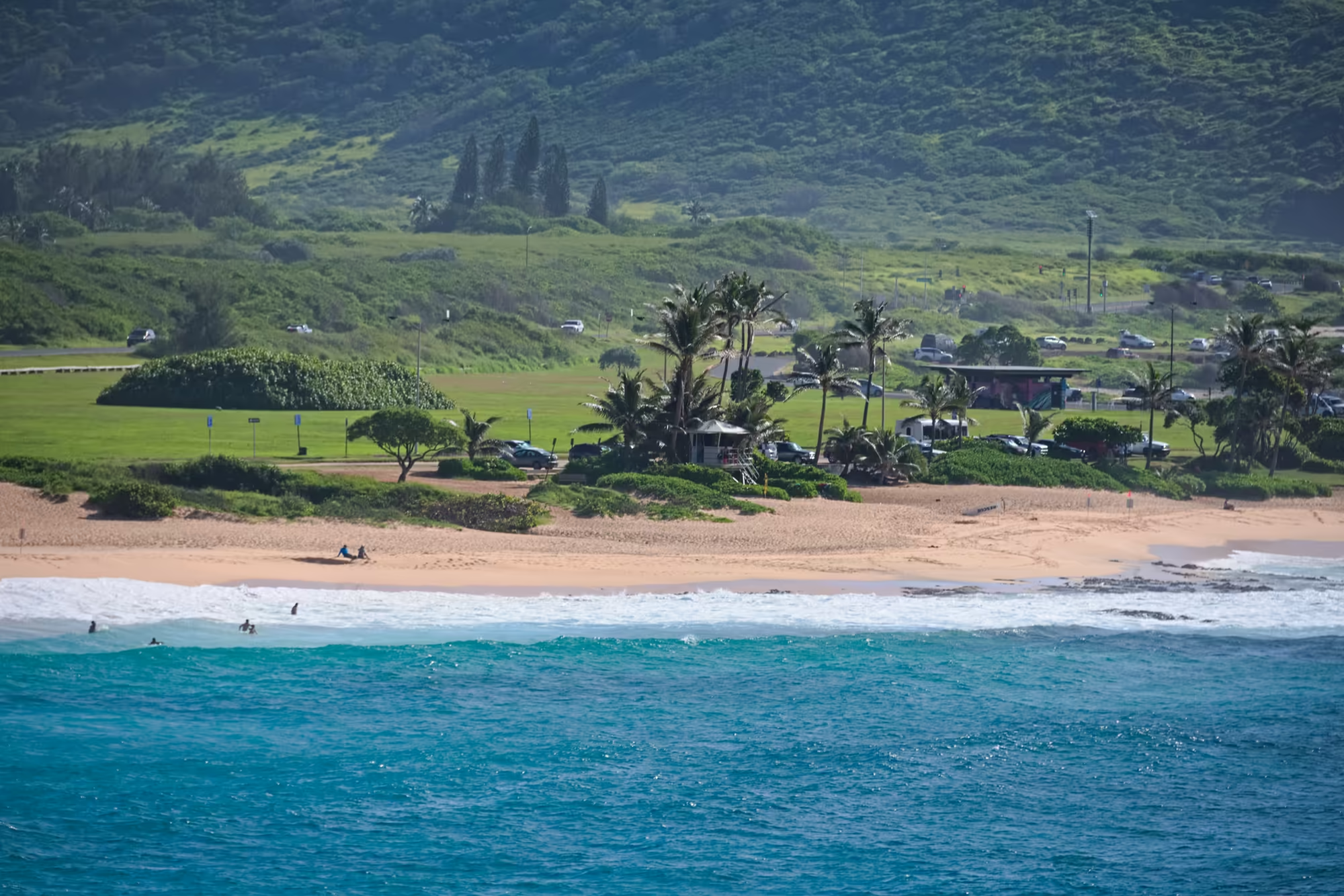
A little further on the coast opens into a long beach. Rows of whitewater run in parallel lines across the shallows, the foam spreads over dark rock in the near foreground, a row of parked cars lines the road behind the sand, and the sun glints across the open water beyond. Behind the beach a steep, densely vegetated mountain rises straight out of the park, with palms and a parking area between the sand and the green slope. In one of the deeper pools a sea turtle glides just under the surface, its front flippers spread and sunlight rippling across the dark mottled shell.
Makapuʻu, the Bay and the Islets
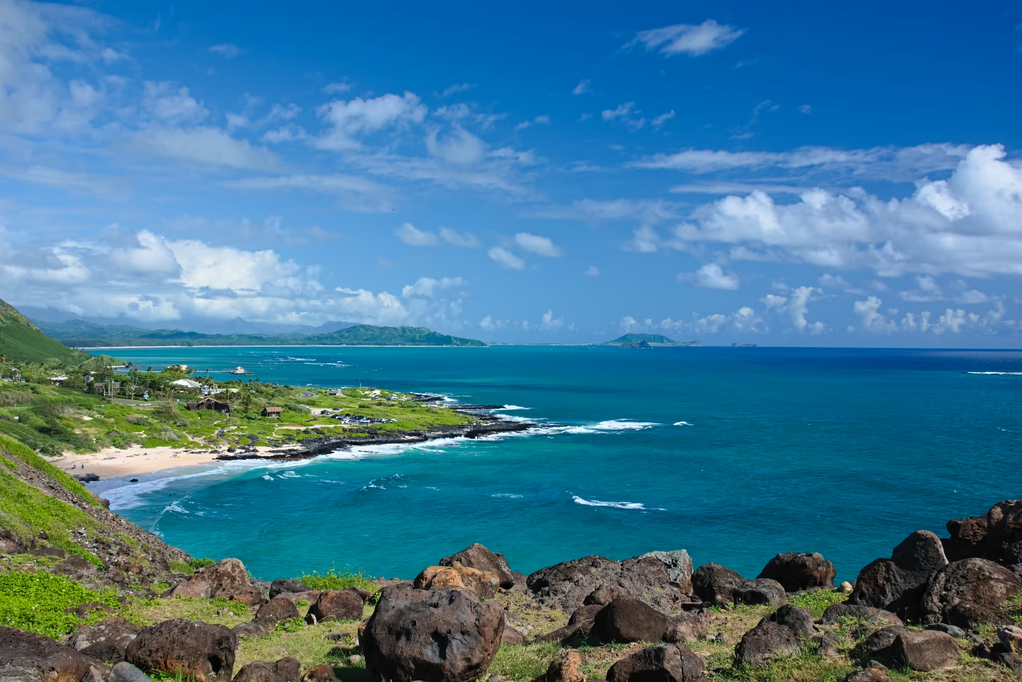
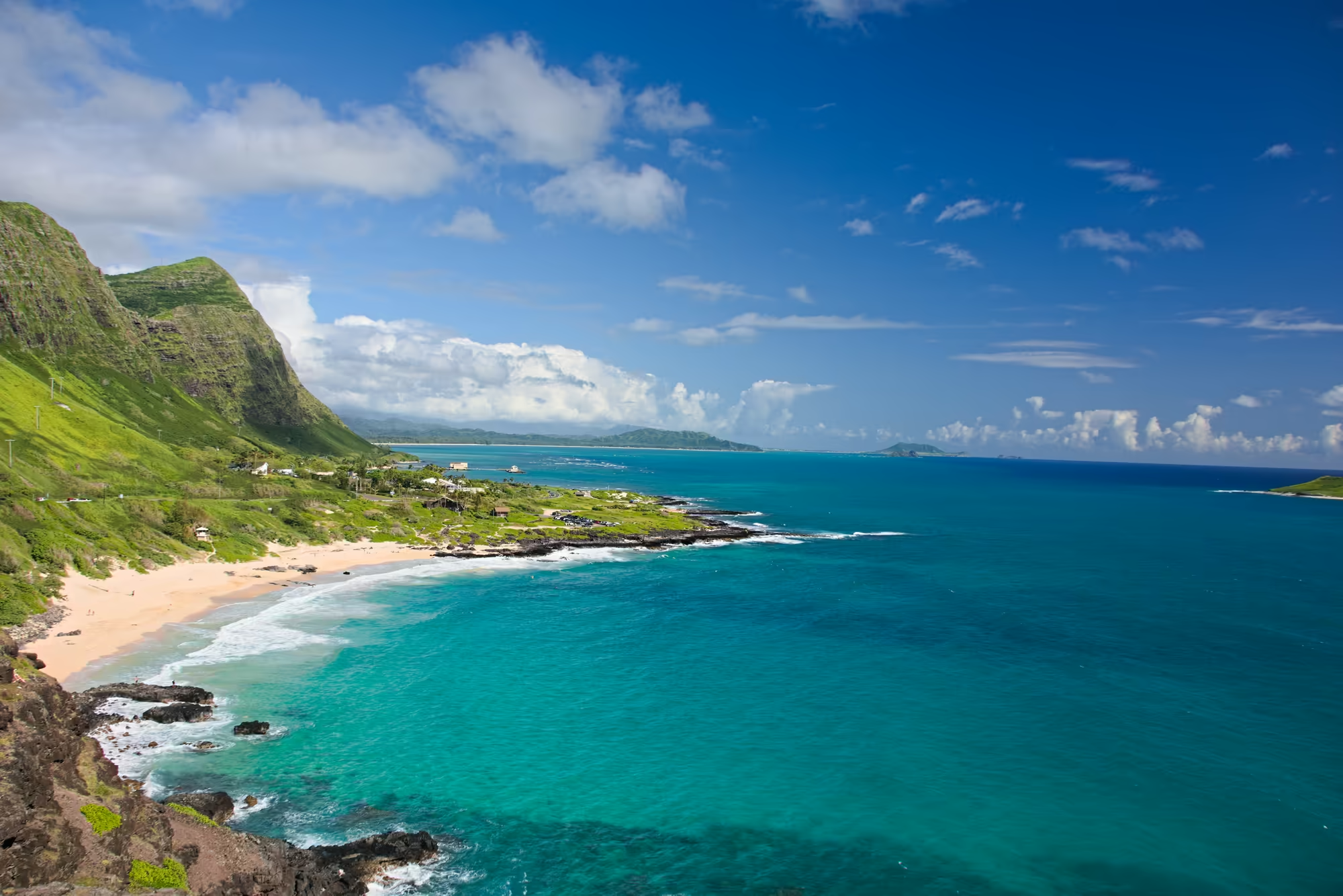
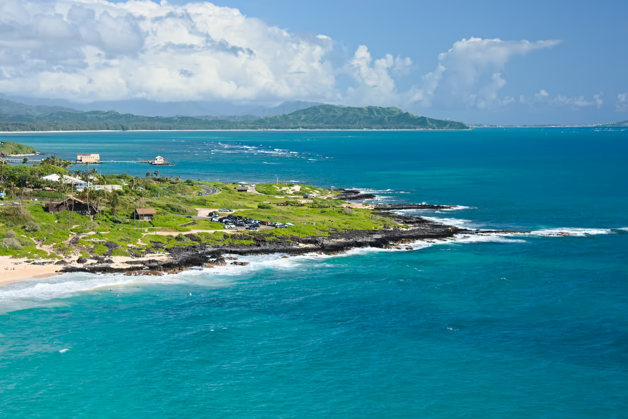
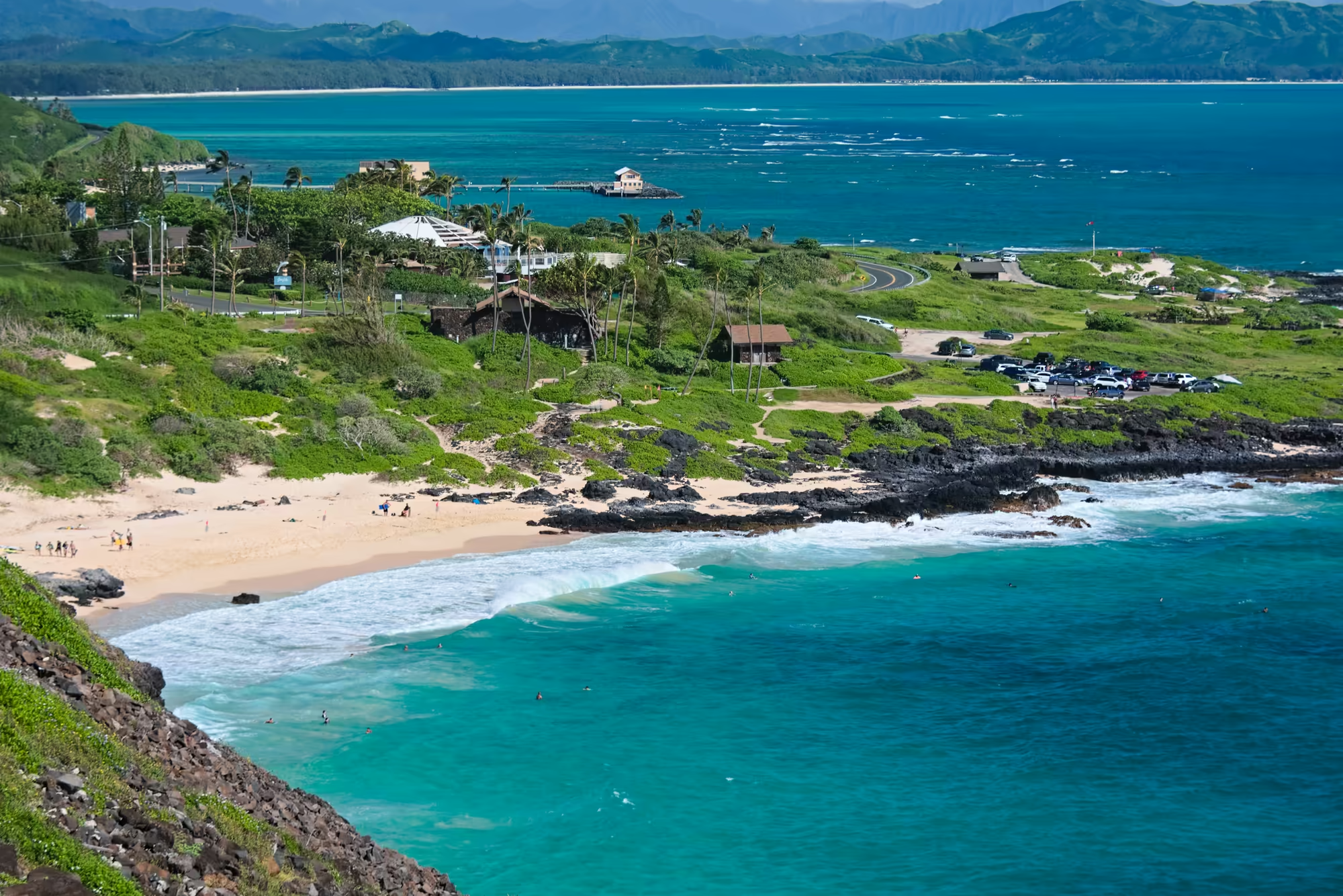
The road climbs to the eastern tip of the island at Makapuʻu Point, the remnant of a ridge that rises about two hundred metres above the sea, where a lighthouse stands on the cliff. The name means bulging eye, and the lookout above the highway presents the whole coast on a clear morning: a steep, deeply furrowed green ridge above a curved bay of pale sand, dark lava at the waterline, white cloud drifting over a blue sky, and lines of surf breaking around black rock at both ends of the beach.
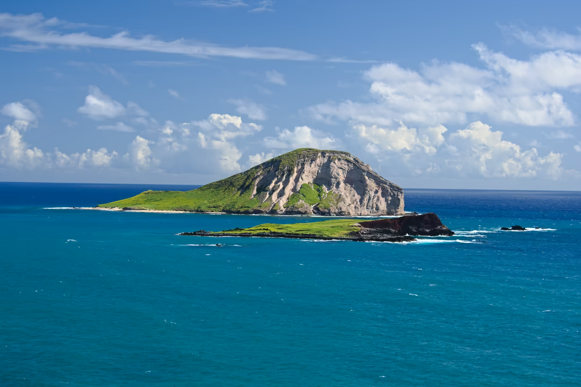
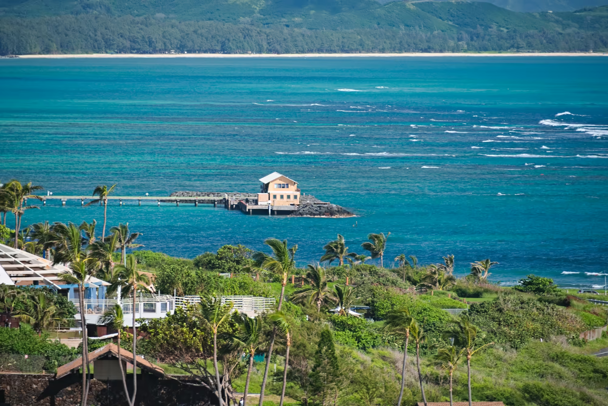
Two bare volcanic islands stand offshore in deep blue water, the nearer one low and dark above a shelf of black lava, and a flat islet lies where the water turns from turquoise to deep blue. Below the road the bank is strewn with heavy dark boulders between short grass and low herbs, and palms and broadleaf trees crowd the slope above the water; roofs and low buildings sit among the green cover, cloud rests on the upper ridges, and the light over the layered peaks stays soft.
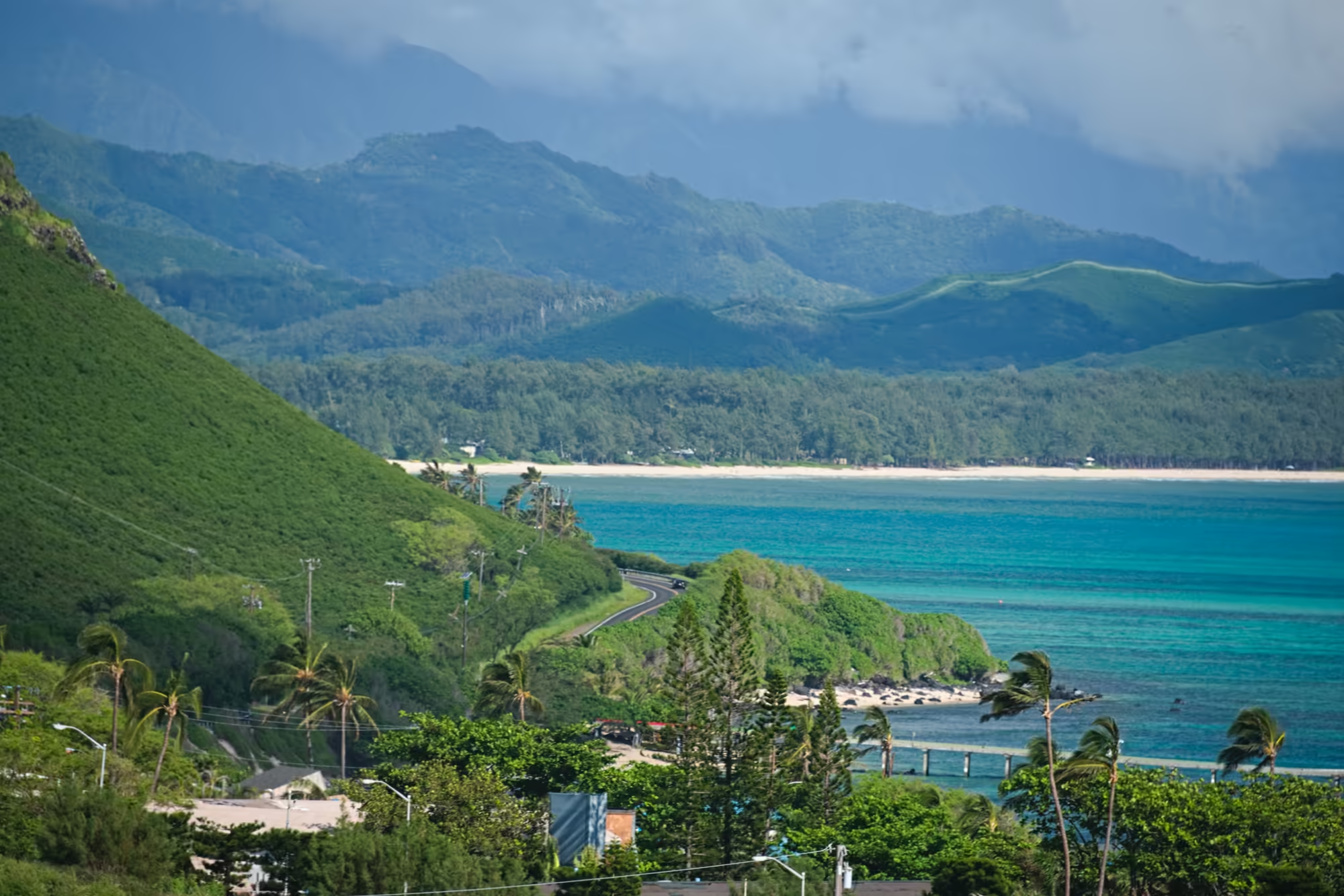
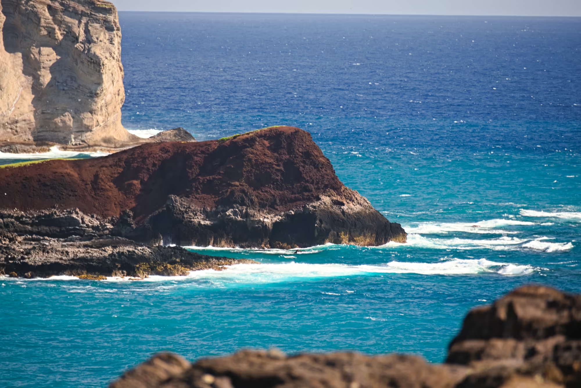
The highway then turns south and leaves the windward side for good. At the last headland a dark, red-brown volcanic point stands above foaming reef water with a pale cliff face rising behind it, and the coast bends away toward the plain on the other side of the island.
Kāneʻohe and the Windward Plain
The windward coast is the wet half of Oʻahu, and it announces itself as soon as the road turns north: the dry grass and bare rock of the south east give way to green on both sides of the highway, with the water on the left and the ridge of the Koʻolau range on the right.
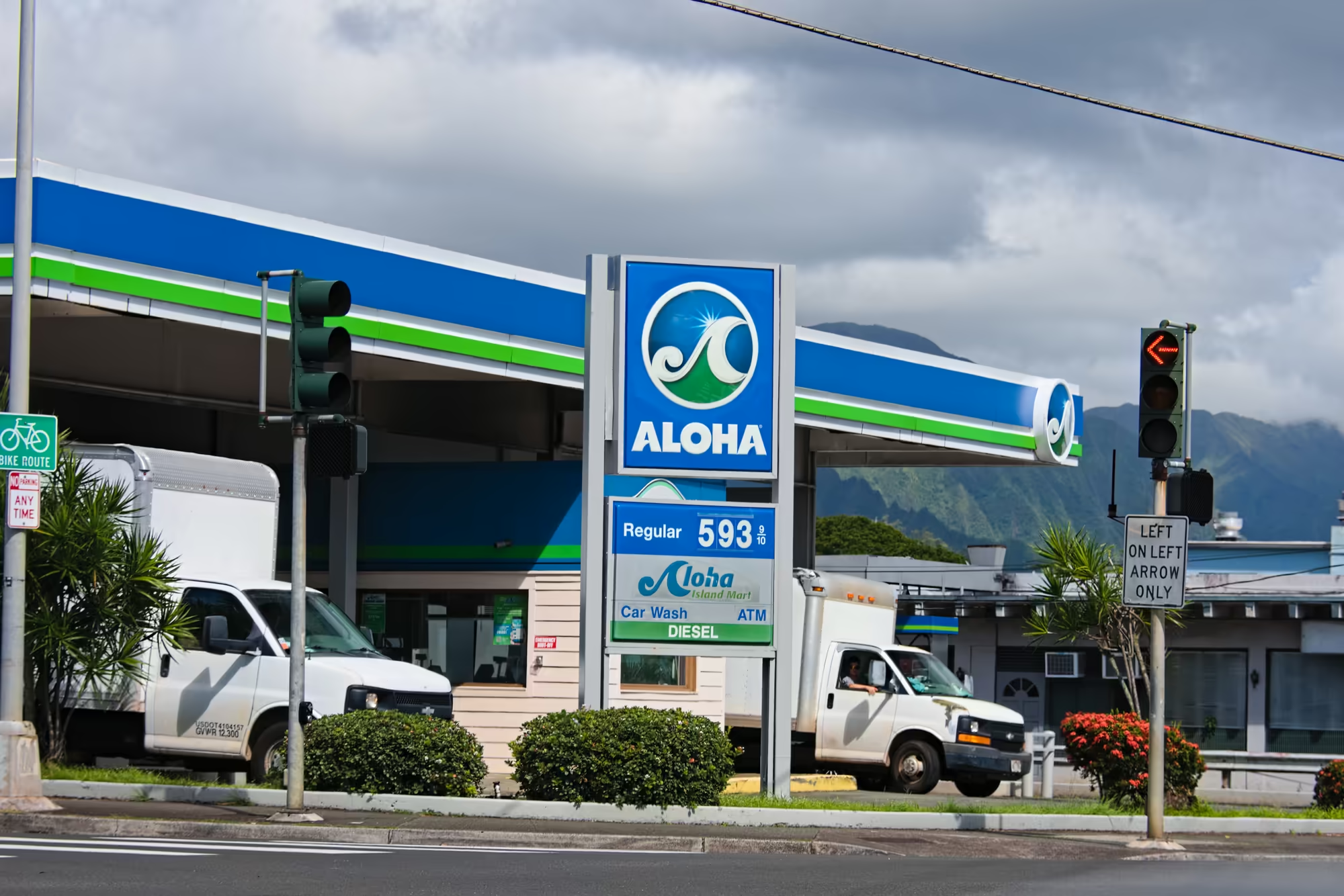
Kāneʻohe Bay is the largest sheltered body of water in the main Hawaiian Islands, a shallow, reef-filled embayment of some forty five square kilometres, and its shores carry the largest population centre on this side of the island. In Kāneʻohe the morning’s business is a fuel stop: a tall blue sign with posted prices above a paved forecourt and trimmed hedges beside the road, traffic lights at the junction, and beyond the utility wires and rooftops a green ridge climbing steeply into grey cloud.
Heʻeia, the Fishpond and the Bay
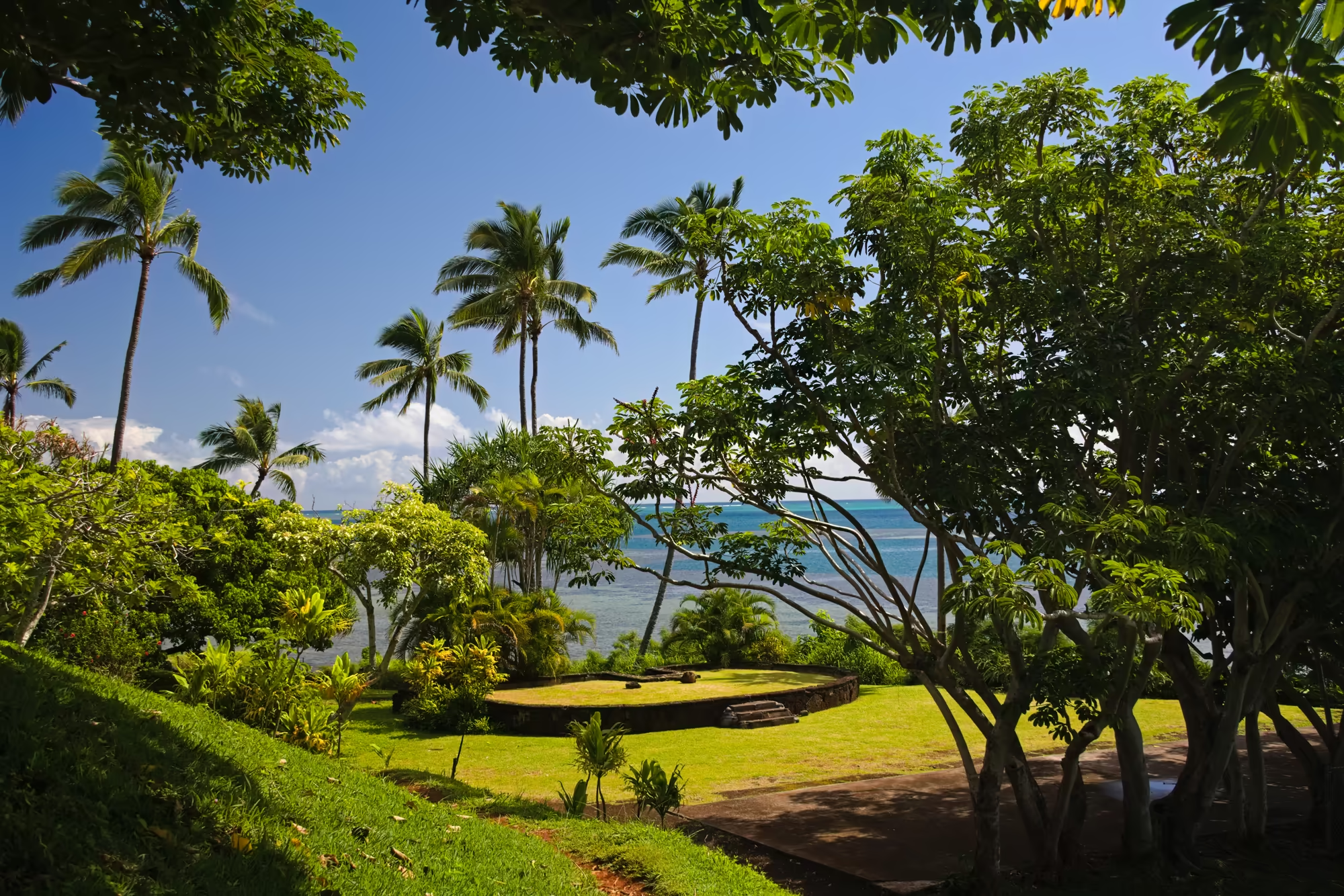
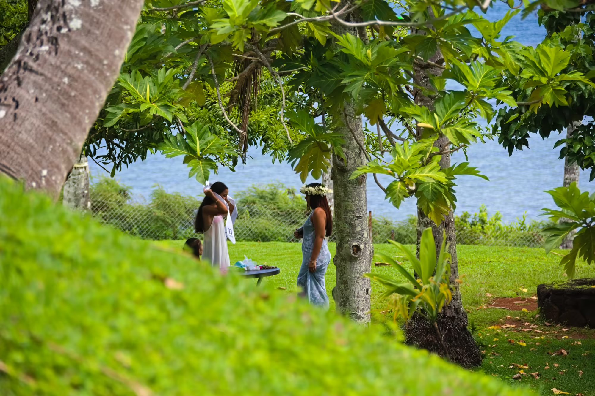
Heʻeia lies just north of Kāneʻohe, a scattering of neighbourhoods whose name, washed away, remembers a battle decided by a wave. Above the shore a mown lawn runs down to the water, and on it stands a low platform edged with dry-stacked dark stone and reached by a short flight of broad steps; coconut palms and leafy trees frame the slope, and below it a line of white foam breaks over the shallow reef. No plaque explains the platform, and the grass grows over its top exactly as it grows over the lawn around it.
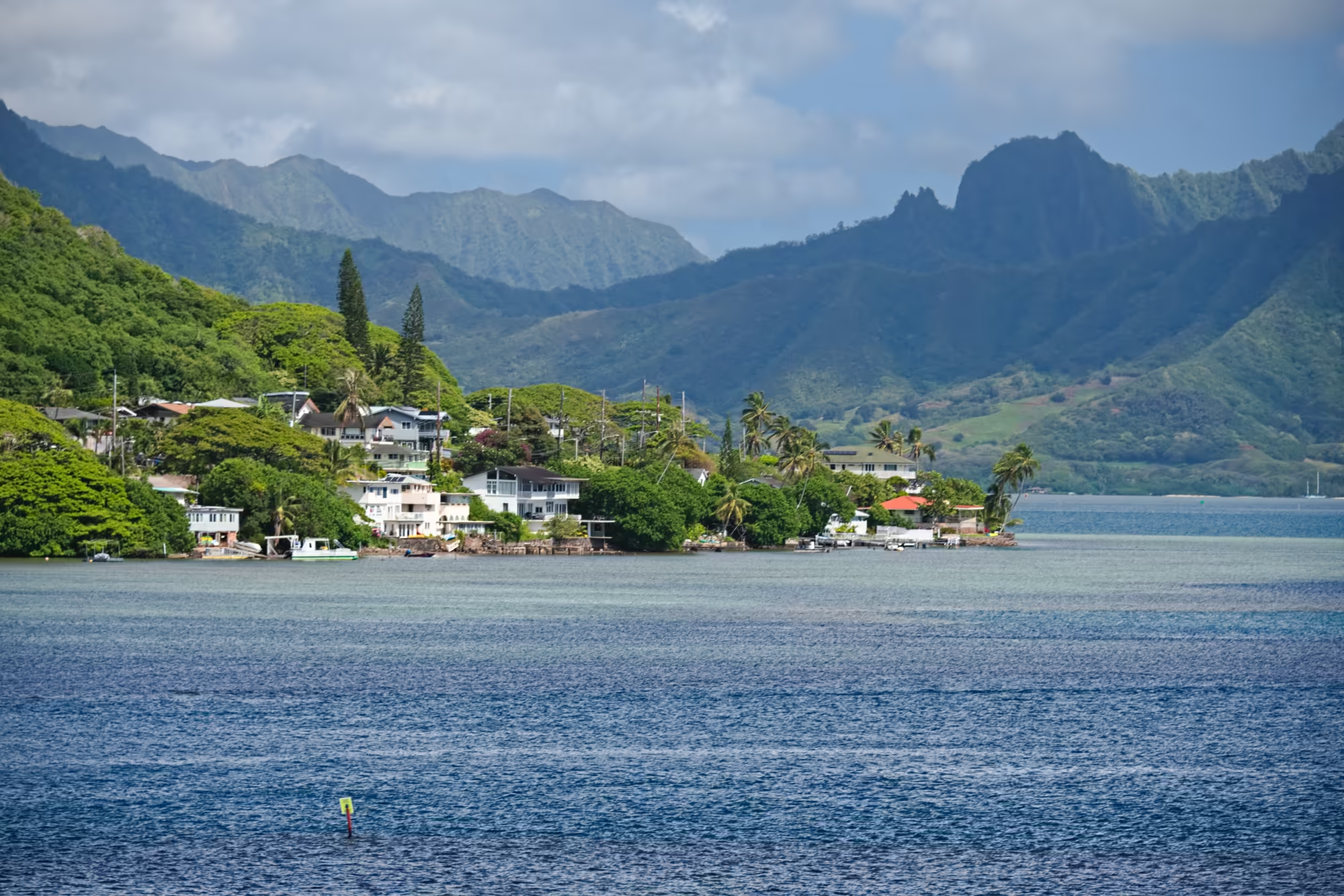
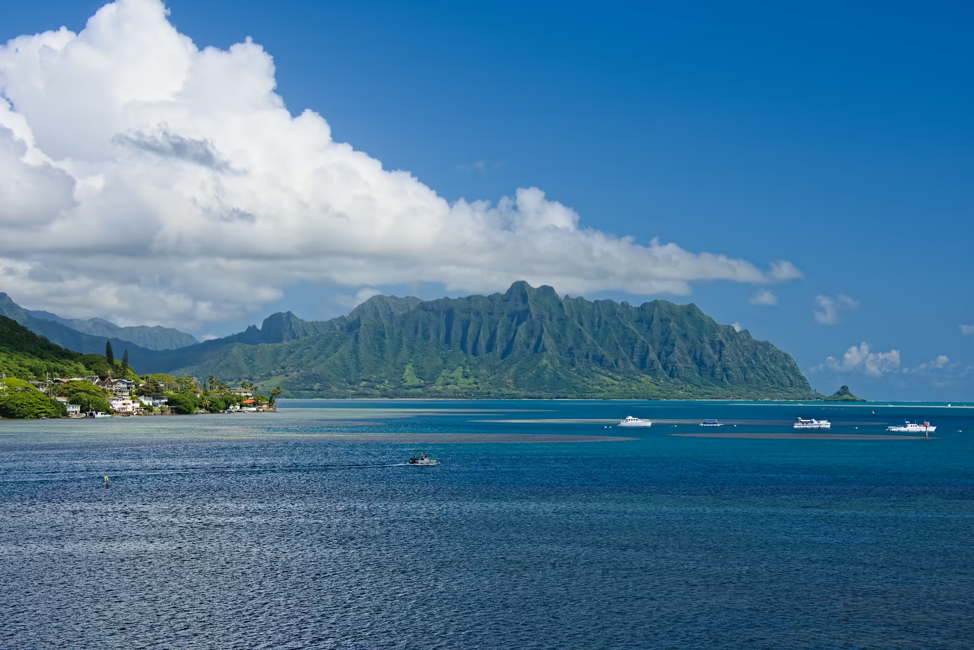
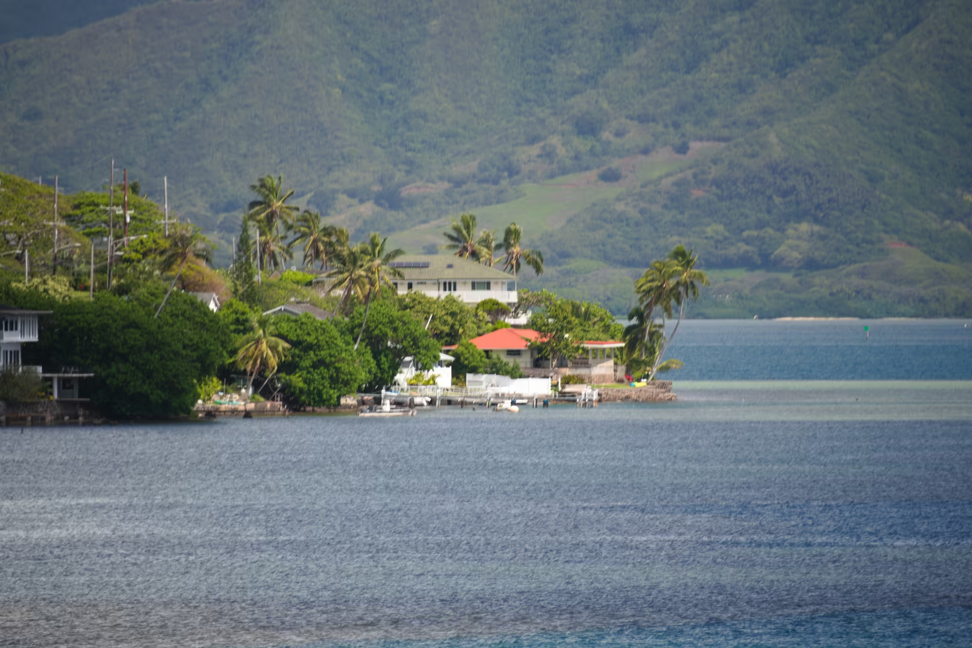
The bay beyond is busy with small boats. A single yellow buoy floats on rippled blue water in front of a shoreline of pale houses, moored boats and short piers, with the mountains rising in overlapping layers behind. A white cumulus cloud leans over the serrated ridge while a motorboat crosses dark water past the anchored boats; further out a sailboat with a tall mast lies over a mottled reef flat, and a continuous white line of breaking waves marks the edge of the shallows along the horizon.
On the calm side of the shore the fishpond wall runs out across the water, a long low line of stone carrying sheds, a canopy tent and a green building below the forested ridge, with patches of orange blossom showing in the trees above. Beyond it a white passenger boat with a blue stripe and a canopy deck rides at rest on deep blue water, and a row of houses and palms lines the bay with a small white boat moored offshore.
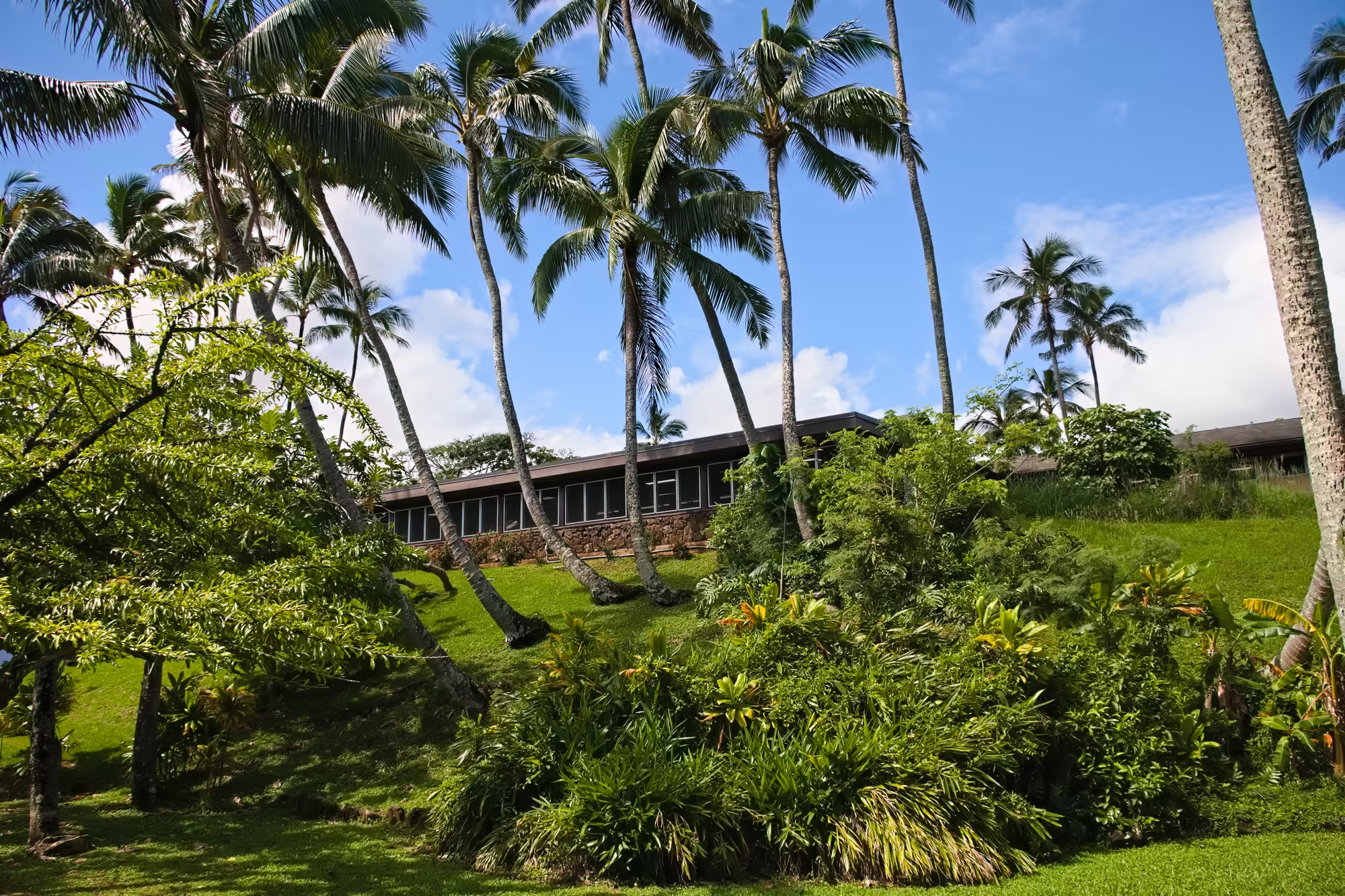
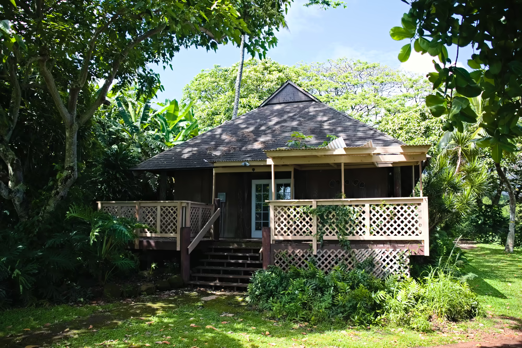
In the park the shade is deep: wide leaves over a mown lawn, a long building with screened windows standing on a rough stone base, a cottage with cream lattice railings behind the trees, a tabby cat sitting in the tall grass, and a green, unripe fruit hanging from a branch above the path.
Kualoa, the Beach and the Little Island
Kualoa is the green heart of the windward coast: a private nature reserve and working cattle ranch of four thousand acres, held since 1850 and known today for its film locations as much as for its herds. The public beach at its southern end is a strip of pale sand under broad shade trees, with coral fragments and pebbles strewn across the darker ground and thin lines of foam at the edge of the shallow shelf.
Behind the sand the ridge rises in the fluted wall that is the signature of this coast, its vertical grooves cut by the rain that runs off the Koʻolau crest. A wide mown lawn lies at its foot, dotted with coconut palms and spreading shade trees, with tents among the trunks and cars parked along the edge, and from the lawn the little island shows as a cone far out on the water.
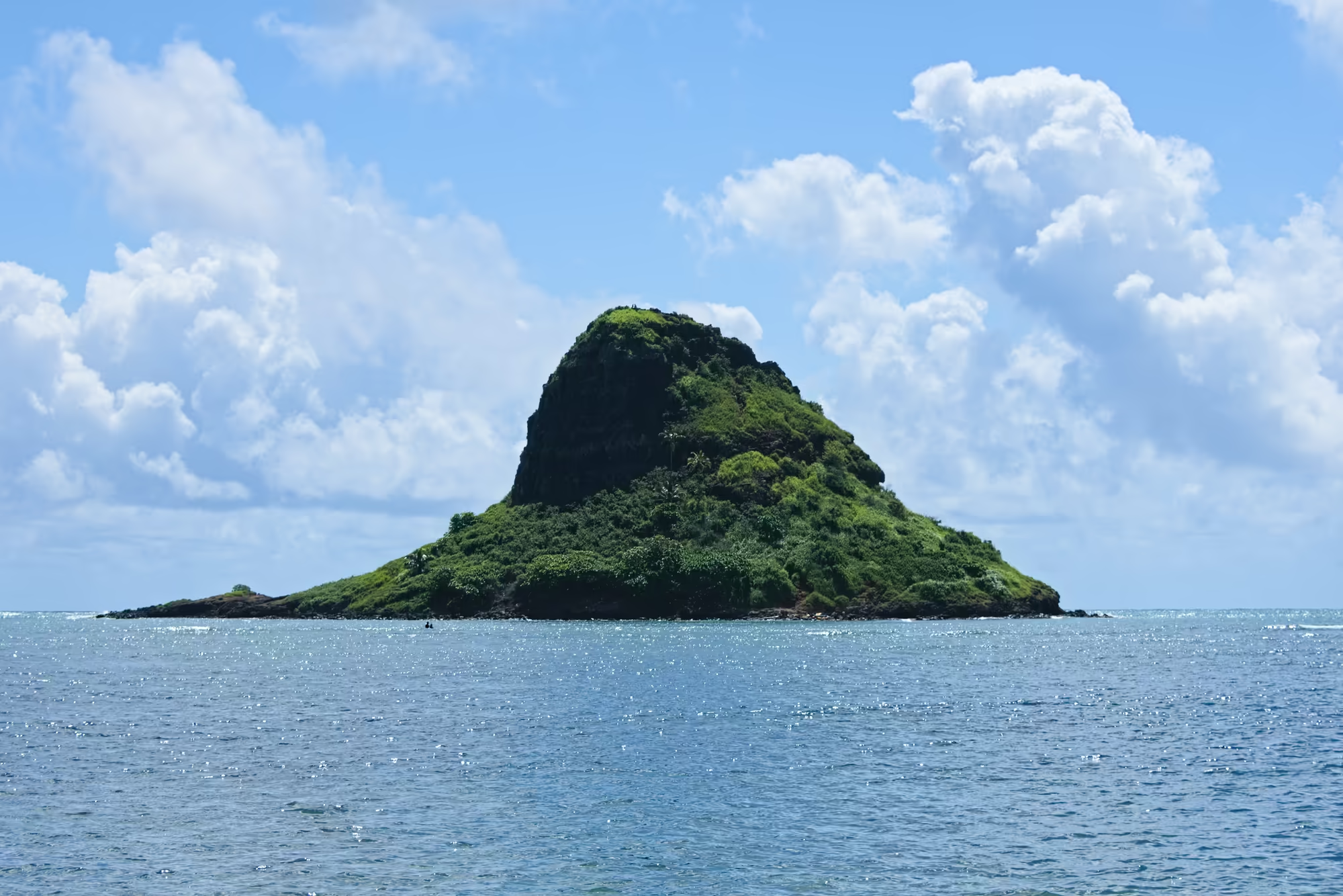
Mokoliʻi, better known as Chinaman’s Hat, is a basalt islet of five hectares lying half a kilometre off Kualoa Point and belonging to the regional park. It was once part of the ridge on shore and was cut off by the sea; today it is all green growth over dark rock, standing alone in deep water with a low rocky arm reaching out from its left foot and trade wind cloud gathering behind the peak.
Kaʻaʻawa and the Shore Below the Ridge
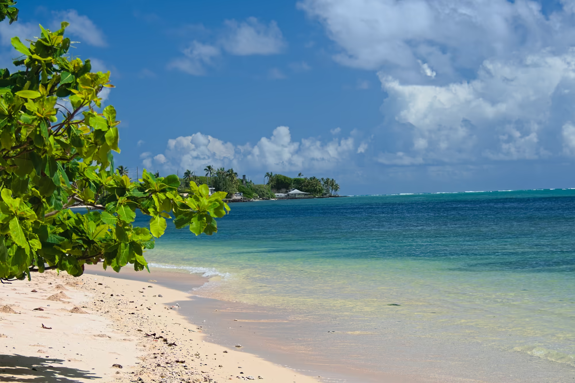
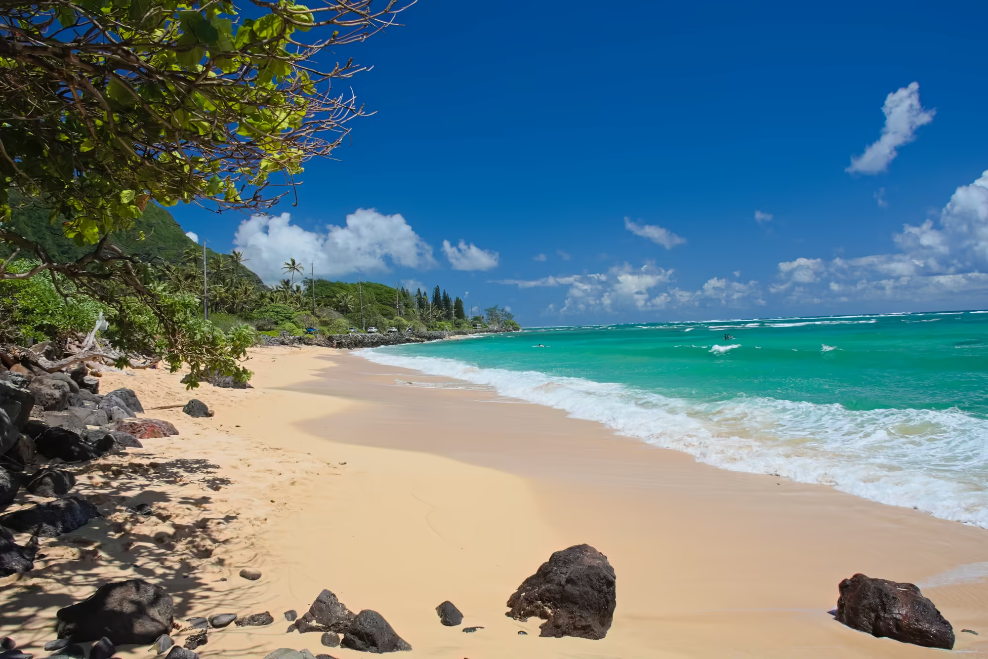
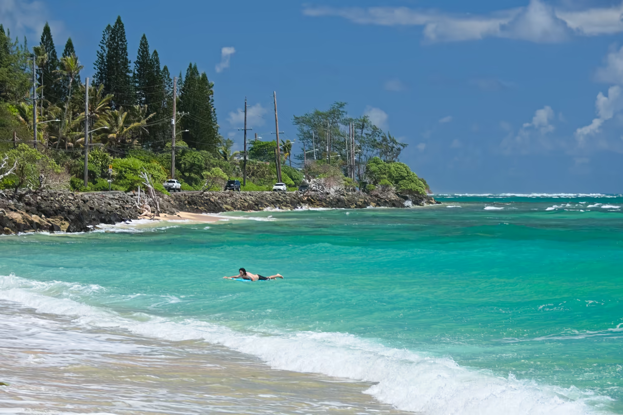
North of Kualoa the road runs between the mountain and the water through Kaʻaʻawa, a small community of the windward district whose name means the wrasse, with each vowel of it pronounced separately. Below the road a curve of golden sand lies scattered with dark volcanic rock and shelves gently into turquoise water; over the shallows the waves break in soft white lines before the water deepens to blue, and ironwood and palm trees screen the road behind a low wall of dark stone.
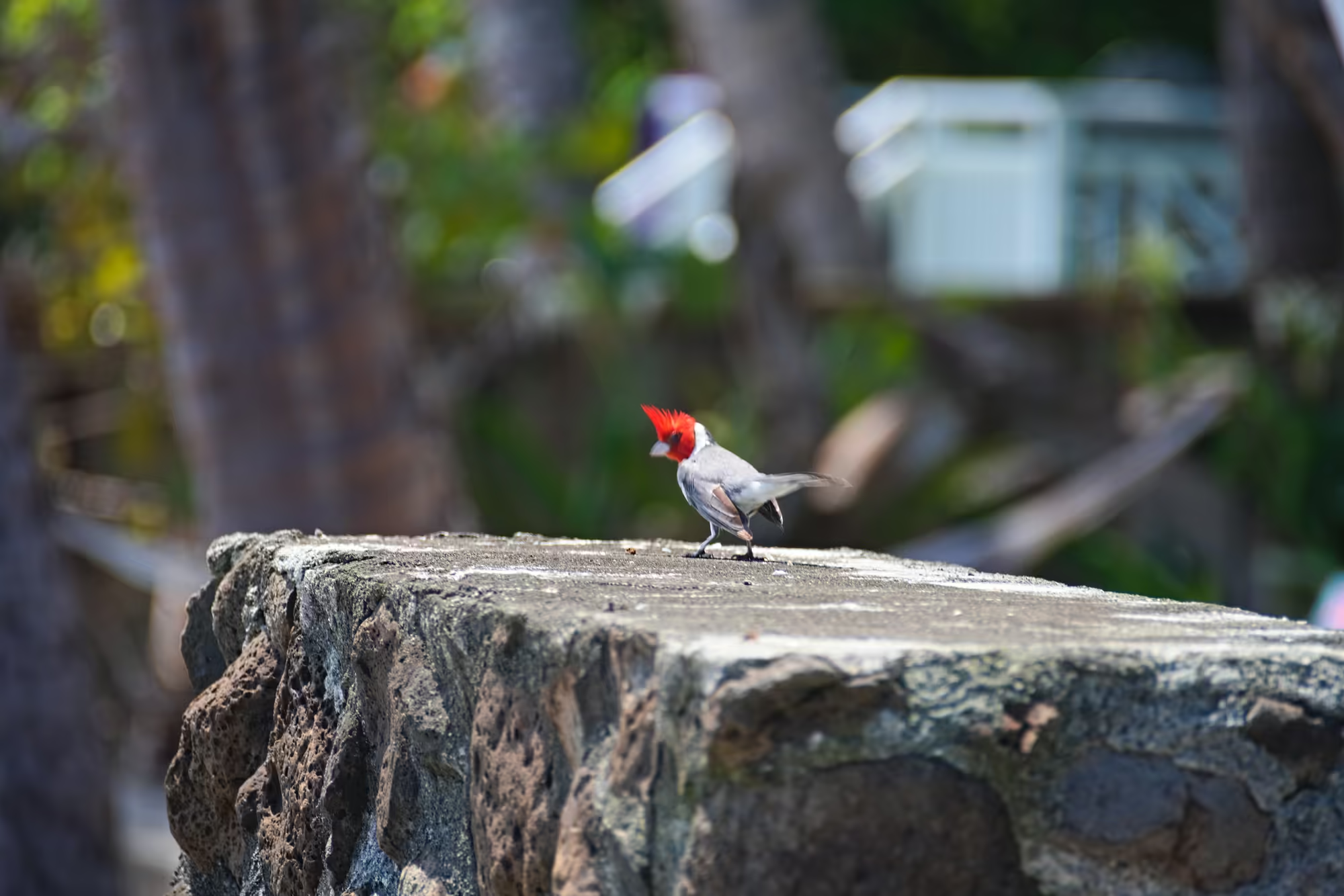
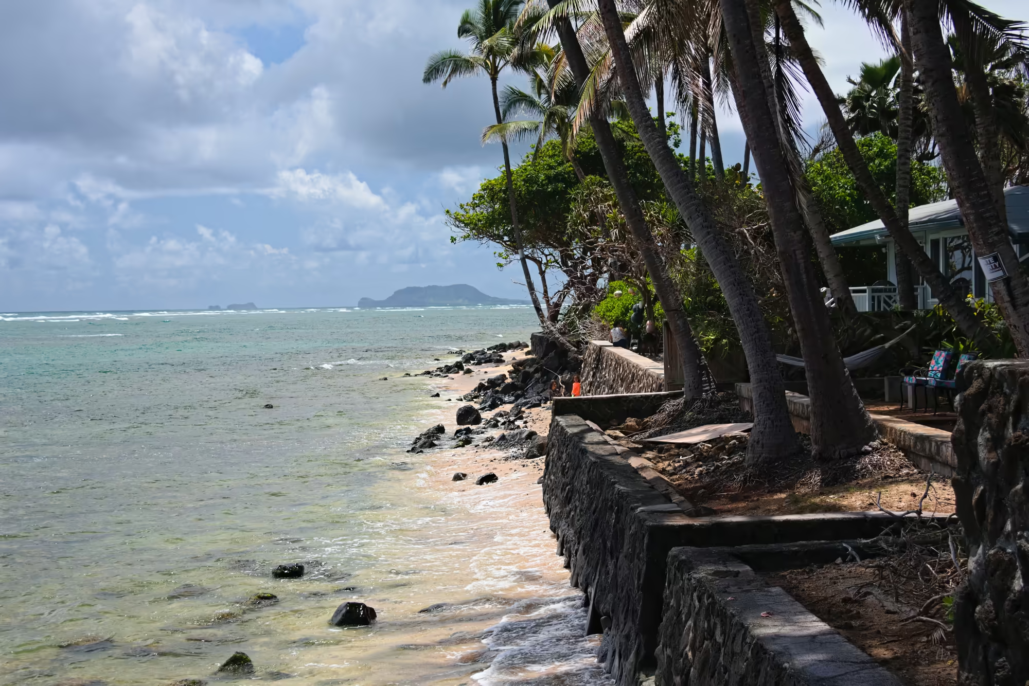
On the seawall of the village a red-crested cardinal sits in profile, its bright red head and pointed crest the loudest colour in the frame, grey wings and white belly set against the rough, lichen-covered stone, while the trees behind and the light beyond the wall blur into soft green and grey. Out at Kaʻaʻawa Point the water stays shallow a long way out, small waves breaking over a sandy bottom strewn with dark stones, palms leaning over the path behind the shore and a hazy island on the horizon.
Kokololio Beach at Hauula
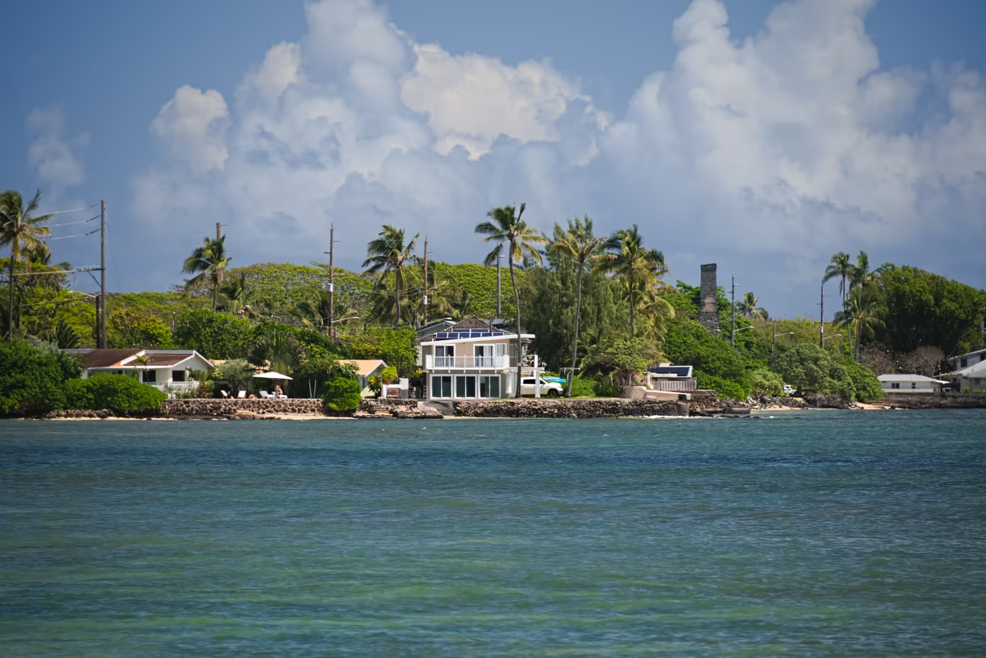
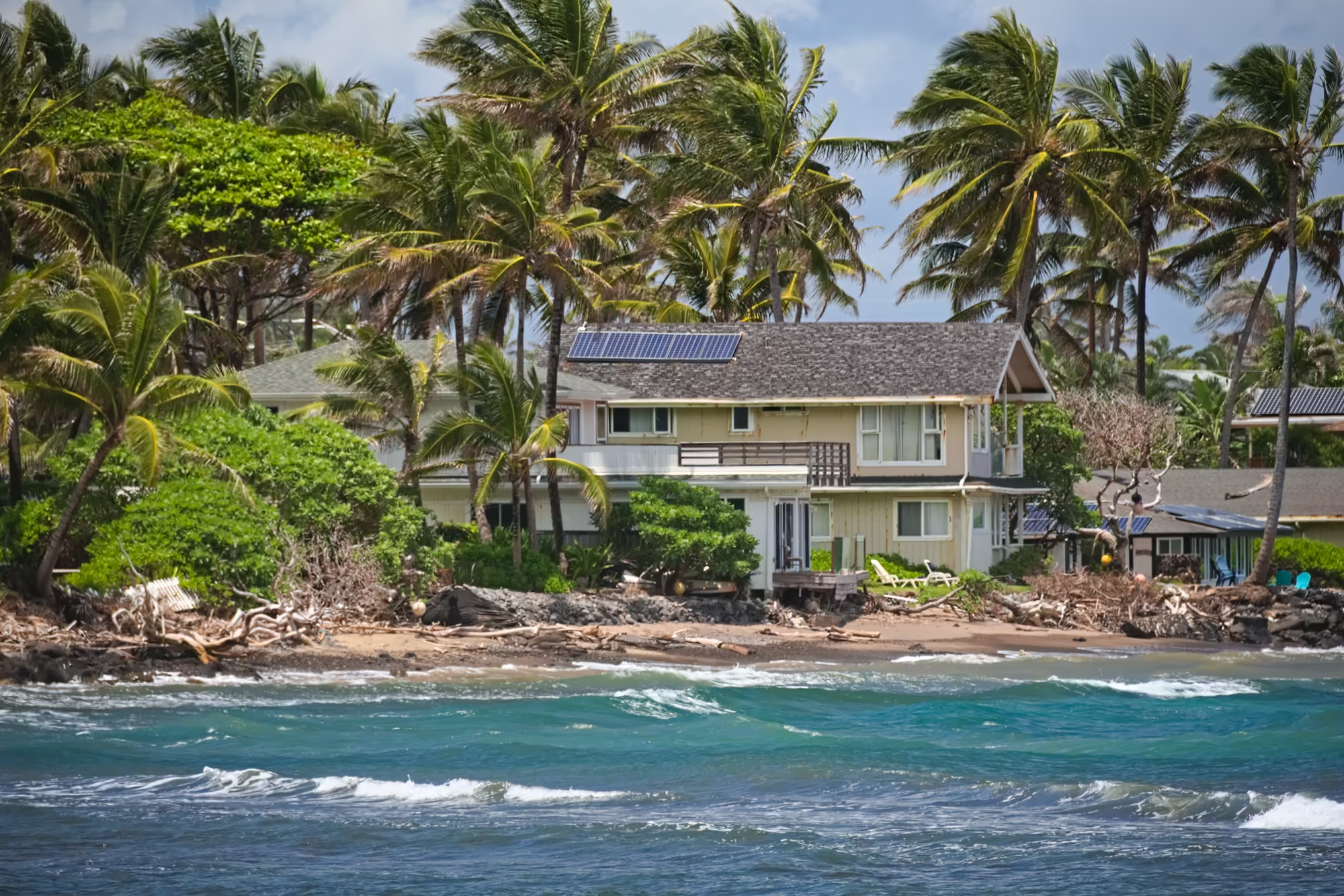
The trade wind is up by midday on this coast, and the surf at Kokololio shows it: short waves and whitecaps pushing toward a narrow shore of dark sand mixed with coral rubble and driftwood, with a beachfront house whose roof carries solar panels showing between the coconut palms.
In the park behind the beach a blue and white striped umbrella stands on the mown grass between the lawn and the sand, a large bare-branched tree leans out over the shore, and the wind-brushed water carries whitecaps the length of the bay.
The Crossing to the West Shore
The windward road continues north past the beaches below the Koʻolau crest and through Lāʻie and Kahuku, and then follows the North Shore, where the open ocean meets the sand in long lines and the breaks are known far beyond these islands. At Haleʻiwa the drive pauses for thirty-nine minutes, the longest stop of the day so far, in the old plantation town at the head of the bay.
From Haleʻiwa the road turns inland and climbs. The green of the windward side and the cloud that has been hanging on its ridge all morning are left behind together, the sky opens over the central plateau, and the highest point of the day is reached on this crossing at 314 metres. Then the descent begins to the leeward coast, where the mountains stand in long, deeply grooved ridges above the water and the light is clear.
Yokohama Bay at the End of the Road
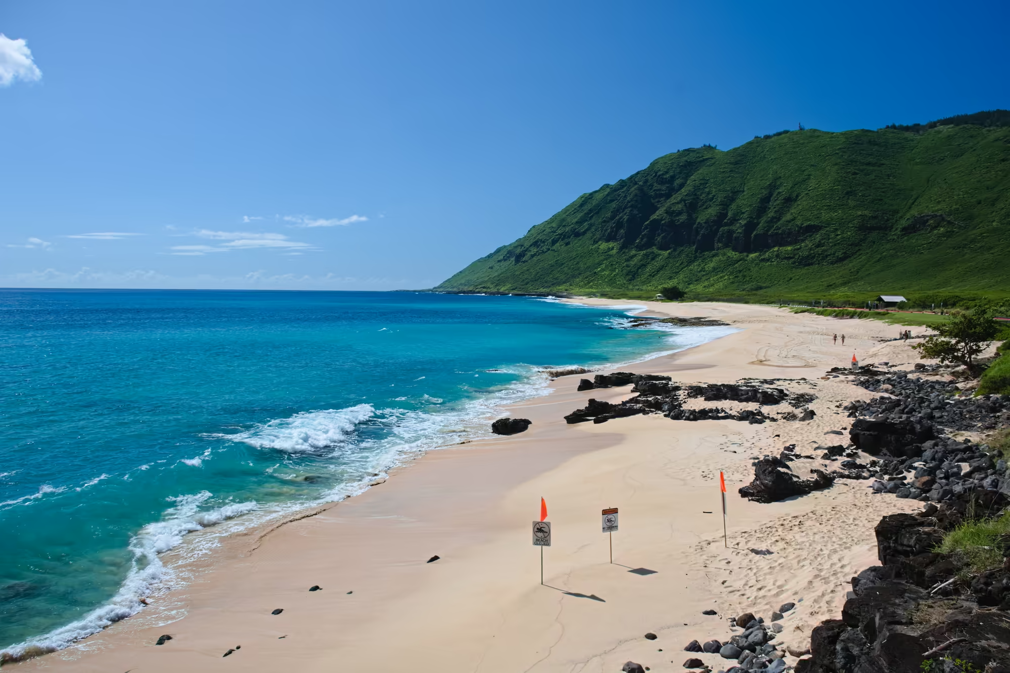
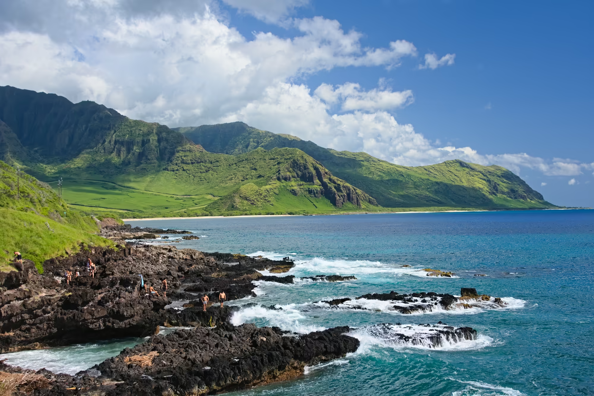
The Farrington Highway runs north along the Waiʻanae coast and stops where the paved road does, below Kaʻena Point, the westernmost tip of the island, which is protected as a natural area reserve. The last beach before the road ends is Keāau, known to everyone here as Yokohama Bay: a broad curve of golden sand below a fluted green ridge, with heavy black boulders scattered at the waterline, a low lifeguard tower under a tree above the beach, and metal posts carrying orange flags and white warning signs on the dry sand.
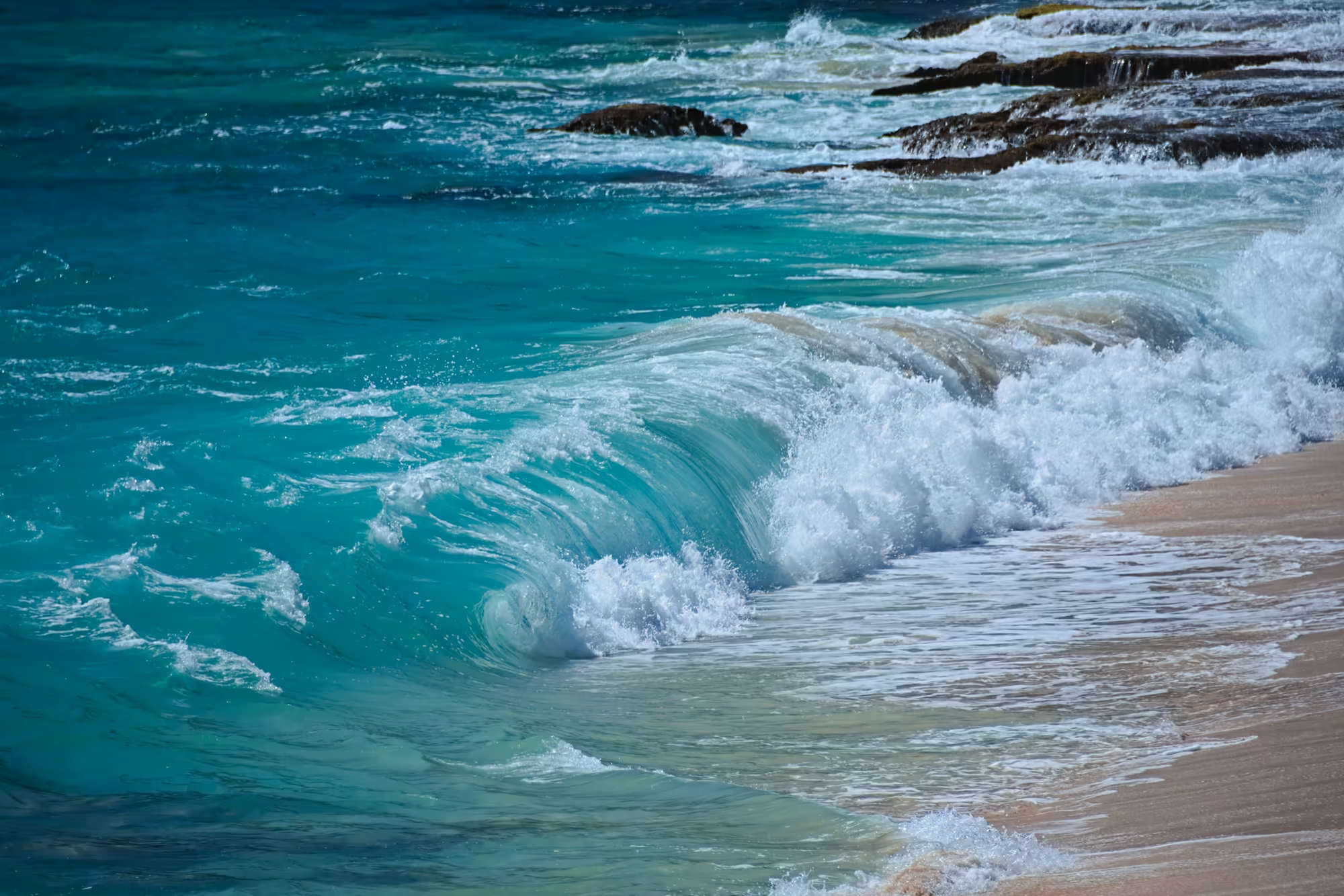
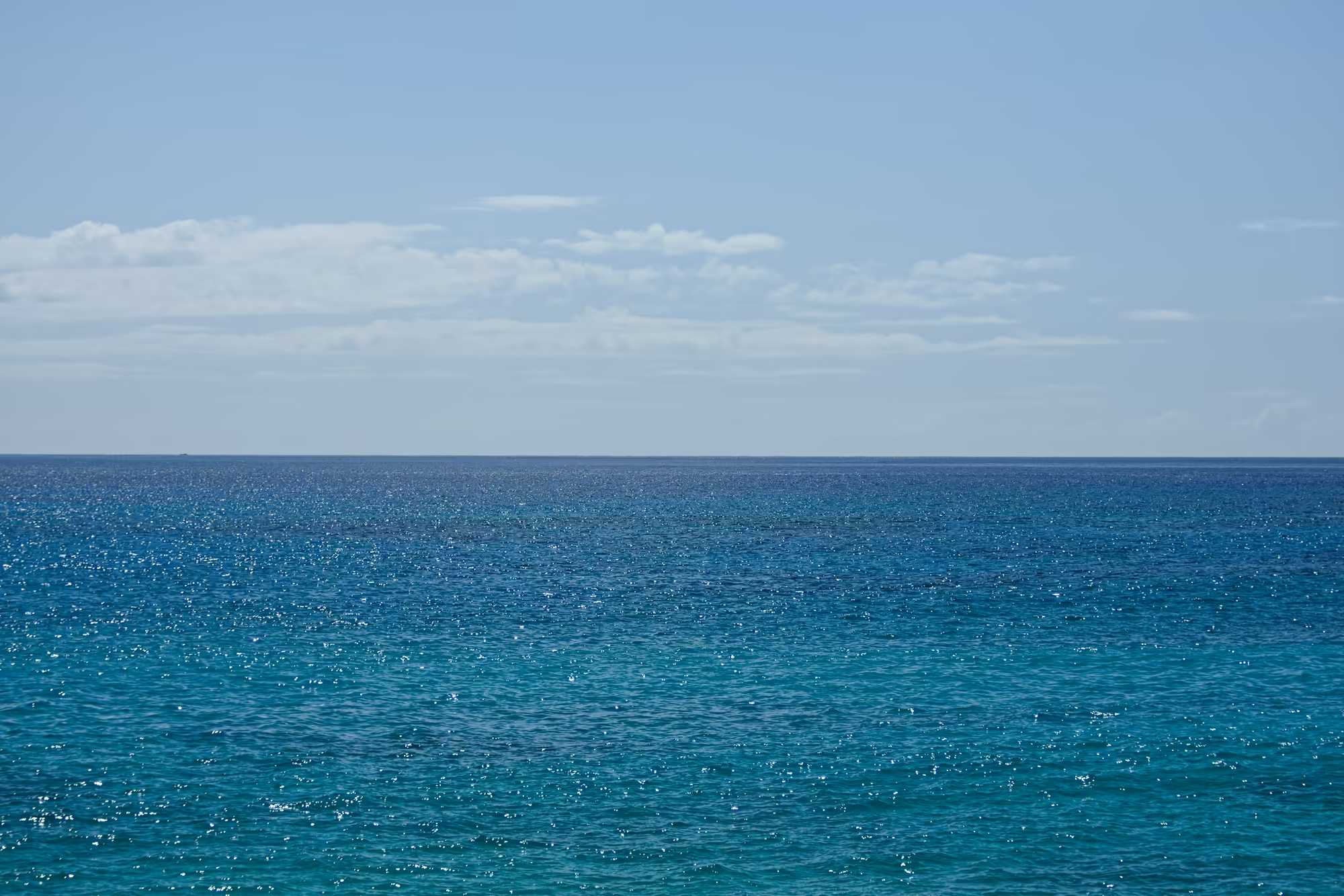
This is the longest stop of the afternoon on the west side. The water is clear and pale turquoise over the sand, breaking into white foam around the lava boulders at the shoreline, and the swell arrives unbroken from the open Pacific: a turquoise wave curling over dark rock beside a strip of wet sand, sunlight breaking into countless points of glitter across the ocean, small ripples catching a wide band of sparkle beneath scattered cloud. At the rocky point the surf washes around jagged black ledges where the water pushes into a narrow inlet, and a slim yellow marker post stands close to the edge.
Mākaha and the Waiʻanae Boat Harbour
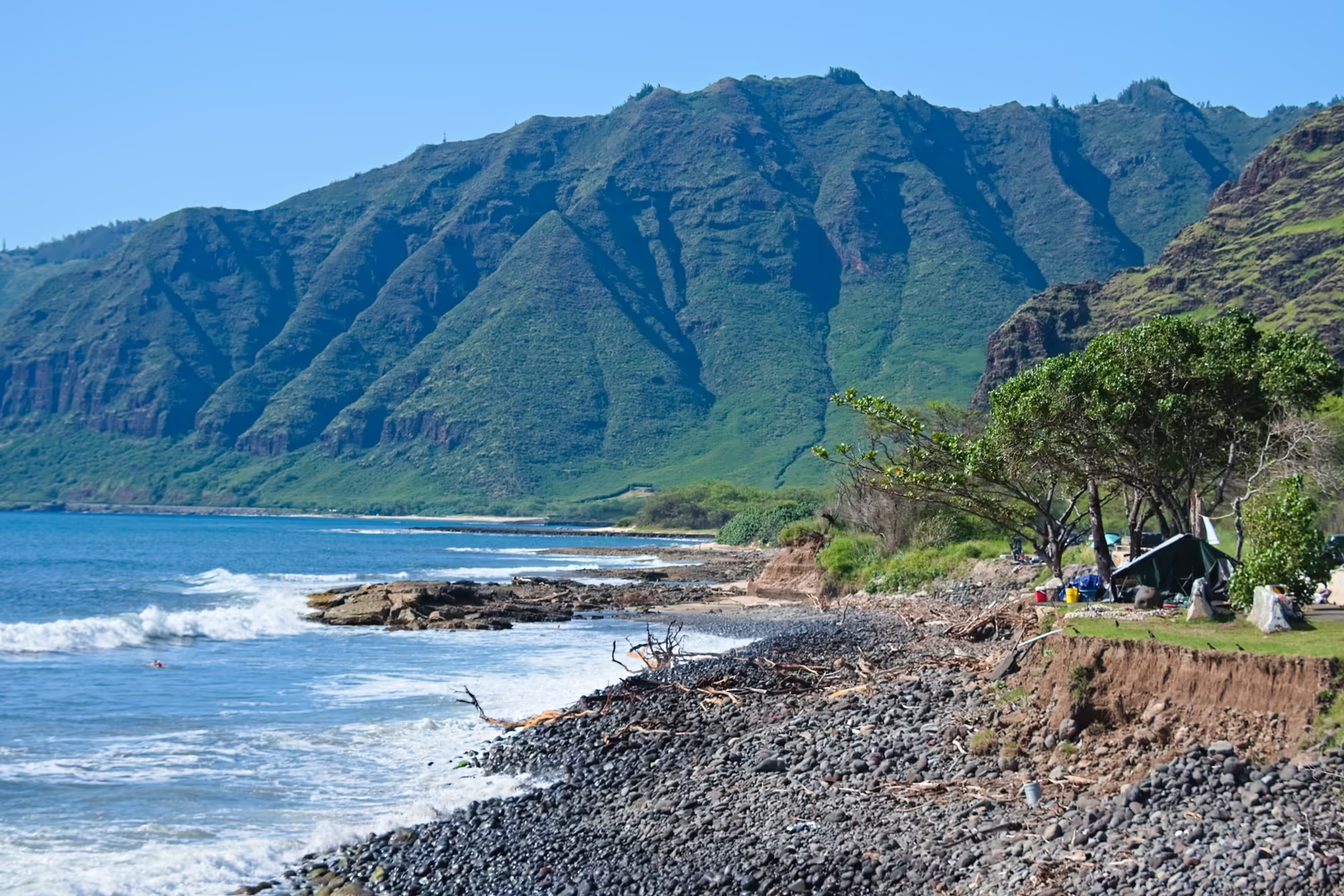
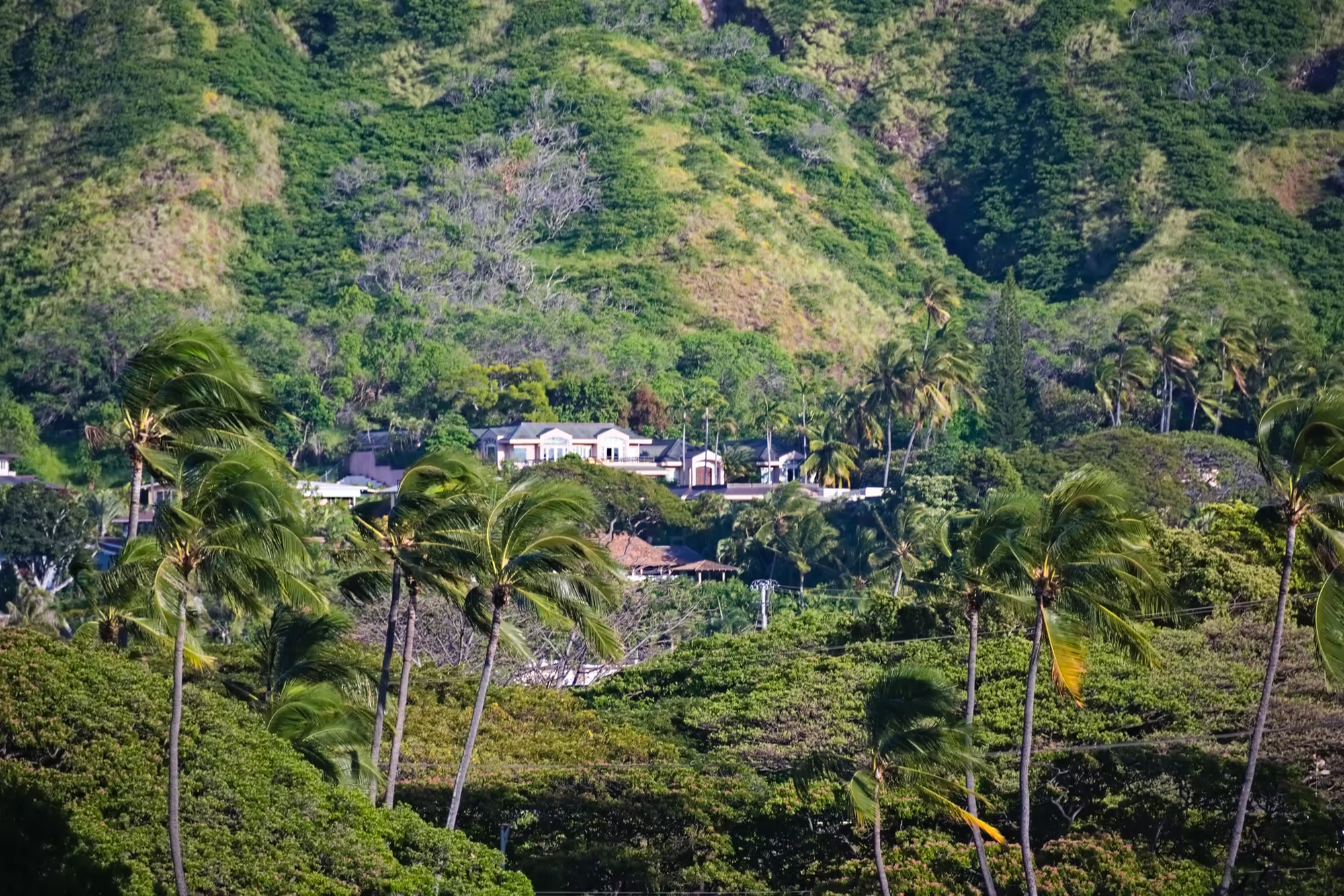
South of Yokohama Bay the coast road passes Mākaha, where the beach is made of dark pebbles rather than sand and pale driftwood lies along the upper shore below a cut bank of bare soil with grass roots hanging over the edge. The ridge rises straight out of the water behind, its gullied slopes catching the sun on one flank and standing in deep shadow on the other, and a wide, low-branching shade tree leans across the south end of the beach.
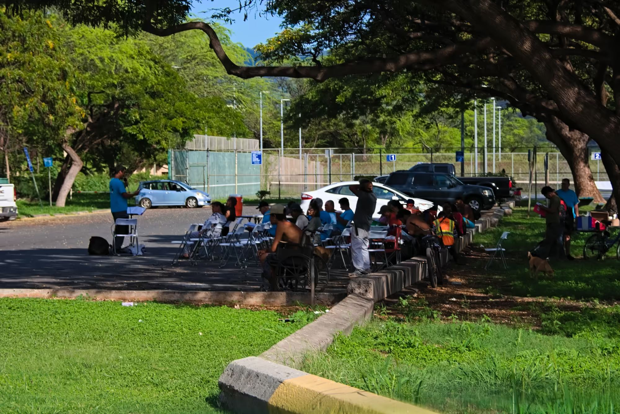
At the boat harbour a green sea turtle rests on a dark, pitted rock shelf in the shallow water of a tide pool, one front flipper stretched out ahead of its domed shell while the sun picks out the mottled plates of its back. Under the trees behind, rows of folding chairs and parked cars edge a grassy strip, and beyond them a chain-link fence with green mesh screens a playing field, with tall light poles and a low green hill on the skyline.
Nānākuli and the Road Back to Town
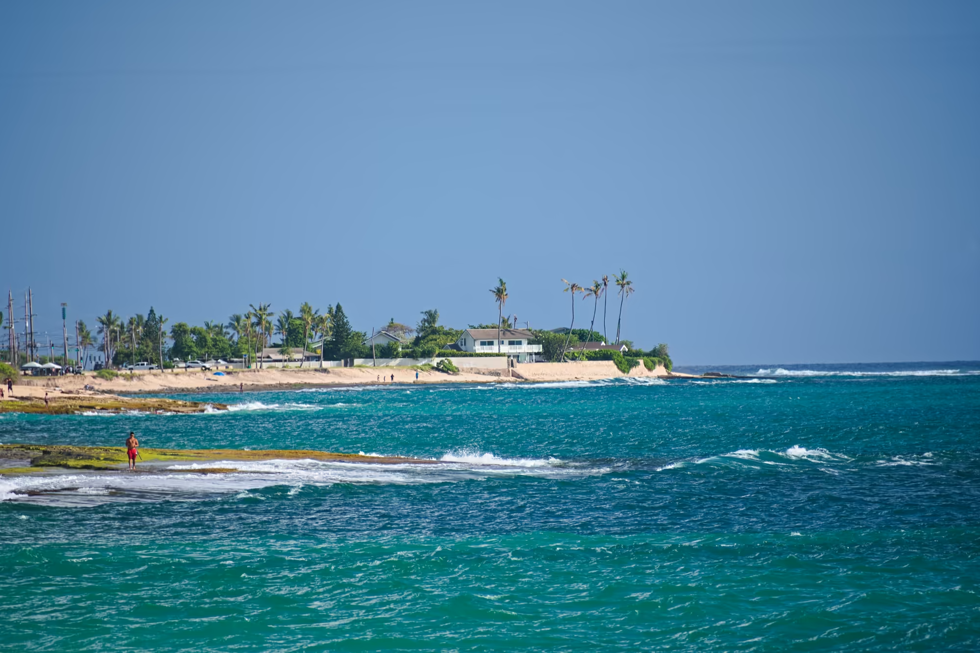
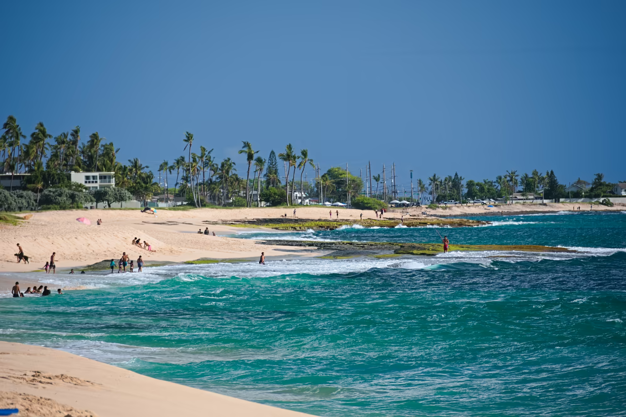
The last stretch of the leeward coast runs through Nānākuli. Choppy turquoise water carries small whitecaps up to a rocky shelf where a few figures stand at the water’s edge; beyond the sand a palm-covered point holds a white two-storey house with a grey roof, and a handful of boat masts shows further along the shore.
The beach itself curves away with ragged bands of dark wrack where the tide has been, two parallel tracks and scattered footprints crossing the dry sand, palms and a low stone wall along its edge, a blue canopy in the middle distance and a rounded green headland closing the view. Then the road turns inland, climbs over the pass and drops into the city, and by half past five in the afternoon the car is back on the beachfront avenue at Waikīkī.
Waikīkī in the Evening
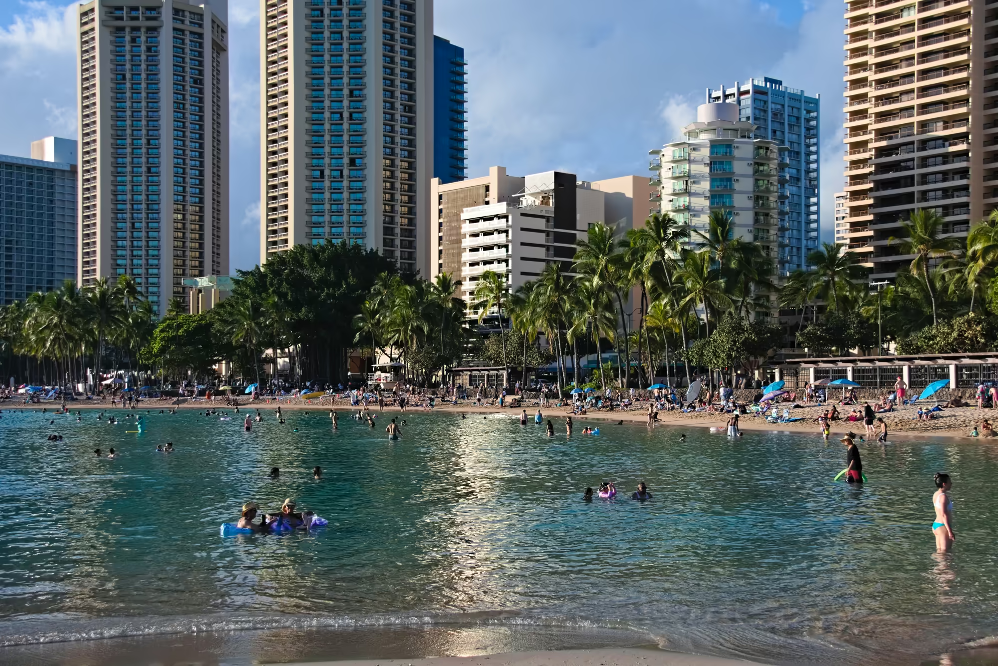
The light is already going gold when the day comes back to Waikīkī. In the hotel streets the palms crowd the walls and the balconies and shut out the sky altogether; on the beachfront avenue the bronze figure of Duke Kahanamoku stands on a stone pedestal on the sea side of the road with both arms stretched wide, while traffic passes beneath the shade trees and the ocean shows in strips between the palms and the storefronts.
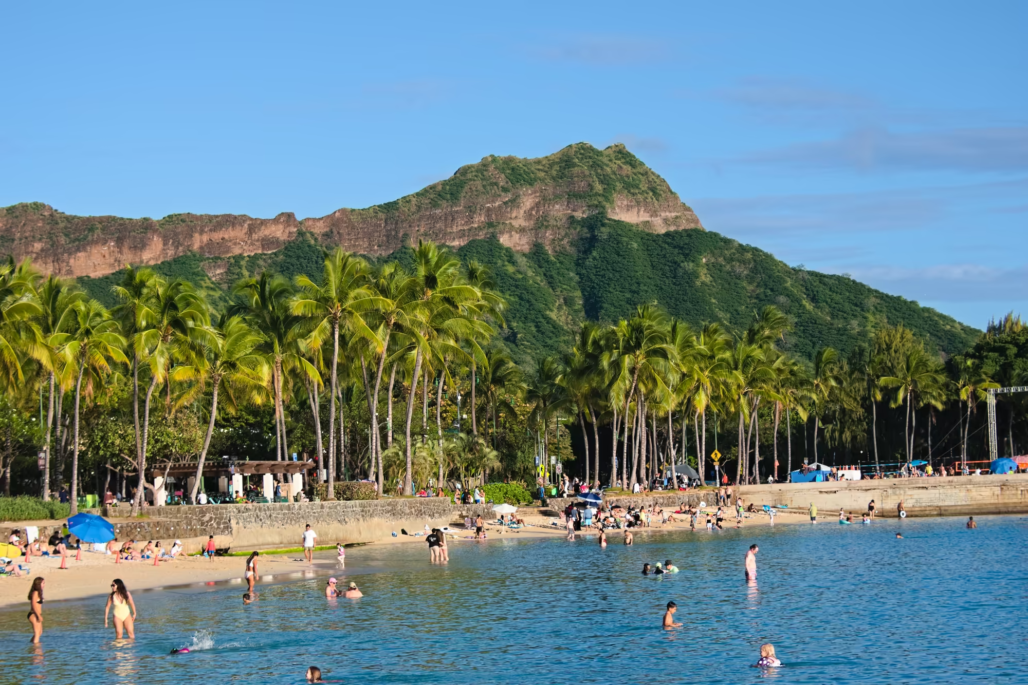
Along the sand, coconut palms stand in a line above a low stone seawall with the green slopes and the bare brown rock bands of Diamond Head rising beyond them. The beach is still wide and warm at this hour, with a white lifeguard tower behind the path, bicycles and an orange cone in the shade of the leaning trunks, and palm shadows striping the ground.
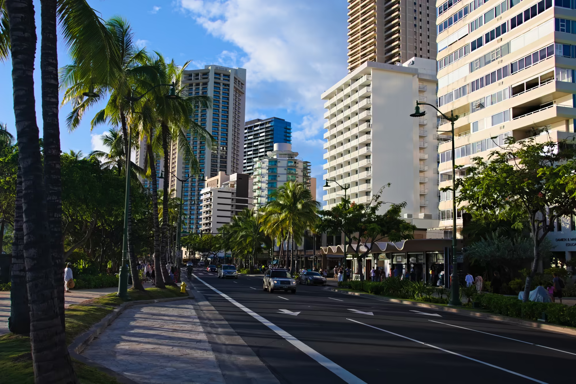
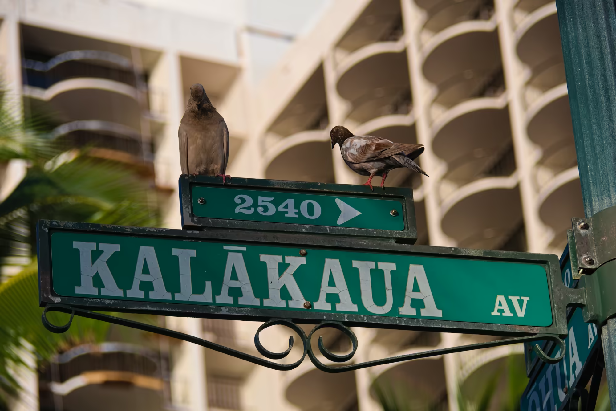
Kalākaua Avenue is at its busiest now: palms along both sidewalks and down the middle of the road, traffic passing between the storefronts and the tall hotels, painted arrows on the asphalt pointing toward the sea, and deep shade on the near pavement under the big trees. On the top edge of a green street sign two pigeons rest, one upright and grey, the other mottled brown and leaning out over the edge, with the curved balconies of the building behind them soft and out of focus.
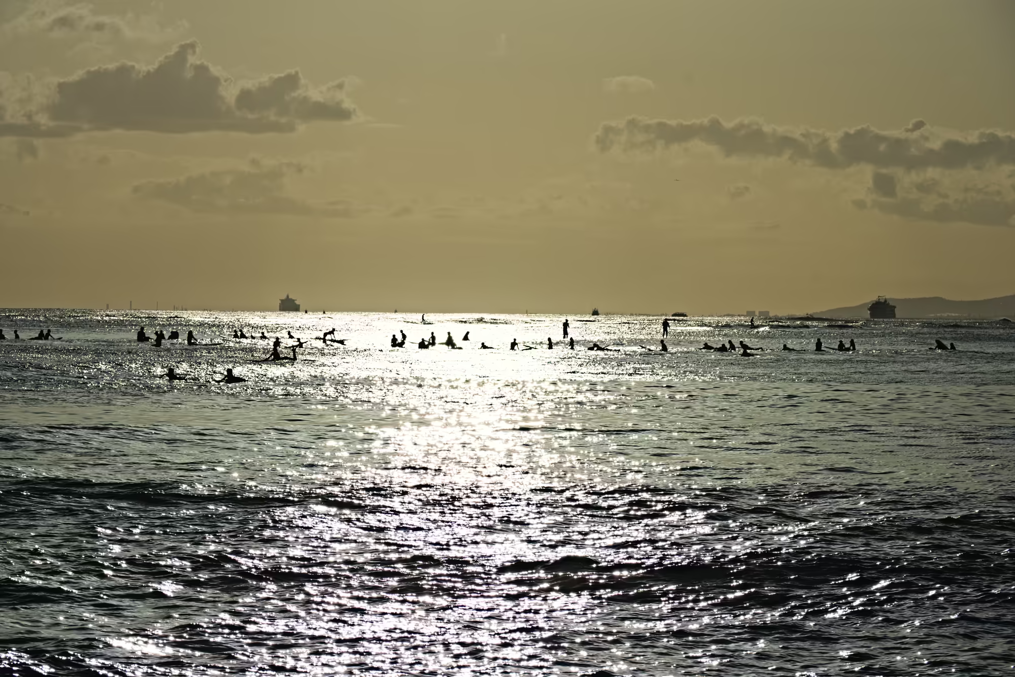
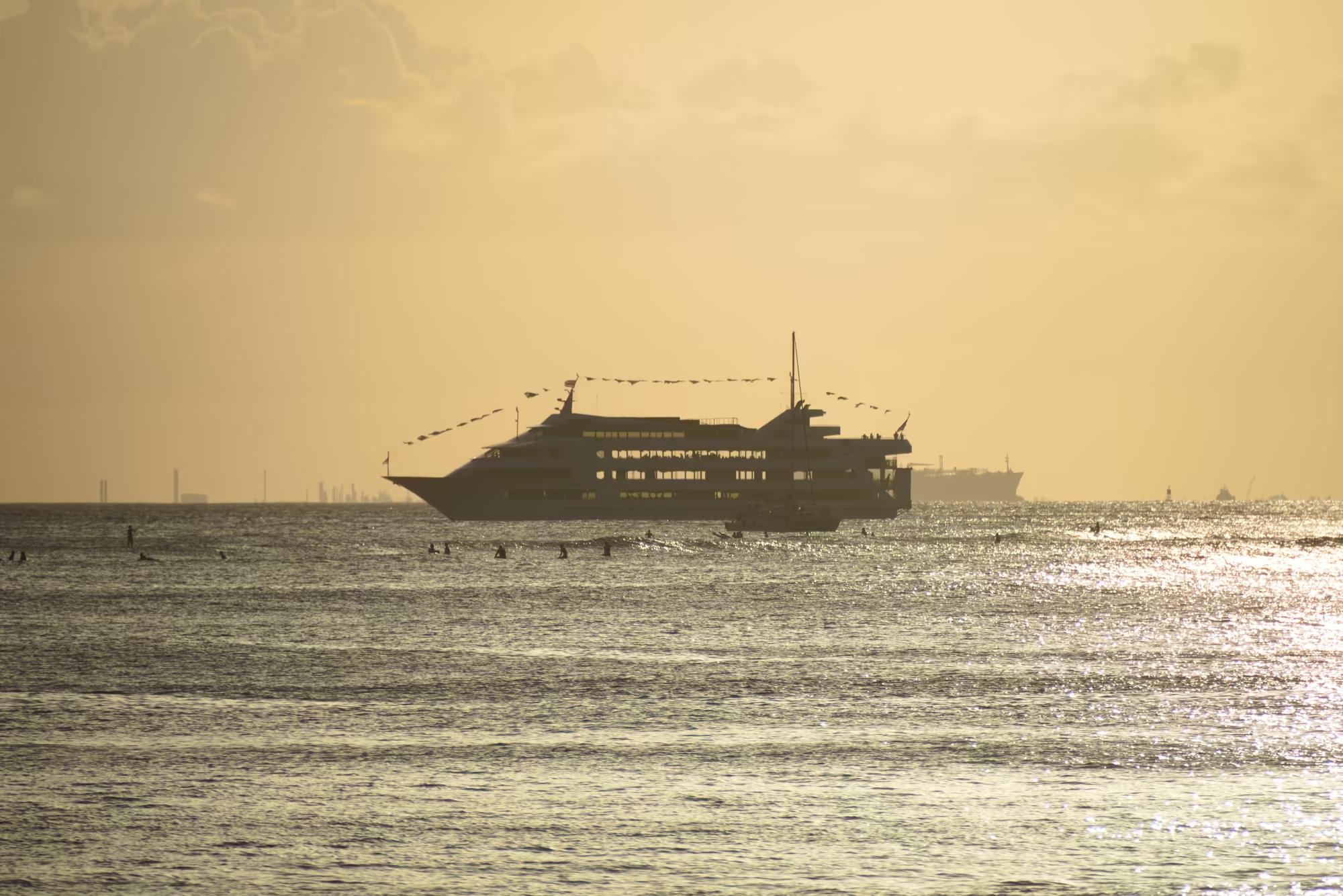
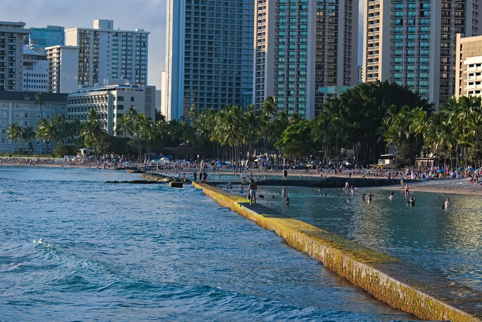
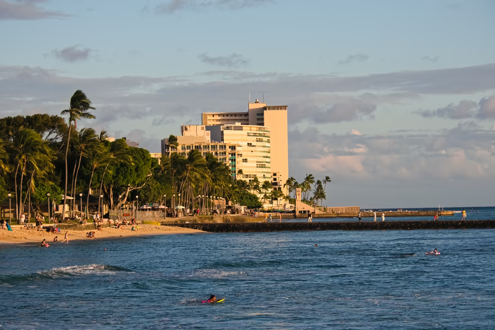
The evening ends on the water. A squat concrete pier carrying a small four-post pavilion stands out over the swell, its deck lined with people at the rail; a multi-deck boat hung with small pennants rides in silhouette on a sea gone amber, a broad path of glare spreading below it; a low breakwater matted with bright green algae runs diagonally across the shallows in front of the palms and the tower blocks; and the sand in front of the big hotels has taken the colour of the last light, with small waves breaking beside a dark stone groyne. Beyond the shorebreak the surfers sit on their boards in backlit water while a wave folds into white foam across the shallows, an aircraft crosses the high haze, and the sun drops to the horizon, where the slim sails of a few boats stand black against the glitter. The day ends where it began, on the beach at Waikīkī.
The Day in Numbers
Between the first stop at Waikīkī at twenty to eight in the morning and the return to the hotel at half past five in the afternoon the route covers 261 kilometres of road, most of it on the three highways that ring the island: the Kalanianaʻole along the south east and the windward coast, the Kamehameha through the North Shore, and the Farrington on the leeward side. The highest point of the day is 314 metres, reached on the crossing of the central plateau in the middle of the afternoon. Seventeen pauses of four minutes or longer break the driving, the longest of them thirty-nine minutes at Haleʻiwa, and the last of the light on the water comes at twenty to seven.
References
- Wikipedia contributors (2026). Oʻahu. en.wikipedia.org/wiki/Oahu
- Wikipedia contributors (2026). Hālona Blowhole. en.wikipedia.org/wiki/H%C4%81lona_Blowhole
- Wikipedia contributors (2026). Makapuʻu. en.wikipedia.org/wiki/Makapu%CA%BBu
- Wikipedia contributors (2026). Kāneʻohe Bay. en.wikipedia.org/wiki/K%C4%81ne%CA%BBohe_Bay
- Wikipedia contributors (2026). Heʻeia, Hawaii. en.wikipedia.org/wiki/He%CA%BBeia,_Hawaii
- Wikipedia contributors (2026). Kualoa Ranch. en.wikipedia.org/wiki/Kualoa_Ranch
- Wikipedia contributors (2026). Mokoliʻi. en.wikipedia.org/wiki/Mokolii
- Wikipedia contributors (2026). Kaʻaʻawa, Hawaii. en.wikipedia.org/wiki/Ka%CA%BBa%CA%BBawa,_Hawaii
- Wikipedia contributors (2026). Kaʻena Point, Oʻahu. en.wikipedia.org/wiki/Ka%CA%BBena_Point
- Wikipedia contributors (2026). Waikīkī. en.wikipedia.org/wiki/Waikiki