2017 Sydney I 4






























Journal Notes
General
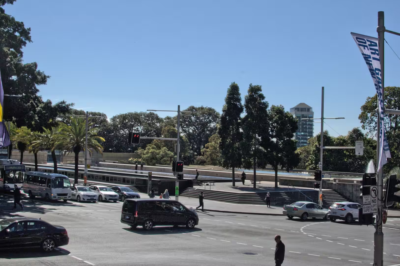
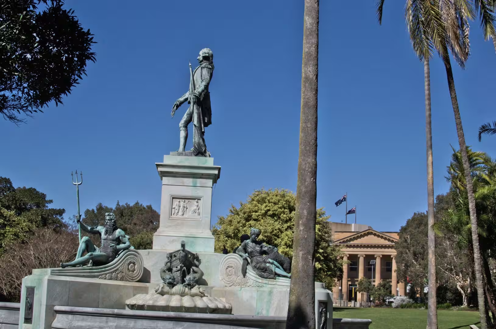
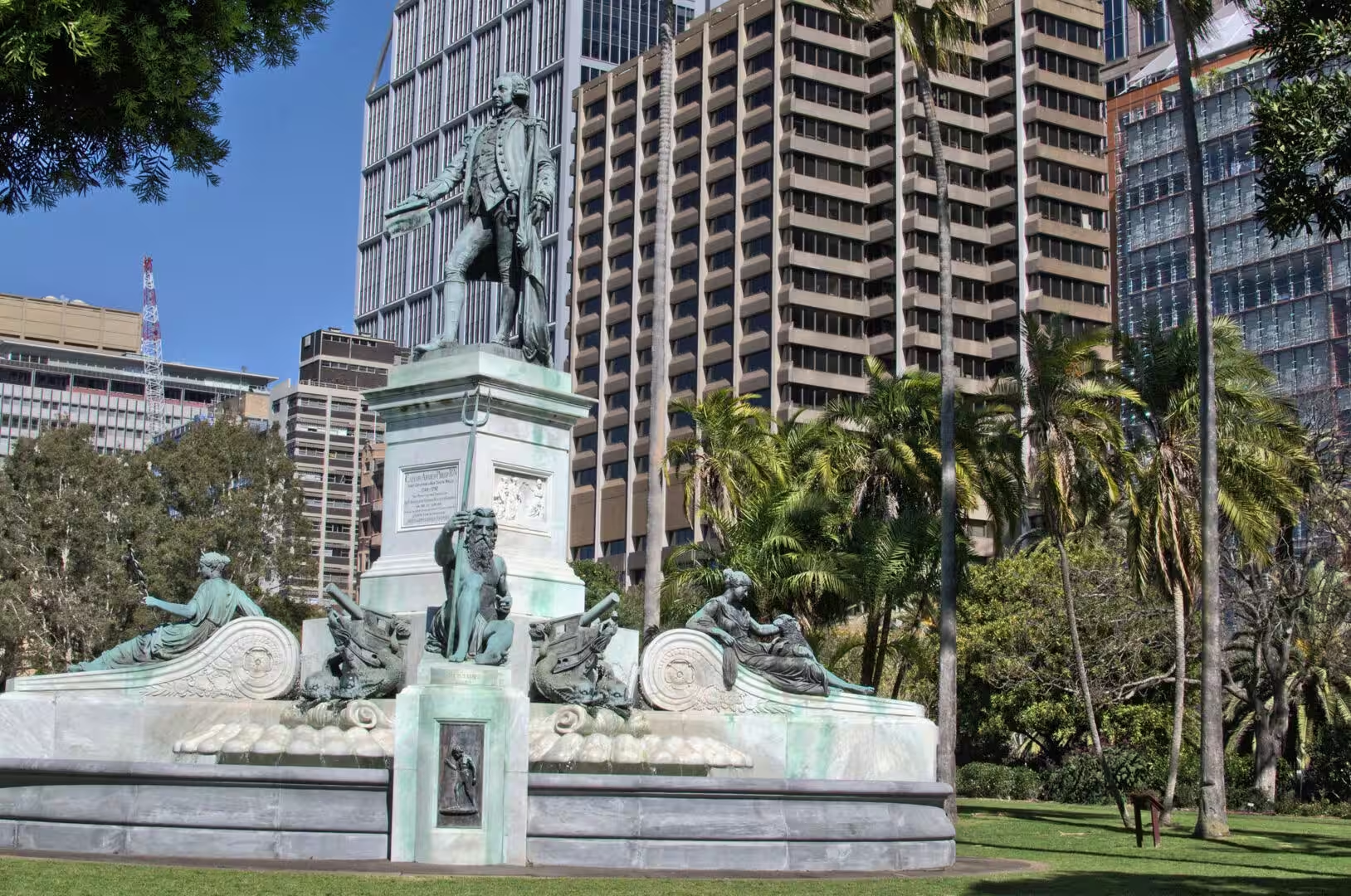
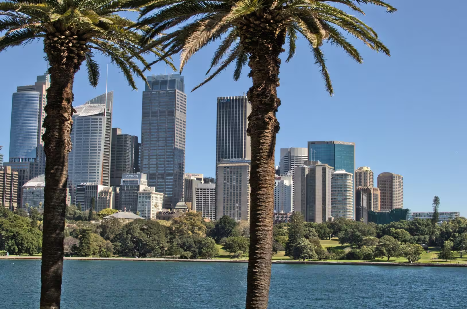
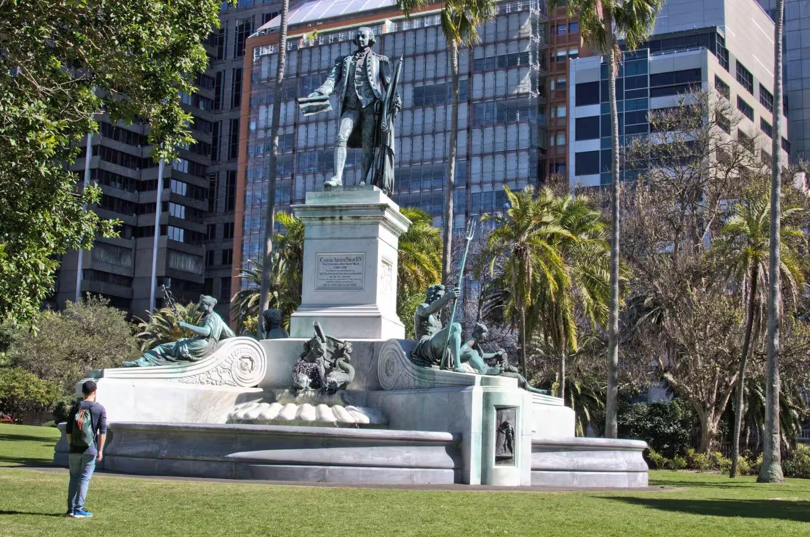
The fourth day was spent on foot in the city and in the gardens beside it. The walk began in the streets of the central business district, where the towers stand close together and the shade between them is a relief, and continued past bronze statues on their pedestals: a colonial governor with a trident bearing figure beside him, an explorer in a park, and a navigator on a marble base looking out towards the water.
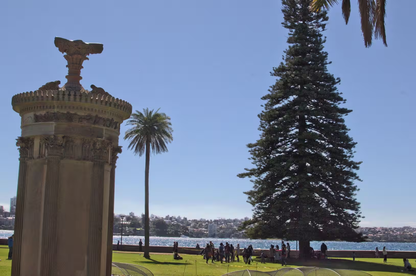
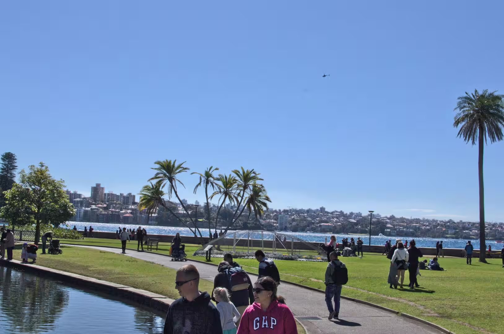
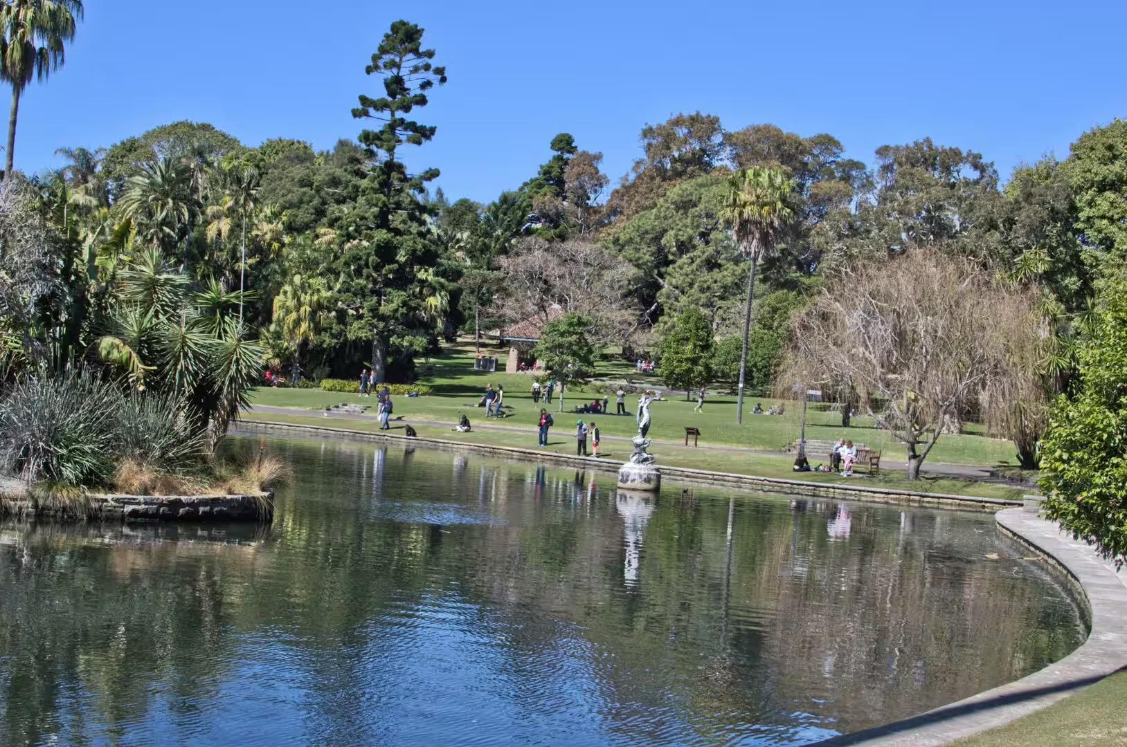
Then the gardens begin, and the character of the day changes completely. The Royal Botanic Garden occupies the shore of Farm Cove on the eastern edge of the centre, thirty hectares of lawns, trees, beds and paths that run from the Opera House to the headland at Mrs Macquaries Point. It is free, it opens early, and on a summer morning it is full of runners, office workers and visitors, all of them moving between the shade of the trees and the brightness of the water.
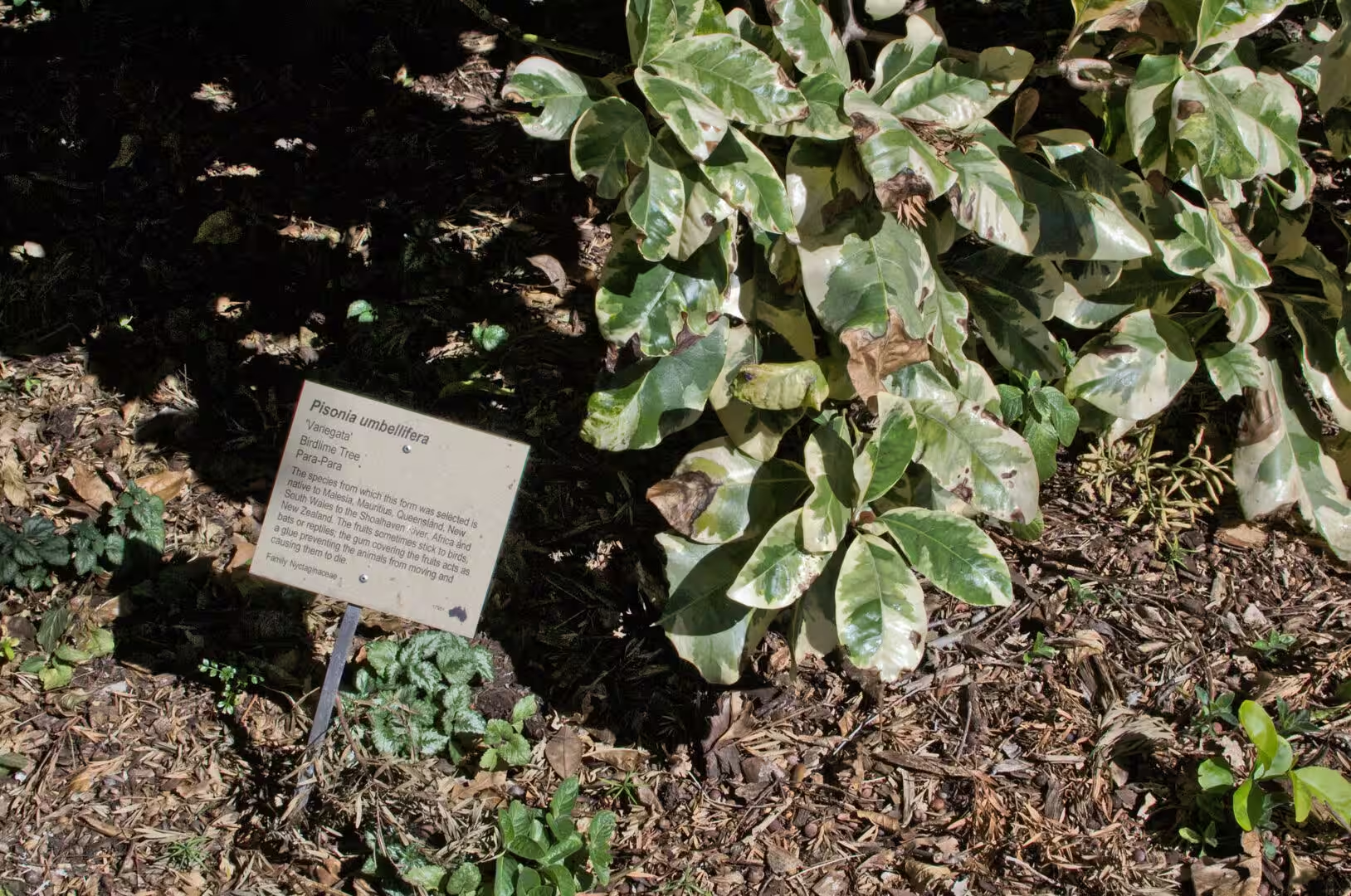
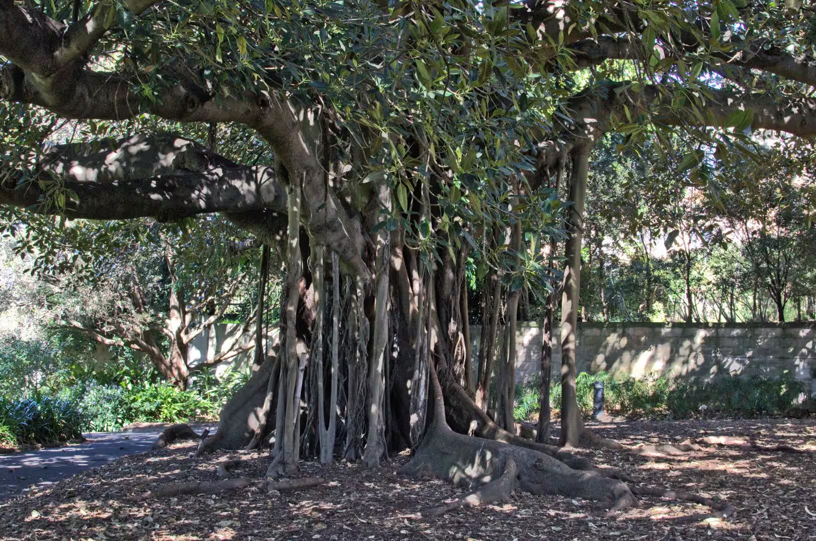
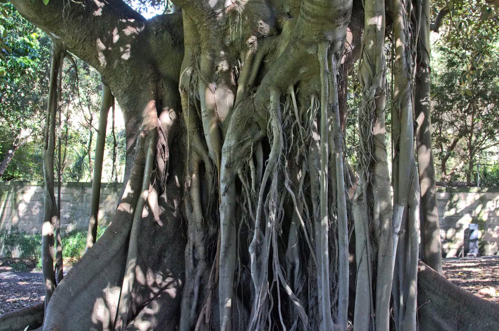
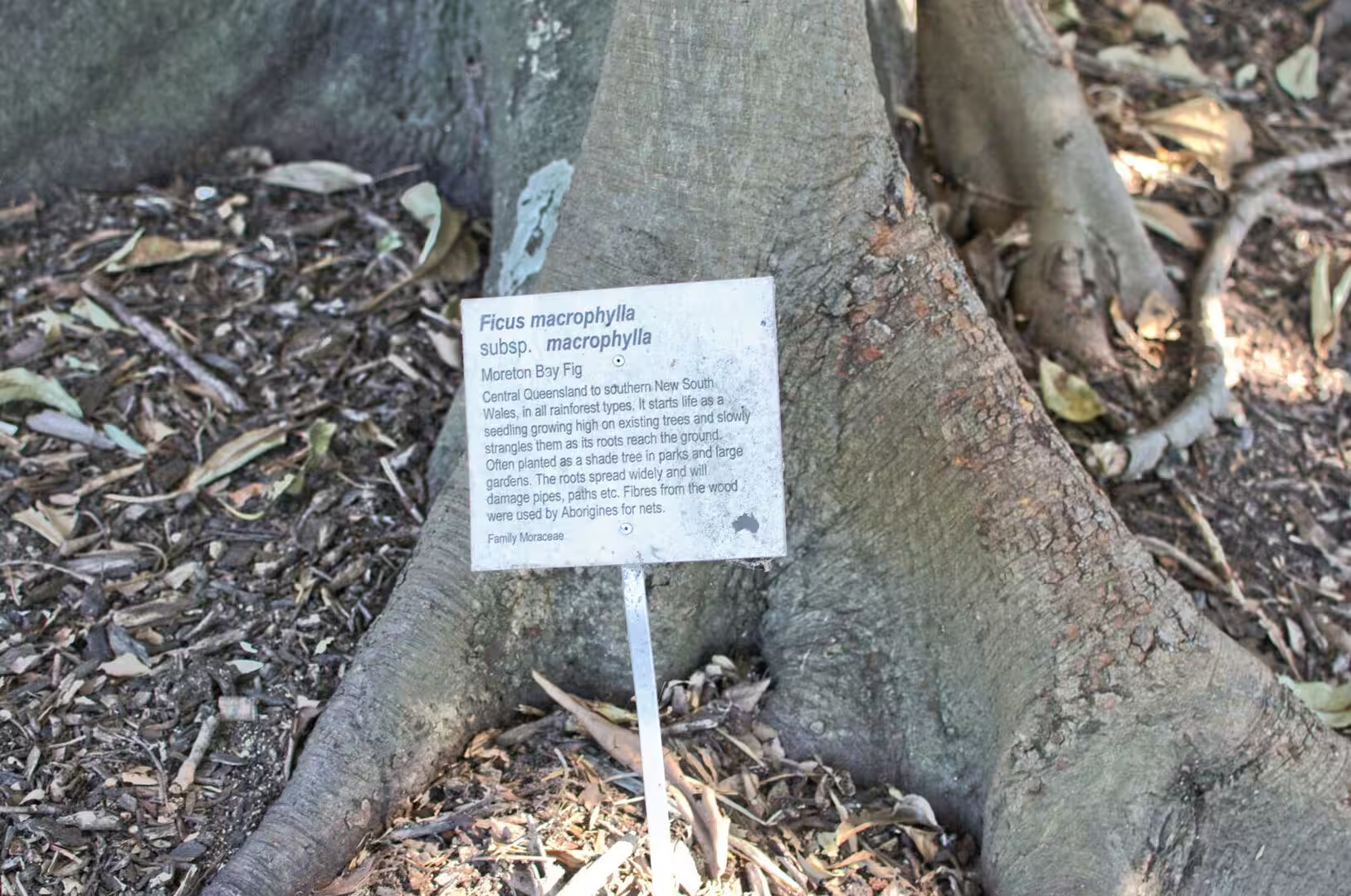
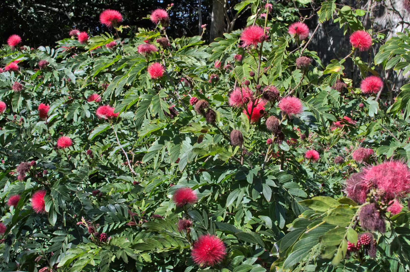
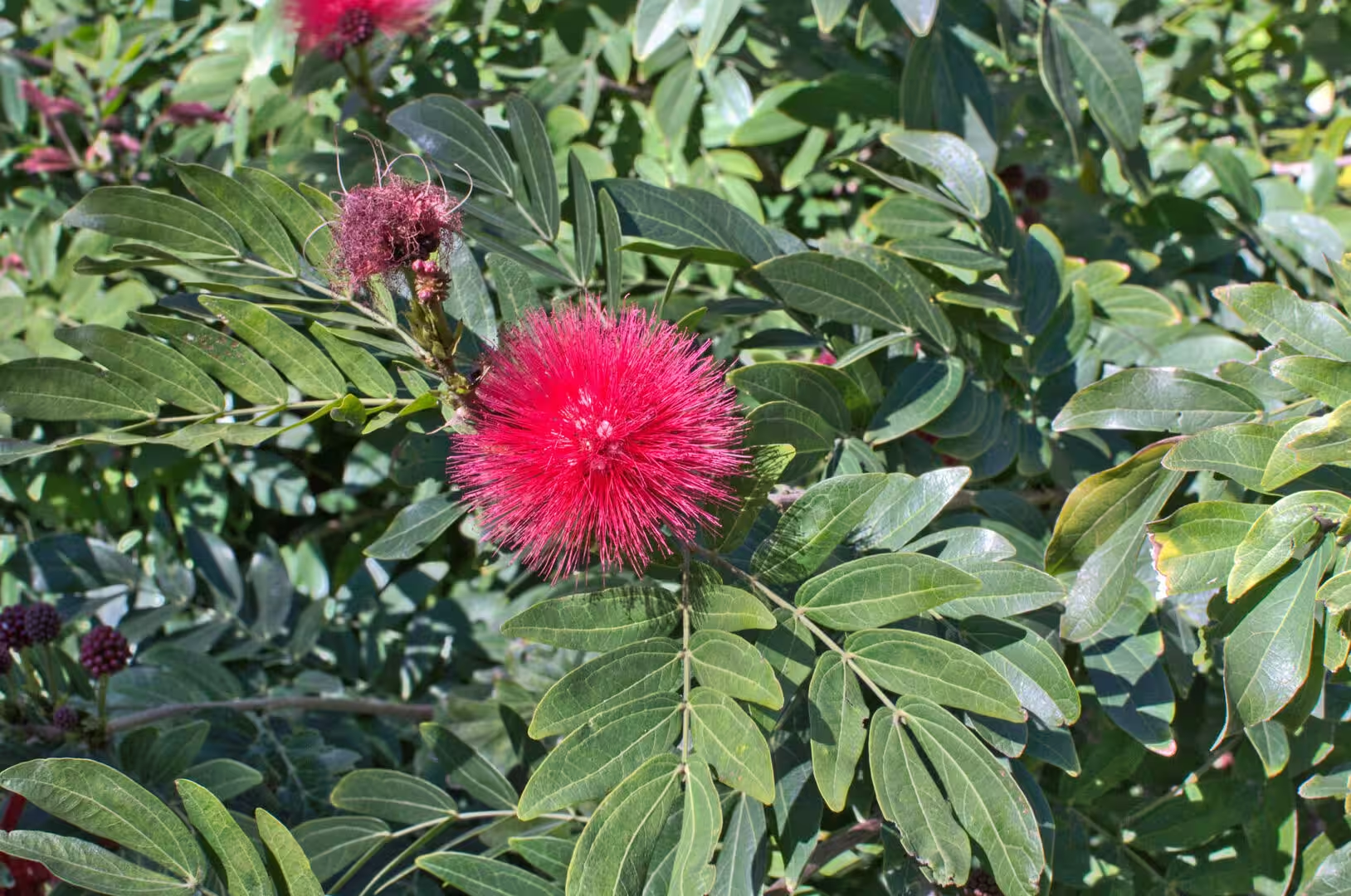
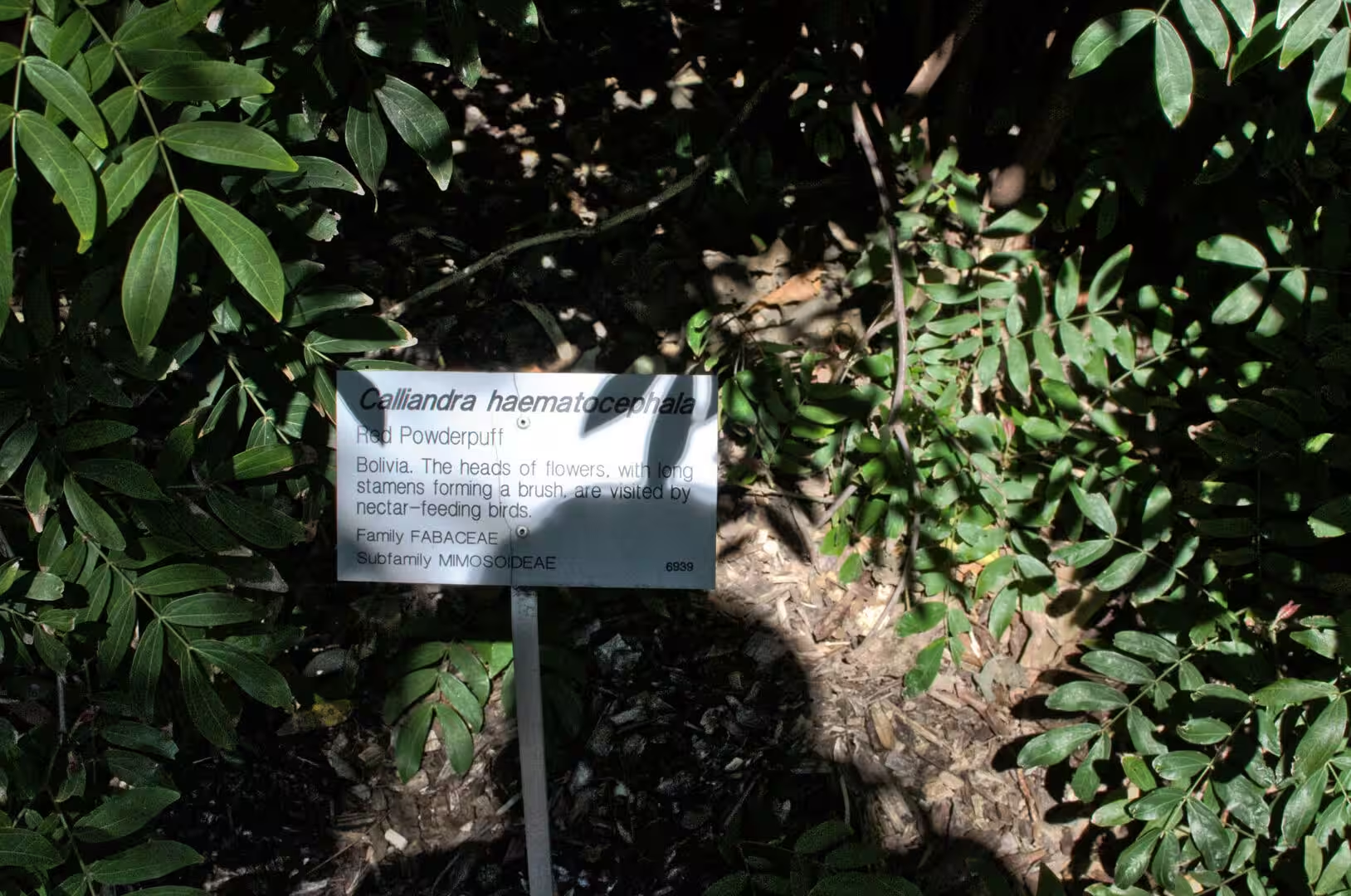
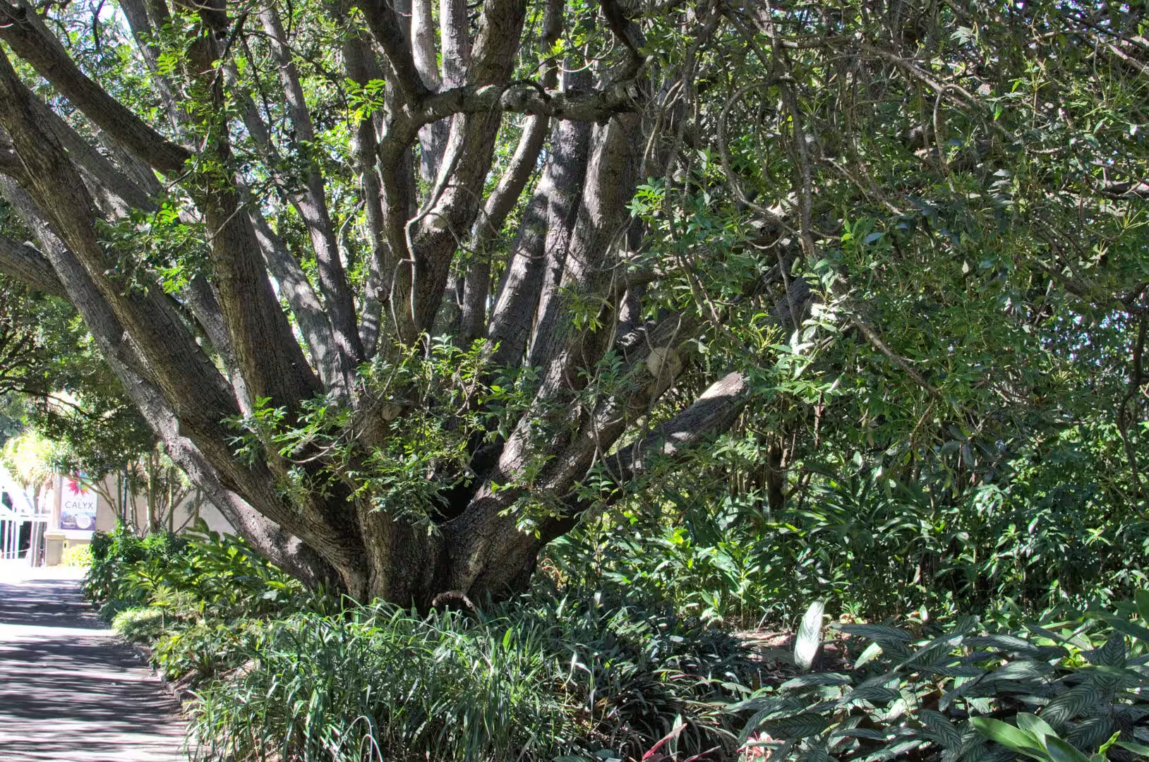
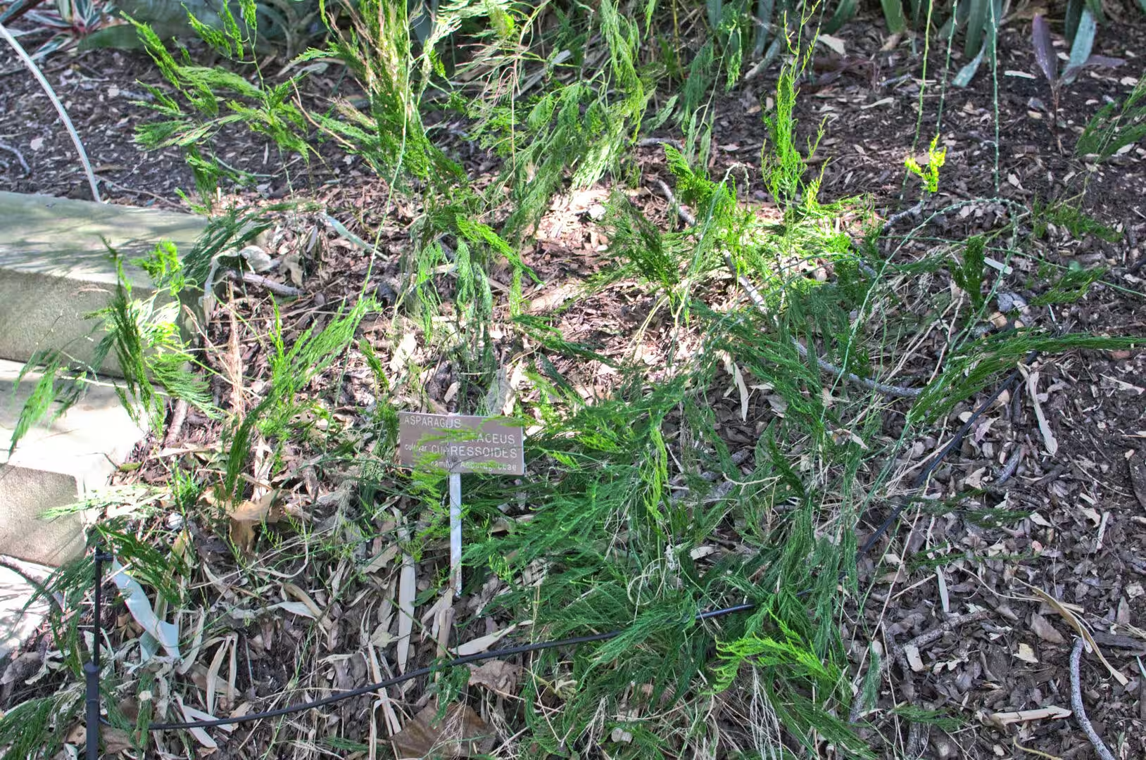
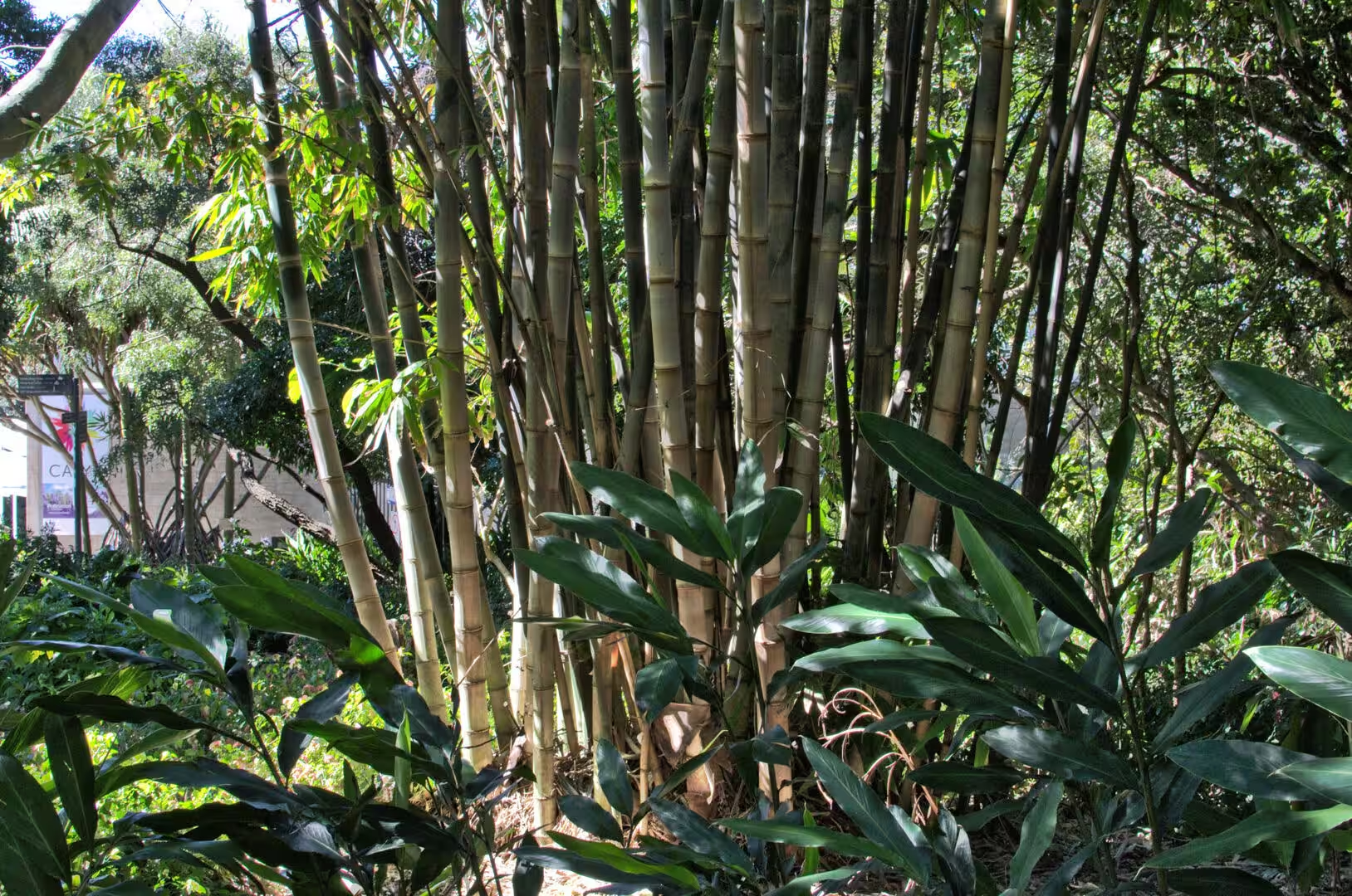
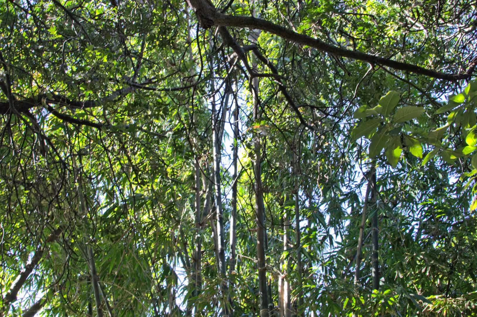
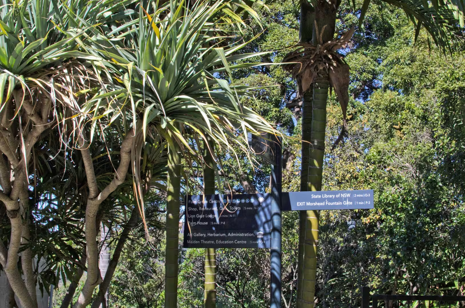
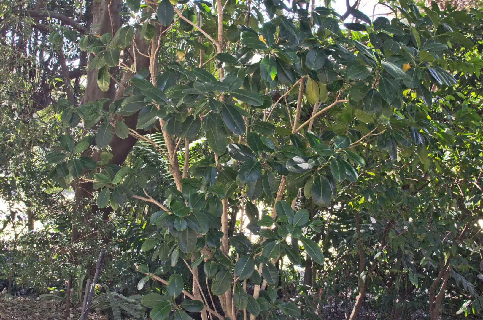
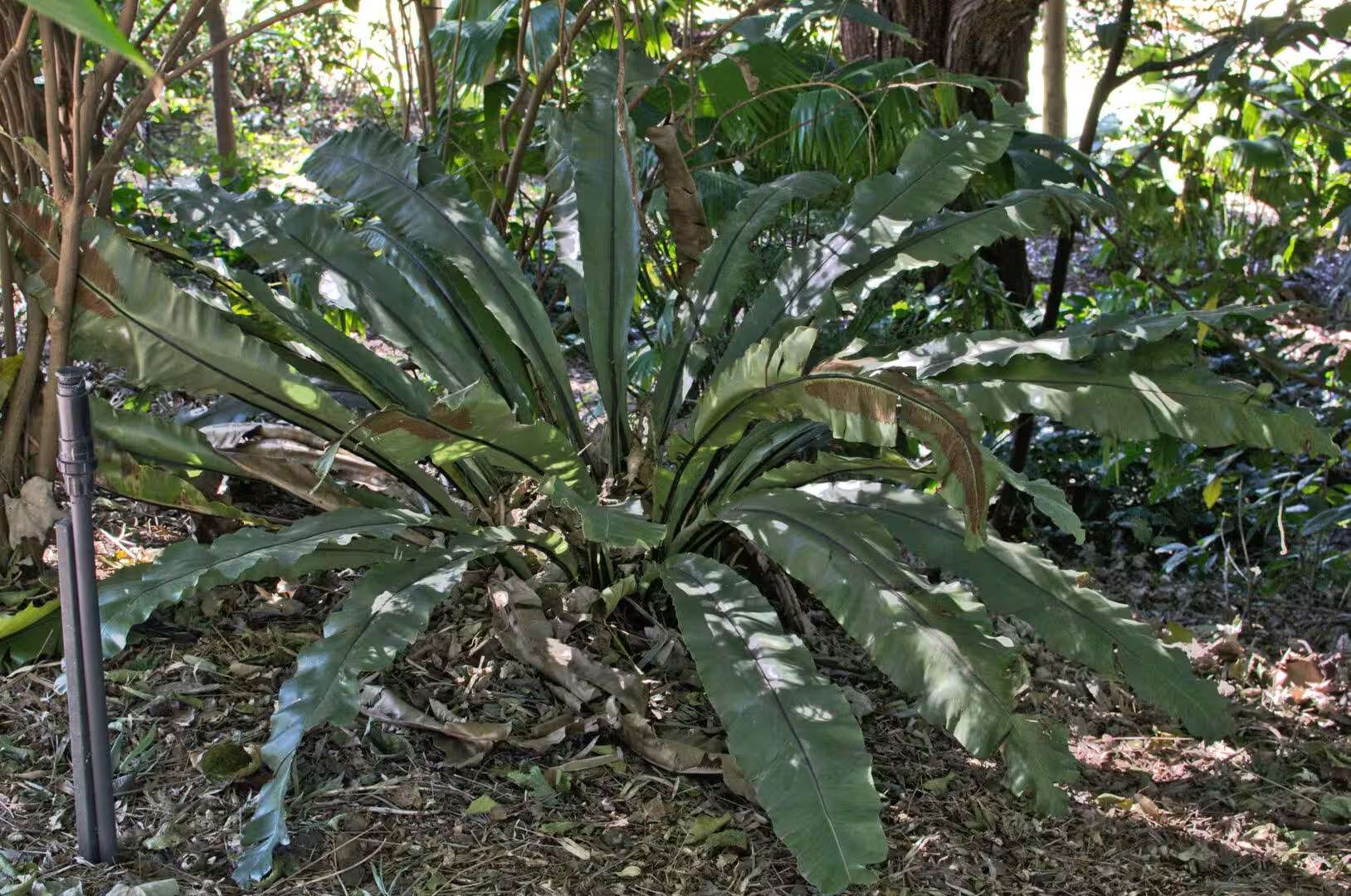
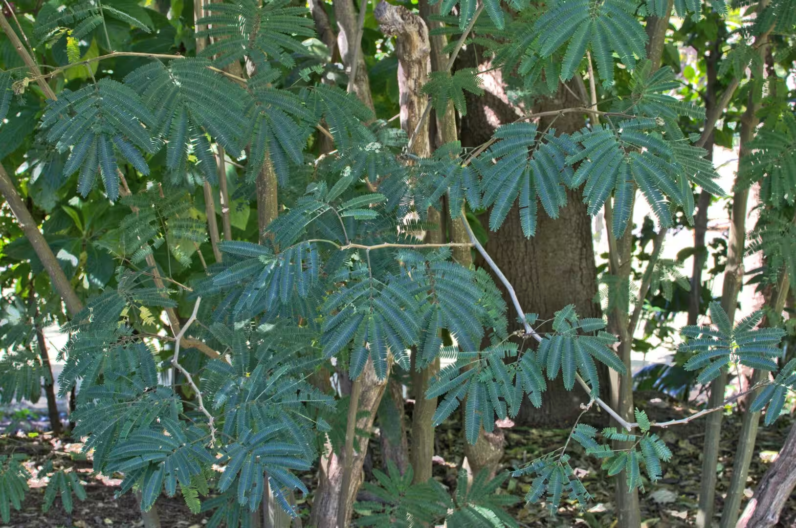
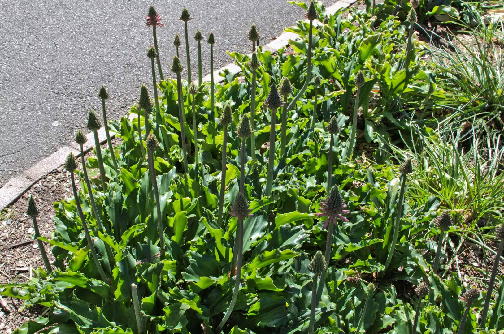
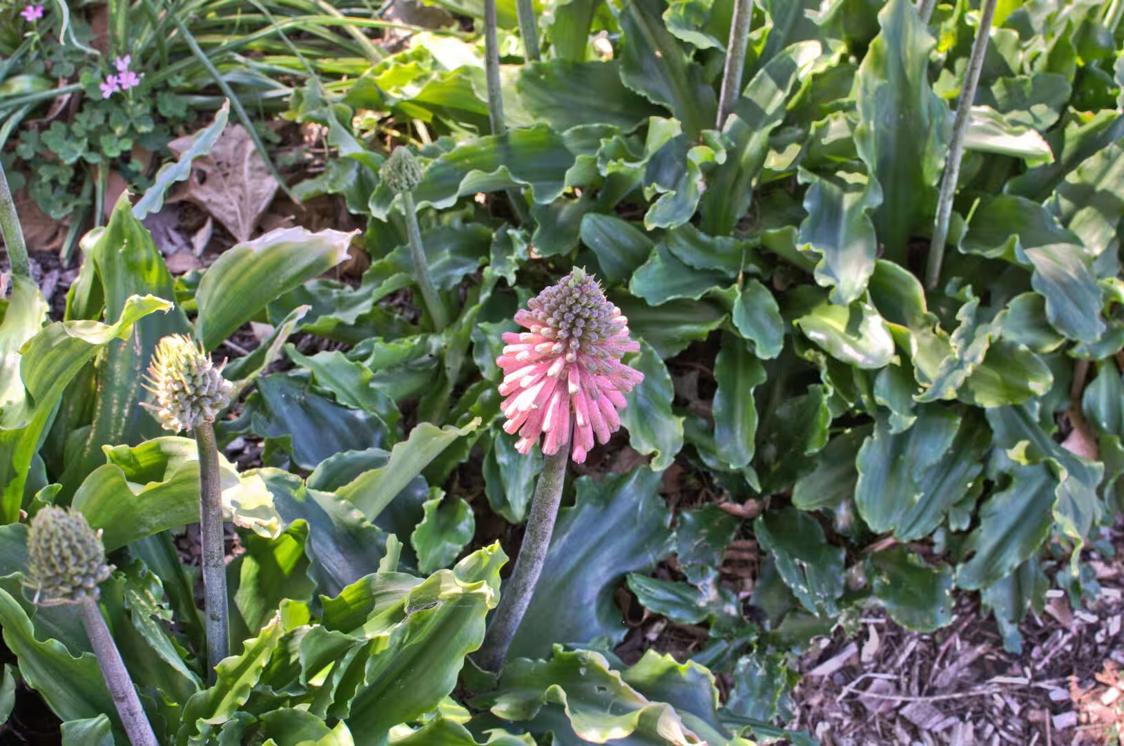
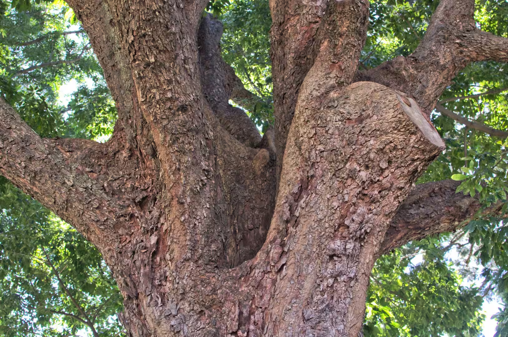
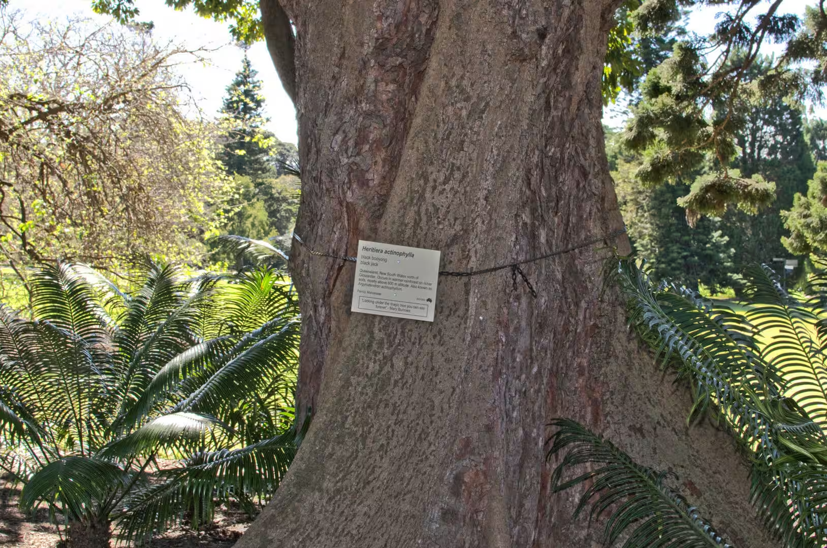
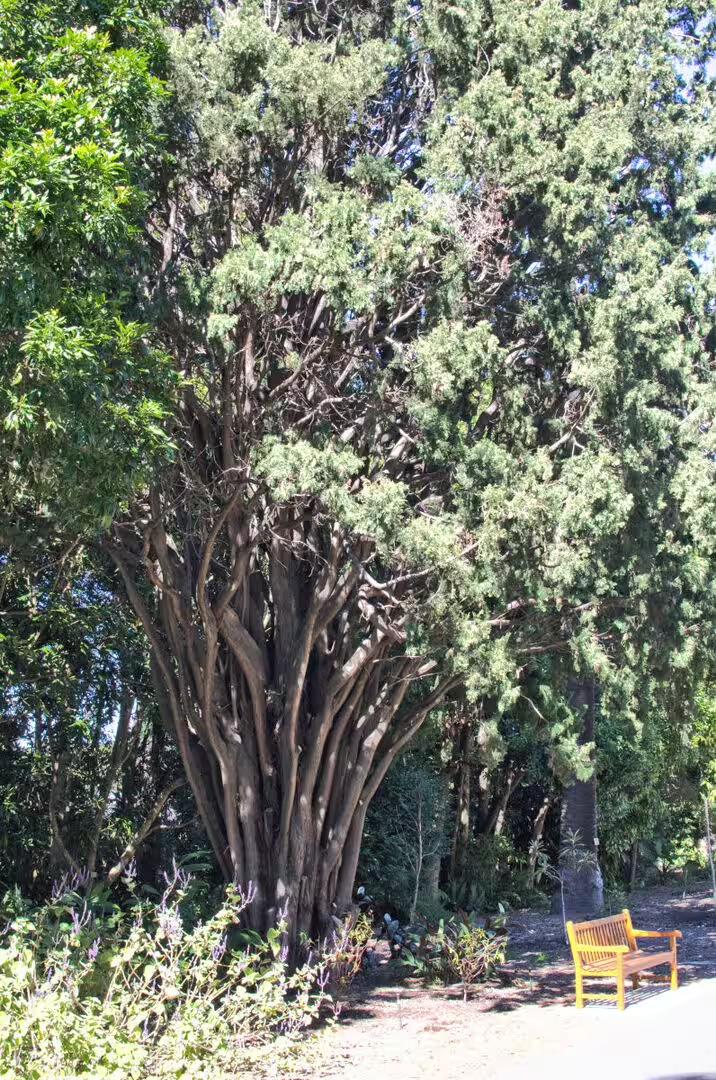
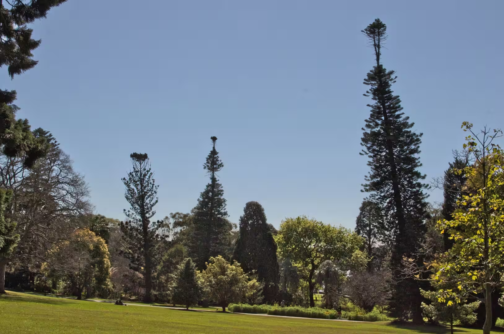
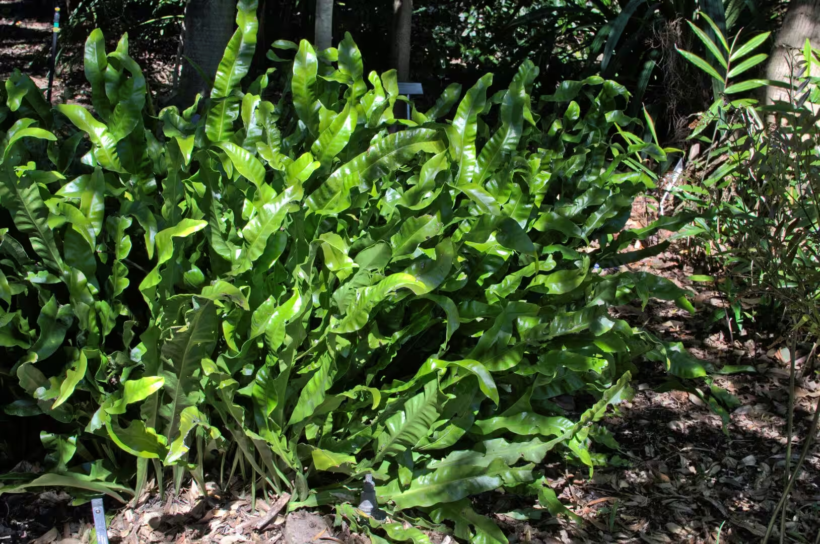
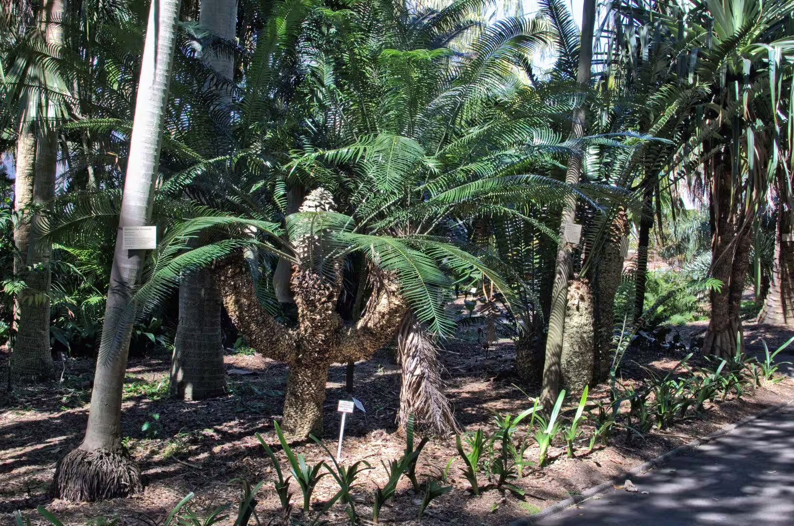
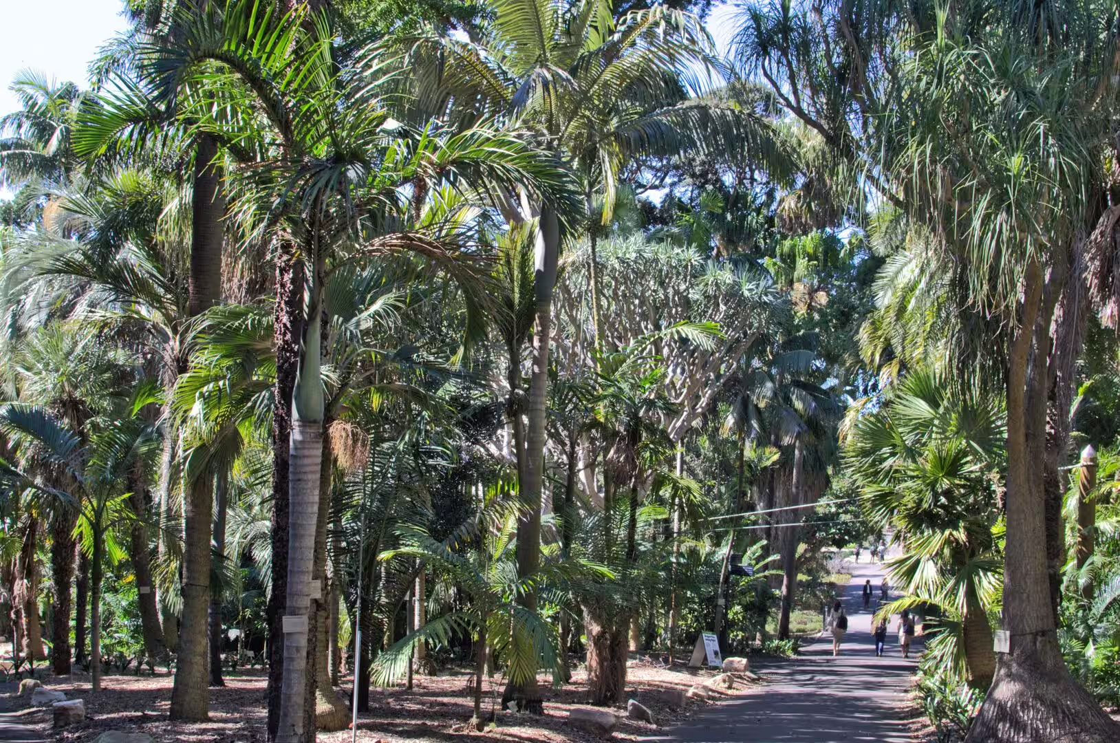
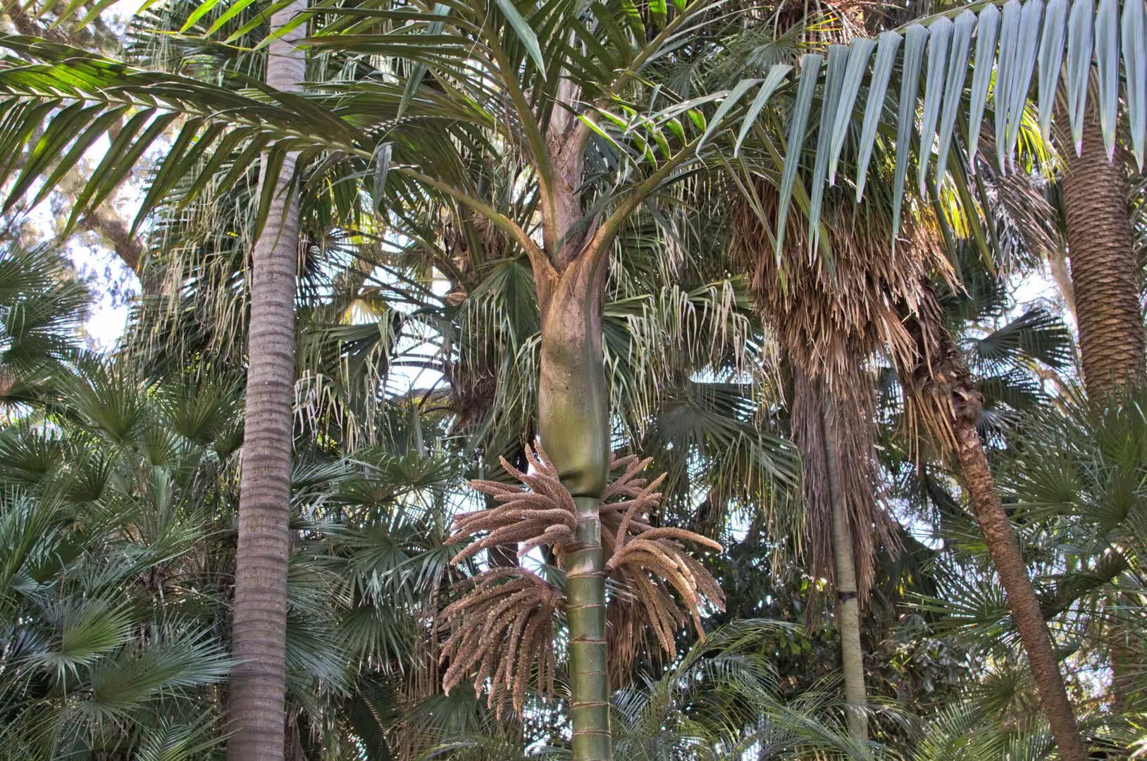
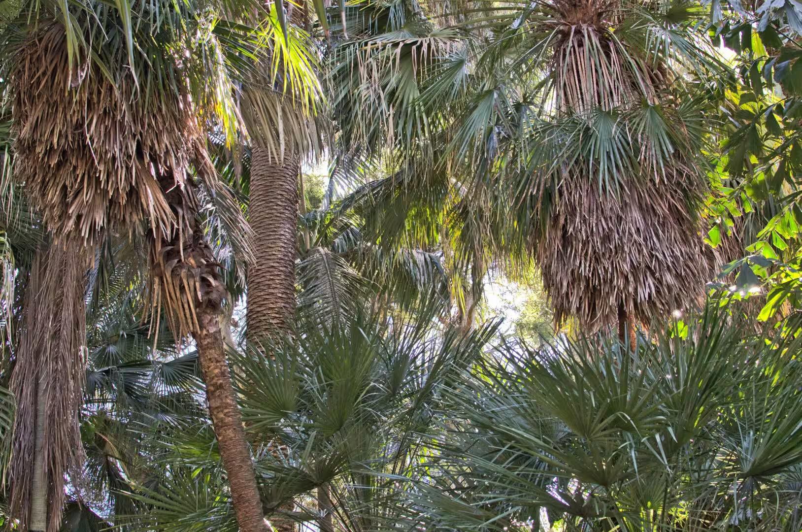
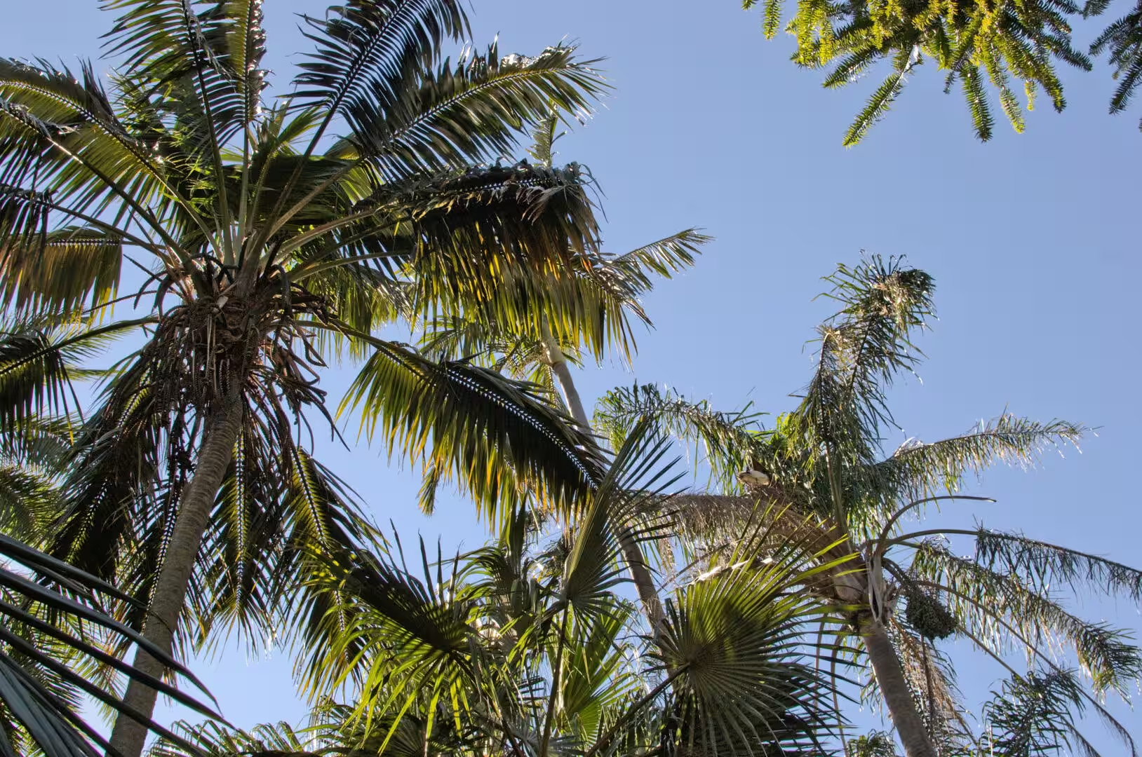
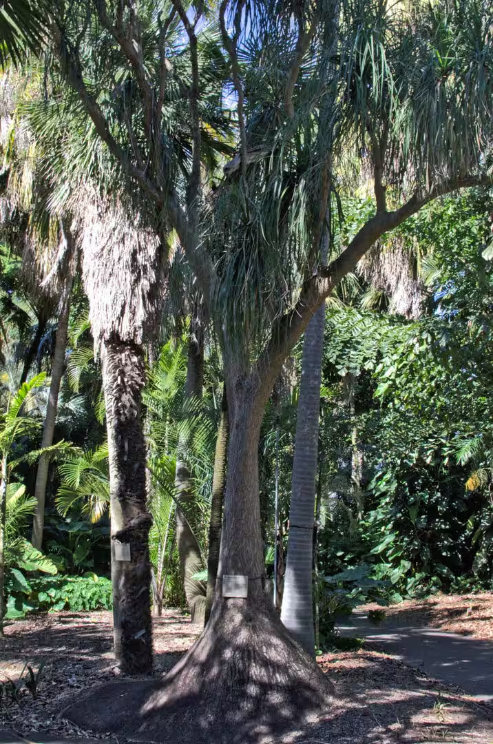
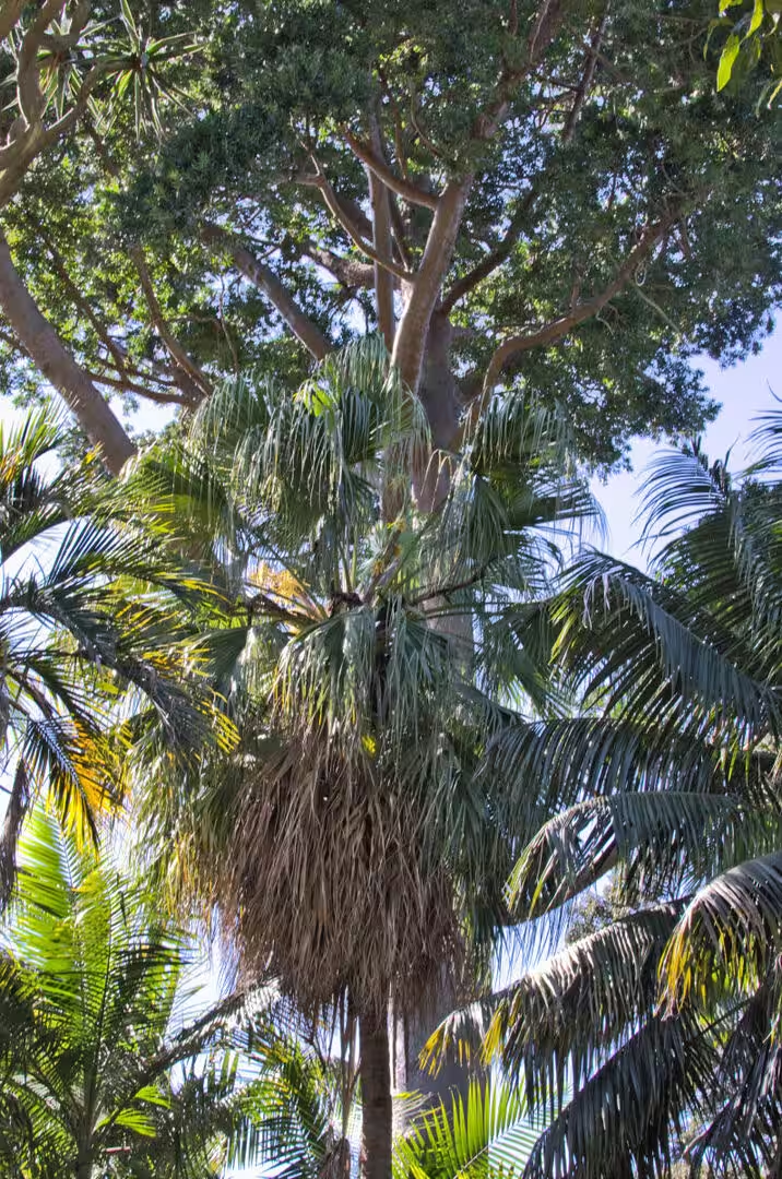
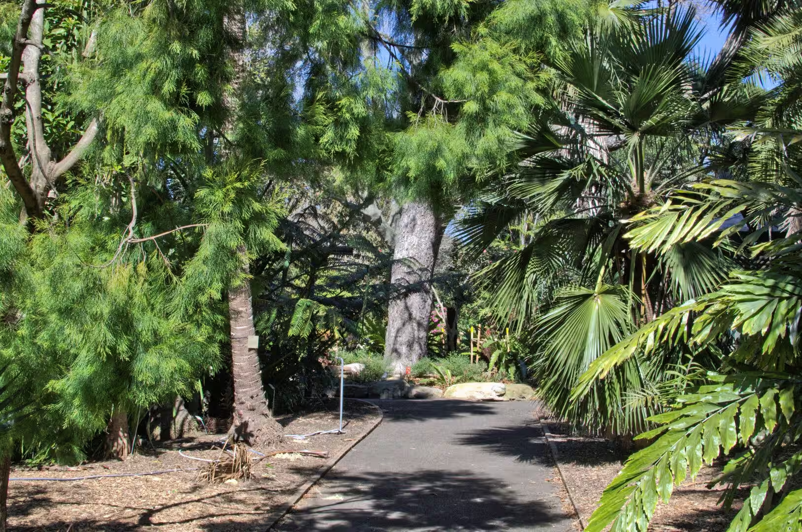
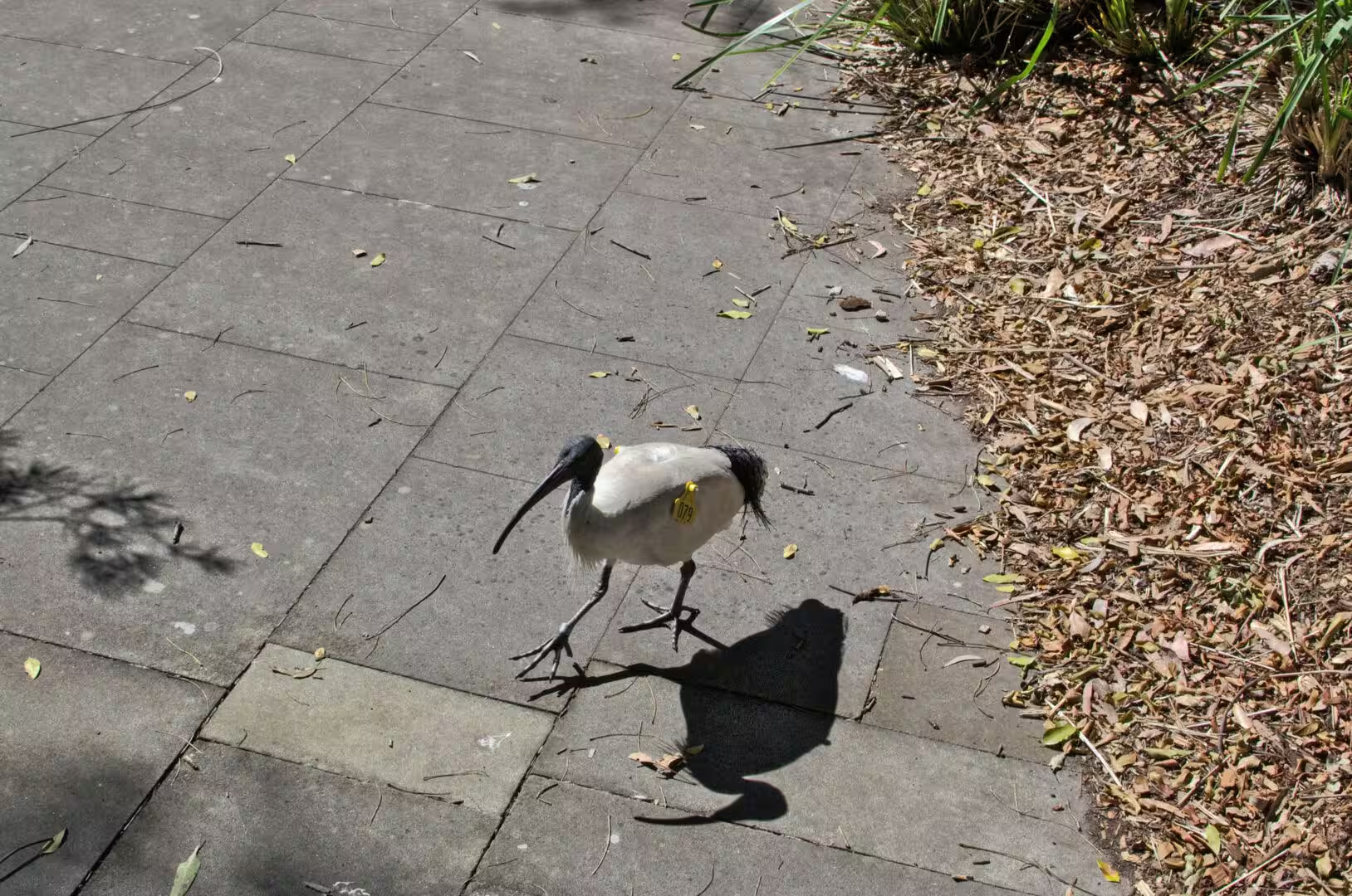
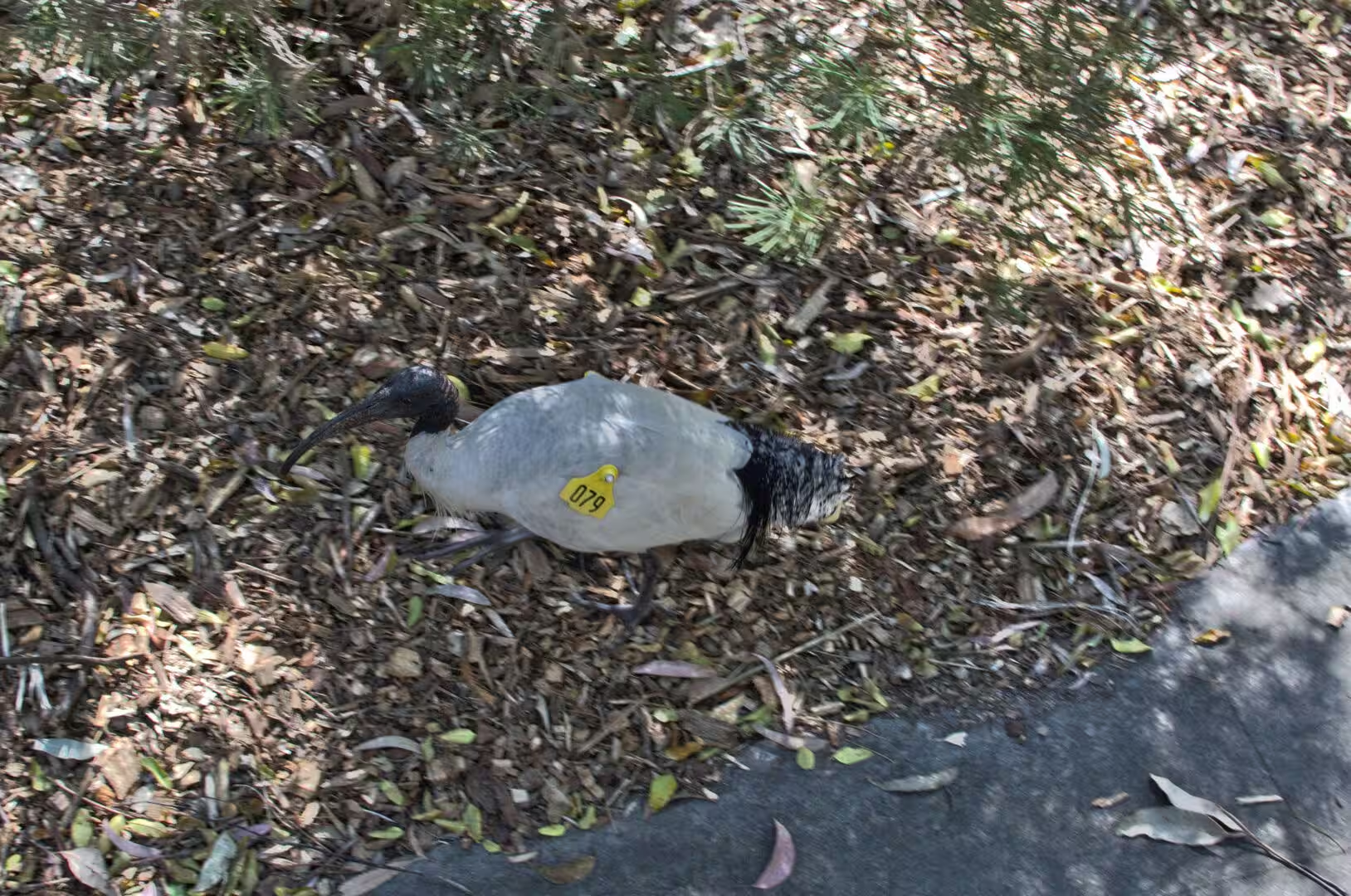
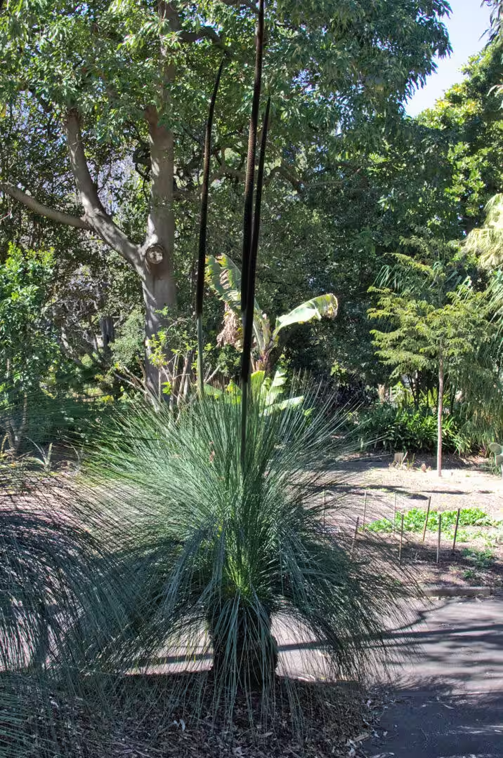
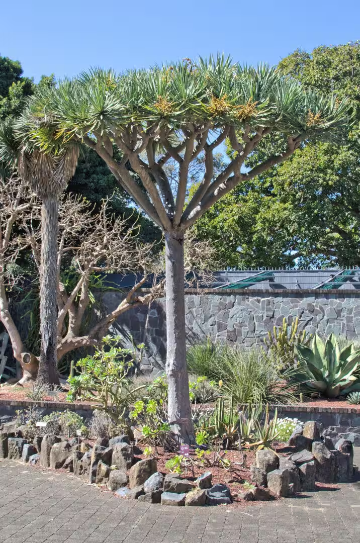
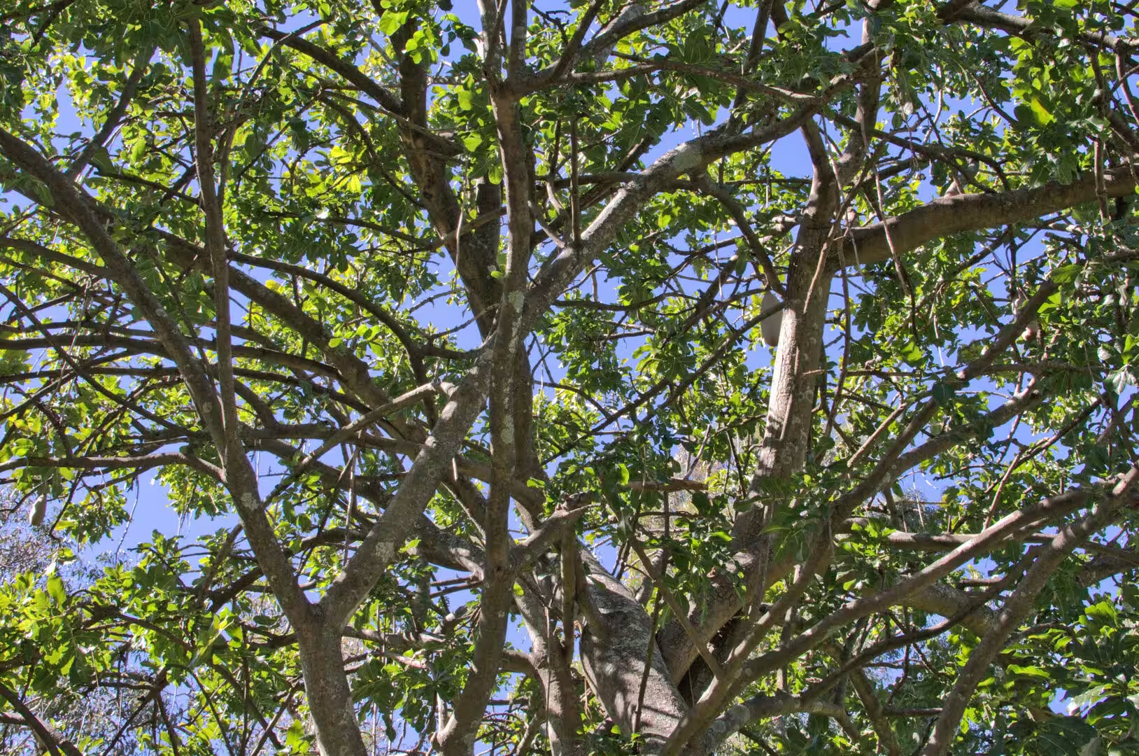
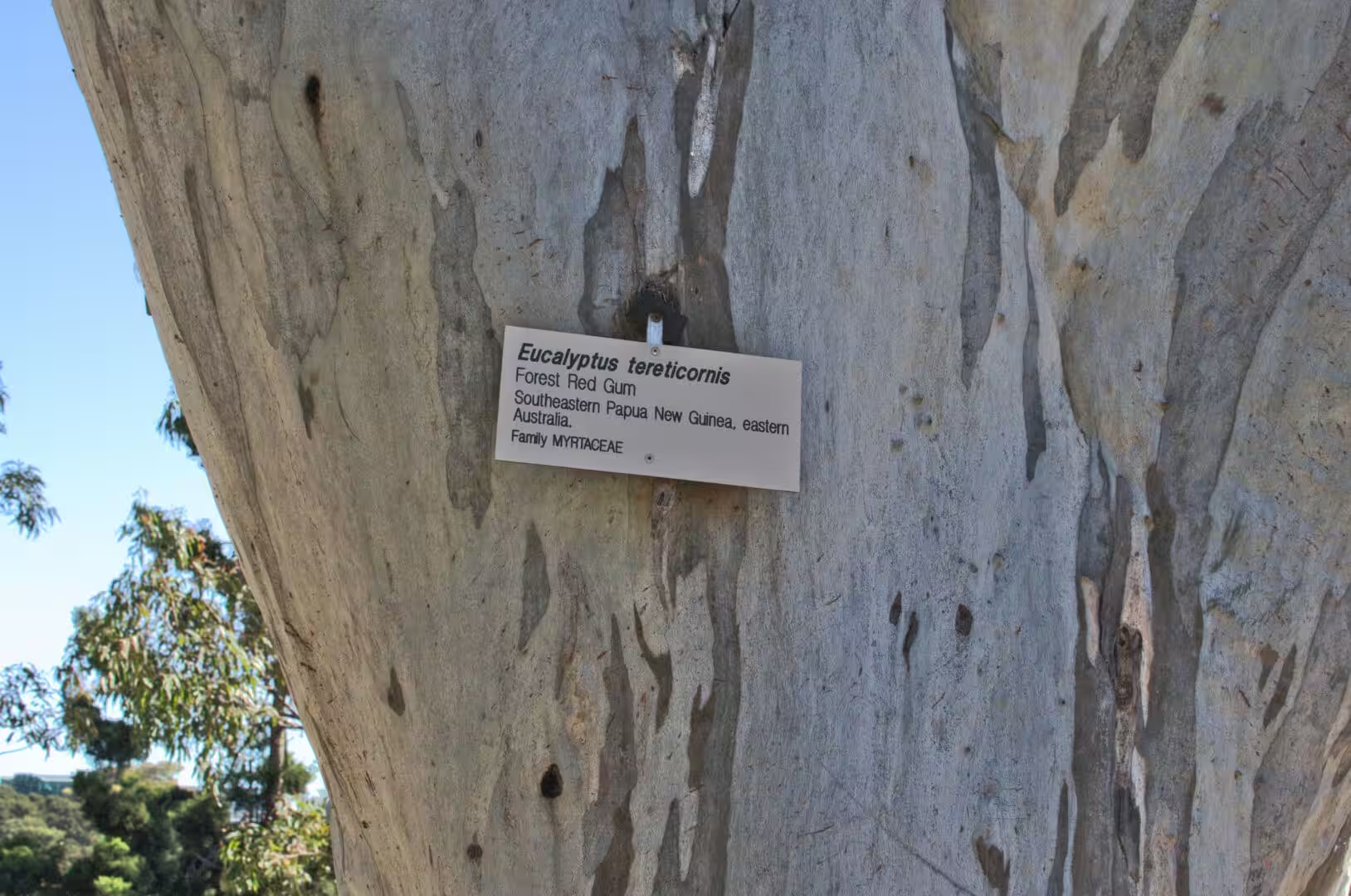
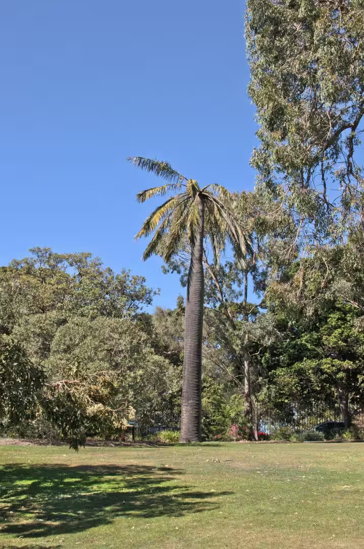
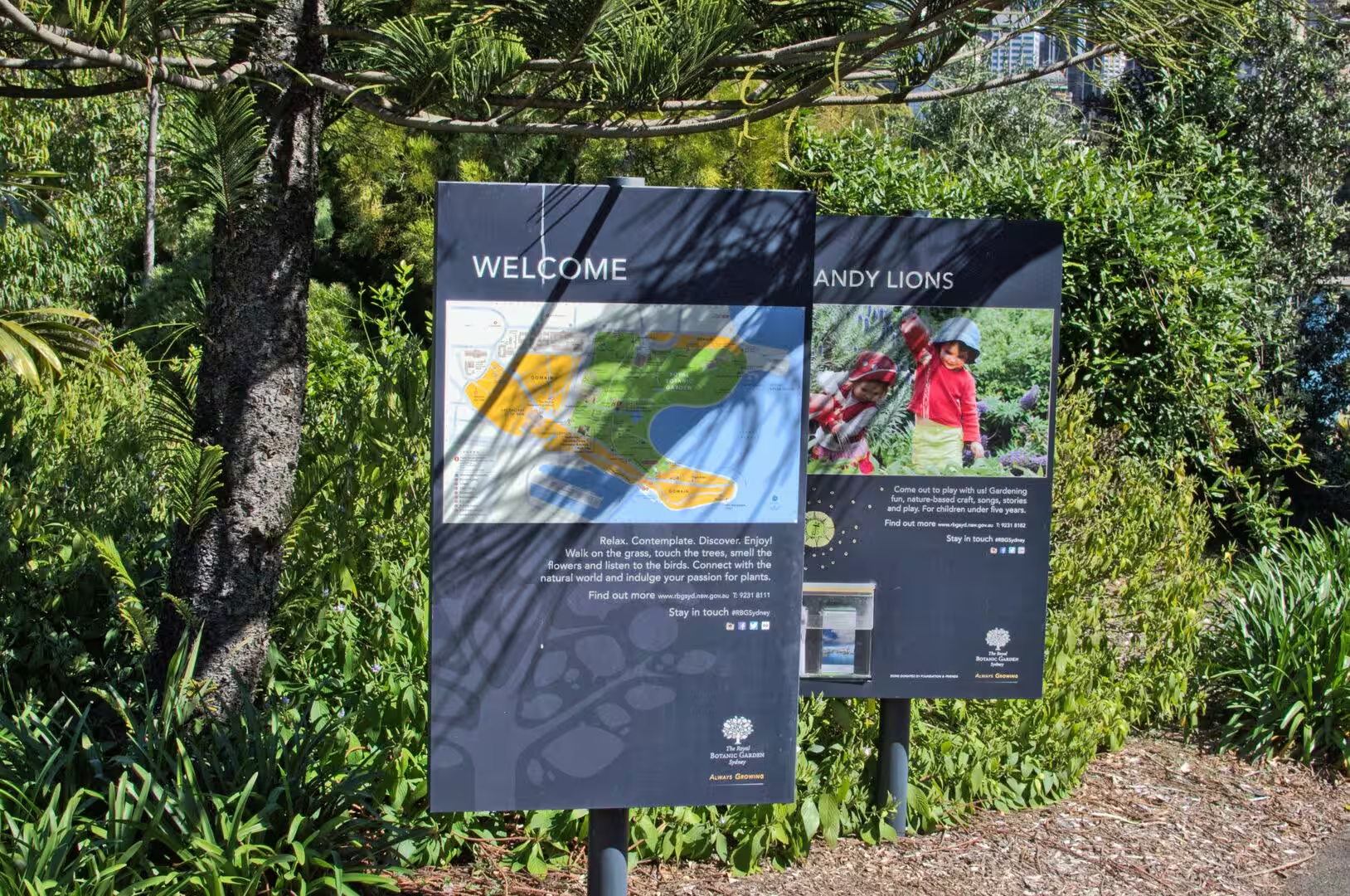
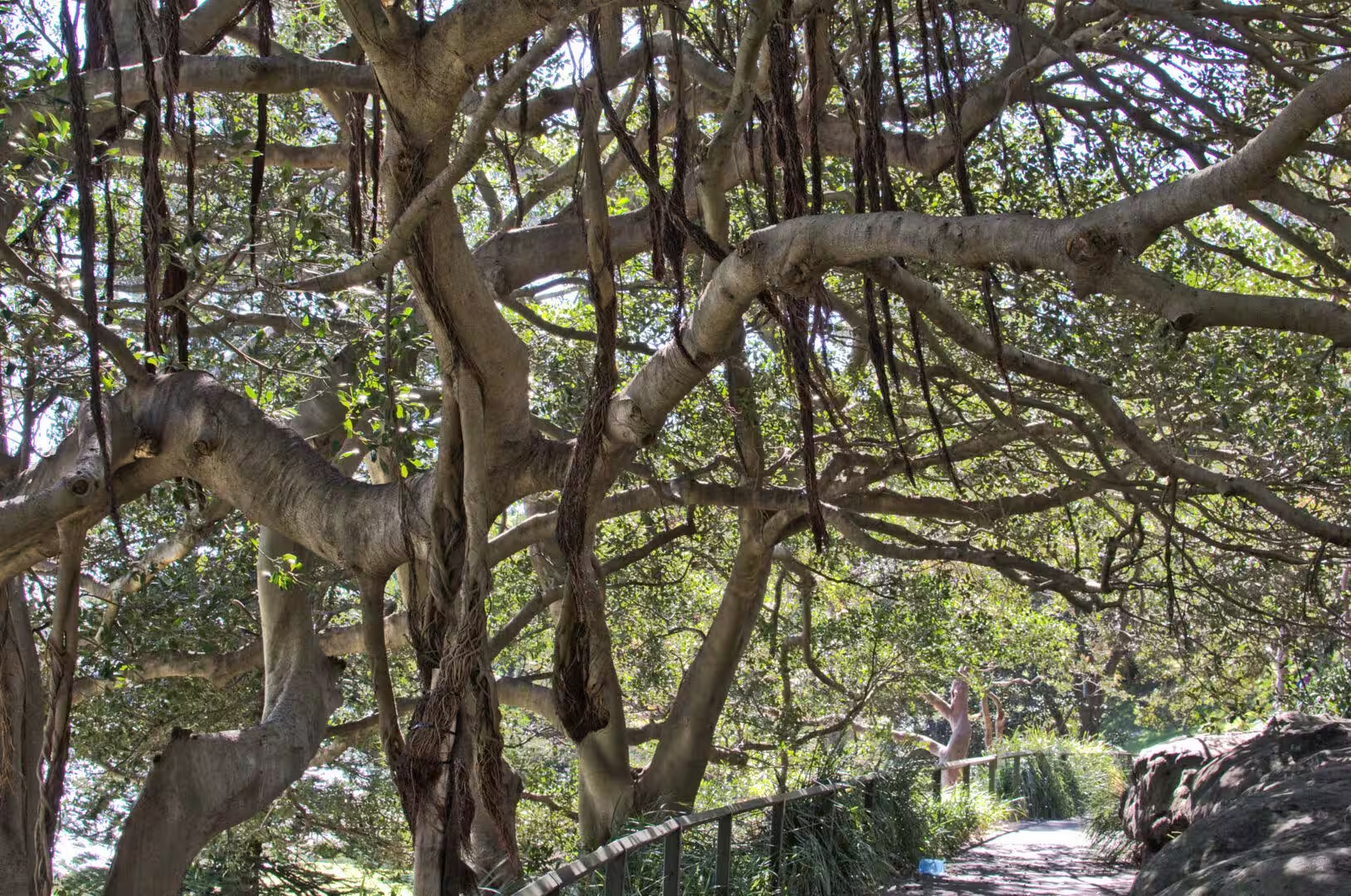
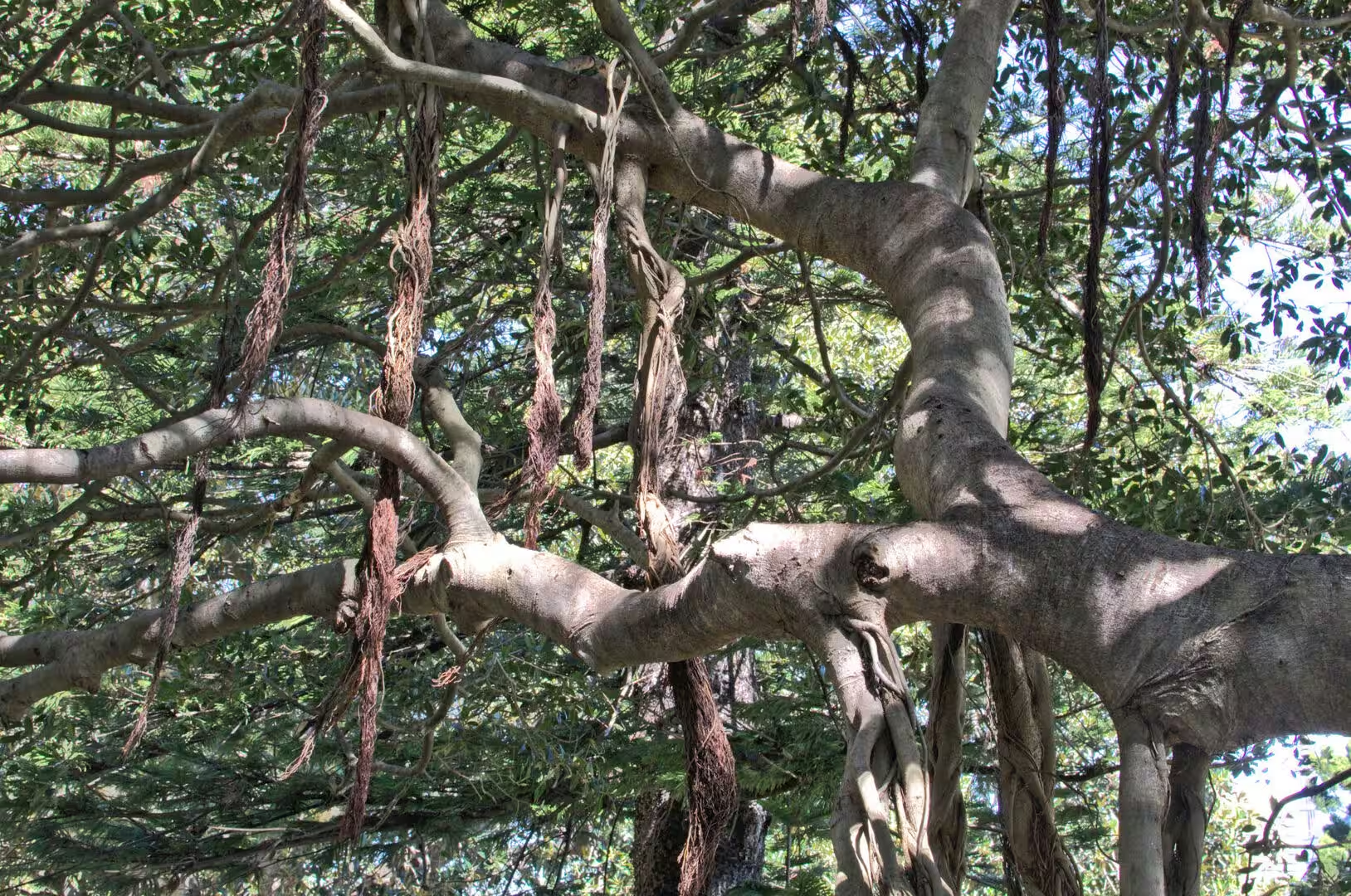
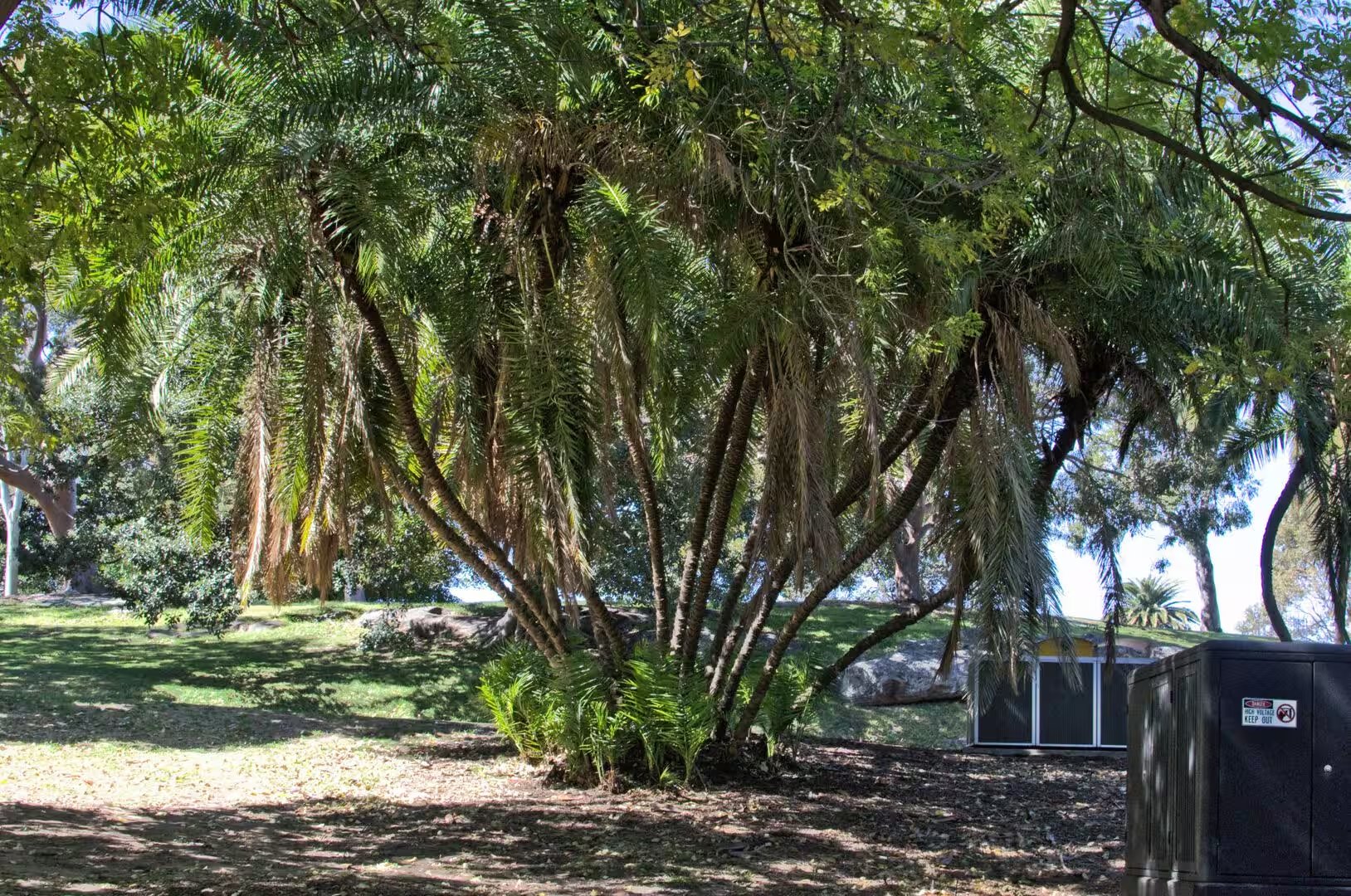
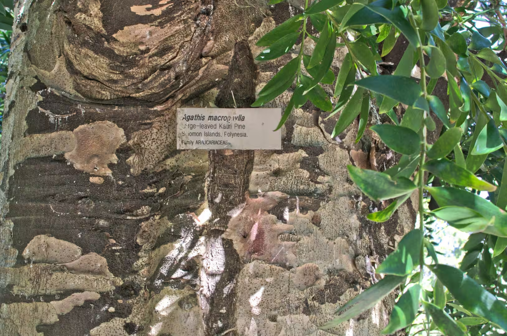
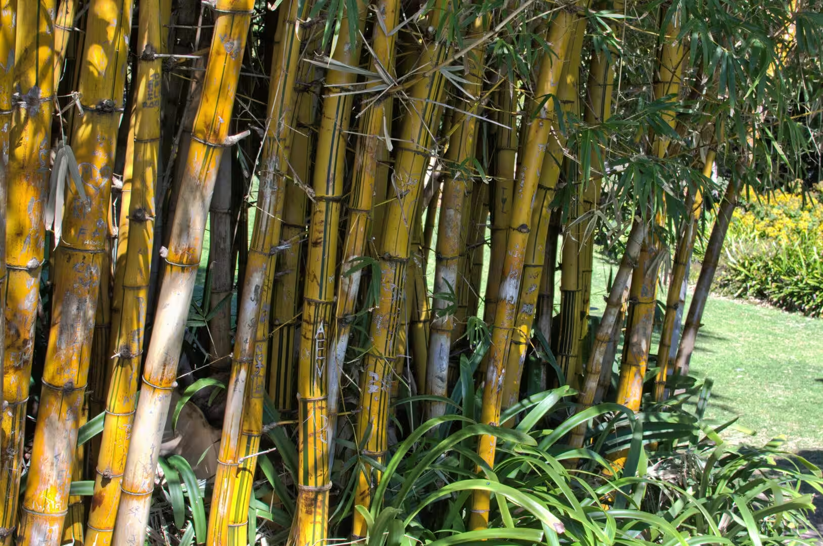
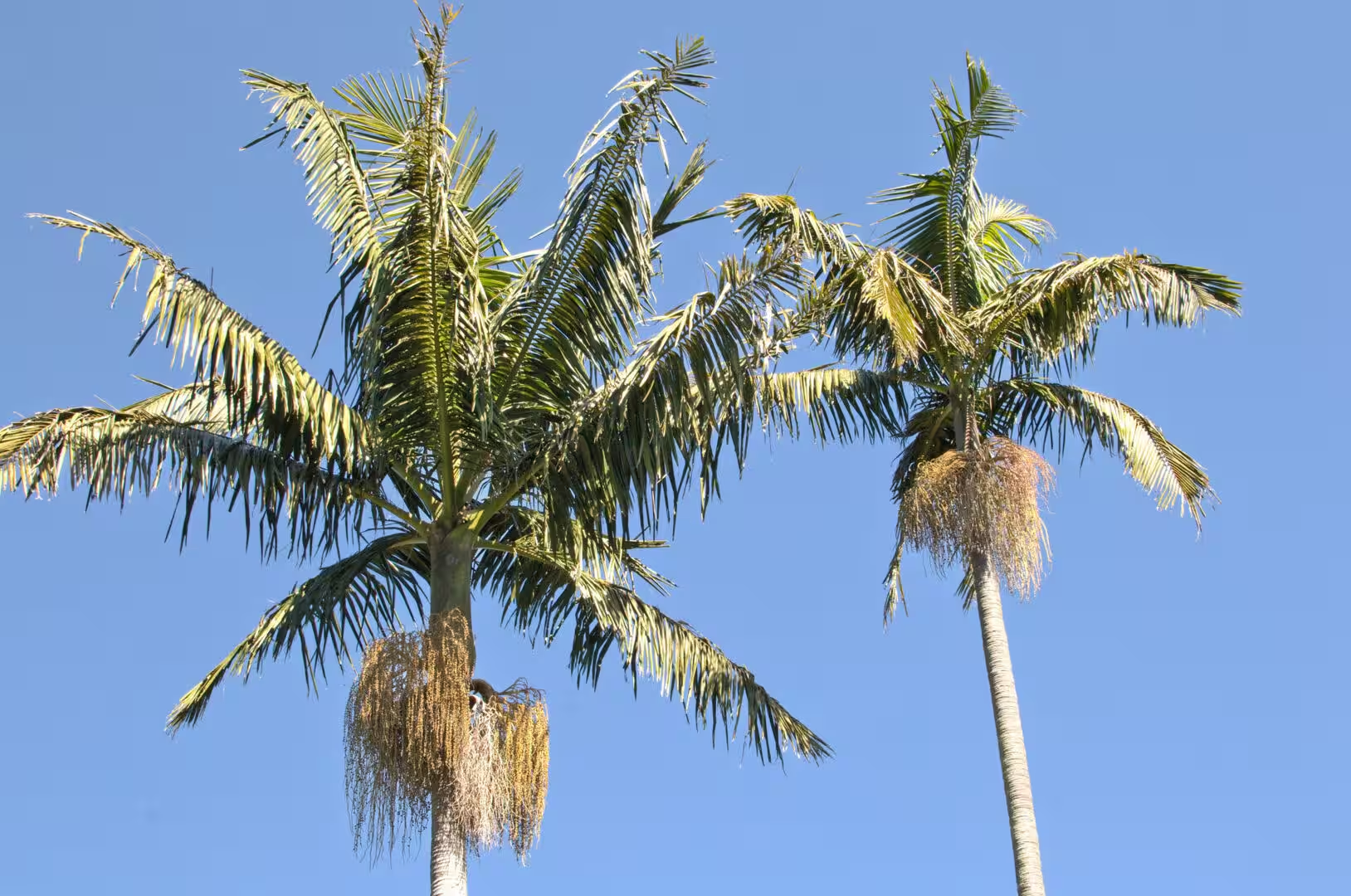
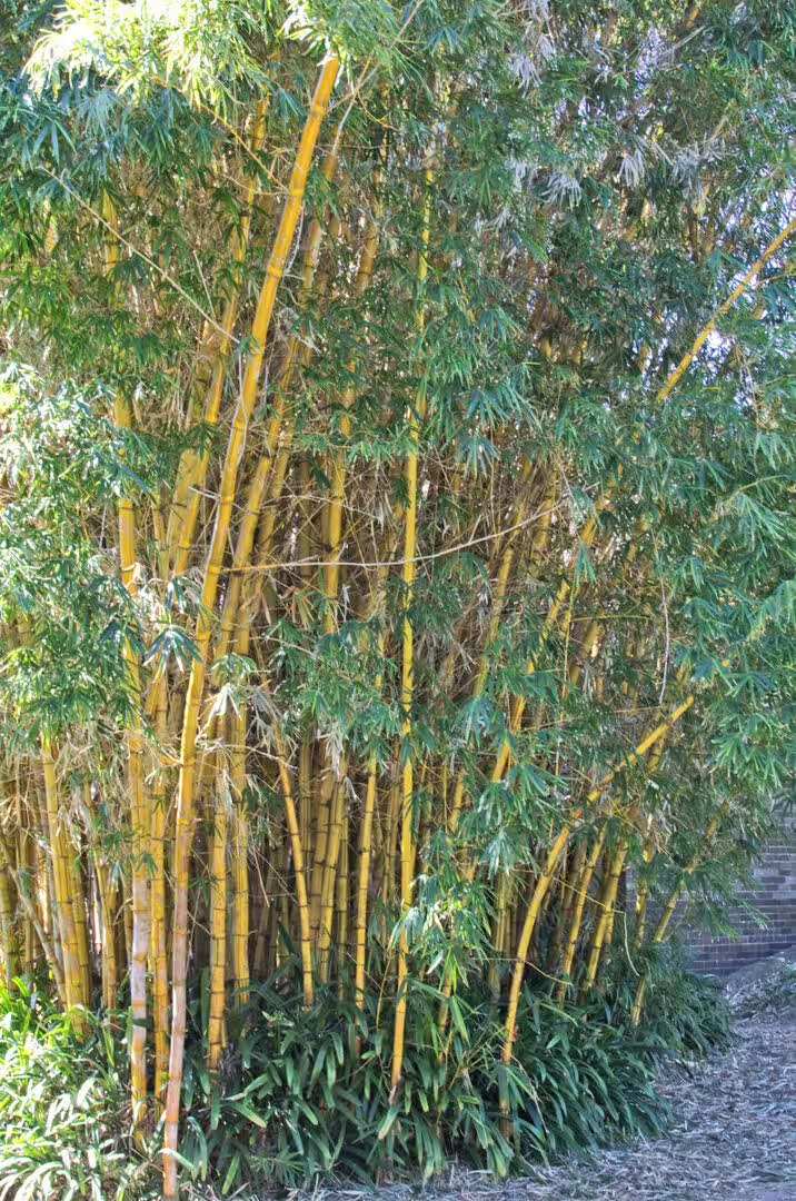
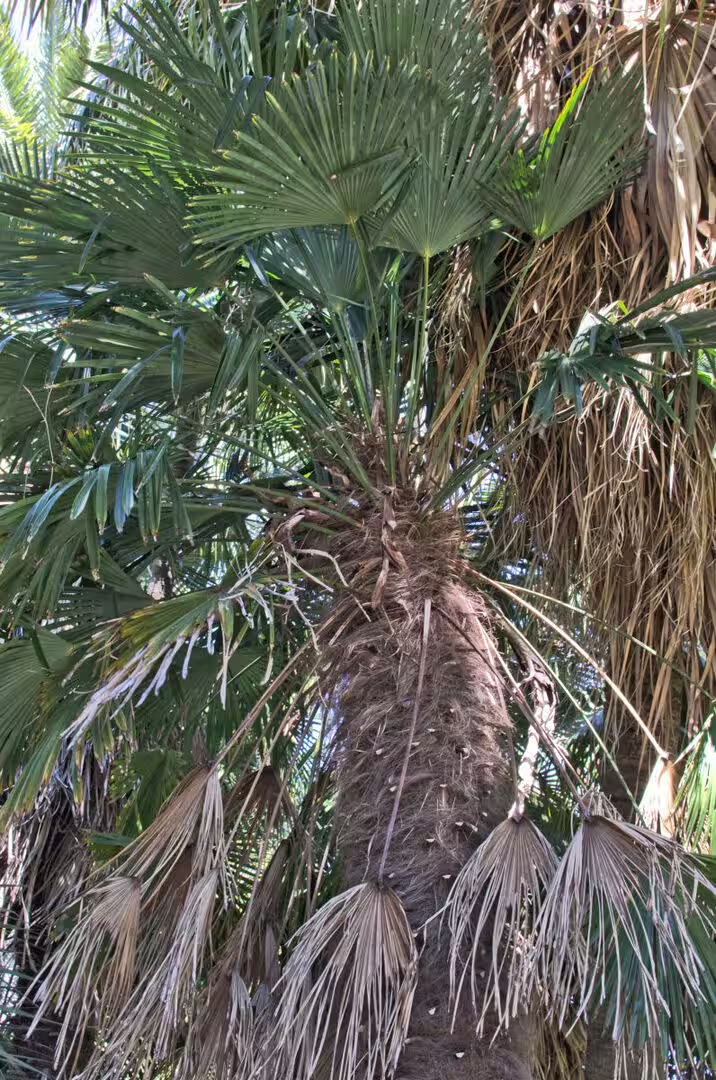
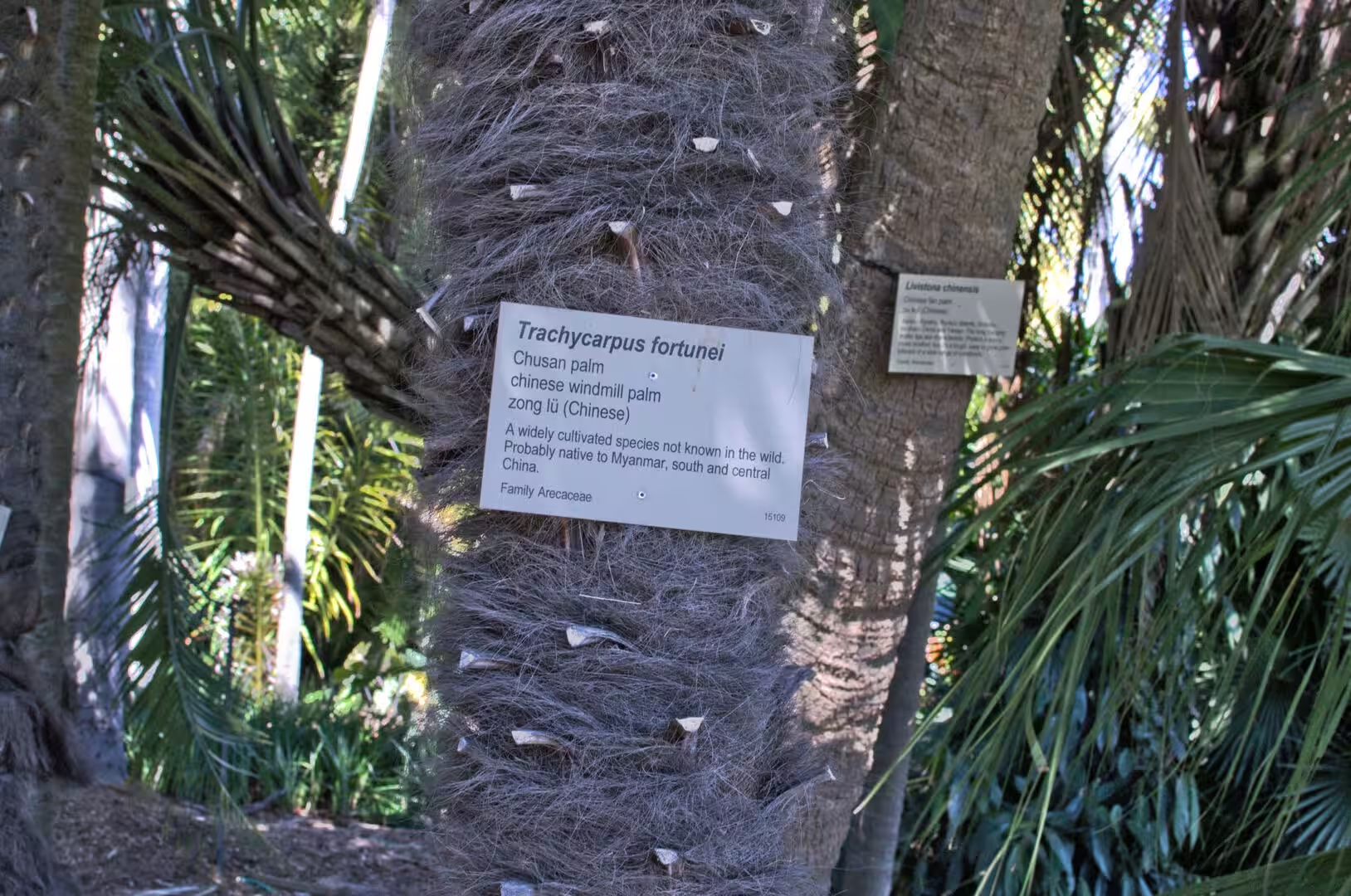
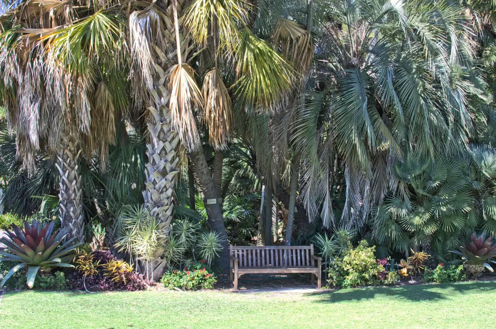
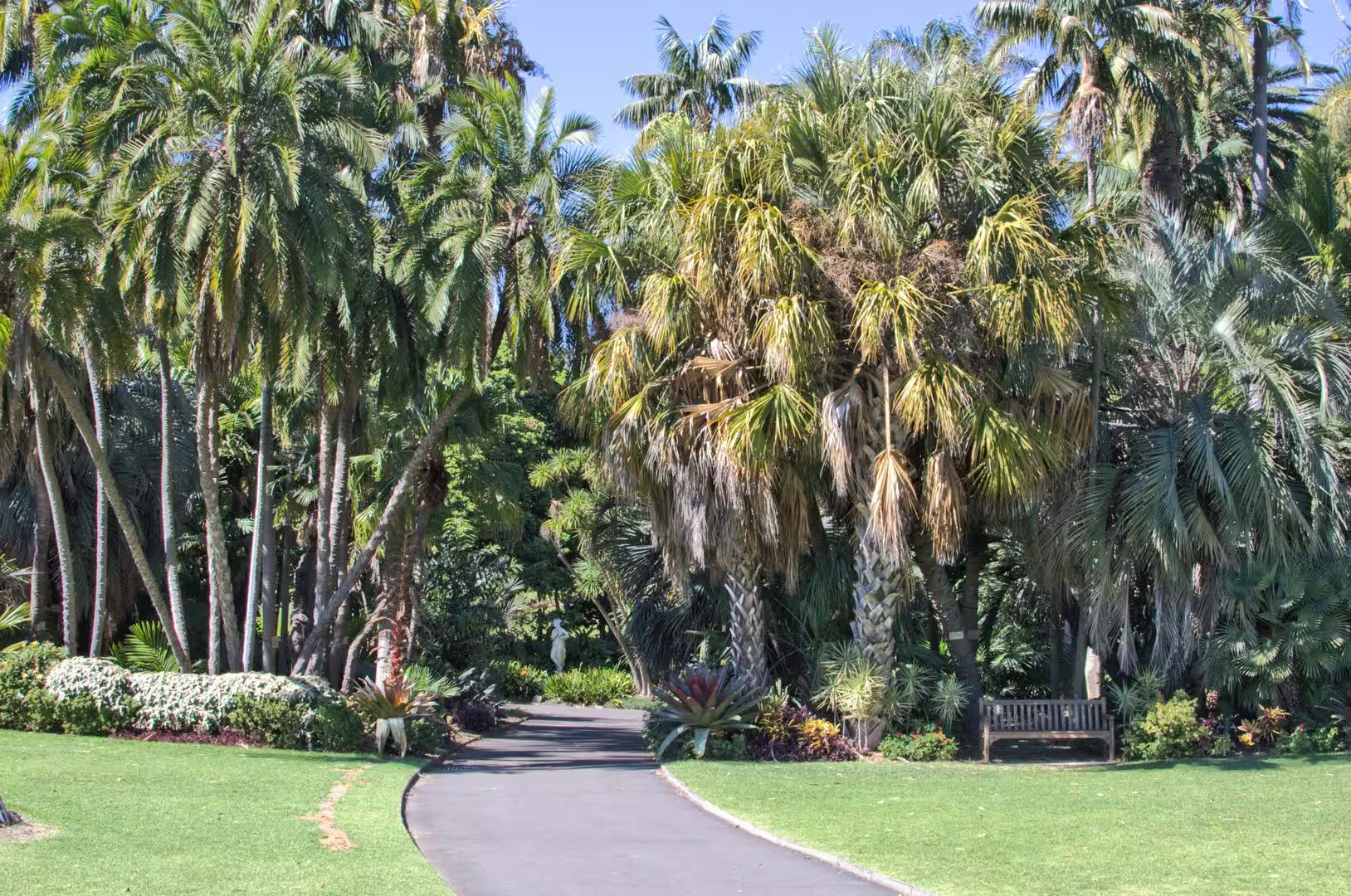
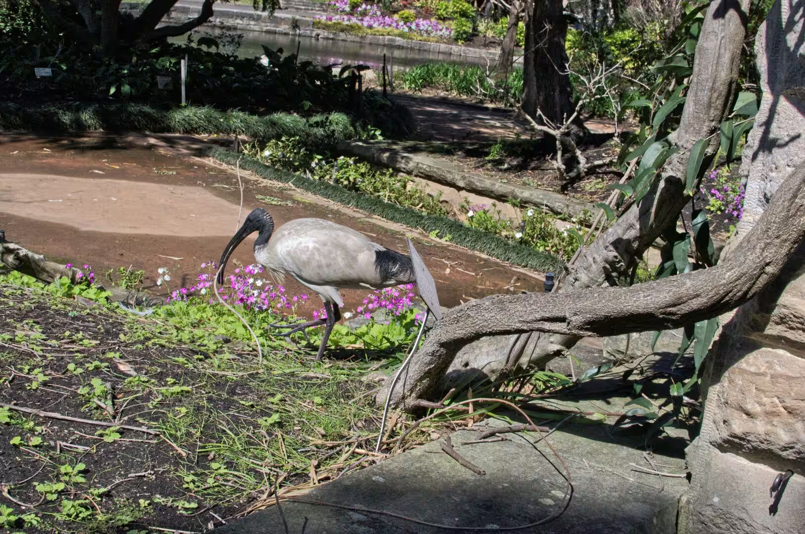
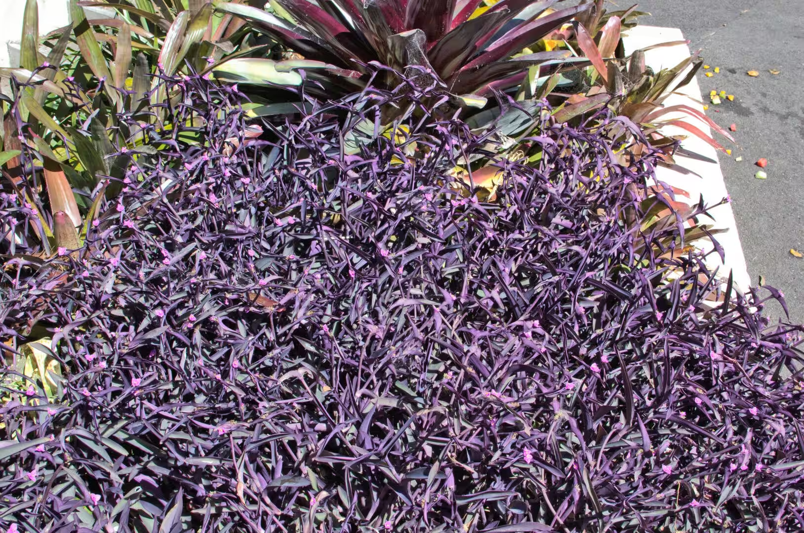
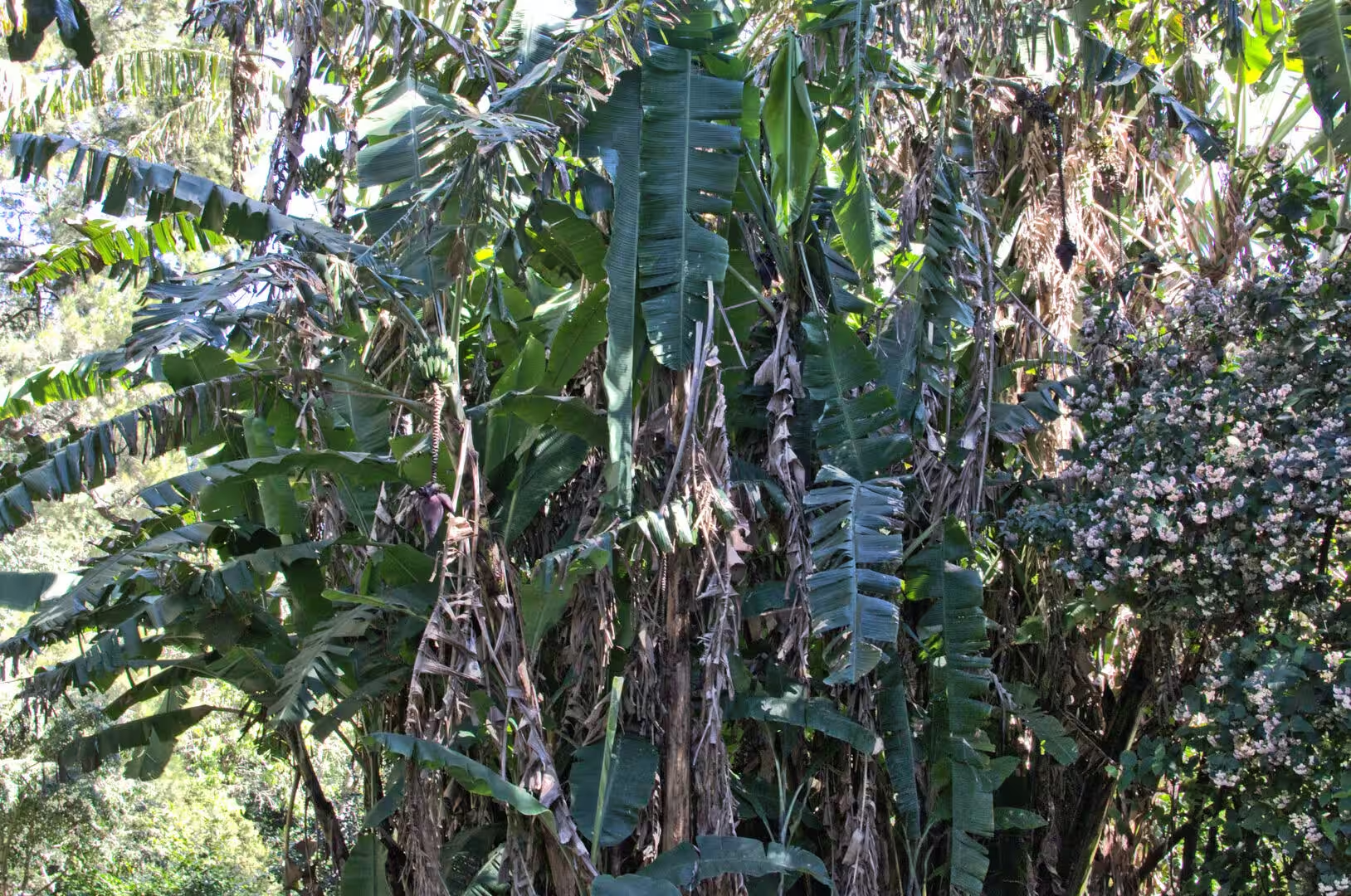
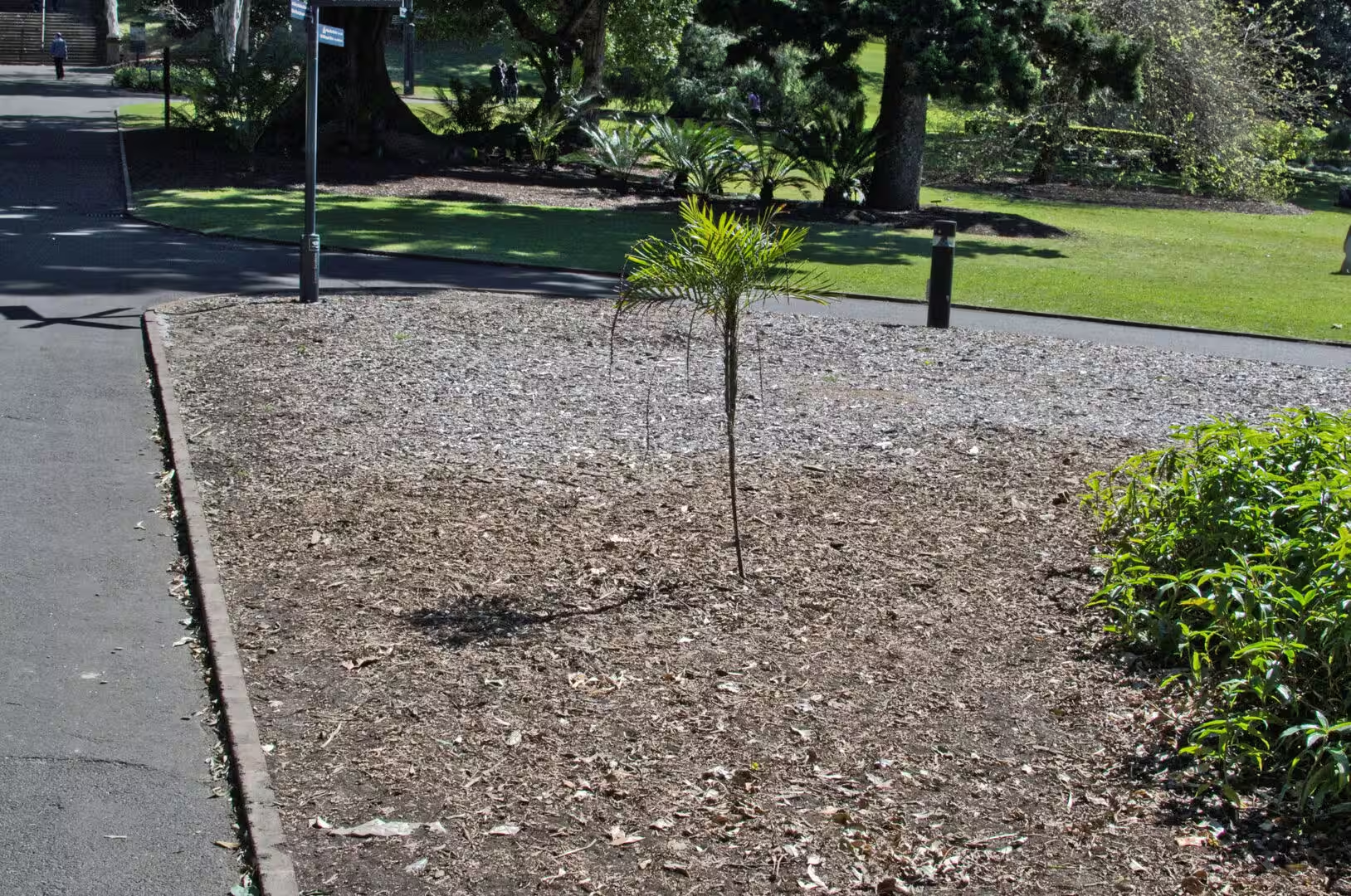
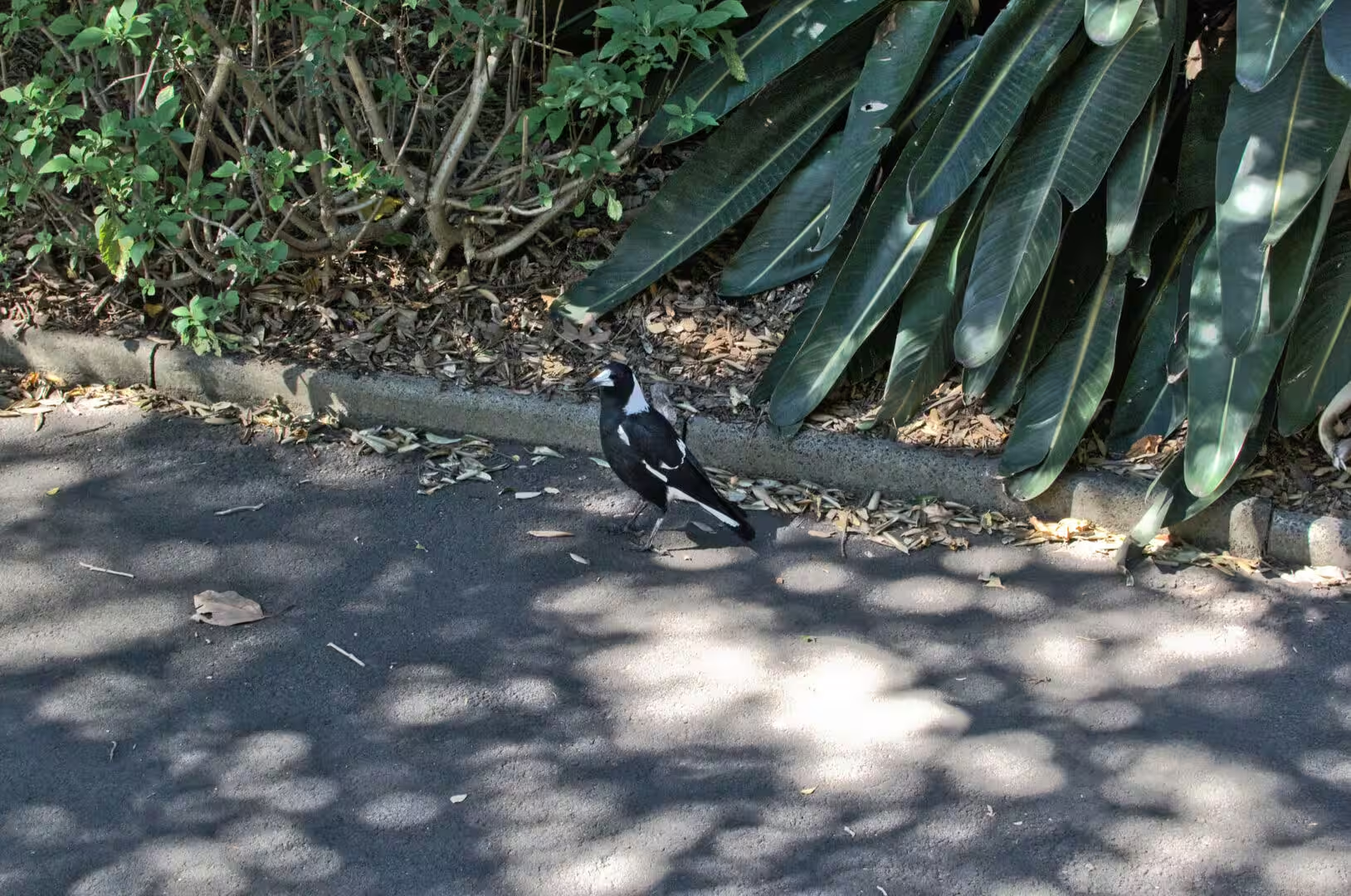
The garden is also a collection, and the labels beside the plants are worth reading. There is a Moreton Bay fig with a curtain of aerial roots and a trunk like a wall, a strangler fig whose roots hang down to the path, thickets of bamboo, palms of a dozen species, a shrub carrying crimson powderpuff flowers and a signboard naming it, and a signpost pointing the way to the State Library of New South Wales beyond the foliage. The birds are used to people, and a magpie standing on a path will hold its ground until it is stepped around.
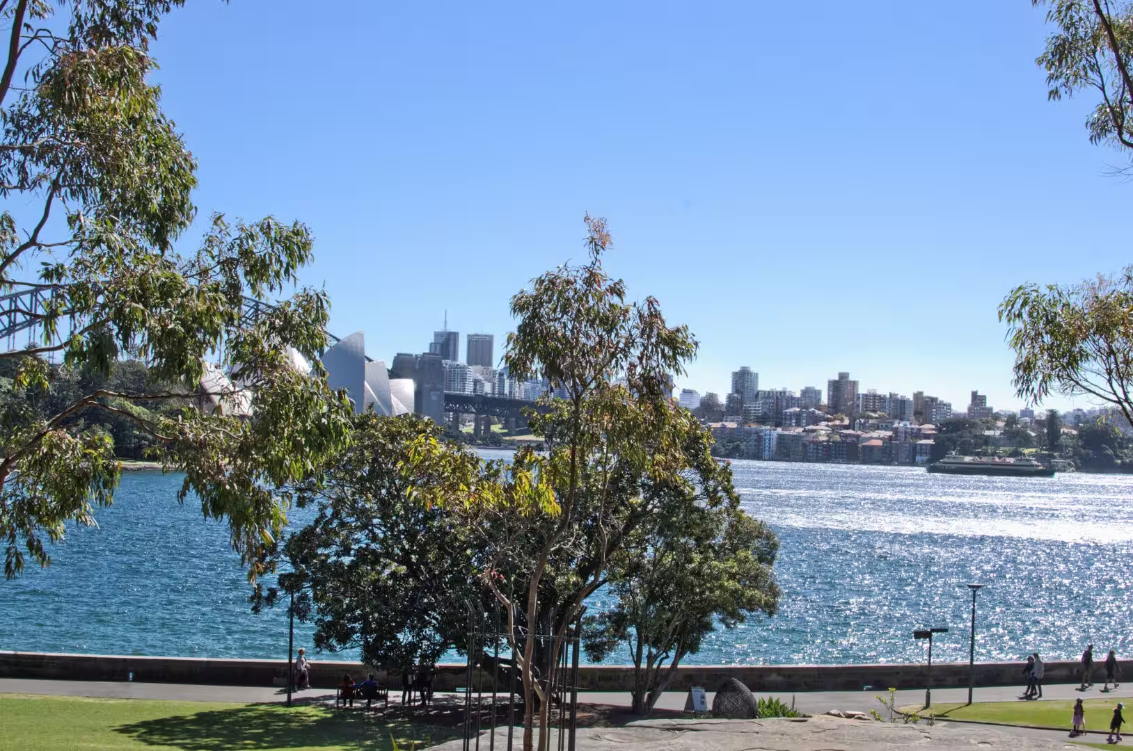
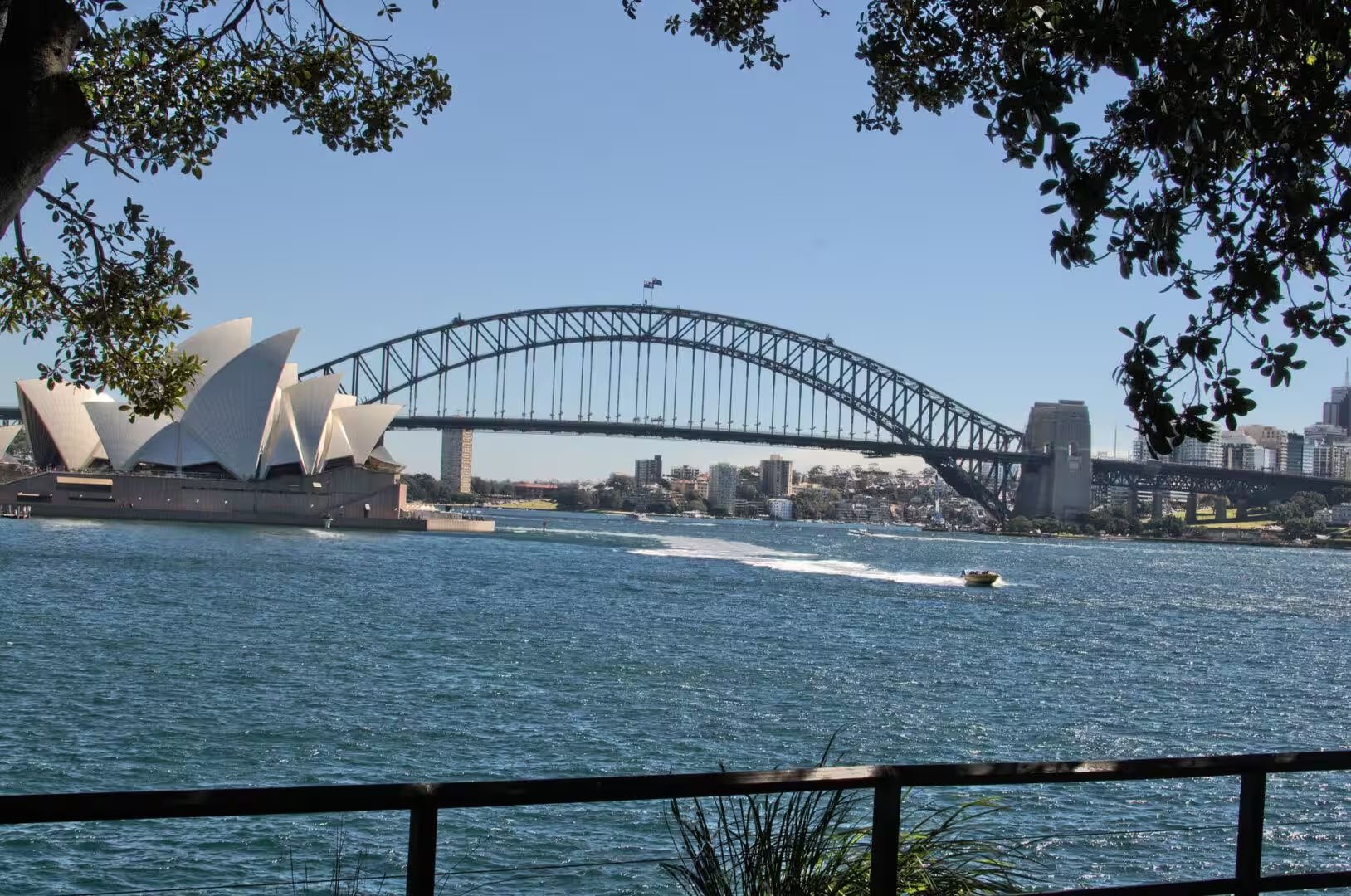
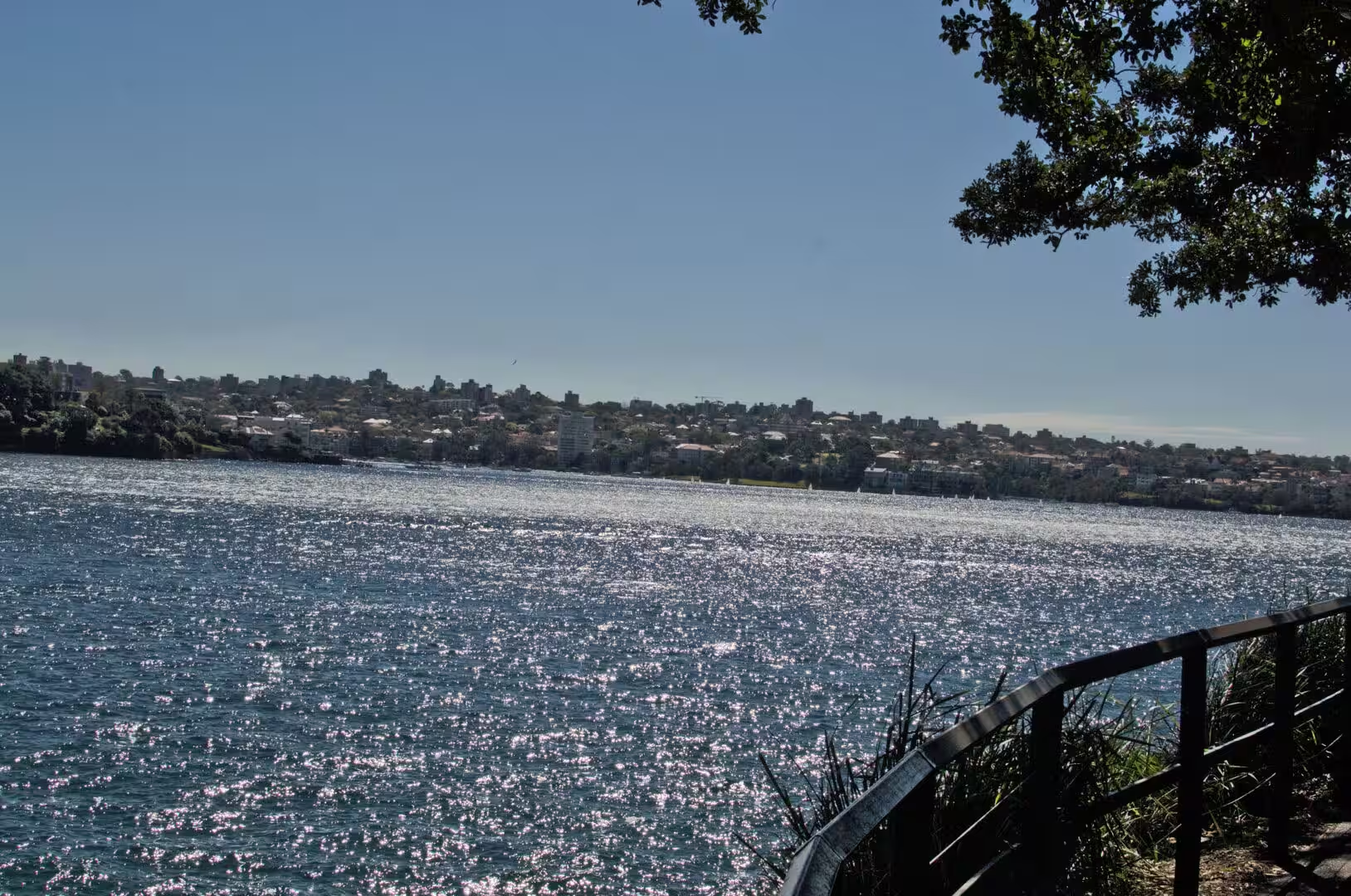
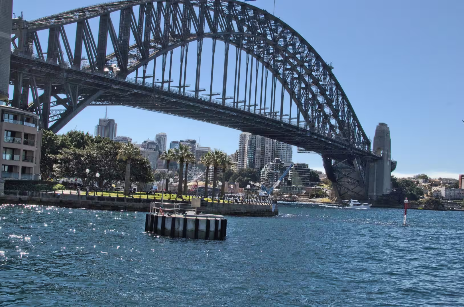
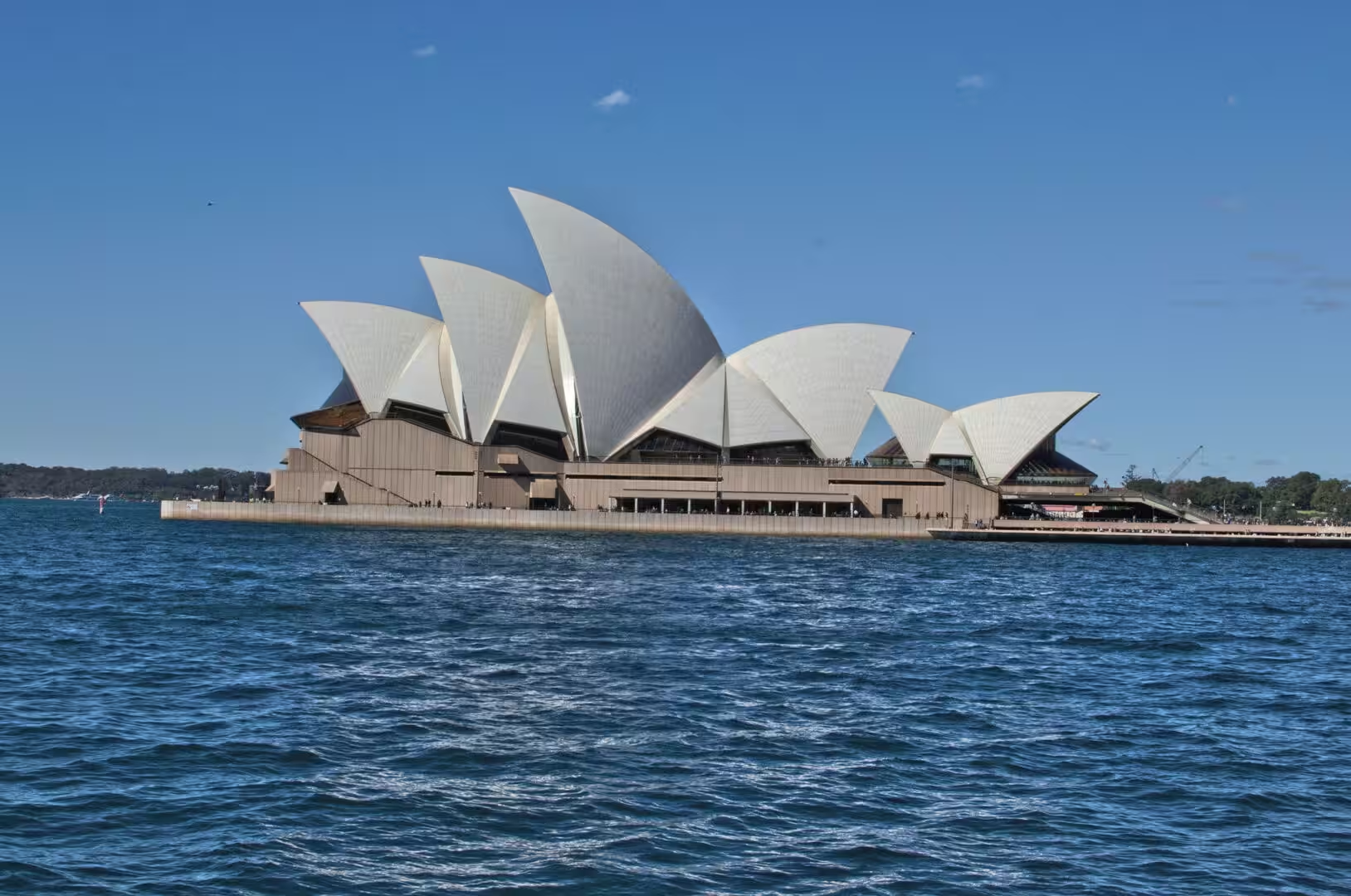
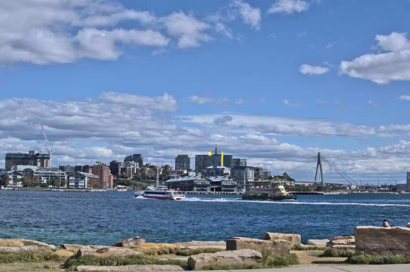
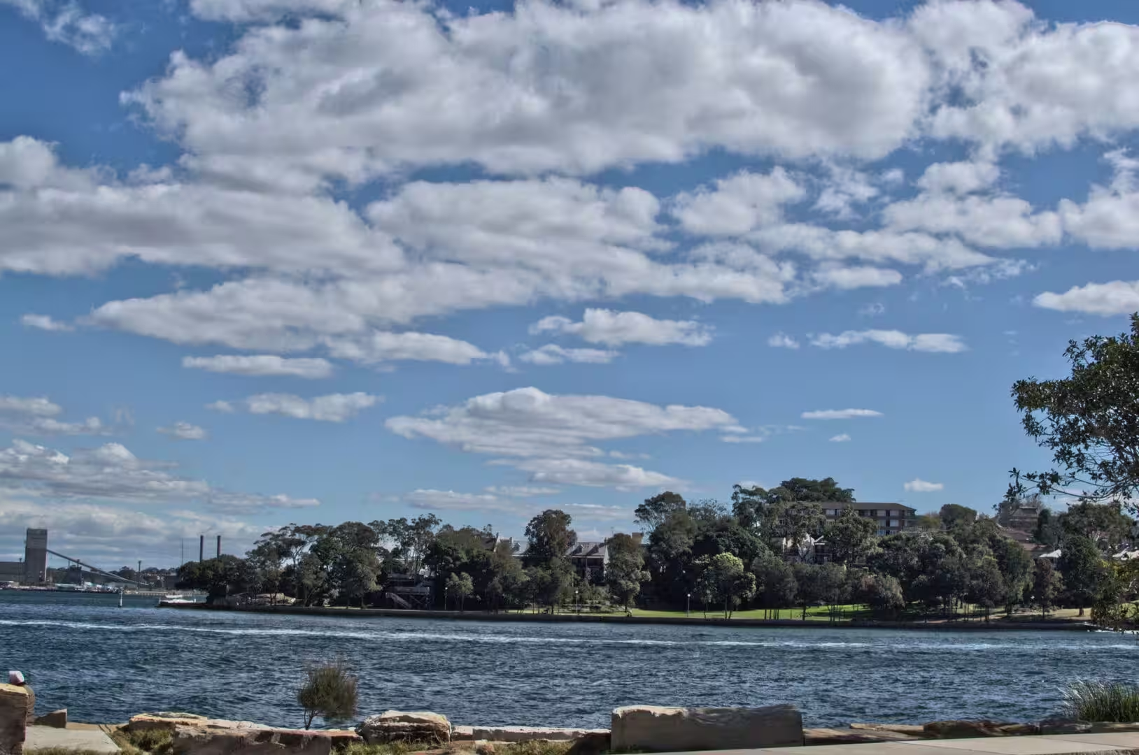
The day ended at the water at the end of the garden. From the stone colonnade at Mrs Macquaries Point the harbour opens out with the naval base on one side, the Opera House and the bridge on the other, and the ferries crossing between them. It is the best free view in the city, and on the day it was shared with a wedding party, two picnics and a group of schoolchildren, all of them taking turns at the railing.
History
The garden is the oldest scientific institution in the country. It was established in 1816 on the shore of Farm Cove, where the first attempt at farming in the colony had been made and abandoned a generation earlier, and it has been in continuous use as a garden and a research collection ever since. The site was chosen because it had water, shelter and good soil, and the collection grew from the medicinal and food plants of the early colony to the systematic botanical collection of the present.
The garden is also the beginning of the city’s system of parks. From the Domain and the garden, a chain of green space runs along the harbour and through the eastern suburbs, and the land it occupies was reserved from the earliest years of the settlement rather than being sold and built on. That decision is the reason the harbour has a continuous public edge on its southern shore, and it is the single most valuable inheritance that the colonial administration left the city.
The statues along the way are a history lesson in bronze and stone. They include governors, explorers, politicians and poets, and one of them, the carved sandstone bench at the end of the headland, was made by convict labour. Mrs Macquarie’s Chair is a rock cut into the shape of a seat on the peninsula in the harbour, hand carved by convicts in 1810 for Elizabeth Macquarie, the wife of the governor of the day, and it has been a viewpoint ever since: the place where the colonial gentry came to watch the ships come in and the place where visitors now come to see the two symbols of the city in one frame.
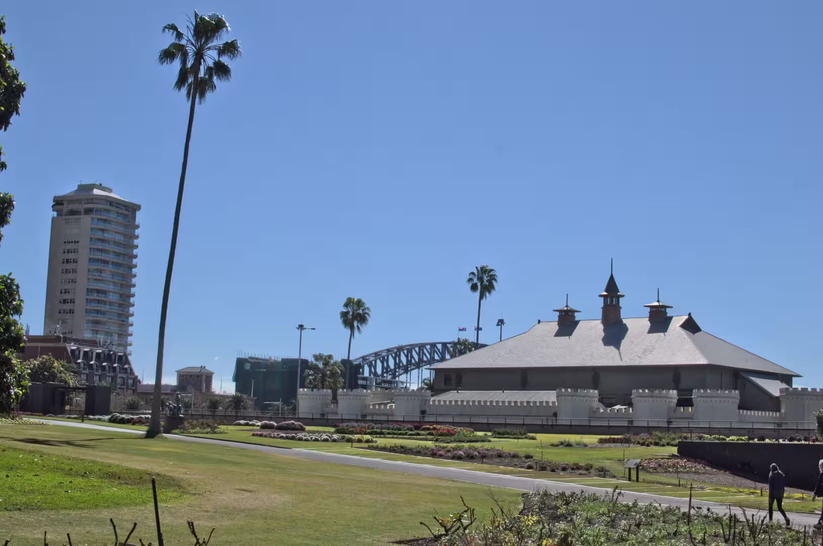
The library and the buildings beside the garden belong to the same story. The State Library of New South Wales holds the journals, the maps and the paintings of the exploration and settlement of the continent, and its reading rooms are open to the public. Nearby, the sandstone buildings of the colonial period and the later institutions stand along the water, and the castle-like structure with the clocktower that appears between the trees near the Conservatorium is one of the oldest surviving buildings of the government of the colony, built in the 1820s as the stables of Government House.
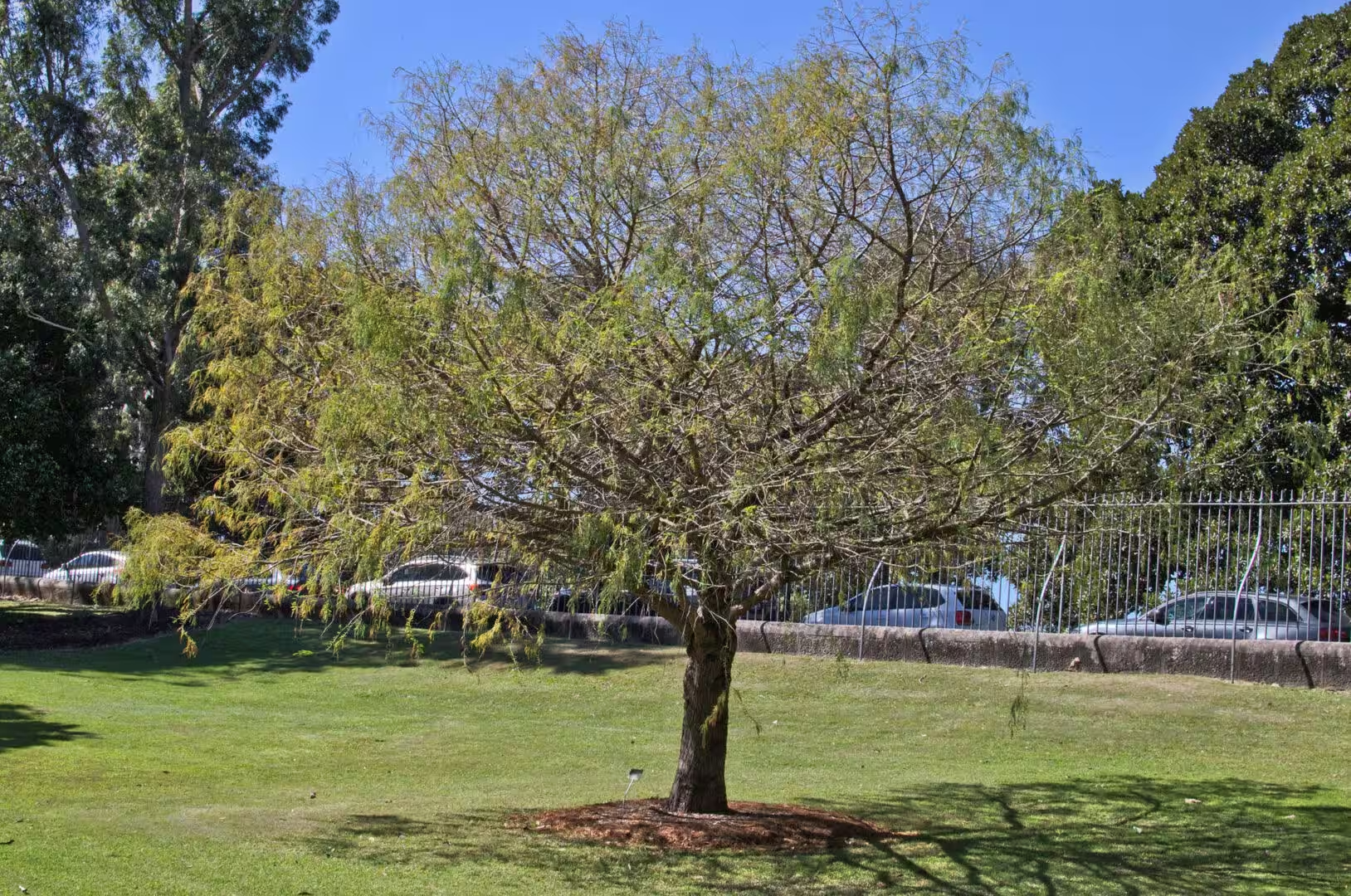
The colonial administration that made the garden also made the rules that kept it. Land along the harbour was reserved for public purposes in the 1800s, the Domain was set aside for the recreation of the residents, and the garden was given a scientific brief that it still follows: to collect, name and study the plants of the region and the plants that can be grown in it. The tree that was planted in the garden in the nineteenth century and is now a specimen on a lawn is the visible result of that brief, and the herbarium and the seed bank behind the scenes are the invisible one.
Geology
The peninsula that carries Mrs Macquaries Point is made of the same sandstone as the cliffs of the harbour, and the walk out to it is a walk along the shoreline of the drowned valley. The rock is bedded in horizontal layers, the low cliffs above the water show the bedding and the joints, and the ledges at the water’s edge are the platforms that appear at low tide on every part of this coast. The point itself ends in a small cliff, and the land behind it rises gently to the ridge where the city stands.
The building stone of the city came out of the same formation. The sandstone was quarried at sites around the harbour from the earliest years of the colony, and it is the material of the older public buildings, the churches, the terrace houses and the walls of the gardens. The quarries have long since been built over, but the rock is visible in every excavation that the city makes and in every cliff that it has not yet covered, which is why the older parts of Sydney look as though they were cut from the ground they stand on.
From the point the layout of the harbour is visible in a way that it is not from the streets. The drowned valley runs from the heads to the west, the islands sit in the middle of it, the deep channels swing close to the southern shore at the point and then away again, and the shallow bays where the water is green and warm are the ones at the ends of the tributary valleys. The ferries follow the deep water, which is why their routes look indirect on a map and make sense from the deck.
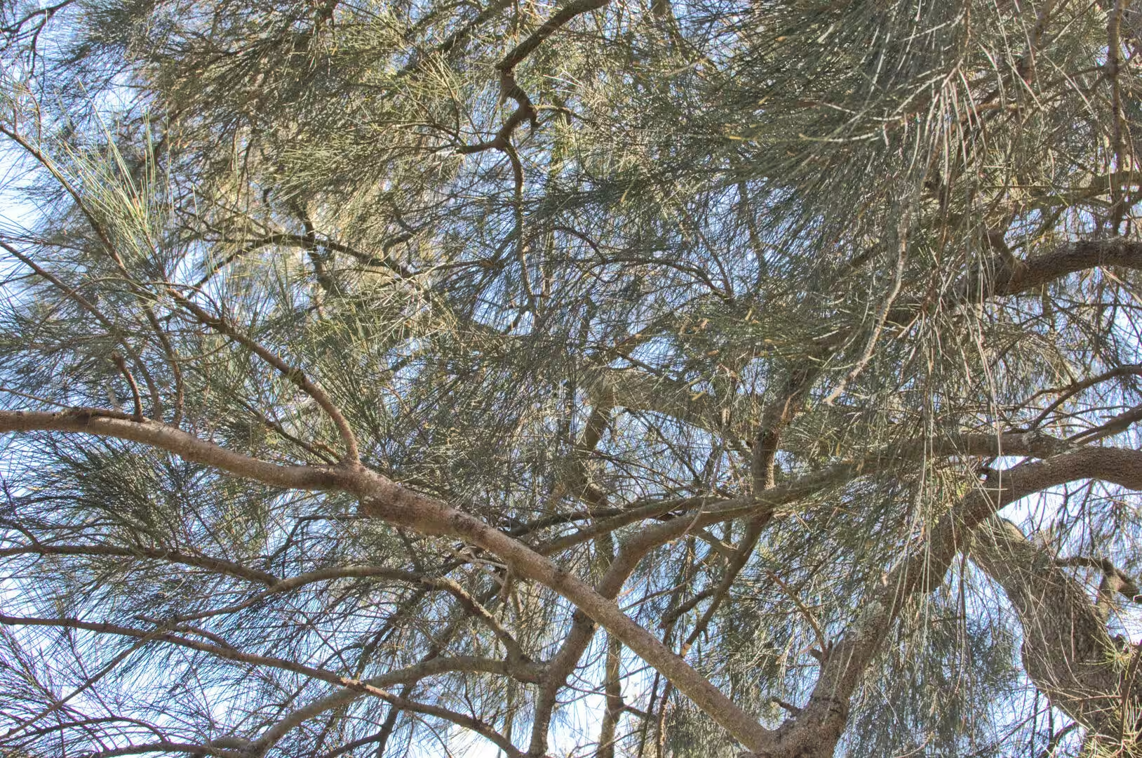
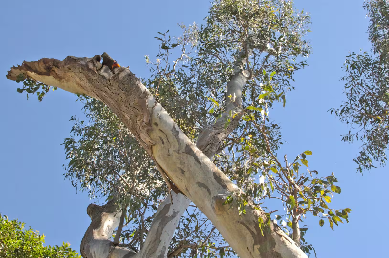
One geological detail is visible in the garden itself. The soil of the peninsula is thin, sandy and poor, and the plants that grow in it are the ones that tolerate those conditions: the figs and the palms that have been planted, and the eucalypts, banksias and wattles that were there before them. The garden exists because the soil was improved, the water was brought in and the site was protected from grazing; without those three things it would be the same coastal heath as the headlands, which is what the reserves further along the shore still are.
The harbour shoreline that the garden follows is also a record of the changes the city has made to it. The natural edge of the drowned valley was a mixture of cliffs, rocky platforms, sandy coves and mangroves; the edge that exists now is largely a constructed one, with seawalls, reclaimed ground, wharves and the landscaped banks of the parks. The garden preserves a piece of the softer version, and the seawall at the end of the point is the boundary between the two: on one side a managed shoreline, on the other the channels of a working harbour.
The tide is the clock of the harbour, and the walk along the seawall shows it. At high water the rocky platforms at the base of the point are covered and the ferries pass close to the wall; at low water the same platforms are exposed and the shoreline moves fifty metres out. The sailors, the fishermen and the people who swim at the harbour beaches organise their day around that movement, and so does the wildlife: the birds feed on the exposed flats and the fish move in with the flood.
Things to See
The garden is best walked slowly and in stages. The route from the Opera House to Mrs Macquaries Point takes an hour at an easy pace, it passes the ponds, the fernery, the palm grove and the succulent beds, and it ends at the harbour viewpoint. The middle of the day is hot and the shade is uneven, so the walk is best done in the morning or the late afternoon, and a bottle of water is more important than a map.
Mrs Macquarie’s Chair is the destination for most visitors and it deserves the fuss. The view from the sandstone bench takes in the Opera House on one side and the Harbour Bridge on the other, with the ferries and the yachts in between, and it is the one place where the two landmarks can be seen together with the water in front of them. The path down from the garden is paved and easy, and the walk back along the seawall towards the Opera House is one of the best short walks in the country.
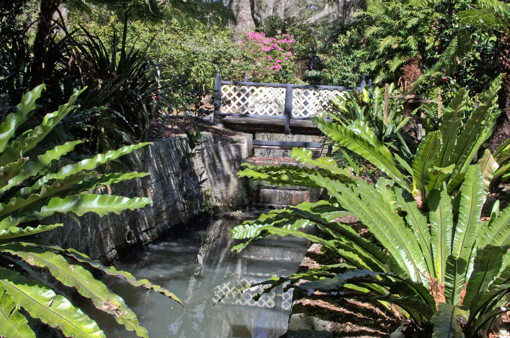
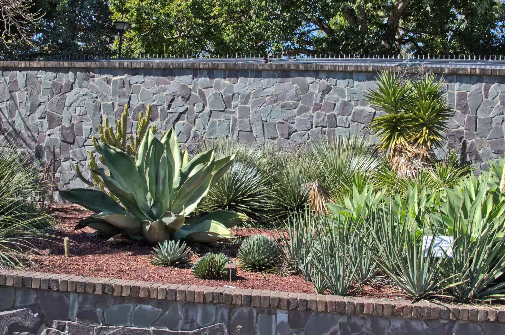
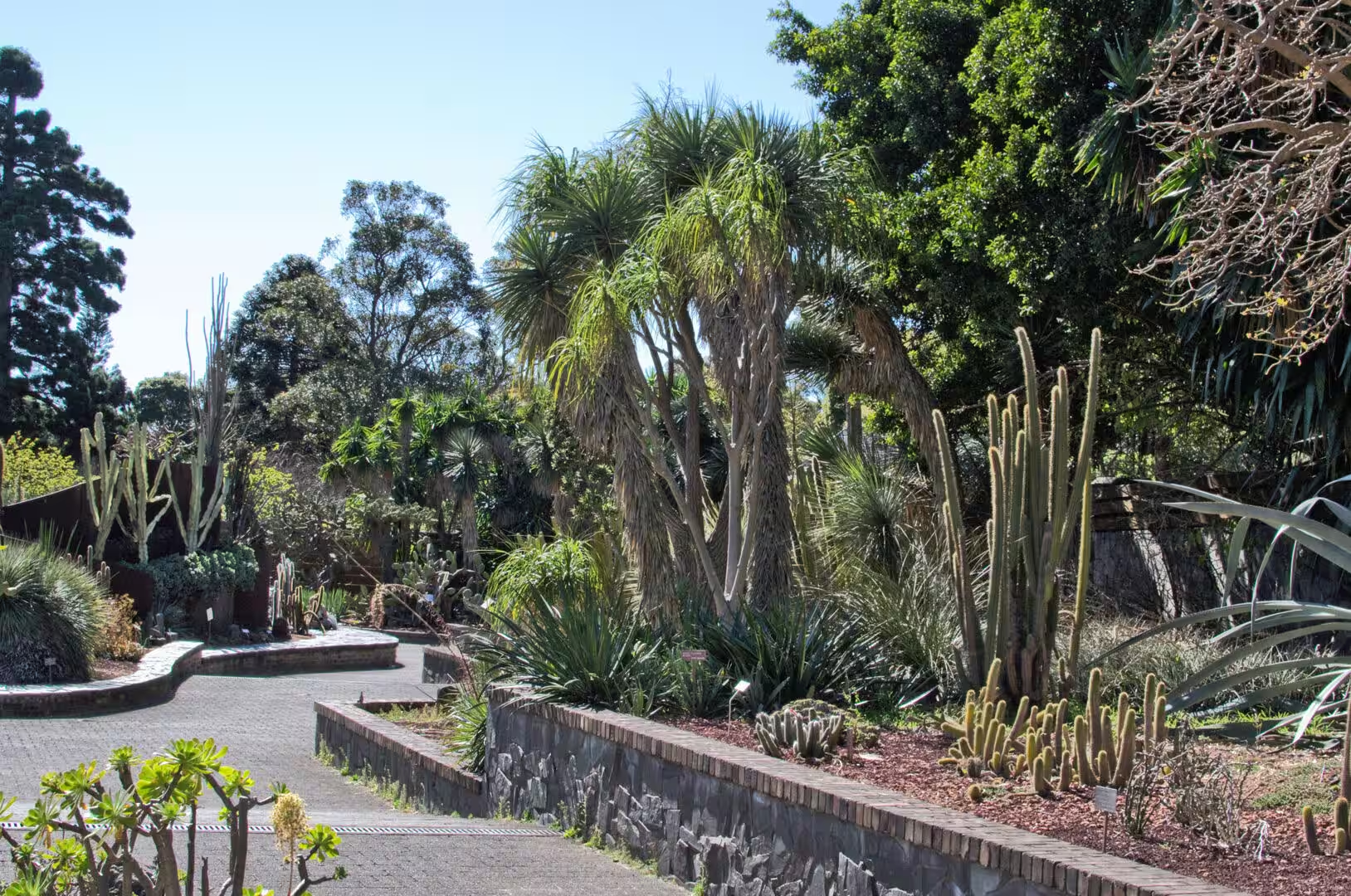
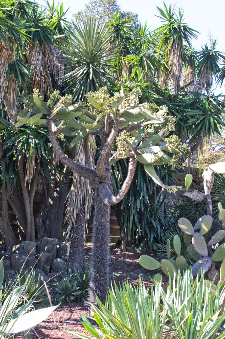
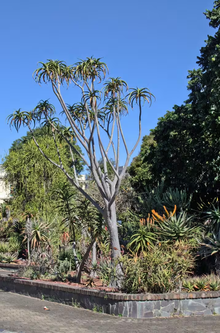
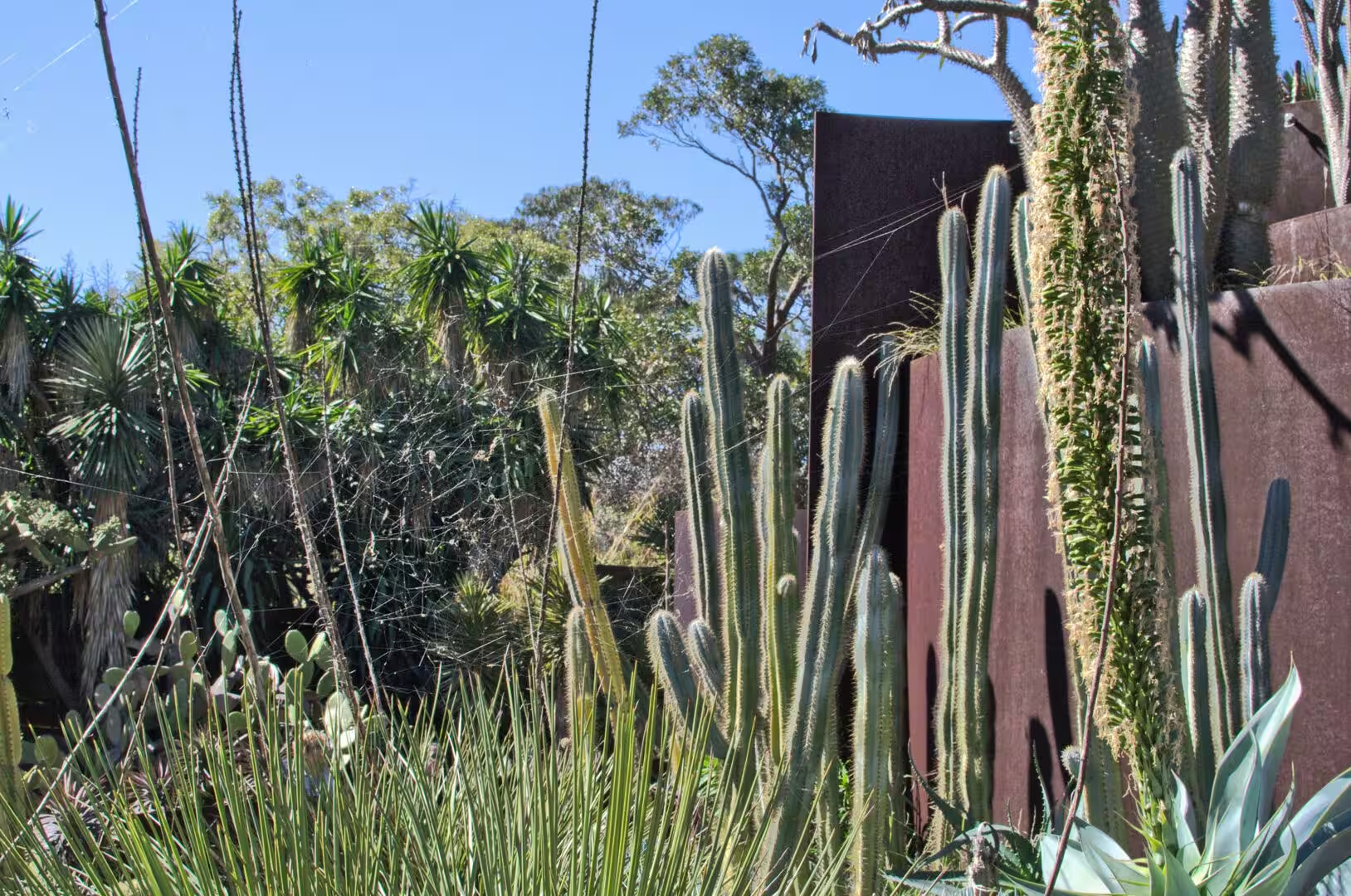
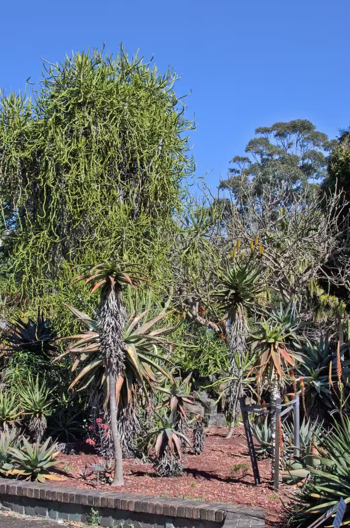
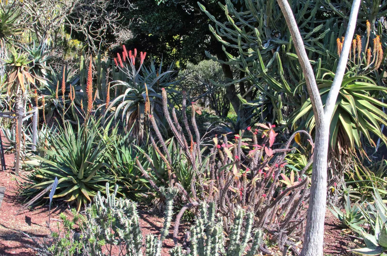
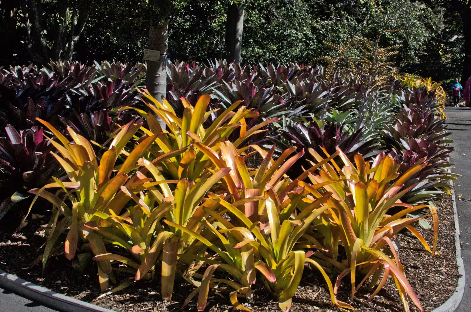
The collections of the garden repay a slower visit. The fernery holds a collection of the ferns of the region, the palm grove is arranged by continent, the succulent garden shows what plants do in dry conditions, and the glasshouses hold the tropical species that will not grow outdoors in Sydney. The labels are in the scientific and the common names, and the garden runs free guided walks for anyone who wants the stories behind the planting.
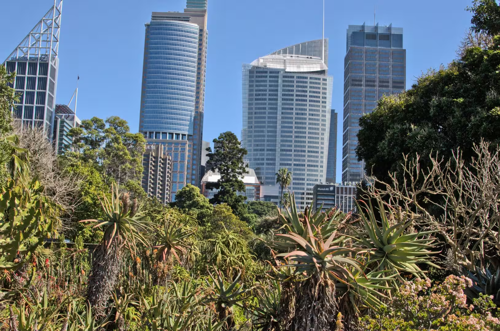
The day can be finished at Circular Quay, which is a few minutes from the entrance of the garden. The ferry wharves, the towers above them, the cruise ships at the passenger terminal and the buskers on the promenade make up the busiest square of public space in the city, and the ferries leave from it in every direction. An evening crossing to the north shore, with the lights of the city behind the boat, is the cheapest and the best of the harbour cruises, and it ends at a wharf within walking distance of a dozen places to eat.
A word on the practical side of a day in the gardens. The garden opens early and closes at sunset, entry is free, and the paths are graded from easy to steep; the walk out to the point is flat, the walks through the interior involve steps. There are cafes and toilets at both ends, the ferry and the train are within a few minutes of the Opera House, and the shade is scarce in the middle of the day. The guided walks happen at fixed times and are worth joining if the timing suits, since the guides know the collection plant by plant.
References
- Wikipedia contributors (2026). Sydney. en.wikipedia.org/wiki/Sydney
- Wikipedia contributors (2026). Blue Mountains (New South Wales). en.wikipedia.org/wiki/Blue%20Mountains%20%28New%20South%20Wales%29
- Wikipedia contributors (2026). Katoomba, New South Wales. en.wikipedia.org/wiki/Katoomba%2C%20New%20South%20Wales
- Wikipedia contributors (2026). Echo Point. en.wikipedia.org/wiki/Echo%20Point
- Wikipedia contributors (2026). Three Sisters (Australia). en.wikipedia.org/wiki/Three%20Sisters%20%28Australia%29
- Wikipedia contributors (2026). Jamison Valley. en.wikipedia.org/wiki/Jamison%20Valley
- Wikipedia contributors (2026). Blue Mountains National Park. en.wikipedia.org/wiki/Blue%20Mountains%20National%20Park
- Wikipedia contributors (2026). Royal National Park. en.wikipedia.org/wiki/Royal%20National%20Park
- Wikipedia contributors (2026). Hawkesbury sandstone. en.wikipedia.org/wiki/Hawkesbury%20sandstone
- Wikipedia contributors (2026). Sydney Basin. en.wikipedia.org/wiki/Sydney%20Basin
- Wikipedia contributors (2026). Bondi Beach. en.wikipedia.org/wiki/Bondi%20Beach
- Wikipedia contributors (2026). Manly, New South Wales. en.wikipedia.org/wiki/Manly%2C%20New%20South%20Wales
- Wikipedia contributors (2026). Tasman Sea. en.wikipedia.org/wiki/Tasman%20Sea
- Wikipedia contributors (2026). Jacaranda. en.wikipedia.org/wiki/Jacaranda
- Pells P. (2018) Engineering properties of the Hawkesbury Sandstone. Engineering Geology of the Sydney Region. 179-197. doi.org/10.1201/9780203757390-10
- Ward P. (2018) Excavation of Hawkesbury Sandstone in the Sydney Region. Engineering Geology of the Sydney Region. 199-202. doi.org/10.1201/9780203757390-11