Day 17 - Newman











Journal Notes
General
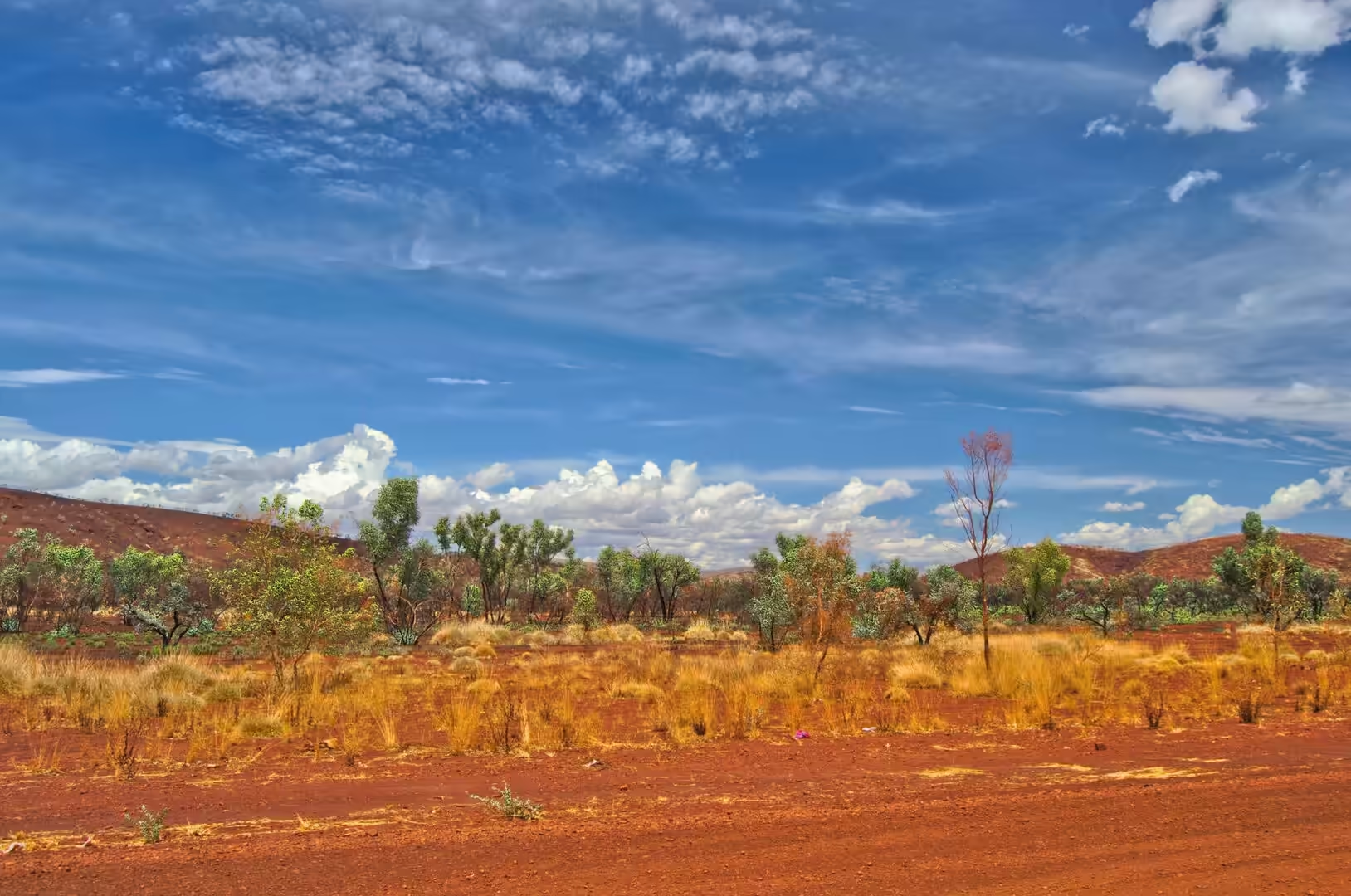
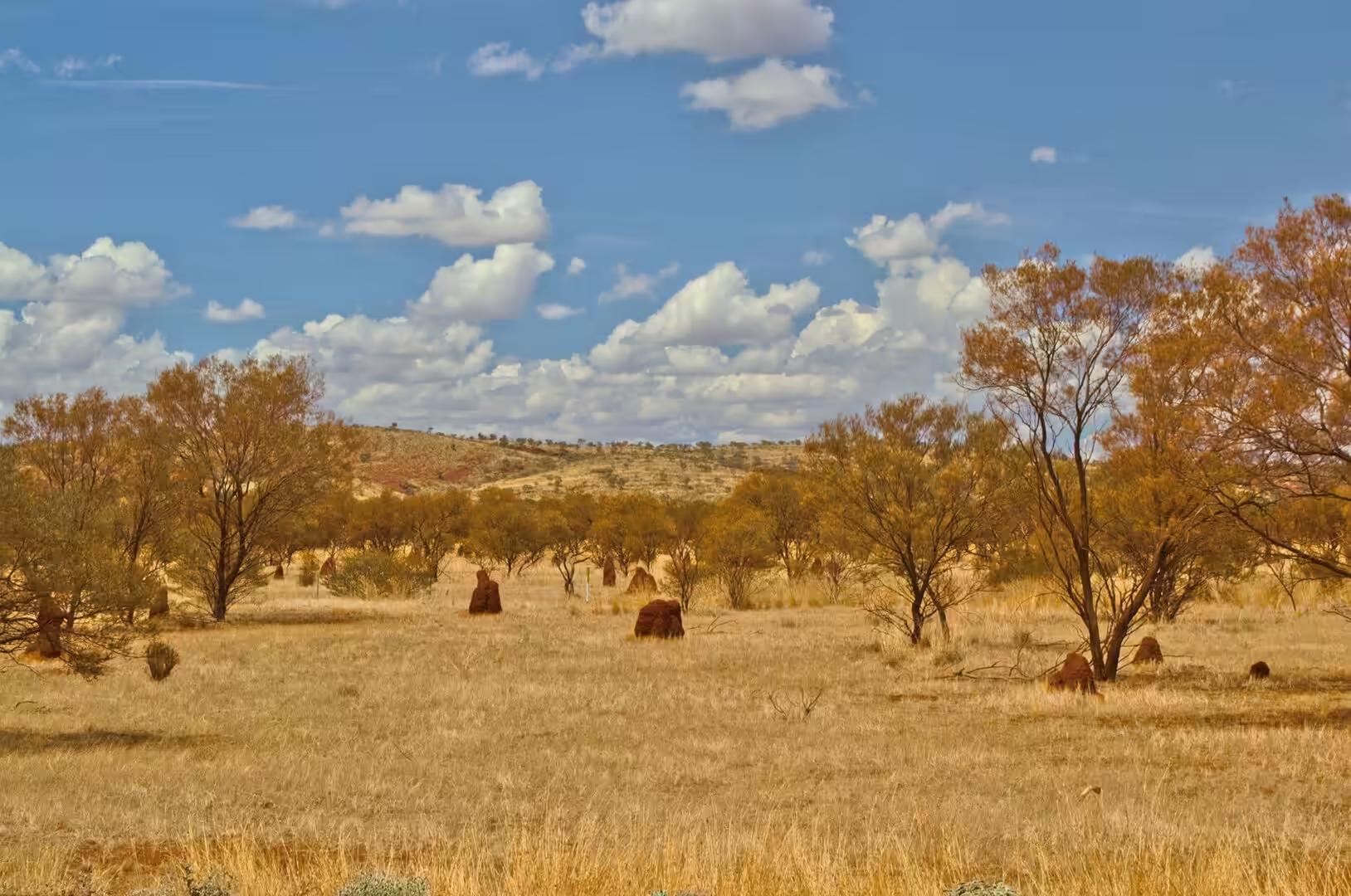
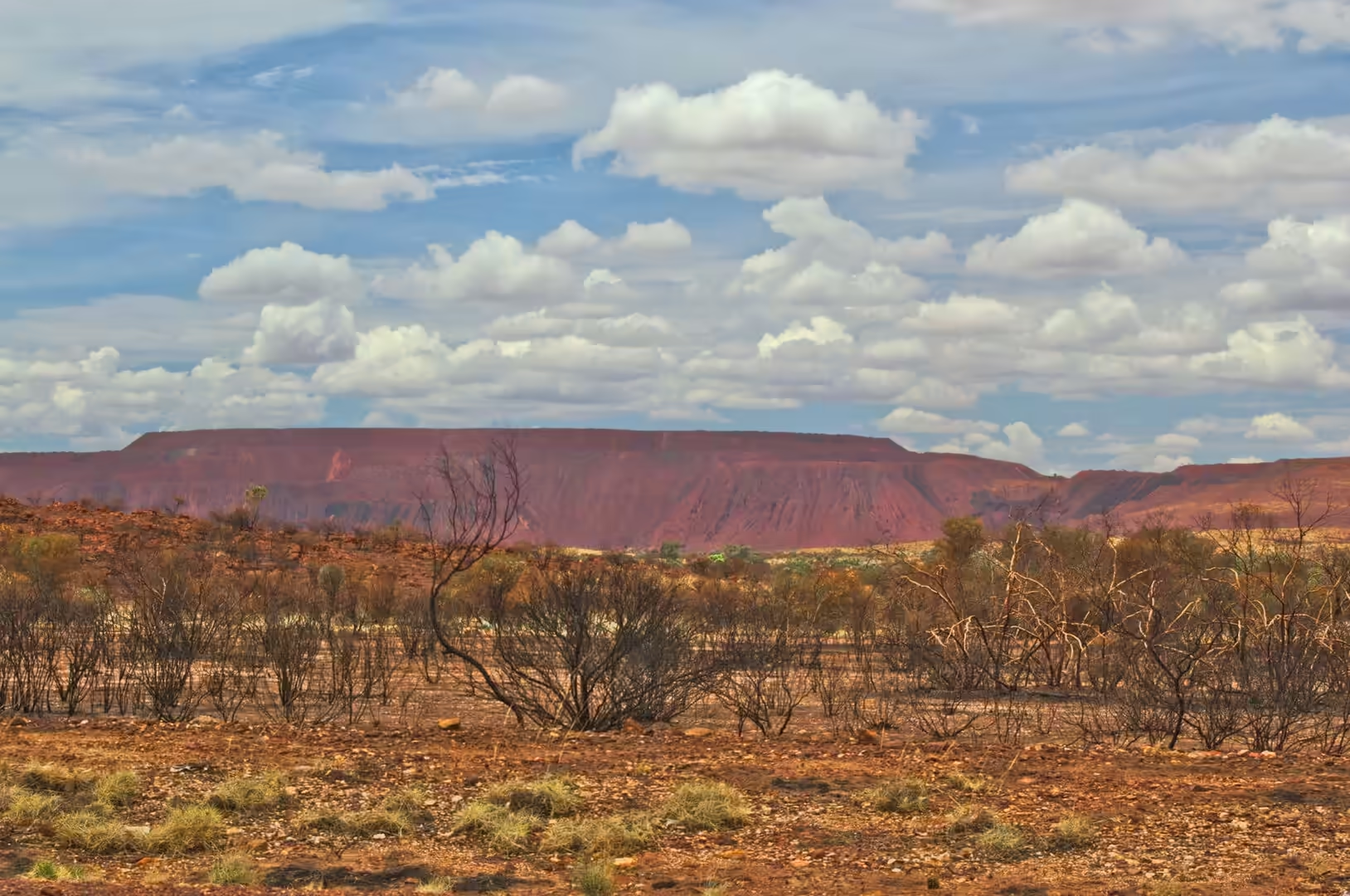
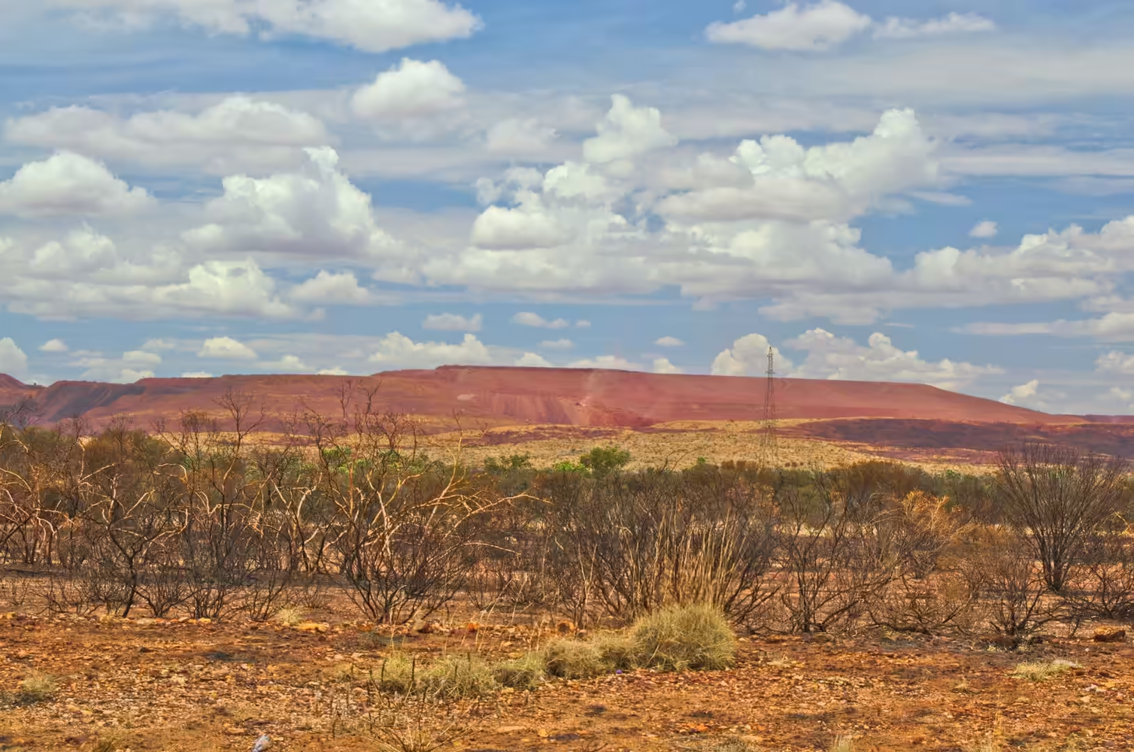
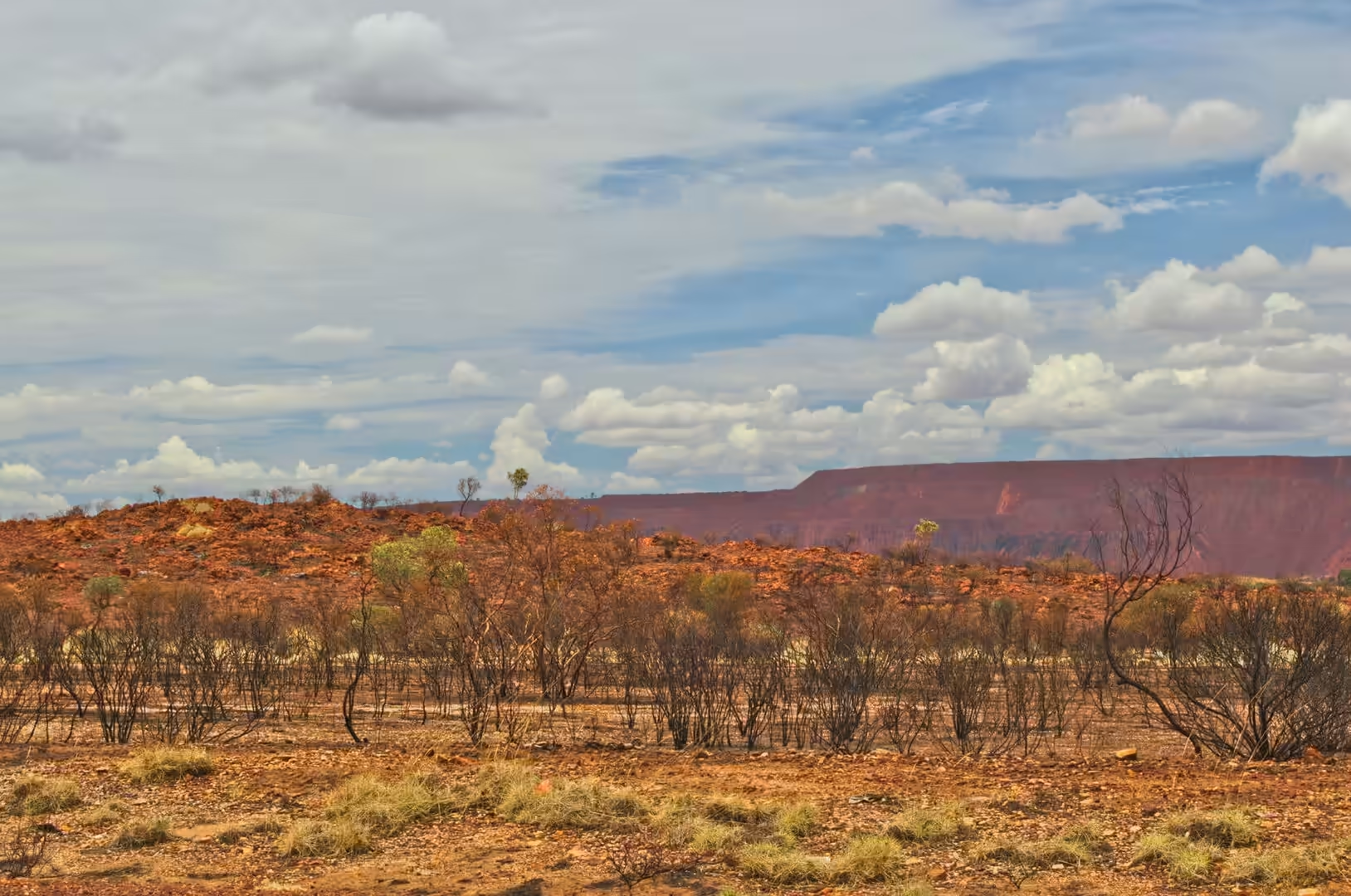
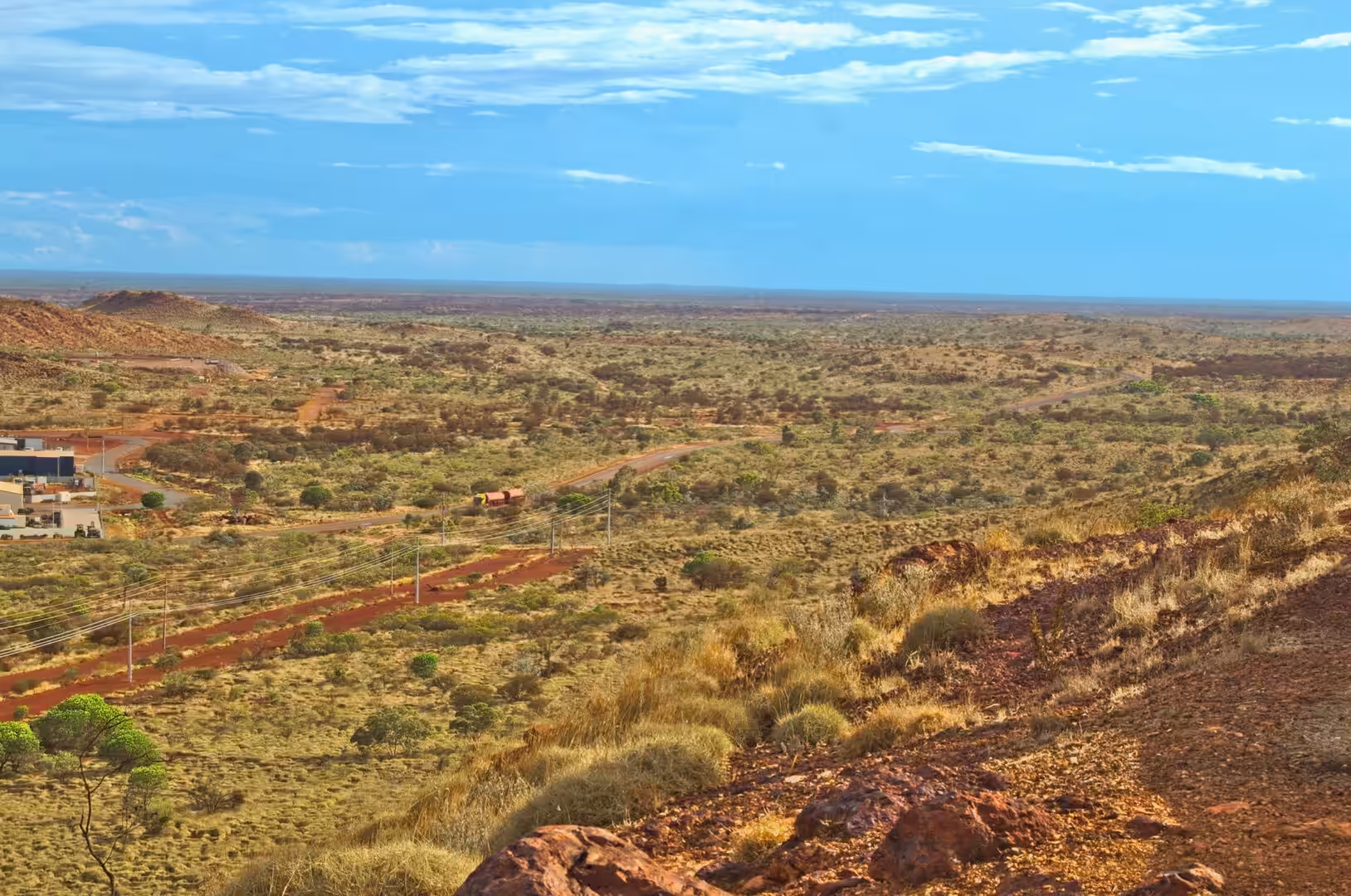
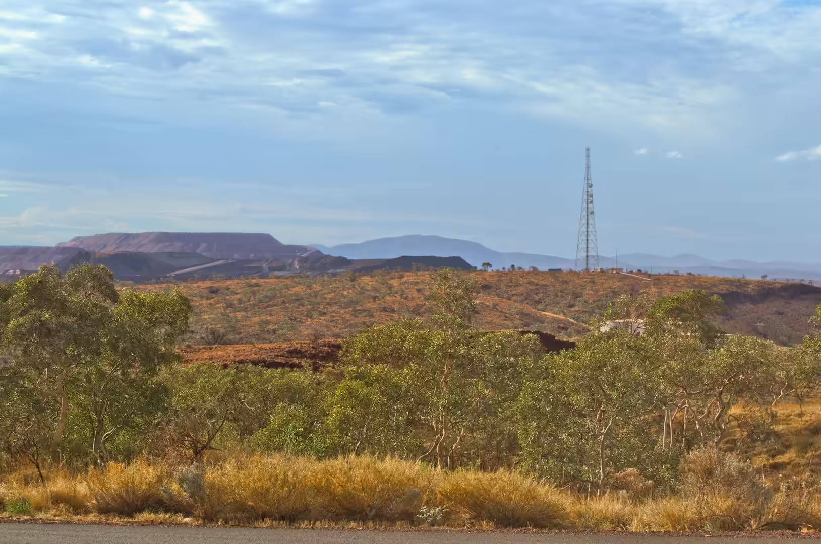
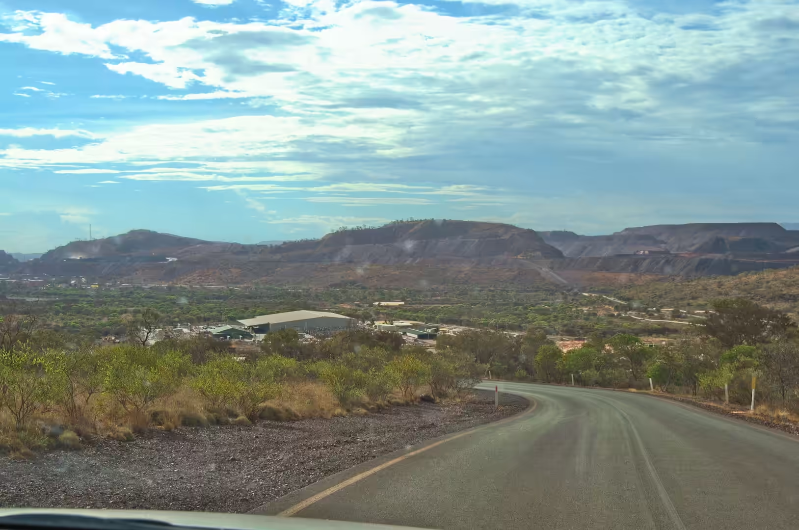
The seventeenth day was a driving day between two mining towns, and it began with the sign that everyone stops for: a green board on a red gravel verge pointing to Tom Price and Paraburdoo. The road east from the gorges climbs onto the plateau, passes through country of golden spinifex and scattered eucalypts, and runs straight for long stretches with the flat topped ranges standing along the horizon on both sides.
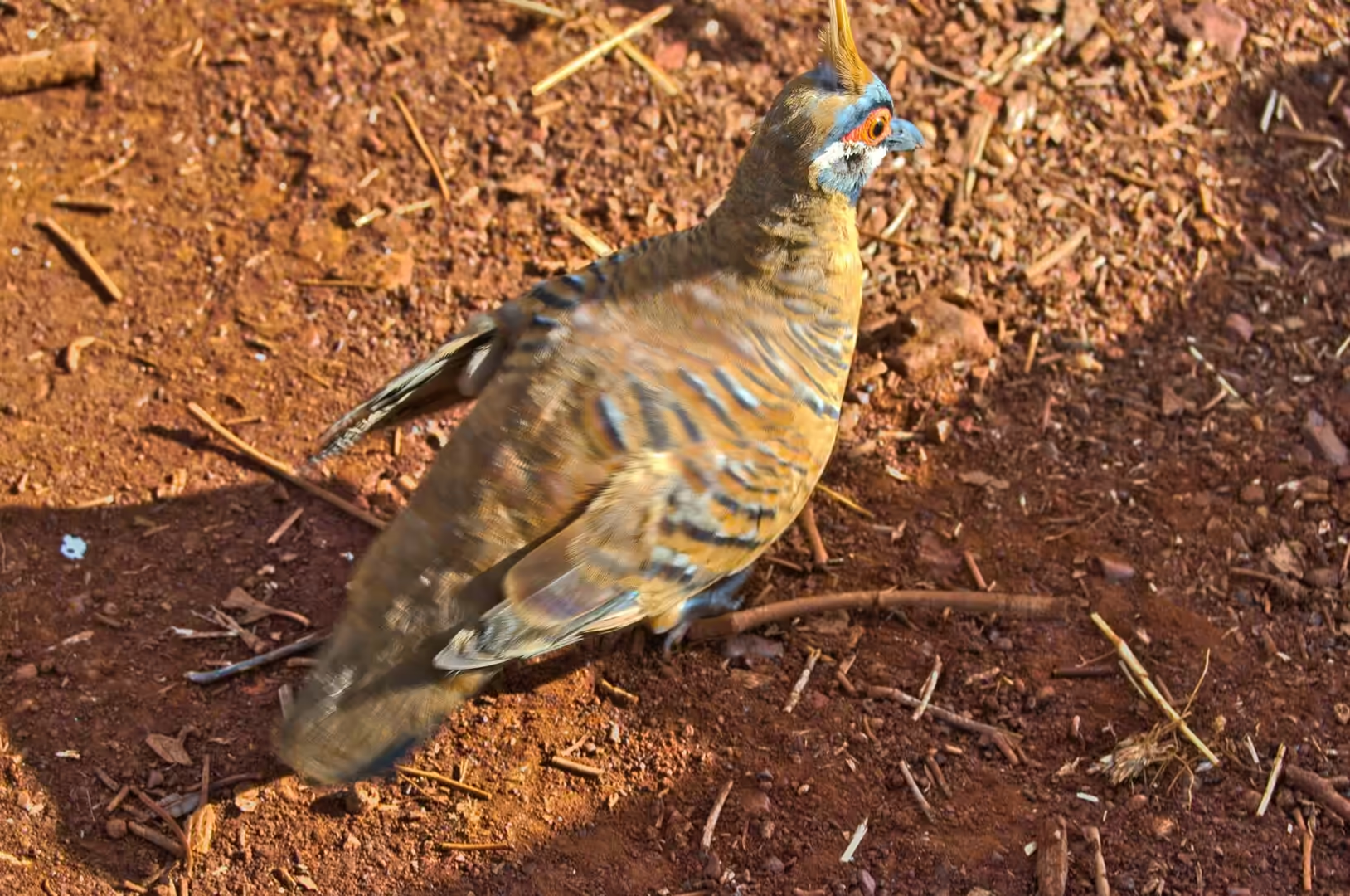
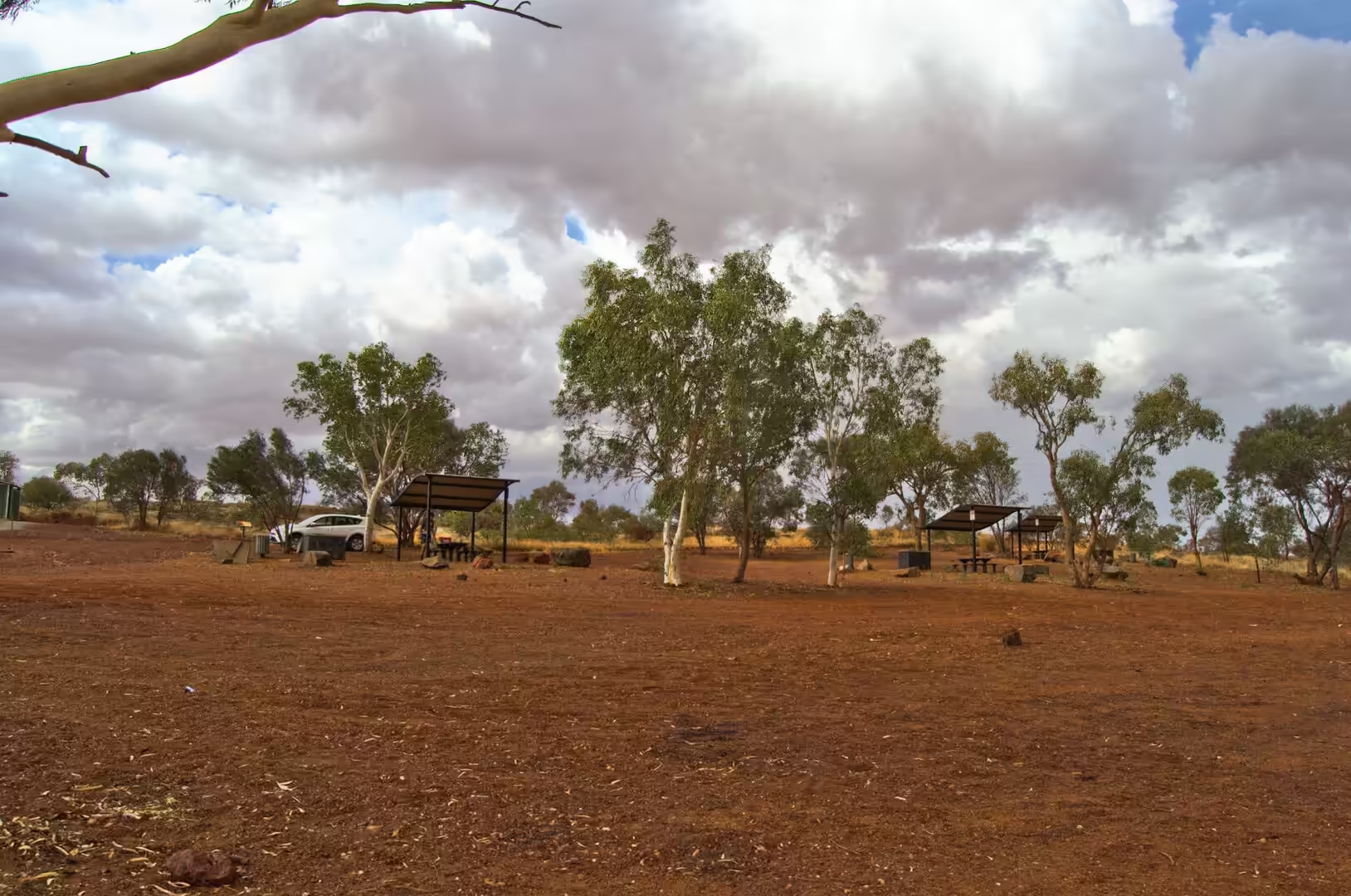
The rest areas on this road are the shape of the country: a metal shelter on red gravel, a picnic table, a bin and nothing else for a hundred kilometres in any direction. One of them came with a visitor, a plump brown bird with a yellow crest and blue barred wings, which landed on the gravel beside the table and stayed long enough to be identified properly. Birds of that kind are the reward of stopping somewhere that has no attraction at all.
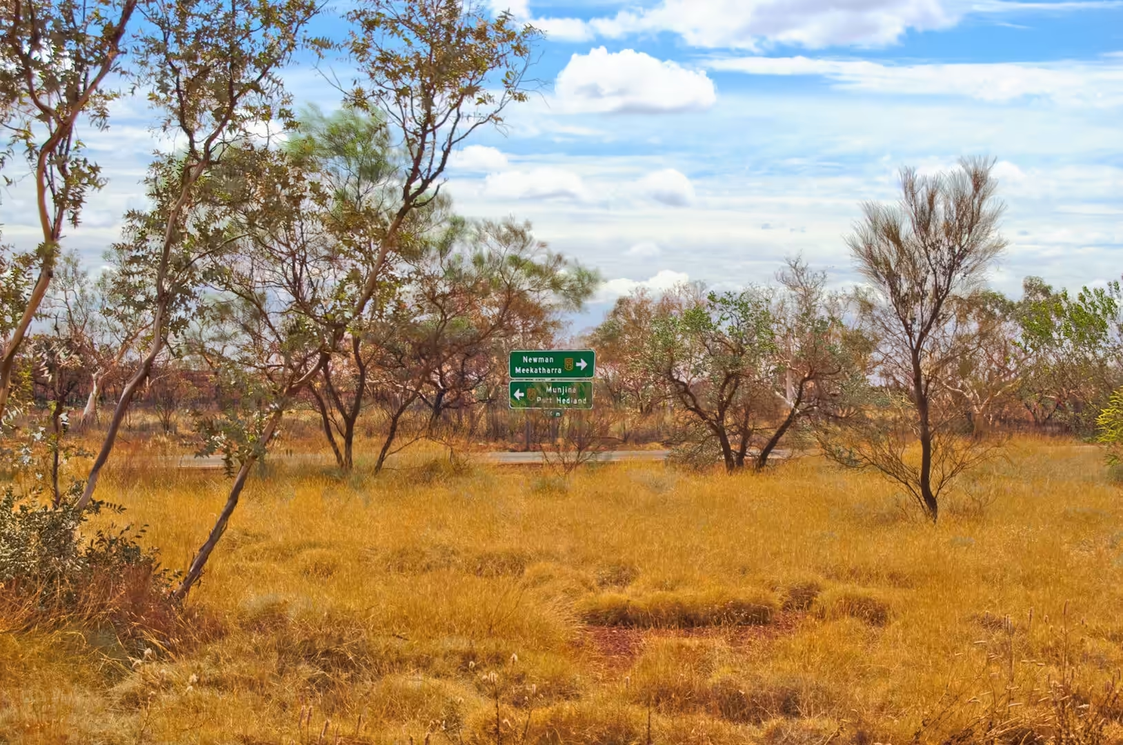
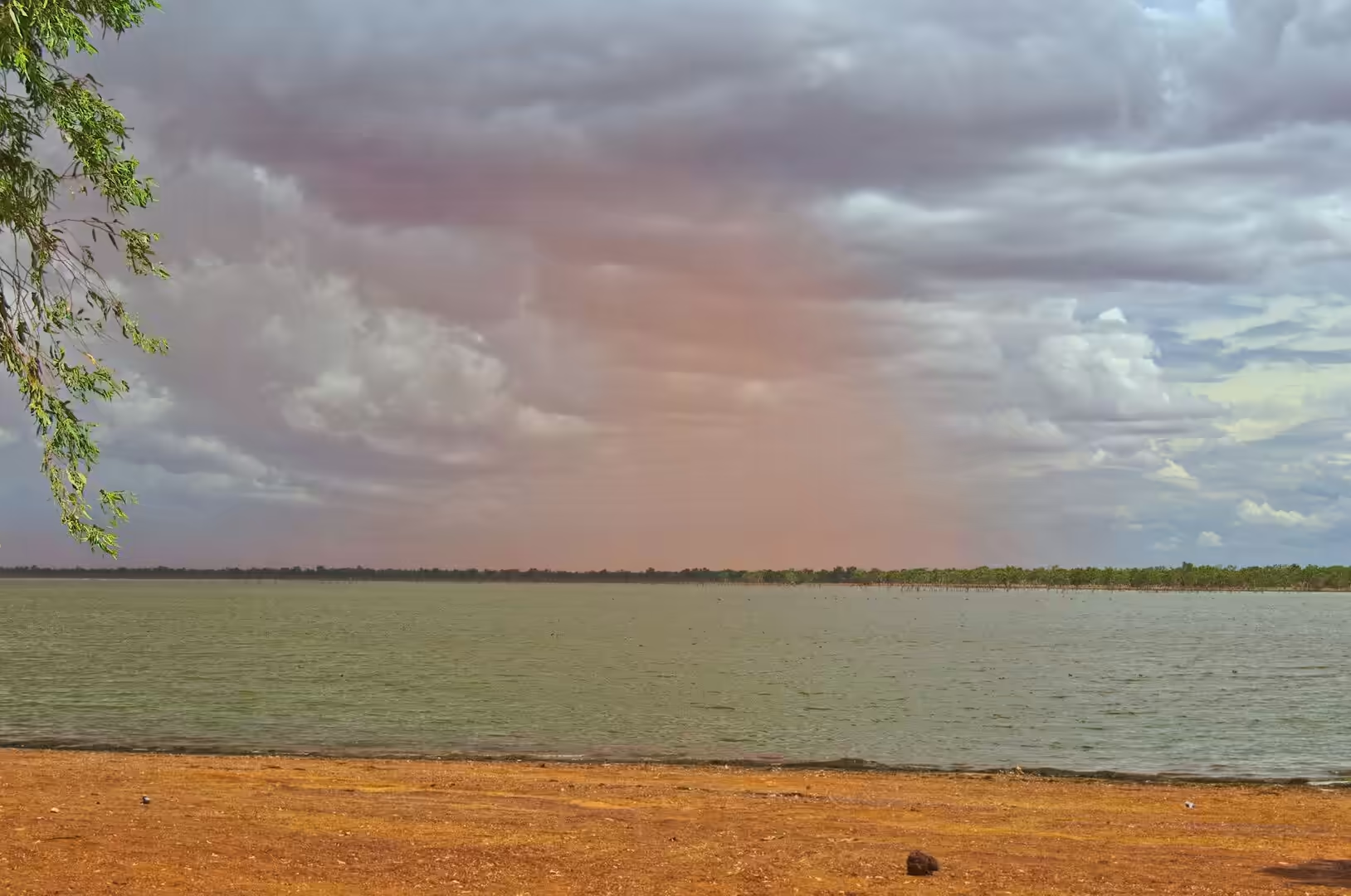
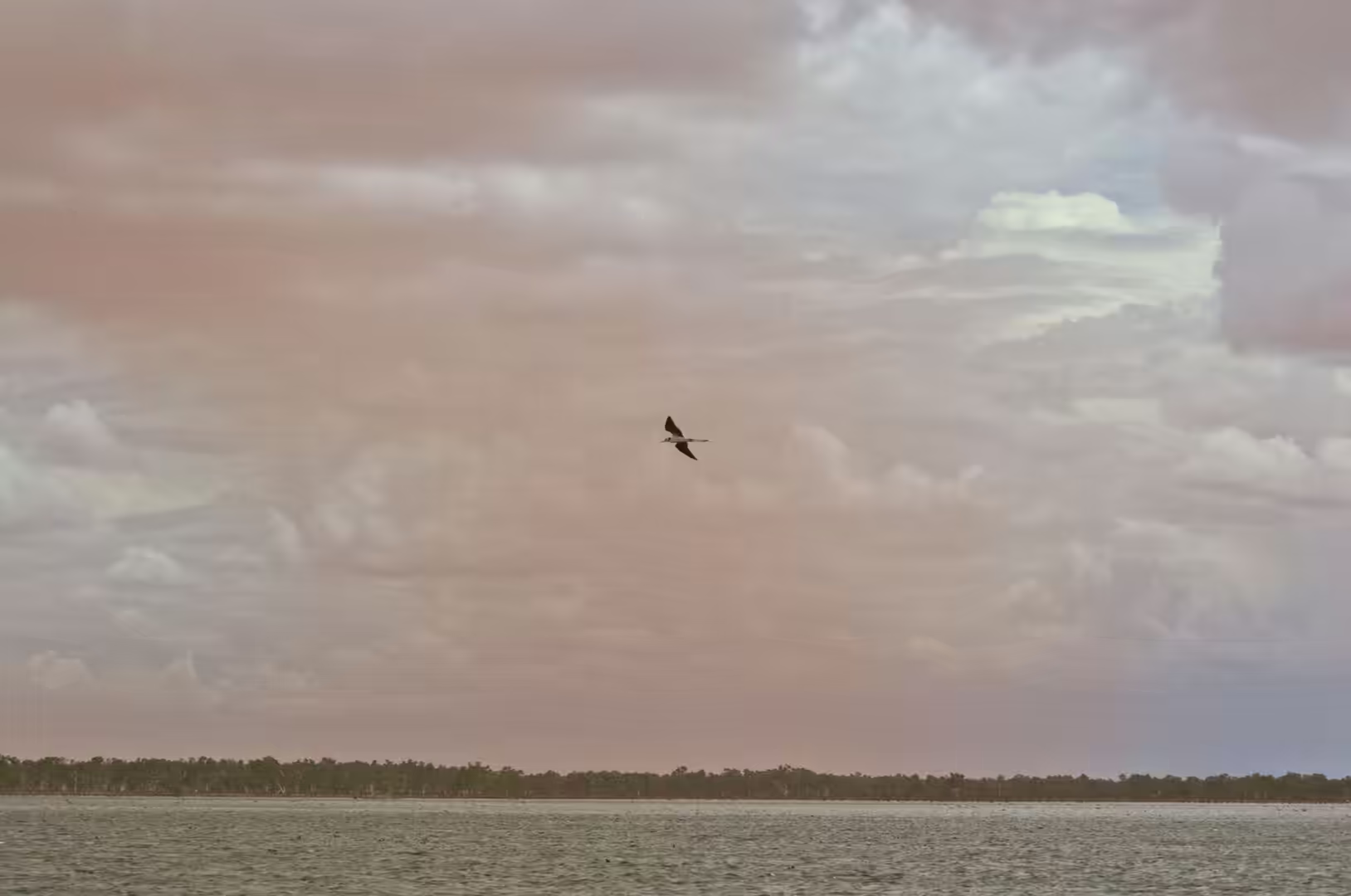
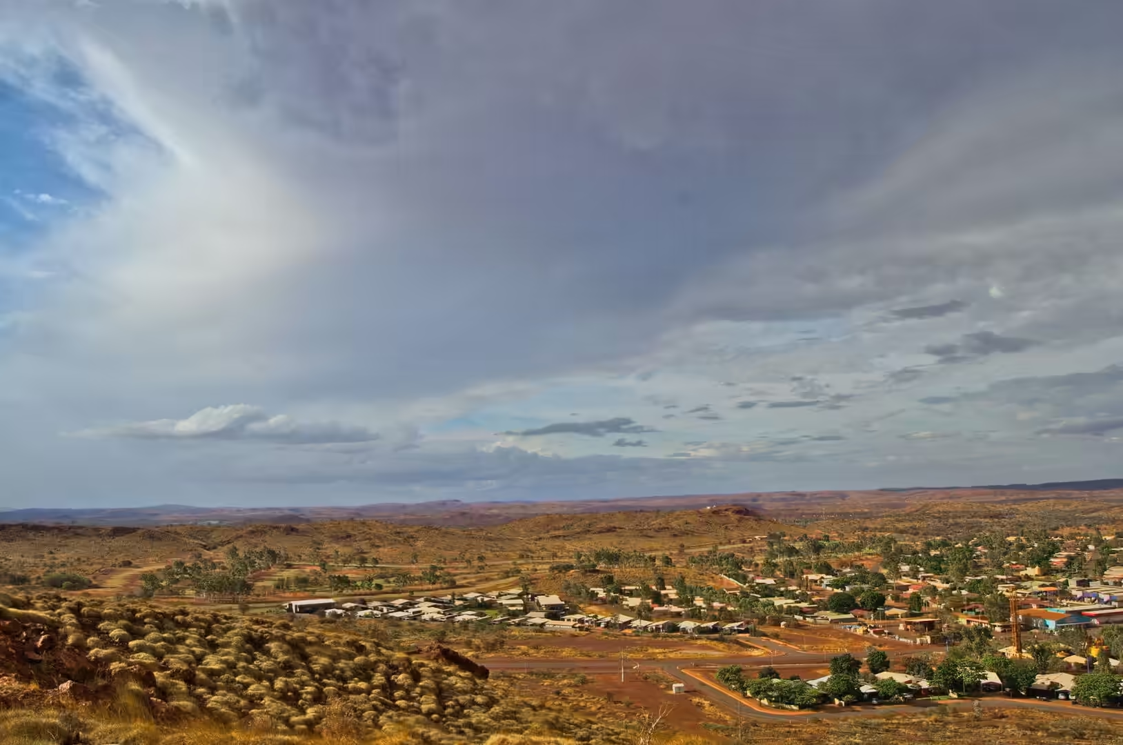
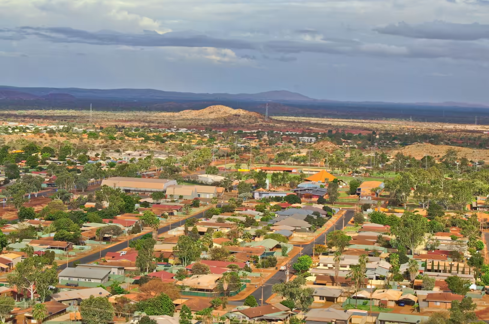
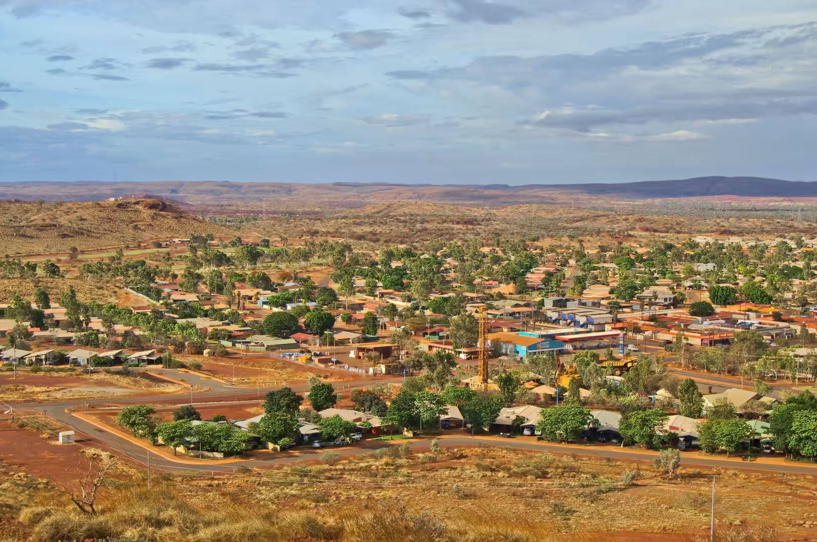
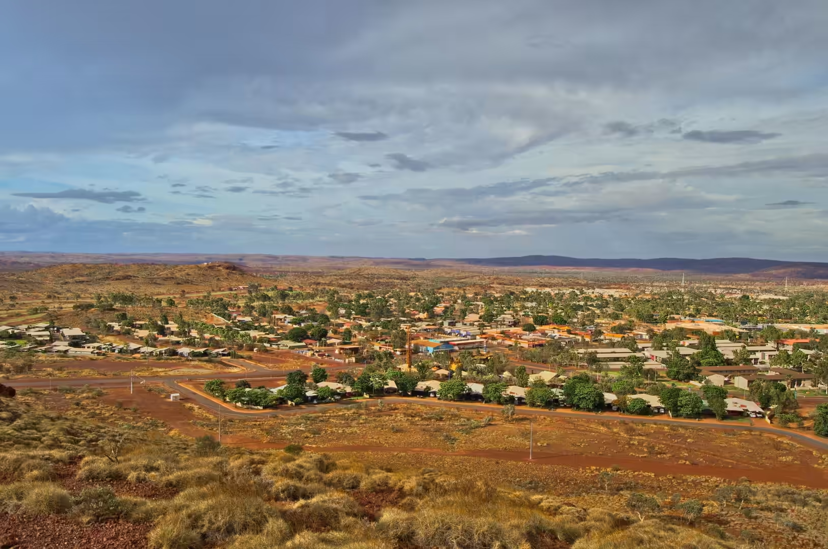
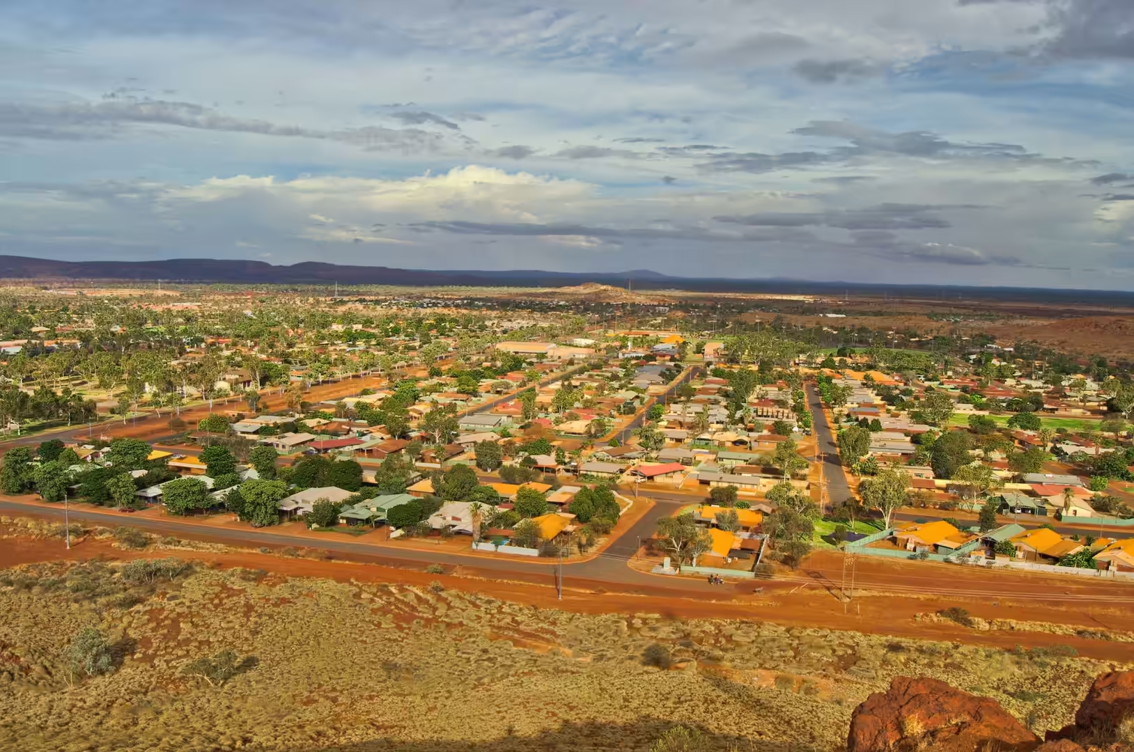
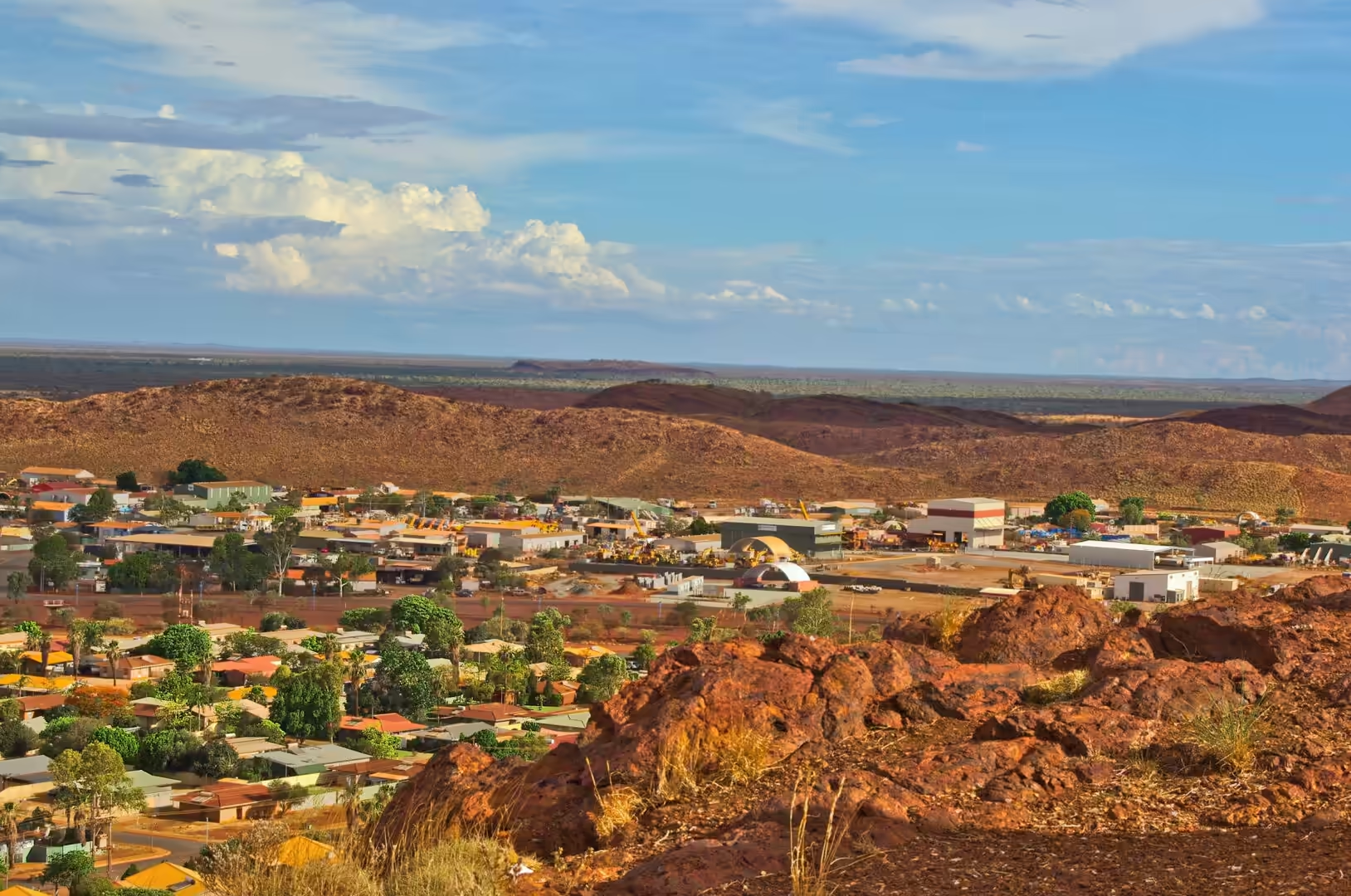
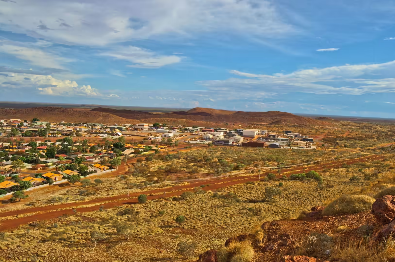
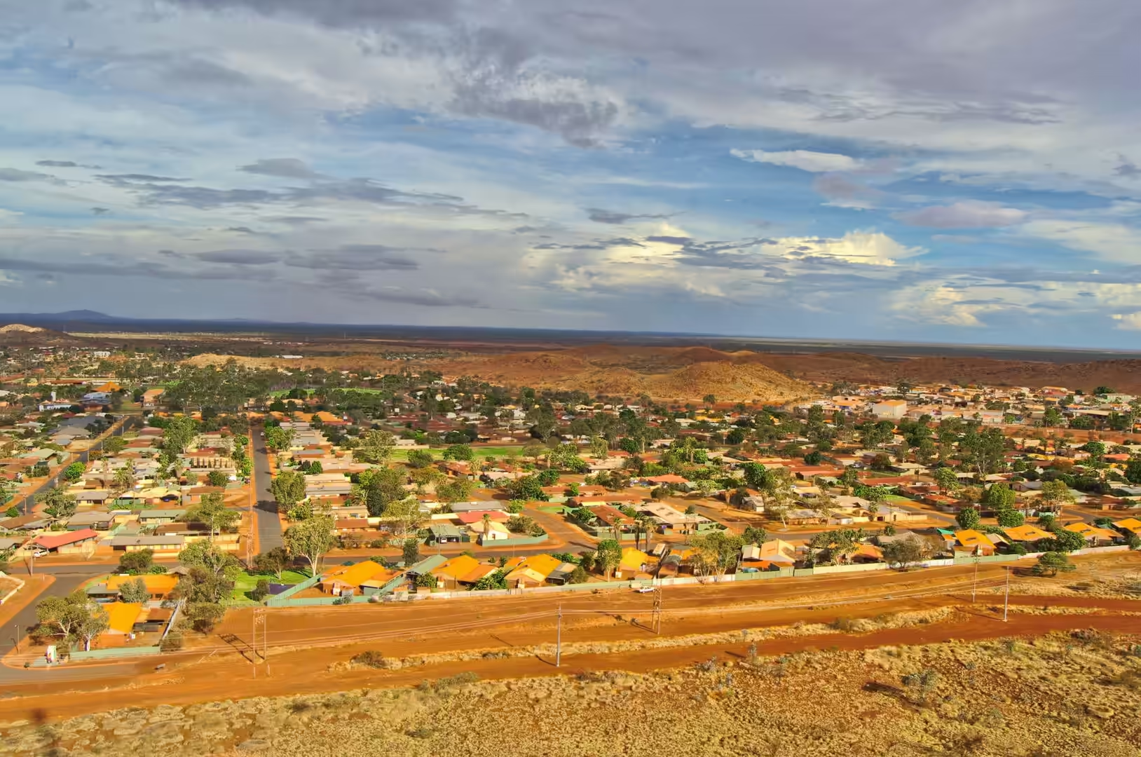
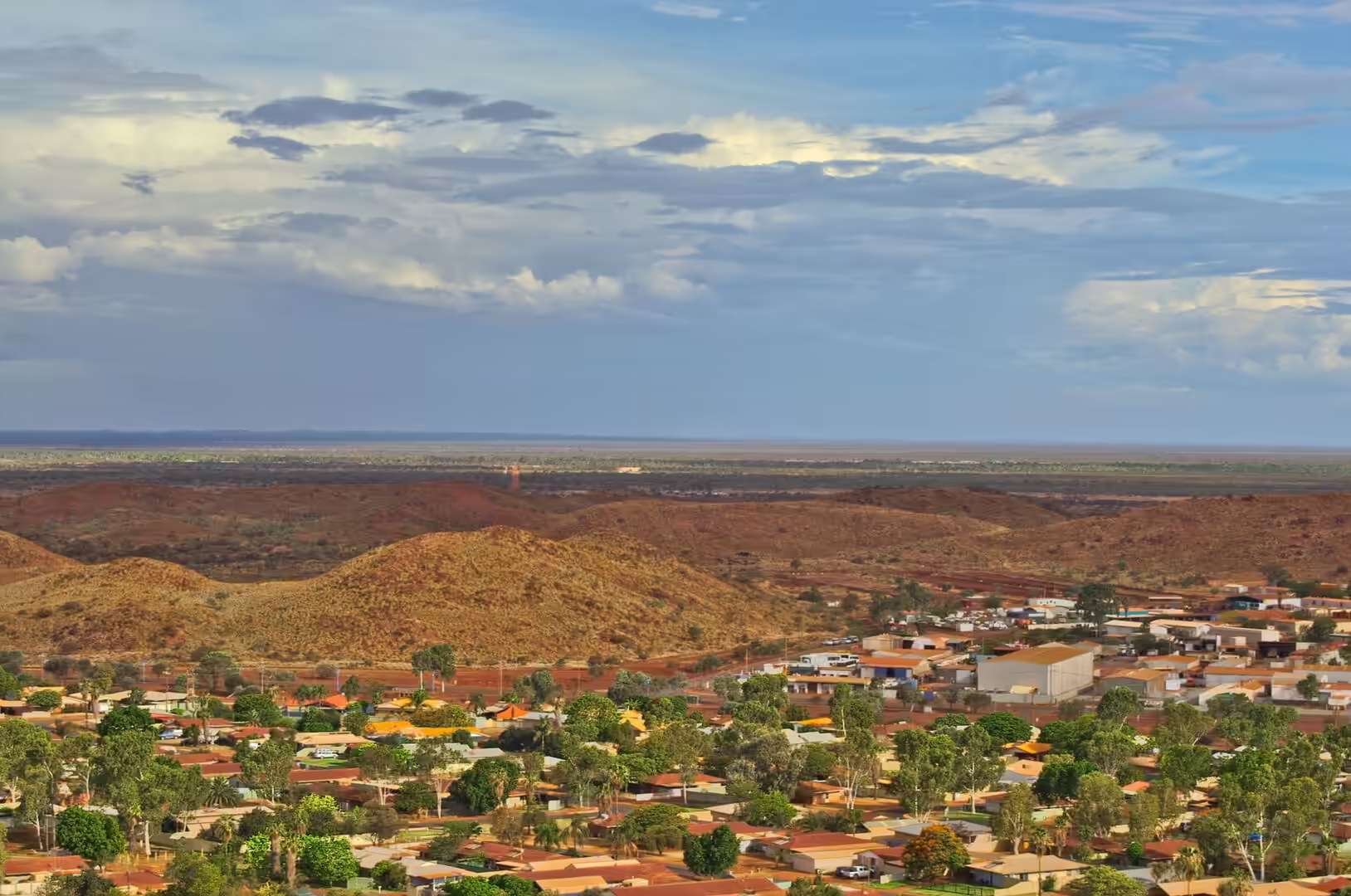
The middle of the day brought the crossroads, where a signpost lists the distances to Newman, Meekatharra, Karratha and Port Hedland, and the afternoon brought the dam east of Newman. It holds a wide sheet of green water in the middle of the red country, with a line of warning panels on its bank, and in the late light with cumulus clouds above it, the lake and the sky together looked more like the tropics than the desert. A single bird crossed the pink sky above the water, and the day ended with the small town spread across the plain below a dramatic sky.
The distances on this road are the thing to plan around, and the planning is simple. Between Karijini and Newman there is one town with services, Tom Price, and one or two roadhouses that keep unpredictable hours. The tank is filled whenever there is a pump, the water containers are topped up whenever there is a tap, and the driving is done in daylight because the cattle, the kangaroos and the road trains all use the road after dark. A visitor who respects those three rules will enjoy the country; one who does not will find out why the locals talk about the highway the way they do.
The light in the late afternoon is the best reason to be on this road rather than another one. The sun goes down over the plain with no hills to hurry it along, the dust in the air turns it orange and then red, and the mesas stand out as silhouettes along the horizon. The camp is set up in that light and the evening meal is eaten by it, and the travellers who plan their driving to arrive in the last hour of the day have understood something about the country that the timetable does not explain.
History
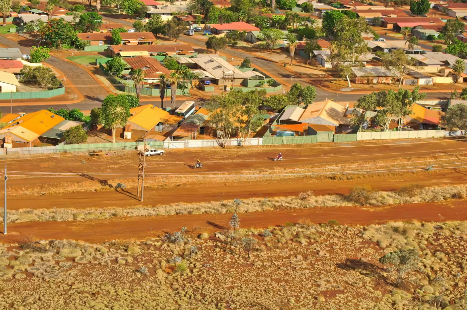
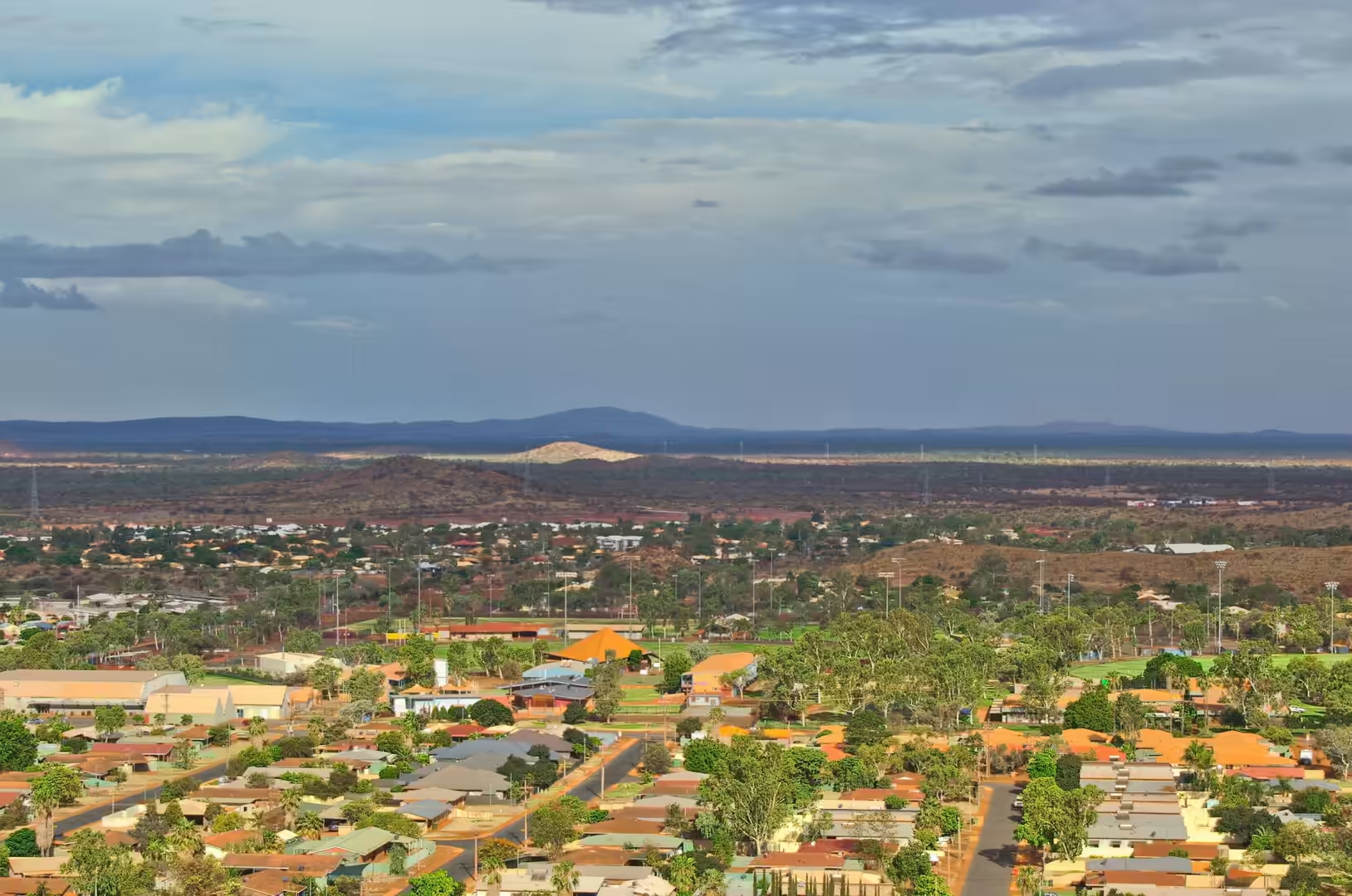
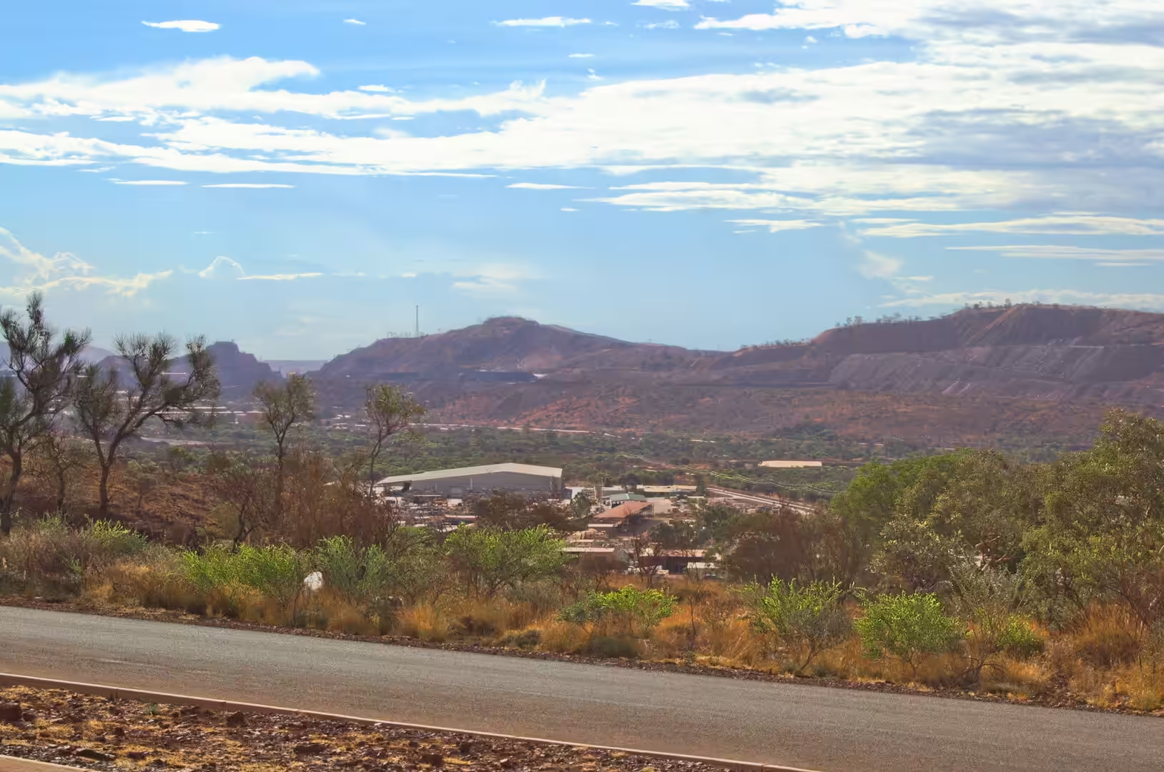
Newman is a company town that became a real one. It was established as Mount Newman by the mining company that opened the iron ore deposit at Mount Whaleback, was renamed in 1981, and has grown into a community of more than six thousand people at the 2021 census with the institutions of a proper town: schools, a hospital, a shopping centre, a swimming pool and an airport. The houses are modern and the gardens are watered, and the contrast between the town and the red desert around it is the first thing that visitors notice.
The reason for the town is six kilometres to the west. The deposit at Mount Whaleback was identified in the 1950s, the export of iron ore from Australia was permitted from the end of 1960, and the mine and the railway to the coast were built within a few years. The company built the town, the mine and the rail link as a single project, and the model was repeated at Tom Price, Paraburdoo and the other mines of the Hamersley Basin: a company town on the plateau, a private railway several hundred kilometres long, and a port on the coast at Port Hedland or Dampier.
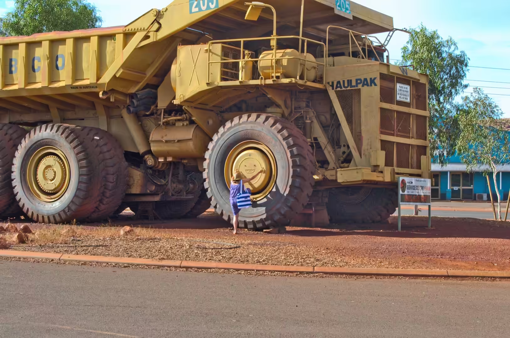
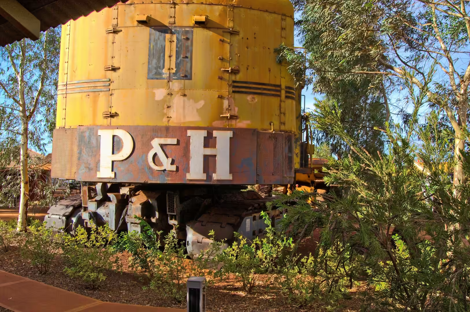
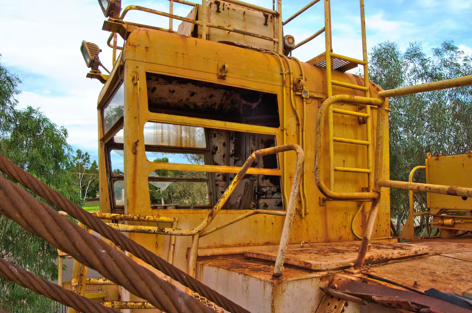
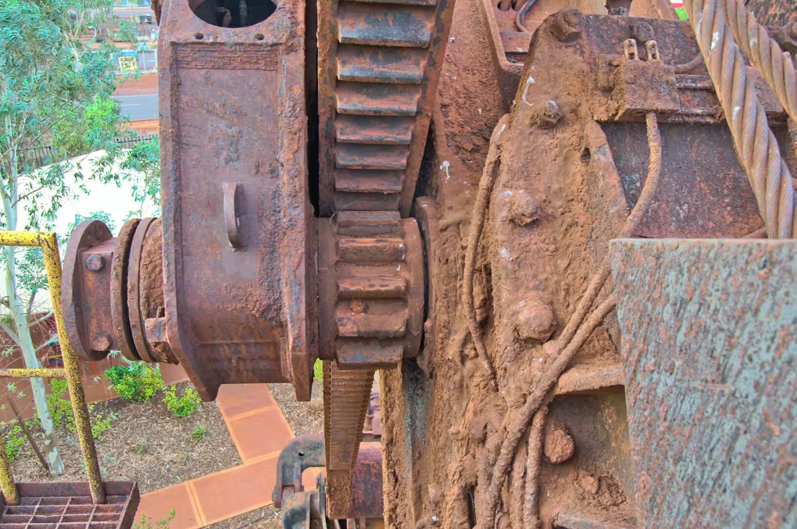
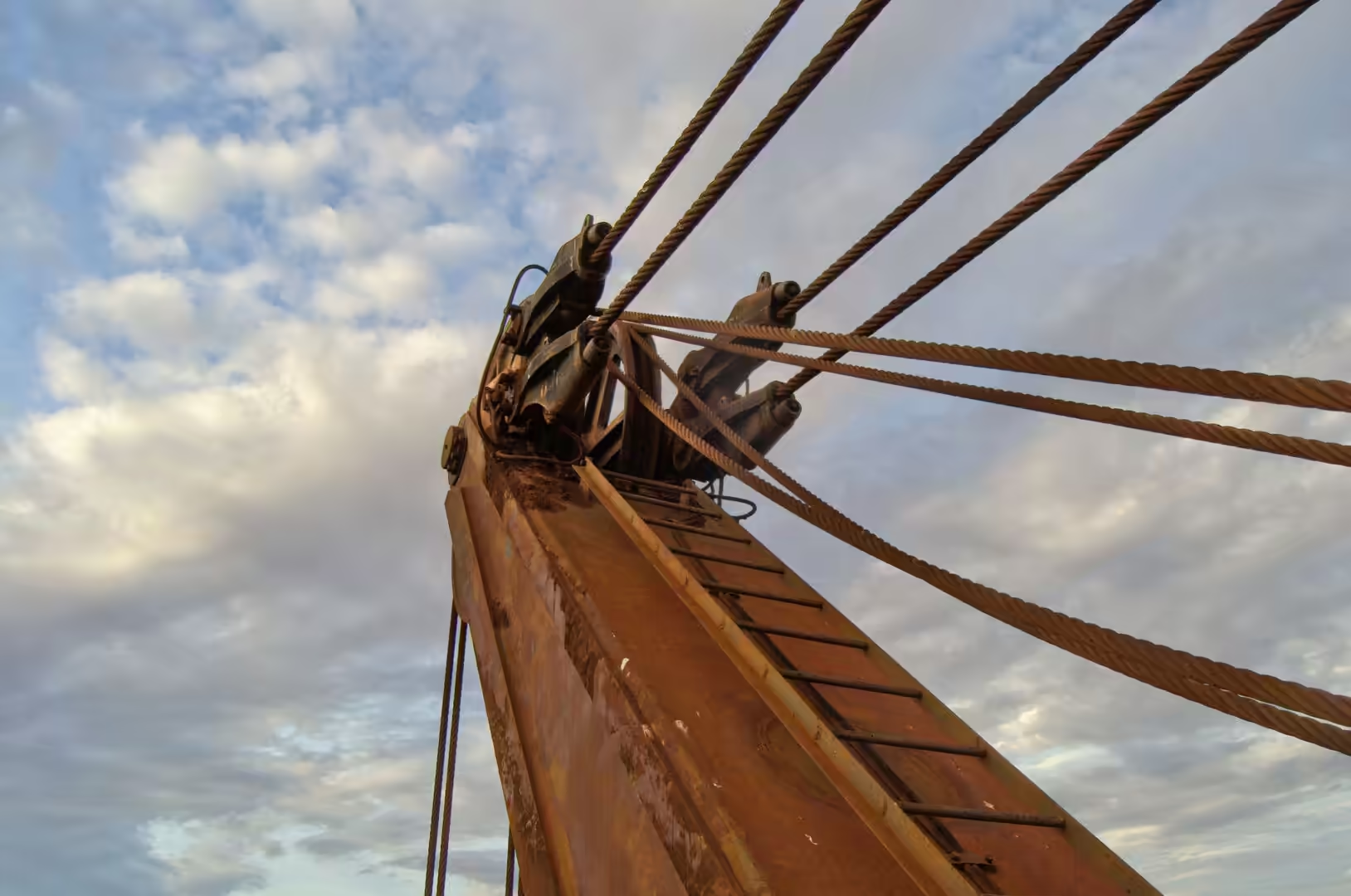
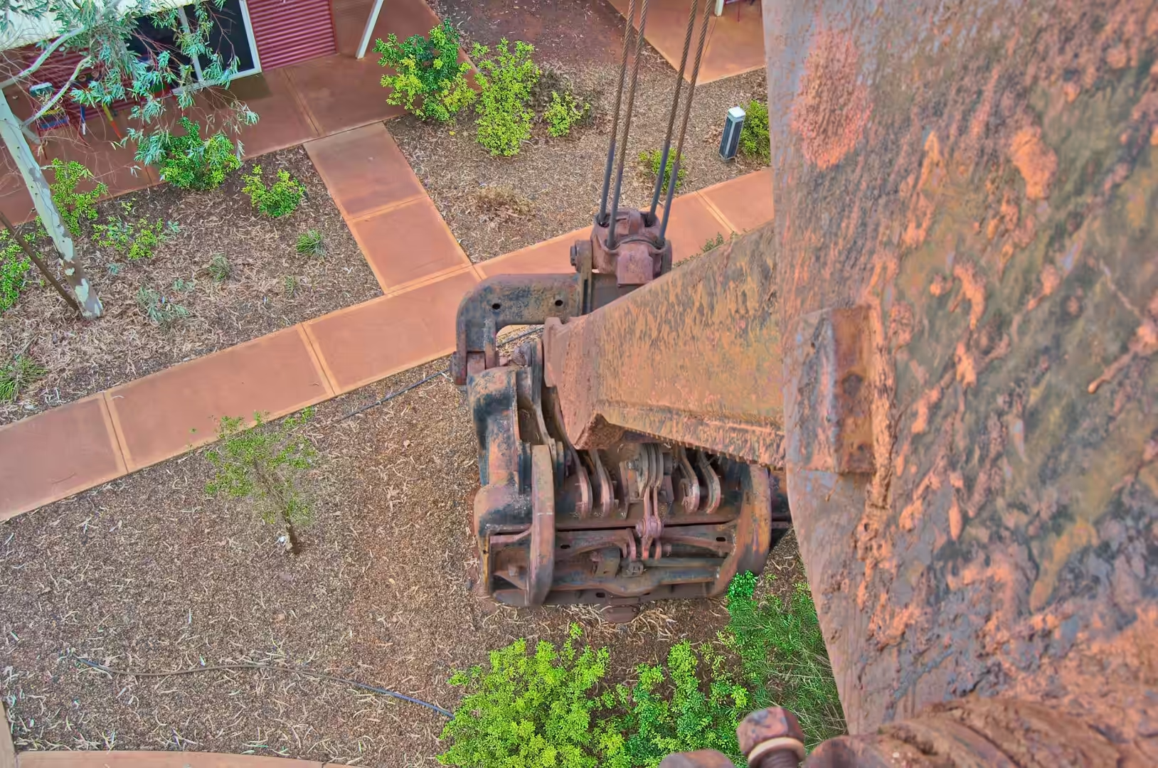
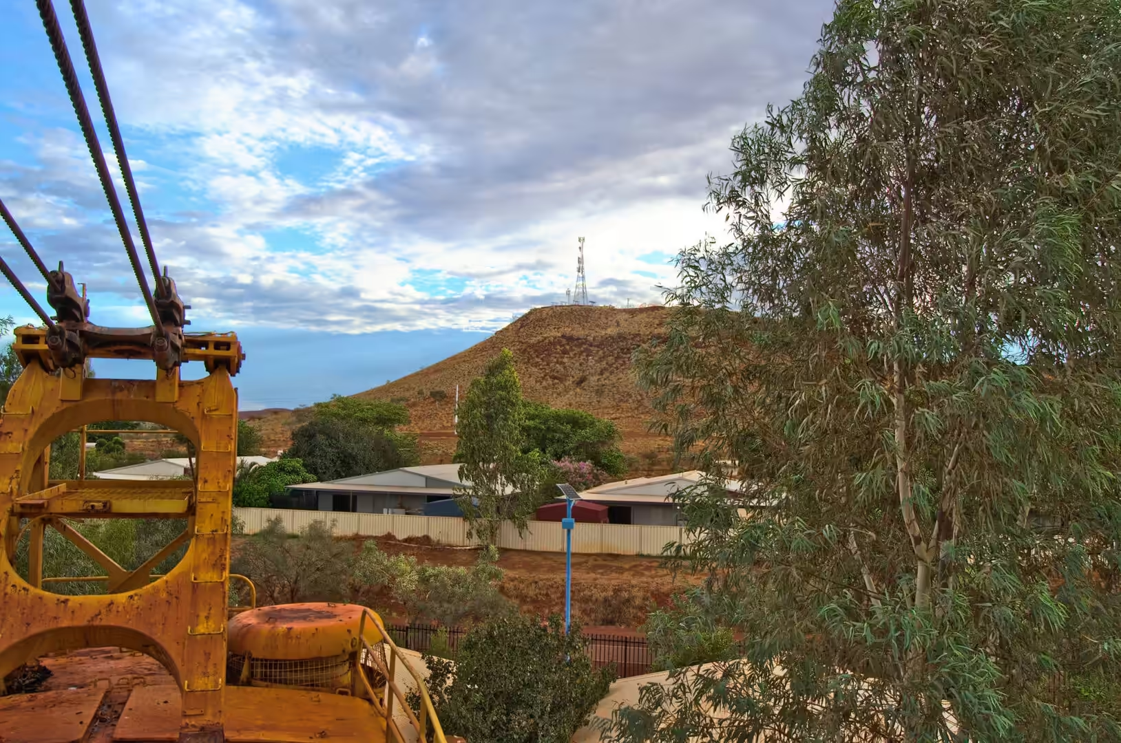
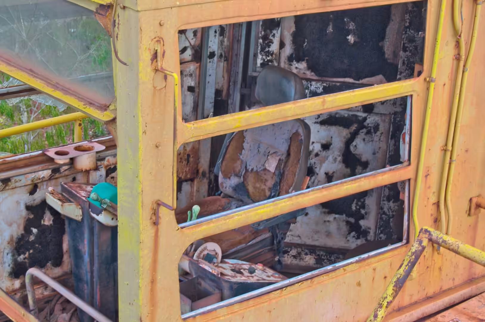
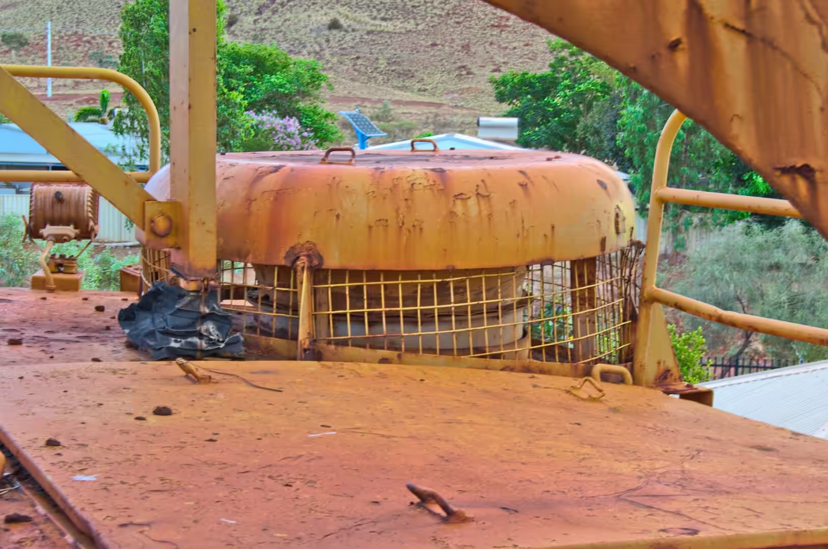
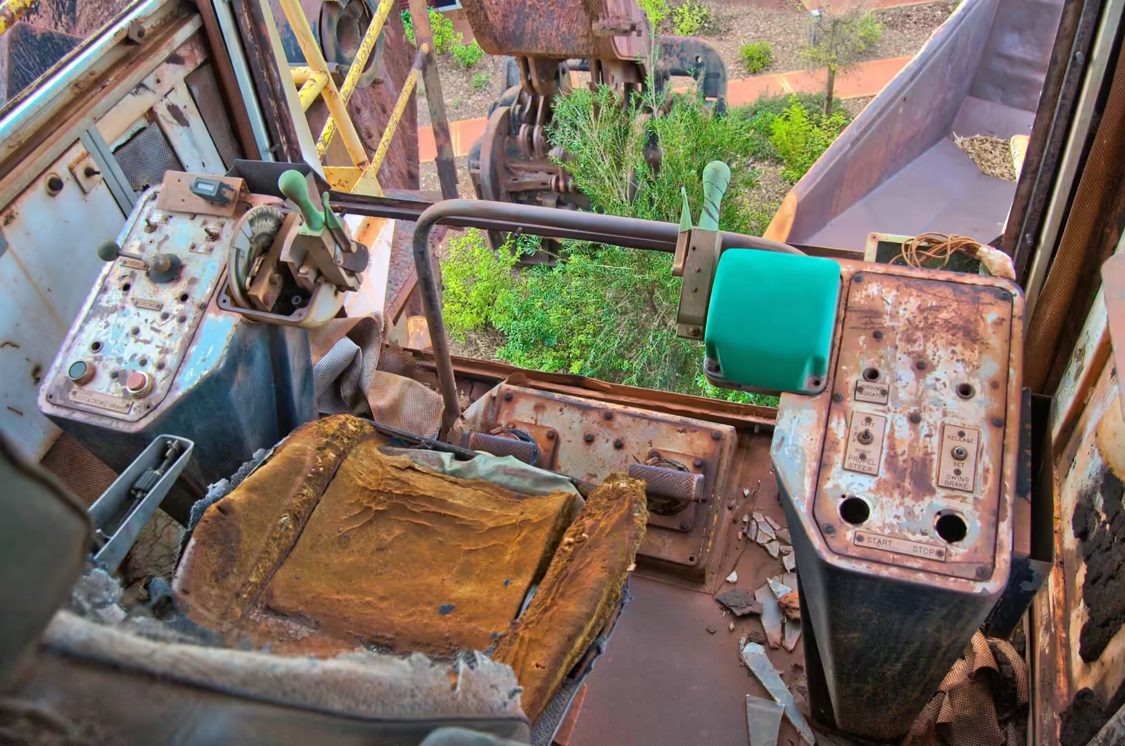
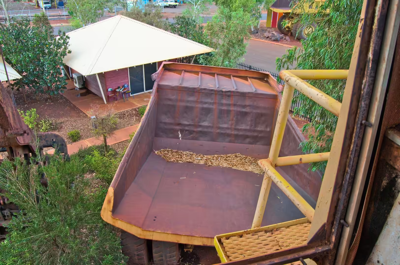
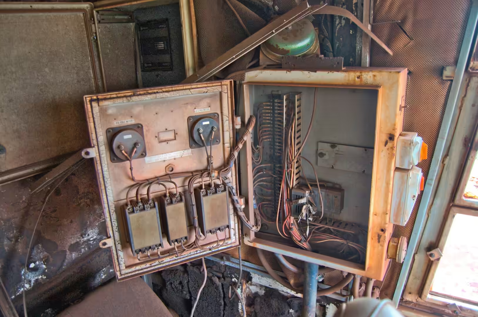
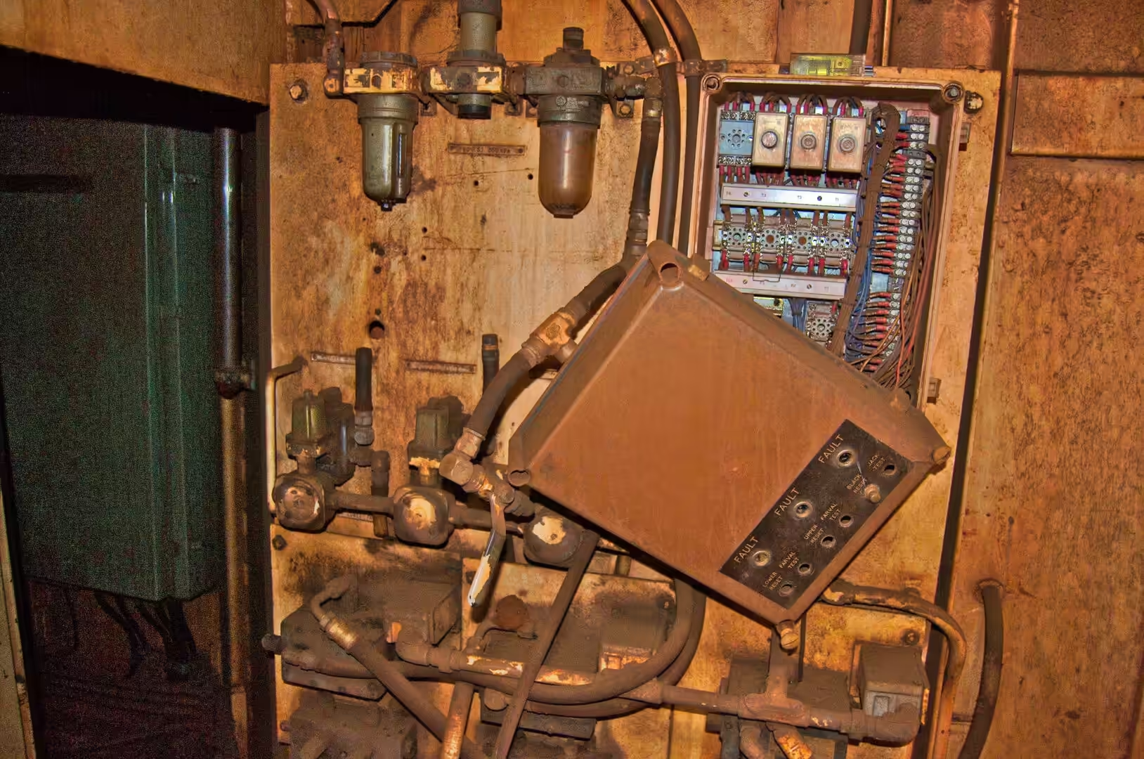
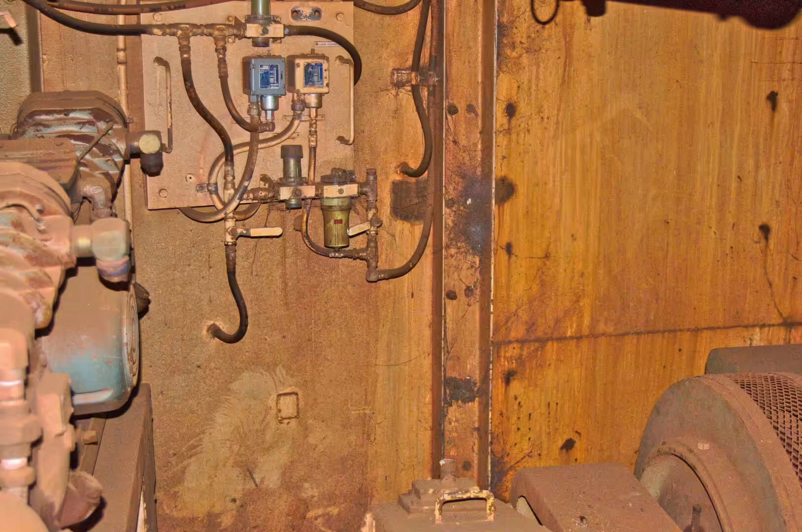
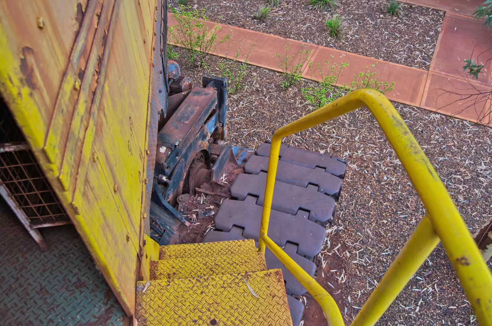
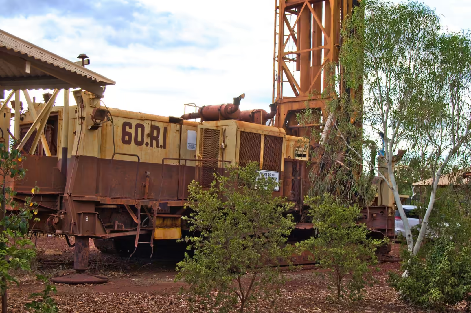
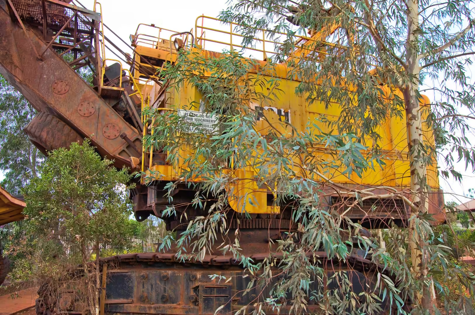
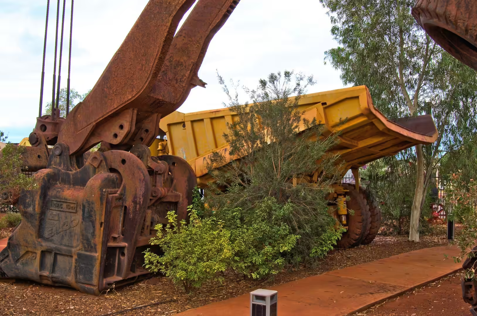
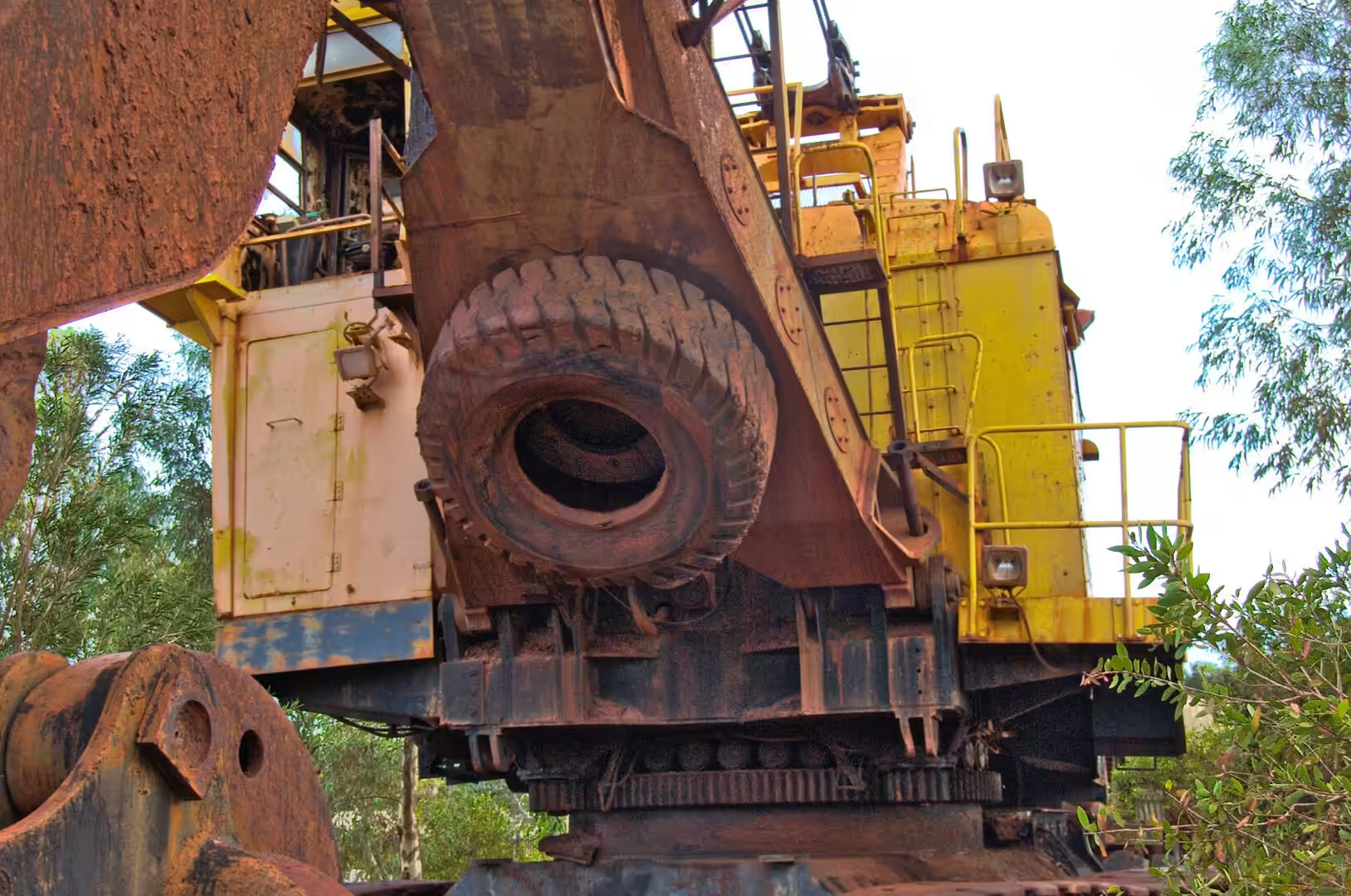
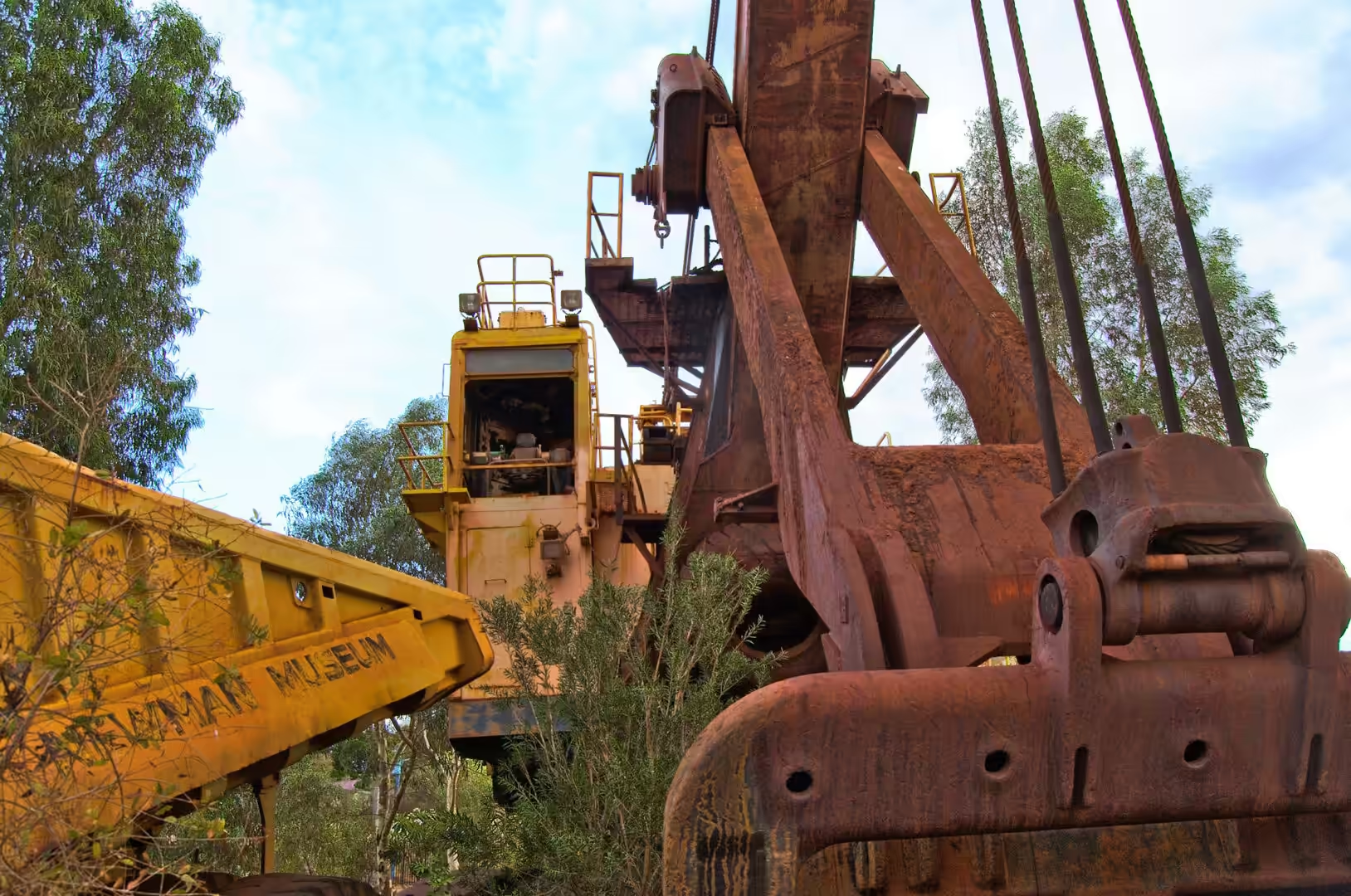
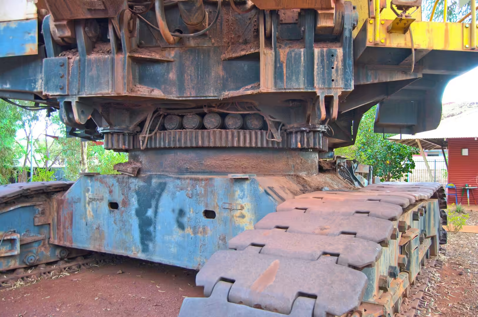
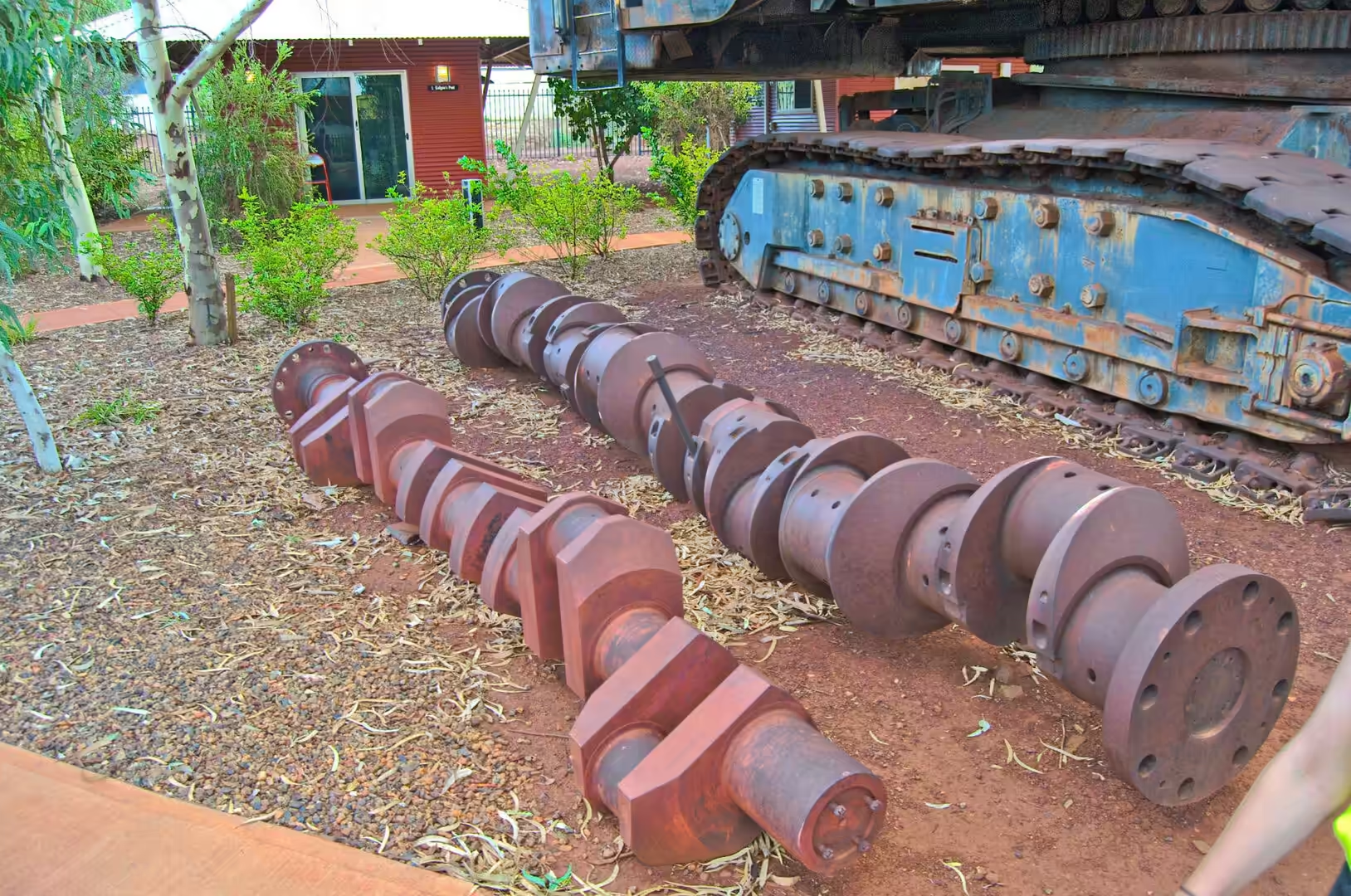
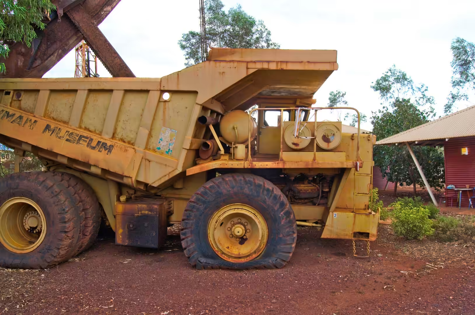
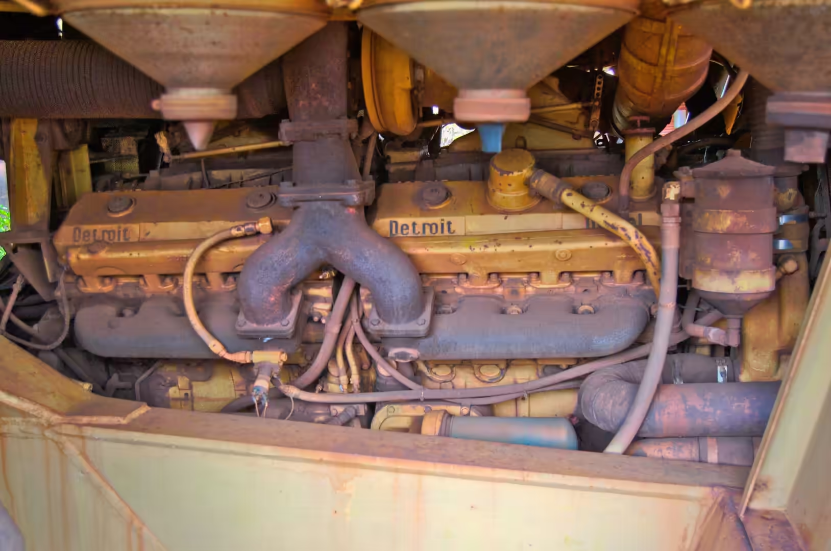
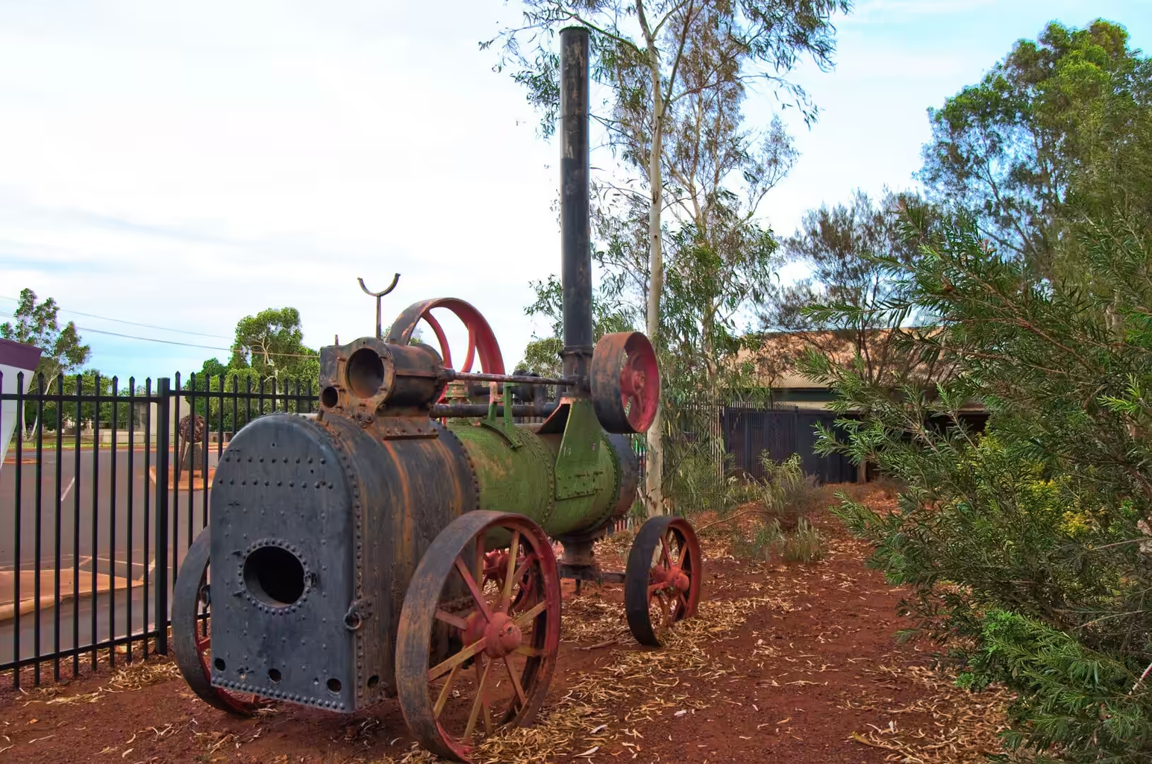
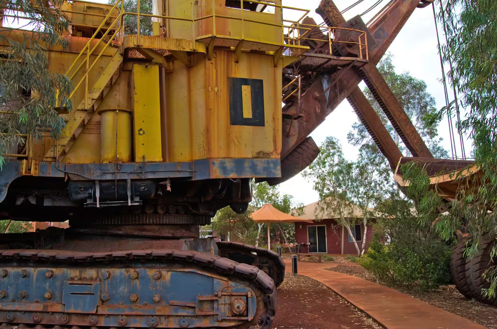
The town’s history is short enough to be told by people who were there for the beginning. The first ore was shipped from the coast in the 1960s, the railway was extended as new deposits were opened, and the population rose and fell with the price of ore and the decisions of the companies. The mining boom of the first two decades of this century brought a second wave of construction, a fly in fly out workforce and a housing shortage, and the town that exists now has the infrastructure of both periods. The visitor centre tells the story with displays, machinery and a walk through the sequence of an ore body from exploration to export.
There is also a much older history, of which the town is only the latest layer. The Pilbara is the country of the Martu and other Aboriginal groups, whose connection to the land has been recognised in native title determinations and in agreements with the mining companies, and whose communities are part of the population of the towns. The archaeology of the region includes occupation sites of great age, and the route of the railway and the location of the mines were negotiated with the traditional owners as well as with the state. The mining economy and the Aboriginal community are not separate stories in the Pilbara, whatever the newspapers suggest.
The visitor arrangements in the mining towns are better than travellers expect. Newman has a visitor centre with a display on the mine and the district, an art gallery that shows the work of Pilbara artists, a lookout over the town and a golf course that is mostly sand, and the swimming pool is a serious piece of civic infrastructure in a place where the temperature passes forty degrees. The mine tours that run from the town are booked through the centre, and the proceeds go some way to explaining why a company town takes the trouble to show visitors what it does.
Geology
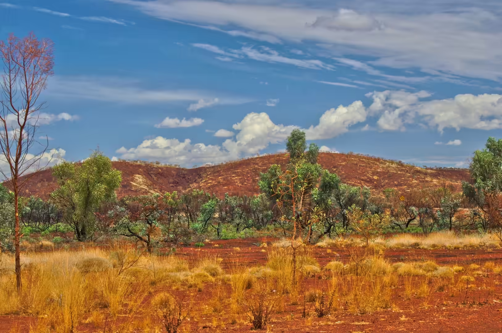
The landscape around Newman is the same banded iron formation country as at Karijini, seen from the road instead of from inside a gorge. The flat topped ranges that stand along the horizon are the eroded edges of the same two and a half billion year old sediments, tilted and cut through, and the dark caps on the mesas are the iron rich bands that resist erosion more than the shales beneath them. The scale is deceptive: a mesa that looks like a small hill takes an hour to drive past.
Between the ranges the plain is covered in spinifex and the red soil that the iron has coloured. The spinifex hummocks stabilise the surface, the termites build their mounds between them, and the eucalypts and acacias along the drainage lines mark the places where water occasionally runs. Nothing about the vegetation suggests abundance, and everything about it is adapted: the plants survive on a rainfall of a few hundred millimetres, most of it in the summer, on soils that hold almost no nutrients.
The dam beside the town is the most important piece of geology in the district and the least dramatic. Water in this country is either mined from ancient aquifers or captured when it falls, and the broad sheet of water behind the dam wall is the visible result of capturing it. The warning panels on the bank are there because the water is deep, the edges are soft and the temperature in the middle of the day is high; the town’s supply and its recreation are the same asset.
The region also holds evidence of events that had nothing to do with the slow accumulation of sediments. The Hickman Crater, thirty five kilometres north of Newman, was recognised in 2007 as an impact structure, a bowl shaped depression formed when a meteorite struck the plateau. Craters of that kind are rare in a landscape this old, because erosion removes them, and the fact that this one survives at all says something about the stability of the Australian interior: the same lack of mountain building that preserved the iron formations has preserved the mark of a collision.
The salt lakes that appear on this drive are the other geological feature of the interior, and they behave in a way that is easy to misread. A lake that looks like a sheet of water from a distance may be a pan of dry salt, and a pan that looks dry may have water a centimetre below a crust that will not carry a vehicle. They form in the lowest parts of the landscape where drainage has no outlet, they fill after rain and dry out afterward, and the salts that remain are the concentrated residue of everything the water collected on its way there. On a still morning they reflect the sky like mirrors, and it is worth stopping to look at one closely: the surface is a texture rather than a colour.
Things to See
The drive from Karijini to Newman is the day’s main event, and it is worth taking slowly. The road passes the turns for Tom Price and Paraburdoo, both mining towns with their own visitor centres and lookouts, and the country either side alternates between spinifex plains, mesas and creek lines. Fuel, food and water are available at Tom Price and at Newman, and between them the only facilities are the rest areas and the roadhouses, which close early.
The dam east of Newman is worth an hour, particularly in the late afternoon. The water attracts birds, the shade along the bank is scarce but real, and the contrast between the green water and the red earth is the reason it appears in every account of the town. It is also a reminder of how the district works: everything that lives here, including the people, depends on water that has been captured, stored or pumped, and the management of that water is the central question of the place.
The town itself is small enough to walk around and interesting enough to spend a couple of hours in. There is a supermarket and a shopping centre with the range of goods that a remote town needs, a bakery, a pub, a swimming pool and a visitor centre that explains the mine and the town. The main street has the look of every modern Australian town in a hot climate: wide, planted, shaded where it can be and empty in the middle of the day.
The wildlife of the district is at its most visible in the early morning and the evening. The bird at the rest area is one of a number of species that live in the spinifex and the eucalypt country, and the road verges at dusk are where the kangaroos and the euros come to feed. The warning signs about cattle and kangaroos are not decoration, and driving this country at night, with the animals on the road and the road trains on the other side, is not something to be attempted after a long day.
References
- Wikipedia contributors (2026). Newman, Western Australia. en.wikipedia.org/wiki/Newman%2C%20Western%20Australia
- Wikipedia contributors (2026). Mount Whaleback mine. en.wikipedia.org/wiki/Mount%20Whaleback%20mine
- Wikipedia contributors (2026). Marandoo mine. en.wikipedia.org/wiki/Marandoo%20mine
- Wikipedia contributors (2026). Yandi mine. en.wikipedia.org/wiki/Yandi%20mine
- Wikipedia contributors (2026). BHP. en.wikipedia.org/wiki/BHP
- Wikipedia contributors (2026). Pilbara. en.wikipedia.org/wiki/Pilbara
- Wikipedia contributors (2026). Pilbara Craton. en.wikipedia.org/wiki/Pilbara%20Craton
- Wikipedia contributors (2026). Great Sandy Desert. en.wikipedia.org/wiki/Great%20Sandy%20Desert
- Wikipedia contributors (2026). Martu people. en.wikipedia.org/wiki/Martu%20people
- Wikipedia contributors (2026). Iron ore. en.wikipedia.org/wiki/Iron%20ore
- Wikipedia contributors (2026). Western Australia. en.wikipedia.org/wiki/Western%20Australia
- Wikipedia contributors (2026). Port Hedland, Western Australia. en.wikipedia.org/wiki/Port%20Hedland%2C%20Western%20Australia
- Cousins D., Nieuwenhuysen J. (2020) Iron ore mining in the Pilbara. Aboriginals and the Mining Industry. 120-141. doi.org/10.4324/9781003114819-7
- Holcombe S. (2010) Sustainable Aboriginal livelihoods and the Pilbara mining boom. Indigenous Participation in Australian Economies: Historical and anthropological perspectives. doi.org/10.22459/ipae.12.2010.09
- Thorne W., Hagemann S., Webb A., Clout J. (2008) Banded Iron Formation-Related Iron Ore Deposits of the Hamersley Province, Western Australia. Banded Iron Formation-Related High-Grade Iron Ore. 197-221. doi.org/10.5382/rev.15.08