Day 2 - Windhoek / Keetmanshoop
7 June 2019


Journal Notes
General
The first full day of driving went south from the capital towards the Kalahari and the country of the quiver trees. The road leaves Windhoek through the hills of the Khomas Highland, drops off the plateau, and then runs in a long straight line across a plain of red sand and pale grass with the mountains standing in the haze ahead.
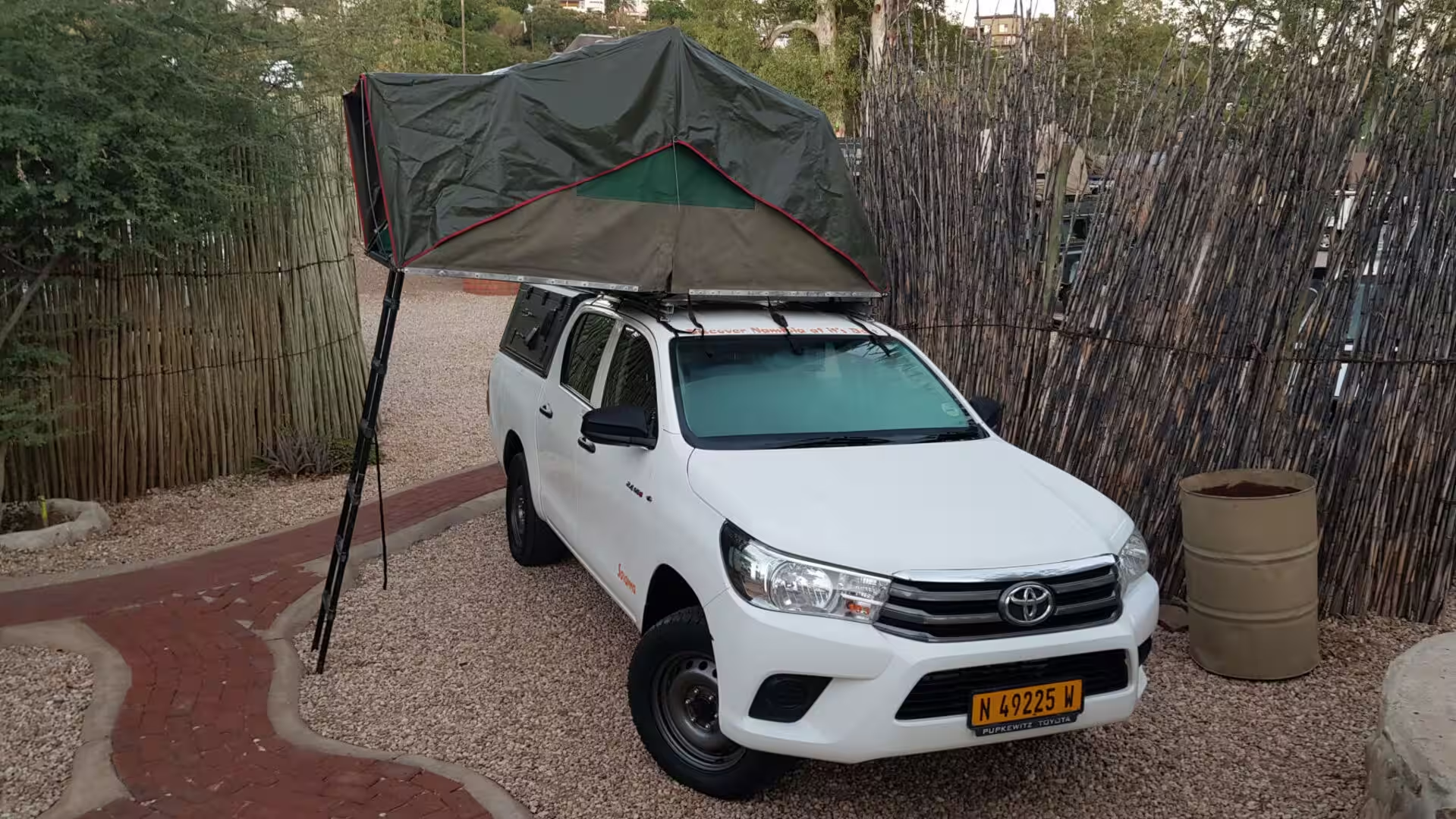
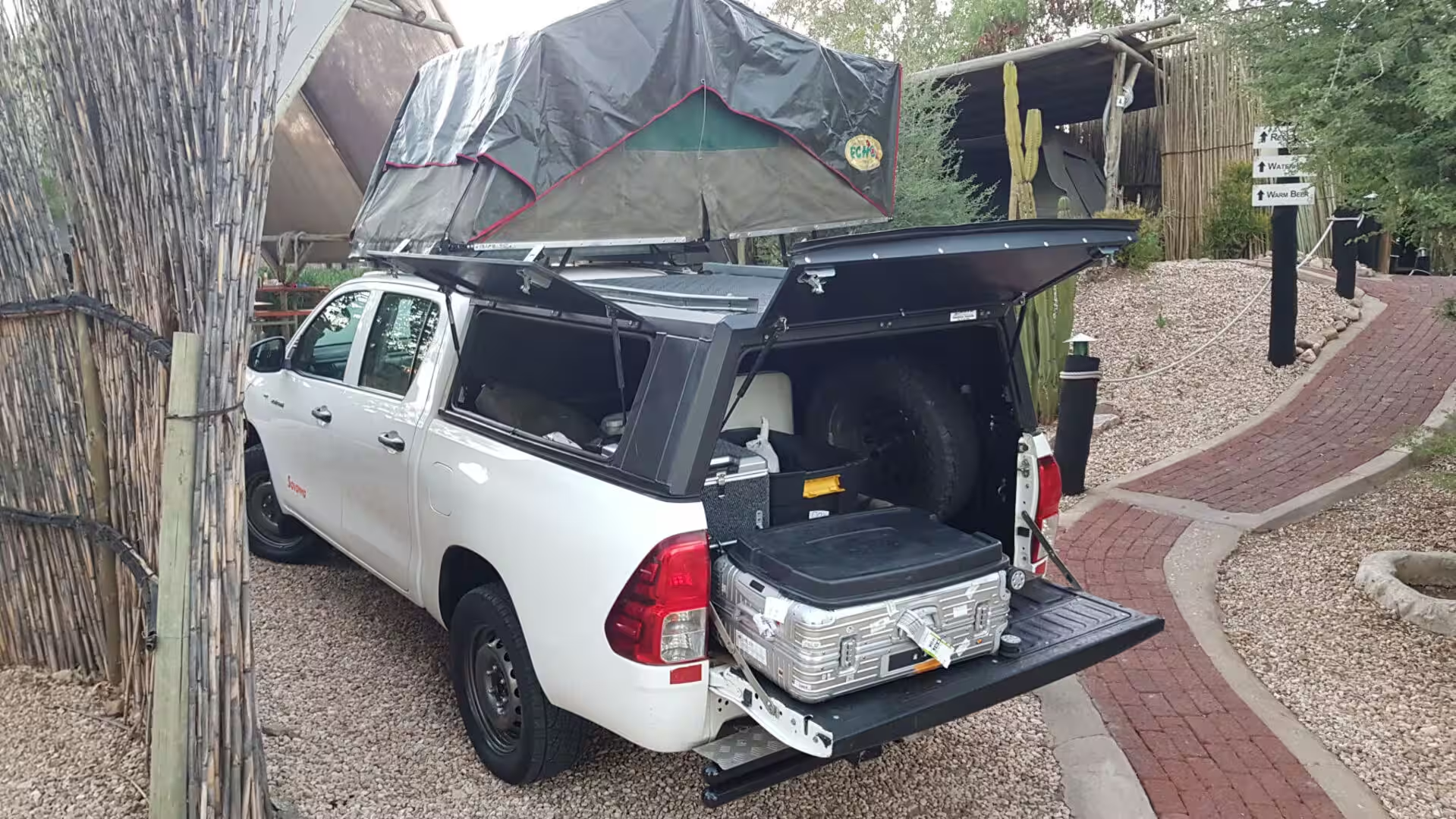
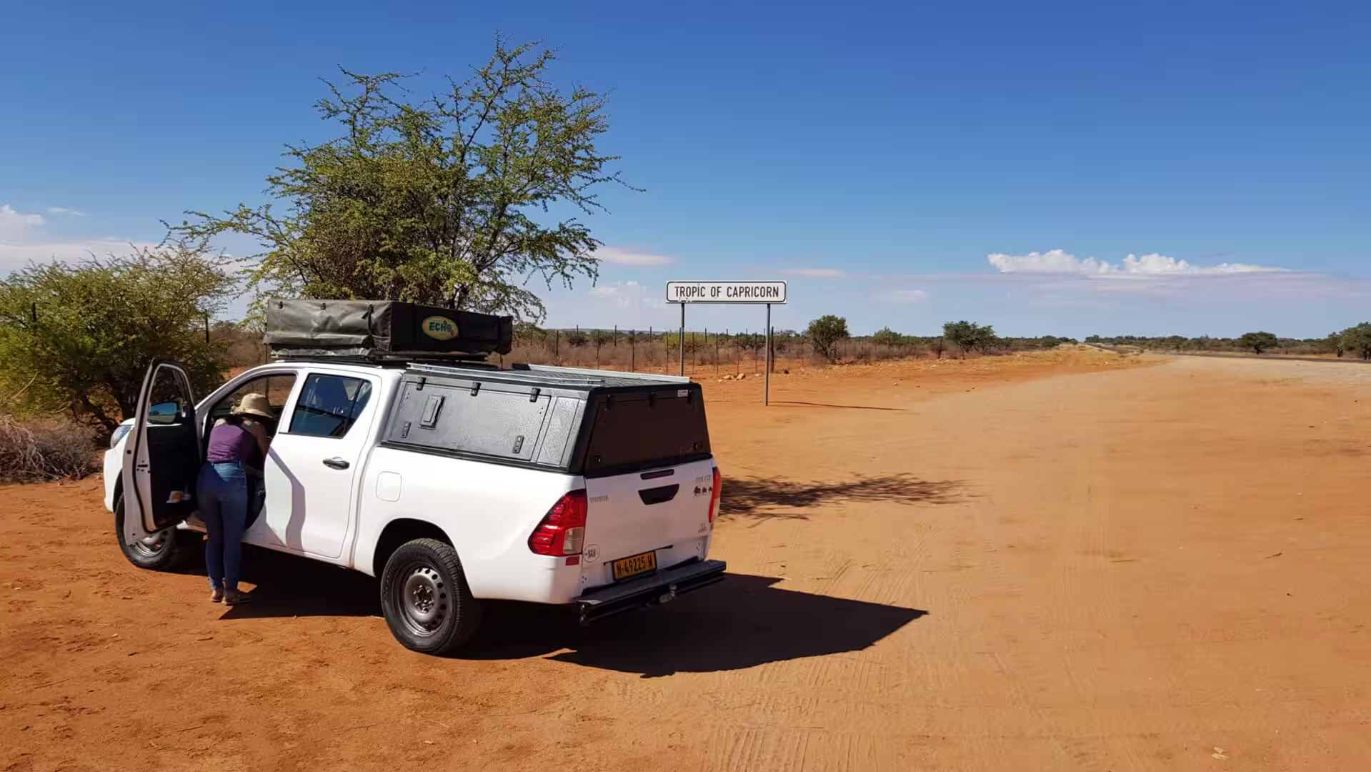
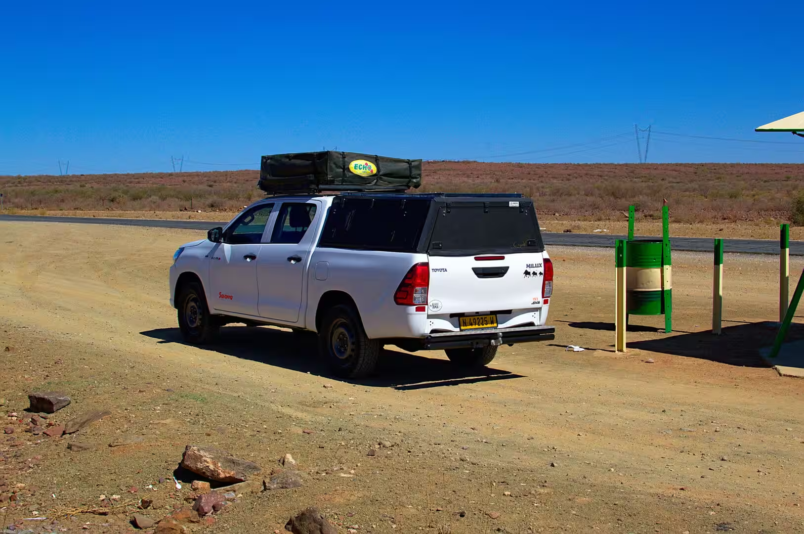
The vehicle of the journey is a pickup with a roof tent, and the day was also the day of learning to live with it. The tent unfolds on a frame above the cab and sleeps two people above the ground, out of the reach of snakes and scorpions; the bed of the pickup carries the fridge, the water, the cooking box, the chairs, the table and the spare wheel; and everything is packed in a system that only makes sense when the traveller has used it once. The reward is that the camp can be made anywhere.
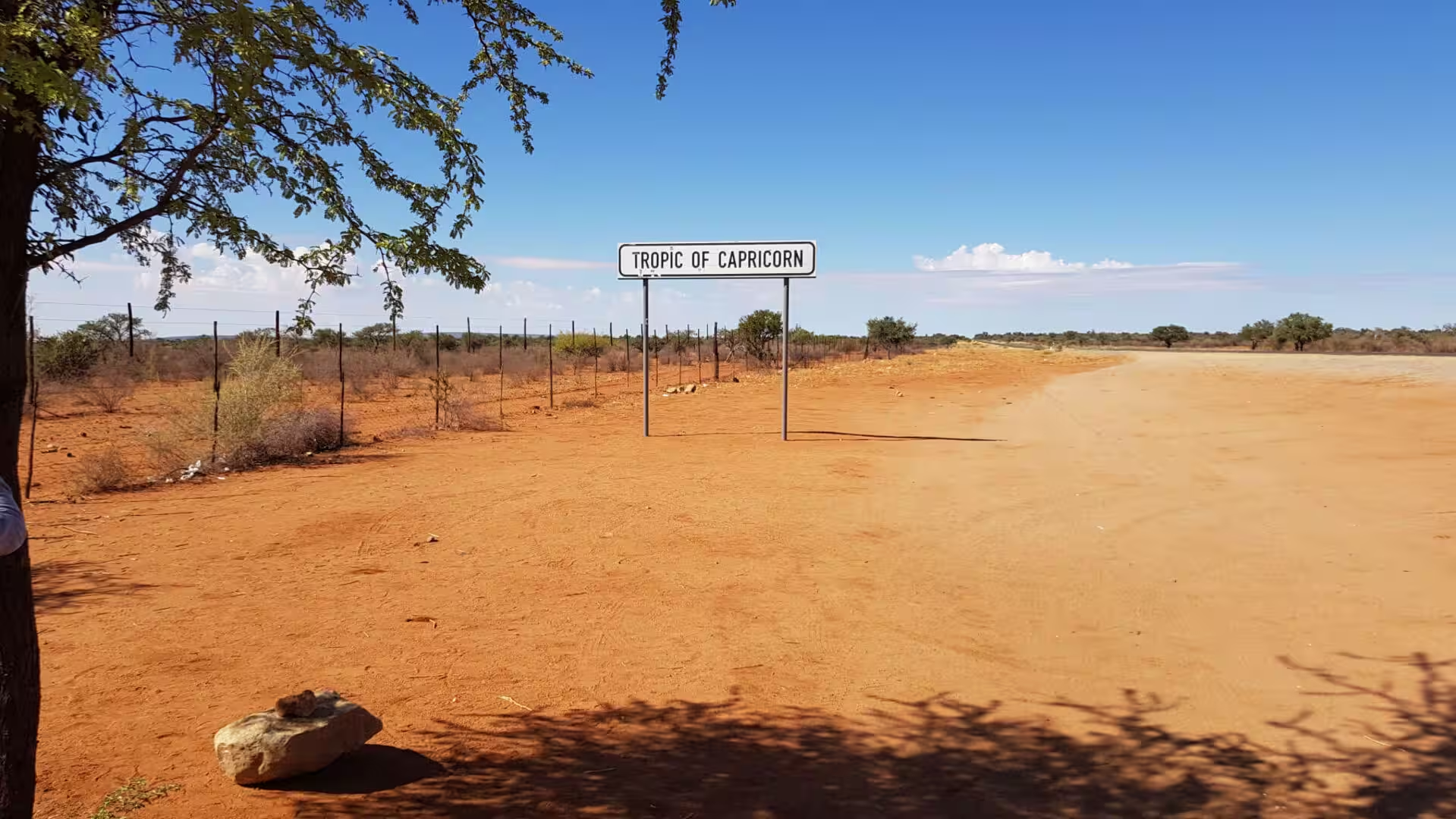
The first stop of the day was at the sign on the road that marks the Tropic of Capricorn. The line crosses Namibia in the south of the country and is a place where every traveller on the road stops for a moment, and the country around it is the Kalahari: red sand, dry grass, scattered trees and the enormous sky that the flat country lets in. The sign is one of the few marks of the modern world in a day of driving.
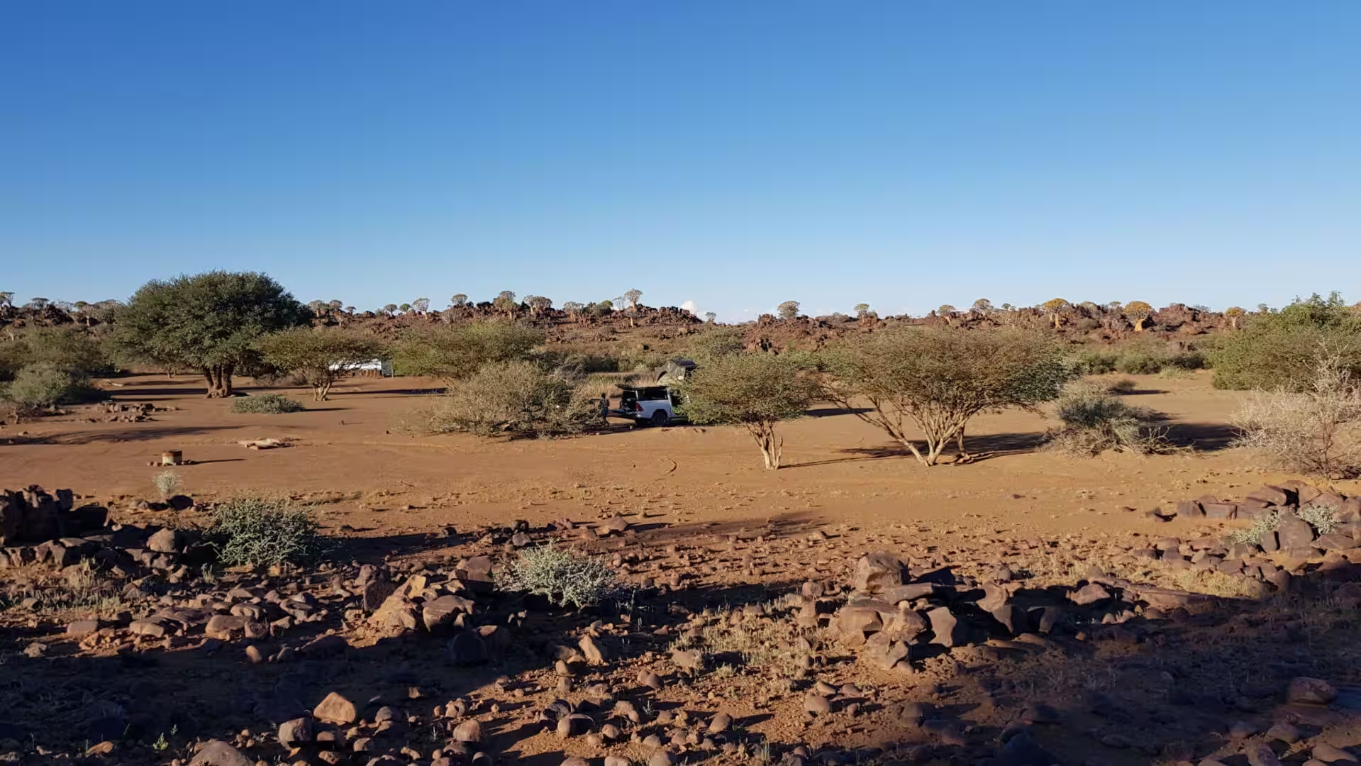
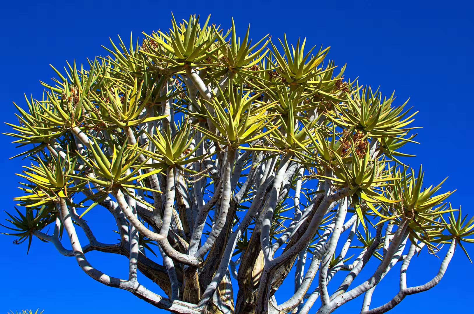
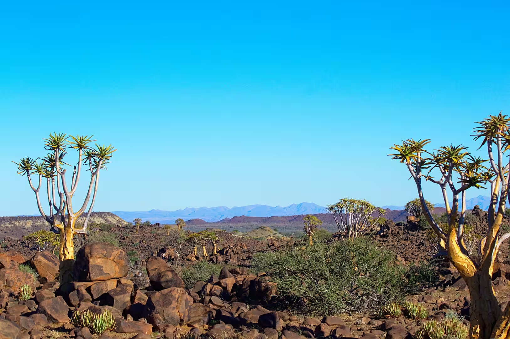
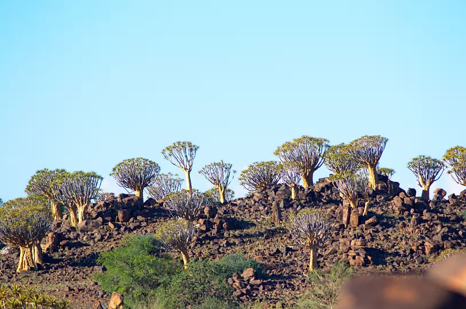
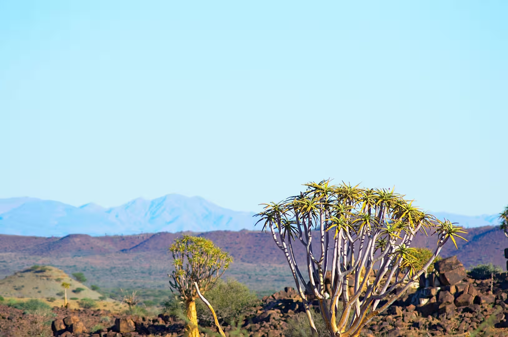
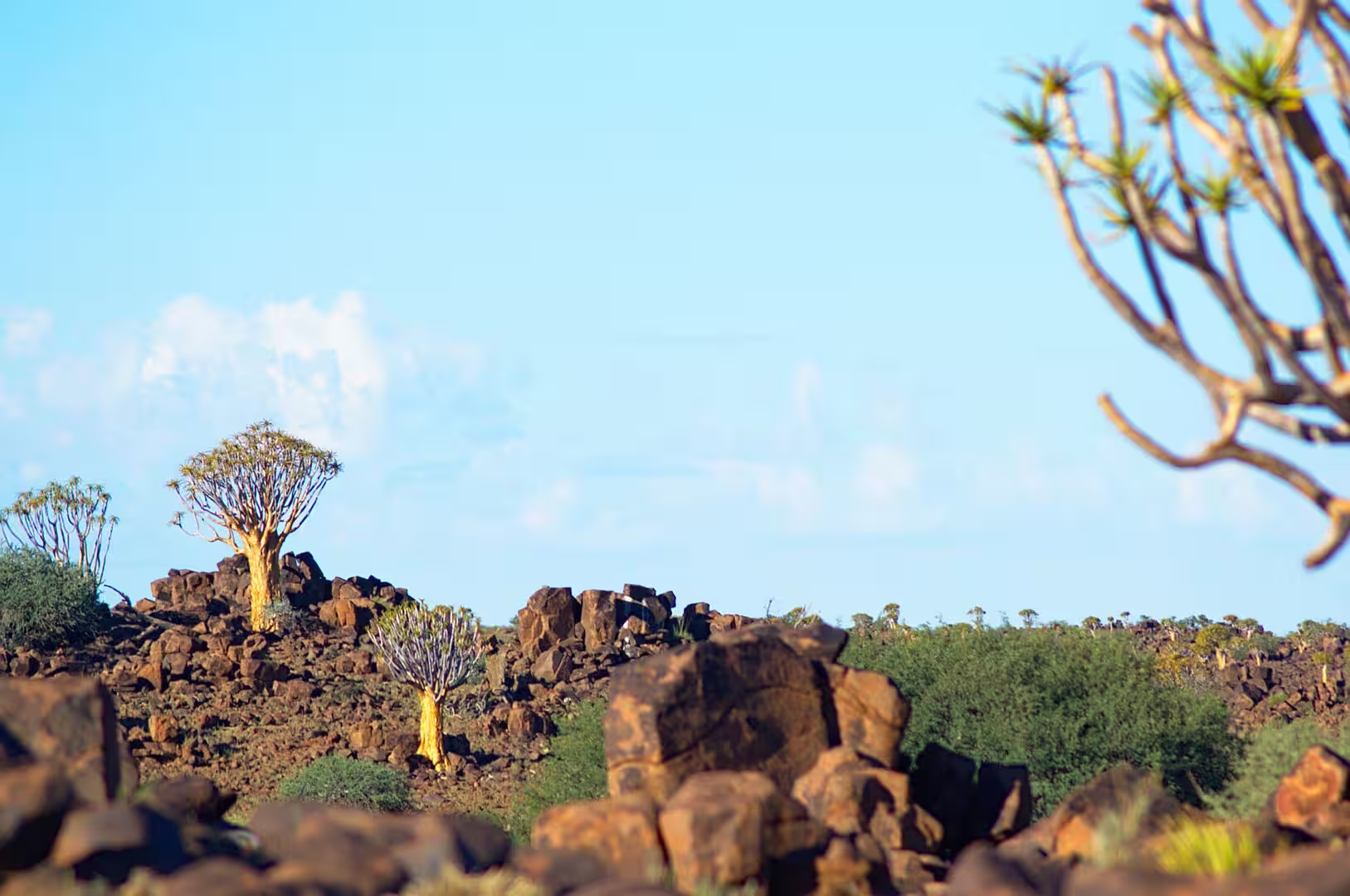
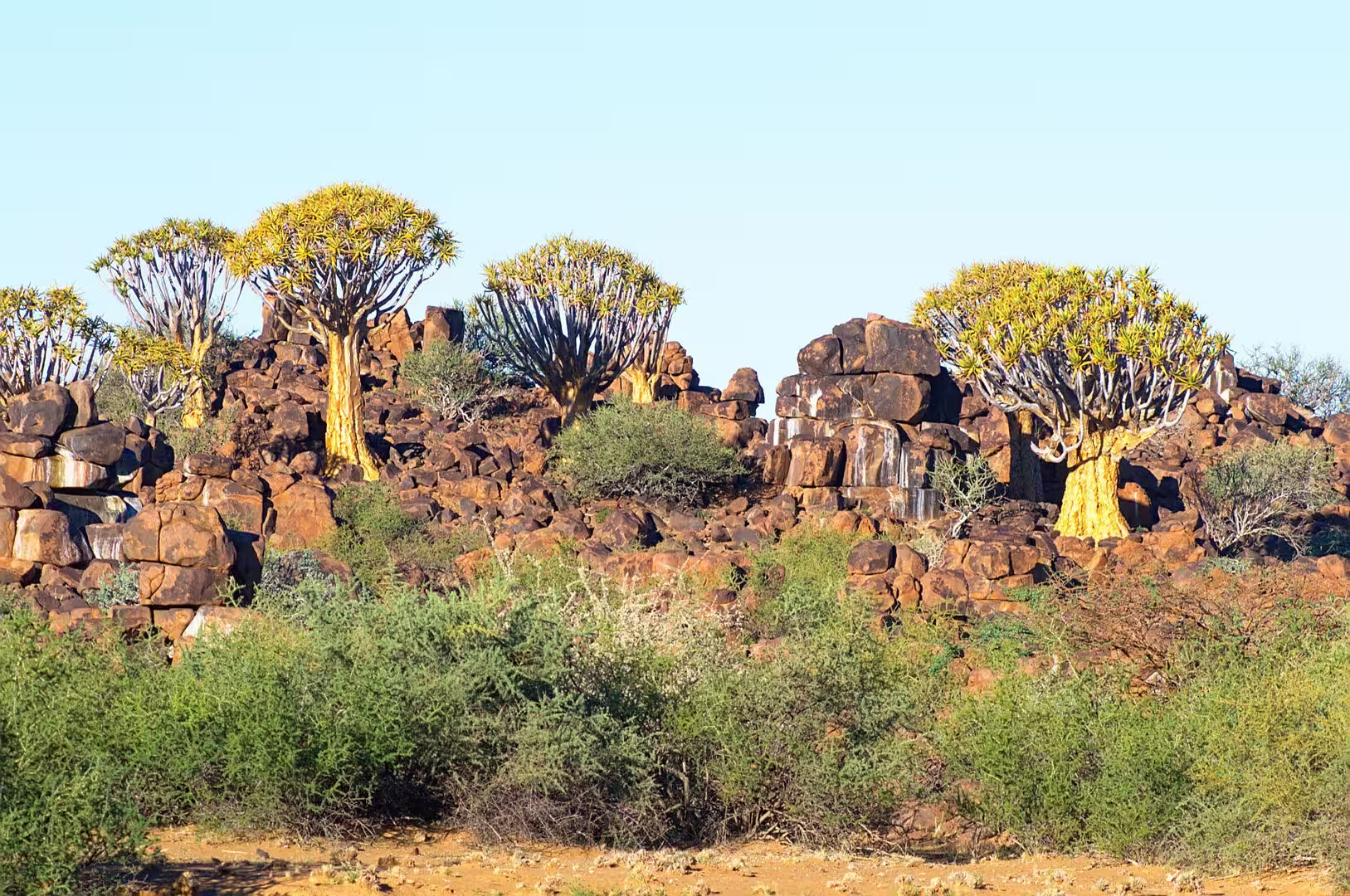
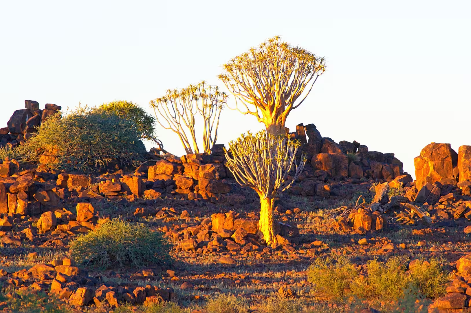
The afternoon brought the quiver trees. They begin to appear as the road approaches Keetmanshoop, first one or two on the rocky ridges beside the road and then, at the quiver tree forest north of the town, in hundreds on a hillside of dark boulders. They are aloes that have grown into trees, with a trunk of yellowish bark, a crown of forked branches and rosettes of pointed leaves, and standing among the rounded rocks of the outcrop they look like a piece of sculpture rather than a plant.
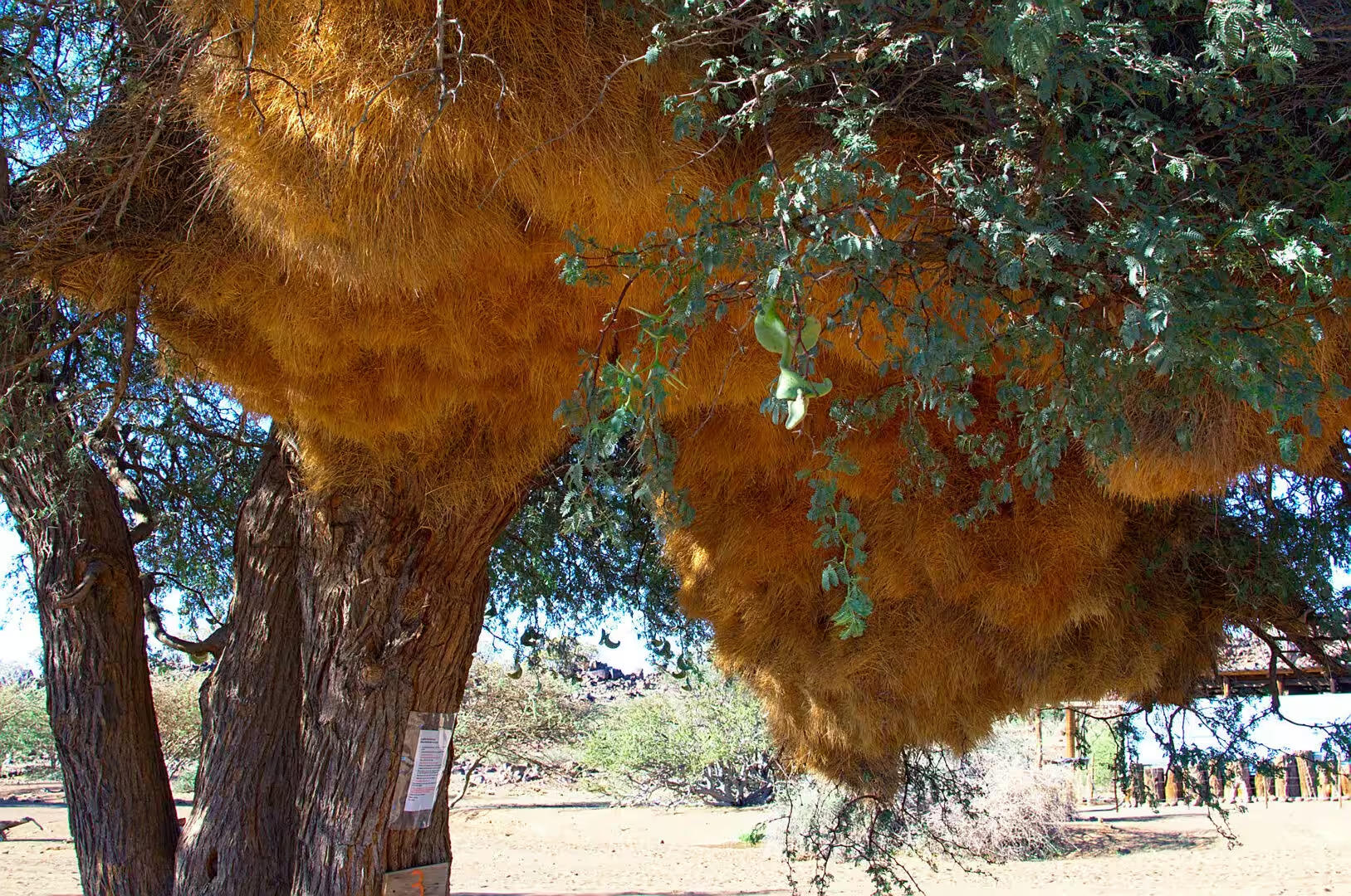
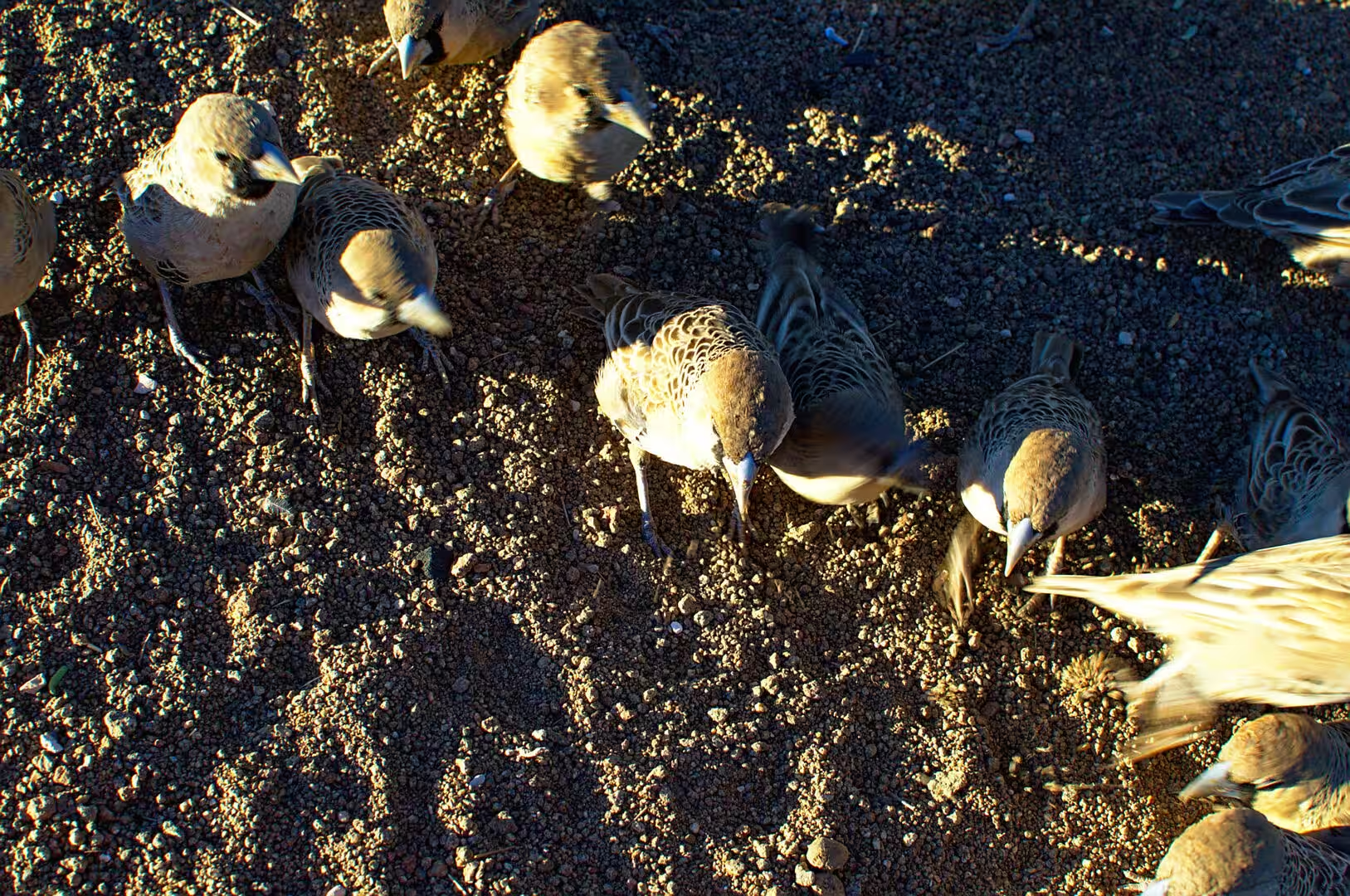
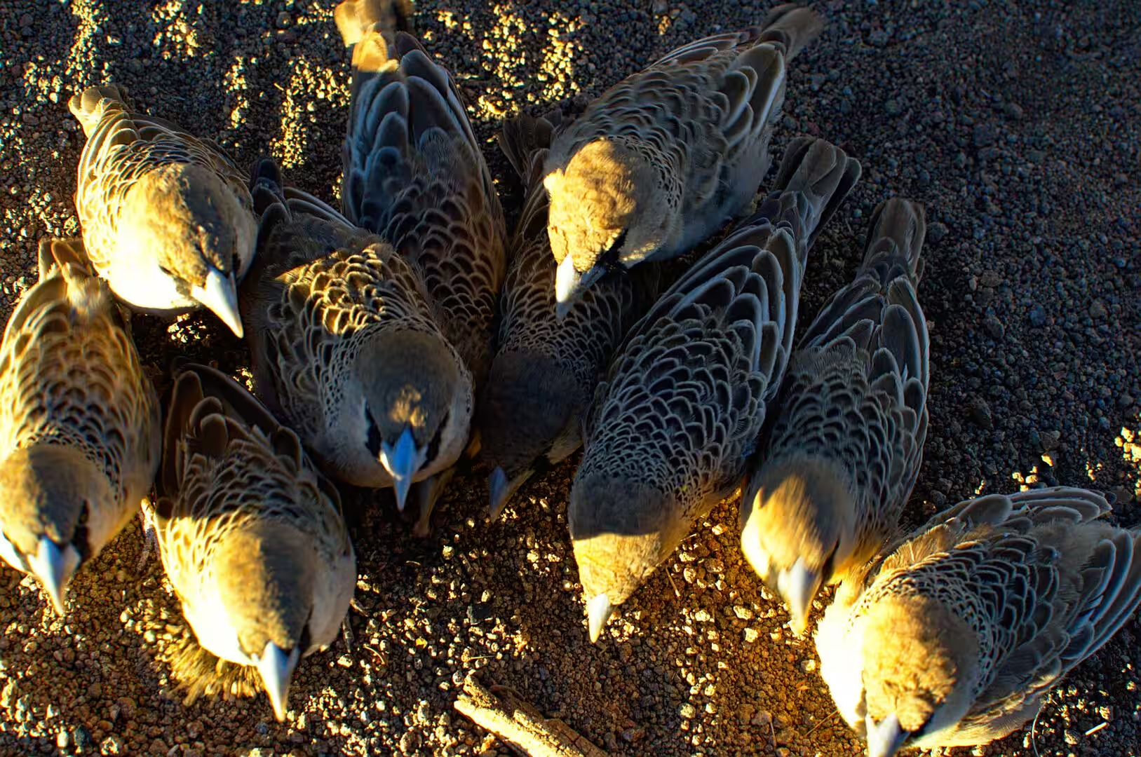
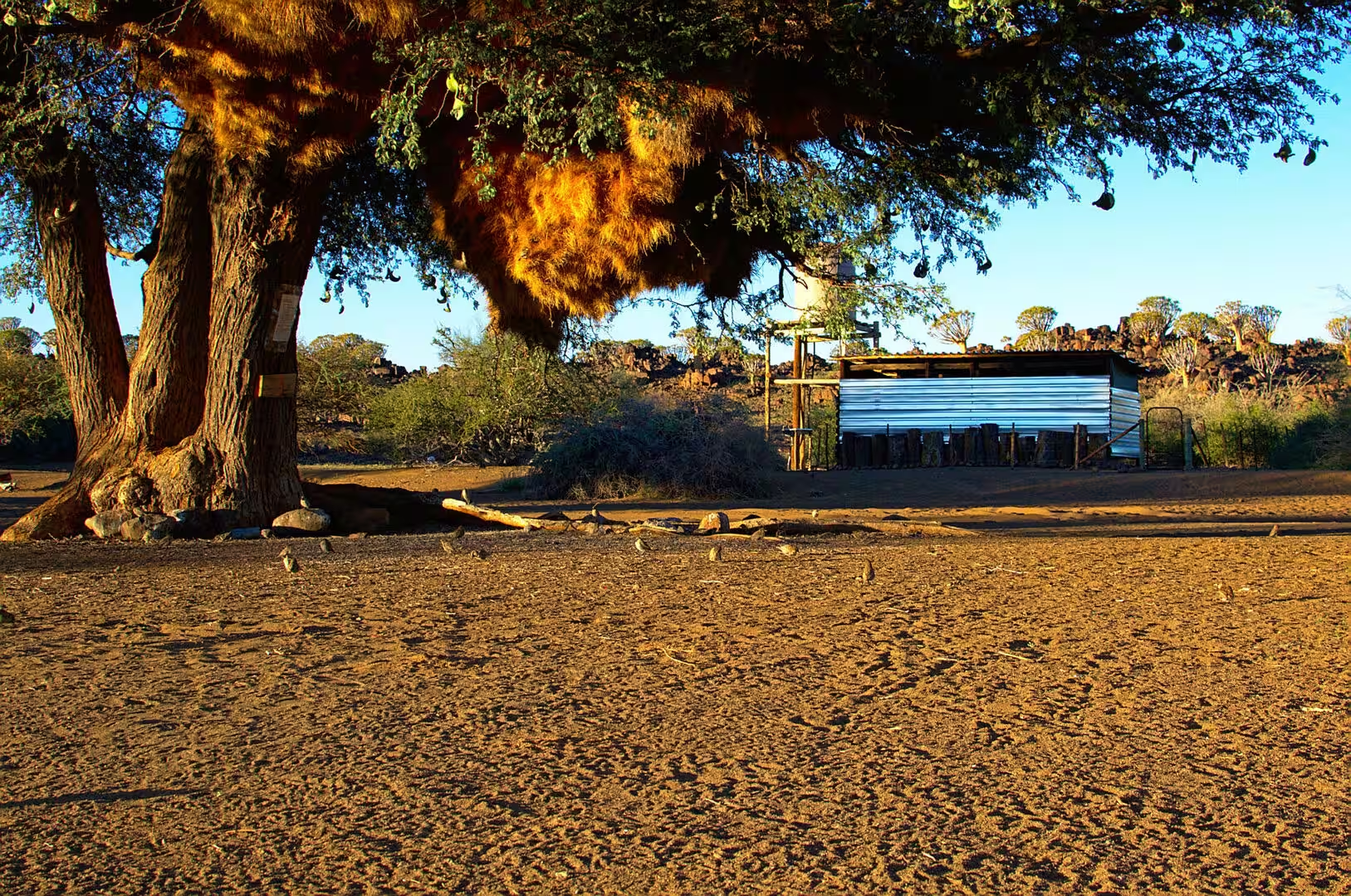
The evening was spent at the town campsite, and it produced the second of the small wonders of the trip. The sociable weavers build their nests in the trees along the road and in the poles of the electricity line, and the nest is not a nest but a structure: a thatched mass of dry grass with a hard top and dozens of entrance holes below, occupied by a colony of small brown birds that spends its days in the savanna and its nights inside the straw. In the light of the setting sun the nests glow gold in the trees.
History
Keetmanshoop takes its name from a missionary society and a benefactor rather than from the people who lived there. The settlement began as a mission station of the Rhenish Mission in the middle of the nineteenth century, and it was named after Johann Keetman, a German businessman whose bequest paid for the work. The town grew into the administrative centre of the region around it, and it is today the capital of the far south of Namibia with a population of about twenty eight thousand people.
The older history of the area belongs to the Nama. The valleys of the Fish River and its tributaries were the country of Nama communities who lived from their herds and from the waterholes, and their names for the mountains and the springs are still the names on the map. Keetmanshoop was also, in the colonial period, one of the places where the Nama leader Hendrik Witbooi operated in the war against the German administration, and the memory of that war is present in the whole south of the country.
The trees that the day is remembered for have their own history of use. The quiver tree was named by the settlers for the purpose the San and the Nama found for it: the soft, light wood of the branches was hollowed out into the quivers for their arrows, and the bark and the trunk were used for other tools. The plant itself lives for centuries, it flowers in the middle of the winter, and its distribution marks the boundary of the true desert in the Northern Cape and the south of Namibia.
The birds that build the straw nests are among the most unusual in Africa. The sociable weaver is the only species in its genus, it is found only in the dry country of the Northern Cape, Namibia and Botswana, and it is the only bird that builds a permanent communal structure of this kind: a mass of grass that is inherited by one generation from the next, kept up all year and used for nesting, roosting and shelter from the heat and the cold. The holes in the underside of the nest are the entrances to a labyrinth of separate chambers, and the whole structure is the work of a colony that may number several hundred birds.
The road south also passes the places where the modern history of the country was written. The towns of the south grew around the mission stations and the railway that the German administration built to reach the mines and the ports, and the line of the railway is still the spine of the region: it runs from the capital through Keetmanshoop to the south, it carried the copper and the cattle of the interior, and it was the route by which the colonial power moved its troops during the wars of 1904 to 1908. The stations along it are the small towns of today.
Geology
The country that the road crossed south of the capital belongs to the Kalahari basin. The sand that covers it is not the sand of a desert in the simple sense but the deposit of rivers and winds that has been accumulating for millions of years, red with iron oxide, and deep enough in places to bury the older rock completely. It is a semiarid savanna rather than a desert, and after rain the grass that the herds depend on comes up through it within days. The line of the tropic crosses it without any change in the landscape, which is the point of the day for anyone who expects a line on a map to be visible on the ground.
The rocks that the quiver trees grow on are the other feature of the area. Between the sand of the Kalahari and the escarpment to the west lie outcrops of older rock, dark volcanic and sedimentary layers that stand as ridges and low hills above the plain, and it is on these rocky slopes that the quiver trees and the sociable weaver colonies are found. The contrast between the red sand, the dark stone and the yellow-green rosettes of the trees is the palette of the southern Namibian landscape.
The climate of the south is the harshest in the country. Rain falls in the summer and often not at all, the daytime temperatures in summer pass forty degrees, the winter nights drop below freezing, and the wind is almost constant. The plants and the animals of the region have adapted to that regime in the ways the traveller can see: the quiver trees store water in their trunks and their leaves, the weavers live in insulated structures, and the game of the area is active in the hours around dawn and dusk.
The escarpment that divides the plateau from the coastal plain was visible at the end of the day as a line of hills on the western horizon. It is the step that the whole geography of Namibia revolves around: the rain falls on the plateau and runs west, the rivers cut the gorges that the journey was to visit later, and the coast beyond is the desert. A journey across Namibia from the capital to the coast is a journey down that step, and the day south was the beginning of it.
Things to See
The quiver tree forest north of Keetmanshoop is the sight of the day and one of the easiest of the whole country to visit. It lies a few kilometres off the main road on a farm that charges a small fee, the trees stand in a dense colony on a hillside of huge dark boulders, and the light in the late afternoon turns the bark and the boulders the same colour. The walk among them takes an hour, the path is marked, and the traveller who waits for the last light of the day is rewarded with the best hour of the landscape.
The sociable weavers are visible along the whole road, and the best place to watch them is any roadside tree or electricity pole with one of the straw masses on it. The colony is busiest in the early morning and the late afternoon, when the birds return and leave, and a pair of binoculars turns an odd lump of grass into a busy small city with a queue at every entrance. The birds are the most sociable and the most photogenic of the common birds of the south, and they cost nothing to see.
The town of Keetmanshoop is the practical centre of the day. It has fuel, supermarkets, a bank and a hospital, and it is the last place of any size before the long roads to the Fish River Canyon and the coast. The campsite is on the edge of the town and is the usual Namibian arrangement of pitches, power and ablutions, and the restaurant of the camp or the hotel in the town is the place to eat if the fire is not lit. Travellers coming from the capital usually stop here for the first night of the journey south.
A note on driving in this part of the country is worth having. The roads between the towns are tarred and mostly straight, the junctions are marked, and the maps are good, but the distances are long and the services are far apart. The animals are the real hazard: the cattle, the donkeys and the game that graze the verges and wander onto the road at dusk, the kudu that comes out of the bush at night, and the warthogs that decide to cross in front of the car. The rule of the road in Namibia is to arrive before dark, and it is a rule worth keeping.
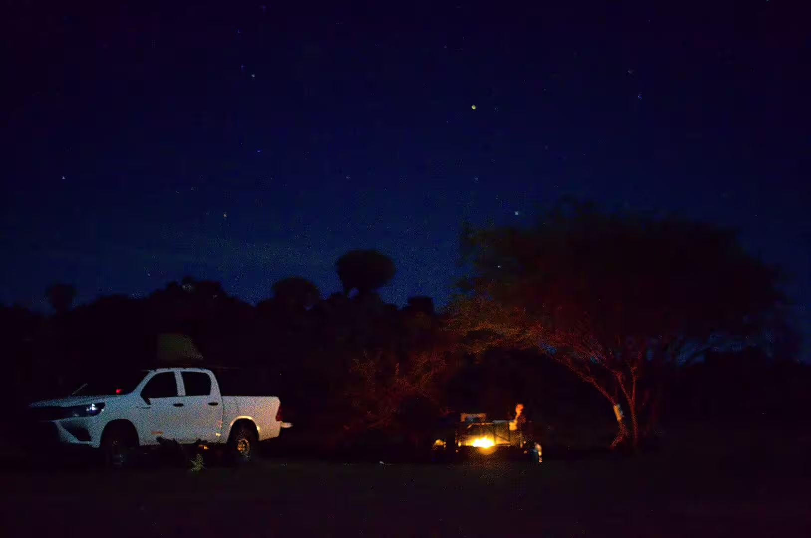
The day ends in the way that every day of the journey ends. The tent is opened at sunset, the chairs are put out, the fire is lit when the light goes, and the food is cooked on the coals while the sky turns from orange to black. The animals of the camp visit in the dark, the stars come out in numbers that no city dweller is prepared for, and the temperature falls until the sleeping bag is welcome. It is a simple routine, and by the end of the first week it is the shape of the holiday.
References
- Wikipedia contributors (2026). Windhoek. en.wikipedia.org/wiki/Windhoek
- Wikipedia contributors (2026). Keetmanshoop. en.wikipedia.org/wiki/Keetmanshoop
- Wikipedia contributors (2026). Maltahöhe. en.wikipedia.org/wiki/Maltah%C3%B6he
- Wikipedia contributors (2026). Quiver tree. en.wikipedia.org/wiki/Quiver%20tree
- Wikipedia contributors (2026). Sociable weaver. en.wikipedia.org/wiki/Sociable%20weaver
- Wikipedia contributors (2026). Kalahari Desert. en.wikipedia.org/wiki/Kalahari%20Desert
- Wikipedia contributors (2026). Tropic of Capricorn. en.wikipedia.org/wiki/Tropic%20of%20Capricorn
- Wikipedia contributors (2026). Nama people. en.wikipedia.org/wiki/Nama%20people
- Wikipedia contributors (2026). Namibia. en.wikipedia.org/wiki/Namibia
- Wikipedia contributors (2026). German South West Africa. en.wikipedia.org/wiki/German%20South%20West%20Africa
- Wikipedia contributors (2026). South West Africa. en.wikipedia.org/wiki/South%20West%20Africa
- Wikipedia contributors (2026). ǁKaras Region. en.wikipedia.org/wiki/%C7%81Karas%20Region
- White F.N., Bartholomew G.A., Howell T.R. (1975) THE THERMAL SIGNIFICANCE OF THE NEST OF THE SOCIABLE WEAVER PHILETAIRUS SOCIUS: WINTER OBSERVATIONS. Ibis. 117. 171-179. doi.org/10.1111/j.1474-919x.1975.tb04205.x
- du Toit J.C., van den Berg L., van Lingen M., Goodall V.L., et al. (2022) Catastrophic collapses of sensitive species, including the quiver tree (Aloidendron dichotomum), following fire in the arid Nama-Karoo, South Africa. Journal of Arid Environments. 201. 104737. doi.org/10.1016/j.jaridenv.2022.104737
- Whitford W.G. (1999) Comparison of ecosystem processes in the Nama-karoo and other deserts. The Karoo. 291-302. doi.org/10.1017/cbo9780511541988.024
- Schaller D.J. (2017) Genocide in Colonial South-West Africa: The German War against the Herero and Nama, 1904-1907. Genocide of Indigenous Peoples. 37-60. doi.org/10.4324/9780203790830-3