Day 3 - Arizona / California
3 May 2022


Journal Notes
General
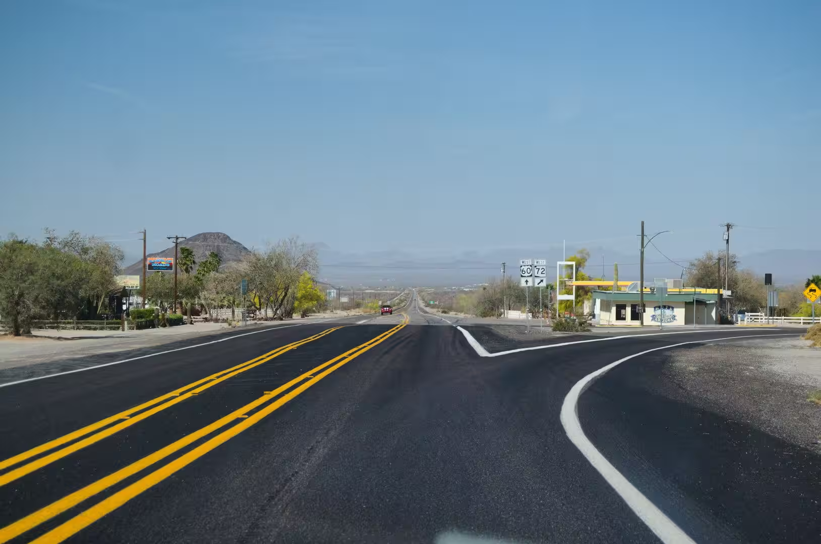
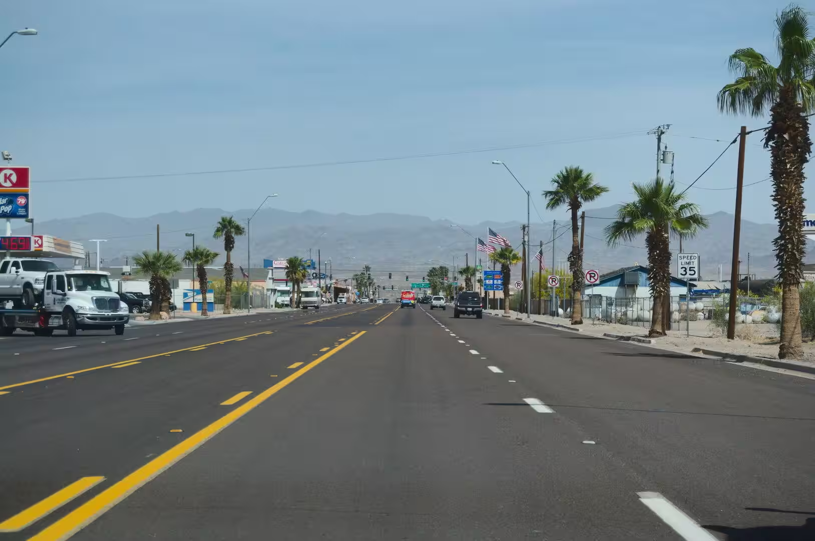
The road from Arizona into California crosses the Mojave Desert on one of the oldest corridors of the American west. Interstate 40 enters the state east of Needles, where it crosses the Colorado River, and runs 155 miles, or 249 kilometres, through San Bernardino County to Barstow, a stretch that is known as the Needles Freeway and that follows much of the alignment of the old Route 66. From the corridor the smaller roads run south towards the towns of the high desert around Joshua Tree National Park.
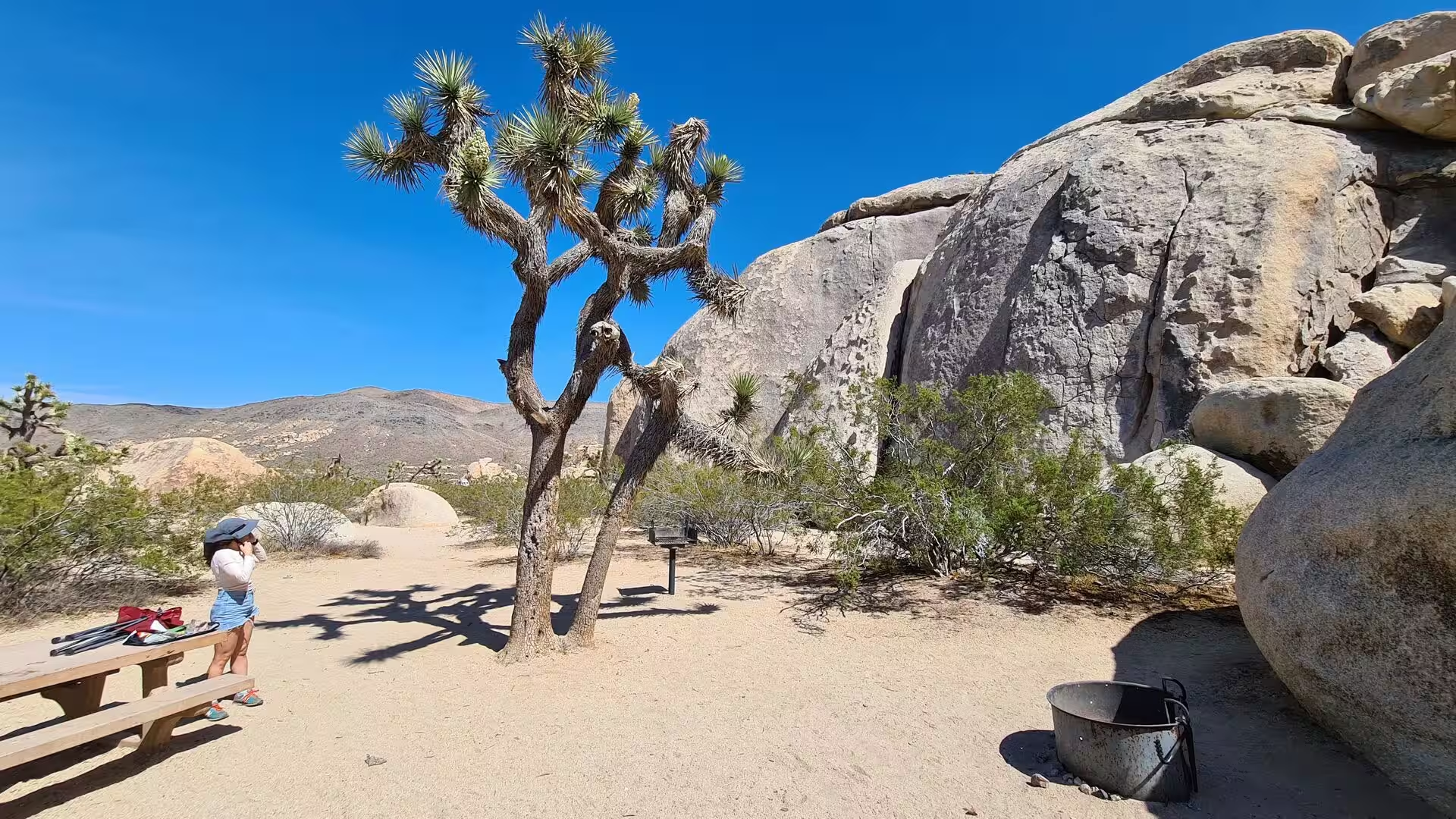
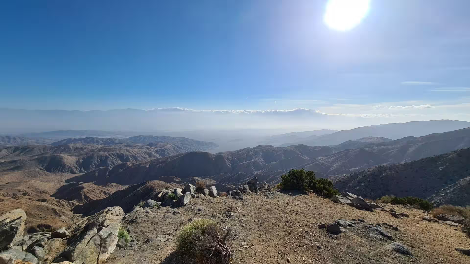
This is the edge of two deserts. The Mojave, the smallest and driest of the North American deserts, occupies the higher ground between roughly 610 and 1,220 metres, while the Colorado Desert, a subregion of the larger Sonoran Desert, begins to the south below 300 metres and reaches its lowest point at 84 metres. The two meet inside Joshua Tree National Park, and the change in vegetation between the higher and the lower ground marks the boundary long before any sign does.
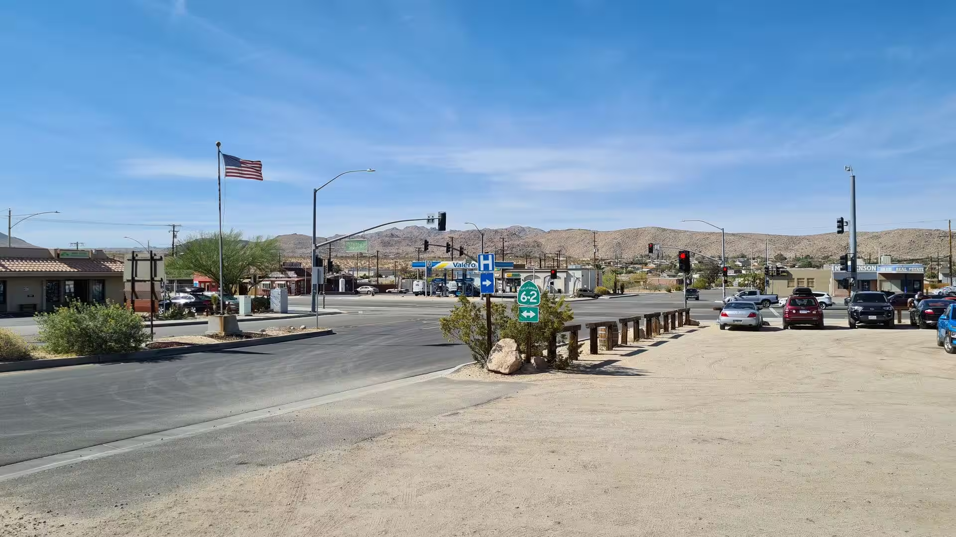
The towns of the region are small and strung along the highway. Twentynine Palms, with 28,065 residents at the 2020 census, is the largest of them and serves as one of the entry points to the national park. Yucca Valley counted 21,738 people, and the community of Joshua Tree, which shares its eastern border with Twentynine Palms and its western border with Yucca Valley, had 6,489 residents. All three lie on or near California State Route 62, the road that carries the traffic between them.
Elevation organises the settlements. Joshua Tree stands at about 2,700 feet, or 820 metres, and Yucca Valley at roughly 3,300 feet, or 1,000 metres, which puts both in the high desert where the winters are cold and the summers less extreme than in the basins below. The business districts are compact, the streets are wide, and the desert begins at the end of the last row of buildings: the national park lies immediately to the south of the communities and is reached from them within minutes.
For the traveller the region is a place of long approaches and sudden arrivals. The distances between the settlements are measured in tens of kilometres, the land between them is empty, and the points of interest, whether a railroad town of the 1880s, the palms of an oasis or the rocks and trees of the park, appear without warning out of the scrub. Fuel, water and food are available in the towns and almost nowhere else, and the heat of the middle of the day shapes every plan.
History
Human occupation of the region goes back far beyond the towns. The Chemehuevi and the Serrano lived in the desert and the surrounding mountains, and the spring that the Chemehuevi called Mar, or Oasis of Mara, was one of the few permanent sources of water in this part of the Mojave. The name of Twentynine Palms comes from that place: Colonel Henry Washington found twenty-nine fan palms growing there, planted according to tradition by the Serrano, and the community that grew up nearby took its name from them in 1927, when a post office was established.
Colonel Washington, a surveyor, made the first recorded exploration of the area in the middle of the nineteenth century, and the desert crossing that followed changed it for good. The wagon trains of the late nineteenth century left their mark on the roads of the region, and one of the streets of Twentynine Palms still carries the name Utah Trail in their memory. A reservation of the Twentynine Palms Band of Mission Indians lies close to the town, and the descendants of the first inhabitants remain part of the life of the valley.
The railroad arrived before the automobile. Amboy was founded in 1883 by Lewis Kingman, a locating engineer for the Atlantic and Pacific Railroad, as the first of a series of stations in the Mojave whose names were chosen alphabetically, and the town grew as a water stop and a shipping point in the middle of the desert. The settlement itself had been there in some form since 1858, but it was the railway that gave it a place on the map.
Route 66 brought the traffic of the twentieth century. The highway, established in 1926 and signed the following year, crossed the Mojave on its way from Chicago to Santa Monica and turned Amboy and its neighbours into service stations, motels and cafes for the stream of migrants and holidaymakers heading west. When the interstates replaced it in the middle of the century, the small towns lost their traffic almost overnight; in Amboy the post office, a historic restaurant and motel and a Route 66 tourist shop were still open in 2020, run by a population of four, and by 2024 only the filling station was left and the population had fallen to zero.
The last chapter belongs to preservation. The Mojave National Preserve was established in 1994 between Interstate 15 and Interstate 40 and covers 1,542,776 acres, or about 6,243 square kilometres, which makes it the third largest unit of the national park system in the contiguous United States and the largest national preserve in the country. Its dunes, lava beds and mountains protect a stretch of the desert that the railroads and the highways had crossed but never settled, and the old stations along Route 66 now receive visitors in place of passengers.
Geology
The Mojave is a desert of altitude as much as of latitude. It lies in the rain shadow of the southern Sierra Nevada and the Transverse Ranges, which take the moisture out of the air before it reaches the interior, and most of its surface stands between 610 and 1,220 metres above sea level. That height is the reason for its name of high desert and for its cold winters, and it separates it from the hotter and lower deserts to the south and east.
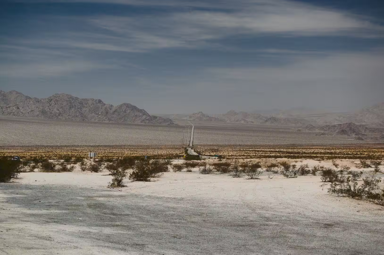
Its topography follows the basin and range pattern, a series of parallel mountain chains and flat valleys that runs roughly north to south across the whole region. The ranges are faulted blocks of old rock, and the basins between them are filled with the debris of erosion: gravel, sand and clay washed down from the slopes and spread out in alluvial fans. Where there is no outlet for the water, dry lakes and salt flats form instead.
The Colorado Desert begins where the land falls away towards the Salton Trough and the Gulf of California. It covers about seven million acres, or 28,000 square kilometres, including the irrigated Coachella, Imperial and Mexicali valleys, and most of it lies below 300 metres, with a floor that reaches 84 metres at its lowest point. The change from the high desert to this lower and hotter country is one of the sharpest transitions of the American south west, and it takes place within the boundaries of Joshua Tree National Park.
The mountains of the preserve show how varied the geology of the region is. The Kelso Dunes have formed where wind-blown sand has collected against a mountain range, the Cima Dome is a broad and unusually smooth rise of volcanic rock, and the Hole-in-the-Wall and Cinder Cone areas expose lava flows and cinder deposits from eruptions that are young by geological standards. The Providence Mountains, with their caverns, belong to the same broken country of limestone and granite.
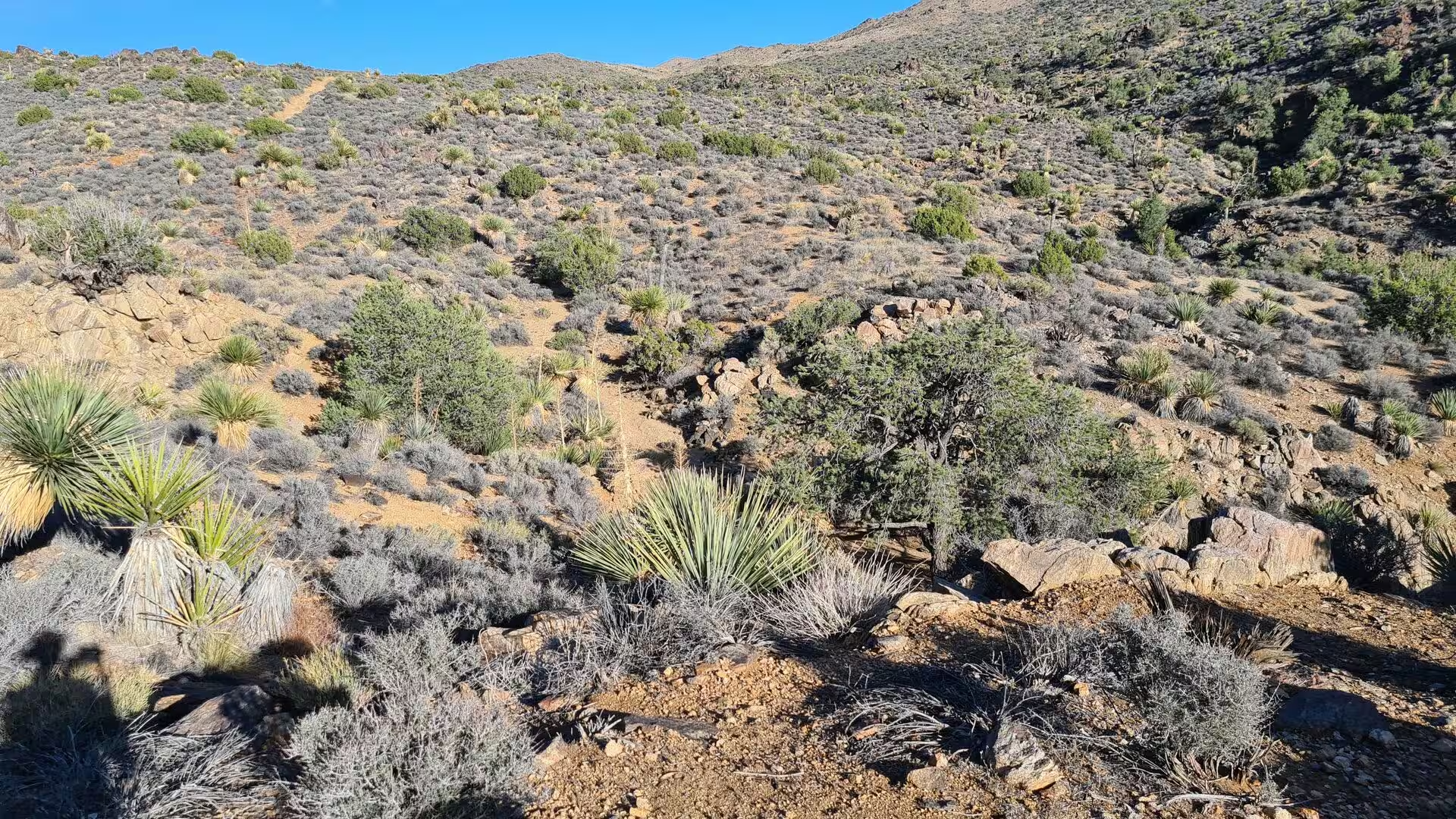
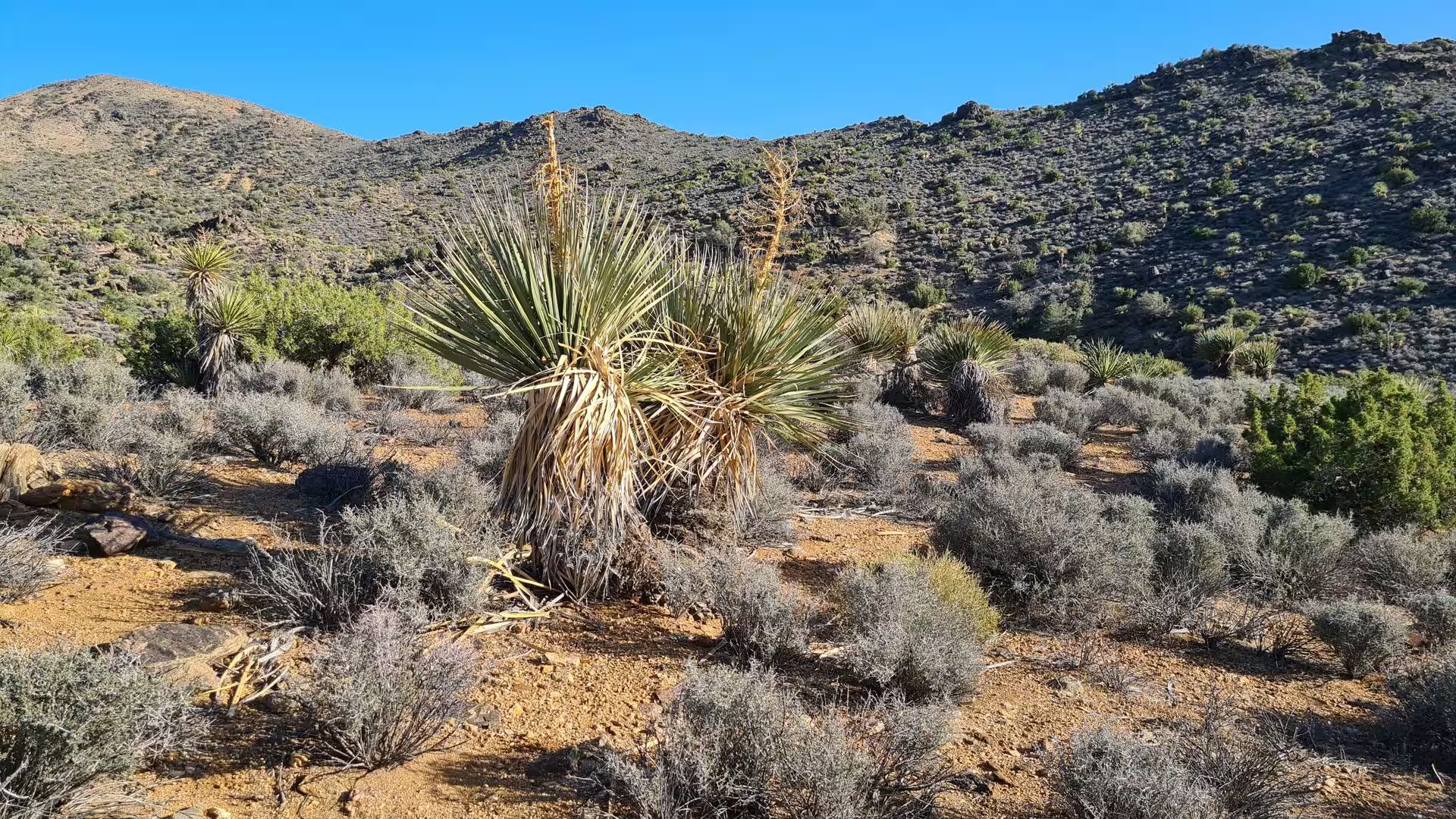
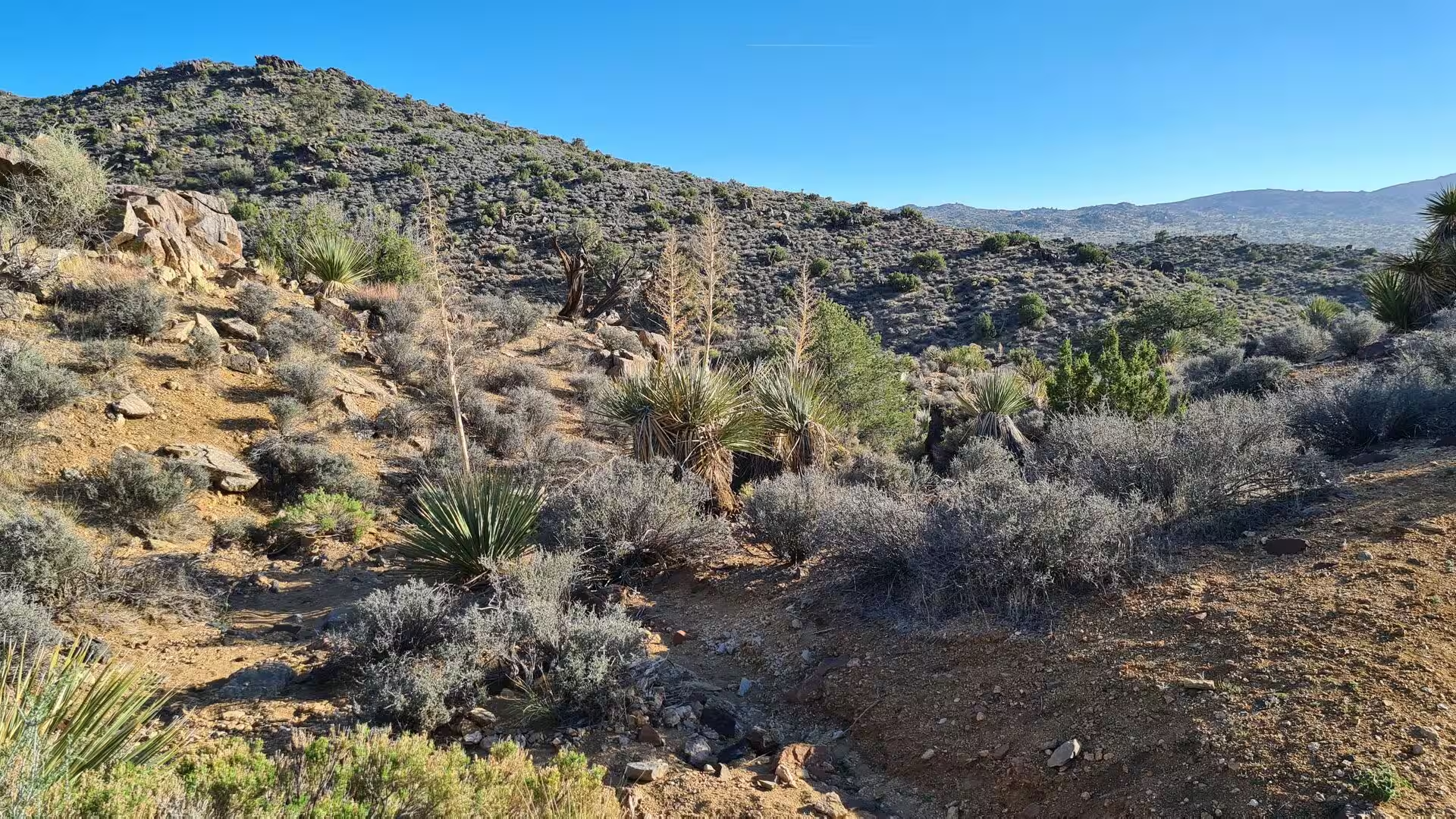
Water shapes the desert even where it is absent for most of the year. Rain arrives in a few violent storms, the dry washes fill within minutes and carry boulders and mud down the fans, and the finer material is sorted out by the wind and left as the closely packed stone surfaces known as desert pavement. Creosote bush, yucca and the Joshua tree grow where the soil and the elevation suit them, and the vegetation of the Mojave has been described in the botanical literature as a community of its own, distinct from the deserts on either side.
Things to See
Amboy is the clearest monument of the old road. The town lies west of Needles and east of Ludlow on historic Route 66, about 97 kilometres north east of Twentynine Palms, and its business district still consists of a handful of buildings from the middle of the last century: a post office, a restaurant and motel with a tall sign, and a shop that sold souvenirs of the highway. The gas station that remained open into the 2020s is the last service for many kilometres in any direction, and the emptiness around the buildings is the point of the place.
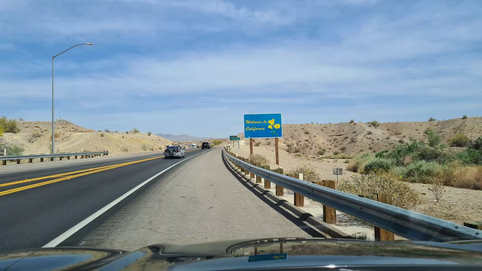
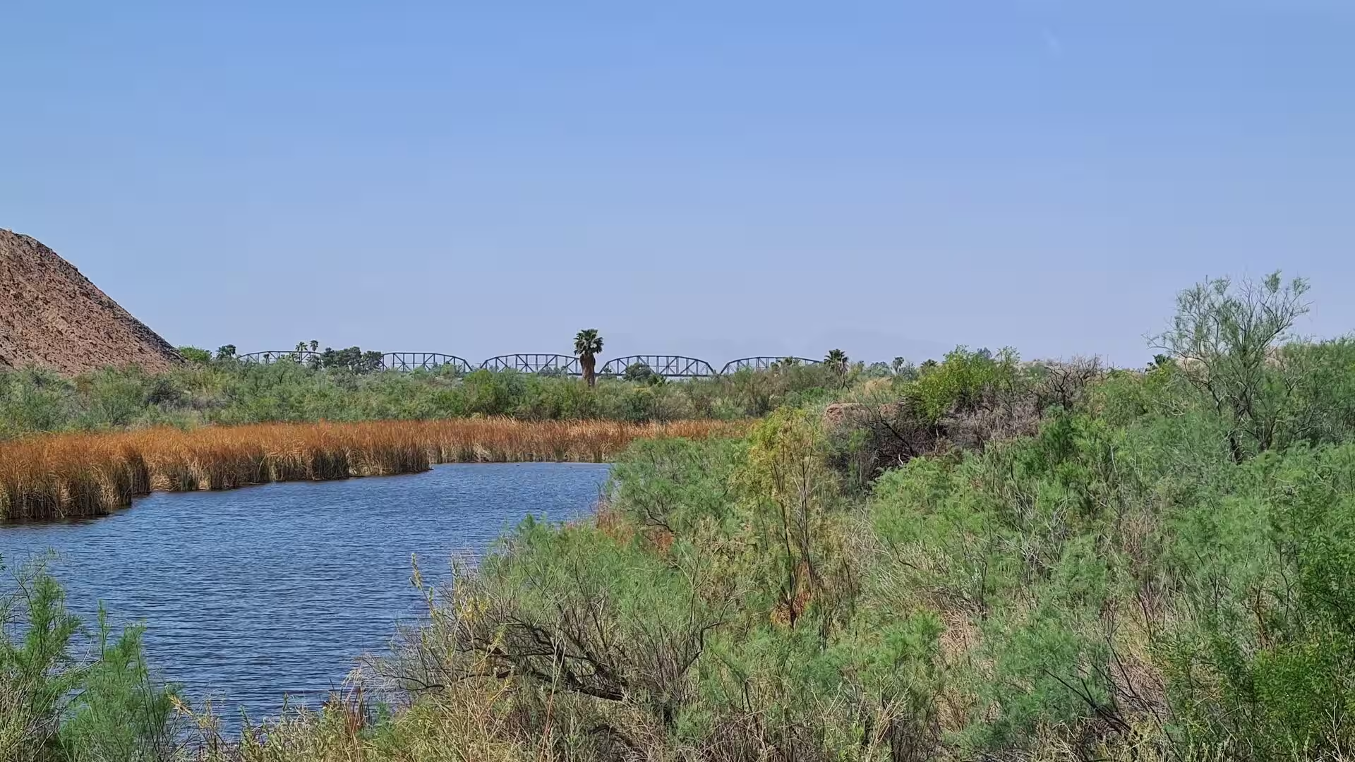
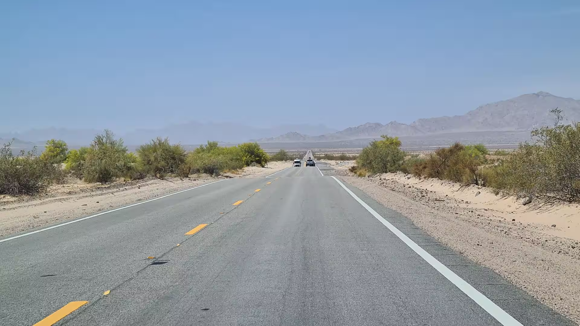
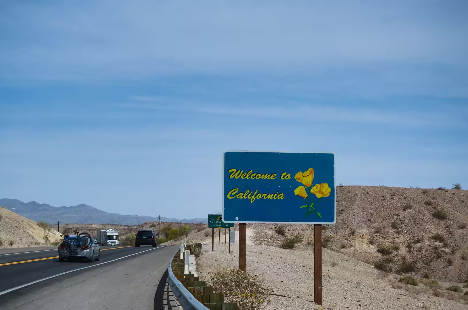
The state line at the Colorado River is the other landmark of the crossing. Interstate 40 passes Needles and crosses the water into Arizona near Topock, and the welcome sign on the California side stands beside a highway that runs dead straight towards the mountains. The river itself is the boundary and the only large body of water for a hundred kilometres, and the towns on its banks owe their existence to the crossing.
Twentynine Palms is the natural base for the national park. The Oasis of Mara, with its row of fan palms, stands at the northern entrance, where the visitor centre explains the two deserts that meet inside the park, and the town stretches along the highway with the desert on both sides. The palm trees that gave the place its name are still the first thing a visitor sees, and the spring they grow around is still the reason the site was chosen.
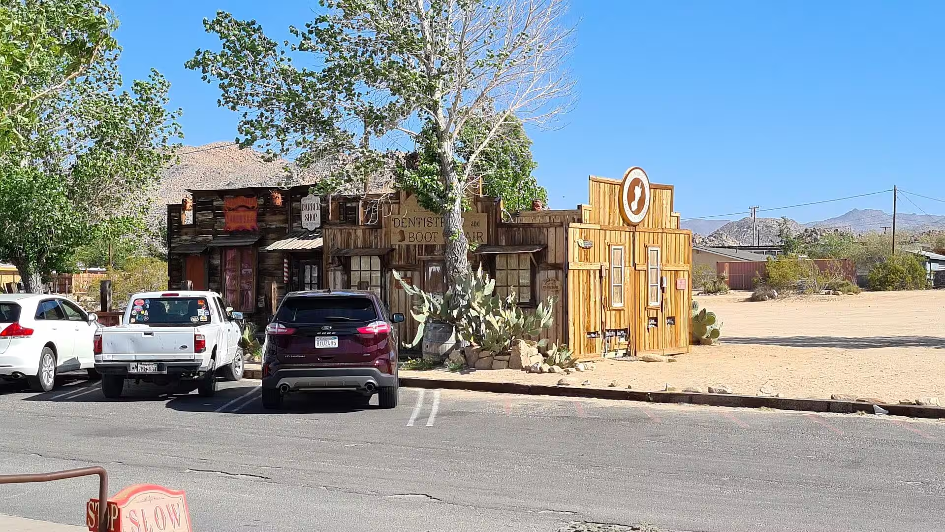
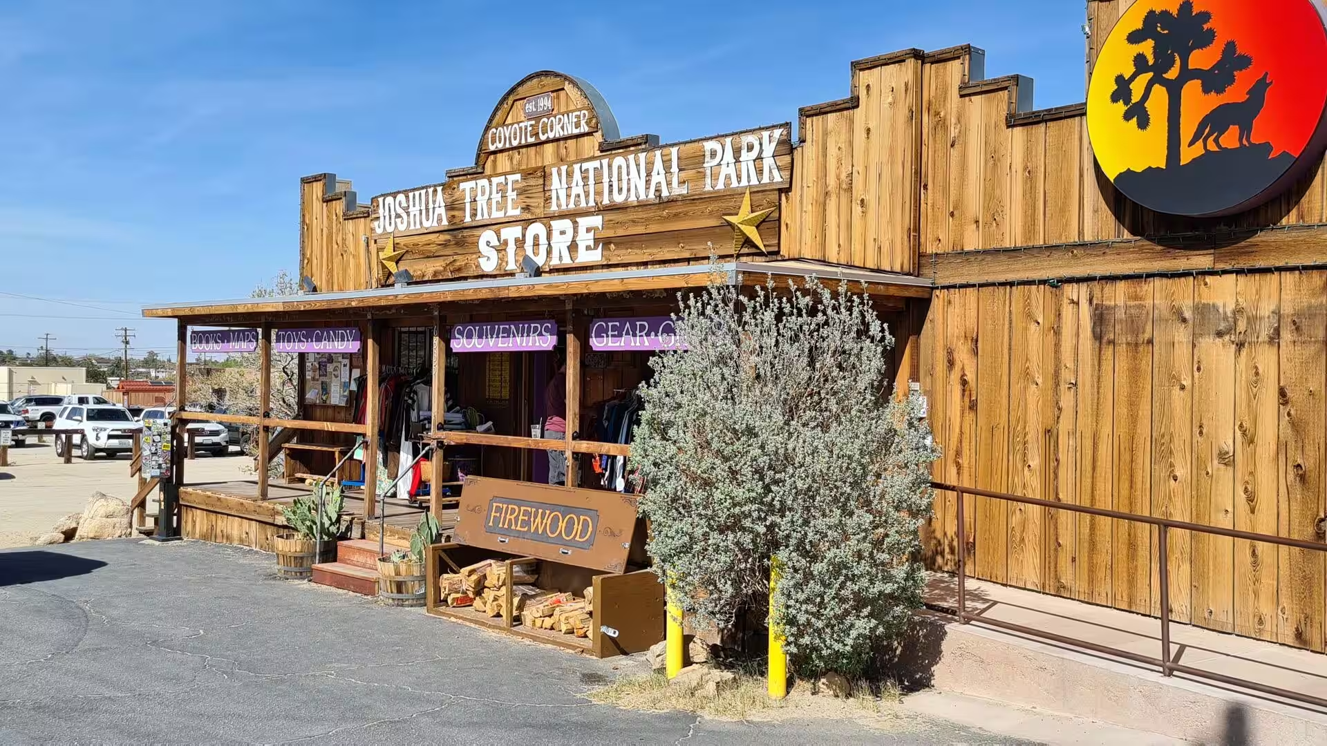
The community of Joshua Tree has grown around its business district on State Route 62. The shops, galleries and cafes serve both the residents and the visitors to the park, and the older storefronts carry the painted signs and the shallow roofs of the mid twentieth century. The town is small enough to walk, and the park entrance lies a few minutes away by car.
Yucca Valley is the largest of the communities at the western end of the corridor, at about 1,000 metres of altitude and twenty miles north of Palm Springs. It grew quickly in the 1950s, when land in the area was bought up and the main roads were laid out with the intention of offering privacy to people from the entertainment industry, and it has kept the character of a desert town with a wide main street. Shops, restaurants and motels are concentrated along the highway, with the national park immediately to the south.
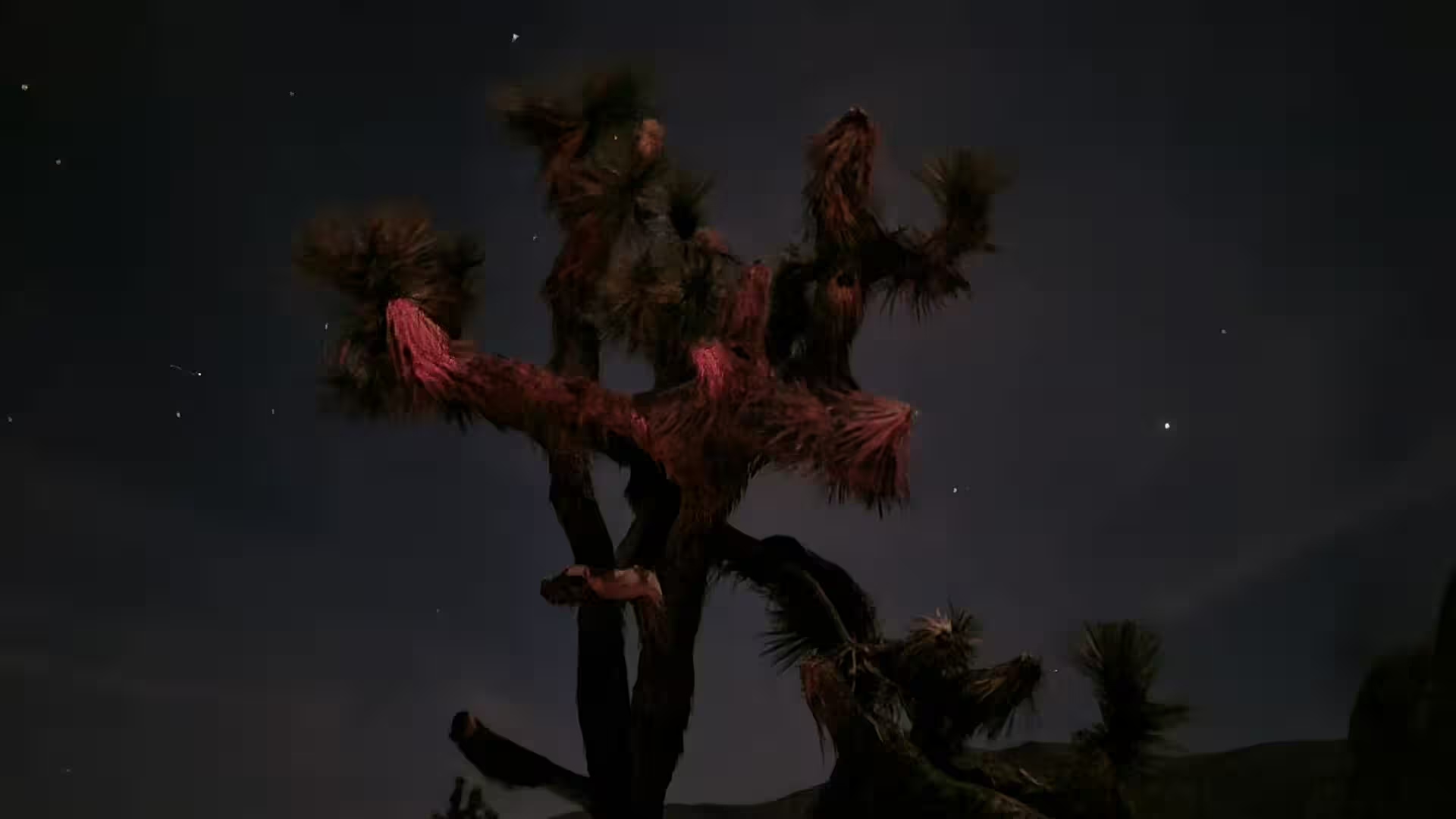
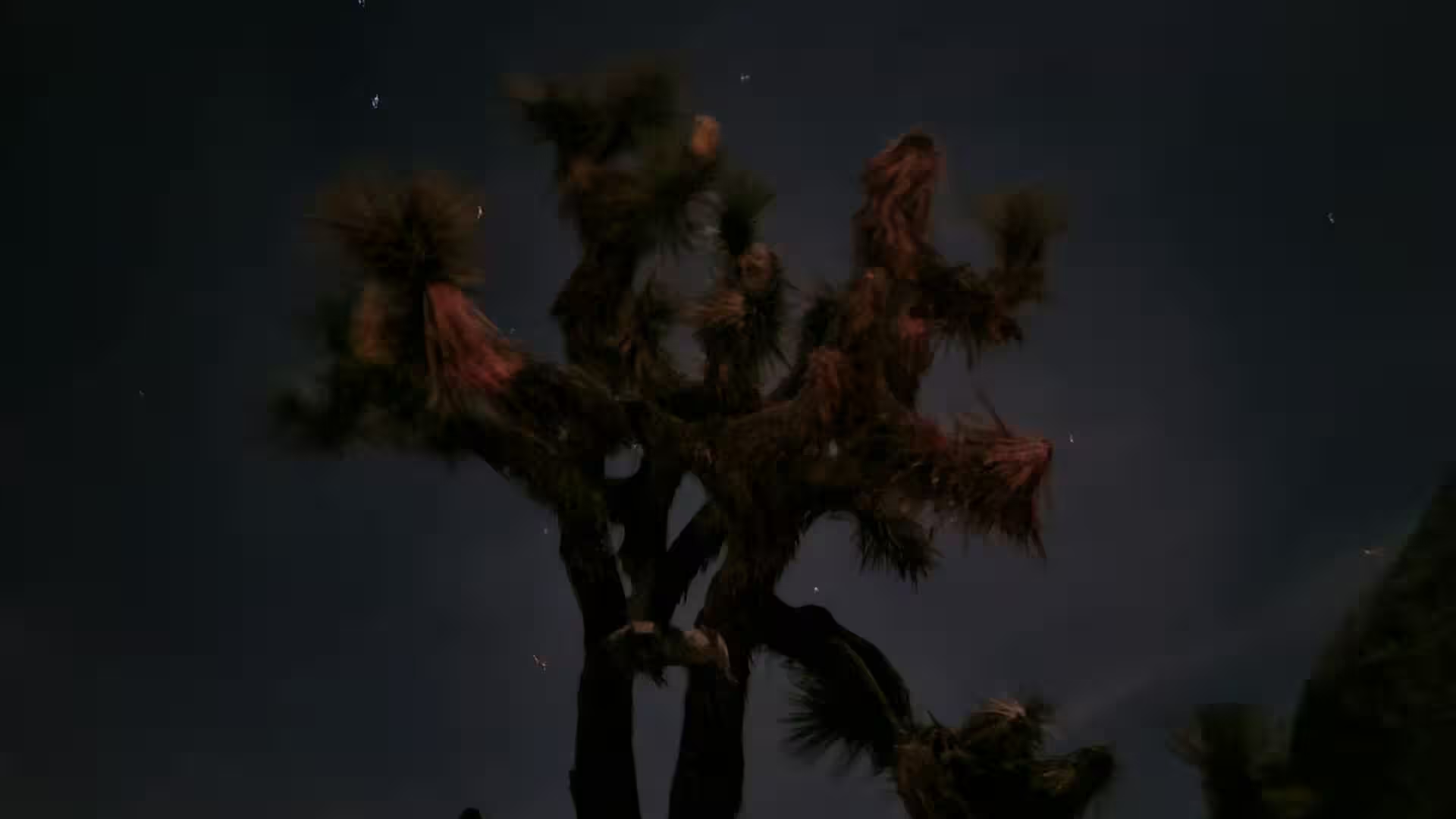
Joshua Tree National Park is the reason most travellers come this way. The park protects the meeting place of the Mojave and the Colorado deserts, with the Joshua trees of the higher ground giving way to the creosote and ocotillo of the lower country, and with granite formations that have been weathered into rounded piles and arches. The distances inside the park are long, the roads are few, and the night sky above it is one of the darkest in southern California.
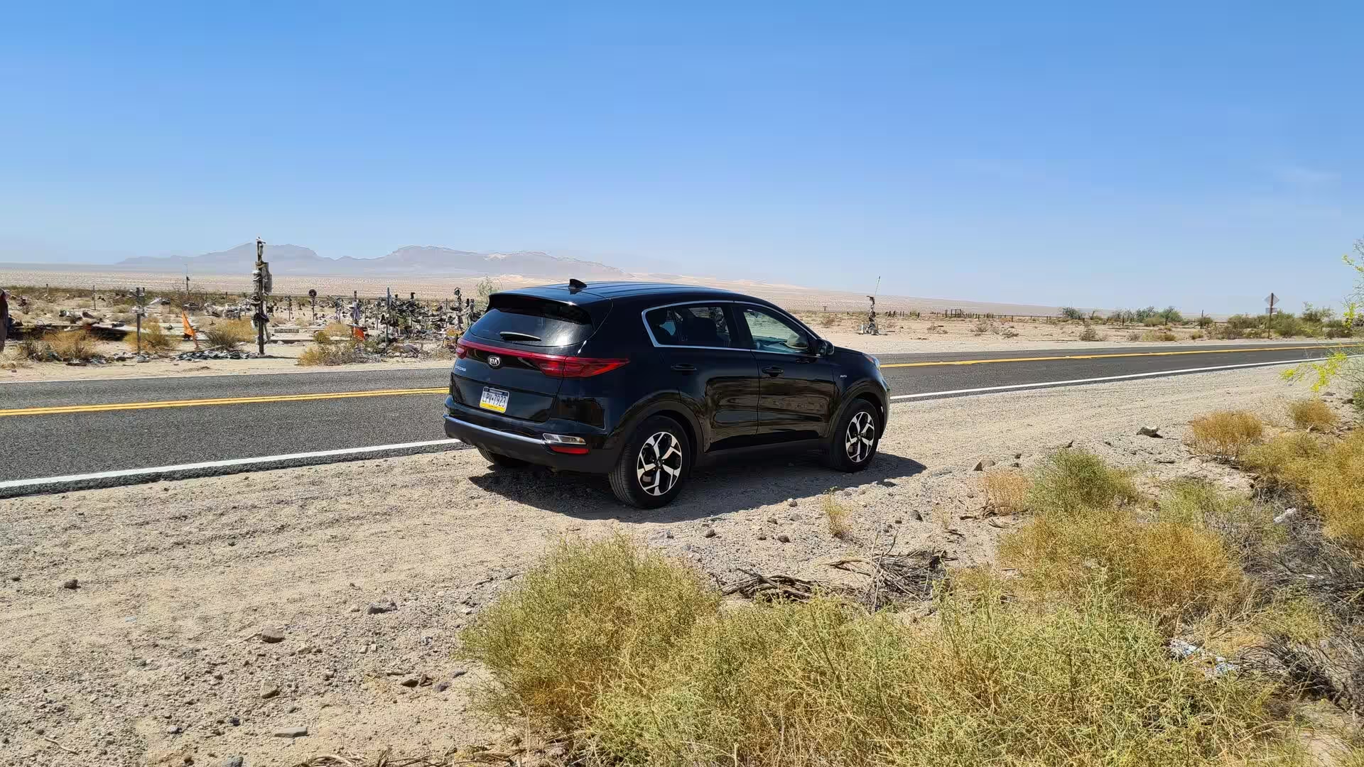
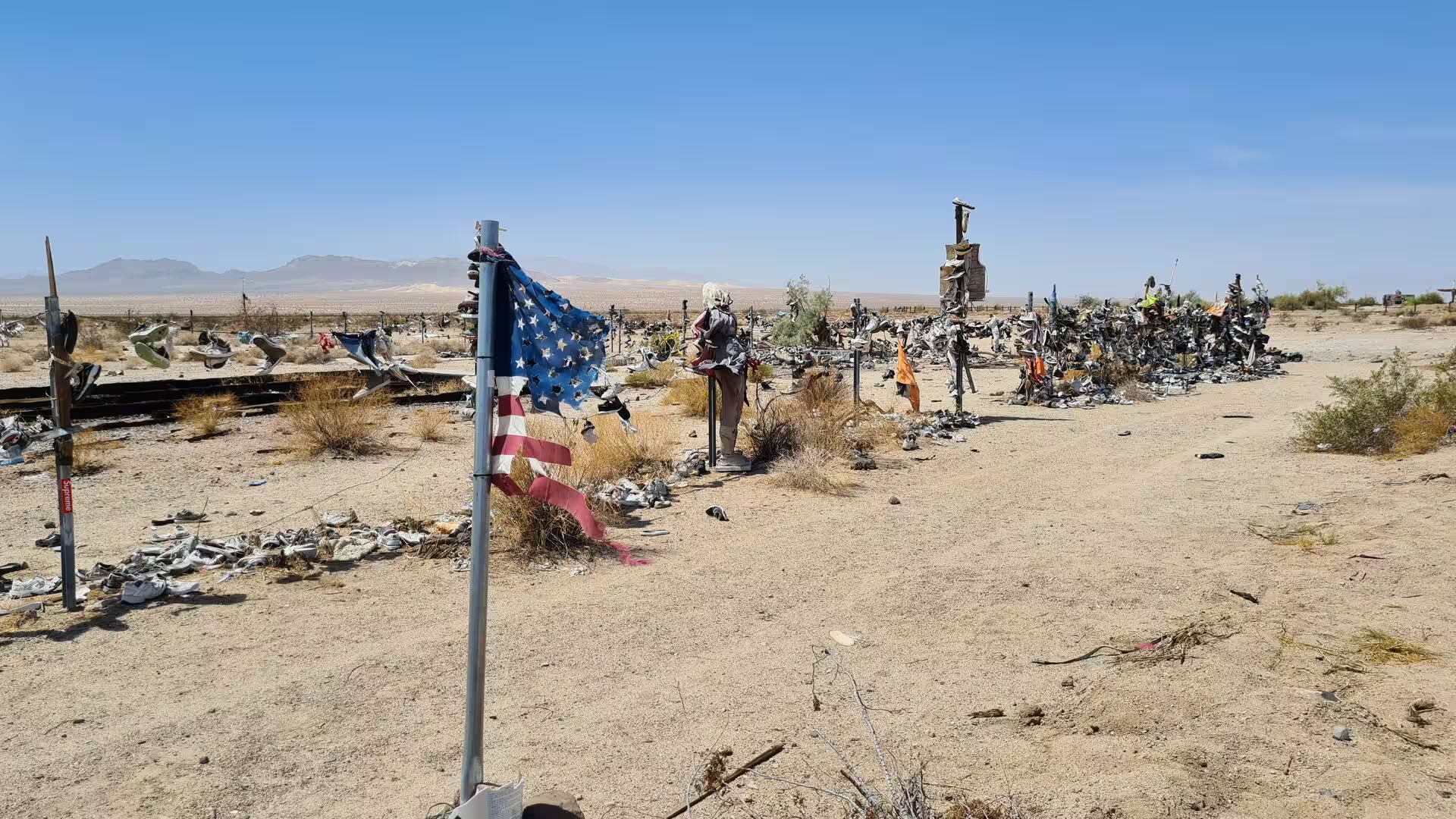
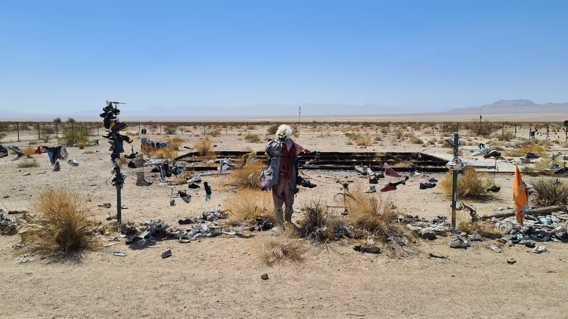
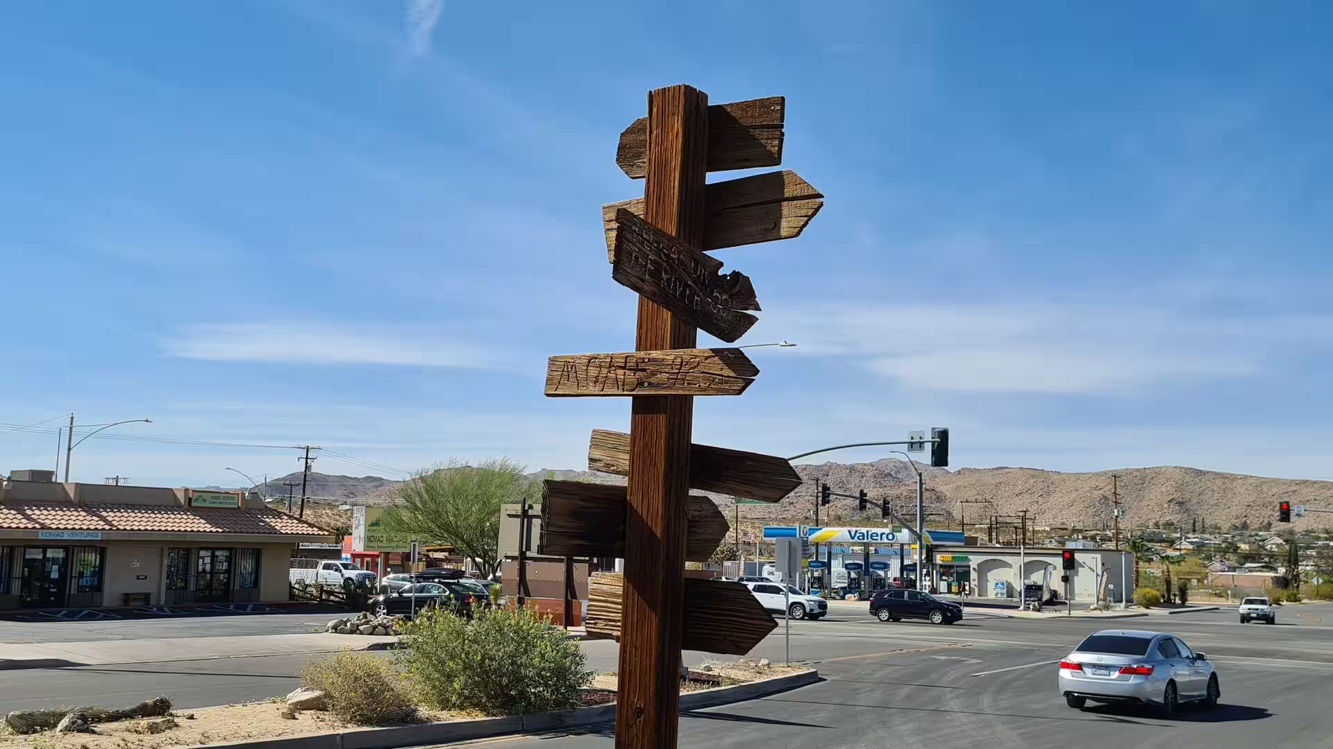
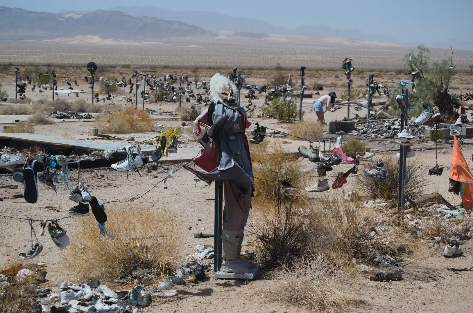
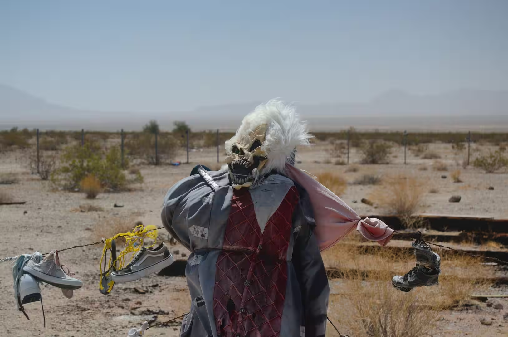
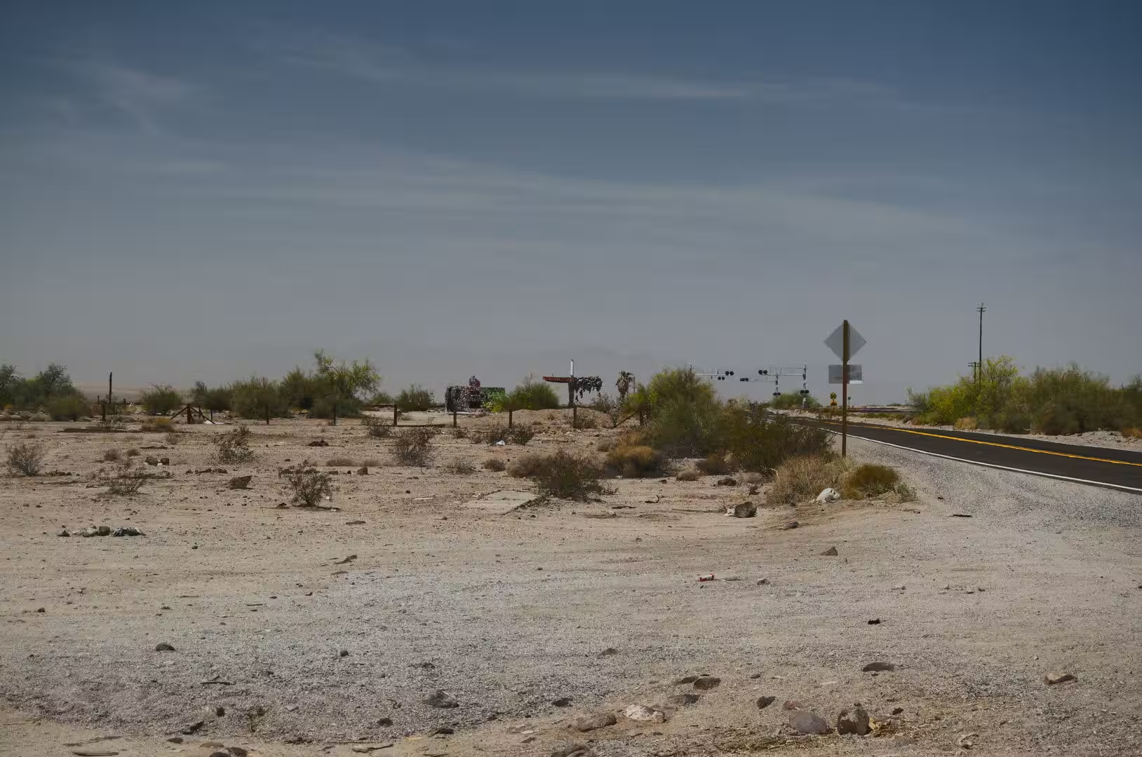
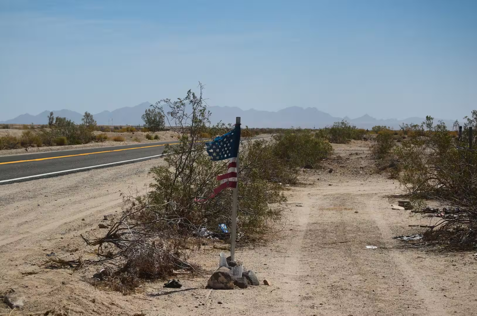
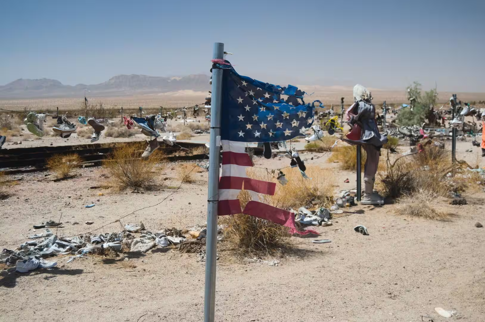
The roadside monuments of the desert road are a part of the landscape that no guidebook plans for. At several places along the highway travellers have built shrines and memorials out of what they carried with them, with crosses, flags and objects left hanging on posts, and these places have become destinations in their own right, visited and added to by the people who pass. They stand for the ordinary traffic of the road rather than for any single event.
The practical advice for the crossing is simple and serious. Water and fuel should be carried for more than the distance planned, because the gaps between the towns are long and the heat between May and September is dangerous at any hour of the afternoon, and the cold of the high desert nights is just as real in winter. From the corridor the road continues south to the Coachella Valley and Palm Springs, and west across the desert to Barstow and the roads into the Sierra Nevada.
References
- Wikipedia contributors (2026). Mojave Desert. en.wikipedia.org/wiki/Mojave_Desert
- Wikipedia contributors (2026). U.S. Route 66. en.wikipedia.org/wiki/U.S._Route_66
- Wikipedia contributors (2026). Joshua Tree, California. en.wikipedia.org/wiki/Joshua_Tree%2C_California
- Wikipedia contributors (2026). Yucca Valley, California. en.wikipedia.org/wiki/Yucca_Valley%2C_California
- Wikipedia contributors (2026). Amboy, California. en.wikipedia.org/wiki/Amboy%2C_California
- Wikipedia contributors (2026). Twentynine Palms, California. en.wikipedia.org/wiki/Twentynine_Palms%2C_California
- Wikipedia contributors (2026). Joshua tree. en.wikipedia.org/wiki/Joshua_tree
- Wikipedia contributors (2026). California. en.wikipedia.org/wiki/California
- Wikipedia contributors (2026). Arizona. en.wikipedia.org/wiki/Arizona
- Wikipedia contributors (2026). Interstate 40 in California. en.wikipedia.org/wiki/Interstate_40_in_California
- Wikipedia contributors (2026). Colorado Desert. en.wikipedia.org/wiki/Colorado_Desert
- Wikipedia contributors (2026). Mojave people. en.wikipedia.org/wiki/Mojave_people
- Wikipedia contributors (2026). Needles, California. en.wikipedia.org/wiki/Needles%2C_California
- Wikipedia contributors (2026). San Bernardino County, California. en.wikipedia.org/wiki/San_Bernardino_County%2C_California
- Wikipedia contributors (2026). Mojave National Preserve. en.wikipedia.org/wiki/Mojave_National_Preserve
- Wikipedia contributors (2026). Joshua Tree National Park. en.wikipedia.org/wiki/Joshua_Tree_National_Park
- Keeler-Wolf T. (2007) Mojave Desert Scrub Vegetation. Terrestrial Vegetation of California, 3rd Edition. 609-656. doi.org/10.1525/california/9780520249554.003.0022
- Wood Y., Graham R., Wells S. (2005) Surface control of desert pavement pedologic process and landscape function, Cima Volcanic field, Mojave Desert, California. CATENA. 59. 205-230. doi.org/10.1016/j.catena.2004.06.001
- Wells S.G. (2020) Geomorphic Controls of Alluvial Fan Deposition in the Sonoran Desert, Southwestern Arizona. Geomorphology in Arid Regions. 27-50. doi.org/10.4324/9780429299230-2