Australia 2022 - November - Cronulla




Journal Notes
General
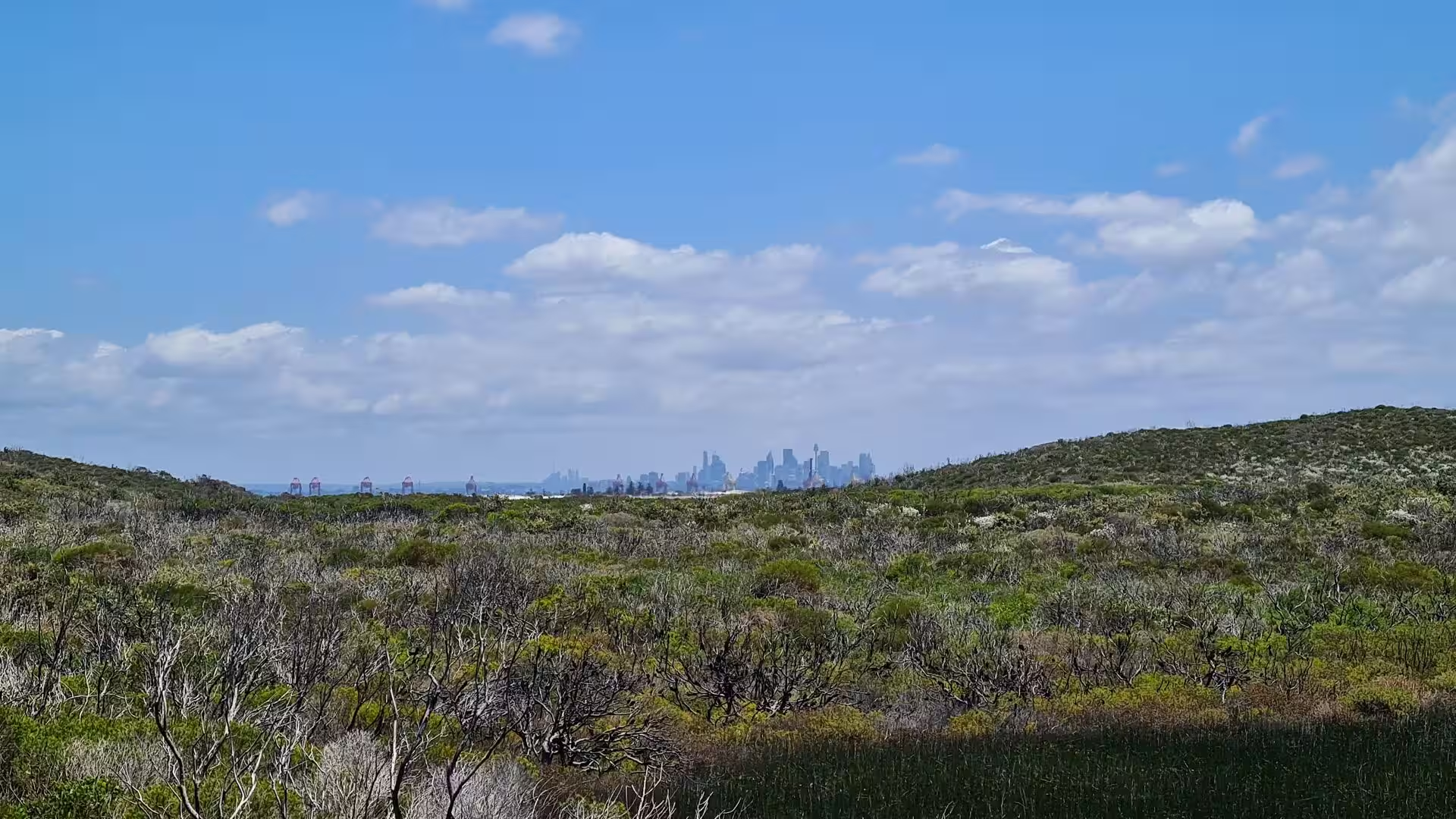
Cronulla is a coastal suburb of southern Sydney, about 26 kilometres south of the central business district, in the local government area of the Sutherland Shire. The suburb stands on a peninsula framed by Botany Bay to the north, Bate Bay and the open Pacific to the east, Port Hacking to the south and Gunnamatta Bay to the west. Its neighbours are Woolooware and Burraneer, and the Kurnell peninsula, the site of James Cook’s first landfall on the eastern coast in 1770, lies north east across the bay at the end of Captain Cook Drive. In the 2021 census Cronulla had 17,899 residents.
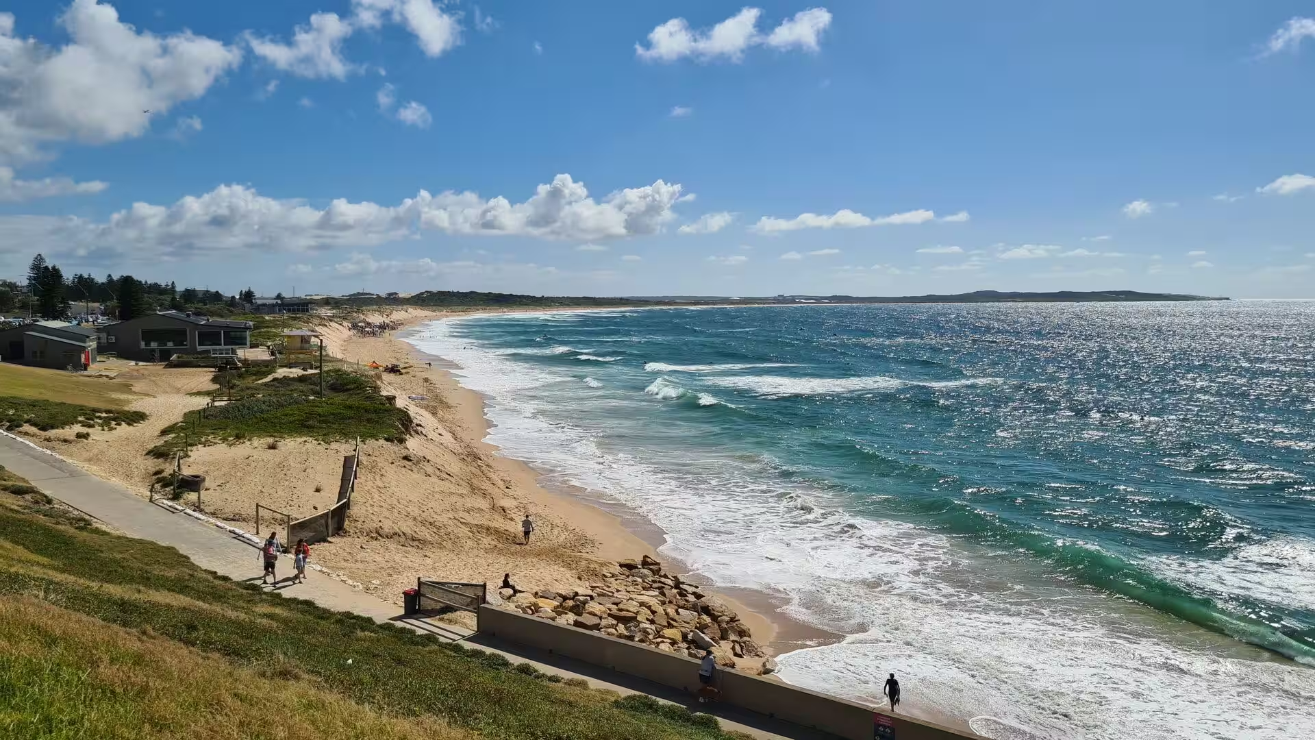
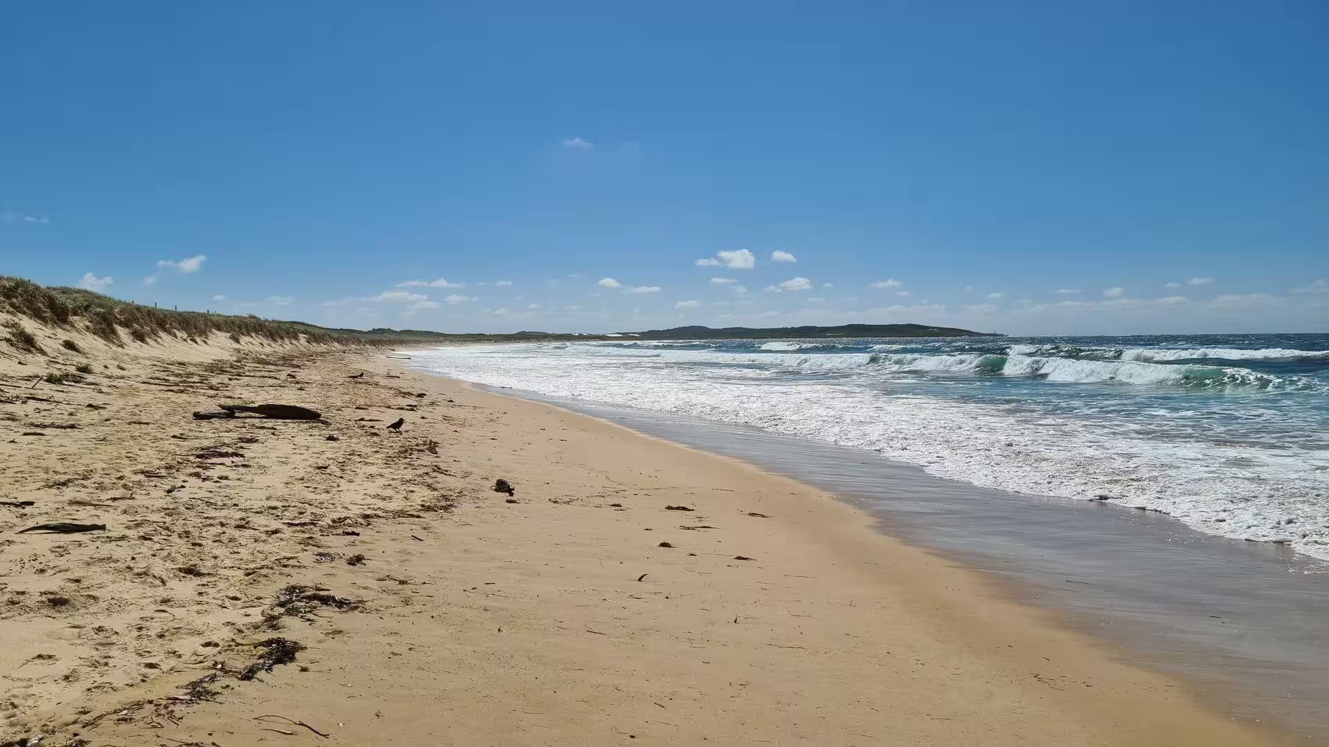
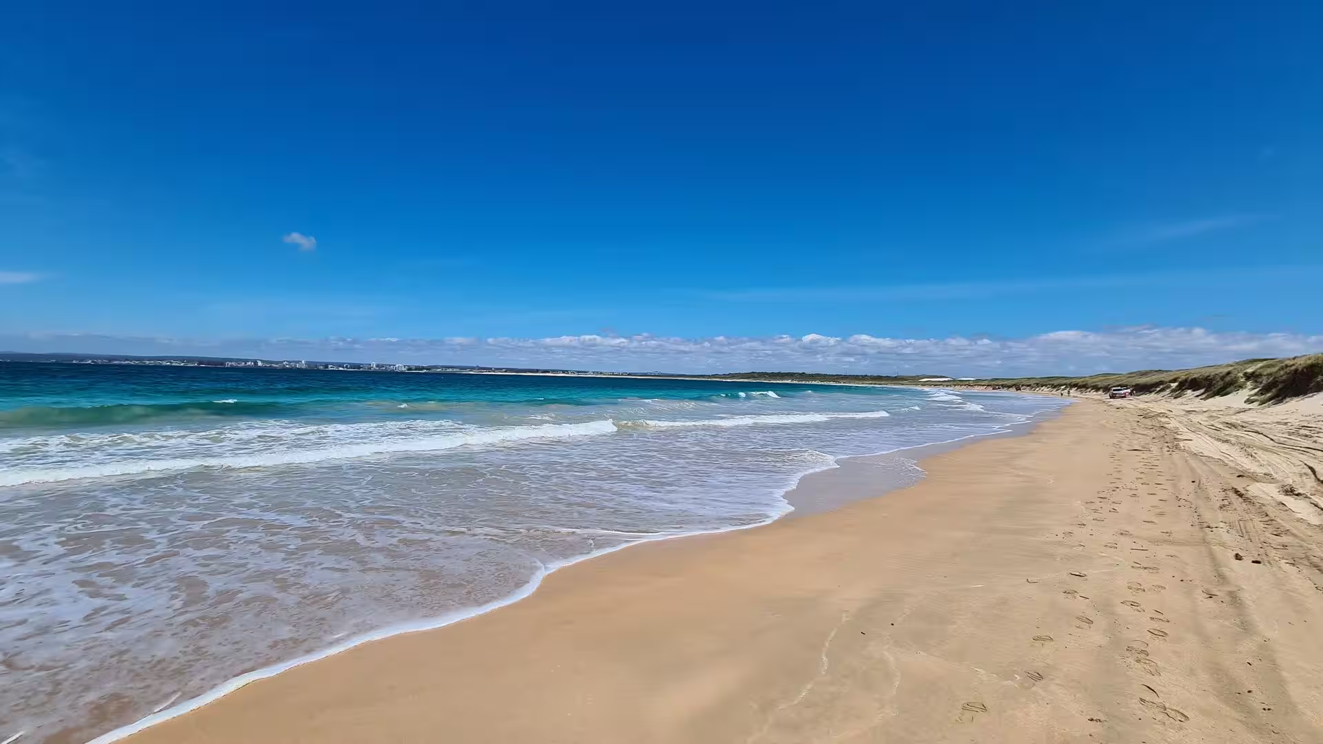
Beaches run almost without interruption along the eastern side of the peninsula. From north to south they are Boat Harbour, Greenhills Beach, Wanda Beach, Elouera Beach, North Cronulla Beach, Cronulla Beach, Blackwoods Beach, Shelly Beach and Oak Park Beach. Local names mark smaller features within them, such as The Alley between Cronulla and North Cronulla, The Wall between North Cronulla and Elouera and Midway between Elouera and Wanda. Shark Island, just offshore from Cronulla Beach, is a well known surfing and bodyboarding spot.
Cronulla is the only beach suburb of Sydney with a direct suburban train service from the centre of the city. The railway branch from Sutherland opened in 1939 and trains now terminate at Cronulla station on the Sydney Trains network, while steam trams had run between Sutherland and the beach from 1911 until the branch replaced them. A passenger ferry crosses Port Hacking from the wharf on Gunnamatta Bay beside Tonkin Park to Bundeena on the edge of the Royal National Park, a trip of twenty to thirty minutes. Several bus routes also call at the station.
The commercial centre of the suburb runs along Cronulla Street, part of which has been turned into a pedestrian mall known as Cronulla Plaza, and continues along the Kingsway and Gerrale Street. Cafés and restaurants cluster along the North Cronulla foreshore and around the plaza, and a high rise hotel, a cinema that opened in 2020, hotels, motels and serviced apartments serve visitors. Residential Cronulla is dense for a beach suburb: of the occupied private dwellings counted in 2021, 72.5 per cent were flats or apartments, 20.5 per cent separate houses and 6.1 per cent semi detached.
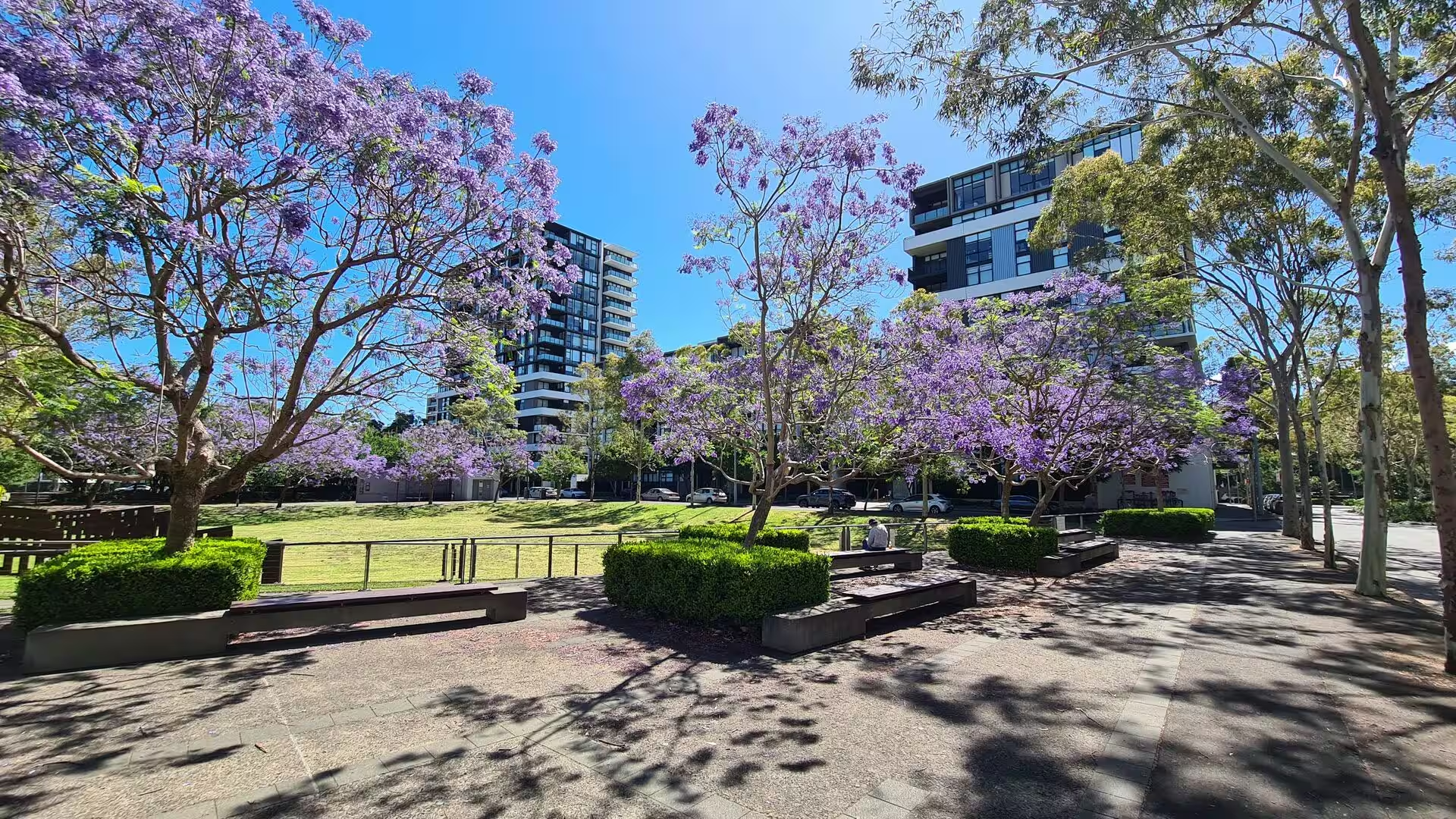
Green space is spread along the water in a chain of small parks. Bass and Flinders Point, the southern tip of the suburb, carries a monument to the explorers and looks out over the entrance of Port Hacking. Darook Park, Gunnamatta Park and Tonkin Park stand on Gunnamatta Bay, Cronulla Park lies behind the beach at South Cronulla, and Dunningham Park behind North Cronulla is shaded by large Norfolk Island pines and holds a playground, picnic tables and a kiosk. Monro Park with its war memorial faces the railway station, and Hungry Point Reserve ends Nicholson Parade.
History
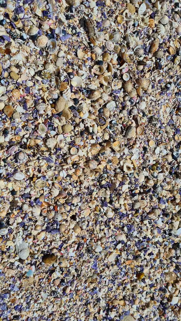
The name of the suburb comes from the Aboriginal word Kurranulla, meaning place of the small pink seashell, in the language of the Gweagal, a clan of the Dharawal people who lived along the southern shores of Sydney. The beaches were named by the surveyor Robert Dixon, who worked here in 1827 and 1828, and the main beach was still recorded as Karranulla in 1840. In July 1852 the schooner Venus was wrecked on the sand and newspaper reports of the loss called the place Cooranulla. The traditional owners left middens, carvings and ceremonial sites across the peninsula.
European mapping of the area began with Matthew Flinders and George Bass, who explored and charted the coastline and the Port Hacking estuary in 1796, and the southernmost point of Cronulla is named Bass and Flinders Point in their honour. Land grants followed slowly. John Connell received 380 acres in 1835, and in the 1860s most of the ground from Sutherland down to Cronulla belonged to Thomas Holt, whose estate covered a large part of what is now the Shire. The district remained almost empty until the 1880s, when a resident population finally appeared on the beach side of the peninsula.
In 1888 the master mariner Captain Joseph Henry Rounce Spingall became the first resident of Cronulla, building the two storey Oriental Guest House above the site of today’s North Cronulla Hotel with his family. The depression of 1890 and the poor road and rail access from Sutherland made the venture fail, and the hotel was sold. The area was subdivided in 1895 and land was offered at ten pounds an acre. In 1899 the government named the district Gunnamatta, meaning sandy hills, but on 26 February 1908 the name was officially changed to Cronulla and Gunnamatta was kept for the bay on the western side.
The railway to Sutherland arrived in 1885 and the coast became a picnic and swimming destination for the city. Steam trams ran from Sutherland to Cronulla from 1911, and holiday makers rented the same beach houses every year for the school holidays. The Oriental Hotel had been built in 1888, the Cecil Hotel stood on the foreshore at South Cronulla, and the Ritz Café served the visitors. The Cronulla School of Arts opened in 1904 and its present building dates from 1912, the first public school opened in 1910 and the library in 1955. The Cronulla branch of the Illawarra line opened in 1939, replacing the trams.
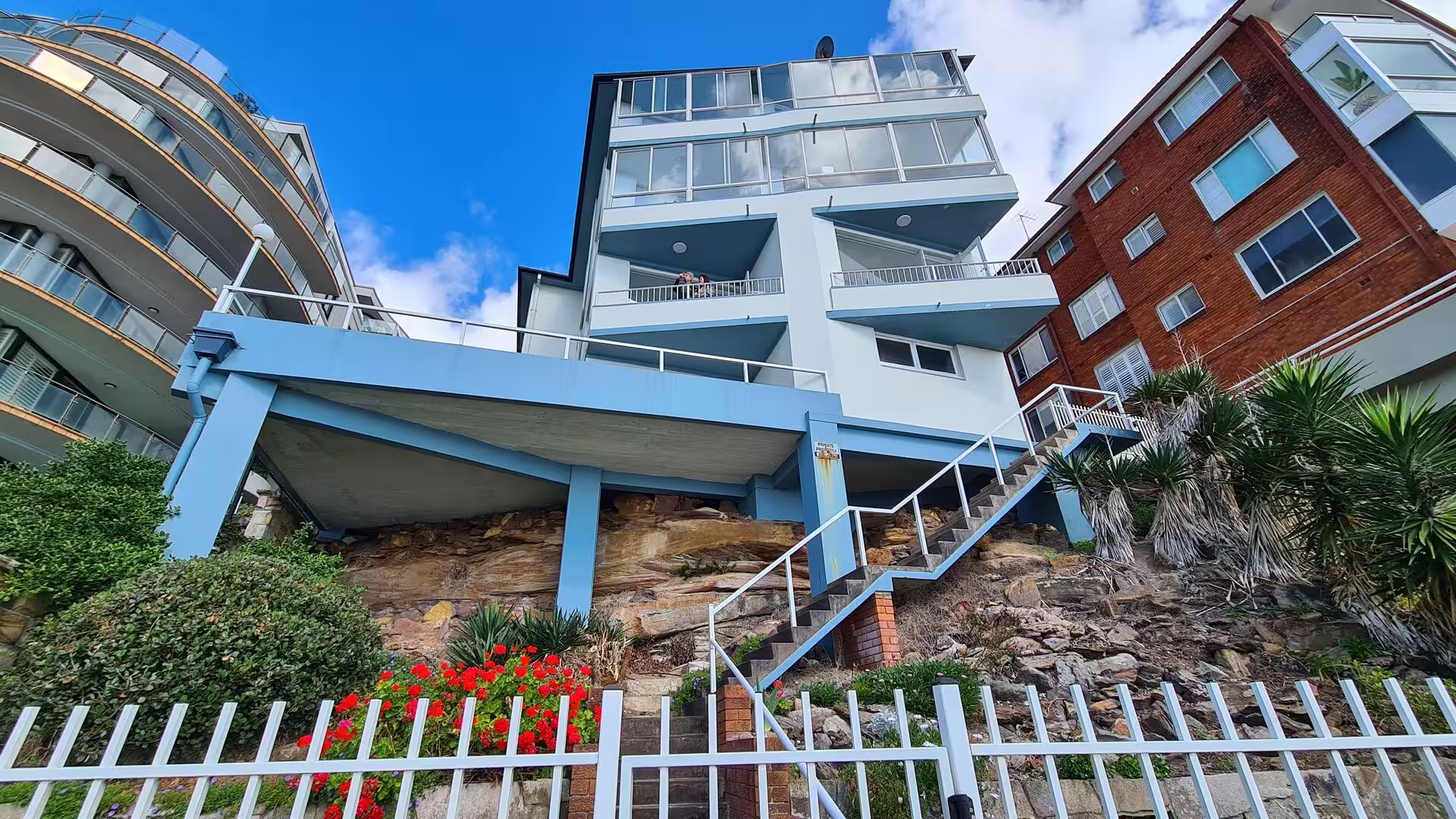
From the 1950s many of the old guest houses were replaced by blocks of flats, and the suburb grew into the residential and recreational centre it is today, with hotels, motels and serviced apartments for visitors. The Cronulla Bicentennial Plaza opened in February 1989. In December 2005 the Cronulla beaches were the scene of widely reported mob disturbances and violent confrontations that continued for several days and spread to other parts of Sydney. Cronulla also has several heritage listed sites, among them the sand dunes on Captain Cook Drive, the School of Arts of 1912 and the railway station.
Geology
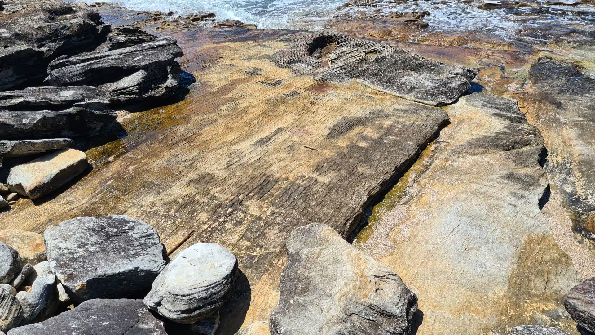
Cronulla stands on the rocks of the Sydney Basin, the sedimentary basin of Permian to Middle Triassic age that underlies the whole of the Sydney region. The headlands, cliffs and rock platforms of the suburb are cut in the Hawkesbury Sandstone, a durable sandstone of Middle Triassic age deposited by a braided river system and exposed along much of the coast near Sydney. In a few places the sandstone is covered by younger, finer sedimentary rock, and the rough barked apple gums in Gunnamatta Park grow on shale derived soil that is rare in the Sutherland Shire.
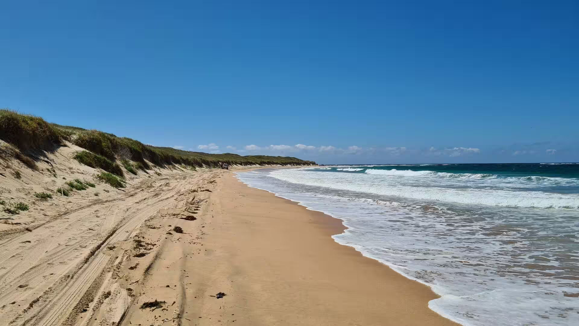
The dune fields on the Kurnell peninsula and behind Wanda Beach are much younger than the bedrock. The sand dune system, also called the Cronulla sand dunes, is estimated to be about 15,000 years old and was formed when the sea reached its present level and the shoreline began to stabilise between about 9000 and 6000 BC. The Georges and Cooks rivers once flowed south east beneath the present dunes near Wanda and met the ocean at Bate Bay, which made Kurnell an island; as the sea rose and the sand accumulated the old river mouths were blocked and the rivers were pushed out to sea near La Perouse instead.
Sand has been moved and removed on the peninsula on an industrial scale. The dune system once covered about 400 hectares and stood some 40 metres above and 90 metres below sea level. Clearing of the timber and grazing by cattle removed the grass that held the sand, and the bare dunes began to move north at about eight metres a year. From the 1930s the Holt family sold sand for the Sydney building market, where its high crushed shell content made it valuable, and extraction continued until 1990 with an estimated 70 million tonnes taken from the dunes.
The rock platforms between the beaches carry tide pools, shallow basins of seawater that are flooded at high tide and left standing as the water recedes. Inhabitants have to survive changing water levels, temperature, salinity and oxygen content, and the pools are divided into high, mid and low zones, each with its own animals. Snails, barnacles, mussels, anemones, urchins, sea stars, crabs and small fish live in them, and the low zone holds the greatest variety of seaweeds. Some pools have been enlarged artificially to allow safer swimming in seawater without surf or sharks.
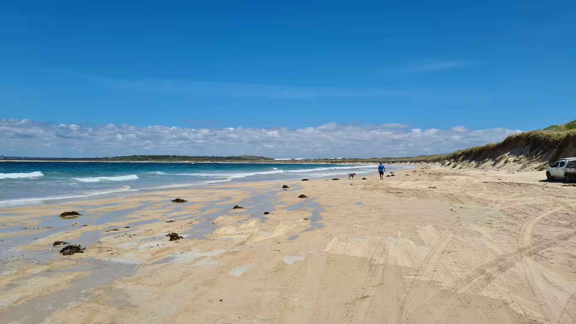
Wave action continues to shape the shoreline. The sea cuts at the sandstone headlands, sand moves along the beaches, and the shape and size of the sand at Cronulla and Wanda change from season to season. The removal of sand has weakened the peninsula’s ability to resist storms; waves driven against the reduced dune system threatened to break through into Botany Bay during the storms of May and June 1974 and of August 1998. Port Hacking itself is a drowned river valley with a water surface of about 11 square kilometres and extremely good water quality, and its intertidal shoals are used by wading birds.
Things to See
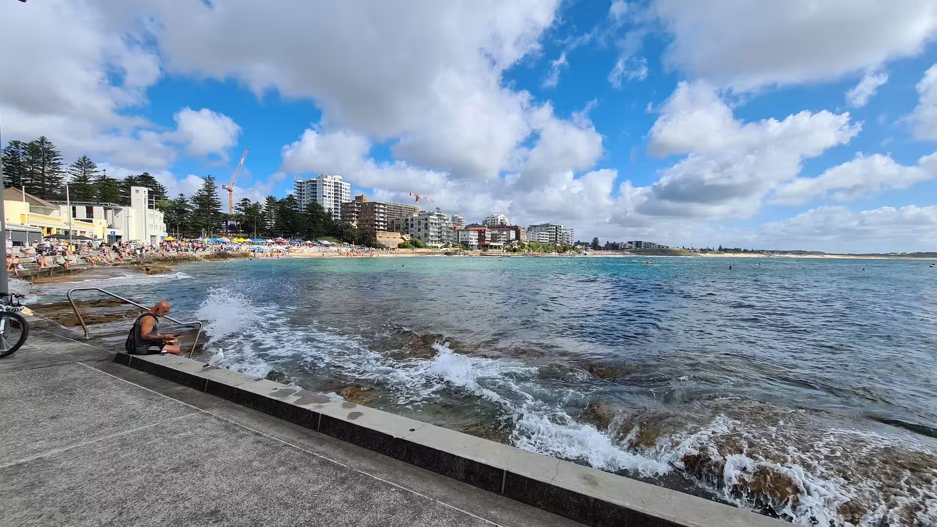
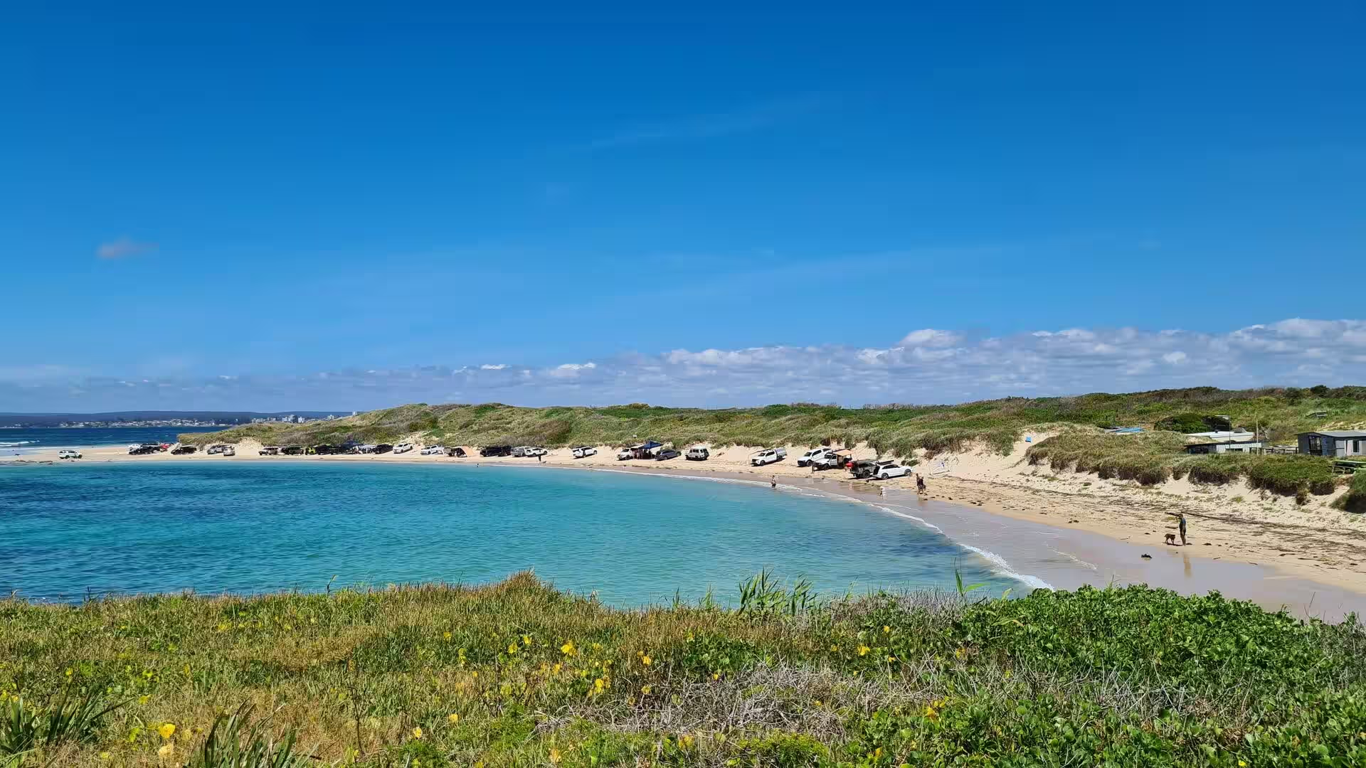
Cronulla Beach is the longest of the town beaches and the centre of the suburb in summer. A continuous stretch of sand runs from Boat Harbour past North Cronulla, where the sand ends at a line of rock pools, and another sandy beach lies at South Cronulla. Parts of the beach are patrolled by volunteer lifesavers, and local names mark the smaller features, among them The Alley between Cronulla and North Cronulla and The Wall between North Cronulla and Elouera. Swimming, surfing, bodyboarding and bodysurfing are all followed here, and the sand fills with crowds on warm weekends.
Wanda Beach is the northernmost patrolled beach of Bate Bay and the most open of the Cronulla beaches, backed by grassy dunes rather than a shopping street. Its surf life saving club was formed in 1946 by men who had served in the war, and it took army red, air force blue and navy blue as its colours; the club now has more than nine hundred members, from five year old Nippers to the founding members. Behind the beach the ground rises to the Cronulla sand dunes and the Greenhills area on the Kurnell peninsula, a heritage listed landscape of mobile sand. Don Lucas Reserve beside the car park is used for sport and kite flying.
North Cronulla Beach and the smaller South Cronulla Beach are the most sheltered of the ocean beaches and the easiest to reach from the station. Dunningham Park behind North Cronulla is shaded by large Norfolk Island pines and has a playground, picnic tables and a kiosk, while Cronulla Park lies behind the sand at the southern end. The rock pools between them are a favourite place for children at low tide, and the pools at South Cronulla attract swimmers who prefer still water to surf. A path follows the top of the beach from end to end.
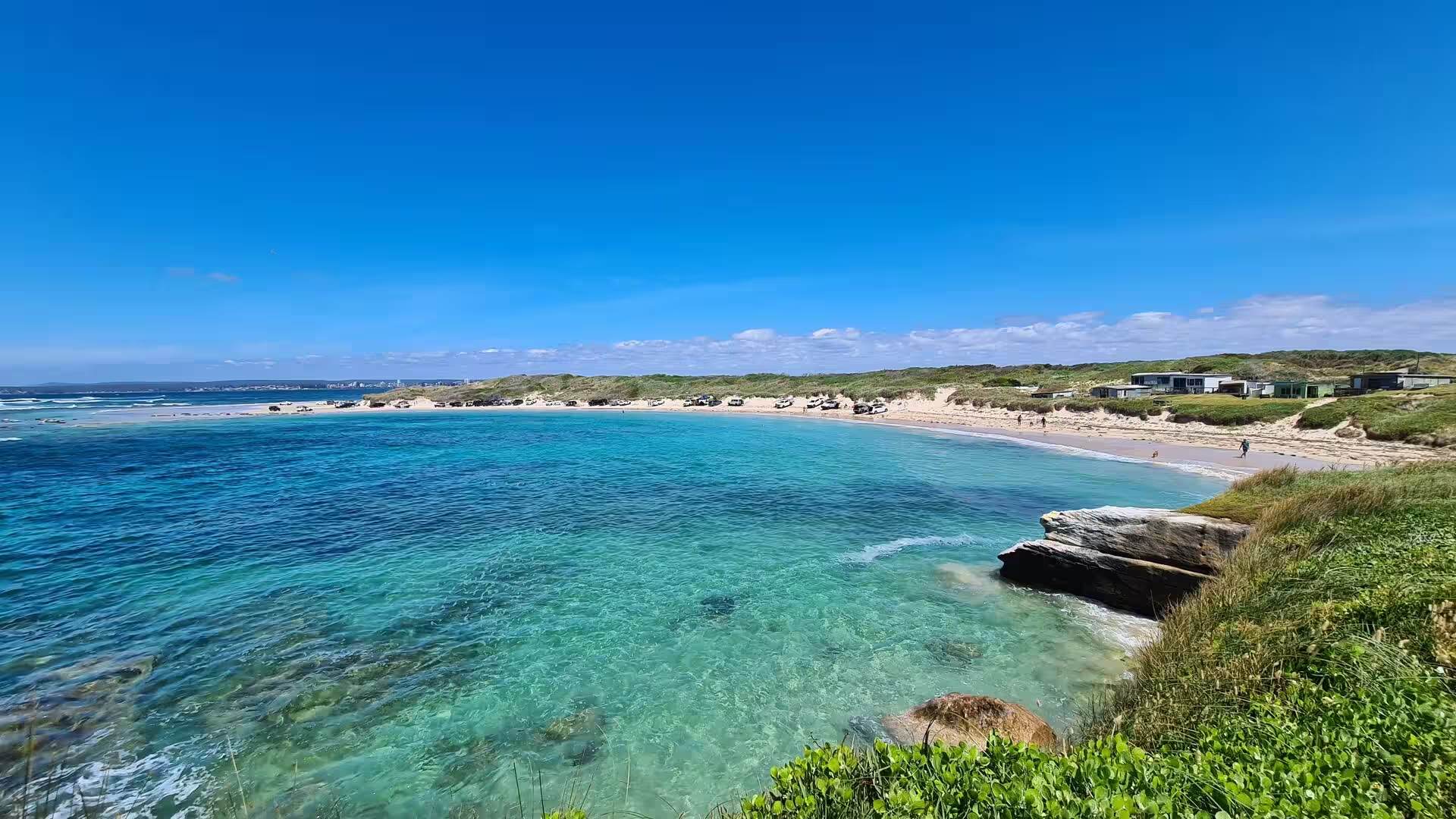
Bass and Flinders Point forms the southern tip of Cronulla and looks out over the entrance to Port Hacking. It carries a monument to George Bass and Matthew Flinders, who charted the estuary in 1796, and it is the best place in the suburb from which to watch the water at the mouth of the estuary and the rocky shoreline below. The walking path along the point passes above wave cut platforms and small coves, and fishing from the rocks is popular, though the swell is strong. Hungry Point Reserve is a second vantage point on the same stretch of coast.
Gunnamatta Bay lies on the western side of the peninsula and offers the calm water that the ocean beaches lack. The baths off Gunnamatta Park are used for swimming and learn to swim classes, and the ferry wharf beside Tonkin Park is the departure point for the crossing to Bundeena. Darook Park and Gunnamatta Park share the eastern foreshore and Tonkin Oval lies on the northern shore. The parks hold a valuable remnant of bushland canopy, including rough barked apple gums on shale derived soil, a tree that has become rare in the shire.
The chain of rock pools along the Cronulla beaches is one of the suburb’s defining features. At low tide the platforms between North Cronulla and South Cronulla are exposed and the pools they hold can be explored, with snails and barnacles on the rock, anemones closing over the surface at low water and small fish in the deeper basins. The pools are also the safest place for young children to meet the sea, since they are calm even when the surf is heavy on the beach. The tides set the hours for a visit, and the edge of the rock is slippery.
A continuous coastal walk runs the length of Cronulla, from Bass and Flinders Point in the south, around Gunnamatta Bay and the town beaches, and north to Wanda Beach and the edge of the sand dunes. The path is level for most of its length and gives views over Bate Bay, the headlands and the open ocean; in the migration season humpback whales are sometimes seen from the higher ground. Between the beaches the route passes the rock platforms and the surf clubs, and short detours lead down to Shelly Beach and Oak Park Beach.
Surf life saving and surfing shape the character of the suburb. Clubs patrol the sand at Wanda, Elouera, North Cronulla and South Cronulla, and the national body, Surf Life Saving Australia, has its roots in the volunteer patrols that began on Sydney beaches in 1907. Shark Island off Cronulla Beach holds the annual Shark Island Challenge for bodyboarders and the Australian Boardriders Battle is staged on Australia Day; the world champion Mark Occhilupo grew up surfing here. Cronulla Spring Festival fills the streets on the second weekend of September.
References
- Wikipedia contributors (2026). Cronulla, New South Wales. en.wikipedia.org/wiki/Cronulla%2C_New_South_Wales
- Wikipedia contributors (2026). Port Hacking. en.wikipedia.org/wiki/Port_Hacking
- Wikipedia contributors (2026). Sutherland Shire. en.wikipedia.org/wiki/Sutherland_Shire
- Wikipedia contributors (2026). Surf Life Saving Australia. en.wikipedia.org/wiki/Surf_Life_Saving_Australia
- Wikipedia contributors (2026). Rock pool. en.wikipedia.org/wiki/Rock_pool
- Wikipedia contributors (2026). Kurnell, New South Wales. en.wikipedia.org/wiki/Kurnell%2C_New_South_Wales
- Wikipedia contributors (2026). Gunnamatta Bay. en.wikipedia.org/wiki/Gunnamatta_Bay
- Wikipedia contributors (2026). Gweagal. en.wikipedia.org/wiki/Gweagal
- Wikipedia contributors (2026). Cronulla sand dunes. en.wikipedia.org/wiki/Cronulla_sand_dunes
- Wikipedia contributors (2026). Botany Bay. en.wikipedia.org/wiki/Botany_Bay
- Wikipedia contributors (2026). Wanda Beach. en.wikipedia.org/wiki/Wanda_Beach
- Wikipedia contributors (2026). Royal National Park. en.wikipedia.org/wiki/Royal_National_Park
- Wikipedia contributors (2026). Dharawal. en.wikipedia.org/wiki/Dharawal
- Wikipedia contributors (2026). Sydney Water. en.wikipedia.org/wiki/Sydney_Water
- Horikawa K., Sunamura T. (1968) An Experimental Study on Erosion of Coastal Cliffs Due to Wave Action. Coastal Engineering in Japan. 11. 131-147. doi.org/10.1080/05785634.1968.11924076
- Moran M., Waddington D. (2016) When Beach Life Goes Bad: The Cronulla (Sydney, Australia) Riot of 2005. Riots. 67-94. doi.org/10.1057/978-1-137-57131-1_4