2024 Australia - October - Southport





Journal Notes
General
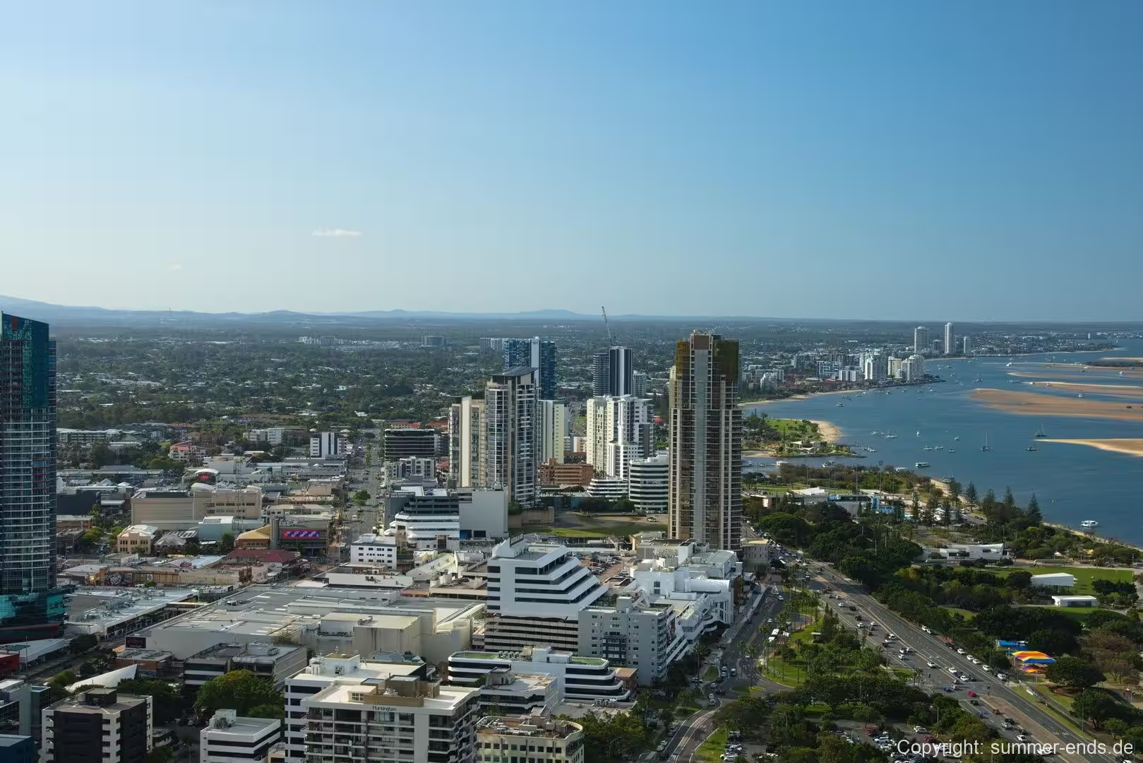
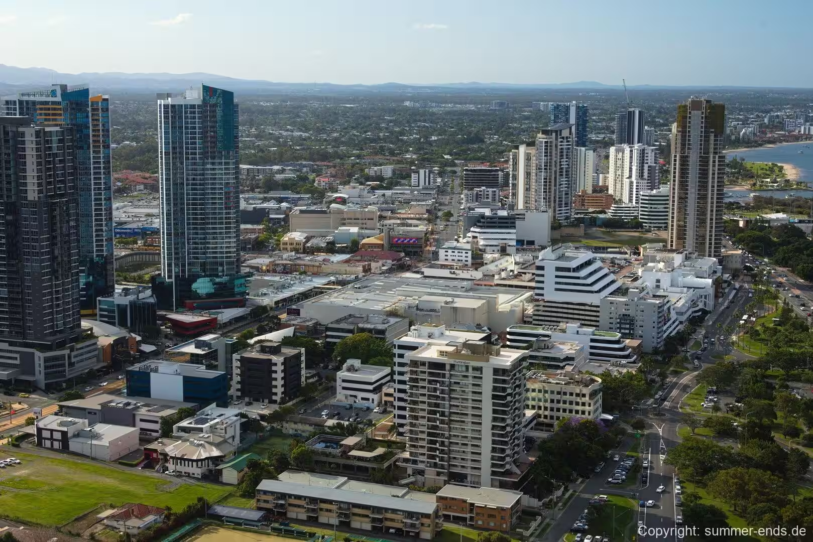
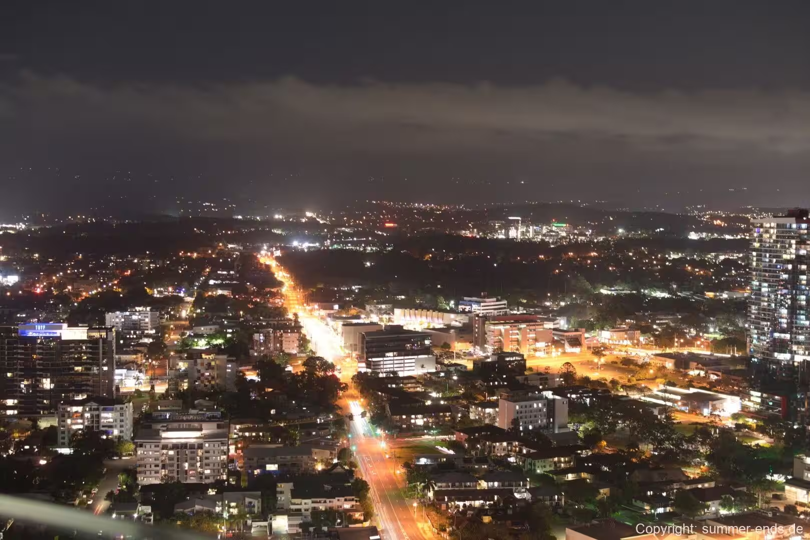
Southport is a suburb on the western shore of the Gold Coast Broadwater in Queensland, Australia, and it is the most populous suburb within the City of Gold Coast. In the 2021 census it recorded a population of 36,786, the largest of any suburb in the municipality. It holds the Gold Coast central business district and has served as the administrative seat of the city, housing the principal council offices of the City of Gold Coast and the largest concentration of office space in the area, about 103,800 square metres. The suburb covers roughly 15.6 square kilometres and lies on low ground, around nine metres above sea level. It sits immediately north of Surfers Paradise, about 4.2 kilometres away by road, and roughly 73 kilometres south south east of Brisbane by road.
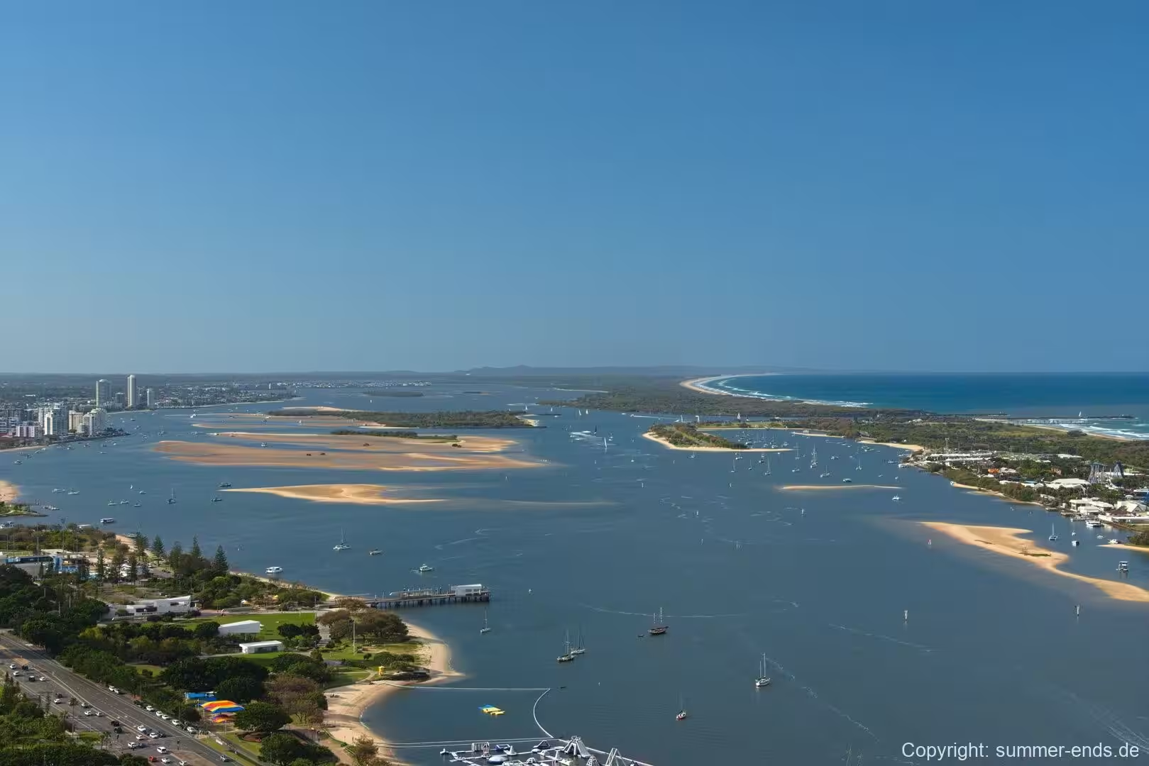
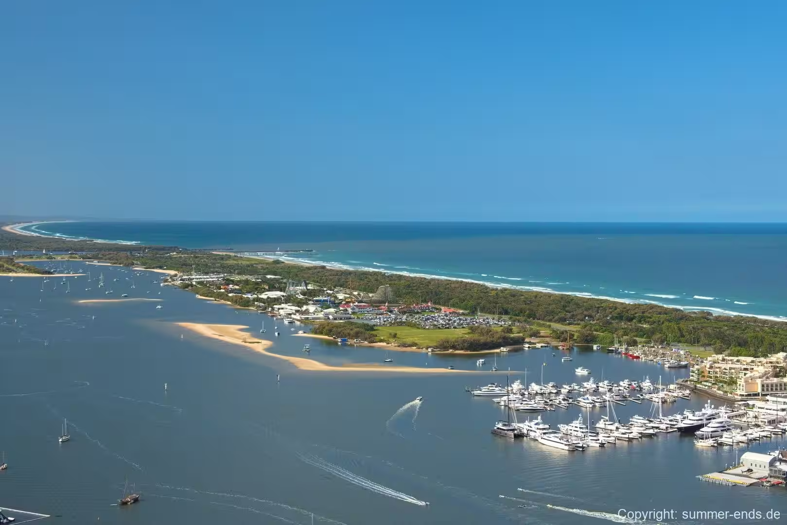
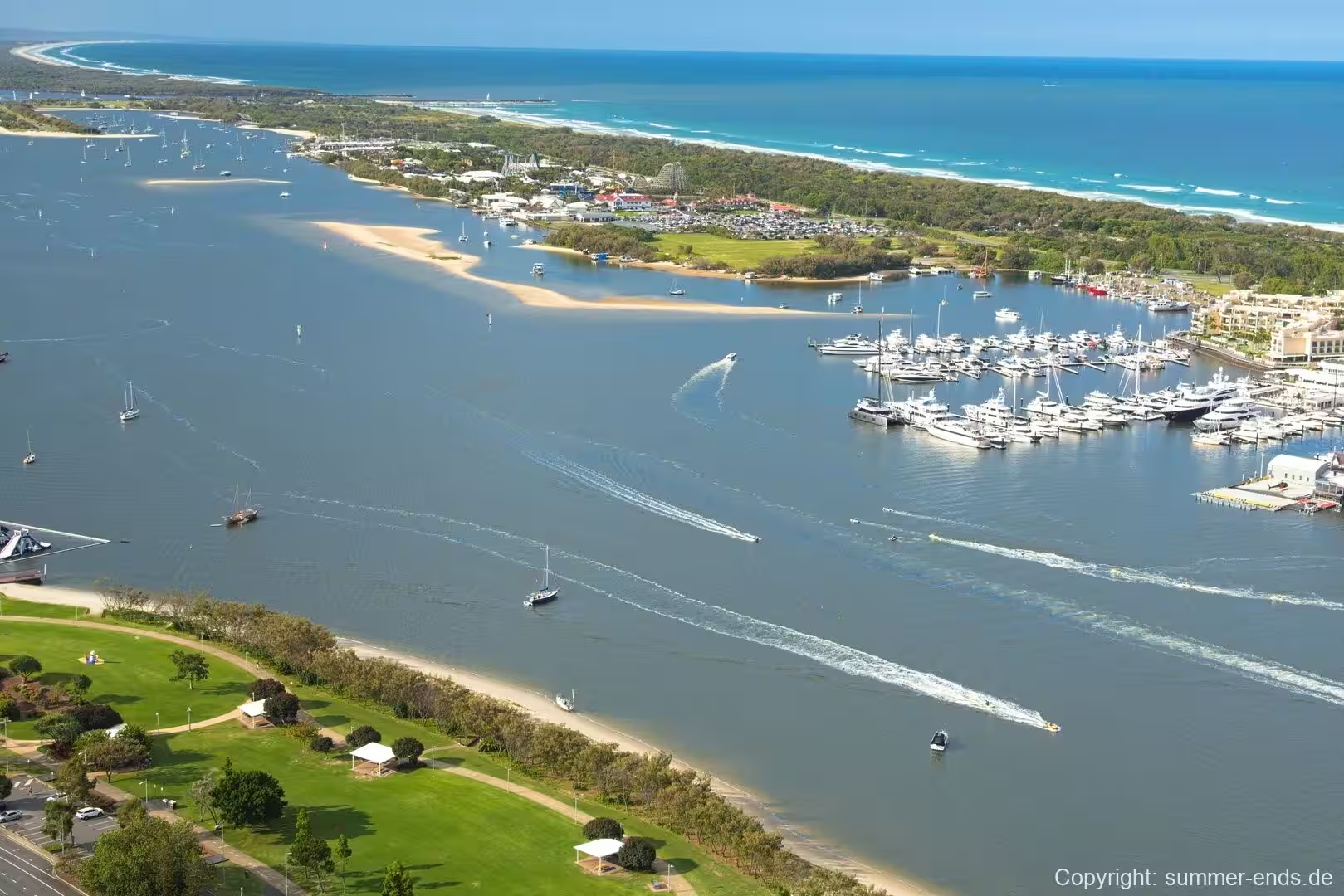
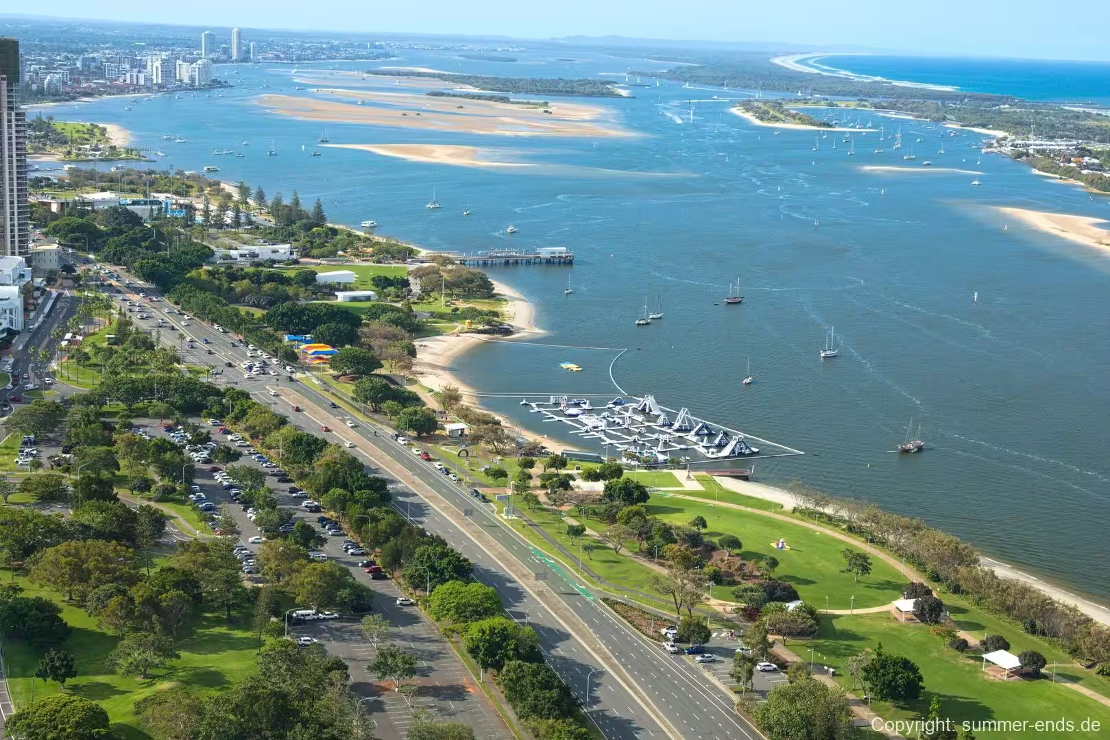
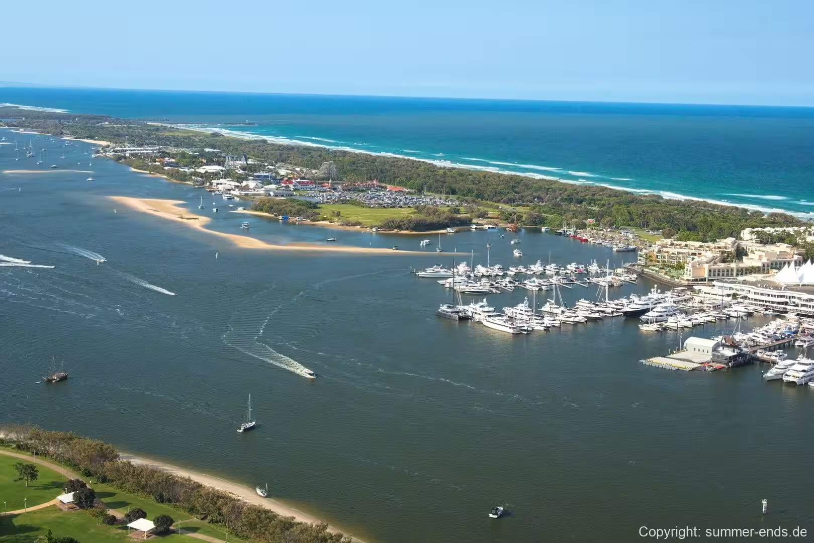
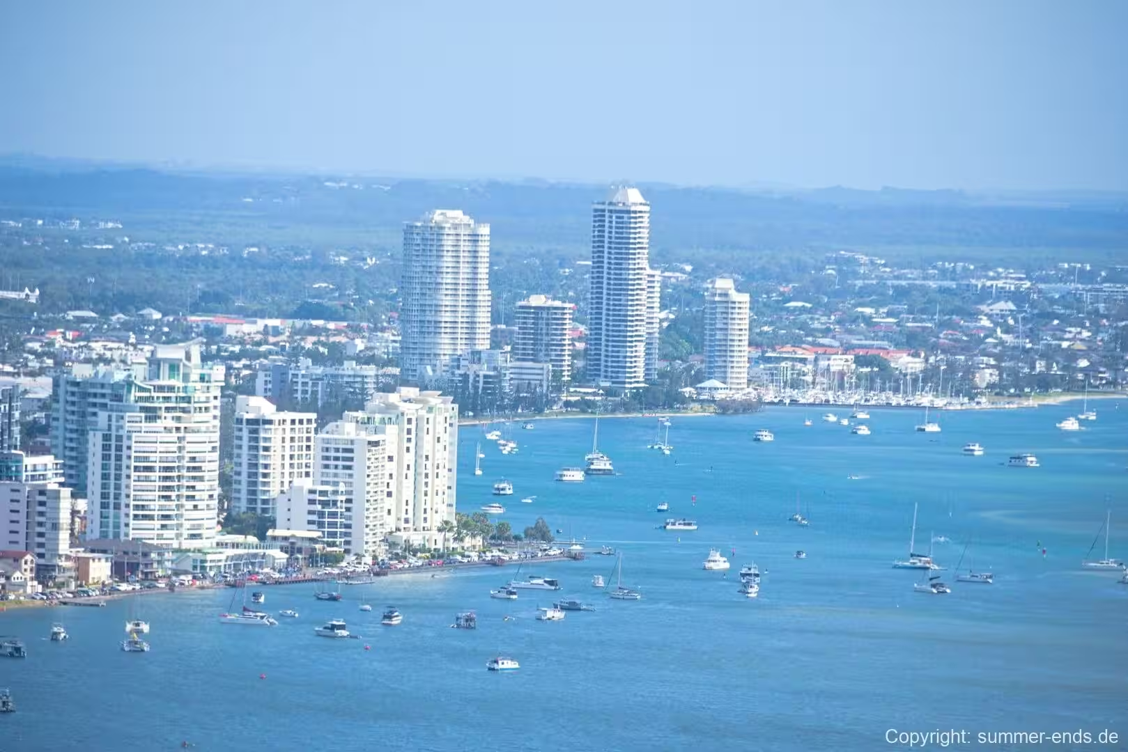
The defining natural feature is the Broadwater, the large, shallow estuarine lagoon that forms the eastern edge of the suburb. The Nerang River wraps around the suburb to the south and south east, and the two meet where the river empties into the Broadwater, the southernmost reach of Moreton Bay. On the far side of the water lies a narrow sand spit known as the Spit, with South Stradbroke Island and the surf beaches of the Gold Coast beyond it. Because the suburb wraps around the western side of the lagoon, large parts of it look out over open water and across to the island, rather than to the ocean that surfers and day trippers flock to elsewhere on the coast.
Southport holds a distinctive position within the city. It is the civic and commercial centre rather than the primary tourist strip, a role that belongs to the Surfers Paradise and Broadbeach sections further south. It is nonetheless very well connected, served by the G:link light rail line, and is home to the Gold Coast University Hospital and a campus of Griffith University, developments that have strengthened its place as a health and education precinct. The suburb also records the largest communities of several ethnic groups in the state, among them Filipino, French, Polish, Russian and Croatian Australians, a reflection of its position as the most populous and one of the most diverse parts of the Gold Coast.
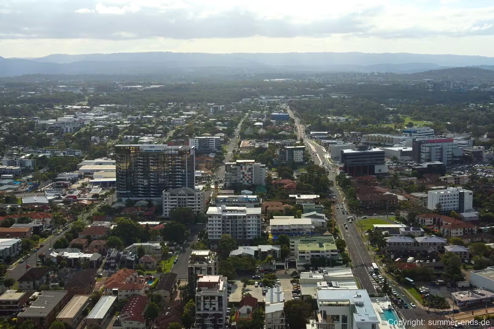
The suburb forms the northern anchor of the city’s network of activity centres, and the light rail links it directly with the beachfront precincts to the south. Its streets are arranged on a largely regular grid around the compact shopping and office core, with residential and parkland areas spreading inland and along the water.
History
The place was originally known as Nerang Creek Heads. Its present name comes from its early function as the southernmost port of the colony of Queensland, the port that served the south of the colony, and so the name Southport was adopted. A settlement was first surveyed in 1874 and the name was chosen the following year.
The earliest European industry in the district was logging. Timber mills worked the inland forests, and a port was established on the waterway to ship logs to Brisbane. Clearing the timber opened the area to closer settlement, and early rural activities included sugar growing and livestock grazing. The deepwater frontage made the place a natural harbour for coastal steamers, and the first pier was built in 1883 so that steamships could land both cargo and passengers. In the 1880s the Governor of Queensland, Sir Anthony Musgrave, chose Southport for the family’s summer residence, and that patronage helped establish the settlement as the colony’s leading seaside resort. The South Coast railway line from Beenleigh was opened in 1889, bringing day trippers from Brisbane and confirming the town’s standing as a resort destination.
The settlement grew around the jetty and the hotels that served arriving visitors, and by Federation in 1901 it had a permanent population of about 1,230 together with a well established tourist trade. Bathers and excursionists came by rail and by steamer throughout the first half of the twentieth century, and the pier carried a theatre and a cafe for much of that period. Infrastructure continued to develop across the decades. In 1925 the Jubilee Bridge was opened, replacing the ferry that had carried passengers across the water to the surf beaches and the settlement that became Main Beach. By the 1950s Southport was at once the central entertainment district and the administrative centre of the Gold Coast, with a busy commercial heart along Nerang Street. The wider council area changed its name from the Town of South Coast to the Town of Gold Coast in 1958 and was proclaimed a city in 1959, and Southport, as the seat of that administration, developed into the regional service and business centre of the new city.
Later decades brought both renewal and disruption. Purpose built shopping centres arrived, with Australia Fair opening in 1983 and the earlier Sundale centre, once the largest on the coast, closing as the newer complex took its trade. A light rail system, G:link, began running through the suburb in 2014, and the addition of the university hospital and a university campus reinforced the town’s civic character. The waterfront has been reworked in the 21st century, with the Broadwater foreshore transformed into a large parkland precinct that now anchors public life in the suburb.
Geology
The coastal plain on which Southport stands is young in geological terms and built almost entirely of sand. The land here, and across much of the Gold Coast, forms part of a broad coastal plain of Quaternary beach ridges, dunes, river deltas, estuaries and wetlands, most of it less than ten metres above sea level. The shoreline has been shaped by longshore drift, a steady northward movement of sand along the coast over thousands of years that built the long sand spits and banks which enclose the Broadwater.
The sands of the plain are free draining and loose, and they rest on older, harder rock that surfaces in the foothills further inland. The Broadwater itself formed as a lagoon. Water from the Nerang River gathered behind the former Stradbroke Island, creating a sheltered body of water now separated from the Coral Sea and the South Pacific Ocean by South Stradbroke Island to the north and the Spit to the south. It is a shallow estuary, with an average depth of around 1.7 metres and a maximum of about nine metres. Toward its northern end it connects to Moreton Bay, and at its southern end, at the Gold Coast Seaway, it opens to the ocean. Its waters are of near marine salinity and it lies partly within the Moreton Bay Marine Park.
The river mouth has never stayed in one place. The natural entrance of the Nerang River migrated steadily northward over the decades, and navigable channels shift around the sandbanks that build at the mouth. The channel that craft use to cross the Broadwater has to thread between two large sandbanks, and the entrance itself was a hazard for shipping and a source of boating accidents. Since the Seaway was completed in 1986 the entrance has been fixed in position and the tidal range within the waterway has increased. Artificial sand bypassing and regular dredging were introduced to keep the channel clear, yet the sand delta at the mouth continues to grow and still requires repeated dredging to keep it navigable.
The nearest volcanic landscape lies to the west in the hinterland rather than beneath the suburb. The Tweed Volcano, an enormous shield volcano centred on what is now Mount Warning, erupted around 23 million years ago, and its basalt flows reached as far north as Tamborine Mountain and as far west as Mount Lindesay. The volcano has since eroded back to a central peak, and resistant basalt caps survive as the ridges and headlands of the Gold Coast hinterland, such as the headland at Burleigh Heads. Rich red soils derived from these old basalts are found on the elevated plateaus of the hinterland, while the softer ground closer to the coast is the product of the young, largely sandy deposits that make up the present plain.
Things to See
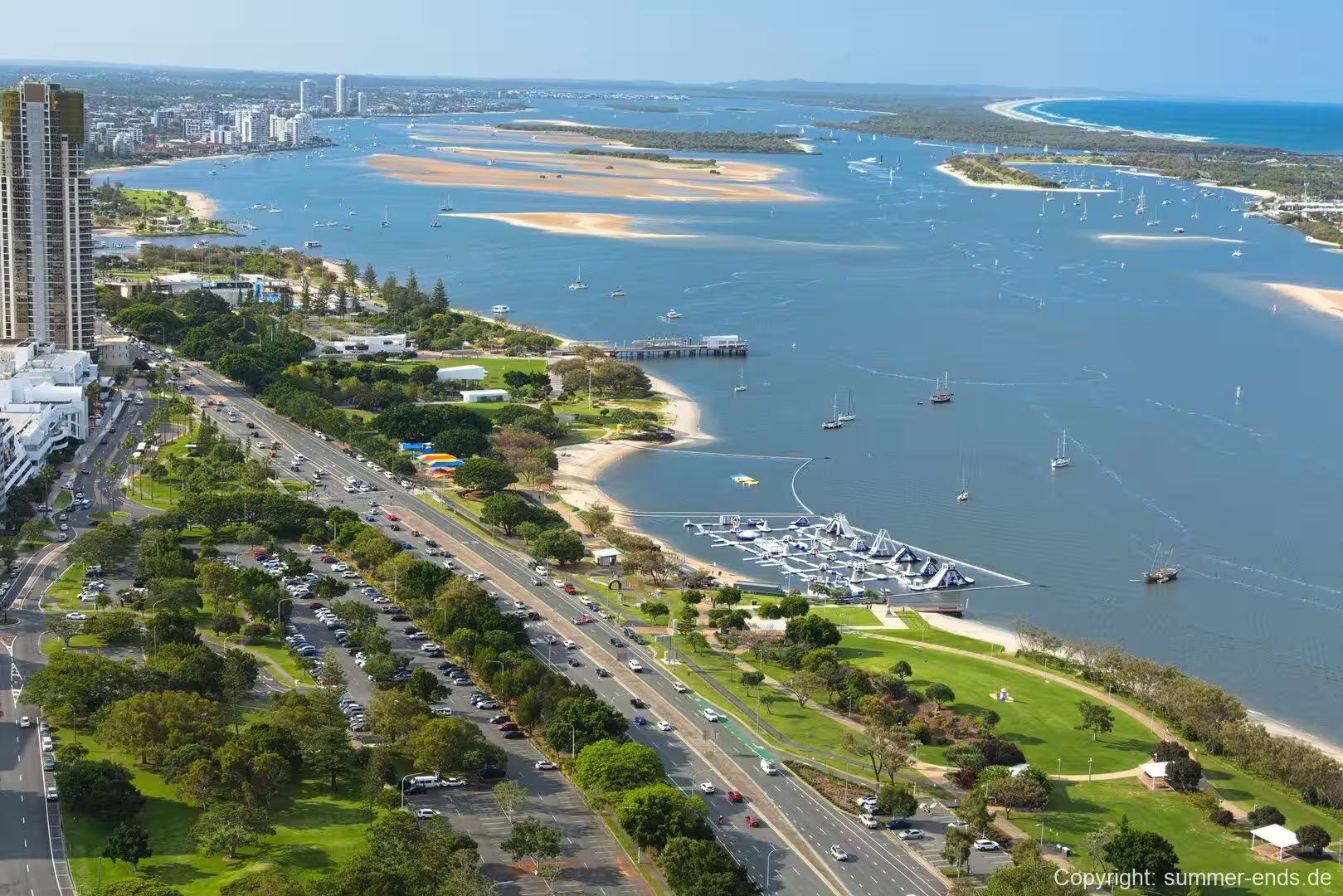
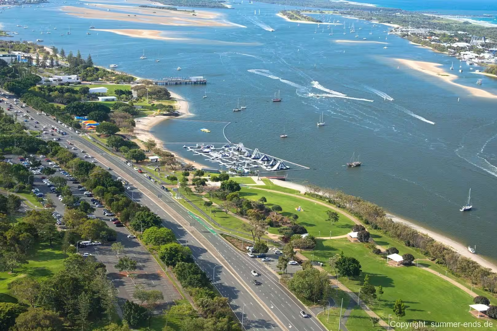
The Broadwater is the defining attraction of Southport, an expansive, sheltered lagoon that is used for swimming, fishing, sailing and powerboating. Because it is enclosed and relatively shallow, the water is calmer than the ocean beaches across the spit, and it is well suited to family swimming and small craft. A ferry service and a number of charter operators run across the waterway, and the area is a popular base for recreational fisheries. On the north east shore the lagoon opens toward the southern end of Moreton Bay.
On the western side of the water lies the Southport Broadwater Parklands, a purpose built foreshore that opened in 2009 and was expanded in 2013 and 2016. The parklands bring together the historic Southport Pier, the Gold Coast Aquatic Centre, the Southport War Memorial and stretches of open lawn and seating along the shoreline, and they serve as the main public gathering space for the suburb. The pier itself is a reminder of the steamer traffic that once landed here. The foreshore is also the venue for large public events, hosting festivals and community gatherings throughout the year.
The suburb is a boating and sailing centre. The Southport Yacht Club and a number of marinas are located on the southern bank of the Nerang River in the area now known as Main Beach, and the facility supports both cruising craft and racing fleets. The sheltered water of the river mouth and the broadwater makes this stretch of coast a convenient harbour, and the sight of rigging and moored yachts is a feature of the waterfront.
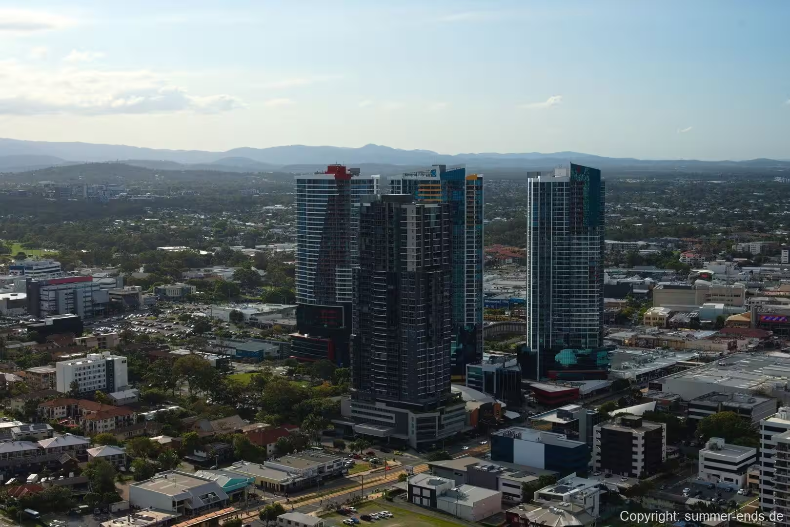
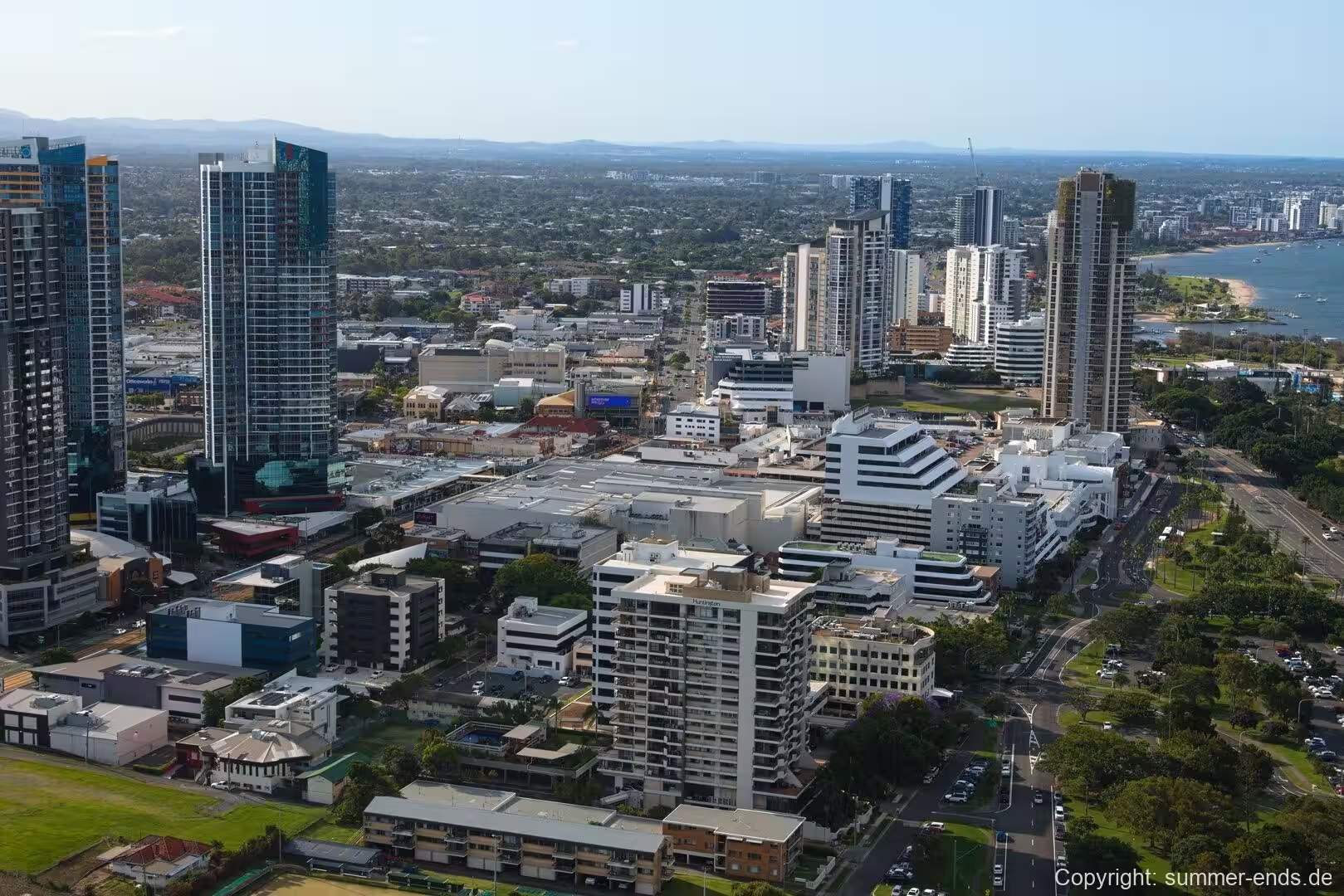
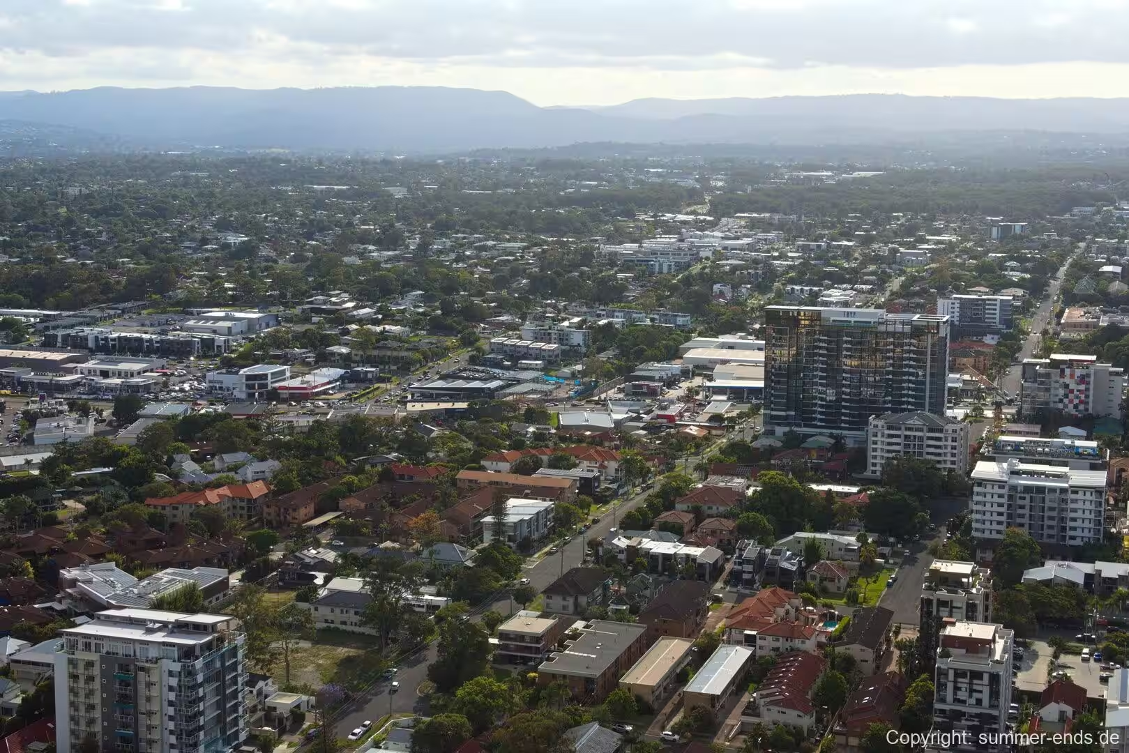
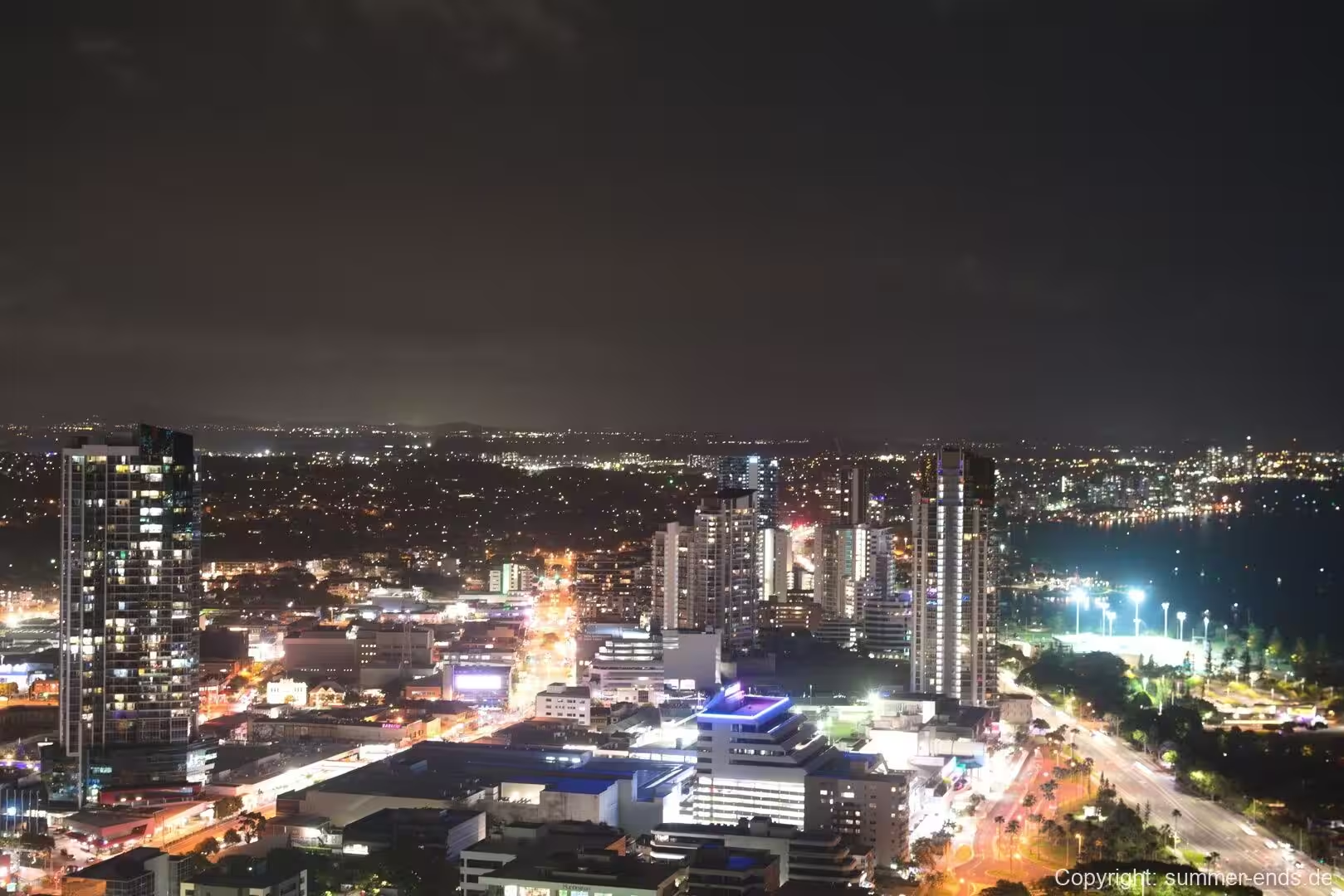
The commercial core is defined by a growing skyline of high rise towers, most of them standing along the river and the broadwater. The Southport Central development, opened in 2009, was among the first of the modern towers in the suburb, and a number of residential and commercial projects have followed, giving the civic centre a dense waterfront profile that contrasts with the low rise suburbs behind it. Across the water on the Spit sits the Sea World theme park, visible from the shore.
For those who prefer the surf, the open beaches of Main Beach and the Spit lie across the water and are within easy reach, while the calm shore of the Broadwater offers its own swimming and parkland. Closer to the town centre, Australia Fair is an indoor shopping centre on Nerang and Scarborough Streets with more than 200 stores and a cinema, and the Southport Mall at the western end of Nerang Street preserves the older shopping strip. The suburb’s council library and local studies collection, which holds the city’s historical records, are also based here.
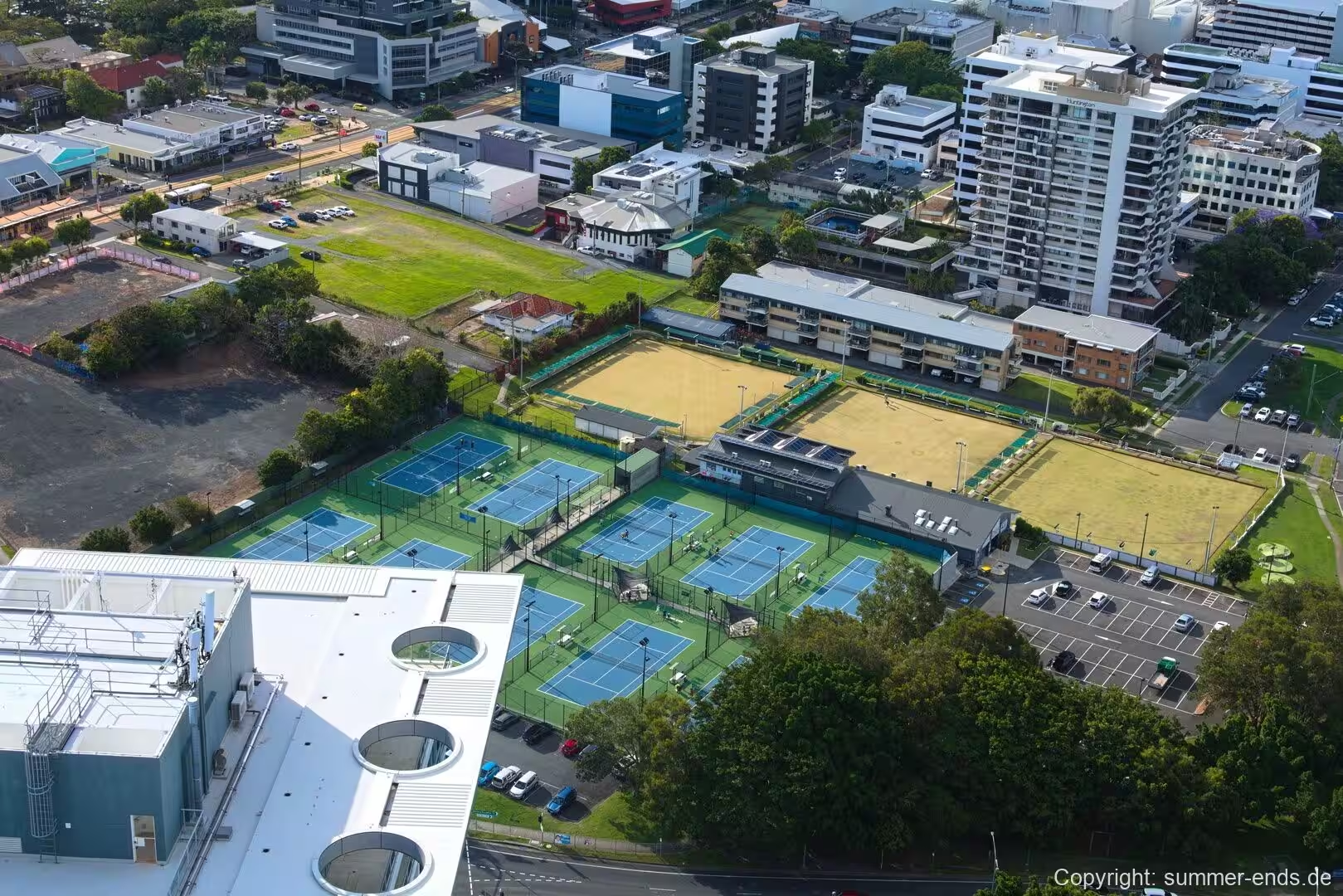
Sport is well served. The Gold Coast Aquatic Centre in the parklands is the city’s principal swimming facility and has hosted major competition, while the suburb fields clubs across several codes, including the Southport Tigers in rugby league and the Southport Sharks in Australian rules football. The light rail and bus interchange make it straightforward to travel to the stadiums and sporting venues elsewhere on the Gold Coast.
References
- Journal of Coastal Research, Morphological evolution of the Nerang River Entrance ebb-tidal delta
- Journal of Coastal Research, Sand Transport and Shoreline Evolution, Northern Gold Coast
- Springer, Gold Coast Broadwater: Southern Moreton Bay, Southeast Queensland, Australia
- Queensland Places, Gold Coast
- City of Gold Coast, State of the Environment Report, Chapter 2: A description of the Gold Coast area
- City of Gold Coast, Southport Local Area Plan
- Australian Bureau of Statistics, 2021 Census QuickStats: Southport
- City of Gold Coast
- en.wikipedia.org/wiki/Southport,_Queensland
- en.wikipedia.org/wiki/Gold_Coast_Broadwater
- en.wikipedia.org/wiki/City_of_Gold_Coast
- en.wikipedia.org/wiki/Gold_Coast,_Queensland
- en.wikipedia.org/wiki/History_of_the_Gold_Coast,_Queensland
- en.wikipedia.org/wiki/Town_of_South_Coast
- en.wikipedia.org/wiki/Nerang_River
- en.wikipedia.org/wiki/Gold_Coast_Seaway
- en.wikipedia.org/wiki/Southport_Broadwater_Parklands
- en.wikipedia.org/wiki/Tweed_Volcano
- en.wikipedia.org/wiki/Moreton_Bay_Marine_Park