2025 Amalfi 3 - Paestum





Journal Notes
General
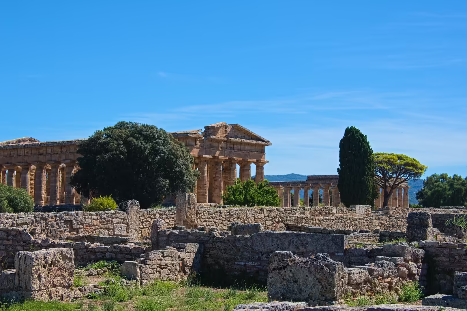
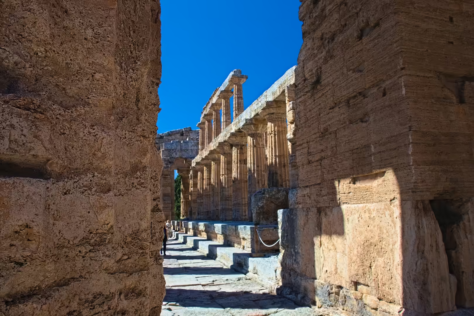
Paestum is the Latin name of the ancient Greek city of Poseidonia, whose ruins lie on the coastal plain of the Sele river in the province of Salerno, Campania, about a kilometre from the present Tyrrhenian shoreline and some 90 km south of Naples. The city was founded on a low plateau of travertine (freshwater limestones deposited during the Late Pleistocene and Holocene in the southern sector of the Sele plain), which raised the settlement above the surrounding alluvial lowlands. Three Doric temples dating from about 550 to 450 BC, preserved to their full height, dominate the site and rank among the best-preserved examples of Greek architecture anywhere in the Mediterranean. The archaeological area, together with the modern national museum, forms the principal remains of the ancient city; the modern village of Paestum belongs to the municipality of Capaccio Paestum.
Since 1998 the site has been protected as part of the UNESCO World Heritage property “Cilento and Vallo di Diano National Park with the Archaeological Sites of Paestum and Velia, and the Certosa di Padula”, inscribed under criteria (iii) and (iv) in recognition of the exceptional testimony of the Greek and Roman city and of the cultural landscape of the Cilento. The archaeological park attracts visitors throughout the year, and the site remains an active field of excavation and conservation research, administered by the Italian state archaeological authority.
The climate of the Sele plain is Mediterranean (Csa after Köppen), with hot, dry summers and mild, wet winters, moderated by the proximity of the sea. The plain itself is one of the most fertile agricultural districts of Campania, cultivated with vines, olives, fruit and, historically, the roses for which the territory was famous in antiquity. The combination of the three temples, the circuit of walls and the museum makes Paestum one of the most complete archaeological landscapes of Magna Graecia.
History
According to the geographer Strabo, the city was founded as Poseidonia, named for the sea god Poseidon, by Greek colonists from Sybaris, the Achaean city of the instep of Italy; some ancient sources instead connect the founders with the Troezenians, and the date of foundation is given by archaeological evidence as about 600 BC. The colonists first fortified a position near the sea (possibly the promontory of modern Agropoli) and then founded the city further inland on the higher, drier ground of the travertine plateau. The new city flourished as a Greek polis of Magna Graecia: two great sanctuaries of Hera were established, one within the city walls and one at the mouth of the Sele, and the temple of Athena was built on the highest point of the town in about 500 BC. The prosperity of the city rested on the fertile plain, on trade and on the production of painted pottery: the distinctive red-figure vases known as Paestan ware belong to a later phase of the city’s history.
During the late fifth century BC the city passed under the control of the Lucanians, the Oscan-speaking people of the interior, who retained the urban fabric and continued the cults of the Greek sanctuaries; the painted tombs of the Lucanian period are among the richest archaeological documents of the site. The city and its territory were drawn into the conflicts between Rome and the peoples of southern Italy, and in 273 BC, in the aftermath of the Pyrrhic War, Poseidonia was refounded as the Latin colony of Paestum. During the war against Hannibal the colony remained loyal to Rome and was rewarded with privileges including the right to mint its own coinage; under the empire it prospered as a Roman municipium, acquiring a forum, a Capitolium and an amphitheatre, while the Greek heritage of the city remained visible in its sanctuaries and in the dialect of its inhabitants.
The fertility and beauty of the territory were proverbial in antiquity: Virgil, in the Georgics, celebrates the roses of Paestum that flowered twice a year, and the city became a byword for the luxuriance of the Campanian coast. A Christian bishopric is documented from about AD 400, and the city survived the end of the western empire, although its territory was increasingly affected by the silting of its harbour and the progressive waterlogging of the coastal plain.
Between the fourth and seventh centuries AD the city entered a long decline. The deterioration of the natural drainage converted the low-lying parts of the plain into swamps, creating the malarial conditions that made the site increasingly uninhabitable, and raids by Saracen pirates in the early Middle Ages completed the abandonment: the bishopric was suppressed in 1100, and the remaining population moved to the defensible hilltop of Agropoli, a few kilometres to the south. The ruins of Paestum were quarried for building stone (columns and blocks were carried to Salerno, where they were reused in the cathedral of Robert Guiscard) and the site was gradually overgrown and forgotten.
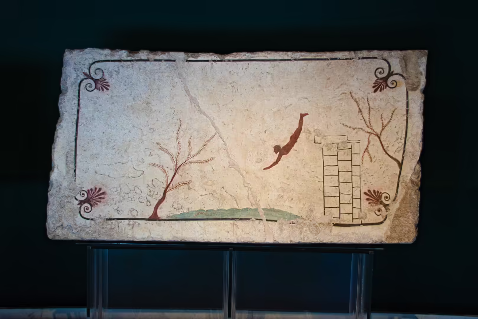
The ruins were correctly identified as Greek temples as early as 1524, but only in the eighteenth century, in the wake of the discoveries at Pompeii and Herculaneum, did Paestum attract wide attention, when the construction of the coastal road from Naples opened the site to travellers. Giovanni Battista Piranesi published his atmospheric etchings of the temples in 1778, and the austere Doric forms of Paestum exercised a lasting influence on the Greek Revival architecture of Europe. Systematic excavation and restoration followed during the nineteenth and twentieth centuries; the modern museum was built beside the site, and the discovery of the Tomb of the Diver in 1968 revealed the only surviving example of Greek wall painting of the classical period found in situ.
Geology
The ruins of Paestum stand on the southern coastal plain of the Sele river, one of the largest alluvial plains of the Tyrrhenian coast of Campania. The plain is a tectonically controlled coastal basin, filled during the Quaternary with the sediments delivered by the Sele and its tributaries from the limestone massifs of the Campanian Apennines, and bounded inland by the foothills of the Cilento. The coastline has shifted repeatedly in response to sediment supply, sea-level change and tectonic movement, and the present shoreline lies well seaward of the ancient one.
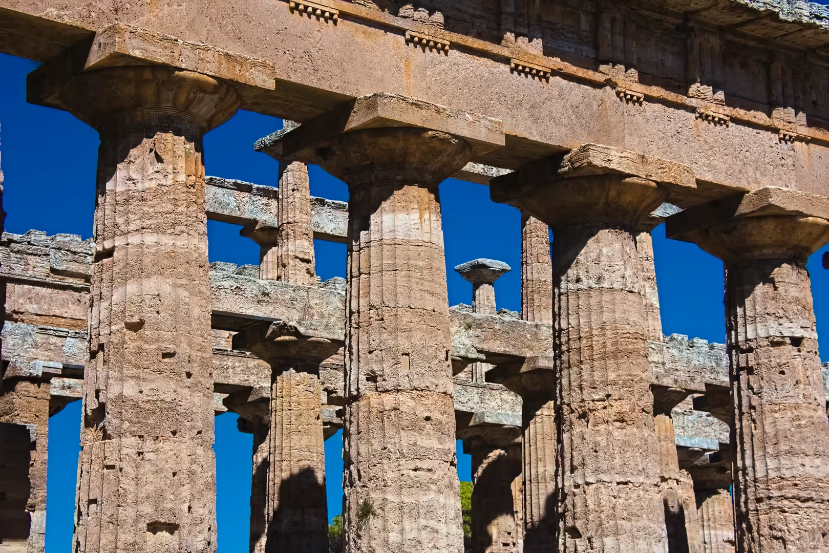
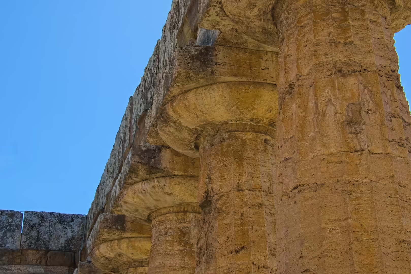
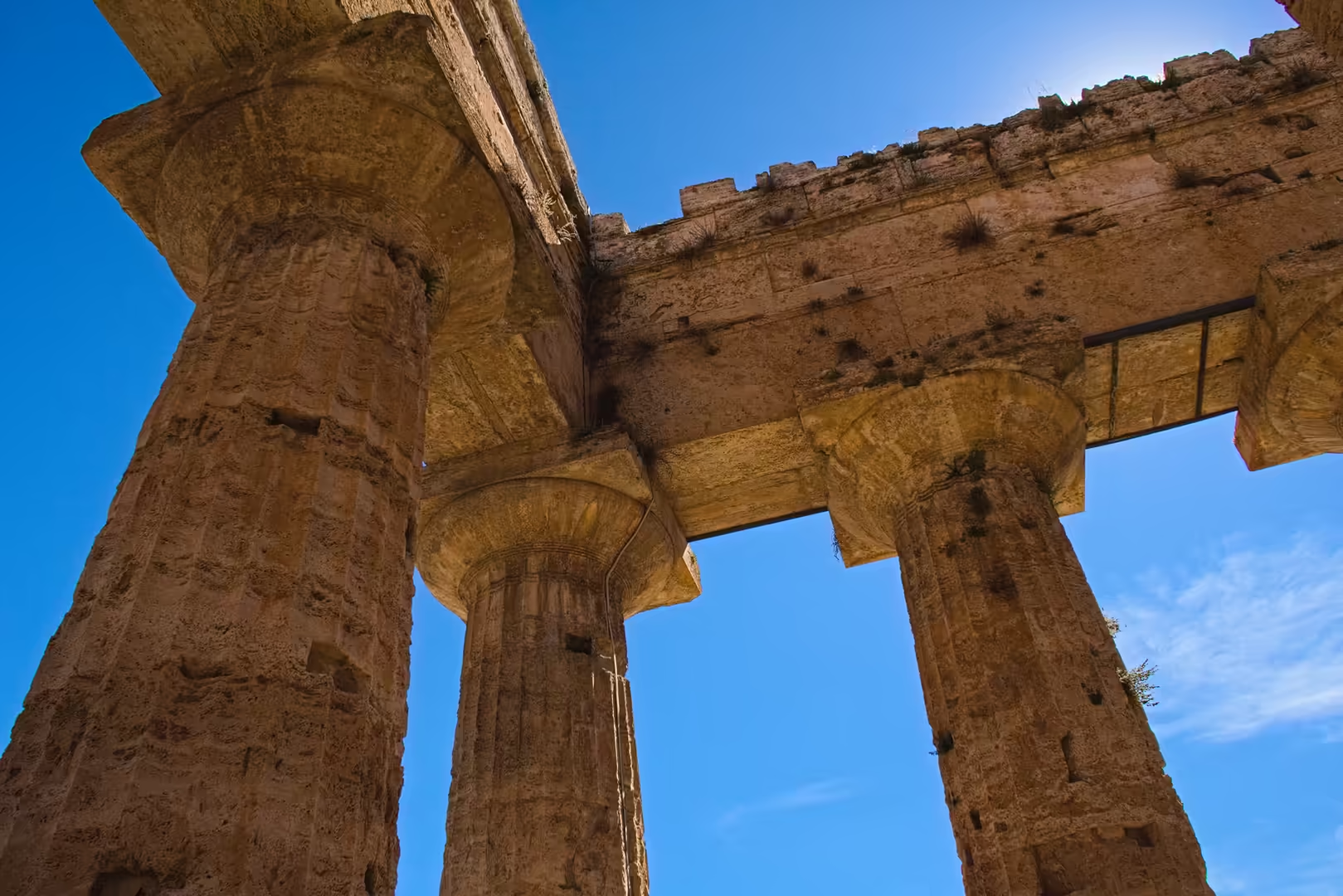
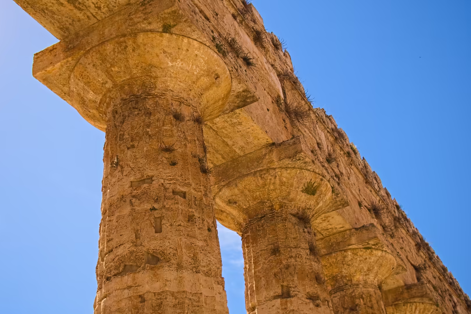
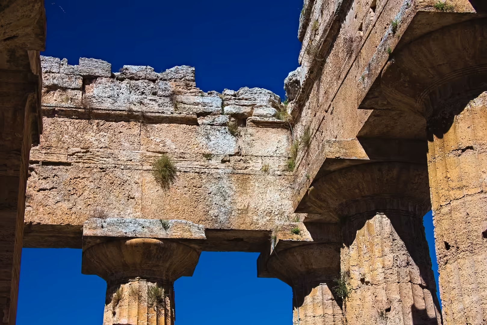
The foundation of the city on a low travertine plateau reflects the geomorphology of the plain: the travertines are freshwater limestones precipitated from carbonate-rich spring and river waters during the Late Pleistocene and Holocene, forming a slightly elevated, well-drained surface above the swampy alluvial lowlands. Sedimentological analysis of these deposits shows that the plateau offered the only naturally dry and firm ground in the southern sector of the plain, an observation that explains both the location of the Greek colony and the tradition, recorded by Strabo, that the settlers moved their city inland from the coast to higher ground. The temples themselves were built of the same local travertine, a porous and easily worked stone that has weathered over the millennia to its present rough, coarsened surface.
The relationship between the city and the sea was central to its history. In Greek and early Roman times Paestum possessed a harbour on the lower Sele, sheltered by lagoons and connected to the sea; the sanctuary of Hera at Foce del Sele marked the river mouth. Progressive sediment accumulation and the progradation of the coastline gradually cut the city off from the sea, and the silting of the harbour, combined with the disruption of the plain’s drainage, converted the former lagoon and marshlands into stagnant, malarial wetlands. Geoarchaeological research has shown that these environmental changes (partly natural, partly the unintended consequence of land use) were decisive factors in the decline and eventual abandonment of the city in the early Middle Ages.
The soils of the plain derive from the mixing of alluvial sediments and weathered travertine with volcanic material transported from the Campanian volcanic province, and are among the most fertile of southern Italy. The same fertility that sustained the Greek and Roman city also supported the intensive agriculture of the modern plain, and the drainage works of the twentieth century, which reclaimed the malarial marshes, transformed the region into the cultivated landscape visible today. The water table of the plain remains high, and the conservation of the archaeological site requires continuous management of drainage and of the moisture balance beneath the ancient structures.
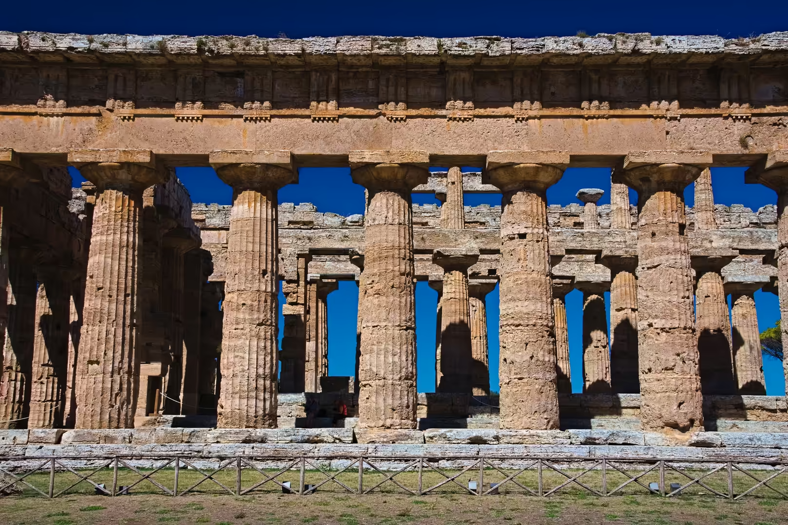
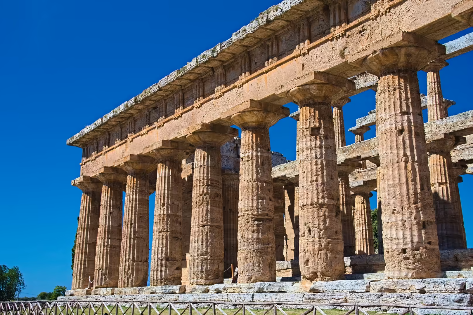
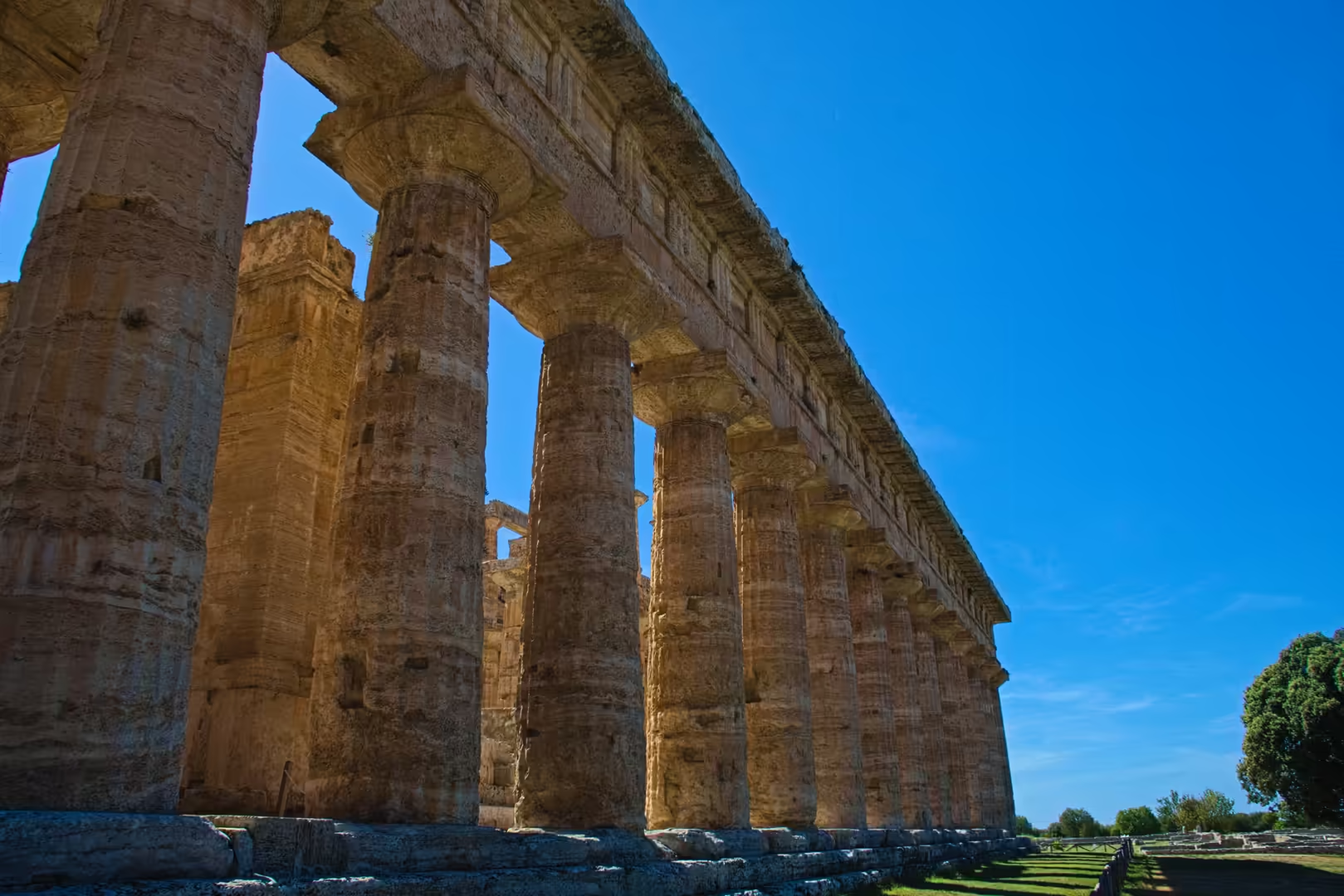
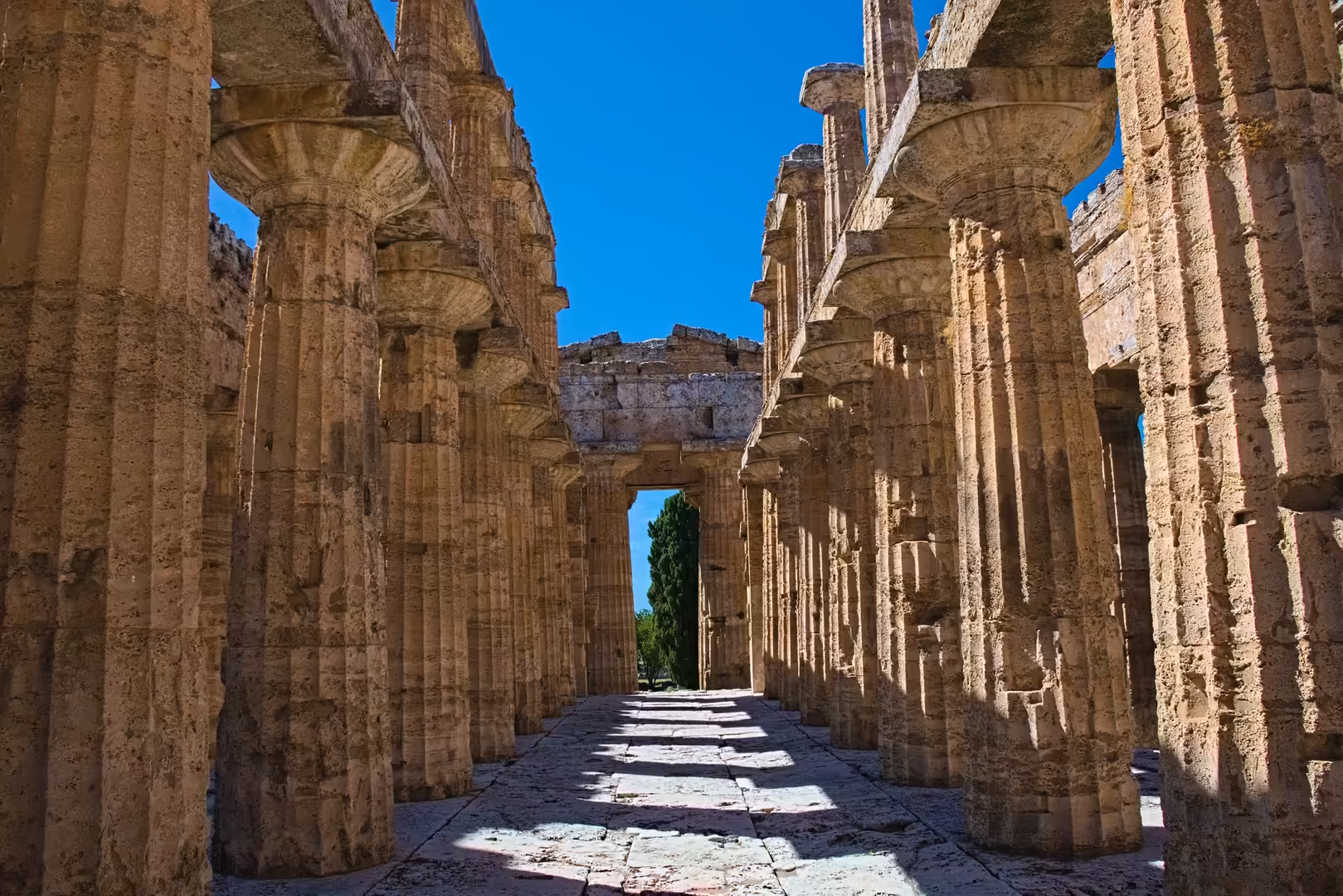
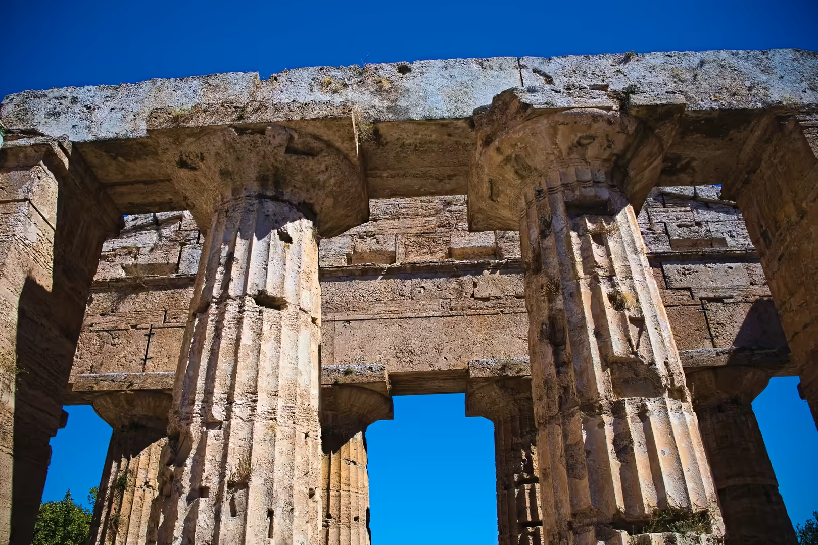
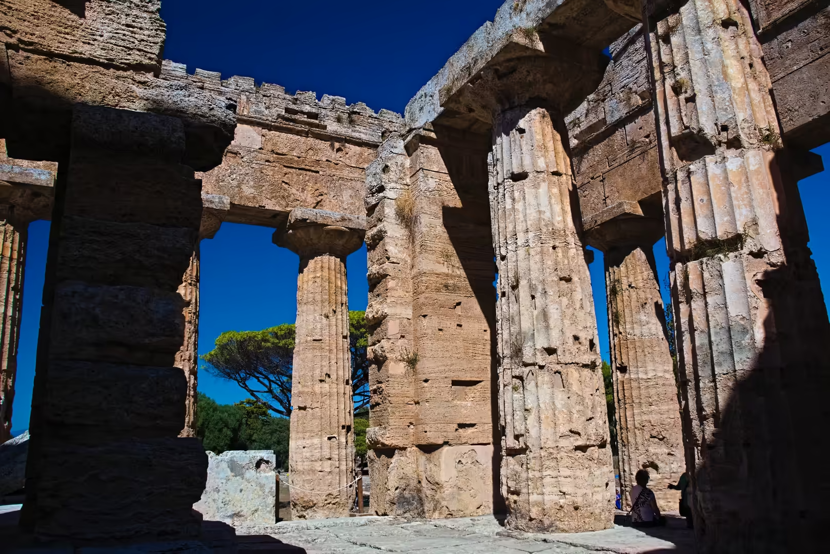
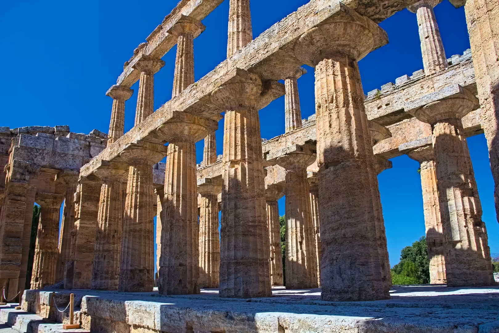
For the visitor, the geology of Paestum is most directly visible in the material of the temples themselves: the warm, porous travertine surfaces, the weathering of the columns and the low, terrace-like rise of the temple plateau all record the sedimentary history of the Sele plain. The site thus joins an archaeological narrative of more than two and a half millennia to a geological one that reaches back to the travertine deposition of the Late Pleistocene.
Things to See
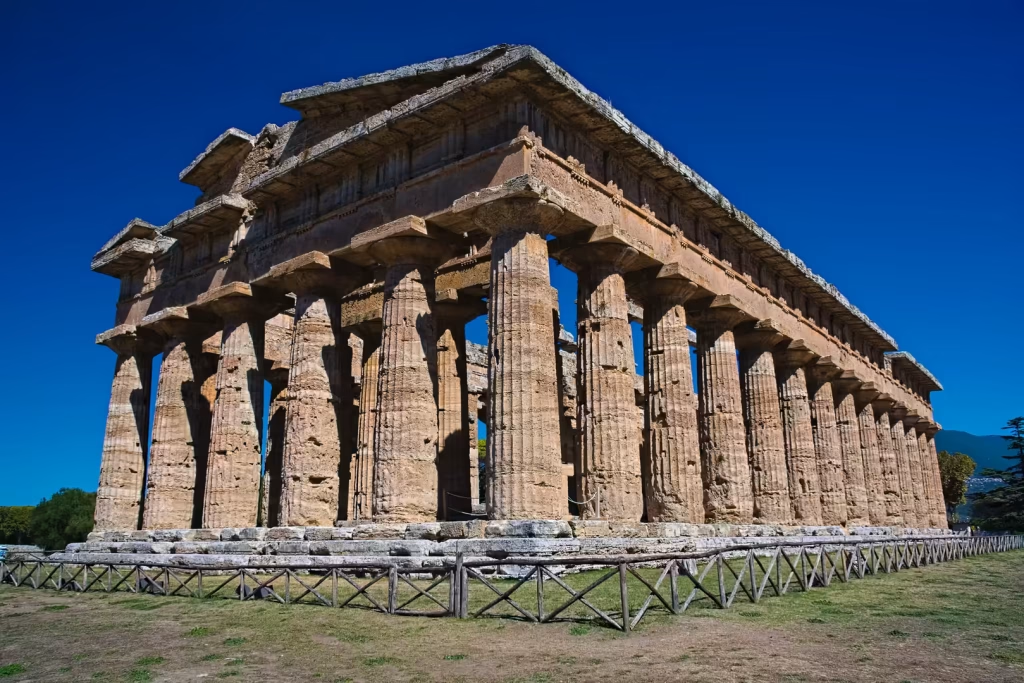
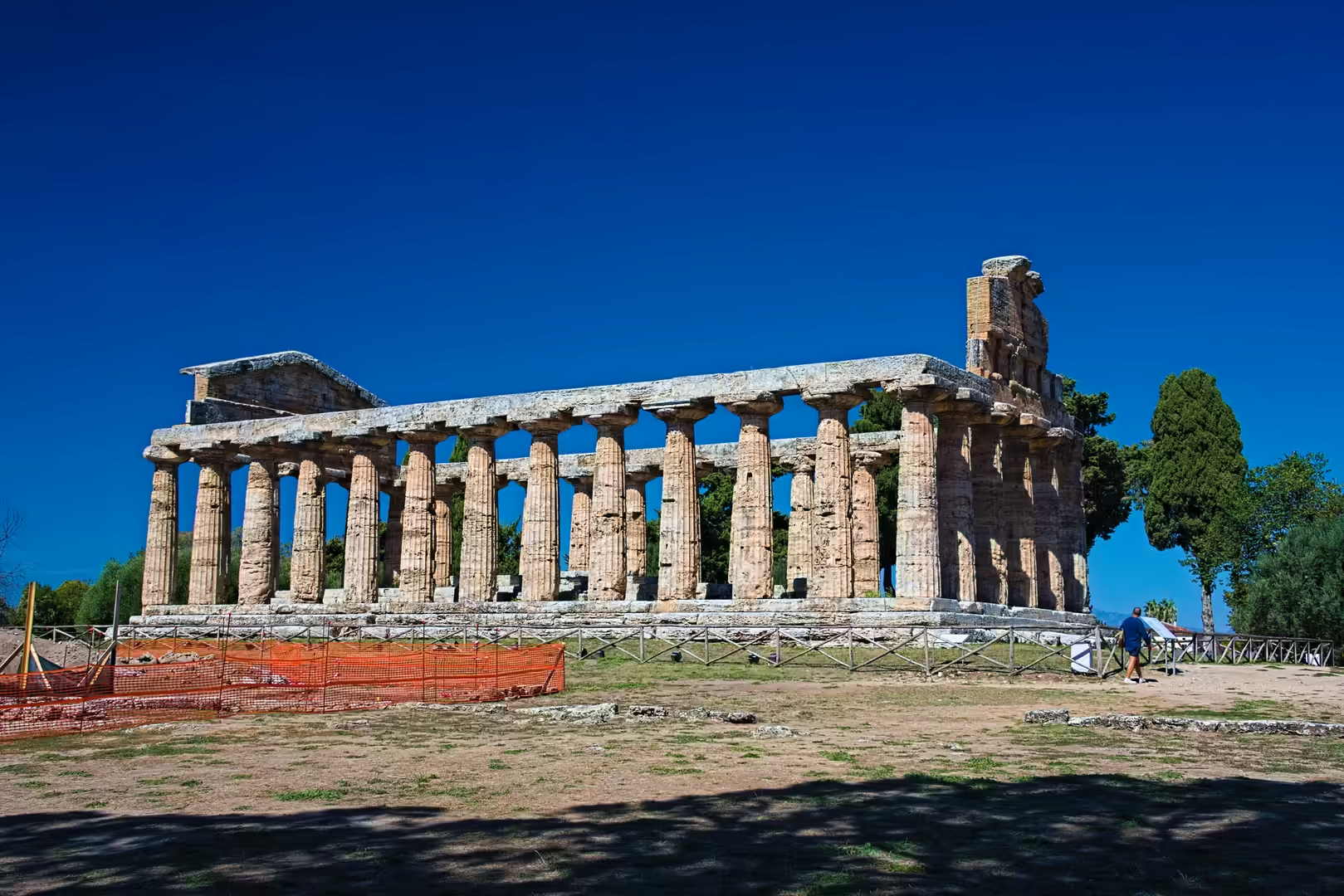
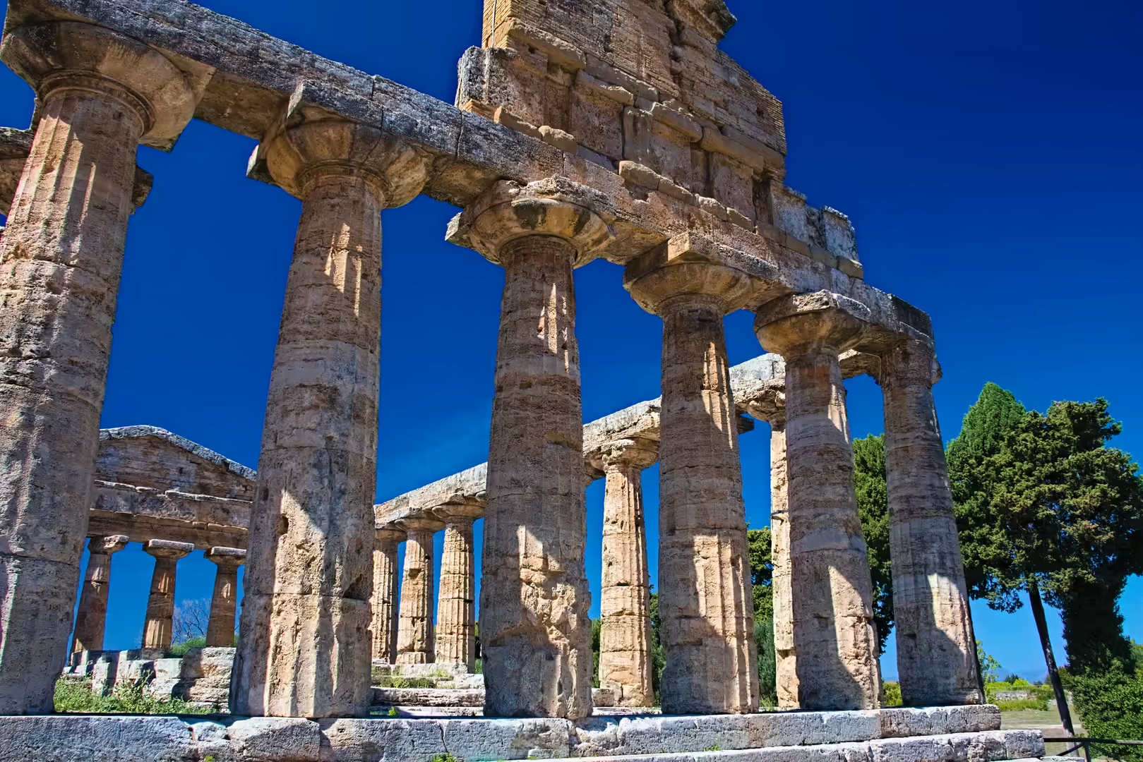
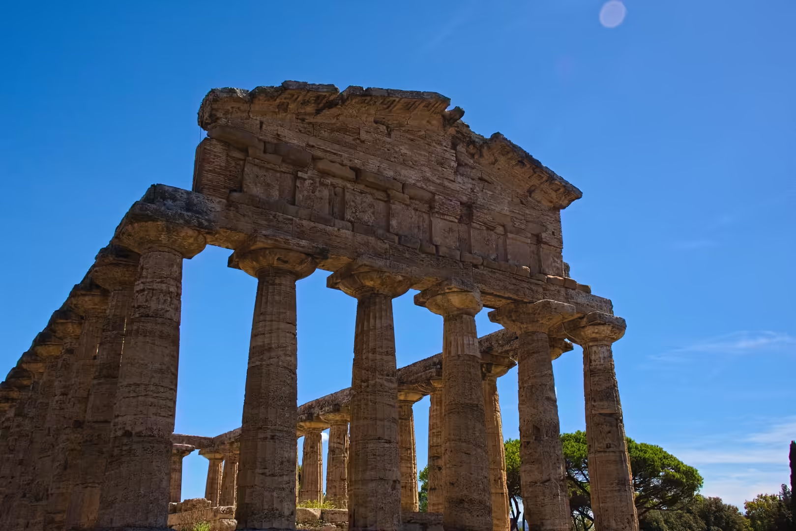
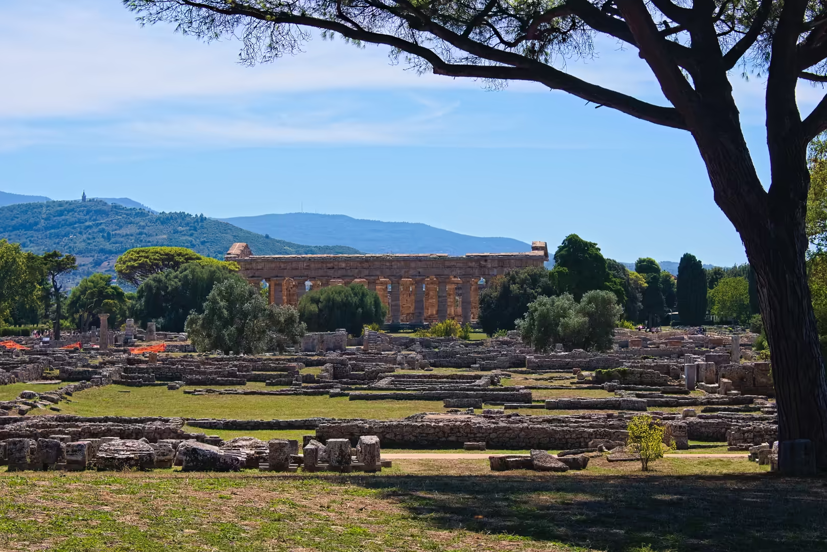
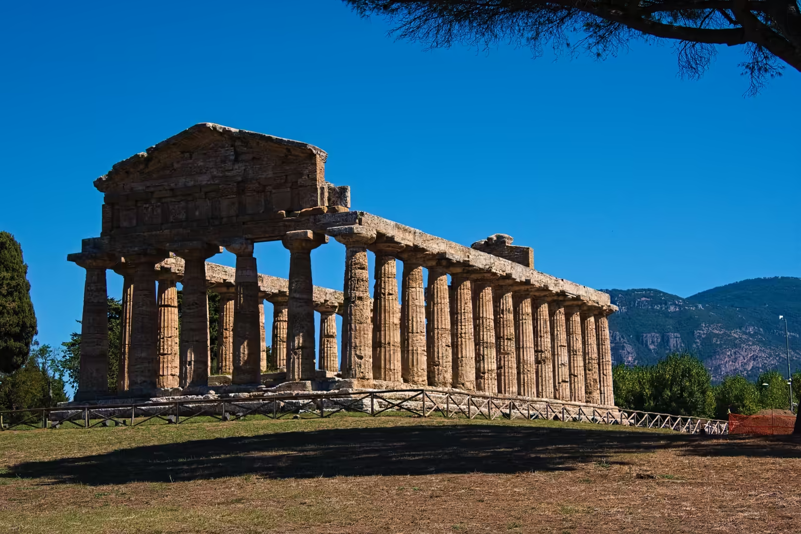
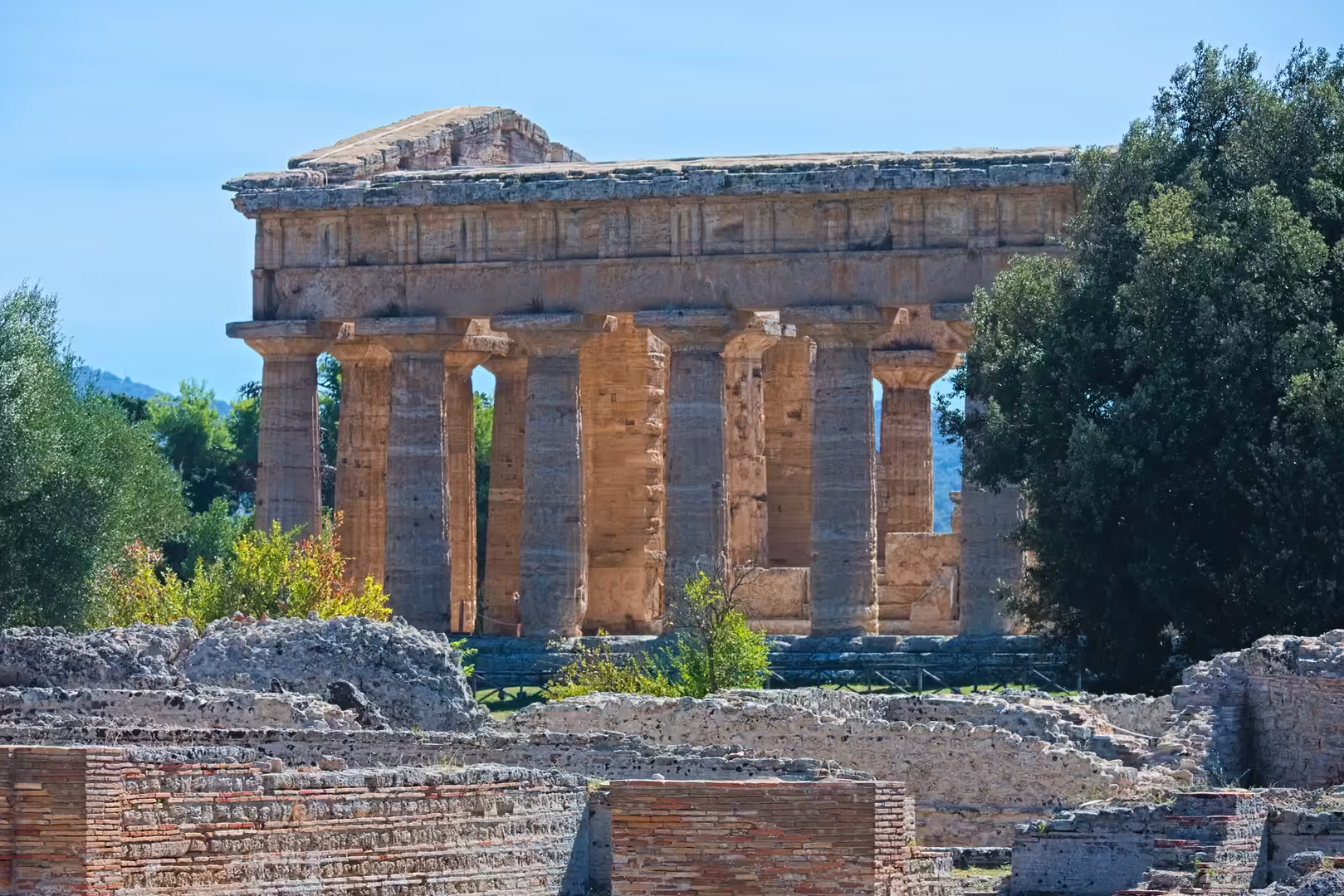
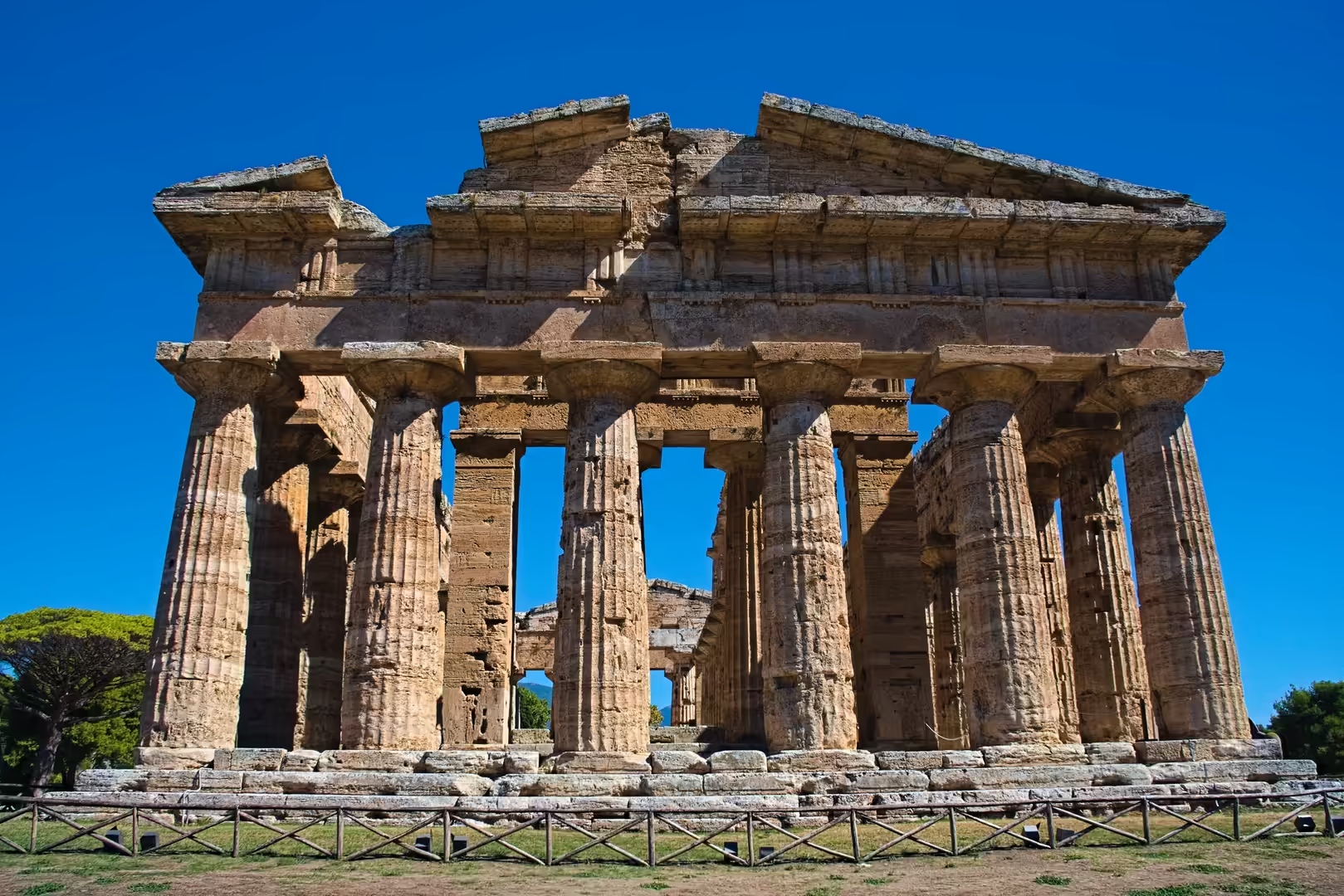
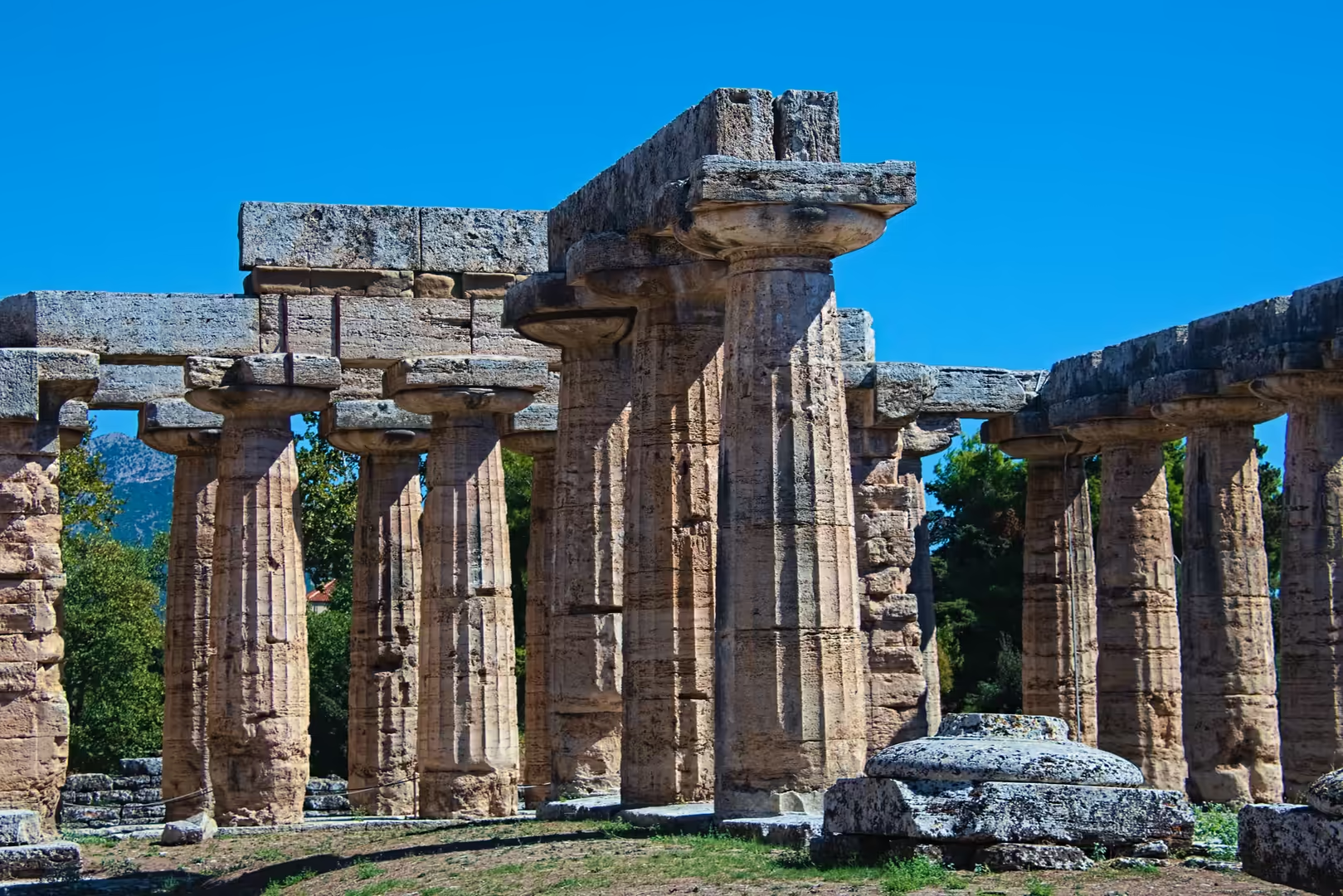
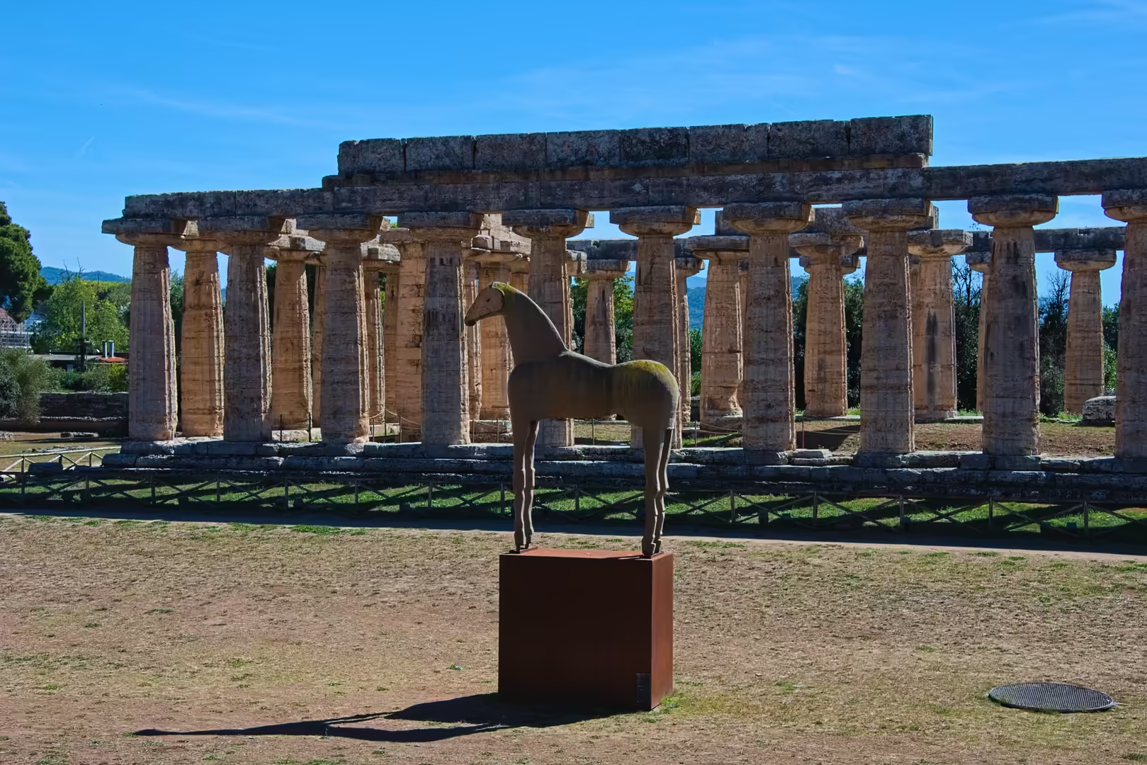
The three Doric temples are the heart of the site. The so-called Basilica, in fact the first temple of Hera, was built about 550 BC and is the oldest and southernmost of the three; its nine columns across the front, its pronounced entasis and the traces of painted stucco on the capitals mark it as an early, experimental phase of Doric architecture. The second temple of Hera, built about 460-450 BC just to the north and long misnamed the temple of Poseidon, is the largest and best-preserved of the group: six columns on the short sides and fourteen on the long sides, with twenty-four flutes per column, it represents the mature classical Doric order. On the highest point of the ancient town stands the temple of Athena, built about 500 BC in a transitional style that combines early Doric with Ionic elements; the medieval tombs cut into its floor show that the building was later used as a Christian church.
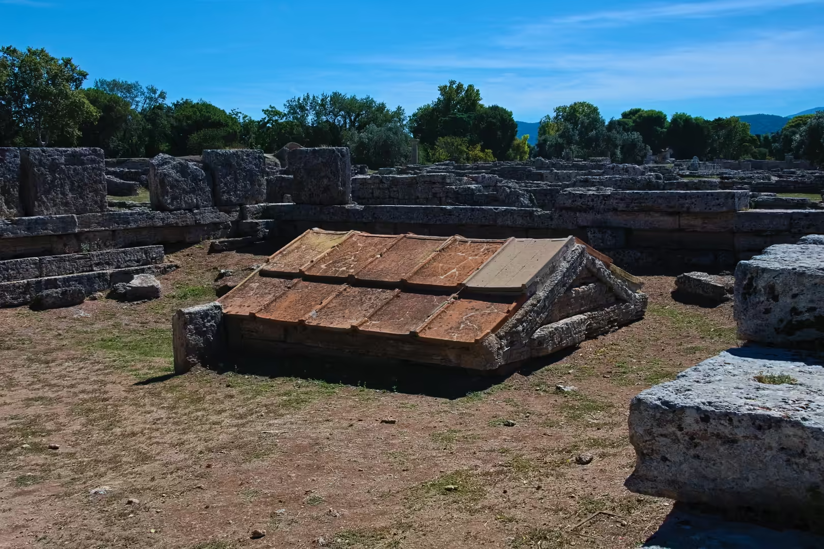
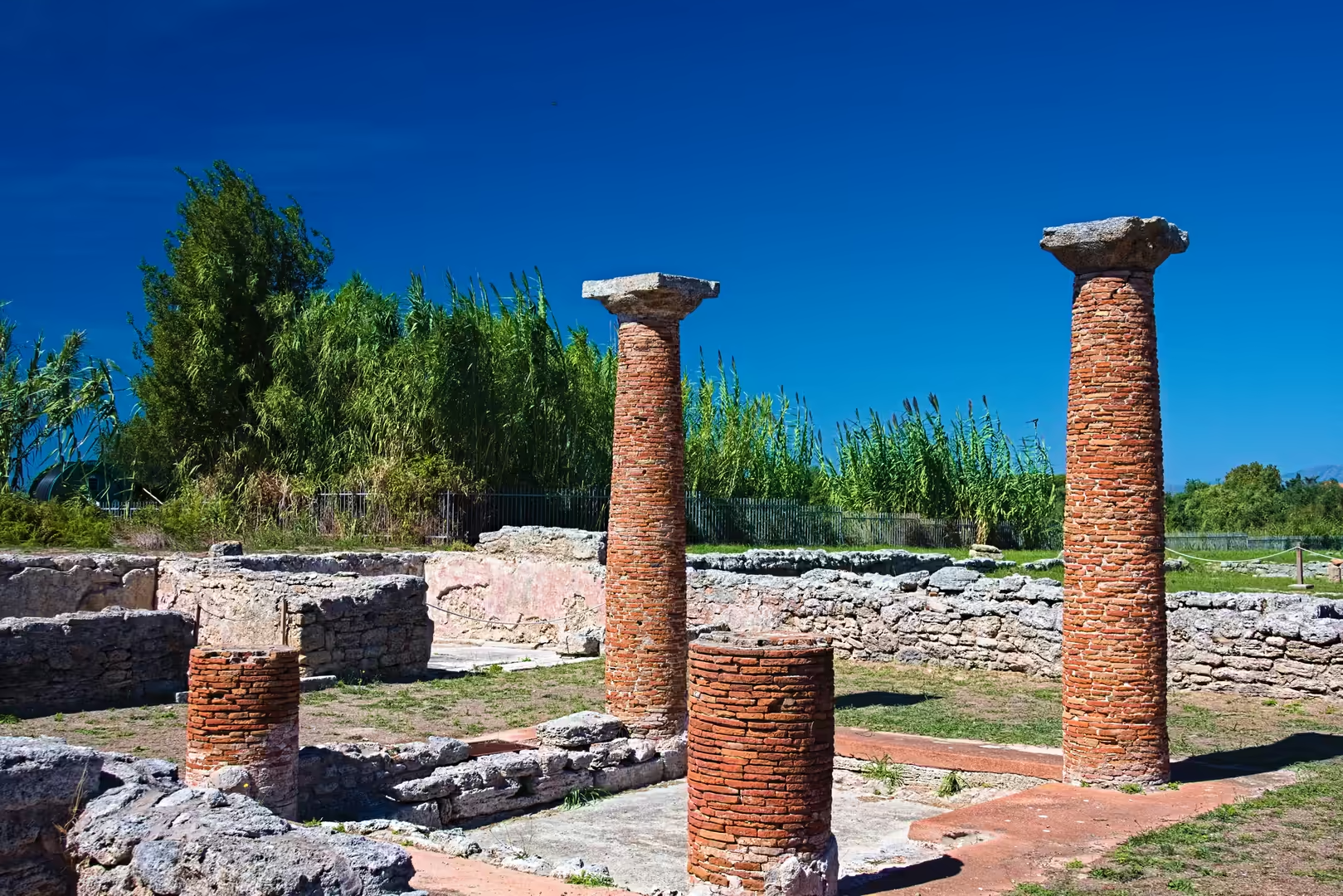
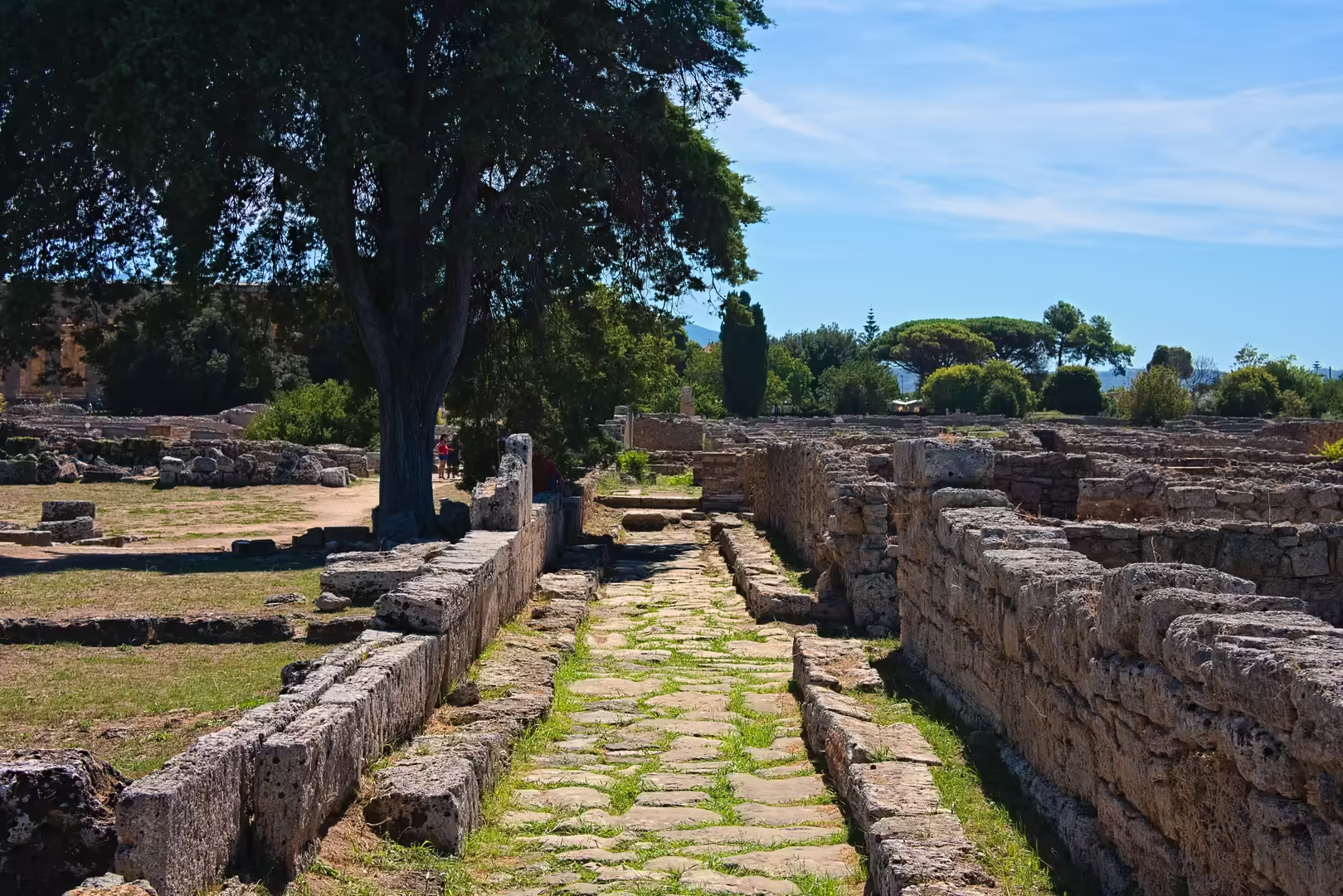
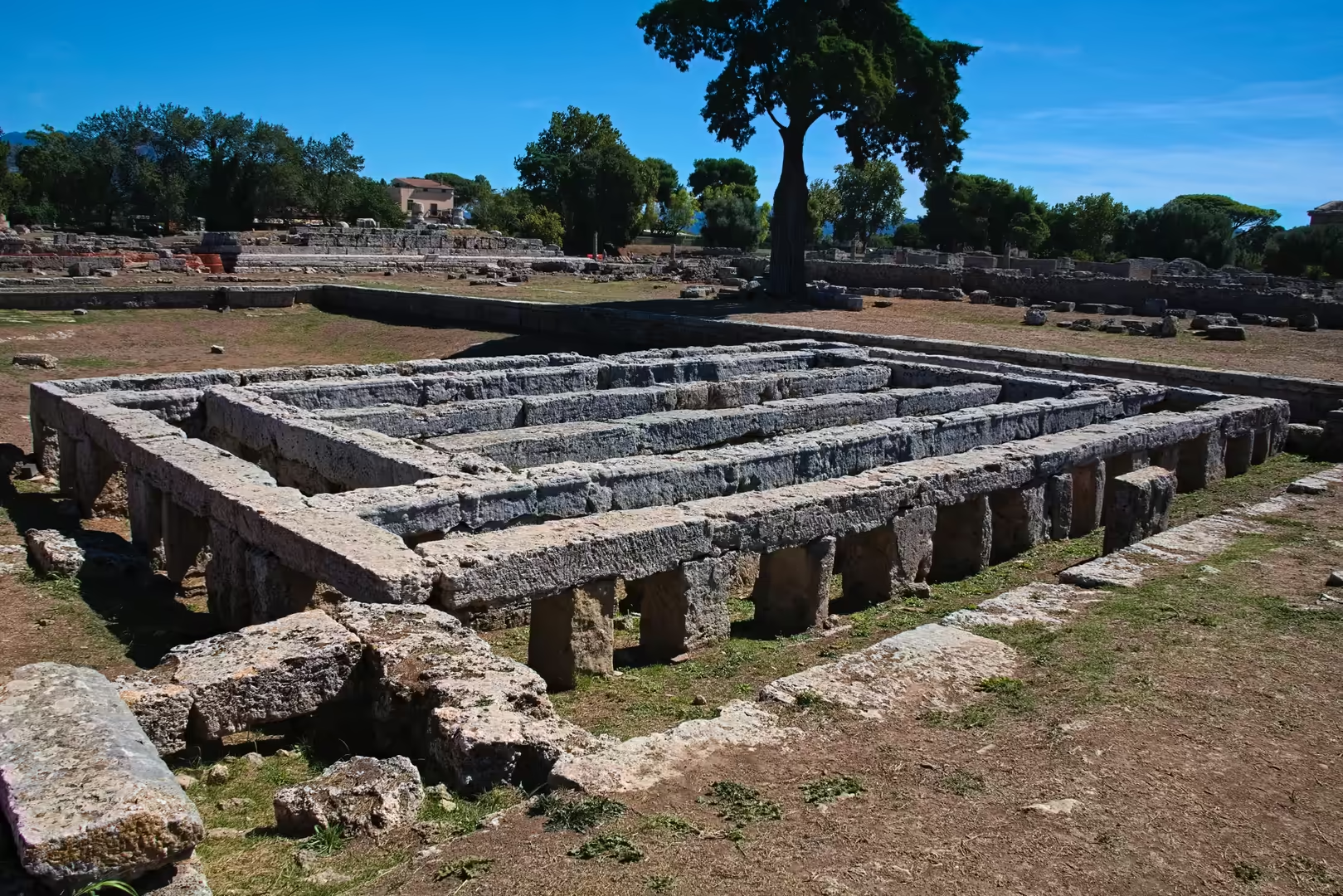
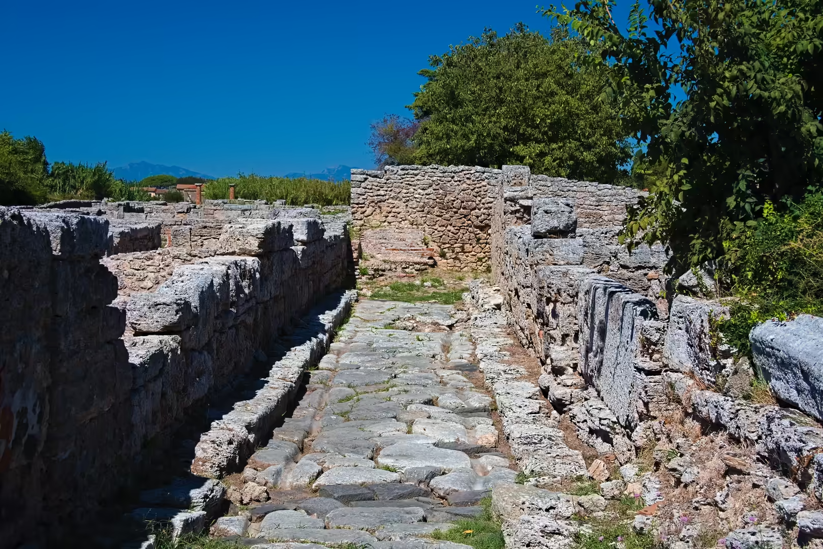
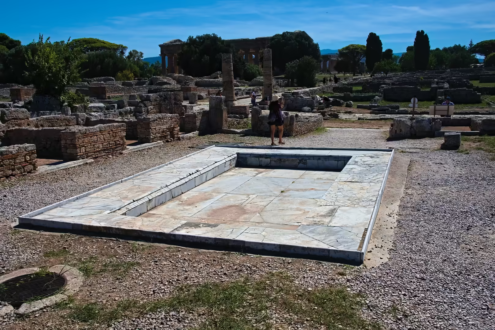
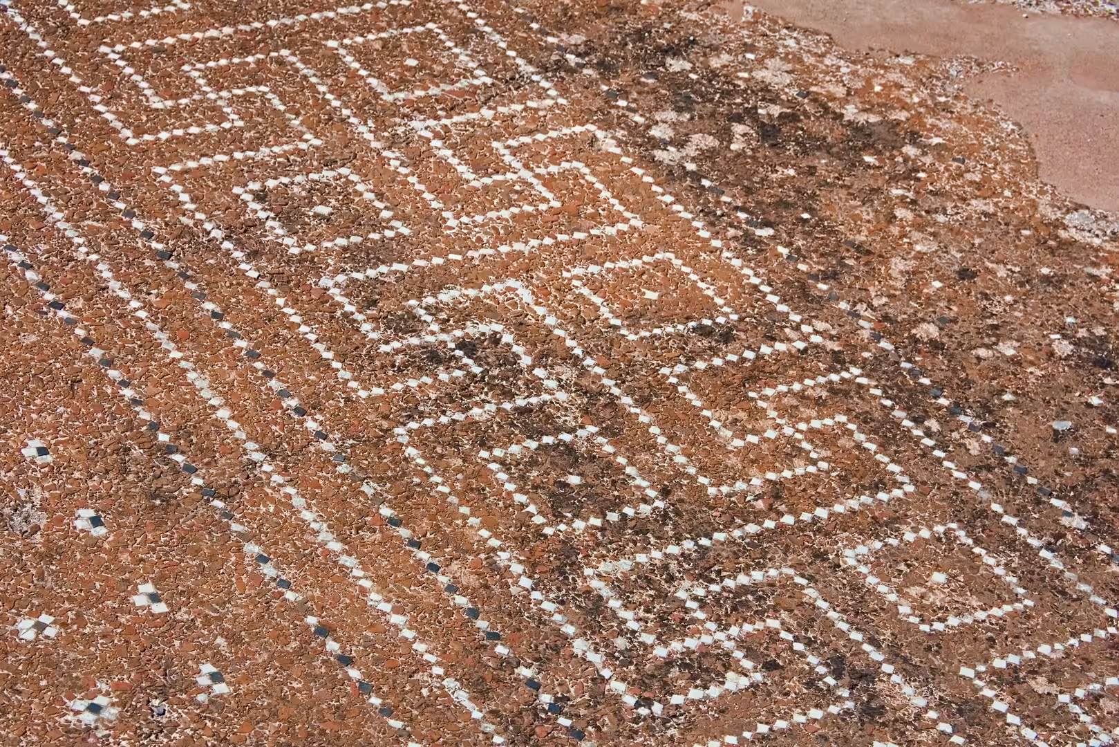
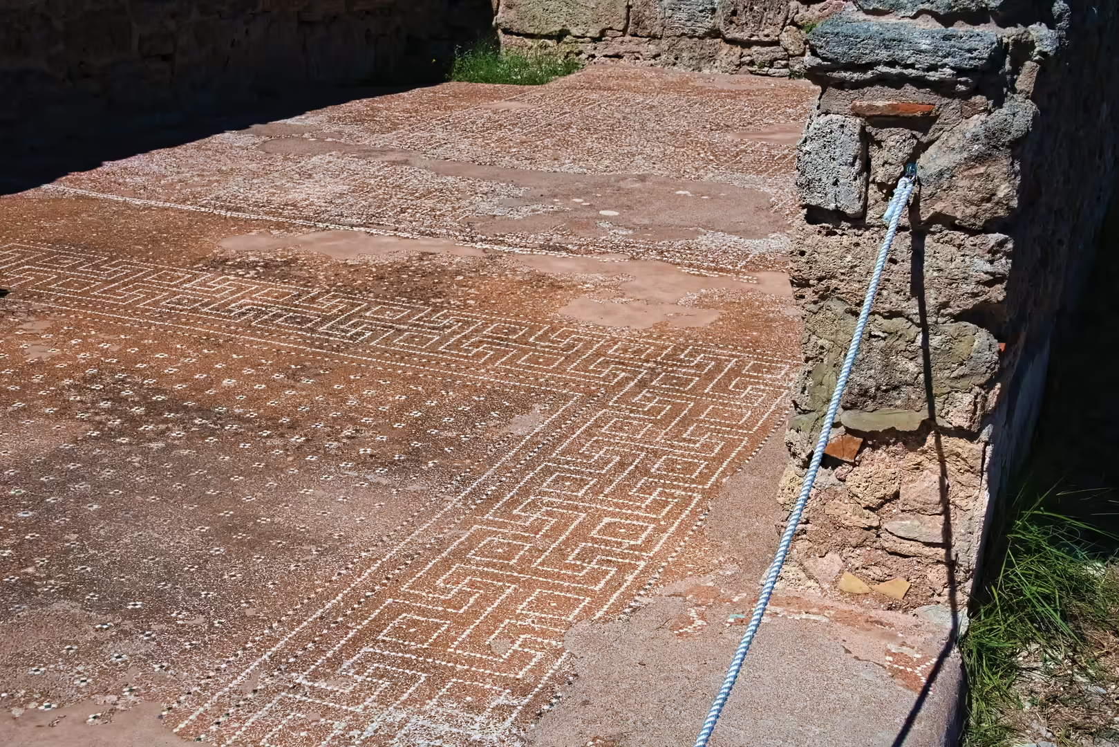
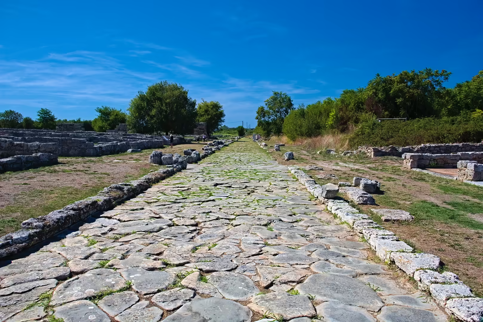
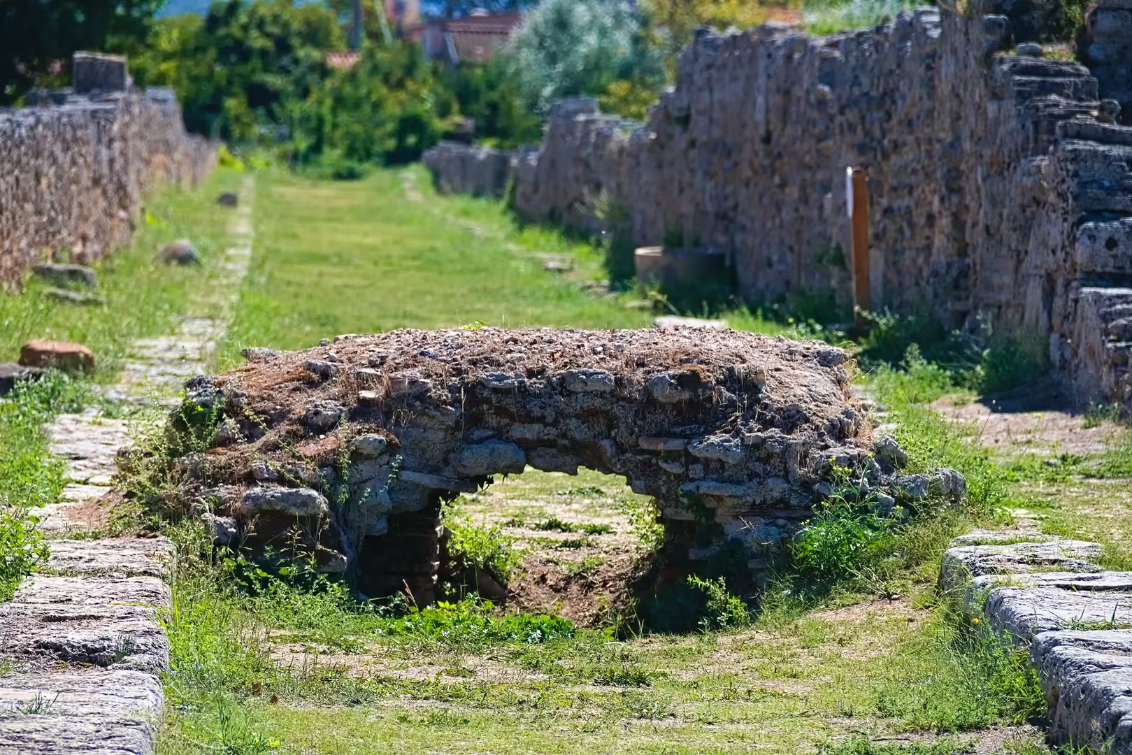
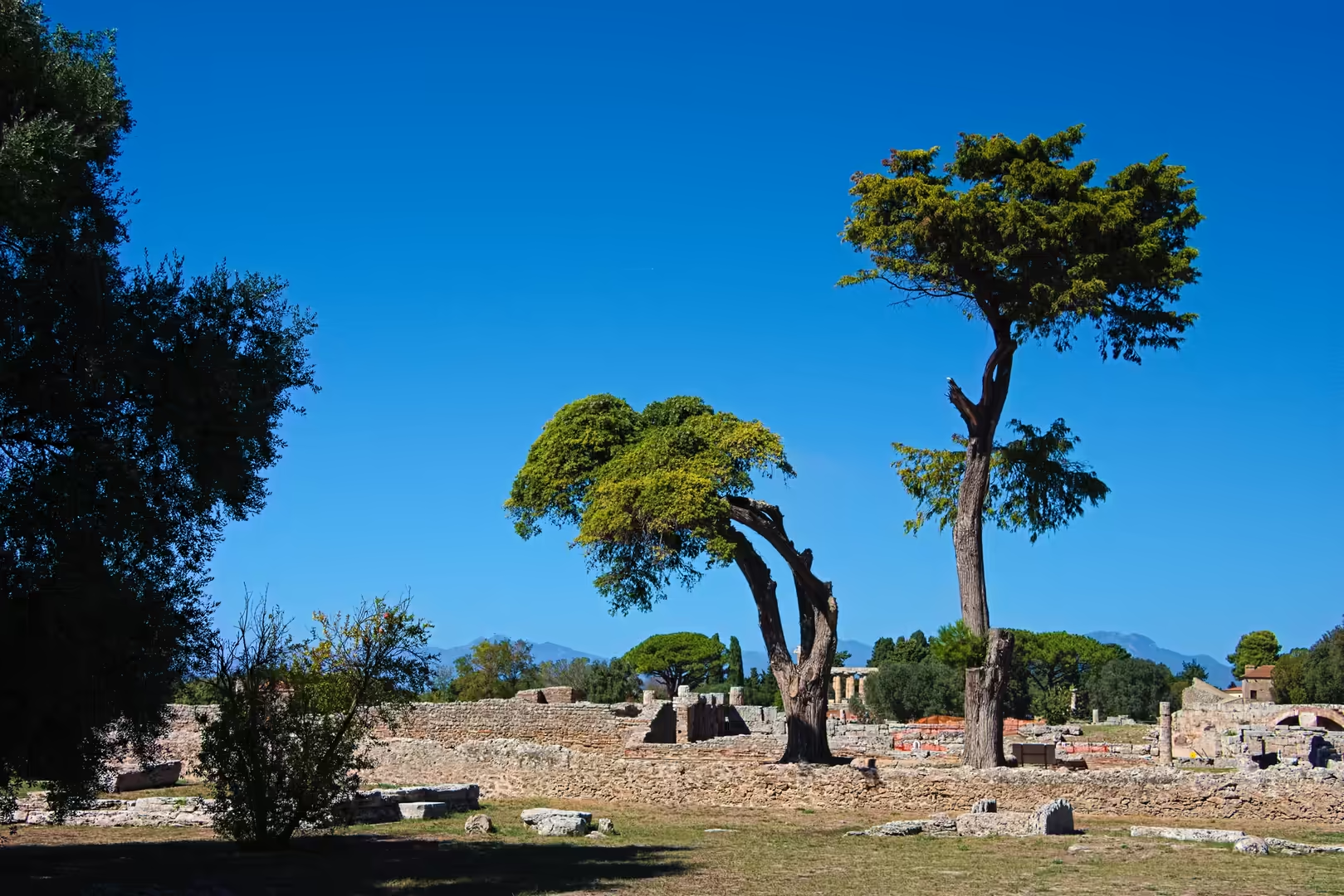
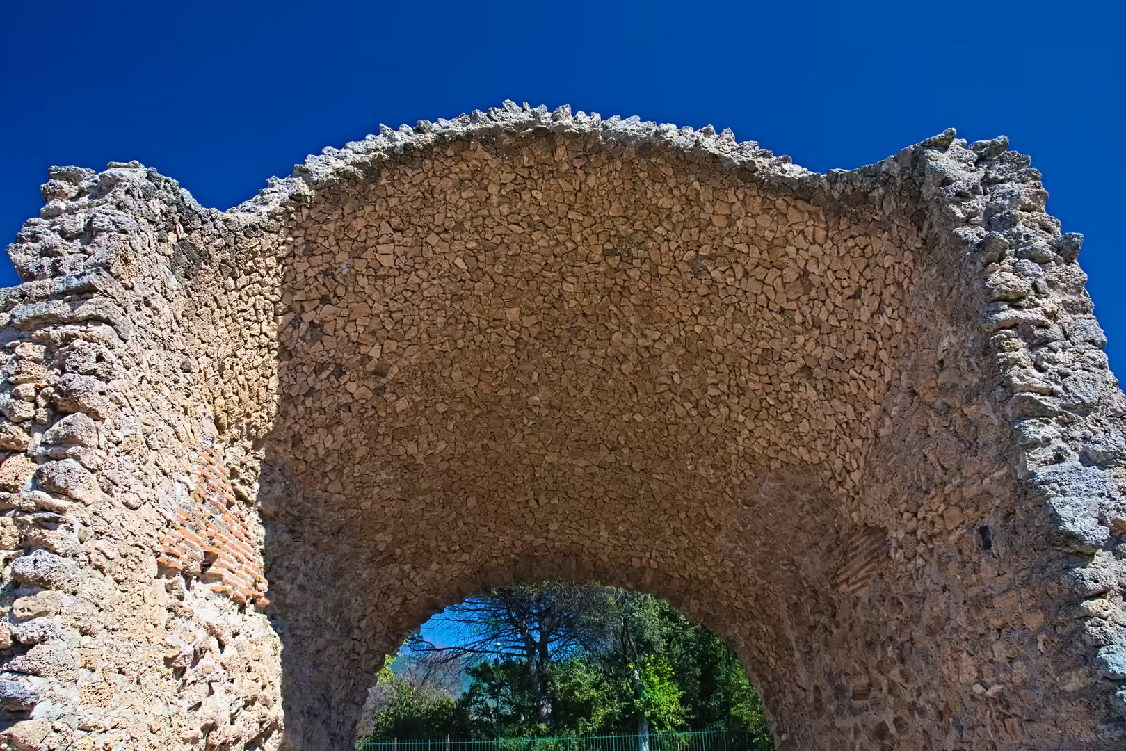
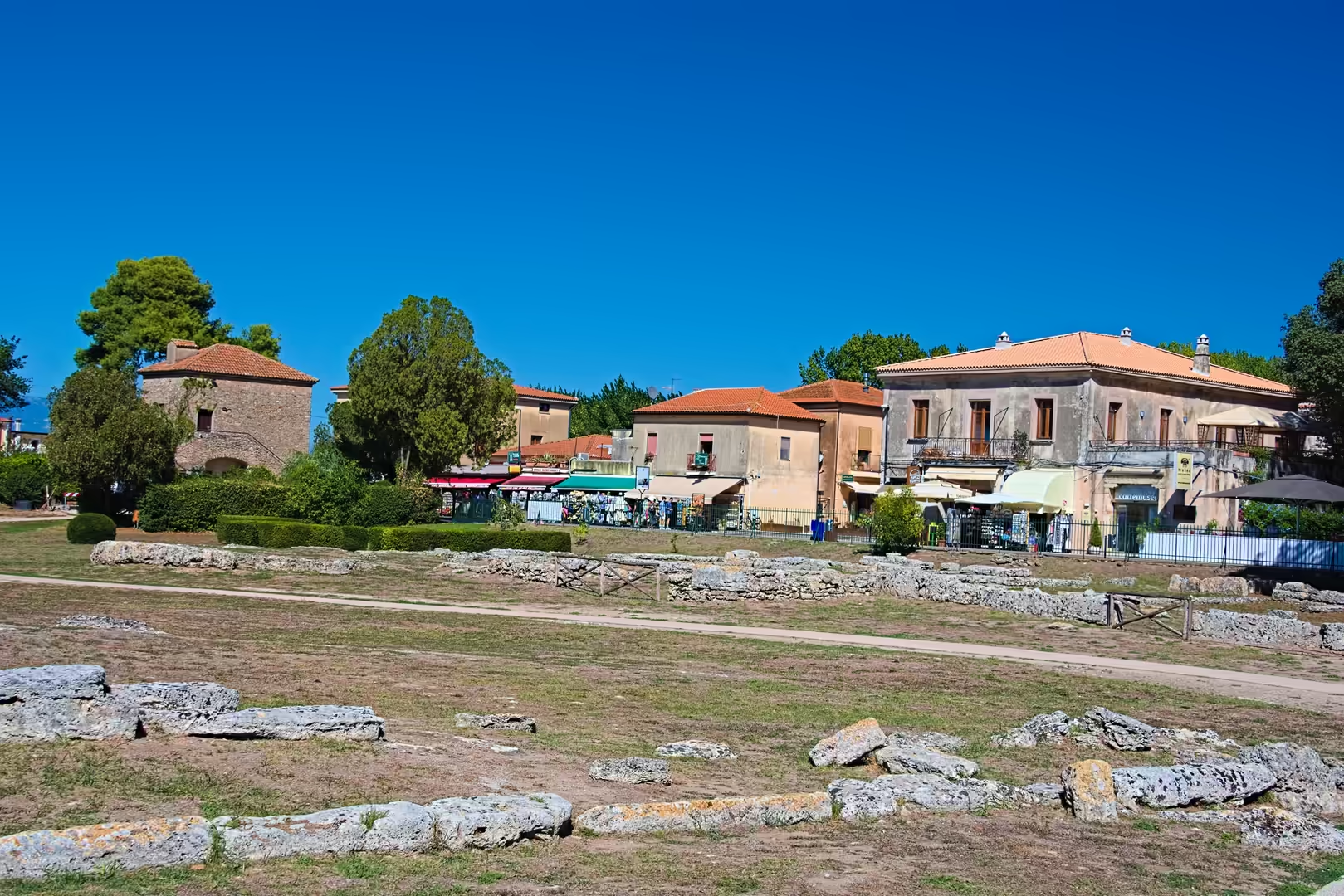
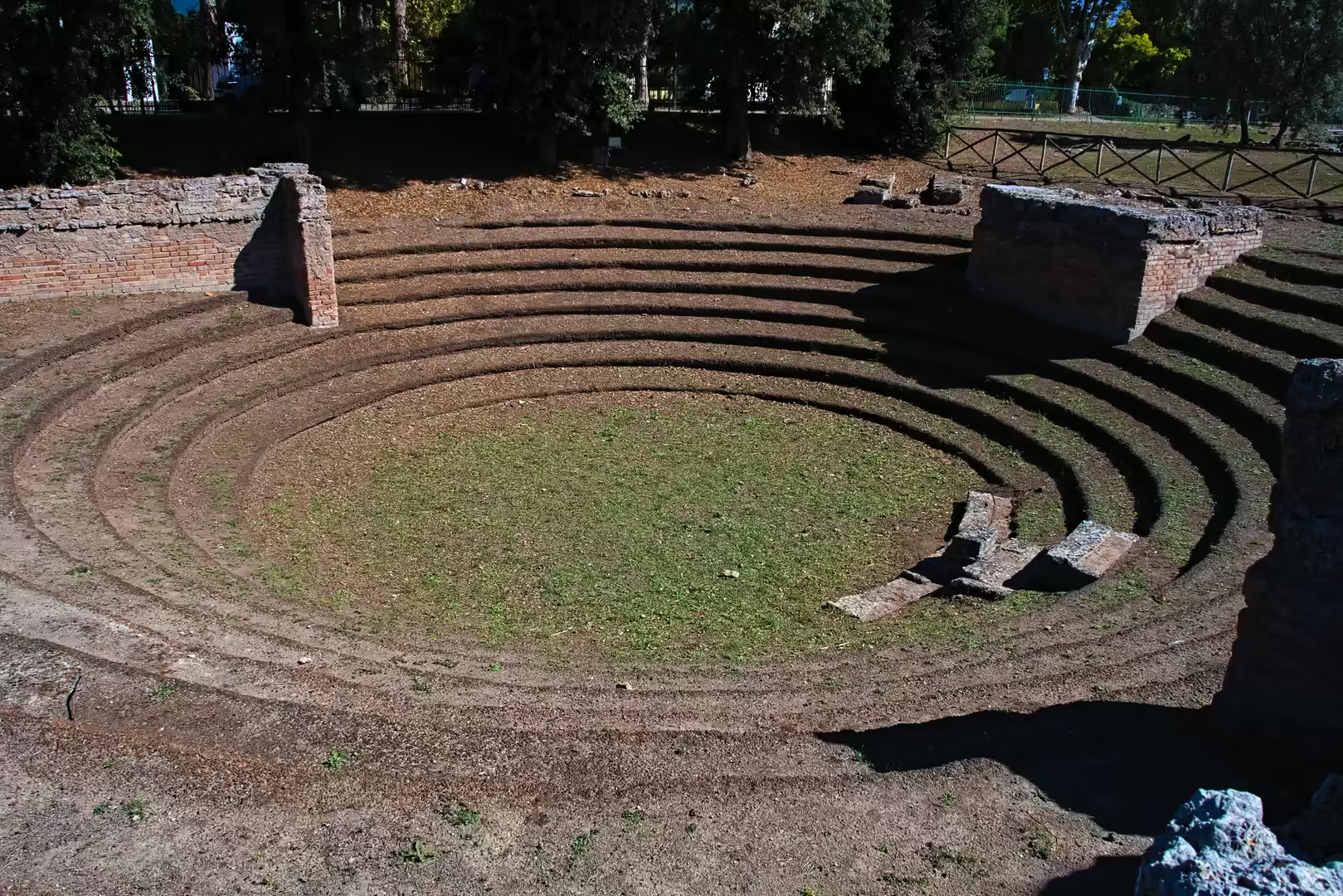
Beyond the temples, the site preserves the circuit of walls (among the best-preserved of any Greek city in Italy) with its towers and gates, and the grid of paved streets of the ancient city, including the via Sacra that runs between the two Hera temples. The Roman phase of the city is represented by the forum, the remains of the Capitolium and the amphitheatre, only partially excavated, together with the houses and public buildings of the Roman colony.
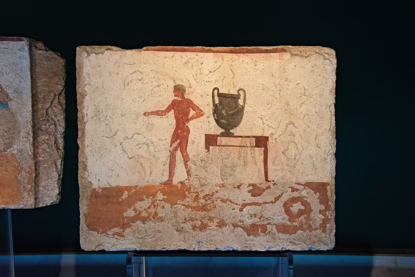
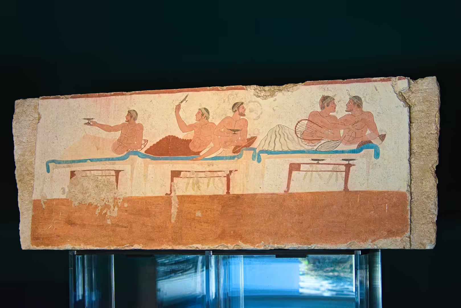
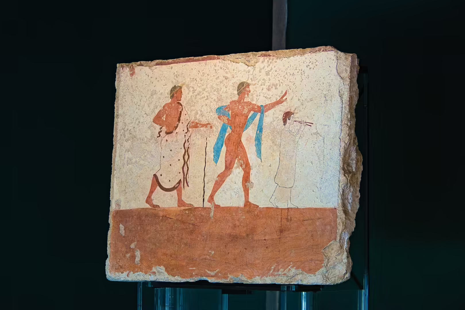
The National Archaeological Museum of Paestum, built on the edge of the site, houses the finds from the sanctuary of Hera at Foce del Sele, including the famous metopes of the sixth century BC with their reliefs of the labours of Heracles, together with painted terracotta architectural decoration from the temples, Greek and Lucanian pottery, and the contents of the Heroon, the monumental tomb discovered within the city. The supreme treasure of the museum is the Tomb of the Diver, discovered by Mario Napoli in 1968: a painted tomb of about 480-470 BC whose lid bears the unique image of a youth diving into the sea, surrounded by symposium scenes: the only surviving example of classical Greek wall painting found in situ.
The sanctuary of Hera at Foce del Sele, a few kilometres from the city at the mouth of the river, can be visited as an extension of the archaeological area. The surrounding landscape (the plain, the line of the Sele and the mountains of the Cilento closing the horizon) completes the experience of a site where architecture, history and geology meet, and where the Greek temples still stand in the fields as they have for two and a half thousand years.
References
- Amato, V., Anzalone, E., Aucelli, P. P. C., D’Argenio, B., Ferreri, V. & Rosskopf, C. M. (2012). Sedimentology and depositional history of the travertines outcropping in the Poseidonia-Paestum archaeological area. Rendiconti Lincei 23. doi.org/10.1007/s12210-011-0155-z
- Napoli, M. (1970). La tomba del tuffatore: la scoperta della grande pittura greca. Bari: De Donato.
- Pedley, J. G. (1990). Paestum: Greeks and Romans in Southern Italy. London: Thames & Hudson.
- Virgil. Georgics, Book IV (the roses of Paestum).
- UNESCO World Heritage Centre (1998). Cilento and Vallo di Diano National Park with the Archaeological Sites of Paestum and Velia, and the Certosa di Padula. World Heritage List, ref. 842. whc.unesco.org/en/list/842
- Wikipedia contributors (2026). Paestum. en.wikipedia.org/wiki/Paestum
- Wikipedia contributors (2026). First Temple of Hera (Paestum). en.wikipedia.org/wiki/First_Temple_of_Hera_(Paestum)
- Wikipedia contributors (2026). Second Temple of Hera (Paestum). en.wikipedia.org/wiki/Second_Temple_of_Hera_(Paestum)
- Wikipedia contributors (2026). Temple of Athena (Paestum). en.wikipedia.org/wiki/Temple_of_Athena_(Paestum)
- Wikipedia contributors (2026). Tomb of the Diver. en.wikipedia.org/wiki/Tomb_of_the_Diver
- Wikipedia contributors (2026). Foce del Sele. en.wikipedia.org/wiki/Foce_del_Sele
- Wikipedia contributors (2026). Sele (river). en.wikipedia.org/wiki/Sele_(river)
- Wikipedia contributors (2026). Cilento and Vallo di Diano National Park. en.wikipedia.org/wiki/Cilento_and_Vallo_di_Diano_National_Park
- Wikipedia contributors (2026). Lucanians. en.wikipedia.org/wiki/Lucanians
- Wikipedia contributors (2026). Agropoli. en.wikipedia.org/wiki/Agropoli