Day 6 - Death Valley National Park
Journal Notes
General
Death Valley National Park straddles the California and Nevada border, east of the Sierra Nevada, and it is the largest national park in the contiguous United States as well as the hottest, driest and lowest of all the national parks in the country. More than 93 per cent of it is designated wilderness. The park boundary takes in Death Valley itself together with the northern section of Panamint Valley, the southern part of Eureka Valley and most of Saline Valley, and it protects the north western corner of the Mojave Desert where it meets the arid Great Basin, an environment of salt flats, sand dunes, badlands, canyons and mountain ranges.
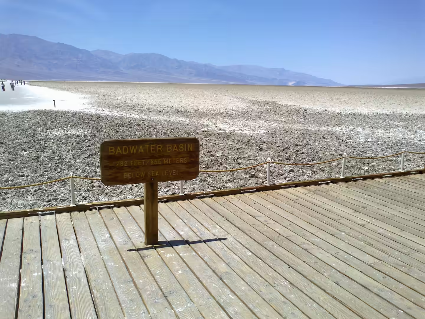
The lowest ground in the park is Badwater Basin, the lowest point in North America at 86 metres below sea level and the second lowest point in the Western Hemisphere. Above it the Panamint Range forms the western wall of the valley, a fault block range running north to south for about 100 kilometres, separating Death Valley from the Panamint Valley beyond and rising to Telescope Peak, its highest summit. Furnace Creek, where the visitor centre, museum and park headquarters stand, had a population of 136 at the 2020 census and lies below sea level itself, with the Timbisha community living on their reservation in the same village.
Heat is the governing fact of a visit. On the afternoon of 10 July 1913 the United States Weather Bureau recorded a high of 134 degrees Fahrenheit at Greenland Ranch, the site of what is now Furnace Creek, and that reading still stands as one of the highest air temperatures ever measured anywhere on earth; a weather station had been kept at the ranch since 1891. Furnace Creek also holds the record for consecutive days above 120 degrees, 43 of them from 6 July to 17 August 1917. Walking is best finished by mid morning in summer, water should be carried in quantity, and the shade of a canyon or a building is worth planning around.
History
The Timbisha Shoshone have lived in the Death Valley region for more than a thousand years. Their name means rock paint, and the band was formerly known as the Panamints, with a Uto-Aztecan language that linguists estimate fewer than 200 people ever spoke; the 2010 census recorded 124 residents in the village. Euro-Americans first met the Timbisha during the California Gold Rush of 1849, and the incomers quickly moved on to the goldfields, renaming the Shoshone homeland Death Valley. Land was secured slowly and in small parcels: the Bureau of Indian Affairs helped Hungry Bill patent 160 acres in a canyon bordering the valley in 1908, and a small rancheria called Indian Ranch was established to the east in 1928.
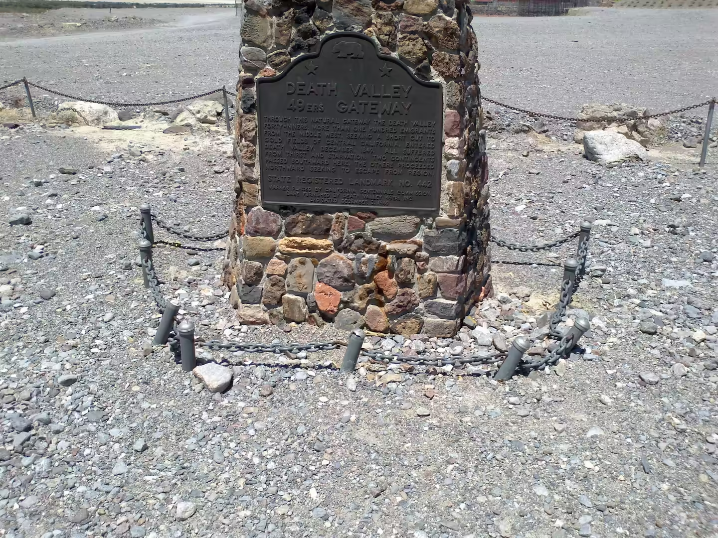
The valley’s grim name comes from a party of emigrants, not from a massacre. In 1849 a group of pioneers from the eastern United States, travelling overland to the goldfields and not trusting the route that had destroyed the Donner party three years earlier, organised their wagons at Salt Lake City and struck south west through the Great Basin. Lost and short of water, they entered the valley, killed their oxen and burned the wagons at the place now called Burnt Wagons, and walked out over the Panamint Range; only one of their number died there. The site is a California Historical Landmark, number 441, and the group is remembered as the Death Valley ’49ers.
Mining and then protection followed the emigrants. The Harmony Borax Works established Greenland Ranch in 1883, naming it after the green alfalfa fields the company planted to feed its teams, and the ranch was renamed Furnace Creek in 1933; further north, the Wildrose Charcoal Kilns were built in 1877 to supply smelters in the Argus Range, and a mining town stood in the Panamint Range from 1873. The valley was declared a national monument in 1933 and became a national park with a much larger boundary in 1994. UNESCO included it as the principal feature of its Mojave and Colorado Deserts Biosphere Reserve in 1984, and in 2013 the park was designated a dark sky park.
The Timbisha band has always been small. Linguists estimate that fewer than 200 people ever spoke Panamint Shoshone, and the estimates for the wider population are correspondingly modest: Alfred Kroeber put the combined 1770 population of the Timbisha and the Chemehuevi at about 1,500, and by 1910 he estimated the two groups together at 500. Land was secured late and in small parcels, and the creation of the national monument in 1933 was for decades a source of grievance, since it was done without regard for the people living inside it; that history has been examined in detail by Crum and by Fowler.
The Timbisha did not leave the valley when the monument was created. They built much of what visitors now use: members of the tribe provided many of the artisans and builders who constructed the original Fred Harvey Company resort buildings, the Indian Village and the park service structures at Furnace Creek, and they make up the majority of that village’s permanent population on their own reservation.
Geology
Death Valley is a basin in the Basin and Range Province, the vast physiographic region of the inland western United States and north western Mexico that is defined by an alternating pattern of narrow faulted mountain chains and flat arid valleys. The topography is the result of tectonic extension that began around 17 million years ago in the early Miocene, and it continues: the ranges of the province include the Panamint Range, the White Mountains and the Snake Range among many others. Its highest point is White Mountain Peak in California and its lowest is Badwater Basin, both within reach of the same view from the Panamint ridge, where Mount Whitney above the Owens Valley and the salt pan below can be seen at the same time.
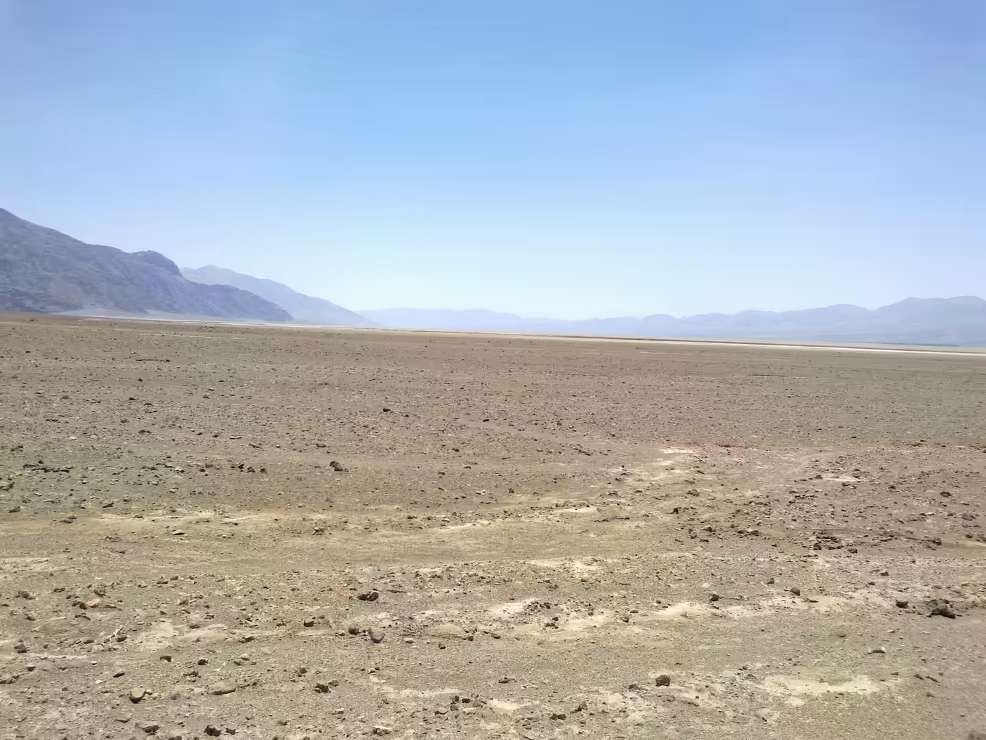
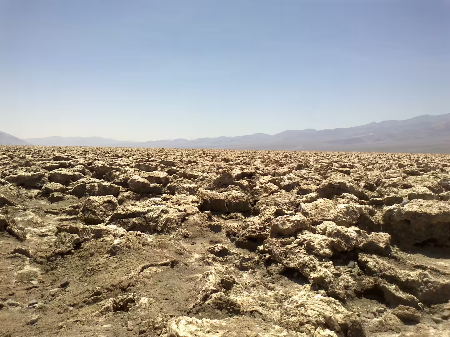
Badwater Basin itself is an endorheic basin, meaning that it has no outlet to the sea. The name comes from a small spring fed pool of undrinkable water beside the road, made salty by the accumulation of minerals in the closed basin, and the pool supports pickleweed, aquatic insects and the Badwater snail. Where the water is not normally at the surface, repeated cycles of freezing and thawing and of evaporation push the thin salt crust into the hexagonal shapes that are the basin’s best known feature. The true lowest point lies a few miles to the west and shifts with rainfall and evaporation, and the flats are hazardous to cross because the white crust often covers soft mud.
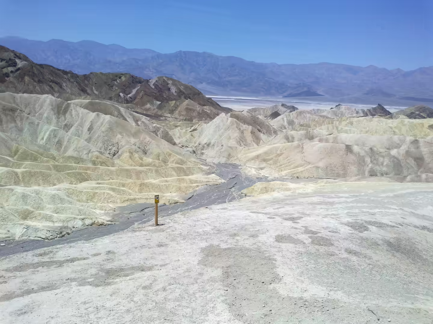
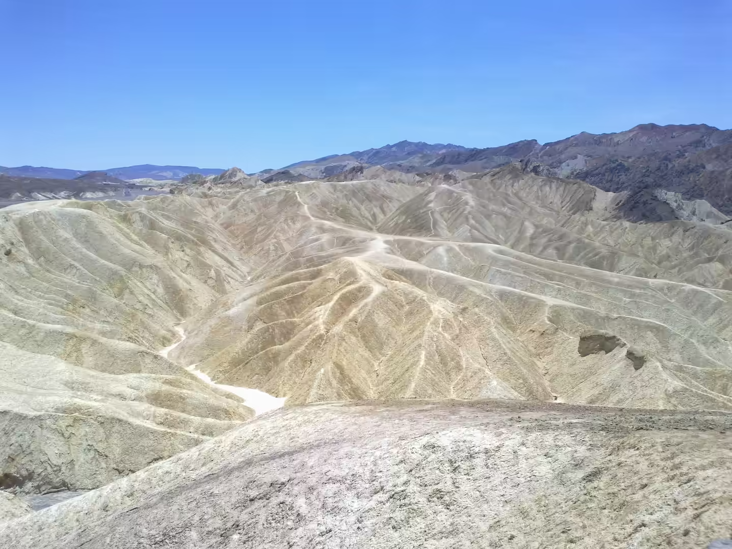
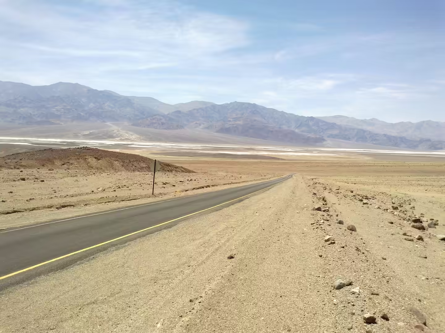
The basin has been wetter than it is now. Through the wetter phases of the Quaternary, streams from the surrounding mountains filled Death Valley and formed Lake Manly, which at its greatest extent was roughly 130 kilometres long before it dried back to the present salt pan. Those lake beds and the gravels washed down from the ranges are what the road crosses on its way to the basin, and the same sediments, cut by flash floods into ridges and gullies, form the badlands and dry washes that make up much of the northern part of the park.
Volcanic activity left one of the park’s strangest landmarks. Ubehebe Crater, at the northern tip of the Cottonwood Mountains, is a kilometre wide and more than 200 metres deep, and it formed when magma rose close to the surface along a fault at the western base of Tin Mountain and the heat turned groundwater to steam, throwing pulverised old rock and fresh magma across the alluvial fan. Estimates of its age have ranged from 2,000 to 7,000 years, and evidence published in 2012 suggested it may be as young as 800 years, though that figure is a lower bound. Sand dunes of the Mesquite Flat type form where eroded material from the same ranges is sorted and carried by wind across the valley floor.
The heat record itself has been questioned as well as celebrated. The 1913 reading at Greenland Ranch is accepted by the World Meteorological Organization as the highest air temperature ever recorded on earth, but a review published in Oxford Open Climate Change in 2025 argues that the observation was made with equipment and siting that would not meet modern standards, and that the true record for the site, while still extreme, may be lower. The modern measurements remain formidable: Furnace Creek kept a weather station from 1891, and its averages for the ninety five years from 1911 to 2006 make it one of the hottest places on the planet. Badwater Basin, for its part, is the lowest point in North America at 86 metres below sea level, though it is not the lowest in the Western Hemisphere, a distinction that belongs to Laguna del Carbón in Argentina at 105 metres below sea level.
The western wall of the valley is a fault block with a name of its own. The Panamint Range runs north to south for about 100 kilometres through Inyo County, forming the western side of Death Valley and separating it from the Panamint Valley beyond. The name was applied in 1860 by Darwin French during his search for the Gunsight Lode, and it comes from Paiute or Koso words for water and person. From certain vantage points in the range both Mount Whitney above the Owens Valley and Badwater Basin in the valley below can be seen at the same time, one of the few places where the highest and lowest ground in the contiguous United States are visible together.
Things to See
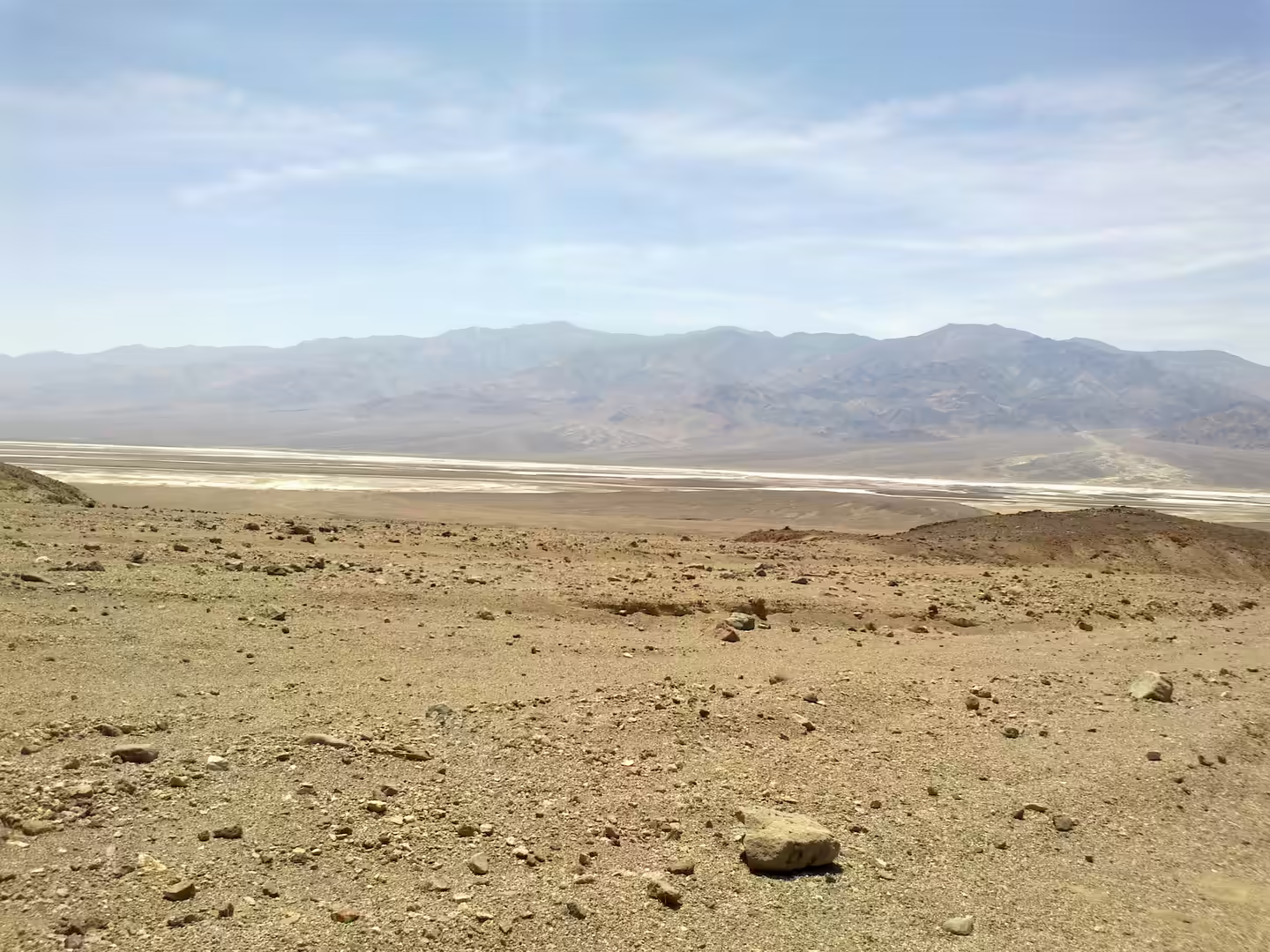
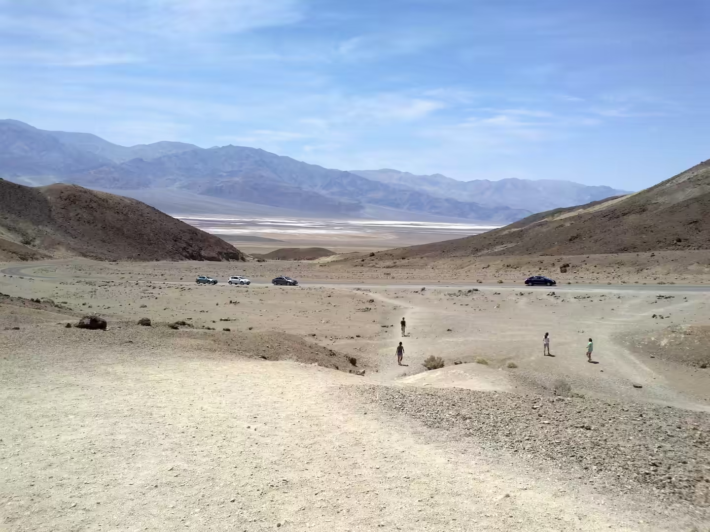
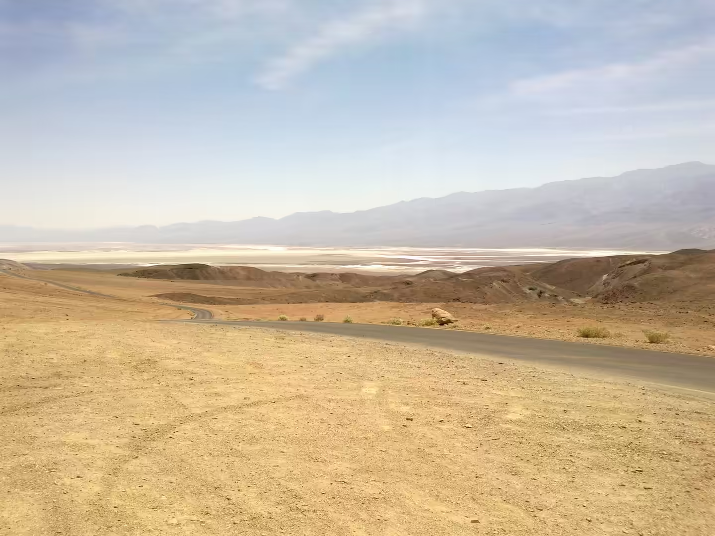
Badwater Basin is the first place to go, and the best time is early morning or late afternoon, when the salt polygons show their edges. The sign marking the low point stands beside the road rather than at the lowest ground, and the walk out onto the flats is short but exposed; the crust is thin in places and the mud beneath it is soft, so the paths that others have taken are worth following. From the overlook higher on the western side, the whole basin and the Panamint wall behind it can be taken in at once, and the road down into the valley is visible for most of its length.
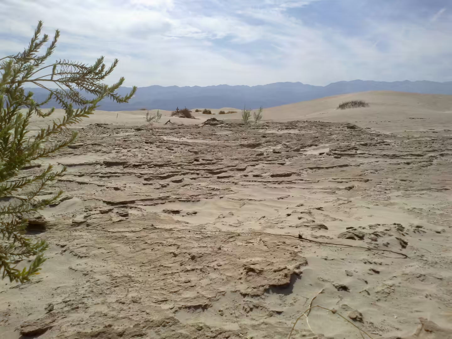
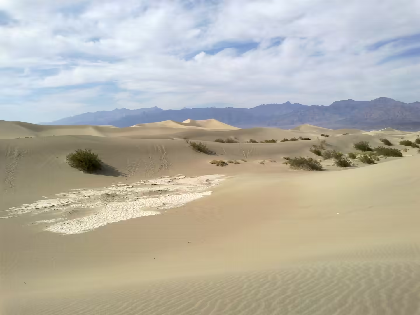
The badlands and the dunes are the second subject. Ridges of pale, deeply gullied sediment rise between the roads in the northern half of the park, cut by flash floods into shapes that change every year, and the dry washes between them carry water only after a storm. The sand dunes at Mesquite Flat lie close to the road and are easy to walk on, with the crests moving slowly with the wind. Both are at their best in low light, when the relief of the surface is at its most visible.
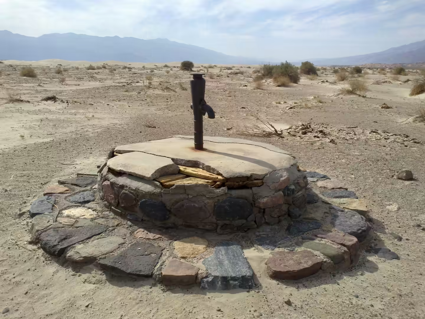
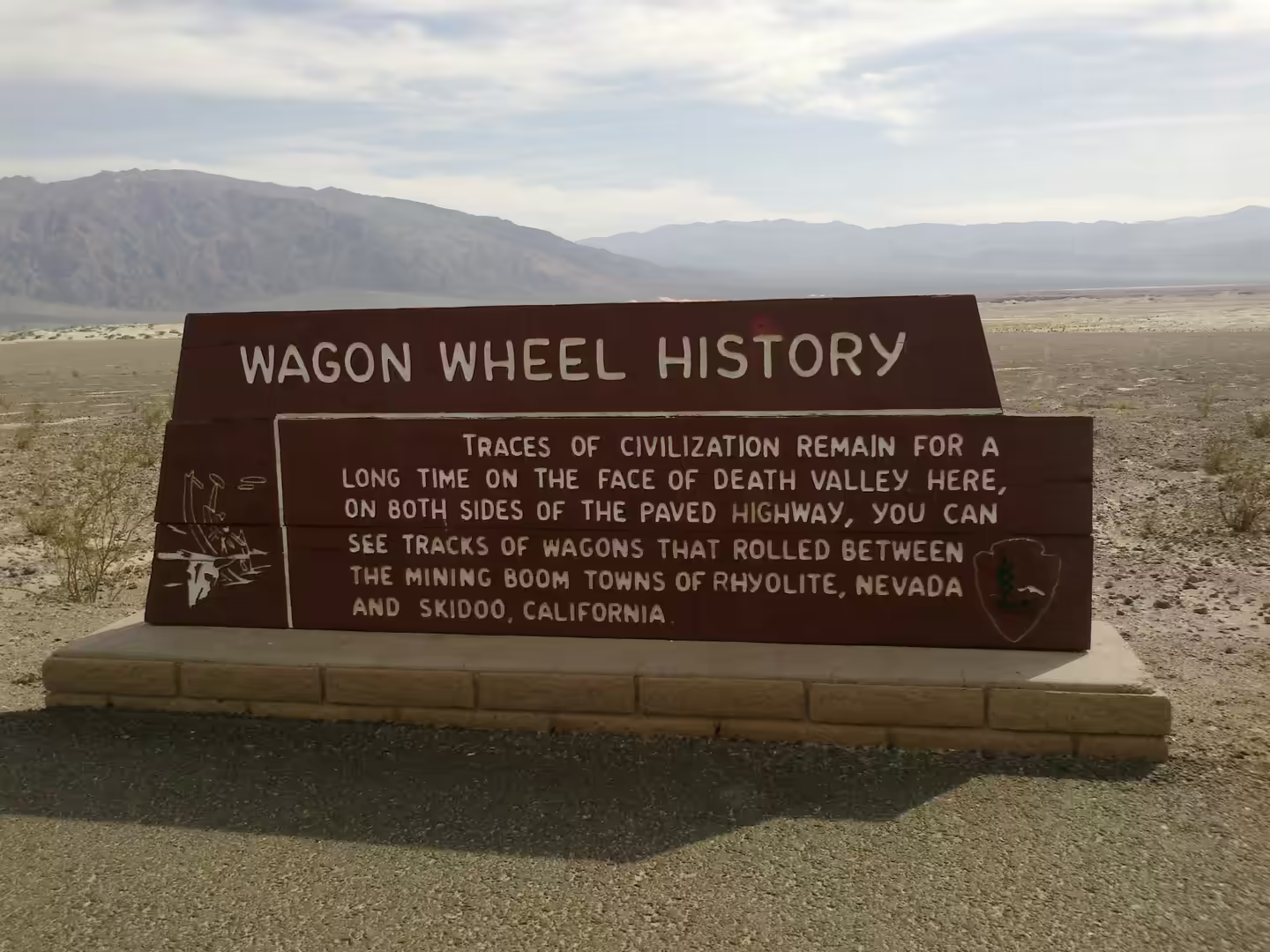
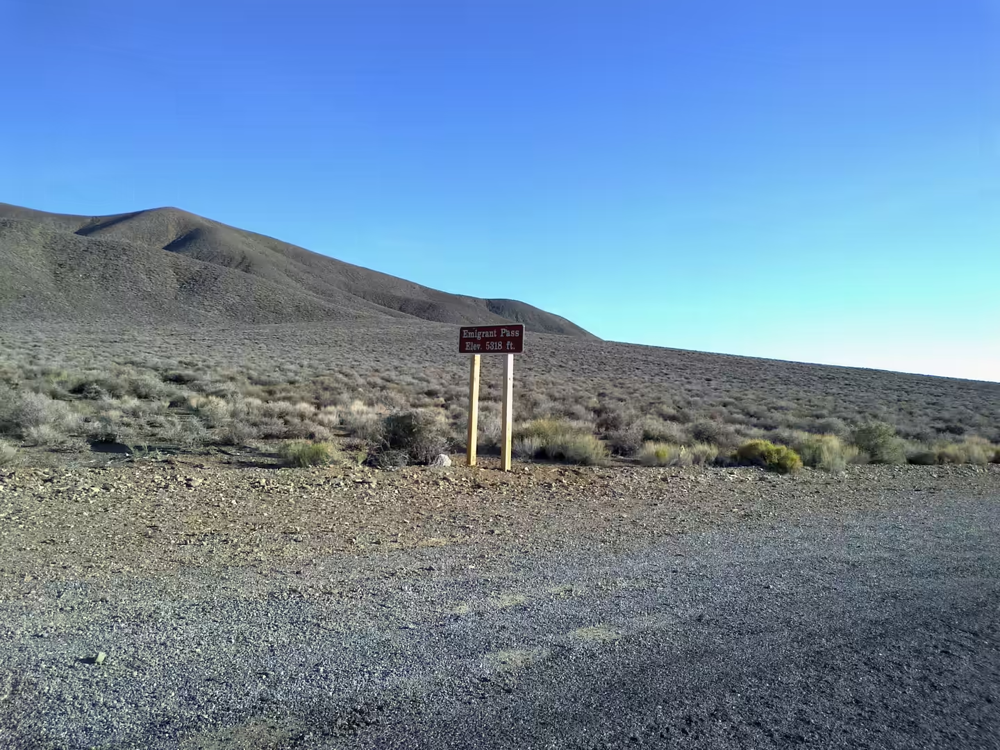
The historic markers along the roads fill in the rest of the story. The monument marking the gateway of the Death Valley ’49ers stands where the emigrant party passed, the Wagon Wheel and Emigrant Pass signs record the routes that crossed the valley, and a stone lined well with a hand pump shows how water was obtained before the park existed. Furnace Creek itself, below sea level, has the visitor centre and museum and is the place to read the sequence of borax, mining and tourism that produced the present park.
The night is the last thing to plan for. Death Valley was designated a dark sky park in 2013, and because there is almost no settlement in the valley, the sky after dark is better than in most of the United States. Staying overnight also solves the practical problem of the place, since the distances are long and the heat makes an afternoon drive harder than it looks on the map. Fuel, water and food are available at Furnace Creek and a few other points, but not everywhere, and nothing should be left to chance between them.
References
- Crum, S. J. (2002). Pretending they didn’t exist: the Timbisha Shoshone tribe of Death Valley, California, and the Death Valley National Monument up to 1933. Southern California Quarterly 84, 223-240. doi.org/10.2307/41172134
- Fowler, C. S. (2008). Historical perspectives on Timbisha Shoshone land management practices, Death Valley, California. In: Interdisciplinary Contributions to Archaeology, 43-57. doi.org/10.1007/978-0-387-71303-8_3
- Roberts, S. M., Spencer, R. J. & Lowenstein, T. K. (1994). Late Pleistocene saline lacustrine sediments, Badwater Basin, Death Valley, California. In: Lacustrine Reservoirs and Depositional Systems, 61-103. doi.org/10.2110/cor.94.01.0061
- Sasnett, P., Goehring, B. M., Christie-Blick, N. and others (2012). Do phreatomagmatic eruptions at Ubehebe Crater (Death Valley, California) relate to a wetter than present hydro-climate? Geophysical Research Letters 39, 2011GL050130. doi.org/10.1029/2011gl050130
- Snow, J. K. & White, C. (1990). Listric normal faulting and synorogenic sedimentation, northern Cottonwood Mountains, Death Valley region, California. In: Basin and Range Extensional Tectonics. doi.org/10.1130/mem176-p413
- Steinacker, R. (2025). The 1913 maximum temperature world record at Death Valley: should we expect a new record in the near future? Oxford Open Climate Change 5, kgaf015. doi.org/10.1093/oxfclm/kgaf015
- National Park Service (2026). Death Valley National Park. nps.gov/deva
- Wikipedia contributors (2026). Badwater Basin. en.wikipedia.org/wiki/Badwater_Basin
- Wikipedia contributors (2026). Basin and Range Province. en.wikipedia.org/wiki/Basin_and_Range_Province
- Wikipedia contributors (2026). Death Valley ’49ers. en.wikipedia.org/wiki/Death_Valley_%2749ers
- Wikipedia contributors (2026). Death Valley National Park. en.wikipedia.org/wiki/Death_Valley_National_Park
- Wikipedia contributors (2026). Furnace Creek, California. en.wikipedia.org/wiki/Furnace_Creek,_California
- Wikipedia contributors (2026). Great Basin. en.wikipedia.org/wiki/Great_Basin
- Wikipedia contributors (2026). Mojave Desert. en.wikipedia.org/wiki/Mojave_Desert
- Wikipedia contributors (2026). Panamint Range. en.wikipedia.org/wiki/Panamint_Range
- Wikipedia contributors (2026). Timbisha. en.wikipedia.org/wiki/Timbisha
- Wikipedia contributors (2026). Ubehebe Crater. en.wikipedia.org/wiki/Ubehebe_Crater