California
CountriesUnited States
Stages6
Route
Photographs (64)
Journal Notes (6)
Day 1 - Around Santa Clara
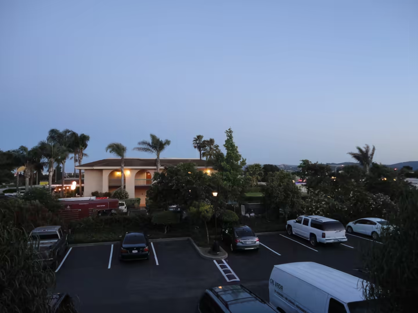
General Santa Clara is a city in Santa Clara County at the southern end of the San Francisco Bay Area, and it is the base for this first day. It was founded by the Spanish in 1777 with the establishment of Mission Santa Clara de Asís under Junípero Serra, and it sits in the centr …
Day 2 - Yosemite National Park
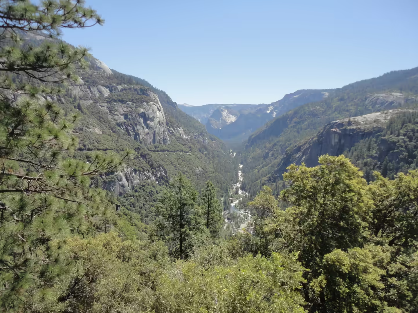
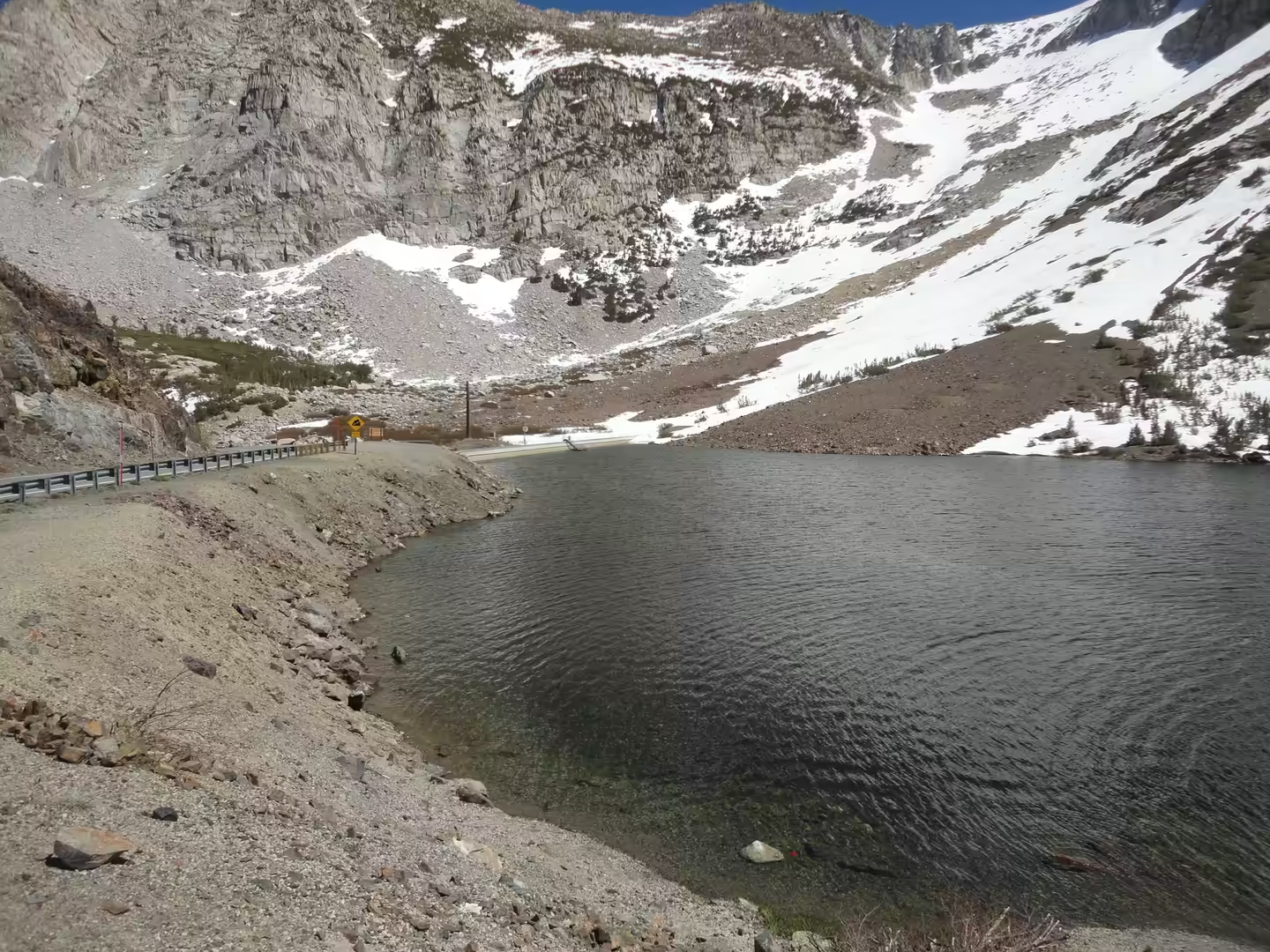
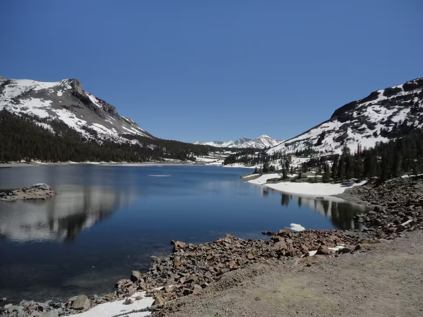
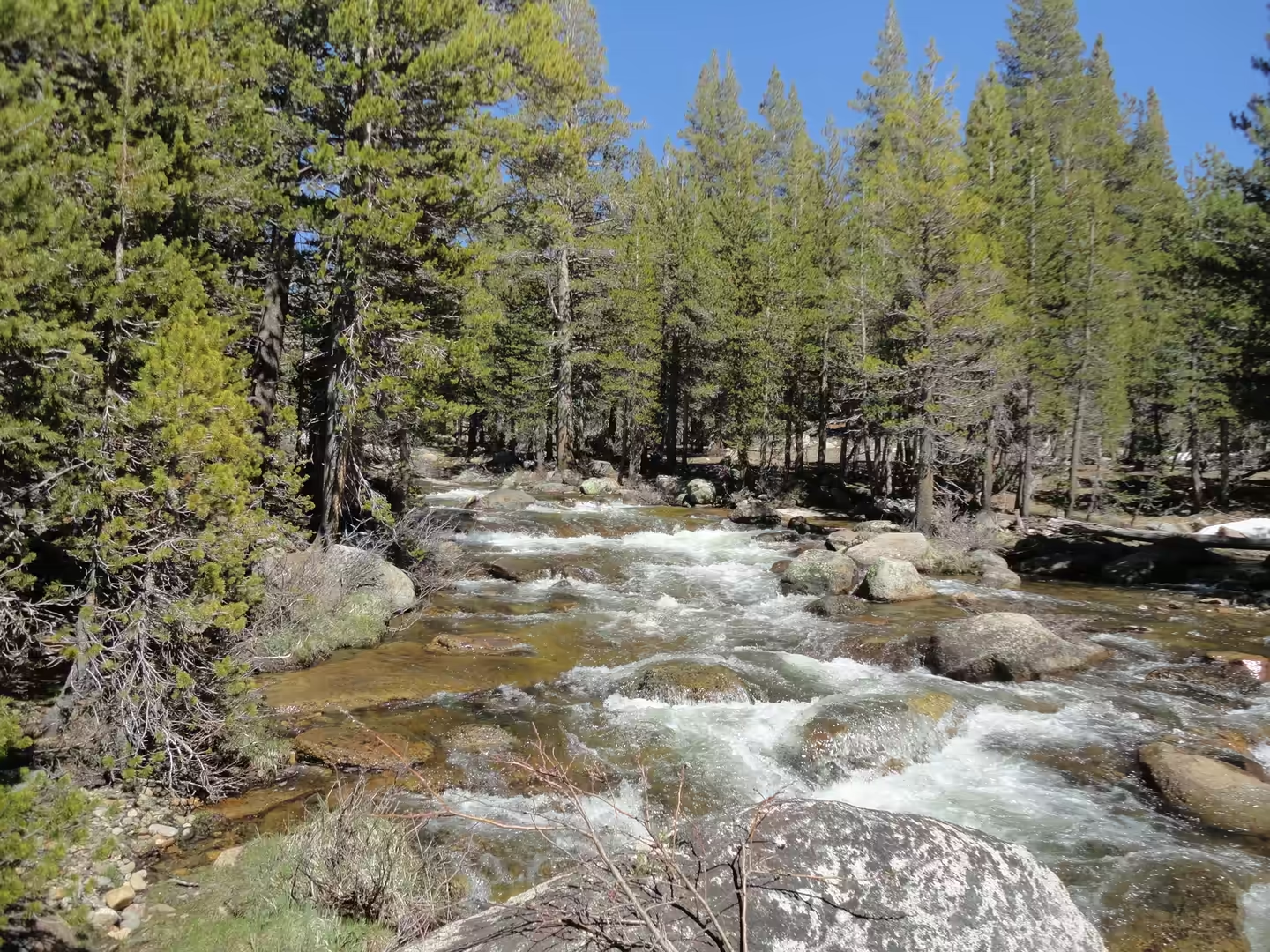
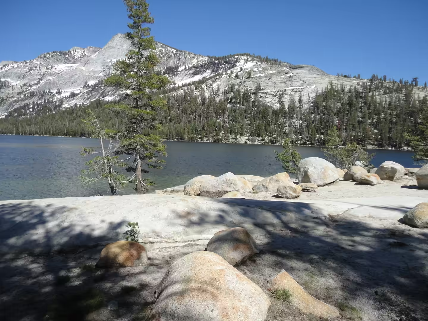
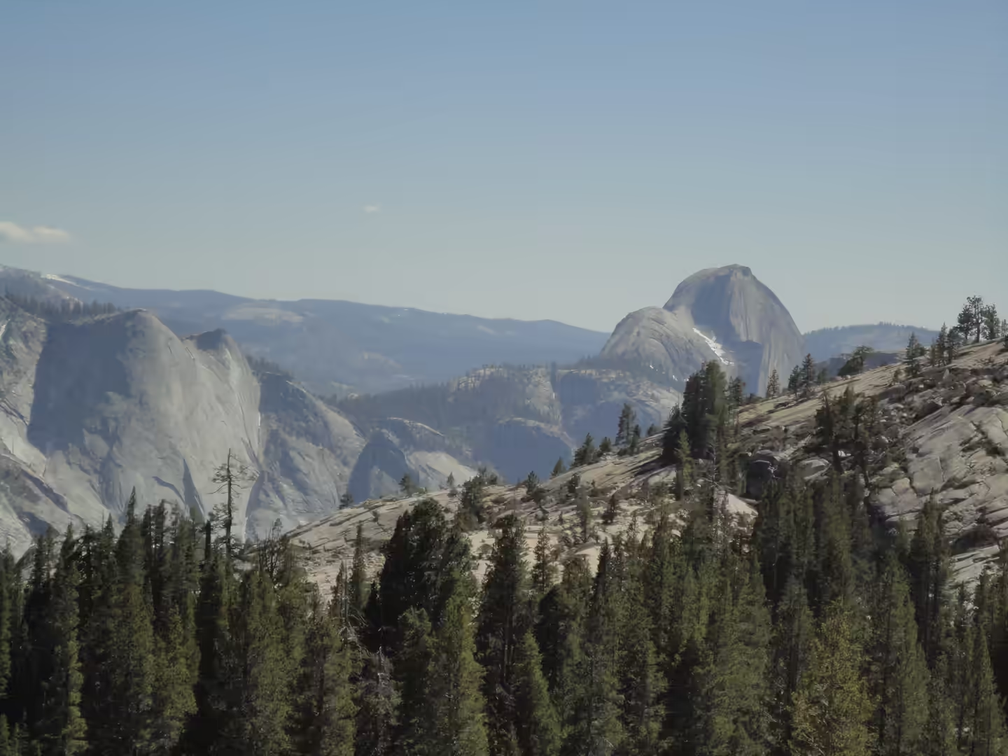
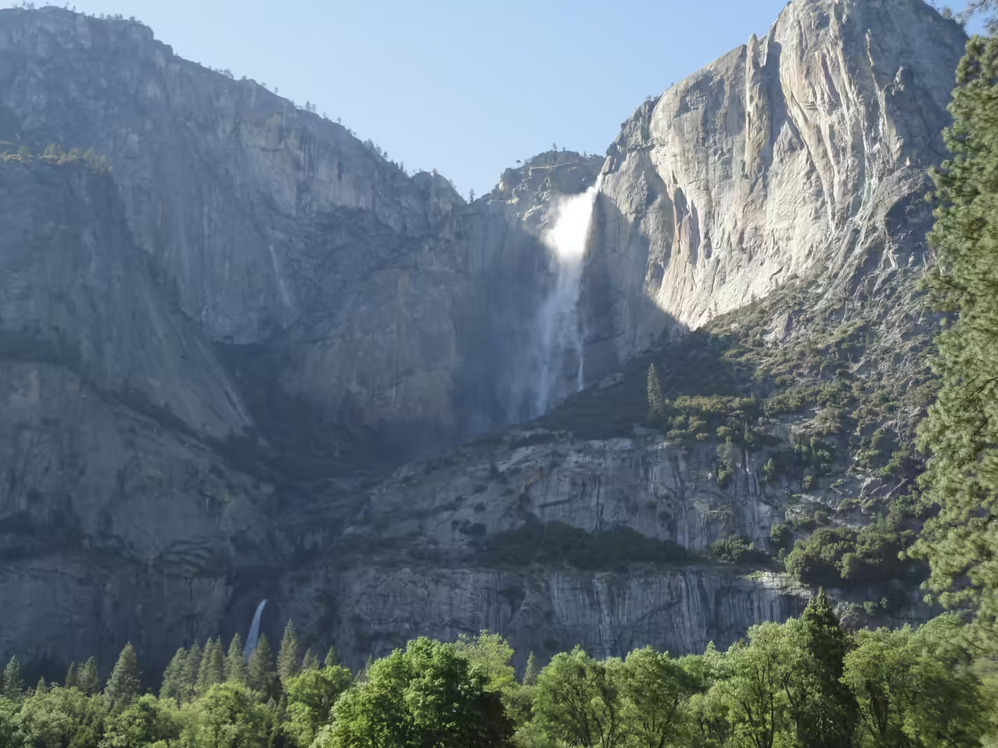
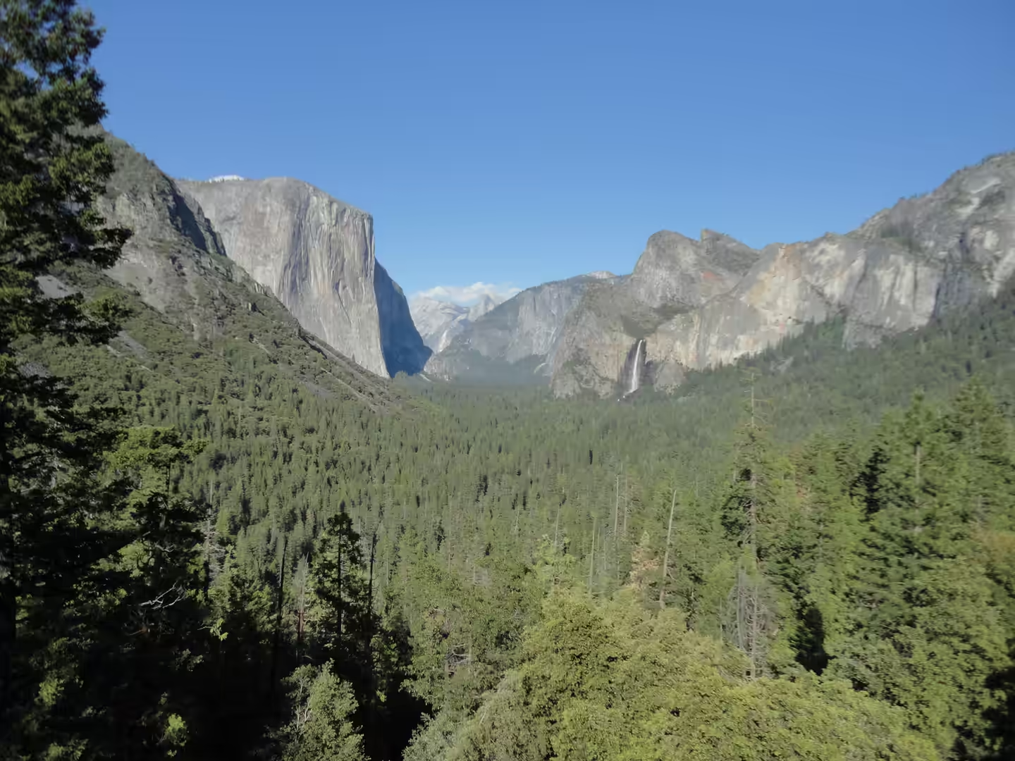
General The drive from the bay to Yosemite crosses the floor of the Central Valley before it begins to climb, and the signposts change from towns to fruit stands to forest. The last stretch runs through the foothills on the route that follows the Merced River, past small settleme …
Day 3 - Around Santa Clara
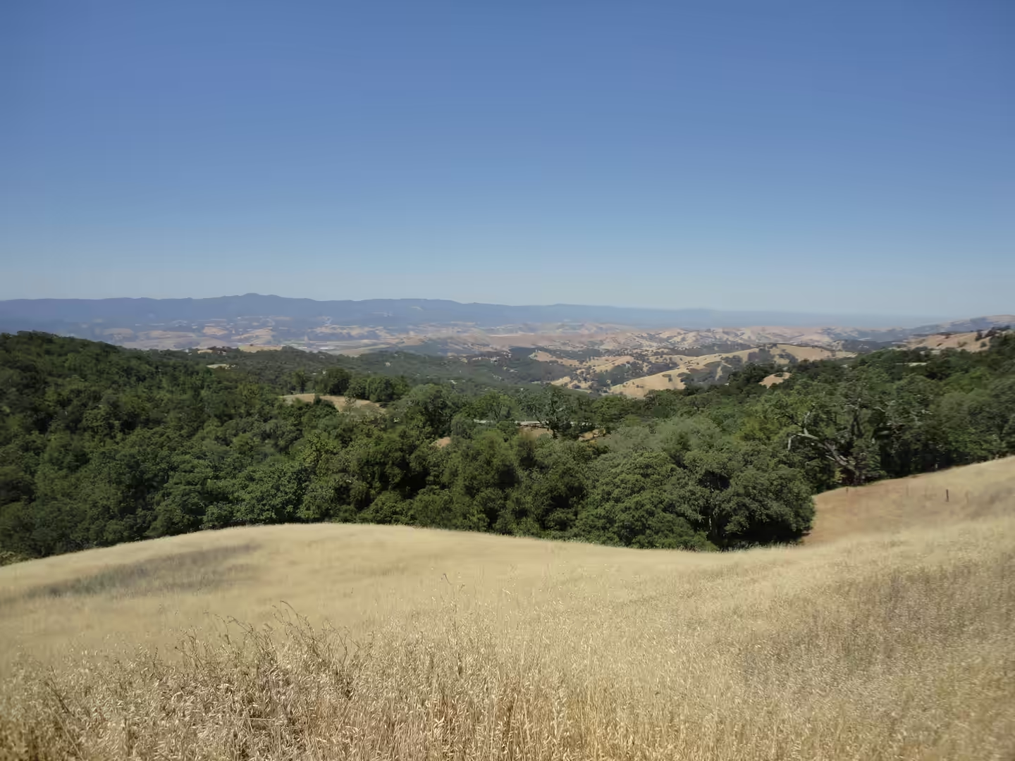
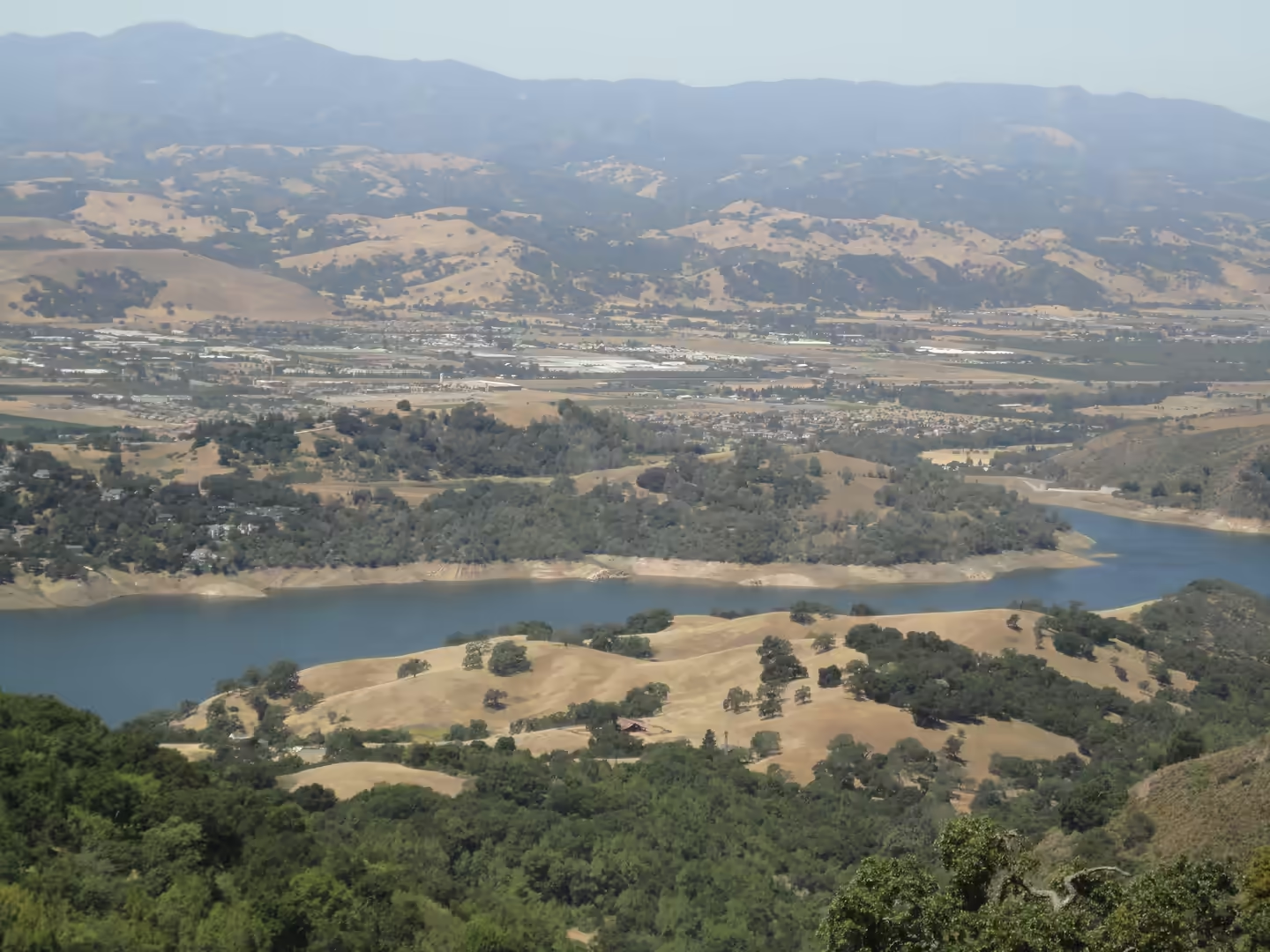
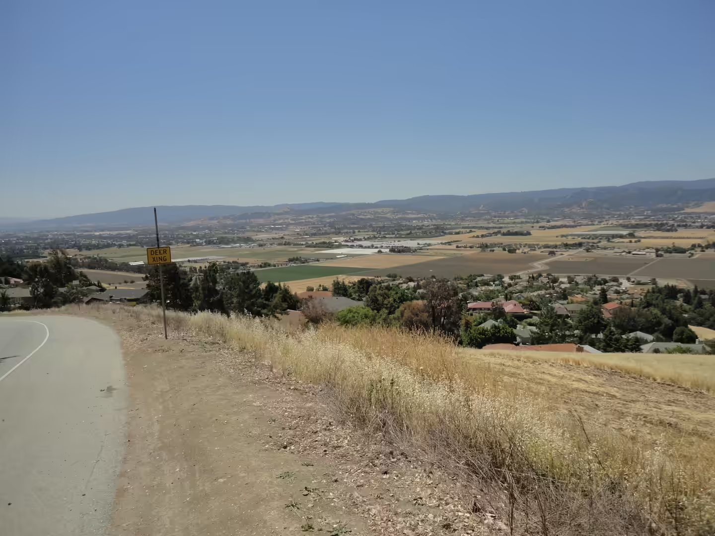
General The third day stays in Santa Clara County and goes inland, into the hills that frame the bay. The county sits between two mountain systems, the Santa Cruz Mountains on the western side and the Diablo Range to the east, with the Santa Clara Valley running between them from …
Day 4 - Central Valley
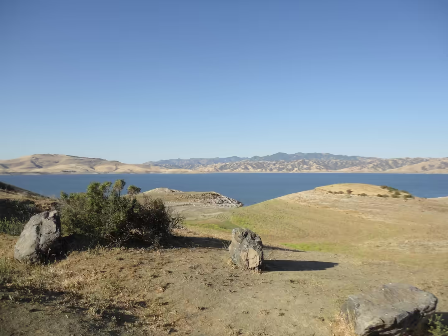
General The Central Valley is a broad, elongated and almost entirely flat valley that dominates the interior of California. It runs from north west to south east, parallel to the Pacific coast and inland from it, and covers about eleven per cent of the state's land area, bounded …
Day 5 - Joshua Tree National Park
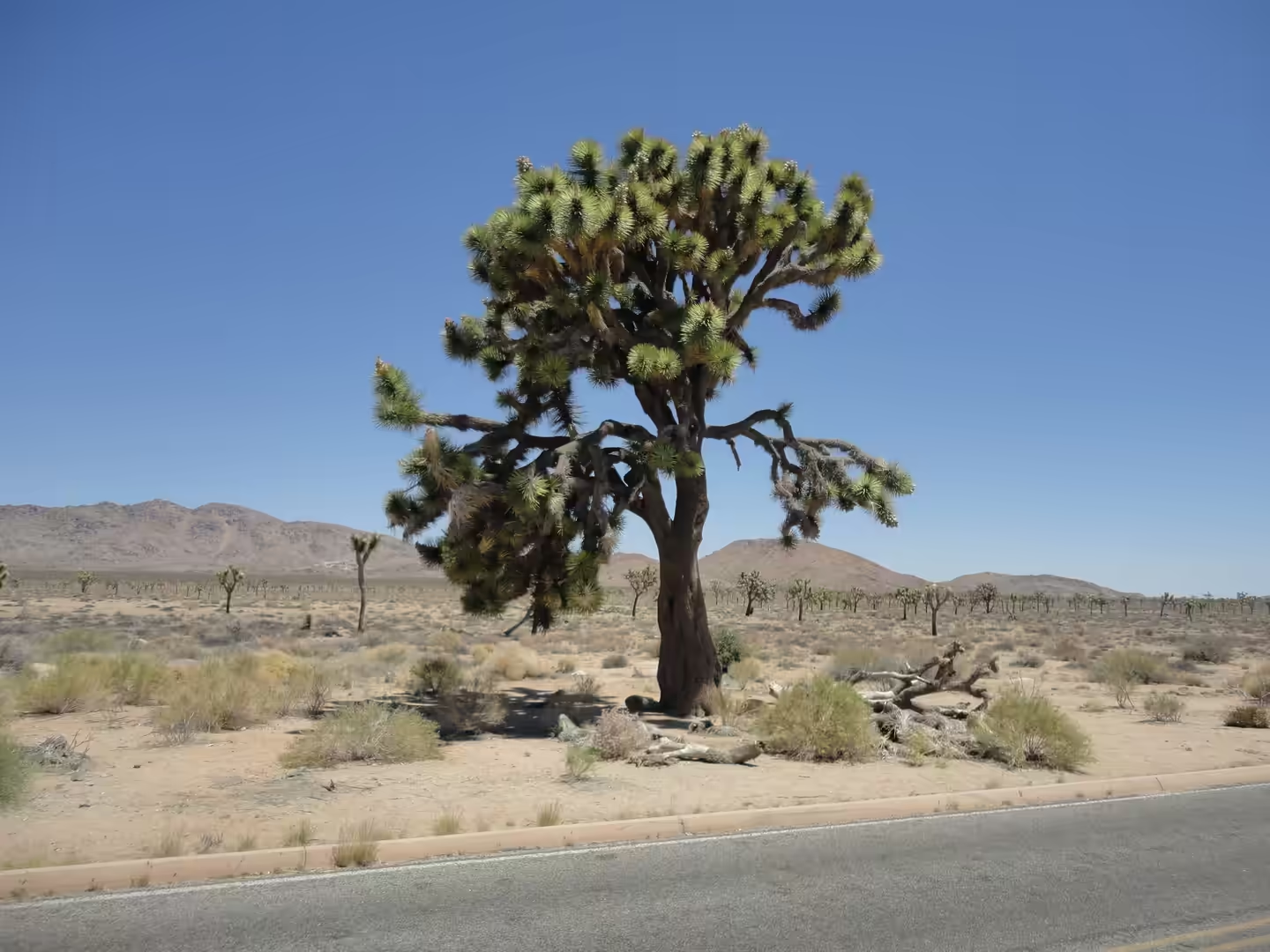
General Joshua Tree National Park lies in south eastern California, straddling north central Riverside County and part of southern San Bernardino County, about 130 miles east of Los Angeles and roughly 78 miles east of San Bernardino, with Twentynine Palms as its nearest town. It …
Day 6 - Death Valley National Park
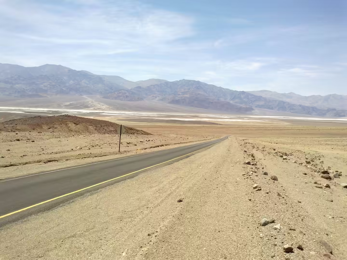
General Death Valley National Park straddles the California and Nevada border, east of the Sierra Nevada, and it is the largest national park in the contiguous United States as well as the hottest, driest and lowest of all the national parks in the country. More than 93 per cent …