Day 5 - Joshua Tree National Park
Journal Notes
General
Joshua Tree National Park lies in south eastern California, straddling north central Riverside County and part of southern San Bernardino County, about 130 miles east of Los Angeles and roughly 78 miles east of San Bernardino, with Twentynine Palms as its nearest town. It is named after the Joshua tree, Yucca brevifolia, which grows in the park and the country around it. The area was declared a national monument in 1936 and redesignated as a national park in 1994, and it received 3,058,294 visitors in 2022, which makes it one of the busier units in the National Park Service system despite its remoteness.
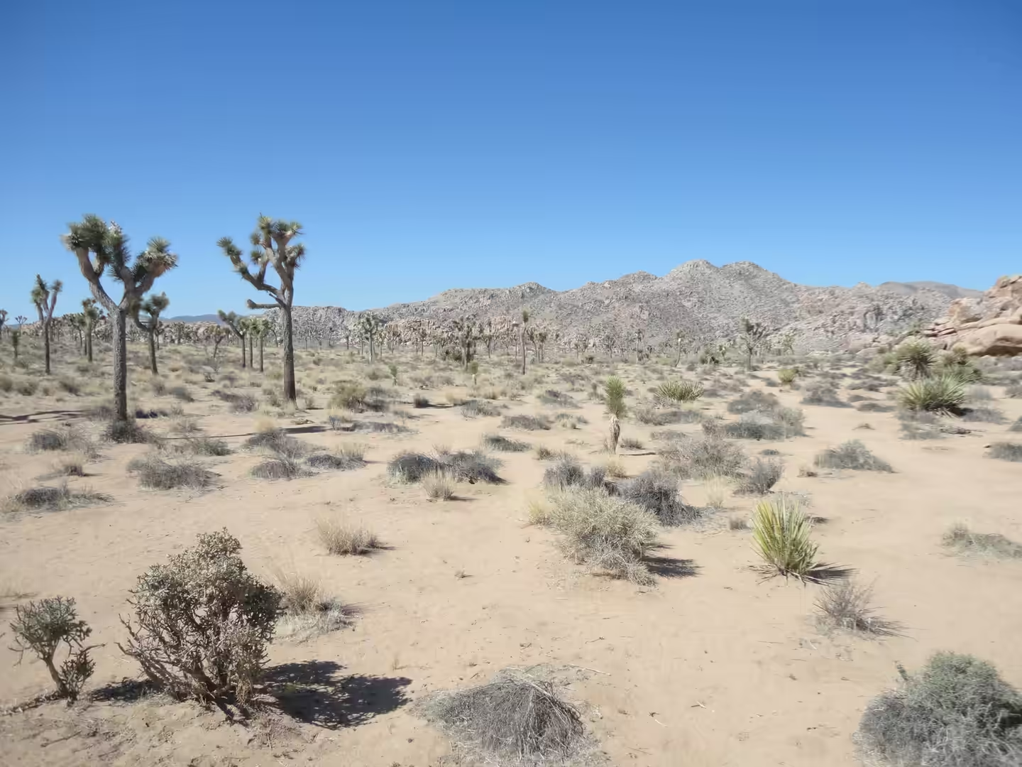
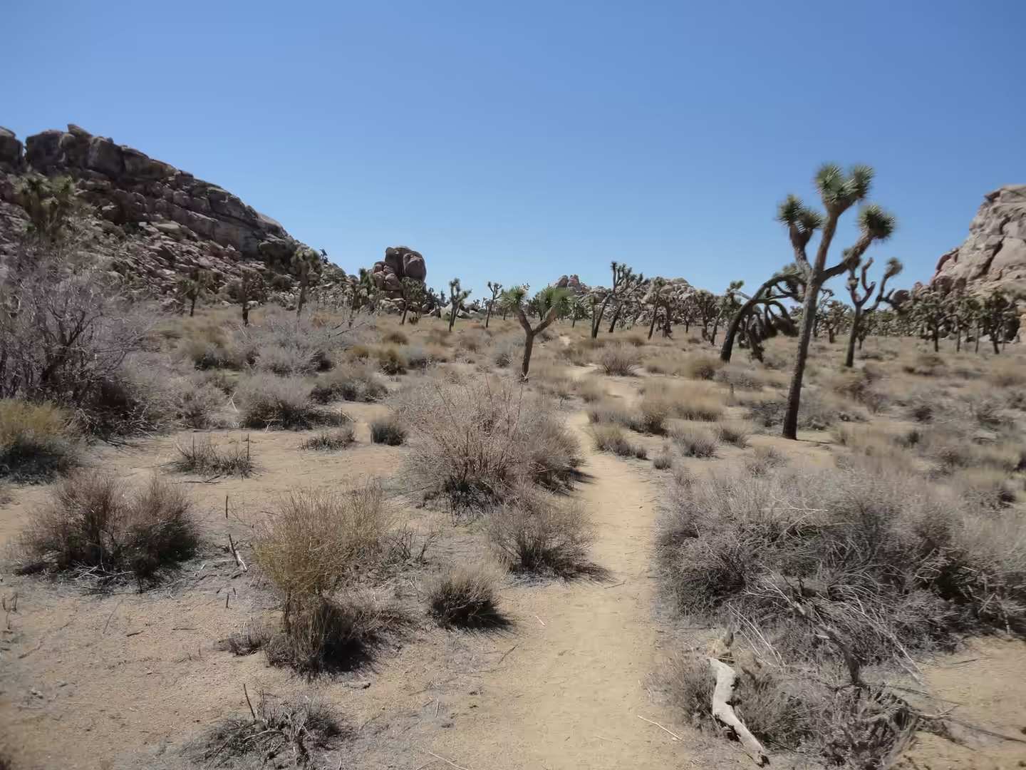
The park contains two deserts rather than one, and the road crosses the boundary between them. The higher and cooler part belongs to the Mojave Desert, where the Joshua tree grows, and the lower, hotter part belongs to the Colorado Desert, a subdivision of the Sonoran Desert that reaches down towards the Salton Sea. Because the two meet here, the vegetation changes over a few miles of driving: stands of Joshua trees on the higher ground give way to creosote bush, ocotillo and cactus on the lower slopes, and the sandy flats between them carry only sparse scrub.
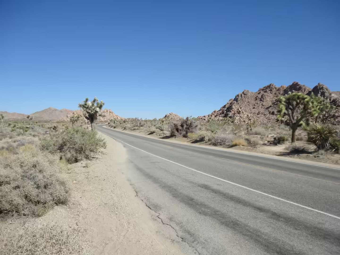
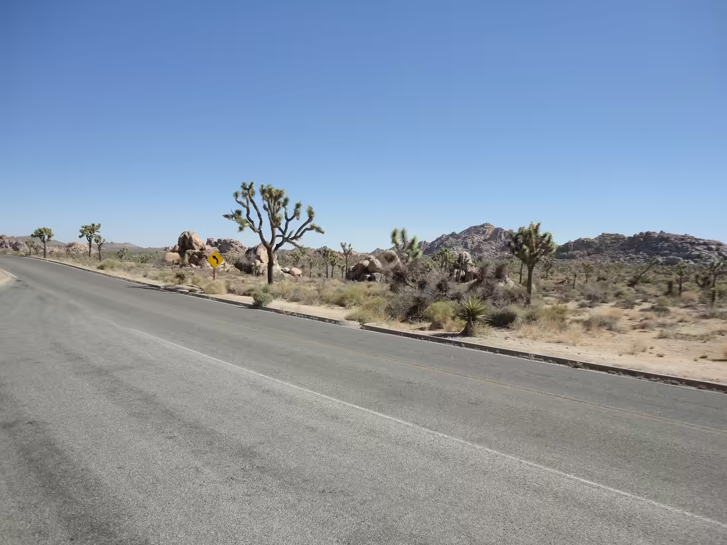
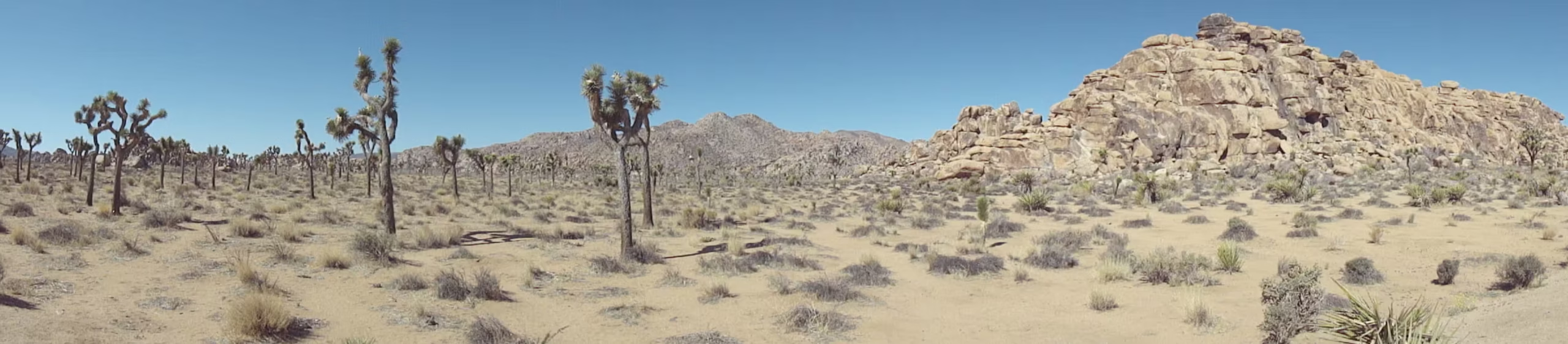
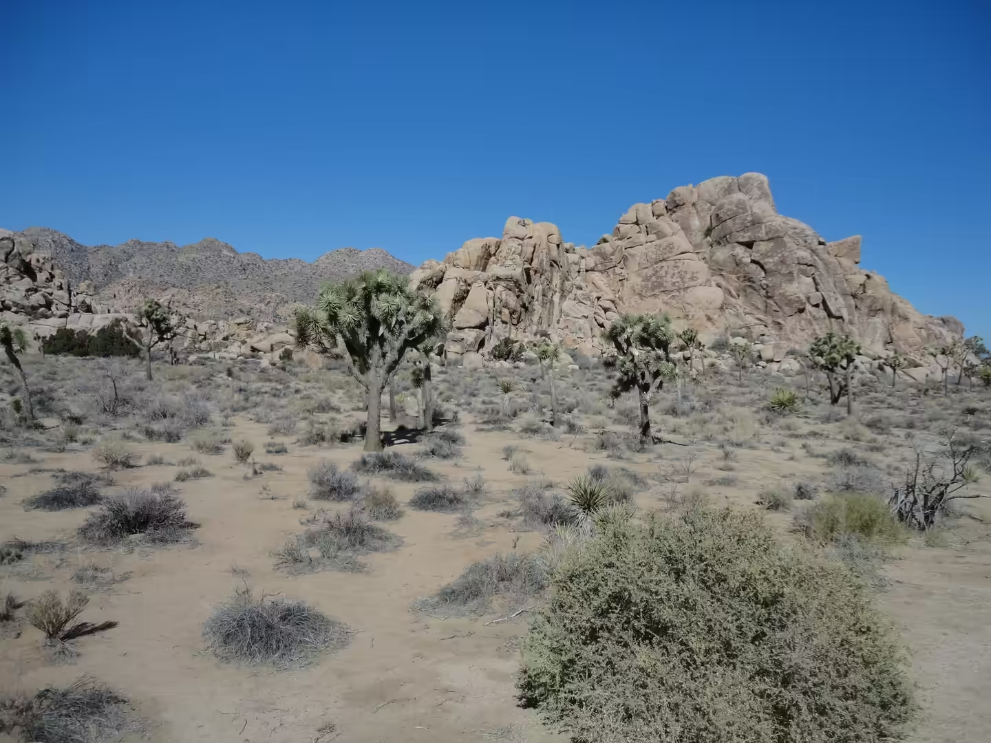
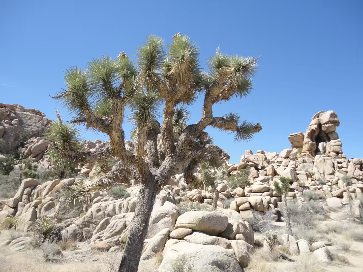
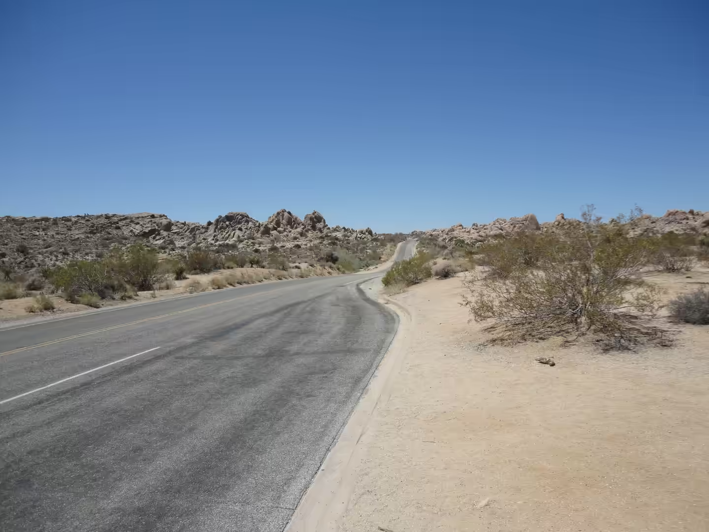
The character of the park is set by rock and by space. Pale granite hills and whaleback ridges rise out of open basins such as Queen Valley and Lost Horse Valley, and the Joshua trees stand in the gaps between them rather than in forest. Roads run between the rock masses for mile after mile with no settlement in sight, and the walking routes leave the road and follow sandy washes between the boulders. Heat governs the day from spring onwards, and the park’s own advice is to carry more water than seems necessary and to walk early.
North east of the park the same desert continues into the Mojave National Preserve, established on 31 October 1994 by the California Desert Protection Act, the law that also created Joshua Tree National Park and enlarged Death Valley. It is the third largest unit of the National Park system in the contiguous United States and the largest national preserve, lying between Interstate 15 and Interstate 40 in San Bernardino County, and it holds the Kelso Dunes, the Cima Dome and volcanic features such as Hole-in-the-Wall and the Cinder Cone Lava Beds. The Joshua tree forest on Cima Dome and the adjacent Shadow Valley is the largest and densest in the world, and the ghost town of Kelso, with its depot building, belongs to the mining period that preceded protection.
The lower desert stretches well beyond the park. The Colorado Desert occupies Imperial County, parts of San Diego and Riverside counties and a small part of San Bernardino County, together with the northern part of the Mexicali municipality in Baja California, and it includes the heavily irrigated Coachella, Imperial and Mexicali valleys. Most of it lies at low elevation, and its lowest ground is at the Salton Sea, a shallow and highly saline lake lying in a closed basin on the San Andreas Fault in the Salton Trough, which continues south to the Gulf of California. The sea is what remains of a much larger freshwater body, Lake Cahuilla, which covered several times its present area.
History
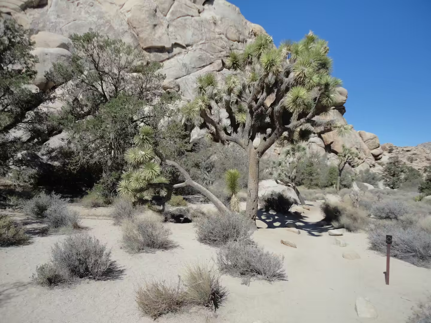
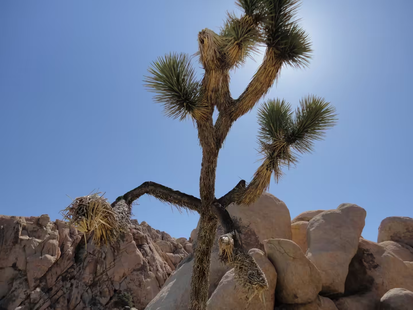
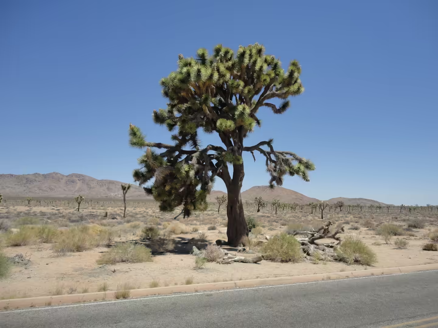
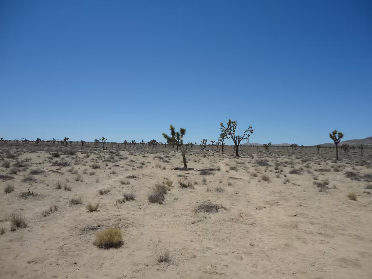
The Joshua tree takes its European name from a plant that had been used by the people of the desert long before. It is called hunuvat chiy’a or humwichawa by the Cahuilla, whose territory covered much of this part of southern California, and it was first described in the botanical literature as Yucca brevifolia by George Engelmann in 1871. The tree is a monocotyledon, not a true tree in the usual sense, native to the arid south western United States in California, Arizona, Utah and Nevada and to north western Mexico, and it is confined mostly to the Mojave Desert, where it thrives in the open grasslands of Queen Valley and Lost Horse Valley.
The first travellers of European descent to cross this country came on foot and on horseback. Jedediah Smith passed through the Mojave Desert in 1826 on his way to the San Gabriel Mission, and the Old Spanish Trail, the trade route that connected Santa Fe with Los Angeles, was used by pack trains from about 1830 until the mid 1850s. The trail ran some 700 miles over high mountains, arid deserts and deep canyons and is regarded as one of the most arduous trade routes ever established in the United States; the name comes from John C. Frémont’s report of his 1844 journey, guided by Kit Carson. In 2002 Congress designated it part of the National Trails System as the Old Spanish National Historic Trail.
Modern protection followed a period of use and abuse. The national monument of 1936 covered a fraction of the present park, and in 1994 the California Desert Protection Act redesignated it as a national park and enlarged it. The state has since recognised the pressure that climate change puts on the species that gives the park its name: in February 2023 the governor’s administration proposed the Western Joshua Tree Conservation Act, which was passed by the legislature in June 2023 and came into effect on 10 July of that year, combining protection of the tree with a framework for permitting development in the southern California desert.
The tree’s range extends across the desert beyond the park. Yucca brevifolia grows in California, Arizona, Utah and Nevada and in north western Mexico, and large stands are found north east of Kingman in Mohave County, Arizona, along US Route 93 south of Meadview, where the road has been designated the Joshua Tree Parkway of Arizona, and in Saddleback Butte State Park in the Antelope Valley north of Los Angeles. The species was first formally described as Yucca brevifolia by George Engelmann in 1871, as part of the Geological Exploration of the hundredth meridian, and it is now protected in California by the Western Joshua Tree Conservation Act, which took effect on 10 July 2023 after a warming climate and development pressure in the desert raised concern for its future.
Geology
Two desert provinces meet in the park, and the reason is rain shadow. The Mojave Desert lies in the shadow of the southern Sierra Nevada and the Transverse Ranges, so it is high and comparatively cool, and the Joshua tree is endemic to it. The Colorado Desert is a subdivision of the Sonoran Desert that covers Imperial County, parts of San Diego and Riverside counties and a small part of San Bernardino County, together with the northern part of the Mexicali municipality in Baja California. Most of it lies at low elevation, with its lowest ground below sea level at the Salton Sea, and it is hotter than the Mojave at all seasons.
The rock of the park is granite in its broad family, and it is best described as monzogranite. The Wonderland of Rocks, one of the park’s best known areas, consists of monzogranite formations, and the same rock type builds the rounded hills and the boulder piles that edge the valleys. Granite of this kind forms deep underground from slowly cooling magma and is exposed only after the cover above it has been removed, which is what happened across this region during the long period of uplift and erosion that followed the intrusion.
Weathering then cut the rock into the shapes that make the park recognisable. The granite is jointed in blocks, and water entering the joints during the cooler months breaks it down from the inside, so the corners round off and the boulders separate into the piles that stand beside the roads. Sand and gravel washed out of the same hills fill the valleys and the washes between them, and the open sandy flats that carry the densest stands of Joshua trees are the result of that deposition rather than of any difference in the rock beneath.
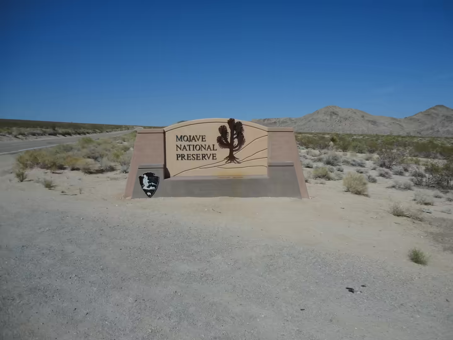
Water in this country is mostly invisible. There is no permanent river in the park, and what rainfall arrives runs off quickly into the washes or sinks into the sand; the low ground of the Colorado Desert to the south drains internally towards the Salton Sea, which has no outlet to the ocean. Springs and seeps keep a few small wetlands alive, and these are the places where desert bighorn sheep, deer and the smaller mammals concentrate, as they must have done before the park existed. The Mojave National Preserve lies to the north east, on the same plateau country, and its entrance is passed on the way out of the region.
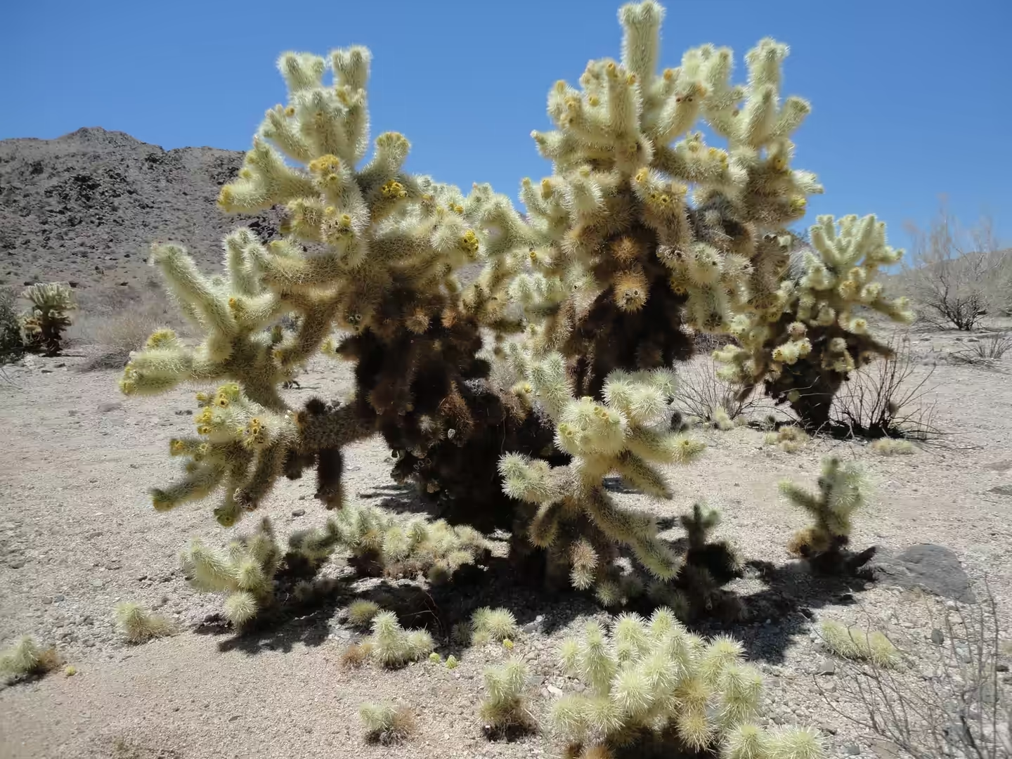
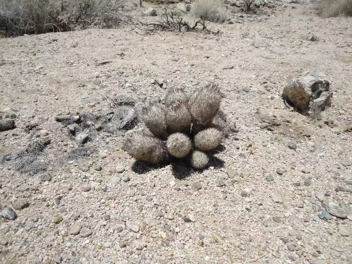
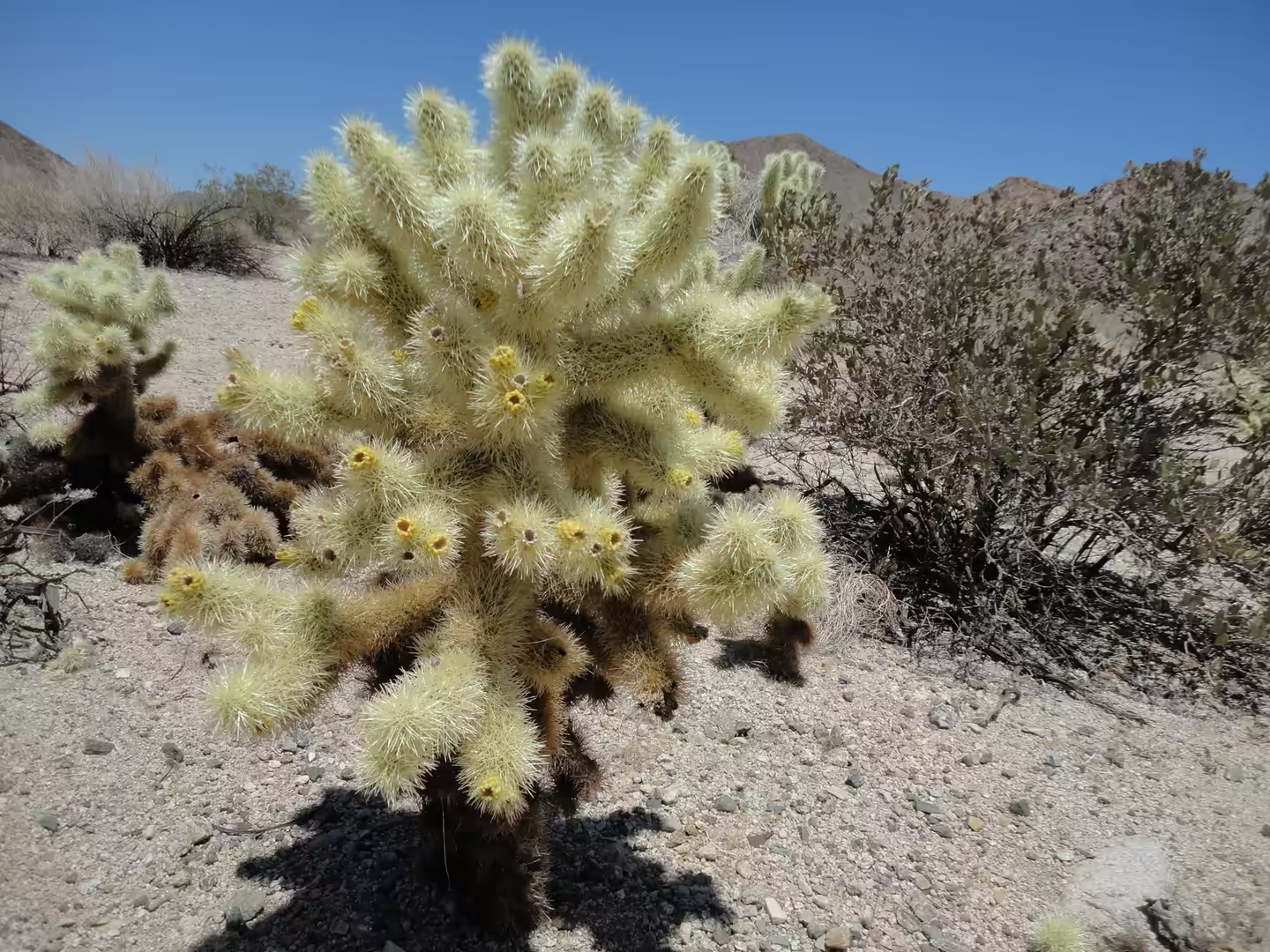
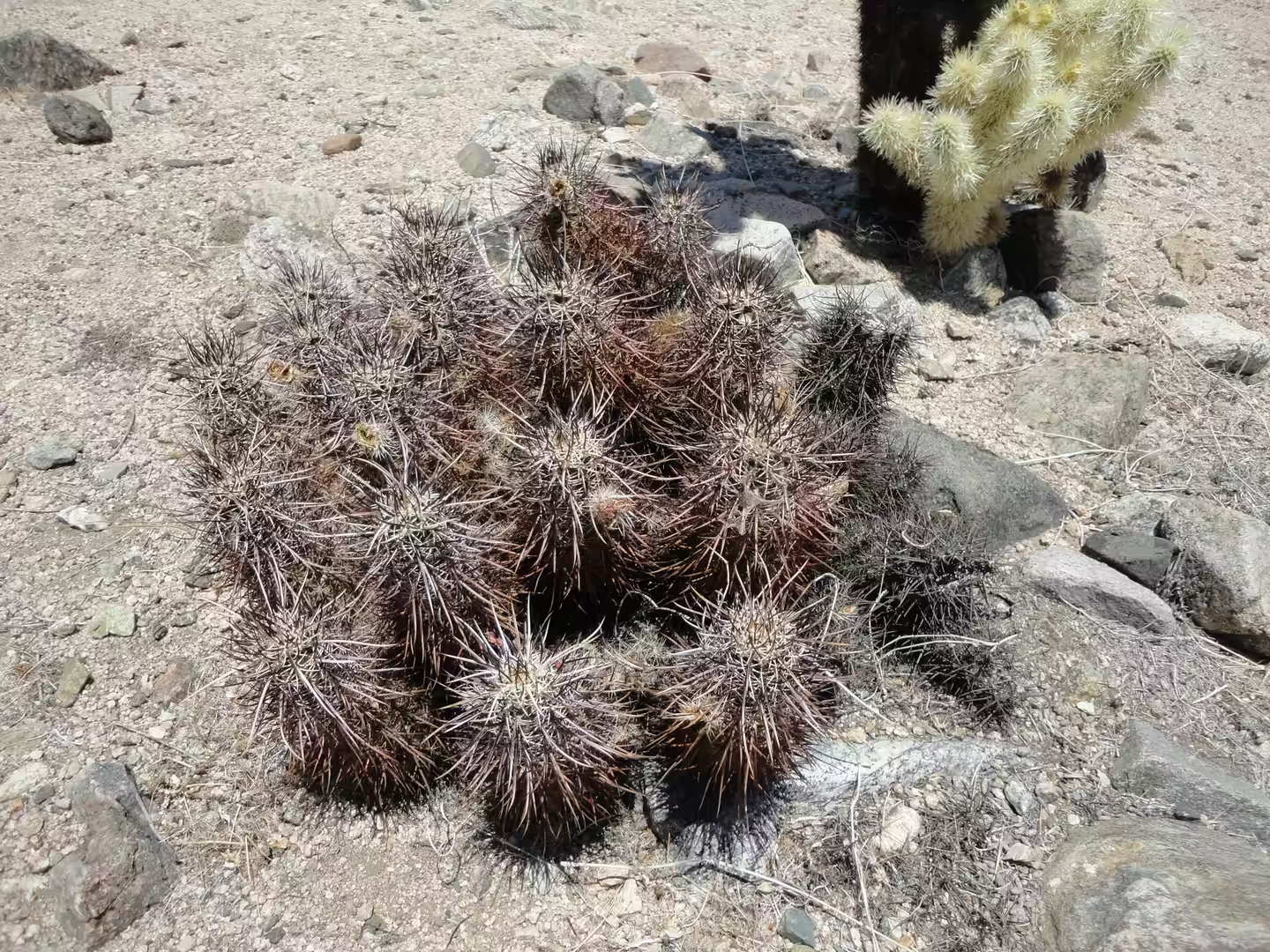
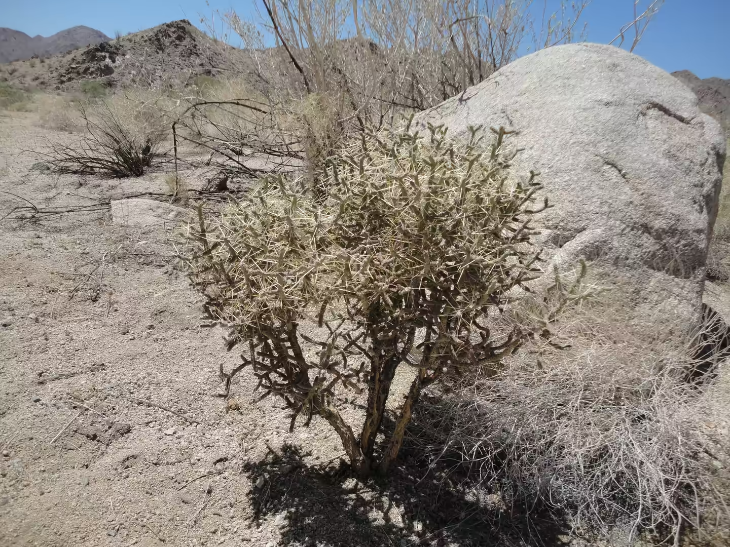
Wildlife here is adapted to going without water. The desert bighorn sheep, Ovis canadensis nelsoni, is native to the deserts of the south western United States and north western Mexico and can survive for long periods without drinking. The park, Death Valley and the Mojave National Preserve all protect habitat for it, and its numbers were still described as extremely low as recently as 2004, although the long term trend since 1960 has been upward. Cactus is the other obvious presence: cholla stands, including the teddy bear cholla, and clusters of barrel cactus occupy the open desert floor, with ocotillo and creosote bush between them. South of the park the Colorado Desert runs down to the Salton Sea, a shallow and highly saline lake in a closed basin on the San Andreas Fault.
Things to See
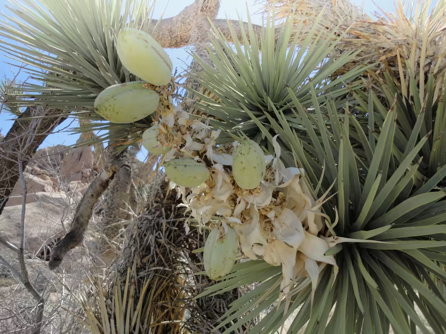
The Joshua trees are the first thing to look for, and they are easiest to see in the higher parts of the park. They stand in open stands rather than in woodland, with the flat ground between them held by low grasses and shrubs, and the trees themselves are long lived and slow growing, with seed pods that are worth a closer look in late spring. Their leaves are stiff and spiny and their outline is unmistakable against the pale rock behind, which is why they were adopted as the emblem of the park.
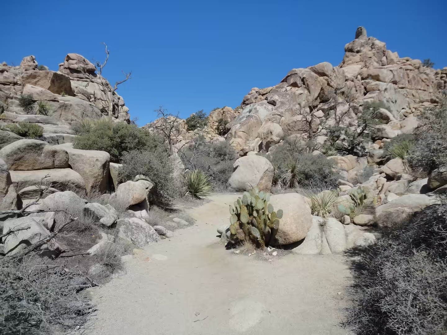
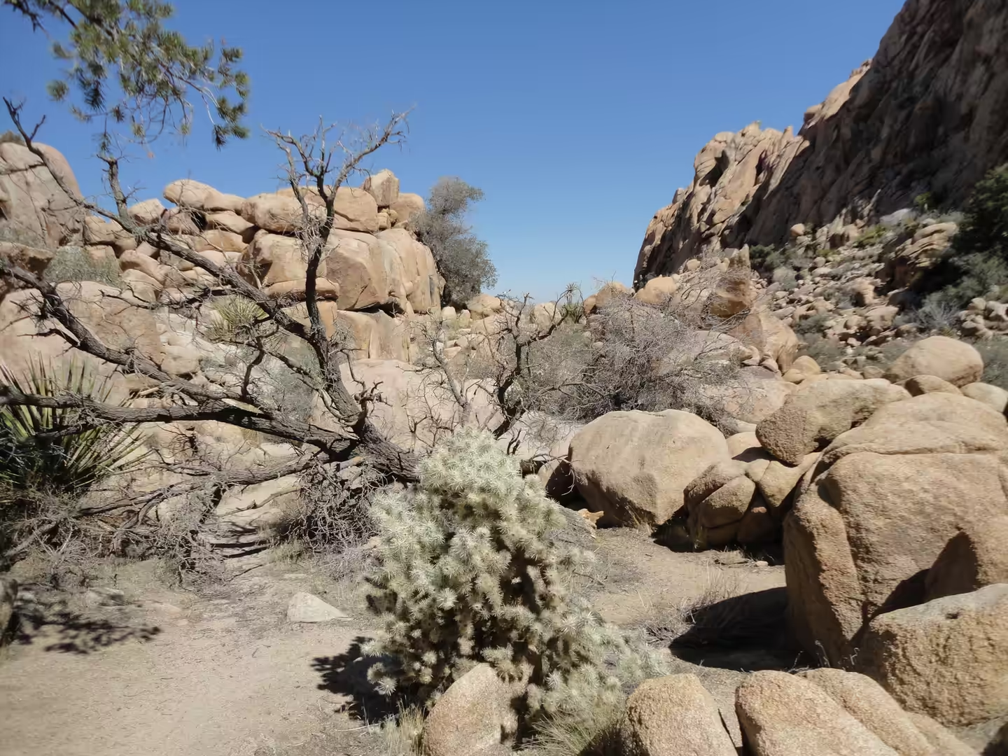
The rock formations are the second subject, and the walking here is mostly about them. Short trails thread between boulders in the Wonderland of Rocks and in the Hidden Valley area, where the granite has split into corridors and small canyons, and the same formations are used by rock climbers on routes that range from easy slabs to hard problems. There is little shade on these walks, but the rock holds the warmth of the day well into the evening, and the light on the boulders at sunset is the reason many visitors stay the night.
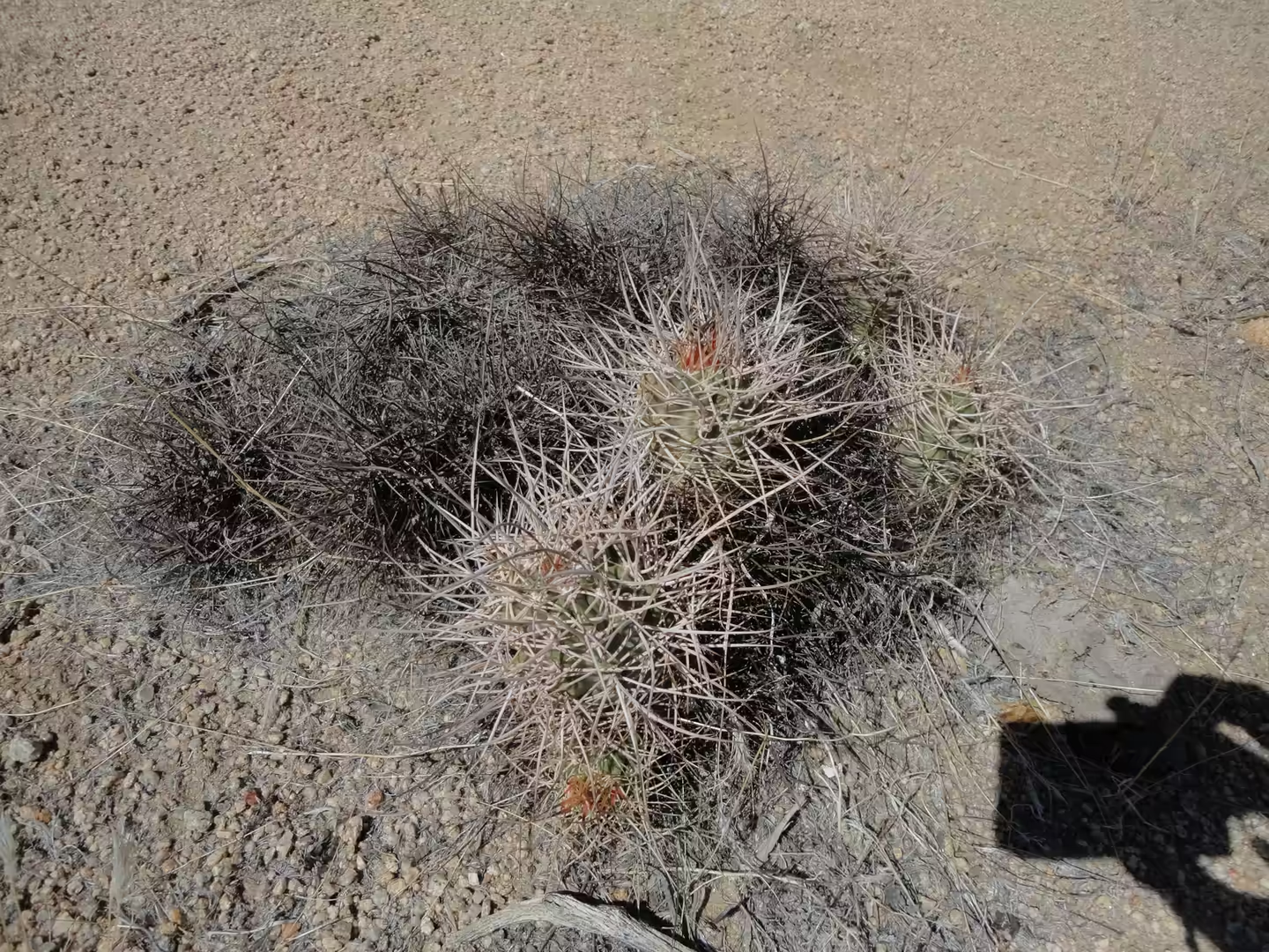
The cactus gardens are the third thing to look for, and they repay attention because several species stand close together. Cholla cactus grows in dense stands, including the teddy bear cholla, whose pale yellow spines are sharp enough to catch on clothing, and barrel cactus forms clusters of round spiny stems on the desert floor. Ocotillo, creosote bush and small yuccas fill the spaces between them, and the ground between the plants is bare. Walking off the trail is permitted in most of the park, but the vegetation is fragile and the spines make boots and long trousers worthwhile.
The last hours of the day belong to the sky and to the drive out. Because the park is far from any large city, the night sky is unusually dark, and stargazing is one of the reasons people camp here rather than drive back to a hotel. Leaving towards the north east, the road passes the entrance sign of the Mojave National Preserve, a second and much emptier protected area of the same desert, and continues into country where the next stop is a long way away. Fuel and water should be taken at Twentynine Palms or Joshua Tree village before setting out.
References
- Sappington, J. M., Longshore, K. M. & Thompson, D. B. (2007). Quantifying landscape ruggedness for animal habitat analysis: a case study using bighorn sheep in the Mojave Desert. The Journal of Wildlife Management 71, 1419-1426. doi.org/10.2193/2005-723
- Smith, S. D., Hartsock, T. L. & Nobel, P. S. (1983). Ecophysiology of Yucca brevifolia, an arborescent monocot of the Mojave desert. Oecologia 60, 10-17. doi.org/10.1007/bf00379313
- Wilkening, J. L., Hoffmann, S. L. & Sirchia, F. (2022). Examining the past, present, and future of an iconic Mojave desert species, the Joshua tree (Yucca brevifolia, Yucca jaegeriana). The Southwestern Naturalist 65. doi.org/10.1894/0038-4909-65.3-4.216
- National Park Service (2026). Joshua Tree National Park. nps.gov/jotr
- Wikipedia contributors (2026). Colorado Desert. en.wikipedia.org/wiki/Colorado_Desert
- Wikipedia contributors (2026). Cylindropuntia bigelovii. en.wikipedia.org/wiki/Cylindropuntia_bigelovii
- Wikipedia contributors (2026). Desert bighorn sheep. en.wikipedia.org/wiki/Desert_bighorn_sheep
- Wikipedia contributors (2026). Great Basin. en.wikipedia.org/wiki/Great_Basin
- Wikipedia contributors (2026). Joshua Tree National Park. en.wikipedia.org/wiki/Joshua_Tree_National_Park
- Wikipedia contributors (2026). Mojave Desert. en.wikipedia.org/wiki/Mojave_Desert
- Wikipedia contributors (2026). Mojave National Preserve. en.wikipedia.org/wiki/Mojave_National_Preserve
- Wikipedia contributors (2026). Old Spanish Trail (trade route). en.wikipedia.org/wiki/Old_Spanish_Trail_(trade_route)
- Wikipedia contributors (2026). Salton Sea. en.wikipedia.org/wiki/Salton_Sea
- Wikipedia contributors (2026). Wonderland of Rocks. en.wikipedia.org/wiki/Wonderland_of_Rocks
- Wikipedia contributors (2026). Yucca brevifolia. en.wikipedia.org/wiki/Yucca_brevifolia