Day 2 - Yosemite National Park
Journal Notes
General
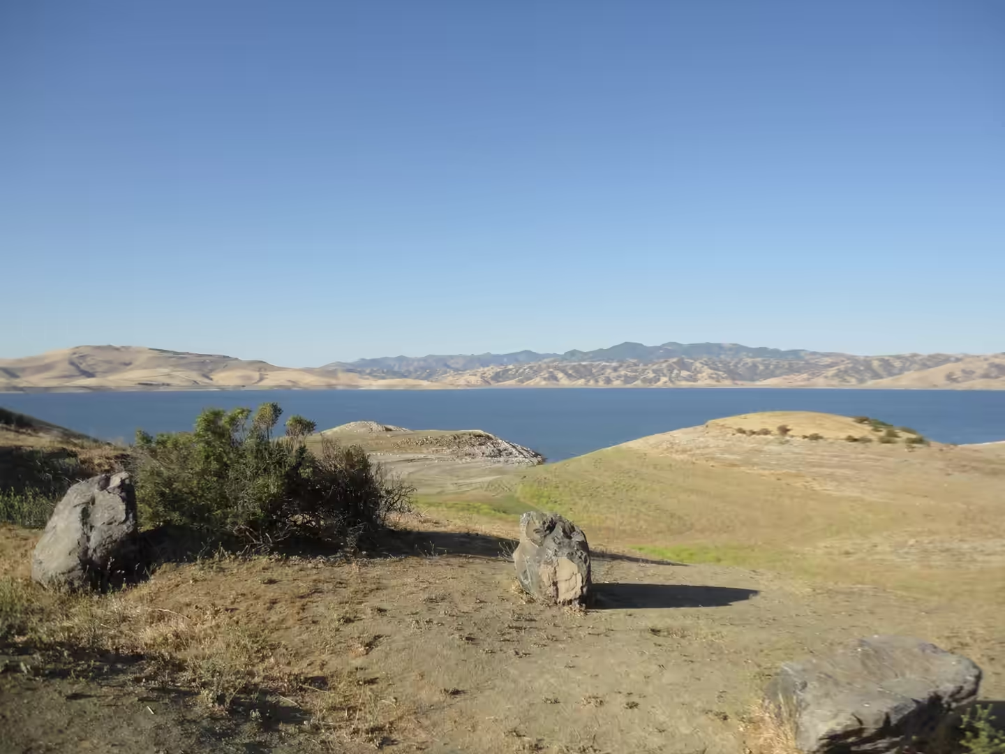
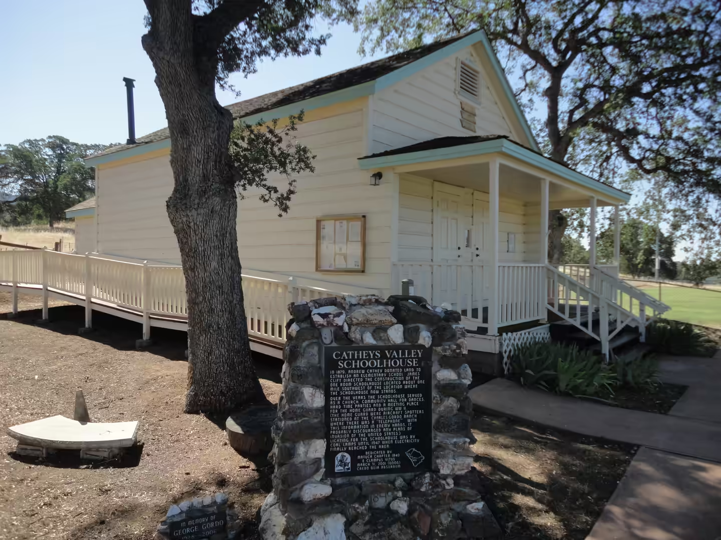
The drive from the bay to Yosemite crosses the floor of the Central Valley before it begins to climb, and the signposts change from towns to fruit stands to forest. The last stretch runs through the foothills on the route that follows the Merced River, past small settlements such as Catheys Valley, where an old white schoolhouse still stands beside the road. Yosemite National Park covers a large area of the central Sierra Nevada, almost 95 per cent of it designated wilderness, and it is one of the largest and least fragmented habitat blocks in the range. In 2024 it received over four million visitors, and a reservation system introduced in 2020 still governs entry at busy periods.
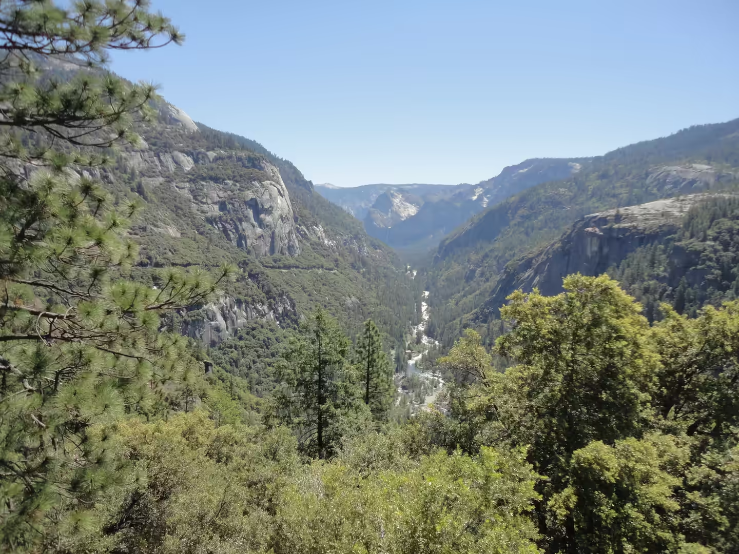
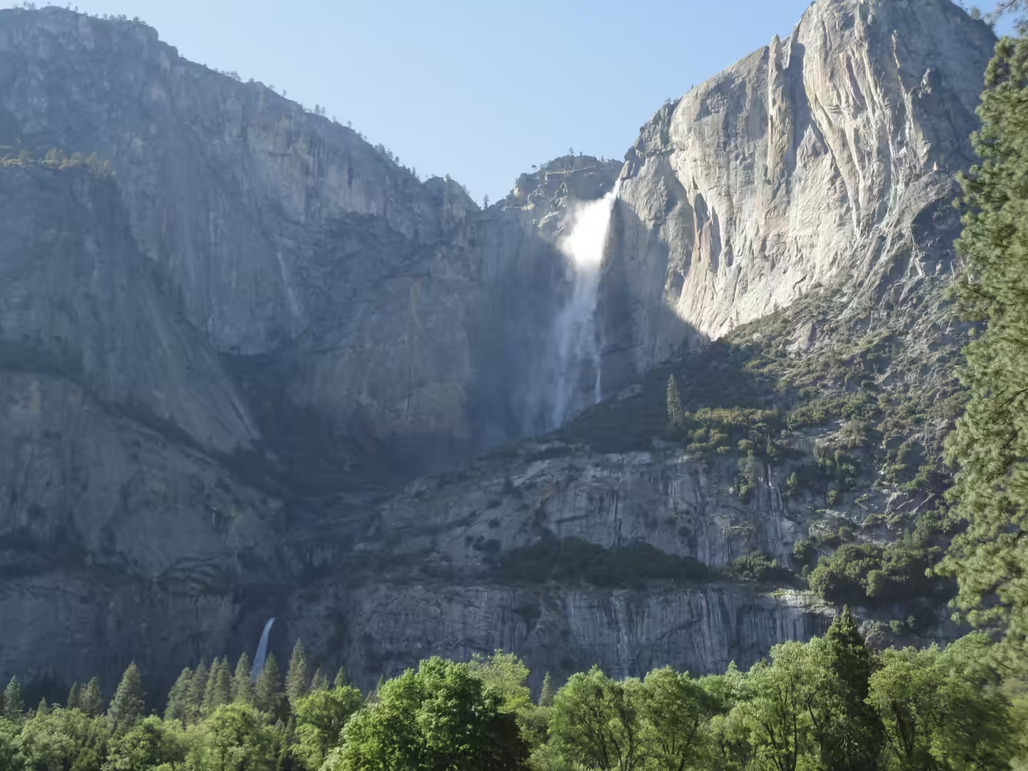
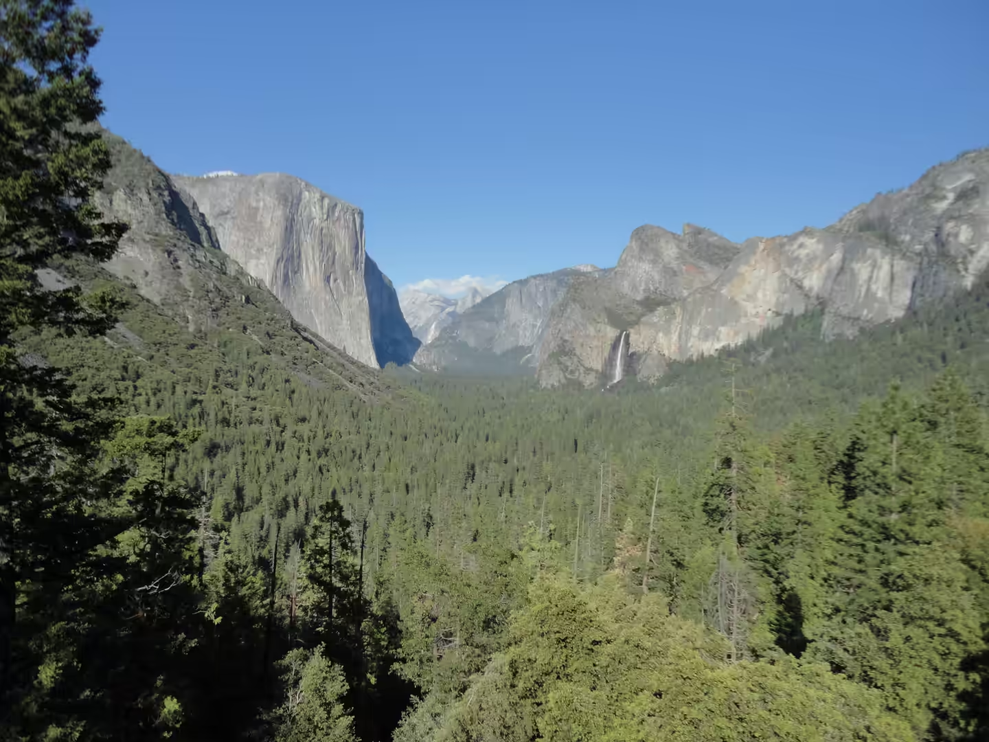
Yosemite Valley is the centre of the park and the reason most people come. It is a glacial valley drained by the Merced River, surrounded by high granite summits such as Half Dome and El Capitan and densely forested with pines, with streams and waterfalls flowing into it from every side, including Tenaya, Illilouette, Yosemite and Bridalveil Creeks. Yosemite Falls is the highest waterfall in North America and is at its strongest in spring, when the snowmelt from the high country is at its peak. From the valley floor the walls rise almost vertically, and the scale of the place becomes clear only when a climber is spotted on the face of El Capitan.
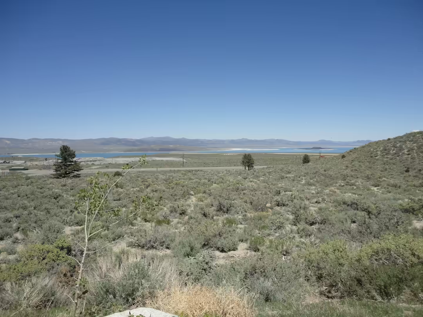
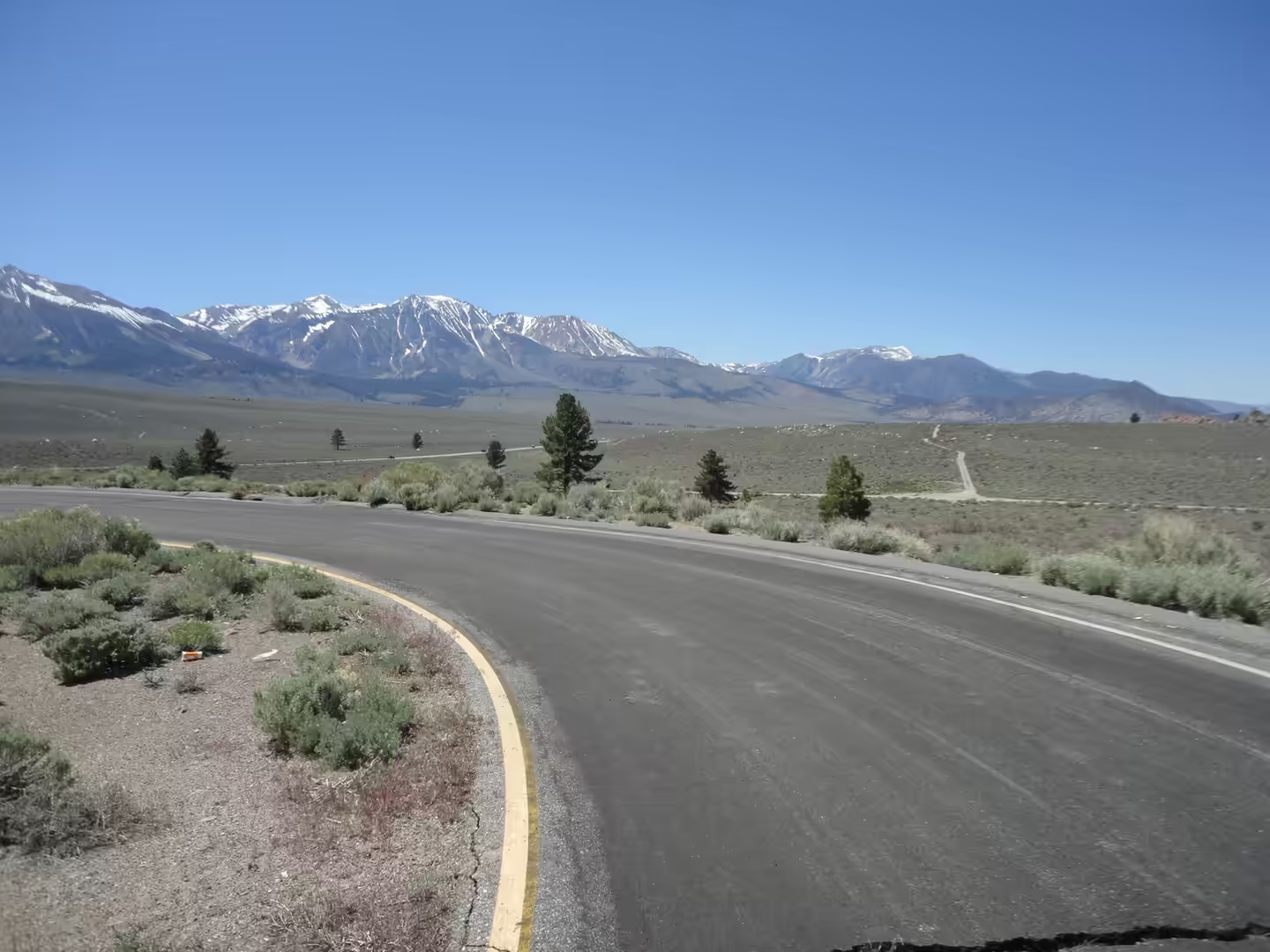
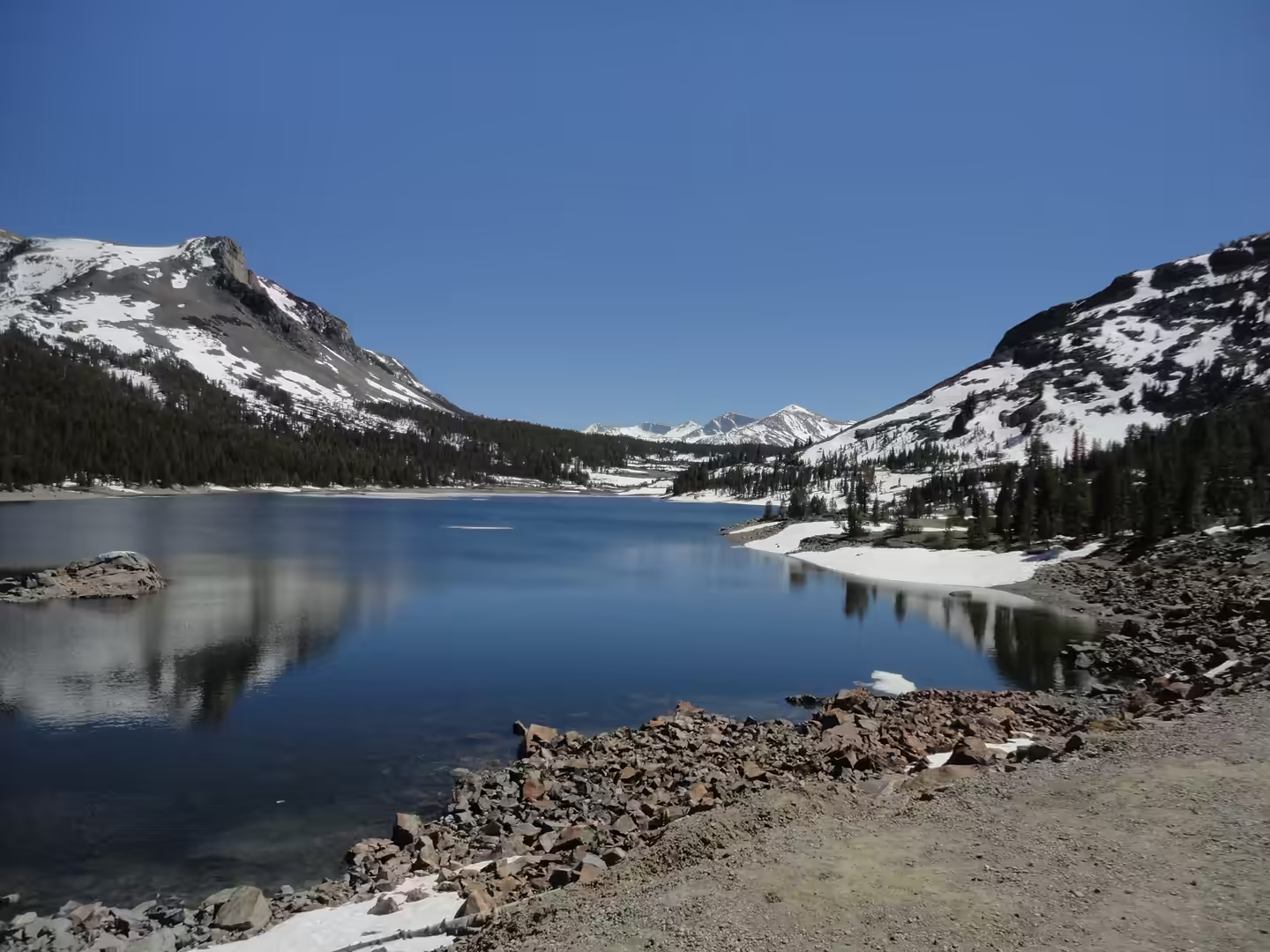
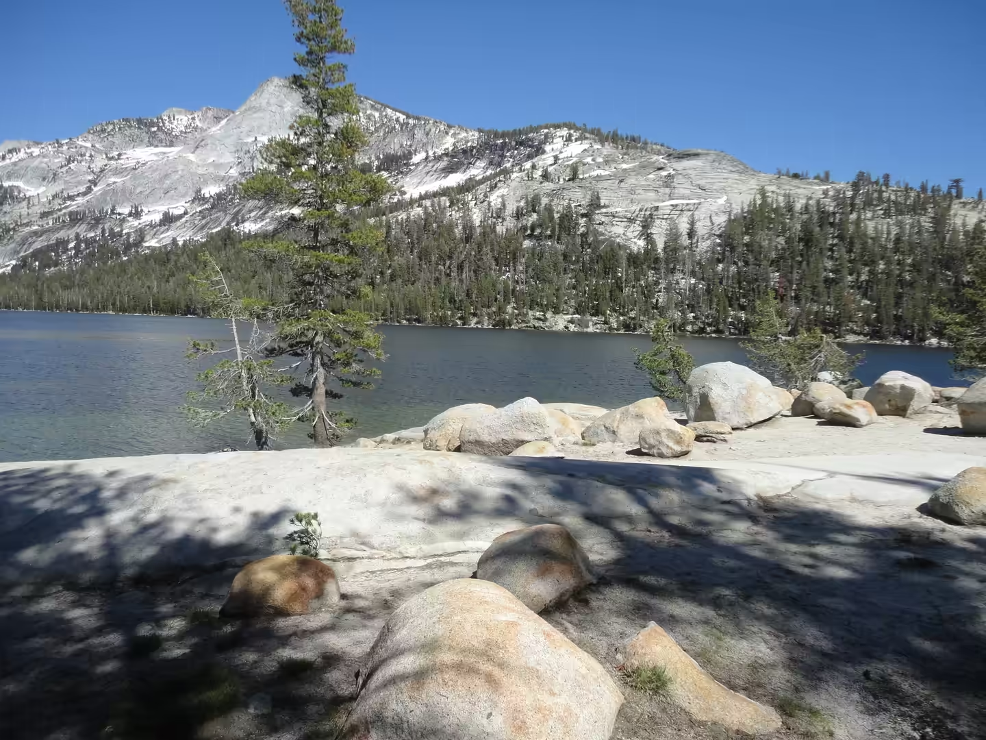
The road over the mountains to the east side is the second half of the day. The Tioga Road climbs out of the valley country onto the granite high country, passes a chain of small alpine lakes set in bare rock, and ends at the eastern escarpment above the Mono Basin. Beyond the pass the landscape changes sharply: sagebrush plains, volcanic hills and the blue expanse of Mono Lake, with the snow covered crest of the Sierra behind. The basin sits in the rain shadow of the range, which is why the country east of the crest is dry while the west side carries dense forest.
The road over the pass is State Route 120, and the pass is the highest highway pass in California and in the Sierra Nevada. It is closed by snow from about the end of October until the end of May in most years. The approach from the west is gradual, climbing through Tuolumne Meadows less than seven miles to the south west of the summit, while the eastern side falls away steeply and loses more than 900 metres before the road reaches US Route 395. Mount Dana stands to the east of the pass and Gaylor Peak to the west, and the name comes from the Tioga Mine, which took its own name from the Tioga River in New York, an Iroquois and Mohawk word meaning where it forks.
History
The valley was inhabited long before it was a park. The Ahwahneechee, a Southern Sierra Miwok people, lived in Yosemite Valley, and the Mono Lake Paiute lived on the eastern side of the range, with ties of trade and marriage across the crest; the basket weaver Lucy Telles, who worked in the first half of the twentieth century, came from a Mono Lake Paiute and Southern Miwok family and her baskets are still shown in the park museum. The end of that world came quickly. In 1850 California funded a state militia to drive Native people from contested territory, and the Mariposa Battalion entered the valley in 1851, naming El Capitan during their exploration.
Protection followed within a decade, and it started a new idea. Galen Clark and others lobbied to keep the valley from development, and on 30 June 1864 Abraham Lincoln signed an act of Congress ceding Yosemite Valley and the Mariposa Grove to the state of California, the first time land had been set aside by a national government specifically for preservation and public enjoyment. Criticism of the state’s stewardship followed, and the grove and valley were returned to federal control with the establishment of Yosemite National Park in 1890, the valley itself being ceded back by the state in 1906. In 1984 the park was inscribed as a UNESCO World Heritage Site.
Visitation is now the main pressure on the park. A record five million visitors came in 2016, and the number fell to 2,268,313 in 2020, when a reservation system was introduced to control entry. The Mariposa Grove of giant sequoias, in the southernmost part of the park, was closed in July 2015 for a restoration project and reopened in June 2018, with the road removed and the walks rebuilt so that the trees are no longer approached through parked cars. Traffic, parking and the reservation rules are the practical limits of a visit in summer, which is why the early hours matter more here than almost anywhere else in California.
Geology
Almost everything visible in Yosemite is granite, or an older rock carried by granite. The core of the range is the Sierra Nevada Batholith, a mass roughly 400 miles long and 60 to 80 miles wide, built from many individual plutons that intruded deep underground during separate episodes of magma emplacement millions of years before the mountains themselves rose. Most of that magma cooled below the surface and stayed buried for millions of years; the same magmas that reached the surface produced volcanic rocks that have largely been eroded away. Half Dome is quartz monzonite, an igneous rock that solidified several thousand feet down, and it is a classic example of the batholith at the surface.
The shape of the valley came later. About 10 million years ago the Sierra Nevada was uplifted and tilted, which steepened the stream beds and cut deep narrow canyons into the rising block. About one million years ago glaciers formed at higher elevations and moved downslope, cutting and sculpting the U shaped valley that visitors see today, with the Merced River now running along its floor. The ice removed the shattered rock from the walls and left the smoothed surfaces that make the granite look polished, and the same ice deposited the moraines and debris that form the flatter ground near the valley entrance.
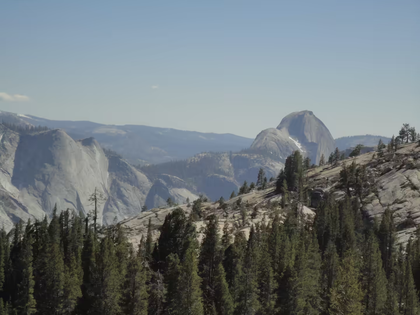
Erosion after the ice is written into the landmarks. Half Dome is not in fact a dome with one side cut away: seen from Washburn Point it is a thin ridge of rock, an arête, running north east to south west, with one sheer face. El Capitan is a vertical granite formation on the north side of the valley near its western end, about 900 metres from base to summit along its tallest face, named by the Mariposa Battalion in 1851 after the Miwok name for the cliff, which was understood to mean rock chief. The summit of Half Dome was first reached in October 1875 by George Anderson, who drilled holes and fixed iron eye bolts into the smooth rock to do it.
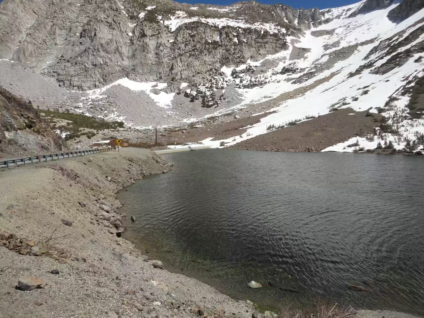
Water moves through the same granite. Snowmelt and rain from the high country collect in the uplands and are channelled through joints and along the valley walls, which is why the waterfalls run strongest in May and June and shrink to a trickle or nothing by late summer. Yosemite Falls, the highest in North America, is the most dramatic example, but Bridalveil, Illilouette, Tenaya and the smaller cascades all follow the same pattern. In the high country above the valley, the same water lies in shallow basins on the granite, forming the alpine lakes that line the Tioga Road, and east of the crest it drains into the closed basin of Mono Lake, where it has no outlet to the sea.
Mono Lake is at least 760,000 years old and has no outlet to the sea, which is why its water is both saline and alkaline: salts accumulate because the only way out is evaporation. Before 1941 the lake averaged about 50 grams of salt per litre, against 31.5 grams for the world ocean. After the city of Los Angeles began diverting the streams that feed it, the level fell and salinity nearly doubled, reaching 99 grams per litre at the lowest level in January 1982 before recovering to 78 grams by 2002. The ecosystem rests on brine shrimp and on the alkali fly Ephydra hians, and it supports about two million migratory birds a year. The Kutzadika’a, the indigenous people of the basin, ate the pupae of the alkali fly, and the tufa towers along the shore were formed where calcium rich springs met the alkaline water of the lake.
Things to See
The approach through the foothills is worth attention in its own right, because it shows the transition the park sits at the end of. Oak woodland and grassland give way to pine as the road climbs, and the older settlements along the route, with their schoolhouses, barns and stone walls, belong to the mining and ranching period that preceded tourism. In spring the roadside is green and the creeks are full; by late summer the same country is dry and dusty. Fuel and water should be taken before the last climb, since services inside the park are limited and crowded.
In the valley the classic views are all within a short drive of each other. El Capitan is seen from the meadow at its base and from the Valley View turnout on the Merced River, Half Dome from the eastern end of the valley and from the trails on the south side, and Yosemite Falls from the roads and paths near the village. Longer walks reach the base of the falls, the top of Nevada Fall, or the dome itself by the cable route in summer, which requires a permit. Climbers on the big walls of El Capitan can often be seen through binoculars from the meadow, and the routes there include aid, free and free solo ascents.
The Mariposa Grove is the third fixed point of a visit. It is the largest grove of giant sequoias in the park, with several hundred mature specimens, and two of its trees are among the thirty largest giant sequoias in the world; about a million people walk there each year. The grove was first seen by non-native visitors in 1857, when Galen Clark and Milton Mann found it and named it after Mariposa County. The walks among the sequoias are gentle and shaded, in contrast to the granite above, and the restored layout keeps vehicles out of the grove itself.
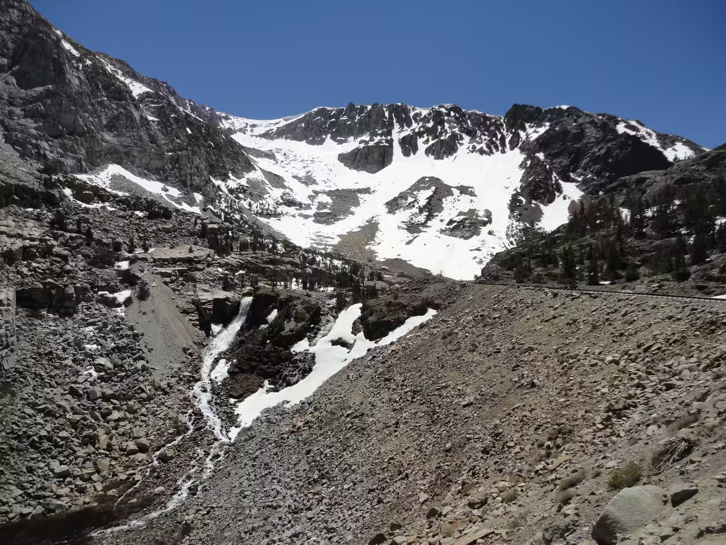
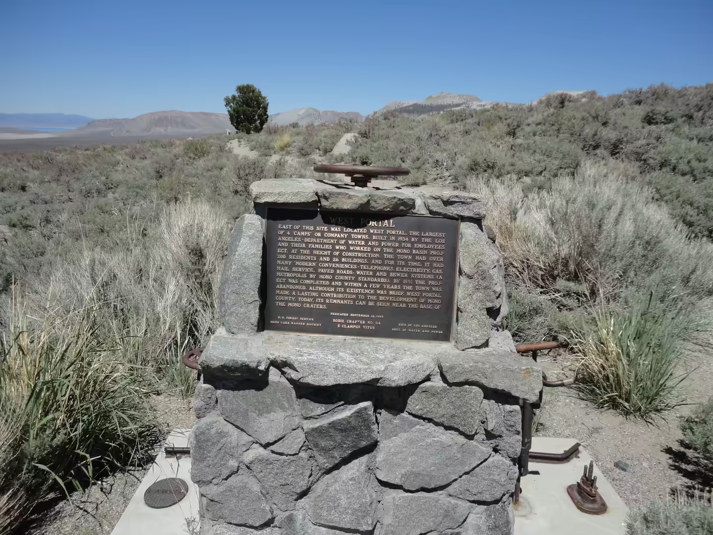
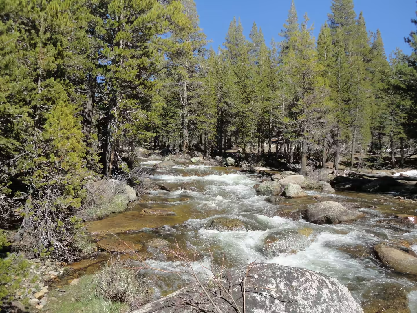
The drive over the Tioga Road and down to the Mono Basin is the last part of the day and the most varied. Small alpine lakes lie in granite bowls beside the road, with snow patches persisting into midsummer on the north facing slopes, and the creeks that cross the road run fast and cold. Beyond the pass the road descends through sagebrush to the eastern side, where Mono Lake spreads out below volcanic hills and the Sierra crest stands behind it. Historic markers along the way record the emigrant and mining traffic that used this corridor, and the light on the lake at the end of the afternoon is the reason many travellers stop here for the night.
References
- Bateman, P. C. (1992). Plutonism in the central part of the Sierra Nevada Batholith, California. United States Geological Survey Professional Paper 1483. doi.org/10.3133/pp1483
- Dunn, J. R. (1953). The origin of the deposits of tufa in Mono Lake. Journal of Sedimentary Research 23, 18-23. doi.org/10.1306/d4269530-2b26-11d7-8648000102c1865d
- Herbst, D. B. (1990). Distribution and abundance of the alkali fly (Ephydra hians) Say at Mono Lake, California, in relation to physical habitat. Saline Lakes, 193-205. doi.org/10.1007/978-94-009-0603-7_17
- Herbst, D. B. & Bradley, T. J. (1993). A population model for the alkali fly at Mono Lake: depth distribution and changing habitat availability. Saline Lakes V, 191-201. doi.org/10.1007/978-94-011-2076-0_15
- Jellison, R., Anderson, R. F., Melack, J. M. and others (1996). Organic matter accumulation in sediments of hypersaline Mono Lake during a period of changing salinity. Limnology and Oceanography 41, 1539-1544. doi.org/10.4319/lo.1996.41.7.1539
- Vistelius, A. & Harbaugh, J. (1981). Granitic rocks of Yosemite valley and an ideal granite model. International Journal of Rock Mechanics and Mining Sciences 18, 2. doi.org/10.1016/0148-9062(81)90291-6
- National Park Service (2026). Yosemite National Park. nps.gov/yose
- Wikipedia contributors (2026). El Capitan. en.wikipedia.org/wiki/El_Capitan
- Wikipedia contributors (2026). Half Dome. en.wikipedia.org/wiki/Half_Dome
- Wikipedia contributors (2026). Mariposa Grove. en.wikipedia.org/wiki/Mariposa_Grove
- Wikipedia contributors (2026). Miwok. en.wikipedia.org/wiki/Miwok
- Wikipedia contributors (2026). Mono Lake. en.wikipedia.org/wiki/Mono_Lake
- Wikipedia contributors (2026). Sierra Nevada Batholith. en.wikipedia.org/wiki/Sierra_Nevada_Batholith
- Wikipedia contributors (2026). Tioga Pass. en.wikipedia.org/wiki/Tioga_Pass
- Wikipedia contributors (2026). Yosemite Falls. en.wikipedia.org/wiki/Yosemite_Falls
- Wikipedia contributors (2026). Yosemite National Park. en.wikipedia.org/wiki/Yosemite_National_Park
- Wikipedia contributors (2026). Yosemite Valley. en.wikipedia.org/wiki/Yosemite_Valley