Day 3 - Mesa Verde National Park


Journal Notes
General
Mesa Verde National Park lies in Montezuma County in south western Colorado, near the Four Corners region where Colorado, Utah, Arizona and New Mexico meet. It is the only World Heritage Site in Colorado and the largest archaeological preserve in the United States, holding more than 5,000 known sites, of which about 600 are cliff dwellings. The park was established by Congress and President Theodore Roosevelt in 1906, largely because of what had been found in its alcoves during the preceding twenty years. The Spanish name means green table, and the mesa is exactly that: a high flat plateau of woodland and shallow valleys rising above the surrounding desert country.
The buildings are what people come to see, and they are best understood as the end of a long story rather than a beginning. The Ancestral Puebloans, also called the Ancestral Pueblo peoples or the Basketmaker Pueblo culture, were an ancient Native American culture spanning the present day Four Corners region, covering south eastern Utah, north eastern Arizona, north western New Mexico and south western Colorado. They are thought to have developed at least in part from the Oshara tradition, and they lived in a range of structures over the centuries: small family pit houses, larger buildings for clans, grand pueblos, and finally the cliff sited dwellings built for defence.
The population of the mesa was never large by modern standards but it was concentrated. Numbers are estimated at roughly 1,000 to 1,500 people in the early period of settlement, and by 860 there were approximately 8,000 living in the area, which is a great many for a dry plateau with a short growing season. Crops were grown on the flat tops rather than in the canyons, and the alcoves below were storage places and later homes. The park today is quiet in the way of any high plateau: pinyon and juniper woodland, dry grass, and long views across the canyon system to the La Plata and San Juan mountains.
Cliff Palace, the largest cliff dwelling in North America, is the single image most visitors carry away. It was built and lived in from about 1200 to 1300 AD and abandoned by 1300, and the reasons are still debated; a series of megadroughts that broke the food production system is the explanation most often advanced. The site was rediscovered in 1888, and although it was known to local ranchers before that, it was not formally excavated by an archaeologist until 1906, when the park was established. The same ranchers, Wetherill and Mason, also came upon Spruce Tree House and Square Tower House nearby.
Visiting the park takes a full day at least, because the sites are spread along a deep canyon system and the road climbs steadily from the entrance. Some of the alcoves can be reached on foot on ranger led walks, and the climb in and out is short but steep: the walk into Cliff Palace descends about thirty metres over roughly four hundred metres of path, with ladders where the original access was. The remaining sites are seen from the rim, where the alcoves, the masonry below and the canyon beyond can be taken in at once.
History
The Ancestral Puebloan presence on the mesa goes back far beyond the cliff dwellings. From the end of the last ice age the region was used seasonally by nomadic groups, and the transition to farming, to settled villages and to pottery marks the beginning of the Puebloan sequence. For a long period the villages were small: over a span of about 150 years, settlements typically consisted of one to three residences, which suggests a countryside of scattered households rather than towns. Drought at the end of the ninth century made dry land farming unreliable, and the response was to concentrate crops near the drainages where some moisture could be relied upon.
The classic period of the cliff dwellings is late and short. The great alcove villages such as Cliff Palace were built in the thirteenth century, and the whole population of the mesa during that phase has been estimated at only about 1,000 to 1,500 people, living in a landscape that had previously held far more. The move into the alcoves is generally read as a move for safety in a period of stress, and the abandonment of the mesa by 1300 as the end of that attempt. The people did not vanish; they moved, and their descendants are among the Pueblo nations of Arizona and New Mexico today.
Later centuries brought other peoples through the same country. The Ute and Navajo came into the region from different directions, and the Spanish empire claimed the area without settling it. The United States acquired the Four Corners region from Mexico after the Mexican American War in 1848, and in 1863 Congress created the Arizona Territory from the western part of the New Mexico Territory, drawing a boundary that runs due south from the corner. Most of the Four Corners region today belongs to semi-autonomous Native American nations, the largest of which is the Navajo Nation, followed by the Hopi, Ute and Zuni reserves and nations.
The archaeology of the region is also a record of how knowledge was gathered and lost. The name Anasazi was used for decades for the builders of these towns; it was applied by Alfred Kidder in the Pecos Classification of 1927, who mistakenly believed the word meant old people in the Navajo language, and it has since been replaced by Ancestral Puebloans in most professional writing. Excavation at the time was often little better than collecting, and the park was created in part to stop it. What remains is the largest archaeological preserve in the country, still being surveyed, and still yielding evidence of how a dense population farmed a dry plateau and then left it.
The Ancestral Puebloan world was larger than the mesa itself, and it was connected. Archaeologists have identified eight main roads running out from the great pueblo of Pueblo Bonito in Chaco Canyon, together more than 180 miles long and more than thirty feet wide, built on a scale that implies organised labour and a purpose beyond farming. Room 33 in the same building held the richest burial ever excavated in the Southwest and served as a crypt for one powerful lineage traced through the female line for about 330 years. Mesa Verde belongs to the same world, and its population moved within a network of communities rather than in isolation; the abandonment of the alcoves around 1300 has to be read against that wider map.
Geology
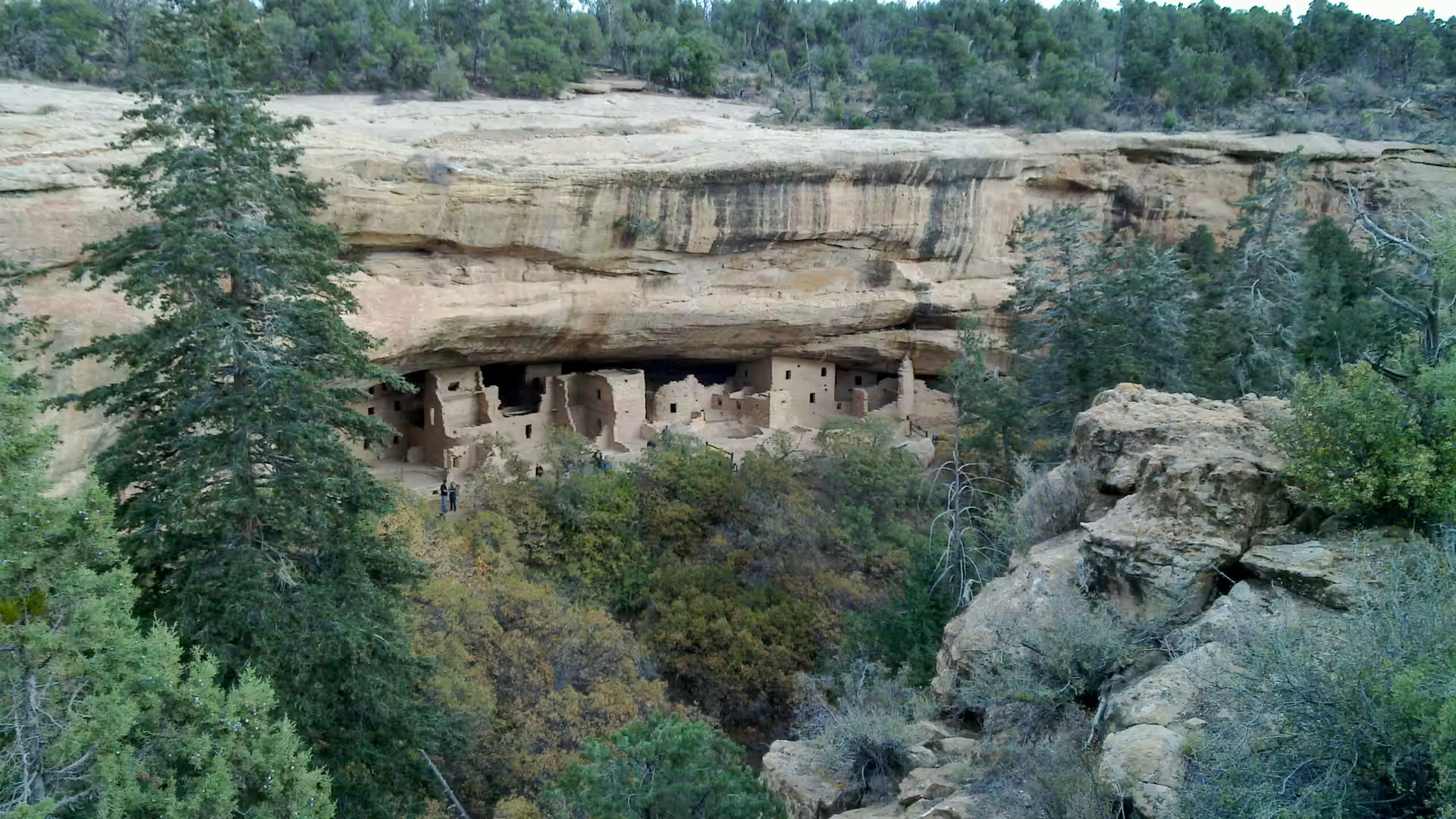
Mesa Verde is a plateau of layered sedimentary rock, and the alcoves that hold the cliff dwellings are a product of the layers themselves. The mesa is capped by resistant sandstone, below which lie softer beds of shale and weaker sandstone; groundwater moving along the contact between the hard cap and the soft rock undermines it, and the softer beds are hollowed out faster, leaving the deep overhangs that the builders used. Where the process continues, blocks of the cap fall away and the alcove grows, which is why the ruins are protected from rain but not from the slow failure of the rock behind them.
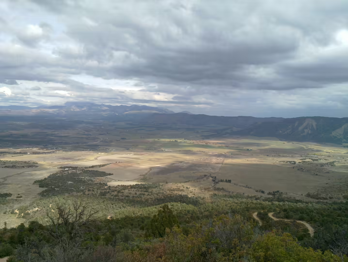
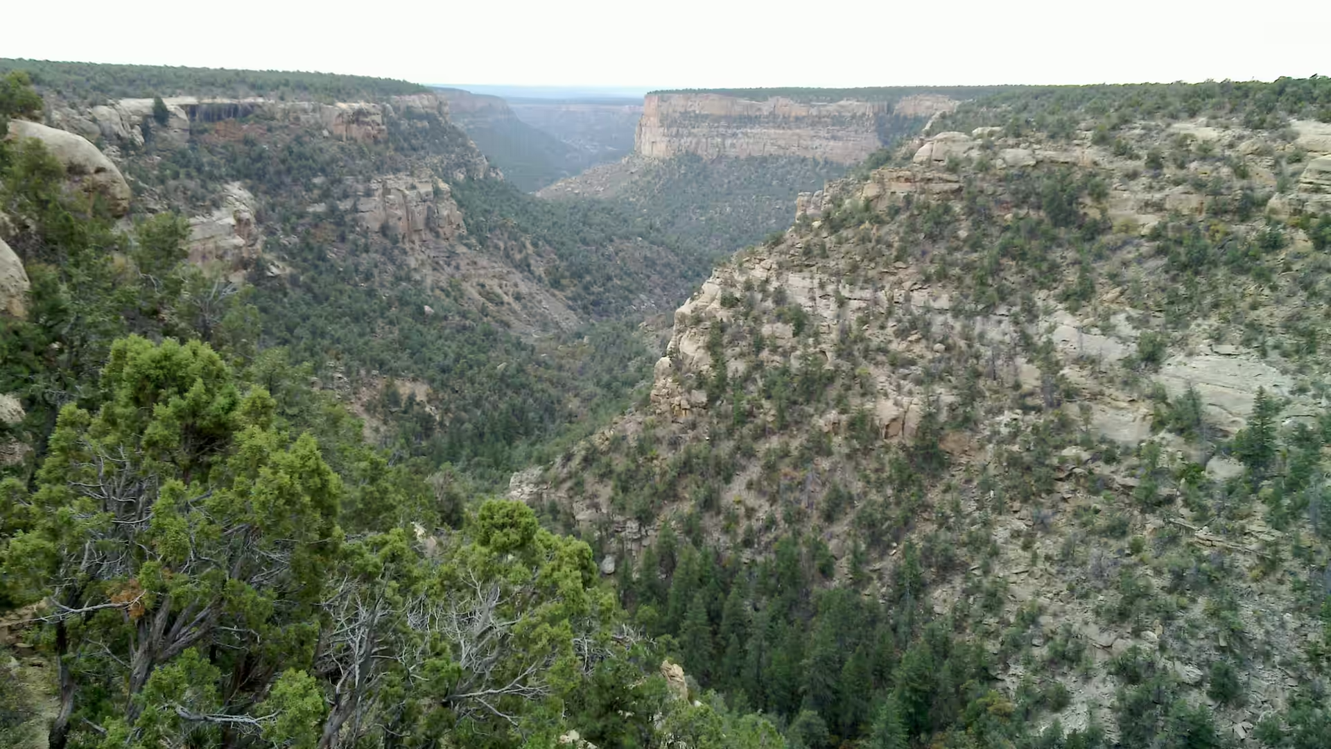
The wider setting is the Colorado Plateau, a large area of uplifted sedimentary rock that lies across the Four Corners states and is cut by the canyons of the Colorado, San Juan and Little Colorado rivers. The plateau was lifted rather than folded, so its rocks remain close to the horizontal, and the landscape consists of flat topped mesas, deep canyons and stepped benches where the harder and softer layers weather differently. The view from the rim of Mesa Verde shows the system clearly, with the canyon cut into the softer beds and the mesa top standing as a level surface above it.
Water and soil are the practical geology of the mesa. Rainfall is low, and much of it arrives in summer thunderstorms that run off quickly; what matters for farming is the water that soaks in and stays in the upper soil. The mesa top is covered with soil formed from the weathered rock, and the growers of the classic period worked small fields near the heads of the canyons and built check dams and terraces to hold both soil and water. That strategy is what failed in the droughts of the thirteenth century, and the cliff dwellings are the last phase of a farming system pushed beyond its limits.
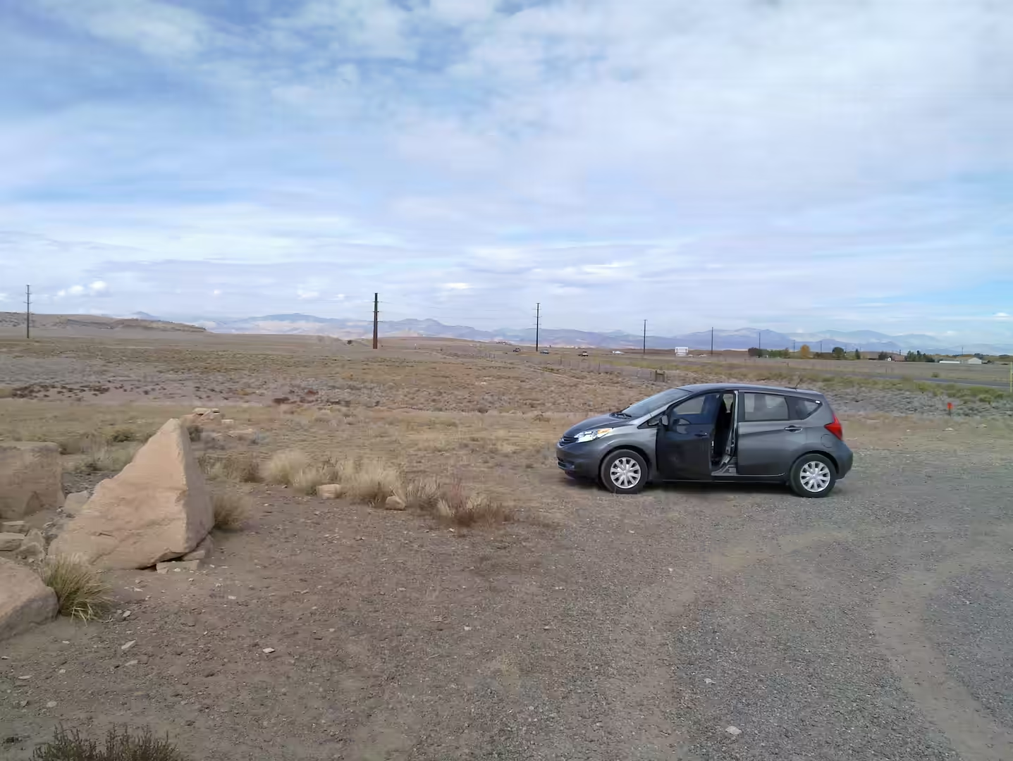
Below the level of the mesa the country is dry and deeply cut. The canyons that surround the park carry springs, seeps and small permanent streams in places, and these were important for the villages sited inside the alcoves. The surrounding land is largely sandstone and shale country with scattered volcanic rocks, and the distant ranges, including the La Plata and San Juan mountains, are eroded uplands of older and harder material. The transition from mesa to canyon, and from woodland to desert, happens over a few miles of driving on the way down.
Things to See
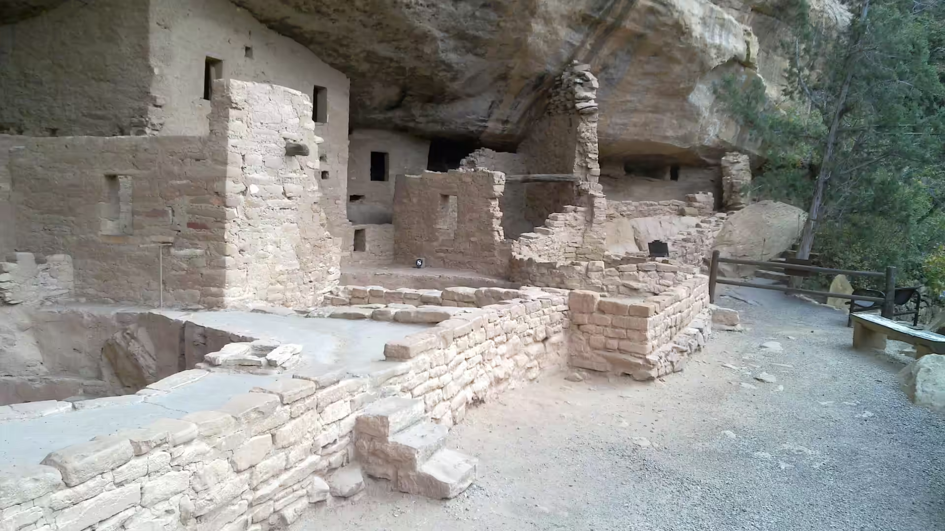
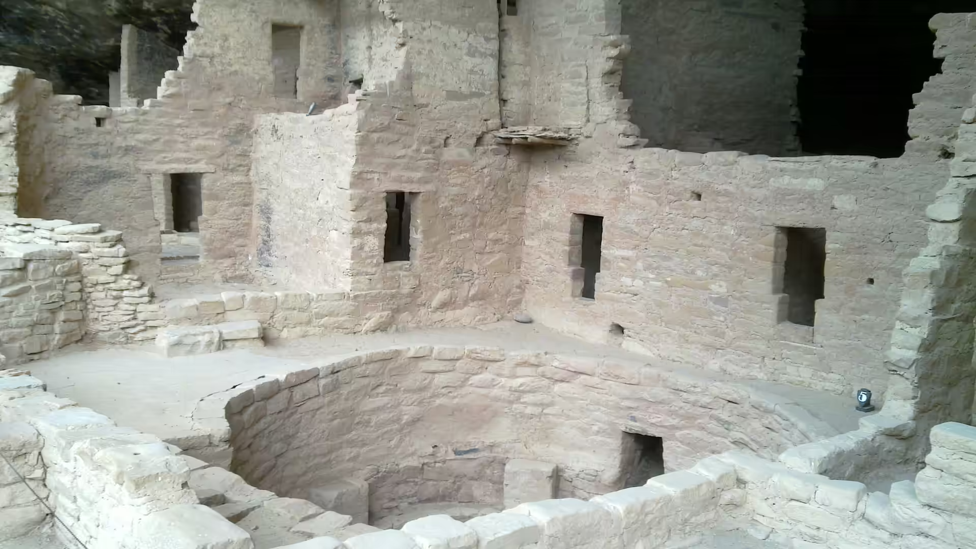
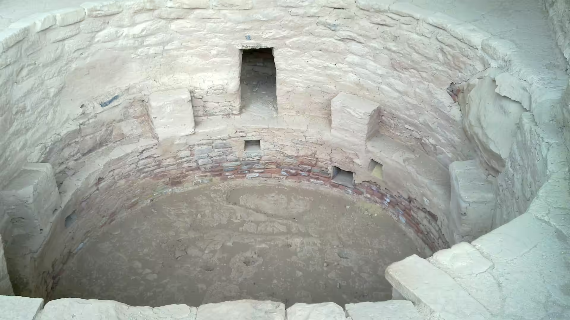
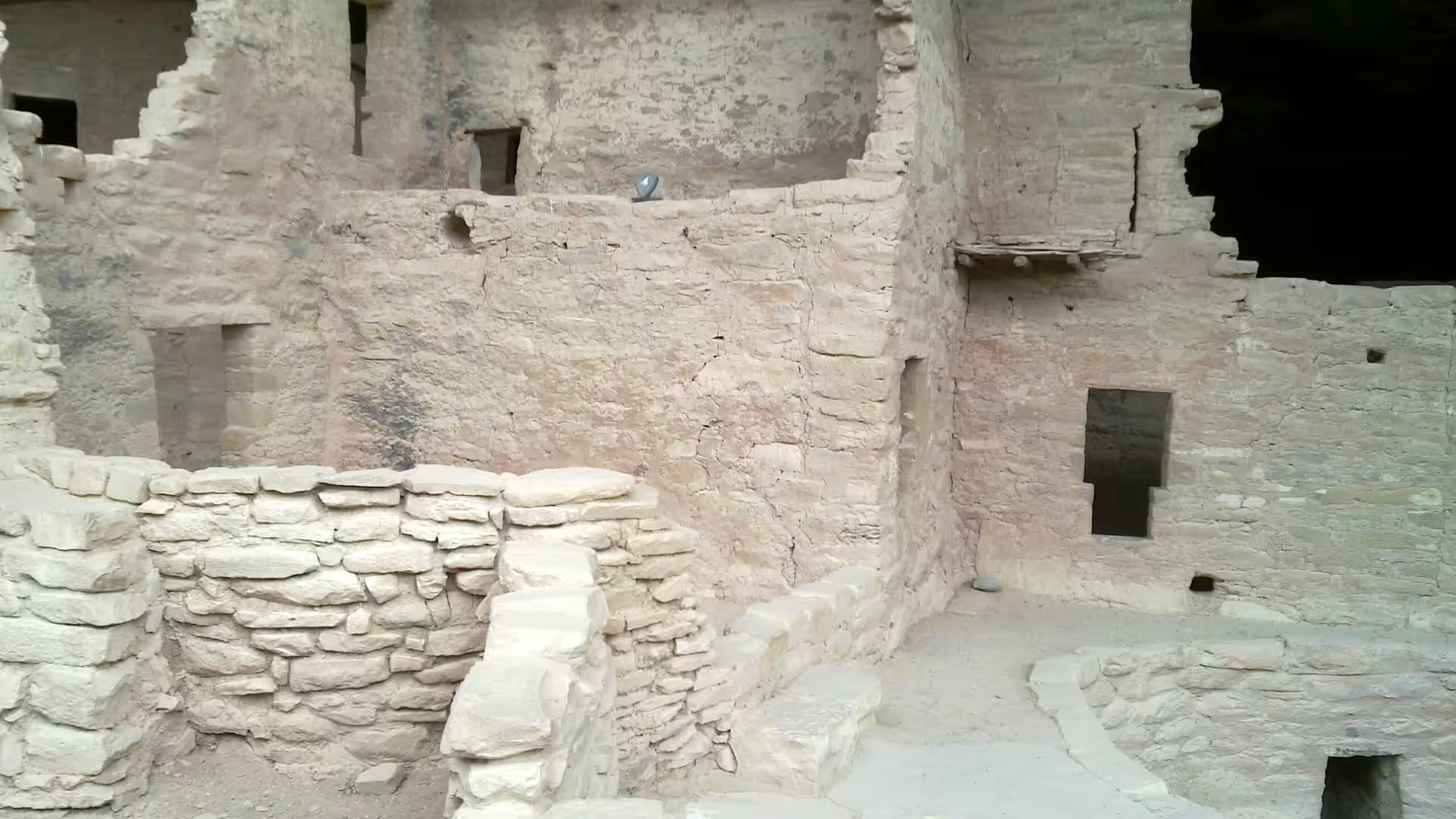
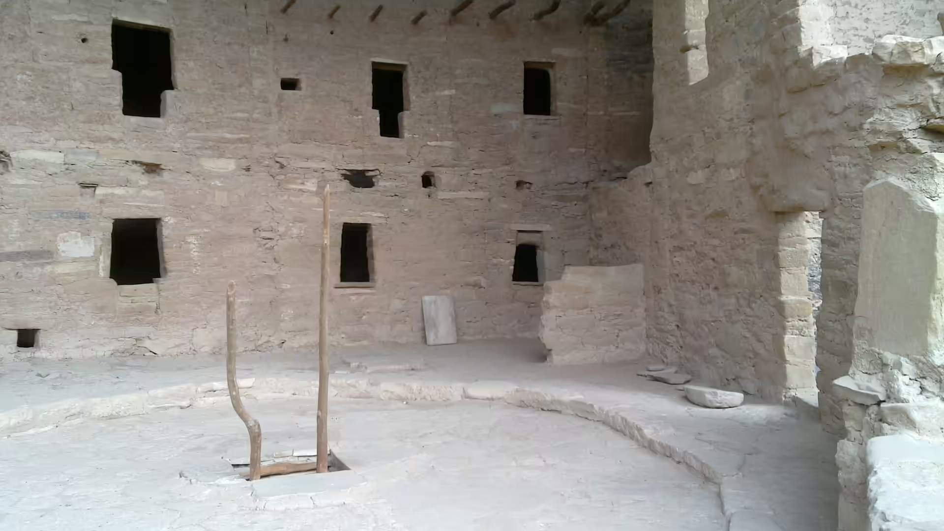
Cliff Palace is the first stop and the busiest. Seen from the overlook opposite, the alcove holds a cluster of towers, round rooms and walls that reads as a small town built into a single cave, and the scale becomes clear only when people appear on the path below. The masonry is laid in careful courses with shaped stones and mud mortar, the roof beams of the upper rooms are original timber in places, and the round kivas, the ceremonial rooms, stand partly sunk beneath the level of the plaza. The ranger walks that enter the building are short, steep and limited in number, so they need to be reserved.
The other alcove sites along the rim road fill in the picture. Spruce Tree House and Square Tower House can be seen from their own overlooks, and the smaller dwellings and the storage rooms in the cliff walls show how the population distributed itself along the canyon rather than concentrating in the two or three showpieces. At several stops the original access routes can still be made out: hand and foot holds cut into the rock, small steps, and ledges wide enough for one person, which is the whole point of the position and the reason the sites survived being abandoned.
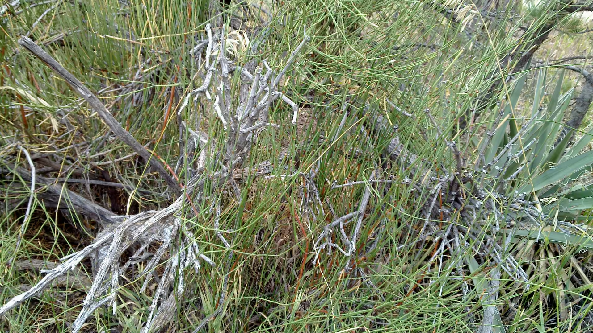
The land above the alcoves is worth a walk in its own right, and it explains the archaeology better than the ruins do. The mesa top holds pinyon and juniper woodland, dry grass, and in summer the stems of yuccas and other fibrous plants that were used for cordage and sandals. Trails run along the rim and into the shallow valleys between the canyon systems, and a walk of an hour crosses ground that was farmed, planted and then left. The park also keeps a small museum at the entrance with pottery and stone tools found in the area.
On the way out, the drive down from the mesa gives the wider view. The canyon system opens below the rim, the layered walls step down to the valley floor, and the dry plains beyond run to the mountains. It is a landscape of hard edges and long distances, and it explains why the alcoves of Mesa Verde were chosen: water below, fields above, and rock deep enough to shelter a whole community from the weather and from other people. For anyone travelling through the Four Corners country this is the archaeological anchor of the journey, and it is best visited early in the day before the groups arrive.
References
- Birdsall, W. R. (1891). The Cliff Dwellings of the Cañons of the Mesa Verde. Journal of the American Geographical Society of New York 23, 584-604. doi.org/10.2307/196602
- Kohler, T. A. & others (2019). The Study Area and the Ancestral Pueblo Occupation. Emergence and Collapse of Early Villages: Models of Central Mesa Verde Archaeology. doi.org/10.1525/9780520951990-004
- Wikipedia contributors (2026). Ancestral Puebloans. en.wikipedia.org/wiki/Ancestral_Puebloans
- Wikipedia contributors (2026). Basketmaker culture. en.wikipedia.org/wiki/Basketmaker_culture
- Wikipedia contributors (2026). Chaco Culture National Historical Park. en.wikipedia.org/wiki/Chaco_Culture_National_Historical_Park
- Wikipedia contributors (2026). Cliff Palace. en.wikipedia.org/wiki/Cliff_Palace
- Wikipedia contributors (2026). Domínguez-Escalante Expedition. en.wikipedia.org/wiki/Domínguez-Escalante_Expedition
- Wikipedia contributors (2026). Four Corners. en.wikipedia.org/wiki/Four_Corners
- Wikipedia contributors (2026). Kiva. en.wikipedia.org/wiki/Kiva
- Wikipedia contributors (2026). Mesa Verde National Park. en.wikipedia.org/wiki/Mesa_Verde_National_Park
- Wikipedia contributors (2026). Oshara tradition. en.wikipedia.org/wiki/Oshara_tradition
- Wikipedia contributors (2026). Pit house. en.wikipedia.org/wiki/Pit_house
- Wikipedia contributors (2026). Pueblo Bonito. en.wikipedia.org/wiki/Pueblo_Bonito