Day 5 - Canyonlands Utah


Journal Notes
General
Canyonlands National Park lies in south eastern Utah near the town of Moab, and it protects a colourful landscape that the Colorado River, the Green River and their tributaries have eroded into countless canyons, mesas and buttes. The park was created by legislation signed by President Lyndon B. Johnson on 12 September 1964, after several years of debate, and it is divided into four districts: the Island in the Sky, the Needles, the Maze, and the rivers themselves, the Green and the Colorado, which have cut two large canyons into the Colorado Plateau. The districts share a primitive desert atmosphere and nothing else; each has its own character and its own access road.
The Island in the Sky is the district most visitors see, because it is the closest to Moab and the easiest to reach. It is a broad mesa standing between the two rivers, with a rim road connecting a series of overlooks, and from its edge the whole canyon system is laid out below: the White Rim, the confluence of the Green and the Colorado, and layer after layer of rock running to the horizon. The Needles, to the south east, is a land of tall rock spires and sandy trails, and the Maze, on the west side, is the most remote part of the park, reached only by long dirt roads and multi day routes.
The scale of the place is hard to judge from a single viewpoint and easy to misjudge on foot. Distances that look short from the rim involve descents of hundreds of metres, and the park’s own guidance treats most of its backcountry as a serious undertaking requiring water, navigation and time. Since 2007 more than 400,000 people have visited the park each year, with a record of 911,594 in 2021, and yet almost all of them stay within a few hundred metres of the rim road. A short walk away from the car parks puts a visitor into country that feels entirely empty.
The writer Edward Abbey, who visited the area often, described the Canyonlands as the most weird, wonderful and magical place on earth with nothing else like it. That judgement has been quoted ever since, and it captures something real about the landscape: it is not beautiful in the way of a mountain range or a coastline, but strange, eroded and repetitive in a way that takes time to read. The park is also a dark sky area, and its nights are as important as its days, with the canyon rims providing the kind of horizon that makes the sky look larger than it does at lower elevations.
History
The campaign to protect this country was long and argued. In 1961 the Secretary of the Interior, Stewart Udall, was scheduled to address a conference in Grand Canyon National Park and used the occasion to press for protection of the canyon country of Utah, which at that time had no national park at all. The proposal met opposition from mining and grazing interests and from the state, and it took several years of debate before the legislation was signed in September 1964. The result was a park created later than its neighbours and with a shape drawn around the rivers rather than around a single feature.
People had used this landscape for a very long time before that. A geographically detached section of the park north of the Maze district, Horseshoe Canyon, contains panels of rock art made by hunter gatherers, and the wider region holds evidence of Archaic and later Puebloan and Ute occupation. The rivers were routes as well as barriers: the Green was known to the Shoshone as the Seeds-kee-dee-Agie, the Prairie Hen River, and in 1776 the Spanish friars Silvestre Vélez de Escalante and Francisco Atanasio Domínguez crossed it near present day Jensen while looking for a route between Santa Fe and California.
The modern history of the rivers is one of engineering as well as exploration. Dams and reservoirs were built on the Green and its tributaries from the 1950s onwards, the largest of them begun in the 1950s and finished in 1963, in projects that were highly controversial and opposed by conservationists. The same period brought mining to the surrounding country, and the roads built for it are now the dirt tracks used by visitors to reach the remote districts. The park’s own history therefore runs alongside the history of water and minerals in the Colorado Plateau.
There is one recent date in the record as well. On 27 March 2020 Canyonlands National Park was closed to prevent the spread of COVID-19, and it reopened later that year; the same period produced the park’s record visitation, as people looked for outdoor space within reach of home. That combination, closure followed by a record year, is a fair summary of how quickly the pressures on the American national parks have shifted in the last few years. Reservations and timed entry now apply in some seasons, and the rim road can be busy even when the backcountry is empty.
The rivers were the routes of the region long before there were roads. The Green River rises in the Wind River Range in Wyoming and crosses Colorado before entering Utah, and the Shoshone knew it as the Seeds-kee-dee-Agie, the Prairie Hen River. In 1776 the Spanish friars Silvestre Vélez de Escalante and Francisco Atanasio Domínguez crossed it near present day Jensen on an expedition that was looking for a route between Santa Fe and the missions of California; they turned back without finding one, and their journals are the first written record of this country by Europeans. The same rivers that made the canyons were the only highways through them.
Geology
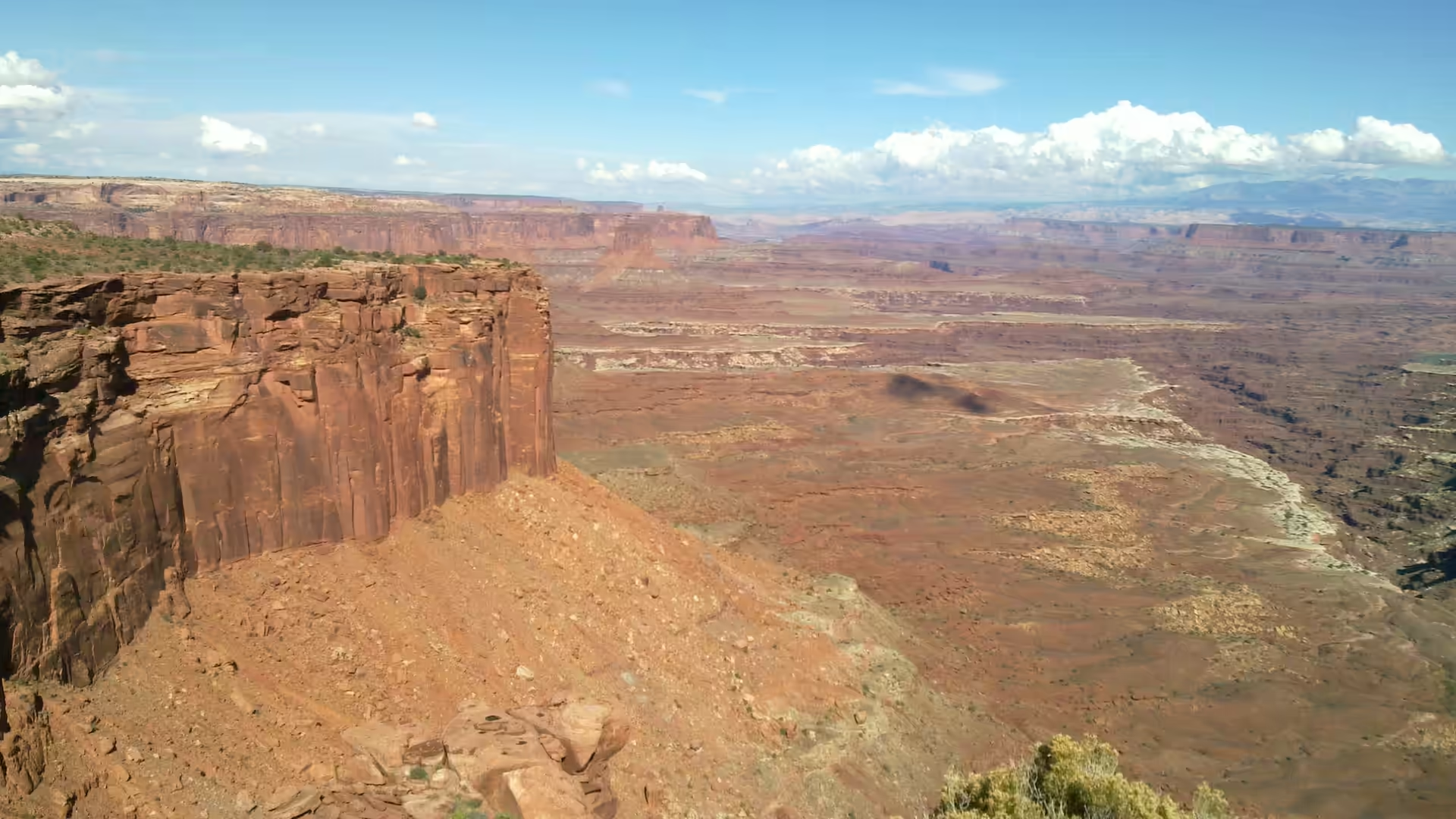
Canyonlands is a lesson in what rivers do to a plateau. The Colorado Plateau is a large block of the earth’s crust that has been lifted rather than folded, so its sedimentary layers lie close to horizontal, and erosion cuts down through them like a knife through a cake. Where a river has cut deeply, it exposes the whole stack, and the result is the terraced landscape of cliffs, slopes and benches that gives the park its characteristic stepped skyline. Because the beds are flat and different in hardness, the cliff lines run for miles at the same height.
The two rivers are the engineers. The Green River rises in Wyoming and flows through Colorado and Utah, and the Colorado comes down from the north east, and the two meet in the park at the confluence that the Island in the Sky overlooks. Between them they have cut the two great canyons, and their tributaries have cut the smaller ones, working along lines of weakness in the rock and capturing one another’s drainage as they go. The rivers in this stretch are loaded with sediment and are still cutting, so the canyon is a work in progress rather than a finished valley.
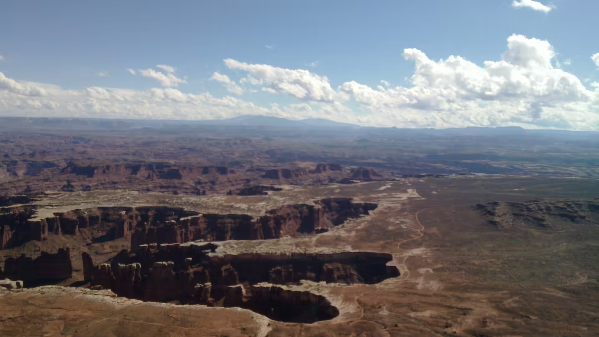
The landforms that result have their own vocabulary. A mesa is a flat topped hill with a top wider than its height, and a butte is the same shape with a top narrower than its height, the difference being simply how much has been eroded away; both words come from the Spanish and French used in the region long before the geologists arrived. The White Rim, the broad bench that runs below the Island in the Sky, is a hard layer that has resisted erosion and now stands above the softer rocks below it, and it gives the canyon its two step profile. The spires of the Needles are what is left when joints in the rock are widened into corridors and the intervening blocks are worn into towers.
Rock, sand and space are the three materials of the park. The exposed strata record environments that range from desert dunes to shallow seas, and the colours come from iron oxides and other minerals in the beds. Between the cliffs the ground is covered with wind blown and water worked sand, held in place by sparse vegetation and cut by dry washes, and the soil that does exist is fragile and slow to form. Tracks made by vehicles or boots can persist for decades in places where almost nothing grows, which is why the park keeps most of its traffic on defined roads and trails.
The colours and the layers are the practical geology of the park, and they are easy to read from the rim. Bands of red, orange, grey and white run along the canyon walls at consistent heights, because each band is a bed laid down across the whole region before the rivers cut into it; the reds come from iron oxides, and the paler beds from sandstones and limestones deposited in different environments. Where a hard layer caps a softer one, a bench or a rim forms, and where the jointing is close, the rock breaks into the towers and spires of the Needles. The same principles produce the arches of the neighbouring park to the north, which stands on the same plateau and is built of the same materials.
Things to See
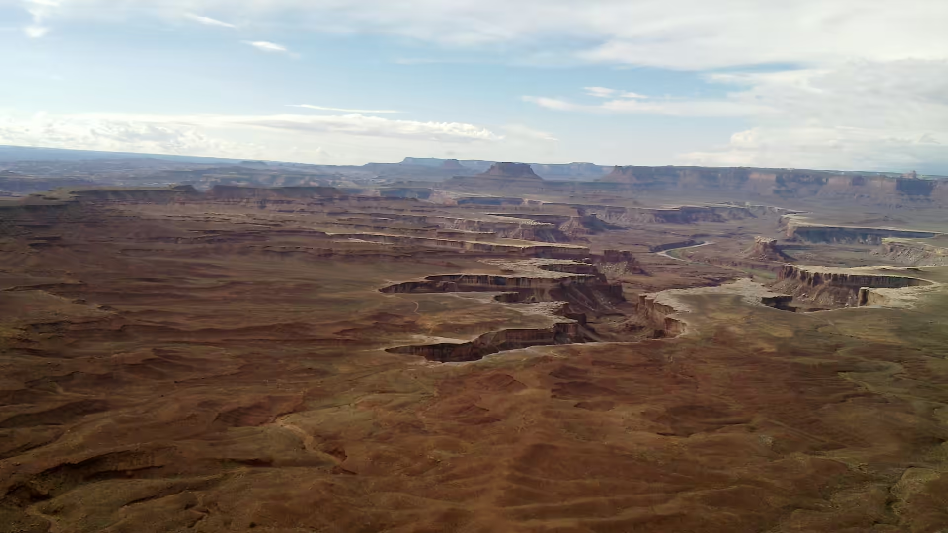
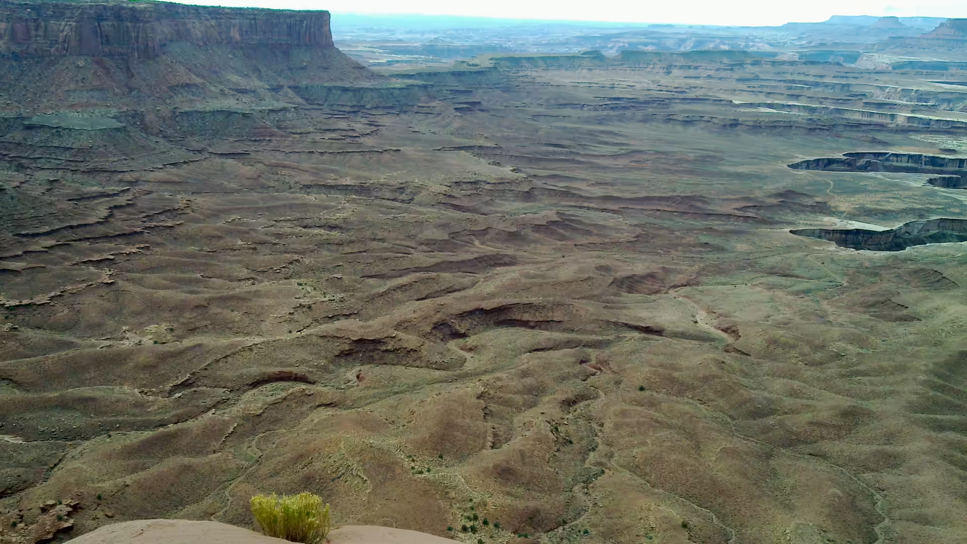
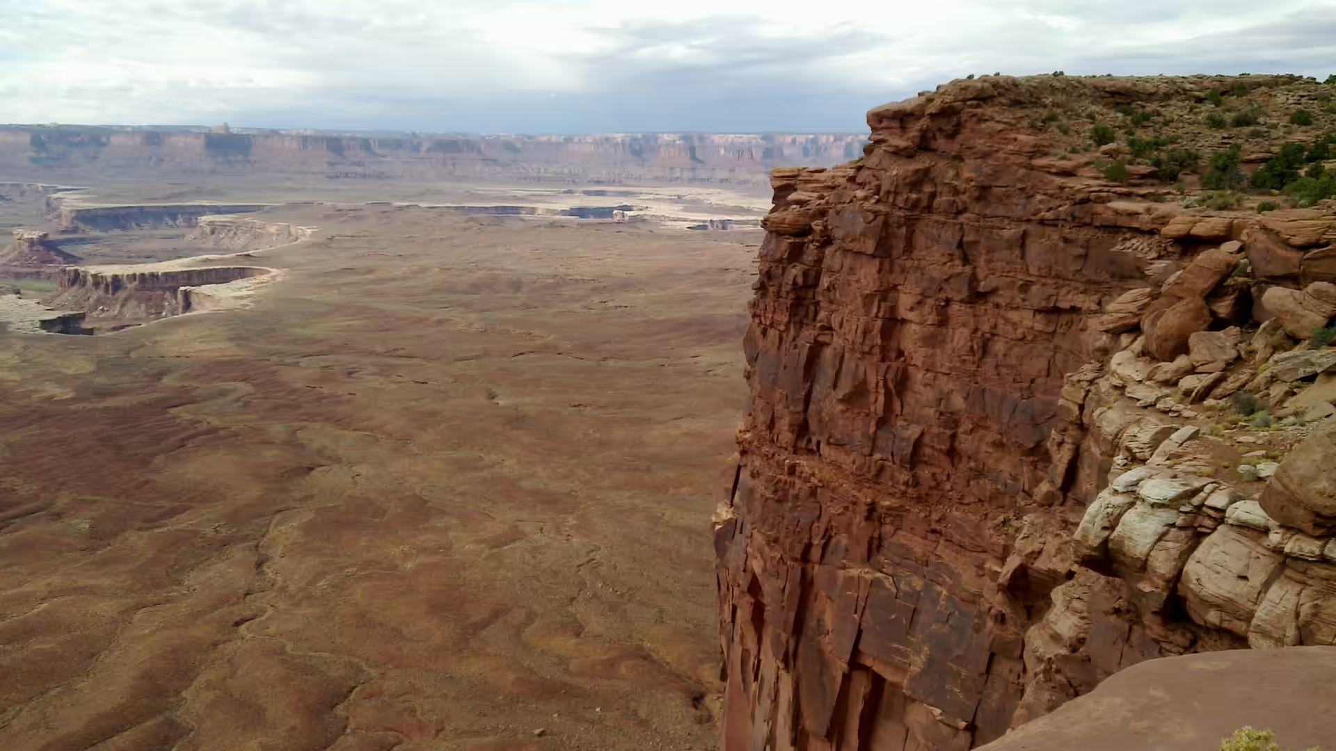
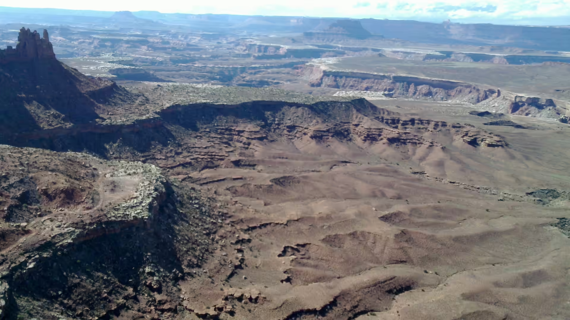
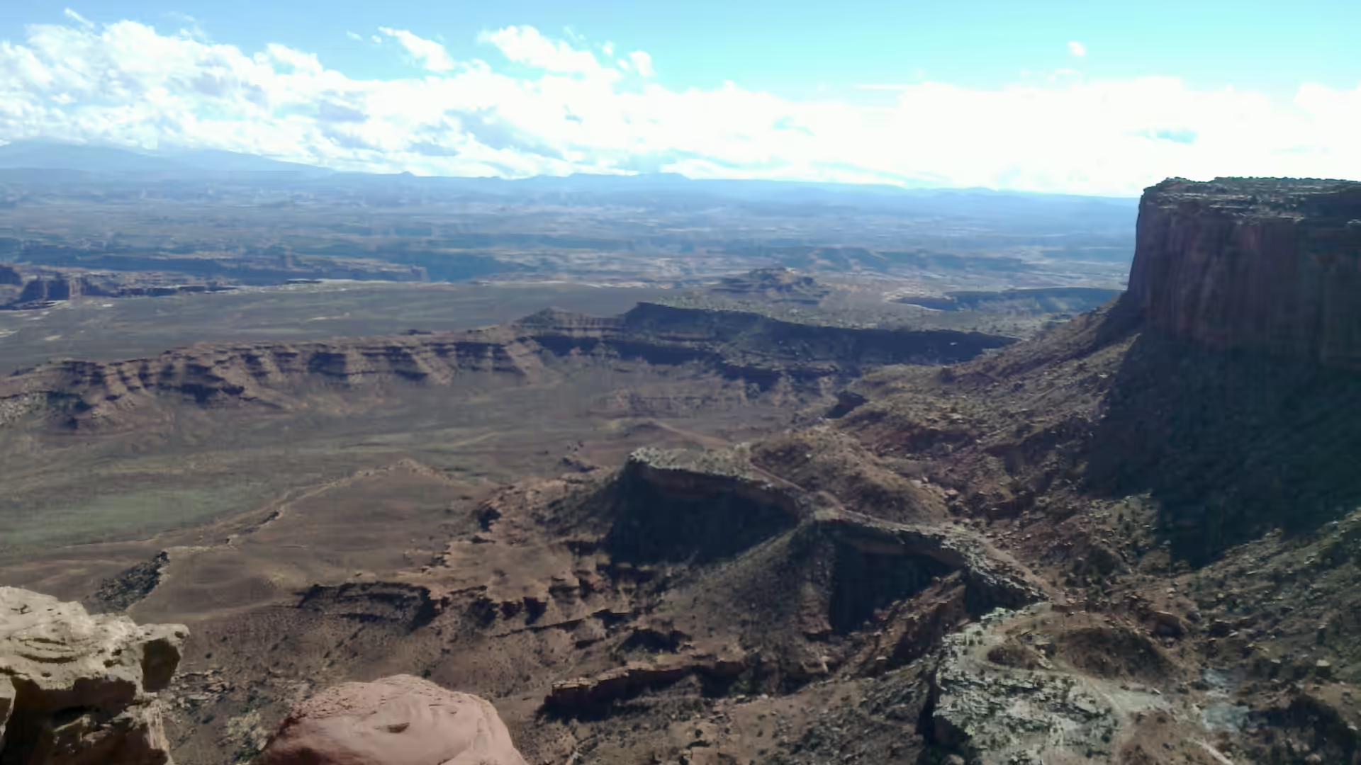
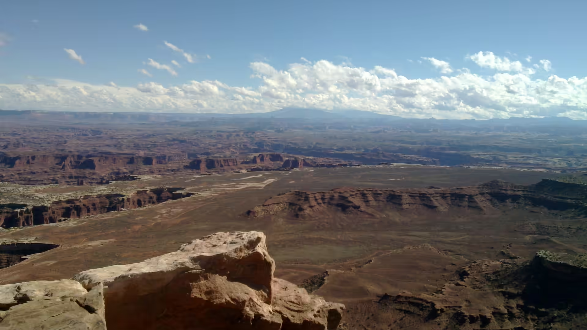
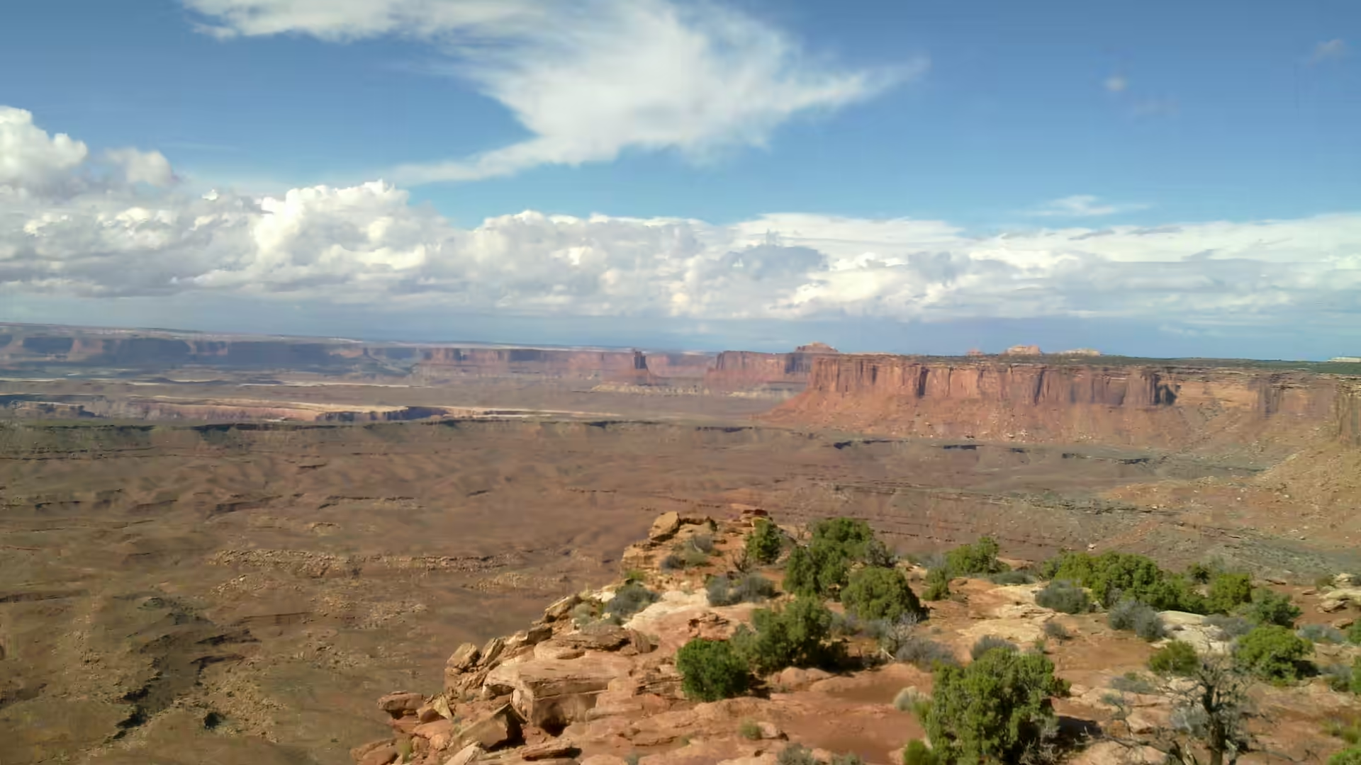
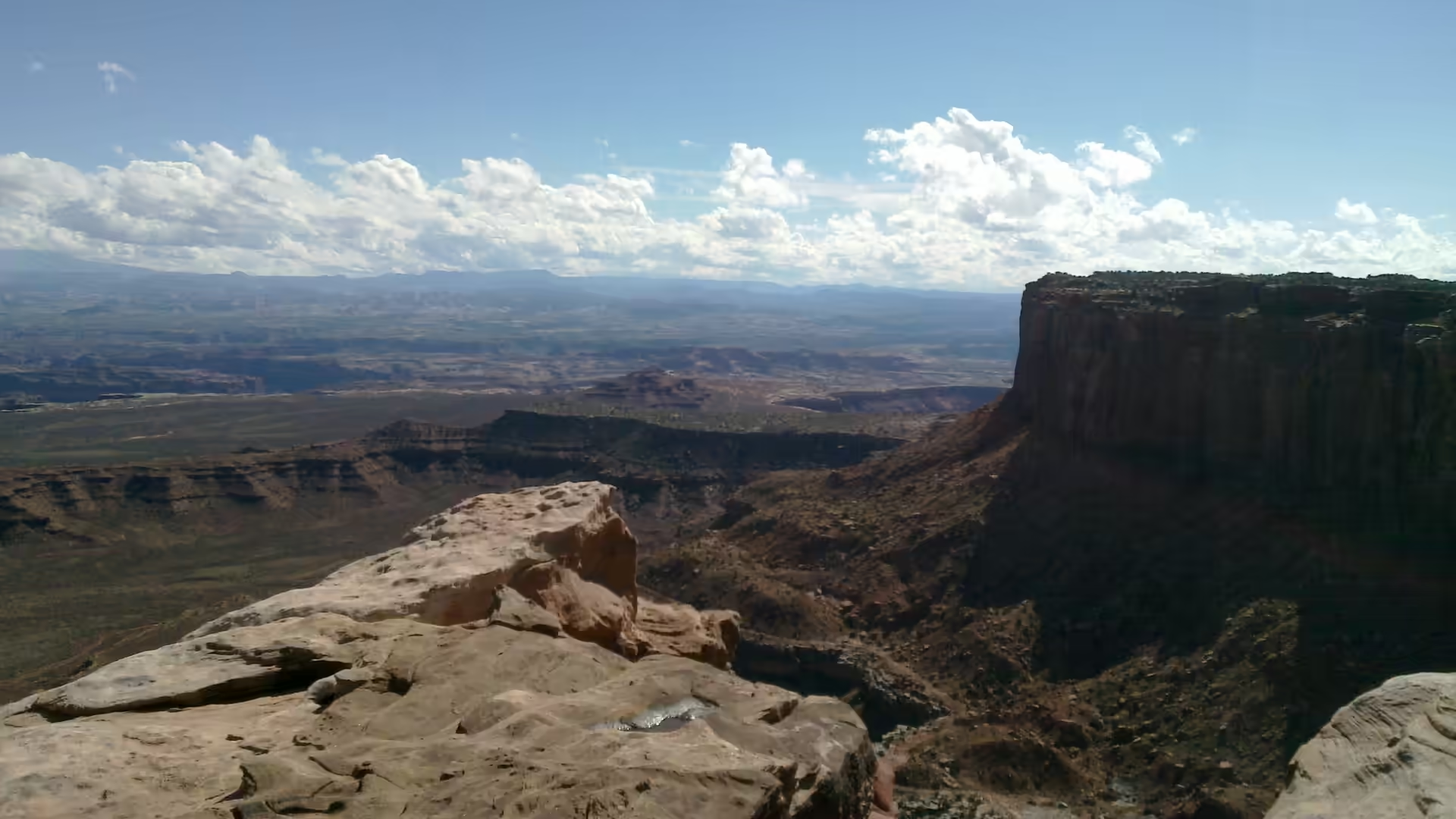
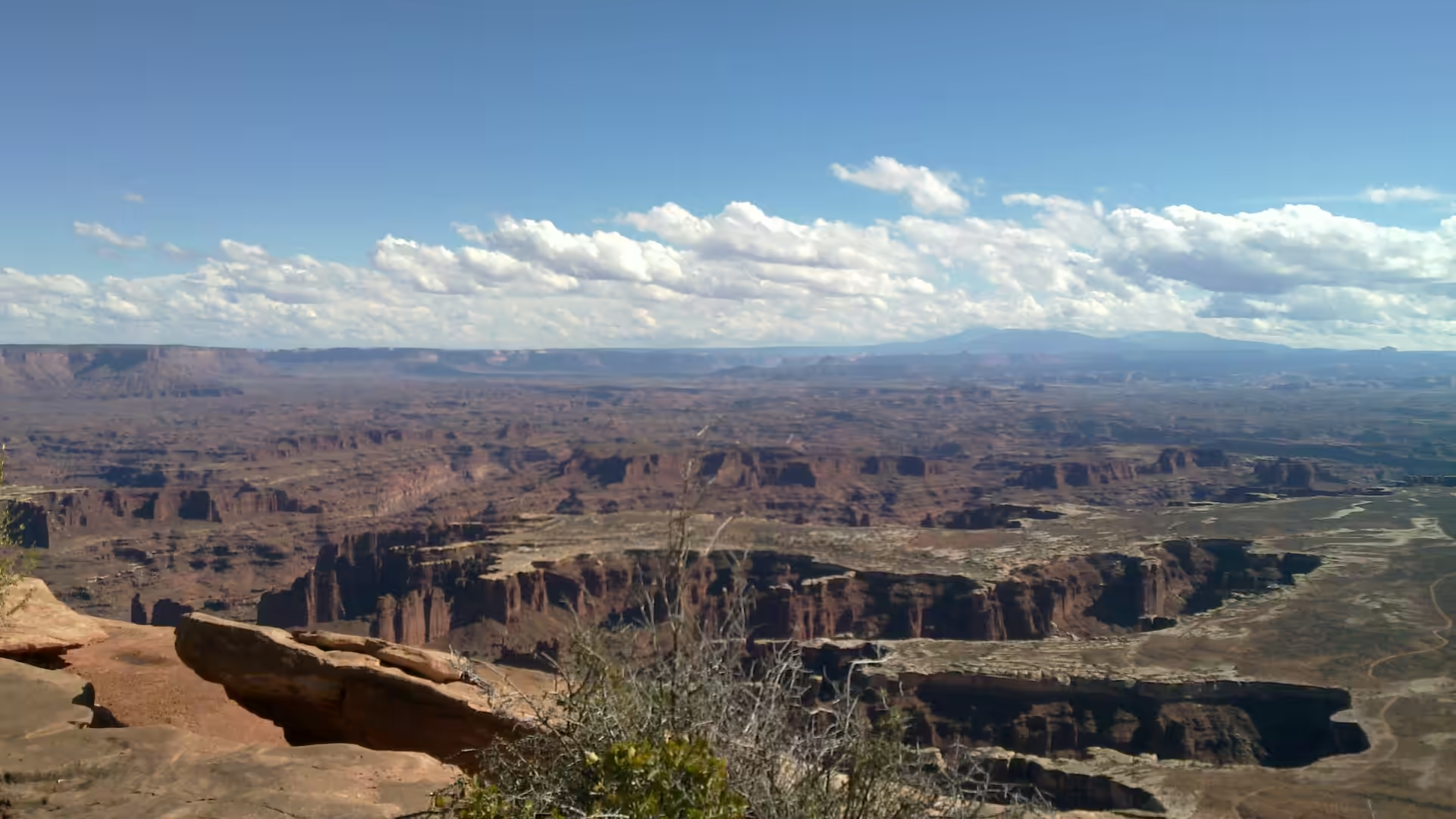
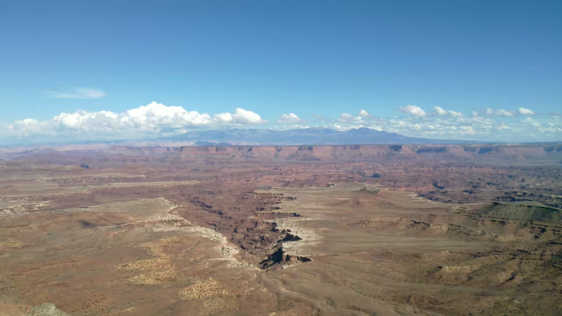
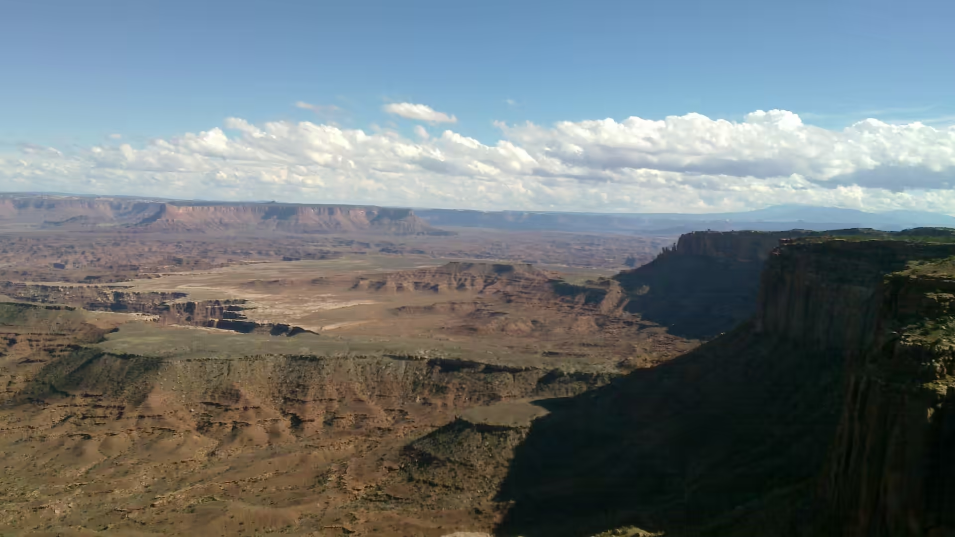
The rim drive of the Island in the Sky is the first thing to do, and it can be done in a few hours with frequent stops. From the first overlook the land opens into a panorama of layered canyons and distant mesas, and the drop is immediate: a vertical wall of red rock falls to a valley floor far below. Each successive viewpoint frames the same landscape from a different angle, one showing a flat topped mesa across a deep canyon, another a canyon floor with a meandering river visible through the haze, and a third the kind of wide ledge that looks safe and is not.
Mesa Arch and the Green River Overlook are the two standard stops, and both are reached by short walks. The overlook gives the classic view across the canyon system towards the rivers, where the water can sometimes be seen glinting at the bottom of a gorge. Trails along the rim, including the short paths to the viewpoints and the longer route along the cliff edge, are the best way to understand how abruptly the country drops away: the ground is level right up to the point where it is not, and there is very little in between.
The Needles district is a different park and worth the drive south. The rock here has eroded into hundreds of banded spires, with sandy trails running between them, and the walking is gentler and closer to the rock than on the rim. Horseshoe Canyon, detached from the rest, holds large panels of rock art in a canyon that can be reached on foot, and it is one of the few places in the park where the human history of the canyons is the main attraction. Both districts need more time and more water than the rim drive, and neither can be seen from a car.
For the traveller based in Moab, the park is part of a group rather than a single destination. Arches lies to the north of town, Canyonlands to the west and south, the Colorado River runs past both, and the surrounding land offers mountain biking on slickrock, jeep roads and rafting. A day on the rim road and a day in the Needles is a reasonable pairing, with an early start for both, since the light on the canyon walls is at its best in the first and last hours and the car parks fill in between.
References
- Geological Society of America (2025). Geology from the Green River Overlook, Island in the Sky District, Canyonlands National Park, Utah. GSA Abstracts with Programs. doi.org/10.1130/abs/2025rm-409342
- Jordan, S. & others (1999). Benthic invertebrates of a large, sandy river system: the Green and Colorado Rivers of Canyonlands National Park, Utah. Fundamental and Applied Limnology 147, 91-115. doi.org/10.1127/archiv-hydrobiol/147/1999/91
- Pederson, J. L. & others (2002). Colorado Plateau uplift and erosion evaluated using GIS. GSA Today 12, 4-10. doi.org/10.1130/1052-5173(2002)012<0004:cpuaee>2.0.co;2
- Wikipedia contributors (2026). Biological soil crust. en.wikipedia.org/wiki/Biological_soil_crust
- Wikipedia contributors (2026). Canyonlands National Park. en.wikipedia.org/wiki/Canyonlands_National_Park
- Wikipedia contributors (2026). Colorado Plateau. en.wikipedia.org/wiki/Colorado_Plateau
- Wikipedia contributors (2026). Colorado River. en.wikipedia.org/wiki/Colorado_River
- Wikipedia contributors (2026). Druid Arch. en.wikipedia.org/wiki/Druid_Arch
- Wikipedia contributors (2026). Green River (Colorado River tributary). en.wikipedia.org/wiki/Green_River_(Colorado_River_tributary)
- Wikipedia contributors (2026). Horseshoe Canyon (Utah). en.wikipedia.org/wiki/Horseshoe_Canyon_(Utah)
- Wikipedia contributors (2026). Island in the Sky. en.wikipedia.org/wiki/Island_in_the_Sky
- Wikipedia contributors (2026). The Needles. en.wikipedia.org/wiki/The_Needles
- Wikipedia contributors (2026). White Rim Trail. en.wikipedia.org/wiki/White_Rim_Trail