Day 5 - Dalian

Journal Notes
General
Dalian is a port city on the southern tip of the Liaodong peninsula, the second largest city in Liaoning province after Shenyang and the third most populous in northeast China. It looks south across the Bohai Sea towards Shandong and east across the Korea Bay towards North Korea, and it is the southernmost city in the whole of the northeast. Its population was 7.45 million at the 2020 census, of whom about 5.1 million lived in the built up area, and it is a city of ships, machine building, petrochemicals and software rather than of the heavy coal industry that made the reputation of the northeast.
The arrival was by air, from Shanghai to Dalian Zhoushuizi International Airport, which lies about ten kilometres north west of the city centre in the Ganjingzi district. It is the busiest airport in northeast China and handled close to twenty million passengers in 2025, which makes it a substantial hub in its own right, and a flight between two such cities takes about two hours.
What strikes a visitor immediately is that the landscape has changed completely. The delta is flat, waterlogged and subtropical; Dalian is hilly, rocky and temperate, with cold water on three sides and a coast of bays and headlands. The humidity is lower, the sky is clearer, and the sea is a working sea: ferries, container ships, fishing boats and naval vessels share the same water.
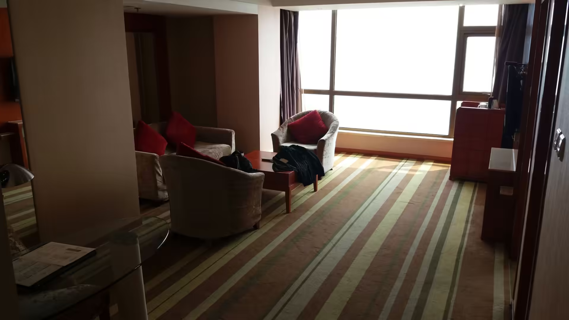
The hotel on this occasion was a suite on a high floor with a view over a marina and the harbour beyond it, and the long span of a new suspension bridge fading into the coastal haze. The city’s shape is visible from there: the bay, the hills behind it, the towers of the newer districts, and the water that connects them to the rest of the country. Dalian is a city that faces outwards, and the view from a window says so.
History
Dalian is a young city with an unusually complicated history, and almost all of its present appearance dates from the last hundred and thirty years. The site was a group of fishing villages until the end of the nineteenth century, when the Russian Empire, looking for an ice free port on the Pacific, obtained a lease on the Liaodong peninsula and began to build a city here in 1898. Russia spent more than ten million gold rubles on it, laid out streets and squares in a European pattern, and connected it to the trans-Siberian system by the railway that would become, from 1905, the Japanese operated South Manchurian Railway.
The Russian period ended with the Russo-Japanese War. Japan took over the lease in 1905 and developed Dalian as its principal base in Manchuria, building the port, the industries and the commercial quarters, and naming the city Dairen. The nearby naval town of Lüshun, better known outside China as Port Arthur, was fortified and became famous in the war of 1904 and 1905 for the siege it endured, and both places were among the most heavily defended ports in east Asia.
The end of the Second World War brought Soviet administration to the peninsula rather than Chinese rule, and the port and the naval base at Lüshun were used by the Soviet Union until 1955, when they were handed back to the People’s Republic. Dalian then became one of the industrial cities of the new China, specialising in shipbuilding, locomotives, machine tools and chemicals, and it was also a centre of the railway and port economy that tied the northeast to the rest of the country.
The modern city is the product of the reform era and of a deliberate attempt to turn a heavy industrial port into something more diversified. Dalian acquired a software industry, universities, a stock exchange of its own in the 1990s, and an international reputation as a clean and well planned city, with large squares, parks and a long waterfront. It also invested heavily in tourism, which is why so much of its coast is promenade and resort, and why the city has the slightly theatrical quality of a place that is conscious of being on show.
The evidence of the layers is still visible on the ground. The Russian and Japanese buildings around Zhongshan Square, the wide ring roads of the newer city, the port installations and the naval facilities at the tip of the peninsula all belong to different phases of the same hundred years, and the restaurants, as will be seen, have absorbed influences from both of the countries that once ruled here.
The colonial period left more than buildings. The Russians laid out the city with wide streets and large squares in a European pattern, and the Japanese developed it as an industrial and commercial base for the whole of Manchuria, building the port facilities, the railway and the factories. Both powers fortified Lüshun at the tip of the peninsula, and the naval base there was one of the most heavily defended places in east Asia. After 1955 the city became an industrial centre of the People’s Republic, specialising in shipbuilding, locomotives and machine tools, and the shipyards along the coast are still working.
Geology
The Liaodong peninsula is a block of very old rock, and its geology is quite different from the delta country of the south. The peninsula consists largely of Precambrian metamorphic and sedimentary rocks, including quartzites, marbles, slates and gneisses, some of them more than two billion years old, folded and intruded by granite masses. The same basement rocks host the gold mineralisation of the Liaodong province, which has been mined in several distinct phases and is still a subject of geological study.
The coast that the city sits on is the product of that rock and of the sea. Because the peninsula is made of hard, folded rock rather than soft sediment, the shoreline is irregular: rocky headlands alternate with bays, sea cliffs stand where the rock is resistant, and the shallow platforms cut by wave action appear at low tide. The city is built around these bays, and its waterfront promenades follow them.
Two seas meet at the peninsula. To the west lies the Bohai Sea, a shallow, semi enclosed basin with restricted exchange through the Bohai Strait, which makes its water comparatively turbid and its winter temperatures lower. To the east and south lies the Yellow Sea, deeper and clearer, with strong tidal currents and a wave climate that has been modelled in detail because it matters for shipping and for coastal engineering. The difference between the two sides of the peninsula is visible in the water and in the fishing.
The port owes its existence to one fact of geography: the water here does not freeze. The Bohai coast further north ices over in winter, while Dalian, at the southern tip, remains open all year, and that is why the Russians wanted it and why it is still one of the most important ports in northern China. In a region where winter closes the sea lanes, an ice free harbour is a strategic asset, and the city has been built around that advantage for a hundred and thirty years.
The newer engineering on the coast is equally geological in its logic. The suspension bridge that crosses the bay stands on foundations designed for the rock and the water it spans, and the reclaimed land along the shore, the promenades and the artificial beaches are all attempts to make a rocky coastline behave like a soft one. Where the rock is close to the surface the city grows upwards; where it is not, the coast is made rather than found.
The Bohai Sea is one of the shallowest enclosed seas in the world, with an average depth of only a few tens of metres, and it exchanges water with the Yellow Sea through the narrow strait between the Liaodong and Shandong peninsulas. That restricted exchange is why its water is comparatively turbid and why its winter temperatures fall lower than those of the open sea. The coast of the peninsula therefore has two different characters, one on each side, and the shipping and fishing of the city are arranged around the difference.
Things to See
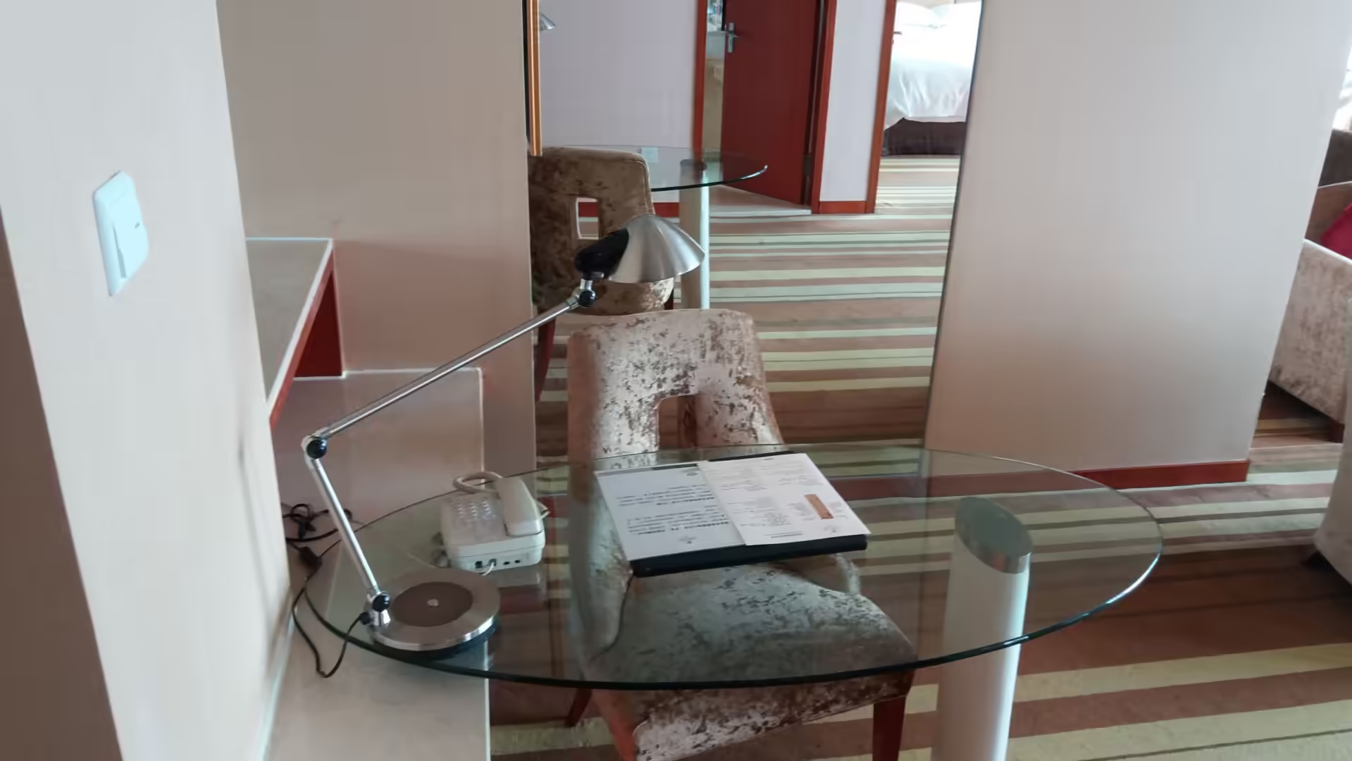
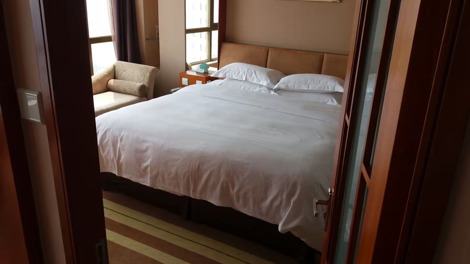
The first impressions of Dalian were domestic ones: a hotel suite with armchairs, a sofa, a striped carpet and floor to ceiling windows, then a glass topped desk with a lamp, a telephone and the regulation folder of hotel information. The room was large, which is the standard in Chinese business hotels, and the windows looked out over the marina and the harbour, with the long curve of a bridge disappearing into coastal haze on the horizon.
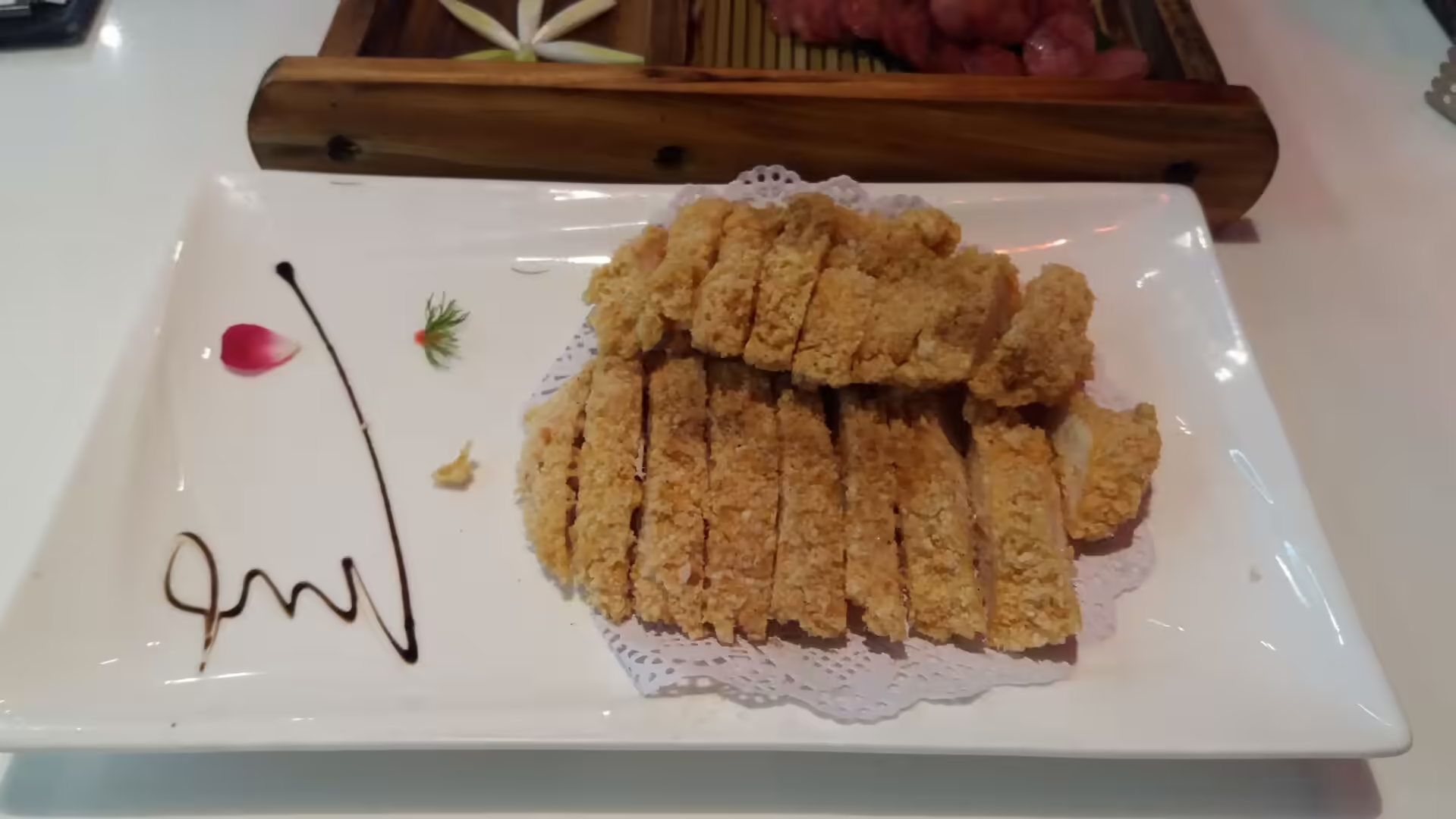
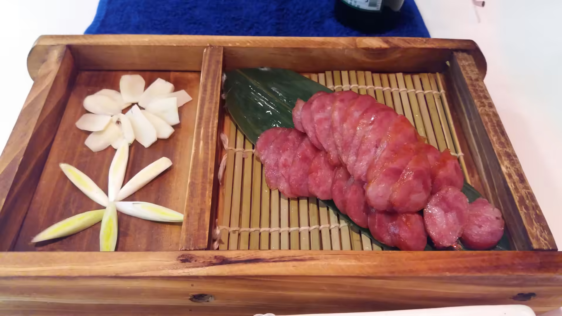
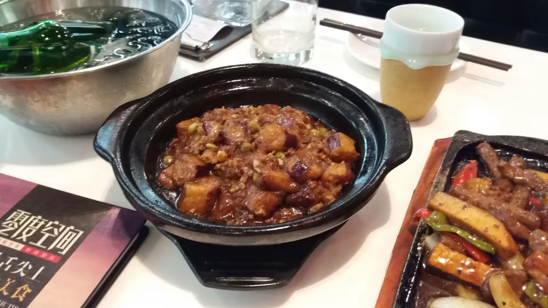
The evening meal was the part of the day worth recording. It began with slices of crisp breaded meat on a white platter with a decorative garnish, then slices of Chinese sausage arranged on a bamboo mat and presented in a wooden tray with flowers cut from vegetables, and then a clay pot dish of braised aubergine with minced meat and vegetables in a rich sauce. The cooking of the northeast is heartier than that of the delta: more meat, more salt, more of the dark fermented flavours, and less of the delicacy that Suzhou cultivates.
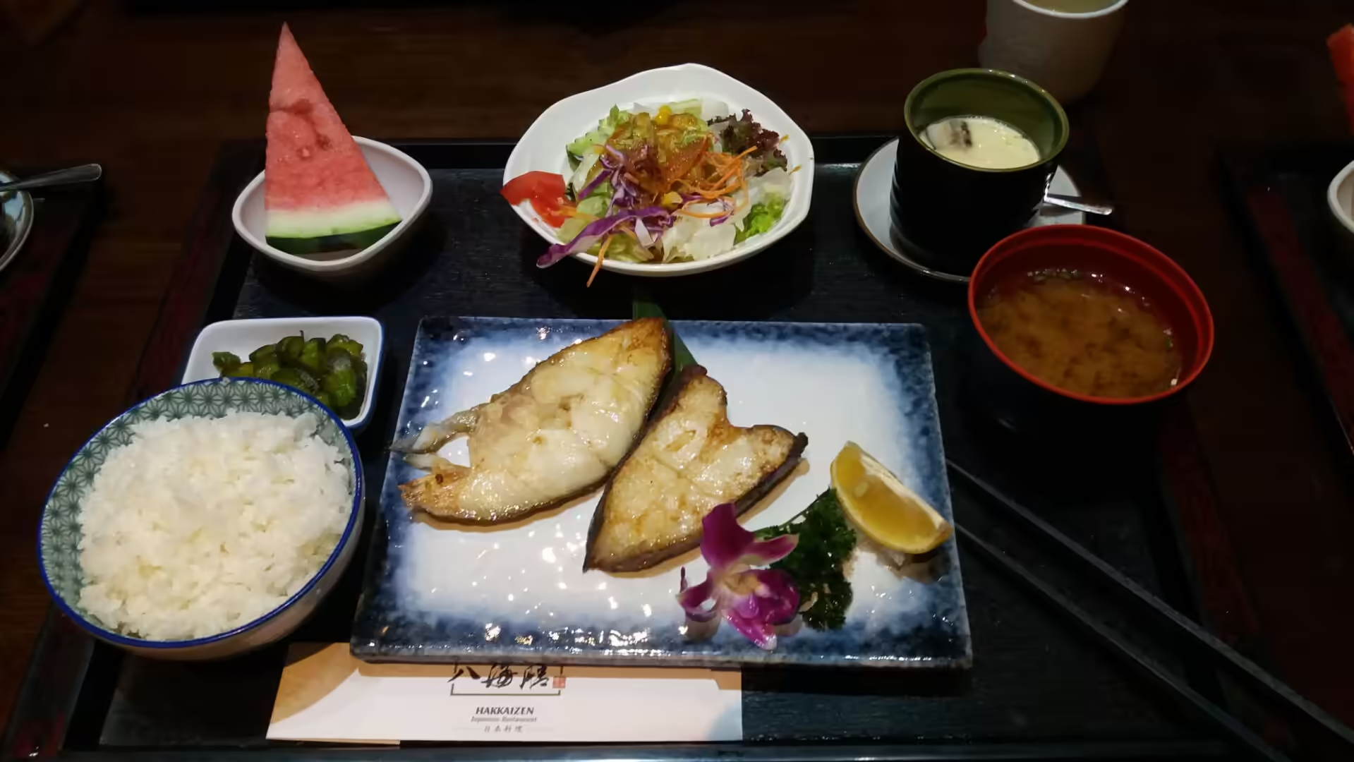
The next day’s lunch showed the other layer of the city’s history. It was a Japanese set meal: grilled fish, white rice, miso soup, salad, pickles, a steamed egg custard and a slice of watermelon, served in the compartments of a lacquered box. Dalian was a Japanese city for forty years, and the influence survives in the food, the restaurants and the habits of the place, long after the politics that produced it disappeared.
The view from the hotel window is worth a paragraph of its own, because it is the clearest statement of what kind of city this is. A marina full of small boats, the towers of the new districts around the bay, the long suspension bridge spanning the water, and the hills and islands beyond, all in the pale grey light of a coastal afternoon. Dalian is a city that has been rebuilt several times, and from that window it looks like a place that has finally settled on being a seaside city with a port behind it.
The restaurants of the city are worth a note of their own, because the food shows the history better than the architecture does. The local cooking is northern and substantial, with braised meats, dumplings and clay pot dishes, and the seafood comes in from the cold water in the morning. At the same time the Japanese influence survives in the restaurants that serve set meals in lacquered boxes, with grilled fish, rice, miso soup and steamed egg custard, which is the food of a city that spent forty years as an outpost of another empire.
References
- Wikipedia contributors (2026). Dalian. en.wikipedia.org/wiki/Dalian
- Wikipedia contributors (2026). Dalian Zhoushuizi International Airport. en.wikipedia.org/wiki/Dalian_Zhoushuizi_International_Airport
- Wikipedia contributors (2026). Liaodong Peninsula. en.wikipedia.org/wiki/Liaodong_Peninsula
- Wikipedia contributors (2026). Bohai Sea. en.wikipedia.org/wiki/Bohai_Sea
- Wikipedia contributors (2026). Yellow Sea. en.wikipedia.org/wiki/Yellow_Sea
- Wikipedia contributors (2026). Russian Dalian. en.wikipedia.org/wiki/Russian_Dalian
- Wikipedia contributors (2026). Lüshun. en.wikipedia.org/wiki/L%C3%BCshun
- Wikipedia contributors (2026). Port Arthur, China. en.wikipedia.org/wiki/Port_Arthur%2C_China
- Wikipedia contributors (2026). Xinghai Square. en.wikipedia.org/wiki/Xinghai_Square
- Wikipedia contributors (2026). Chinese cuisine. en.wikipedia.org/wiki/Chinese_cuisine
- Wikipedia contributors (2026). Chinese Civil War. en.wikipedia.org/wiki/Chinese_Civil_War
- Wikipedia contributors (2026). Air China. en.wikipedia.org/wiki/Air_China
- Wikipedia contributors (2026). North China Plain. en.wikipedia.org/wiki/North_China_Plain
- Zhang P., Kou L., Zhao Y. (2021) Three periods of gold mineralization in the Liaodong Peninsula, North China Craton. International Geology Review. 64. 2922-2940. doi.org/10.1080/00206814.2021.2009046
- Shi W., Wang M. (2012) Satellite views of the Bohai Sea, Yellow Sea, and East China Sea. Progress in Oceanography. 104. 30-45. doi.org/10.1016/j.pocean.2012.05.001