Stage 8 of 10
Day 8 - Beijing










Journal Notes
General
The eighth day was the monumental day of the journey, spent around Tiananmen Square and in the towers of the central business district. Almost everything in Beijing’s centre is built at a scale that produces two reactions at once: the square is so large that people crossing it look like dots, and the buildings around it are so wide that they seem to lie down rather than stand up. It is a city designed for processions and for crowds, and the design has been carried through consistently.
Tiananmen Square is 765 metres long and 282 metres wide, an area of 215,730 square metres, and it was planned to hold more than half a million people. At its northern end stands the Tiananmen, the Gate of Heavenly Peace, which separates the square from the Forbidden City; around it are the Monument to the People’s Heroes, the Great Hall of the People, the National Museum of China and the Chairman Mao Memorial Hall. In 2024 the complex was inscribed as part of the UNESCO World Heritage Site known as the Beijing Central Axis.
The other half of the day was spent looking at what has been built around that axis in the last thirty years. Beijing is a city of two architectures, and on this day both were within a few kilometres of each other: the stone and red lacquer of the imperial centre, and the glass and steel of the central business district, with its office towers, its construction cranes and its media buildings. A visitor who sees only one of them has seen half the city.
The day also included the ordinary commerce of a capital. Beijing Antique City and a shopping centre called the Beijing Glasses Mall are both parts of the same economy as the monuments: millions of people, an enormous internal market, and districts that specialise in a single trade. Between the monuments and the malls the city is a continuous commercial landscape, and the crowds on the square are the same crowds as the shoppers.
History
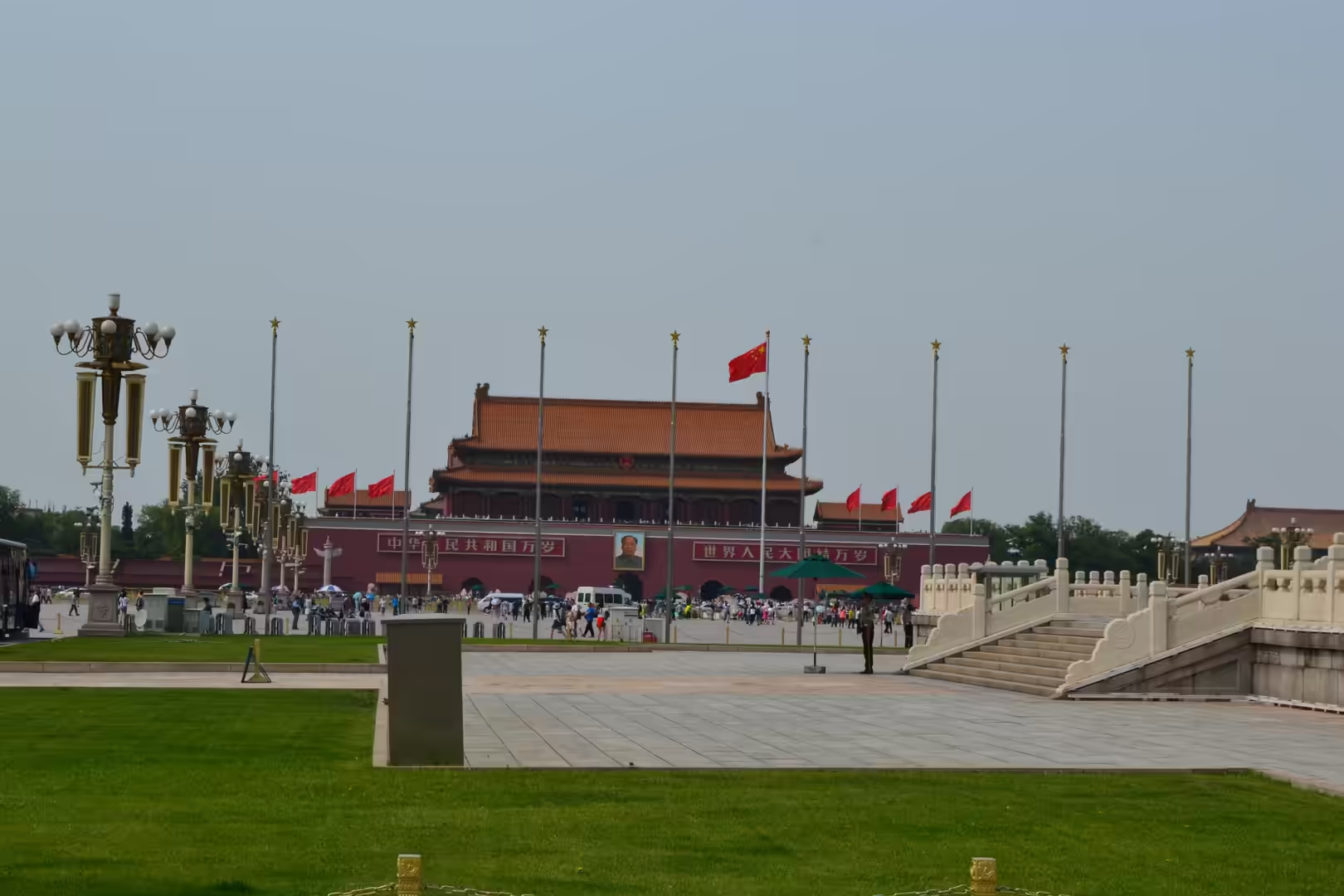
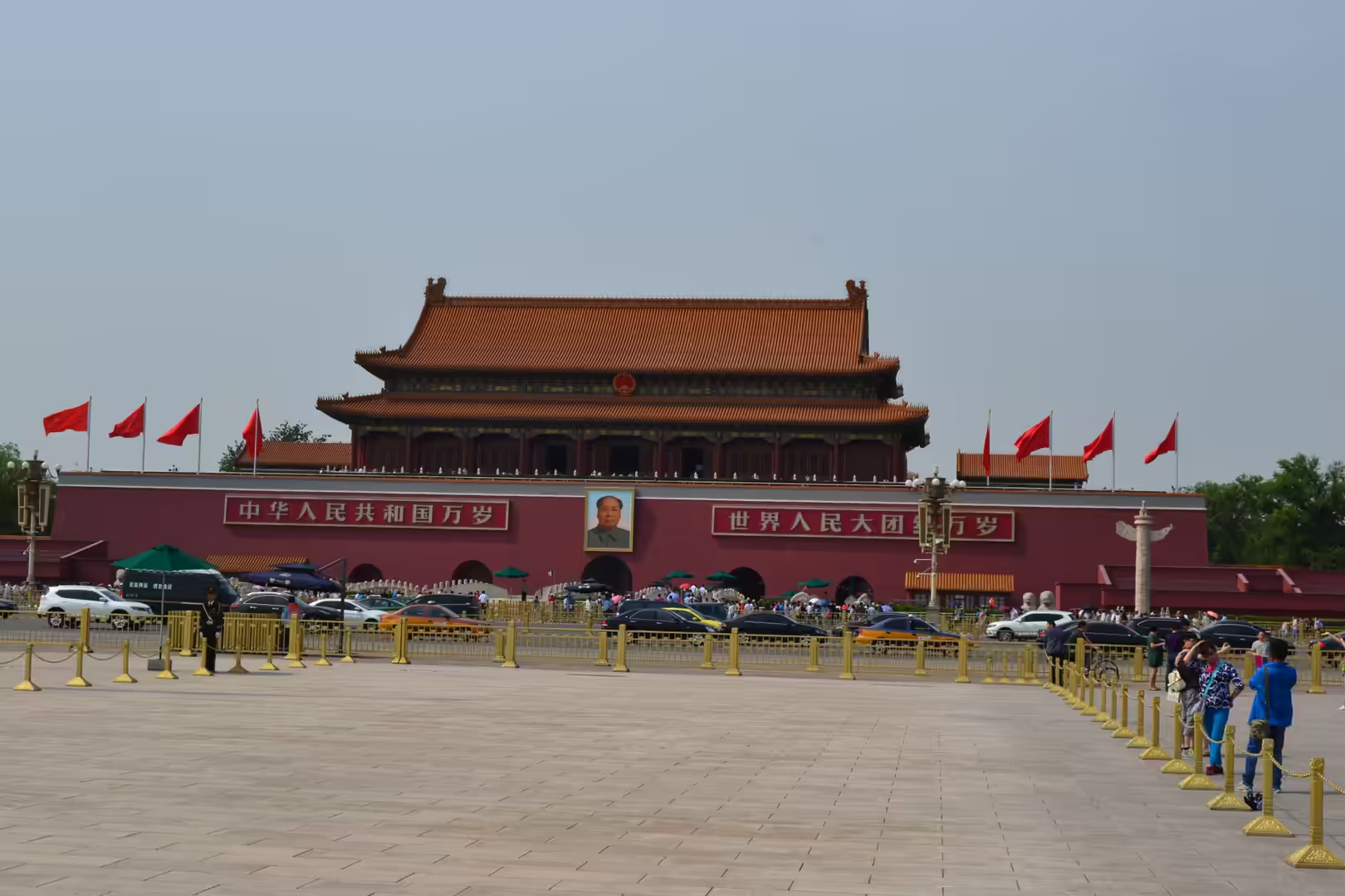
The gate at the northern end of the square is the oldest thing in the day’s itinerary. Tiananmen was first built in 1420 during the Ming dynasty as the entrance to the imperial palace complex, and all visitors to the emperor walked through it. It was rebuilt in 1651, and again between 1969 and 1970, when the three hundred year old structure had deteriorated badly and was reconstructed with modern facilities inside it. The gate is 66 metres long, 37 metres wide and 32 metres high, and its balcony is where Mao Zedong proclaimed the People’s Republic on 1 October 1949. The portrait of him that hangs above the central arch has been part of the building ever since.
The square itself is a creation of the 1950s. It was enlarged on the instruction of Mao Zedong, who wanted the largest and most spectacular square in the world, capable of holding more than 500,000 people, and the process involved the demolition of a large number of residential buildings and other structures. The buildings around it were added in the same decade: the Monument to the People’s Heroes, a 37.94 metre obelisk to the martyrs of the revolutionary struggles of the nineteenth and twentieth centuries, the Great Hall of the People with 171,801 square metres of floor space on the west side, and the National Museum of China on the east, with an exhibition area of about 200,000 square metres, a collection of more than 1.4 million objects and forty eight exhibition halls, which makes it the largest museum building in the world by single building area.
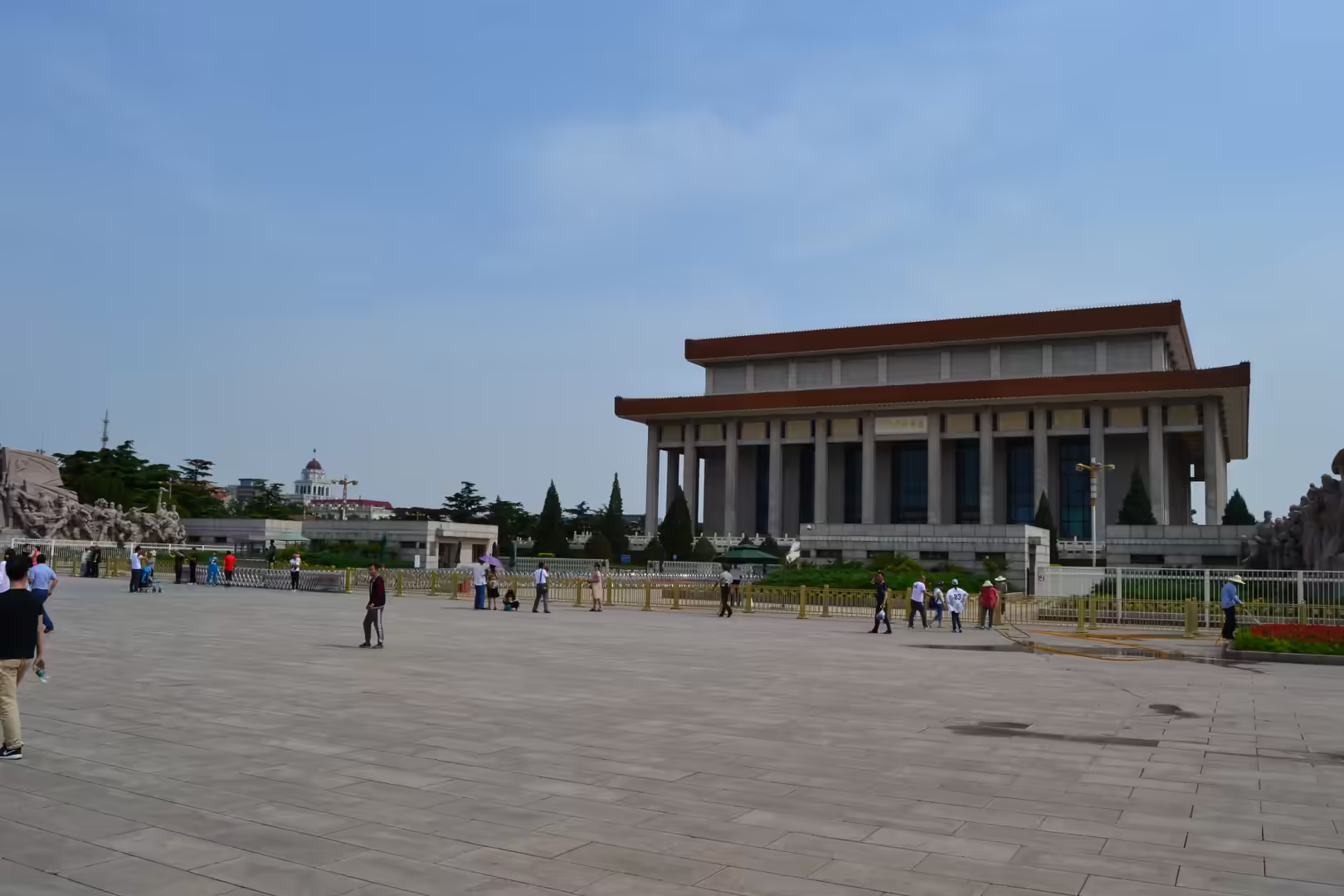
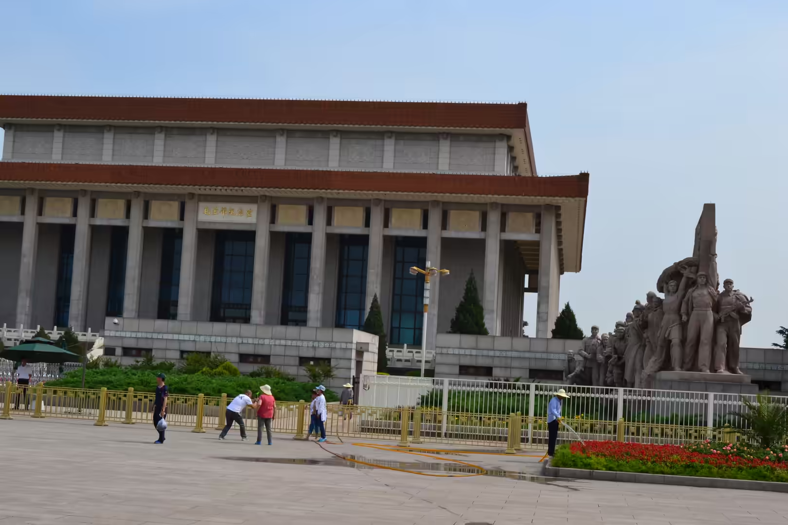
The Chairman Mao Memorial Hall came later. Mao died in 1976, and the hall was built shortly afterwards in the middle of the square to hold his embalmed body, which is displayed to the public. Its construction involved symbolic voluntary labour by 700,000 people from different provinces and nationalities, and materials were sent from all over the country for it, including granite from Sichuan and porcelain from Guangdong. The building is a monument to the way the state can mobilise people and materials, which is also the story of the square as a whole.
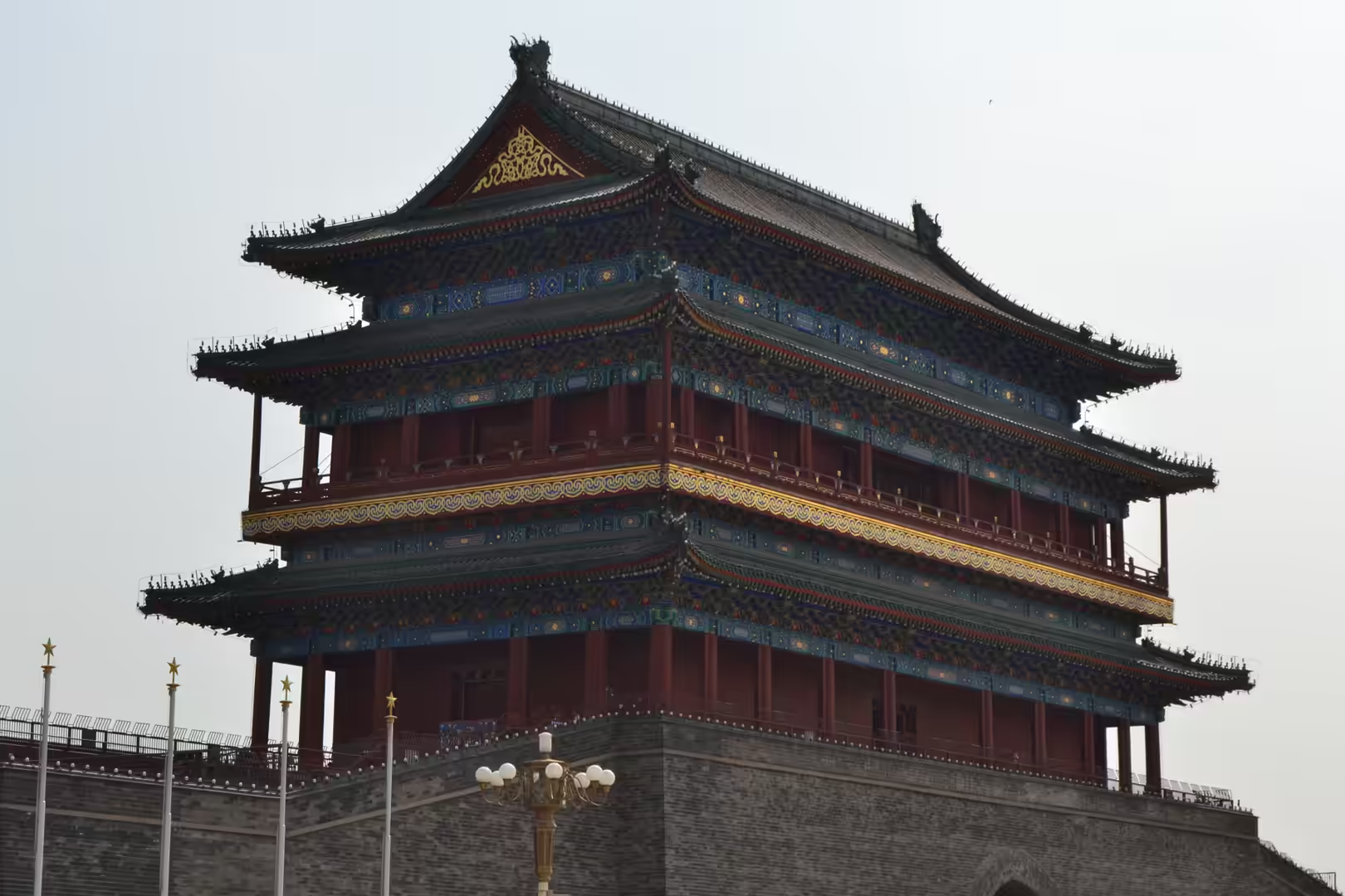
South of all this stands Zhengyangmen, the gate that guarded the southern entry into the inner city. It was first built in 1419, also in the Ming dynasty, and at 42 metres its gatehouse was and remains the tallest of all the gates of the Beijing city wall. Much of that wall has been demolished, but the gate survives as a marker of the city’s north south axis, which passes through it, and it was damaged in 1900 during the Boxer Rebellion when the Eight Nation Alliance invaded the city. The city’s first railway station, the Qianmen Station, was built just outside it, and the gatehouse has been open to visitors since the army vacated it in 1980.
The central business district is the other end of the story, and it is barely thirty years old. The CCTV Headquarters, a fifty one storey building made of two conjoined towers, stands on the East Third Ring Road; it was designed by Rem Koolhaas and Ole Scheeren of OMA with the engineering of Arup, begun in 2004 and completed in the following decade, and it is one of the largest office buildings in the world. It stands among glass towers, construction cranes and elevated roads, which is the standard condition of the district: whatever has just been finished is standing next to something that is being built.
The buildings on the square are worth describing one by one, because their dimensions are part of their meaning. The Great Hall of the People covers 171,801 square metres of floor space and is 356 metres long and 206 metres wide, and its highest point reaches 46.5 metres. The National Museum of China opposite it has about 200,000 square metres of construction area, a collection of more than 1.4 million objects and forty eight exhibition halls, which makes it the largest museum building in the world by single building area. The monument between them is a stone obelisk 37.94 metres high, inscribed to the martyrs of the nineteenth and twentieth centuries.
Geology
Everything described above stands on the sediments of the North China Plain, and the plain is the reason why Beijing could become a capital and why it now has an environmental problem. The plain is a downfaulted rift basin from the late Palaeogene and Neogene, filled and levelled by the deposits of the Yellow River, and it is the largest alluvial plain in China. Beijing occupies its north eastern corner, where the flat ground meets the Yanshan mountains, and the mountain front is close enough to the city that the hills are visible from the ring roads.
The sedimentary sequence under the city is deep and water bearing. Sands and gravels alternate with clays, and the sands hold the aquifers on which the city has relied. Because Beijing’s consumption of water has long exceeded what its own rainfall provides, the aquifers were drawn down for decades, and the consequence is land subsidence, which is a documented effect of groundwater extraction in the plains and deltas of eastern China. Buildings, roads and bridges in such a city have to be built with that in mind, and the management of water is one of the reasons why the region’s canals and reservoirs are engineered as a single system.
The stone of the monuments is a reminder that the same plain provides the materials. Granite, marble and limestone from the surrounding provinces were used for the buildings around the square, and the grey paving of the plaza itself is stone quarried in the region. The traditional architecture of the city, with its grey brick courtyards, is built of the materials of the plain and its hills, and it is only the imperial buildings that used materials brought from further away.
Dust is the other geological factor. The plain lies downwind of the deserts and loess plateaus of the north west, and mineral dust arrives on the wind in spring, as it has done for millennia; the same material, over long periods, helped to build the soil of the plain. In a modern city the natural dust is mixed with the products of industry, heating and traffic, and air quality in Beijing is measured and managed because of it. On this day the sky was a clear blue, which made the monuments look their best and is not a permanent condition.
Seismic considerations belong to the same picture. Northern China is a region of active faulting, and the plain’s rift structure is not extinct: earthquakes in the region are recorded historically and the building codes of the cities on the plain take them into account. The great monuments of Beijing are, among other things, large structures built on soft ground in a seismic region, and their foundations are as interesting as their façades, even if a visitor cannot see them.
Things to See
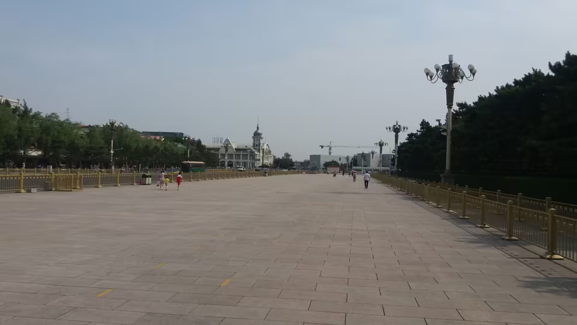
The day began on the approach to the square. The avenues leading to it are lined with ornate lamp posts, trees and barriers, and the National Museum of China stands along one side, with a historic clock tower building visible further off. These are ceremonial streets rather than shopping streets, and they are kept accordingly: swept, planted and patrolled.
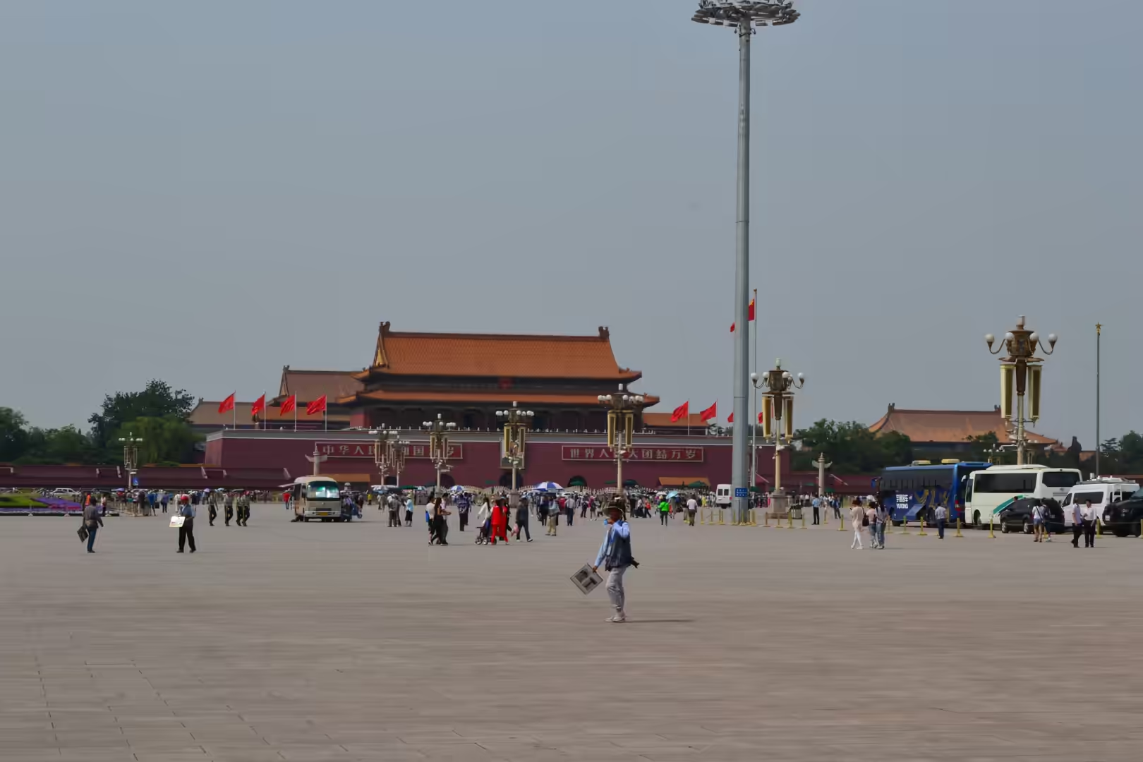
Then came the square itself. Tiananmen Gate seen across the vast expanse of the plaza, with visitors, buses, ceremonial lamps and red flags in front of it; the Monument to the People’s Heroes and the National Museum on one side; the Great Hall of the People on the other; and the Mao Zedong Memorial Hall with its revolutionary sculptures in the middle. The portraits, the flags and the guard posts give the whole space an official character, but what dominates is the emptiness of the paving and the number of people walking across it.
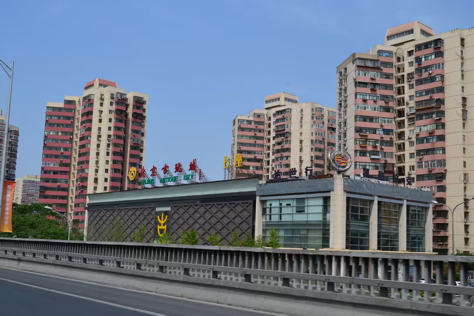
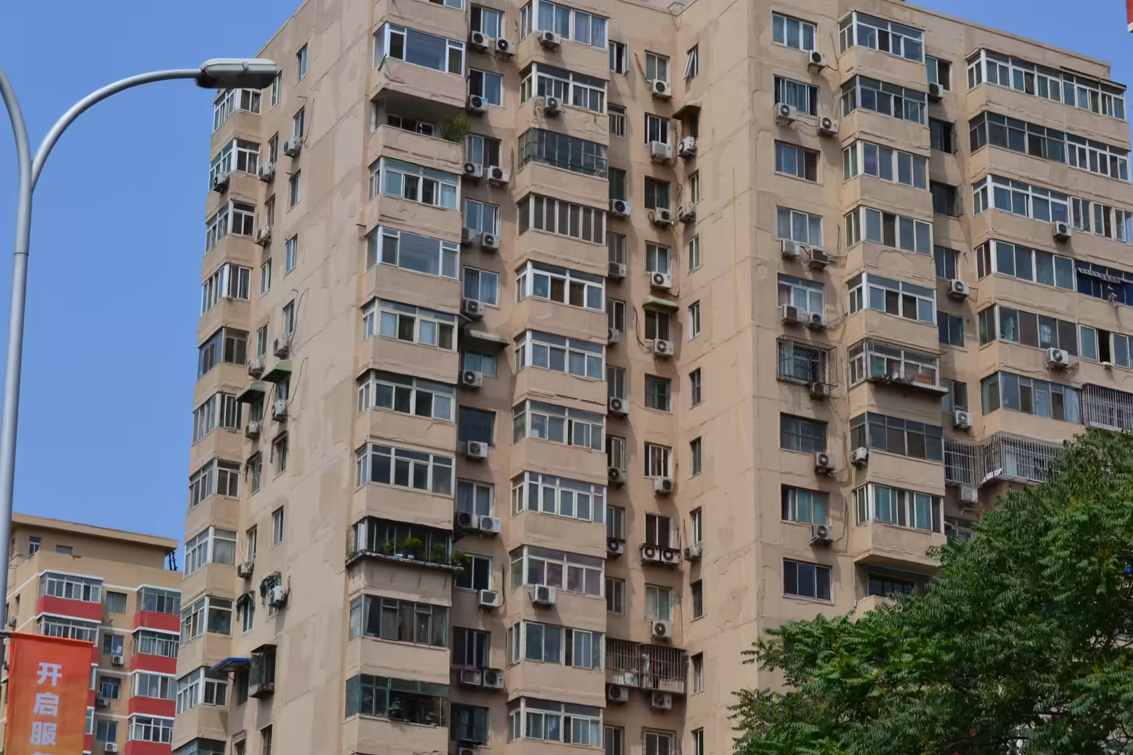
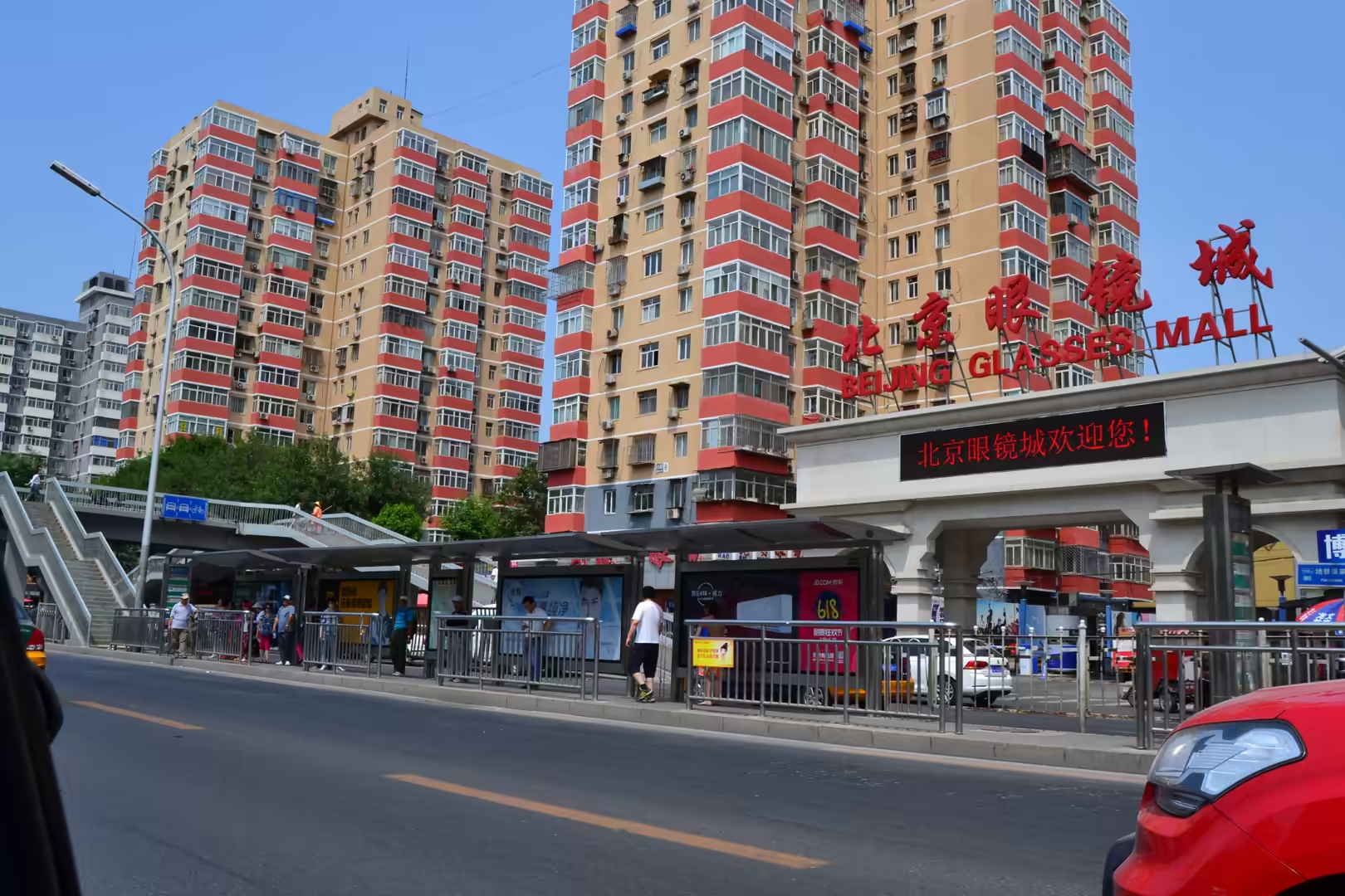
The commercial Beijing was the next part of the day: the Antique City shopping complex in front of tall residential towers, older apartment blocks with enclosed balconies and rows of air conditioning units, the Beijing Glasses Mall on a busy road, and a multilane avenue lined with dense residential and commercial buildings. These are the ordinary streets of the capital, and their traffic and their signage are as characteristic of the city as its monuments.
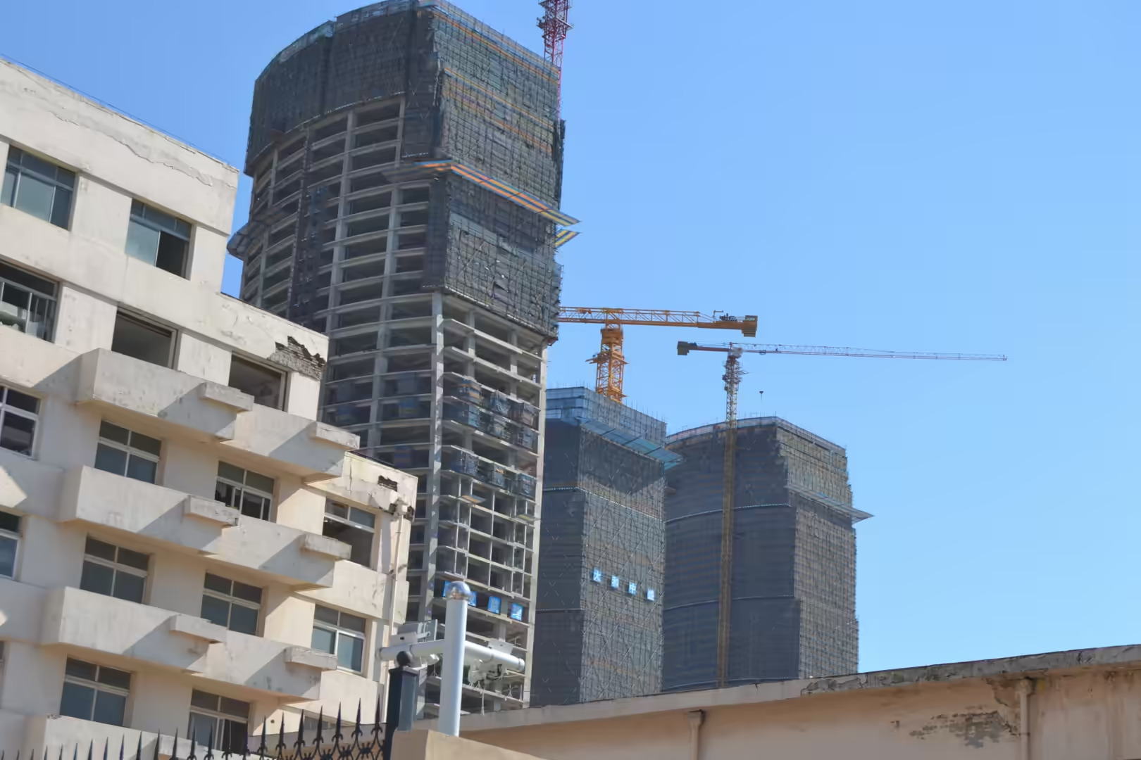
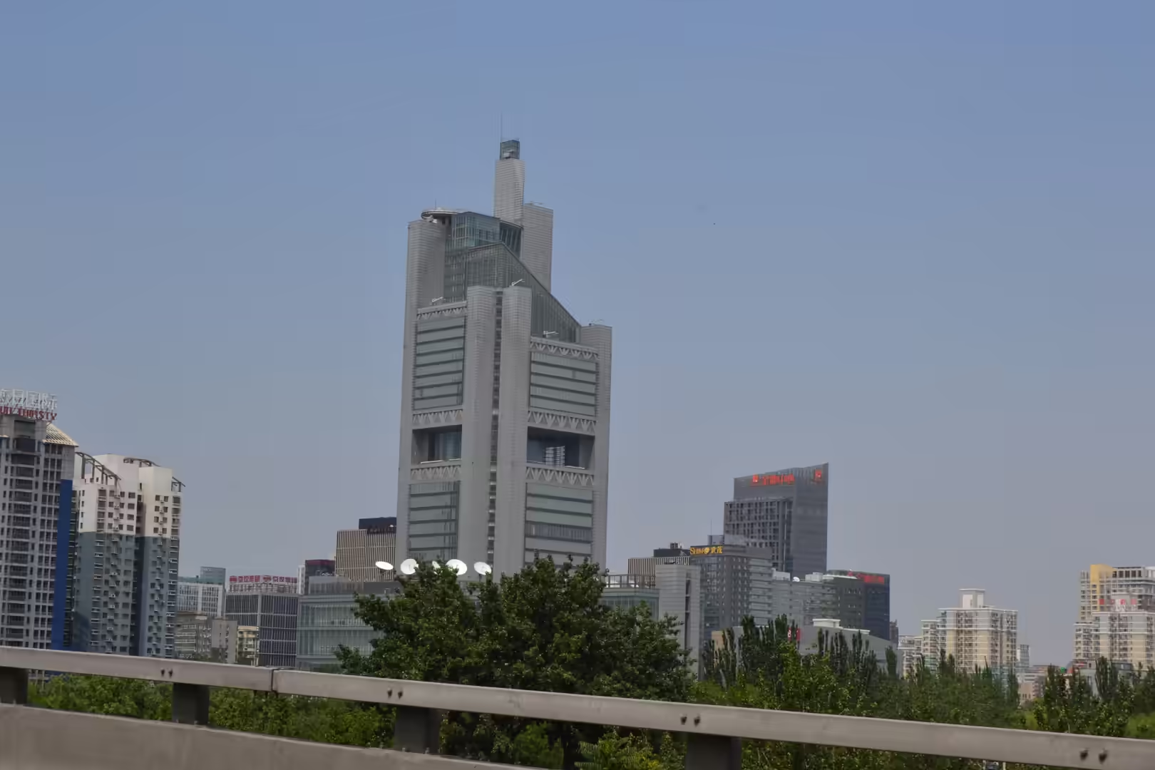
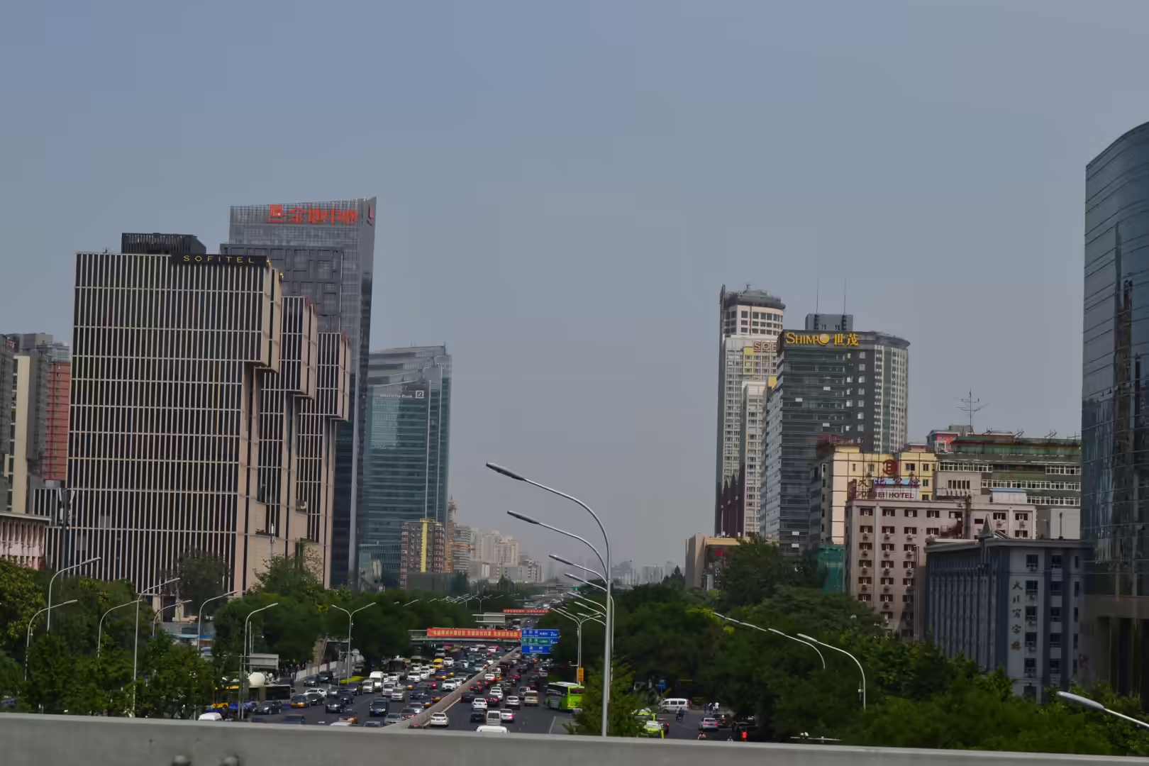
The central business district followed. Seen from the road, it is a cluster of towers with a distinctive stepped office building at its centre, then more skyscrapers under construction, the CCTV Headquarters with its loop of two leaning towers, curved glass office buildings and several large construction cranes. A large institutional building nearby combines monumental stone columns and glass façades with rooflines that echo traditional Chinese architecture, which is a style the modern city has used consistently for its public buildings.
The day ended at Zhengyangmen, where the gate tower stands with its red walls, painted beams and multi-tiered roof above a busy square. Nearby stands the historic European style building with the clock tower, the old station of the city’s first railway, which serves as a reminder that Beijing’s modernity is older than the towers of the business district: the railways arrived here in the age of the Qing dynasty, and the city has been rebuilding itself around them ever since.
The people on the square are as much a part of the sight as the buildings. Visitors arrive in groups and individually, buses park along the edges, flags are raised and lowered at the ends of the day, and the plaza is patrolled and kept clean. On a weekday the crowd is a steady movement of people crossing an enormous space, and the scale only becomes clear when a single figure is compared with the width of the paving.
References
- Wikipedia contributors (2026). Beijing. en.wikipedia.org/wiki/Beijing
- Wikipedia contributors (2026). Tiananmen Square. en.wikipedia.org/wiki/Tiananmen_Square
- Wikipedia contributors (2026). Tiananmen. en.wikipedia.org/wiki/Tiananmen
- Wikipedia contributors (2026). Mausoleum of Mao Zedong. en.wikipedia.org/wiki/Mausoleum_of_Mao_Zedong
- Wikipedia contributors (2026). Monument to the People’s Heroes. en.wikipedia.org/wiki/Monument_to_the_People’s_Heroes
- Wikipedia contributors (2026). Great Hall of the People. en.wikipedia.org/wiki/Great_Hall_of_the_People
- Wikipedia contributors (2026). National Museum of China. en.wikipedia.org/wiki/National_Museum_of_China
- Wikipedia contributors (2026). Zhengyangmen. en.wikipedia.org/wiki/Zhengyangmen
- Wikipedia contributors (2026). Beijing central business district. en.wikipedia.org/wiki/Beijing_central_business_district
- Wikipedia contributors (2026). CCTV Headquarters. en.wikipedia.org/wiki/CCTV_Headquarters
- Wikipedia contributors (2026). Chinese economic reform. en.wikipedia.org/wiki/Chinese_economic_reform
- Wikipedia contributors (2026). North China Plain. en.wikipedia.org/wiki/North_China_Plain
- Wikipedia contributors (2026). Hutong. en.wikipedia.org/wiki/Hutong
- Wikipedia contributors (2026). Beijing cuisine. en.wikipedia.org/wiki/Beijing_cuisine
- (ohne Angabe) (2014) Beijing Central Business District. The Urban Masterplanning Handbook. 248-259. doi.org/10.1002/9781118941188.ch19
- Jiang H., Feng G., Wang Y., Xiong Z., et al. (2025) Land Subsidence in the Yangtze River Delta, China Explored Using InSAR Technique From 2019 to 2021. IEEE Journal of Selected Topics in Applied Earth Observations and Remote Sensing. 18. 4174-4187. doi.org/10.1109/jstars.2025.3527748