Day 13 - Riviera Dei Ciclopi


Journal Notes
General
The thirteenth day belongs to the Riviera dei Ciclopi, the stretch of coast north of Catania that takes its name from the Cyclops of the Odyssey. The centre of it is Aci Trezza, a town of around 5,000 people and a frazione of the comune of Aci Castello, about ten kilometres north of Catania on the coast of the Ionian Sea. Its history is one of maritime activity, and in summer it is a popular resort for Italian holidaymakers; its patron saint is John the Baptist, whose festival is celebrated in the last week of June, and in winter it is a working harbour with the volcano above it.
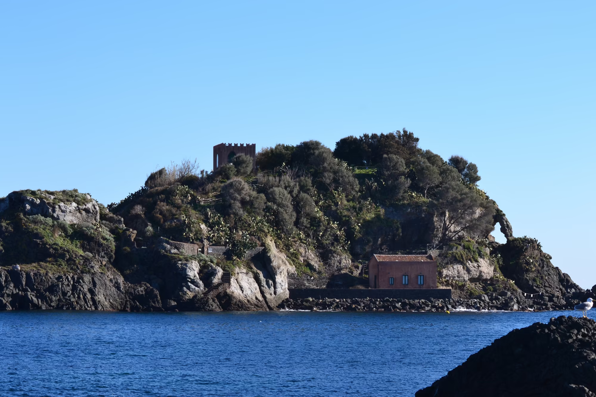
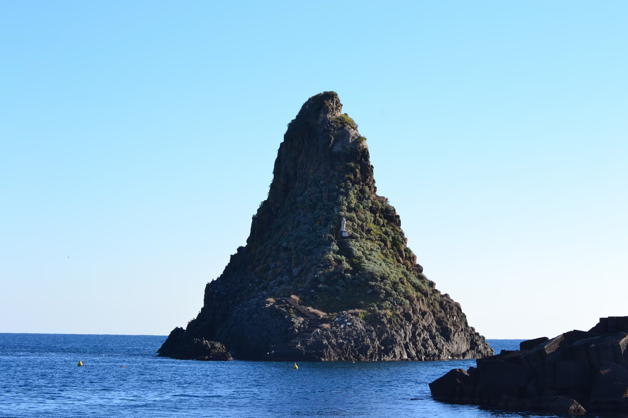
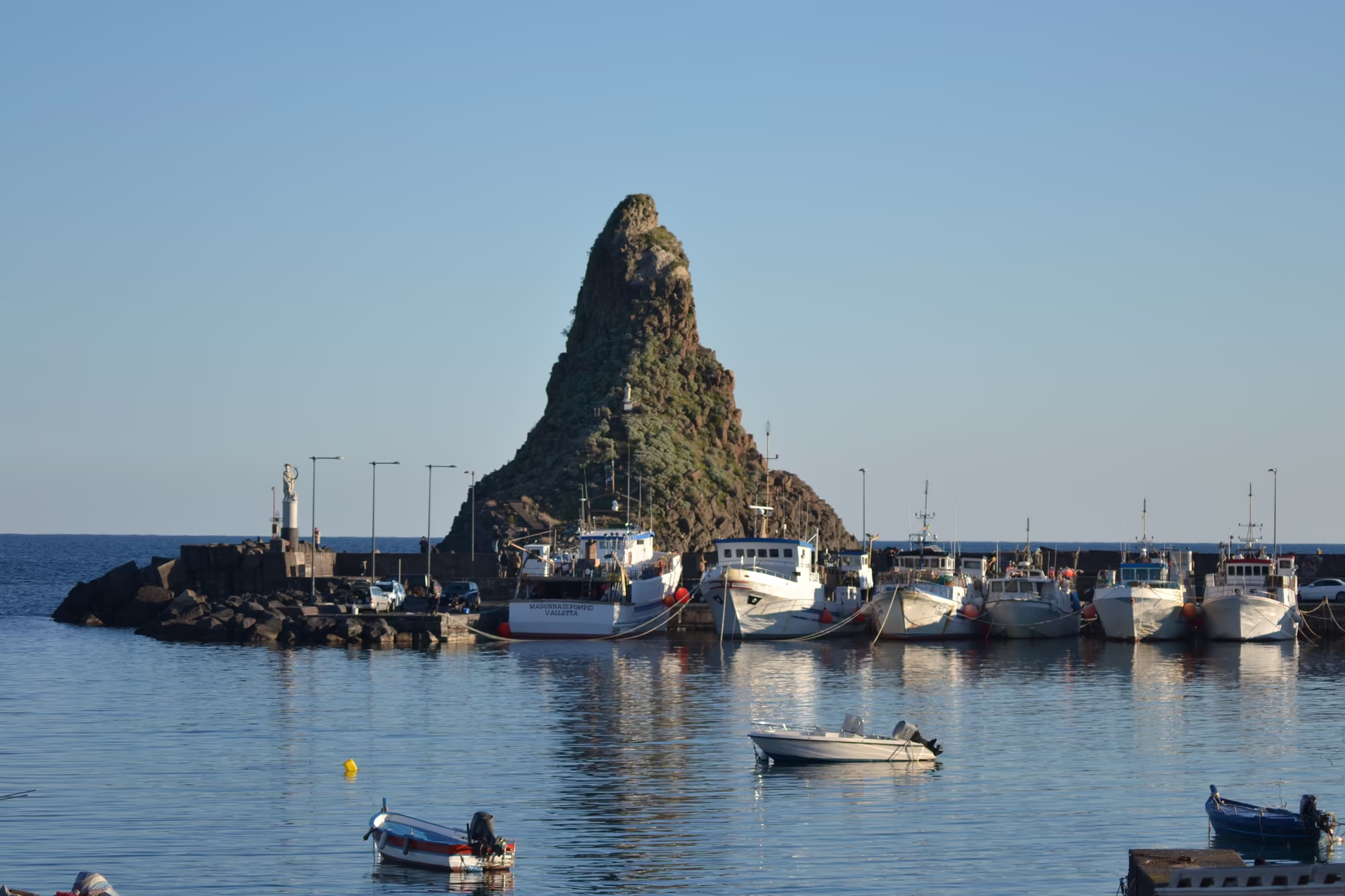
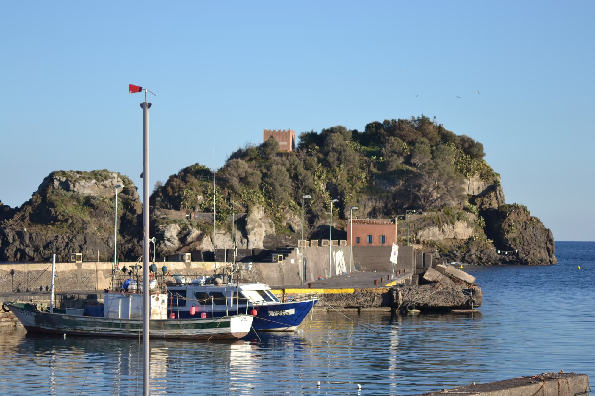
The district takes its character from three sea stacks that stand immediately offshore. According to local legend they are the great stones that the monster Cyclops threw at Odysseus in the Odyssey, and they are known as the Faraglioni dei Ciclopi; the largest island behind them, Isola Lachea, carries a small building on its summit and is the centre of a marine reserve. The rocks are made of the same volcanic material as the coast, and the whole arrangement of stack, island and shore is what makes this a distinctive place rather than another stretch of Sicilian waterfront.
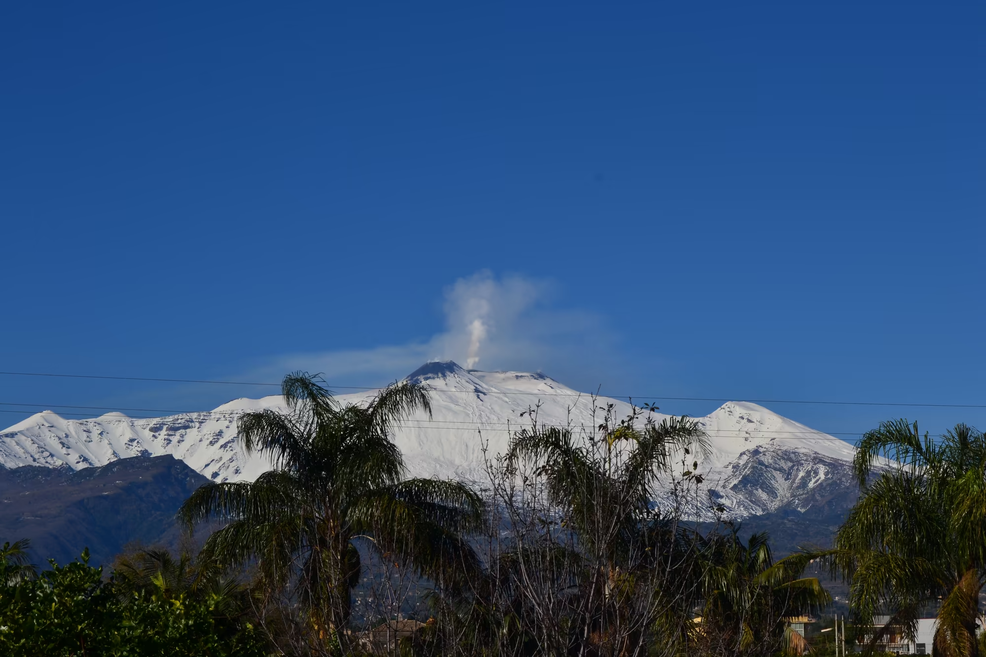
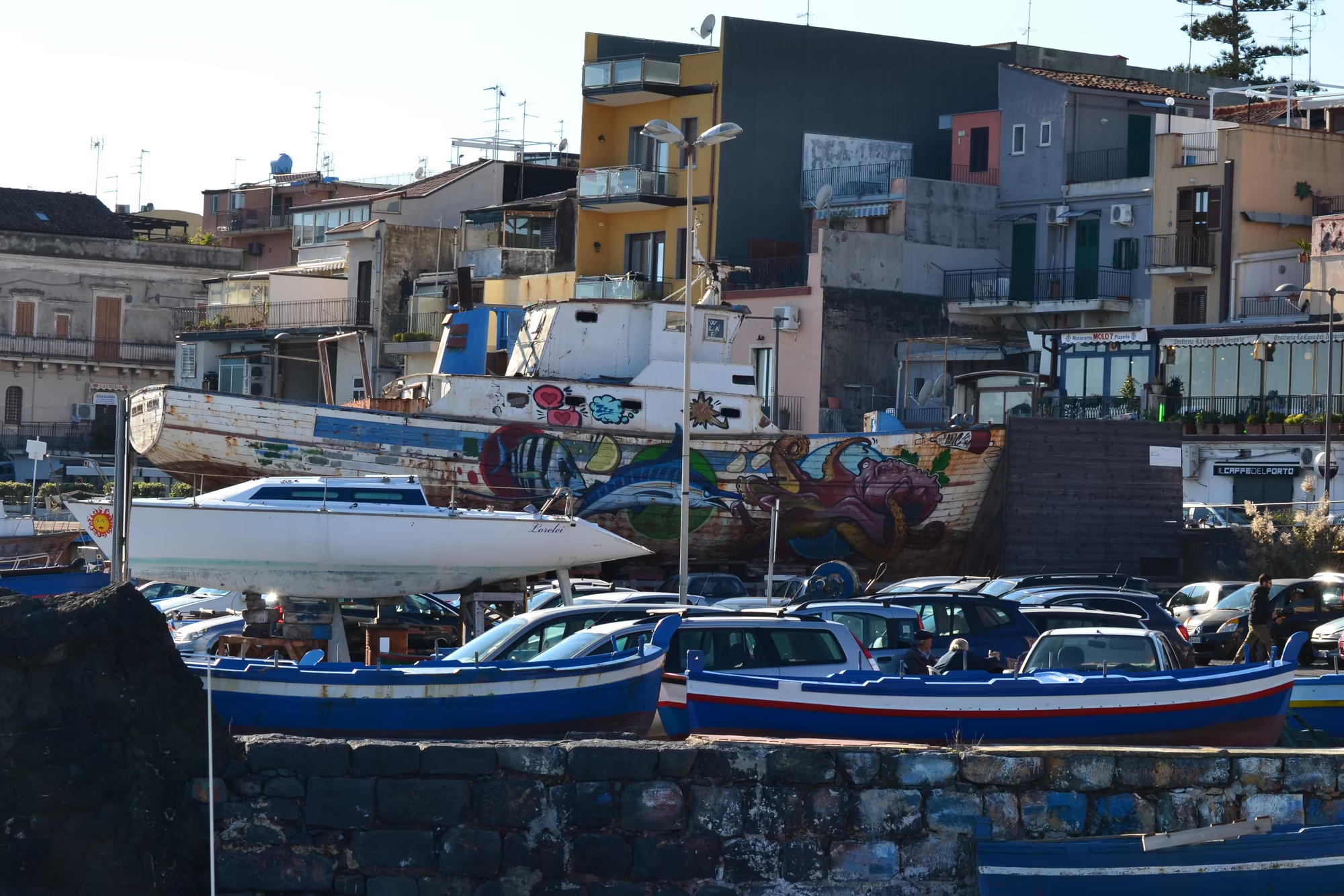
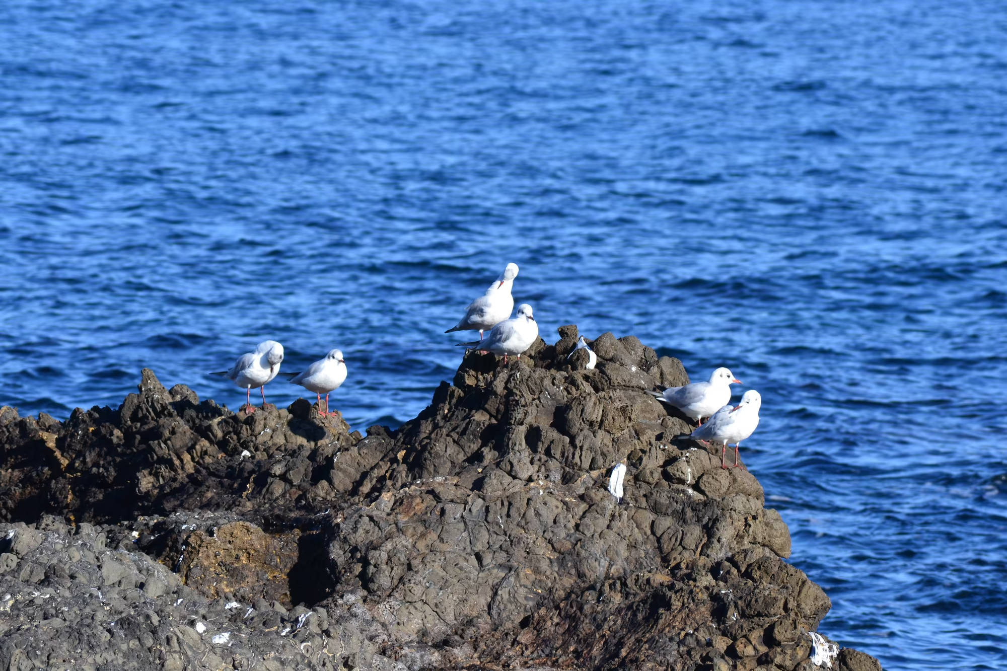
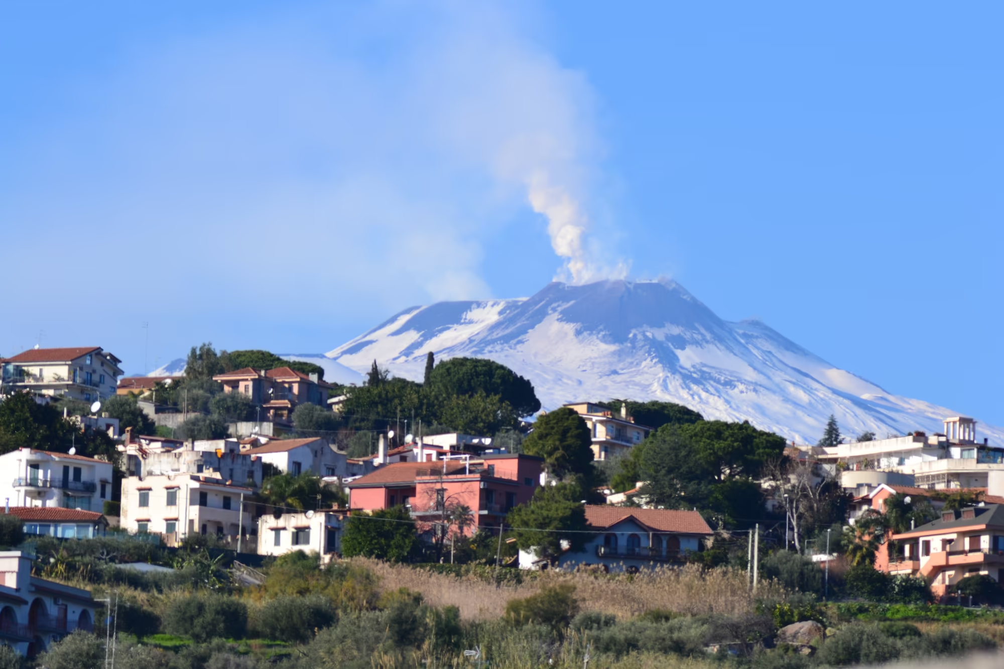
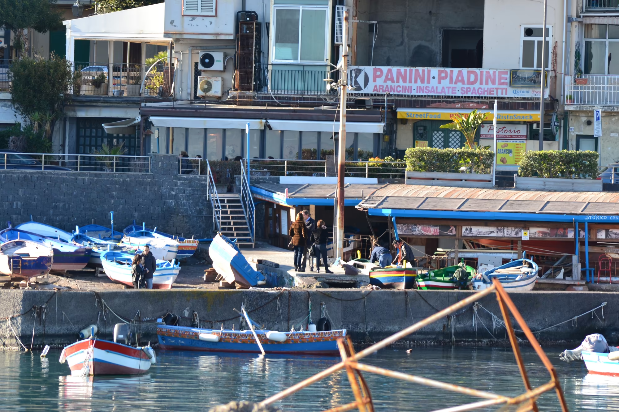
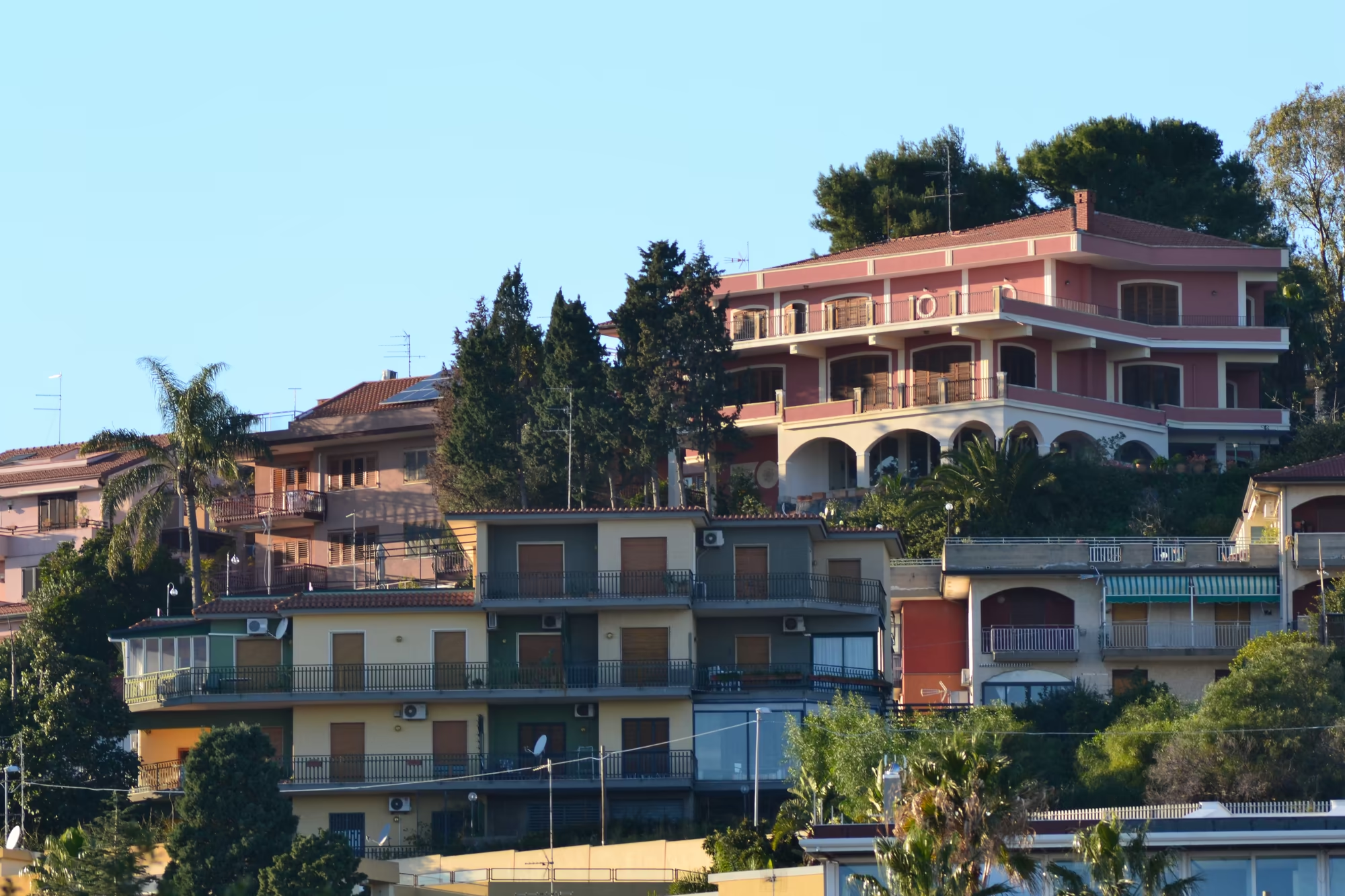
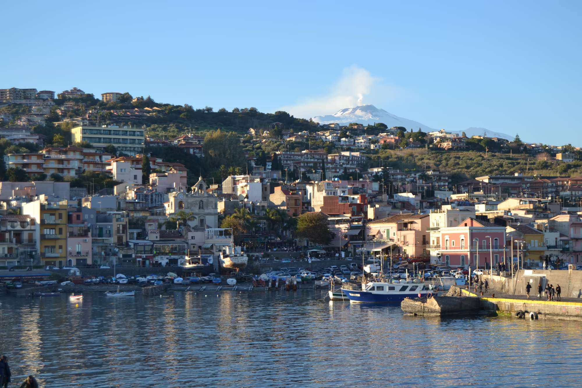
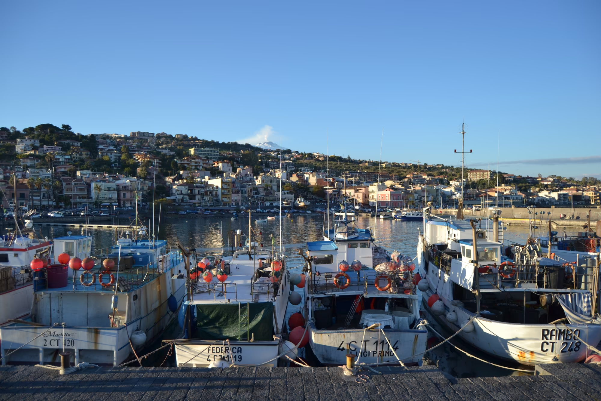
The village itself is arranged around its harbour and its waterfront. Fishing boats are moored along the quay, restaurants and pizzerias face the water, houses with balconies stand above the harbour front, and streets of multi-storey buildings in warm colours climb the slope behind. In February the boats outnumber the visitors, the sea is bright and cold, seagulls stand on the rocks, and the snow covered summit of Etna rises above the roofs to the north.
The position gives the day its structure. Aci Trezza is close enough to Catania and to Etna to be visited from either, and the coast road connects the villages of the Riviera dei Ciclopi, each with its own small harbour and its own view of the Faraglioni. A single day here is spent between the harbour, the waterfront and the paths along the cliffs, which is the whole extent of the place and quite enough for it.
The stretch of coast is short and easy to cover. The villages of the Riviera dei Ciclopi follow one another along a few kilometres of road, each with its own small harbour, its own church and its own view of the Faraglioni, and the whole of it can be walked or driven in an afternoon; the coast road climbs and descends around the headlands, and the sea is visible from almost every point on it. In February there is no traffic, the restaurants are closed or nearly so, and the place belongs to the people who live from the boats.
History
The name of the coast is a literary one, and the literature is genuinely local. The rocks off Aci Trezza were identified with the stones thrown by the Cyclops in the Odyssey in antiquity, which is why they appear on maps as the Faraglioni dei Ciclopi and why the coastline is called the Riviera dei Ciclopi; the story of the blinded giant and the escaping hero has been attached to a specific set of rocks on a specific coast, and the identification has stuck for two thousand years.
The modern fame of the village comes from a novel and a film. Giovanni Verga, the Sicilian writer from Catania, set his novel I Malavoglia among the fishing families of a village on this coast, and in 1948 Luchino Visconti filmed his neo realist adaptation, La Terra Trema, in Aci Trezza itself, using local people rather than professional actors. The film is one of the founding works of Italian neo realism, and it made the harbour of a small fishing town into a place that people recognised on screen; the boats and the quays in this album are the descendants of the ones in it.
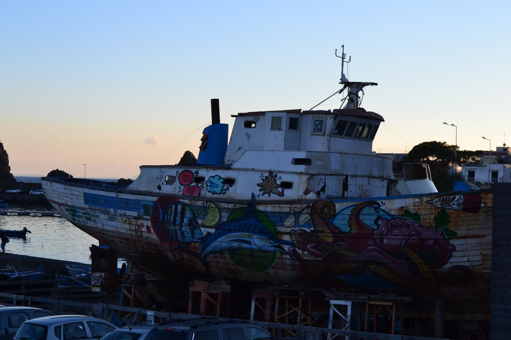
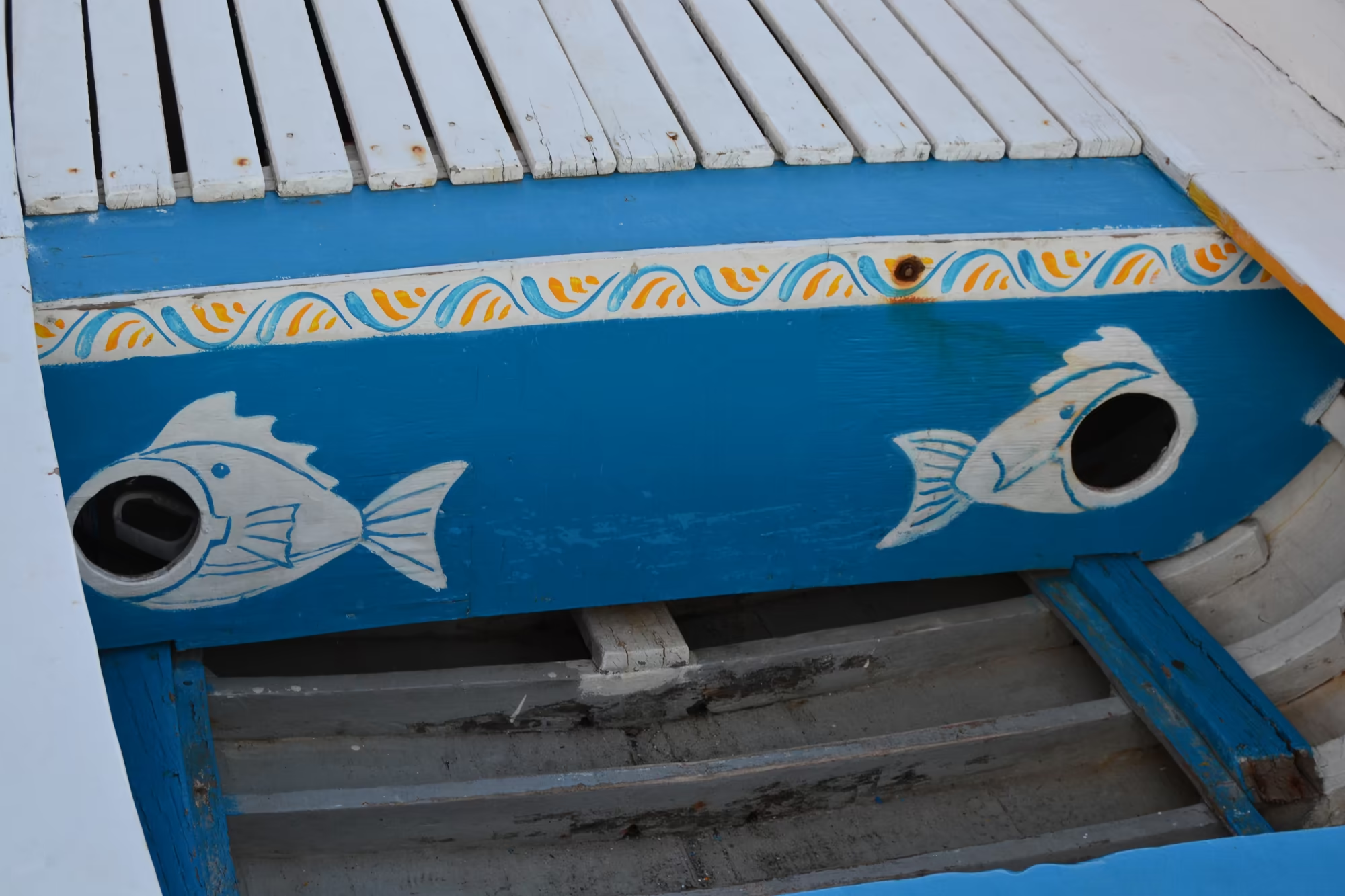
Fishing was the economy that supported the village for centuries, and the signs of it are still everywhere. The harbour holds small boats with painted hulls, some of them named, some converted to other uses, and a weathered hull propped up on land carries murals painted by local hands; the fishmongers, the restaurants and the boat sheds are all parts of the same trade. The patronal feast of Saint John the Baptist in the last week of June is the other expression of the same community, and it is still the event around which the year of the village turns.
The wider history of the coast is the history of Sicily, of which this is a small and well documented part. The island was ruled by Greeks, Carthaginians, Romans, Byzantines, Arabs and Normans, then by the Crown of Aragon and the Spanish monarchy, and in 1816 the Kingdom of the Two Sicilies was formed before Sicily joined the newly unified Italy in 1860 after the expedition led by Giuseppe Garibaldi; in 1946 the island received special status as an autonomous region. The villages of the Riviera dei Ciclopi grew, were damaged by earthquakes and eruptions and by the bombing of 1943, and were rebuilt, which is why the coast has the mixture of old cores and modern buildings that it does.
The villages were rebuilt after the same disasters that struck the rest of eastern Sicily. Earthquakes have damaged the coast repeatedly, the eruption of Etna in 1669 buried villages on the southern flank and reached the walls of Catania, and the bombing of 1943 damaged the towns around Catania during the Allied invasion of Sicily; each time the settlements were rebuilt, which is why their older quarters stand next to buildings of the twentieth century without any obvious break in the street line.
Geology
The Faraglioni are volcanic, and they belong to the same system as the mountain above them. Etna is an active stratovolcano on the east coast of Sicily in the Metropolitan City of Catania, between Messina and Catania, standing above the convergent margin between the African and Eurasian plates; it is the highest ground in Italy south of the Alps at around 3,403 metres, a figure that varies with eruptions, and one of the most active volcanoes in the world. Its lava has repeatedly reached the sea along this coast, and the rocks at Aci Trezza are older eruptive material left standing while the softer rock around it was worn away.
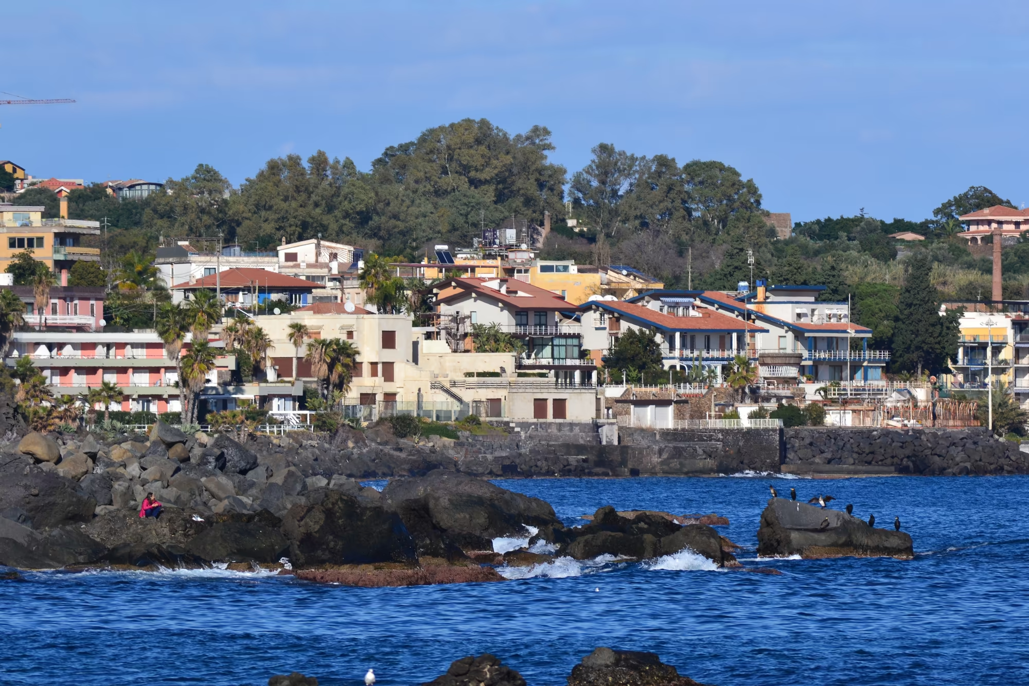
The shape of the coast follows from that history. Where lava entered the water it built platforms and deltas, and the waves have since cut them into cliffs, points and stacks; the shoreline in front of the village is made of dark volcanic rock and pebbles rather than sand, and the sea bed close in is rocky, which is why the water shows turquoise over the shallows and dark over the drop. The three stacks stand close to the shore because they are parts of the same flows that built the land, isolated by erosion rather than by any change in the sea.
The mountain continues to write the geography of the coast. Since the year 1600 there have been at least 60 flank eruptions and countless summit eruptions, nearly half of the flank eruptions since the start of the twentieth century, with flank activity in 2001, 2002 to 2003, 2004 to 2005 and 2008 to 2009 and summit eruptions in 2006, 2007 to 2008, twice in 2012, in December 2018 and in February 2021. Flank eruptions can open at a few hundred metres of altitude, and the towns of this coast, including the villages of the Riviera dei Ciclopi, lie within reach of them; the flows that reached the sea north of Acireale around 1030 CE, on which Santa Tecla and Stazzo now stand, are the classic example.
For a visitor the practical geology is the view. From the harbour and the waterfront paths the whole sequence is visible at once: the stacks offshore, the rocky shore, the black and grey basalt of the cliffs, the terraces and gardens above them, and the white cone of Etna with its plume of smoke behind the roofs. It is a coast made by the mountain in front of it, and looking from the water back towards the land is the best way to see the relationship.
Things to See
The harbour is where the day begins. Colourful blue and white traditional fishing boats are moored along the quay, a painted hull rests at the water’s edge, and a group of fishing boats lies in calm water with a tall conical sea stack and a small monument behind; people stand on the quay, a food stall with signs stands beside the boats, and the whole waterfront works as a single picture of a working harbour in the off season. Several white seagulls perched on a dark rocky outcrop rising from deep blue water complete the scene.
The Faraglioni are the second subject and the reason for the name. A small rocky islet covered in green vegetation stands in blue water with a square tower on top, a tall conical sea stack covered with vegetation rises from calm water with yellow lichen on its rock, and a steep vegetated volcanic stack stands off the coast against the open sea. Two fishing boats float in the calm water behind a rocky islet topped with a building, and from the water the three stacks can be seen together as what they are: the surviving cores of flows that once reached further out.
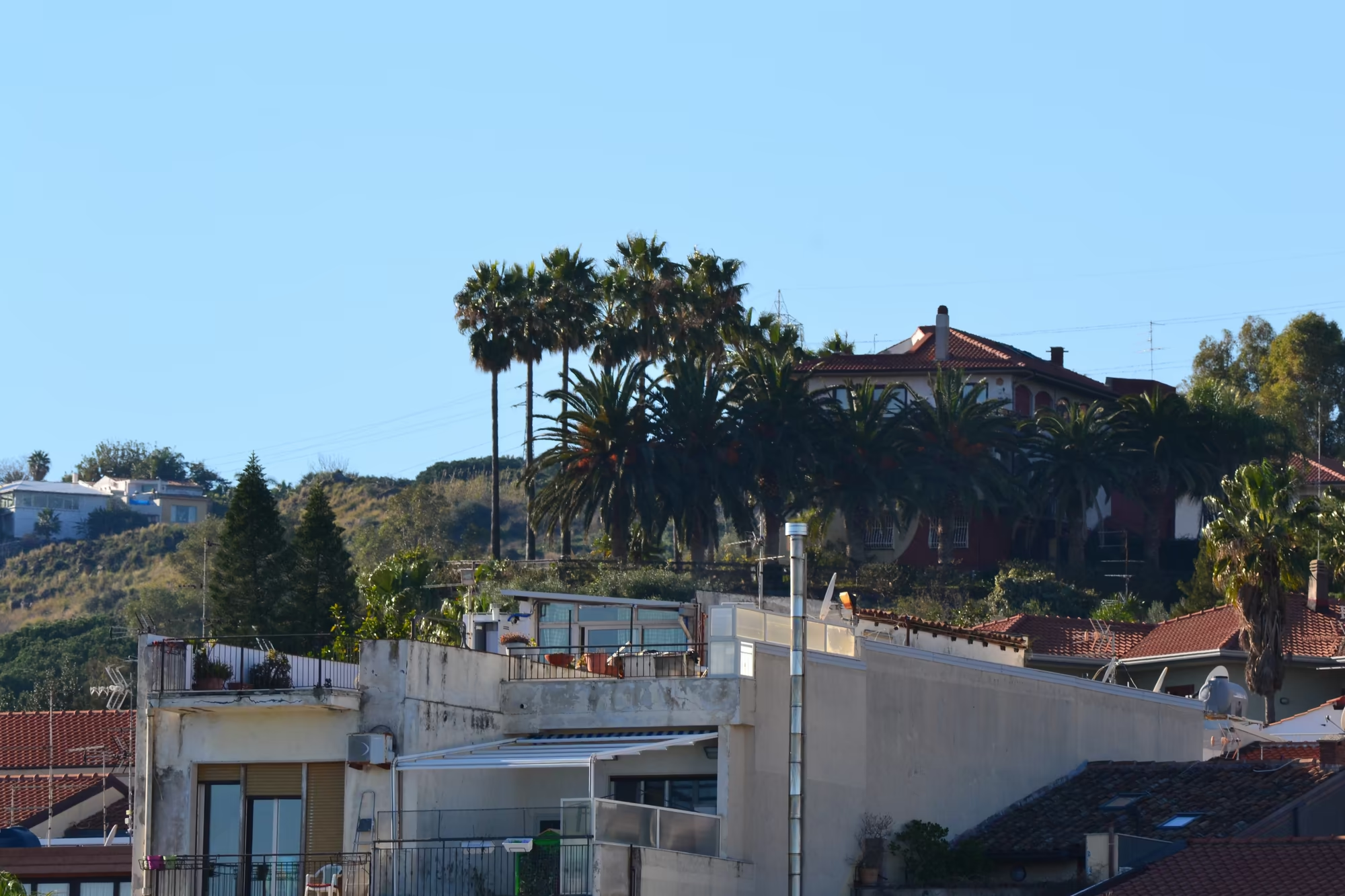
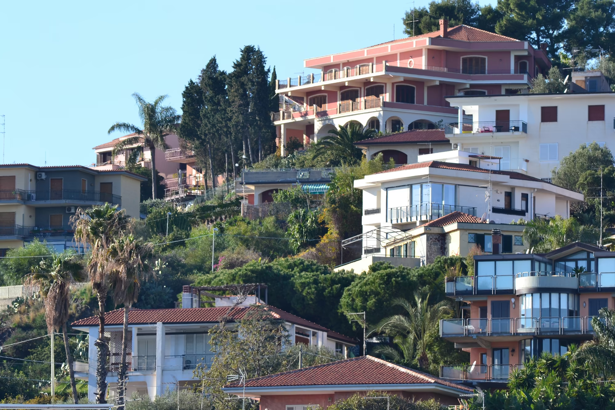
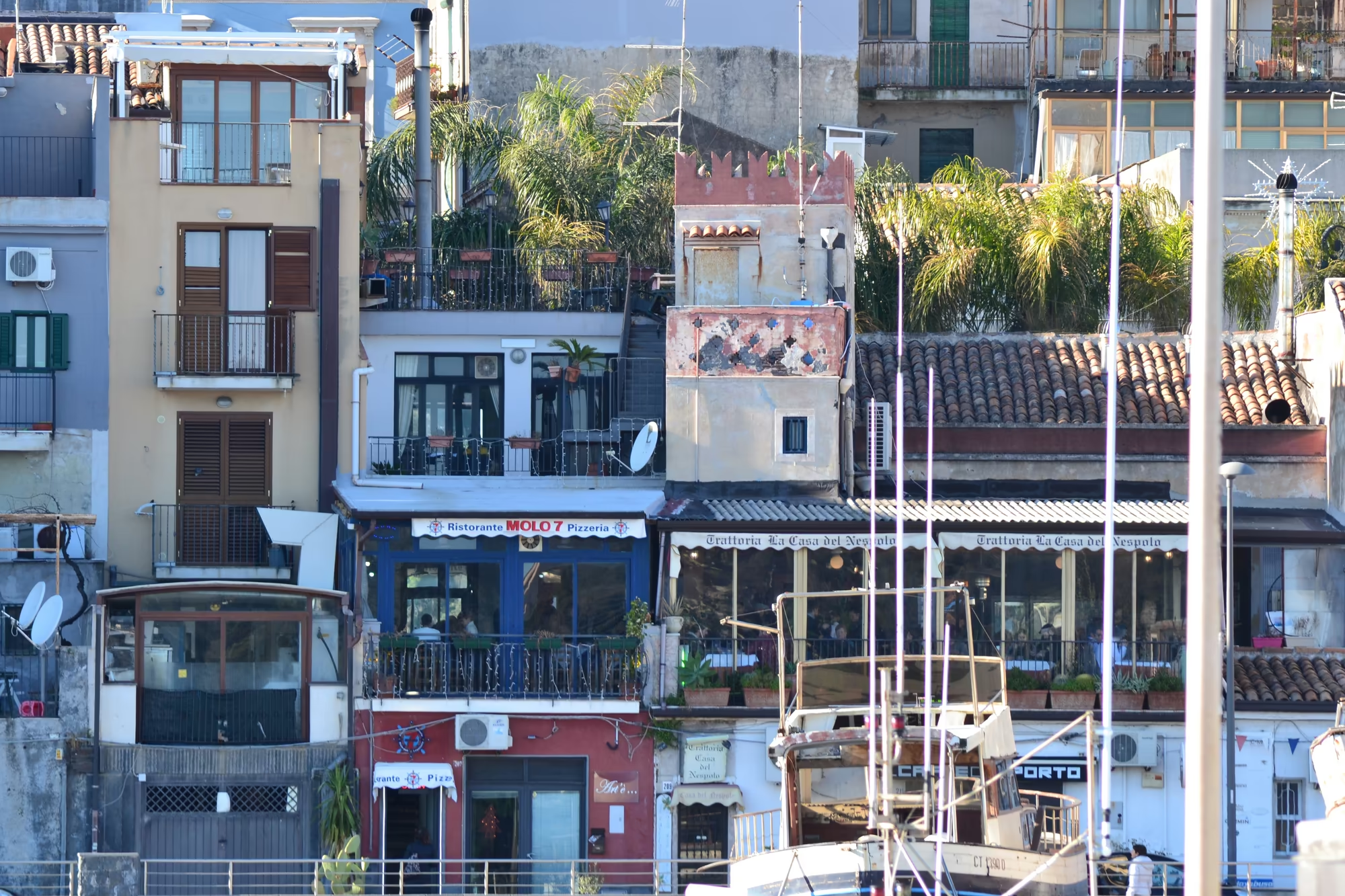
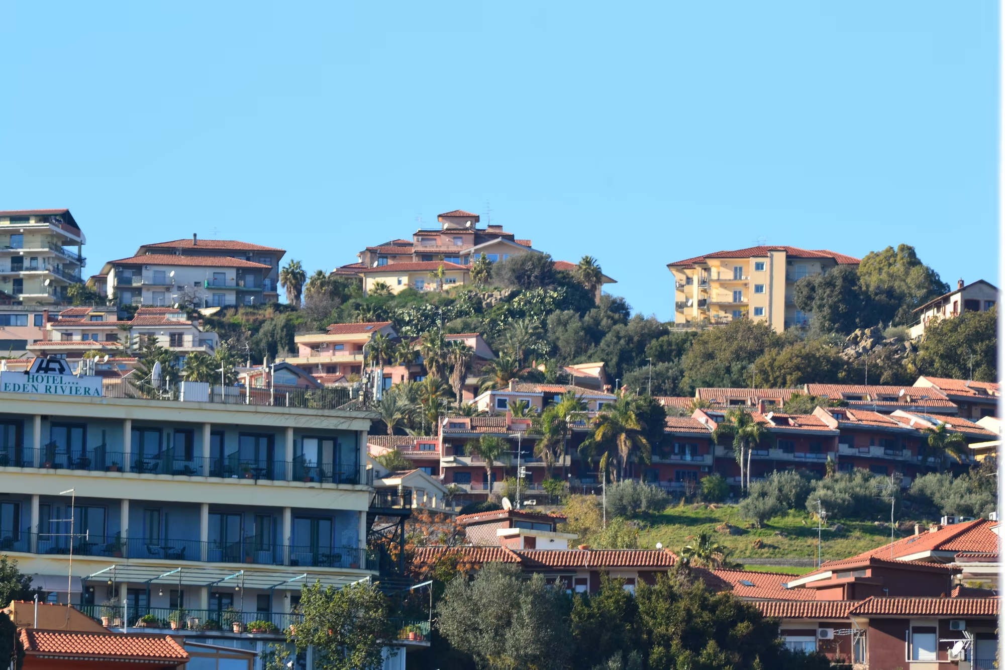
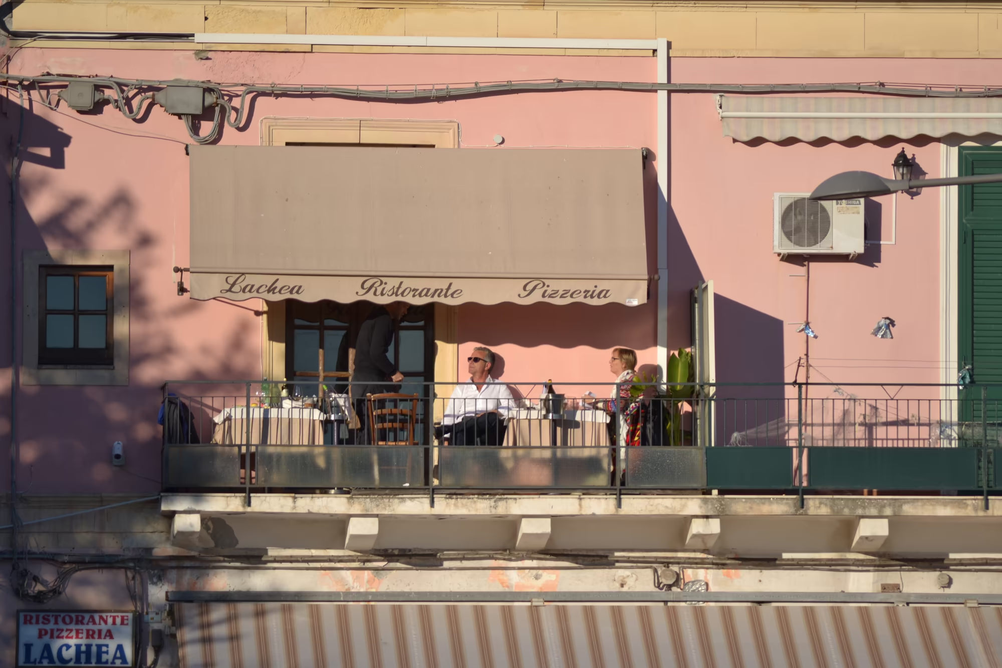
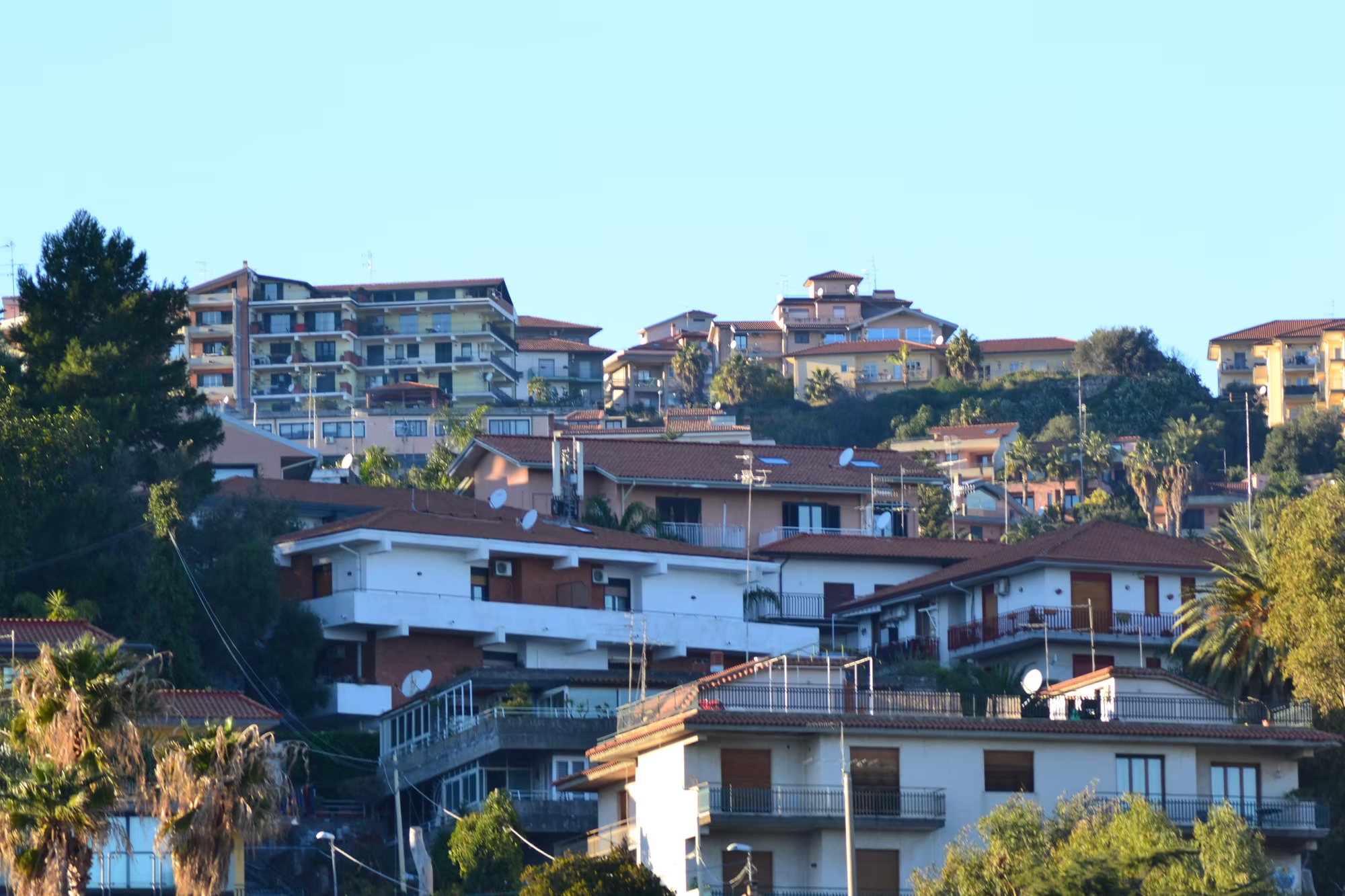
The village and its waterfront fill the rest of the day. A Mediterranean coastal village with red tiled houses climbs a hillside above black volcanic shore, fishing boats are moored along a harbour quay where people stand beside a food stall, and colourful harbour front streets with restaurants and balconies carry signs reading Ristorante Molo and Hotel Eden Riviera; a pizzeria on the waterfront takes the name Lachea from the island opposite. Multi-storey houses with balconies line the hillside streets, palm trees stand in clusters above the roofs, and the volcano appears at the end of almost every one of them.
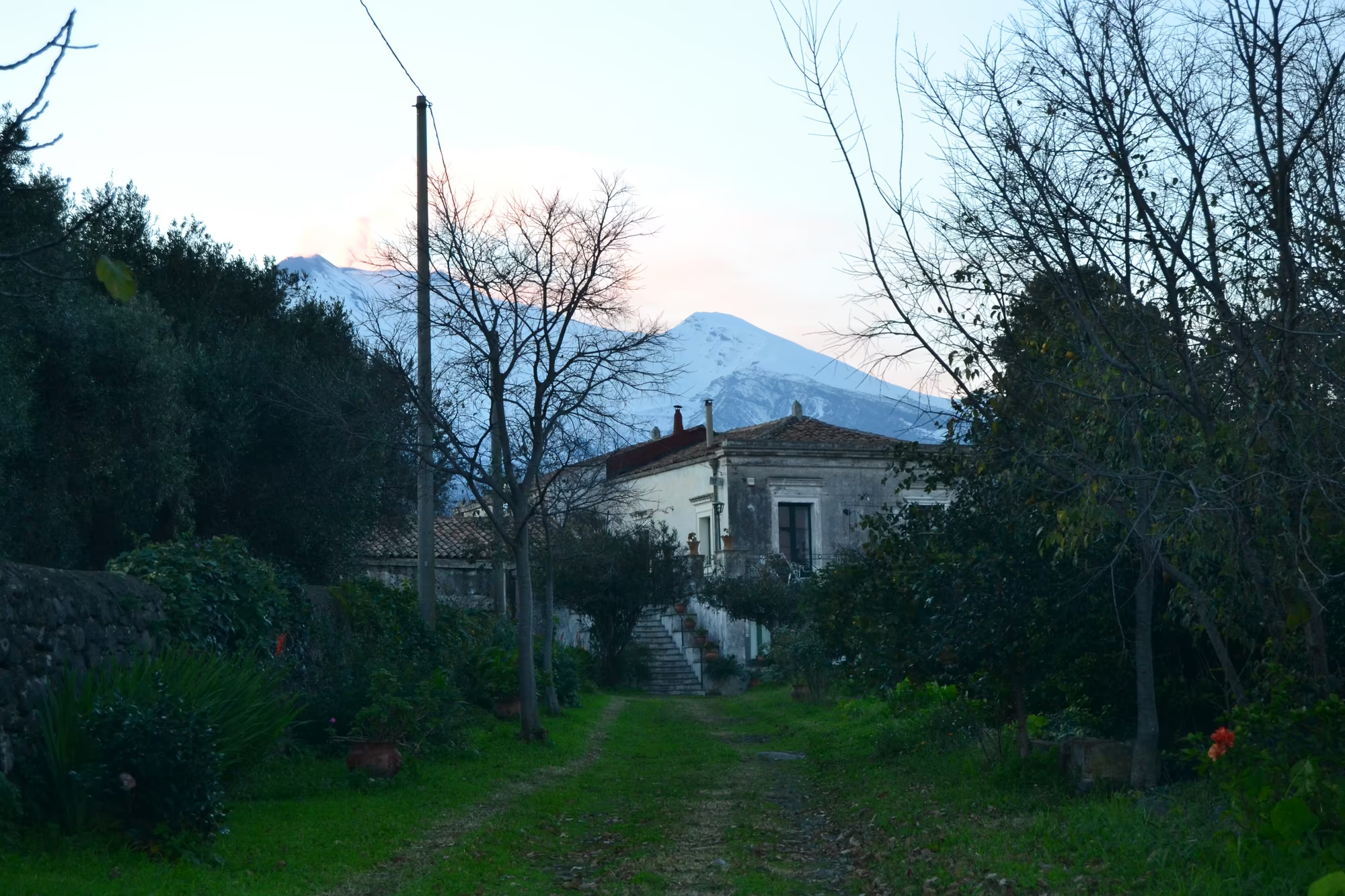
The path out of the village ends the album. A grassy path leads towards a house among bare trees with the snow capped summit of Etna rising behind it, and a panoramic view over the town and its harbour shows the boats moored along the quays with the white mountain above them. In February the light is low, the trees are leafless, the boats are painted in bright colours against grey stone, and the whole coast is legible as a single system: a mountain, a shore of lava, a harbour and a village that has lived from all three.
The waterfront is where the day ends. In the evening the boats lie still in the harbour, the lamps come on along the quay, and the last light stays on the snow of the mountain long after the water has gone grey; a few people walk the front, the smell of fried fish comes from the restaurants that are open, and the sea makes the only noise. It is a small place with a large view, which is the whole character of the Riviera dei Ciclopi.
References
- Behncke, B., Neri, M. & Nagay, A. (2005). Lava flow hazard at Mount Etna (Italy): new data from a GIS-based study. Kinematics and Dynamics of Lava Flows, Geological Society of America. doi.org/10.1130/0-8137-2396-5.189
- Wikipedia contributors (2026). Aci Castello. en.wikipedia.org/wiki/Aci_Castello
- Wikipedia contributors (2026). Aci Trezza. en.wikipedia.org/wiki/Aci_Trezza
- Wikipedia contributors (2026). Basalt. en.wikipedia.org/wiki/Basalt
- Wikipedia contributors (2026). Catania. en.wikipedia.org/wiki/Catania
- Wikipedia contributors (2026). Cyclopes. en.wikipedia.org/wiki/Cyclopes
- Wikipedia contributors (2026). Giovanni Verga. en.wikipedia.org/wiki/Giovanni_Verga
- Wikipedia contributors (2026). I Malavoglia. en.wikipedia.org/wiki/I_Malavoglia
- Wikipedia contributors (2026). Ionian Sea. en.wikipedia.org/wiki/Ionian_Sea
- Wikipedia contributors (2026). Italian neorealism. en.wikipedia.org/wiki/Italian_neorealism
- Wikipedia contributors (2026). Luchino Visconti. en.wikipedia.org/wiki/Luchino_Visconti
- Wikipedia contributors (2026). Mount Etna. en.wikipedia.org/wiki/Mount_Etna
- Wikipedia contributors (2026). Odyssey. en.wikipedia.org/wiki/Odyssey
- Wikipedia contributors (2026). Polyphemus. en.wikipedia.org/wiki/Polyphemus