Day 2 - Through The Al Hajar Mountains









Journal Notes
General
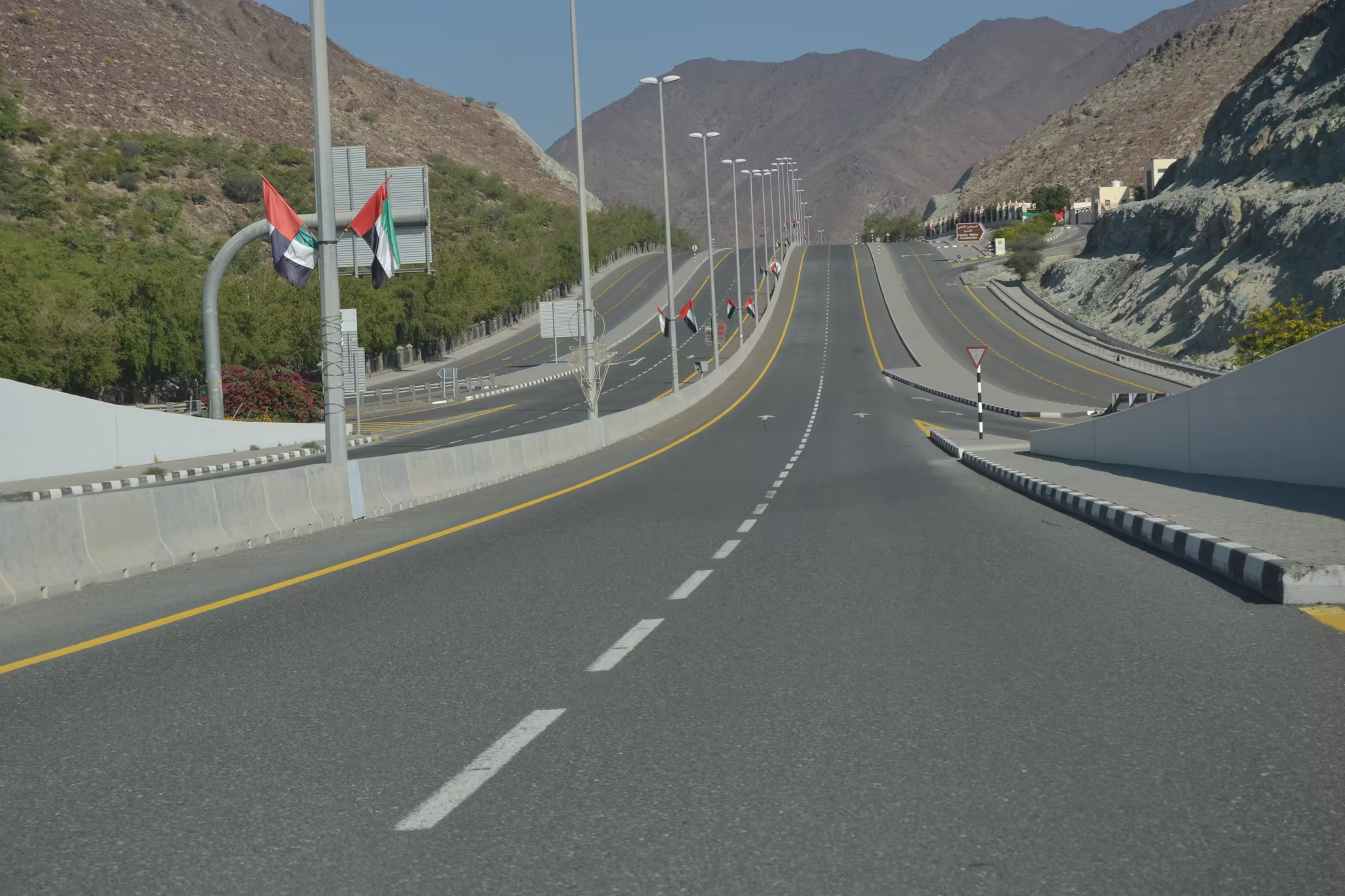
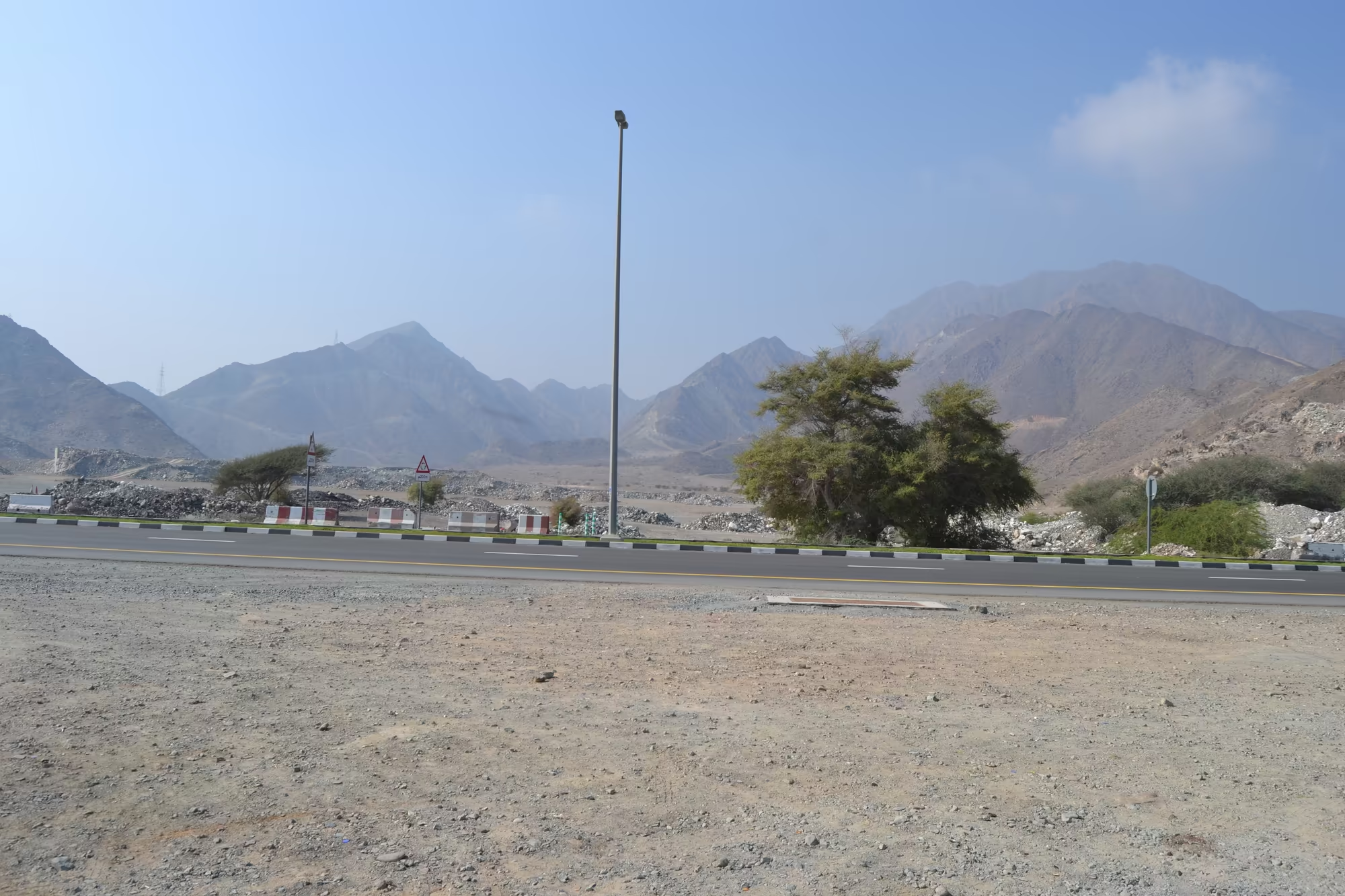
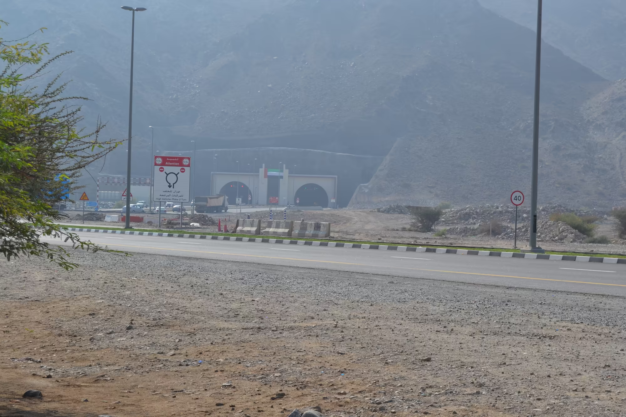
The second day of the journey left the Gulf coast early and drove east into the mountains, and it ended on the other side of them, on the shore of the Gulf of Oman at Fujairah. The road does not climb gently. It leaves the low plain at speed, runs along the median of a divided highway planted with flags, and then enters a gorge in which the rock stands on both sides within a few metres of the tarmac. Warning signs appear, the lanes narrow, and the route disappears into a pair of tunnels bored straight through a mass of grey brown stone.
What waits on the far side is a different country. Fujairah is the only emirate capital on the east coast, an industrial and commercial town at the foot of the Hajar Mountains that looks out on the Gulf of Oman. In 2016 the town had a population of just over ninety seven thousand, about forty three per cent of the whole emirate, and by 2023 that figure had grown to almost one hundred and nineteen thousand. Behind it stand the mountains, a wall of bare rock that begins to rise a few streets from the water.
The day was given to the coast rather than to any single sight. There is a corniche with date palms and a beach, a harbour with a container terminal on the far side of the bay, a handful of roundabouts with monuments in the middle of them, a great mosque with four slender minarets, and an older fort on its hill above the palm gardens. The distances are short, the traffic is light, and the impression is of a town that has grown recently and is still growing, with construction hoardings among the palms.
Then came the return, climbing back through the same gorge in the last of the light, with the mountains turning blue and the white dome of a mosque below the road picking up the colour of the sky. It is a route that thousands of people drive every day, and for a visitor who has crossed a range that splits the country into two different climates it is the most memorable road in the Emirates.
History
The Hajar Mountains have always divided the country as much as they have defined it. On the west side lie the desert and the shallow Gulf, on the east a narrow coastal plain with deeper water and easier access to the Indian Ocean. For most of history the interior was reached with difficulty, and the passes and wadis that cross the range were the only routes between the two coasts. Some of them carried water, and where there was water there were villages, terraces and villages with watchtowers.
The east coast itself lived from the sea. Fishing, pearling and the carrying trade between the Gulf and the Indian coast supported its towns, and the harbours on this shore have been used for as long as anything has been written down about the region. The Portuguese held the entrance to the Gulf at Hormuz in the sixteenth century and taxed the traffic, and Musandam, the peninsula that commands the strait, belongs to the same mountain system that stands behind Fujairah.
In the nineteenth century the coastal sheikhdoms signed treaties with the British, beginning in 1820, and became the Trucial States. Fujairah’s status within that system was the most complicated of all: it was the last to be recognised as a separate sheikhdom and the last to join the federation, on 10 February 1972, two months after the United Arab Emirates had been founded by the other six. When the country was formed, the rulers of Fujairah and Ras Al Khaimah brought into it an east coast, a second climate, and the mountains that separate the two.
The modern history of the range is a history of roads and of water. The tunnels and the divided highway that carried this journey across the mountains are recent works, built with the revenues of the oil years, and they have done in fifty years what the passes could not do in five thousand. Water, the older concern, is still managed by a system that is older than any of the cities: the aflaj, or falaj channels, which bring groundwater from the mountains to villages and fields by gravity, without pumps and without engines.
A falaj is not a well but a tunnel. Water is intercepted below the ground, in an aquifer or in the gravel of a wadi, and then carried along a gently sloping channel to the place where it is wanted, sometimes for kilometres. Vertical shafts at intervals give access for cleaning and for lifting the spoil. The system is related to the qanat of Iran and has a history of some five thousand years in this part of the world. The aflaj of Oman were inscribed together on the UNESCO World Heritage List in 2006.
What makes the aflaj remarkable is not only the construction but the law that grew around it. Water in a falaj is not owned but shared, divided among the villagers in fixed proportions according to a system set out in traditional law, with the shares tradable, inheritable and in some places sold by the hour. Two hours of water a week in the right season is a form of property with a market price, and the owners are not only individuals but mosques, schools and the wider community. It is one of the oldest water allocation systems in continuous use anywhere, and in the villages of the mountains it is still running.
Geology
The Hajar Mountains are the product of one of the most remarkable events in the geological history of the region. They run for roughly seven hundred kilometres through the north east corner of the Arabian Plate, from the Musandam Peninsula in the north to the east coast of Oman in the south, and they are about one hundred kilometres wide. The highest peak, Jebel Shams, rises to 3,009 metres north of the town of Al Hamra and is known as the Mountain of the Sun, because it is said to be the first place in Oman to see the sunrise. In summer the summit is around twenty degrees Celsius while the coast below is unbearable, and the mountain shelters the Al Nakhur gorge, which is called the Grand Canyon of Arabia.
The range is a land of limestone, and limestone is the simpler half of the story. The Hajar Supergroup, together with the Sumeini and Haybi groups that lie above it, is a pile of shallow marine carbonate and deep water sediment that accumulated along a continental margin over a long period from the Permian onwards, and its beds contain fossils that show exactly what was living in the sea from which they were deposited. This is rock that was laid down on the passive edge of a continent, long before the ocean that made it had closed.
The remarkable half of the story is the Semail Ophiolite, and it is the reason that geologists come here from all over the world. Oceanic crust is normally invisible: it forms at mid-ocean ridges, lies under four kilometres of water and is then destroyed at subduction zones after a hundred million years or so. Here a slab of it, formed in the Late Cretaceous about ninety five million years ago as part of the floor of the Tethys ocean, was thrust up and over the edge of the continent instead of being swallowed. The process is called obduction, and the Semail Ophiolite is one of the finest exposed sections of oceanic crust and upper mantle on earth. Its layers read from the bottom upwards like an anatomy lesson: a metamorphic sole of a hundred and fifty to two hundred metres, peridotite from the upper mantle eight to twelve kilometres thick, layered igneous peridotite and gabbro, a sheeted dyke complex in which hundreds of parallel basalt dykes once fed the ridge, and finally pillow lavas that were erupted on the sea floor. All of it is silicate rock with silica content between about forty five and seventy seven per cent, and all of it can be walked on.
The emplacement was not a single event but a long and complicated one. Three or four groups of rock were stacked on top of each other: the continental margin sequence, deep water sediments of the continental slope, the oceanic crust of the ophiolite thrust above them, and finally, on top of everything, shallow marine and terrestrial sediments of the Late Cretaceous to Miocene. The high ground of the range stands around two major culminations, Jebel Akhdar and Saih Hatat. Deep beneath them, on the eastern side, lie eclogites, rocks that were carried down along an old subduction zone to depths of fifty kilometres or more and then brought back up again, and the exhumation produced what may be the largest sheath fold on earth, the Wadi Mayh megasheath fold. The range is not growing now. The Arabian Plate is moving north at two or three centimetres a year and the Zagros collision is deforming Iran, while the mountains of Oman have no significant seismicity at all: the uplift that made this topography has finished.
The ophiolite also gave the mountains their metals, and the country its earliest exports. Copper occurs in the altered volcanic rocks at the top of the sequence and chromium in the mantle rocks below, and both were worked in antiquity. The great age of metal production in this corner of Arabia is the Bronze Age, three thousand years and more before the present, and it was the copper of the mountains of Oman that supplied it.
On top of this older architecture the present landscape has been carved by water that is almost never there. The wadis of the range are dry for most of the year. They fill only after heavy rain, and then with an energy that surprises everybody who sees it: a flash flood in a wadi can move boulders, sweep vehicles away and deposit the gravel fans on which the villages stand. The hazard is well enough known to be mapped systematically in the region. Where a wadi contains water, or where a falaj brings it down from the mountains, the gravel and the alluvium of the valley floor can be farmed, and the green strip that follows a wadi up into the mountains is the oldest kind of settlement pattern in Arabia.
Behind Fujairah the whole system runs out into the sea. The coast here is a fault line rather than a beach in the ordinary sense: the mountains fall towards the Gulf of Oman and the shelf beyond them drops quickly into deep water, which is why this small emirate has become a bunkering and container port of some importance, and why the offshore basin has attracted the attention of the petroleum industry in its own right.
Things to See
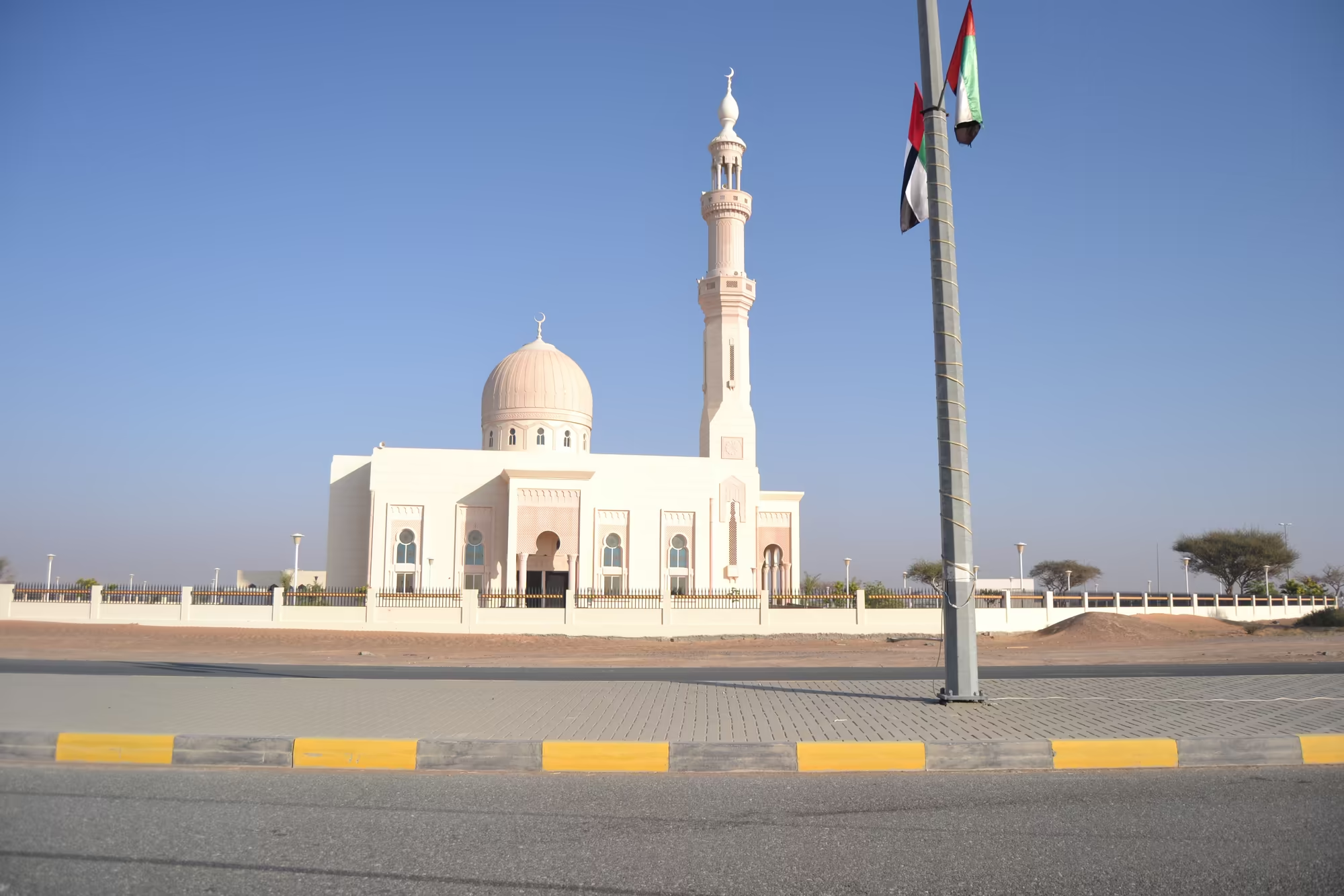
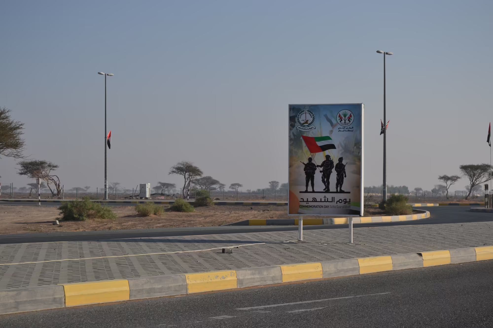
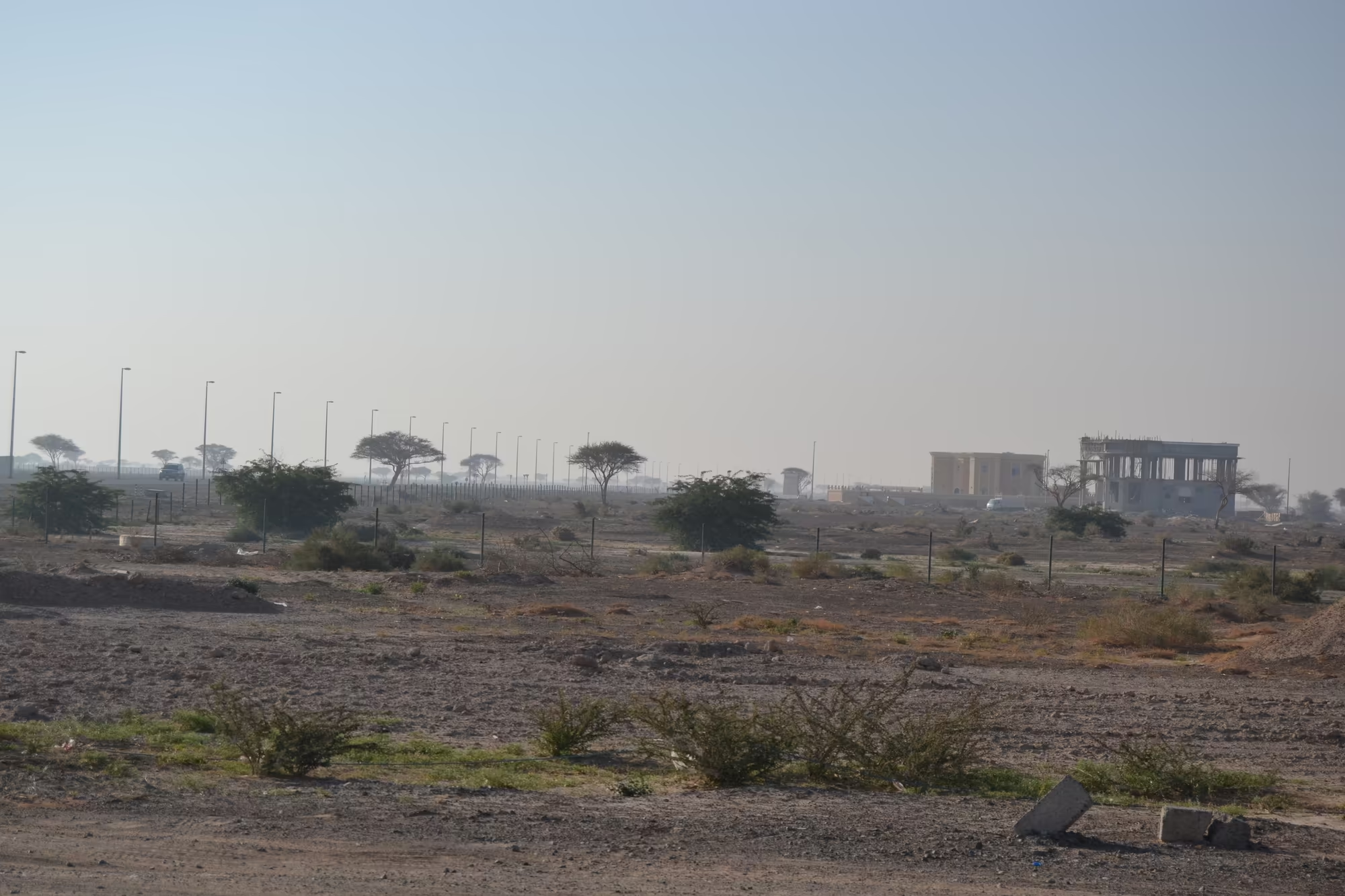
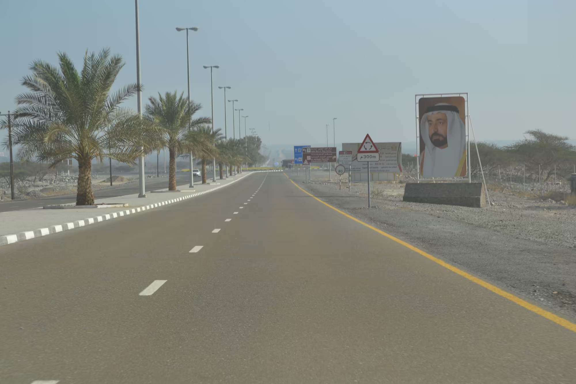
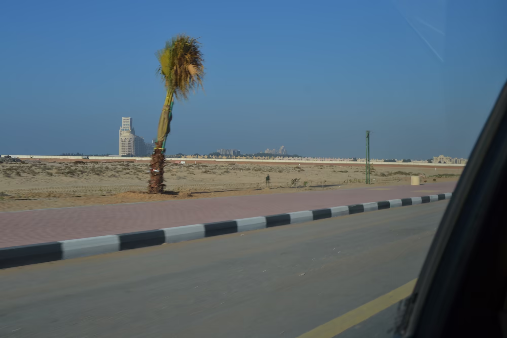
The drive east offers its own sequence of sights, and they are sights of the road rather than of a place. A white mosque with a dome and a minaret stands behind a fence strung with national flags. A large hoarding beside the highway shows three soldiers in silhouette. The desert plain on either side of the road is hazy and flat, carrying power lines and unfinished concrete. Then the range rises behind a foreground of scree dotted with green shrubs, and the highway runs into the gorge along a median planted with flags, with a rock face above the road and a portrait of a ruler on a hoarding beside it.
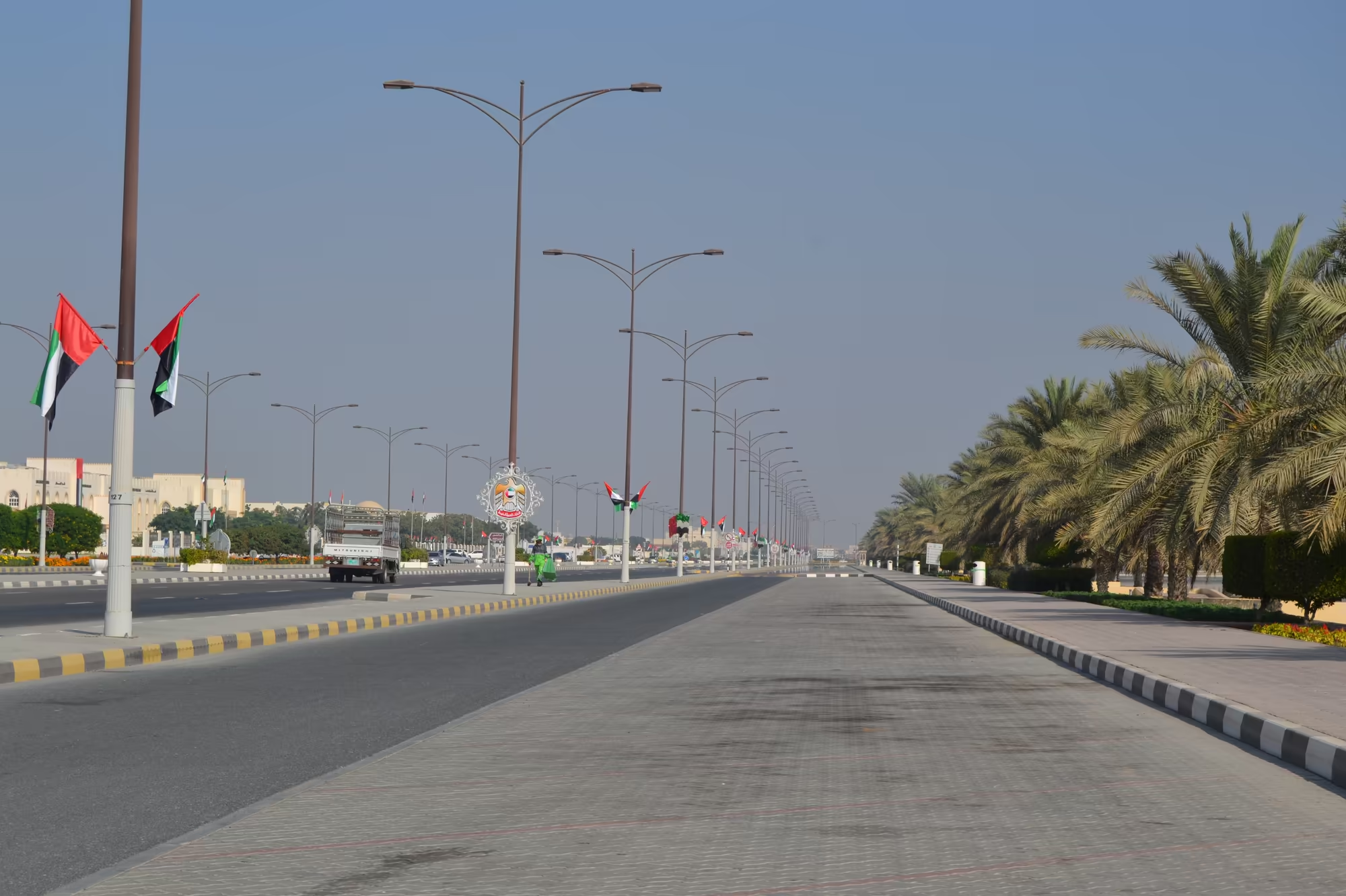
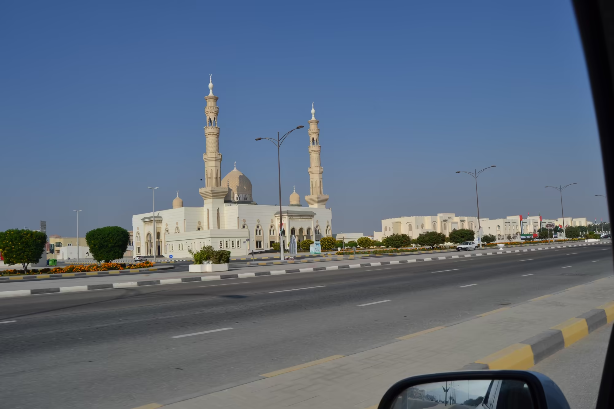
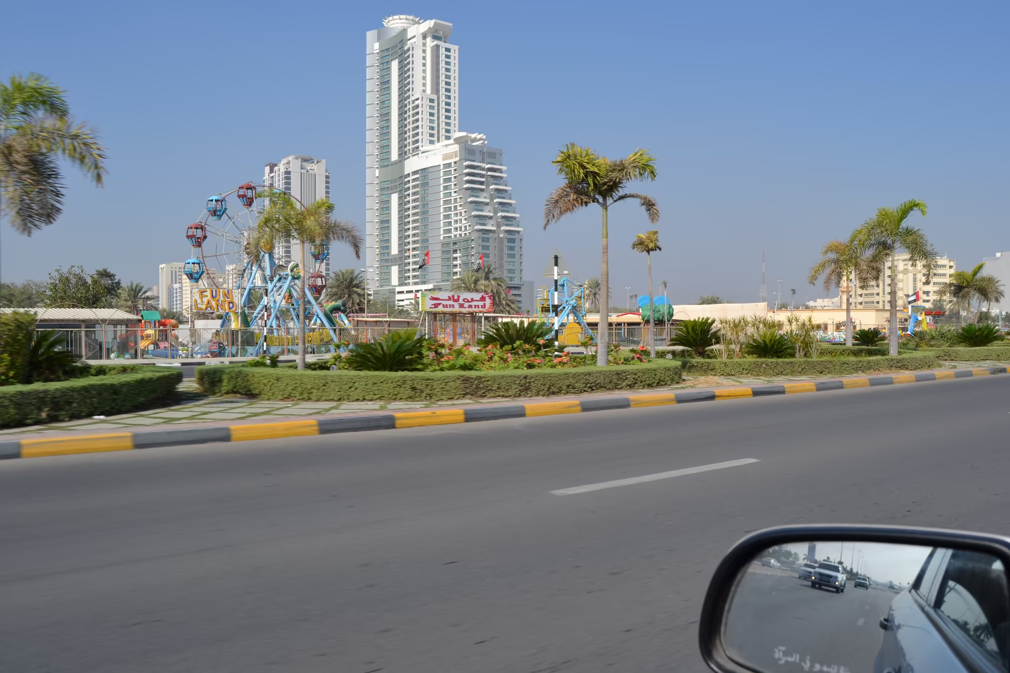
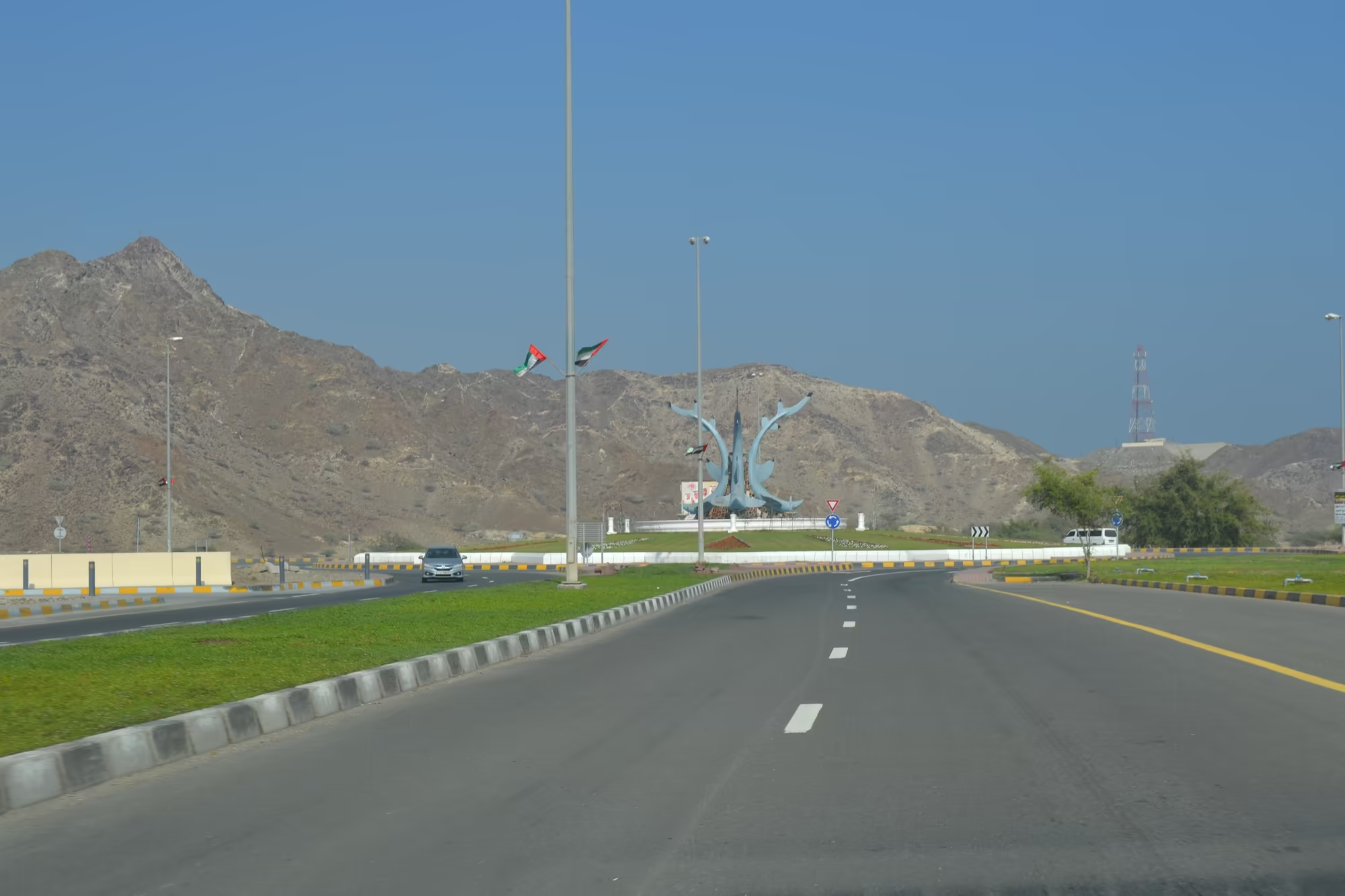
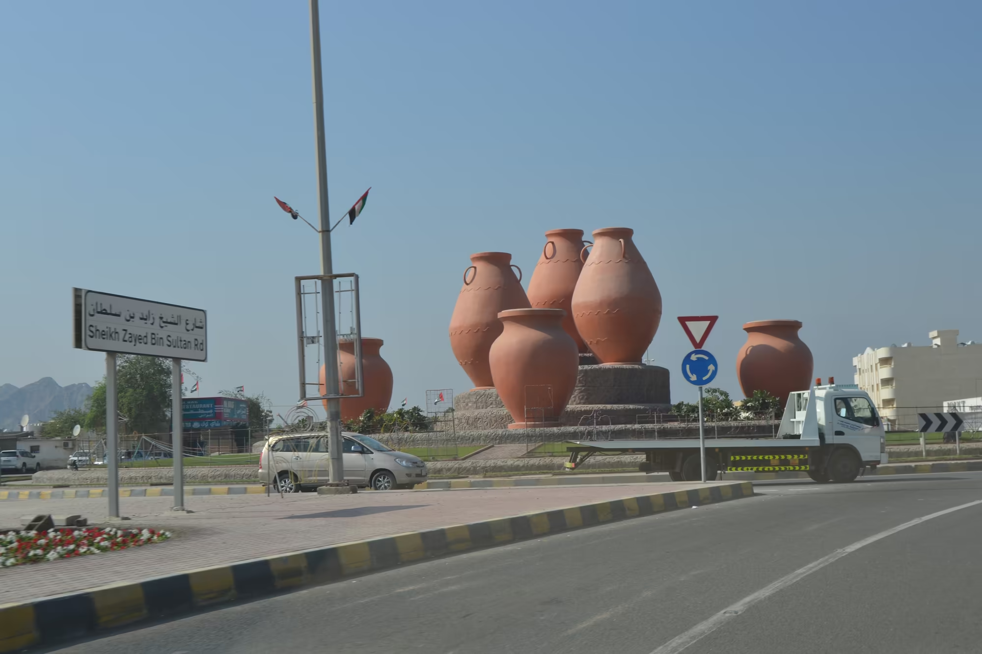
In Fujairah the town presents itself in a series of roundabouts, which is the local way of arranging both traffic and civic pride. One of them carries a large brass coffee pot, the dallah, on a mound in the middle; another has an enormous clay jar; a third is decorated with a teal coloured monument and a ring of flags. Around them stand the buildings: a cream coloured mosque with twin minarets beside a wide road, a boulevard with ornate lamp posts and palms leading towards an emblem roundabout, a white tower behind an amusement park with a Ferris wheel, and a beige mosque with two minarets at the head of another junction. Further out, at the foot of the mountain, a white domed mosque stands beside the beige stone buildings of the old fort, with green lawns in front of it and bare rock behind.
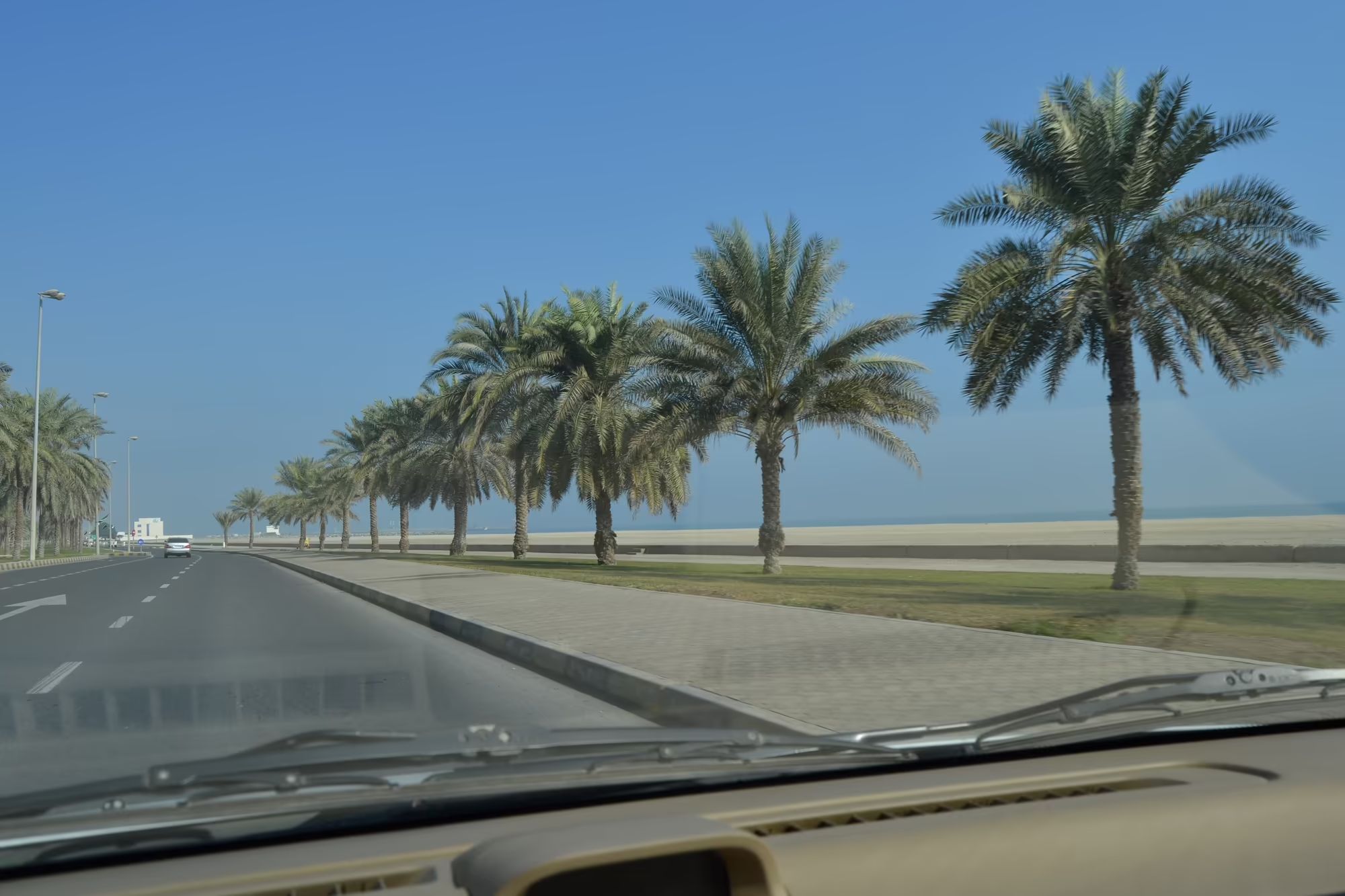
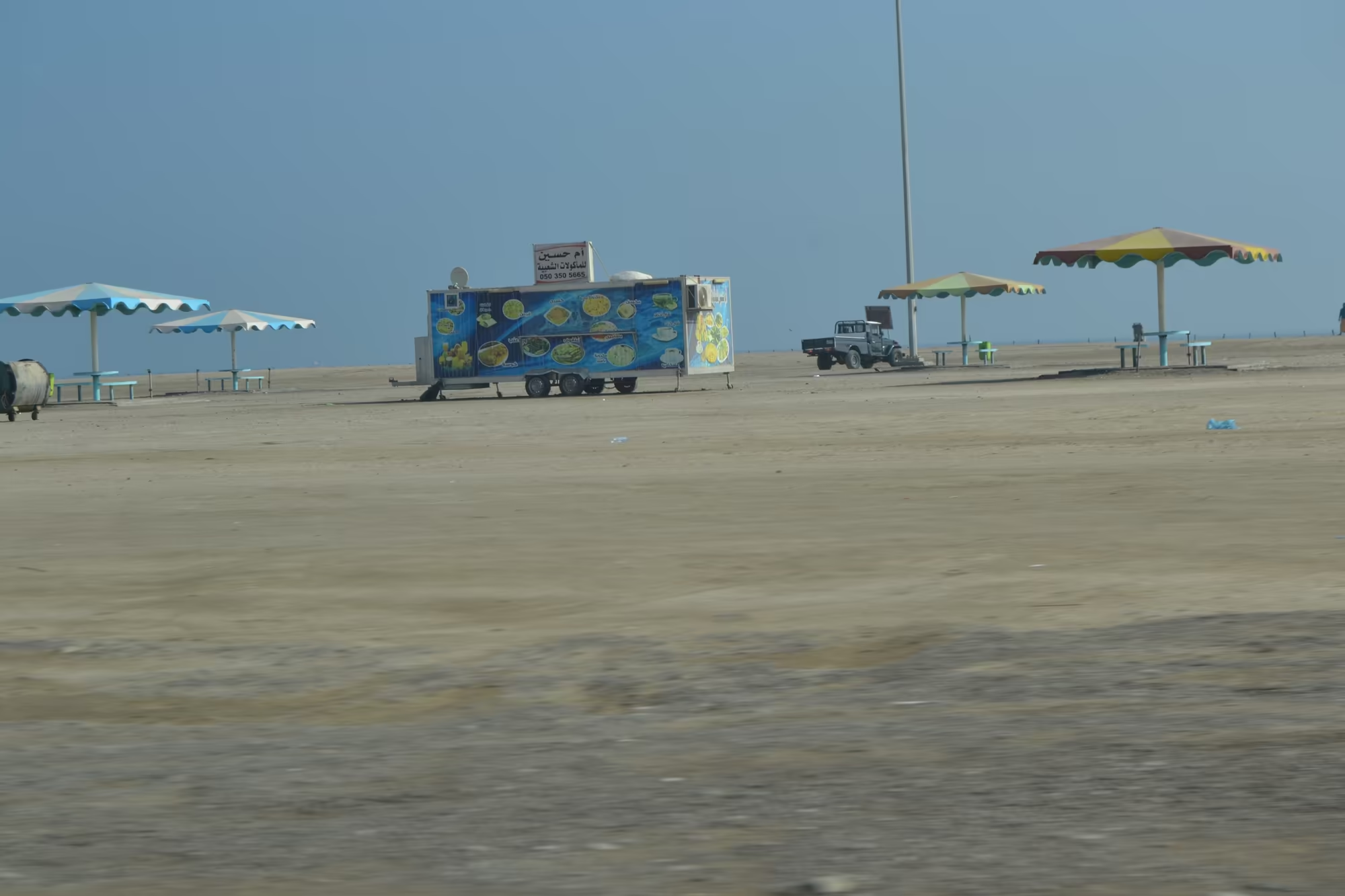
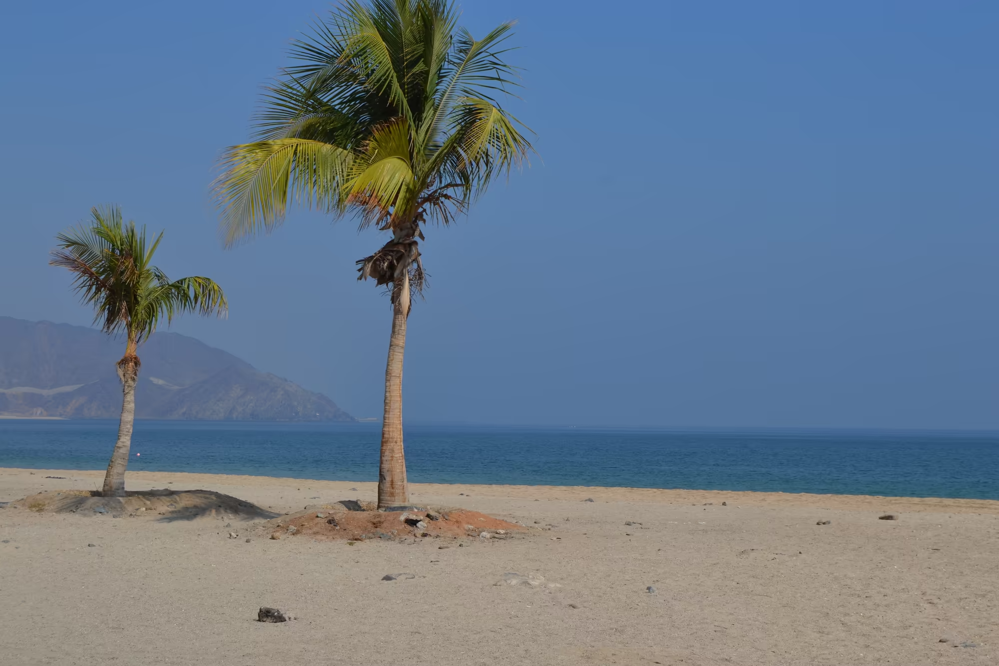
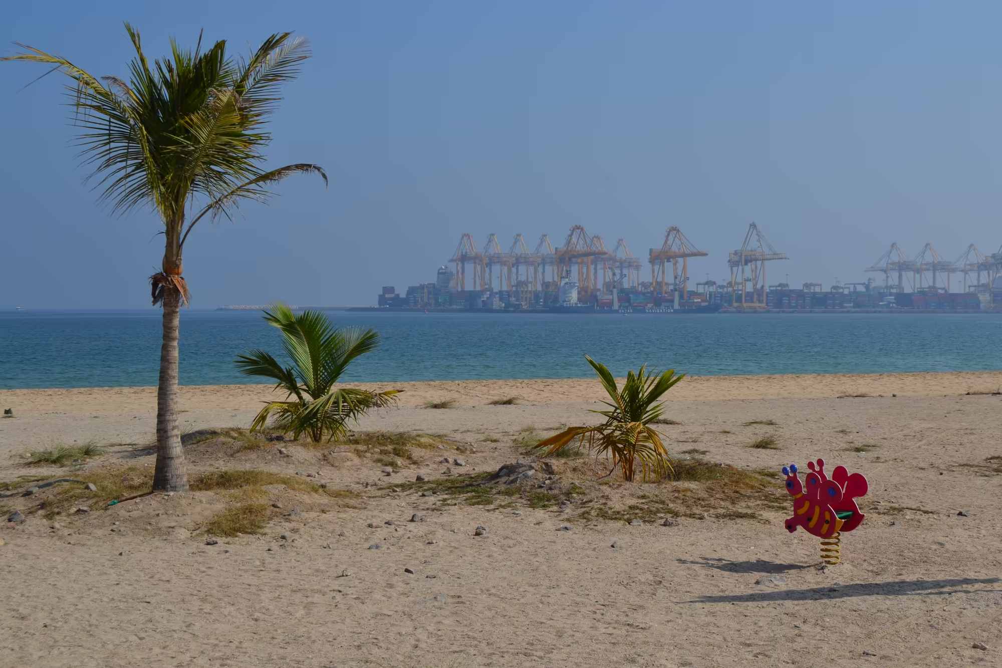
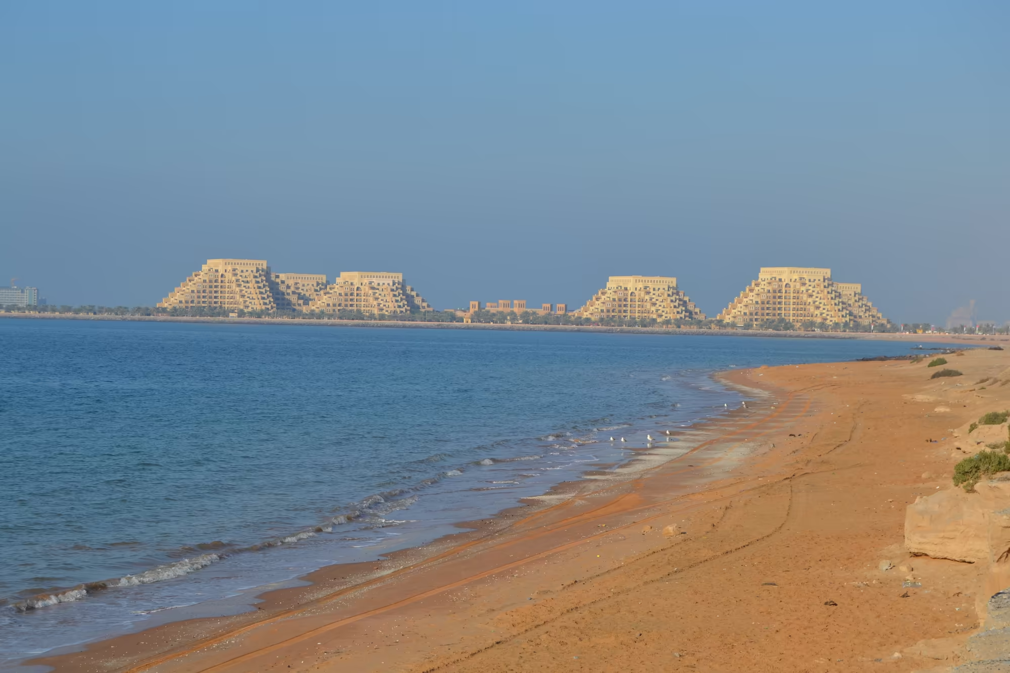
The seafront is the other half of the town. Date palms line the promenade beside the coastal road, with a sandy beach and blue water beyond it, and from the sand the container port can be seen across the bay with its cranes and stacked boxes. There is a small park with a playground, a snack kiosk painted blue beside the beach, and a pickup truck parked on the sand. A single palm leans over the water, and where the shore becomes rocky the beach turns to gravel and the sea to a hard turquoise, with a conical islet standing offshore.
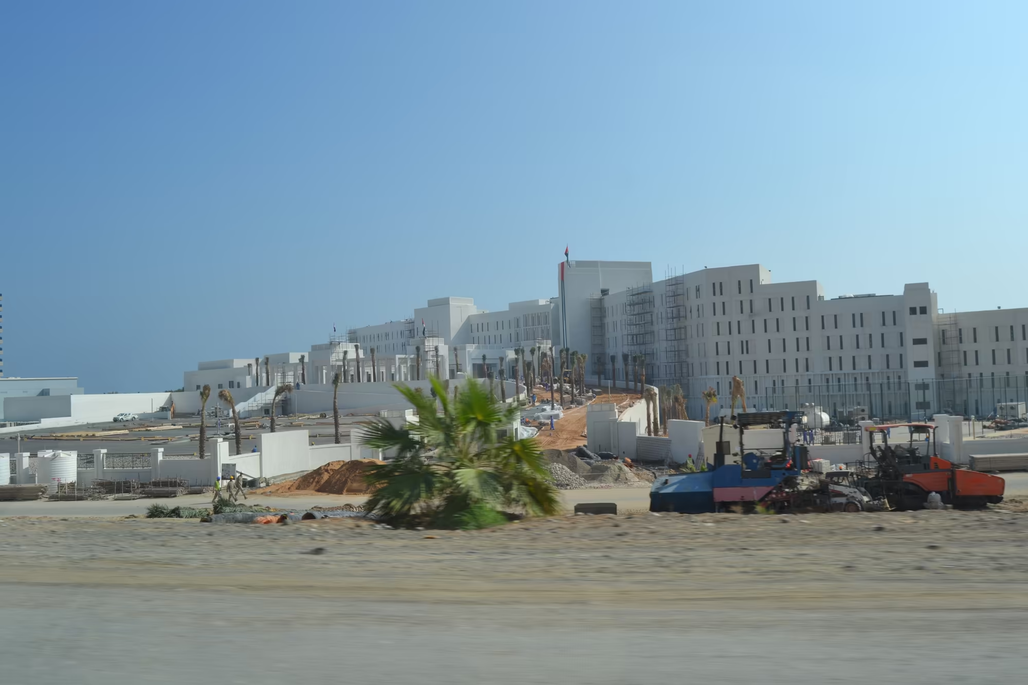
The road out of the mountains towards the coast passes a large white building complex behind a construction site, and later, near the sea, a beach of dark gravel beside a cliff road. What is served in the town is worth a sentence of its own: a meal laid out on a gravel surface in plastic containers and foil, curries of chicken and vegetables with round flatbreads baked in a tannur, eaten without ceremony in the open air. It is the food of the coast and the mountains at once, and it is the plainest and best thing that a day of driving here has to offer.
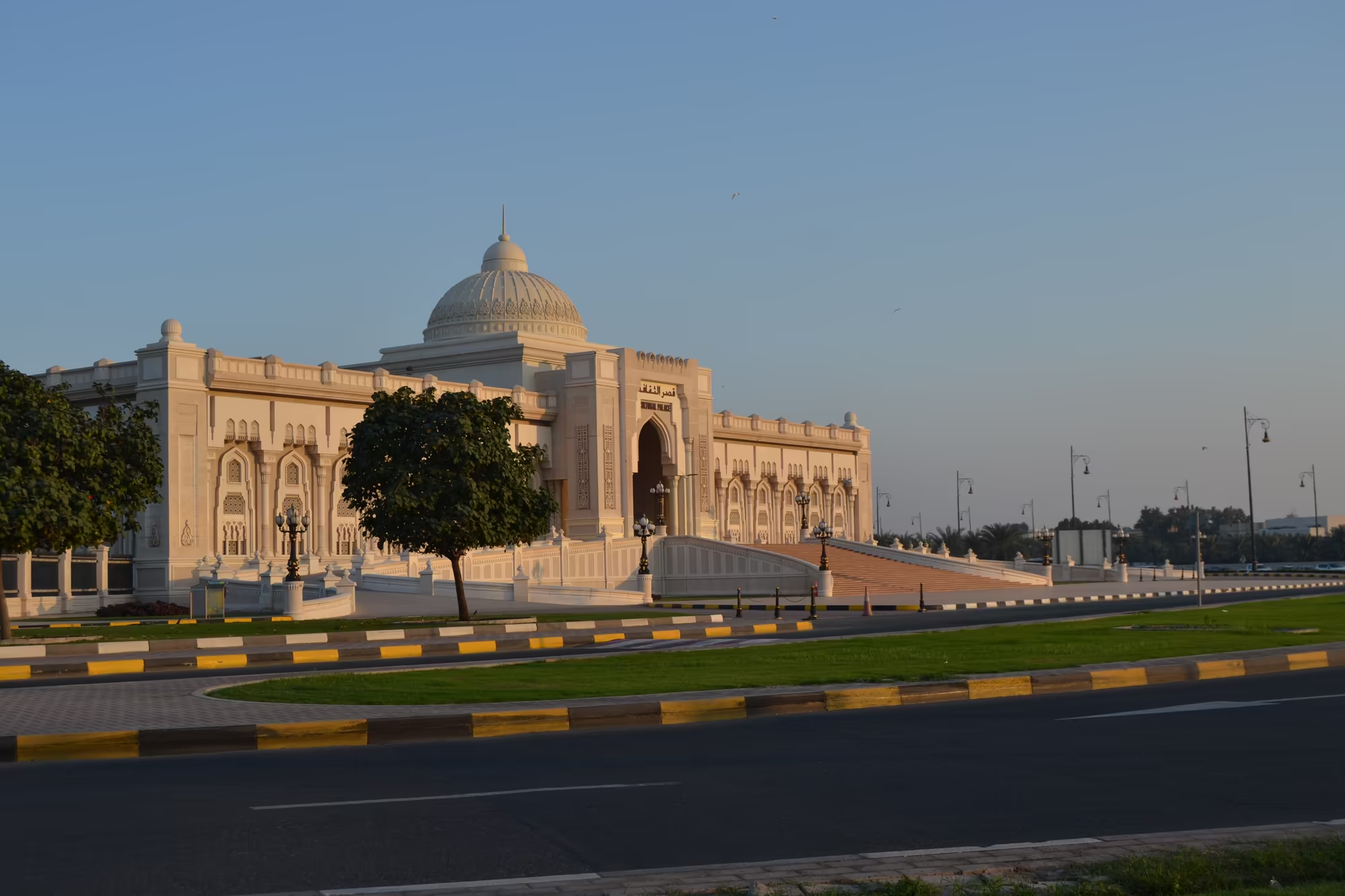
The climb back at the end of the day returns through the same gorge and the same tunnels, and it is best done in the last hour of light. The road climbs with the traffic, the rock walls close in again, and then the plain opens out below with the lights coming on across it. A great white building with a central dome and an arcade of arches catches the last of the sun behind a green lawn and a road, and then the mountains are only a dark edge on the right hand side of the windscreen.
References
- Wikipedia contributors (2026). Hajar Mountains. en.wikipedia.org/wiki/Hajar_Mountains
- Wikipedia contributors (2026). Semail Ophiolite. en.wikipedia.org/wiki/Semail_Ophiolite
- Wikipedia contributors (2026). Ophiolite. en.wikipedia.org/wiki/Ophiolite
- Wikipedia contributors (2026). Jebel Shams. en.wikipedia.org/wiki/Jebel_Shams
- Wikipedia contributors (2026). Jebel Akhdar (Oman). en.wikipedia.org/wiki/Jebel_Akhdar_(Oman)
- Wikipedia contributors (2026). Wadi. en.wikipedia.org/wiki/Wadi
- Wikipedia contributors (2026). Aflaj Irrigation Systems of Oman. en.wikipedia.org/wiki/Aflaj_Irrigation_Systems_of_Oman
- Wikipedia contributors (2026). Fujairah. en.wikipedia.org/wiki/Fujairah
- Wikipedia contributors (2026). Fujairah Fort. en.wikipedia.org/wiki/Fujairah_Fort
- Wikipedia contributors (2026). Ras Al Khaimah. en.wikipedia.org/wiki/Ras_Al_Khaimah
- Wikipedia contributors (2026). Khor Fakkan. en.wikipedia.org/wiki/Khor_Fakkan
- M. Searle, Geology of the Oman-United Arab Emirates Mountains, in: GeoGuide (2019) 51-84. doi.org/10.1007/978-3-030-18453-7_3 doi.org/10.1007/978-3-030-18453-7_3
- S. Nasir, Oxygen thermobarometry of the Semail harzburgite massif, Oman and United Arab Emirates, European Journal of Mineralogy 8 (1996) 153-164. doi.org/10.1127/ejm/8/1/0153 doi.org/10.1127/ejm/8/1/0153
- A. Abdelmaksoud, M. Y. Ali, Petroleum system analysis of Fujairah basin, eastern offshore of the United Arab Emirates, Marine and Petroleum Geology 170 (2024) 107157. doi.org/10.1016/j.marpetgeo.2024.107157 doi.org/10.1016/j.marpetgeo.2024.107157
- M. Y. Ali, A. Farid, Cretaceous-Neogene structural evolution of south-east Abu Dhabi, United Arab Emirates, Journal of Petroleum Geology 39 (2016) 221-245. doi.org/10.1111/jpg.12644
- W. R. Norman, W. H. Shayya, A. S. Al-Ghafri, I. R. McCann, Aflaj irrigation and on-farm water management in northern Oman, Irrigation and Drainage Systems 12 (1997) 35-48. doi.org/10.1023/a:1005963626754 doi.org/10.1023/a:1005963626754
- A. S. Al-Marshudi, The falaj irrigation system and water allocation markets in Northern Oman, Agricultural Water Management 91 (2007) 71-77. doi.org/10.1016/j.agwat.2007.04.008 doi.org/10.1016/j.agwat.2007.04.008
- S. Bajabaa, M. Masoud, N. Al-Amri, Flash flood hazard mapping based on quantitative hydrology, geomorphology and GIS techniques, Arabian Journal of Geosciences 7 (2013) 2469-2481. doi.org/10.1007/s12517-013-0941-2 doi.org/10.1007/s12517-013-0941-2