Day 2 - Aosta Valley








Journal Notes
General
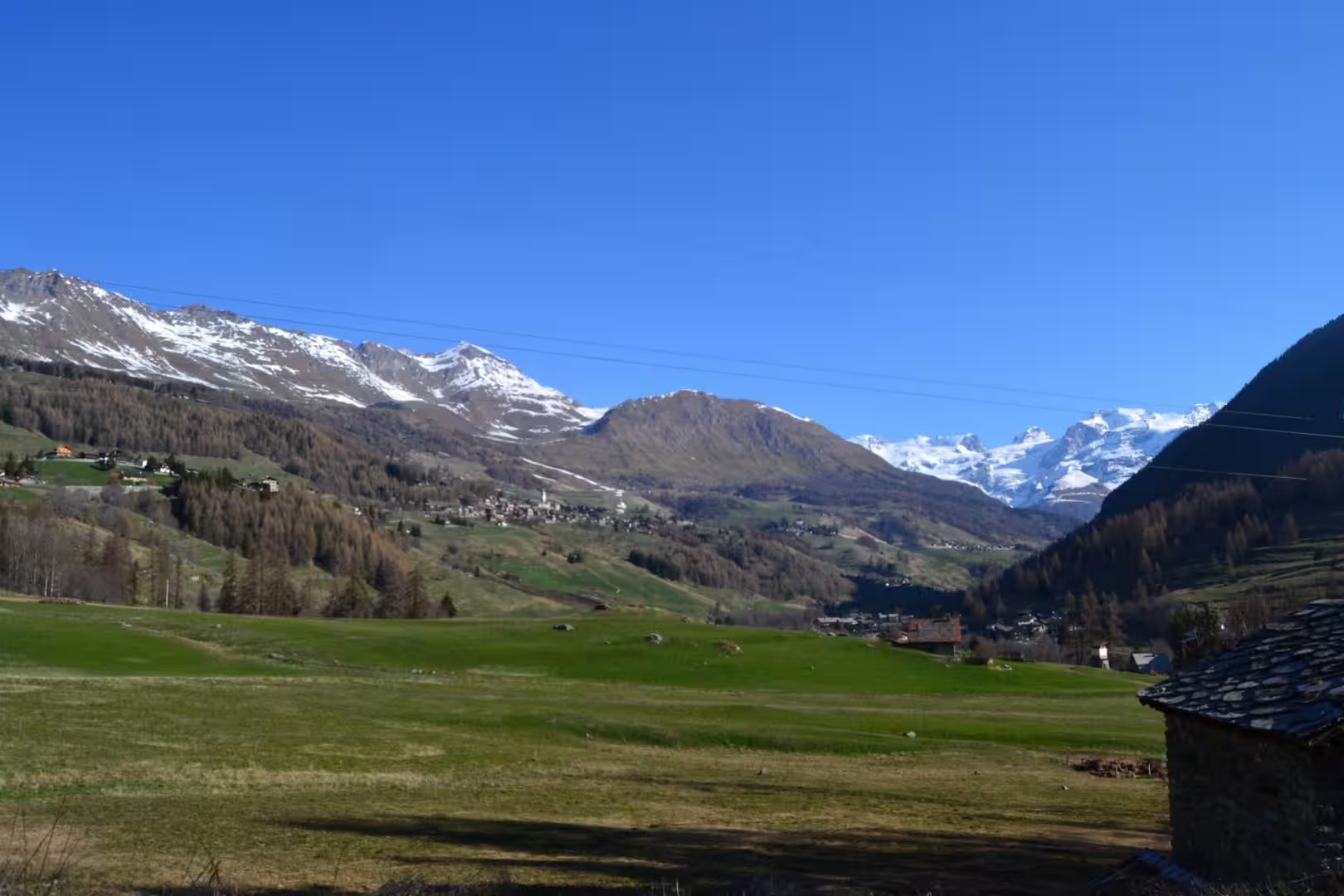
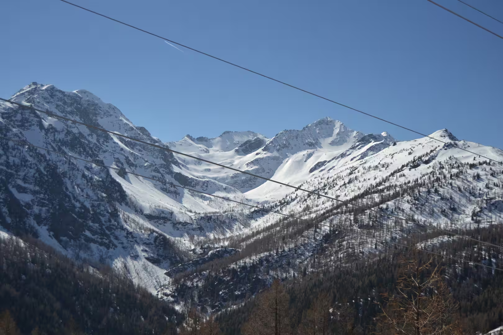
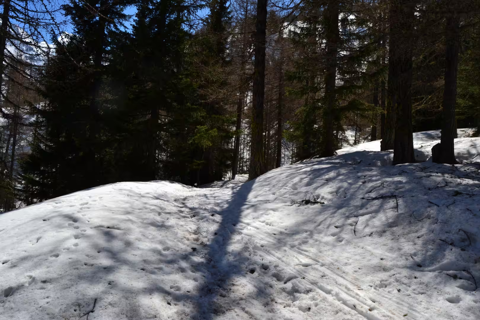
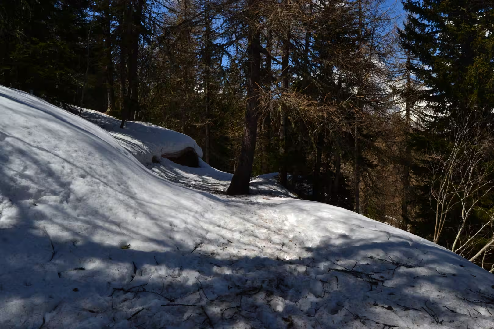
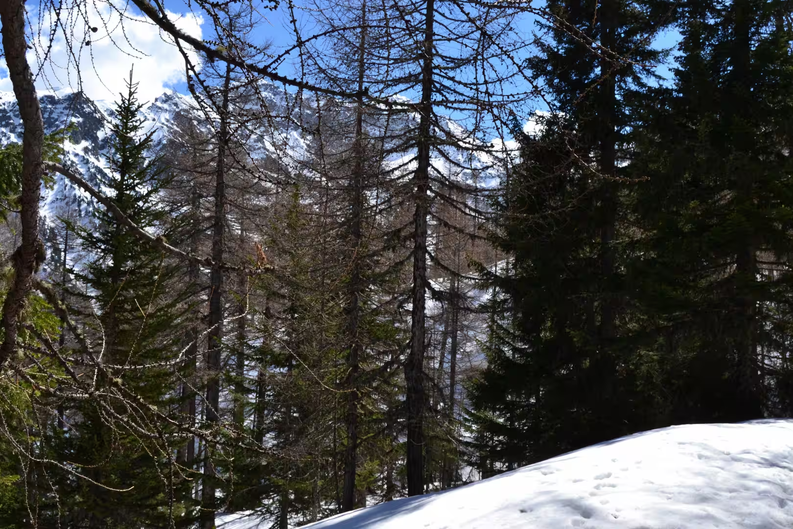
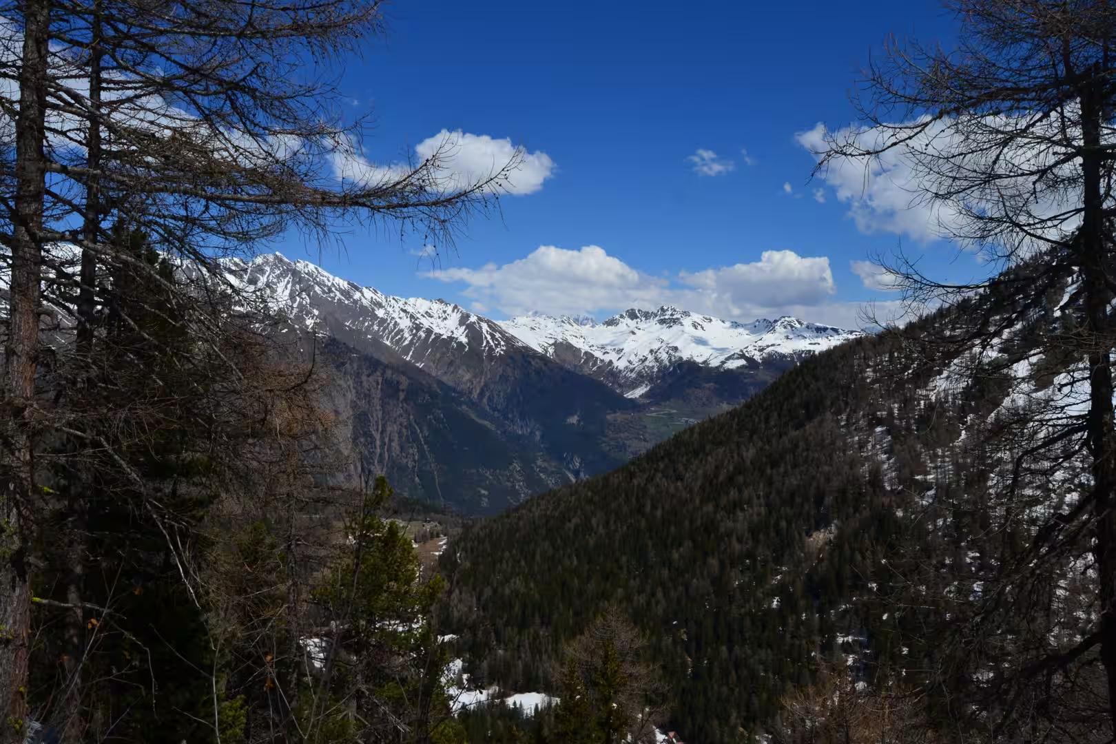
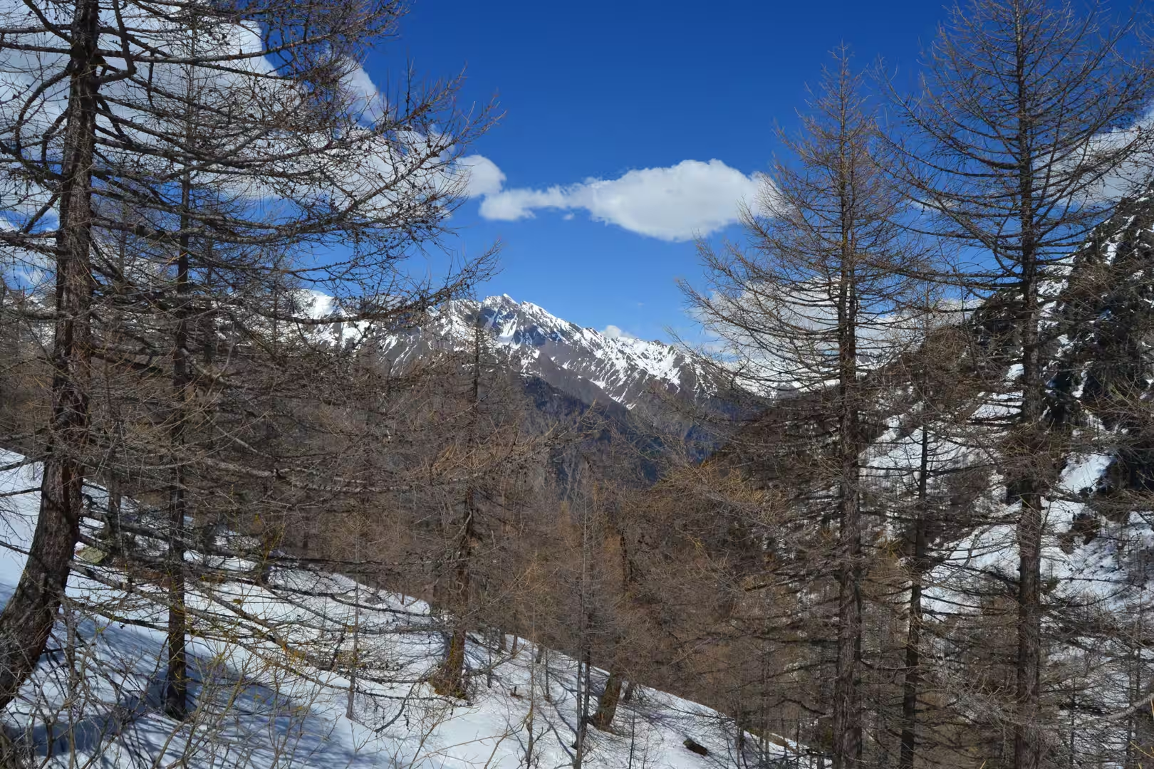
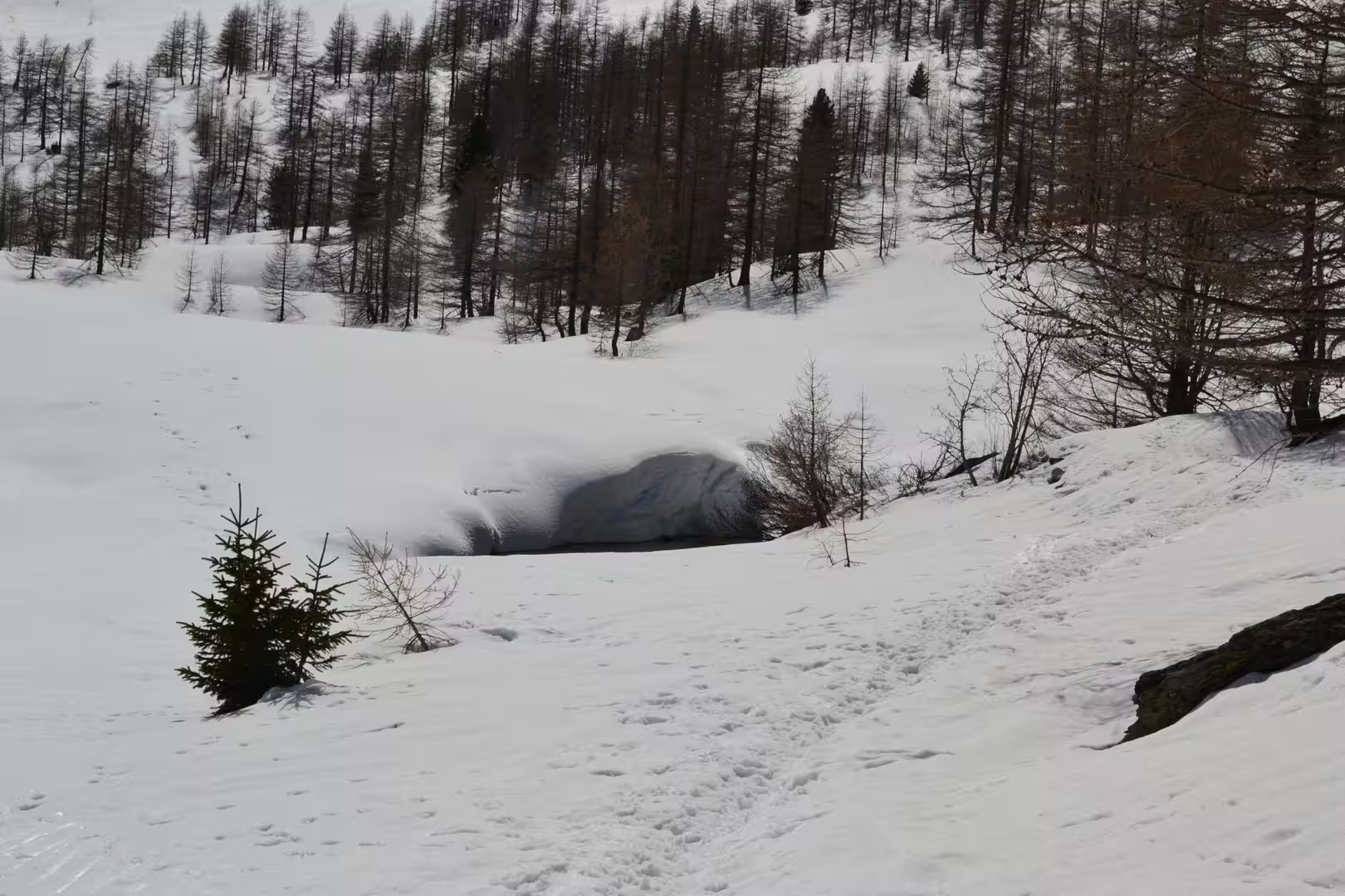
The second day went up. The road from the valley floor climbs through the villages and the forest to a pass at around two thousand metres, and in April the world at the top of that road is still winter: deep snow in the open, larches without leaves, the mountainsides white to the ridge, and a silence that the summer traffic has not yet broken.
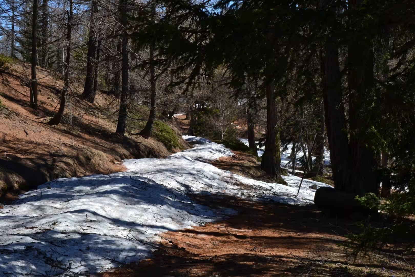
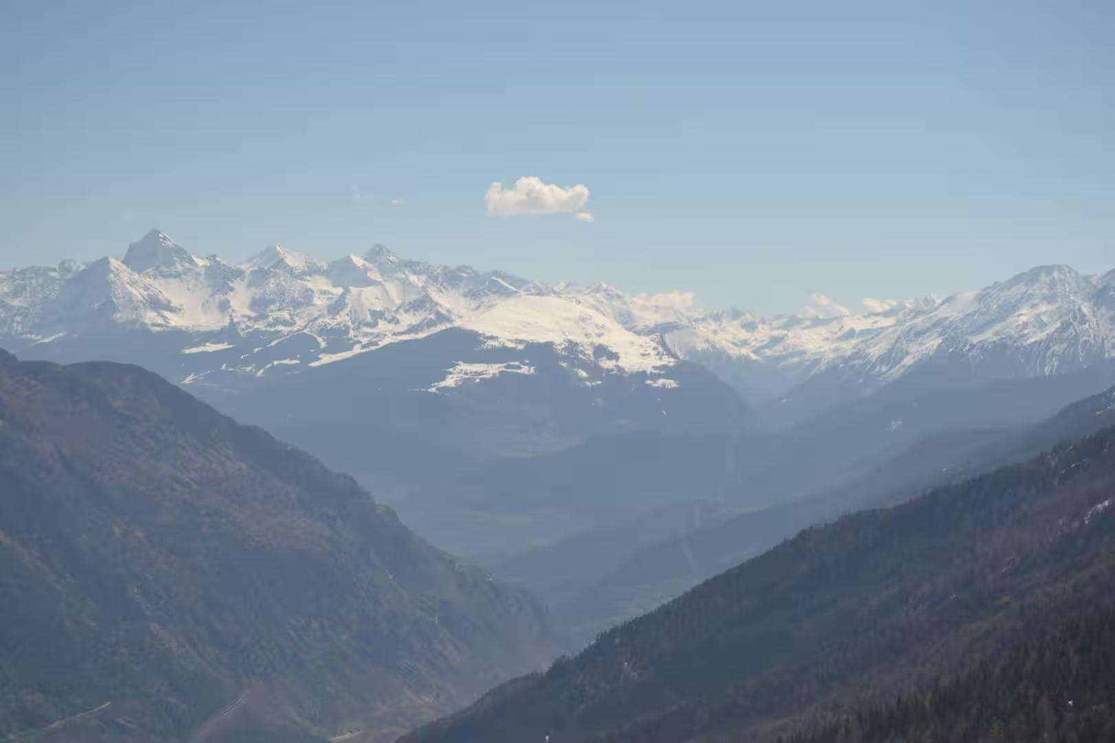
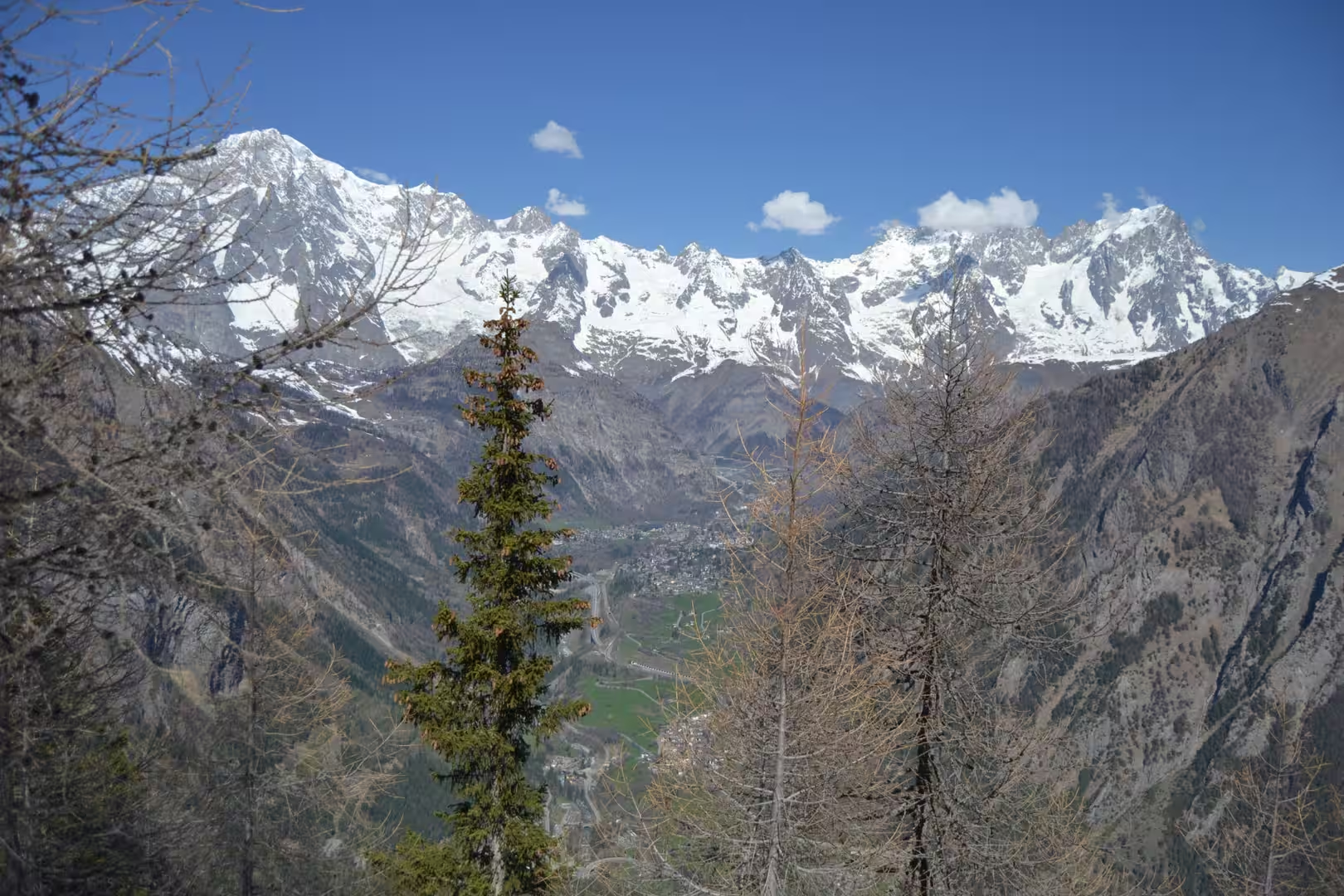
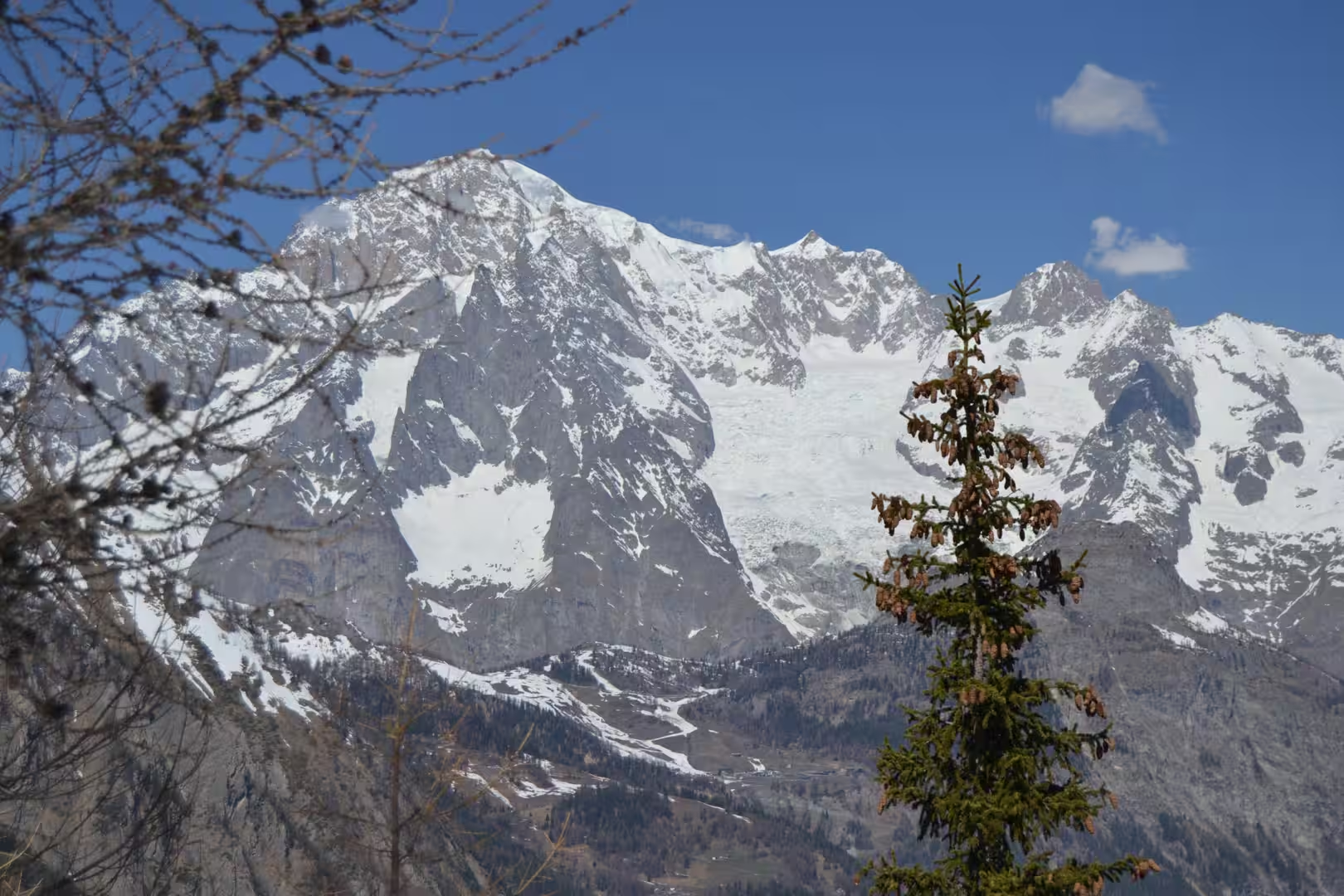
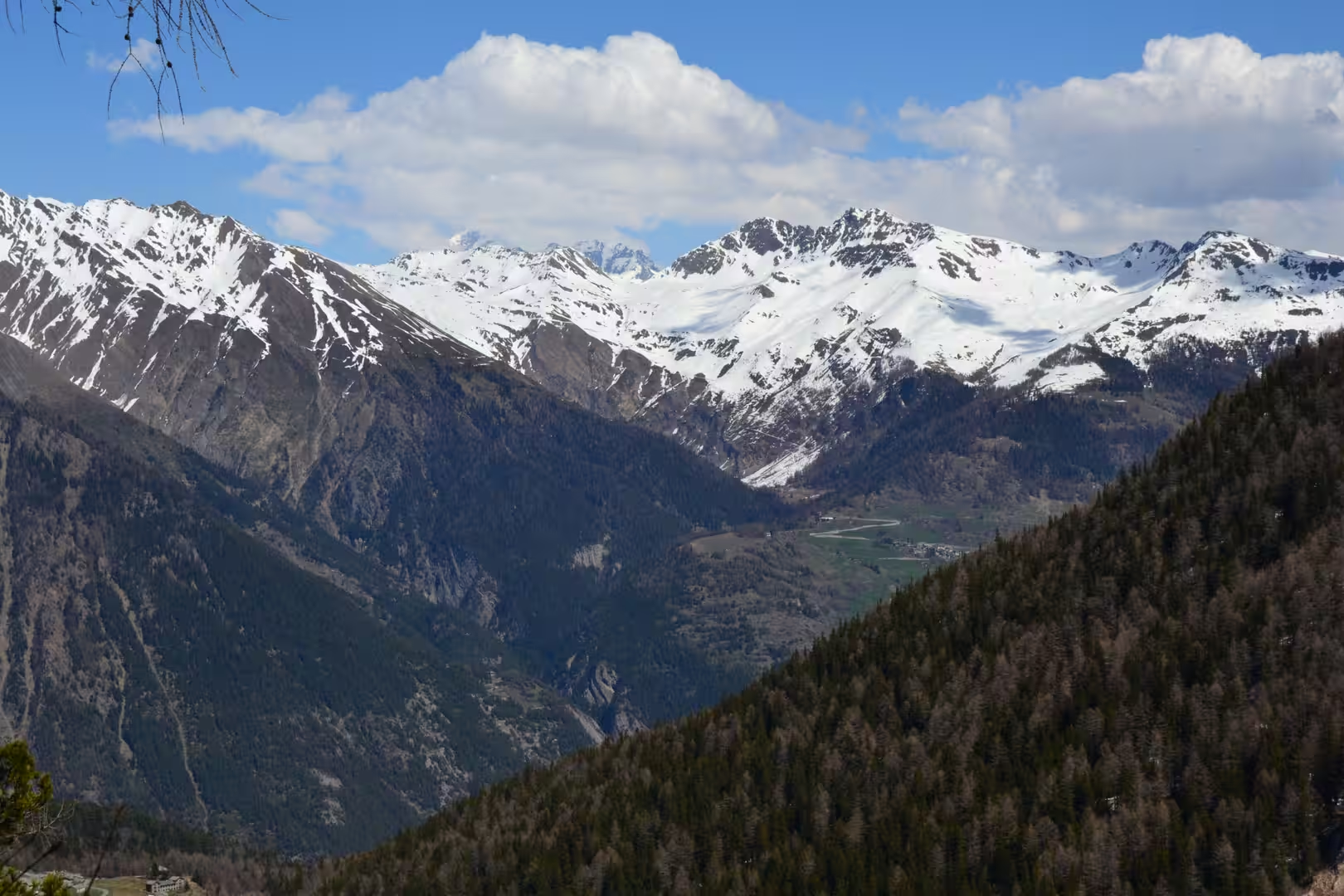
The walk of the day was a snow walk above the pass, following a track that had been beaten into the snow and marked by the poles that the local authorities put out at the end of the winter. The surface was firm in the morning and soft by midday, the trail crossed open slopes and stands of bare larch, and the views opened in every direction: the valley below, the peaks above, and the long wall of the massif that closes the head of the valley.
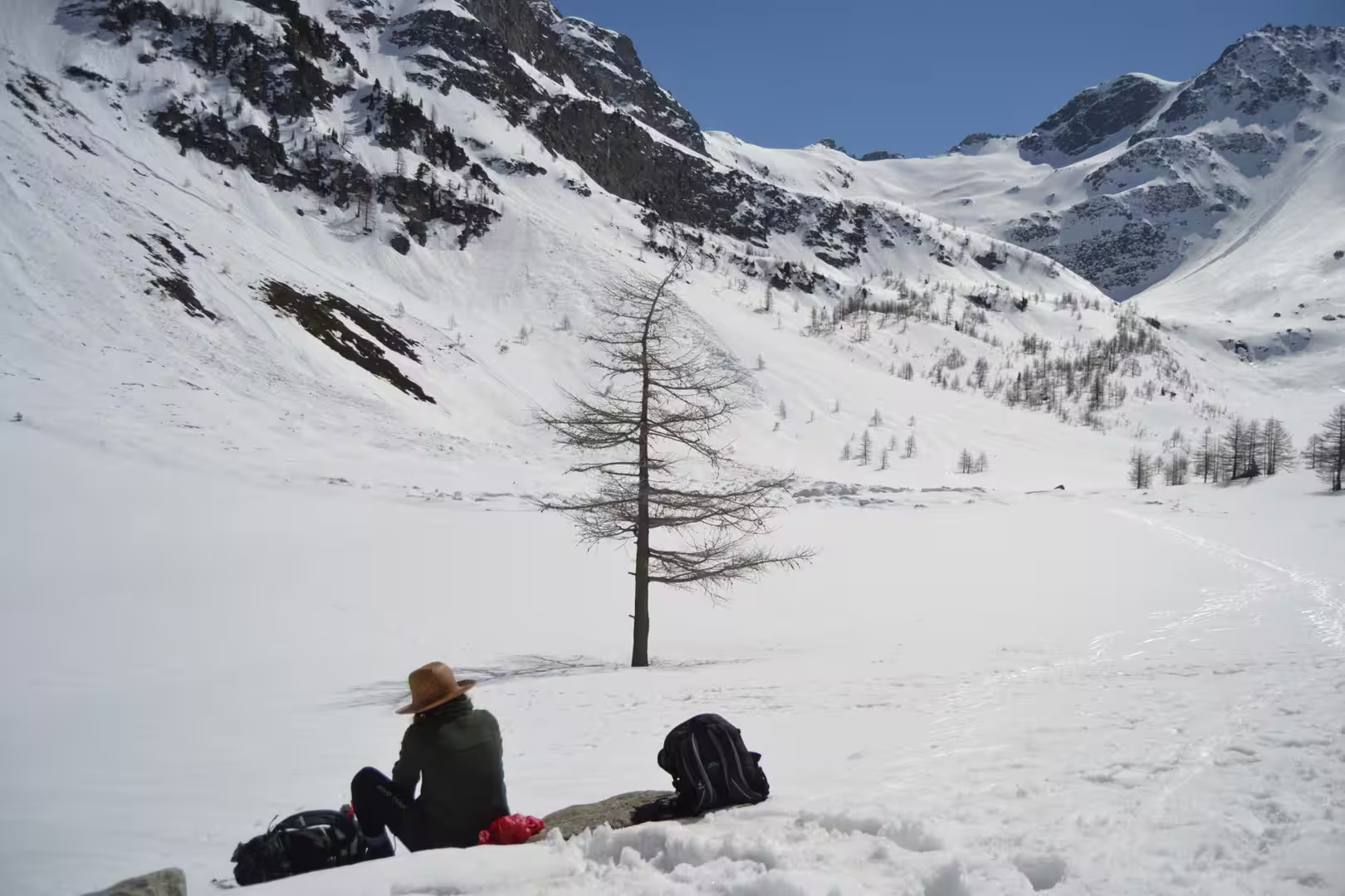
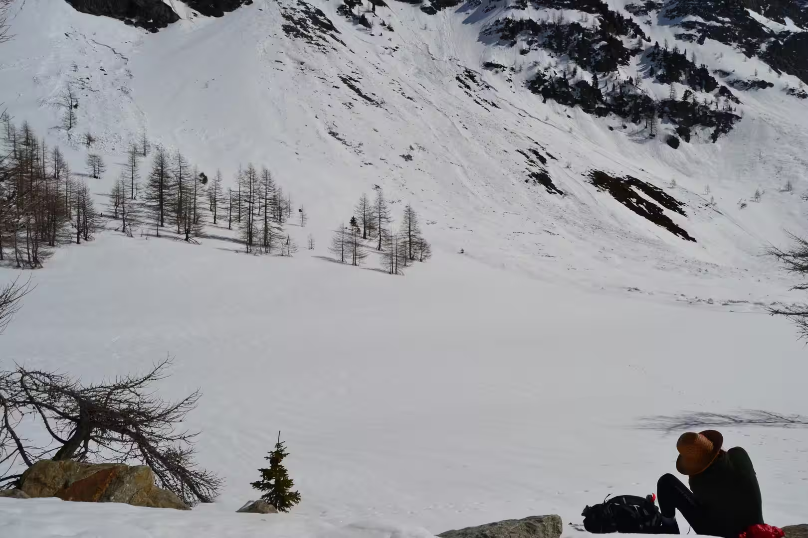
Halfway along the route the signpost gave the destination and the walking time, and the destination was a lake: the Lago d’Arpy, a small basin of water in a glacial hollow, frozen or half melted depending on the year, with larches around it and the snow slopes coming down to its shore. Beyond it the path continued to a refuge, a stone building with a wooden staircase, a stove and a red sofa, where the walkers sat with their boots steaming and the keeper served soup and coffee to anyone who came through the door.
The afternoon was the descent, and the descent took longer than the climb because the snow had softened. Below the pass the road runs back down to the villages, and the last of the light caught the peaks above them with the orange that only comes after a day of melting snow. The evening meal was in a village restaurant where the menu was in two languages and the other tables were occupied by families who had come up from the town for the weekend.
The day began early because the snow is at its best in the morning. The road up to the pass was clear, the parking at the top was almost empty, and the first hour of the walk was made on a surface that carried a person without sinking. By noon the sun had softened the top layer, the track became a series of steps kicked into the slush, and the walkers coming up from below were stopping to adjust their clothing. The difference between the morning and the afternoon on a spring snowfield is the difference between a road and a swamp.
History
The mountain hut that ended the walk belongs to an institution that the Alps invented and the rest of the world copied. The Italian Alpine Club, founded in the middle of the nineteenth century, built and now maintains a network of refuges across the chain, and the huts of the Aosta Valley are among the best used in the country. They provide a bed, a meal and a fireplace to anyone who walks in, they are staffed in the season and often outside it, and the tradition of hospitality in them is older than the sport of mountaineering that created it.
The farming that shape these slopes is much older. The meadows above the villages were cleared and maintained by generations of families who took their cattle up in the summer and brought them down in the autumn, and the terraces, the stone barns and the irrigation channels that cross the slopes are the infrastructure of that transhumance. The practice has declined with the economy of the twentieth century, but it has not disappeared: the herds are still taken up in June, the hay is still cut in the same fields, and the cheese still comes from the same pastures.
The Walser settlements are part of the same landscape and a different history. The settlers who came up from the Valais in the twelfth and thirteenth centuries built their villages at heights that nobody else wanted, with houses of larch and stone that have survived the snow of seven hundred winters, and their language and their building tradition survived with them. Several of their villages are within a day’s walk of the passes of this valley, and the difference between a Walser village and the villages below it is visible in the roofs, the windows and the arrangement of the streets.
The winter tourism of the valley is the newest layer and the one that pays for the rest. The ski areas above the villages operate from December to April, the lifts and the groomed slopes are the reason the hotels stay open, and the same infrastructure is used in summer by walkers and mountain bikers. The transition between the two seasons is the quiet month that the walk was made in, when the lifts are closed, the snow is still deep and the mountains belong to the people who live there.
The pass above the villages has been a crossing point for as long as the valley has been inhabited. The tracks that meet at it connect the Italian side with the French valleys to the west, they were used by smugglers and by traders when the roads below were closed, and the old custom posts and the ruins of the mule tracks are still visible beside the modern road. In the nineteenth century the traffic moved to the tunnels and the railways, and the passes became what they are now: places for walkers, for the views and for the memory of how difficult travel used to be.
Geology
The lake above the pass is a product of the ice. During the last glacial period the valley was filled by a glacier that flowed down from the higher basins, and when it retreated it left behind the moraines, the hollows and the rock basins that hold the small lakes of the Alps. The lake at Arpy sits in one of those hollows, fed by the melting snow above it and drained by a stream that joins the river of the main valley, and its level rises and falls with the season.
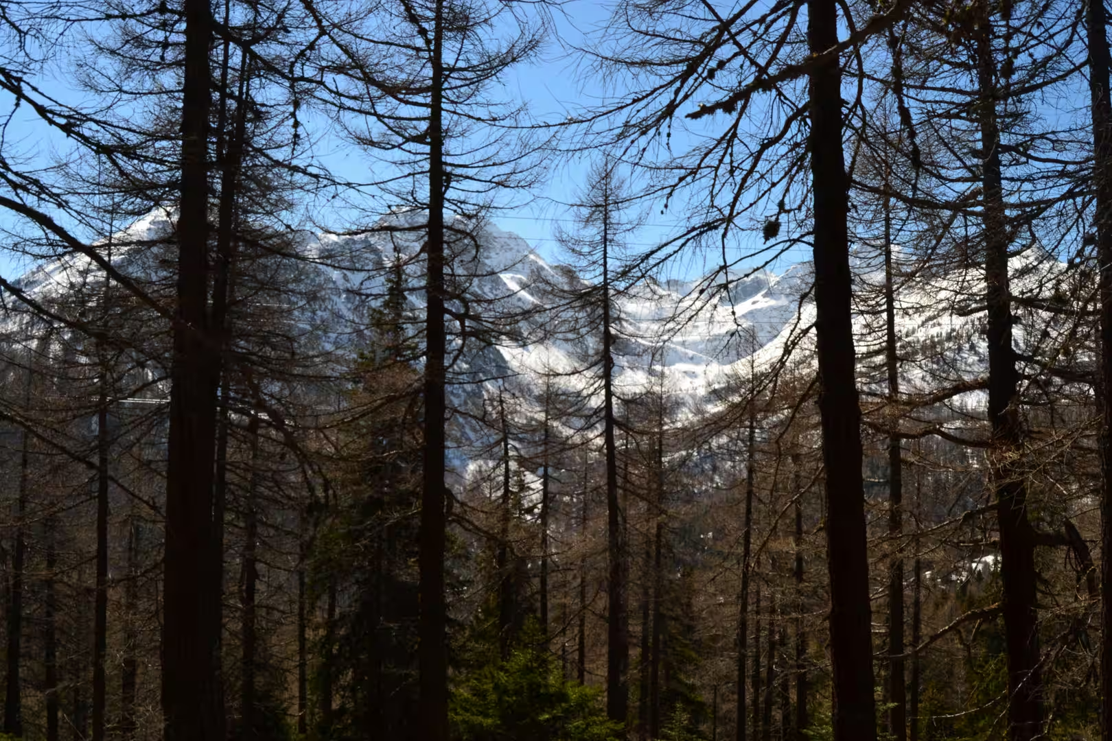
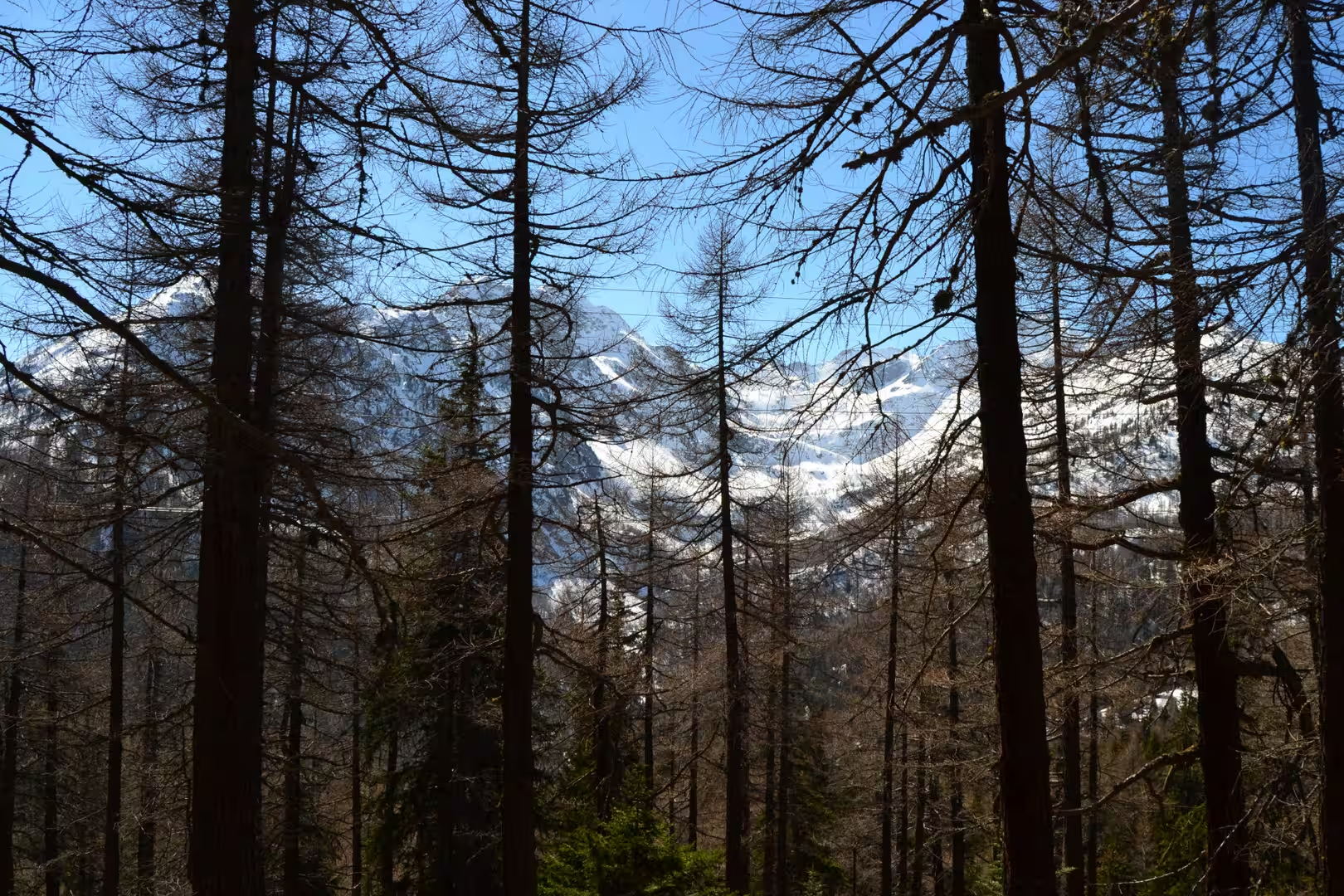
The larches around it are the tree that defines the upper forest here. The European larch is the only deciduous conifer of the Alps, it loses its needles in winter and grows them again in spring, and its ability to survive the cold and the snow load makes it the tree of the treeline. In April the stands above the pass are still bare, the grey trunks standing out against the snow, and the first green of the new needles appears only at the end of the month.
The snow itself is a geological agent as well as a seasonal inconvenience. The weight of the winter snow presses on the slopes, the meltwater works its way down through it and refreezes at night, and the result is the movement of the whole snowpack down the mountain. Where the slope is steep, that movement becomes an avalanche, and the avalanche paths are visible in the forest as strips of broken and younger trees. The spring walker who sees those strips is looking at a map of the winter.
Above the snowline the rock of the massif is bare and split by the frost. Water freezes in the joints of the limestone and the schist, the ice expands, and the fragments that come away travel down the slopes as scree and as the debris flows that follow the summer storms. The cones of loose rock at the foot of every face are the result, and they are also the reason the vegetation of the high slopes is arranged in bands: grass where the ground is stable, cushions where it is thin, and bare stone where nothing has had time to take hold.
The rock of this part of the massif tells a different story from the granite of Mont Blanc. The slopes above the pass are built of schists and limestones that were once the sediments of an ocean floor, scraped off the advancing continent and stacked into the pile of sheets that makes up the chain. They are softer than the granite, they weather into the rounded forms and the green slopes that make the walking here gentler than the mountaineering on the massif, and they hold the water that the springs and the small lakes are fed from.
Things to See
The walk to the lake and the refuge is the classic outing of this side of the valley and can be done by anyone with boots and warm clothing. The track is marked, the poles put out by the authorities show the route when the snow has covered the path, and the times on the signposts are the times of an average walker in summer conditions: in April the snow adds an hour to every estimate, and the daylight is shorter than the calendar suggests.
What to carry is the usual mountain list with the winter added to it. Boots that keep the water out, gaiters for the snow, poles for the descent, sunglasses for the glare off the white, and a jacket that will take a wind that comes up without warning. A map of the region is worth more than the telephone, because the coverage above the villages is unreliable, and the local tourist office will mark the state of the paths on it if asked.
The refuge at the end of the walk is the place to eat and to warm up, and it is worth planning the day around it rather than treating it as a convenience. The food is mountain food: soup, polenta, cheese, cured meat and a cake that has been made that morning, and the coffee is taken standing at the bar with the other walkers. The terrace faces the peaks, the woodpile is stacked against the wall, and the building has been doing this for a century and a half.
The villages below the walk are worth the hour they take to see. Each has a church with a stone tower, a fountain, a small shop and the larch and stone houses of the alpine tradition, and the older ones have painted chapels and carved doors that repay a slow look. The bus back to the town of Aosta runs from the main village in the afternoon, and the last part of the day can be spent in the town, which has warmer streets, better coffee and a cathedral that is worth an hour of anybody’s time.
The day can be shortened or lengthened at will. A family with small children can turn back at the signpost and still have the view; a strong walker can continue past the lake to the higher pass and the ridge beyond it. The rule in the spring is the same one that applies in winter: the mountain is bigger than the plan, the weather changes in the afternoon, and the decision to turn around should be made while the going is still good rather than when the legs have already given their answer.
References
- Wikipedia contributors (2026). Aosta Valley. en.wikipedia.org/wiki/Aosta%20Valley
- Wikipedia contributors (2026). Aosta. en.wikipedia.org/wiki/Aosta
- Wikipedia contributors (2026). Gran Paradiso. en.wikipedia.org/wiki/Gran%20Paradiso
- Wikipedia contributors (2026). Gran Paradiso National Park. en.wikipedia.org/wiki/Gran%20Paradiso%20National%20Park
- Wikipedia contributors (2026). Cogne. en.wikipedia.org/wiki/Cogne
- Wikipedia contributors (2026). Valgrisenche. en.wikipedia.org/wiki/Valgrisenche
- Wikipedia contributors (2026). Valpelline. en.wikipedia.org/wiki/Valpelline
- Wikipedia contributors (2026). Place Moulin Dam. en.wikipedia.org/wiki/Place%20Moulin%20Dam
- Wikipedia contributors (2026). Walser. en.wikipedia.org/wiki/Walser
- Wikipedia contributors (2026). Alps. en.wikipedia.org/wiki/Alps
- Wikipedia contributors (2026). Glacier. en.wikipedia.org/wiki/Glacier
- Wikipedia contributors (2026). Matterhorn. en.wikipedia.org/wiki/Matterhorn
- Wikipedia contributors (2026). Breuil-Cervinia. en.wikipedia.org/wiki/Breuil-Cervinia
- Wikipedia contributors (2026). Great St Bernard Pass. en.wikipedia.org/wiki/Great%20St%20Bernard%20Pass
- (ohne Angabe) (1970) Alpine Ibex near Gran Paradiso (4,061 m) in Italian Alps (Photo by Ariberto Segàla). Arctic and Alpine Research. 2. doi.org/10.1080/00040851.1970.12003564
- Parrini F., Grignolio S., Luccarini S., Bassano B., et al. (2003) Spatial behaviour of adult male Alpine ibexCapra ibex ibex in the Gran Paradiso National Park, Italy. Acta Theriologica. 48. 411-423. doi.org/10.1007/bf03194179
- Barla G., Antolini F., Barla M., Mensi E., et al. (2010) Monitoring of the Beauregard landslide (Aosta Valley, Italy) using advanced and conventional techniques. Engineering Geology. 116. 218-235. doi.org/10.1016/j.enggeo.2010.09.004
- Schaltegger U., Gebauer D., von Quadt A. (2002) The mafic-ultramafic rock association of Loderio-Biasca (lower Pennine nappes, Ticino, Switzerland): Cambrian oceanic magmatism and its bearing on early Paleozoic paleogeography. Chemical Geology. 186. 265-279. doi.org/10.1016/s0009-2541(02)00005-0