Day 4 - Cinque Terre





























Journal Notes
General
The fourth day was the walking day, and in the Cinque Terre that means the coastal path. The route between the villages is a chain of steps, terraces and mule tracks that has been in use for as long as the villages have existed, and walking it is the only way to understand how the five communities managed to live on a coast where nothing is level and very little is flat enough to plough.
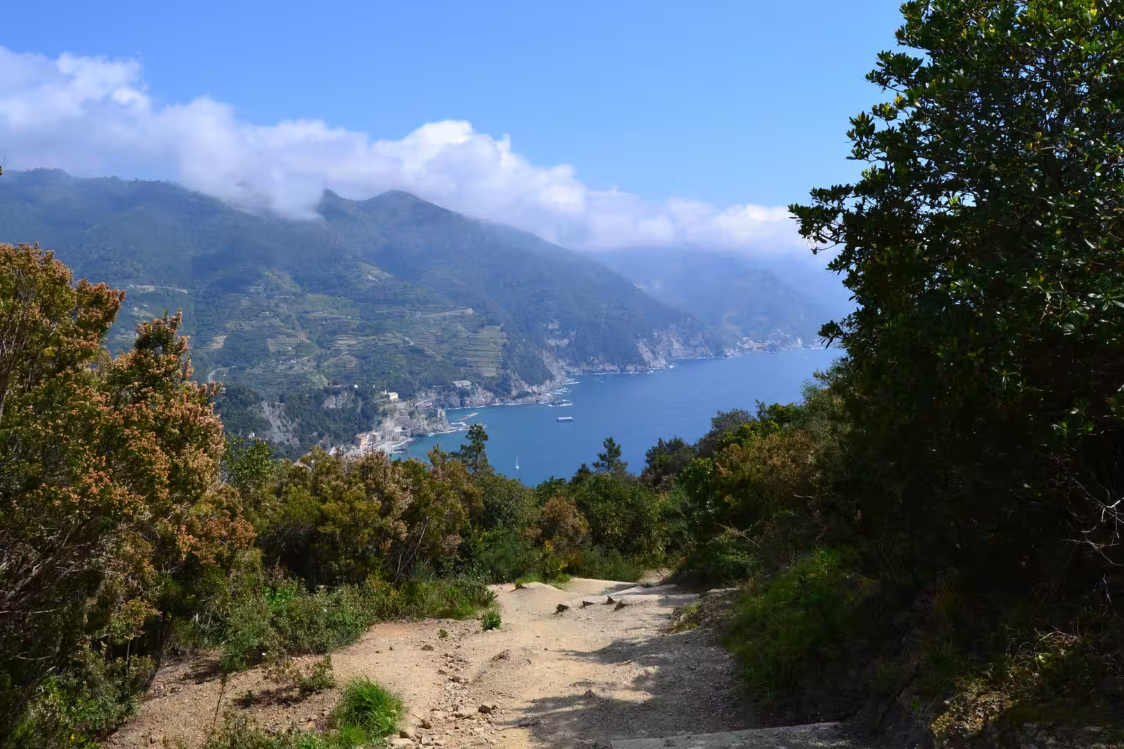
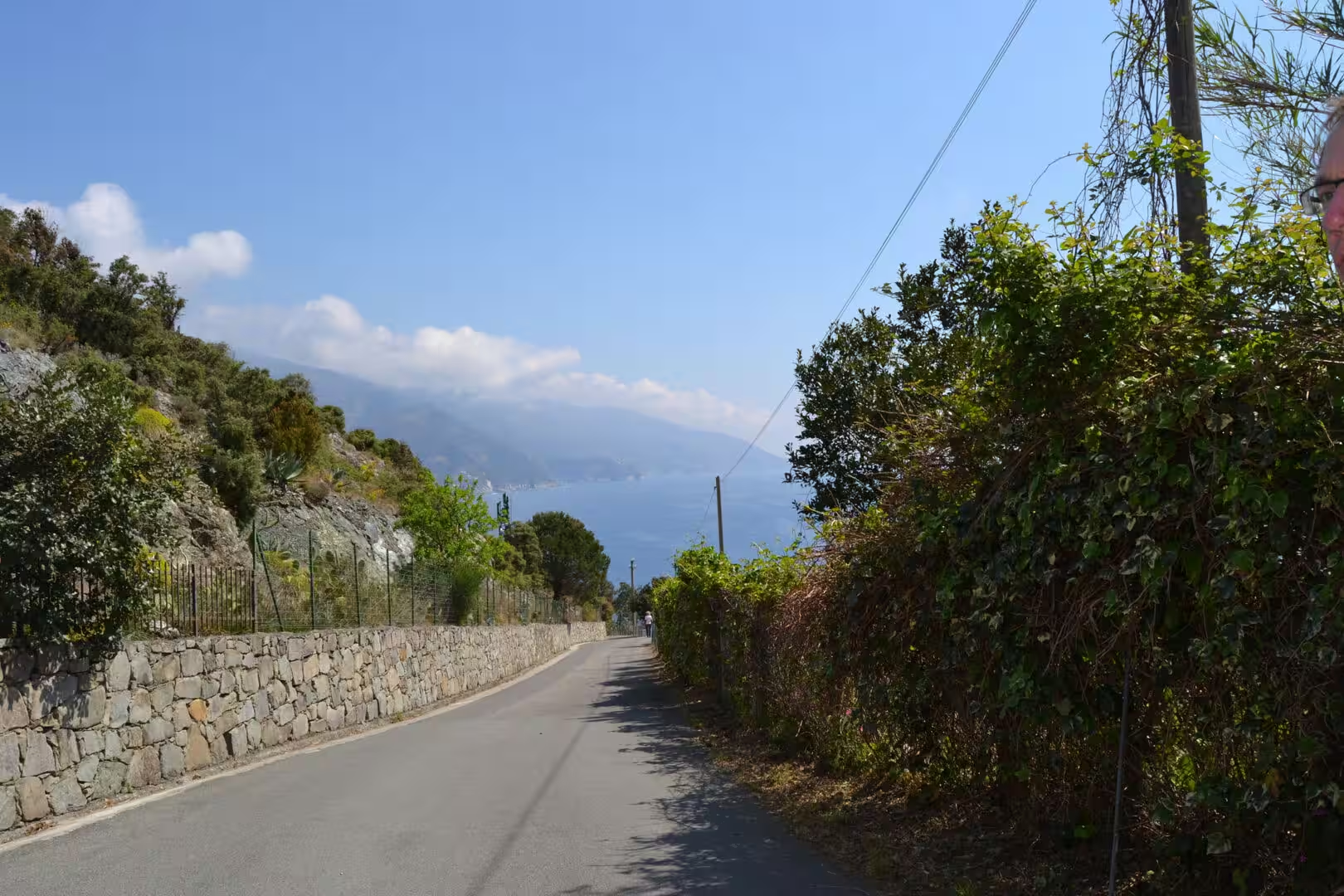
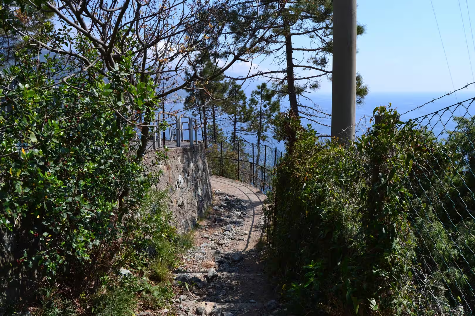
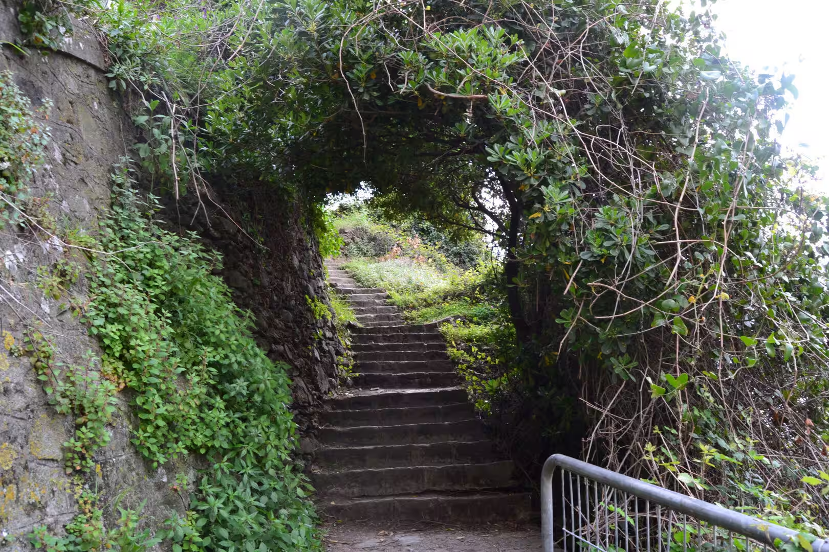
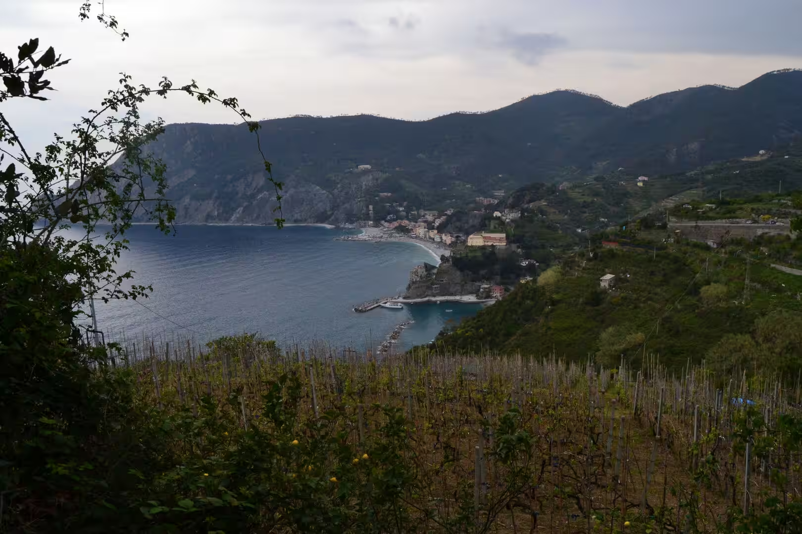
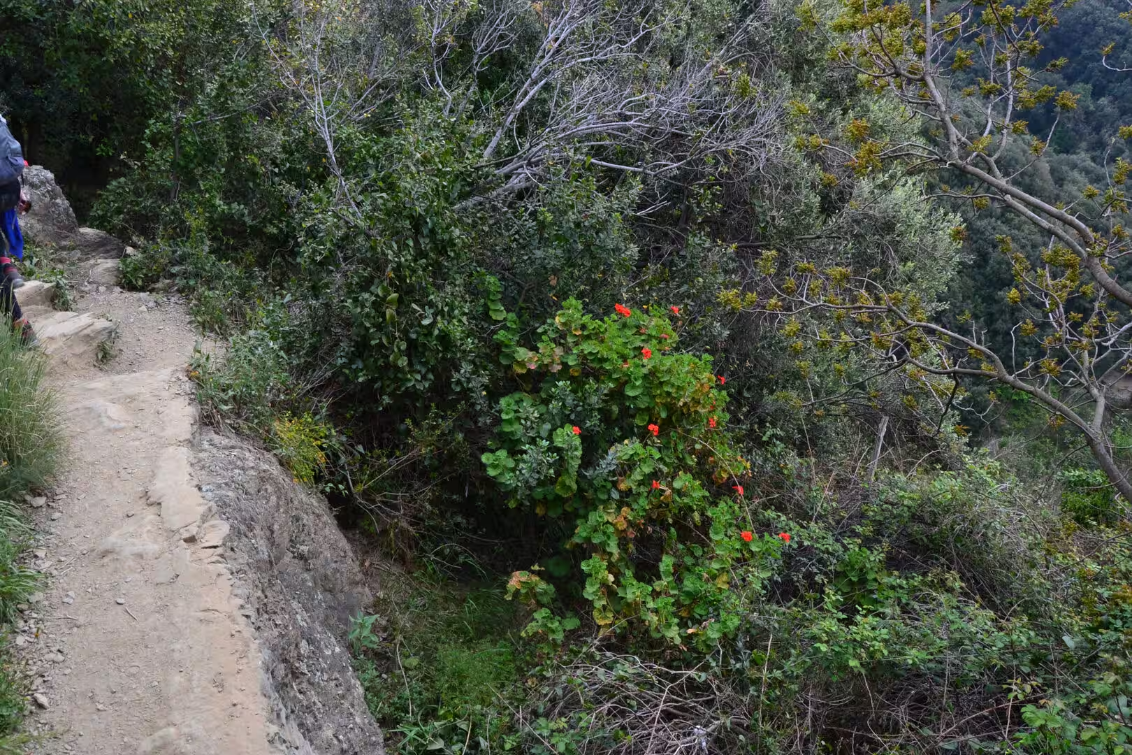
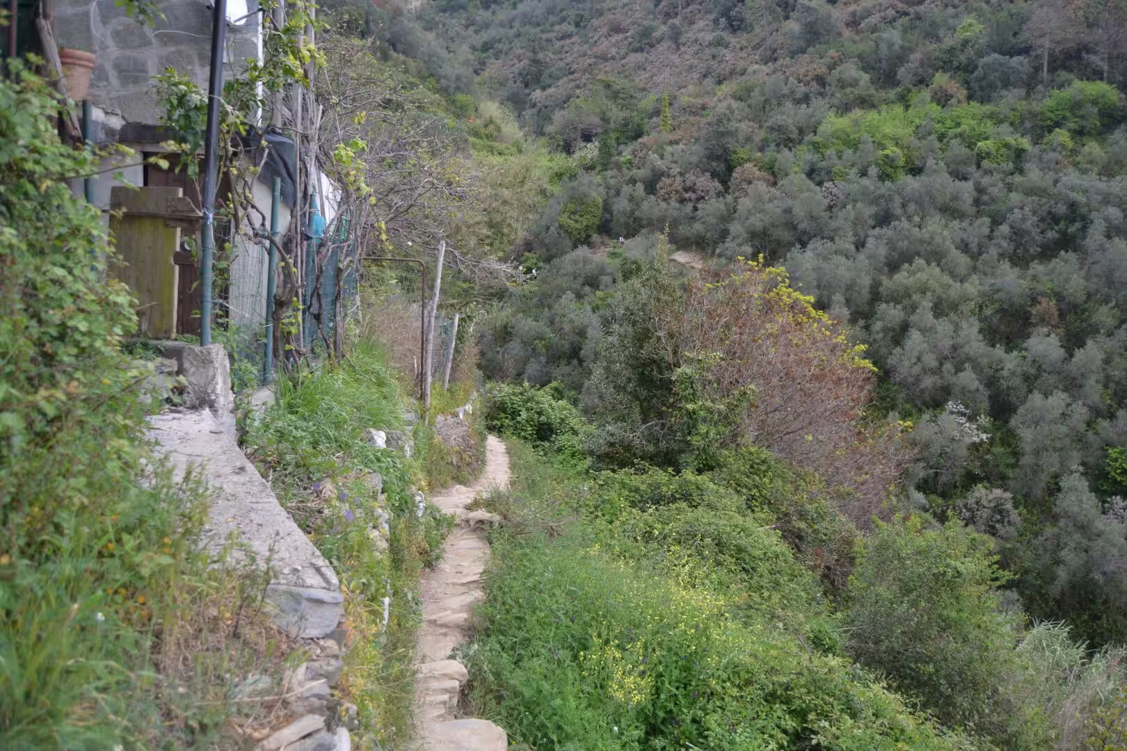
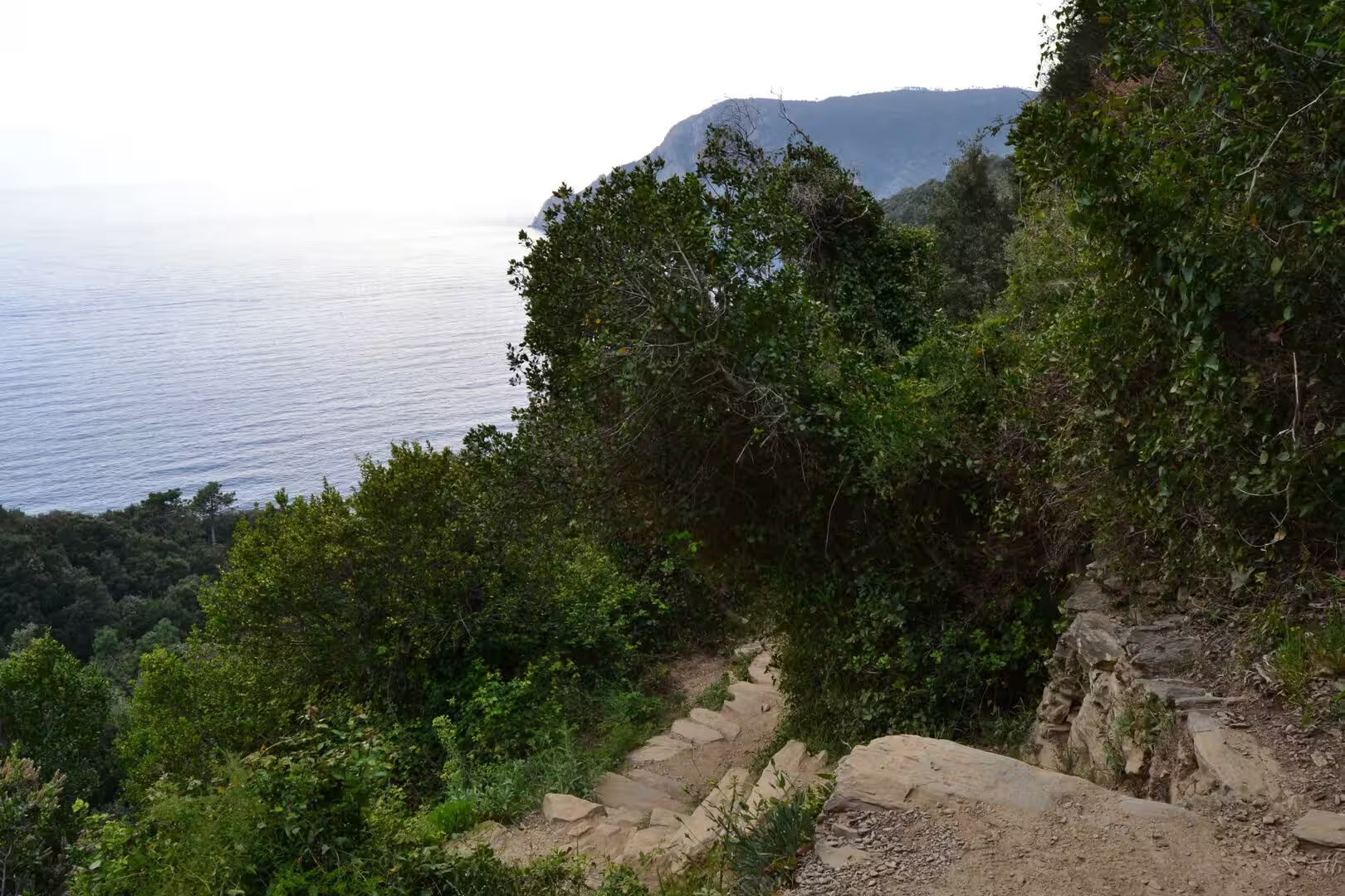
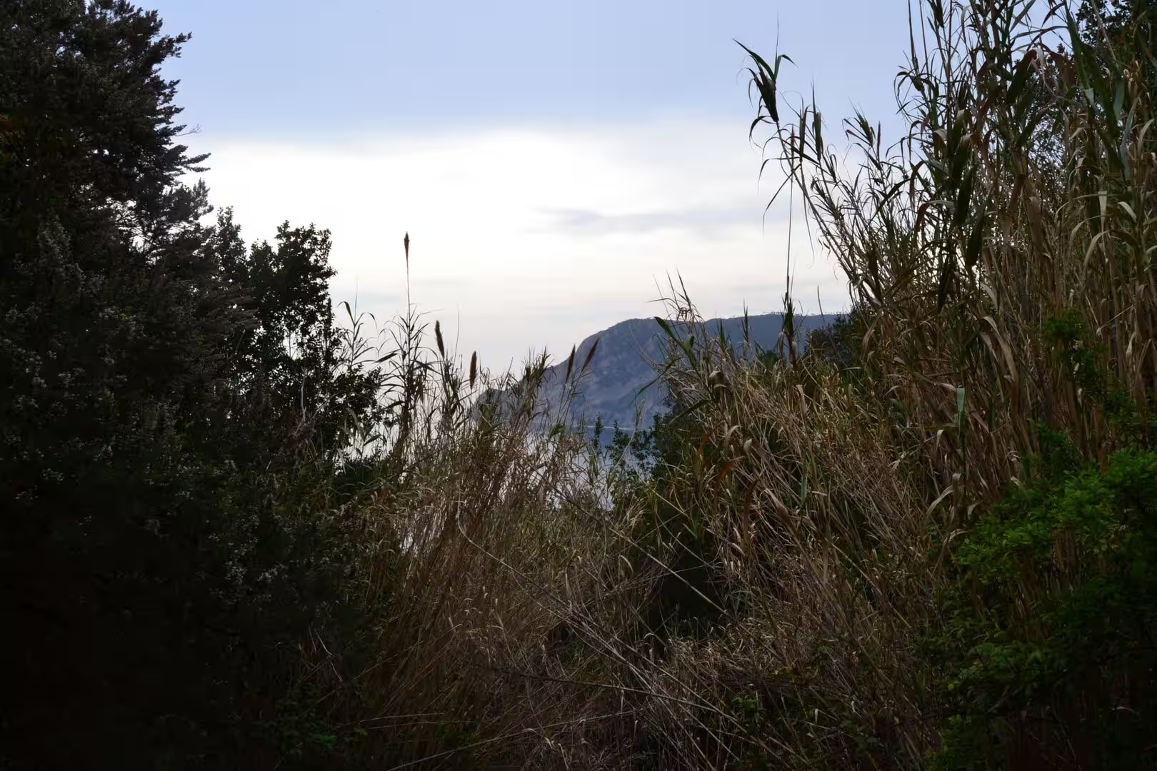
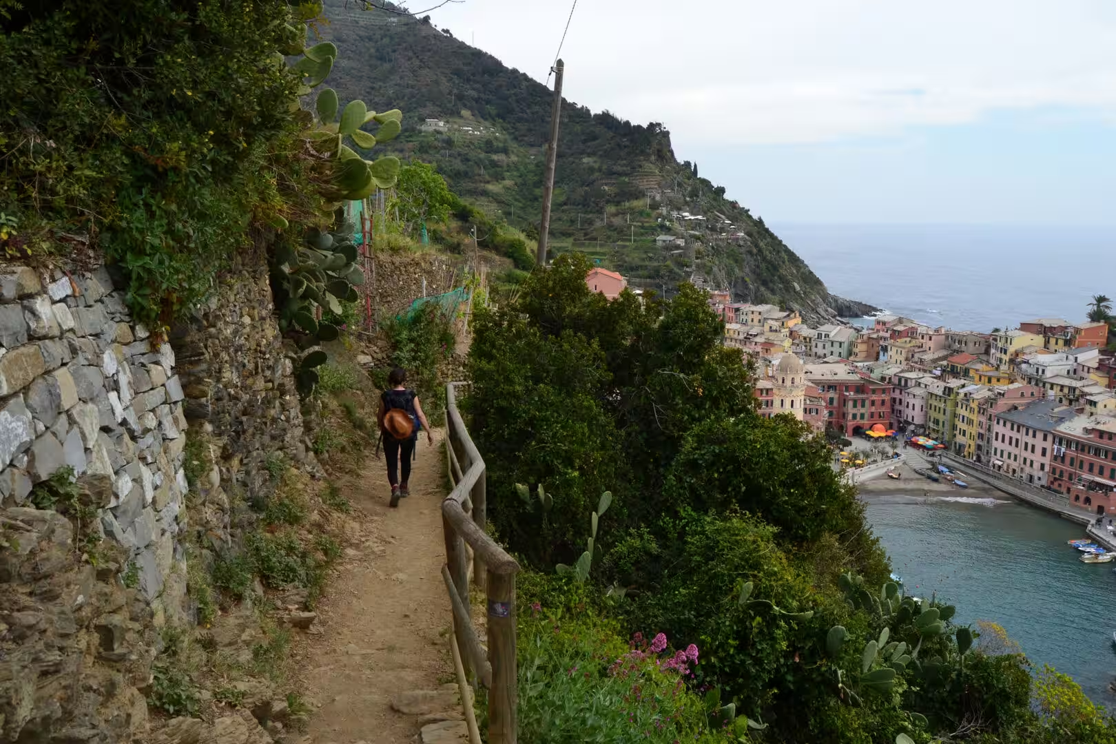
The morning began in the first village and climbed immediately. The path leaves the houses, enters the vineyard terraces, and then follows the contour of the hills for a kilometre or two at a time before dropping into the next village. The surface is stone, the steps are irregular, and the walls of dry stone that hold the terraces are on one side of the path for most of the way, with the sea on the other.
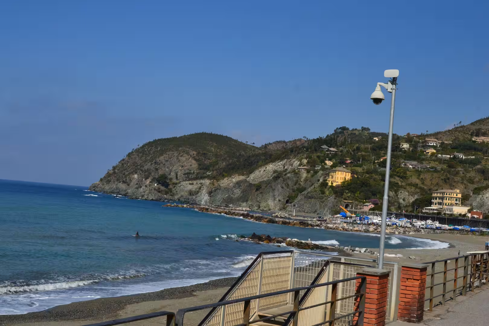
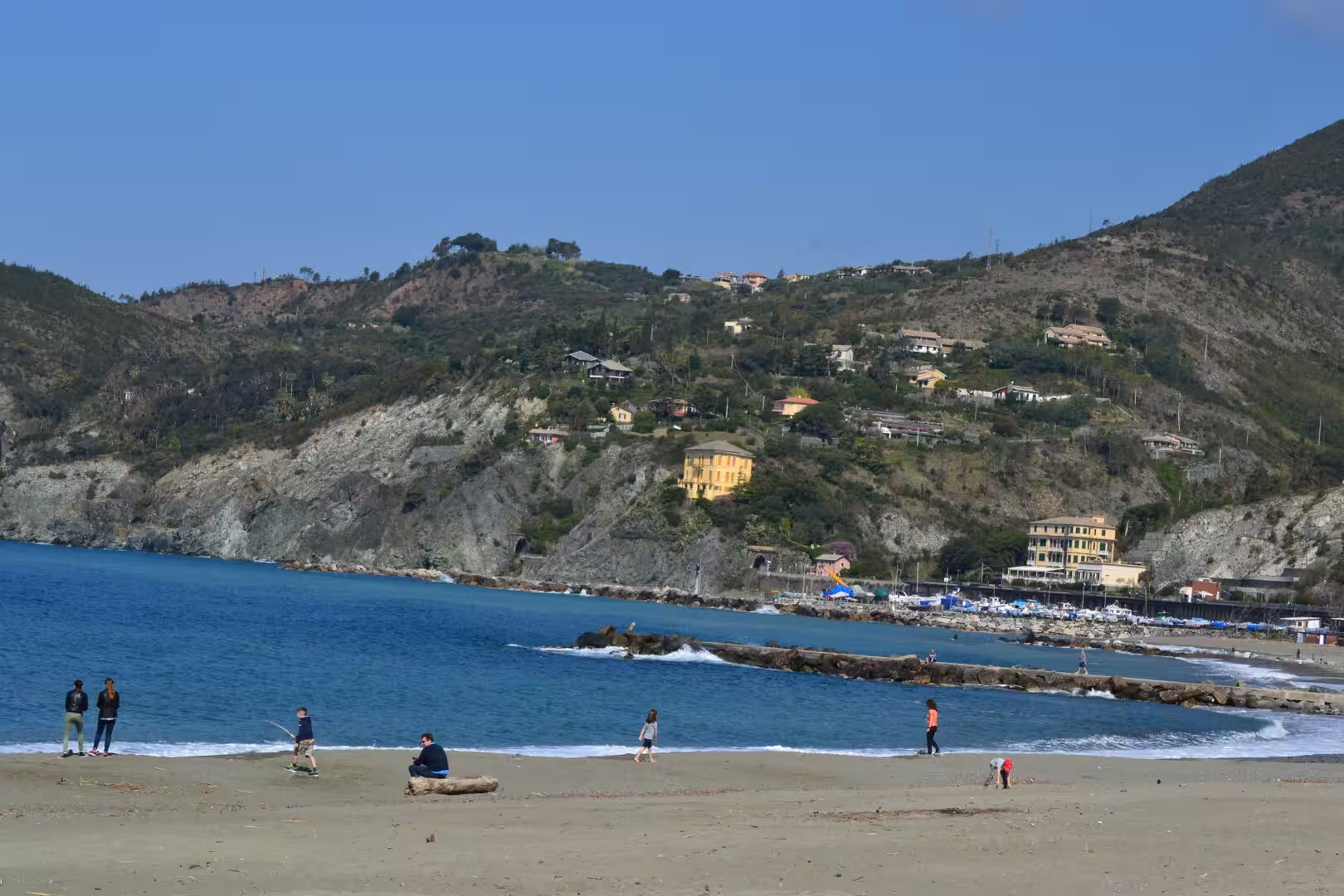
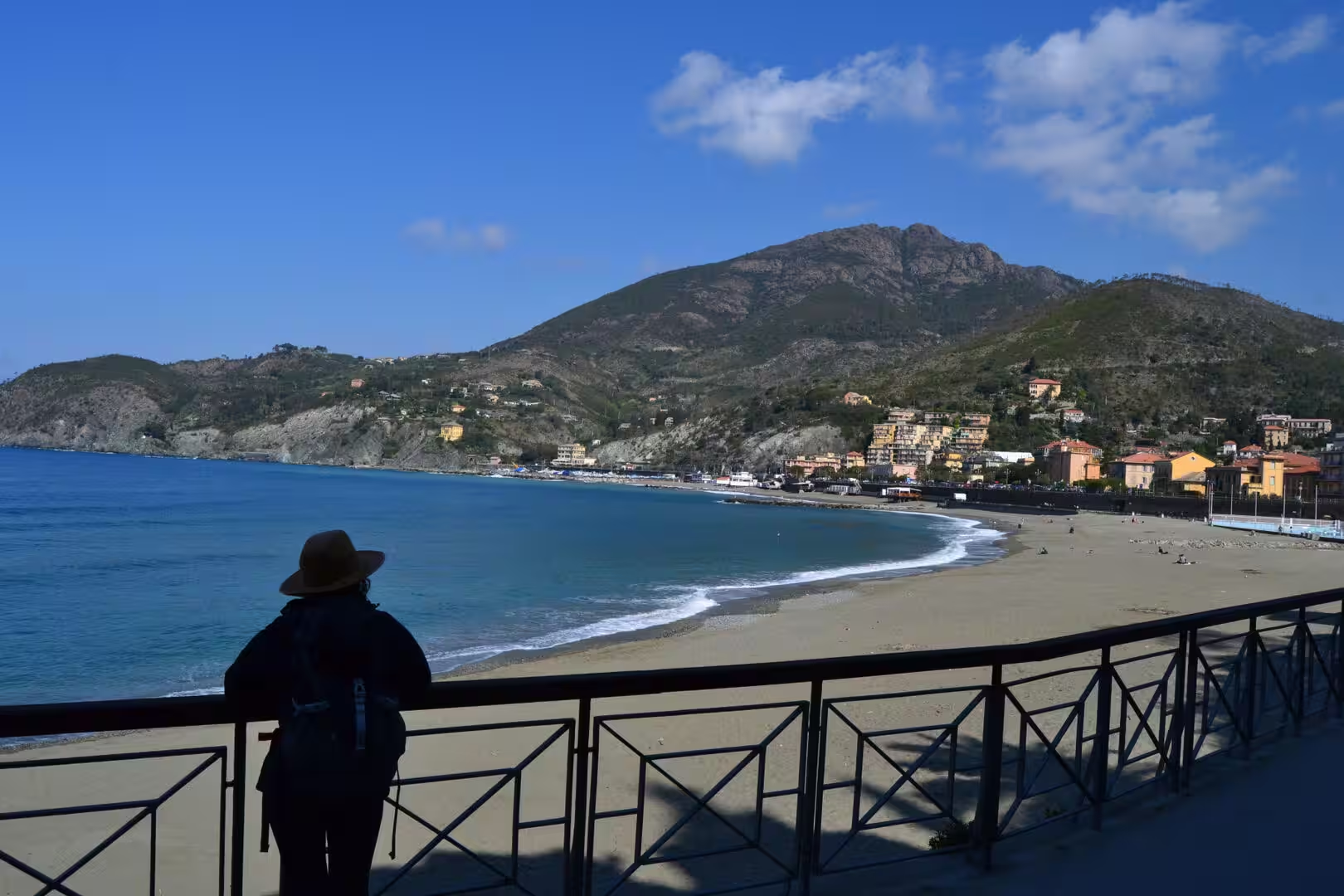
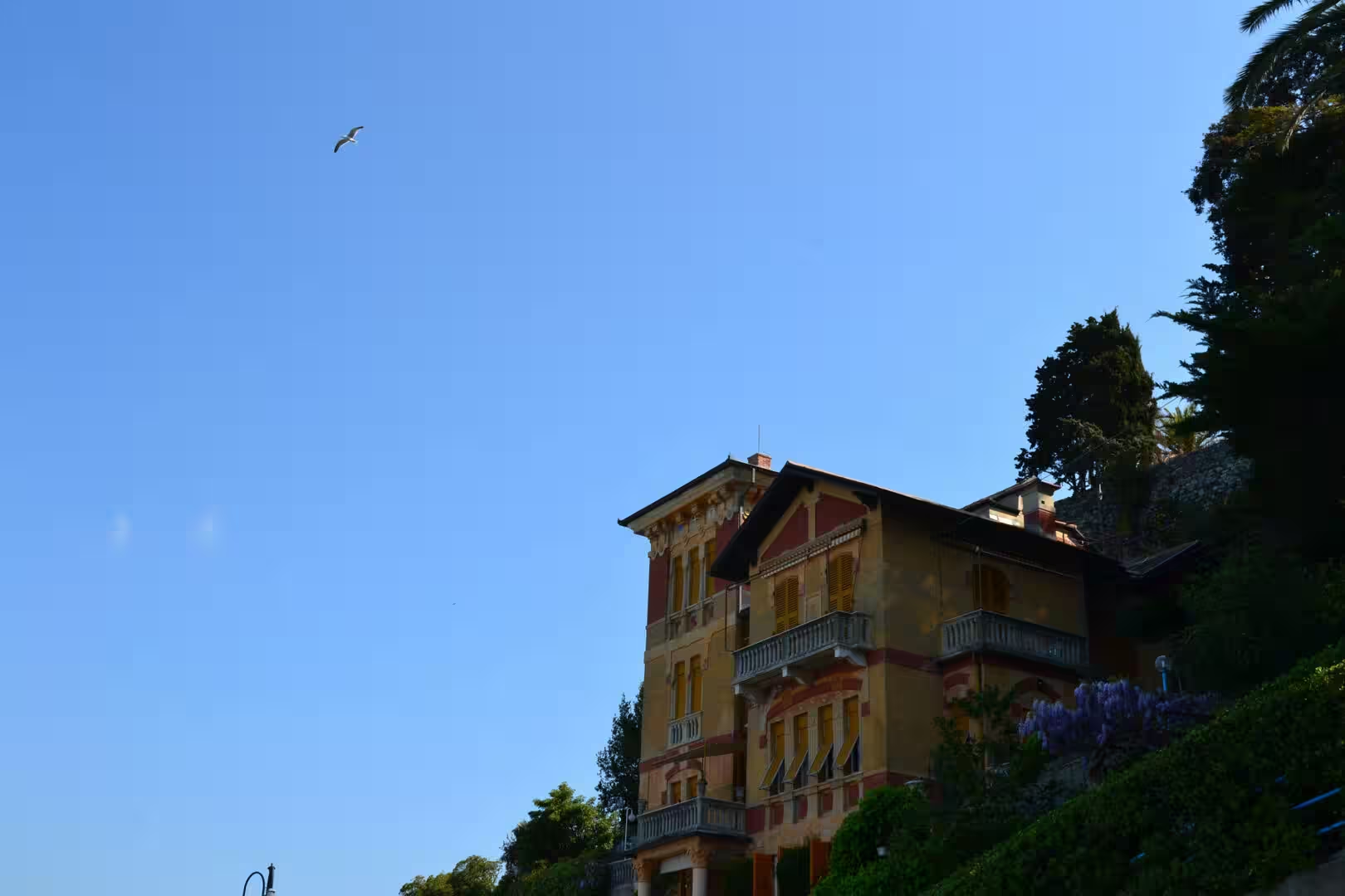
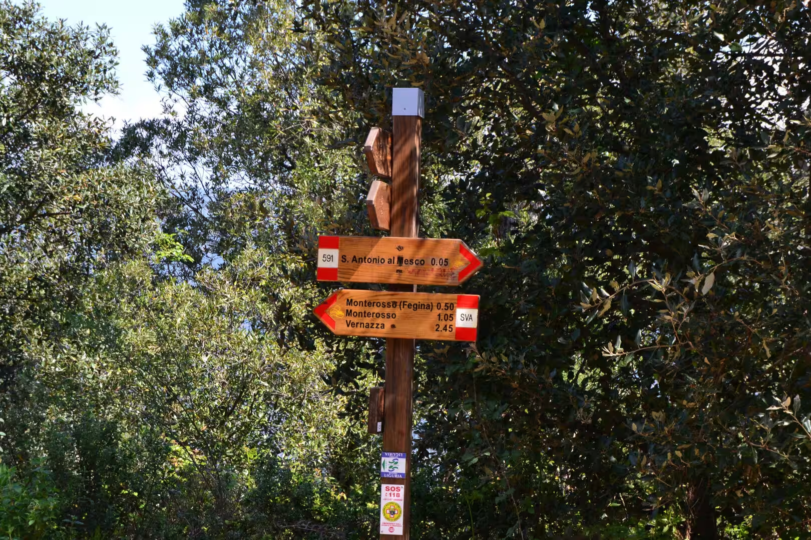
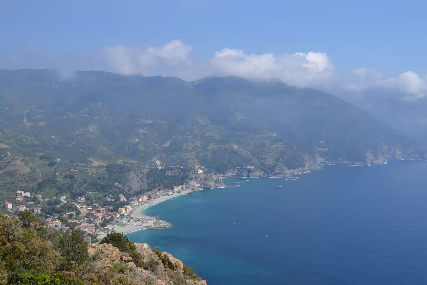
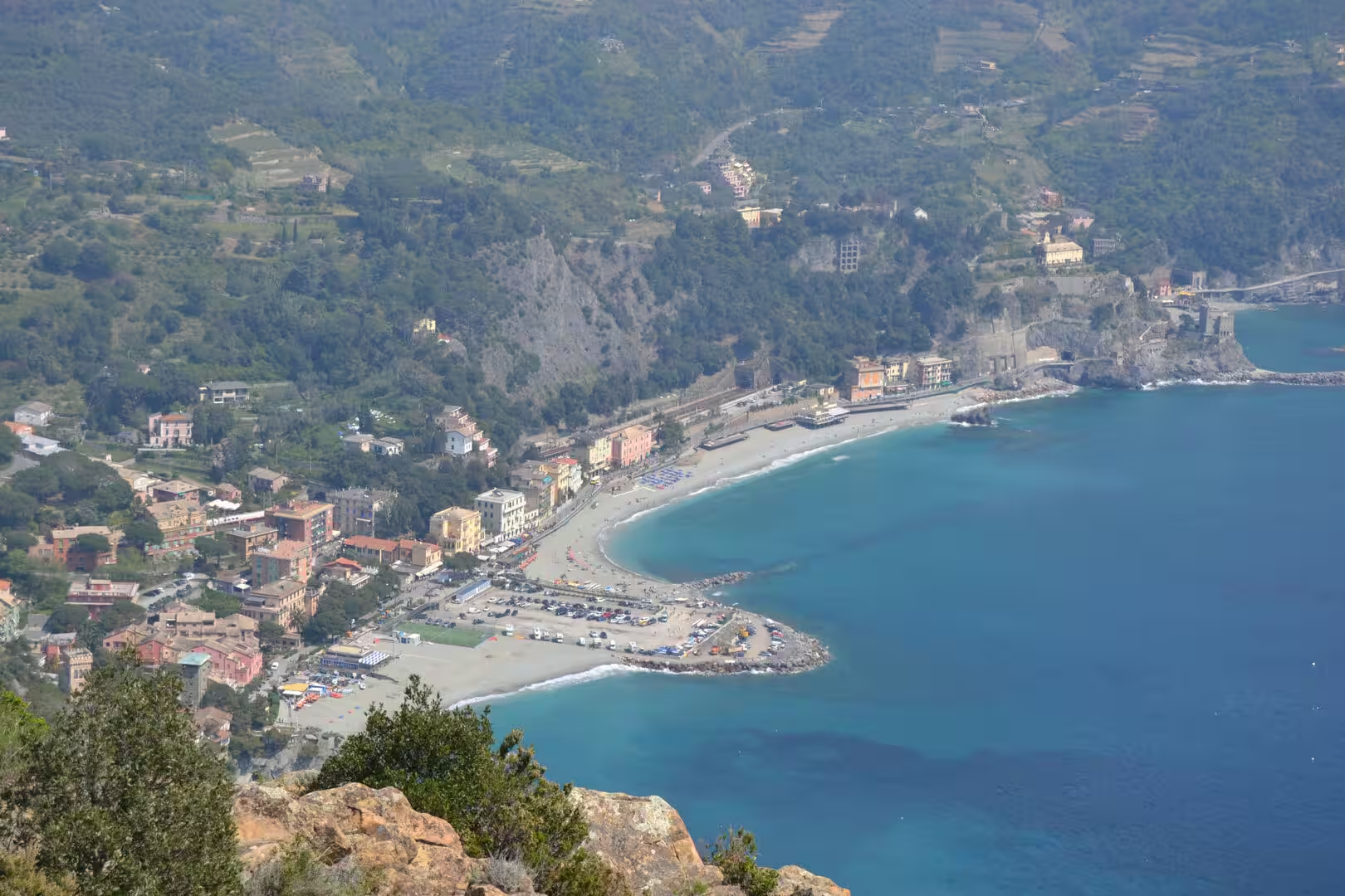
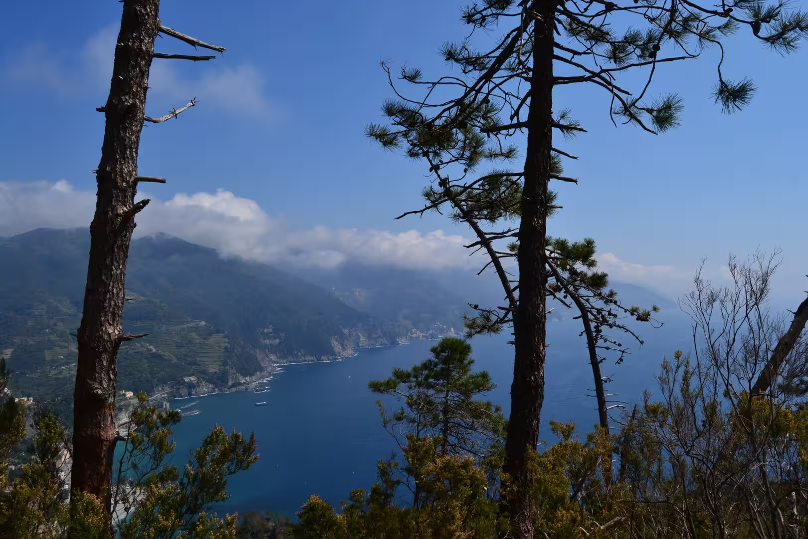
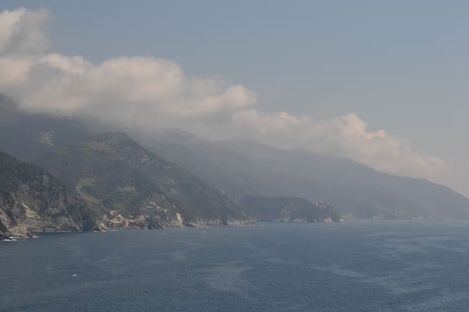
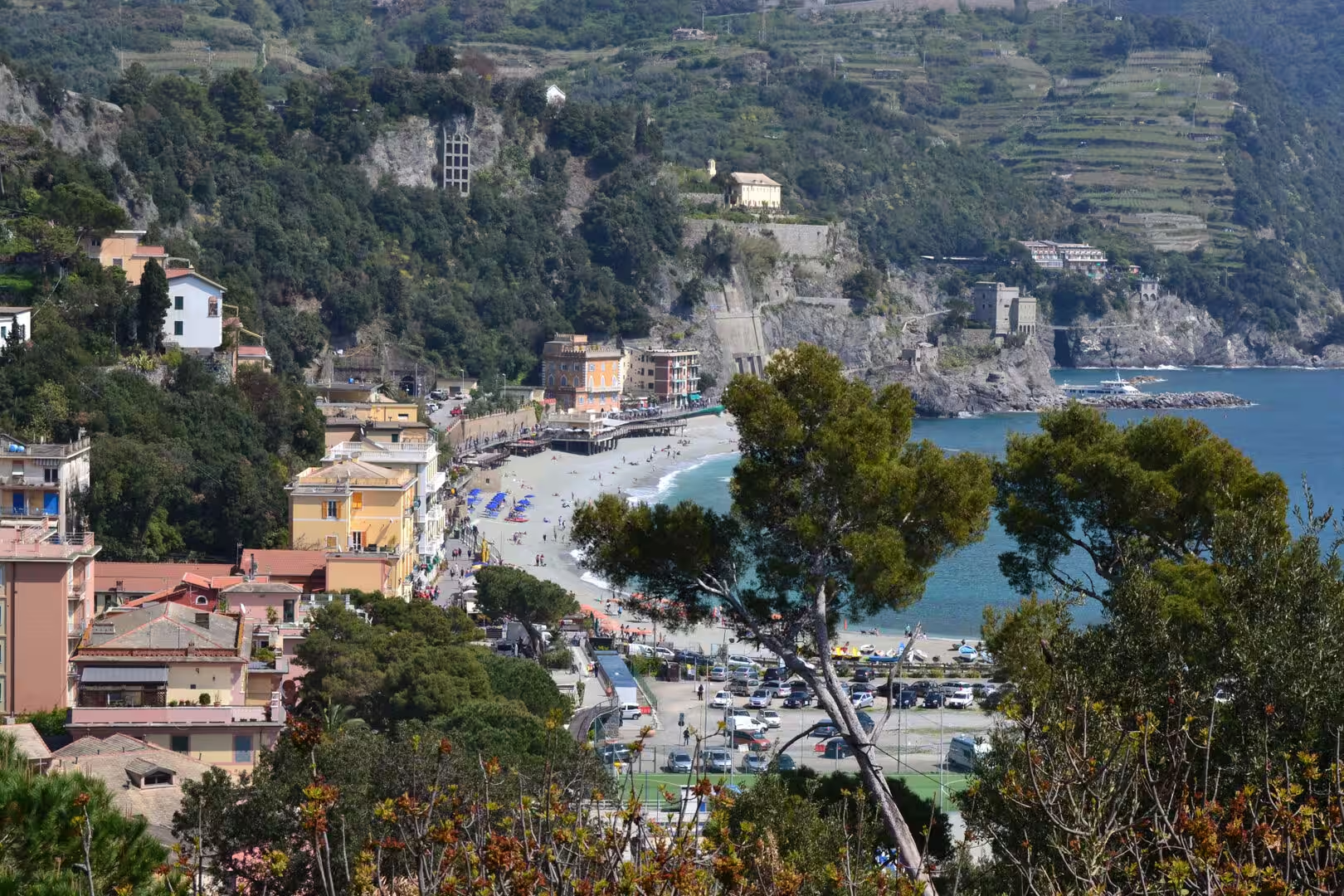
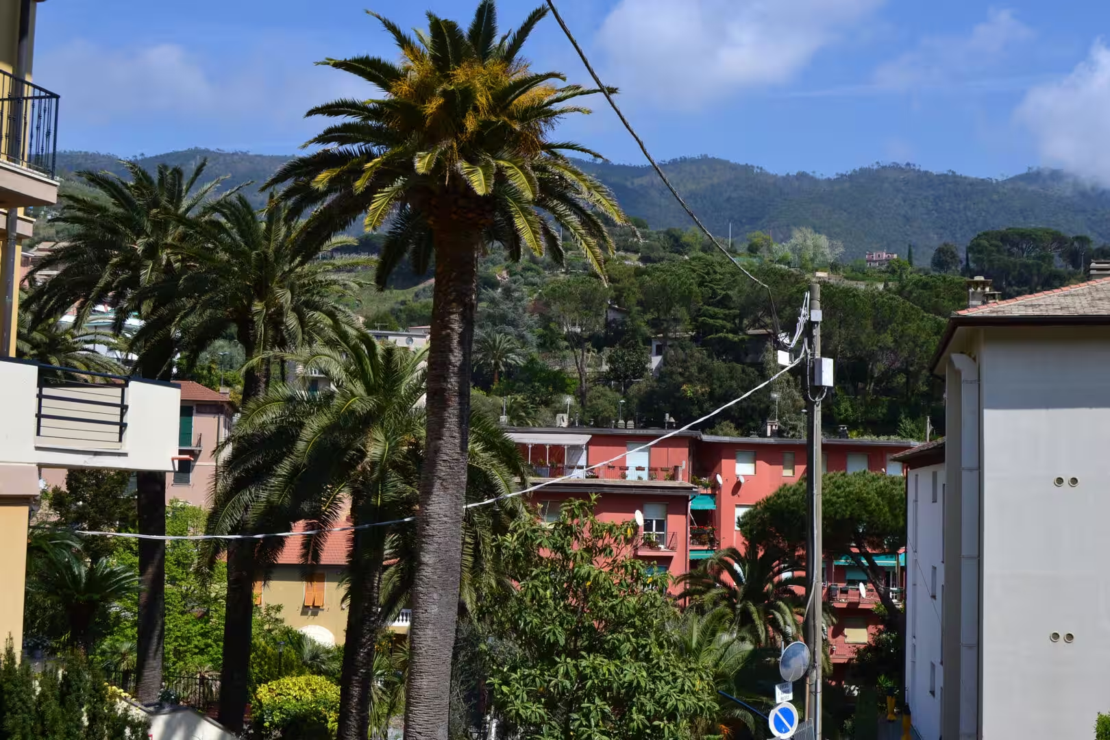
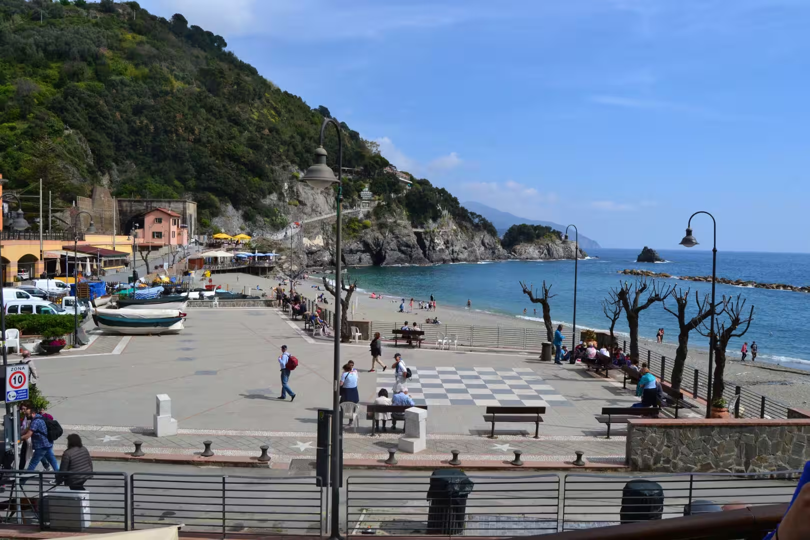
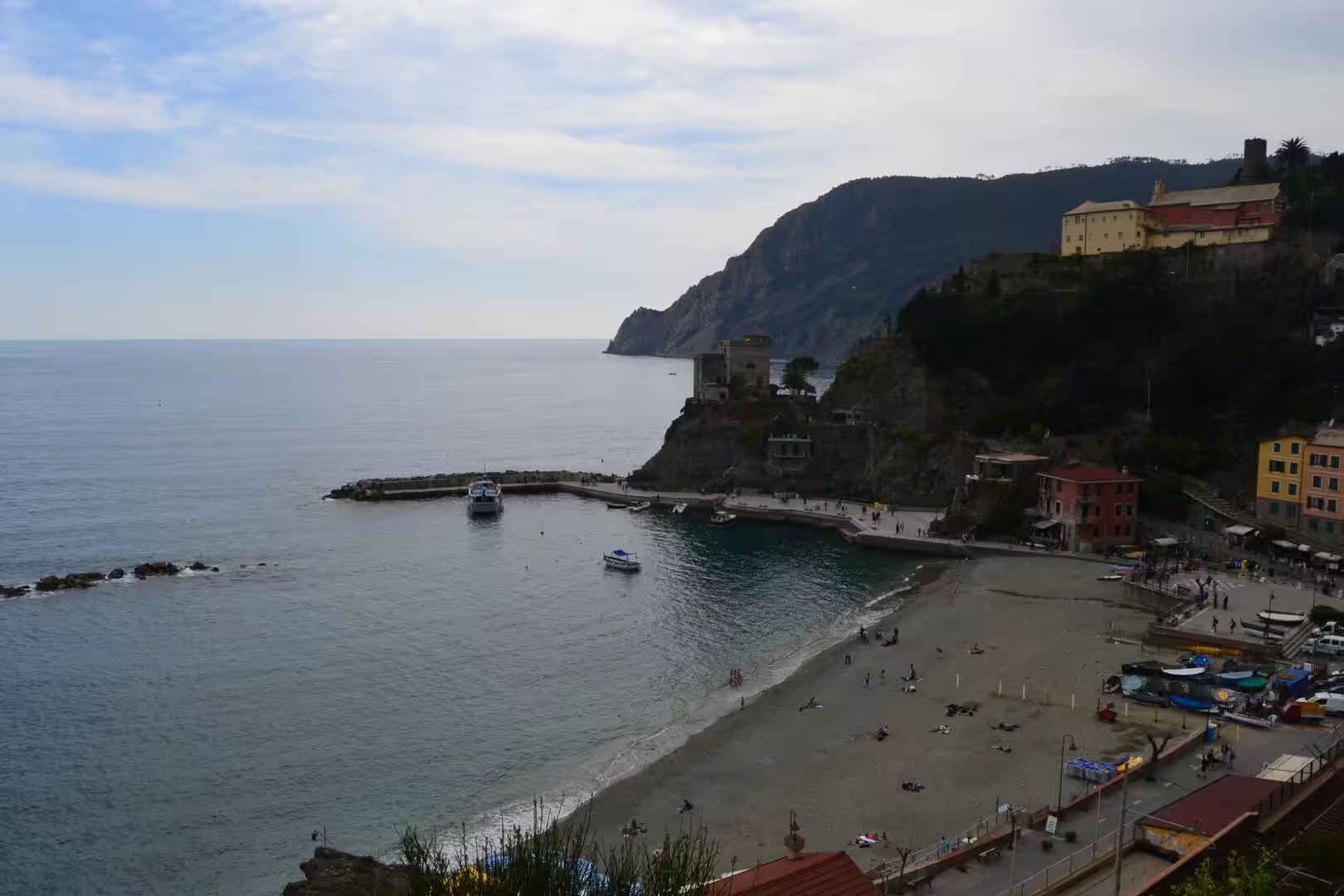
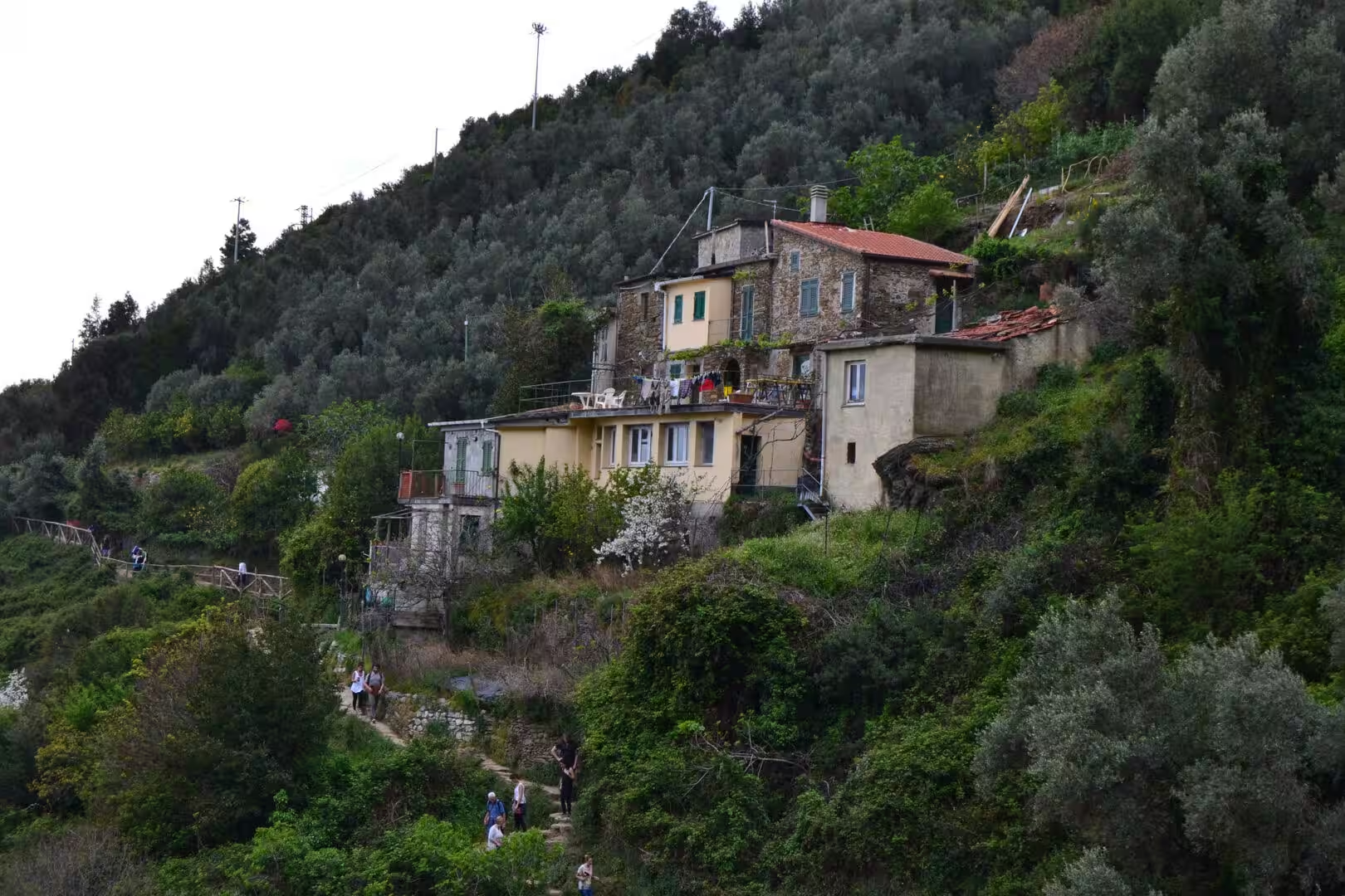
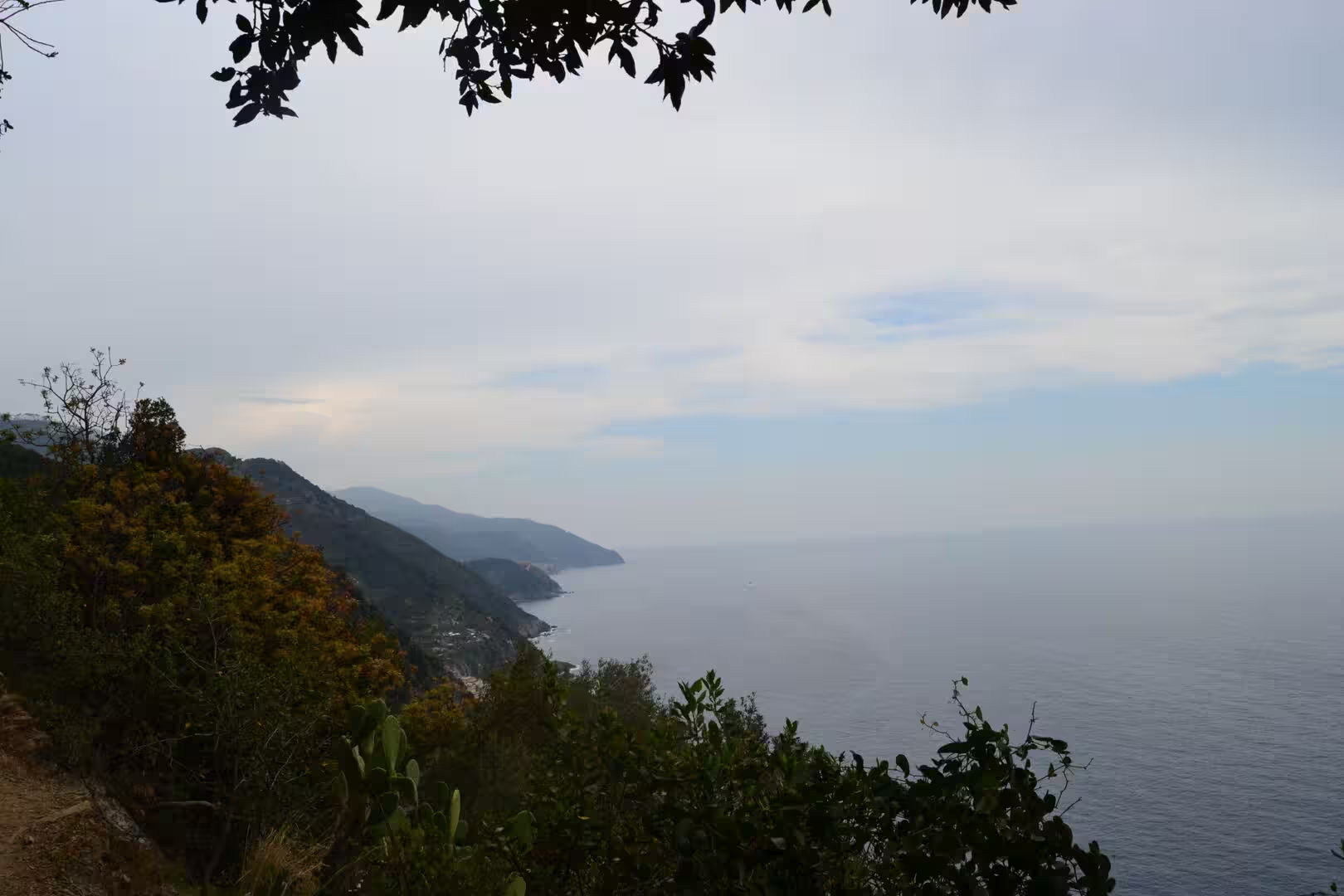
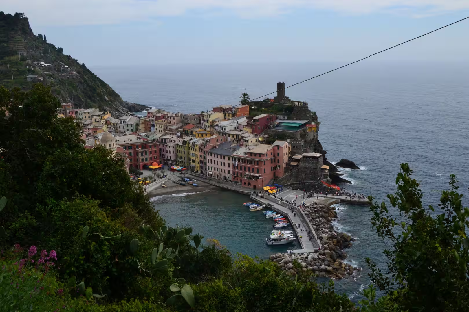
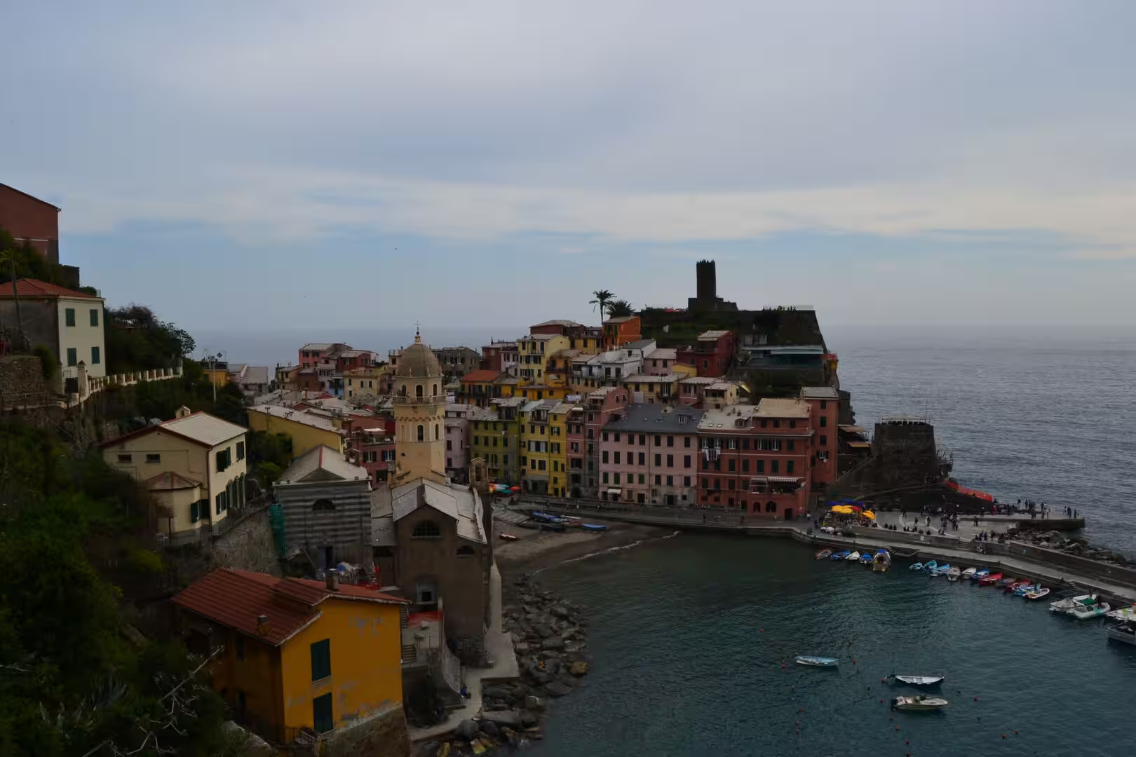
The villages appear below you as you walk. Each one occupies its promontory or its small bay in the same way: a tight cluster of tower houses around a church square, a harbour of a few dozen boats, a beach of pebbles or of sand, and the terraces climbing the slopes above the roofs. The distances between them are short on the map and slow on the ground, and the signposts at every junction give the times, which is the most useful information on the whole coast.
The afternoon brought the reward of the walk: a swim in the water of the last village, at a place where the rocks allow a way in and the water is deep and clear. The light at that hour comes off the limestone cliffs and the water is a colour that no camera has managed yet, and the boats in the harbour and the people on the rocks make a scene that has become the image of the whole Italian Riviera.
The character of a walking day here comes from the alternation of two worlds. For twenty minutes the path is inside the terraces, with the vines of the terraces on both sides, the walls of dry stone, the smell of the Mediterranean scrub and the sound of the sea somewhere below. Then it turns a corner and the village is beneath the walker, complete and sudden, with its harbour, its church tower and its roofs of slate and terracotta. The alternation repeats five times along the coast, and it is the reason people walk the whole of it rather than one section.
History
The five villages have a shared history and separate identities. Vernazza was the most prosperous of them in the Middle Ages, with a harbour protected by a mole and a fleet of its own; Corniglia is the only one that stands on a promontory with no direct access to the sea, and it is reached by a flight of brick steps that climb three hundred and eighty three of them; Manarola and Riomaggiore grew around their harbours at the mouths of the two valleys at the southern end; and Monterosso, the largest, is the one with the beach.
The wine was the reason the terraces exist. The slopes above the villages have been planted with vines since the Middle Ages, the wine of the Cinque Terre was granted its own protected status in 1973, and the terraces themselves, built and repaired by hand over centuries, are the most visible monument of that economy. The white wine of the coast is made from grapes grown on slopes that no machine can reach, and the sweet wine made from grapes dried on racks is the local speciality.
The villages declined before they were discovered. Fishing and farming became unprofitable in the twentieth century, the young people left for Genoa and La Spezia, and the terraces that were nobody’s living were abandoned to the scrub and the landslides. The recovery came with the tourists, the national park and the recognition that the landscape itself, and not just the buildings, was the inheritance that had to be maintained. The park was created in 1999, it is the smallest in Italy, and it is the densest in population.
The paths are the other part of that inheritance. The coastal route between the villages and the network of mule tracks above them were the roads of the community before there were roads, and the most famous section, the Via dell’Amore between Manarola and Riomaggiore, is a walkway cut into the cliff in the twentieth century. It has been closed for years at a time after rockfalls, it cost over twelve million euros to make safe, and it reopened in 2024. It is a kilometre long and it is the most famous kilometre in Italy.
The reputation of the place has been both a rescue and a burden, and the two are being managed together. The park has limited the traffic, the paths are patrolled and in places ticketed, and the numbers of visitors are counted and capped at the busiest sites in the summer. The villages, meanwhile, have a housing problem that every famous small place acquires: the houses that were the homes of fishing families are now weekend properties and holiday rentals, and the people who keep the place running commute from La Spezia.
Geology
The landscape of the Cinque Terre is the result of three things: a steep coast, a rock that makes soil possible, and the labour of people who had no alternative but to build on the slope. The rock is a mixture of sandstone and limestone with the fragments of an ancient ocean floor in it, it weathers into the pale grey and ochre walls that the villages are built of, and it produces a thin, stony soil that holds the vines and the olives if it is held in place.
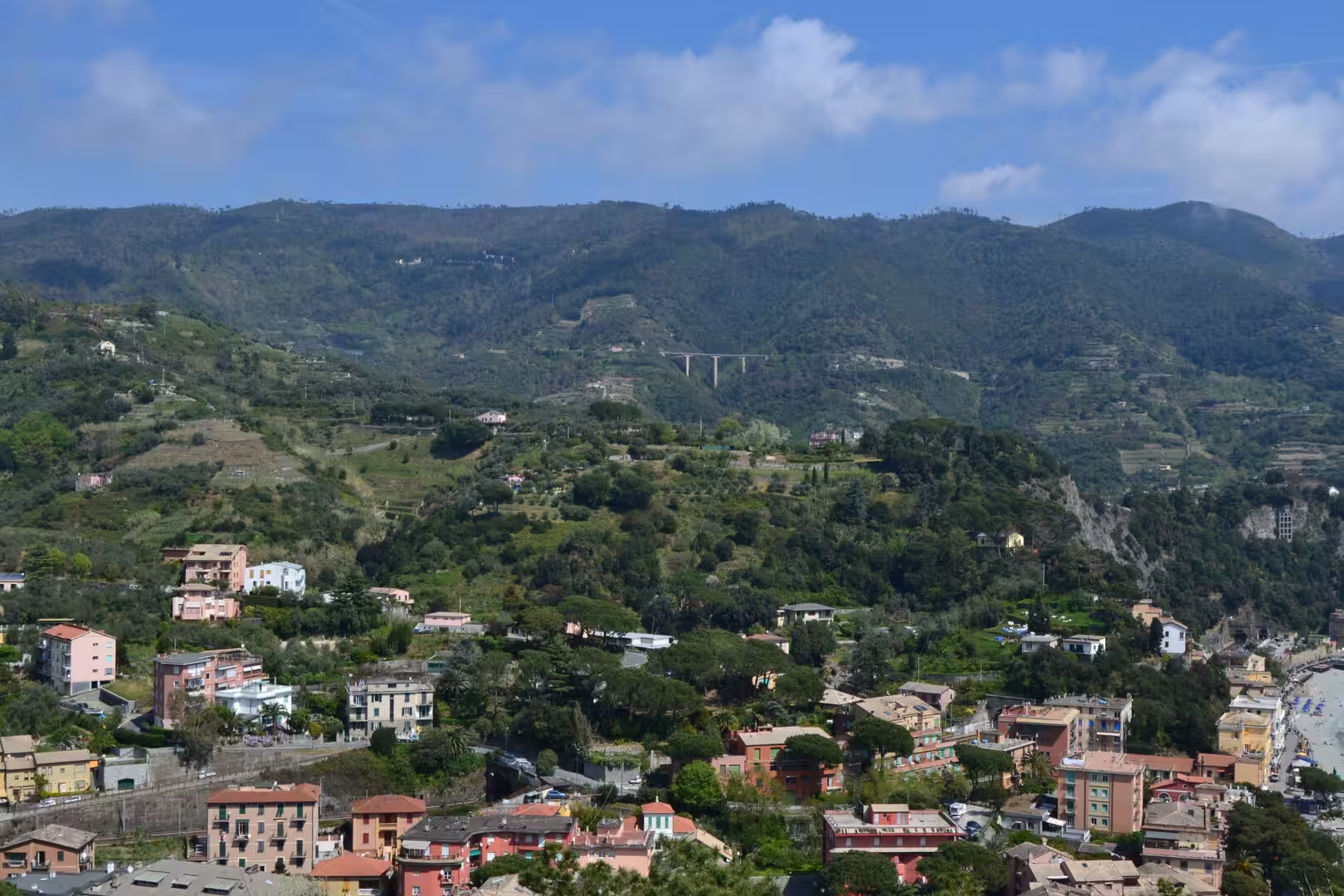
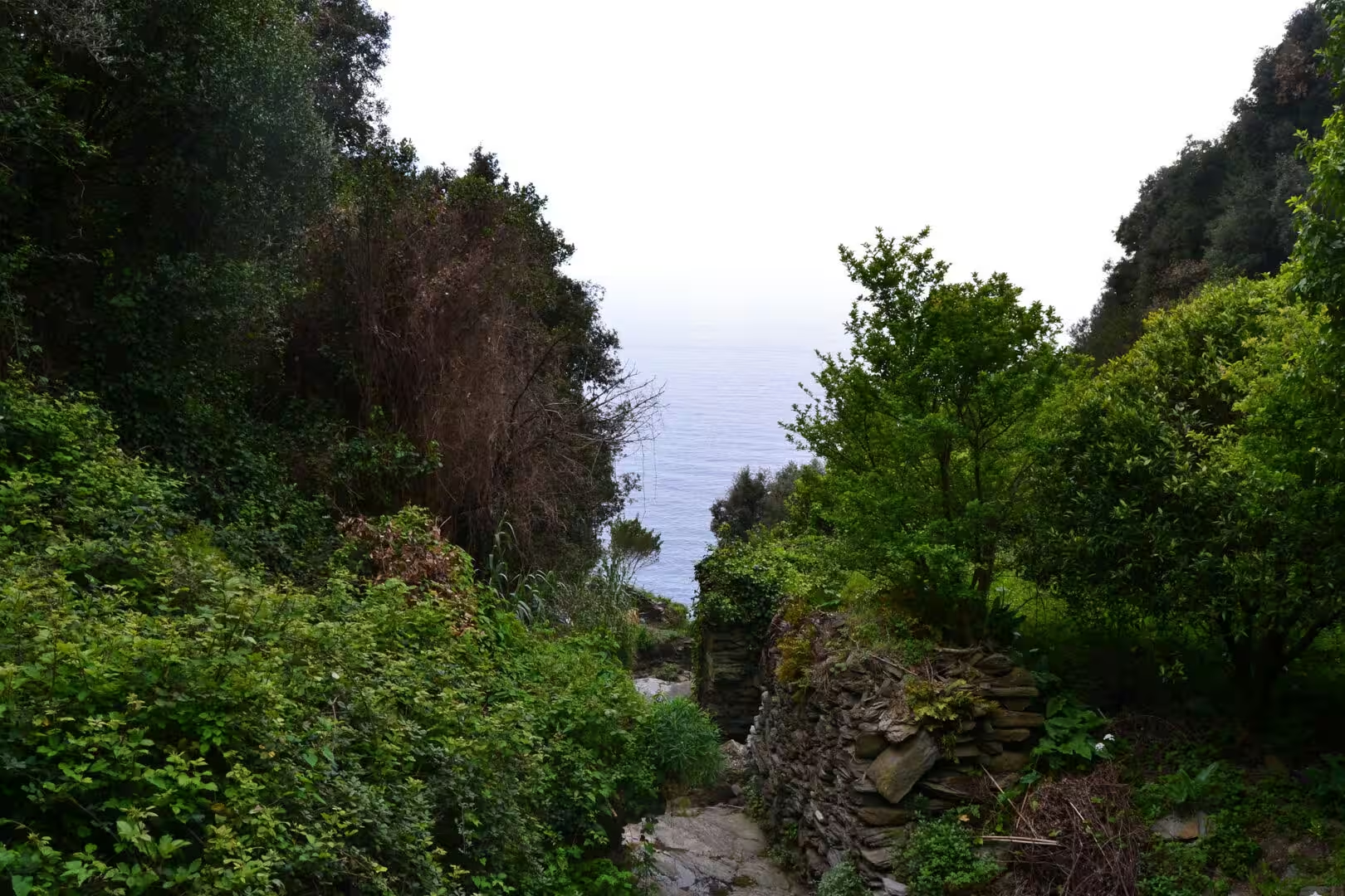
The terraces are that holding in place. A wall of dry stone follows the contour, the soil is carried up and behind it, and the next wall goes in above the first, so that a slope of thirty or forty degrees is turned into a staircase of small fields. The system needs constant repair: a wall that is not maintained loses its soil in the first heavy rain, and the terrace below it is then at risk. The paths that the walkers use are part of the same system, cut into the slope long before the visitors arrived.
Landslides are the constant threat and the visible history of the place. The combination of steep slopes, thin soils, heavy autumn rain and abandoned terraces makes the coast one of the most unstable in Italy, and the floods and slips of the last decades have taken lives and closed the paths for months at a time. The walls that have been rebuilt since, and the drainage channels cut through the villages, are the local answer to a problem that the landscape sets and the climate makes worse.
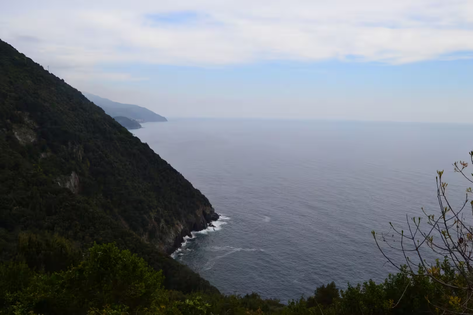
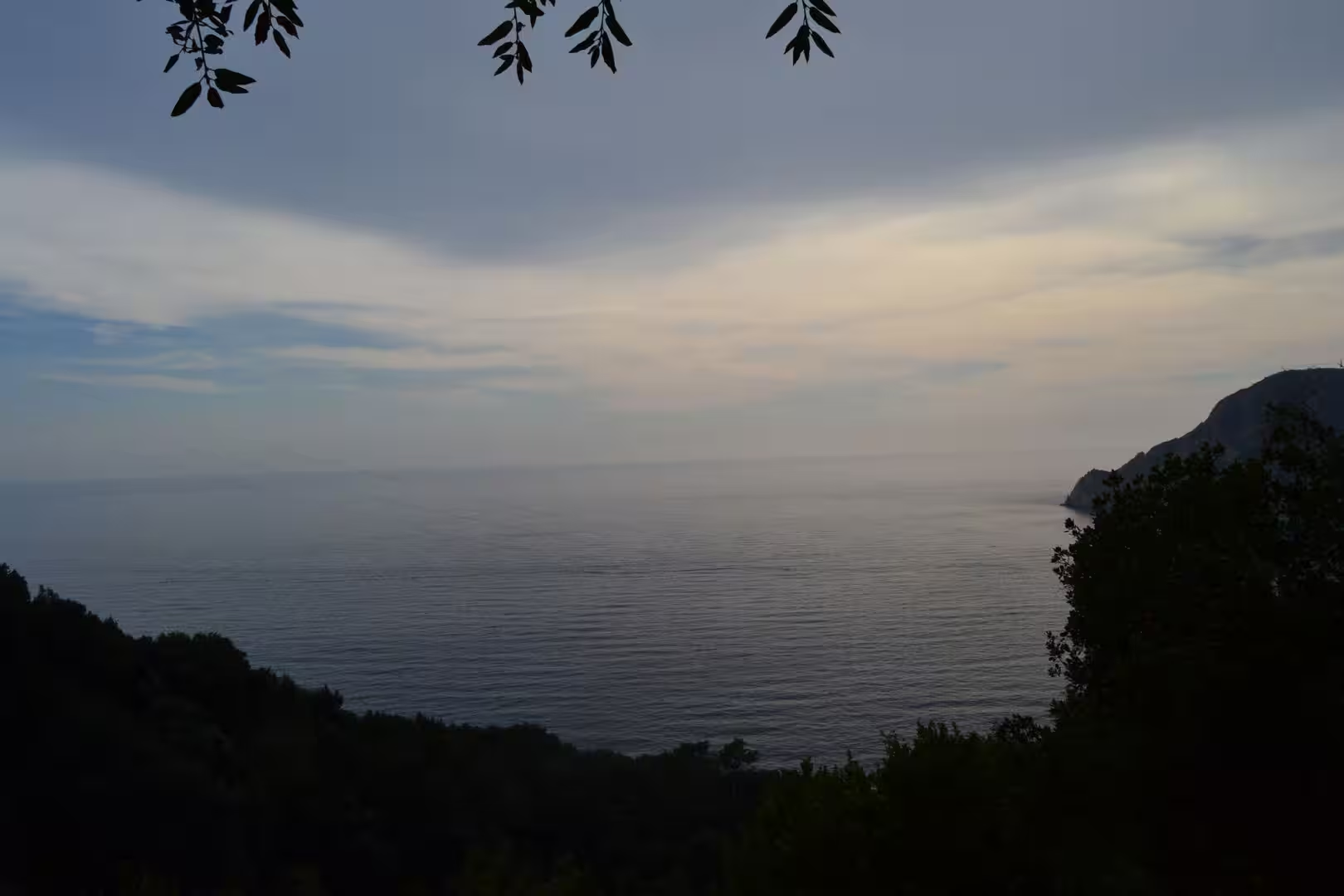
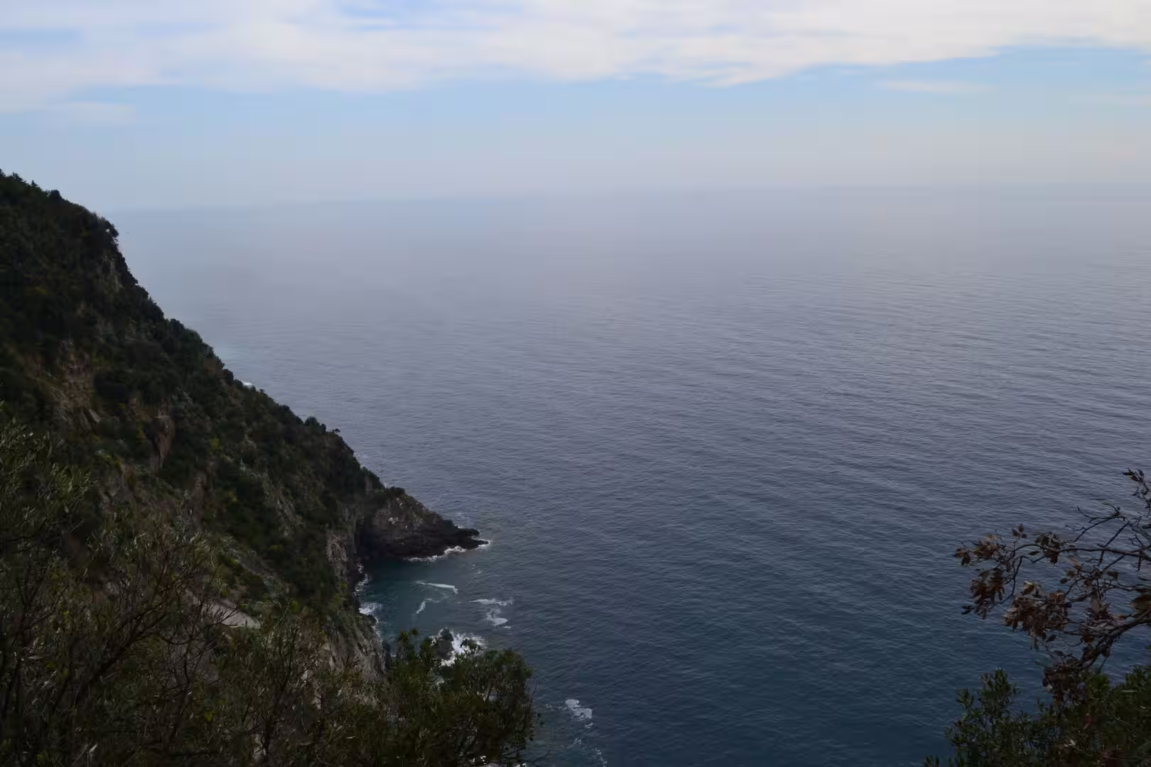
The sea is the other half of the geology. The coast is a drowned mountain front: the slopes continue under the water as steep rocky bottoms, the coves are the mouths of the valleys that were drowned when the sea rose after the ice age, and the cliffs are the edges of the ridges that survived. The water is clear because the coast has no large river and little sediment, and the marine life of the coves and the rocks is the same community that the fishermen of the villages have been taking for a thousand years.
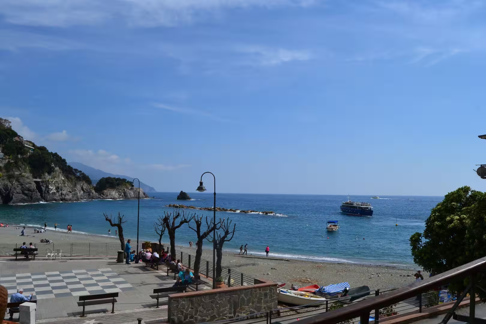
The beaches of the coast are a geological footnote with a practical consequence. Almost all of them are of pebbles rather than sand, because the streams that would supply fine sediment are short and steep and the sea removes what they bring, and the one real sand beach in the group is the exception that proves the rule. Bathing shoes are not a luxury on this coast, and the water gets deep within a few metres of the shore, which is why the swimming is good and the paddling is brief.
Things to See
The walking day needs planning, and the planning is about water and heat rather than distance. The path between the villages is not long in kilometres, but it is a continuous staircase, and the sun on the terraces at midday is fierce from April onwards. Most walkers do one or two sections in a day, start early, carry more water than they think they need, and use the train or the boat to return to their base.
The signposts are the key to the whole thing. Every junction on the paths carries a board with the times to the villages and the difficulty of the route, and the park authority publishes the state of every section with the closures marked. The paths are numbered, the sections that require a ticket are indicated, and the rule is simple: if a section is closed, it is closed because somebody has fallen off it or because the ground has.
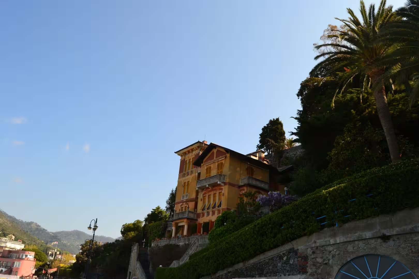
The villages themselves deserve the time that the walking leaves over. Each has a church with a painted interior, a castle or a tower on the high point, a square with a fountain and a bakery, and a harbour with the boats of the fishermen and the trips of the visitors. The food is the cooking of Liguria: pasta with pesto, the flat bread of the region, the anchovies of Monterosso, the olives and the wine of the terraces, and the sweet wine that the old people still make in the traditional way.
Anyone who wants the view without the steps should take the boat. The ferries run between the villages in the season, they come into harbours that are too small for anything else, and the view from the water is the one that shows the whole system at once: the villages on their promontories, the terraces above them, the paths along the coast and the mountains behind it all. The trip takes about an hour in one direction, and it is the best value on the coast.
One last thing about the Cinque Terre is worth saying. The place is famous enough to be crowded, and in the middle of the day in summer the villages can be uncomfortable. The solution is the same as everywhere else that is loved: go early, go up, and go in the spring or the autumn. The walkers who leave the village at seven in the morning see the terraces in the light that made the landscape famous, and they have the path to themselves for the first two hours of the day.
Anyone with a second day should use it on the higher paths rather than the coastal ones. The ridge routes above the villages are longer and quieter, they pass through the pine woods and the terraces of the upper slopes, and they connect the sanctuaries and the hamlets that the coastal villages depend on. The views from the ridge take in all five villages at once and the whole arc of the coast, and the walker who has done the coastal path first will find the geography of the place suddenly legible from above.
References
- Wikipedia contributors (2026). Cinque Terre. en.wikipedia.org/wiki/Cinque%20Terre
- Wikipedia contributors (2026). Monterosso al Mare. en.wikipedia.org/wiki/Monterosso%20al%20Mare
- Wikipedia contributors (2026). Vernazza. en.wikipedia.org/wiki/Vernazza
- Wikipedia contributors (2026). Corniglia. en.wikipedia.org/wiki/Corniglia
- Wikipedia contributors (2026). Manarola. en.wikipedia.org/wiki/Manarola
- Wikipedia contributors (2026). Riomaggiore. en.wikipedia.org/wiki/Riomaggiore
- Wikipedia contributors (2026). Cinque Terre National Park. en.wikipedia.org/wiki/Cinque%20Terre%20National%20Park
- Wikipedia contributors (2026). Via dell’Amore. en.wikipedia.org/wiki/Via%20dell’Amore
- Wikipedia contributors (2026). Liguria. en.wikipedia.org/wiki/Liguria
- Wikipedia contributors (2026). La Spezia. en.wikipedia.org/wiki/La%20Spezia
- Wikipedia contributors (2026). Levanto. en.wikipedia.org/wiki/Levanto
- Wikipedia contributors (2026). Ligurian Sea. en.wikipedia.org/wiki/Ligurian%20Sea
- Wikipedia contributors (2026). Cinque Terre DOC. en.wikipedia.org/wiki/Cinque%20Terre%20DOC
- Brandolini P. (2017) The Outstanding Terraced Landscape of the Cinque Terre Coastal Slopes (Eastern Liguria). World Geomorphological Landscapes. 235-244. doi.org/10.1007/978-3-319-26194-2_20
- Mazzuoli M., Berardi R. (2018) Numerical simulation of a debris flow propagation: A case of study in Cinque Terre, Liguria. Landslides and Engineered Slopes. Experience, Theory and Practice. 1393-1399. doi.org/10.1201/9781315375007-160
- De Waele J., Furlani S. (2022) Coastal Karst. Treatise on Geomorphology. 611-621. doi.org/10.1016/b978-0-12-818234-5.00095-x