Day 8 - Namib Desert / Agama River Camp
1 June 2019

Journal Notes
General
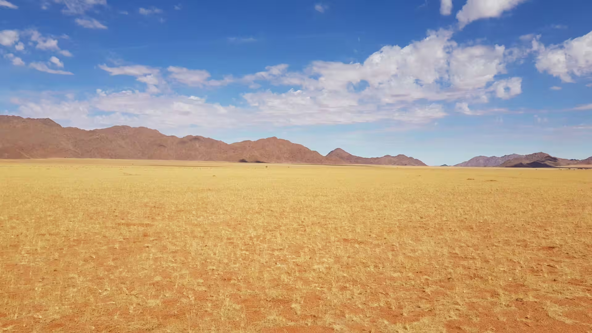
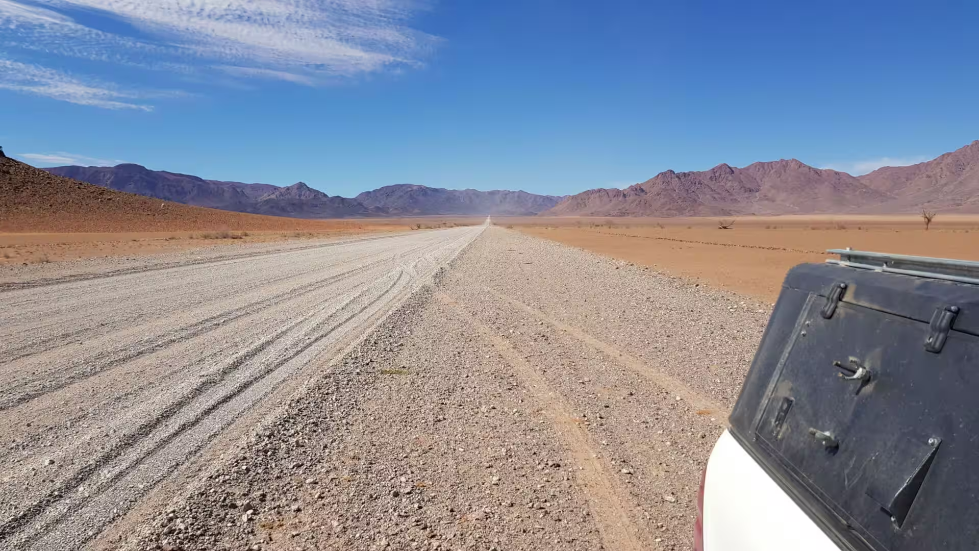
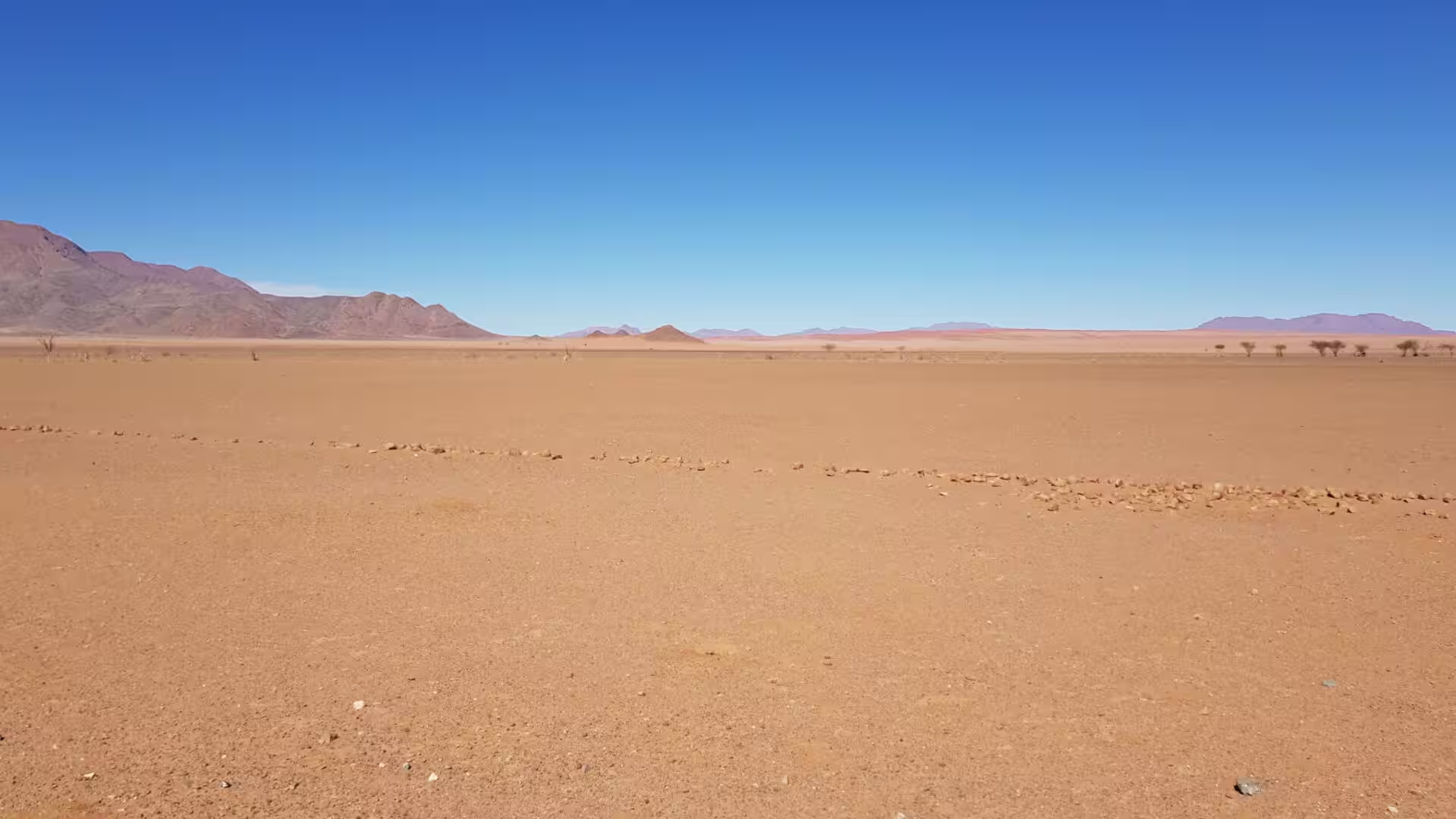
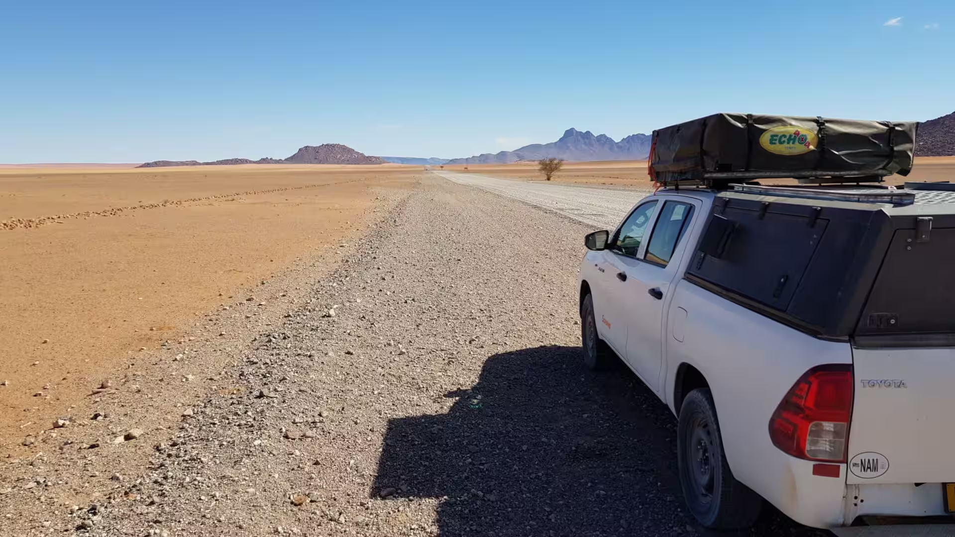
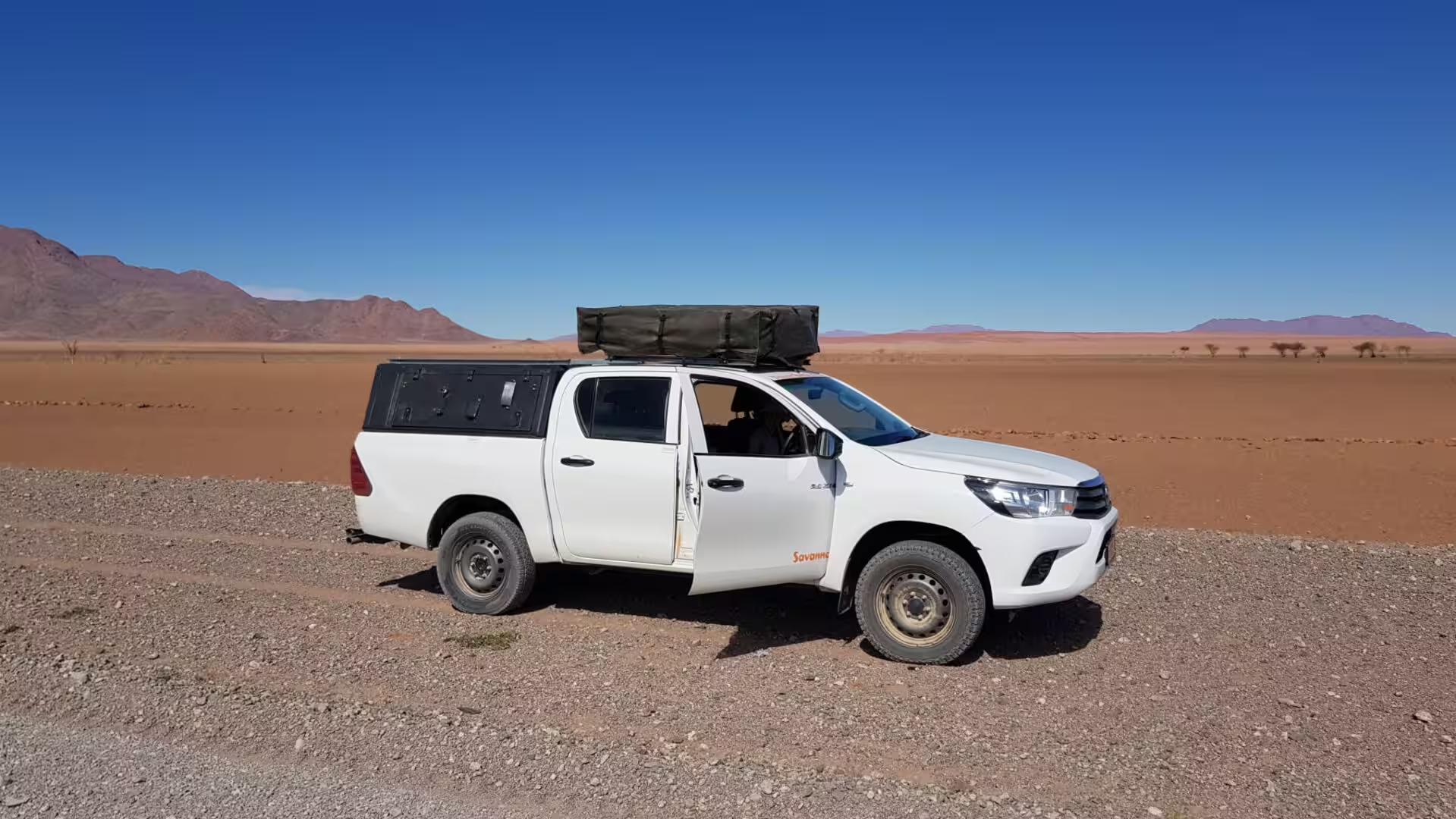
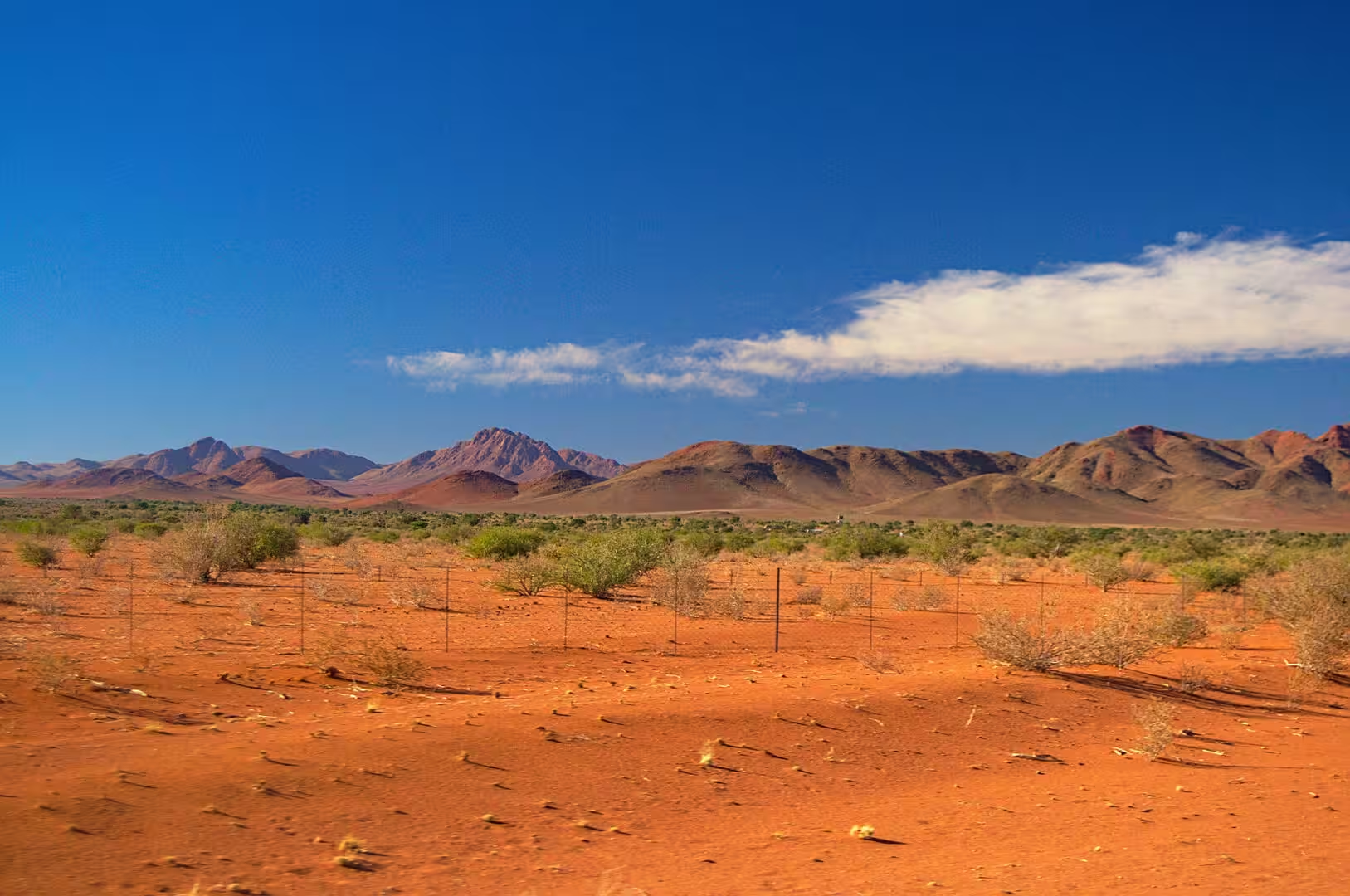
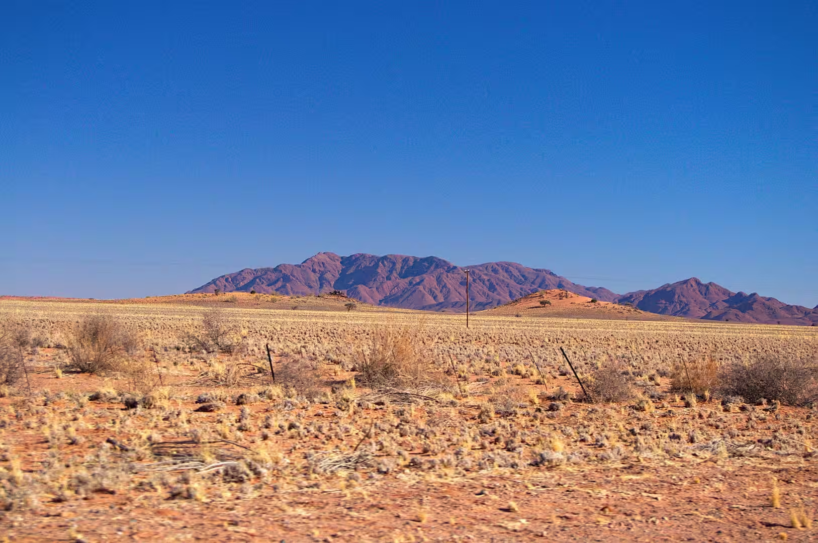
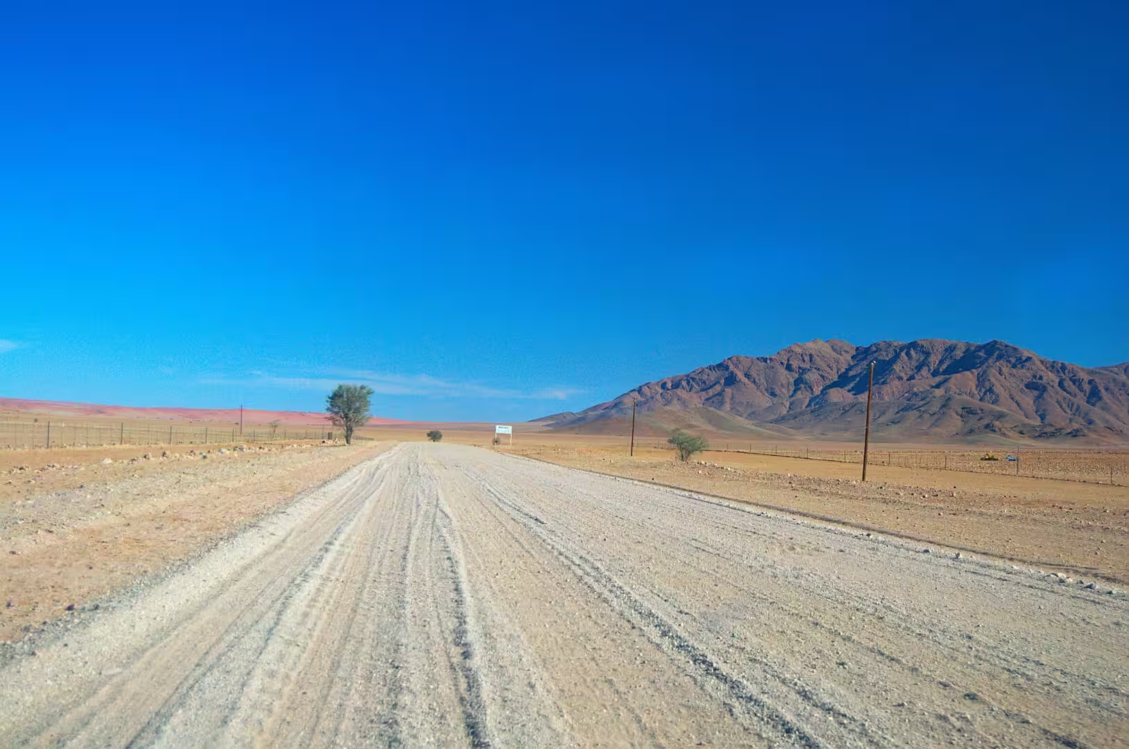
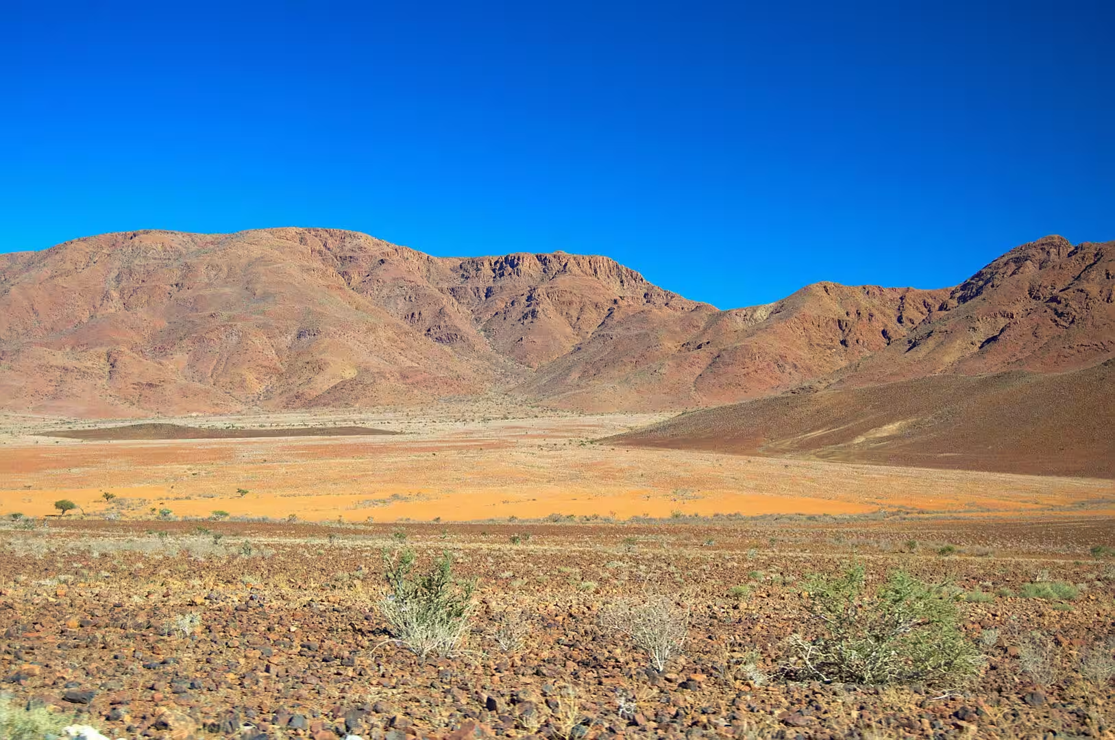
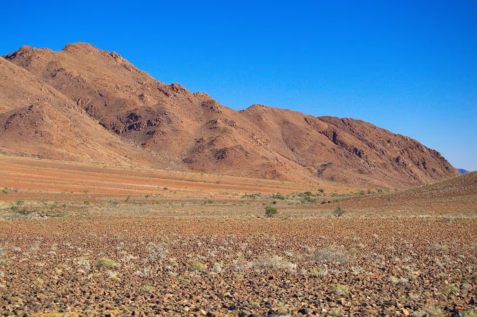
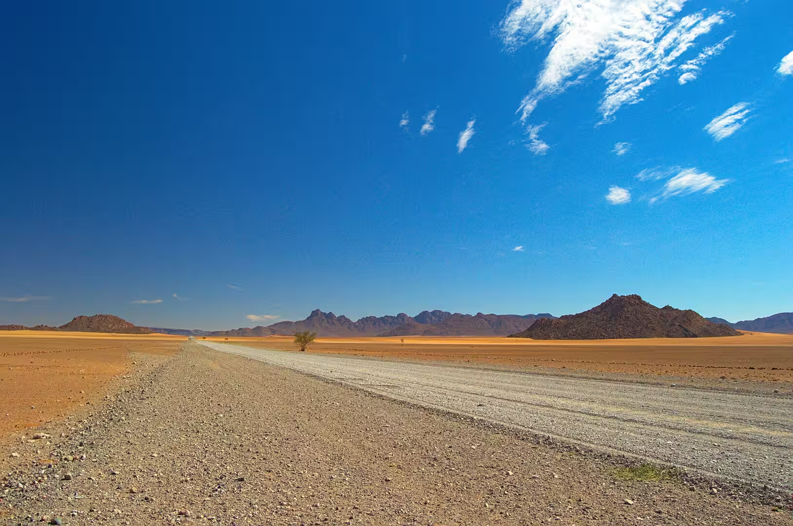
The eighth day was spent crossing the inner Namib towards the Naukluft, and it was the emptiest drive of the journey. The road runs for hours across a plain of red earth and golden grass with a single line of purple mountains on the horizon, the vehicle is the only moving thing in the landscape for most of the time, and the traveller stops for the pleasure of standing in the middle of a country that has nothing in it.
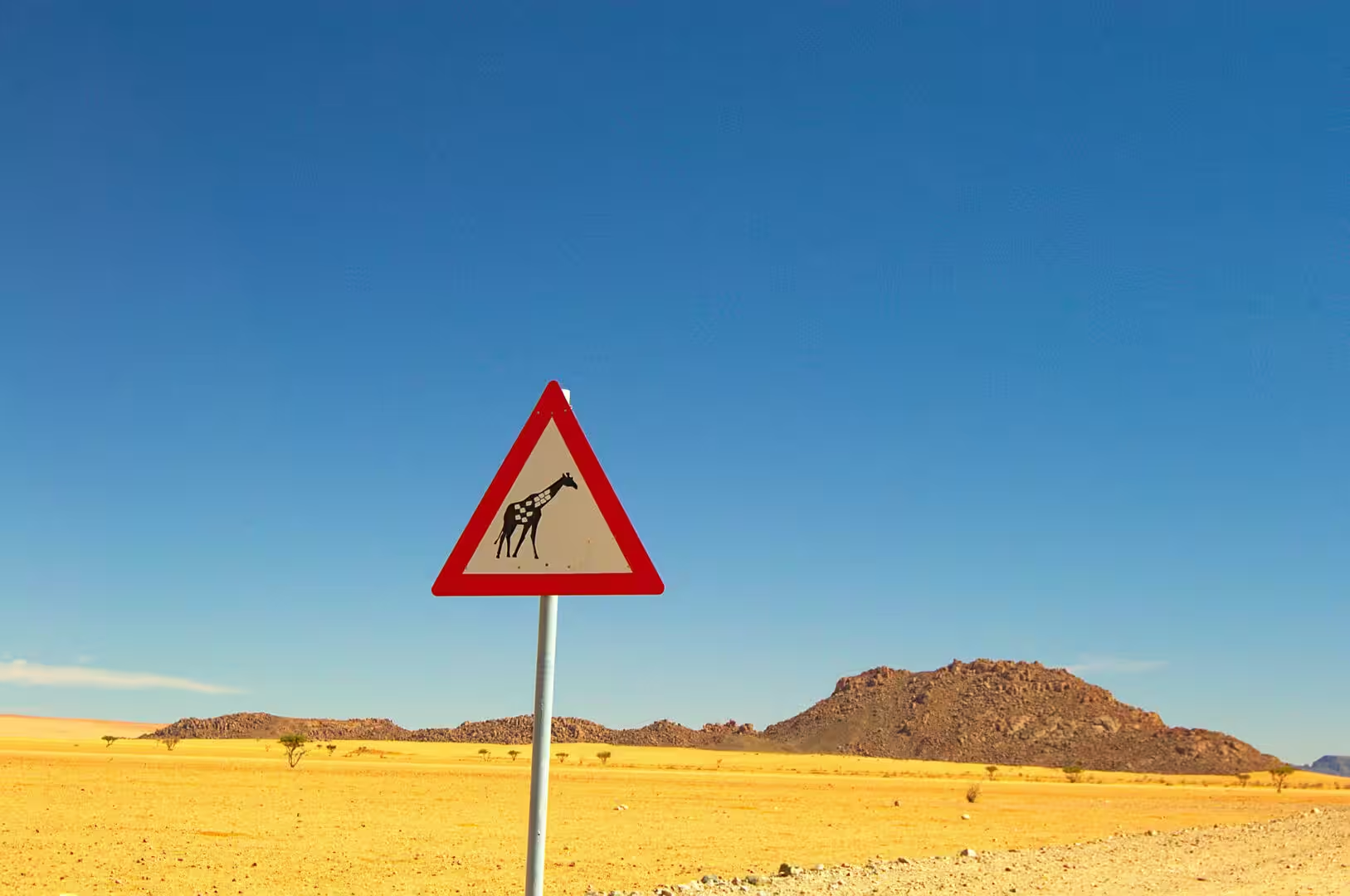
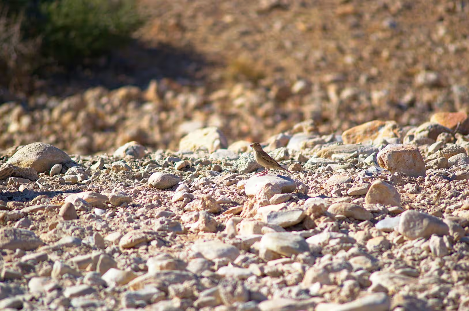
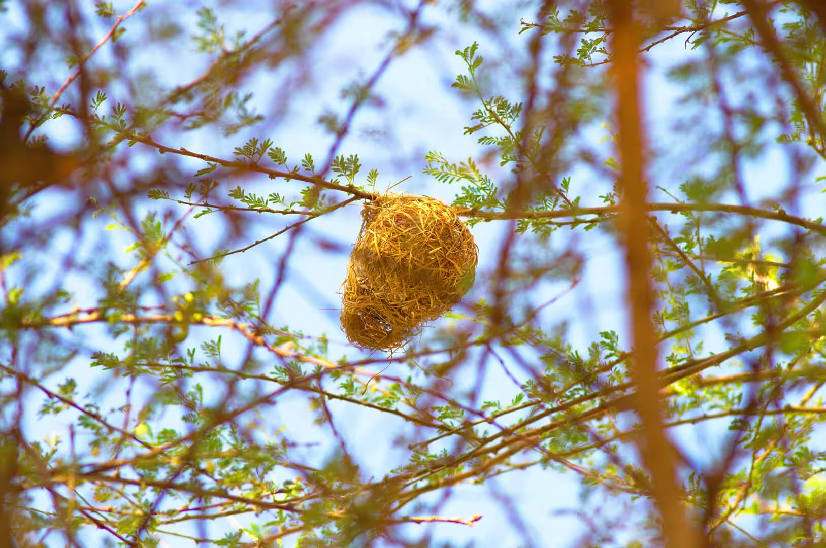
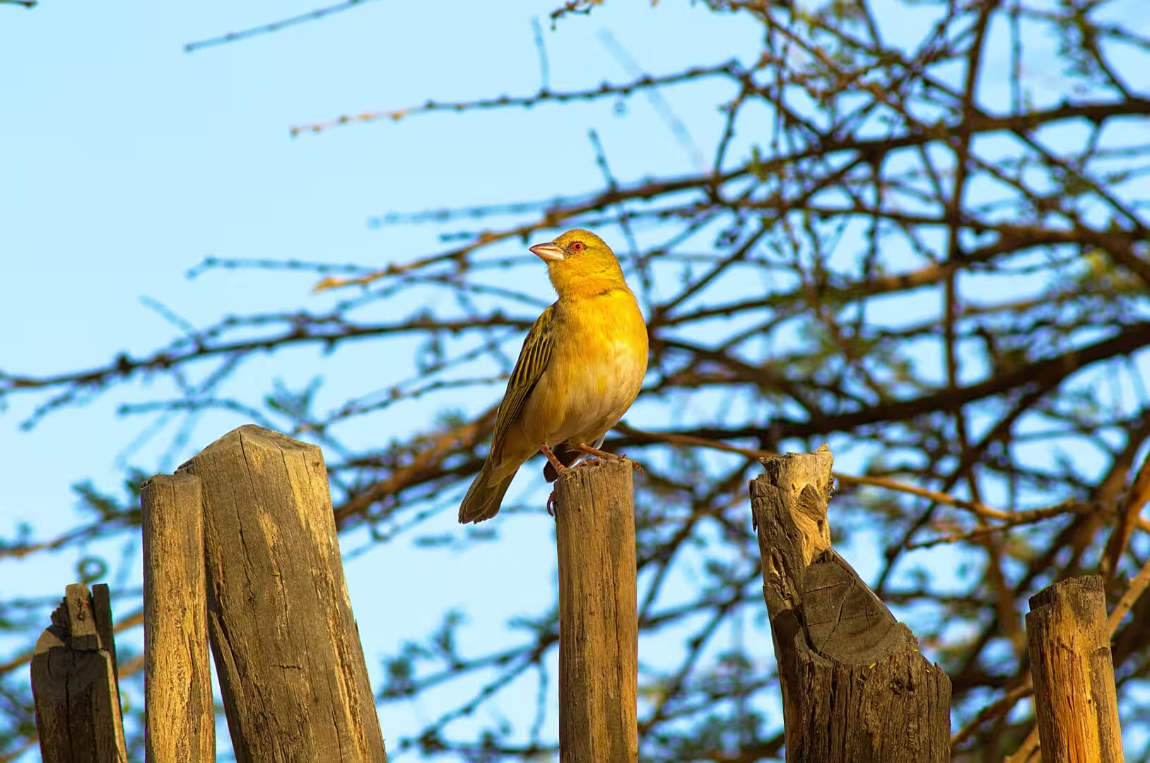
The signs of life on that plain are the ones that the desert allows. A giraffe warning sign stands at the side of the road, and the giraffes themselves appear in the distance in ones and twos, walking the skyline in the way that the animals of the open country do. The weavers have built their nests in the trees of the dry riverbeds, the small birds of the gravel are all along the verge, and the tracks of oryx, zebra and jackal cross the sand between the bushes.
The band of orange sand that cuts across the plain in the middle of the afternoon is the first sight of the dunes. It runs like a river between the dark hills, the colour is a red that the postcards never get, and the road crosses it at a point where the sand has been pushed aside by the traffic. The traveller who climbs to the top of the nearest ridge sees the whole of it: the plain, the belt of dunes, and the ranges beyond.
The camp of the night stands on the edge of the Naukluft Mountains, where the plain meets the rock. It is named for the river that runs past it, it has a small pool and a terrace facing the mountains, and the pitches for the travellers are set among the trees of the riverbed. The evening was the quietest of the journey: the light went off the peaks in stages, the birds came to the water, and the temperature fell until the fire was the only comfortable place to be.
History
The country of the day is the land that the farmers of the interior took and then gave back. The plain between the escarpment and the Naukluft was divided into enormous farms in the colonial period, and the sheep and the cattle that were run on it in the twentieth century ate the desert to the ground: the grass went, the sand began to move, and the productivity of the land fell with the vegetation that had held it. The recovery began when the farmers of the region converted their land to tourism and game, and the reserves that the visitor crosses today are the result.
The camps and the lodges of the route grew out of that conversion. The farmhouses that stood empty when the sheep no longer paid were turned into guest accommodation, the boreholes that watered the stock now supply the pools and the showers, and the tracks that the shepherds used became the tourist routes of the region. The visitors who sleep on the edge of the Naukluft are staying on farms that have been worked by three generations of the same families, and the history of the country is told at the dinner tables of those farms rather than in any museum.
The name of the mountains is a colonial gift and an older one at the same time. Naukluft is Afrikaans and German for the narrow gorge, and the gorge it describes is the pass through the range that the farmers of the interior used to reach the coast. The springs and the waterholes of the range had been the country of the Nama and the San long before the wagons of the settlers came through, and the routes they walked are the same routes that the trail walkers of today follow through the mountains.
The last chapter of the region’s history is still being written. The land reform and the redistribution of the big farms are political questions in Namibia as they are in the rest of southern Africa, the communities that were dispossessed in the colonial period are the subject of claims, and the tourism that now pays for the land has changed who works on it. The traveller who reads a Namibian newspaper at the camp over breakfast will find the country of the day’s drive in the headlines, which is the definition of a place that is alive.
Geology
The Naukluft Mountains are the geological anomaly of the region. They are made of limestone and dolomite that were laid down in a shallow sea, folded and pushed up in the mountain building event of the Damara orogen, and then left standing when everything around them was worn down. The range is a block of hard rock between two deserts, and the water that falls on it disappears into the cracks of the limestone and comes out at the springs of the foot, which is why the mountain has been a place of water in a country that has none.
The plain between the escarpment and the range is a surface of old rock and new sand. The red earth of the road is the product of the weathering of the quartzites and the schists below it, the golden grass grows on the fine material that the wind has brought in, and the belts of dune sand that cross the plain are the eastern fingers of the Namib sand sea. The whole surface is unstable: the sand moves with every strong wind, the grass appears and disappears with the rain, and the tracks of the road are cut through material that has arrived from somewhere else.
The dunes of the Namib are the largest sand system in the world, and the day touched their eastern edge. The sand comes from the rivers of the interior and the south, is carried to the coast by the Orange and the other rivers, is blown back inland by the wind of the Atlantic, and is trapped and shaped by the mountains and the wind into the long ridges and the great dunes of the sand sea. The process has been going on for millions of years, and the sea of sand that it has produced is the reason the country is called Namibia on the maps of the world.
The climate of the region is the extreme of the interior. The rain is a summer event and often does not come, the summer days on the plain pass forty degrees, the winter nights drop below freezing, and the difference between the day and the night is the main fact of life for everything that grows there. The animals and the plants of the Namib have evolved around that swing, and the traveller who camps there learns it in a single night: the sleeping bag that is too warm at midnight is too thin an hour before dawn.
The mineral wealth of the mountains behind the camp is the reason the range has a road at all. The Naukluft and the hills around it were worked for copper and for the rare minerals of the pegmatites, the old shafts and the ruins of the mine buildings stand in the valleys on the western side, and the track that the tourists take up the mountain follows the line of the workings. The mines of the interior were the reason for the first roads of the country, and the route of the day is one of them.
Things to See
The drive is the day’s attraction, and the way to make the most of it is to stop more often than the plan suggests. The plain between the escarpment and the mountains has no services and no traffic, the gravel road is good in the dry season, and the points of interest are the ones the traveller notices: the dune belt, the riverbeds with their camelthorns, the water tanks of the farms and the game that gathers around them. The binoculars should be within reach of the driver’s seat for the whole of the day.
The wildlife of the inner Namib is sparse and rewarding. The gemsbok is the animal of the region and the one the visitor will see most often, the springbok and the kudu are in the riverbeds, the giraffe walks the plains in the way that the warning sign promised, the zebras of the Naukluft are the mountain subspecies with the narrow stripes and the white belly, and the jackals and the smaller predators are seen in the early morning and at dusk. The birds are the other half: the weavers, the shrikes, the larks and the raptors that hunt from every pole.
The camp is the base for the next day’s walk in the Naukluft. The trails of the range start from the farmlands on its edge, the olive trail and the waterkloof routes are the established walks, and the mountain is one of the few places in Namibia where the walker finds permanent water: the springs of the gorge, the pools of the kloof and the small waterfalls that the winter rain feeds. The walk takes a day, the permits are arranged at the camp, and the pools are the reward for the climb.
The practical side of the day is the side of every drive in the interior. The distances are long, the fuel is available only at the crossroads farms, and the water has to be carried; the roads are gravel and the tyres should be checked for the stones, the animals are on the road at dusk, and the camps take cash or card depending on the farm. The best season for the region is the winter, when the days are mild and the nights are cold, and the worst is the summer, when the heat makes the middle of the day unusable. The traveller who plans around that rhythm will find the country entirely comfortable.
The walkers of the Naukluft have a choice of two classic routes, and the camp of the night is the place to arrange them. The shorter walks follow the waterkloof and the gorge of the springs, the longer trail crosses the whole range in four days, and both are booked through the state tourism organisation or the camps beside the mountains. The gorge walks are the more popular because they are reachable in a day and because the water of the kloof, the pools, the fig trees and the rock walls are the greenest place in the desert of the south.
The light of the Namib is the last thing to write about, because it is the thing that the visitor remembers. The air of the desert contains almost no water, the sun arrives without the softening that a humid atmosphere gives it, and the result is a set of colours that European eyes read as unreal: the reds of the sand, the blues of the shadows, the aluminium white of the quartz in the gravel and the silver of the dry grass. The travellers on the route chase the hour after sunrise and the hour before sunset, and the reason is not the composition but the light itself.
References
- Wikipedia contributors (2026). Namib-Naukluft National Park. en.wikipedia.org/wiki/Namib-Naukluft%20National%20Park
- Wikipedia contributors (2026). Namib. en.wikipedia.org/wiki/Namib
- Wikipedia contributors (2026). Naukluft Mountains. en.wikipedia.org/wiki/Naukluft%20Mountains
- Wikipedia contributors (2026). Giraffe. en.wikipedia.org/wiki/Giraffe
- Wikipedia contributors (2026). Sociable weaver. en.wikipedia.org/wiki/Sociable%20weaver
- Wikipedia contributors (2026). Sossusvlei. en.wikipedia.org/wiki/Sossusvlei
- Wikipedia contributors (2026). Sesriem. en.wikipedia.org/wiki/Sesriem
- Wikipedia contributors (2026). Namibia. en.wikipedia.org/wiki/Namibia
- Wikipedia contributors (2026). NamibRand Nature Reserve. en.wikipedia.org/wiki/NamibRand%20Nature%20Reserve
- Wikipedia contributors (2026). Hartmann’s mountain zebra. en.wikipedia.org/wiki/Hartmann’s%20mountain%20zebra
- Wikipedia contributors (2026). Oryx. en.wikipedia.org/wiki/Oryx
- Wikipedia contributors (2026). Springbok. en.wikipedia.org/wiki/Springbok
- Wikipedia contributors (2026). Greater kudu. en.wikipedia.org/wiki/Greater%20kudu
- Lancaster N. (2026) Dune Sediments. The Namib Sand Sea. 47-80. doi.org/10.1201/9781003763185-4
- White F.N., Bartholomew G.A., Howell T.R. (1975) THE THERMAL SIGNIFICANCE OF THE NEST OF THE SOCIABLE WEAVER PHILETAIRUS SOCIUS: WINTER OBSERVATIONS. Ibis. 117. 171-179. doi.org/10.1111/j.1474-919x.1975.tb04205.x
- Nørgaard T., Dacke M. (2010) Fog-basking behaviour and water collection efficiency in Namib Desert Darkling beetles. Frontiers in Zoology. 7. 23. doi.org/10.1186/1742-9994-7-23