Day 12 - Around Whangārei
21 July 2023




Journal Notes
General
Whangārei is the northernmost city of New Zealand and the principal centre of the Northland Region. It stands at the inner end of a large harbour of the same name on the east coast of the Northland Peninsula, where the Hātea River enters the sea, and its suburbs now spread through the surrounding valleys. The wider Whangarei District, the territorial authority that surrounds the city, was formed in 1989 from the former Whangarei City, Whangarei County and Hikurangi Town councils. It covers about 2,700 square kilometres of land running from the southern end of Bream Bay northwards to Whangaruru and inland up the Mangakahia River valley, and it recorded roughly 96,700 residents at the 2023 census, more than half of them in the Whangārei urban area itself, which counts some 53,800 people.
Beyond the urban area the district is predominantly rural and coastal. Pasture, horticultural blocks, plantation forestry and regenerating native bush cover the rolling hills, while the eastern seaboard is a succession of headlands, sheltered bays, estuary mouths and sandy beaches facing the Pacific Ocean. Whangārei Harbour alone runs about 23 kilometres from the city to the open sea at the Whangārei Heads. Offshore lie the Hen and Chicken Islands and the Poor Knights Islands, both protected as nature reserves within the district. Small settlements such as Ruakākā, Hikurangi, Waipu and Ngunguru line the coast, many with a pronounced holiday character of baches and weekend houses.
The climate is warm and moist. Northland is classed as oceanic in the Köppen system but as subtropical in the Trewartha classification, with warm humid summers, mild wet winters and the highest average annual temperatures in the country. Typical rainfall is between 1,500 and 2,000 millimetres a year, sunshine totals around 2,000 hours, and summer storms occasionally arrive as weakened former tropical cyclones. Whangārei is the service and administrative heart of the region and the seat of the Northland Regional Council, at the centre of an economy of dairying, horticulture, forestry, fishing and tourism. The deep-water port of Northport at Marsden Point, near the harbour entrance, handles timber and bulk cargoes, and the main highway from Auckland to Cape Reinga passes through the city.
History
The harbour holds the district’s oldest story. Its Māori name, Whangārei-te-rerenga-parāoa, given by the Ngātiwai people, is usually translated as “the place where whales gather”, recalling an era when whales entered the harbour and a whaling station later stood on its shores. Tradition makes it a landing point of the migratory waka Tūnui-ā-rangi and Te Arawa and the setting for many stories of the legendary chief Manaia. Long before Europeans arrived it was an important trading link between the iwi of the far north, the islands of the Hauraki Gulf and the peoples of Tāmaki to the south. Iwi associated with the area include Ngare Raumati, Ngāi Tāhuhu, Ngātiwai and Te Parawhau, joined by Ngāpuhi when that tribe expanded southwards in the late 18th century.
The early 19th century brought upheaval. During the Musket Wars of the 1820s the district was raided repeatedly by war parties from Waikato and by Ngāti Pāoa. The Poor Knights Islands, then inhabited by Ngātiwai and Ngati Toki, were attacked in December 1823 while many of their warriors were away with Hongi Hika; the raiders overwhelmed the remnant population, the survivors left, and the islands were declared tapu and have remained uninhabited ever since. In 1832 a large battle was fought on the Ngunguru sandspit between the local Te Waiariki people and a Waikato force led by Te Wherowhero.
European settlement began in 1839, when William Carruth, a Scottish trader, landed at the mouth of the Hātea River and bought land from local Māori, and in the same year Gilbert Mair purchased the whole Whangārei Heads peninsula from the chief Te Tao. Timber milling followed quickly: one of the earliest sawmills in the country was built at Ngunguru in 1840, water-powered and cutting the great kauri of the district, though it failed financially in 1844. Relations between settlers and Māori broke down in February 1842, when all settler farms were plundered in revenge for a breach of tapu, and in April 1845, during the Flagstaff War in the Bay of Islands, the settlers fled to Auckland. Most never returned. From the mid-1850s farmers and orchardists drifted back, joined by the Nova Scotian settlers of Reverend Norman McLeod’s migration who took up land at McLeod Bay on the Whangārei Heads around 1855; the local school founded there in 1858 still occupies its original site.
From 1855 a small town grew at the harbour head, driven first by the kauri gum trade and later by shipbuilding. The Town Basin on the Hātea River, the original port, shipped kauri gum and timber, then coal from Whau Valley, Kamo and Hikurangi, while coal from the Kiripaka field went out through the Ngunguru River. Kauri gum digging was the major industry of Northland between 1870 and 1920, and gum proceeds underwrote much of the district’s early prosperity. Limestone quarried at Hikurangi, Portland and Limestone Island was burned with local coal to make Portland cement at the settlement of Portland on the harbour’s south shore, an industry still in operation today. Whangārei became a borough in 1896, but grew slowly until the North Auckland railway line reached the town in 1925 and the road south was improved in 1934, after which it consolidated its role as the service centre of Northland; the population stood at about 14,000 in 1945.
Whangārei was proclaimed a city in 1964, its population climbing past 31,000 the following year, and that same year saw the opening of the Marsden Point Oil Refinery, New Zealand’s only oil refinery, on the southern shore of the harbour entrance. In the local government reforms of 1989 the city, county and Hikurangi Town councils were merged into the present Whangarei District. Cargo handling moved from the upper harbour to new Northport berths at Marsden Point from 2002, and commercial shipping finally left the city port in 2007. Two marine reserves were established in the harbour in 2006. The Crown purchased the Ngunguru sandspit in 2011 for conservation, the Te Matau ā Pohe bascule bridge gave the city a second crossing of the Hātea River in 2013, and the Hundertwasser Art Centre, approved by a binding referendum in 2015, opened on the Town Basin waterfront in February 2022.
Geology
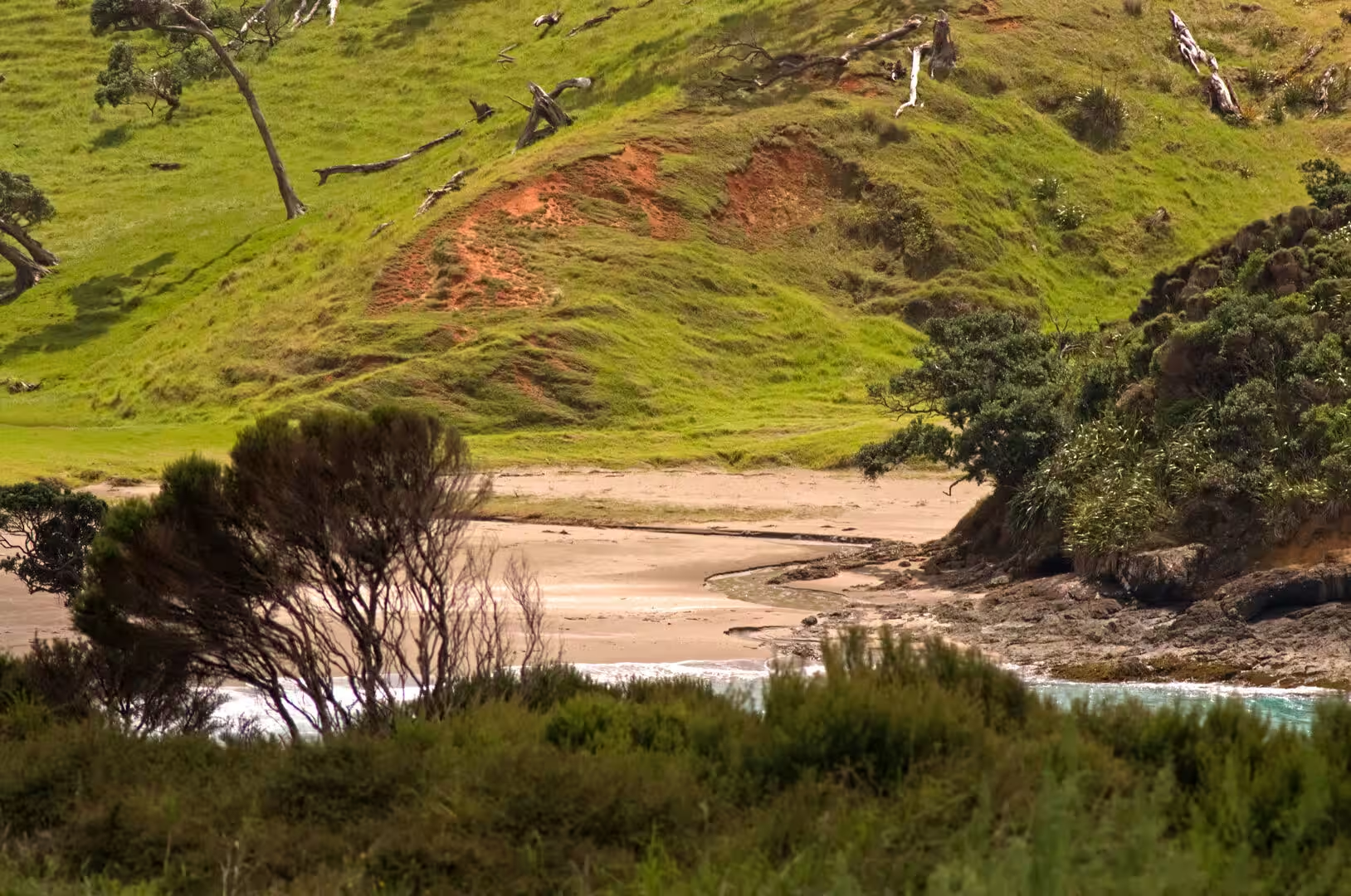
The district’s rocks record a long and complicated history. The hilly country west of Whangārei is built of greywacke and argillite of the Waipapa terrane, hardened sediments laid down on the ocean floor off the old Gondwana margin hundreds of millions of years ago. These basement rocks are overlain in places by Eocene coal measures, which were mined at Kamo, and by Oligocene limestones such as those quarried at Hikurangi and Limestone Island. Over much of the district these older formations are buried beneath the Northland Allochthon, great sheets of Cretaceous-to-Oligocene mudstone, limestone and basalt that were thrust up over the peninsula from the northeast in the early Miocene, between about 24 and 21 million years ago. The soft, clay-rich rocks of these sheets weather readily and slide on steep slopes, producing the bare orange clay slips that scar many pasture hillsides above the estuaries, and the sediment they release is carried down the rivers to silt the harbour, which must be dredged in places.
The early Miocene also brought volcanism. A chain of andesitic volcanoes, the eastern belt of the Northland arc, erupted along the coast between about 22 and 16 million years ago, and the Whangārei Heads are its eroded remains: the headland rocks are mostly andesite and dacite belonging to the Taurikura volcanic complex, which extended offshore to build the Hen and Chicken Islands. Bream Head, the rugged promontory at the outer end of the peninsula, is a dissected Miocene volcano whose andesitic core survives in the high bluff of Te Whara and the neighbouring peak of Mount Lion, and the isolated pinnacle of Mount Manaia is another remnant of the same complex. In the city’s suburbs, Mount Parihaka is a volcanic dome about 20 million years old aligned with the Harbour Fault, which also lines up the older volcanoes of Parakiore near Kamo and of Hikurangi.
Later volcanic activity was more scattered. The Whangārei volcanic field, also known as the Puhipuhi-Whangarei field, produced small eruptions in the late Pliocene and Quaternary, some of them dacitic in composition within the last million years; Northland has no known active faults, and the field is regarded as dormant rather than extinct. The landscape they punctuate is one of deeply weathered, rounded hills, shaped by the warm climate and by long tectonic stability.
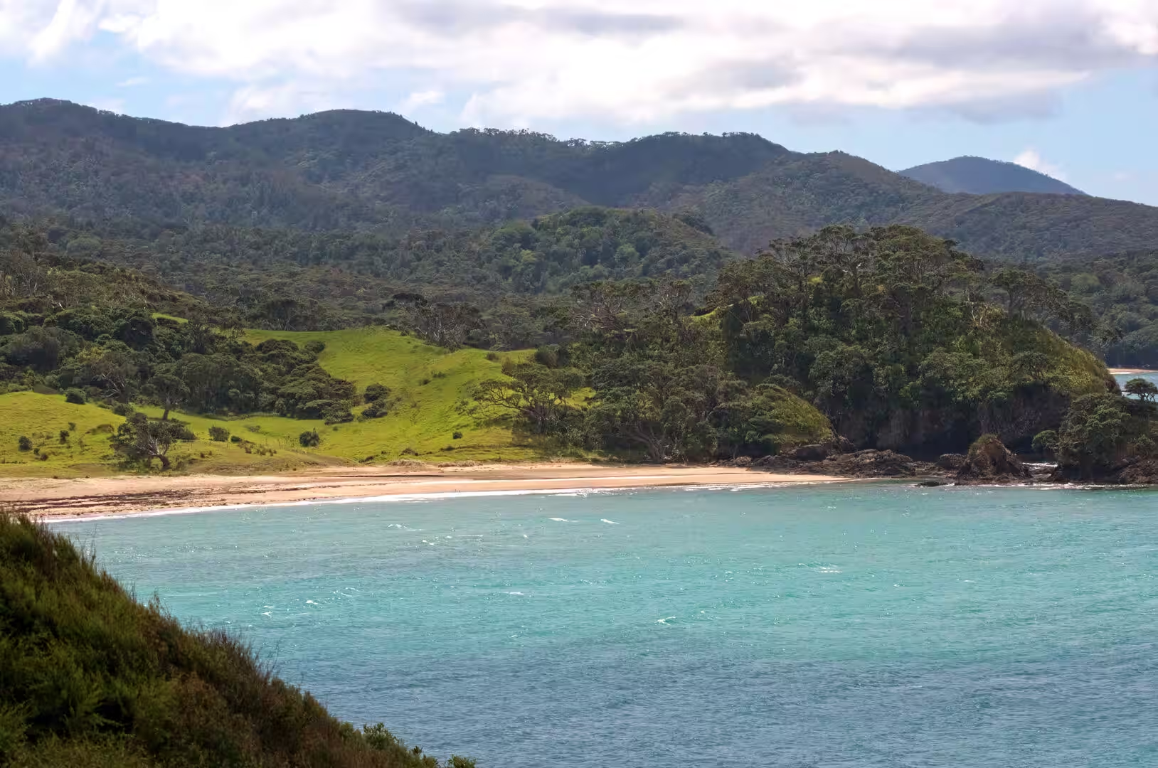
The coast owes its form to the sea. Whangārei Harbour is a drowned river valley, a ria cut by the Hātea and its tributaries during the low sea levels of the last glaciation and flooded as the sea rose to its present level between about 10,000 and 5,000 years ago; standard accounts list it among New Zealand’s classic drowned-valley harbours. The harbour is shallow and heavily tidal, with a range of about two metres, so that wide mudflats and sandbars are exposed at low tide, while the narrow entrance, barely 800 metres wide, is scoured up to 20 metres deep between the volcanic northern headland and the sand-dune barrier spit of Marsden Point on the south. Along the open coast, Bream Bay curves south with long white-sand beaches, while smaller bays to the north trap clear water over pale sand, the turquoise colour of the district’s swimming beaches and estuary sandbars.
Things to See
Whangārei is a compact city whose heart, the Town Basin, is a restored waterfront quarter on the lower Hātea River lined with the marina, cafés and the Whangārei Art Museum. Its dominant new landmark is the Hundertwasser Art Centre with the Wairau Māori Art Gallery, the last authentic building of the Austrian artist and architect Friedensreich Hundertwasser; it opened in February 2022 in the former Northland Harbour Board building and pairs a gallery of his original works with the world’s first gallery dedicated to contemporary Māori art. The Hātea Loop walkway circles the water through the basin, past the marina and over the Te Matau ā Pohe bascule bridge of 2013.
Mount Parihaka, the volcanic dome rising north-east of the city centre, is ringed by the Parihaka Scenic Reserve and reached by road to the summit and by walking tracks through native bush, with views across the whole harbour and its islands. The reserve adjoins Mair Park, named for the early settler family, and forms the green backdrop of the northern suburbs.
Whangārei Harbour is best seen from the water, by kayak or charter boat, threading between the mudflats and the forested peninsulas of the upper harbour. Two marine reserves protect its wildlife: the Whangarei Harbour Marine Reserve in the intertidal area between Onerahi and Waikaraka, and the small reserve around Motukaroro Island off Reotahi, which is popular with snorkellers for its dense marine life. Bottlenose dolphins and orcas enter the harbour regularly, and southern right whales, hunted out of the district long ago, have been returning to it since 2002.
Whangārei Heads, the settlement about 29 kilometres south-east of the city at the harbour entrance, is the starting point for the best coastal walking of the district. Mount Manaia Track climbs the 420-metre pinnacle above Taurikura for the classic view down the harbour, while the Bream Head Scenic Reserve protects the outer peninsula, where the Te Whara Track follows a route at least 700 years old along the ridgeline to the high bluffs of Te Whara. Ocean Beach, a long sandy surf beach on the Pacific side, lies beyond the hills, and the Hen and Chicken Islands are visible about 12 kilometres offshore. McLeod Bay, with its sheltered water and the historic Nova Scotian settlement around it, is the heads’ main swimming beach.
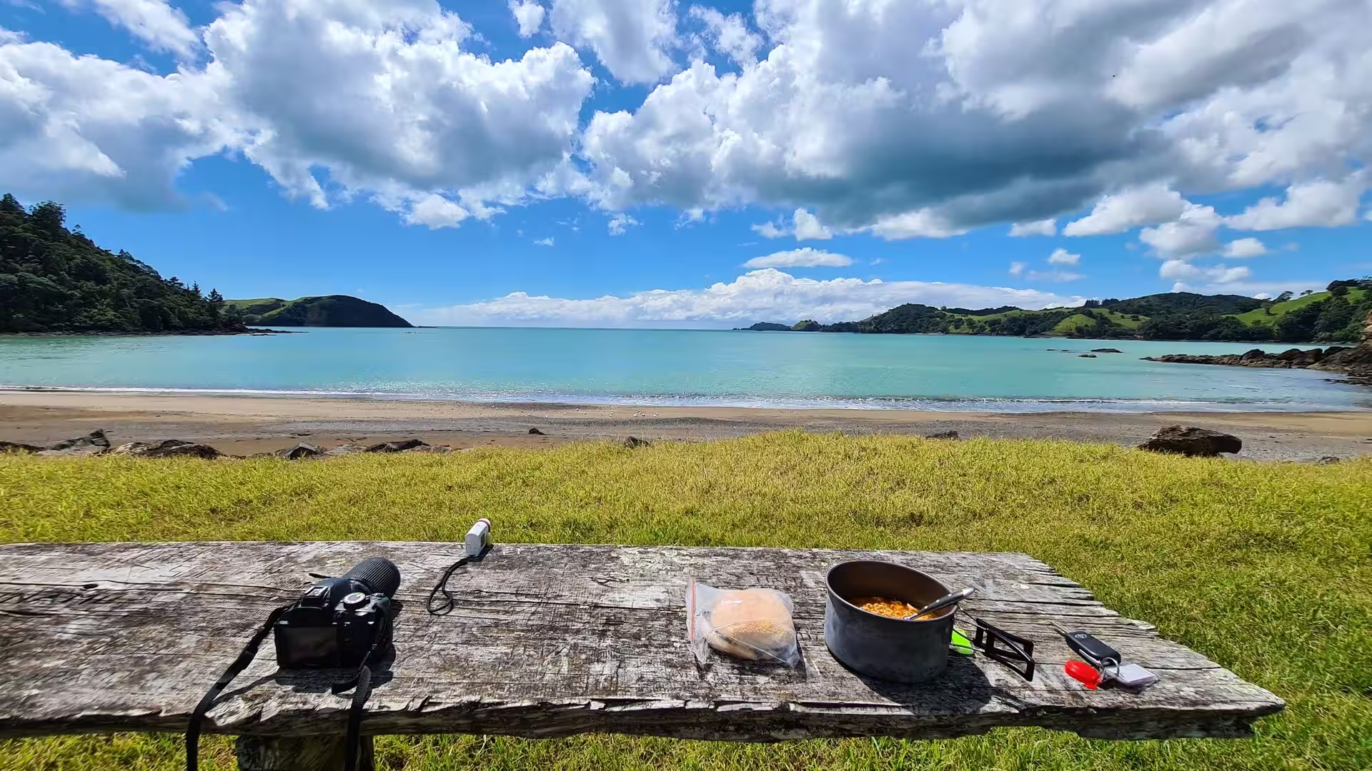
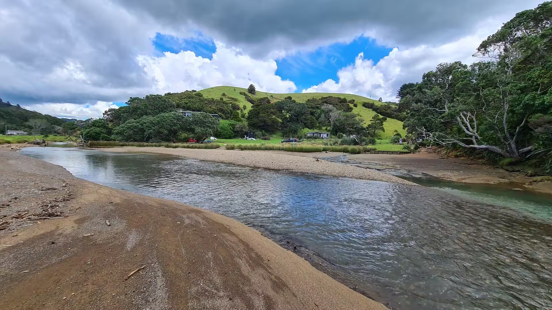
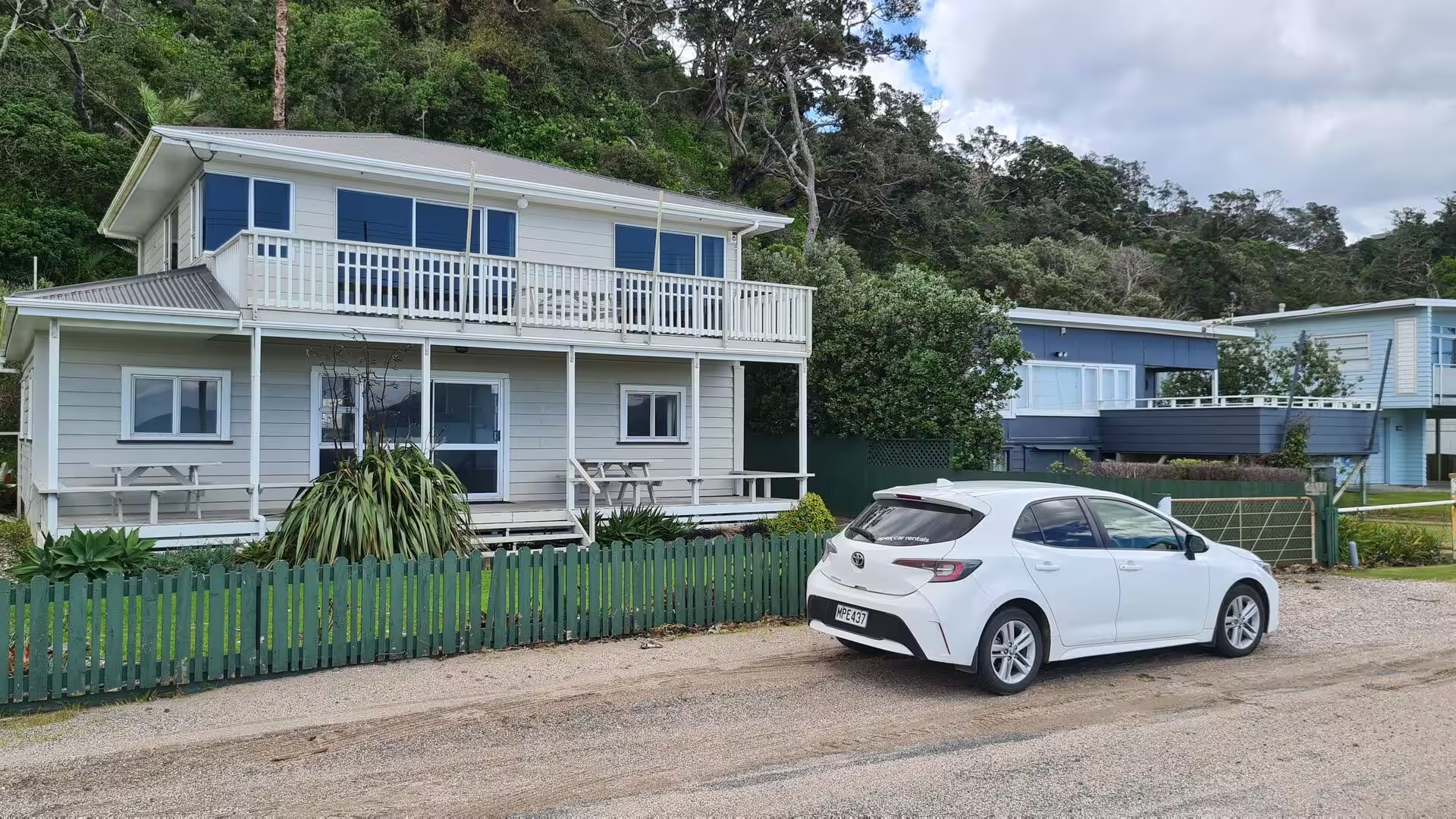
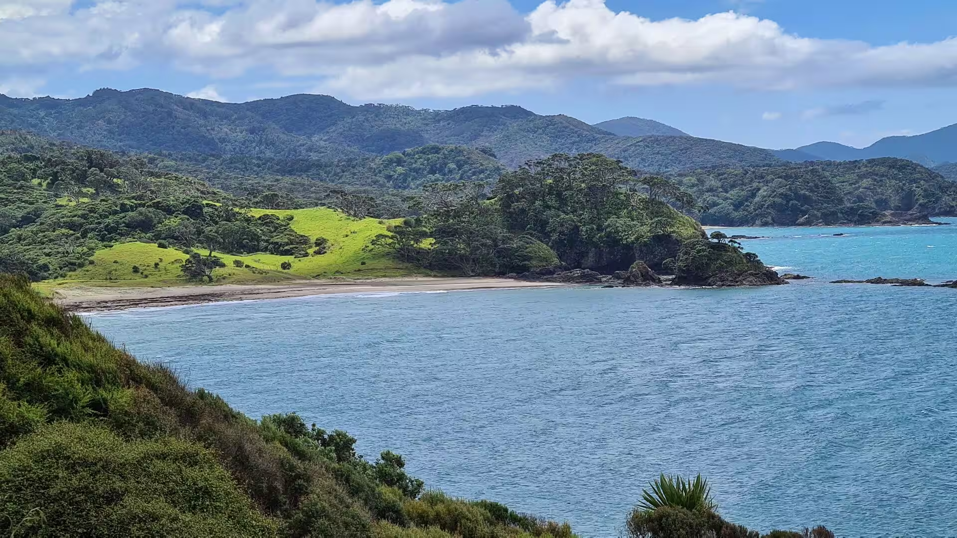
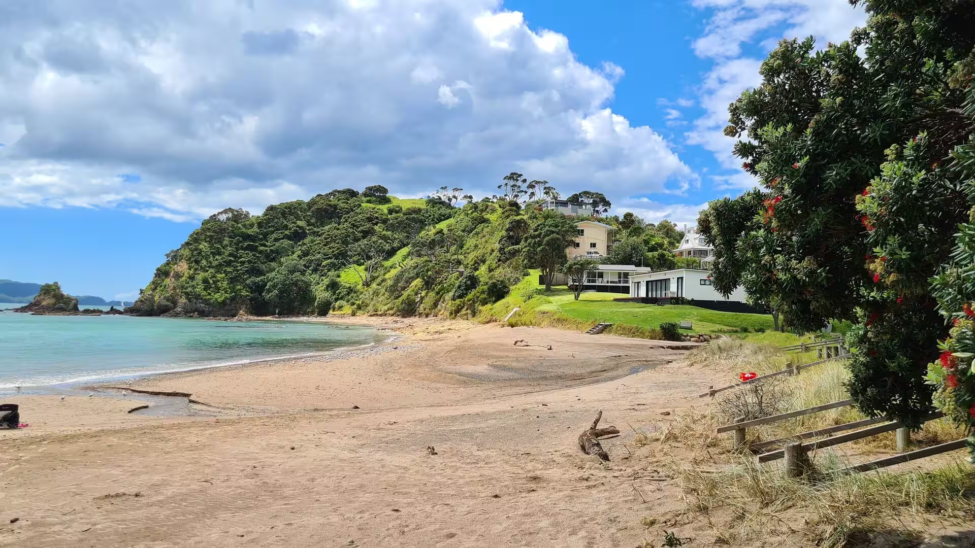
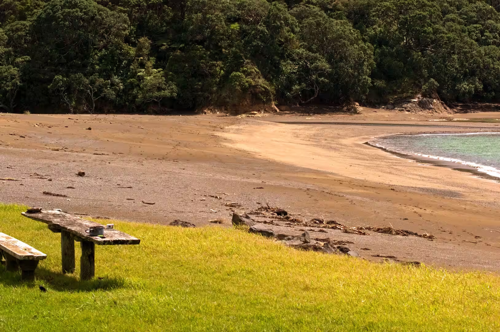
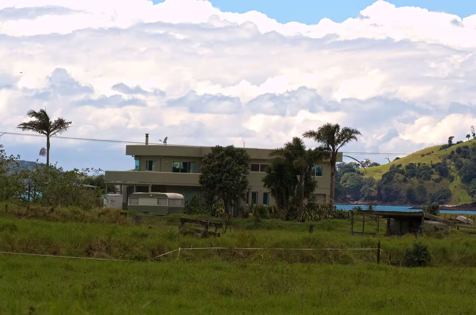
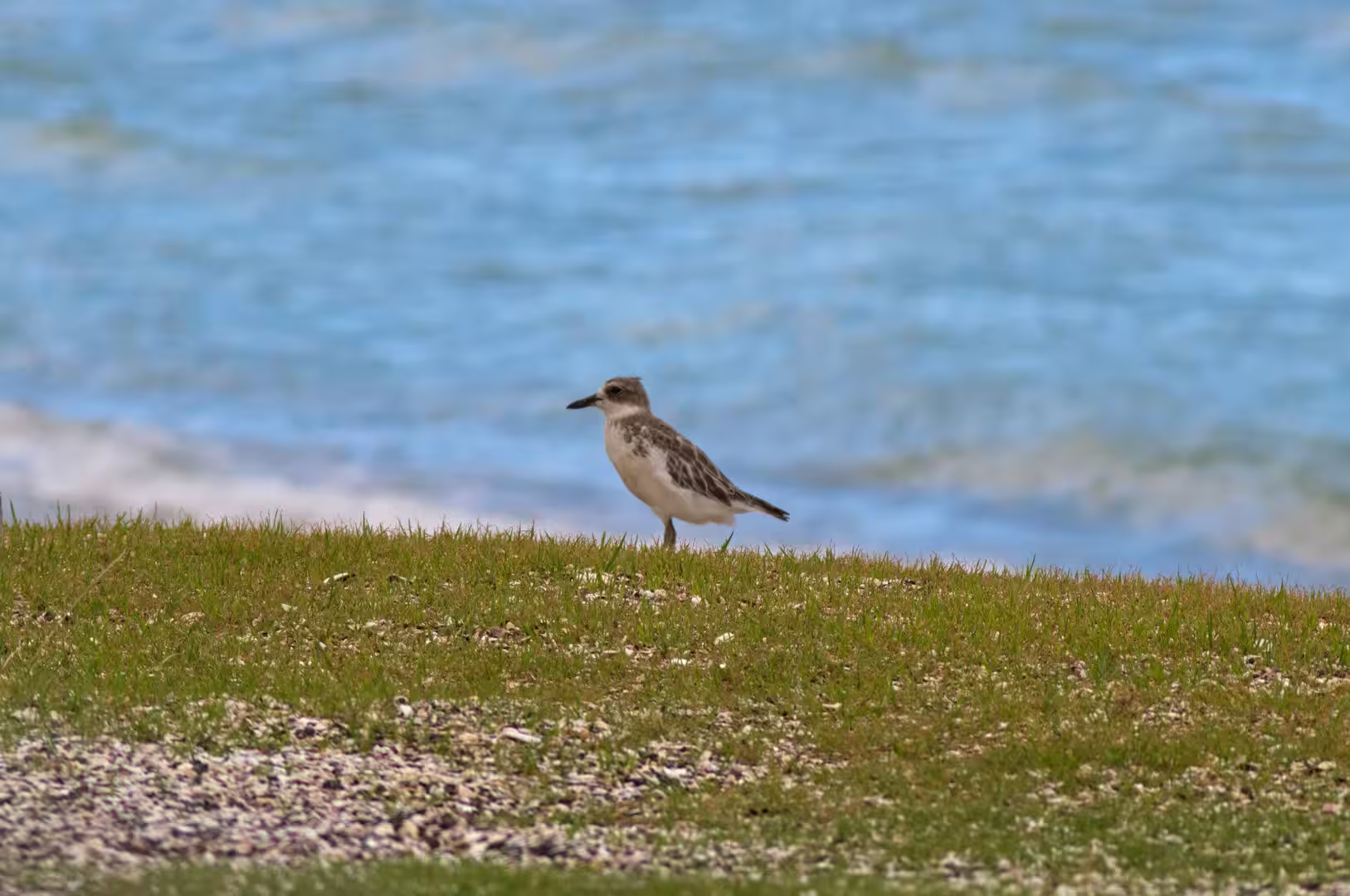
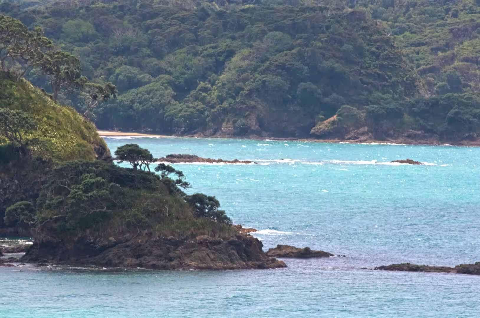
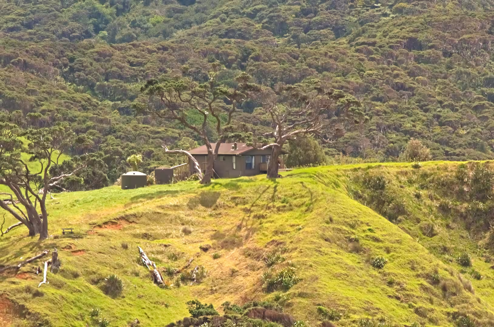
The eastern bays between the harbour entrance and the coast north of Ngunguru, loosely grouped as the Tutukaka Coast, share a familiar pattern: a sheltered cove of startlingly clear turquoise water, a curving pale-sand beach, a grassy bank with picnic tables, and green hills dotted with baches behind. Ngunguru, whose name means “rumbling tides”, spreads around the estuary of the Ngunguru River, where the stream meanders across a wide sandbar at low tide and the long Ngunguru sandspit, bought by the Crown in 2011 and managed by the Department of Conservation, shelters the river mouth; it is among the few sandspits of its kind still relatively intact. Matapouri, 35 kilometres north-east of Whangārei, was described by the district council as “an archetypal Kiwi bach settlement”, with holiday homes making up the great majority of its houses; its bay, framed by green headlands, is among the best-loved beaches of the coast, though the famous Te Wai o Te Taniwha (Mermaid Pool) at its northern end has been closed to visitors since 2019. Tutukaka Harbour, the next inlet north, is the working centre of the coast: a fishing port with a large marina, it is the main gateway for game fishing and for trips to the Poor Knights Islands. The tidal flats and sandbars of these estuaries are good places to watch shorebirds, and the pasture headlands above the bays, with their scattered farmsteads and weathered picnic tables, are characteristic of the district’s unhurried coastal life.
The Poor Knights Islands, lying about 22 kilometres offshore and belonging to the district, are the eroded remnants of an old rhyolitic volcano, uninhabited since the 1820s and protected as a nature reserve surrounded by a marine reserve of the same name. Day boats run from Tutukaka Marina to dive and snorkel the clear subtropical water, where kelp forests, caves and archways teem with fish. Rikoriko Cave, on the western side of the group, is the largest sea cave by volume in the Southern Hemisphere, and the islands host a breeding colony of about 200,000 pairs of Buller’s shearwaters as well as the endemic Poor Knights lily, which flowers nowhere else in the wild.
References
- Parkes, W. F. (1992). Guide to Whangarei City and District. Whangarei: Rossiter Printing.
- Pickmere, Nancy Preece (1986). Whangarei: The Founding Years. Whangarei: Nancy Preece Pickmere.
- Edbrooke, S. W. (2001). Geology of the Whangarei area: Institute of Geological and Nuclear Sciences 1:250 000 geological map 2. Lower Hutt: Institute of Geological and Nuclear Sciences.
- Whangarei: urban geological maps, Geology of New Zealand. www.gns.cri.nz/our-science/land-and-marine-geoscience/geology-of-new-zealand/urban-geological-maps/whangarei-urban/
- Poor Knights Islands Marine Reserve. www.doc.govt.nz/parks-and-recreation/places-to-go/northland/places/poor-knights-islands-marine-reserve/
- Drowned valleys, An Encyclopaedia of New Zealand, 1966. teara.govt.nz/en/1966/drowned-valleys
- Whangārei. en.wikipedia.org/wiki/Whangārei
- Whangarei District. en.wikipedia.org/wiki/Whangarei_District
- Northland Region. en.wikipedia.org/wiki/Northland_Region
- Whangārei Harbour. en.wikipedia.org/wiki/Whangārei_Harbour
- Whangārei Heads. en.wikipedia.org/wiki/Whangārei_Heads
- Bream Head. en.wikipedia.org/wiki/Bream_Head
- Matapouri. en.wikipedia.org/wiki/Matapouri
- Ngunguru. en.wikipedia.org/wiki/Ngunguru
- Poor Knights Islands. en.wikipedia.org/wiki/Poor_Knights_Islands
- Marsden Point. en.wikipedia.org/wiki/Marsden_Point
- Hundertwasser Art Centre. en.wikipedia.org/wiki/Hundertwasser_Art_Centre