
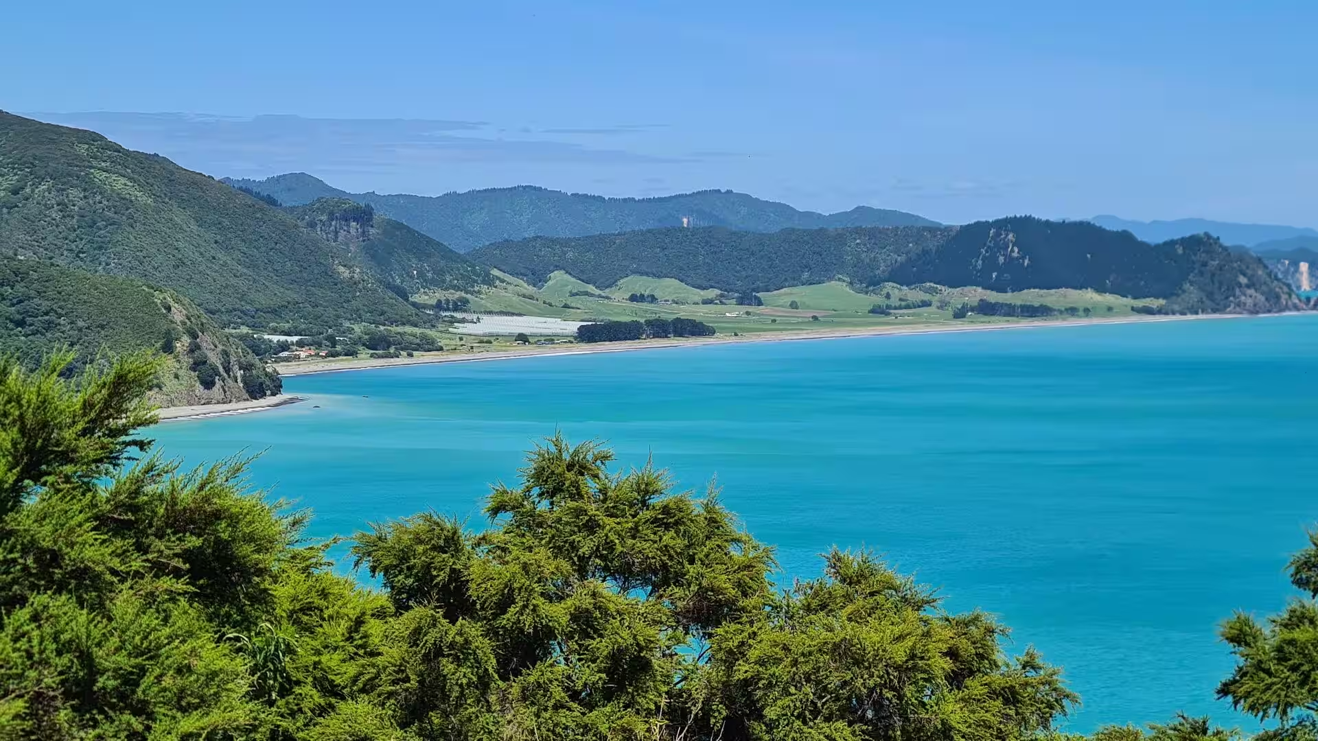
New Zealand
WhenJuly 2023
CountriesNew Zealand
Stages13
Route
Day 2 - Rotorua & Mount Maunganui
18 July 2023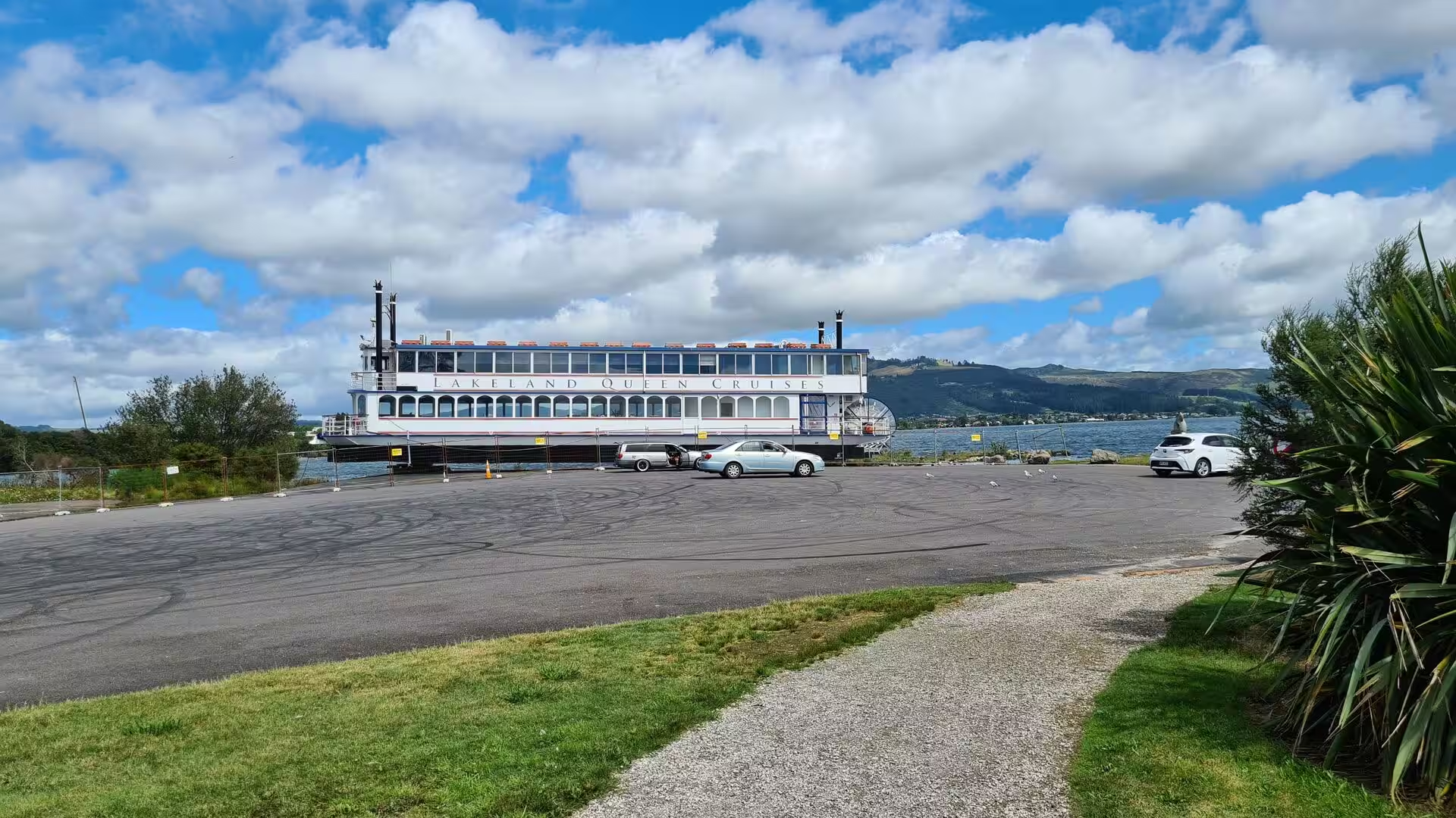
Day 3 - Rotorua
18 July 2023
Day 4 - Around lake Taupo
18 July 2023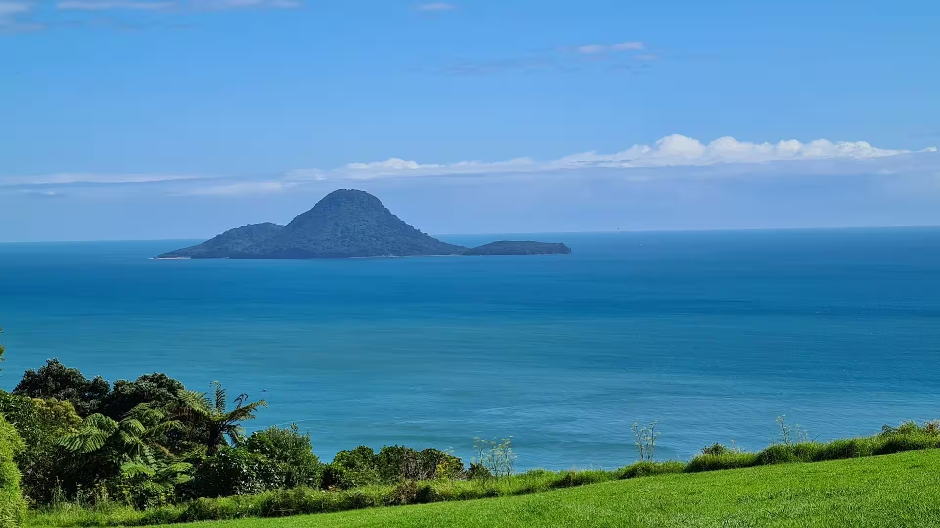
Day 5 - Along the coast to Gisborne
18 July 2023
Day 6 - Gisborne to Himatangi Beach
18 July 2023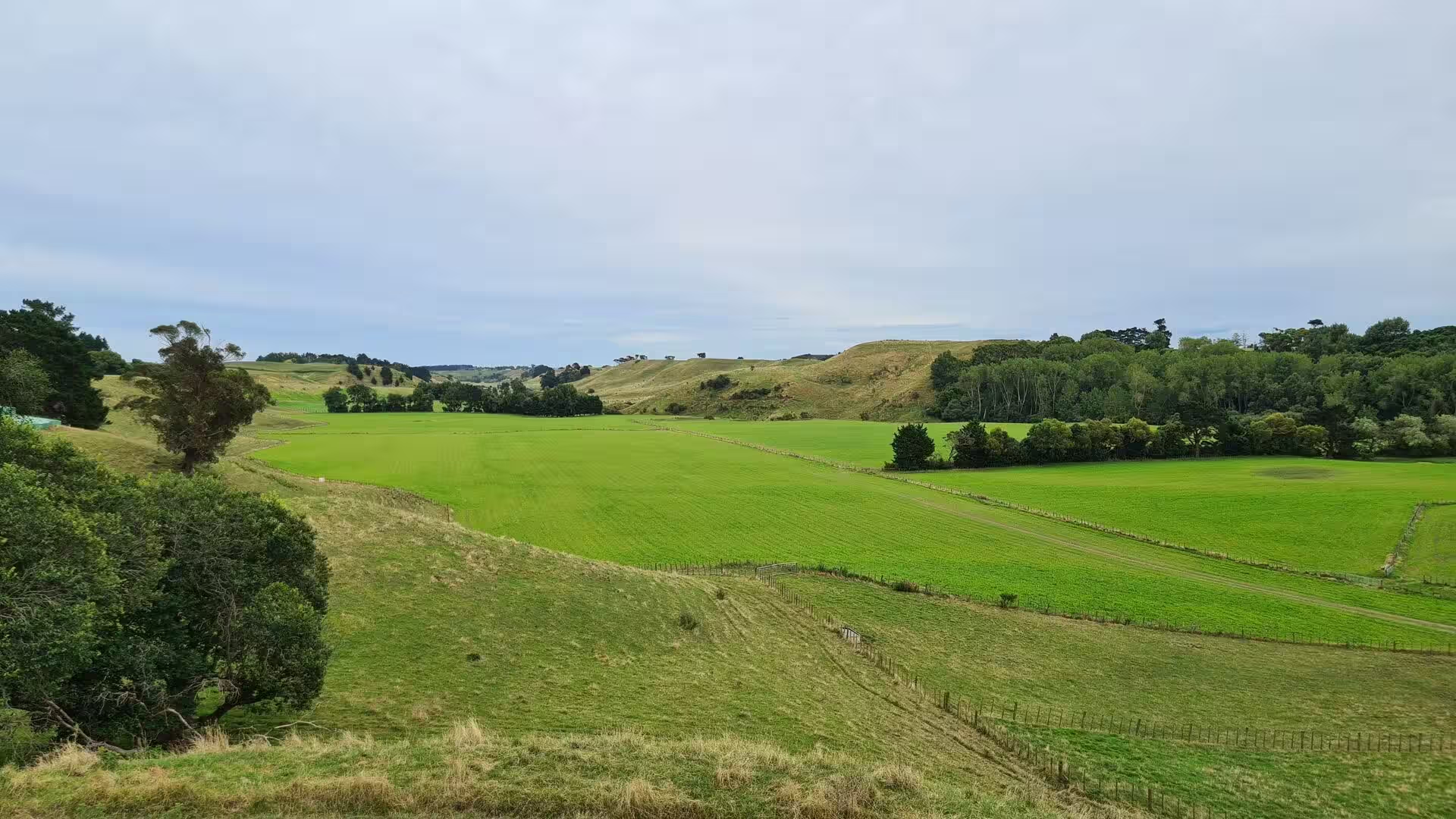
Day 7 - The Forgotten World Highway
20 July 2023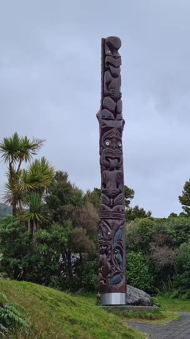
Day 8 - At Mount Taranaki
20 July 2023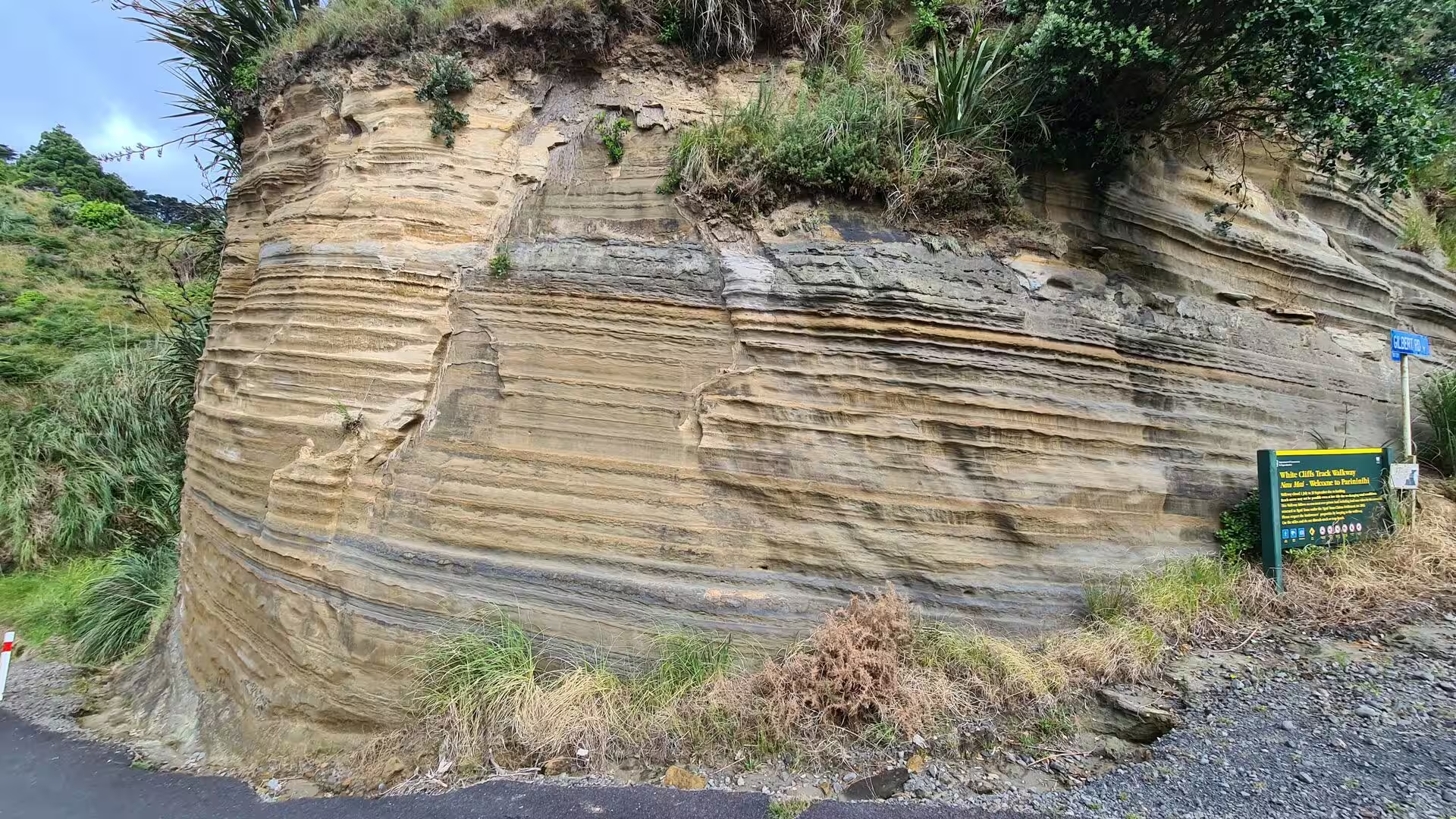
Day 9 - Around New Plymouth
20 July 2023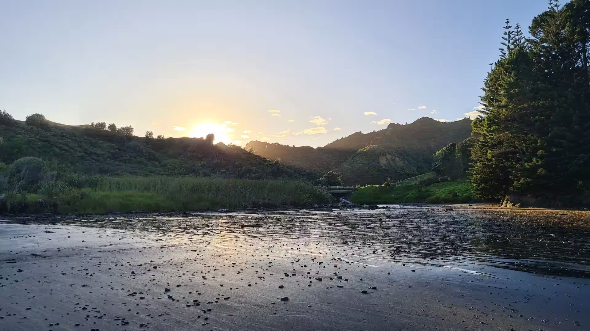
Day 10 - New Plymouth to Whangārei
20 July 2023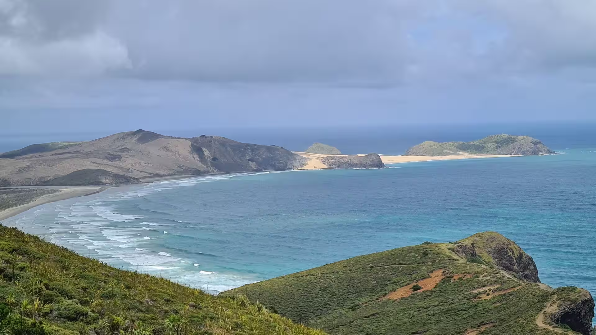
Day 11 - Cape Reinga
20 July 2023
Day 12 - Around Whangārei
21 July 2023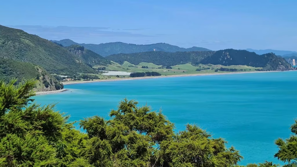
Day 13 - Coromandel Peninsula
21 July 2023Photographs (295)


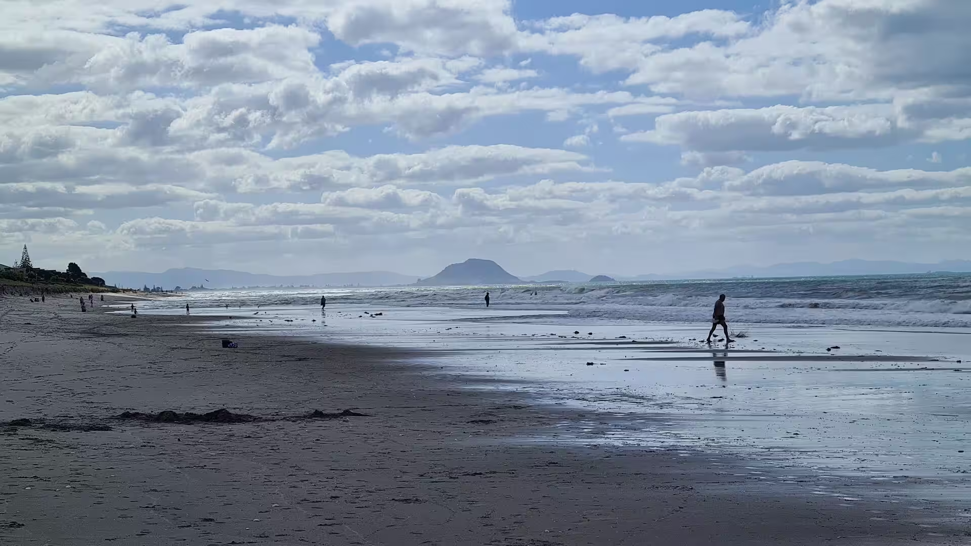
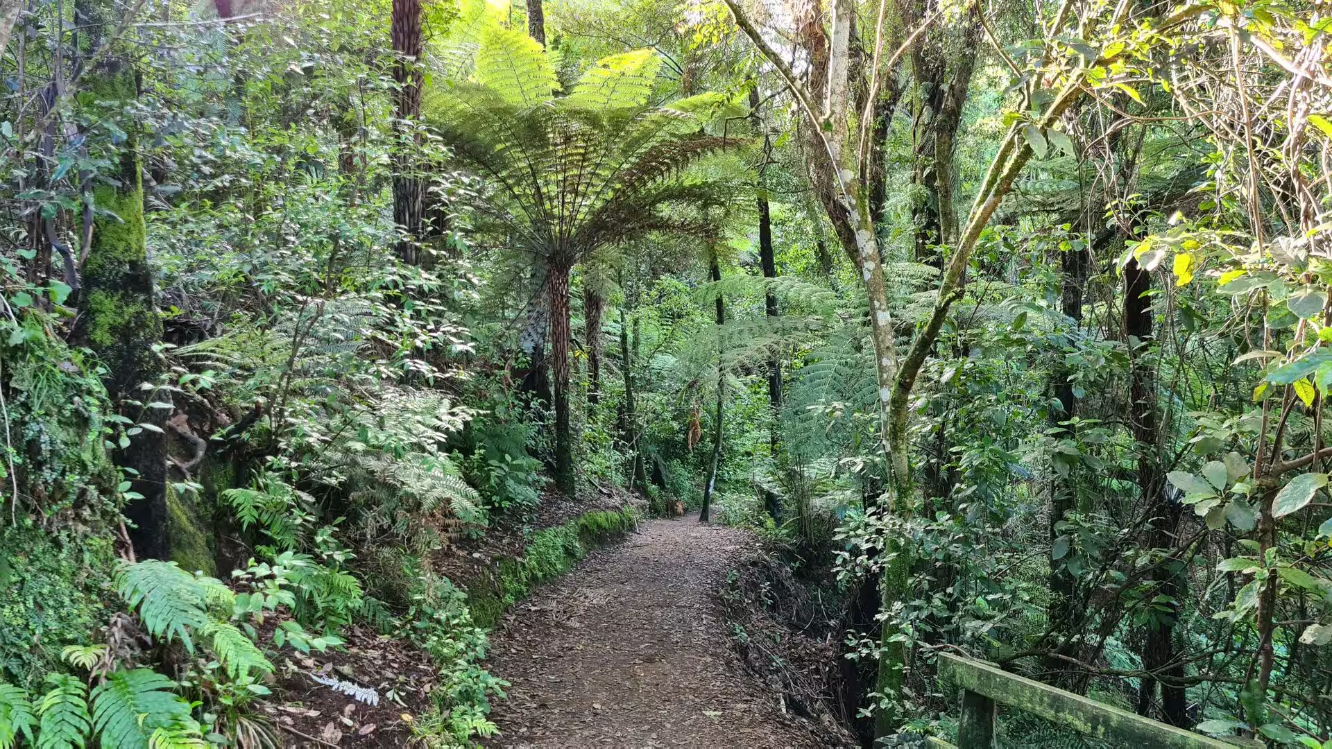
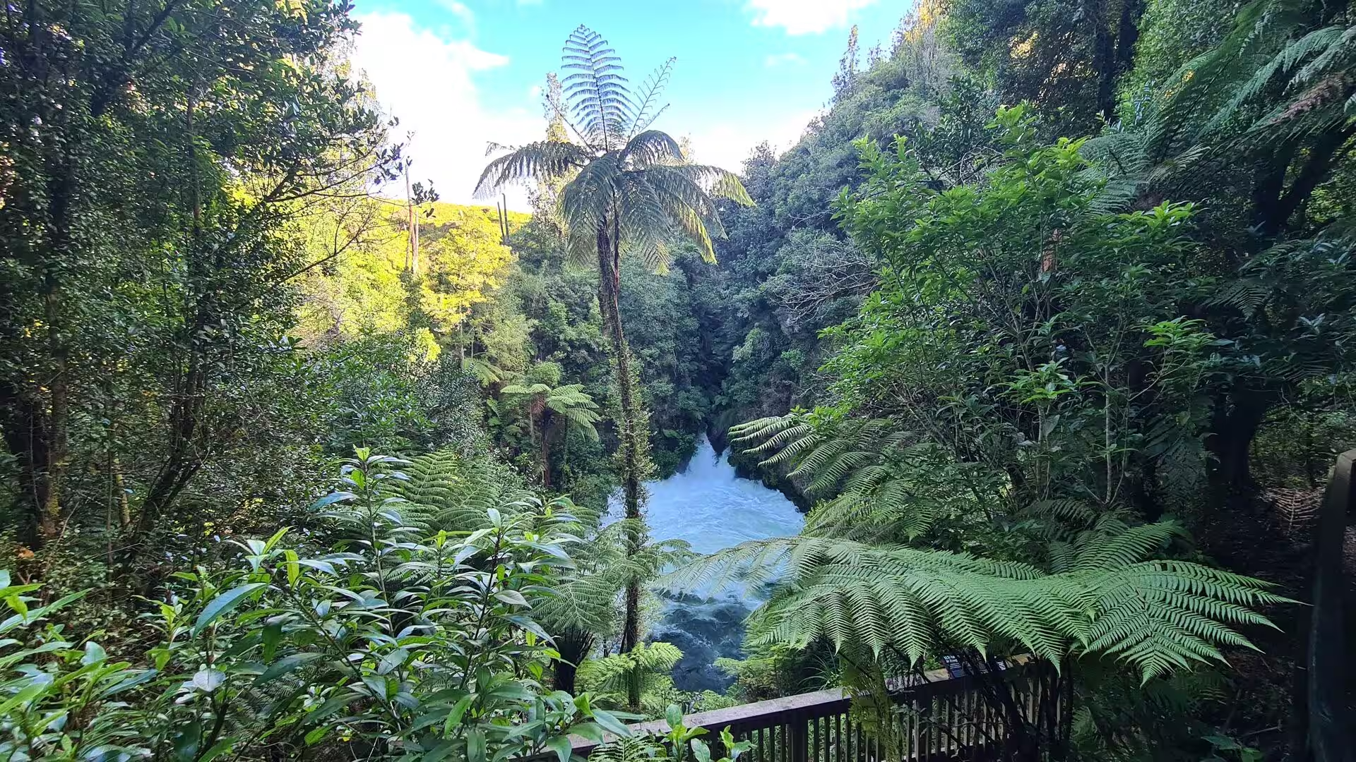
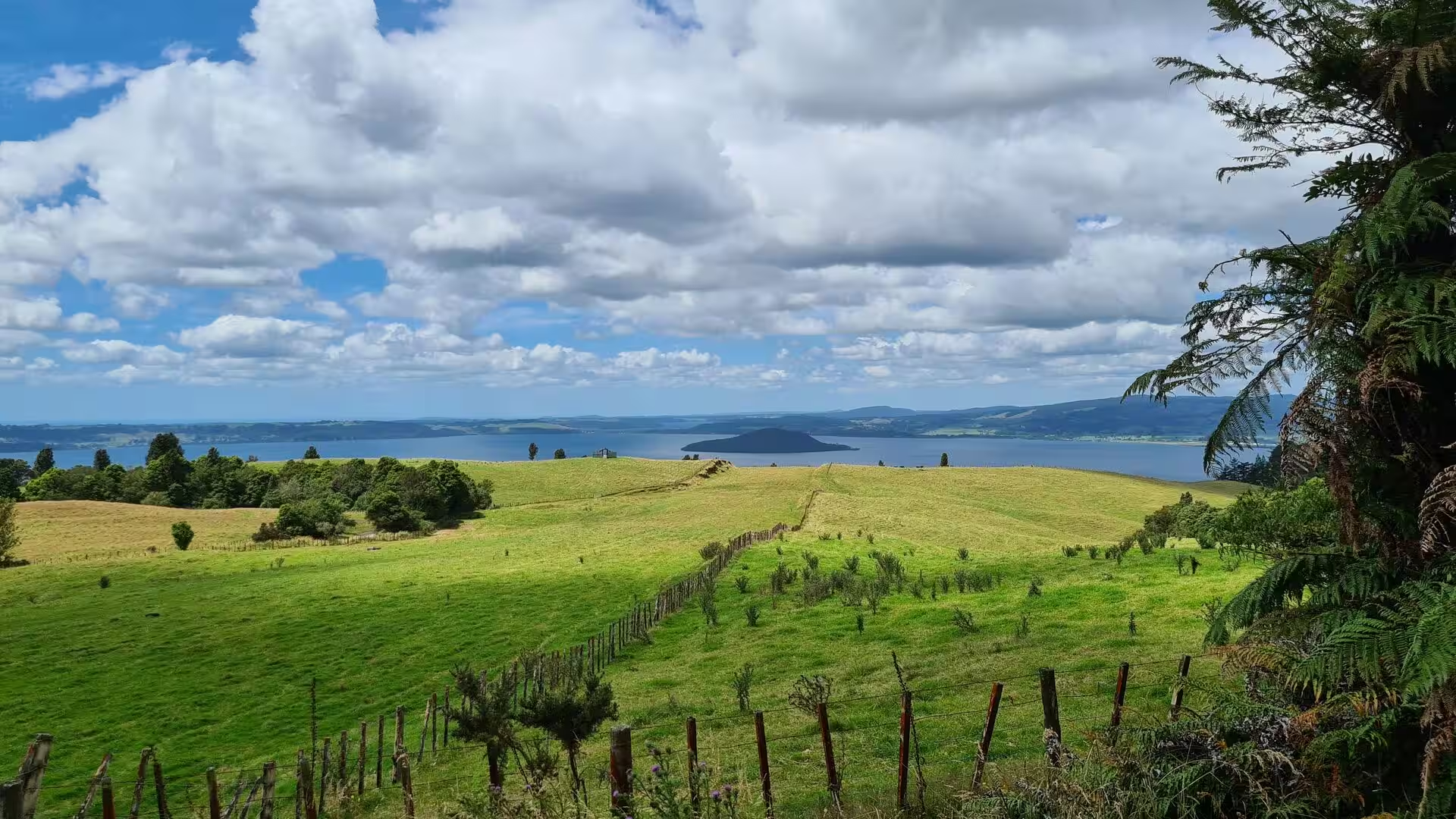




Journal Notes (13)
Day 1 - Rotorua
General Rotorua is a city in the Bay of Plenty Region of New Zealand's North Island, spread along the southern shore of Lake Rotorua, from which it takes its name. The centre sits about 280 metres above sea level on the volcanic plateau of the central North Island, and the built …
Day 2 - Rotorua & Mount Maunganui
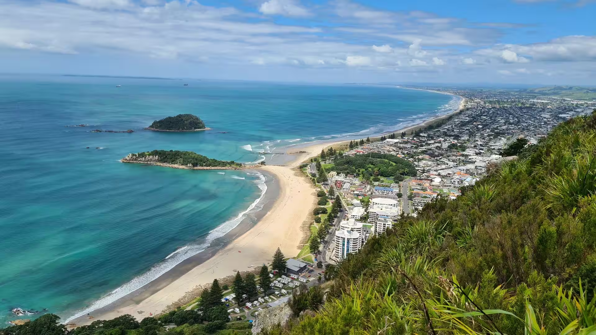
General Mount Maunganui is a coastal town and popular seaside resort on the North Island of New Zealand, at the north-eastern corner of the Bay of Plenty. It grew up as a borough in its own right, but it is today a suburb of the city of Tauranga, the fifth-most-populous city in N …
Day 3 - Rotorua
General Rotorua is a city on the southern shore of Lake Rotorua, in the Bay of Plenty region of New Zealand's North Island. It is the seat of the Rotorua Lakes District, named after the cluster of lakes around the town. The 2023 census counted 55,326 residents, which makes Rotoru …
Day 4 - Around lake Taupo
General Lake Taupō lies in the centre of the North Island of New Zealand, filling the caldera of the Taupō volcano, a large rhyolitic supervolcano that has produced two of the world's most powerful eruptions in geologically recent times. With a surface area of about 616 square ki …
Day 5 - Along the coast to Gisborne
General The East Coast, the north-eastern corner of the North Island of New Zealand, is one of the most isolated and least densely settled regions of the country. East Cape is the easternmost point of the two main islands, and the name is often applied to the whole stretch of the …
Day 6 - Gisborne to Himatangi Beach
General Himatangi Beach is a small coastal community on the west coast of the North Island of New Zealand, in the Manawatū District of the Manawatū-Whanganui region. It lies on the shore of the Tasman Sea, roughly 32 kilometres west of Palmerston North, at the end of a road that …
Day 7 - The Forgotten World Highway
General State Highway 43, better known as the Forgotten World Highway, runs for 148 kilometres between Stratford, an inland town of the Taranaki region, and Taumarunui, a small service centre of the southern King Country that stands on the Whanganui River. The highway took its pr …
Day 8 - At Mount Taranaki
General Mount Taranaki stands on the western coast of the North Island of New Zealand, where the rolling dairy pastures of the Taranaki region meet the Tasman Sea. The mountain is a solitary volcanic cone of 2,518 metres, its near-perfect symmetrical shape rising abruptly from th …
Day 9 - Around New Plymouth
General New Plymouth is a coastal city on the west coast of New Zealand's North Island and the principal urban centre of the Taranaki region. Its Māori name is Ngāmotu, and it faces the Tasman Sea across a wide bay ringed by green hills. The New Plymouth urban area had a populati …
Day 10 - New Plymouth to Whangārei
GeneralNew Plymouth and Whangārei stand roughly 500 kilometres apart by road, at the southern and northern ends of a corridor that crosses the western North Island of New Zealand. From the coast of the North Taranaki Bight the highway runs north beside the sea, then cuts inland t …
Day 11 - Cape Reinga
General Cape Reinga, officially named Cape Reinga / Te Rerenga Wairua, is a rocky headland at the north-western tip of the Aupouri Peninsula, the long sand peninsula that forms the northern end of the North Island of New Zealand. The cape lies roughly 100 kilometres north of Kait …
Day 12 - Around Whangārei
General Whangārei is the northernmost city of New Zealand and the principal centre of the Northland Region. It stands at the inner end of a large harbour of the same name on the east coast of the Northland Peninsula, where the Hātea River enters the sea, and its suburbs now sprea …
Day 13 - Coromandel Peninsula
General The Coromandel Peninsula is a long, rugged promontory on the east coast of New Zealand's North Island, projecting roughly 85 kilometres northwards from the western end of the Bay of Plenty and measuring up to 40 kilometres across at its widest point. It separates the Haur …