Day 8 - At Mount Taranaki
20 July 2023

Journal Notes
General
Mount Taranaki stands on the western coast of the North Island of New Zealand, where the rolling dairy pastures of the Taranaki region meet the Tasman Sea. The mountain is a solitary volcanic cone of 2,518 metres, its near-perfect symmetrical shape rising abruptly from the surrounding plain to dominate the skyline of the whole region. Its isolation is as remarkable as its form: the nearest comparable mountains of the central North Island lie far to the east, so the peak towers alone above the lowlands, a landmark for shipping and for the farmers, towns and surf beaches spread out beneath it. Only Ruapehu, on the central volcanic plateau, is higher on the North Island.
Mount Taranaki is the core of the national park that surrounds it, created in 1900 as Egmont National Park and renamed Te Papa-Kura-o-Taranaki, “the highly regarded and treasured lands of Taranaki”, in 2025. The park boundary runs in an almost perfect circle of about ten kilometres radius around the summit, taking in some 340 square kilometres of forested mountain and, to the north, the older, worn-down volcanic remnants of the Pouākai and Kaitake ranges. Because the boundary follows the mountain so closely, the protected area looks from the air like a great green island floating in a sea of farmland.
The region takes its name from the mountain, and its settlements ring the cone at a respectful distance: New Plymouth, the largest city, lies to the north, with Inglewood, Stratford, Opunake and Hawera spaced around the foot of the peak. Intensive dairy farming extends right to the park fence, so the transition from open pasture to dense native forest is startlingly abrupt, a contrast that is one of the defining sights of the region. Sealed roads climb onto the lower slopes on three sides, and numerous side roads and walking trails lead in from the farmland edge.
The mountain generates its own weather. Moist westerlies from the Tasman Sea are forced upwards over the cone, producing some of the highest rainfall in New Zealand: from about 1,500 millimetres a year near the coast to more than 7,000 millimetres on the upper forested slopes, with heavy falls possible in any season. Conditions change within hours, and the upper mountain is frequently wrapped in cloud while the lowlands stay clear. The warmth and humidity of the lower slopes support a lush temperate rainforest, while the summit, bare of vegetation and often snow-covered in winter, rises more than 2,000 metres above it, compressing into one short climb the climatic range of a journey of thousands of kilometres elsewhere.
Rivers radiate from the cone in every direction, cutting deep valleys into its flanks and watering the ring plain below. The mountain is the symbolic heart of the region: sacred to the Māori tribes of Taranaki, a constant presence in daily life, and protected today as one of New Zealand’s oldest and most distinctive national parks.
History
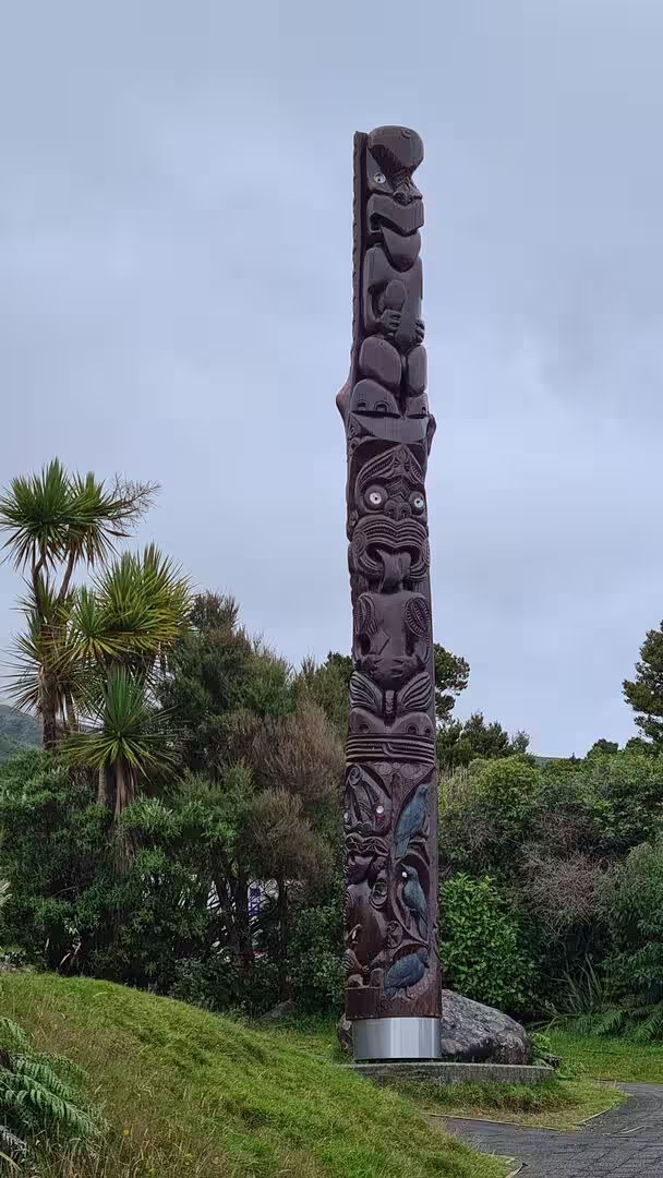
For the Māori people of Taranaki the mountain is not a landmark but an ancestor. The name Taranaki is said to come from Rua Taranaki, an early ancestor of the iwi (tribe) called Taranaki, one of several tribes of the region, and the traditional lands of Te Āti Awa, whose territory runs inland from the coast north of New Plymouth, extend to the mountain itself. The peak was tapu, sacred, and in pre-European times was not climbed; the summit remains tapu today, and local iwi ask visitors not to stand on the highest point.
The mountain appears in one of the best-known stories of Māori mythology. According to tradition, Taranaki, then known as Pukeonaki, once lived in the centre of the North Island beside the mountains Ruapehu, Tongariro and Pīhanga. Taranaki and Tongariro both loved the beautiful Pīhanga, and in the battle that followed Tongariro was victorious, wounding Taranaki and driving him away. Taranaki fled westwards, carving the deep valley of the Whanganui River as he went, pausing to rest where the Ngaere swamp now lies, and pressing on until the Pouākai range blocked his path. As the sun rose he was turned to stone where he now stands, facing the sea; when cloud covers his summit he is said to be weeping for his lost love, and when Tongariro erupts it is taken as a warning to Taranaki not to return.
European knowledge of the mountain began with Captain James Cook, who sighted it from HMS Endeavour on 11 January 1770 and named it Mount Egmont after John Perceval, second Earl of Egmont, a former First Lord of the Admiralty and a supporter of the search for the southern continent. Cook noted its “prodigious height”, the summit covered in snow above a country “clothed with wood”. The French explorer Marion du Fresne saw the peak independently in March 1772, and the mountain appeared on charts as Mount Egmont for more than two centuries.
The first recorded ascent came in 1839, when the whaler James Heberley and the naturalist Ernst Dieffenbach, who was surveying the country for the New Zealand Company, climbed to the summit. European settlement followed rapidly: New Plymouth was founded in 1841, and settlers felled and burned the great podocarp forests of the ring plain for pasture, a clearance so thorough that almost nothing of the lowland forest survived outside the mountain reserves. Land grievances over disputed purchases fuelled the First Taranaki War of 1860 and intermittent fighting through the 1860s, longer than anywhere else in New Zealand, and in 1865 the Crown confiscated the mountain and large areas of tribal land as punishment. The Waitangi Tribunal found in 1996, in its report Kaupapa Tuatahi, that the confiscations breached the Treaty of Waitangi.
Conservation came as a reaction to the destruction of the forest. In 1881 all land within a six-mile (9.6 kilometre) radius of the summit was set aside as a forest reserve, and after campaigning by the Taranaki Scenery Reservation Society the Egmont National Park Act of 1900 created the second national park in New Zealand, after Tongariro, together with the country’s first national park board. Roads, huts and tracks were built, and the park was a tourist destination from the start. It was governed by its own board until 1977 and is managed today by the Department of Conservation.
The mountain’s name has itself been the subject of a long reconciliation. In 1986 the official name became “Mount Taranaki or Mount Egmont”, and in December 2019 the Crown and the collective of Taranaki tribes known as Ngā Iwi o Taranaki agreed that the mountain should be known simply as Taranaki Maunga. The Taranaki Maunga Collective Redress Act, passed in early 2025, gave the mountain and the national park legal personality, the third geographic feature of New Zealand to receive such status after Te Urewera and the Whanganui River, and the Crown apologised to the eight tribes of the region for the confiscations. From April 2025 the official names of the peak and the park are Taranaki Maunga and Te Papa-Kura-o-Taranaki, managed jointly by iwi and Crown representatives.
Geology
Mount Taranaki is a stratovolcano, a steep cone built of countless layers of lava, ash and fragmented rock, and its magma is andesitic, the typical product of a volcanic arc above a subducting plate. It is the youngest and largest of a chain of volcanoes that has marched southwards across the Taranaki region over the past 1.75 million years at an average rate of about three centimetres a year: the lava plugs of Paritutu Rock and the Sugar Loaf Islands at New Plymouth date from the start of the sequence, the Kaitake range was active more than 500,000 years ago, and the Pouākai range only ceased erupting about 210,000 years ago. Mount Taranaki itself began to grow roughly 200,000 years ago, which makes the present cone geologically young. A subsidiary cone, Fanthams Peak, interrupts the smooth outline on the southern flank.
The eruption record of the last 9,000 years shows minor eruptions on average every 90 years and major eruptions every 500 years or so, with more than 130 eruptions during the Holocene alone. The last major eruption took place around 1655, when the Burrell eruption showered the eastern slopes with pumice and scoria; a moderate ash eruption followed about 1755, a pyroclastic flow swept down the north-eastern flank between 1755 and 1800, and the most recent volcanic activity was the growth and collapse of a lava dome in the crater in the 1850s or 1860s. The Smithsonian Institution’s Global Volcanism Program dates the last eruption of the volcano to 1854. The mountain is classed as dormant rather than extinct, it is closely monitored, and volcanologists consider a future eruption likely within the next few hundred years.
Because the cone is so young and so frequently active, collapse has shaped its surroundings as much as eruption. The volcano has suffered at least five major flank collapses, an unusually large number for a single mountain, and the resulting debris avalanches and lahars, torrents of volcanic mud and rock, have built a broad ring plain that extends many kilometres from the summit and continues offshore beneath the sea floor. Lahars are the most serious hazard the mountain poses today, since heavy rain can mobilise the loose volcanic material on the steep slopes at any time. The young soils of the ring plain, formed from pyroclastic flows, pumice and ash over the past few thousand years, are deep and famously fertile, which is why the farmland around the mountain is among the most productive dairying country in New Zealand, but they are loose, weakly structured and prone to erosion wherever the forest cover is removed.
Rainfall is the great sculptor of the present landscape. The immense annual precipitation, much of it falling on the upper forest, drives rapid erosion, deepens the radial gullies into steep-sided gorges, feeds the rivers that cross the ring plain, and continually strips soil from the slopes only for new volcanic material to replace it. The mountain is thus a landscape in a hurry: a young volcano, a freshly built plain, and a forest that is constantly recolonising ground disturbed by eruptions, landslides and floods.
Things to See
Mount Taranaki is the sight around which the whole region arranges itself. Its symmetry, unusual among the world’s great volcanoes, invites comparison with Mount Fuji, and on clear days the snow-streaked cone appears to float above the green ring plain, visible from the beaches of the west coast and from the streets of New Plymouth. More often the summit makes its own weather, a cap of cloud forming and dissolving above the forest while the lower slopes stay fine, so that the mountain seems to change shape from hour to hour. The summit itself is sacred ground, and visitors who climb are asked to stop below the highest point, but the drama of the peak can be enjoyed from countless points around its base, where the forested cone rises without foothills straight from the pasture.
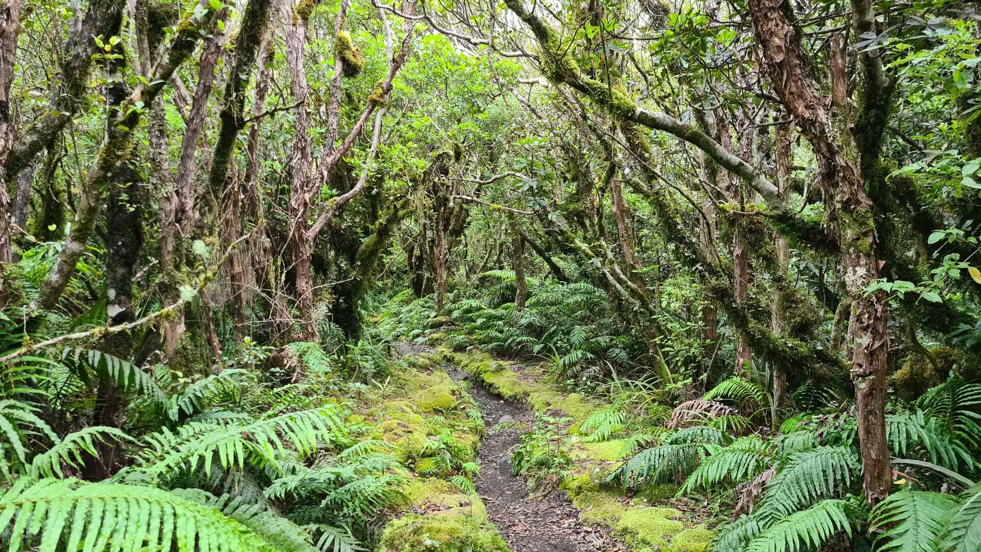
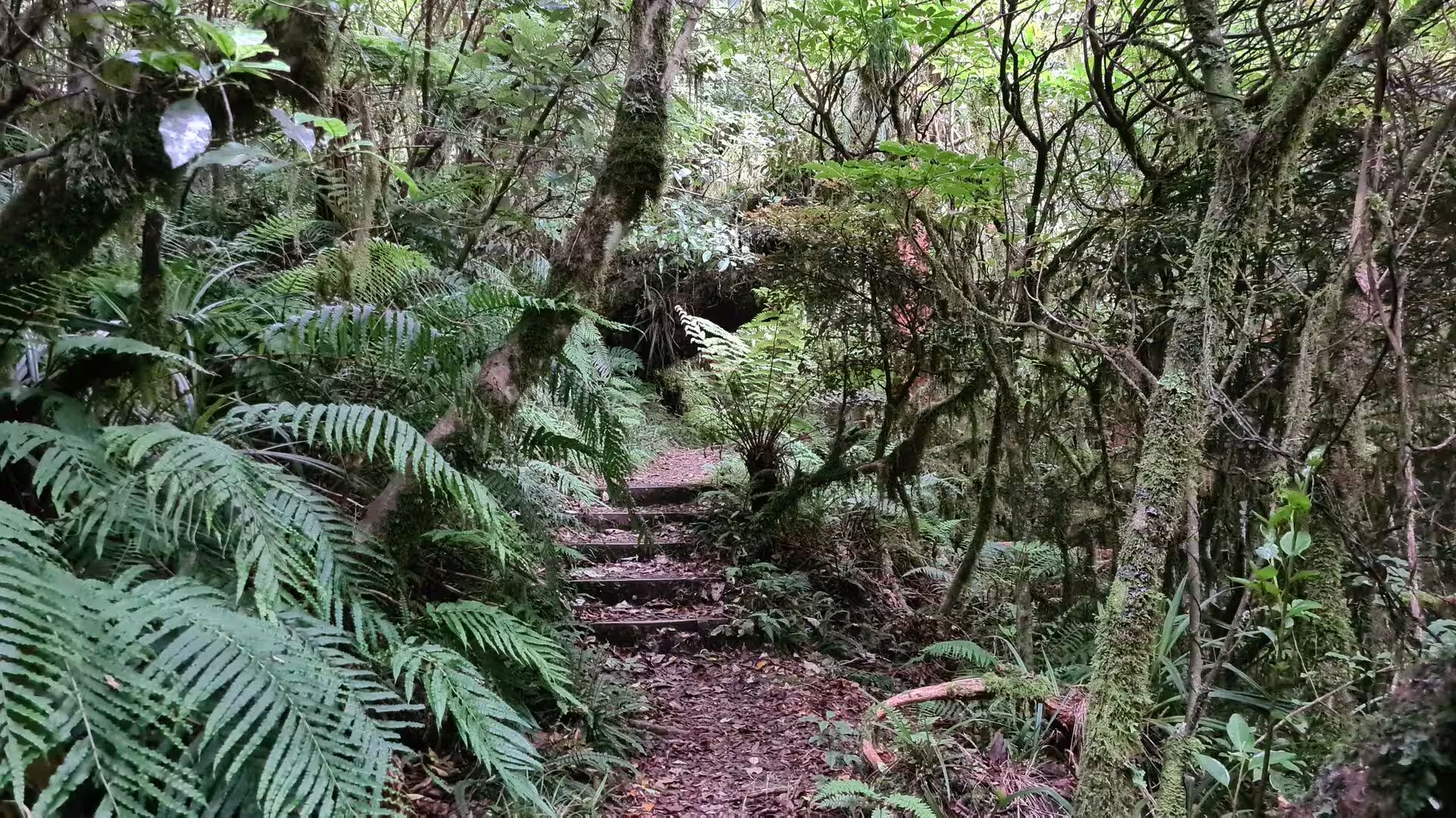
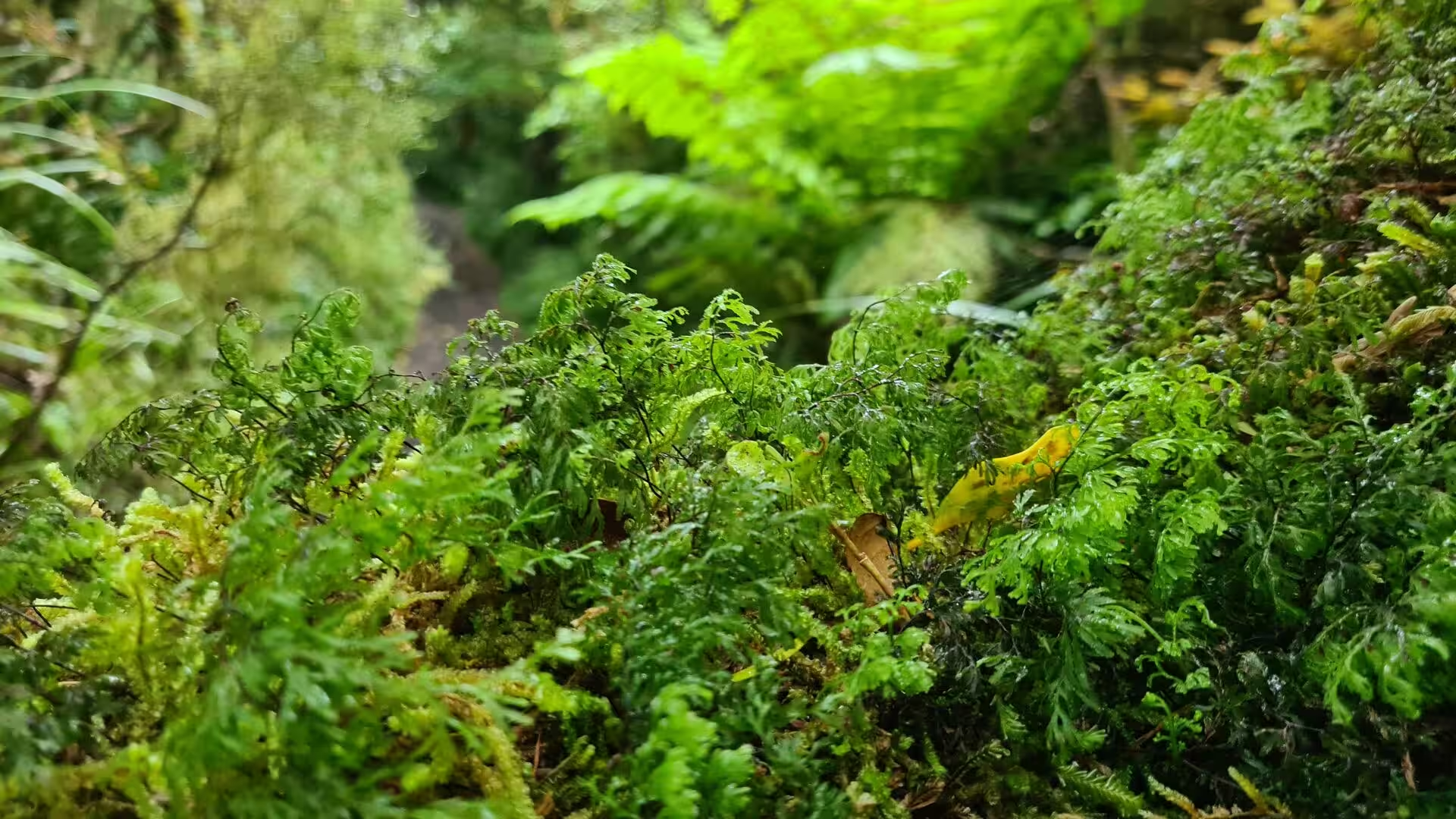
The rainforest of the national park is the real subject of the mountain’s lower slopes. Because the cone stands alone in the path of the wet westerlies, its forest is extraordinarily lush, a temperate rainforest in which tall rimu and northern rātā emerge above a dense canopy of kāmahi and other broadleaf trees. Remarkably for New Zealand, the forest contains no beech trees at all. The understorey is a world of ferns, above all the crown fern, whose spreading green fronds carpet the forest floor, and the damp, dim interior, hung with moss and loud with dripping water, is one of the most atmospheric forest landscapes in the country. Around the edges of the bush, cabbage trees and flax mark the transition to the open farmland beyond the park fence. The forest shelters threatened birds such as the North Island brown kiwi and the fernbird, and nearly half of New Zealand’s native freshwater fish species occur in the park’s rivers and streams.
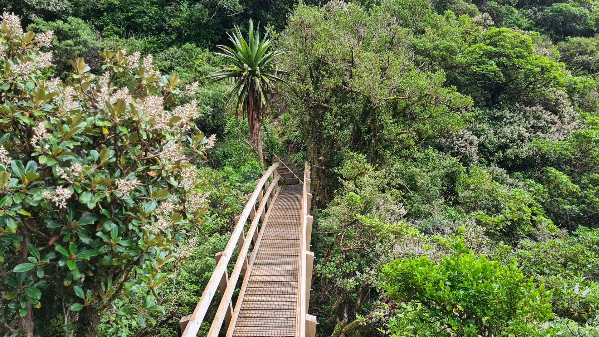
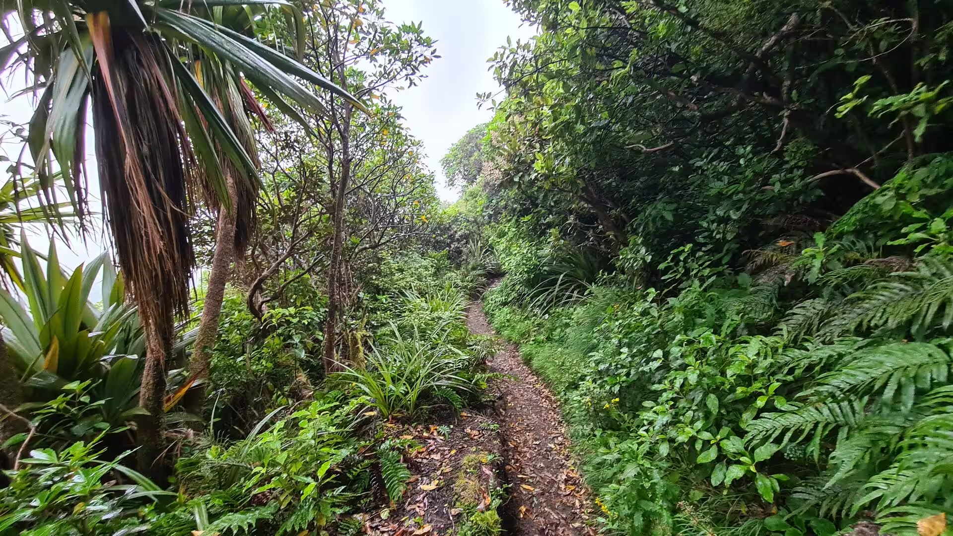
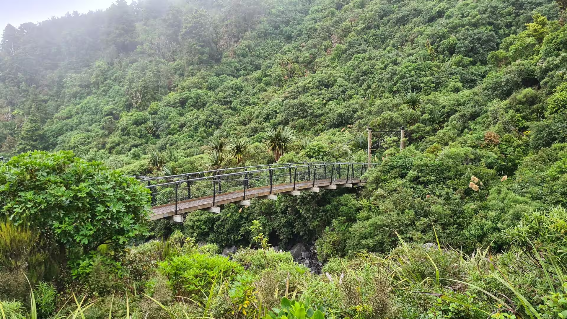
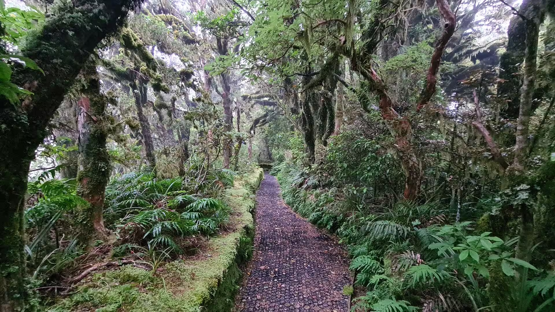
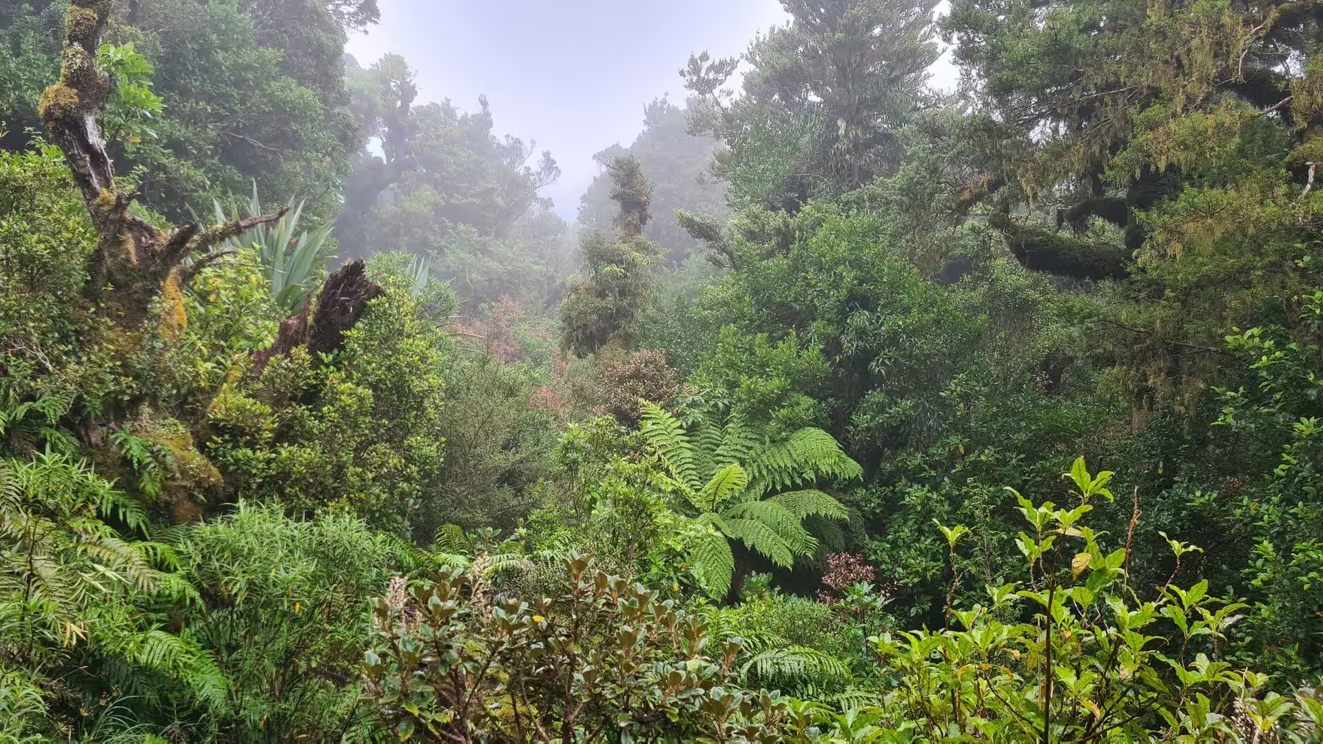
The forest tracks climb the flanks through every kind of green. Well-formed trails, often surfaced with timber steps and long boardwalks, cross the boggy flats and spring-fed hollows where the ground never dries out, and swing bridges carry walkers high above steep-sided gullies where streams have cut deep into the soft volcanic slopes. The paths thread between moss-draped trunks and walls of tree ferns, past clearings where the canopy opens, and along ridges where the forest falls away into misty, fern-clad valleys below. Water is never far away: dozens of streams and waterfalls pour down the radial gullies, and the constant damp keeps the tracks soft and green throughout the year.
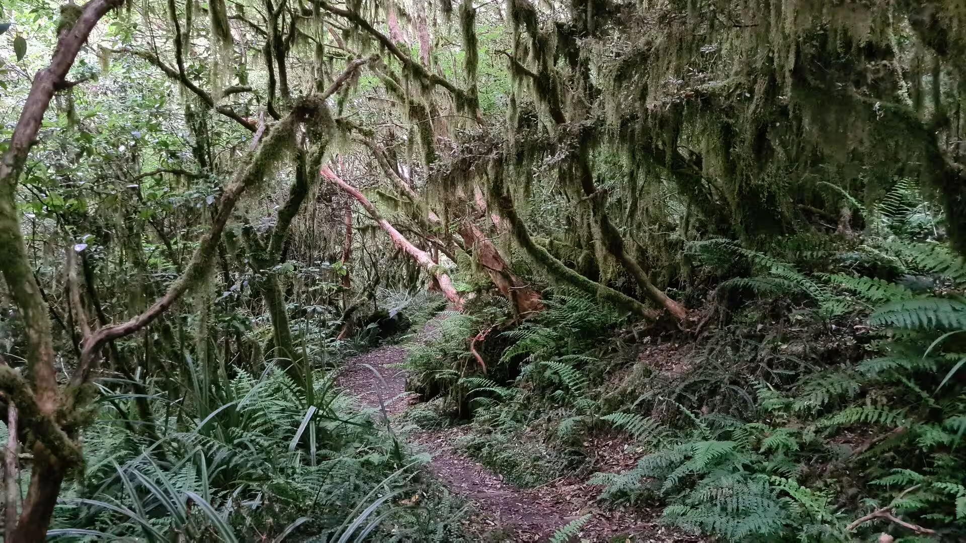
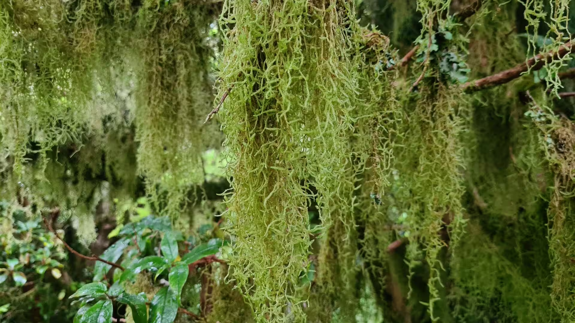
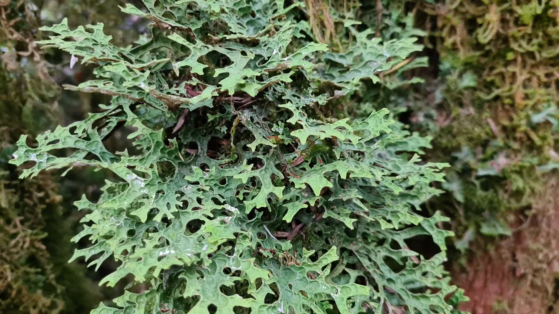
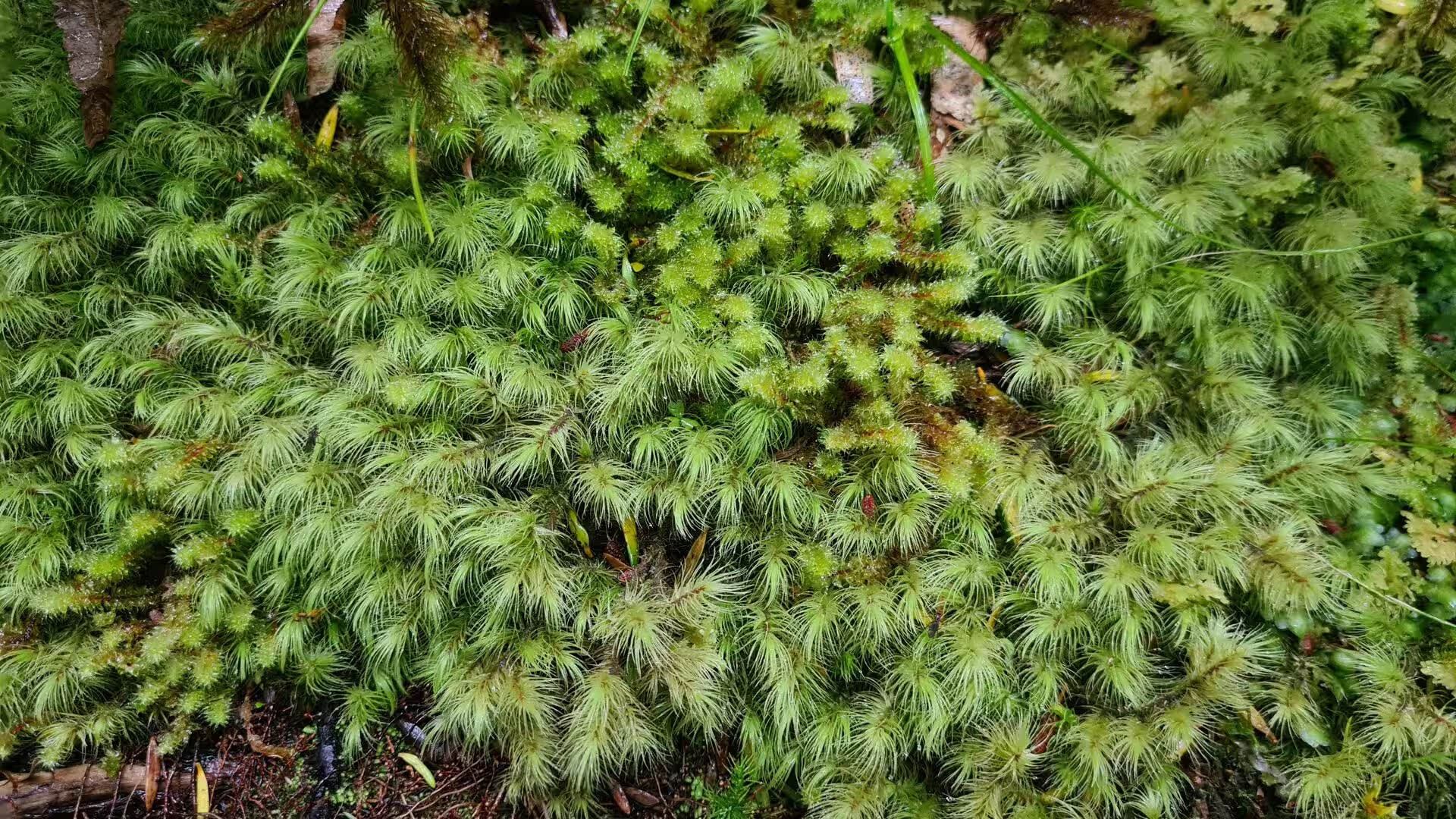
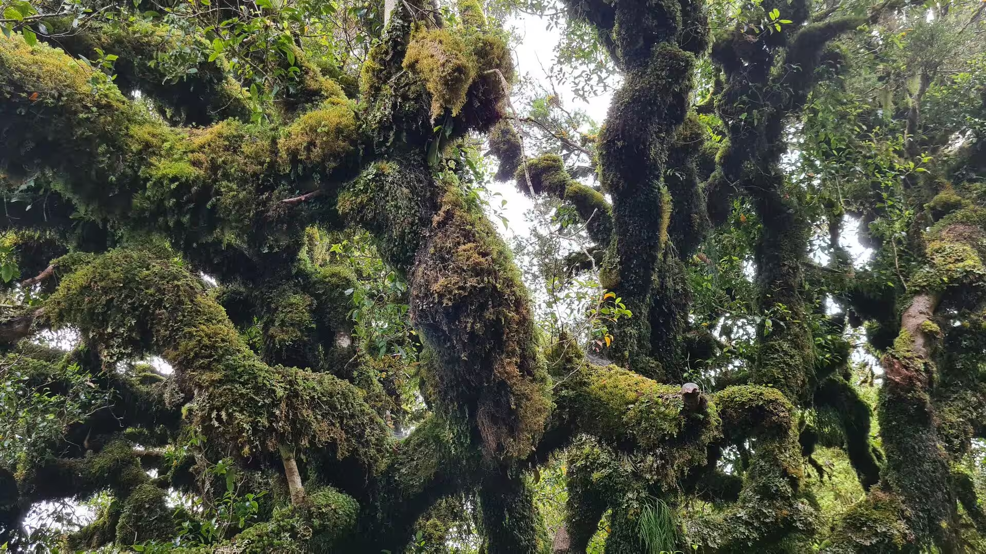
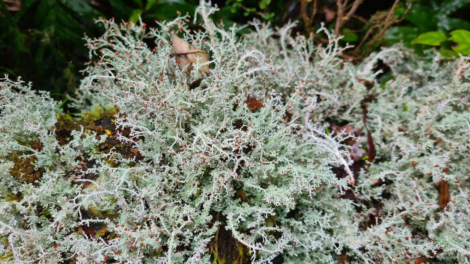
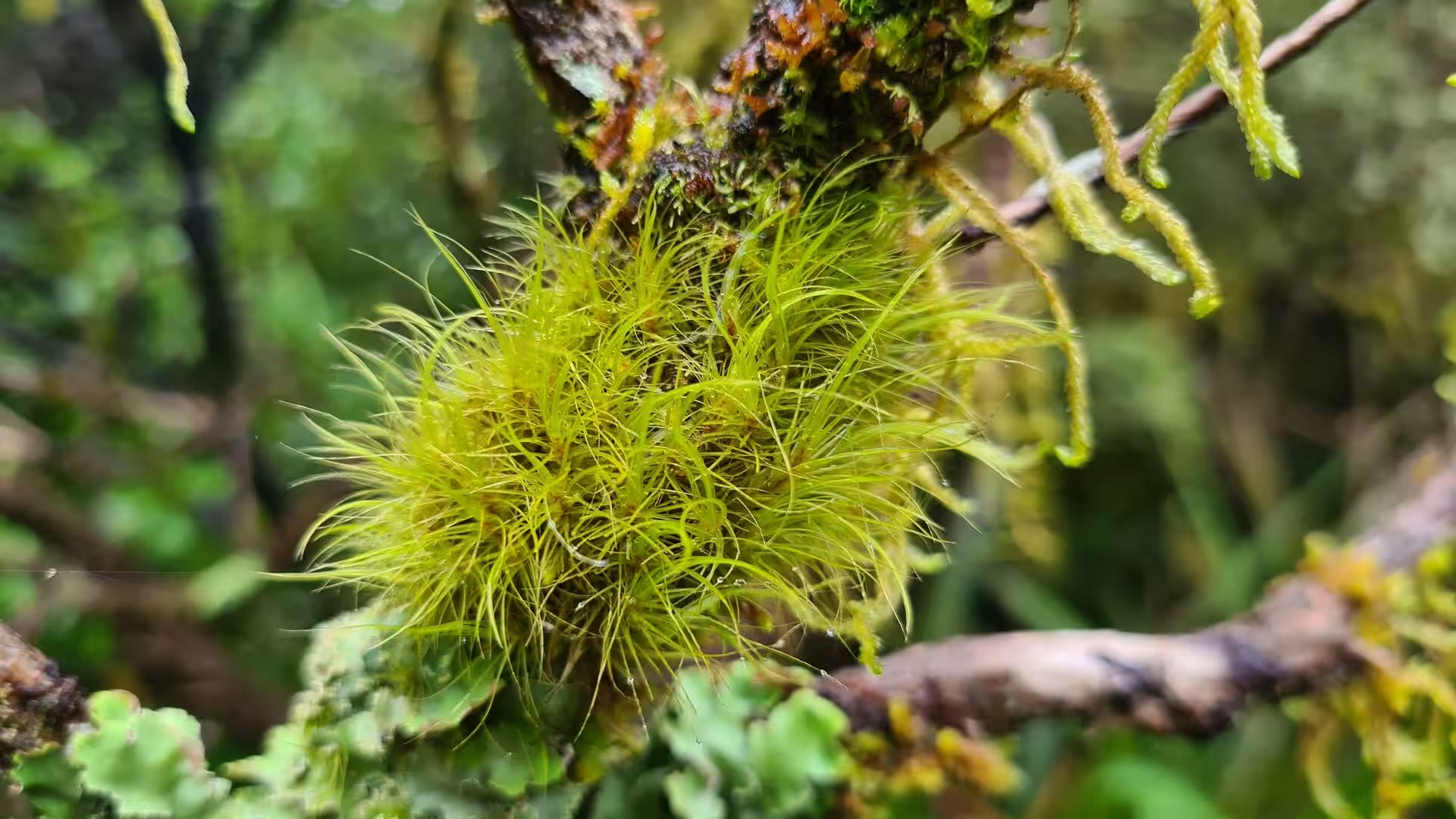
Mosses, lichens and the smaller plants give the forest its character. With thousands of millimetres of rain each year, moss grows on every surface, sheathing trunks and branches in thick green fur, carpeting the ground and even clothing bare twigs in lime-green cushions. Pale grey-green beard lichens of the genus Usnea hang in delicate curtains from the branches, and lacy foliose lichens spread across the bark of the oldest trees. In such a cloud forest the distinction between soil, rock and wood blurs, everything slowly knitted together by moss, liverwort and fern, and the forest floor, scattered with bright leaves among the green, rewards a slow, close look.
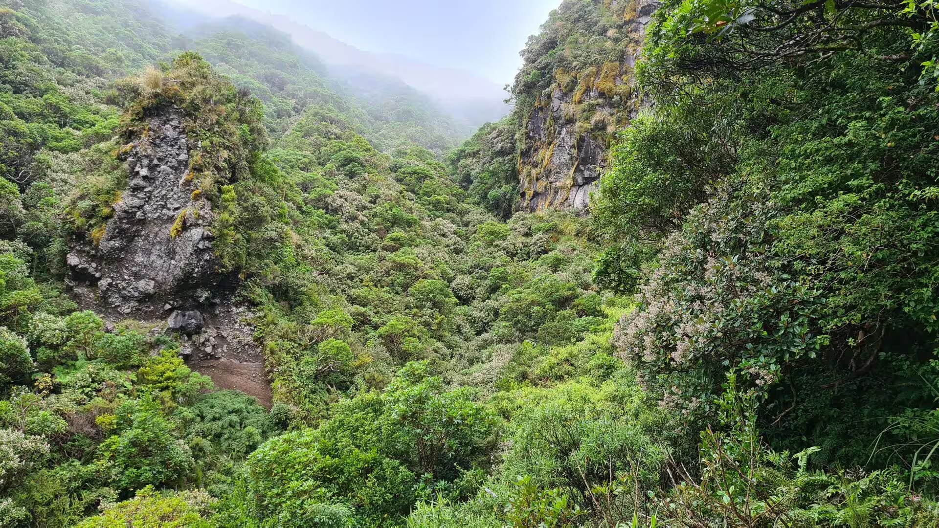
Cloud, mist and the high country complete the mountain’s moods. Cloud spills through the gullies and over the fern-clad ridges, now hiding the view, now parting to reveal a cliff or a valley far below, and the play of light through the wet canopy keeps the forest in perpetual soft shadow. Above the tree line the forest gives way to subalpine scrub and then to alpine herbfields and bare volcanic rock, and the summit cone rises into a colder, windier world of its own. The changeable weather is part of the mountain’s character, and the clouds that so often disappoint visitors are also the reason the forest is as green, damp and primeval as it is.
References
- Clarkson, Bruce D. (1986). Vegetation of Egmont National Park, New Zealand. Wellington: Science Information Publishing Centre, DSIR.
- McNab, Robert (1914). From Tasman to Marsden: A History of Northern New Zealand from 1642 to 1818. Dunedin: J. Wilkie and Co.
- Beaglehole, John Cawte (ed.) (1968). The Journals of Captain James Cook on His Voyages of Discovery, vol. I: The Voyage of the Endeavour 1768-1771. Cambridge: Cambridge University Press.
- Waitangi Tribunal (1996). The Taranaki Report: Kaupapa Tuatahi. Wellington: GP Publications.
- Te Papa-Kura-o-Taranaki (Egmont National Park). Department of Conservation. www.doc.govt.nz/parks-and-recreation/places-to-go/taranaki/places/te-papa-kura-o-taranaki/
- Taranaki. Smithsonian Institution, Global Volcanism Program. volcano.si.edu/volcano.cfm?vn=241030
- Lambert, Ron. Taranaki region. Te Ara: The Encyclopedia of New Zealand. teara.govt.nz/en/taranaki-region
- Te Āti Awa of Taranaki. Te Ara: The Encyclopedia of New Zealand. teara.govt.nz/en/te-ati-awa-of-taranaki
- Mount Taranaki. en.wikipedia.org/wiki/Mount_Taranaki
- Egmont National Park. en.wikipedia.org/wiki/Egmont_National_Park
- Te Āti Awa. en.wikipedia.org/wiki/Te_%C4%80ti_Awa
- Ernst Dieffenbach. en.wikipedia.org/wiki/Ernst_Dieffenbach
- Lahar. en.wikipedia.org/wiki/Lahar
- Usnea. en.wikipedia.org/wiki/Usnea
- Blechnum discolor. en.wikipedia.org/wiki/Blechnum_discolor
- Tongariro National Park. en.wikipedia.org/wiki/Tongariro_National_Park