Day 11 - Cape Reinga
20 July 2023





Journal Notes
General
Cape Reinga, officially named Cape Reinga / Te Rerenga Wairua, is a rocky headland at the north-western tip of the Aupouri Peninsula, the long sand peninsula that forms the northern end of the North Island of New Zealand. The cape lies roughly 100 kilometres north of Kaitaia, the nearest town of any size, at about 34 degrees 26 minutes south and 172 degrees 41 minutes east. State Highway 1 runs the whole length of the North Island and ends at the cape, which is also the northern terminus of the Te Araroa walking trail. Only the Three Kings and Kermadec island groups reach further north into the Pacific.
Cape Reinga is often described as the northernmost point of the North Island, but that distinction belongs to the Surville Cliffs on the North Cape headland about 30 kilometres to the east, which extend about 3 kilometres further north. The cape is nonetheless the symbolic end of the land, and it is generally considered the separation marker between the Tasman Sea to the west and the Pacific Ocean to the east. From the clifftops the tidal race where the two seas meet is often visible as a disturbed line of water running out from the point, a sight that Māori tradition explains as the meeting of the sea of Rehua and the sea of Whitirea.
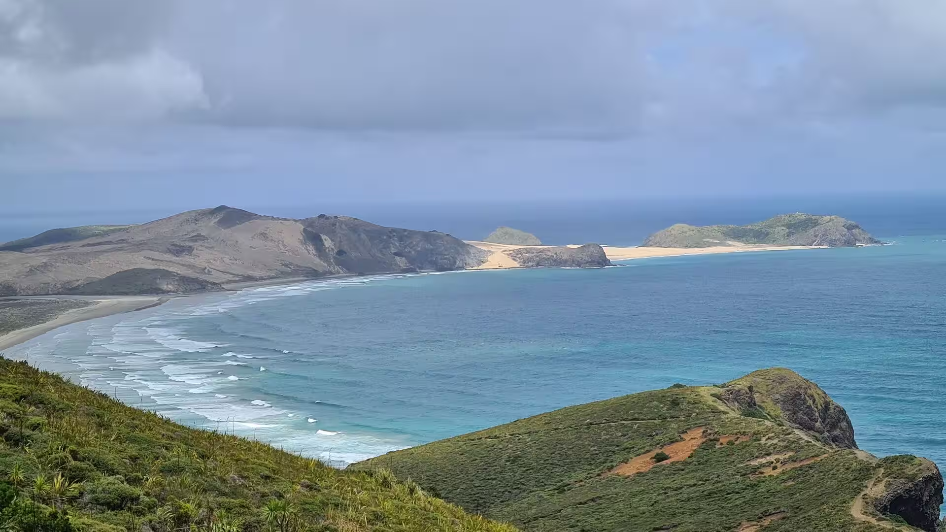
The headland rises steeply from the ocean, its seaward slopes clothed in flax, pohutukawa and coastal scrub, and the surrounding country is a mix of green farmland, dune land and long golden beaches. The district is very thinly populated: the whole Aupouri Peninsula, which covers about 1,100 square kilometres and widens to roughly 30 kilometres where the northern capes cluster, is home to only a few thousand people, most of them in small settlements such as Te Hāpua, Te Kao and Pukenui.
The cape lies within the tribal territory of Ngāti Kurī of the Muriwhenua confederation and is managed as conservation land by the Department of Conservation, while the lighthouse station is owned and operated by Maritime New Zealand. The climate is mild and oceanic but windy, with changeable weather and rain spread through the year. Since the access road was fully sealed in 2010 the headland has become one of the most visited natural sites in the country, with annual visitor numbers estimated at more than half a million.
History
The far north of the North Island, known to Māori as Te Hiku o te Ika, the tail of the fish of Māui, is the traditional country of the Muriwhenua iwi, among them Ngāti Kurī, whose tribal area reaches from the northern tip down past Ninety Mile Beach and Parengarenga Harbour. Ngāti Kurī trace their descent from Pōhurihanga, captain of the waka Kurahaupō, one of the great migration canoes. In Ngāti Kurī tradition the navigator Kupe, thinking he had seen a whale, had in fact sighted Houhora mountain, and his people settled between Cape Reinga and Parengarenga Harbour, naming places along Te Ara Wairua, the spirits’ pathway, as far as the cape.
The dunes of the peninsula preserve a rich archaeological record of this occupation. A survey of the Te Paki dunes carried out for the Department of Lands and Survey by the archaeologist Janet Davidson between 1969 and 1971 recorded 45 fortified pā sites, more than 200 pit, terrace and hut sites, shell middens and 19th-century sandstone walls, together with traces of taro cultivation. Later analysis of stone tools from the western dune belt shows that between the late 15th and the 18th centuries a well-developed exchange network brought obsidian from sources such as Mayor Island and the Coromandel Peninsula into the far north. In the 19th and early 20th centuries the peninsula was a centre of the kauri gum digging trade, which peaked between 1890 and 1935 and drew diggers to the high-quality gum grounds around Parengarenga Harbour.
Cape Reinga is one of the most sacred places in the Māori world. Its name Te Rerenga Wairua means the leaping-off place of spirits, and in Māori tradition the spirits of the dead travel along two pathways to the cape, one running up Te Oneroa-a-Tōhē, Ninety Mile Beach, the other from Kapowairua (Spirits Bay) on the eastern shore. The spirits gather at the headland, leap from the rocks and descend by the root of an ancient pohutukawa tree into the sea, crossing to Manawatāwhi in the Three Kings Islands, where they take a last look back at the land before continuing to Hawaiki, the ancestral homeland. A spring on the hillside, Te Waiora-a-Tāne, the living waters of Tāne, supplied water used in burial rites throughout the country; it later disappeared after its catchment was altered by a reservoir. Because of the tapu character of the site, the Department of Conservation moved the car park and toilet block away from the headland between 2007 and 2009 and replanted the disturbed slopes with more than 150,000 native plants.
The first Europeans to sight this coast were the Dutch. Abel Tasman passed the peninsula in January 1643 and on 4 January named Cape Maria van Diemen, the headland west of Cape Reinga, after the wife of the governor of Batavia; he did not land. In December 1769 two rival expeditions sailed past the tip within days of each other. James Cook sighted North Cape on 10 December and named it on 19 December, and the French explorer Jean de Surville rounded Cape Reinga on 16 December in the Saint Jean-Baptiste, each charting the coast without knowing of the other.
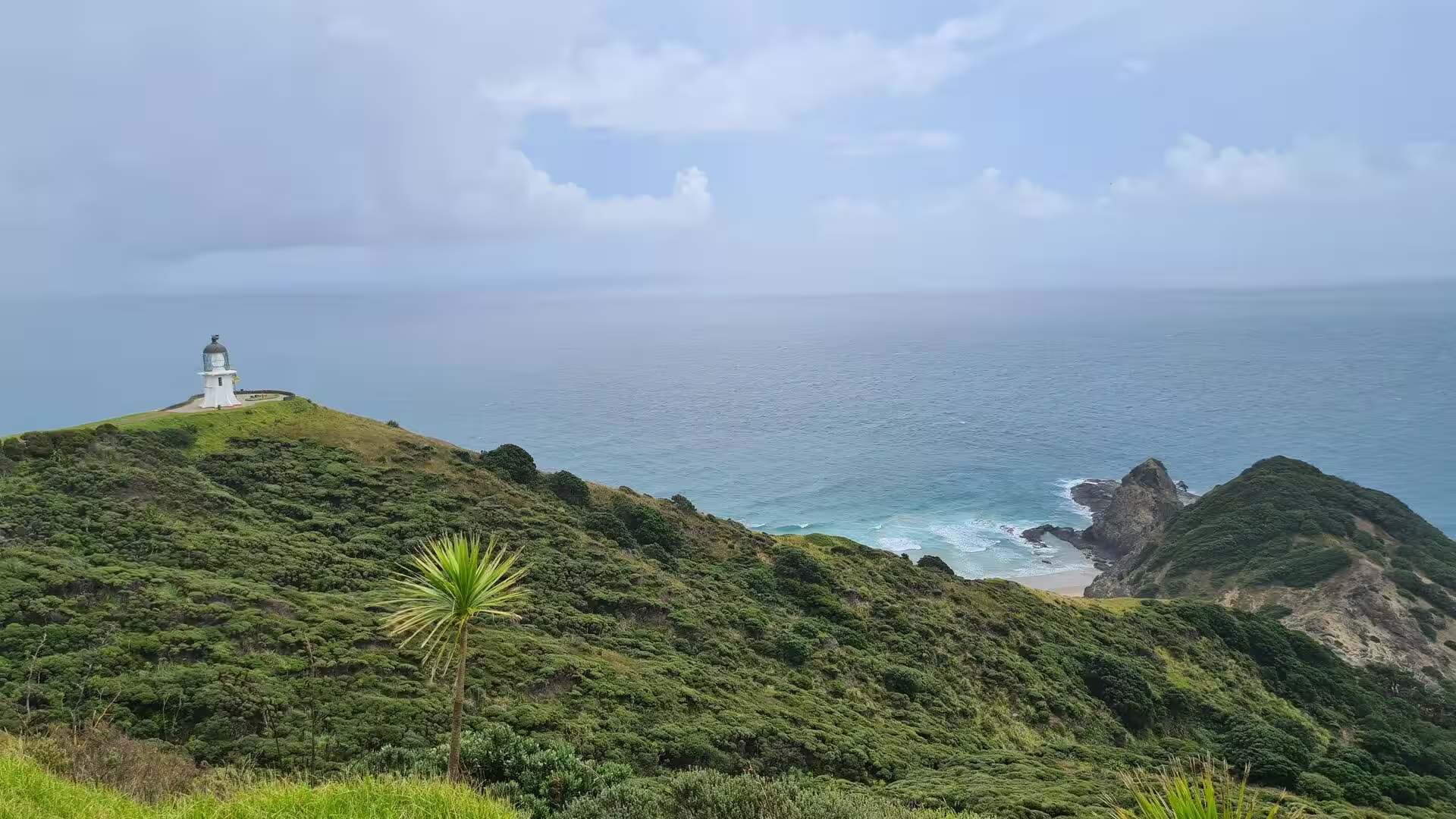
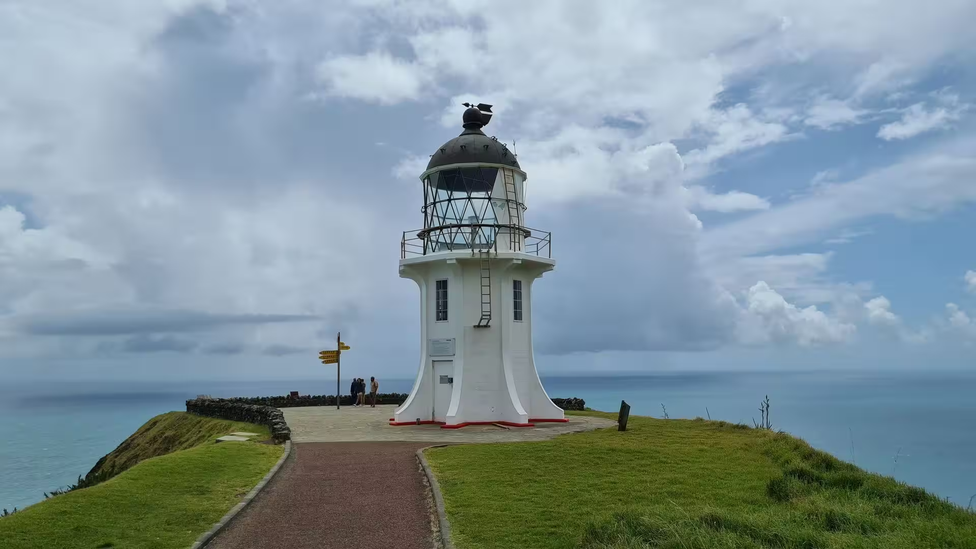
Maritime history at the cape centres on its lighthouse. A light was first placed on Motuopao Island, off Cape Maria van Diemen, in 1879, but access by boat was so dangerous that after two people drowned on the rocks in 1933 it was decided in 1938 to move the station to the mainland. The new lighthouse at Cape Reinga was first lit in May 1941, using lantern fittings brought from Motuopao, and it was the last manned lighthouse built in New Zealand, powered by a diesel generator and fitted with a 1,000 watt lamp visible for 26 nautical miles. The keepers were withdrawn in 1987, when the light was fully automated and placed under remote monitoring from Wellington; the original lens and lamp were replaced in 2000 by a small solar-powered beacon. In February 2014 Ngāti Kurī signed its deed of settlement with the Crown, and that same year the beach below the dunes received its dual name Te Oneroa-a-Tōhē / Ninety Mile Beach; the settlement legislation followed in 2015.
Geology
The Aupouri Peninsula is a tombolo, a sand isthmus roughly 85 kilometres long and up to 15 kilometres wide that ties the mainland to the cluster of old headlands at the northern tip of the island. Its sand body accumulated over a very long period: studies of the coastal sands of Northland show that west-coast progradation has been building the Aupouri tombolo since at least the Pliocene, as sand was swept from the sea floor and driven shoreward during times of lower sea level. Along the Ninety Mile Beach shore the sands are rich in quartz, commonly about 60 per cent of the mineral content, mixed with feldspar and dark mafic grains.
Beneath and between the sands stand much older rocks. The higher land between Cape Reinga and North Cape, around Parengarenga Harbour and at Mount Camel near Houhora consists of volcanic and sedimentary rock, the eroded remnants of islands that stood off the coast before drifting sand joined them to the mainland in the late Pleistocene. Cape Maria van Diemen preserves lava flows and dykes of basaltic and andesitic composition from one such island, and the North Cape headland was likewise built by a submarine volcano before a sand isthmus attached it to the peninsula.
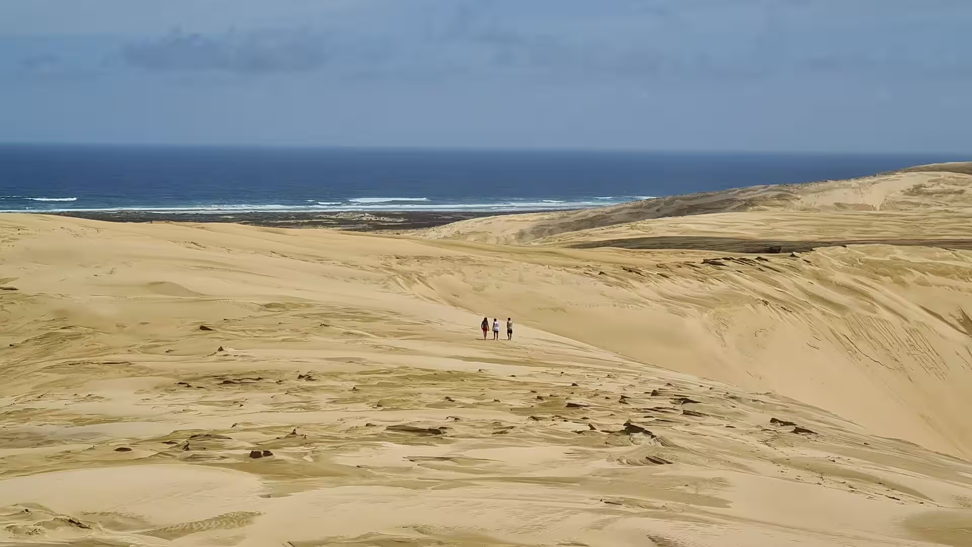
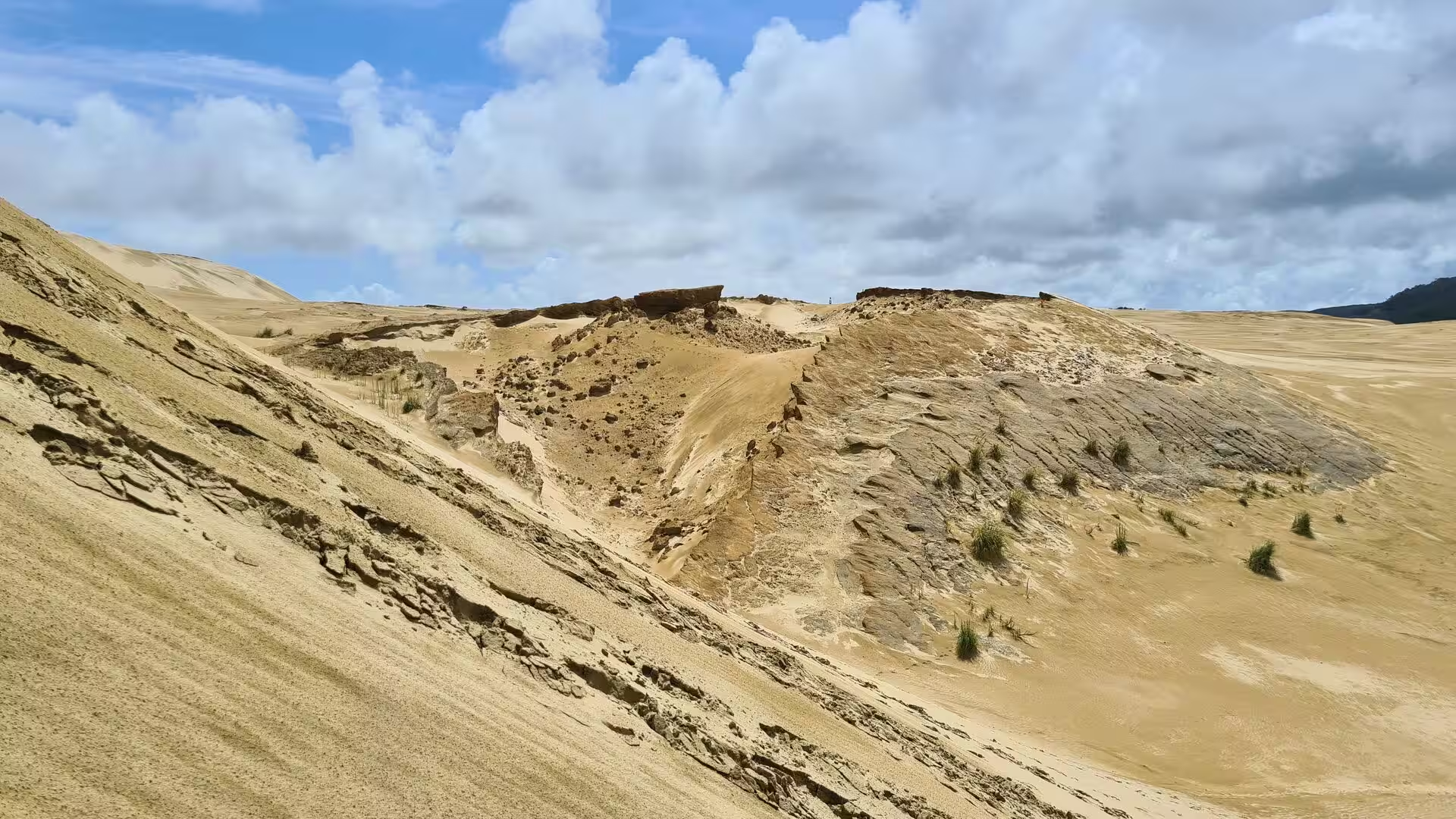
The dunes themselves are young, wind-built landforms of the Quaternary. Stratigraphic work on the dunefields at Te Werahi, close to Cape Reinga, shows dune units of last interglacial age and older surviving only as isolated erosional remnants within a far more extensive Holocene dunefield. The Holocene dunes began to form at least 4,000 years ago and stayed mobile until about 1,800 years ago, when vegetation stabilised them; renewed movement and erosion set in around 450 years ago and has continued to the present. The destruction of dune forest between about 800 and 550 years ago, probably by fires following Polynesian settlement, helped to trigger this second phase of mobility. In the mobile belts the crests are large landforms, some rising to about 120 metres above the strand.
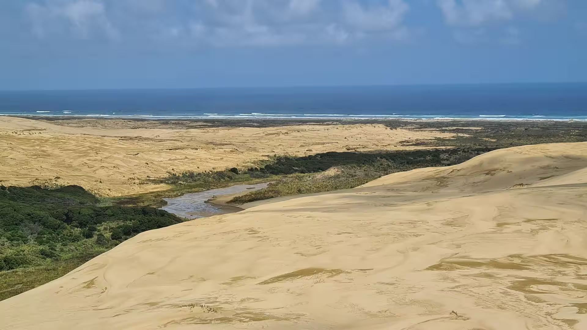
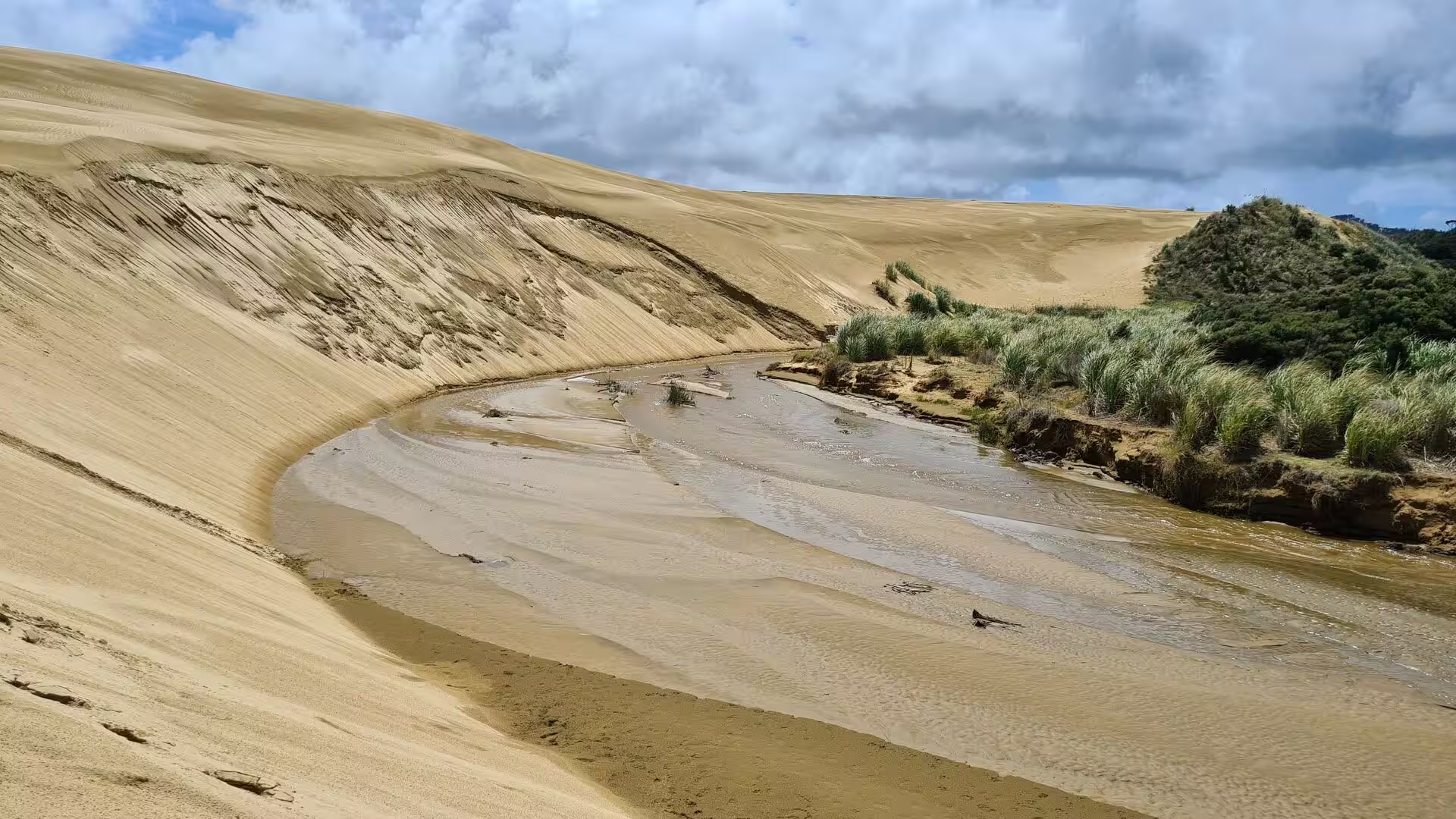
Erosion is written across the landscape today. Wind and rain cut the soft sand into ragged faces, exposing dark layers of older, weathered and podzolised sands beneath the pale Holocene cover, and the same deflation that lays those surfaces bare is what brings the buried archaeological sites to light. Streams such as the Te Paki Stream thread through the hollows between the great ridges and carry sand toward the sea across the northern end of Ninety Mile Beach, while surf and strong winds reshape the open shore. Beneath the beach the peninsula holds a large freshwater aquifer, which extends the whole length of Te Oneroa-a-Tōhē and surfaces locally in small dune lakes.
Things to See
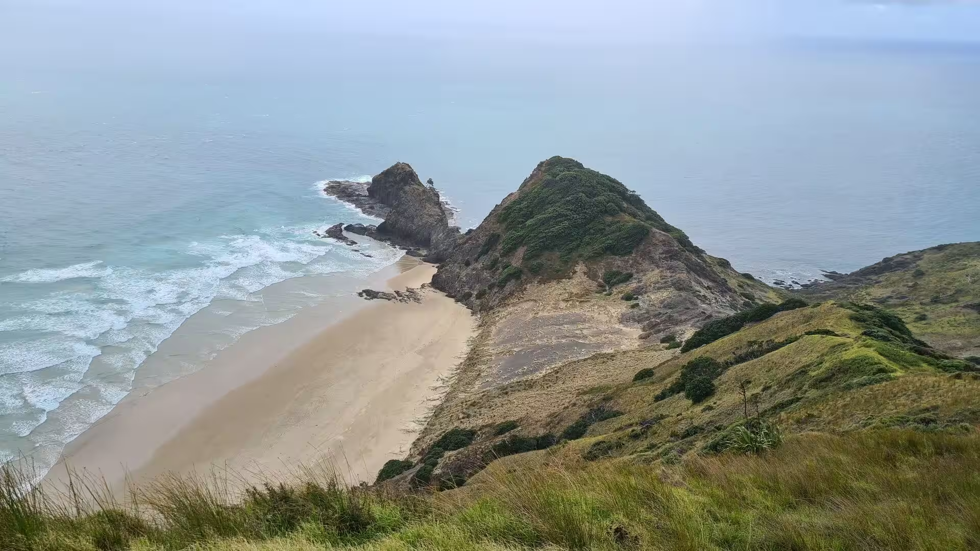
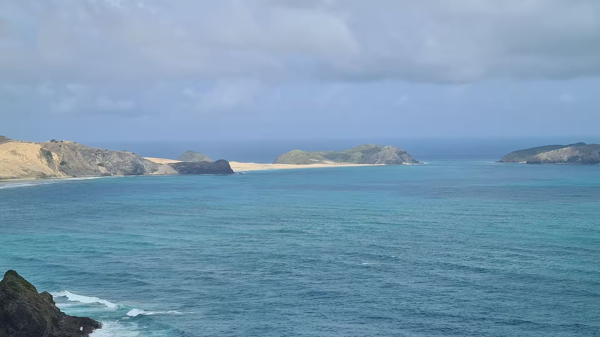
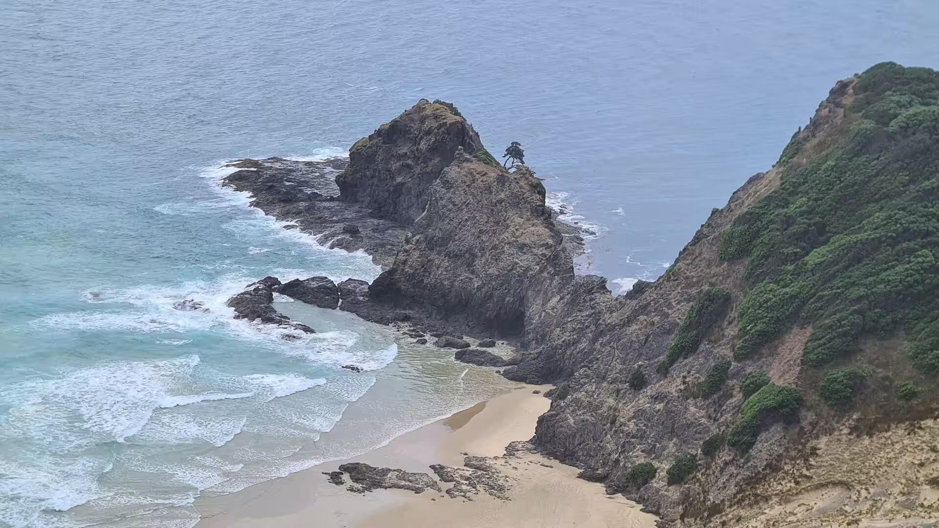
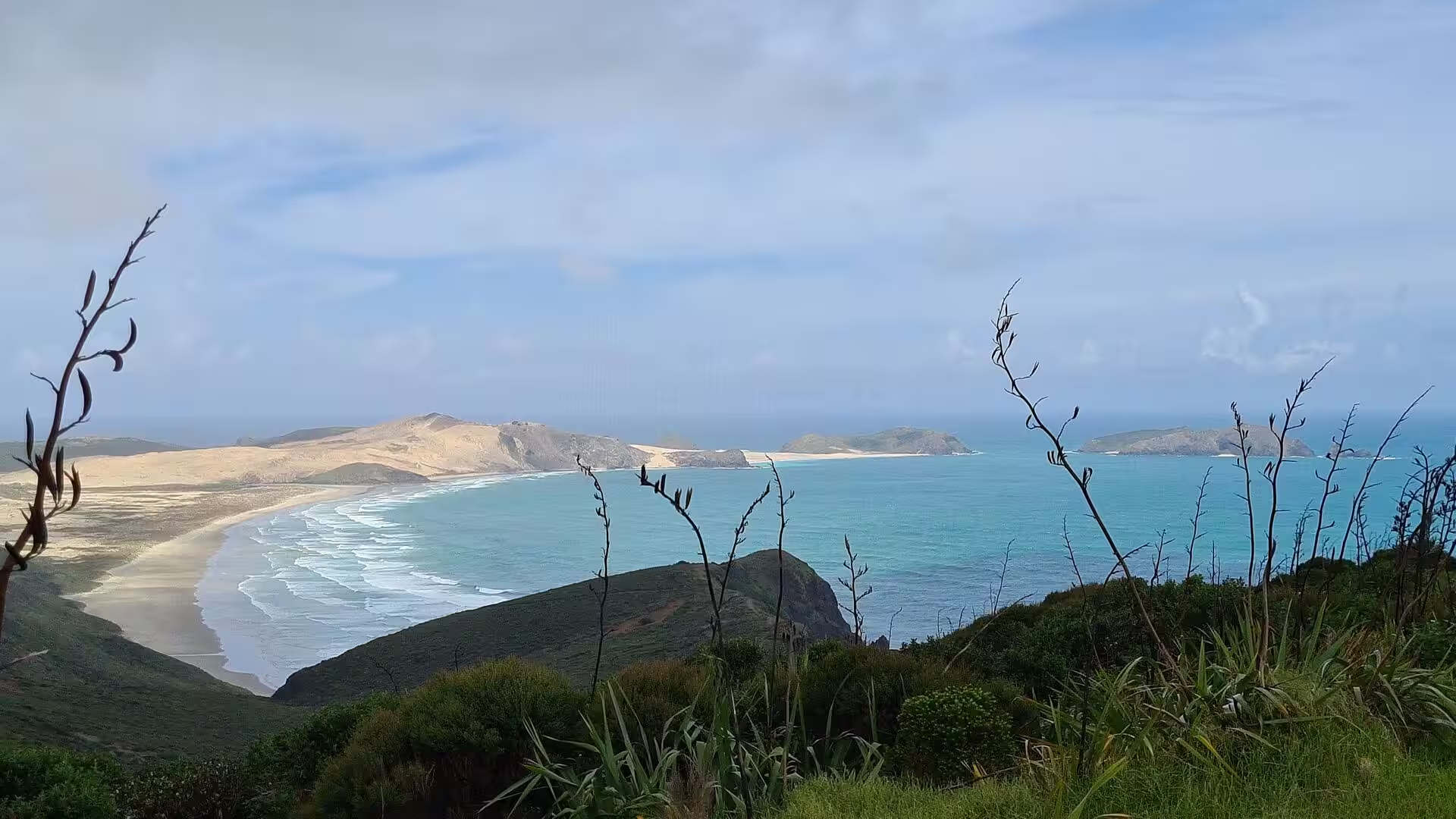
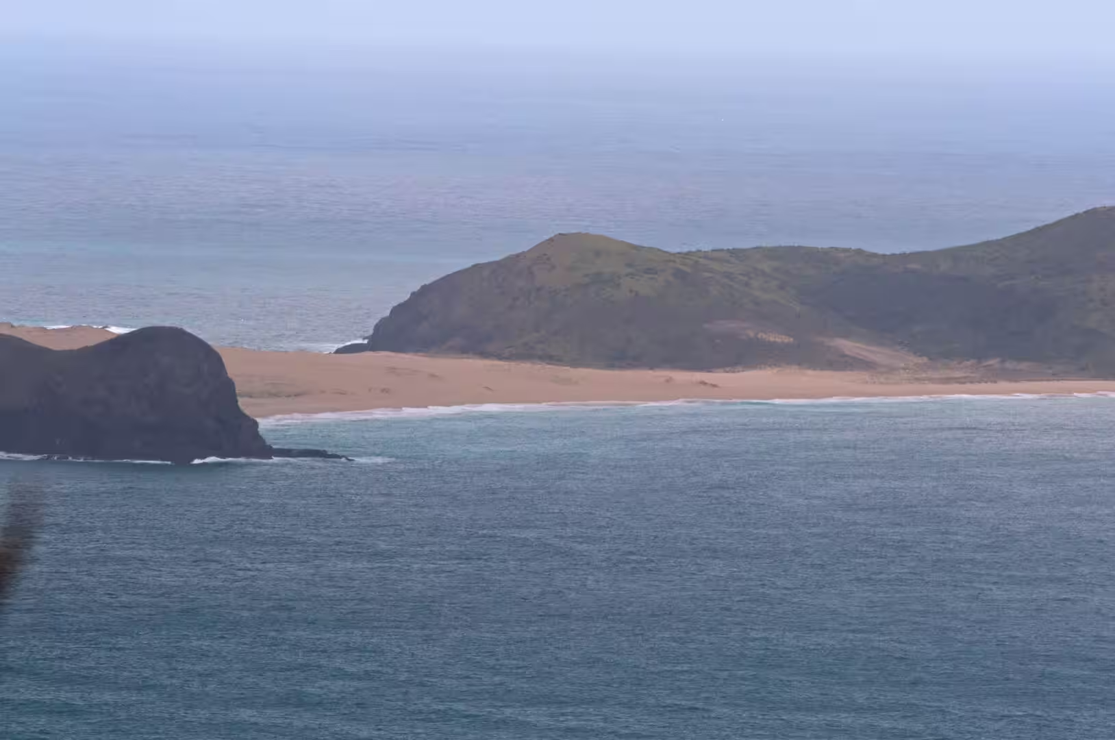
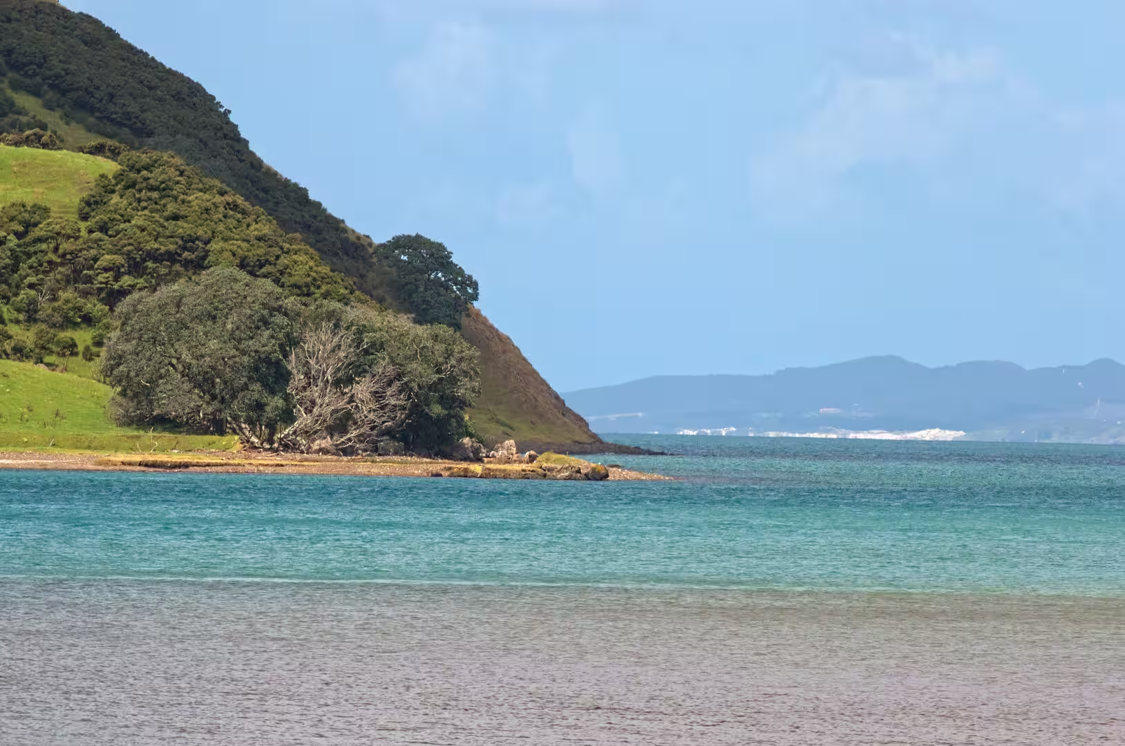
Cape Reinga is the great sight of the far north, a grassy headland rising steeply from the sea where the ocean opens in every direction. A short track leads from the visitor area out across the clifftop, with pohutukawa and flax along the way and the surf breaking far below. The view east runs along the coast toward Spirits Bay and the distant North Cape headland, while to the west the shoreline curves away toward Cape Maria van Diemen. Small golden beaches lie tucked beneath the green headlands, and from the high ground the bays show every shade of turquoise as the swells roll in across the shallow sand.
Cape Reinga Lighthouse stands on the western brow of the headland, a white octagonal concrete tower with a dark lantern, 10 metres high, that has become one of the best-known lighthouses in New Zealand. First lit in May 1941 as the last manned lighthouse built in the country, it replaced the hazardous station on Motuopao Island, and until 1987 keepers lived here to tend a 1,000 watt lamp that was visible for 26 nautical miles. The station is not open to the public, but the tower can be circled at close range. Today a small automated beacon, powered by solar-charged batteries, flashes every 12 seconds and is visible for 19 nautical miles, making the light one of the first that ships bound for New Zealand raise from the Tasman Sea or the north Pacific.
Te Rerenga Wairua, the leaping-off place of spirits, gives the headland its deeper meaning. According to tradition the spirits of the dead descend the root of the ancient windswept pohutukawa that clings to the seaward rocks of the point, a tree said to be about 800 years old, before crossing to the Three Kings Islands and Hawaiki. The headland and the tree can both be seen from the walkway, and visitors are expected to treat the site with quiet respect.
The meeting of the seas: from the lighthouse the view takes in the point where the Tasman Sea and the Pacific Ocean meet, the two great water bodies that wash the western and eastern coasts of the North Island. Their swells arrive from different directions, and along the line where they collide the water is visibly disturbed, with a shifting band of current and standing waves running out from the cape. The clash is strongest in rough weather, when white water marks the boundary far beyond the cliffs.
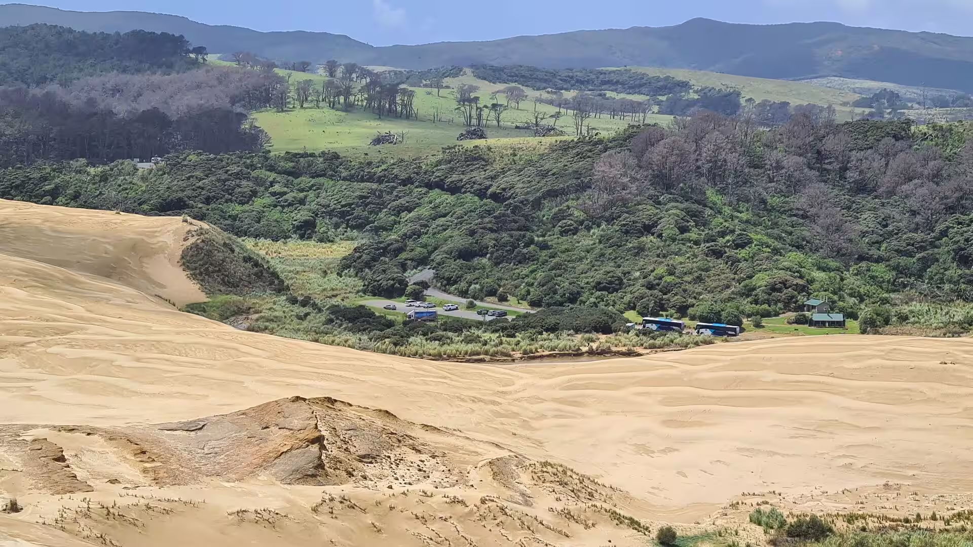
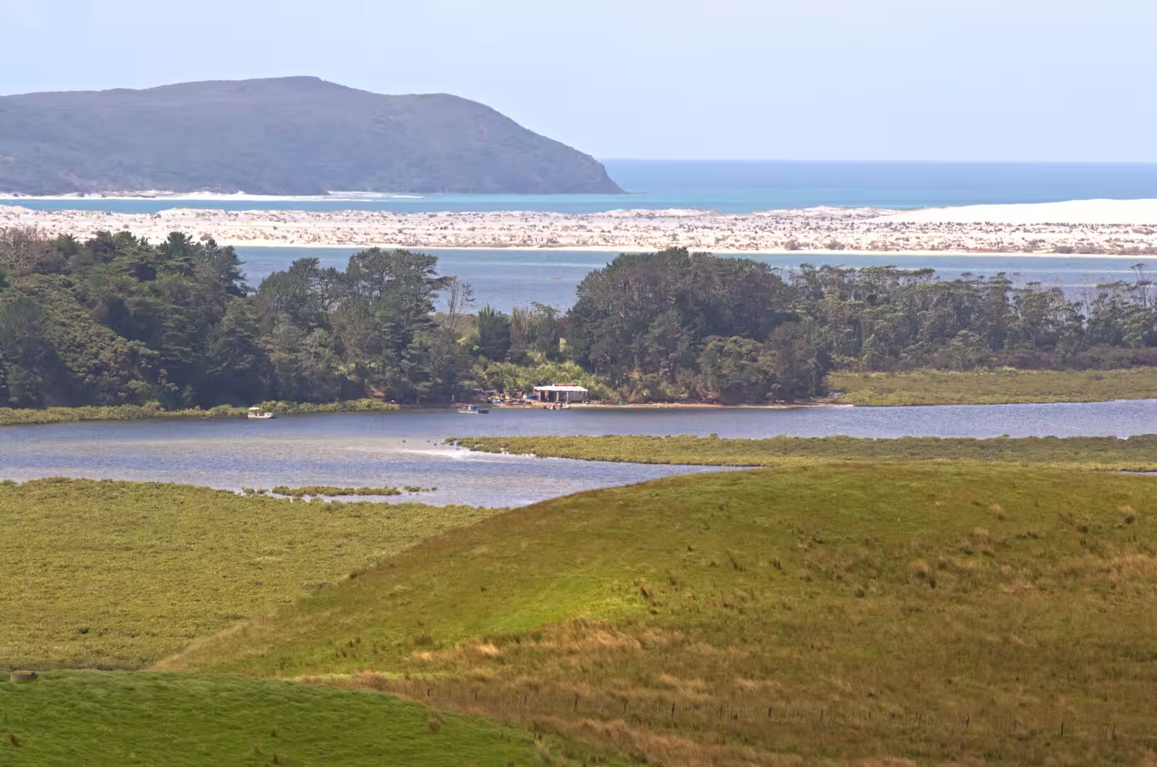
Te Paki Sand Dunes lie a short distance south-east of the cape on the western flank of the peninsula, a vast field of golden sand that rolls up from Ninety Mile Beach toward the green hills and looks at first glance like a desert, which is why the dunes are also called the Giant Sand Dunes. Steep, wind-rippled faces rise above the plain, the Te Paki Stream winds through the troughs between them on its way to the sea, and scattered clumps of dune grass hold the shifting sand in place. The area is a playground for sandboarding, with guided tours climbing the high faces and sliding down on boards, and the summits give sweeping views over the surf shore, the farmland and the distant headlands. The dunes were once part of Te Paki Station, a large run bought by the Crown in 1966 to become a coastal park, and erosion there still exposes the archaeological sites of the area’s early Māori inhabitants.
Ninety Mile Beach (Te Oneroa-a-Tōhē) forms the whole western shore of the Aupouri Peninsula, a long strand of hard golden sand, about 88 kilometres from Tauroa Point near Ahipara in the south to Scott Point roughly 10 kilometres south of Cape Reinga. Despite the name the beach is not ninety miles long; the name is said to come from the time taken by early travellers, whose horses could cover only about 30 miles a day on the soft sand. The surf beach is officially a public highway and is used above all by tourist excursions heading for the dunes at its northern end, and its Māori name, the long beach of Tōhē, honours an ancestor of Ngāti Kurī. In the days of sail a number of ships were wrecked on its shore, and since 2011 the beach has formed part of the Te Araroa walking route along the peninsula.
References
- Brook, Fred J. (1999). “Stratigraphy, landsnail faunas, and paleoenvironmental history of coastal dunefields at Te Werahi, northernmost New Zealand”. Journal of the Royal Society of New Zealand 29(4): 361-393.
- Davidson, Janet M. (1984). The Prehistory of New Zealand. Auckland: Longman Paul.
- Moore, Phillip and Coster, John (2015). “Evidence of a well-developed obsidian distribution network in the Far North of New Zealand: new data from the Aupouri Peninsula”. Journal of Pacific Archaeology 6(1): 1-17.
- Schofield, J. C. (1970). “Coastal sands of Northland and Auckland”. New Zealand Journal of Geology and Geophysics 13(3): 767-824.
- Te Rerenga Wairua (Cape Reinga). Department of Conservation. www.doc.govt.nz/parks-and-recreation/places-to-visit/northland/kaitaia-area/te-rerenga-wairua-cape-reinga/
- Cape Reinga Lighthouse. Maritime New Zealand. maritimenz.govt.nz/about-us/who-we-are/our-history-and-heritage/lighthouses-of-new-zealand/cape-reinga/
- Abel Tasman. NZHistory, Ministry for Culture and Heritage. nzhistory.govt.nz/people/abel-tasman
- Taonui, Rāwiri (2009). “Muriwhenua tribes: Ancestors”. Te Ara: The Encyclopedia of New Zealand. teara.govt.nz/en/muriwhenua-tribes/page-1
- Cape Reinga. Wikipedia. en.wikipedia.org/wiki/Cape_Reinga
- Cape Reinga Lighthouse. Wikipedia. en.wikipedia.org/wiki/Cape_Reinga_Lighthouse
- Aupouri Peninsula. Wikipedia. en.wikipedia.org/wiki/Aupouri_Peninsula
- Ninety Mile Beach, New Zealand. Wikipedia. en.wikipedia.org/wiki/Ninety_Mile_Beach,_New_Zealand
- Te Paki Sand Dunes. Wikipedia. en.wikipedia.org/wiki/Te_Paki_Sand_Dunes
- Ngāti Kurī. Wikipedia. en.wikipedia.org/wiki/Ng%C4%81ti_Kur%C4%AB
- Cape Maria van Diemen. Wikipedia. en.wikipedia.org/wiki/Cape_Maria_van_Diemen
- North Cape (New Zealand). Wikipedia. en.wikipedia.org/wiki/North_Cape_(New_Zealand)