Day 4 - Around lake Taupo
18 July 2023

Journal Notes
General
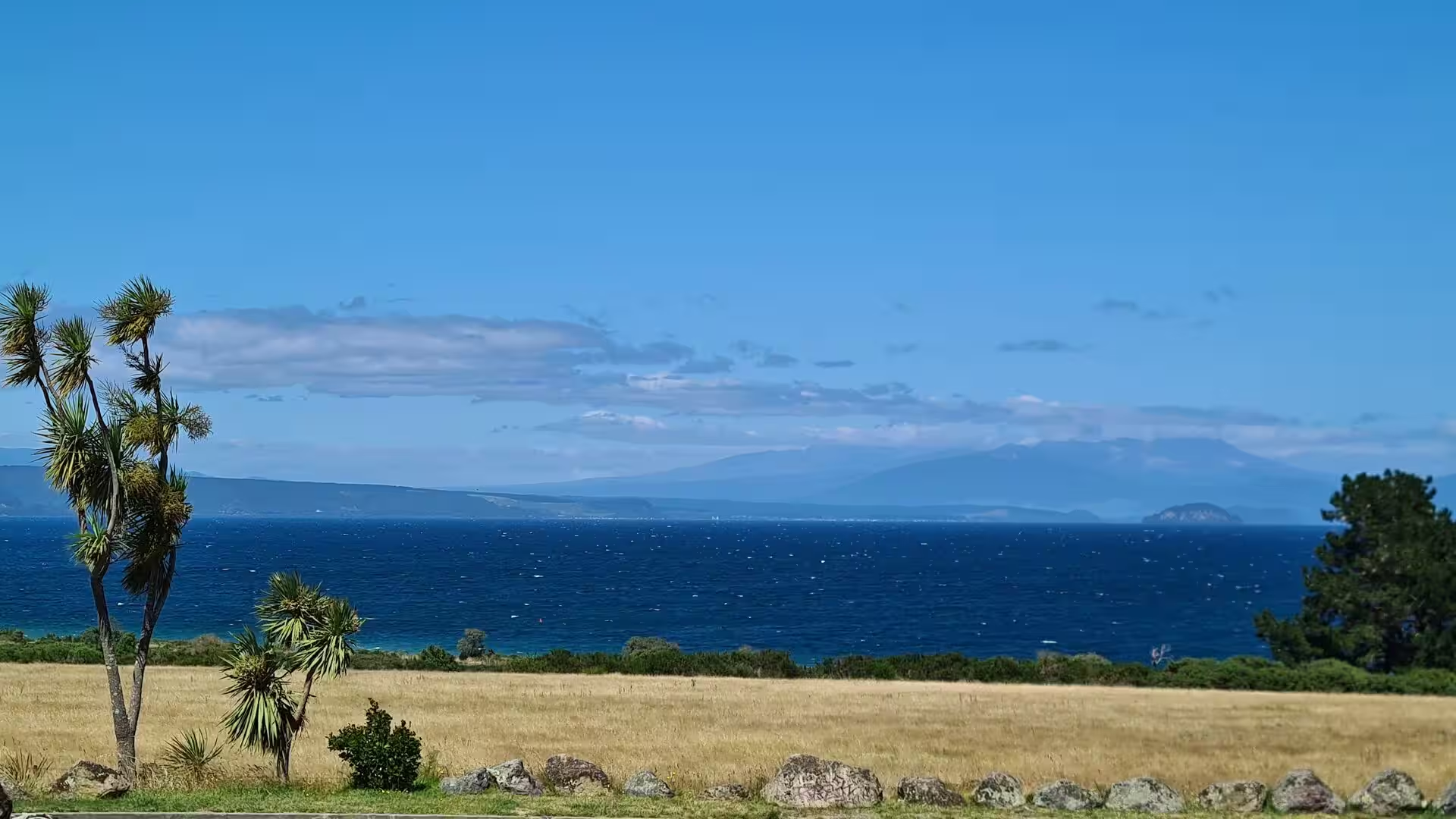
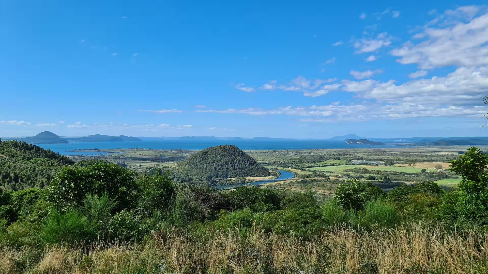
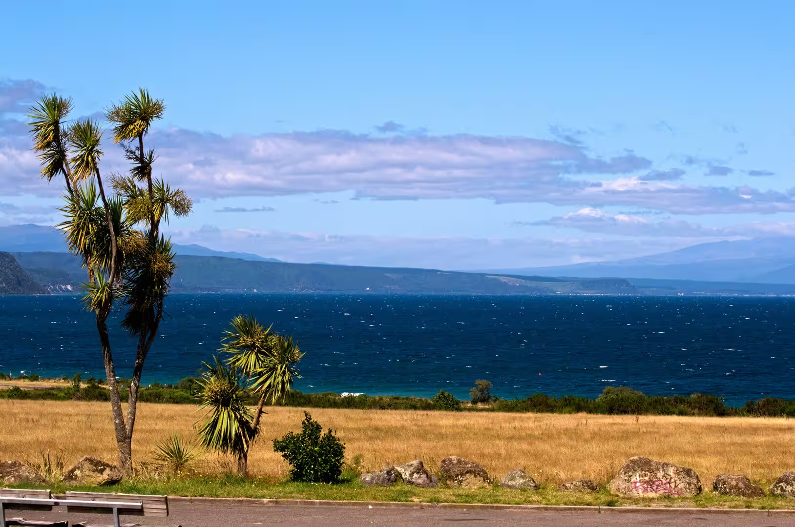
Lake Taupō lies in the centre of the North Island of New Zealand, filling the caldera of the Taupō volcano, a large rhyolitic supervolcano that has produced two of the world’s most powerful eruptions in geologically recent times. With a surface area of about 616 square kilometres it is the largest lake in New Zealand, and the second largest freshwater lake of geopolitical Oceania after Lake Murray in Papua New Guinea. Its shoreline runs for roughly 193 kilometres, its maximum depth is about 186 metres, and the lake surface lies approximately 356 metres above sea level, so the water reads from many viewpoints as an inland sea.
The town of Taupō stands on a bay in the lake’s north-eastern shore and is the largest settlement of the Taupō District in the Waikato region; at the 2023 census it had 25,374 residents. The full Māori name of the lake, Taupō-nui-a-Tia, is usually translated as ‘the great cloak of Tia’, after the ancestral explorer Tia, and the shorter form Taupō is used today for both the lake and the town. The district’s second town, Tūrangi, lies further south, adjacent to Tongariro National Park.
Water reaches the lake from a wide ring of rivers and streams, the largest of them the Waitahanui River, the Tongariro River and the Tauranga Taupō River, and leaves it at the north-eastern end through the Waikato River, the longest river in New Zealand. Much of the catchment is still forested, with native beech and podocarp forest clothing the steeper shores, while farmland occupies the gentler country. Pumice and ash from the Taupō volcano mantle the surrounding plateau, and hot springs rise north and south of the lake, for example at Rotokawa and near Tūrangi.
The climate is temperate, with warm summers and cool, often frosty winters, and rain falls in all seasons. Tourism dominates the local economy: the town and the lake draw anglers, boaters, walkers and sightseers throughout the year, with summer the busiest season. The lake is also a working reservoir, since its outflow is regulated by control gates built in 1940 and 1941 that feed the chain of hydroelectric dams on the Waikato River below the town. In Māori custom the lake is a taonga, a treasure, of Ngāti Tūwharetoa, the iwi whose territory centres on it, and the tribe grants the public free access for recreation.
History
Māori settlement of the lake district began in the thirteenth century. The traditions of Ngāti Tūwharetoa trace the tribe to Ngātoro-i-rangi, the priest and navigator of the Arawa canoe, who is said to have climbed Mount Tauhara and then the summit of Tongariro to claim the interior for his descendants. The ancestor Tūwharetoa i te Aupōuri, from whom the iwi takes its name, consolidated those claims, and the tribe’s traditional territory stretched from the Bay of Plenty coast across the central plateau to the lake and the Tongariro mountains. Ngātoro-i-rangi’s journey also explains the region’s fire: chilled on the frozen mountain, he called to his sisters in the ancestral homeland, and the fire they sent is said to have burst from the earth at Whakaari (White Island), at Rotorua and at Taupō before warming him on the summit. The lake and the peaks have been tapu, sacred, ever since, and their guardianship passed down the line of the Te Heuheu chiefs, the ariki, or paramount chiefs, of Ngāti Tūwharetoa.
The central North Island stayed largely outside the European sphere until the nineteenth century. Ngāti Tūwharetoa had little direct contact with Europeans before 1833, and the first European visitors reached Taupō around 1839. In March of that year John Bidwill climbed Ngauruhoe alone, because his Māori guides refused to break the tapu on the summit, and the chief Mananui Te Heuheu Tūkino II afterwards placed the mountains under a formal restriction that even Dieffenbach, Governor George Grey and the geologist Ferdinand von Hochstetter could not lift. When a landslide overwhelmed the Ngāti Tūwharetoa village of Te Rapa on 7 May 1846, Mananui was among the sixty people killed. During the wars between the Crown and some Māori of the 1860s the tribe sided with the Kingitanga, the Māori King movement, although its warriors could reach the fighting at Ōrākau only in time to watch the siege from a hillside.
The Crown moved into the interior after the wars. An armed constabulary post was established at Taupō in 1868 to secure the communication routes of the island, and in 1870 a redoubt was raised on the bank opposite the Ngāti Tūwharetoa pā at Nukuhau, guarding the crossing of the Waikato River where it leaves the lake. A courthouse followed in 1881, yet the settlement remained small for decades.
The most celebrated act of the tribe’s history came in 1887, when the paramount chief Horonuku Te Heuheu Tūkino IV conveyed the summits of Tongariro, Ngauruhoe and Ruapehu to the Crown on condition that they be protected. The Tongariro National Park Act of October 1894 created the resulting park, the first in New Zealand and the sixth in the world. In 1990 the park was inscribed on the World Heritage list for its natural values, and in 1993 it became one of the first properties recognised for both natural and cultural significance, the mountains being the spiritual heartland of Ngāti Tūwharetoa.
Meanwhile the lake district was being discovered by travellers. Hot pools drew visitors from the late 1870s and hotels followed, and once brown trout from Scotland were released in 1887 and rainbow trout from California in 1898, Lake Taupō became one of the world’s most famous trout fisheries. The Aratiatia Rapids, downstream of the future site of Huka Falls, had been set aside as a scenic reserve as early as 1906. Road access improved between the wars: the town formed a road board in 1922, and the control gates bridge across the Waikato outlet was completed in 1941, turning the lake into the head reservoir of the river’s hydroelectric chain. Farming of the pumice country had long been crippled by ‘bush sickness’, a wasting disease of sheep and cattle eventually traced to cobalt-deficient volcanic soils; once cobalt fertiliser was applied, sheep and dairy farms spread rapidly after 1947. Taupō became a borough in 1953 and then grew fast, its population rising from 753 in 1945 to 5,251 in 1961 as the Wairakei geothermal power station, the world’s first large wet-steam plant, was built nearby between 1958 and 1963. Later geothermal stations, among them Te Mihi completed in 2014, have continued the development that Wairakei began.
Geology
The Taupō volcano belongs to the Taupō Volcanic Zone, the belt of rifting and volcanism that runs diagonally across the North Island from Mount Ruapehu in the south-west to Whakaari (White Island) in the Bay of Plenty. Within that rift the volcano has been active for about 300,000 years, erupting almost exclusively rhyolite, a viscous, silica-rich magma. Quiet rhyolitic eruptions build lava domes, but when gas-charged magma reaches the surface it froths into pumice and ash and can generate pyroclastic flows that sweep across the land at hundreds of kilometres an hour and weld into sheets of ignimbrite; much of the plateau around the lake is built of such deposits.
The lake owes its present shape to the Oruanui eruption about 25,600 years ago, the largest eruption of the past 70,000 years. It ejected an estimated 1,170 cubic kilometres of material, and the emptying of the magma chamber allowed several hundred square kilometres of ground to collapse into a caldera. The basin later filled with water to form the lake, which eventually overflowed and released a catastrophic flood down the Waikato valley. Geological records show 29 eruptions in the past 30,000 years, most of them modest by comparison.
The most recent great event was the Hatepe eruption, dated to about 232 CE, which expelled around 100 cubic kilometres of material, some 30 of them within a few minutes, and devastated much of the North Island; it ranks among the most powerful eruptions of the past 5,000 years and enlarged the lake still further. About 30 years later a small eruption squeezed out lava domes that now form the Horomatangi Reefs in the south-eastern part of the lake, where underwater hydrothermal vents continue to release heat. On land, hot springs and steaming ground are found north and south of the lake, at Rotokawa and near Tūrangi among other places.
Not all of the Taupō edifice is rhyolitic. Mount Tauhara, the bush-clad dome that rises east of the town, is built of dacite and erupted about 65,000 years ago as the young caldera was settling. Downstream, the Waikato has cut the gorge of Huka Falls into lake-floor sediments laid down before the Oruanui eruption, so the falls are a young feature of the landscape; a few hundred metres upstream the river contracts from about 100 metres in width into a canyon only 15 metres wide.
The lake is therefore a live volcanic system rather than a passive body of water. Its level is held within a band of little more than a metre by the control gates of 1940 and 1941 so that the outflow can feed the hydro stations downstream, and the volcano is monitored continuously by GNS Science. The same subterranean heat that built the mountains supplies the geothermal fields worked at Wairakei and its successor stations, warms the town’s thermal pools, and gives the river below Huka Falls its celebrated clear blue-green colour.
Things to See
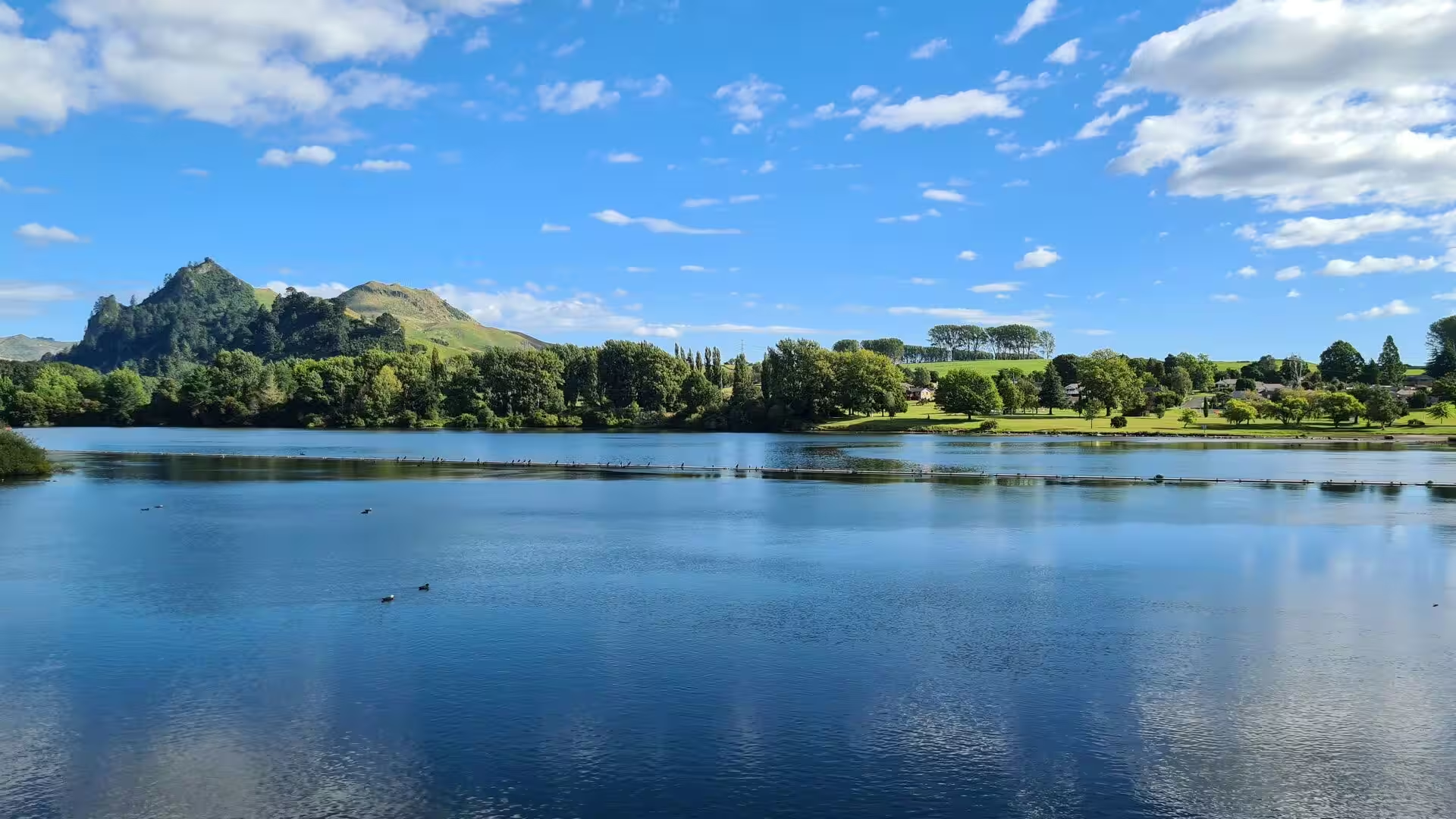
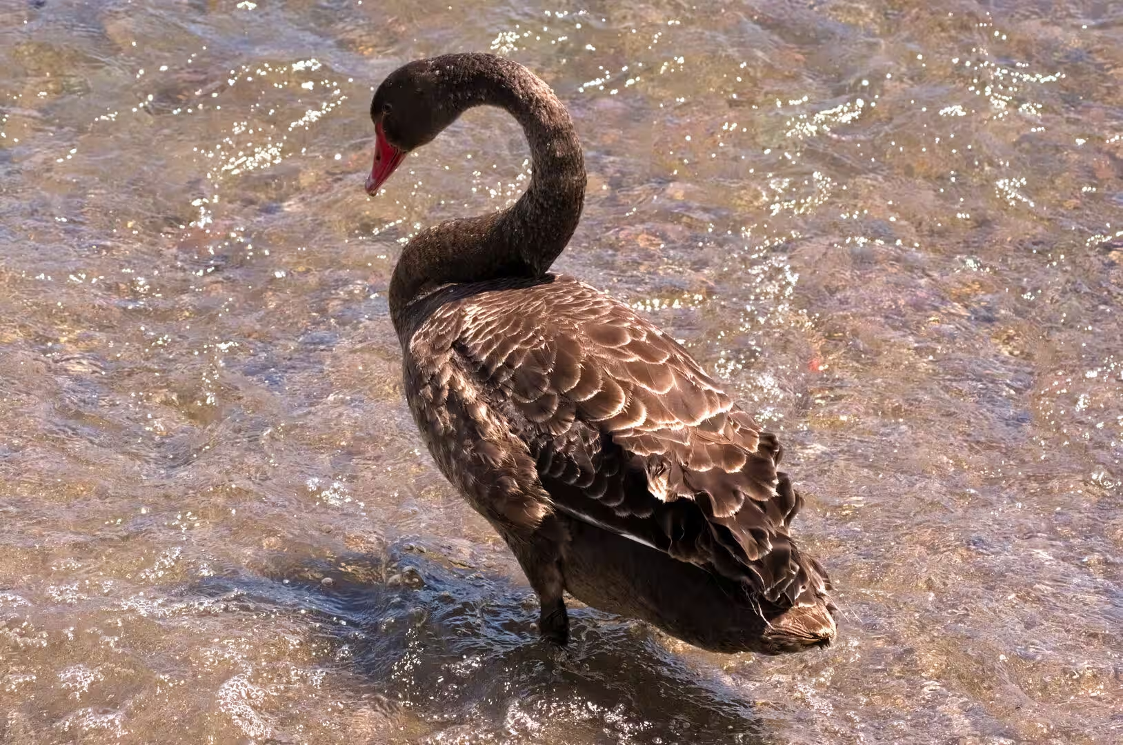
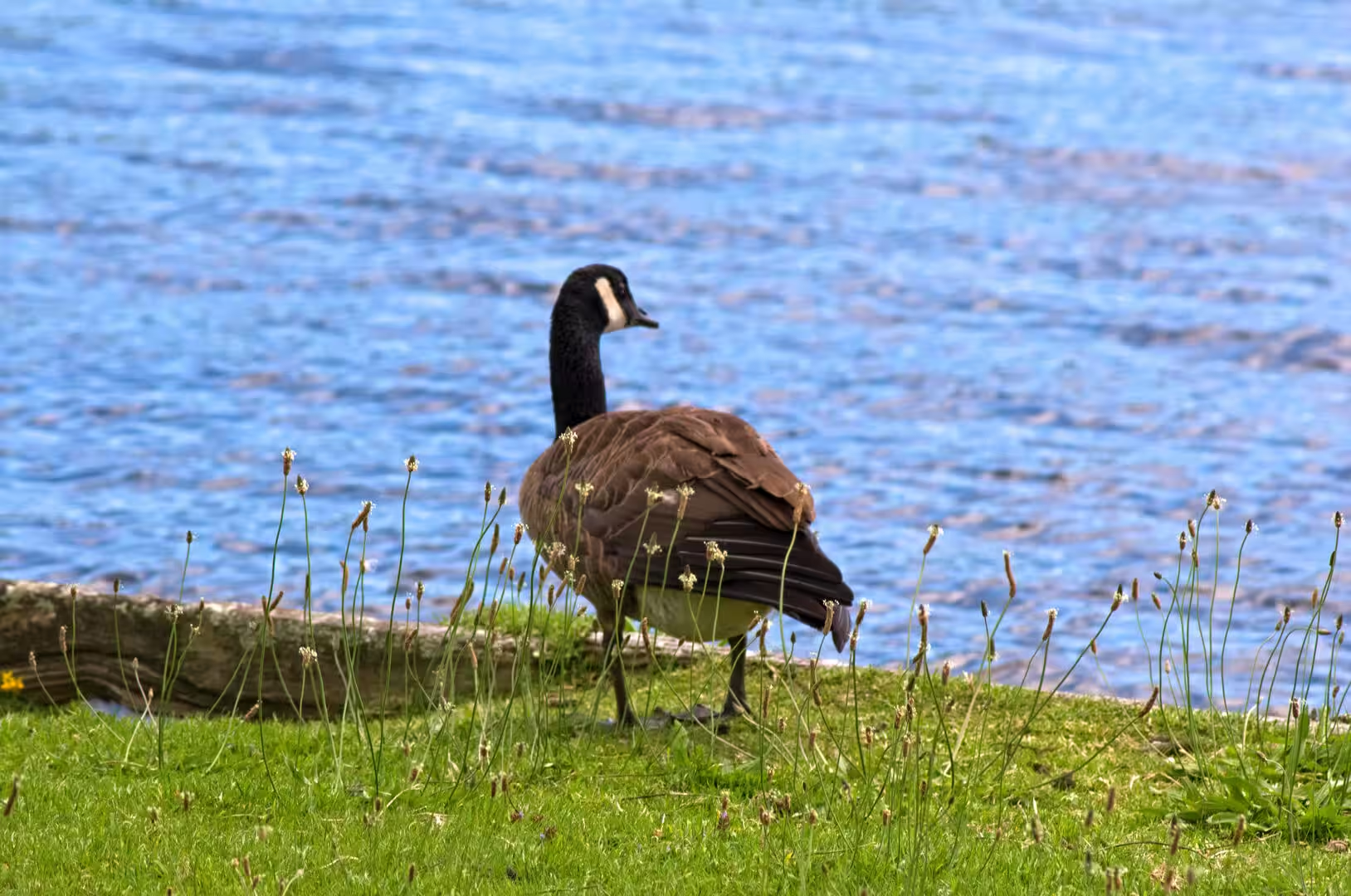
Taupō is the natural base for the lake district. The town centre and its lakefront look south across the water towards the mountains of Tongariro, and the grassy foreshore, where black swans and Canada geese graze among the lakeside trees, is the town’s most relaxed corner. Because the Waikato leaves the lake beside the town centre, the river is spanned there by the control gates bridge built in 1941, which also carries the road to the northern suburbs. The town offers the full range of lake recreation: cruises and kayak hire, sailing, skydiving and the many cycle routes of the district, while the high summer season around Christmas and New Year is the busiest time of the year.
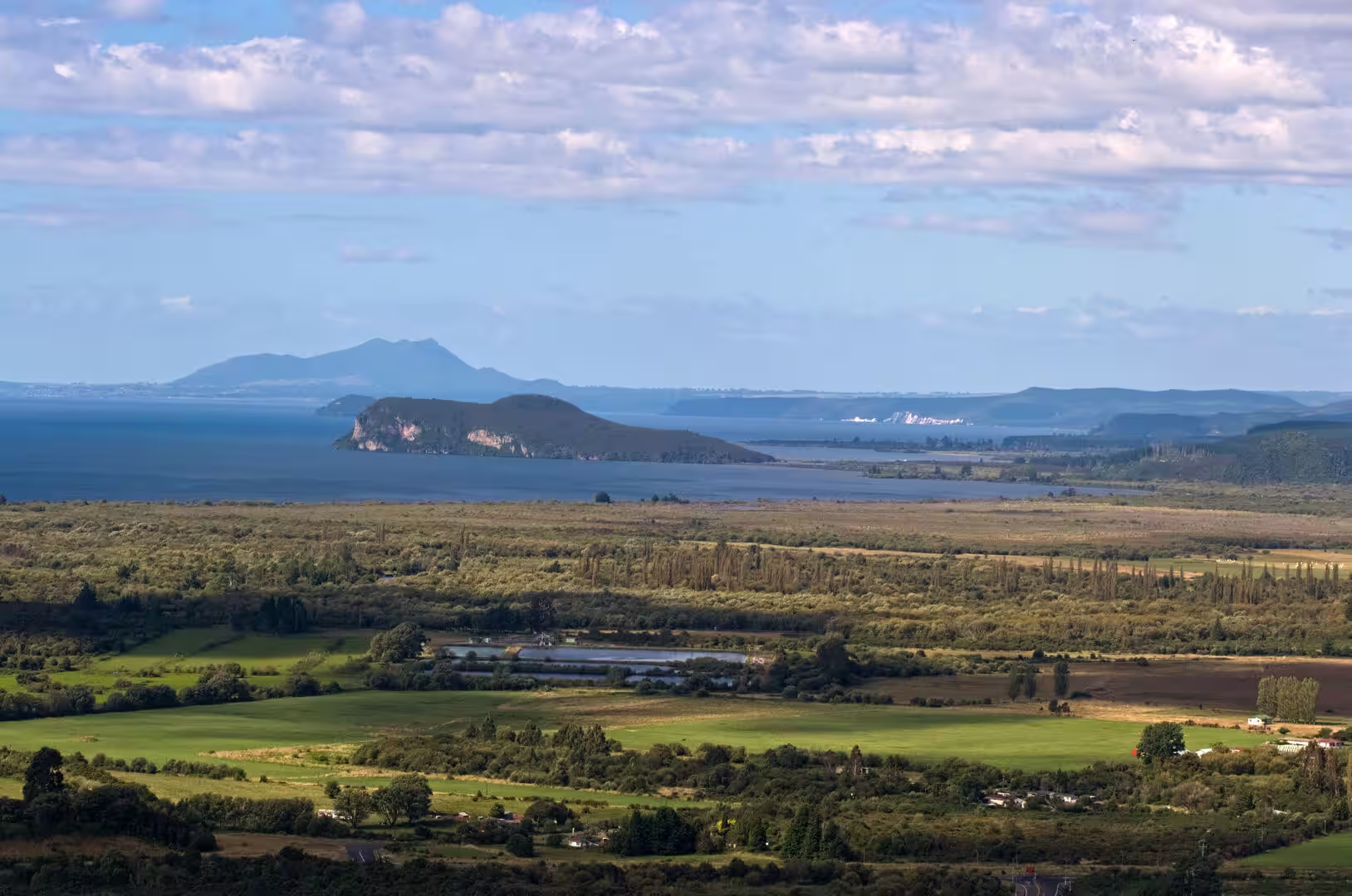
Lake Taupō itself is the region’s great playground. Its beaches and sheltered bays ring the shore, and its exceptionally clear water makes it one of the country’s finest swimming and boating lakes. It is above all a noted trout fishery: brown trout were introduced in 1887 and rainbow trout in 1898, and both now grow to trophy size in the lake, with the river mouths of the Waitahanui and the Tongariro among the most famous angling stations in New Zealand. The small island of Motutaiko lies off the south-eastern shore, and the lake as a whole, whose bed belongs to Ngāti Tūwharetoa, is freely open to the public for recreation.
The Waikato River walkway gives the easiest introduction to the river that drains the lake. The track starts at Spa Thermal Park on the northern edge of Taupō, crosses the Otumuheke Stream, where naturally heated water flows into the river and has formed popular bathing pools, and then follows the bush-clad banks of the Waikato, climbing onto bluffs with views down into the gorge, before ending at the Huka Falls car park; a longer route continues beyond the falls to Aratiatia.
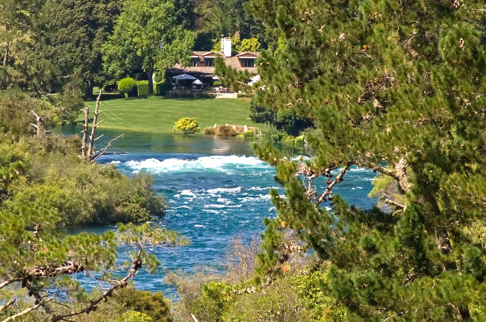
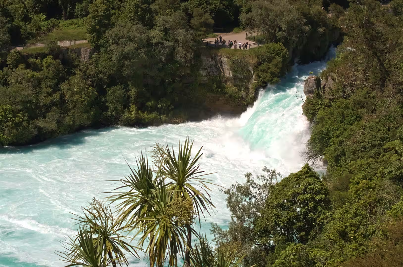
Huka Falls, a short drive north of Taupō on Huka Falls Road, is the signature sight of the district. There the Waikato, some 100 metres wide a short distance upstream, is forced through a rock channel only 15 metres across and pours over a series of ledges before its main plunge. The drop is a modest 11 metres, but the sheer volume of water, commonly approaching 220 cubic metres per second, ranks the falls among the highest-flowing waterfalls in the world and gives them a startling force and a deep blue-green colour. Lookout points set into the rock above the chasm let visitors look straight down into the cauldron, and the riverbank track from Taupō makes the falls easy to reach on foot.
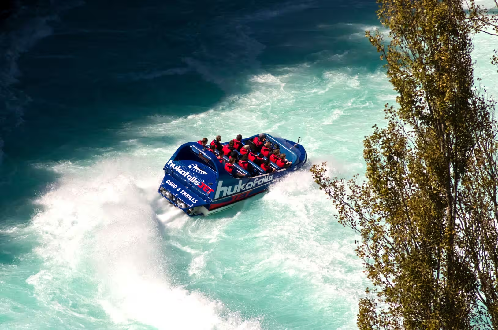
Jet boats and Huka Prawn Park share the river just below the falls. Jet boats have worked this stretch of the Waikato since 1990, taking passengers at speed through the rapids and to the very foot of the falls, the only craft permitted so close to them. On the riverbank nearby, Huka Prawn Park farms giant Malaysian river prawns in ponds heated with geothermal waste water from the Wairakei station; opened in 1987 and still New Zealand’s only prawn farm, it combines its hatchery and rearing ponds with prawn fishing pools, a riverside restaurant and family activities.
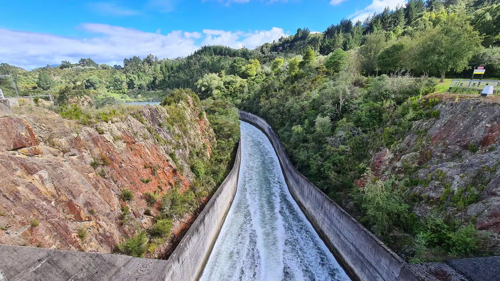
Aratiatia Rapids, about 10 kilometres north of Taupō on Aratiatia Road off State Highway 5, are the last spectacular reach of the river before the hydro country begins. Here the Aratiatia dam, the uppermost of the Waikato’s eight hydro dams, holds back the water, and below the dam the gorge lies almost dry. Several times a day, at 10 am, noon and 2 pm, with an extra release at 4 pm between October and March, the spill gates open and the river thunders back through the gorge for a quarter of an hour, watched from fenced lookout points on the high bluffs.
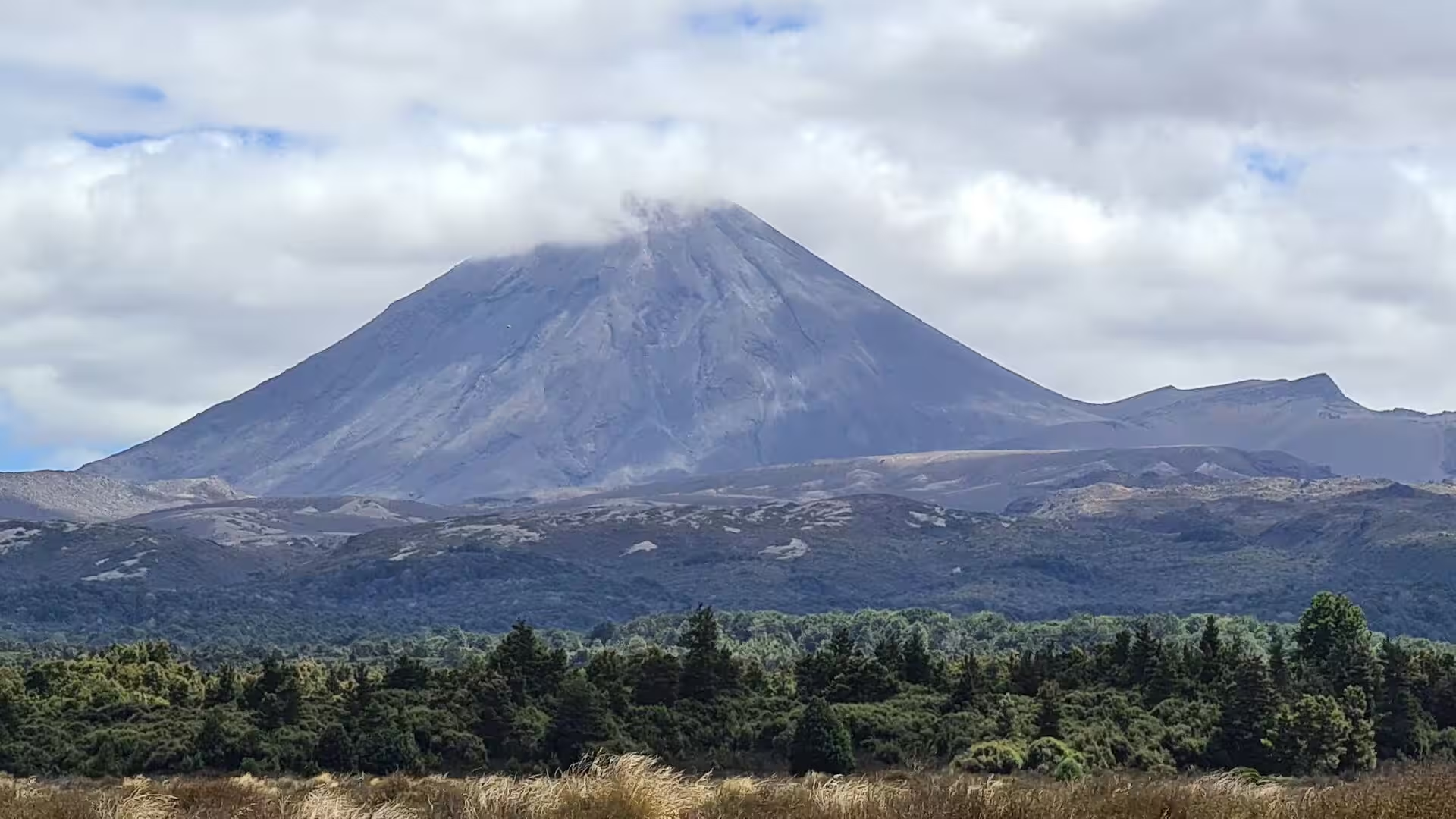
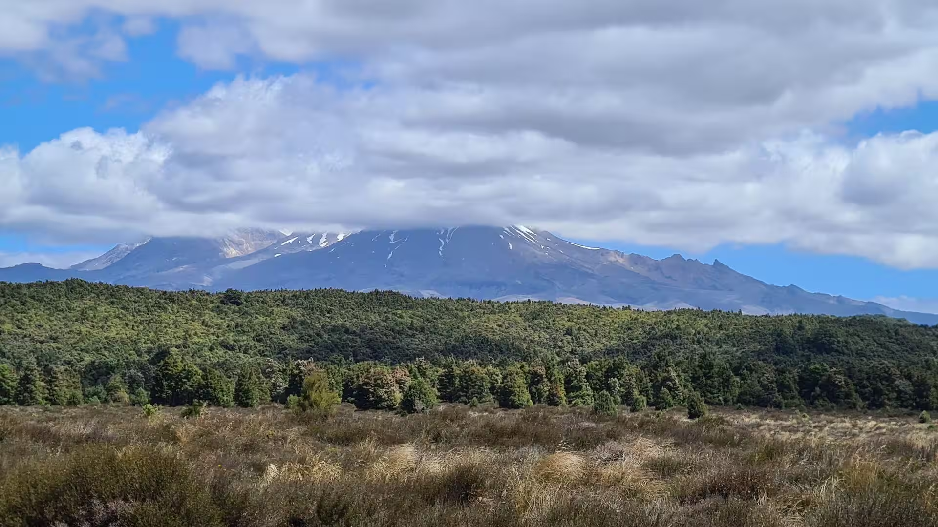
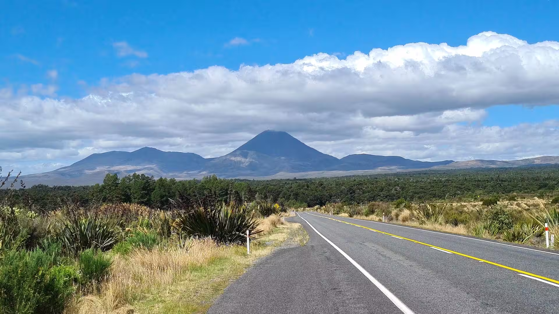
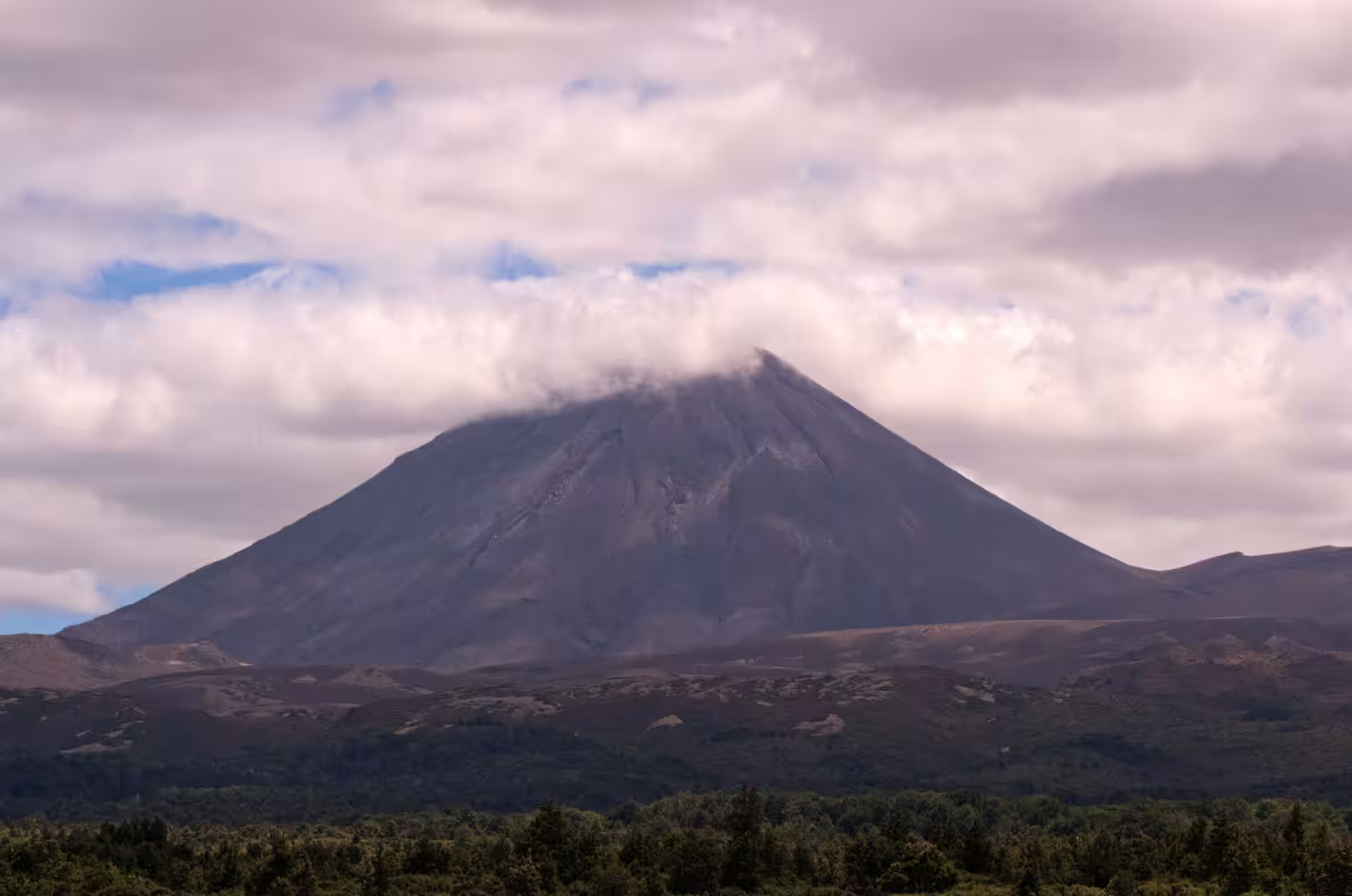
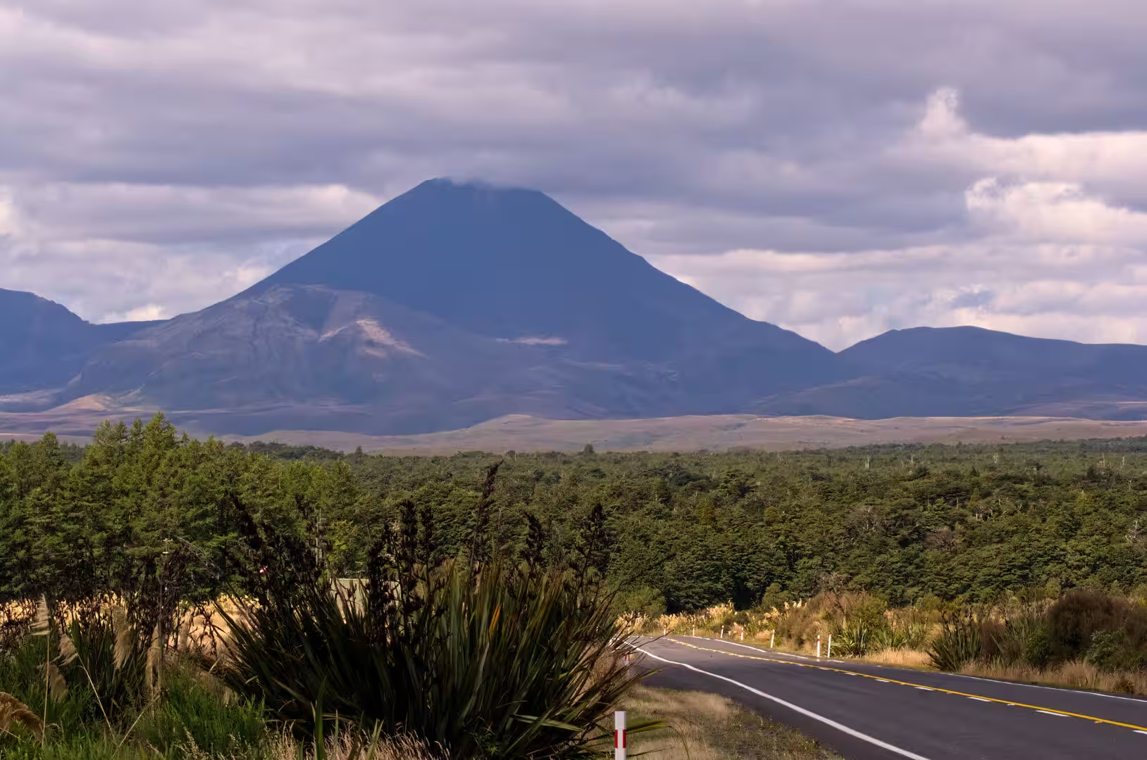
Tongariro National Park fills the southern horizon of the lake district. Its three active volcanic mountains, Ruapehu, Ngauruhoe and Tongariro, form the massif whose summits were given to the nation in 1887 and protected as New Zealand’s first national park from 1894. The park is a dual World Heritage Site, recognised for both its volcanic landscapes and its deep spiritual meaning for Ngāti Tūwharetoa, and its Tongariro Alpine Crossing is widely regarded as one of the world’s finest one-day walks. From the lake’s southern shores, Ngauruhoe in particular shows as a near-perfect cone, and the summits of the park remain tapu to Ngāti Tūwharetoa.
References
- Grace, John Te H. (1959). Tuwharetoa: A History of the Maori People of the Taupo District. Wellington: Reed.
- Martin, John E. (1991). People, Politics and Power Stations: Electric Power Generation in New Zealand, 1880-1990. Wellington: Bridget Williams Books and Electricity Corporation of New Zealand.
- Williams, Karen (2013). Volcanoes of the South Wind: A Volcanic Guide to Tongariro National Park. Auckland: Random House New Zealand.
- Spa Park to Huka Falls Walk. www.doc.govt.nz/parks-and-recreation/places-to-go/central-north-island/places/taupo-area/things-to-do/spa-park-to-huka-falls-walk/
- Huka Falls to Aratiatia Rapids Track. www.doc.govt.nz/parks-and-recreation/places-to-go/central-north-island/places/taupo-area/things-to-do/huka-falls-to-aratiatia-rapids-track/
- Aratiatia Rapids. www.lovetaupo.com/en/scenic-attractions/aratiatia-rapids/
- About Huka Falls Jet. www.hukafallsjet.com/about/
- Lake Taupō. en.wikipedia.org/wiki/Lake_Taupō
- Taupō. en.wikipedia.org/wiki/Taupō
- Huka Falls. en.wikipedia.org/wiki/Huka_Falls
- Taupō Volcano. en.wikipedia.org/wiki/Taupō_Volcano
- Wairakei Power Station. en.wikipedia.org/wiki/Wairakei_Power_Station
- Ngāti Tūwharetoa. en.wikipedia.org/wiki/Ngāti_Tūwharetoa
- Tongariro National Park. en.wikipedia.org/wiki/Tongariro_National_Park
- Aratiatia Power Station. en.wikipedia.org/wiki/Aratiatia_Power_Station
- Huka Prawn Park. en.wikipedia.org/wiki/Huka_Prawn_Park