Day 3 - Rotorua
18 July 2023













Journal Notes
General
Rotorua is a city on the southern shore of Lake Rotorua, in the Bay of Plenty region of New Zealand’s North Island. It is the seat of the Rotorua Lakes District, named after the cluster of lakes around the town. The 2023 census counted 55,326 residents, which makes Rotorua the country’s 13th largest urban area and the Bay of Plenty’s second largest town after Tauranga. It also records the highest proportion of Māori residents of any New Zealand city, a reflection of the Te Arawa heritage of the lakes district.
The full Māori name of the town and lake is Te Rotorua-nui-a-Kahumatamomoe, the second great lake of Kahumatamomoe. The ancestral explorer Ihenga gave it this name because it was the second lake he had discovered, dedicating it to his uncle; Rotorua simply means second lake. The character of the settlement is set by the volcanic basin it occupies. Steam rises from parks, road verges and the lake shore, and the faint smell of hydrogen sulphide hangs over the streets, which has earned the town the nickname Sulphur City.
Rotorua has been a tourist town since the 19th century and remains one of New Zealand’s leading destinations for domestic and international visitors. Tourism and Māori cultural tourism sit alongside forestry, dairy and sheep farming in the lake catchment, and geothermal energy, which heats public buildings and pools. The city is the service centre of the central North Island’s thermal region, with a hospital, a polytechnic campus and the regional airport to the north-east. The rail branch from Putaruru last carried passengers in 2001.
Inland and sheltered from coastal winds by higher country, Rotorua enjoys a mild temperate climate with warm summers, cool winters and frequent ground frosts. The surrounding farmland, forest and lakes are a draw for trout fishing, mountain biking and bush walking. Lake Rotorua itself covers 79.8 square kilometres, making it the second largest lake of the North Island by surface area, and it is the largest of a chain of volcanic lakes that continues north-eastwards through Lake Rotoiti towards the Bay of Plenty coast.
History
Te Arawa, the confederation of iwi and hapū of the Rotorua district, traces its descent from the Arawa canoe, which reached the Bay of Plenty in the 14th century. Tribal tradition holds that the district’s steam was brought by the priest Ngātoro-i-rangi, who called on his gods in Hawaiki to send fire from afar, and the fire spirits rose to the surface at the Rotorua lakes. The people who settled the shores of Lake Rotorua, the ancestors of the Ngāti Whakaue of today, built a principal settlement at Ohinemutu on the lake edge, where the hot ground was used for cooking, bathing and healing.
The centre of the lake was settled too. Mokoia Island, a rhyolite dome close to the middle of the lake, was prized for its rich volcanic soils and its strong defensive position, and its slopes were planted with kūmara. The island is the setting of New Zealand’s best-known Māori love story, that of Hinemoa and Tūtānekai: forbidden to join her lover, Hinemoa is said to have swum the 3.2 kilometres across the lake at night, guided by the sound of his flute, and to have warmed herself in the island hot spring still called Hinemoa’s Pool.
The lakeshore tribes suffered heavily in the musket wars of the 1820s. In 1823 a war party of Ngāpuhi and their allies, led by Hongi Hika and Pōmare I, attacked the Te Arawa stronghold on Mokoia Island; the defenders fell back after the loss of 170 men and the island was taken. Peace brought the first Europeans: the trader Phillip Tapsell worked from Maketu from 1828, missionaries visited in 1831, and Thomas Chapman established missions at Te Koutu in 1835 and on Mokoia Island in 1838.
Through the middle decades of the 19th century travellers reached Rotorua on the way to the Pink and White Terraces near Lake Rotomahana, and the idea of a thermal spa town took hold. In 1880 Judge Fenton conferred with 47 Māori leaders, and Ngāti Whakaue gifted about 50 acres of lakeshore land for the benefit of the people of the world, with leases to be issued through the Crown. The land, known as the Sanatorium Reserve and later laid out as the Government Gardens, became the nucleus of the new town, and the Thermal Springs District Act of 1881 gave the state sweeping powers over thermal land. The 1886 eruption of Mount Tarawera destroyed the terraces and buried the village of Te Wairoa, a heavy blow to the district’s young tourist trade.
The Rotorua branch railway and the Rotorua Express, which began running in 1894, put the spa within a day’s journey of Auckland and opened the district to mass tourism. The new town grew around the Government Gardens, with the Bath House, built between 1906 and 1908 as the government’s first major investment in tourism, as its centrepiece. The mineral waters became a fashionable cure under the government balneologist Dr Arthur Wohlmann, appointed in 1902, and the Art Deco Blue Baths of 1933 became famous for mixed bathing. Rotorua became a borough in 1922, was declared a city in 1962, and was reorganised as a district in 1979.
Excursion traffic on the lake grew with the town: the first pleasure boat was launched at Ohinemutu in 1877, and steam launches soon carried visitors, produce and timber across the water. Māori enterprise shaped the modern visitor economy from the mid-20th century, with guided tours of the Whakarewarewa thermal valley and cultural performances becoming fixtures of the town. Te Arawa later settled its historical grievances directly with the Crown: an agreement over the beds of 14 lakes followed in 2004, and a 2006 settlement of all claims brought $36 million, up to 500 square kilometres of Crown forest land and 19 sites of special significance, among them the Whakarewarewa Thermal Springs Reserve.
Geology
Lake Rotorua occupies the crater of one of the large rhyolitic volcanoes of the Taupō Volcanic Zone, the band of intense volcanic activity that runs north-east across the North Island from Mount Ruapehu to White Island. The zone has been active for at least two million years, and its eruptions, fed by magma rising behind the Hikurangi subduction zone, have built calderas, lava domes and volcanic lakes.
The basin itself is the Rotorua Caldera, formed in a catastrophic eruption about 240,000 years ago, when the volcano ejected a huge volume of rhyolitic pumice and ash as the Mamaku ignimbrite and the ground collapsed into the emptied magma chamber. The caldera depression, formed of two offset basins, now holds the shallow waters of the lake. The Mamaku ignimbrite forms the forested plateau that rises west of the lake, and younger rhyolite domes such as Mount Ngongotaha were later pushed up through the caldera floor.
After the main collapse, smaller eruptions continued within the caldera for hundreds of thousands of years. Mokoia Island is a rhyolite dome less than 50,000 years old that broke the surface of the young lake, and the lake level itself has swung widely as eruptions and faulting dammed and drained the basin; at times it stood far higher than today, lapping the flanks of the Ngongotaha dome before breaking out through the Hemo Gorge. Today the lake drains north-east through the short Ohau Channel into Lake Rotoiti and down the Kaituna River to the Bay of Plenty coast. For all its size it is shallow, averaging only about 10 metres in depth, so wind easily stirs sediment from its floor and discolours the water.
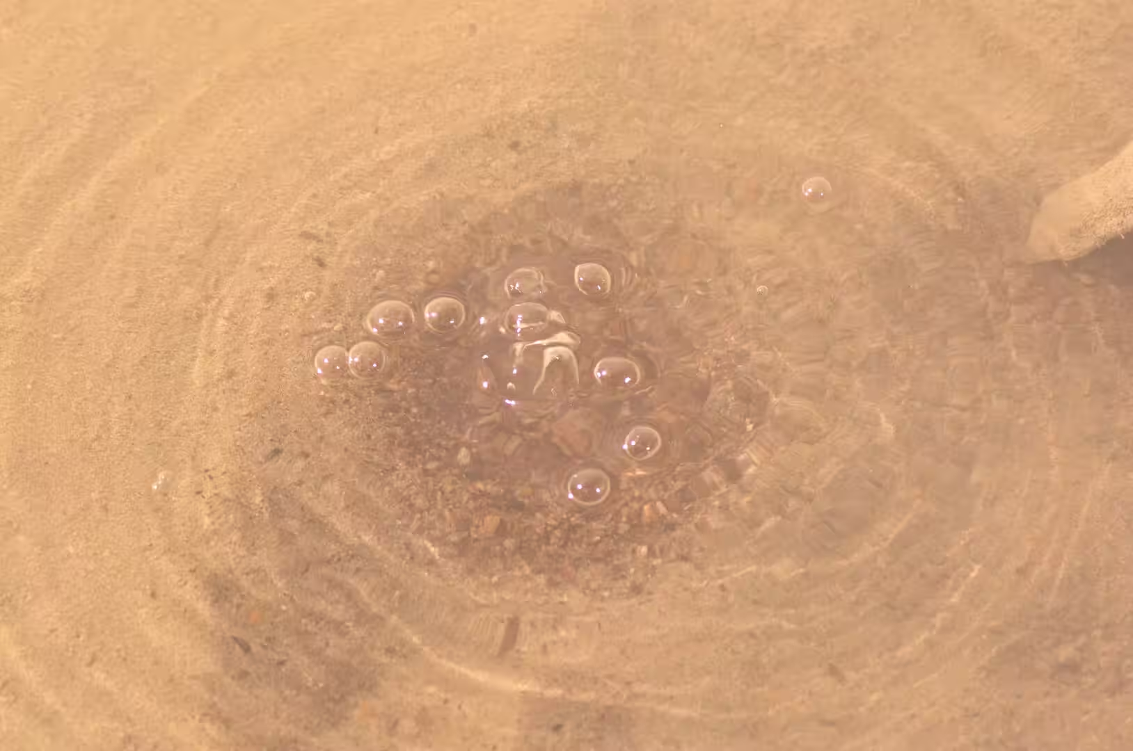
Mapping of the lake floor published in 2023 revealed an ancient river valley winding across the bed, and thousands of gas pockmarks up to 50 metres across, formed where methane seeps from the sediment. Immediately offshore from Sulphur Point the surveys found a field of hydrothermal eruption craters plunging to depths of more than 50 metres, where hot, acidic fluid still vents into the cold lake water. These vents are the offshore arm of the Rotorua geothermal field beneath the city, where heated groundwater ascends along faults at the margin of the caldera, feeding the hot springs, geysers, fumaroles and mud pools that run from Kuirau Park through the town to Whakarewarewa. Rising steam and acidic gases rot the rhyolite and ignimbrite into clay, and the clay mixed with condensing steam forms the bubbling mud pools of the district.
The thermal waters colour the lake itself: springs rich in dissolved minerals and sulphur compounds enter along the southern shore and give parts of the lake a yellowish-green or milky tint, the Utuhina tributary runs warm into the lake, and cold spring-fed streams such as the Hamurana enter from the north. Human use shaped the field: bores drilled for heating from the 1950s drew down the underground steam so far that the geysers of Whakarewarewa faltered, and a bore closure programme in 1987 and 1988, which cemented shut 106 wells close to Pōhutu Geyser and closed some 120 others, saw them recover markedly. Rotorua is one of several large centres of the zone: the Okataina centre and Mount Tarawera, whose eruption of 1886 killed more than 100 people, lie to the east and the Taupō volcano to the south, and the district’s systems remain closely monitored.
Things to See
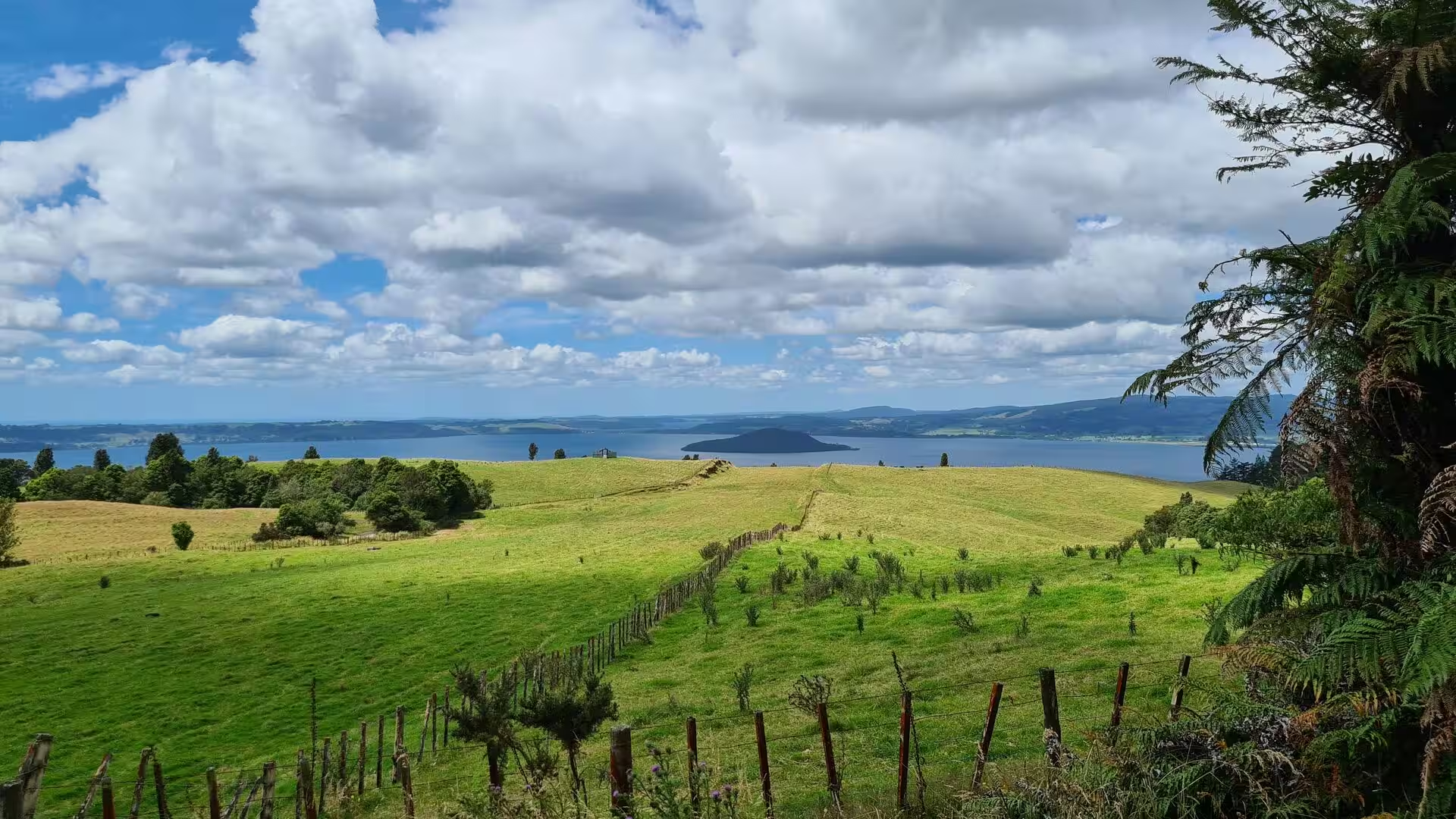
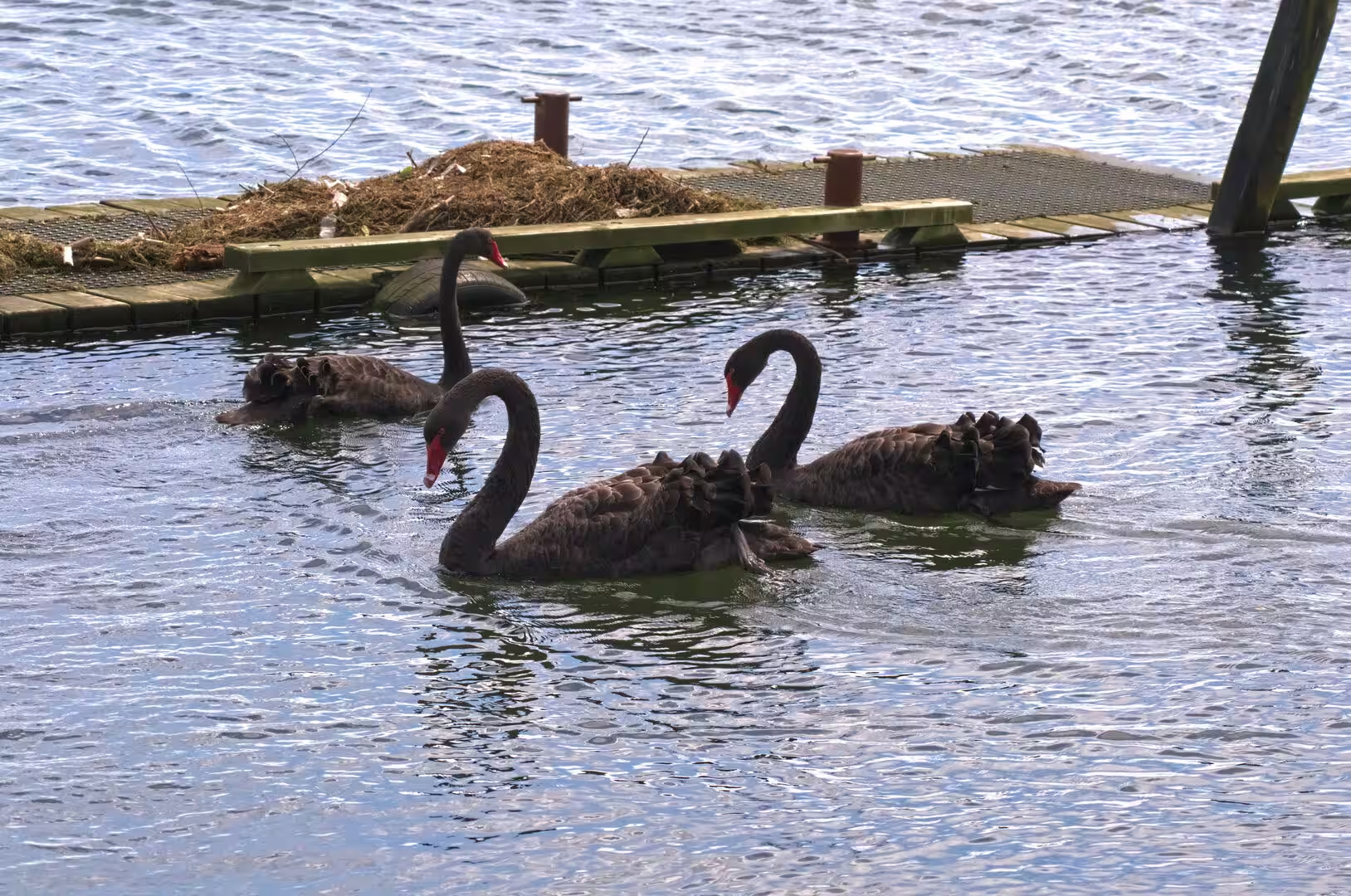
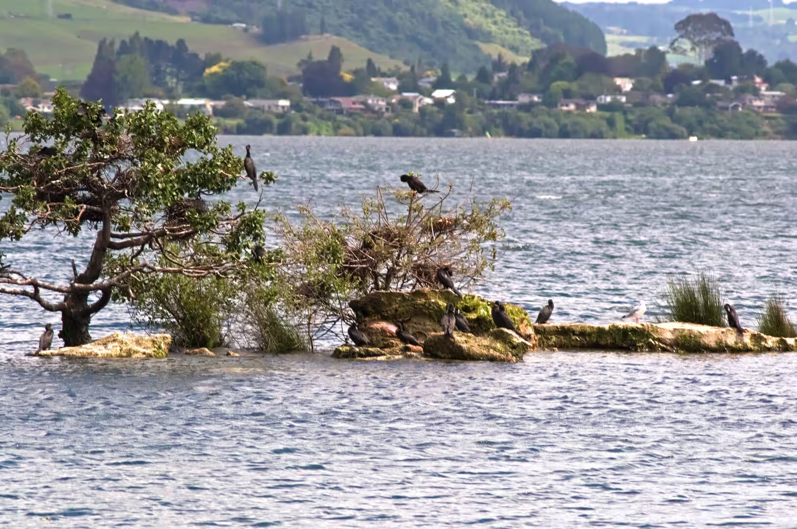
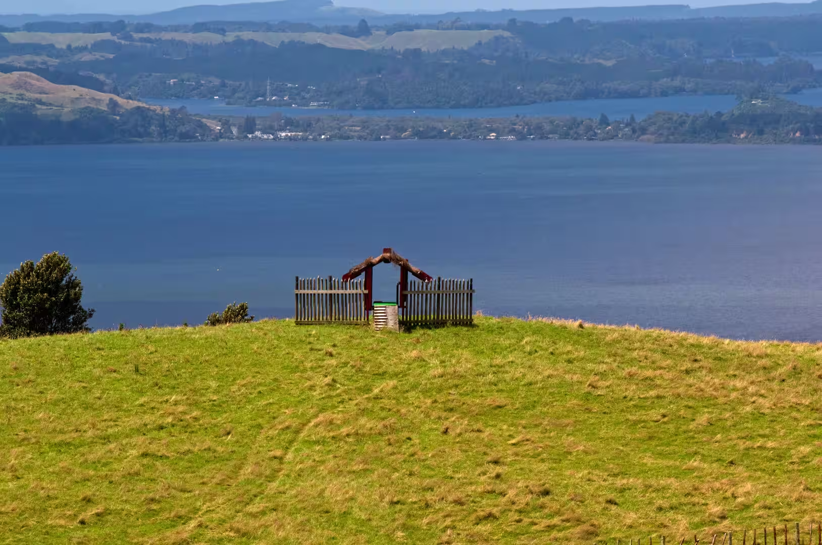
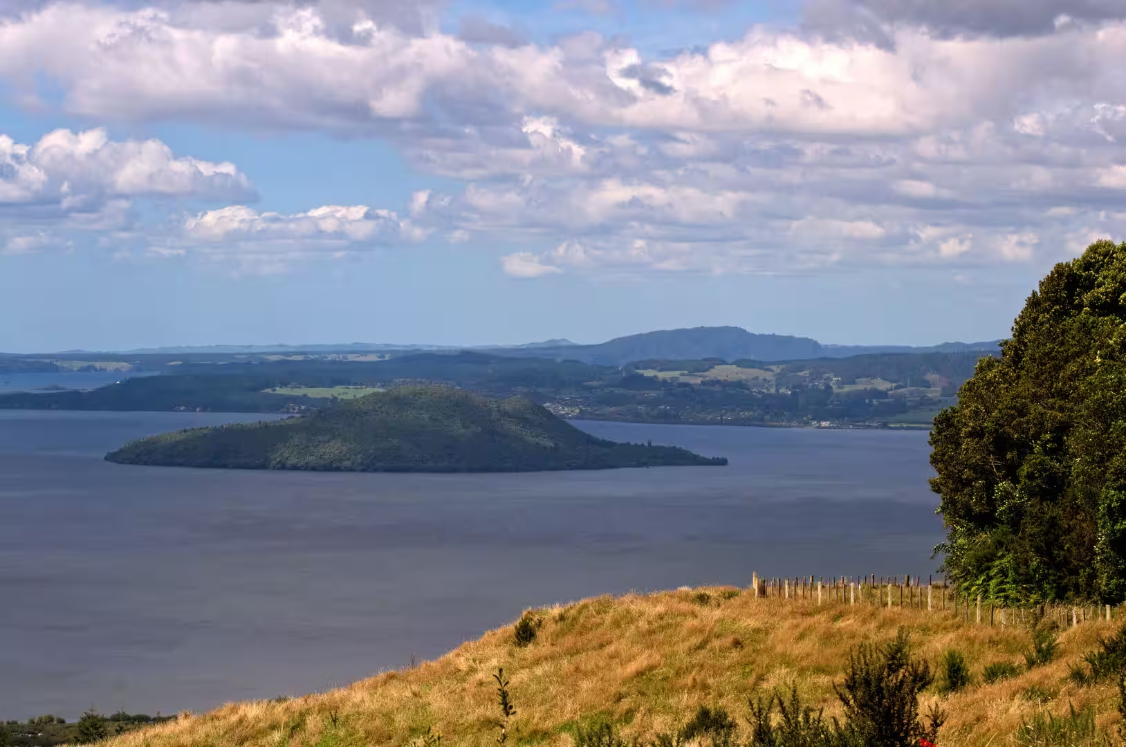
Lake Rotorua and the lakefront dominate the town. With an area of 79.8 square kilometres the lake is the second largest of the North Island, yet it is so shallow that it is best explored from the water or from the walks and jetties of its southern shore. The lakefront walkway runs along the town edge, and the waters are stocked with rainbow and brown trout, the trout of the Rotorua lakes, reared at the Fish and Game hatchery at Ngongotaha, drawing anglers from all over the world. Black swans paddle close to the shore among the reeds, pukeko forage on the lawns, and on calm days the view reaches across the water to forested slopes and the low, tree-covered island near the centre of the lake.
Mokoia Island rises 180 metres above the water close to the middle of Lake Rotorua, a rhyolite dome of 1.35 square kilometres that is uninhabited and privately owned by the local Māori iwi, who manage it as a bird sanctuary with the Department of Conservation. Its regenerating bush shelters North Island kōkako, North Island brown kiwi and a breeding population of the North Island saddleback, and access is limited to organised tour parties. On the geothermal foreshore, the hot pool called Waikimihia, better known as Hinemoa’s Pool, marks the traditional endpoint of the legendary swim from the mainland.
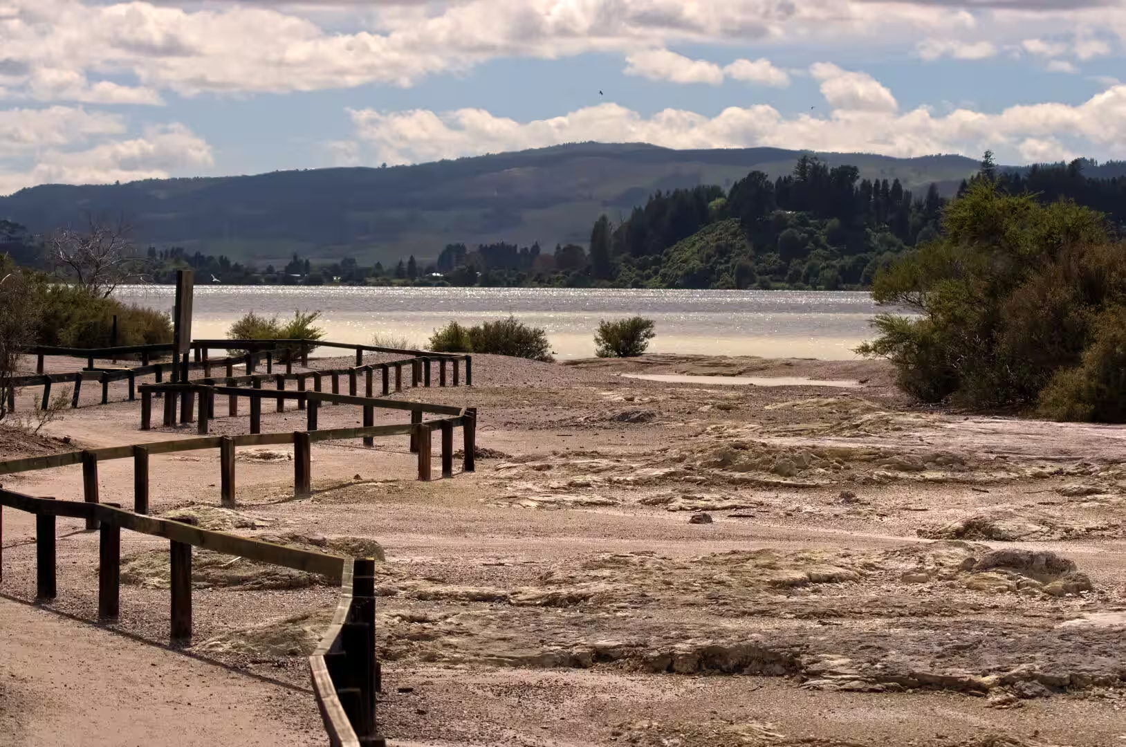
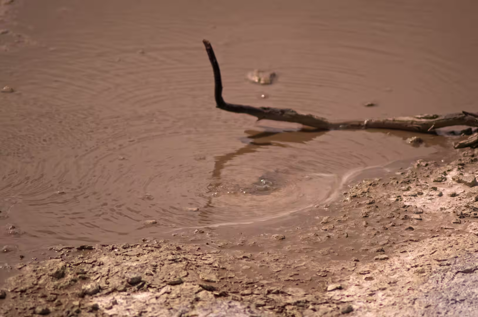
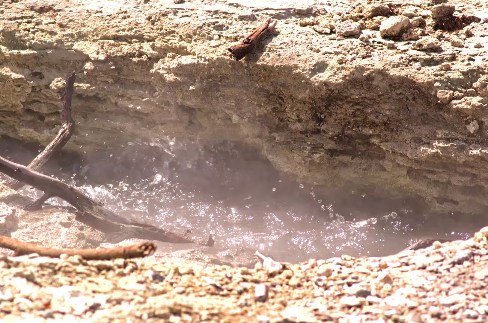
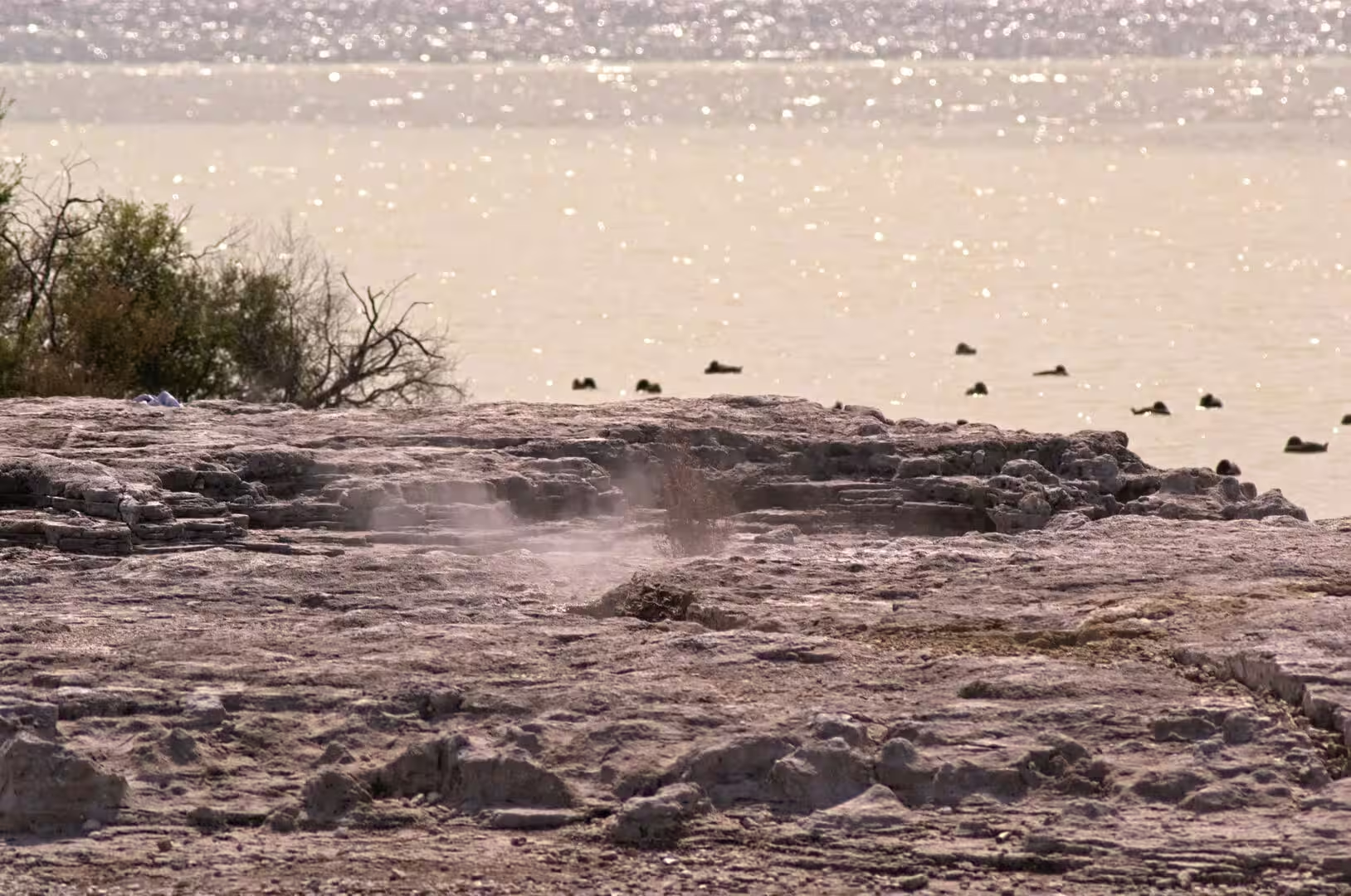
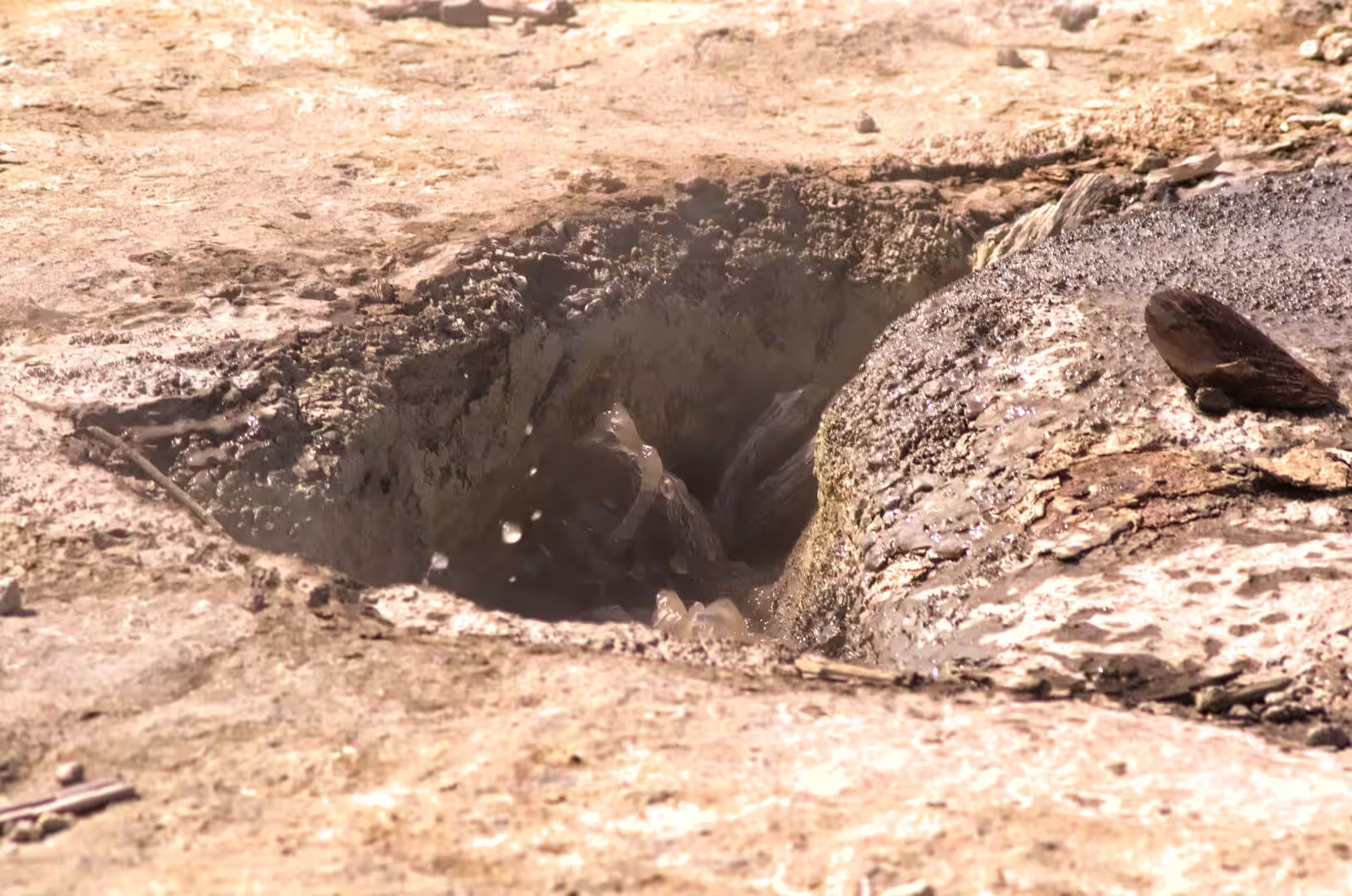
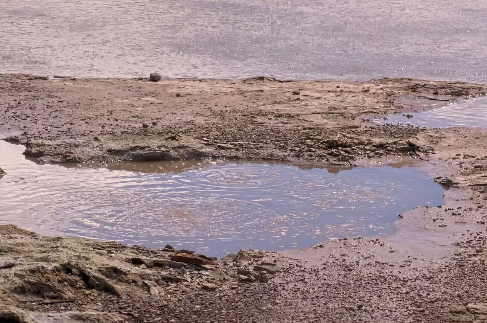
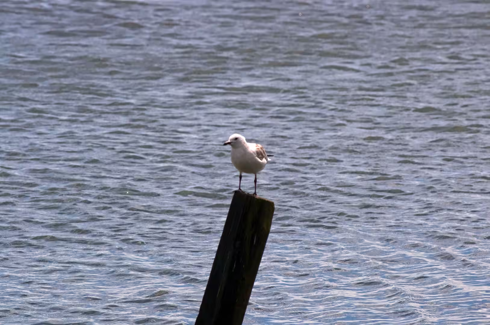
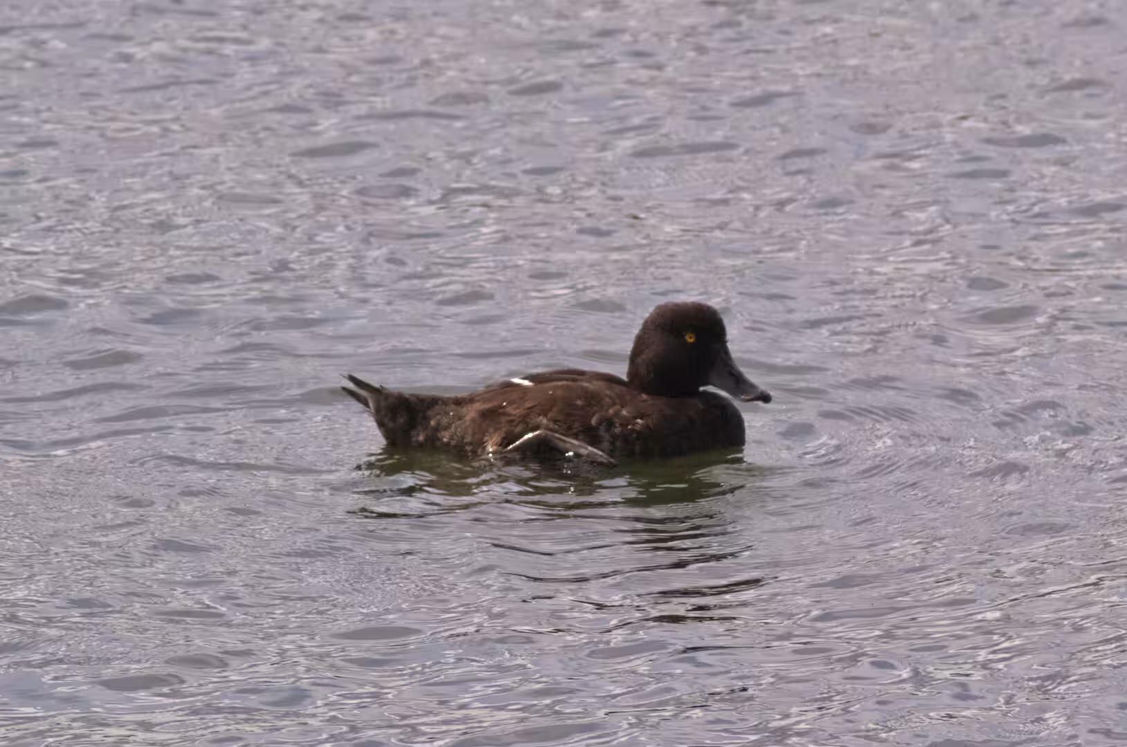
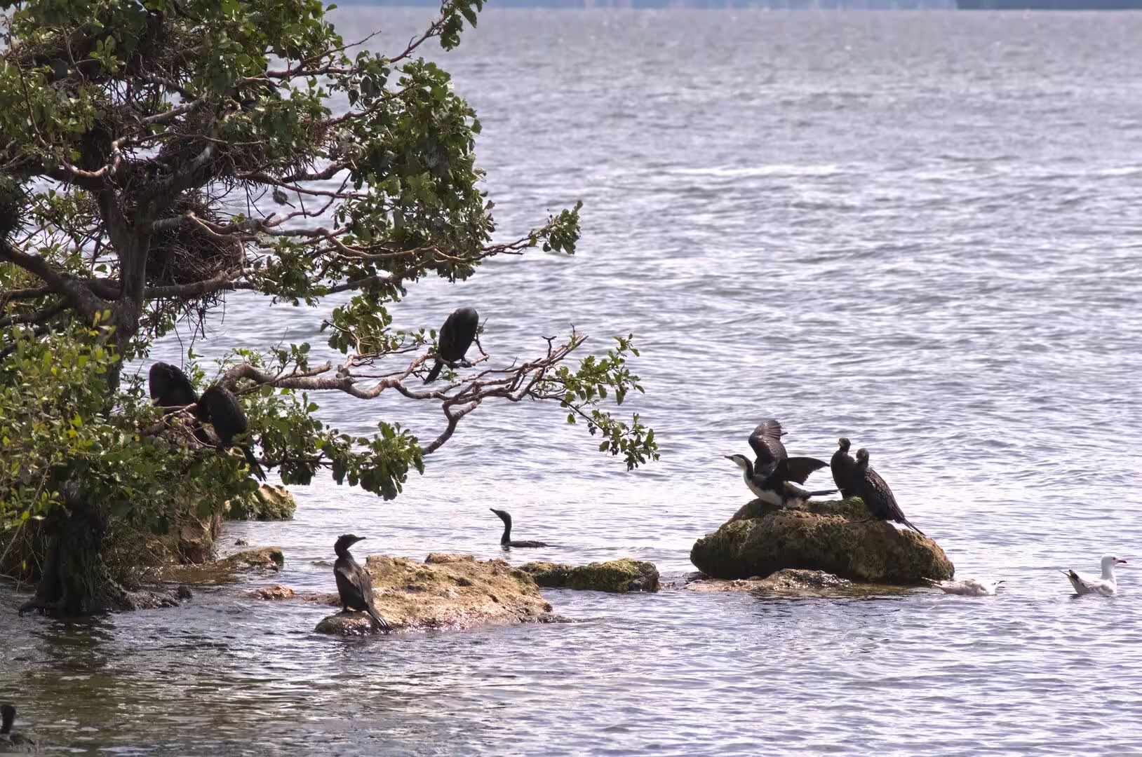
Sulphur Bay, the south-eastern corner of the lake within easy walking distance of the city centre, is where the geothermal character of Rotorua is most visible at the water’s edge. A 145-hectare wildlife refuge protects a wetland of silica flats, rocky terraces, sulphur-encrusted ledges, steaming vents and shallow boiling mud pools, threaded by boardwalks that keep visitors off the fragile, scalding ground. Warm, acidic and mineral-laden water seeps into the bay, where fine suspended sulphur particles turn the shallows milky and pale. The refuge is a haven for waterbirds: the nationally threatened New Zealand dabchick, banded dotterel and black-billed gull breed here, and black swans, scaup, pukeko and shags are regulars along the shore.
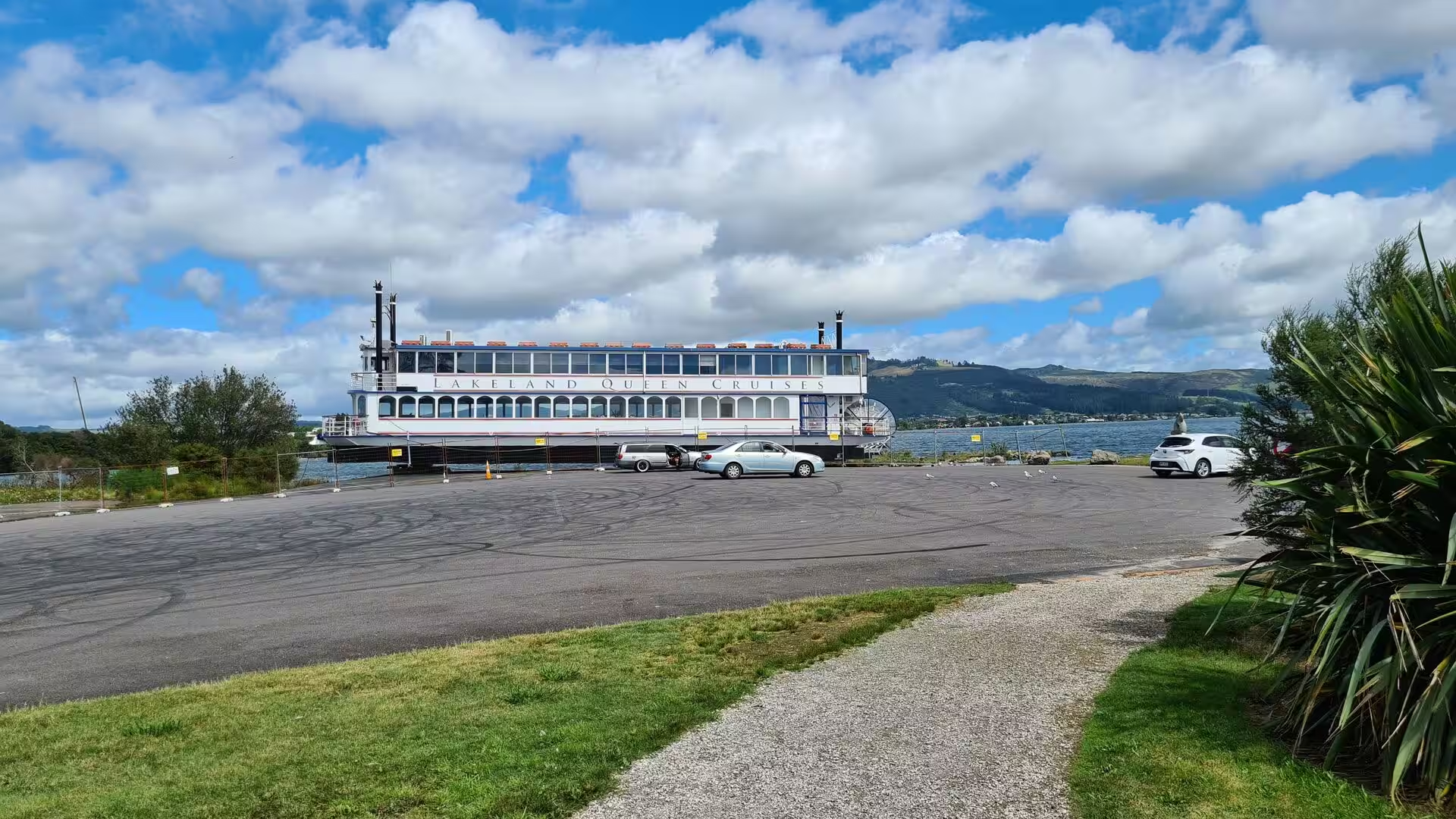
The Lakeland Queen is a sternwheeler in the style of the historic Mississippi paddle steamers, built in Rotorua in 1986 and launched on 26 October that year as the only sternwheeler passenger vessel in New Zealand. For more than three decades she carried diners on cruises from her berth at the foot of the town; after the collapse of the tourist trade during the pandemic she was lifted out of the water in 2021 and has since stood on the slipway at Sulphur Point beside the Government Gardens, where her white hull and paddle box remain a familiar landmark of the lakefront.
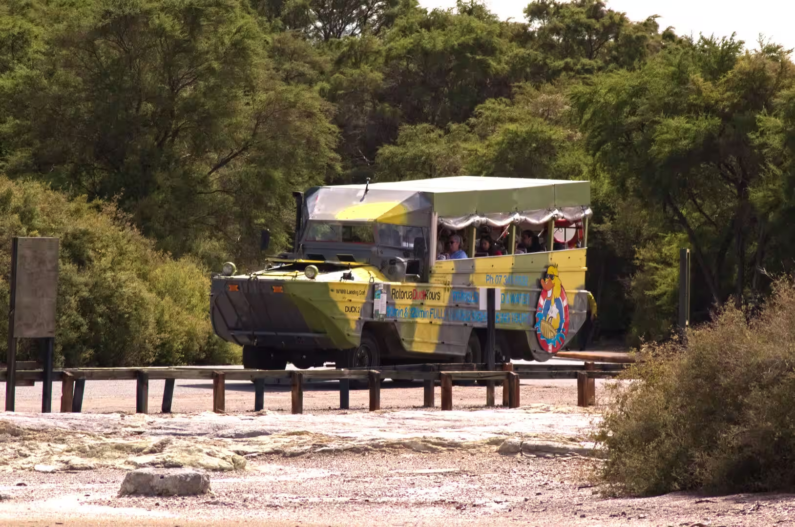
Amphibious sightseeing vehicles, the bright yellow duck boats of Rotorua Duck Tours, are a common sight on the roads and in the shallows. The tours use restored amphibious trucks of Second World War design, and passengers stay aboard as the vehicles rumble through the streets of the town, past its heritage buildings and across geothermal ground, before splashing down the ramps and cruising the lake itself. The standard city and lakes tour makes two splashdowns; longer excursions reach Lake Tarawera.
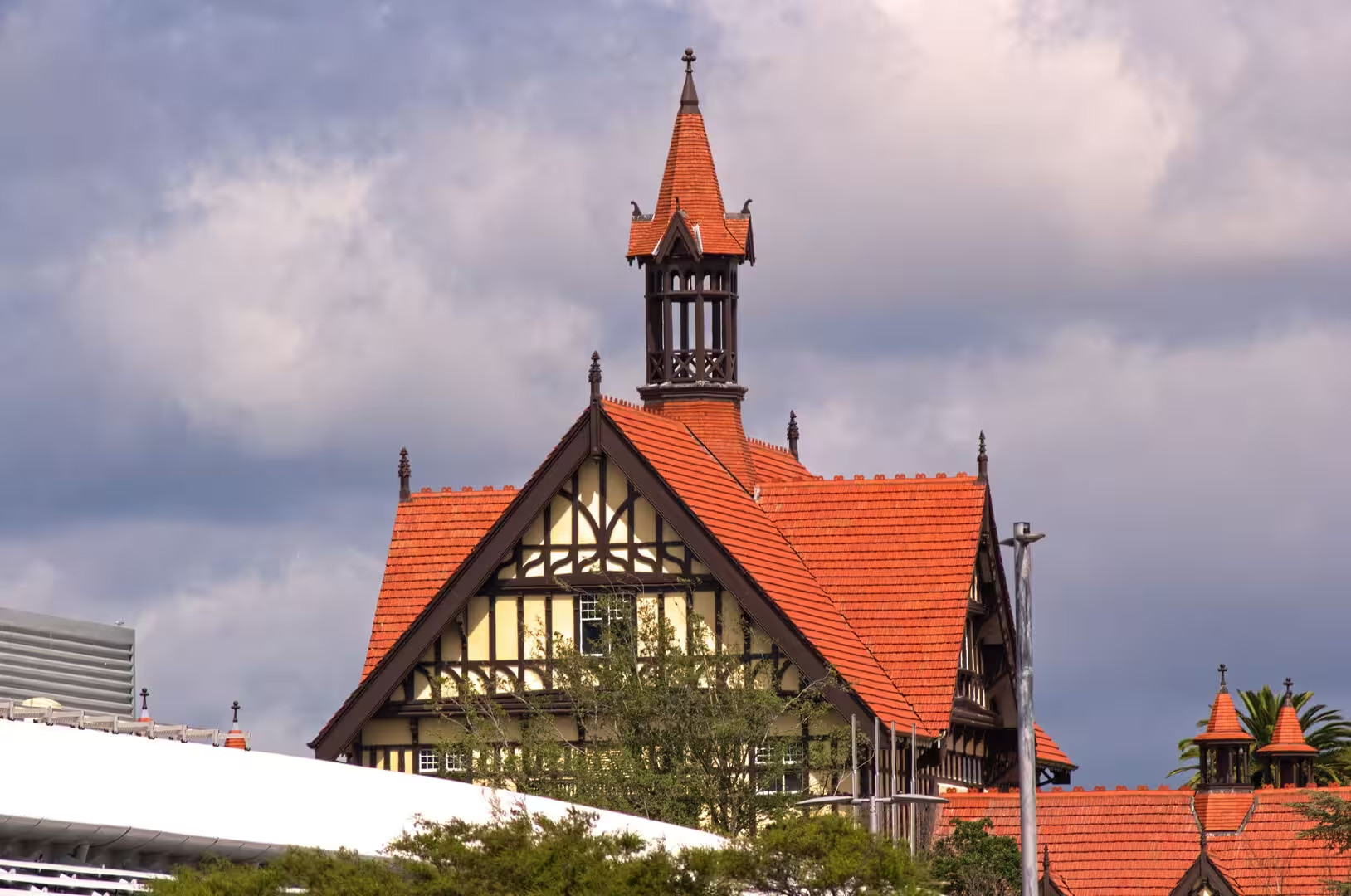
The former Bath House in the Government Gardens is the grandest of Rotorua’s spa-era buildings. The Department of Tourist and Health Resorts built it between 1906 and 1908 as New Zealand’s first purpose-built spa, at a cost of about 40,000 pounds. Built in the timbered revival styles of the English Renaissance, it is a long, half-timbered block with gabled wings and towers, its walls framed in dark timber and its steep roofs crowned with red clay tiles. Bathing treatment continued there until 1966; since 1969 the wings have housed the Rotorua Museum of Art and History and its collection of more than 2,000 Māori taonga, though the museum has been closed since 2016 for earthquake strengthening. The surrounding Government Gardens, laid out on land gifted by Ngāti Whakaue in 1880, remain the green heart of the town, with lawns, flower beds and the Art Deco Blue Baths at their lakeward edge.
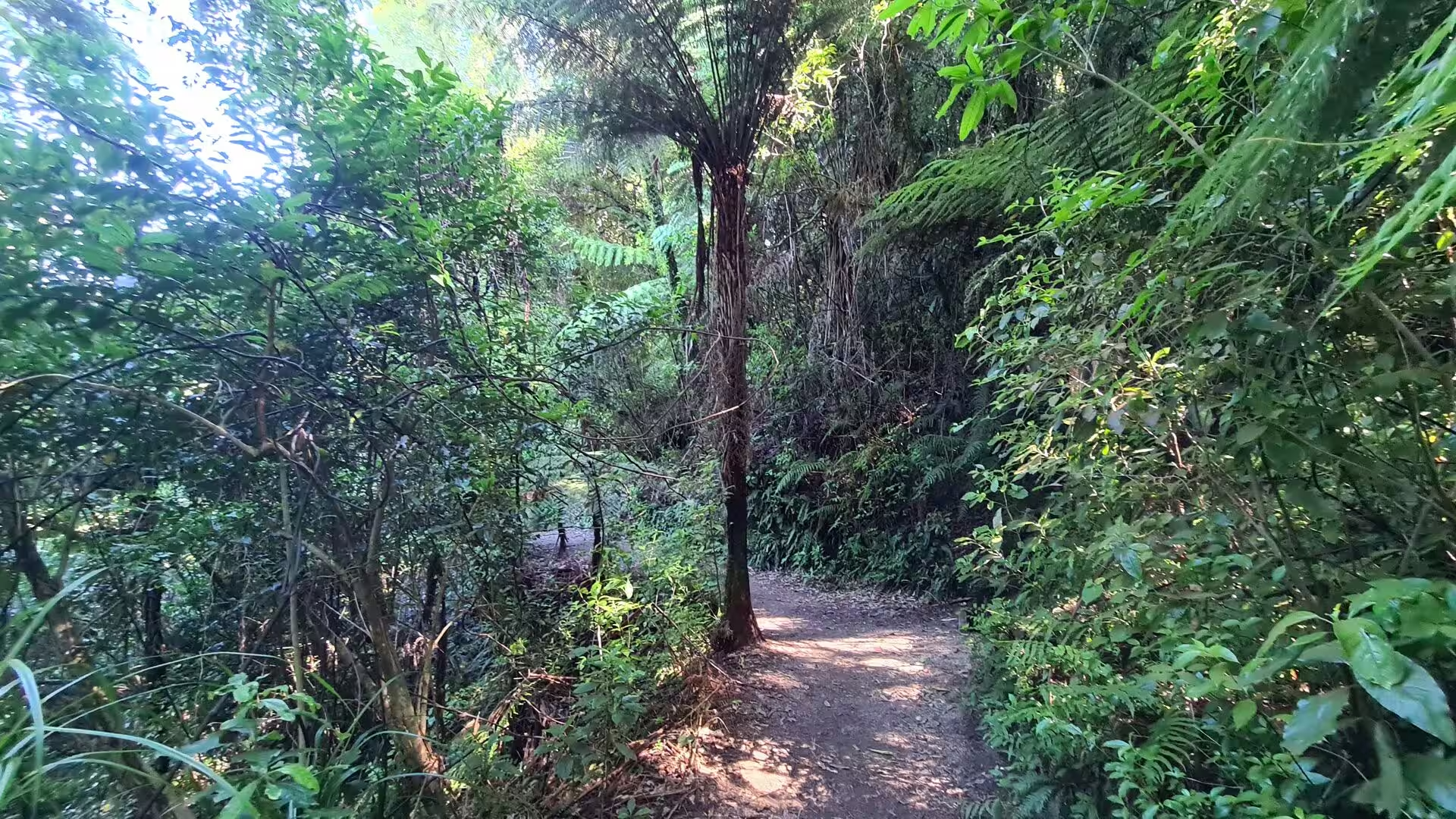
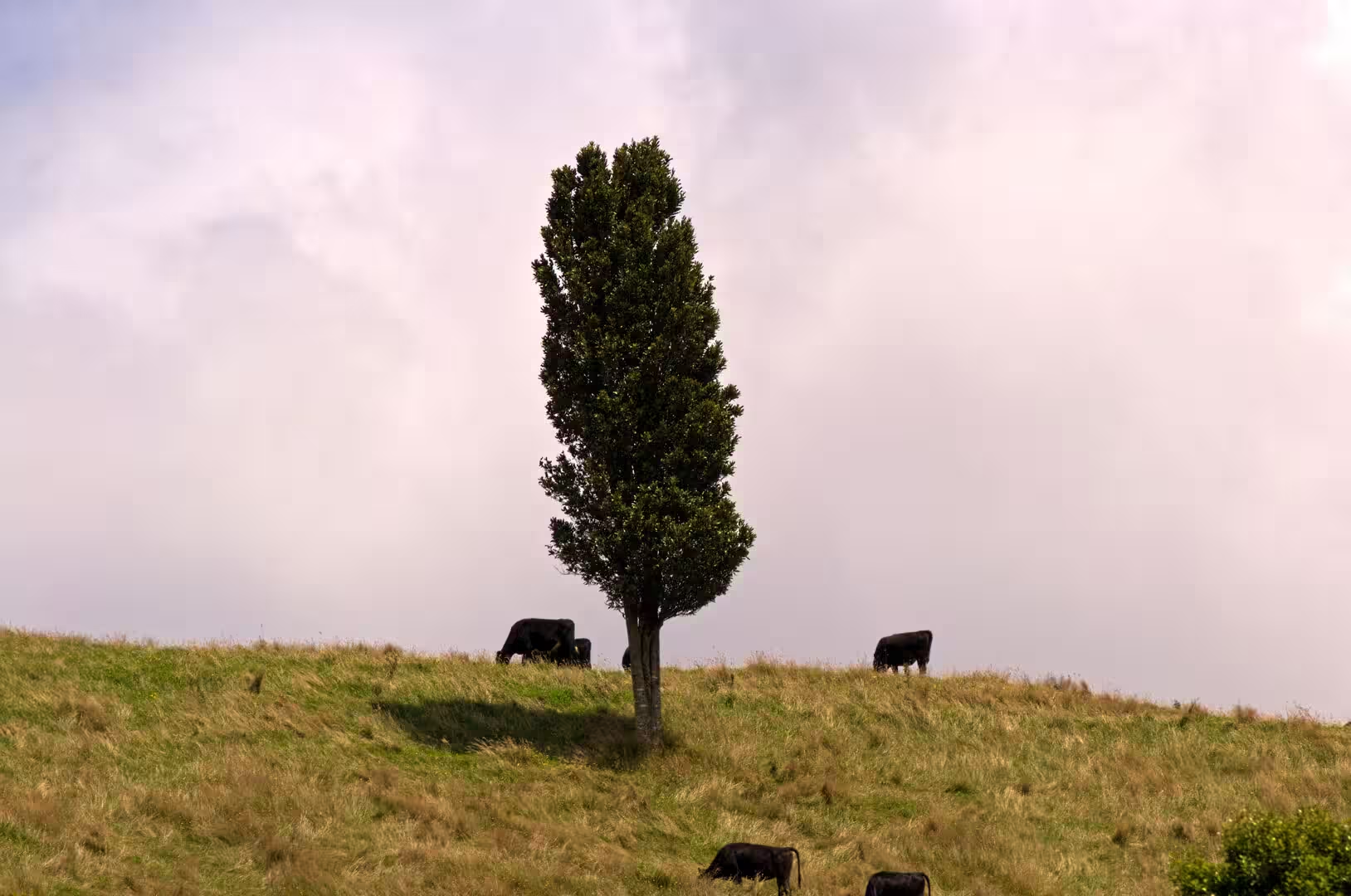
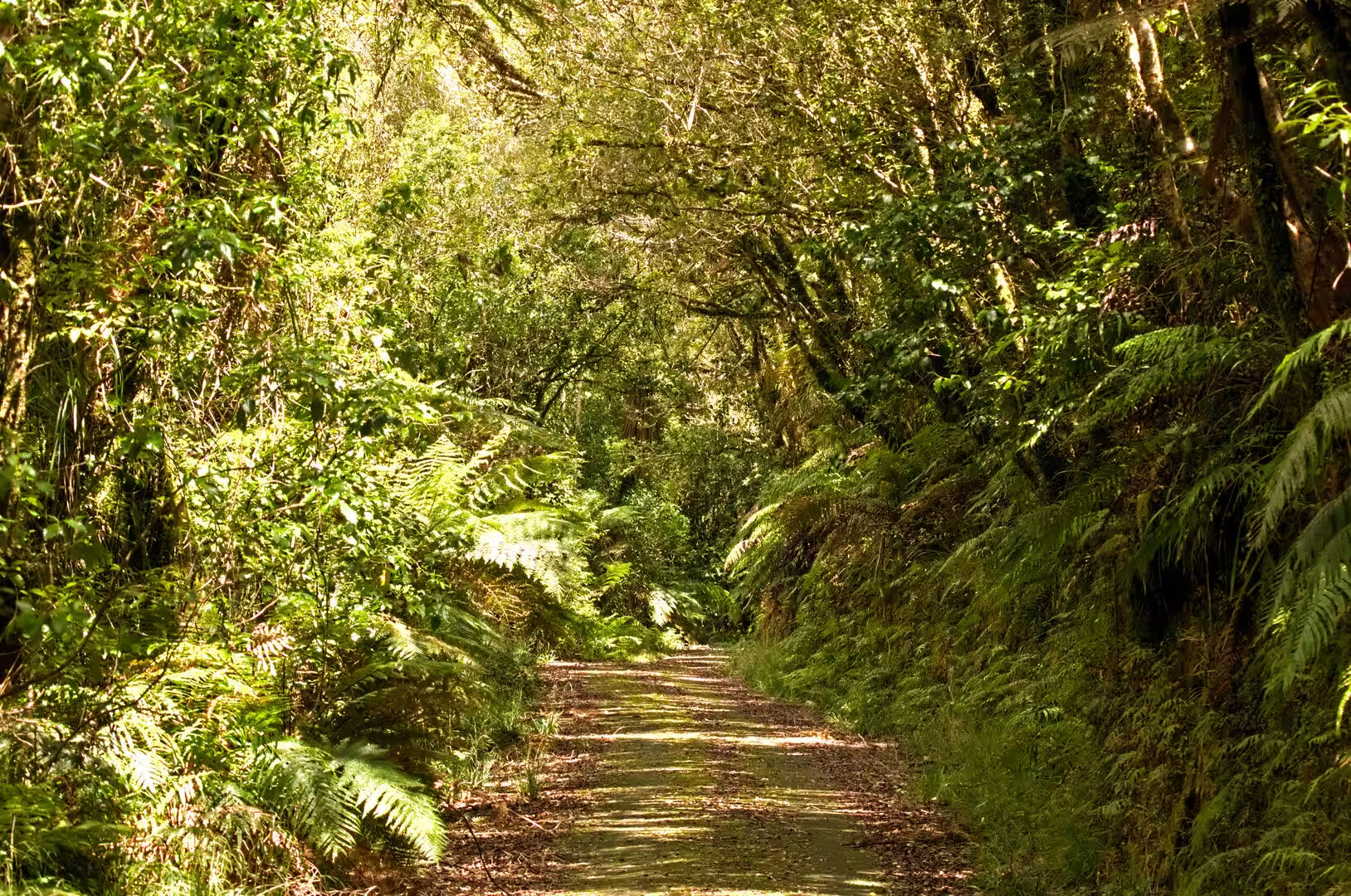
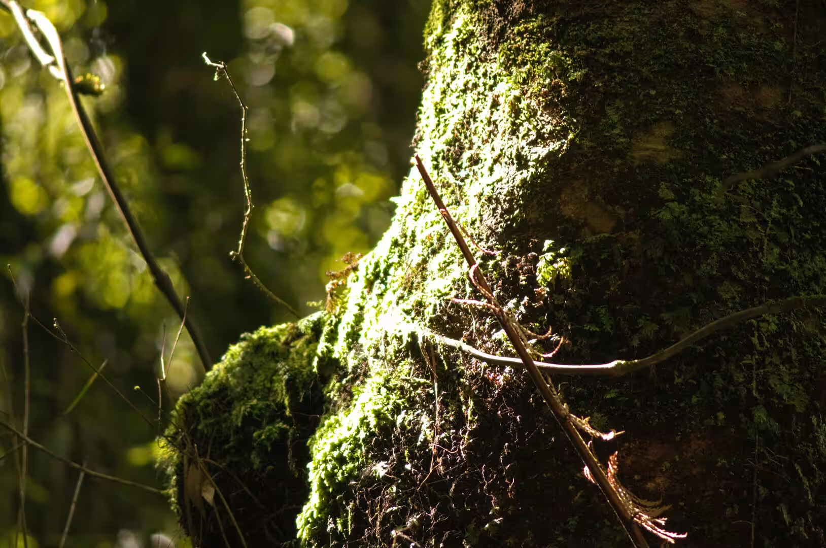
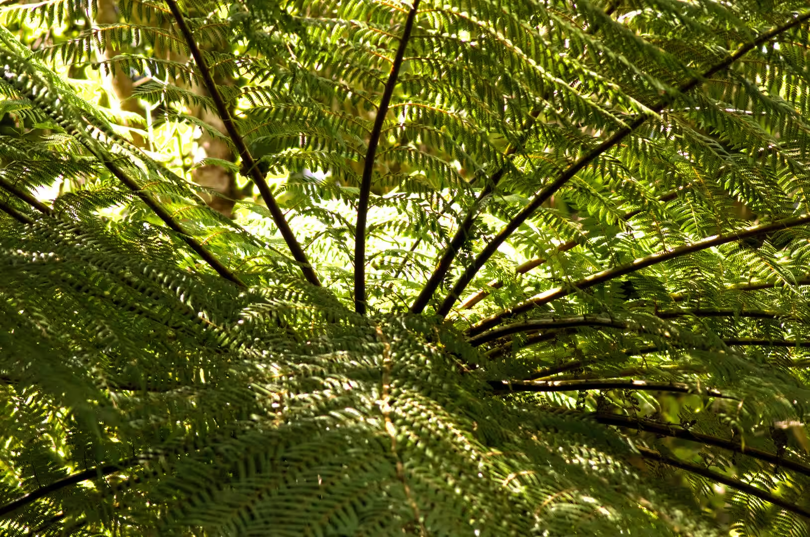
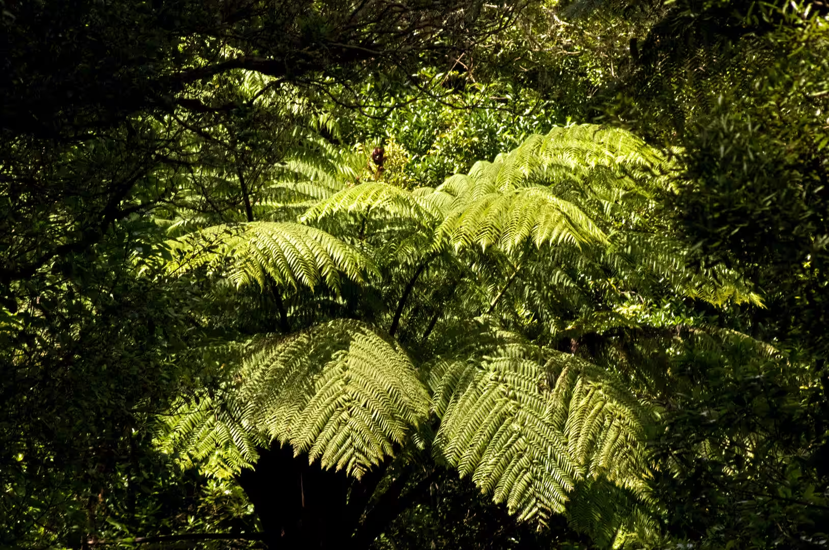
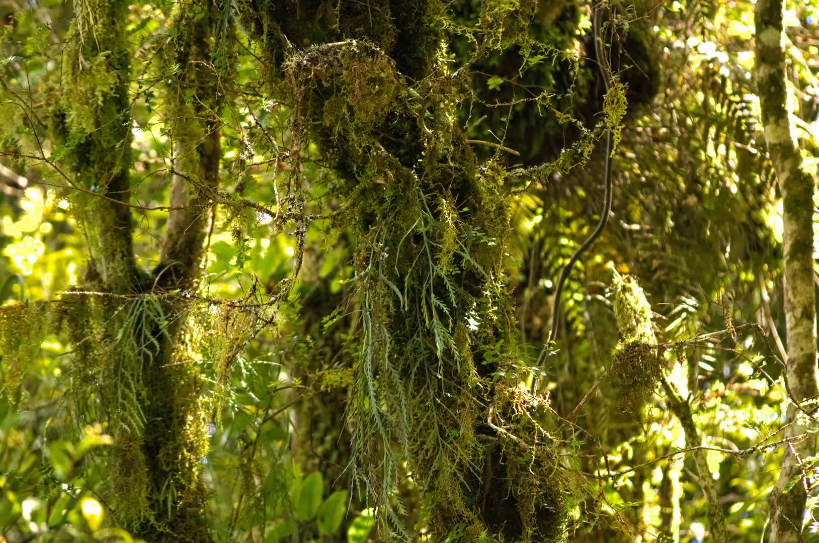
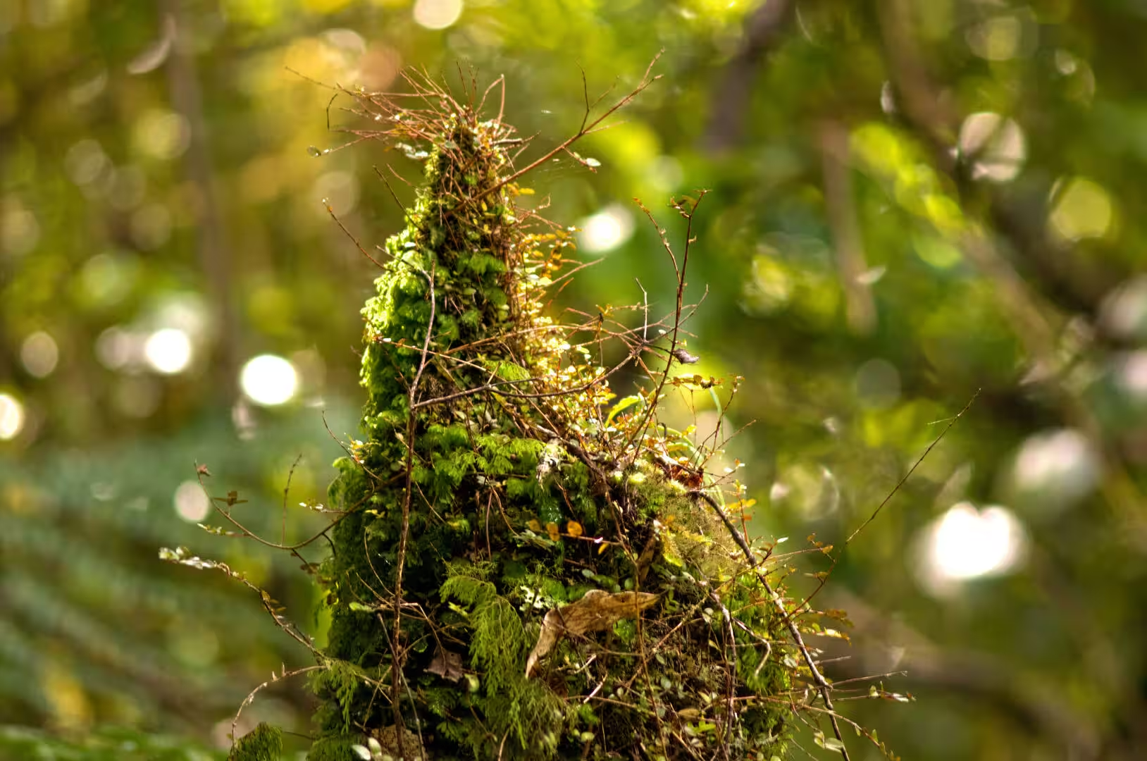
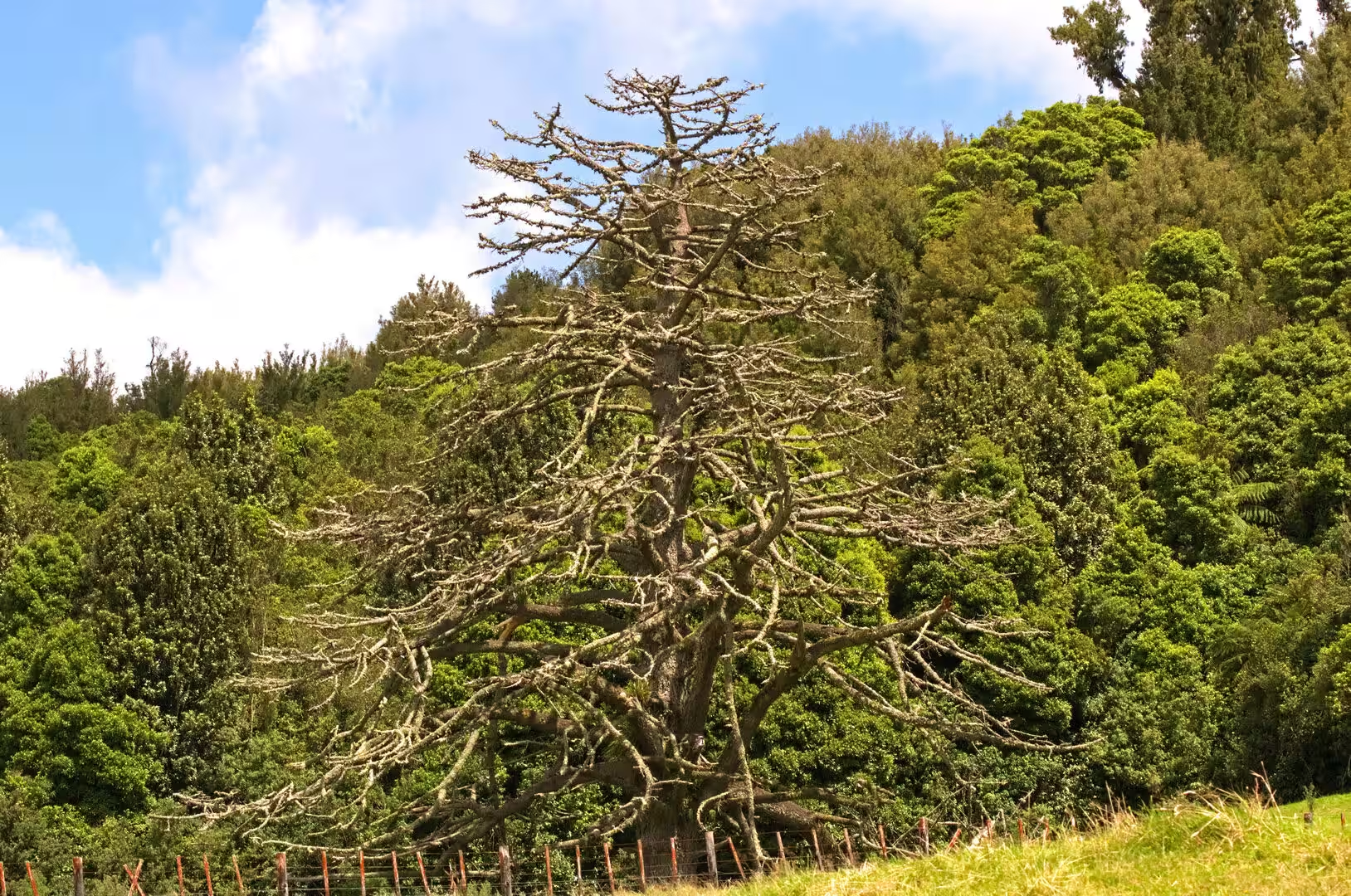
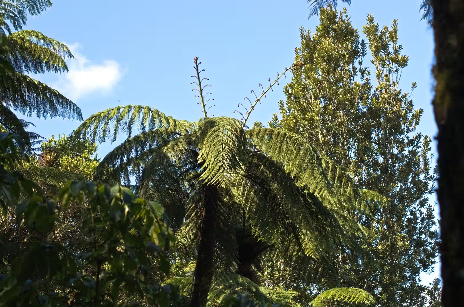
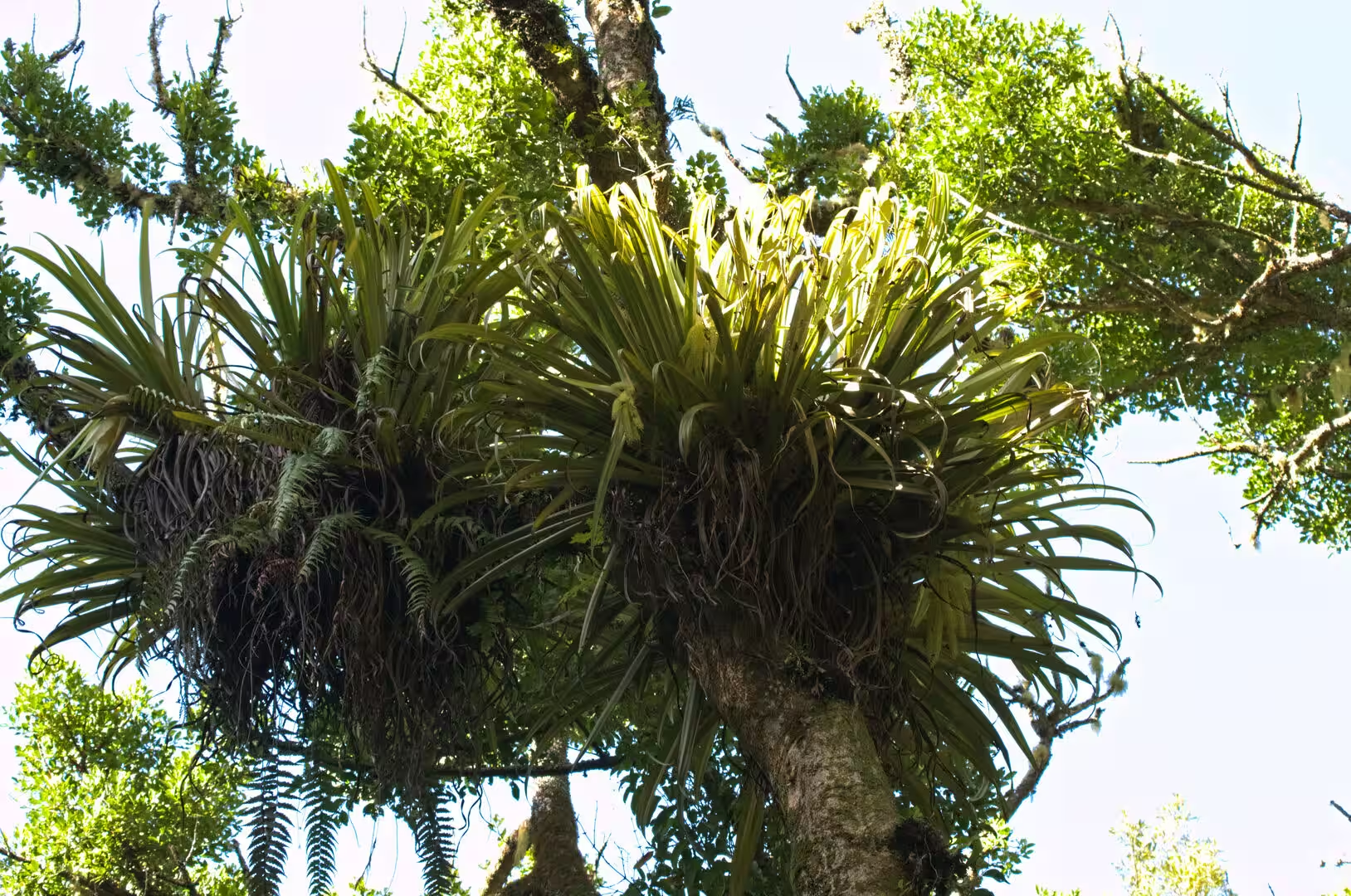
Walking tracks in the bush ring the town and the lake. On the forested hillsides that slope down to the water, tracks climb through dense native bush where tall tree ferns unfurl their fronds above mossy trunks hung with epiphytes, and filtered light falls on the floor of the rainforest. The undergrowth is rich in ferns of every size, and the quiet paths reward walkers with birdsong and, on the higher ridges, clearings that open across the lake to the distant hills. The farmland roads that wind around the basin between the forest blocks offer their own panoramas over the lake, its islands and the settled far shore.
References
- Stafford, Donald M. (1967). Te Arawa: A History of the Arawa People. Wellington: A. H. and A. W. Reed.
- Stafford, Donald M. (1986). The Founding Years in Rotorua: A History of Events to 1900. Auckland: Ray Richards Publisher.
- Graham, Ian J. (2015). A Continent on the Move: New Zealand Geoscience Revealed. Second edition. Wellington: Geoscience Society of New Zealand.
- Sulphur Bay Wildlife Refuge. www.doc.govt.nz/parks-and-recreation/places-to-go/bay-of-plenty/places/sulphur-bay-wildlife-refuge/
- New Maps Reveal Lake Rotorua’s Hidden Depths. GNS Science. www.gns.cri.nz/news/new-maps-reveal-lake-rotoruas-hidden-depths/
- Bath House Building. Rotorua Museum Te Whare Taonga o Te Arawa. rotoruamuseum.co.nz/collection/bath-house-building/
- Rotorua’s Lakeland Queen Given Six Months to Move from Dry-Dock. RNZ. www.rnz.co.nz/news/regions_local-democracy-reporting/507605/rotorua-s-lakeland-queen-given-six-months-to-move-from-dry-dock
- Book Rotorua Sightseeing Tours. Rotorua Duck Tours. rotoruaducktours.co.nz/
- Rotorua. en.wikipedia.org/wiki/Rotorua
- Lake Rotorua. en.wikipedia.org/wiki/Lake_Rotorua
- Rotorua Caldera. en.wikipedia.org/wiki/Rotorua_Caldera
- Taupō Volcanic Zone. en.wikipedia.org/wiki/Taup%C5%8D_Volcanic_Zone
- Te Arawa. en.wikipedia.org/wiki/Te_Arawa
- Mokoia Island. en.wikipedia.org/wiki/Mokoia_Island
- Whakarewarewa. en.wikipedia.org/wiki/Whakarewarewa
- Black swan. en.wikipedia.org/wiki/Black_swan