Day 5 - Along the coast to Gisborne
18 July 2023









Journal Notes
General
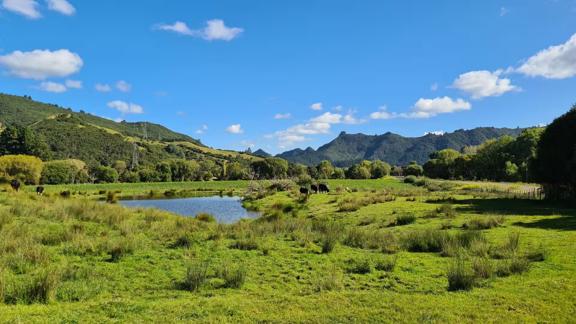
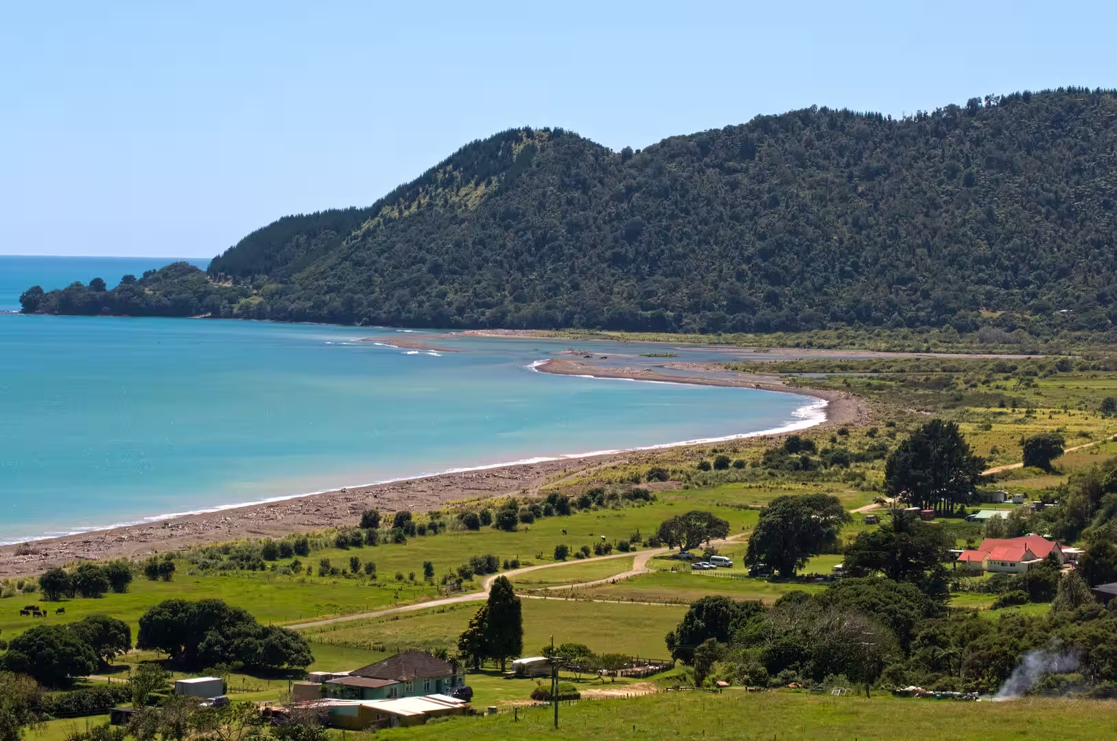
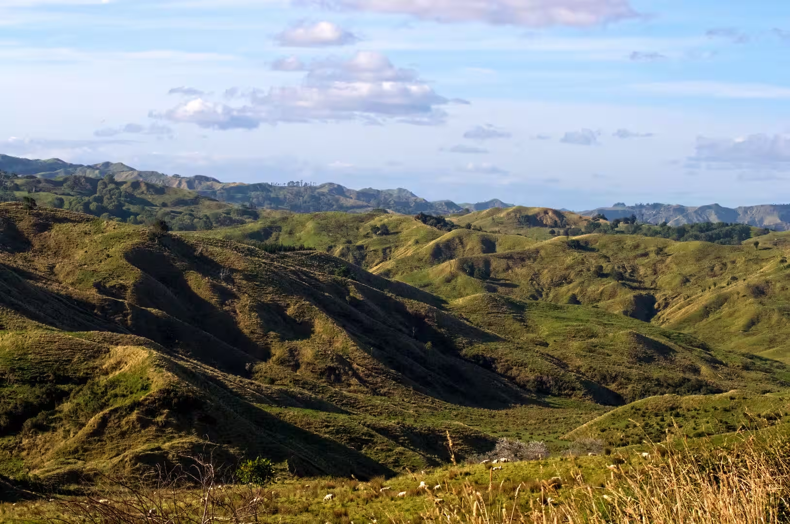
The East Coast, the north-eastern corner of the North Island of New Zealand, is one of the most isolated and least densely settled regions of the country. East Cape is the easternmost point of the two main islands, and the name is often applied to the whole stretch of the Gisborne District, or Tairāwhiti, that runs south-west from the cape towards Poverty Bay. The region is divided from the Bay of Plenty by the forested Raukūmara Range, while the narrow coastal strip between the mountains and the Pacific Ocean carries the farming settlements that line the shores: Hicks Bay and Ruatoria in the north, Tokomaru Bay further south, and Tolaga Bay, which recorded 954 residents at the 2023 census. State Highway 35, which forms the East Cape section of the Pacific Coast Highway, leaves Ōpōtiki in the eastern Bay of Plenty, follows the coast past Te Araroa and Ruatoria, passes through Tolaga Bay and ends at the Tūranganui River bridge in Gisborne.
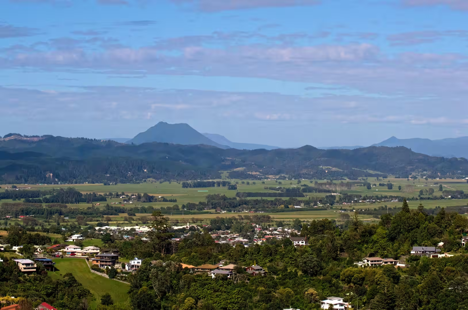
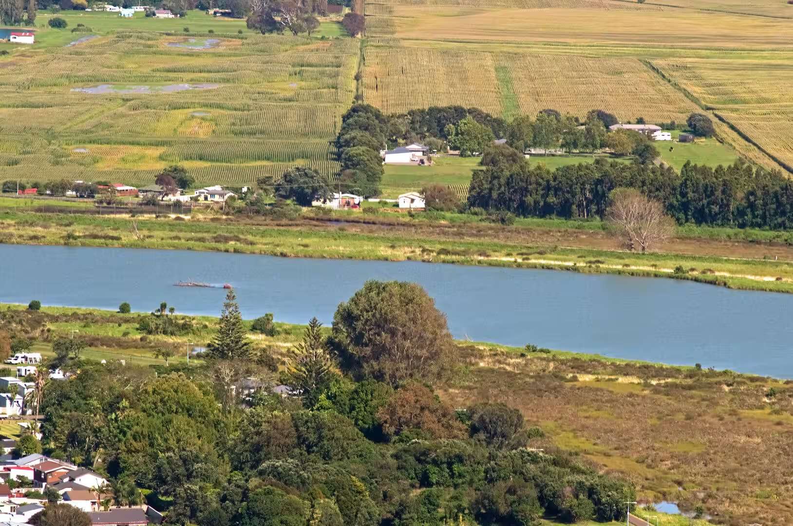
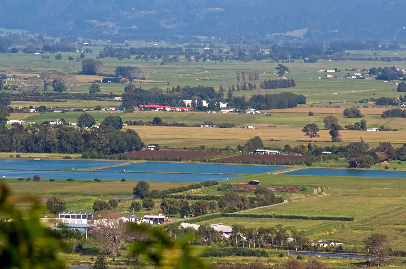
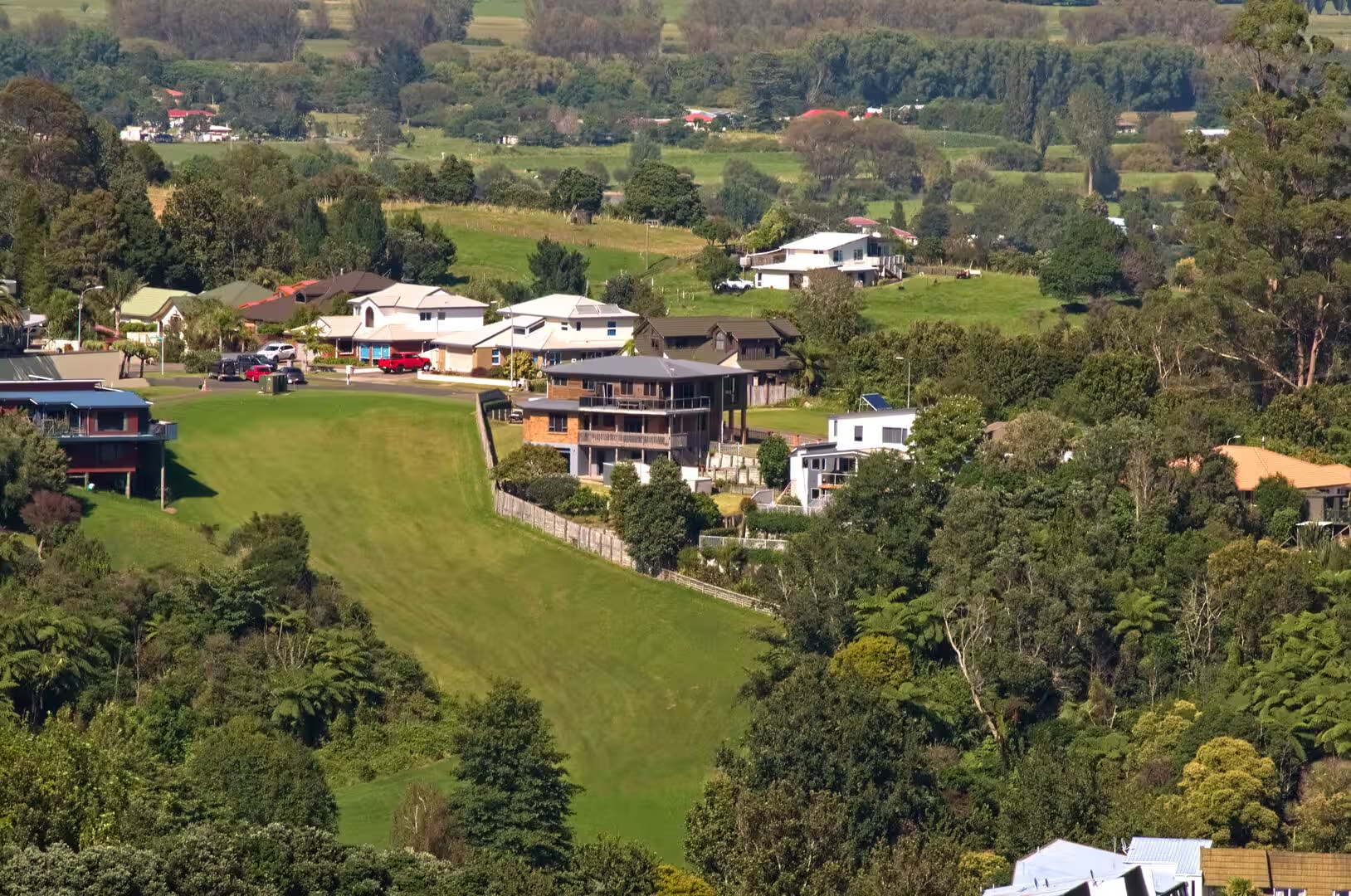
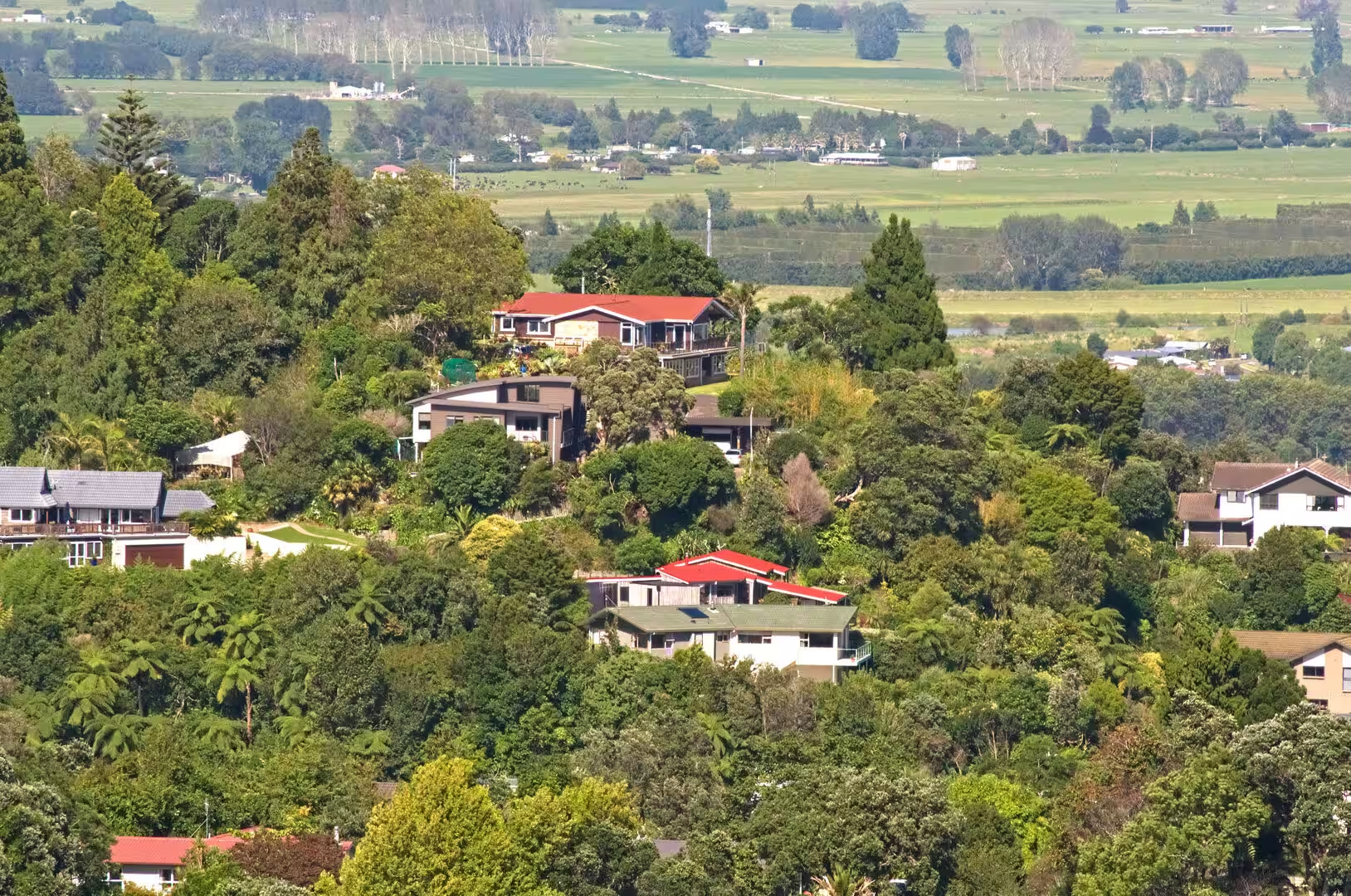
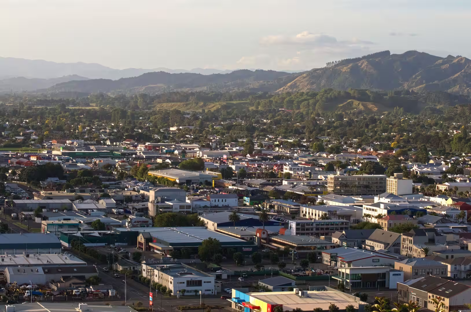
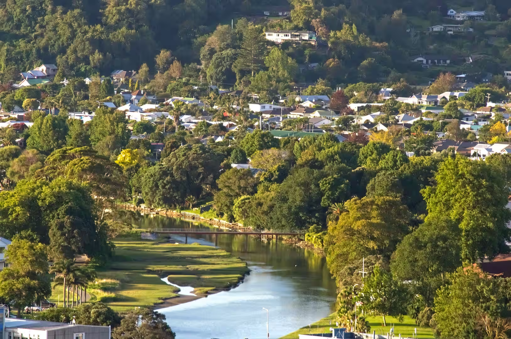
Gisborne, the largest settlement of the district and its only city, stands on the fertile flats at the head of Poverty Bay, its centre and suburbs spread out beneath the wooded Kaiti Hill. Three rivers meet the sea here: the Waimata, the Taruheru and the Tūranganui, whose short course of 1.2 kilometres makes it the shortest river in New Zealand and gives the city its nickname of the City of Rivers. Gisborne had a population of 36,912 at the 2023 census and serves as the commercial, administrative and cultural centre of the whole region, with a port that handles coastal shipping, timber and produce. The surrounding flats are among the most productive farmland in the country, given over to sheep and cattle, maize, orchards and market gardens, while vineyards on the plains and river terraces supply a wine industry famous above all for its chardonnay.
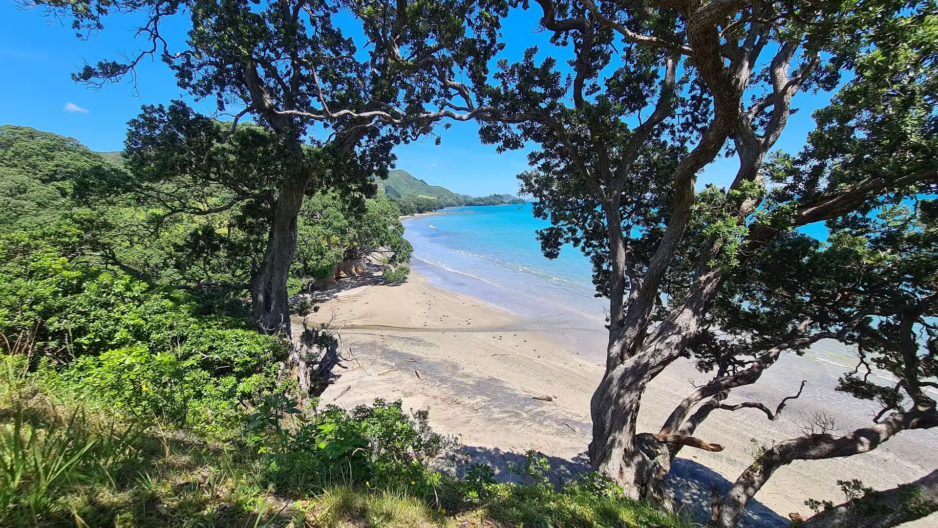
The region enjoys a sunny, temperate climate, sheltered by the high country to the west; the coast records about 2,200 hours of sunshine a year, with warm summers and mild winters. Because it lies close to the international date line, Gisborne long claimed to be the first city in the world to see the sunrise each day, a claim that, since Samoa and Tokelau moved across the date line in December 2011, now holds true only during the New Zealand summer months. The pōhutukawa, New Zealand’s coastal Christmas tree, fringes the shores throughout the region; the line from New Plymouth to Gisborne marks the southern limit of its natural range, where the tree once formed an almost continuous coastal fringe.
History
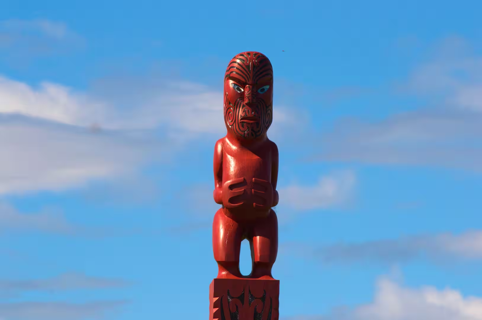
The East Coast has been settled for more than 700 years. According to tribal tradition the ancestors of its people arrived with the great migration canoes from Hawaiki around 1350: the Horouta, whose captain Pāoa gave his name to the Waipaoa River, the Tākitimu, whose navigator Kiwa is remembered in the name Tūranganui-a-Kiwa, the long waiting place of Kiwa, and the Te Ikaroa-a-Rauru. The iwi of the coast trace their descent to these voyagers and to older ancestors such as Paikea the whale rider and Māui, who according to tradition fished up the North Island from the sea. Ngāti Porou, the largest iwi of the region, descends from Porourangi and holds territory from Pōtikirua in the north to Te Toka-a-Taiau at the mouth of Gisborne harbour; its hapū include Te Aitanga-a-Hauiti, whose tribal area is the Uawa valley and Tolaga Bay, while the southern shores of Poverty Bay belong to Rongowhakaata, Te Aitanga-a-Māhaki and Ngāi Tāmanuhiri.
In October 1769 the Endeavour, under Captain James Cook on his first Pacific voyage, became the first European ship to reach New Zealand. Land was first sighted near the headland later named Young Nick’s Head, after the cabin boy Nicholas Young who spotted it on 6 October, and Cook anchored in Poverty Bay, where a landing party came ashore on the eastern bank of the Tūranganui River at Kaiti Beach. The encounter was clouded by misunderstanding: a local man, Te Maro, was killed in a skirmish on the day of the landing, and nine Māori died or were wounded in the days that followed. Cook named the bay Poverty Bay because it afforded the ship, in his words, nothing it wanted, and he soon sailed on to Anaura and Tolaga bays, where dealings with the people were far more cordial. At Tolaga Bay the Tahitian priest Tupaia conversed with the tohunga of Te Rawheoro, a celebrated school of learning in tribal lore and carving. The name Tolaga is thought to be an English corruption of a Māori word, possibly one for the local south-westerly wind; the bay’s Māori name is Uawa.
European whaling ships worked Poverty Bay in the early nineteenth century, and the region suffered heavily in the Musket Wars, when Ngāpuhi war parties from the north raided as far as Te Araroa and besieged the pā of Te Whetumatarau in 1820, killing many Ngāti Porou. Permanent European settlement began in the 1830s, when traders such as John Harris and George Read opened stations on the Tūranganui River; the missionary and linguist William Williams established a mission at Tūranga in 1840, the year in which 24 chiefs of the district signed the Treaty of Waitangi. In the 1860s the Pai Mārire, or Hauhau, movement split Ngāti Porou into factions, and Ngāti Porou fighting beside government forces under leaders such as Rāpata Wahawaha drove the Hauhau from their pā between Waiapu and Tolaga Bay. The government had exiled the prophet Te Kooti and other prisoners to the Chatham Islands in 1866; he escaped in 1868, landed near Whareongaonga Bay in Poverty Bay, and on 10 November 1868 attacked the township of Matawhero, where about 54 people were killed before he was pursued into the Urewera and defeated in 1870.
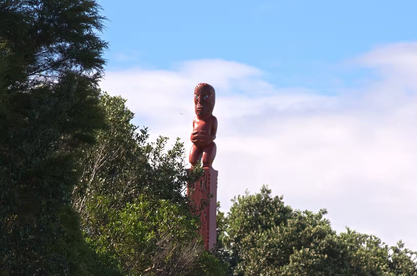
The town of Gisborne grew from land bought by the government in 1868. The settlement was laid out in 1870 and renamed for William Gisborne, the colonial secretary, a town council was formed in 1877, and the river harbour developed as the outlet of the pastoral districts, with a meat works beside it. Gisborne was proclaimed a city in 1955, when it had about 20,000 people, a port, rail link, airport and food-processing industry. From the 1890s the Ngāti Porou leader Āpirana Ngata championed Māori land development and cultural revival on the East Coast, and the opening of the carved meeting house at Te Poho-o-Rāwiri marae in Gisborne in 1930 was a landmark of that revival. Tolaga Bay, cut off by poor roads from the port of Gisborne, built its own harbour in the 1920s, when the Tolaga Bay Harbour Board, formed in 1920, ran a long wharf out into the shallow bay; coastal shipping served it until the late 1960s.
Geology
The East Coast owes its shape to the meeting of two tectonic plates. Offshore, the Pacific Plate, carrying the thick Hikurangi Plateau, dives beneath the continental crust of the Australian Plate along the Hikurangi margin, a subduction zone active for roughly 25 million years, and the deep Hikurangi Trough marks the line of descent. The margin is among the most seismically active parts of New Zealand: on 20 December 2007 an earthquake of magnitude 6.8, centred in the trough about 50 kilometres south-east of Gisborne, shook the city and caused significant damage in its centre. Slow uplift of the coast is the visible counterpart of the earthquakes, raising old sea floors and river terraces step by step towards the present shoreline.
The mountain backbone of the region is the Raukūmara Range, which runs north-east from the Huiarau Range to Hicks Bay and separates the East Coast from the Bay of Plenty. The range is built of Cretaceous greywacke, argillite, siltstone and sandstone, deformed sedimentary rocks of an ancient accretionary wedge, and they are so characteristic of the region that the Raukumara Epoch, a division of the New Zealand geological time scale between about 95 and 86 million years ago, is named after the range. The range contains Mount Hikurangi, which at 1,752 metres is the highest non-volcanic peak in the North Island. For Ngāti Porou the mountain is tapu: it was the first point of land to rise when Māui drew the North Island up from the sea, and his canoe Nukutaimemeha is said to lie turned to stone on its summit.
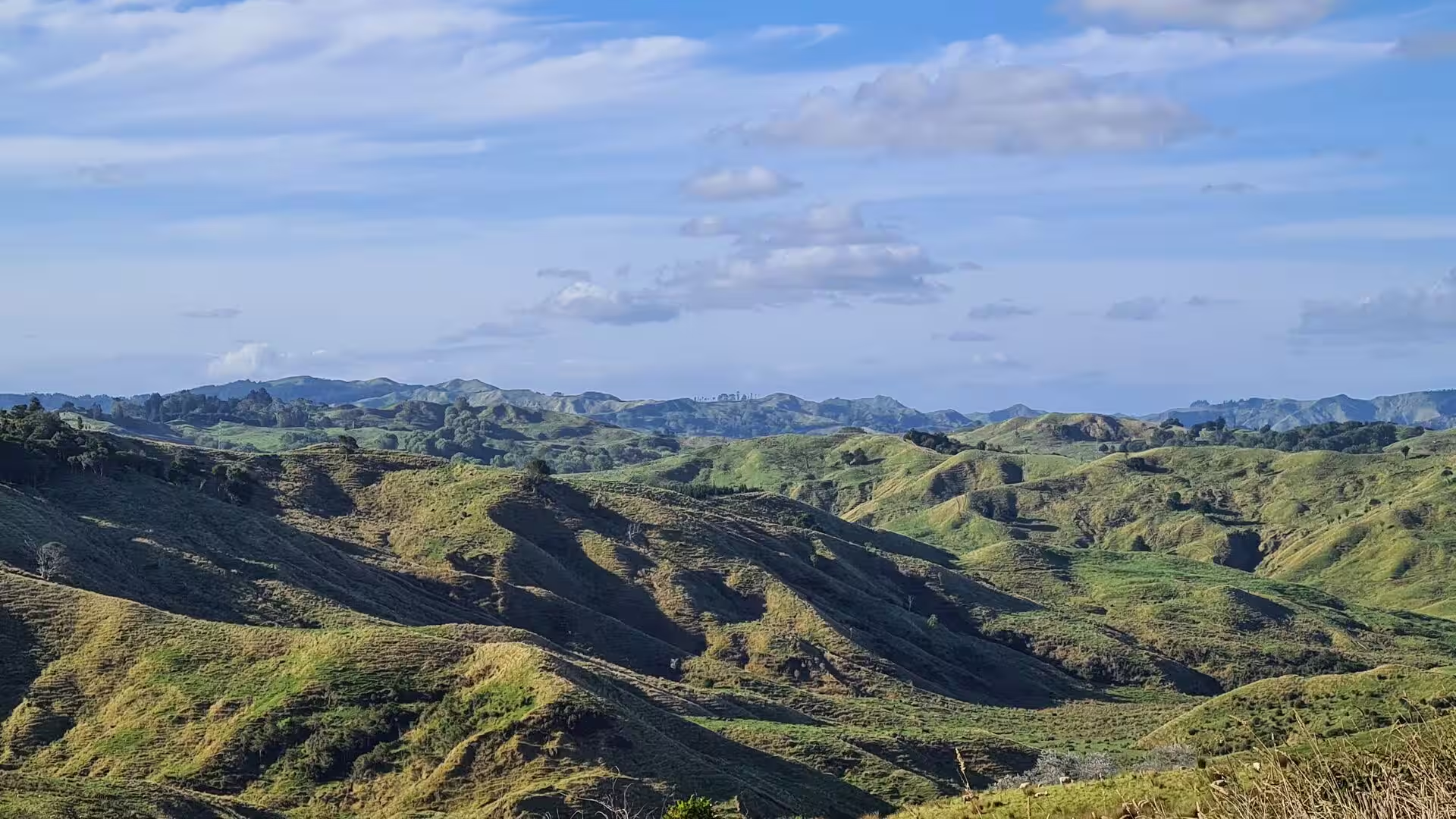
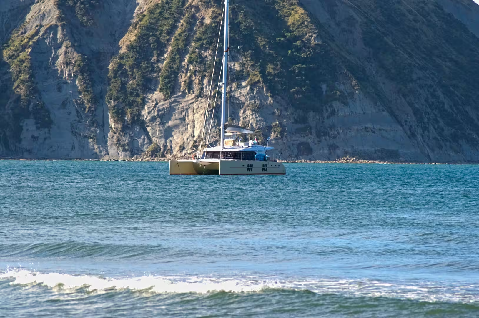
Seaward of the hard basement rocks lies a broad belt of much younger marine mudstone and sandstone, known locally as papa. These soft sediments form the steep rounded hills of the coast and the pale cliffs behind the beaches, such as the papa cliffs at Tolaga Bay, and they erode quickly: heavy rain turns whole hillsides to mud, and the rivers carry the soil to the sea in great volume. The Waipaoa River, draining the eastern slopes of the Raukūmara Range into Poverty Bay, moves about 15 million tonnes of sediment a year, two to three times the natural rate, because clearing of the original forest for farmland released the soil; the river bed has built up so far that the stopbanks protecting the flats are to be raised by 2031. Extreme storms show the same forces at work, from Cyclone Bola in March 1988, which flooded the district for three days, to the 2018 rainstorm that swept forestry slash down the Uawa River, choked the estuary at Tolaga Bay and buried the beach in logs.
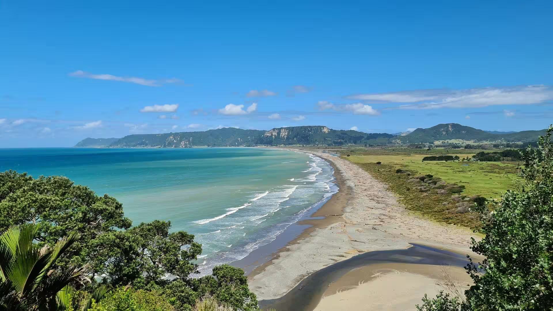
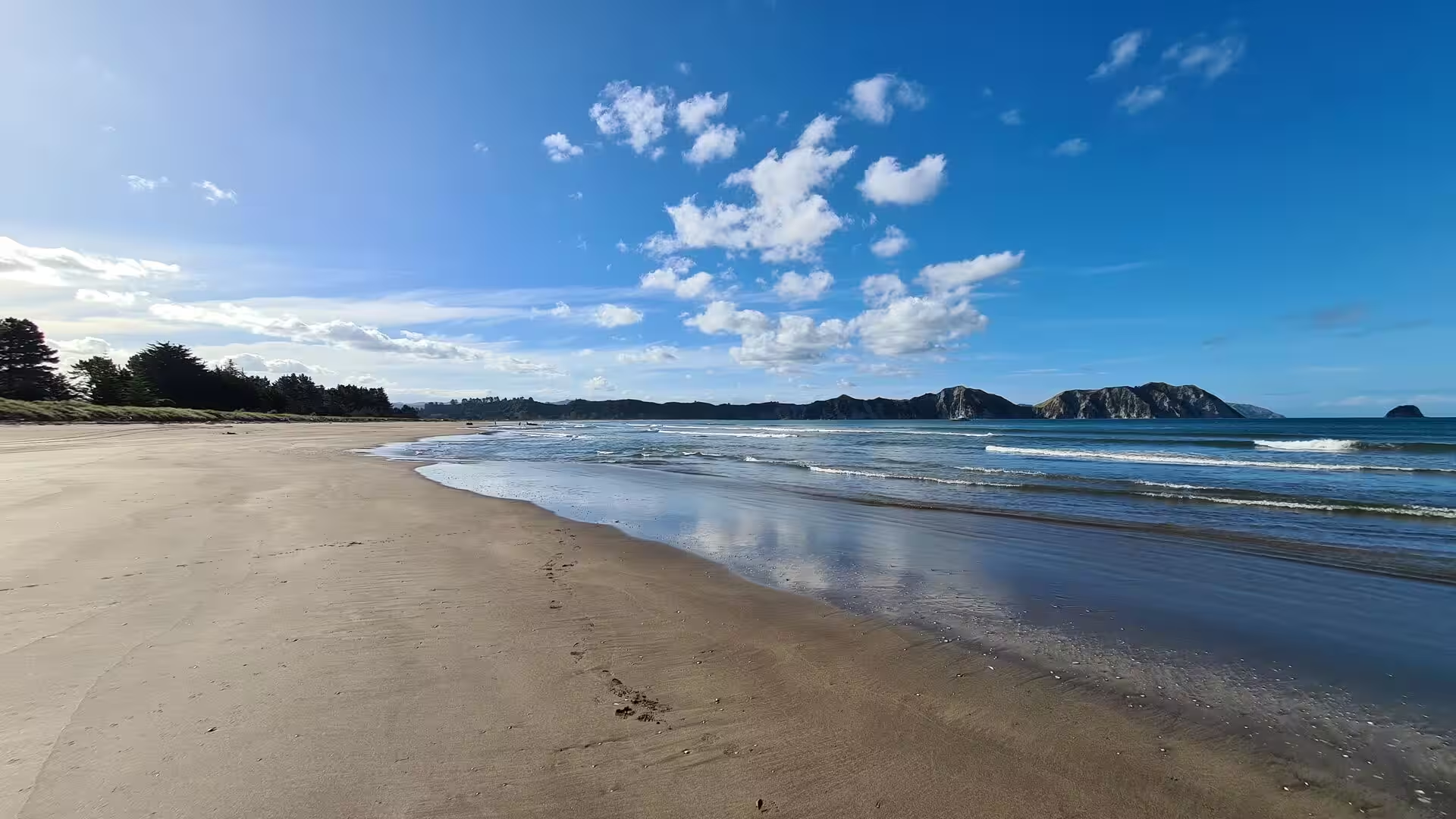
The coast itself is young and still changing. Where the rivers reach the sea they have built broad flats of alluvial soil, above all the Poverty Bay flats beneath Gisborne, while between the river mouths long sandy beaches curve between rocky headlands and eroding cliffs. Submarine ridges, anticlines of the subduction zone, trap about 95 per cent of the Waipaoa’s sediment on the seaward edge of the bay, where the muds preserve an archive of the last 4,000 years: the onset of the El Niño pattern, the forest clearance that followed Polynesian settlement, the eruption of Taupō and later European deforestation can all be read in the layers. River mouths along the coast, such as the Uawa at Tolaga Bay, are crossed by shifting sandbars, and the tectonic forces that raised the ranges continue to reshape the shoreline.
Things to See
Gisborne is a compact, relaxed city built around its river port at the head of Poverty Bay. The harbour, where the Tūranganui River enters the sea, still handles coastal shipping, and the foreshore gives onto the city beaches of Waikanae, Midway and Kaiti, while further round the bay lie the surfing beaches of Wainui and Makorori beneath the hills. From Kaiti Hill the whole sweep of the bay is visible, with the city and the farmland of the flats behind it and the open Pacific beyond. The flats and river terraces around the city are planted in vineyards and orchards, and the local wine industry, famous above all for its chardonnay, has its cellar doors scattered through the countryside south of the city.
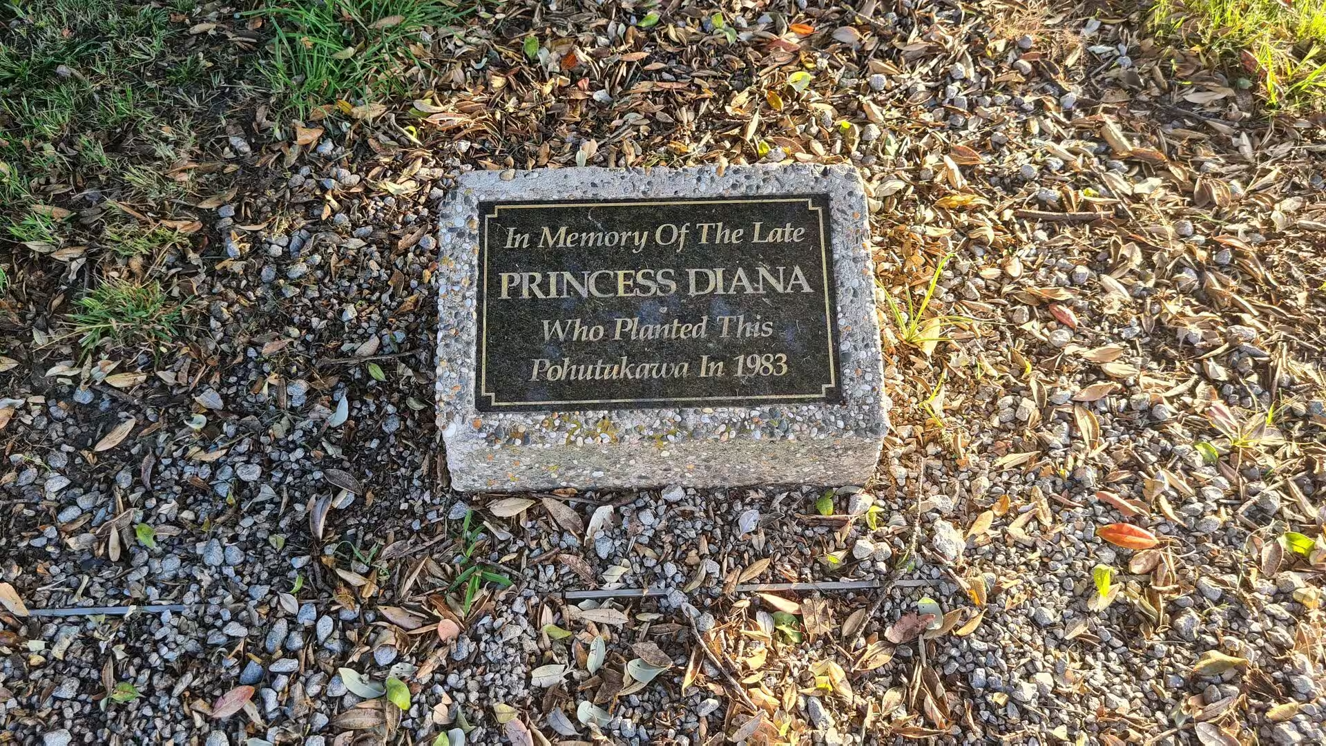
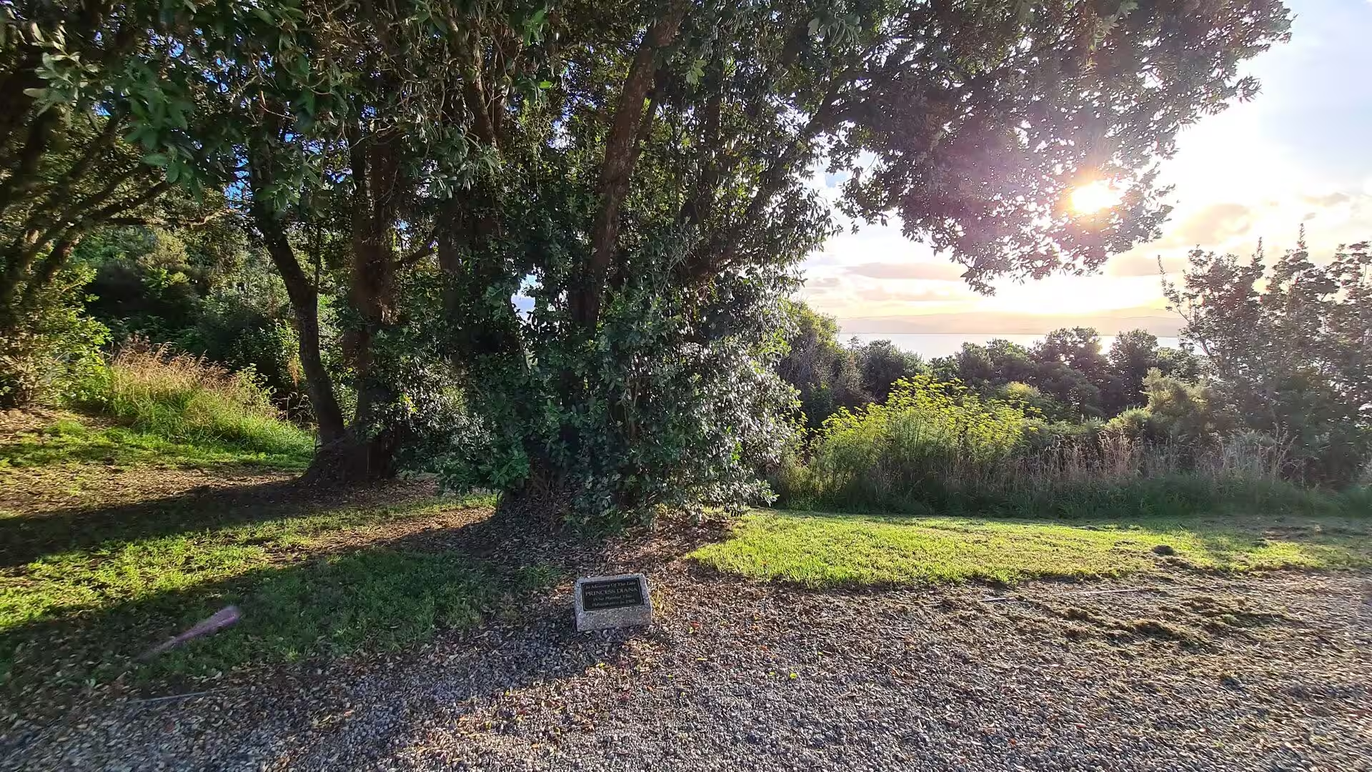
Kaiti Hill (Titirangi) rises directly above the point where Cook’s party came ashore in 1769, and its slopes and summit carry a long sequence of Māori occupation, from terraces, burial grounds and middens to the site of Titirangi Pā. At the foot of the hill, on Kaiti Beach, a monument erected in 1906 marks the landing site, and the surrounding land, given national historic reserve status in 1990, is protected as the Cook Landing Site National Historic Reserve. On the reserve above, near Cook’s Plaza, stands a pōhutukawa planted in April 1983 by Diana, Princess of Wales during the royal tour of New Zealand; it was set among a group of four trees, and a plaque set in the gravel marks the one she planted. The tree, listed in the New Zealand Tree Register as one of international interest, has grown into a spreading specimen with a fine view of the bay behind it.
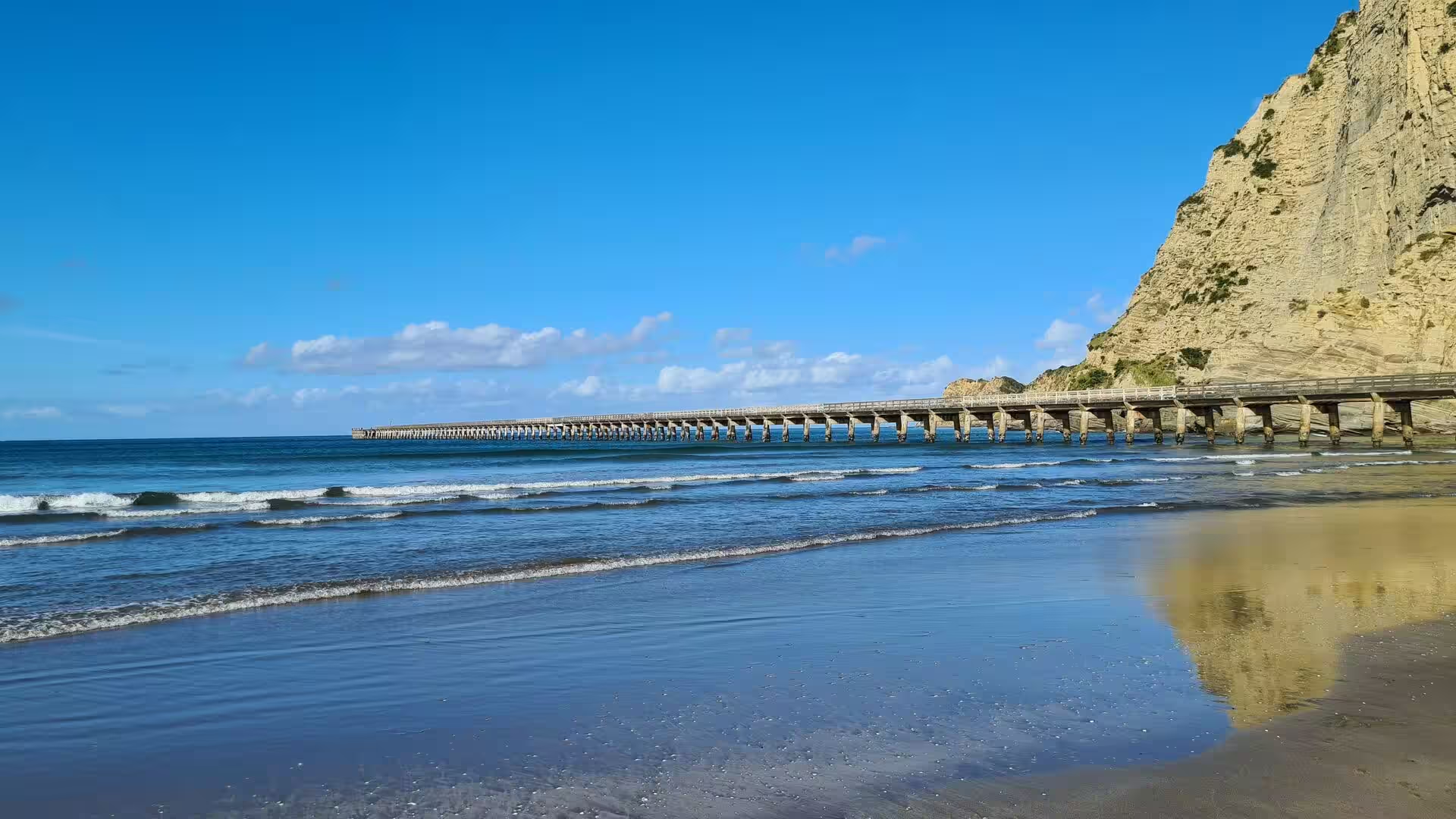
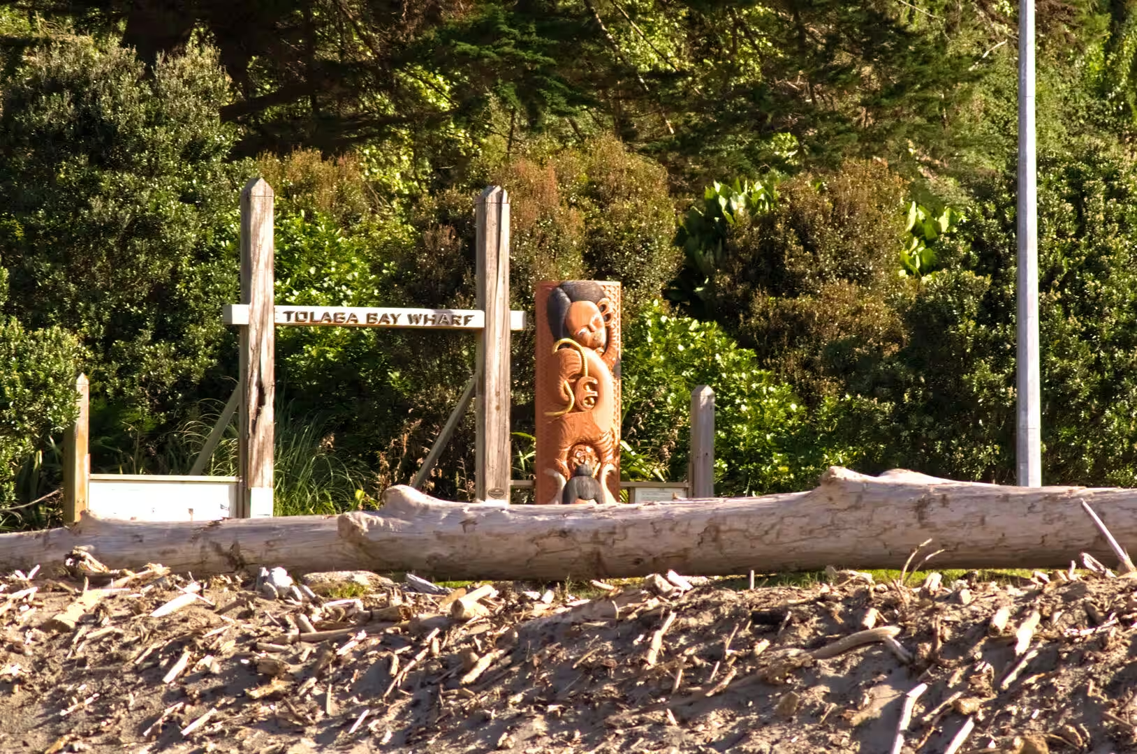
Tolaga Bay is a small settlement and farming centre where the Uawa River meets the sea at the head of a wide bay; the river mouth is crossed by a sandbar, and a long beach of pale sand runs north towards the wooded headland. The town’s great landmark is the Tolaga Bay Wharf, which strides out across the shallow water on ranks of raking concrete piles, the structure visible to its feet at low tide. More than 600 metres long, with a narrow parapeted approach that widens at its sea end into a wharf head with rails set into the deck for trucks that carried livestock and produce out to the coastal steamers, it was built between 1926 and 1929 to designs by the marine engineer Cyrus J. R. Williams. Heritage New Zealand, which lists the wharf as a historic place, records it as believed to be the longest reinforced concrete wharf and jetty in an open roadstead in the southern hemisphere. The last cargo ship called in 1967, and after years of decay the Save the Wharf Trust restored the structure from the late 1990s; it is open again for walking and fishing, with the pale papa cliffs of the bay behind it. Just south of the bay lies Cook’s Cove, the Opoutama of Māori tradition, where the Endeavour watered in 1769 and where an arched rock in the cliff was sketched by the expedition’s assistant naturalist Hermann Spöring, while Pourewa, the island that Cook named Spöring Island, stands at the entrance of the bay.
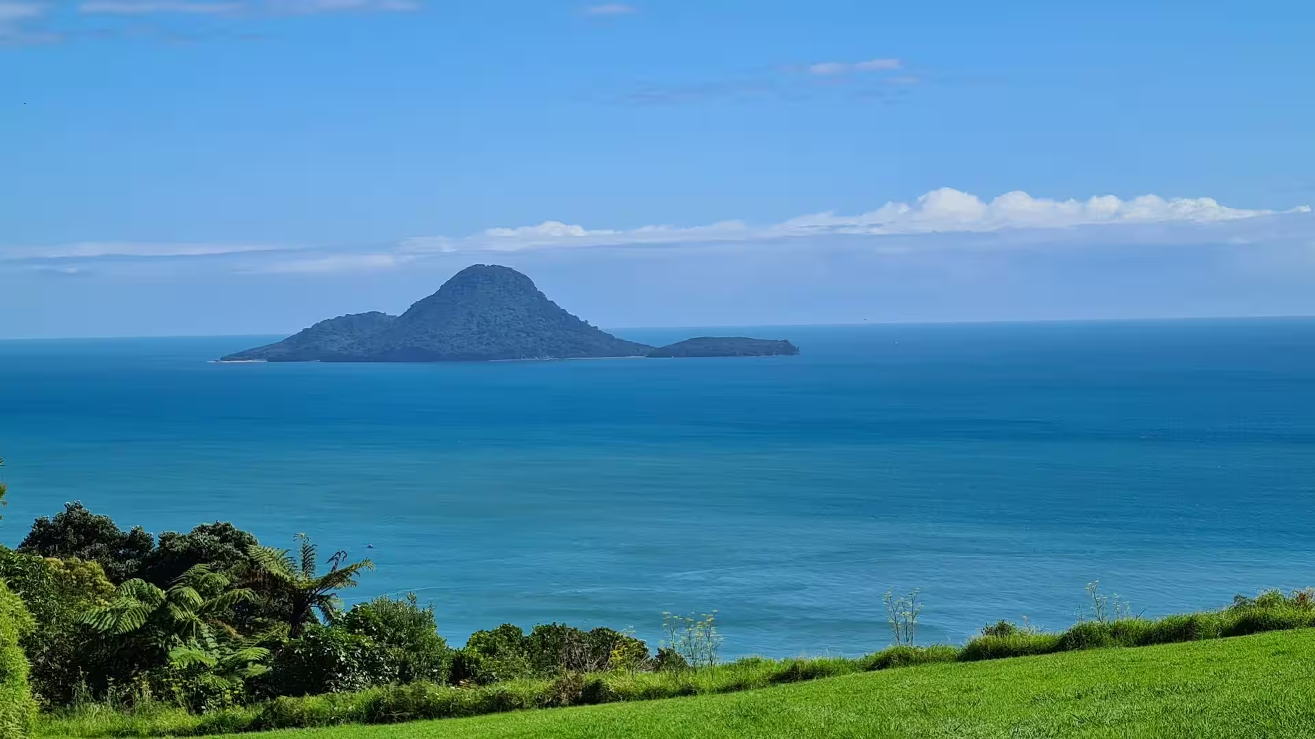
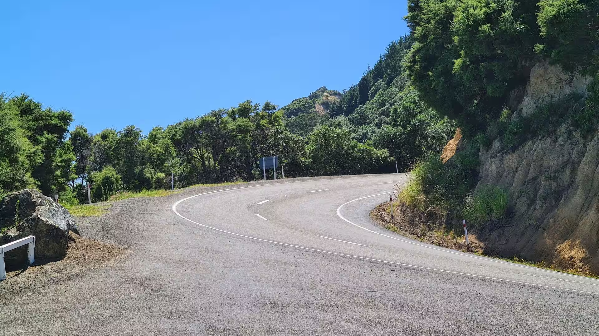
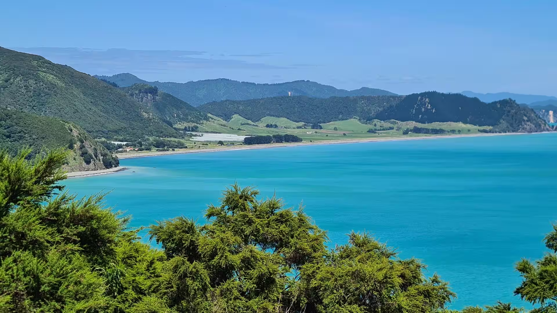
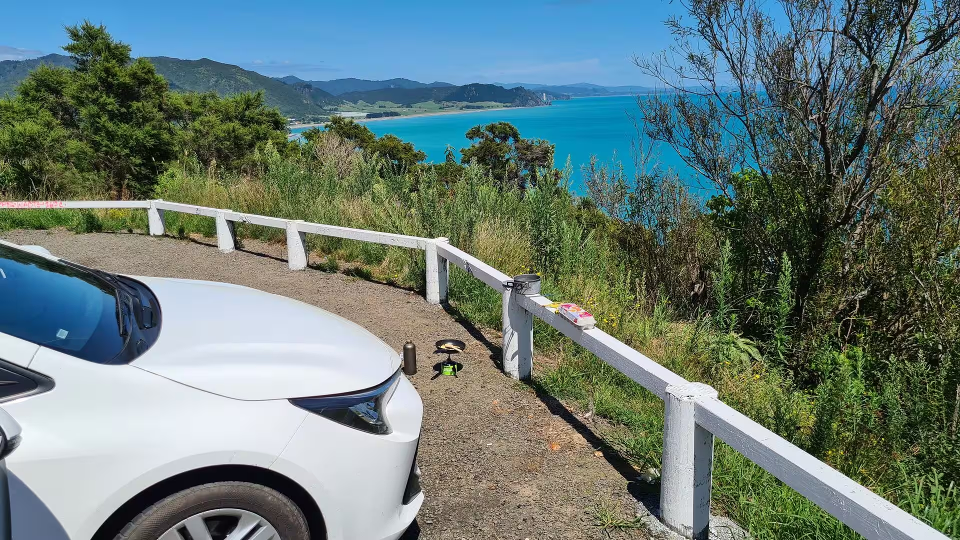
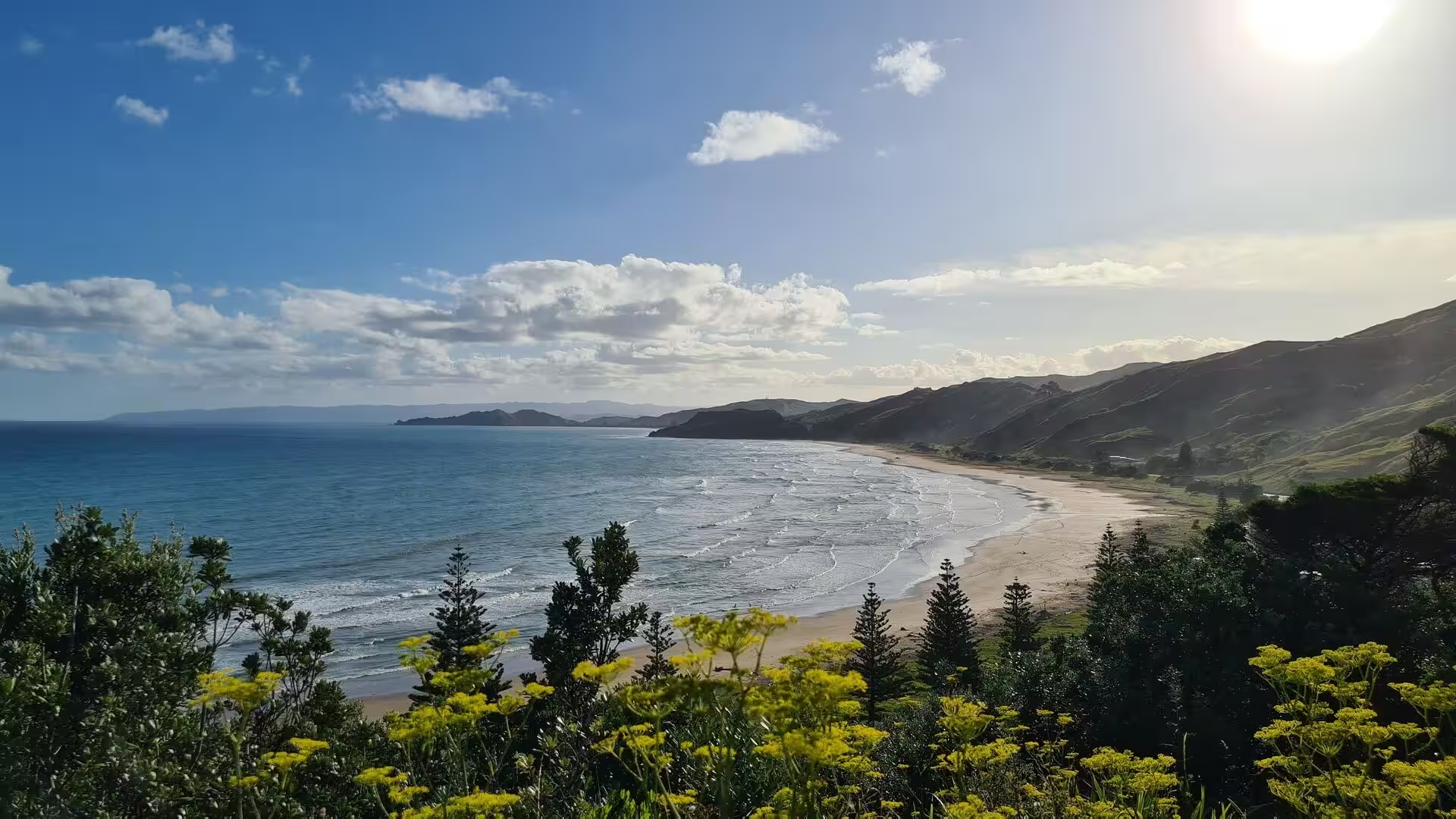
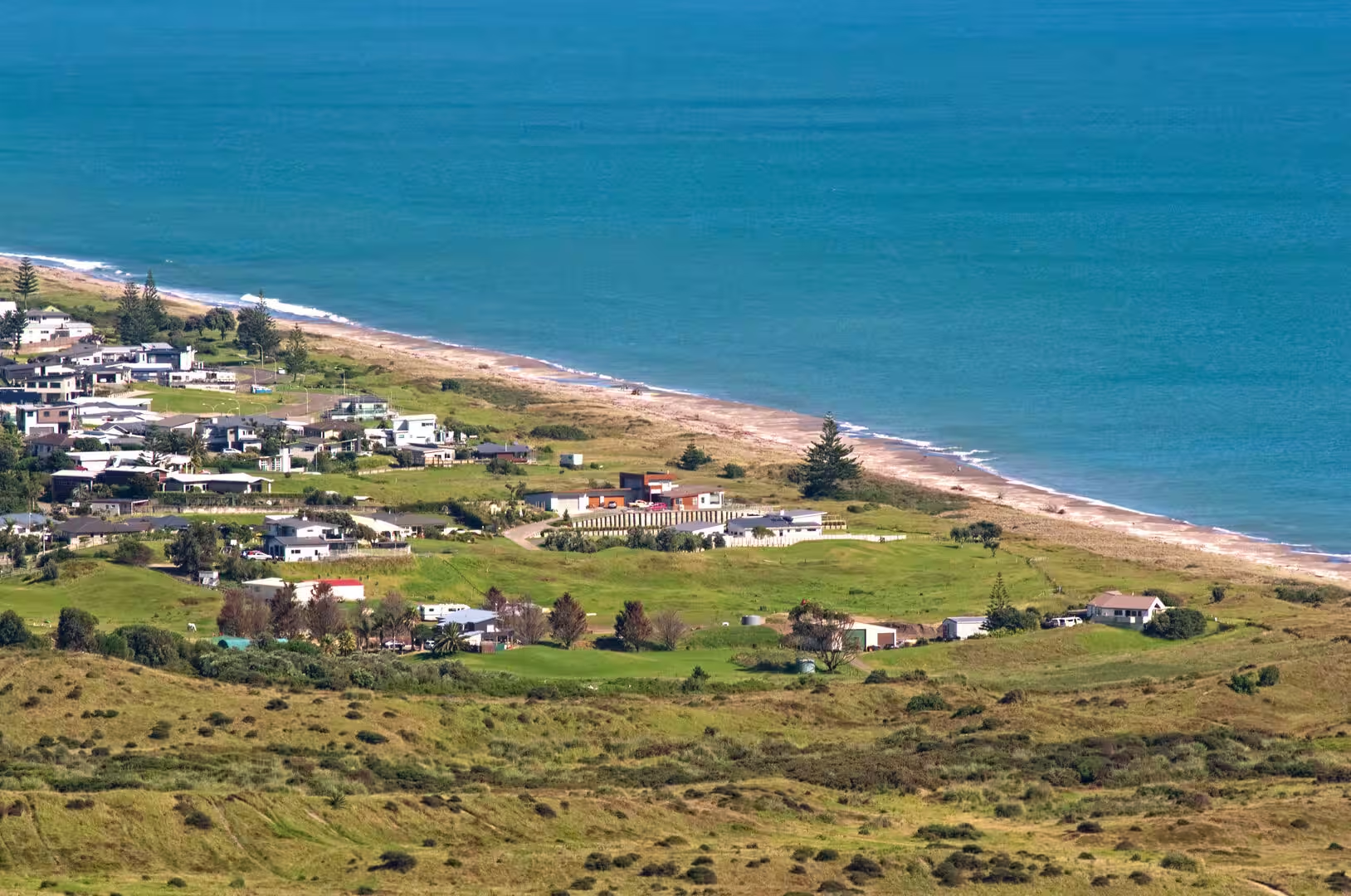
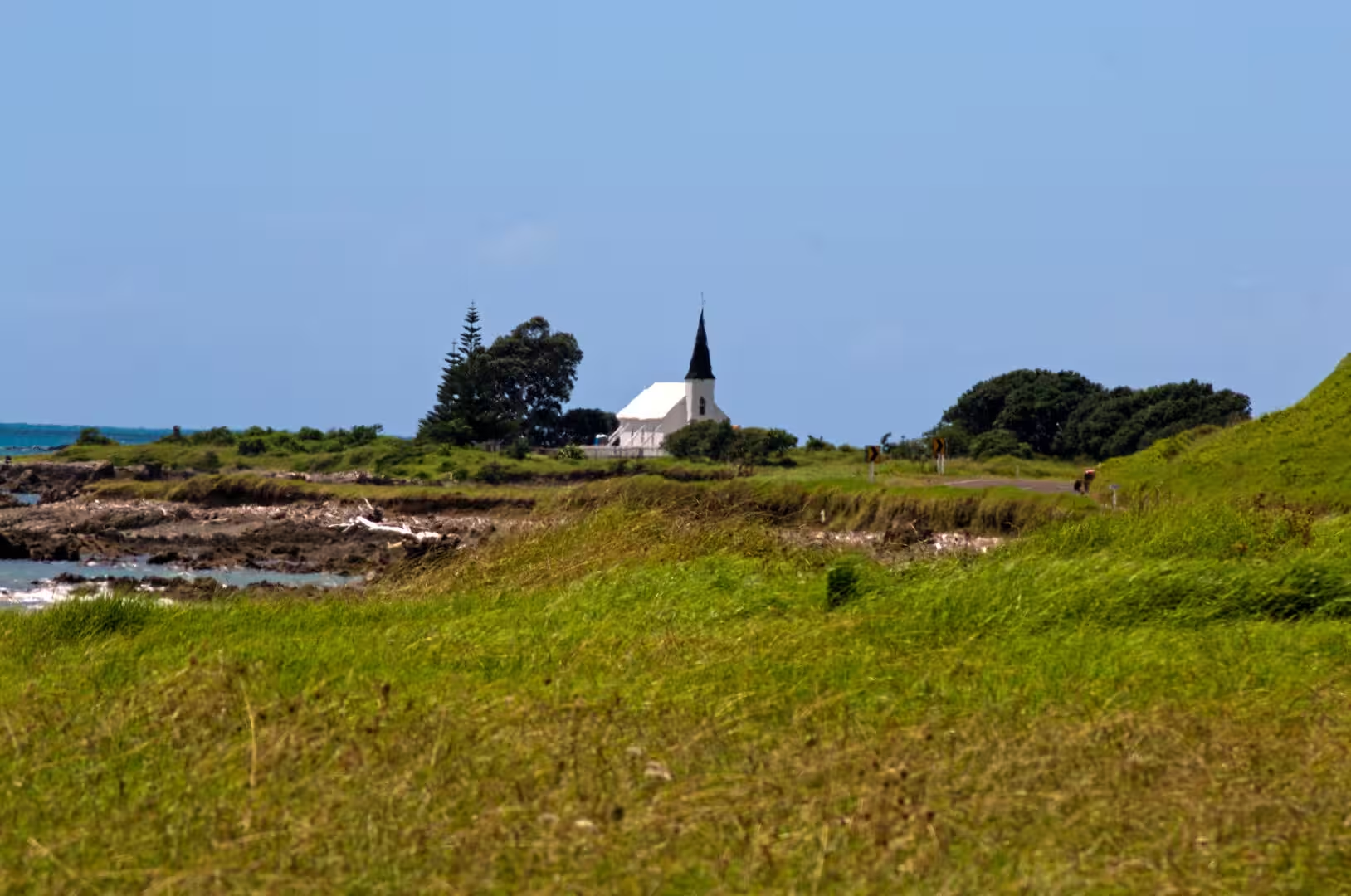
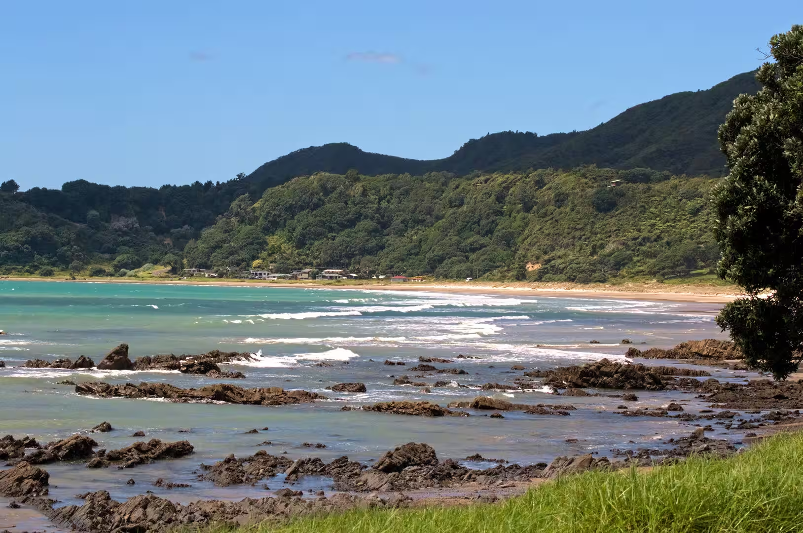
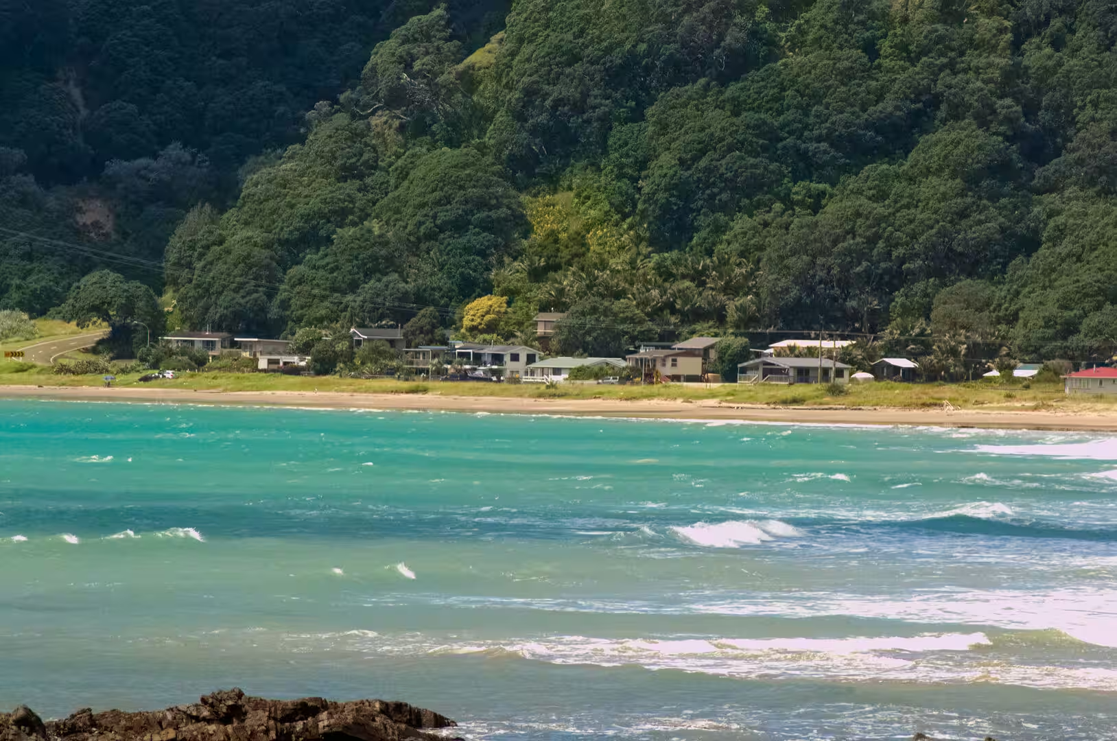
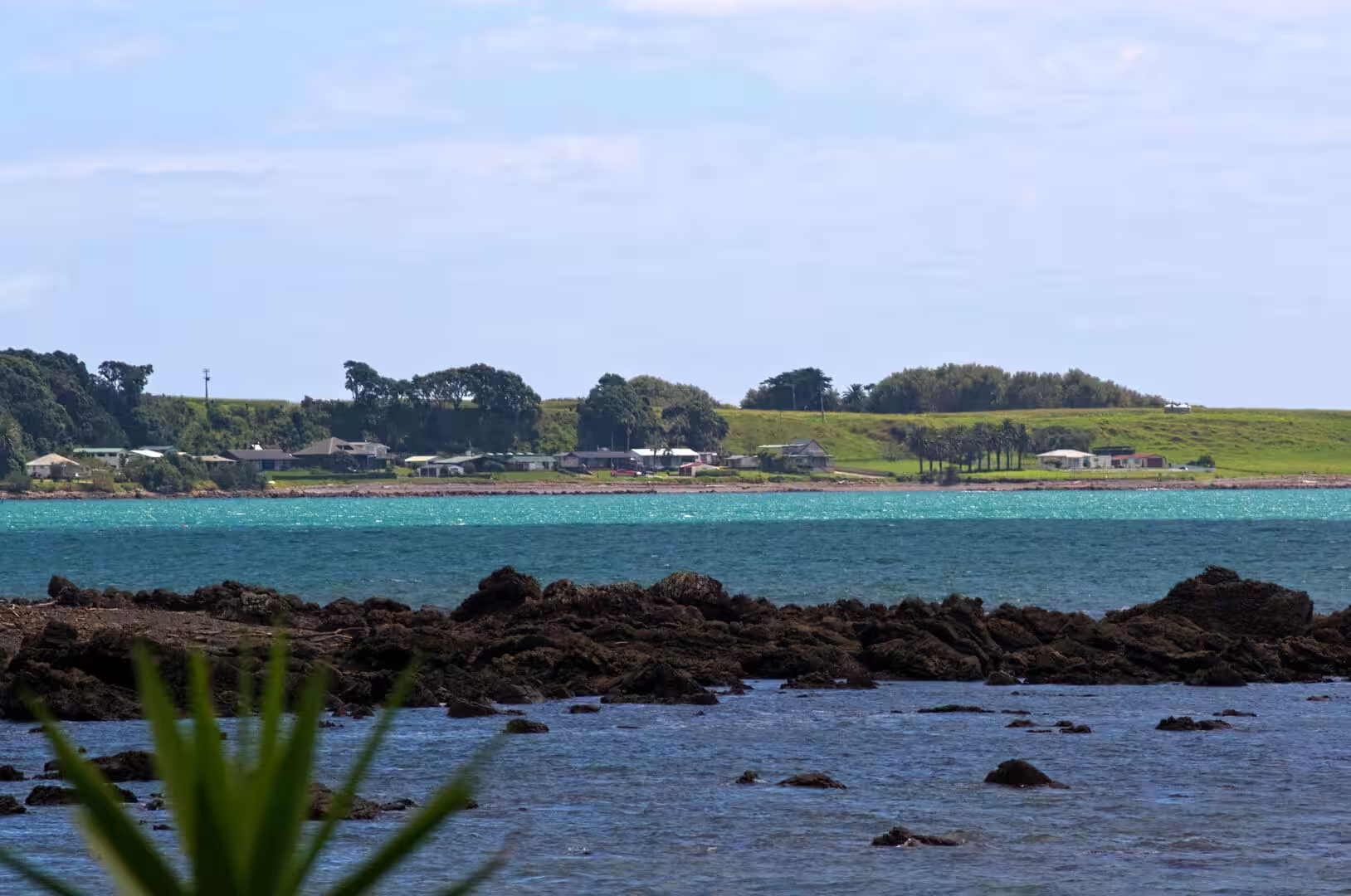
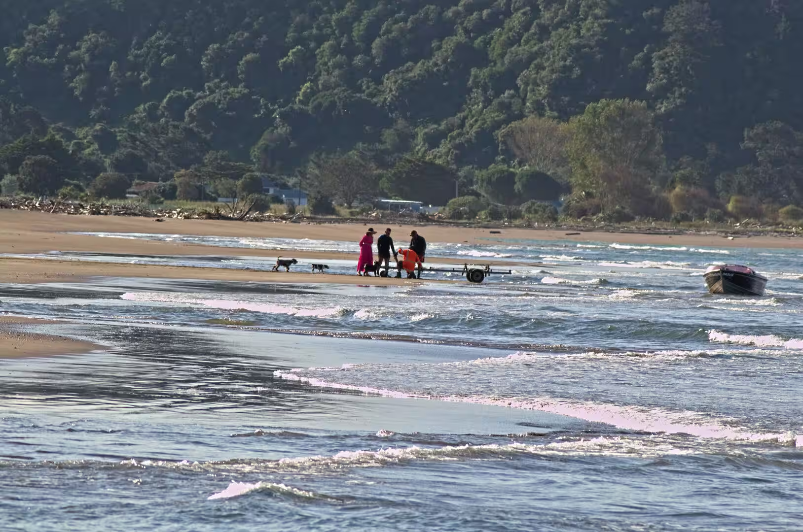
The coast road between Ōpōtiki and Gisborne is itself the region’s chief sight, a winding highway that climbs over headlands and drops into one small bay after another. The viewpoints above the bays look out over water of a striking turquoise clarity, over reefs where the surf breaks, and along beaches often empty but for a few houses at the valley mouths. Pōhutukawa lean over the shore with gnarled, wind-shorn branches, framing the sand in red blossom from December onwards, and the dense coastal bush is rich in tree ferns. The beaches, sheltered or surf-exposed by turns, serve for swimming, surfing and for launching the small fishing boats that work the inshore waters, and the roadside settlements, of which Tolaga Bay is the largest, serve the farming country that climbs the hills behind the coast.
References
- Mackay, Joseph Angus (1949). Historic Poverty Bay and the East Coast, N.I., N.Z. Gisborne: J. A. Mackay.
- Salmond, Anne (1991). Two Worlds: First Meetings between Maori and Europeans, 1642-1772. Auckland: Viking.
- King, Michael (2003). The Penguin History of New Zealand. Auckland: Penguin Books.
- Graham, Ian J. (2008). A Continent on the Move: New Zealand Geoscience into the 21st Century. Wellington: Geological Society of New Zealand.
- Tolaga Bay Wharf. www.heritage.org.nz/list-details/3516/Tolaga%20Bay%20Wharf
- Pōhutukawa, Gisborne (GR/1886), New Zealand Tree Register. www.treeregister.nz/tree/view/1886
- Gisborne, New Zealand. en.wikipedia.org/wiki/Gisborne,_New_Zealand
- History of the Gisborne District. en.wikipedia.org/wiki/History_of_the_Gisborne_District
- Poverty Bay. en.wikipedia.org/wiki/Poverty_Bay
- Tolaga Bay. en.wikipedia.org/wiki/Tolaga_Bay
- Ngāti Porou. en.wikipedia.org/wiki/Ngāti_Porou
- East Cape. en.wikipedia.org/wiki/East_Cape
- Raukūmara Range. en.wikipedia.org/wiki/Raukūmara_Range
- Waipaoa River. en.wikipedia.org/wiki/Waipaoa_River
- Hikurangi Trough. en.wikipedia.org/wiki/Hikurangi_Trough
- Pōhutukawa. en.wikipedia.org/wiki/Pōhutukawa