Day 10 - Demre to Dalyan
22 July 2023

Journal Notes
General
Dalyan is a riverside town on the south-west coast of Turkey, a neighbourhood of the district of Ortaca in Muğla Province, lying between the better-known resorts of Marmaris and Fethiye. The 2022 census counted 5,829 inhabitants. The settlement stands where the Dalyan Çayı, the natural outlet of Lake Köyceğiz, begins its slow course through the reeds of the delta; the same river continues past the ruins of the ancient city of Kaunos and reaches the Mediterranean at İztuzu Beach, several kilometres to the south.
The Turkish name dalyan means “fishing weir”, and the waterway has long been managed for the bass, mullet and sea bream that swim up from the sea to spawn in the lake before returning to the coast. Life in the town still centres on the river: low houses and small hotels line the quays, and the boats that ply the channels are the usual way of reaching the beaches and the archaeological sites of the delta. Around the settlement the alluvial plain carries citrus groves, pomegranate orchards and vegetable fields, the crops that replaced the cotton of earlier decades.
Dalyan has stayed a small, low-rise place by design. In 1987 a plan to build a large hotel complex on İztuzu Beach provoked an international protest, and in 1988 the beach, the delta and the lake were declared Turkey’s first special environmental protection area. The Köyceğiz-Dalyan Special Environmental Protection Area now covers about 461 square kilometres, and its building rules have kept large resort construction out of the town. Dalyan therefore works as a quiet base for nature tourism, river trips and archaeology rather than as a conventional seaside resort.
The climate is Mediterranean, with hot, dry summers and mild, rainy winters. The protected wetlands are rich in wildlife: the brackish delta is a refuge for loggerhead turtles and blue crabs, the reed beds hold herons and other water birds, and otters live along the streams that feed the lake. Muğla Province, in which Dalyan lies, has the longest coastline of any Turkish province, about 1,100 kilometres. Across the river from the town rises the site of Kaunos, whose ruins and rock tombs give the Dalyan delta its archaeological fame.
History
Greek tradition traced the foundation of Kaunos to a legendary prince of the same name, son of Miletus and grandson of Apollo, who fled his homeland after his twin sister Byblis confessed her love for him; the river Kalbis, the ancient name of the Dalyan Çayı, was said to have been formed from her tears. The city’s Carian name, Kbid, appears on its silver coins of about 410 to 390 BC. Archaeology shows that the site was inhabited long before the myths were written down: the oldest object found at Kaunos is the neck of a Protogeometric amphora of the 9th century BC, and pottery, sculpture and the city wall attest to settled life in the 6th century BC.
Herodotus treated the Kaunians as an indigenous people, distinct from both Carians and Lycians although their language resembled Carian; the Kaunians themselves claimed descent from Cretan settlers. He records that they resisted the Persian general Harpagus fiercely when he subdued the south-west coast in the middle of the 6th century BC, and were defeated. After the Persian wars Kaunos joined the Delian League, paying a tribute that was raised tenfold in 425 BC, a sign of the growing trade of its port: salt, salted fish, dried figs, pine resin and black mastic, the raw materials of the tar used in shipbuilding, were among its exports. Around 400 BC the city produced inscriptions in the Carian language, including a bilingual text found in 1996 that helped scholars decipher the Carian alphabet.
The Peace of Antalcidas of 387 BC returned Kaunos to Persian control within the province of Caria. Under the satrap Mausolus, who ruled from 377 to 353 BC, the city was enlarged and rebuilt on terraces, enclosed by a new circuit wall and given the public buildings of a Greek city, including an agora and temples. Alexander the Great brought it into the Macedonian empire in 334 BC. After his death Kaunos changed hands repeatedly among his successors, and for much of the 3rd century BC it belonged to the Ptolemies of Egypt; a Kaunian, Zeno, served as a high official of the Ptolemaic administration. In the early 2nd century BC the Rhodians bought the city from the generals of the Ptolemies for 200 talents. The Kaunians bore Rhodian rule unwillingly, and in 167 BC the Roman senate declared the city free. In 88 BC the citizens sided with Mithridates of Pontus and killed the Romans living among them; after the peace of 85 BC they were placed once more under Rhodian administration, but by the end of the 1st century BC Kaunos was again independent.
Under the Roman empire the city continued to trade, although the silting of its harbours was already a problem: an inscription of the reign of Hadrian relaxes the tolls paid by merchants and shipowners, and the long customs law of Kaunos survives on stone. Christianity reached the city early; its bishops are attested at councils from 359 to 787, and the ecclesiastical lists place the see in Lycia, as a suffragan of Myra, down to the 12th and 13th centuries. The filling of the delta, the marshes and the malaria they bred undermined the town, and after the Turkish conquest of Caria and a serious epidemic in the 15th century Kaunos was abandoned, shaken by earthquakes and buried under drifting sand and vegetation.
The ruins were identified again by the Royal Navy hydrographer Richard Hoskyn, who sailed up the Dalyan river in 1840, recognised the theatre, tombs and baths, and read a stone that named the city; he published his account in 1842. Excavation began in 1966 under Baki Öğün and has continued since under Cengiz Işık and his successors. The site was registered as a protected archaeological area in 1978, and in 2014 Turkey placed the Ancient City of Kaunos on its UNESCO World Heritage tentative list.
Geology
The lowland of Köyceğiz and Dalyan is a tectonic basin set among the folded mountains of south-west Anatolia. The landscape of Muğla Province is a mosaic of small, pot-shaped plains sunk between the ridges in depressions of Neogene age, and the Dalyan basin is one of the largest of these hollows. Lake Köyceğiz fills the subsidence basin itself: its southern margin follows a NW-SE fault line that is marked by warm, sulfurous springs, the best known of which rise at Sultaniye on the southern shore.
The lake came into being about 7,500 years ago, when earthquake activity and the rising sea level of the post-glacial period flooded the lower valley of the Dalyan river. Today it covers about 5,200 hectares, making it one of the largest coastal lakes of Turkey, with depths of 20 to 60 metres. It is fed by the Namnam river from the north-west and the Yuvarlakçay from the east, together with mountain brooks, and its waters mix fresh runoff with warm spring water from the fault line and mildly brackish water pushed upstream by the tide. The mixture supports an abundant fish life, including two tiny endemic gobies described for science only in 2011, Knipowitschia byblisia and K. caunosi, named after the mythic Byblis and the city of Kaunos.
The outlet of the lake is the Dalyan river itself, which winds southward through reed beds and past the town before entering the sea at İztuzu. There the coast is barred by a long sand spit, the beach of İztuzu, about 4.5 kilometres long, which holds back the fresh water of the delta and separates it from the Mediterranean. Behind the dunes lie lagoons and reed flats, among them the shallow Sülüngür lake, and the whole waterlogged plain is edged with fertile alluvium.
This is a delta that is still growing, and its history is written in the harbours of Kaunos. The former Bay of Dalyan began to silt up from about 200 BC onwards: the southern port of the city had become unusable by the end of the Hellenistic age, while the inner basin, the present Sülüklü Göl, or Lake of the Leeches, remained in service, closed by chains, until the silting overwhelmed it in late antiquity. The coastline advanced steadily, and the ruins of the ancient city now lie about 8 kilometres from the open sea, separated from it by fields, reed beds and the slow river.
The hard framework of the basin is limestone. The wooded massif of Ölemez Dağı rises to 937 metres to the south-west of the lake, and the cliff above the Dalyan river into which the Kaunians cut their tombs is a steep limestone face; the carbonate rock is soft enough to carve easily but weathers under rain and sea air, which is why the tomb facades are slowly dissolving. Springs, caves and sinking streams are typical of the karstic hills, while the flat delta floor is built of the sand, silt and clay brought down from them. The faults that shaped the basin are still active, and the region remains part of the earthquake belt of western Anatolia.
Things to See
The sights of this part of the coast form one waterborne landscape, for the Dalyan river, the lake and the sea beach are connected by the channels of the delta, and boats link the town quay with the ruins, the thermal springs and the turtle beach.
Kaunos, the ancient port whose remains face Dalyan across the river, is reached by a short boat trip from the town quay. The city occupied the slopes of an acropolis rock 152 metres high and the terraces below it, and its excavated quarters climb the hillside above the water meadows of the plain.
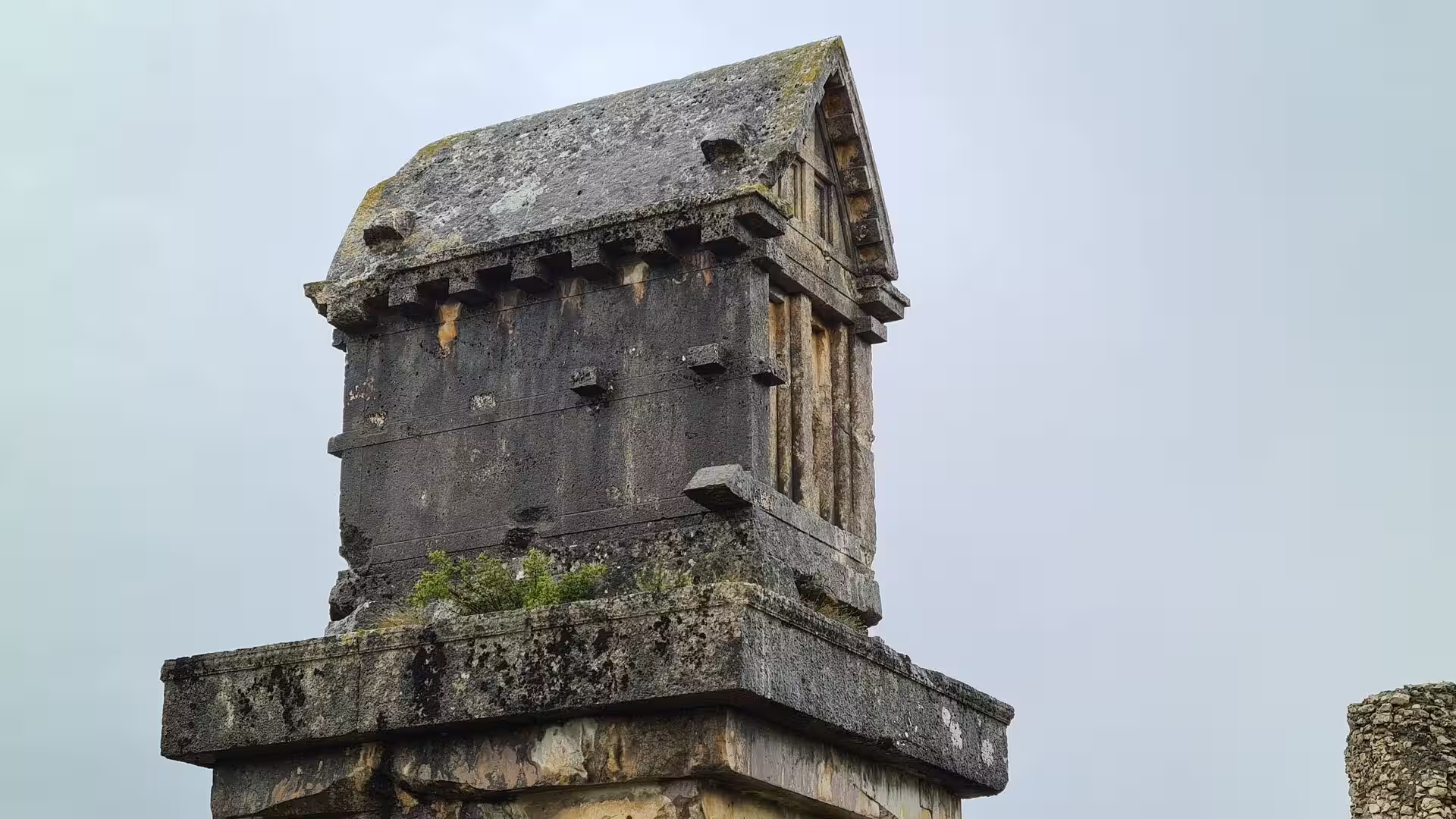
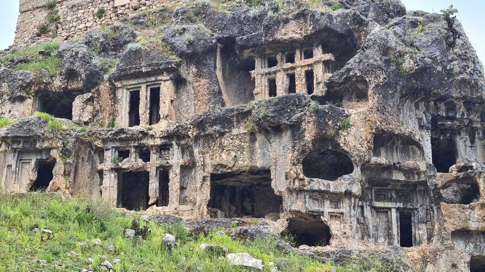
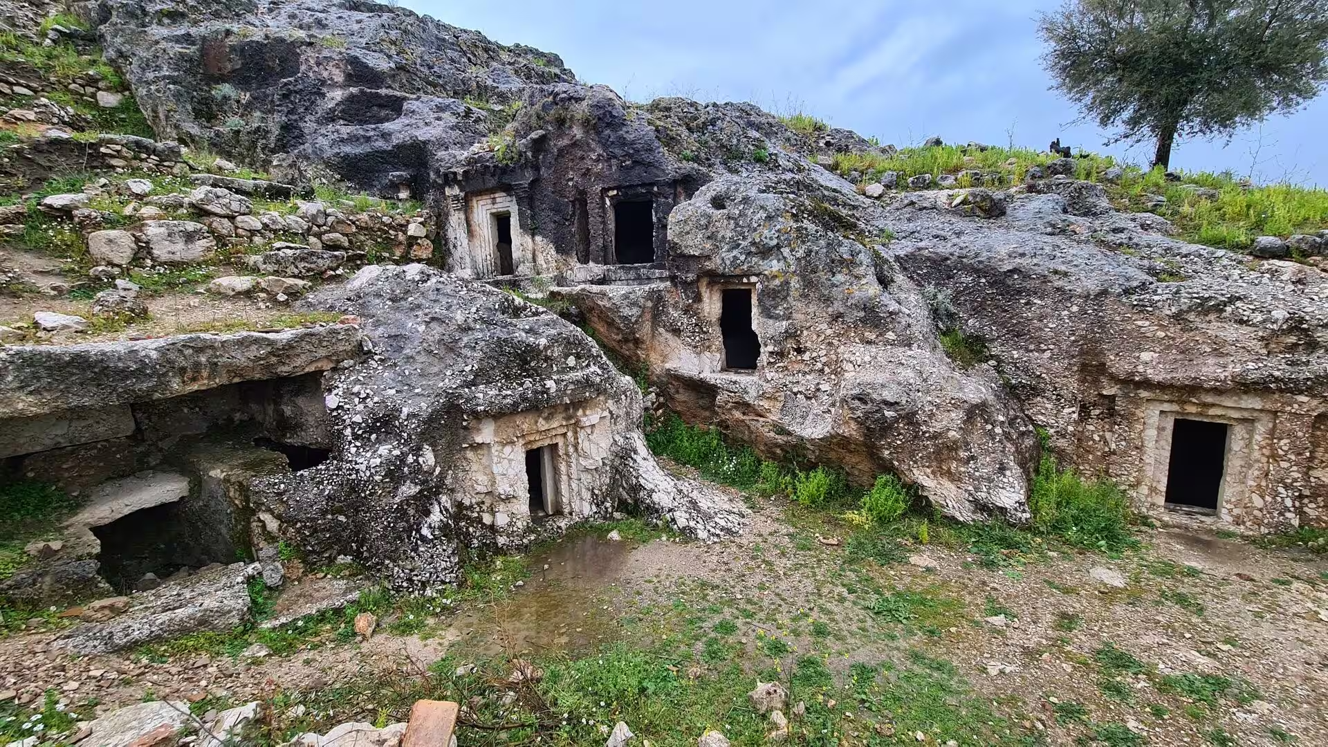
The rock tombs are the best-known monuments of the site. More than 150 burial chambers are cut into the steep limestone cliff above the river, and the finest of them, directly facing Dalyan, are temple-fronted facades: porches carved with two Ionic columns, a triangular pediment, an architrave with a toothed frieze and acroteria shaped like palm leaves, closed by stone doors that imitate studded wooden originals. The fashion began in the middle of the 4th century BC, when the Hekatomnid satraps of Caria were Hellenising the region, and tombs continued to be cut through the Hellenistic age. A path leads below the cliff, and from the water the pale facades against the rock are the signature view of the delta.
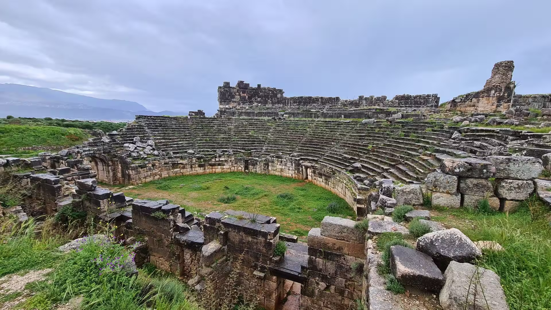
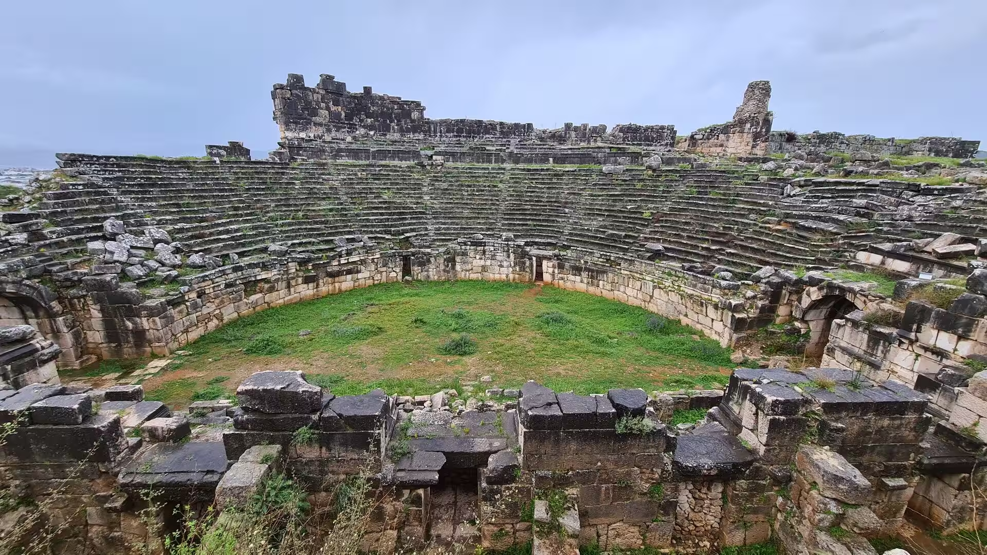
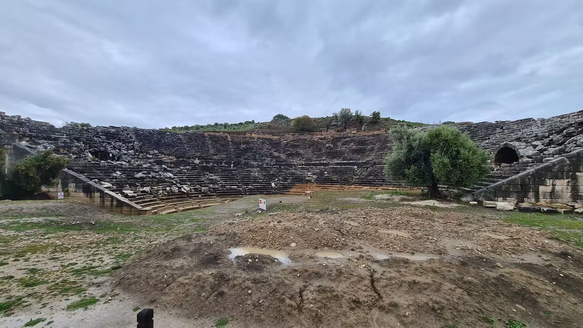
The theatre, hollowed into the lower slope of the acropolis, is one of the best-preserved public buildings of Kaunos. It combines Hellenistic and Roman phases, measures 75 metres across and holds about 5,000 spectators; from the upper rows the view runs out over the reed beds towards the distant sea, and the cavea is still used on occasion for performances.
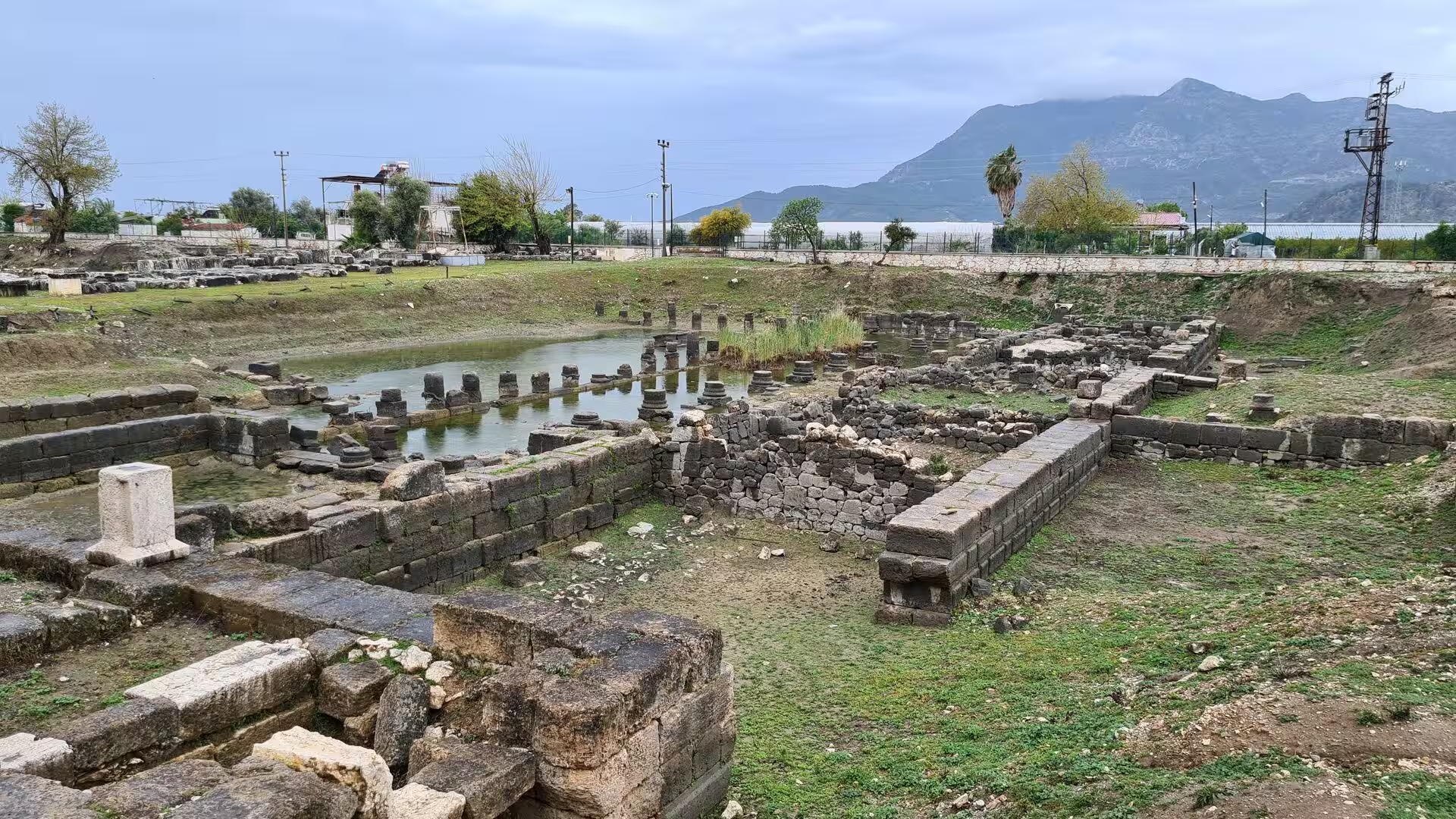
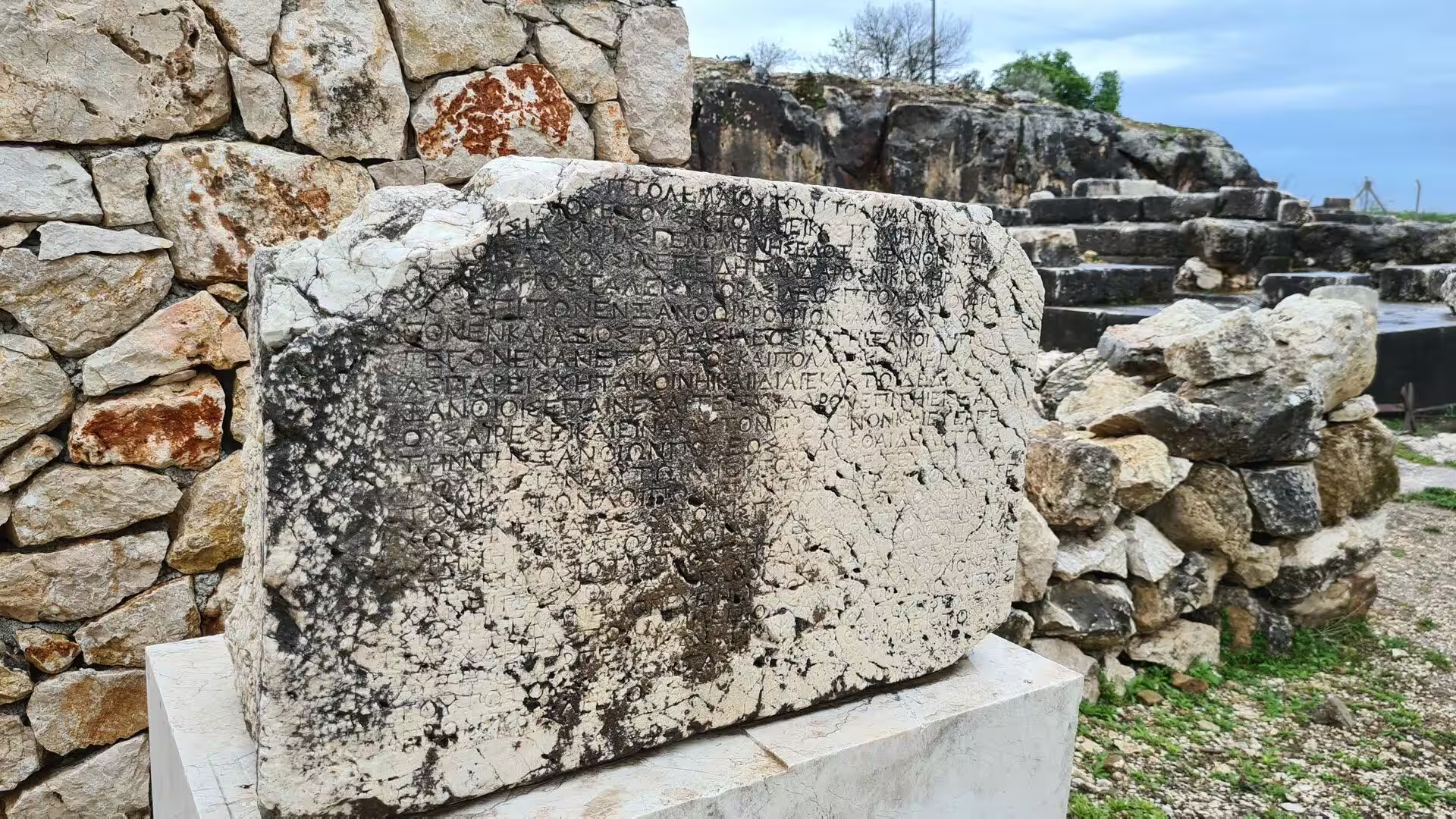
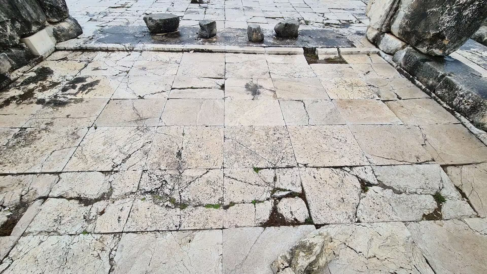
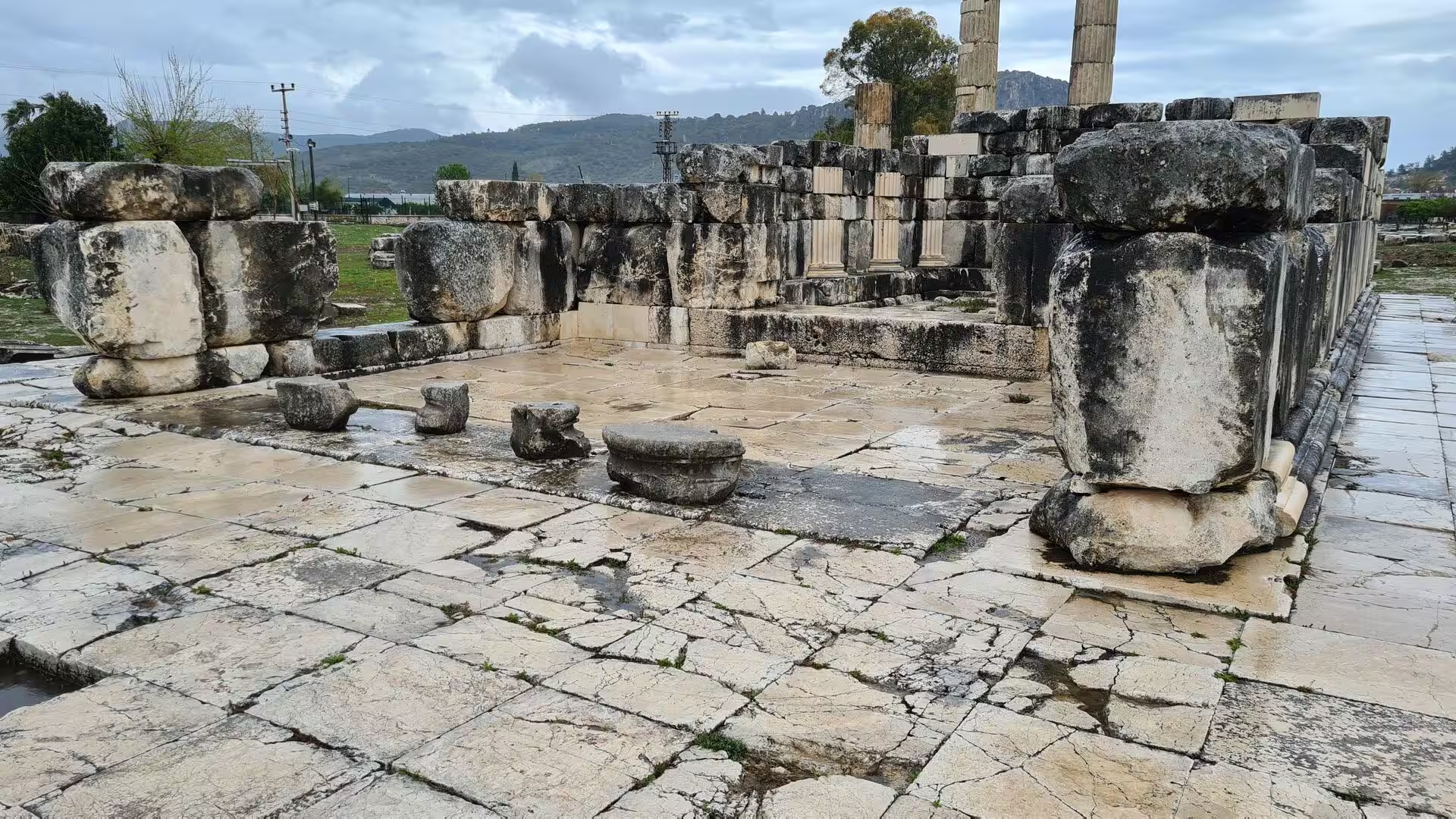
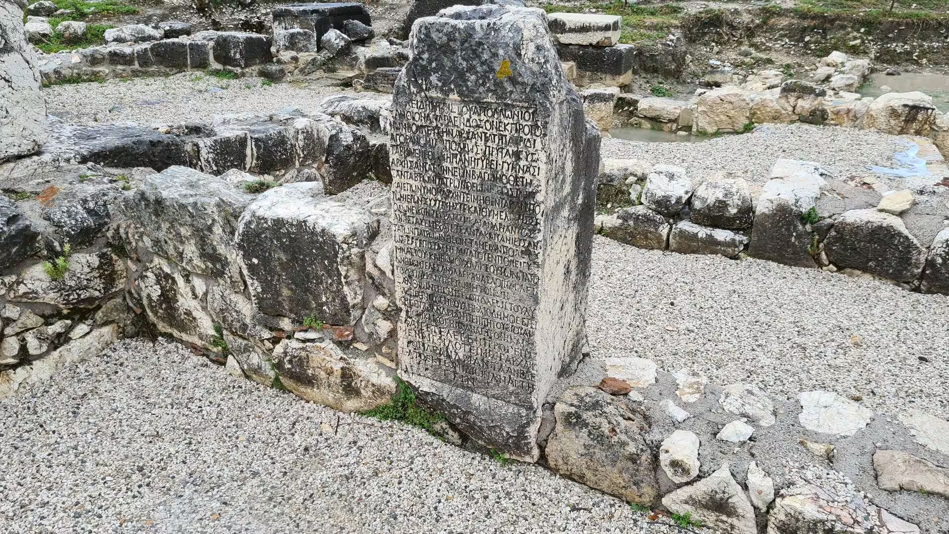
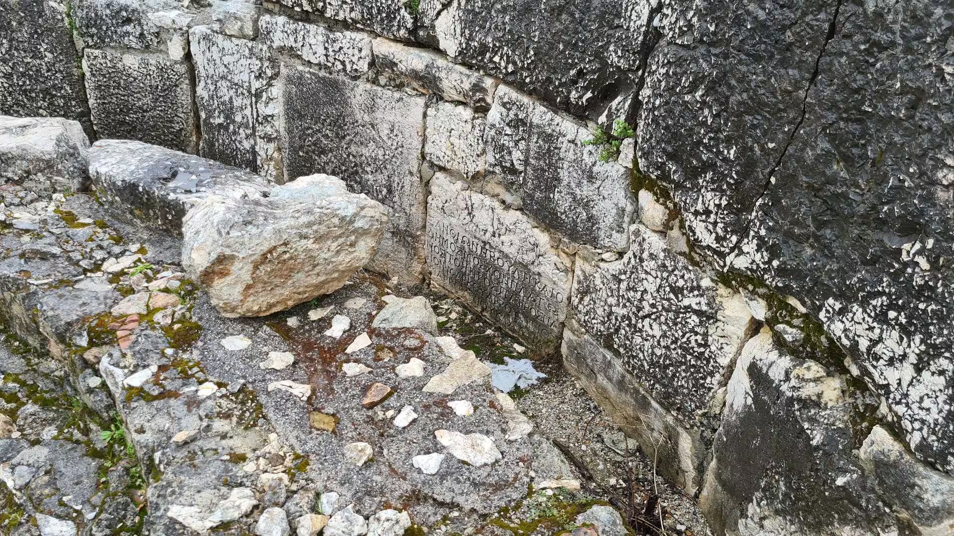
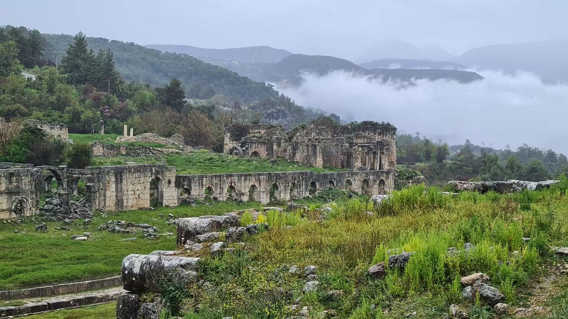
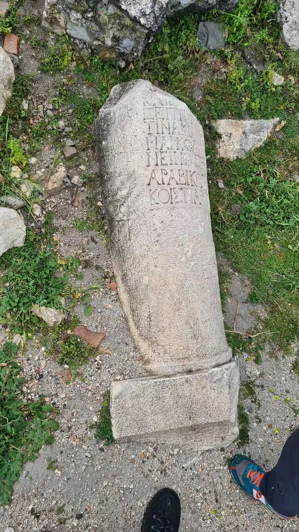
The agora and the harbours lie on the flat ground in front of the silted inner harbour, today’s Sülüklü Göl. The port agora of the 4th century BC spreads among grass and standing water, for the ground water stands high at the edge of the old basin and in the wet season the hollows of the excavation are flooded; marble statue bases, column stumps and the foundations of the long stoa that sheltered the north side survive, together with the basin of the nymphaeum, the public fountain of the Hellenistic city. Inscribed blocks are scattered through the site, among them the customs law of Kaunos and the Hadrianic regulations that eased the harbour tolls as the port silted.
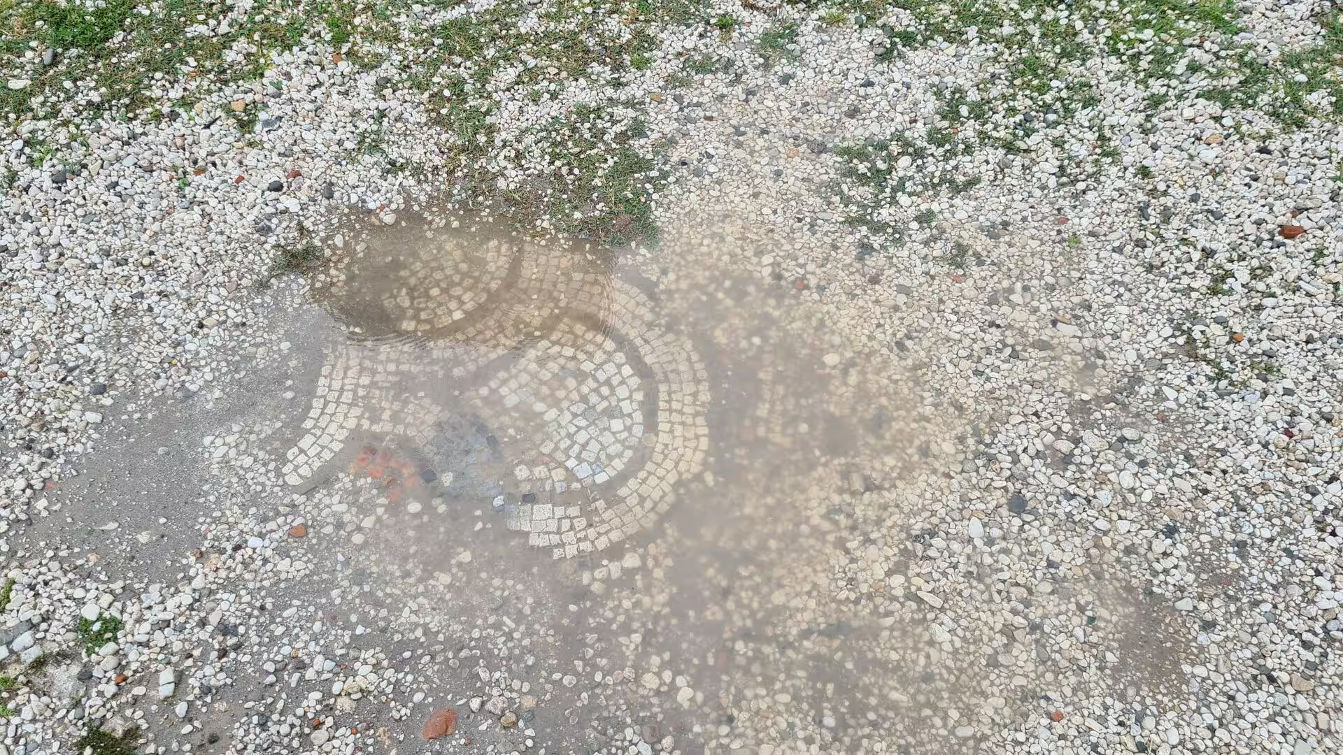
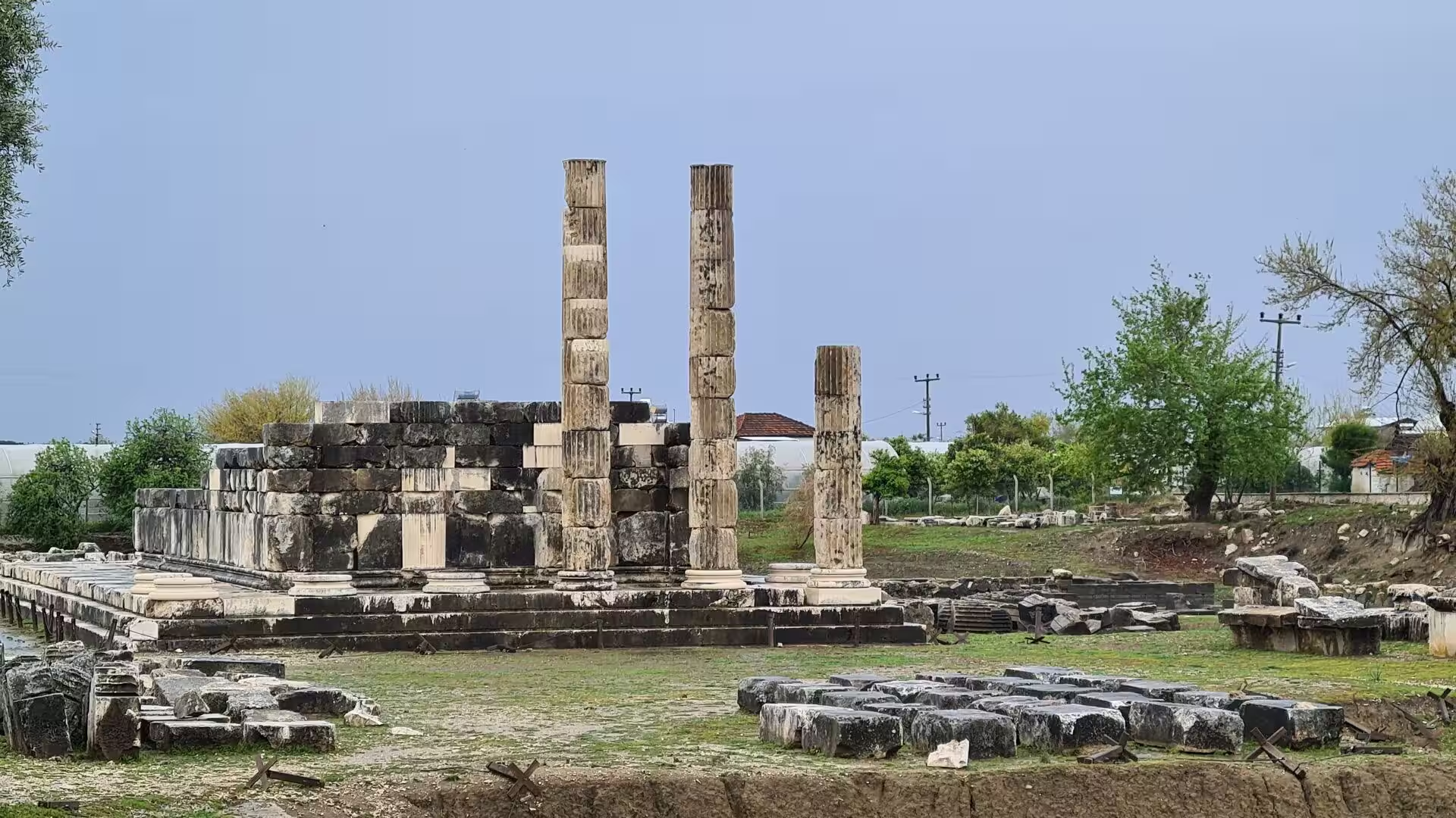
The upper terraces carried the palaestra with its Roman baths, the domed Byzantine basilica of the 5th century AD, the only Byzantine building of Kaunos still standing, and the mosaics uncovered beside it. Nearby stood the terrace temple of the 3rd century BC, which faced a circle of columns enclosing an obelisk, the emblem of the city shown on its coins. Six temples in all have been excavated, together with the sanctuary of the city god Basileus Kaunios and the sacred rock outcrops of Demeter; among the curiosities of the terrace is a circular wind-measuring platform of about 150 BC, built so that the streets could be laid out against the prevailing winds.
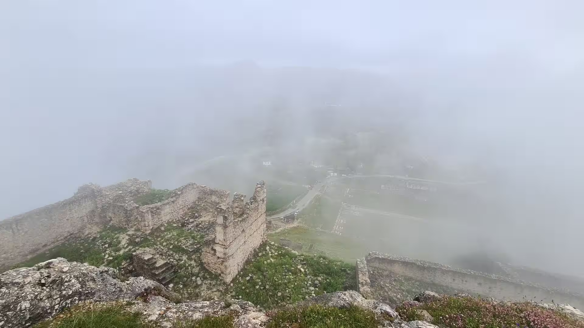
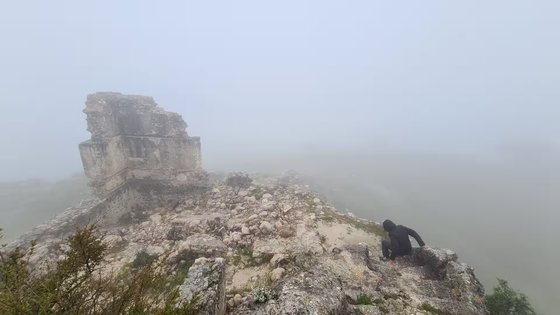
The acropolis and the city walls crown the site. The summit, fortified in Byzantine times, commands the whole delta from the lake in the north to İztuzu Beach and the open sea in the south; its ancient forts, Persikon and Heraklion, and the great circuit walls raised under Mausolus, laid without mortar in blocks up to 4 metres thick, enclose the hill. A walking track follows the walls before descending to the valley floor.
Dalyan town and the river make the delta easy to enjoy without leaving the water. From the quays of Dalyan the boats run between the reeds, past the fishing weirs that give the town its name, upstream towards the lake or downstream towards the sea, and the riverside restaurants of the town serve the fish of the estuary.
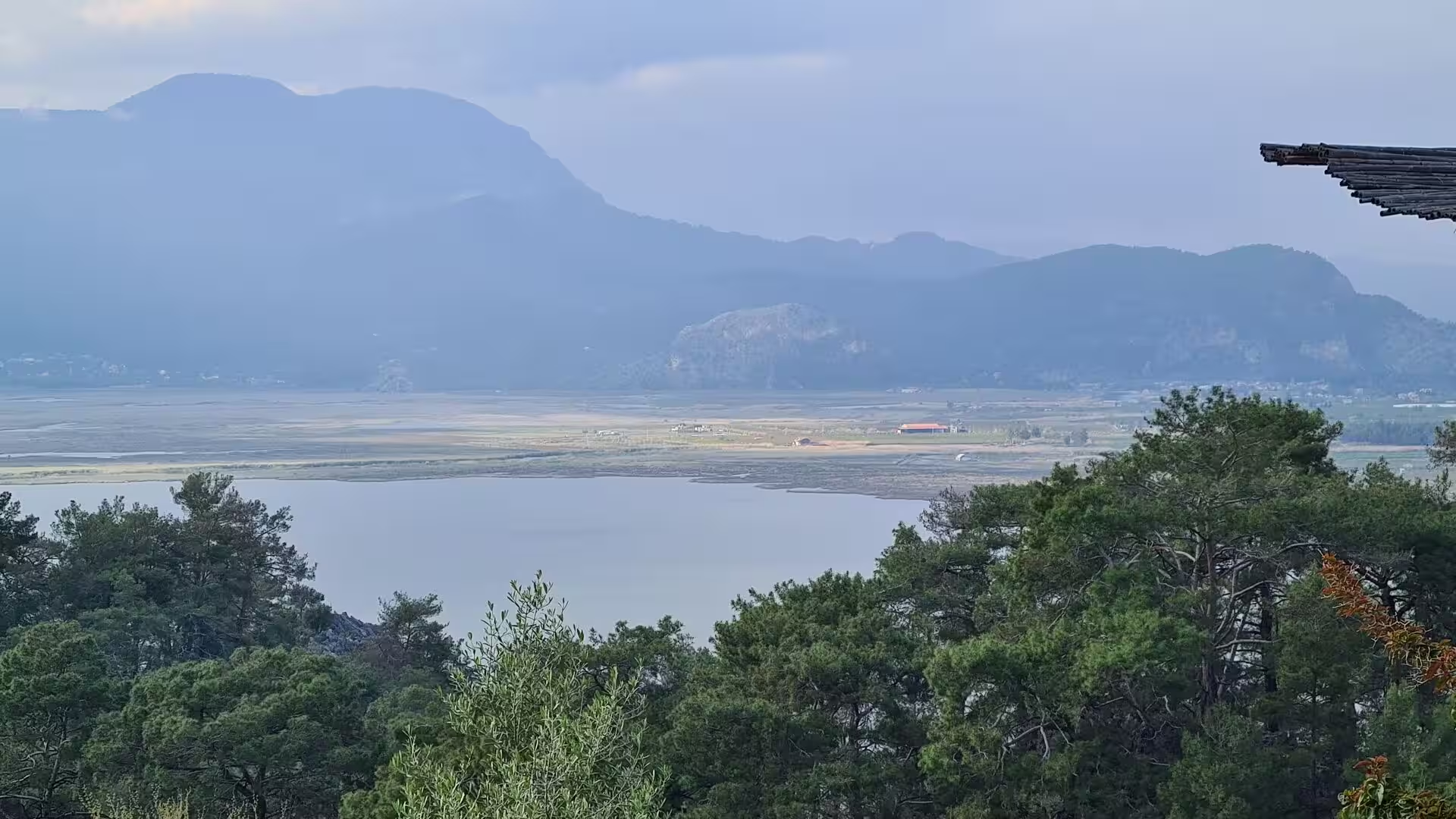
Lake Köyceğiz and Sultaniye lie at the northern end of the waterway. Boat excursions cross the lake, whose 5,200 hectares of open water are ringed by farmland and wooded hills; the usual stop is Sultaniye on the southern shore, where warm sulfurous springs rise from the fault line into bathing pools, and where a sanctuary of the goddess Leto once stood. The market town of Köyceğiz at the northern end of the lake is the gateway to the wider district.
İztuzu Beach, the sand spit that closes the delta against the Mediterranean, is one of the chief nesting beaches of the loggerhead turtle, with an average of some 300 nests a year. Since 1988 the beach has been protected: the marked nesting sites are fenced, and between 1 May and 31 October the sand is closed to the public from 20:00 to 08:00 while the turtles come ashore. The Sea Turtle Research, Rescue and Rehabilitation Centre, DEKAMER, founded in 2008 and active on the beach since 2009, treats injured animals and runs the monitoring programme. The beach is reached by boat through the reeds or by road past the Sülüngür lagoon.
References
- Bean, George E. (1971). Turkey Beyond the Maeander: An Archaeological Guide. London: Ernest Benn.
- Bean, George E. (1978). Lycian Turkey: An Archaeological Guide. London: Ernest Benn.
- Haimoff, June (1997). Kaptan June and the Turtles. London: Janus Publishing Company.
- Ancient City of Kaunos. UNESCO World Heritage Centre, Tentative Lists. whc.unesco.org/en/tentativelists/5906/
- Sea Turtle Research, Rescue and Rehabilitation Center (DEKAMER). www.dekamer.org.tr/
- Dalyan Tourism, Culture and Environment Protection Association. dalyantouristguide.com/
- Kaunos. en.wikipedia.org/wiki/Kaunos
- Dalyan. en.wikipedia.org/wiki/Dalyan
- İztuzu Beach. en.wikipedia.org/wiki/%C4%B0ztuzu_Beach
- Lake Köyceğiz. en.wikipedia.org/wiki/Lake_K%C3%B6yce%C4%9Fiz
- Köyceğiz. en.wikipedia.org/wiki/K%C3%B6yce%C4%9Fiz
- Ortaca. en.wikipedia.org/wiki/Ortaca
- Muğla Province. en.wikipedia.org/wiki/Mu%C4%9Fla_Province
- Lycia. en.wikipedia.org/wiki/Lycia
- Caria. en.wikipedia.org/wiki/Caria
- Köyceğiz-Dalyan Special Environmental Protection Area. en.wikipedia.org/wiki/K%C3%B6yce%C4%9Fiz-Dalyan_Special_Environmental_Protection_Area