Day 11 - Dalyan to Didim
22 July 2023





















Journal Notes
General
The country around Dalyan and Didim forms the south-western corner of the strip of Anatolia that the ancients knew as Caria, lying between Lycia in the south-east and Ionia beyond the Maeander river. Dalyan is a town of Muğla Province, set on the channel that links Lake Köyceğiz with the Mediterranean a few kilometres to the south. Didim belongs to Aydın Province and occupies a headland of the Aegean coast between the Gulf of Güllük and the delta of the Büyük Menderes River, the classical Maeander. Between the two towns rise wooded hills, olive country and the open plains around Muğla and Milas.
Dalyan is a small town of about 5,800 people (2022) in the district of Ortaca. It occupies the west bank of its river where the waterway narrows between the reedy flats of the delta and the wooded hill of the ancient city on the far shore. Life in the town turns towards the river: excursion boats and fishing craft crowd the small quays, and most of the surrounding sights, from the cliff tombs to the beaches of the river mouth, are reached by boat. In 1987 a plan to build a large hotel on İztuzu Beach, the nesting shore of the loggerhead turtle, provoked an international protest; the project was stopped, and in 1988 the beach and its hinterland were declared the Köyceğiz-Dalyan Special Environmental Protection Area, which today guards the lake, the delta and the coast.
Didim is the larger and younger settlement. The district covers 424 square kilometres and has about 97,000 inhabitants (2022); the town itself numbers some 26,000. Since the 1980s it has grown into one of the busiest resorts of the Aegean, driven first by package holidays and cooperative summer housing for buyers from the cities of the Turkish interior, then from about 2000 by a large community of British second home owners. The resort quarters of Altınkum, whose name means golden sand, Akbük and Mavişehir line the shore with hotels, and the marina, opened in 2009, shelters fishing boats and wooden excursion craft beside the town centre.
The district enjoys a mild coastal climate with long, hot and sunny summers and short, wet winters, and the tourist season is one of the longest on this coast. Tourism dominates the economy, yet the farmland of the hinterland still produces wheat, cotton, olives and citrus, and the gnarled olive trees of the hillsides between the two towns belong to one of the oldest cultivated landscapes of the region.
History
Ancient Caria took its name from the Carians, an Anatolian people whose language, akin to Luwian and written in an alphabet of its own, survived into the fourth century BC. Greek writers saw the Carians and the kindred Leleges as the oldest inhabitants of the coast. Caria was a country of small cities rather than of a single capital; among them Mylasa, the modern Milas, was long the most influential, the road between the two towns passes the ruins of several, among them Stratonikeia, Lagina and Euromos.
Caria entered firmly documented history as a province of the Persian empire. In the early fourth century BC the Great King entrusted the satrapy to a native of Mylasa, Hecatomnus, whose Hecatomnid family governed Caria for more than half a century. His son Mausolus (377-353 BC) raised the dynasty to its height: he embellished his native Mylasa, moved his seat to Halicarnassus and drove the cities of the province to fund an ambitious building programme. His colossal tomb at Halicarnassus, completed by his sister and widow Artemisia, was counted among the Seven Wonders of the Ancient World, a chamber tomb at Mylasa linked to Hecatomnus is on UNESCO’s tentative list. The dynasty ended with Ada, who adopted Alexander the Great in 334 BC and was restored by him to her throne.
After Alexander’s death the Carian cities were fought over by his successors. The Seleucid king Antiochus I founded Stratonikeia, probably between 281 and 261 BC, on the site of the older Carian town of Idrias or Chrysaoris, naming it for his wife Stratonice. The new foundation absorbed the rural sanctuaries of the interior, above all the temple of Hecate at Lagina, and became the seat of the Chrysaorian League, a federation of Carian towns that met at the temple of Zeus Chrysaoreus. In 129 BC the whole of Caria was folded into the Roman province of Asia. In 88 BC Mithridates VI of Pontus wintered at Stratonikeia; in 40 BC the city withstood a siege by Quintus Labienus and his Parthians, and the Senate and Augustus rewarded its loyalty with freedom.
Didyma, the sanctuary of Apollo at Didim, belonged to Miletus, the Ionian metropolis to the north. Tradition carried its foundation back before the coming of the Greeks; archaeology traces the shrine to the late eighth century BC. Its priests, the clan of the Branchidae, interpreted the words of a prophetess seated above the sacred spring, and the shrine grew rich on the gifts of the Greek world. In 494 BC, after the fall of Miletus in the Ionian Revolt, the Persians burned the temple, took the bronze cult statue to Ecbatana and silenced the oracle. The Milesians began to rebuild after Alexander freed their city in 334 BC, and the temple they planned, ringed by a double colonnade on a stylobate of about 51 by 109 metres, was meant to rival the greatest temples of the world, but the work continued for centuries and was never finished. The oracle revived under Seleucid patronage in the third century BC and was still consulted under the Roman empire, its Didymeia festival drawing competitors from far away. Around AD 500 a basilica rose inside the ruined temple, and Didyma remained a bishopric into the Byzantine age.
The southern end of the region belongs to Caunos, the ancient city across the river from Dalyan. Known to the Carians as Kbid, it was a port of note when the Persians took it around 546 BC. After the Persian wars it paid tribute to Athens, its assessment rising tenfold in 425 BC as trade in salt fish, dried figs and timber grew. Under Mausolus the city was enlarged and fortified, and under Hellenistic and Roman rule it prospered with a theatre, baths and a palaestra. In 88 BC the Caunians joined Mithridates in killing the Roman residents and were handed back to Rhodes as punishment after the peace of 85 BC. Arab raids from the seventh century AD, the Turkish conquests of the fourteenth and a malaria epidemic in the fifteenth century emptied the city; its ruins were identified in the 1840s, and excavation began in 1966.
Turkish rule came in stages: after the battle of Manzikert in 1071 the coast passed gradually to the Seljuks, and in the late thirteenth century the Menteşe dynasty ruled most of Caria from Milas and the fortress of Beçin. In the early fifteenth century the Ottomans took the area for good and moved the regional seat to Muğla.
Geology
Western Anatolia is being stretched apart along a series of east-west fault troughs, and this tectonic extension has shaped almost everything seen between Dalyan and Didim. The largest of the troughs is the Büyük Menderes graben: its river rises near Dinar and winds for several hundred kilometres between fault-bounded ranges to reach the Aegean close to ancient Miletus. The gulf coast on which Didim looks out belongs to the same broken margin of deep gulfs and rocky headlands.
The hills between the two towns are part of the Menderes Massif, a broad belt of metamorphic rock, chiefly gneiss, schist and marble, buried and transformed deep underground during the Alpine mountain building and later raised and exposed as the crust thinned. At Milas the town stands at the foot of Mount Sodra, on and around which sizeable quarries of white marble have been worked since very ancient times, and the same stone, cut into column drums, capitals, altars, sarcophagi and inscribed blocks, fills the ruins and the museum courts of the district.
The rivers tell the second great story. The Maeander was famous for the sinuous bends that gave English the word meander, and its mud did more than shape its channel: ancient observers already reckoned that the sediment had pushed the shore forward by 20 or 30 stadia, some 4 to 6 kilometres. The same alluvium sealed the mouth of the Latmian Gulf and cut off a sheet of sea water that survives as Lake Bafa, whose reedy shores now enclose the ruins of Heraclea, a port of antiquity stranded far from the open sea. Miletus, whose harbour silted up in the Roman period, suffered the same fate, and so did Caunos, whose basins were filled by the mud of the Dalyan river until the city stood well inland from the coast it had once commanded.
Lake Köyceğiz and the Dalyan delta belong to a younger and gentler part of the same coastal story. The lake fills a shallow basin behind the coastal hills; a narrow channel, the Dalyan river, drains it to the Mediterranean past the town and the ruins of Caunos, and at the river mouth the long sand spit of İztuzu, about 4.5 kilometres of beach, separates the fresh water of the delta from the sea. Barrier coasts of this kind are never still: channels silt up and shift with floods and storms, as they have since antiquity, when Caunos lost its harbours.
Limestone and marble cliffs complete the picture. The rock-cut tombs high above the Dalyan river were carved with iron tools directly into the living stone of the cliff. Along the faults of the graben system rise thermal springs, such as the spa of Sultaniye on the shore of Lake Köyceğiz, where a sanctuary of the goddess Leto stood in antiquity. The faults remain active, and south-western Turkey is still earthquake country, shaken and rebuilt throughout its history.
Things to See
Dalyan has grown up on the bank of the Dalyan river, the channel that carries the water of Lake Köyceğiz to the Mediterranean, and the town’s quays, fish restaurants and reed-fringed waterfront make it the natural starting point for the delta. Boats run upstream to the lake, whose wooded shores hide the thermal springs of Sultaniye, and downstream towards the sea, past the rock-cut chamber tombs that stand in the cliff at the bend opposite the town. The tombs, cut into the living limestone of the ancient necropolis high above the water, are the emblem of Dalyan and are best seen from a boat passing beneath them. Beyond the tombs the river widens towards İztuzu Beach, a 4.5 kilometre sand spit separating the delta from the open sea and one of the principal Mediterranean nesting grounds of the loggerhead turtle (Caretta caretta). The beach, protected since 1988 within the Köyceğiz-Dalyan Special Environmental Protection Area, is closed to visitors at night during the summer nesting season.
Didim spreads along a coast of long sandy beaches, low headlands and scrub-covered hills. The resort district of Altınkum, whose Turkish name means golden sand, holds the most popular stretch of beach; quieter coves open around Akbük Bay, while the quarters nearer the centre, such as Mavişehir, line the shore with hotels and promenades. At the town harbour, wooden excursion boats and small fishing craft moor beside the marina, which opened in 2009, and along the seafront walk stands a bronze monument inscribed with the maxim of Atatürk, ‘Peace at home, peace in the world’. In summer the promenade stays lively until late. The beaches and the modern town, however, are only half of Didim’s attraction, for the ancient sanctuary of Didyma lies within the district and the columns of its temple rise above the surrounding houses.
Didyma was the great oracle sanctuary of Apollo, owned by the city of Miletus and linked to it by a processional Sacred Way. The oracle was famous in the archaic age, when the priestly clan of the Branchidae interpreted the words of the prophetess above the sacred spring; the Persians destroyed the temple in 494 BC, and the Hellenistic rebuilding begun after Alexander the Great’s conquest in 334 BC continued for centuries without ever being completed. The plan was colossal: a dipteral temple ringed by a double file of Ionic columns 19.7 metres high, ten across the front and twenty-one along the flanks, standing on a stylobate of about 51 by 109 metres above a seven-stepped base of nearly 60 by 120 metres. Instead of a closed cella, the interior opened as an unroofed courtyard, the adyton, reached by two vaulted tunnels and shaded by the sacred laurel tree, with the little temple of the cult statue and the oracle spring at its heart. Above the colonnade ran a frieze carved with the great gorgon heads of Medusa, the best known sculptures of the site. Today the fallen giants of the temple stand in open farmland a short way from the sea, several of the original columns still upright, and the ruins are among the best preserved of any Greek temple.
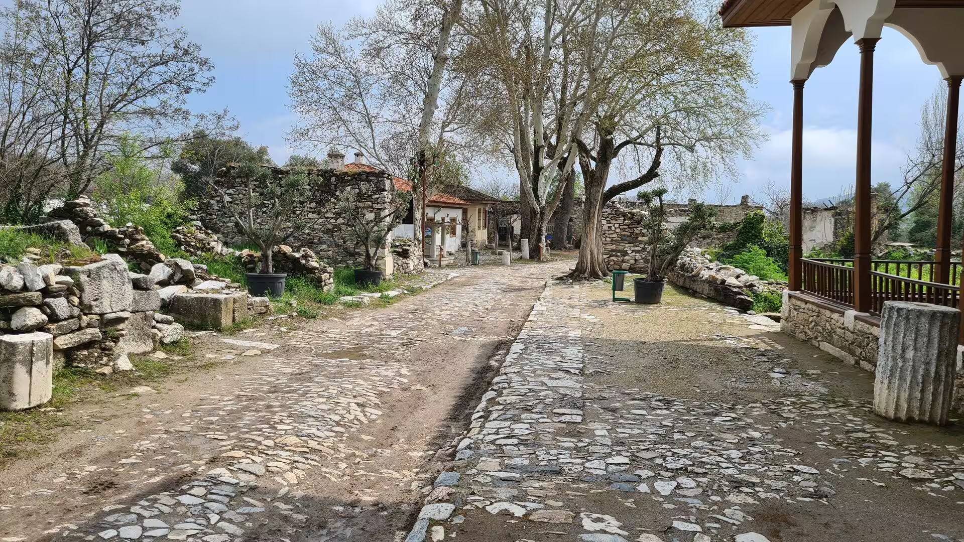
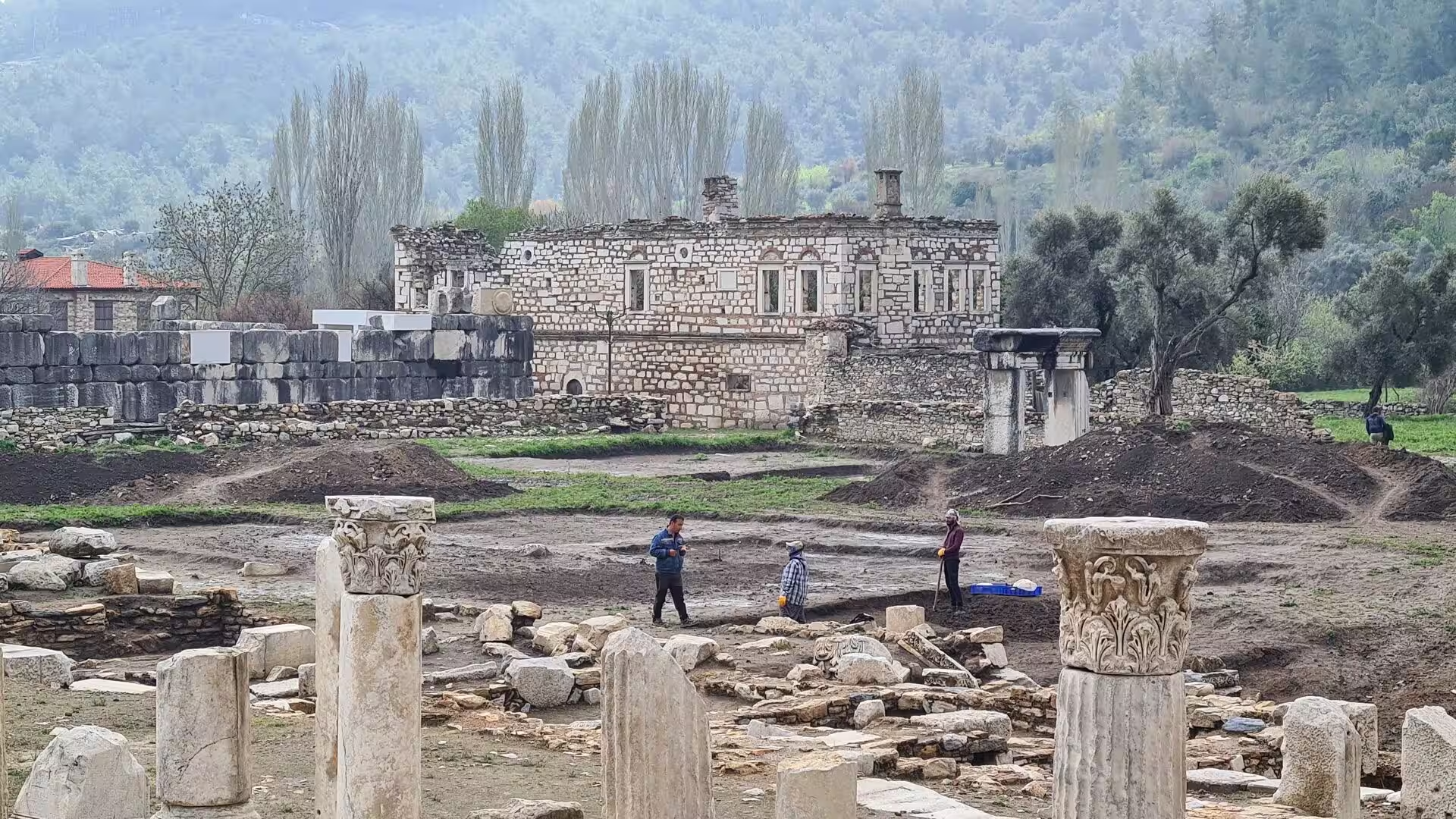
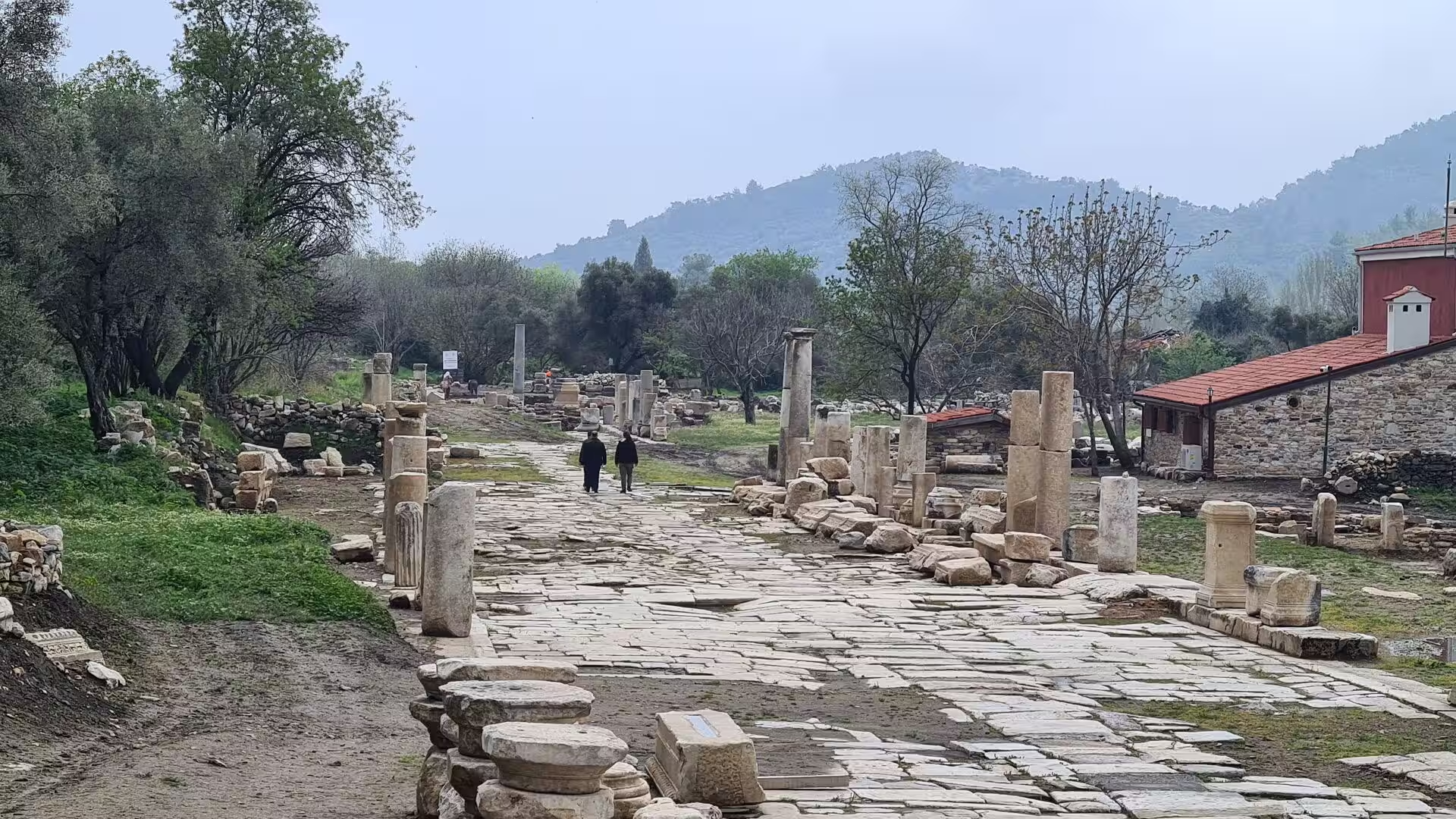
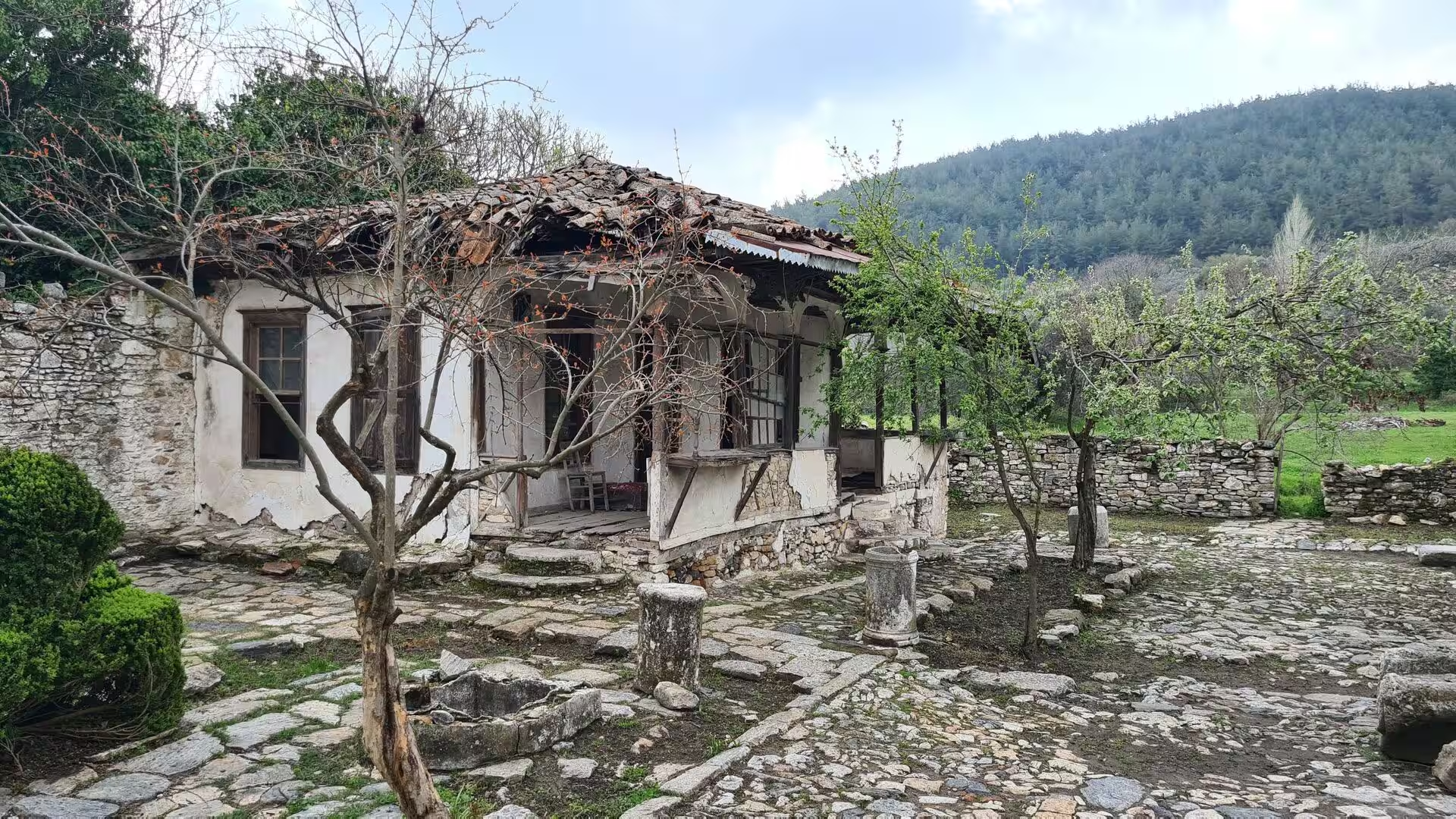
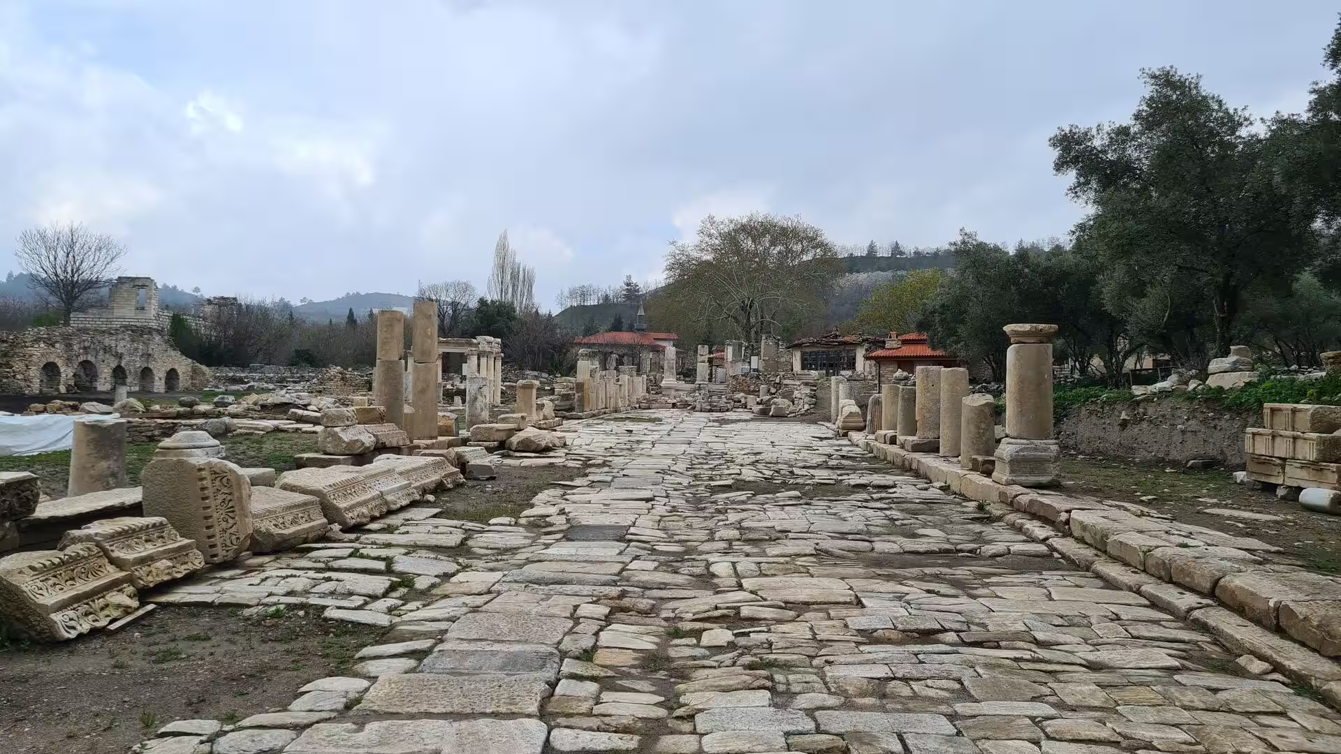
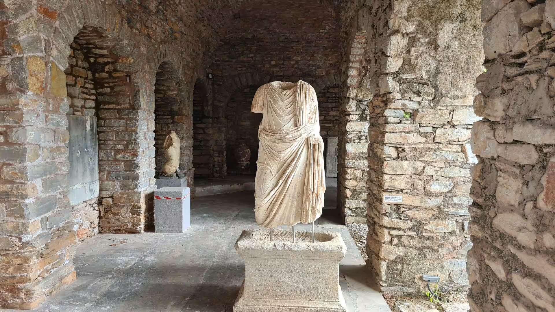
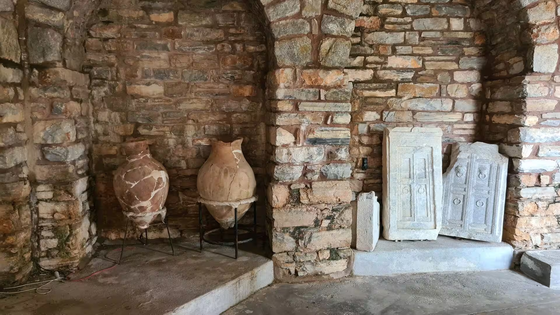
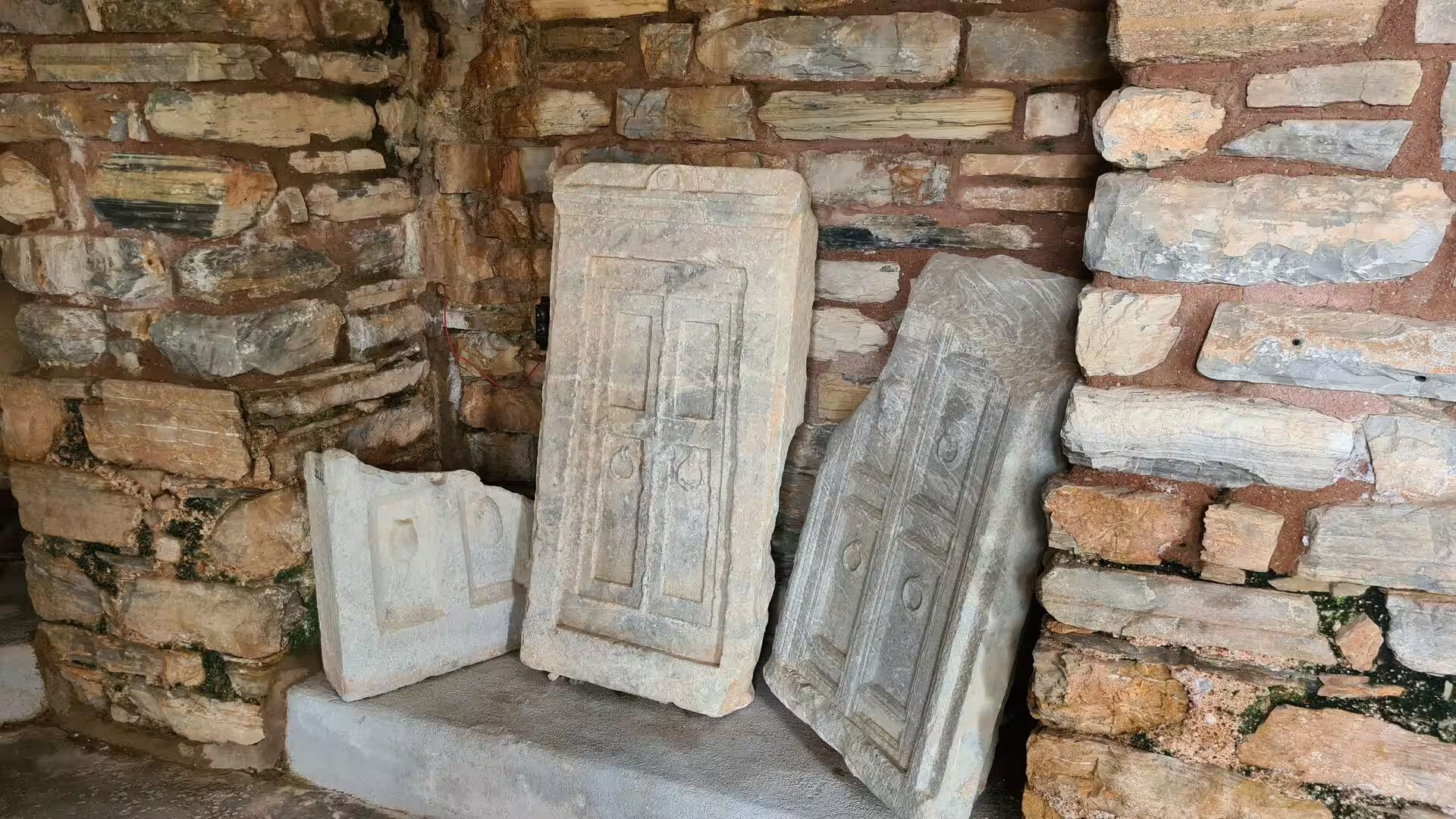
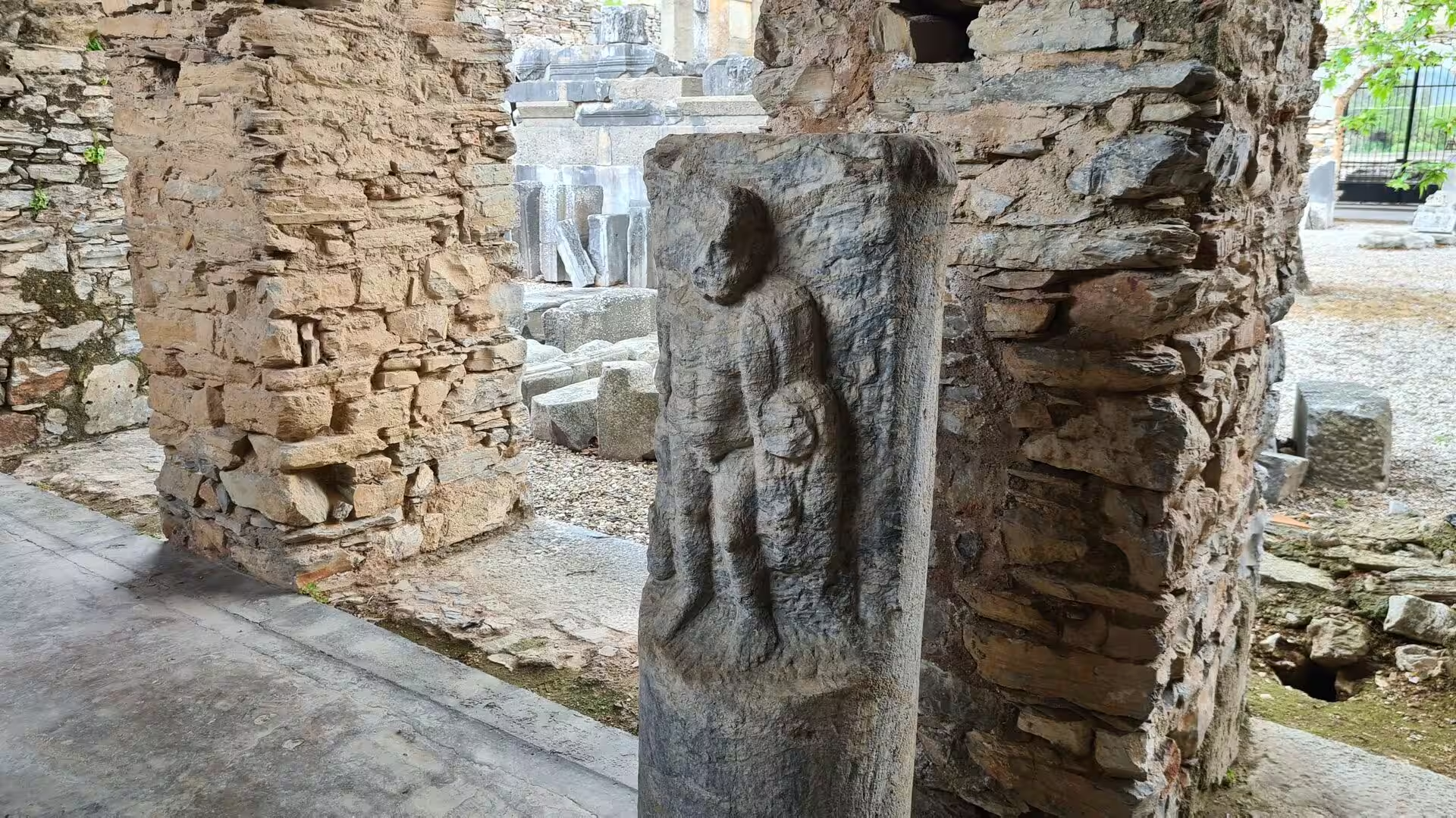
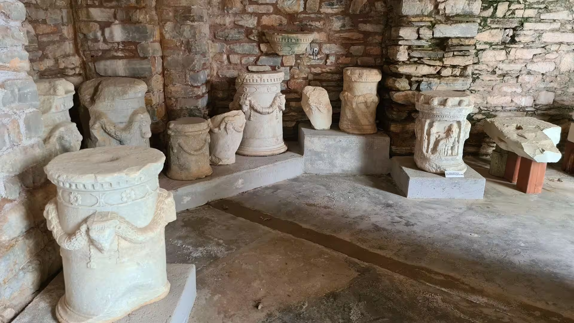
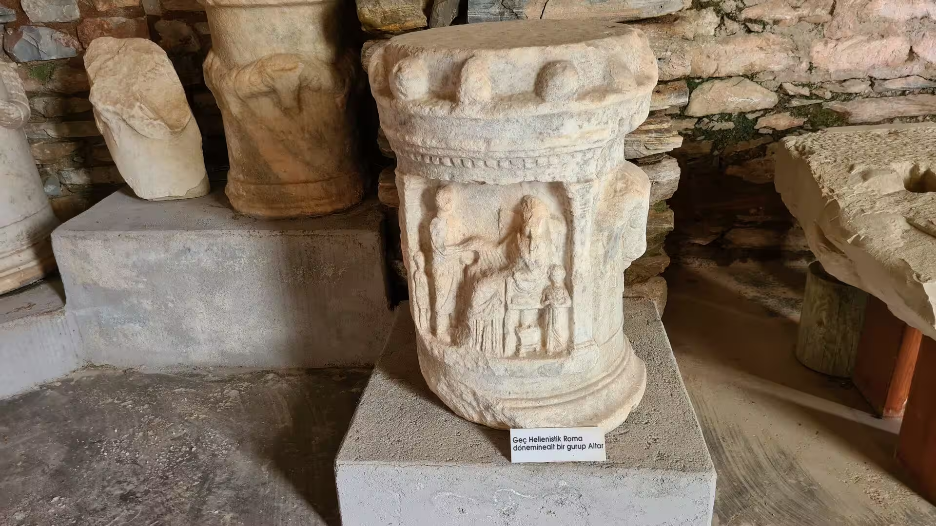
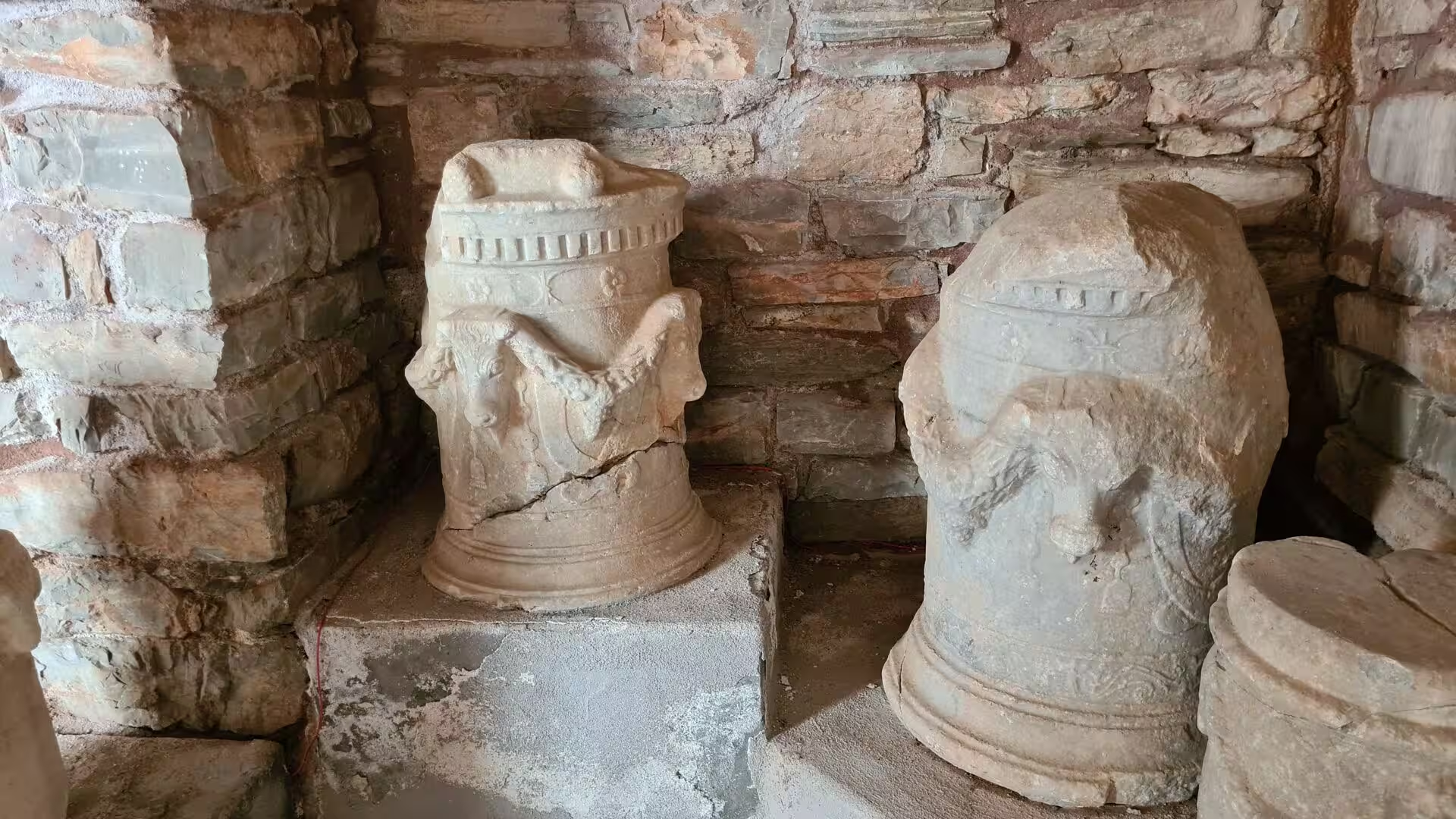
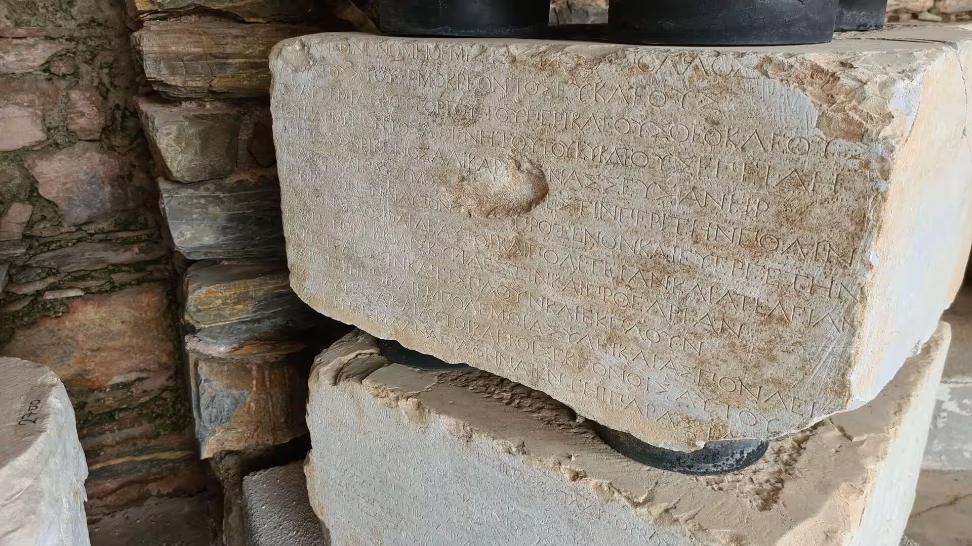
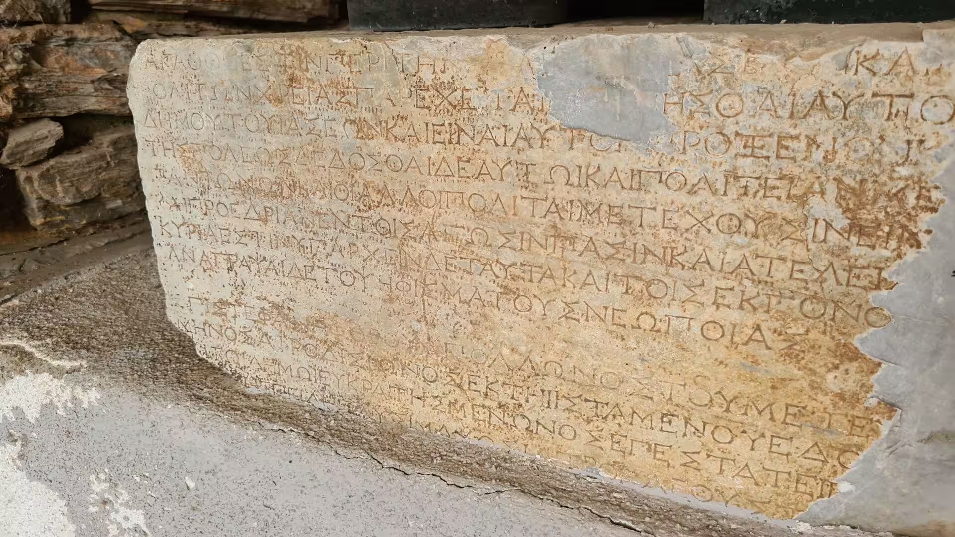
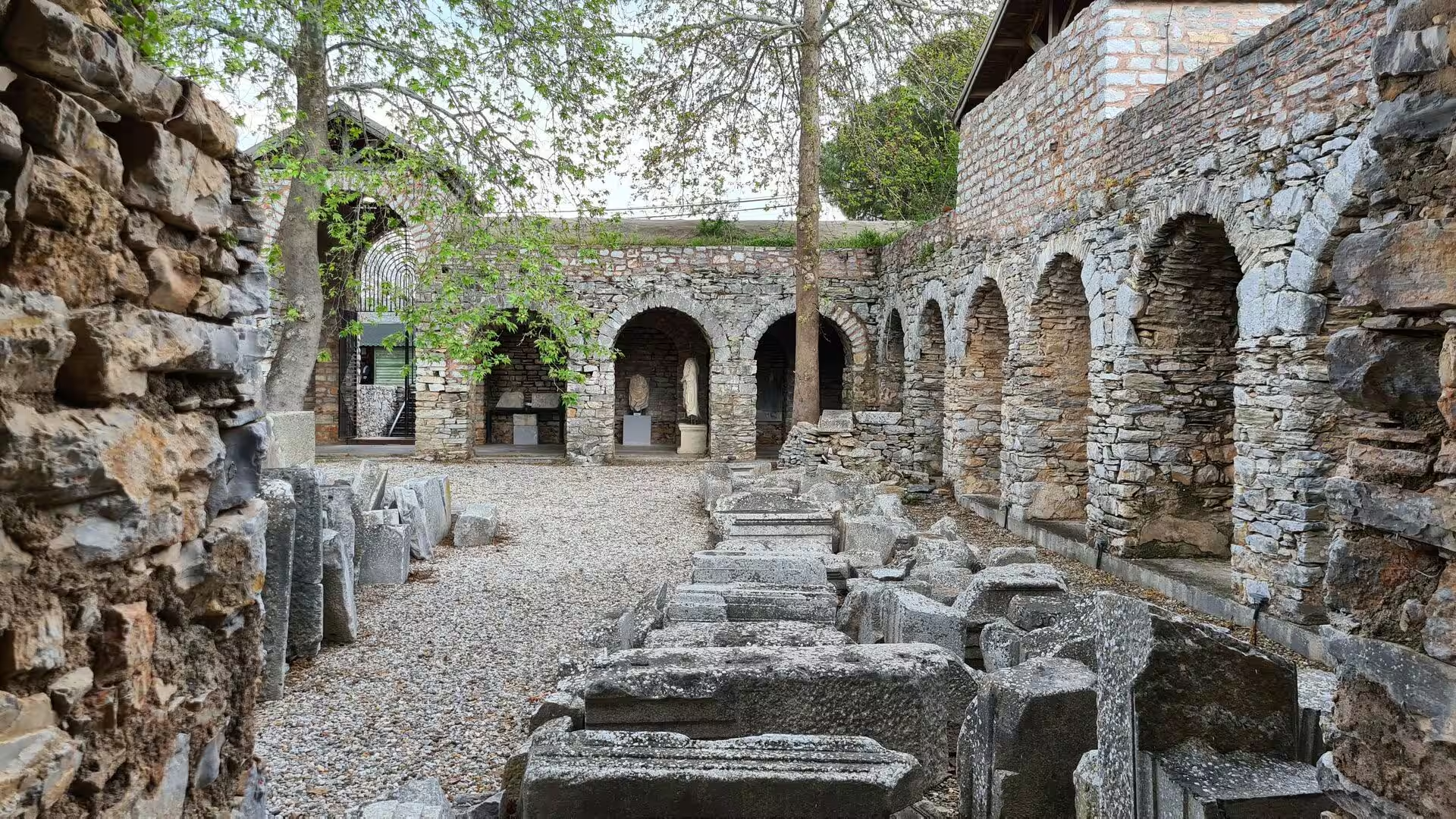
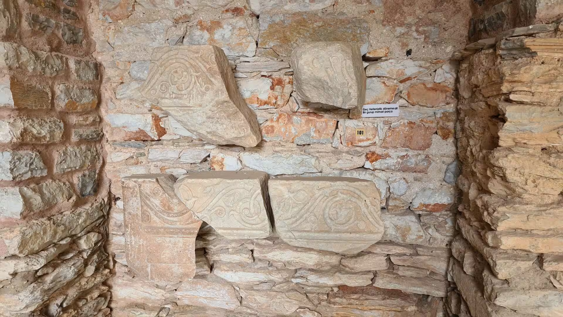
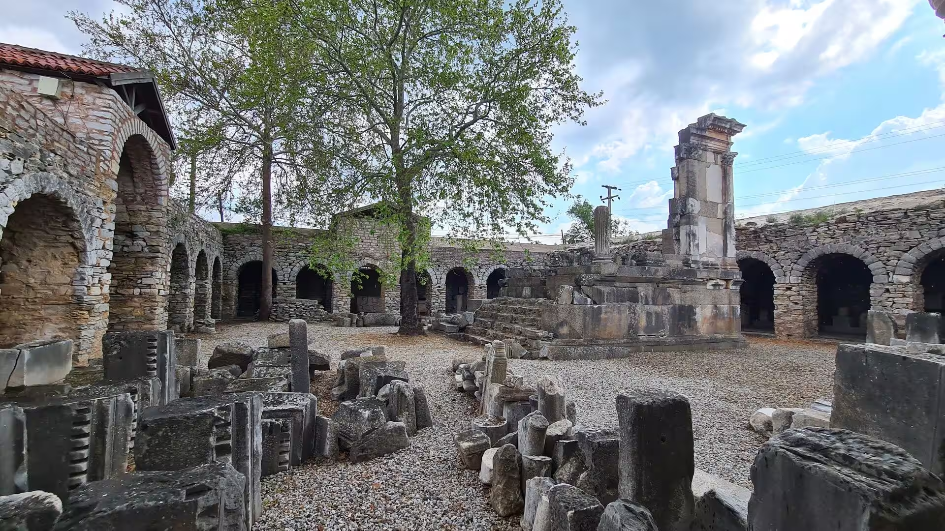
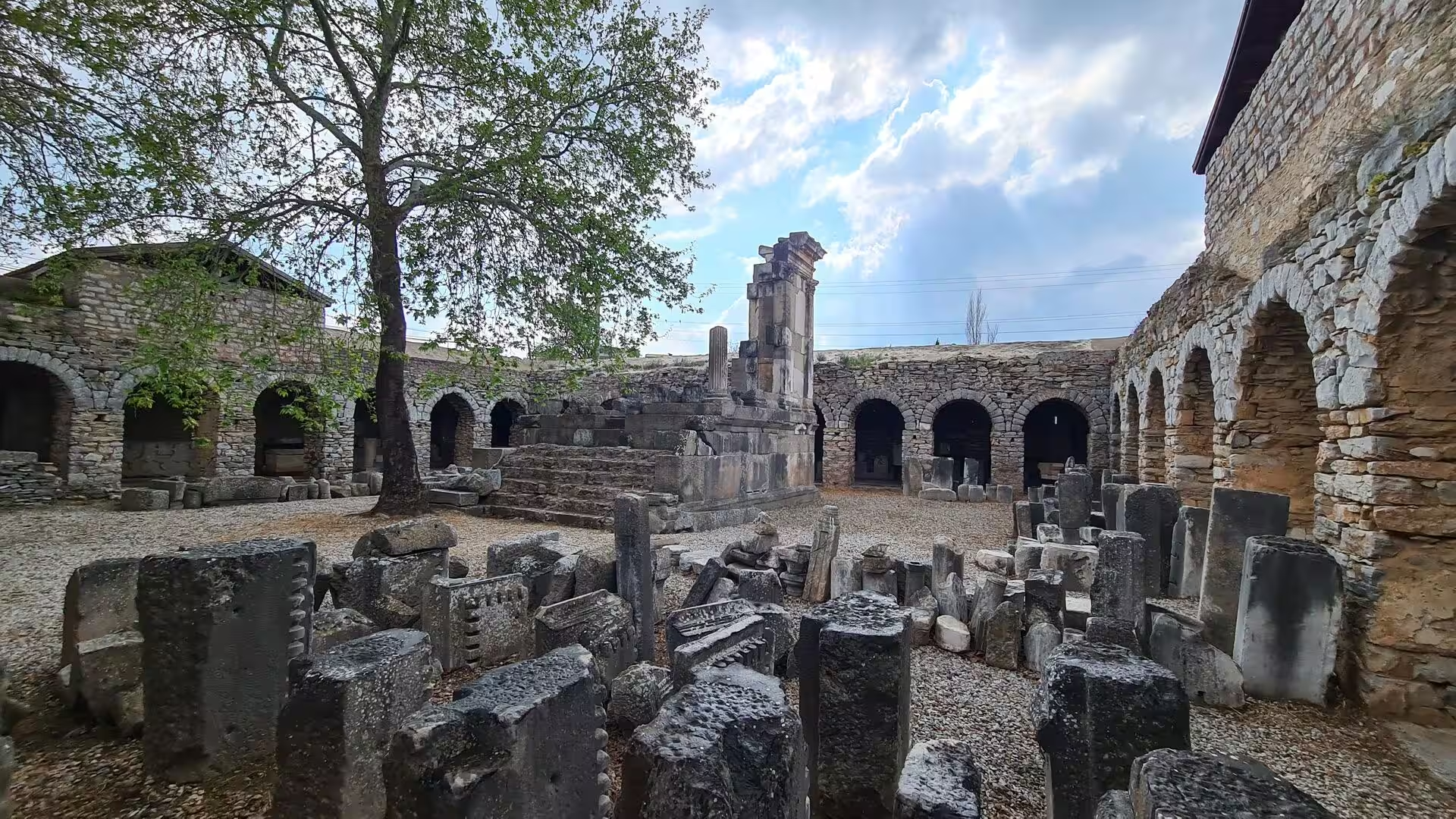
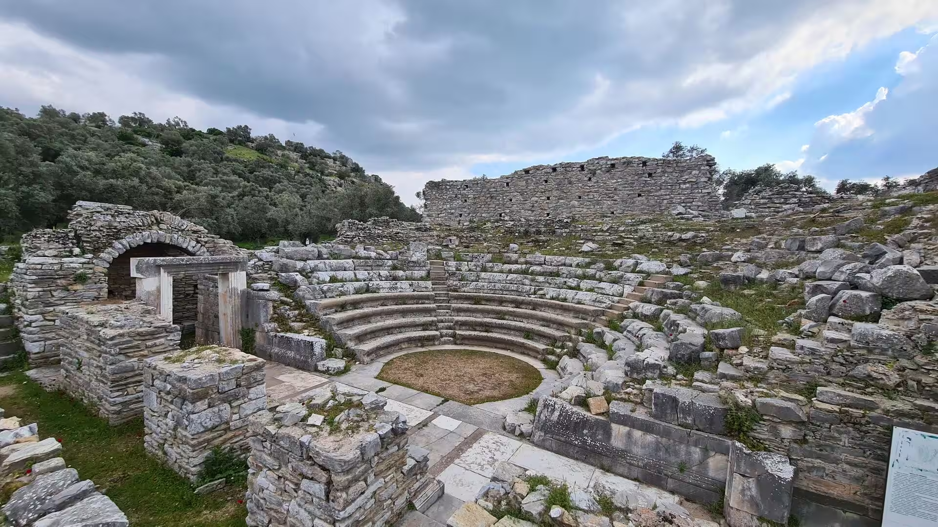
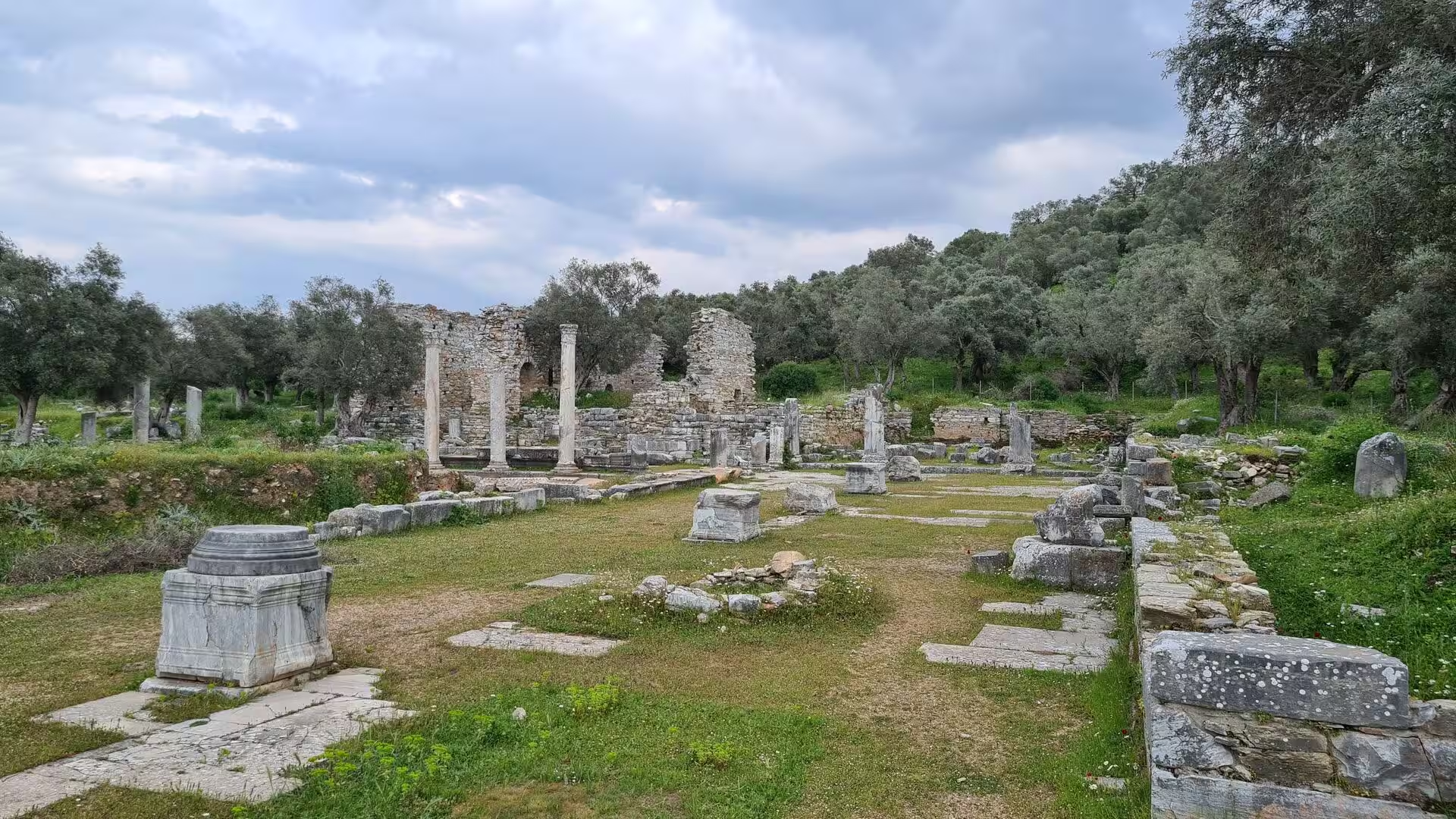
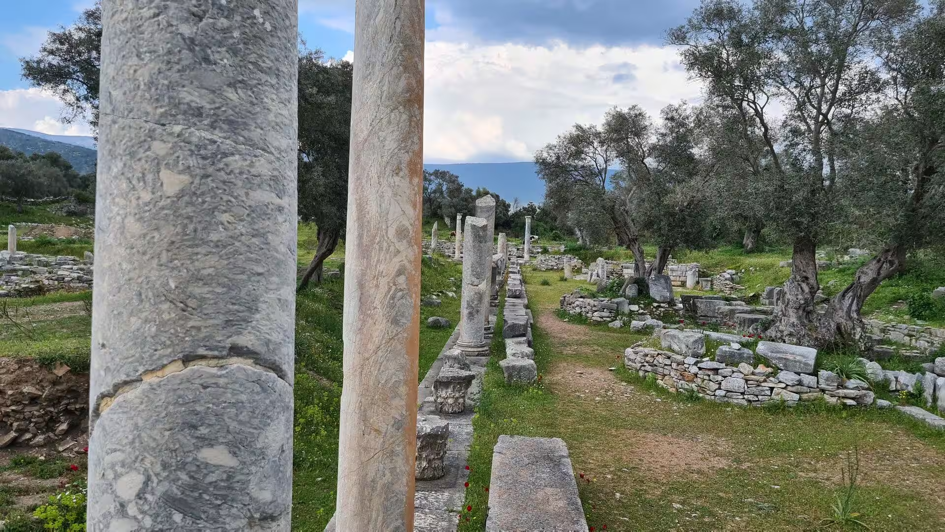
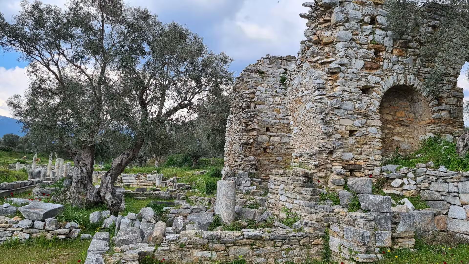
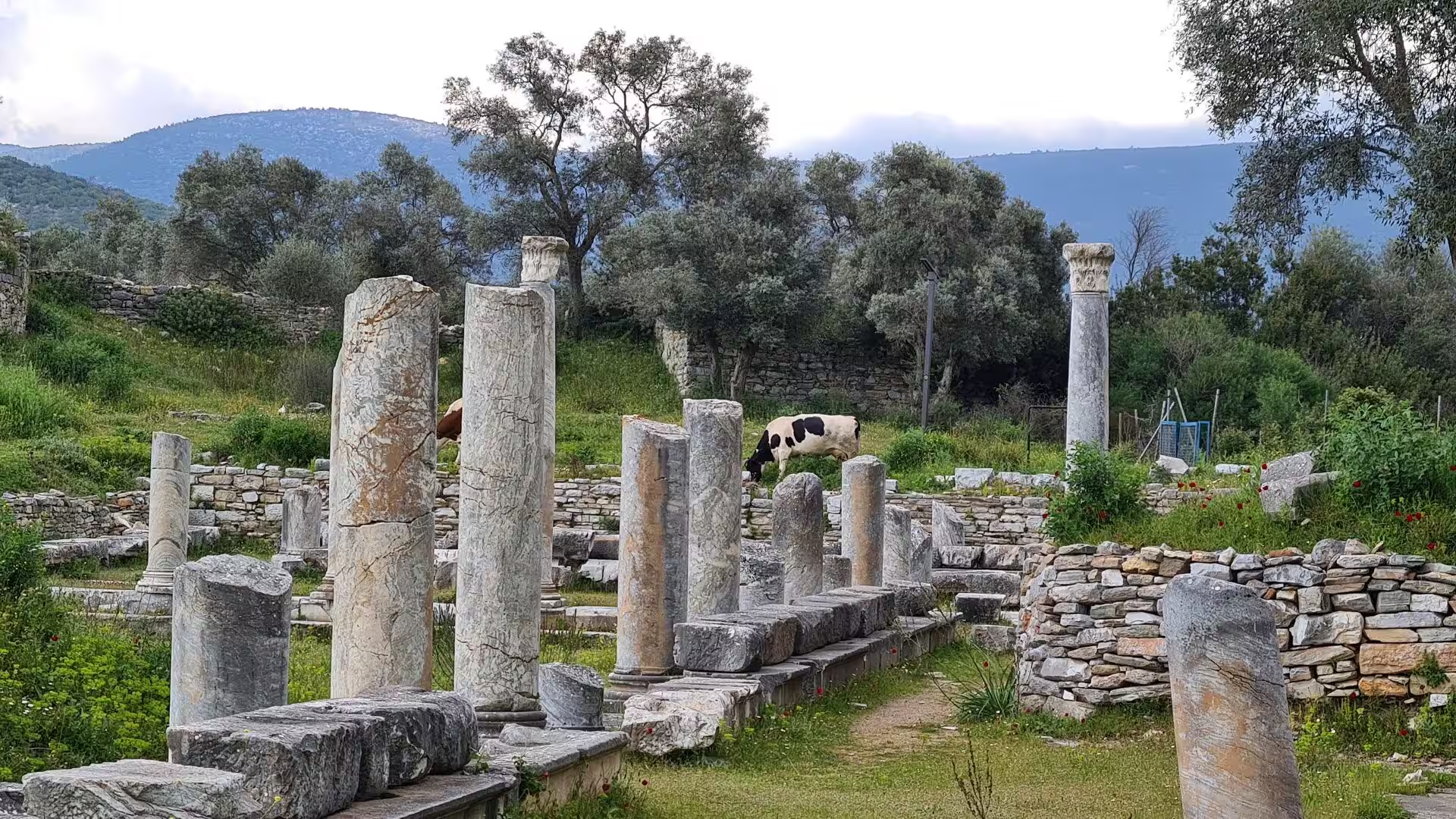
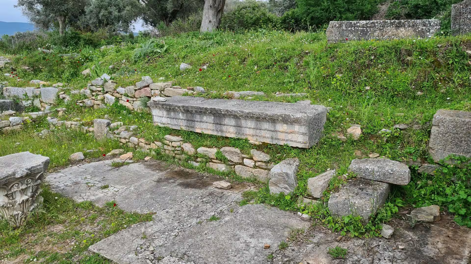
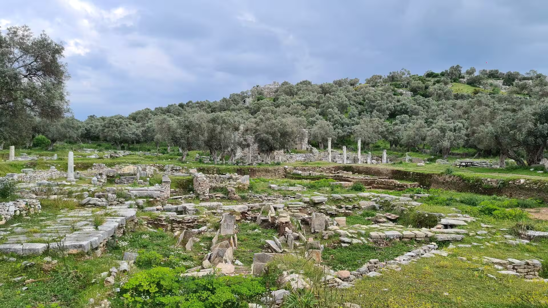
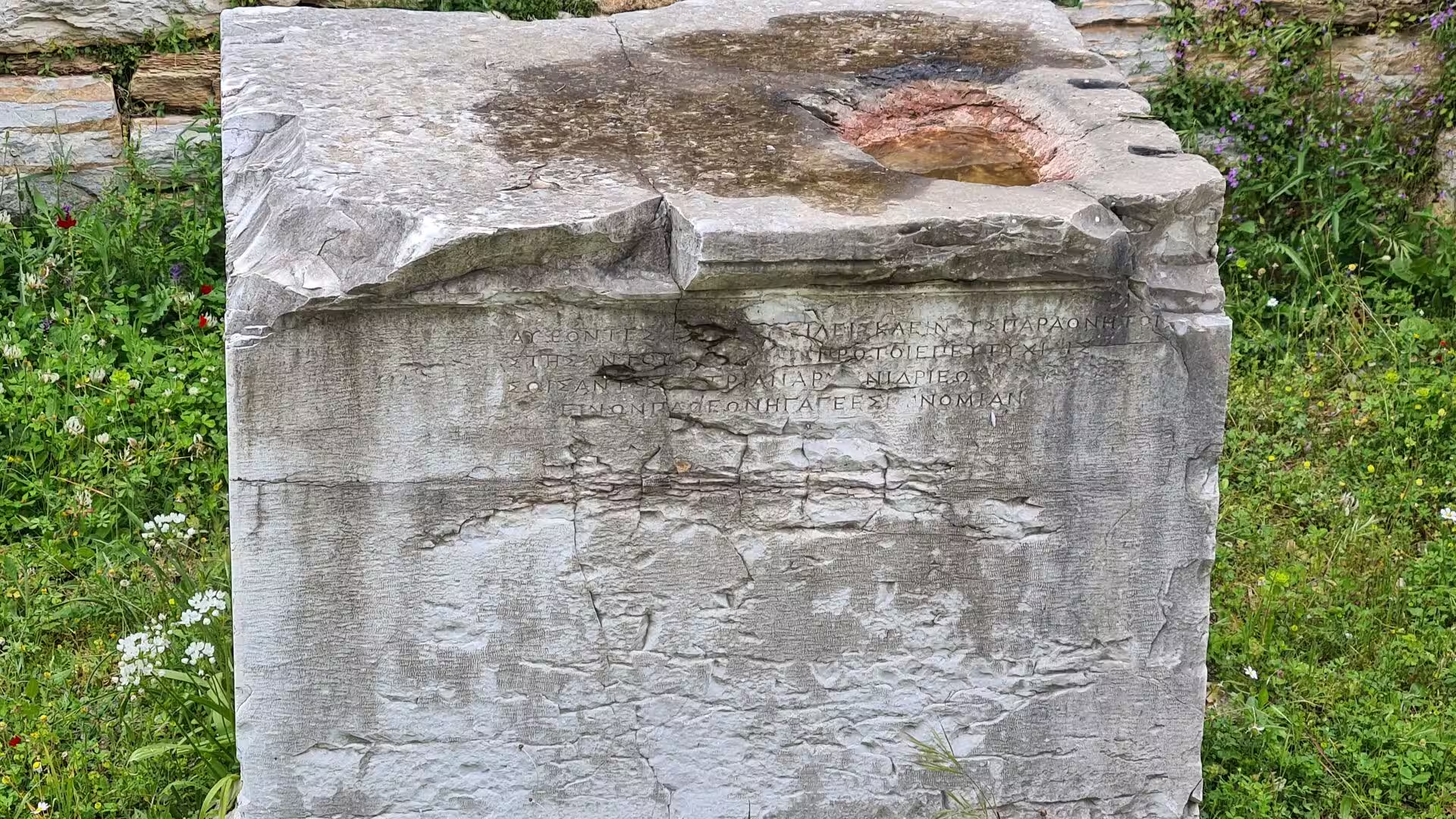
Stratonikeia, also written Stratonicea, is the largest archaeological site on the corridor between the two towns, lying at the village of Eskihisar on the road from Muğla towards Milas. Founded, according to Strabo, by the Seleucid king Antiochus I and named for his wife Stratonice, the city grew into the principal centre of inland Caria and lived on into the Byzantine centuries. The modern village has grown up inside the ancient town, so that lanes of old stone houses run among marble columns, and parts of the site are still pasture grazed by sheep and cattle. The excavations of recent decades have uncovered a broad colonnaded street about 8.7 metres wide, whose eastern portico was given mosaic floors in late antiquity, a monumental north gate of twin arches with a fountain house, a bouleuterion with semicircular seating, Roman baths and a gymnasium of about 105 by 267 metres, the largest known in the Greek world. The theatre, built in the Hellenistic period and remodelled in the early Roman empire, seated about 12,000 people. A museum in the village displays the finds: draped statues and portraits, altars carved with garlands and bull heads, reliefs, amphorae and many inscribed stones, several of which carry long Greek texts.
References
- Bean, George E. (1971). Turkey Beyond the Maeander: An Archaeological Guide. London: Ernest Benn.
- Fontenrose, Joseph (1988). Didyma: Apollo’s Oracle, Cult, and Companions. Berkeley: University of California Press.
- Hornblower, Simon (1982). Mausolus. Oxford: Clarendon Press.
- Parke, Herbert William (1985). The Oracles of Apollo in Asia Minor. London: Croom Helm.
- Mausoleum and Sacred Area of Hecatomnus. whc.unesco.org/en/tentativelists/5729/
- Caria. en.wikipedia.org/wiki/Caria
- Mausolus. en.wikipedia.org/wiki/Mausolus
- Milas. en.wikipedia.org/wiki/Milas
- Stratonicea (Caria). en.wikipedia.org/wiki/Stratonicea_(Caria)
- Didyma. en.wikipedia.org/wiki/Didyma
- Didim. en.wikipedia.org/wiki/Didim
- Kaunos. en.wikipedia.org/wiki/Kaunos
- Dalyan. en.wikipedia.org/wiki/Dalyan
- İztuzu Beach. en.wikipedia.org/wiki/İztuzu_Beach
- Lake Bafa. en.wikipedia.org/wiki/Lake_Bafa
- Büyük Menderes River. en.wikipedia.org/wiki/Büyük_Menderes_River