Day 8 - Antalya to Demre
22 July 2023

Journal Notes
General
The route from Antalya to Demre follows the south-western coast of Turkey, where the Western Taurus Mountains fall steeply to the Mediterranean. Antalya stands at the head of the wide bay that carries its name, on the eastern edge of a plain that in antiquity belonged to Pamphylia. West of the city the ground rises quickly: the road crosses forested foothills and mountain passes, descends again to the open, south-facing shore of the Teke Peninsula, and ends at Demre, on the fertile plain of the Demre River, in country that formed part of ancient Lycia; the frontier between the two regions falls within a short drive of the city.
Antalya is the largest city on the Turkish Mediterranean coast and the capital of Antalya Province, which has about 2.7 million inhabitants; the urban area itself, with roughly 1.5 million people, climbs the slopes above the bay in a long arc of hotels and modern quarters. The city is the centre of the so-called Turkish Riviera and the main gateway to the south coast: in 2023 the region recorded more than 16 million foreign arrivals, among the highest totals in the world. Its history reaches back to the second century BC, when King Attalus II of Pergamon founded a settlement named Attaleia after himself; Roman rule followed from 133 BC, when the last Pergamene king bequeathed his kingdom to Rome.
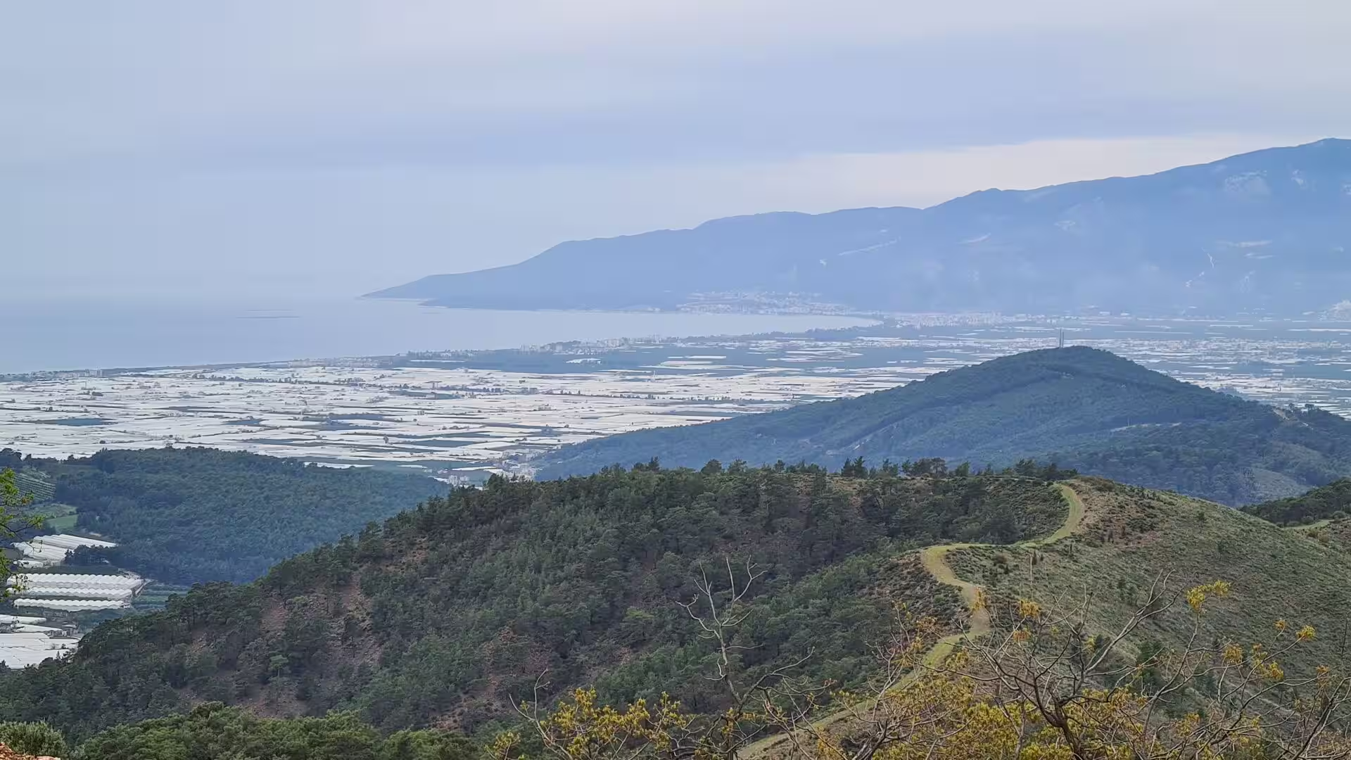
Demre, the goal of the route, is a quiet district capital of about 27,000 inhabitants, laid out on a low alluvial plain a few kilometres from the sea and framed by the mountains to the north. The modern settlement grew up beside the ancient city of Myra and long bore the name Kale, meaning castle; it was renamed Demre, after the river that crosses its plain, in 2005. The plain is largely given over to glasshouse agriculture: thousands of low plastic greenhouses, glinting white in the sun, produce tomatoes, peppers, aubergines and cucumbers through the mild winter, and Demre is one of Turkey’s principal greenhouse vegetable centres. Citrus groves and vegetable fields fill the remaining ground, and the Mediterranean climate, with hot, dry summers and mild, rainy winters, supports crops all year round.
Ancient Lycia, the region the road enters after Antalya, is a mountainous strip of south-western Anatolia lying roughly between the modern towns of Fethiye and Antalya. It faces the open Mediterranean on the south and is shut off from the interior by the Taurus chain, so its settlements, its history and its agriculture have always looked seaward. Today the Lycian coast west of Antalya is among the most visited stretches of Turkey, valued for its clear water, its pine-clad mountains and an exceptional density of ancient remains, while Demre itself remains a working agricultural town with a strong local identity rather than a resort.
History
Lycia enters written history under the name Lukka, a land known to the Hittites and to Egypt from the fourteenth century BC. Its people spoke a Luwian language and, from the fifth century BC, inscribed it on stone in an alphabet of their own. After the Persian conquest of 546 BC the country was ruled by local dynasts under Achaemenid suzerainty, a grip tightened by Mausolus of Caria in the fourth century BC; with the campaigns of Alexander the Great it passed into the Hellenistic world, contested by the Ptolemies and the Seleucids. In 188 BC Rome handed Lycia to Rhodes as a reward for help against Antiochus III and took it back in 168 BC, granting the Lycians their freedom. The Lycian League, a federation of about twenty-three cities whose assembly allotted each member one, two or three votes by size, governed the country until the Roman annexation; Strabo counts Myra, with Xanthos, Patara, Pinara, Olympos and Tlos, among the largest members, each holding three votes. The league’s weighted voting later impressed Montesquieu and the framers of the American constitution. In AD 43 the emperor Claudius dissolved the league, and from AD 74 Lycia and Pamphylia were governed as a single province under Vespasian.
By that time Myra was already an old and prosperous city. Its earliest monuments, the rock-cut tombs carved into the cliffs above the river plain, go back to the fifth century BC; more than a hundred chambers survive in two groups, the river necropolis and the sea necropolis, their facades imitating Lycian timber architecture and Greek temple fronts, and some keep traces of their original red, blue and yellow paint. The city’s wealth rested on a fertile plain watered by the river Myros and on the port of Andriake, about five kilometres to the south-west, which served the coastal trade and later the imperial grain fleet from Egypt to Rome; Saint Paul changed ships here on his voyage to Rome as a prisoner, as the Acts of the Apostles record. Under the empire Myra prospered: the theatre below the tombs, one of the largest in Lycia with room for about 10,000 spectators, was enlarged and adorned with carved masks and friezes, and the emperor Hadrian, who reigned between AD 117 and 138, built a monumental granary at Andriake whose inscription still names him. In the fourth century, when Lycia again became a province separate from Pamphylia, Myra was its capital and the seat of its metropolitan bishop.
Nicholas, the most famous of those bishops, was born about AD 270 at Patara, a Lycian port further west, and became bishop of Myra while still in his thirties. He was imprisoned in the persecution of Diocletian and, according to early lists, attended the first council of Nicaea in 325; he died on 6 December 343 and was buried in his see. The legends gathered around him, gold secretly given for the dowries of three poor sisters, storms calmed at sea, the wrongly condemned rescued, made him the patron of sailors, merchants and children, and the cult grew into the modern Santa Claus.
The centuries after Nicholas brought repeated crises: Arab raids from the seventh century devastated the coast, and Myra was sacked by an Abbasid army in 809. The church of Saint Nicholas was damaged in 808 and again in 1034, and restored in 1043 on the orders of Constantine IX. In 1087 merchants from the Italian city of Bari carried off most of the saint’s bones, which remain in Bari to this day. The Seljuks took Antalya in 1207, the Ottomans held the city from 1391, and the rest of the Lycian coast followed in the course of the fifteenth century. Myra, known by then under its Turkish name Kale, dwindled to a village while the Demre River slowly buried the ancient city: by the nineteenth century its streets, its agora and the lower tiers of its theatre lay beneath metres of alluvium, and the first travellers to study the ruins, Francis Beaufort in 1811 and 1812, Charles Fellows in 1838 and the surveyors Thomas Spratt and Edward Forbes in the 1840s, found a landscape of tombs and half-buried walls. The Greek Orthodox community, heirs of the congregation of Saint Nicholas, left in the population exchange of 1923. Excavation since then has cleared the theatre, and in 2021 a team from Akdeniz University announced the discovery near it of dozens of Hellenistic terracotta figurines, some still bearing traces of paint.
Geology
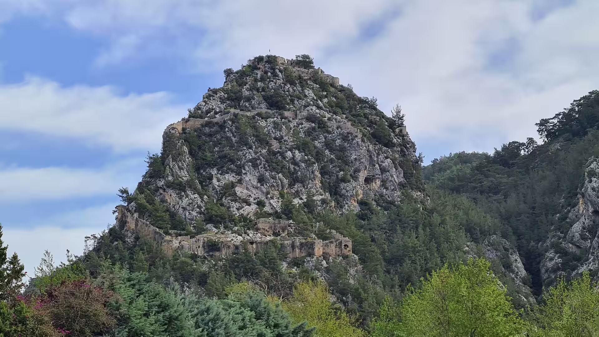
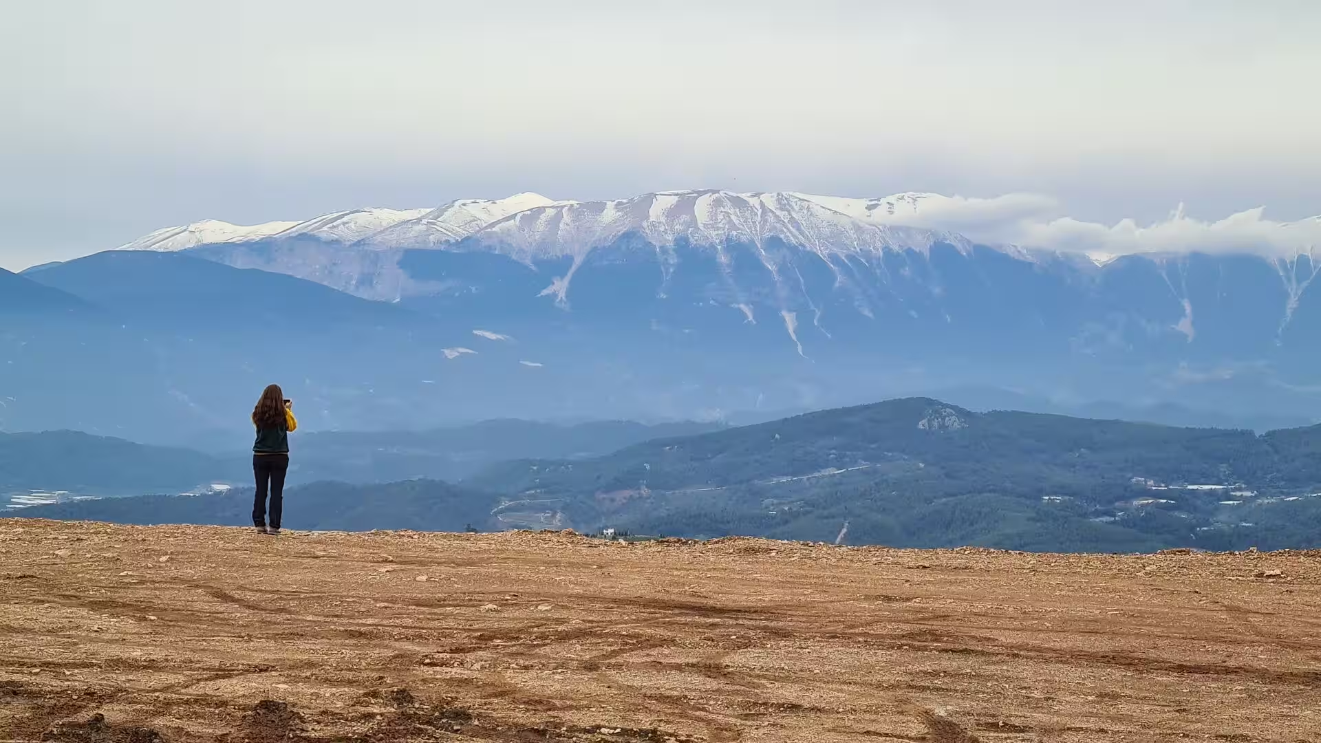
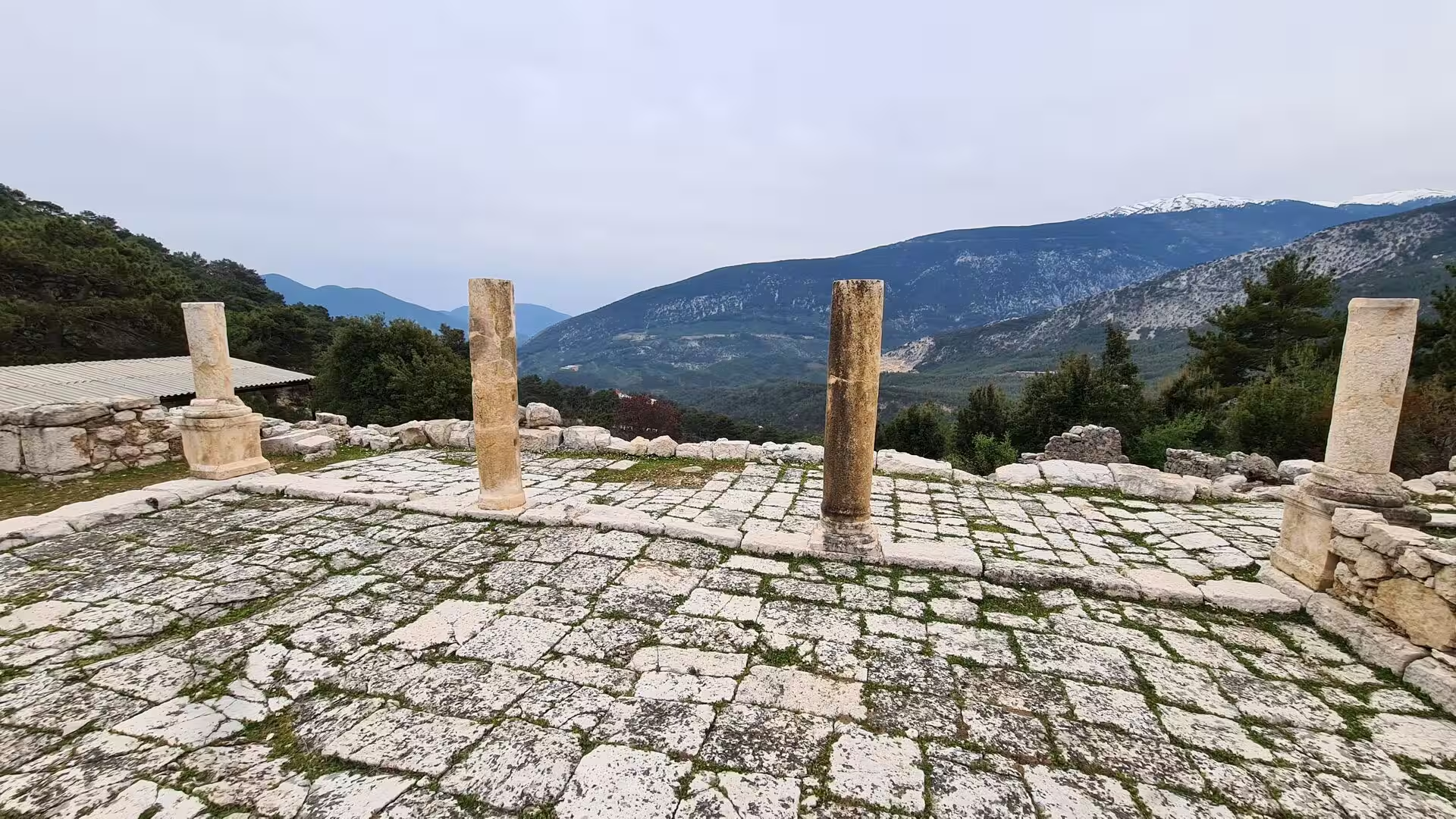
The landscape of the corridor is dominated by the Taurus, the great mountain chain of southern Turkey, which is part of the Alpine belt raised by the slow collision of the African and Eurasian plates. Around the Gulf of Antalya the chain bends into an arc, the Western Taurus, and its southernmost massif, the Bey Mountains, rises almost directly from the sea along the route west of Antalya. Several summits exceed 3,000 metres; Kizlar Sivrisi, at 3,086 metres, is the highest point of the Western Taurus, and snow lingers on those ridges until late spring; the lower slopes carry Turkish pine and maquis, giving way above about 1,200 metres to black pine, Lebanon cedar and juniper forest.
The bedrock is overwhelmingly limestone, and in the Taurus this thick, jointed rock has produced some of the finest karst country of the Mediterranean: large caves, underground rivers, sinkholes and closed basins. The cave of Karain, on the hillside north-west of Antalya, was inhabited from the Palaeolithic Age onward, and its finds form the core of the prehistory gallery of the Antalya Museum. Drainage in such terrain is largely subterranean: streams vanish into sinkholes and reappear in springs lower down, and in places whole rivers emerge at the coast.
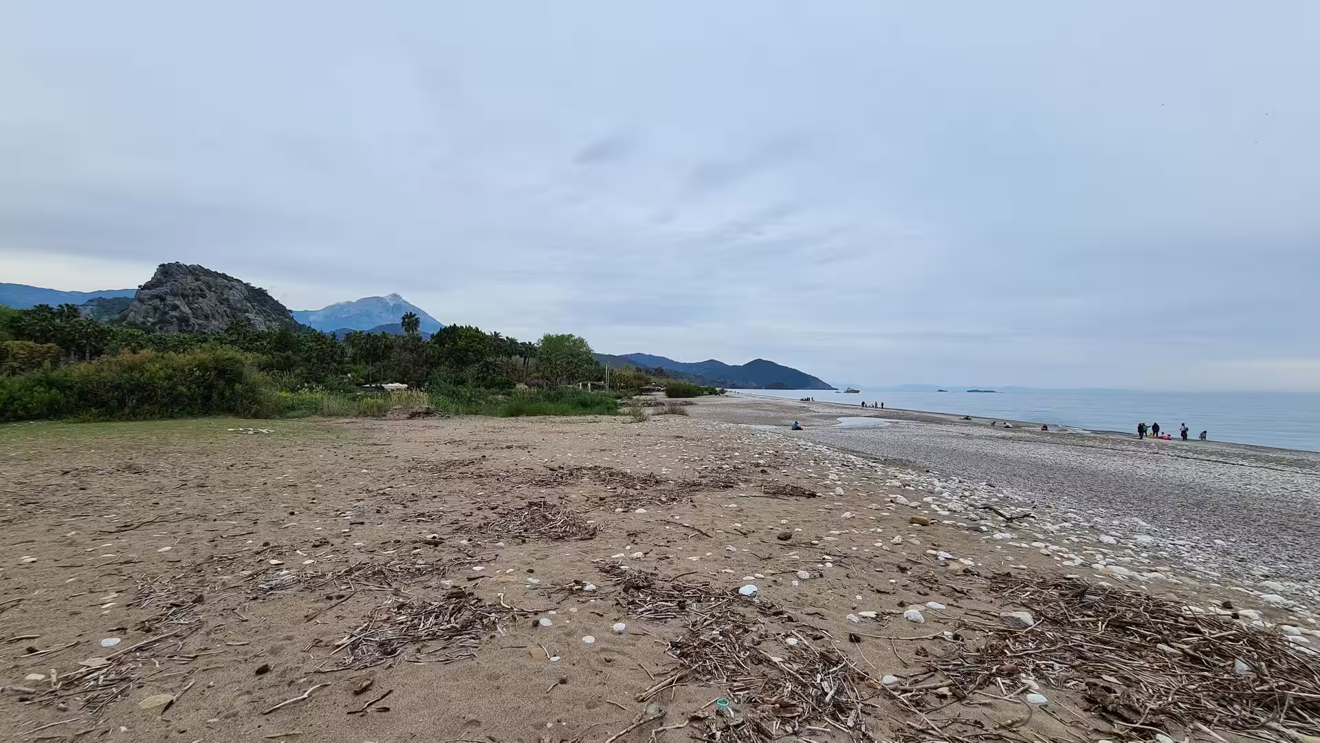
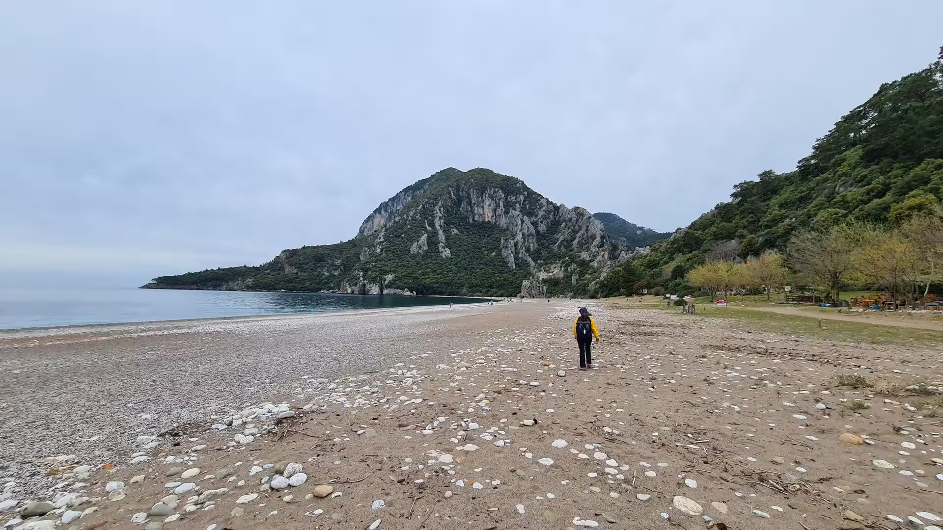
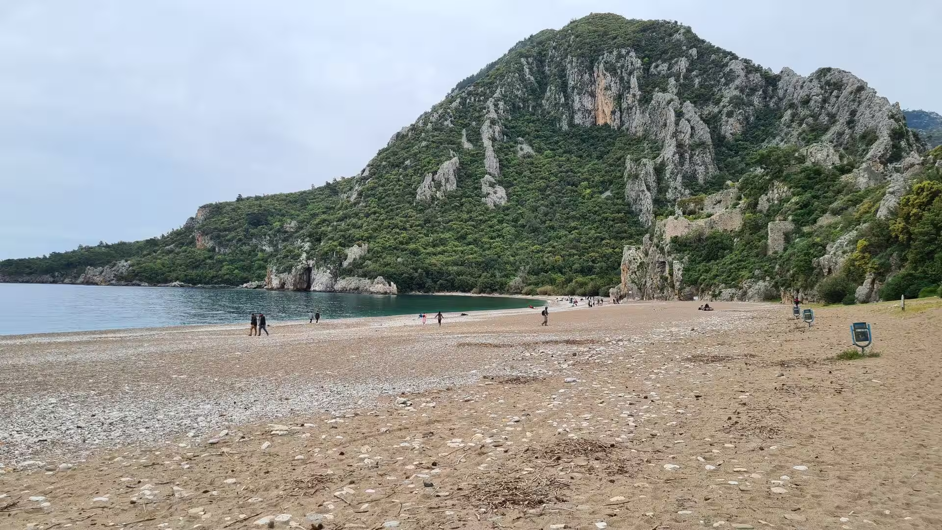
Where the ranges reach the water the coast is rocky, with cliffs, headlands and small bays, and the rivers that break through to the plain are short and steep, carrying coarse loads of limestone gravel that the sea grinds into smooth pebbles; sand is comparatively scarce, so even the widest beaches, including those of the Demre district, are shingle and grit. The same rivers have built the coastal plains: the plain of Demre is the delta built by the Demre River, the ancient Myros. Alluviation has shaped the human story of the region as much as its scenery, for the sediment laid down since antiquity buried the lower city of Myra, raised the ground around the church of Saint Nicholas and choked the harbour of Andriake into marshland.
The coast is also tectonically restless. Southern Turkey lies close to the boundary where the African plate descends beneath Anatolia, and the region has repeatedly been shaken by strong earthquakes; ancient shocks, between the second and fourth centuries AD, damaged the monuments of Myra and of other Lycian cities, and parts of the shore have since sunk relative to the sea, drowning harbour works, while other stretches rose. Climate completes the picture: a Mediterranean regime of hot, dry summers and mild, rainy winters, with sunshine on more than 300 days of the year on the low plains. Because the mountains trap the moisture of the sea winds, the coast around Antalya receives some of the heaviest winter rainfall in Turkey, and those mild, wet winters on fertile calcareous soils are what allow the glasshouse fields of the Demre plain to produce vegetables all year round.
Things to See
Antalya is best entered through its old quarter, Kaleiçi, the walled core of the Hellenistic and medieval city on the headland above the old harbour, whose narrow lanes of restored Ottoman houses and small museums open onto the yachts in the basin below the cliffs. At the eastern edge of the quarter stands Hadrian’s Gate, a handsome triple arch of white marble raised in AD 130, when the emperor visited the city, and one of the best-preserved Roman gateways of Turkey. A little west of the centre, the Antalya Museum, founded in 1922 and in its present building since 1972, holds the finest collection of the region: halls of Roman statuary from Perge, among them portraits of emperors and of the great citizen benefactor Plancia Magna; a mosaic hall with Byzantine pavements from Xanthos; sarcophagi from Pamphylia; and a hall of church treasures in which relics and objects associated with Saint Nicholas are displayed. Its galleries, from the Palaeolithic finds of Karain to Ottoman carpets, make a natural introduction to the whole region.
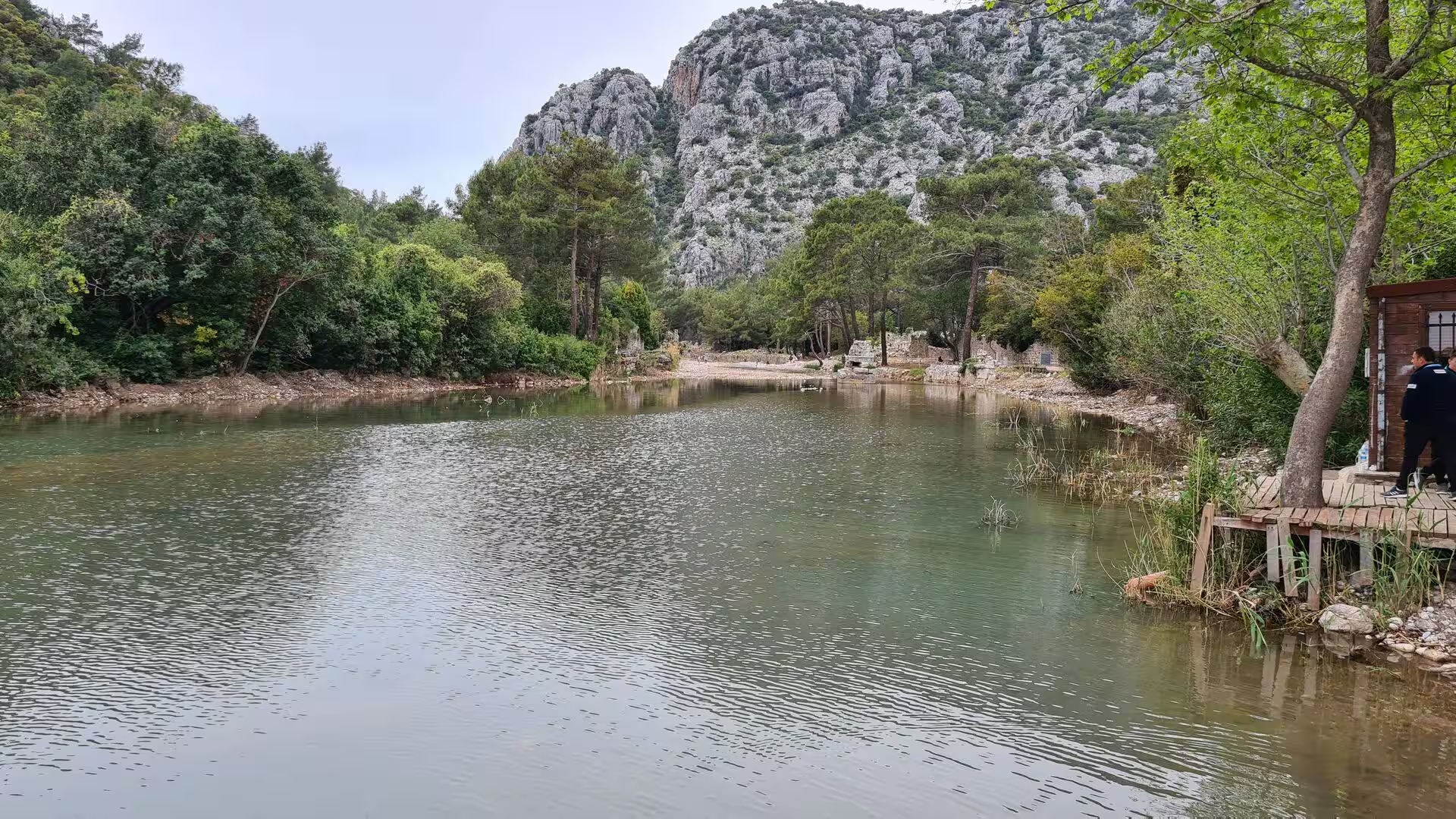
West of the city the coast road offers little of the high-rise resort life of the eastern bay. It passes instead long beaches of smooth grey pebbles washed by clear, often very calm water, with forested cliffs rising directly behind them and driftwood lying above the tideline; timber walkways reach out over the still water of the smaller coves, and in the warm season the shore is dotted with walkers and swimmers. Inland, tracks climb through pine and maquis to viewpoints over the white roofs of the greenhouse plains and the snow-streaked Taurus.
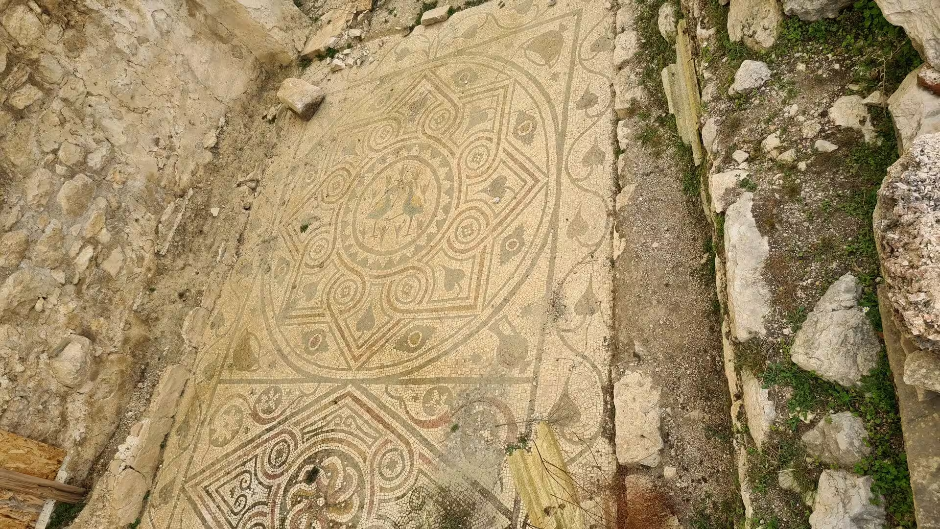
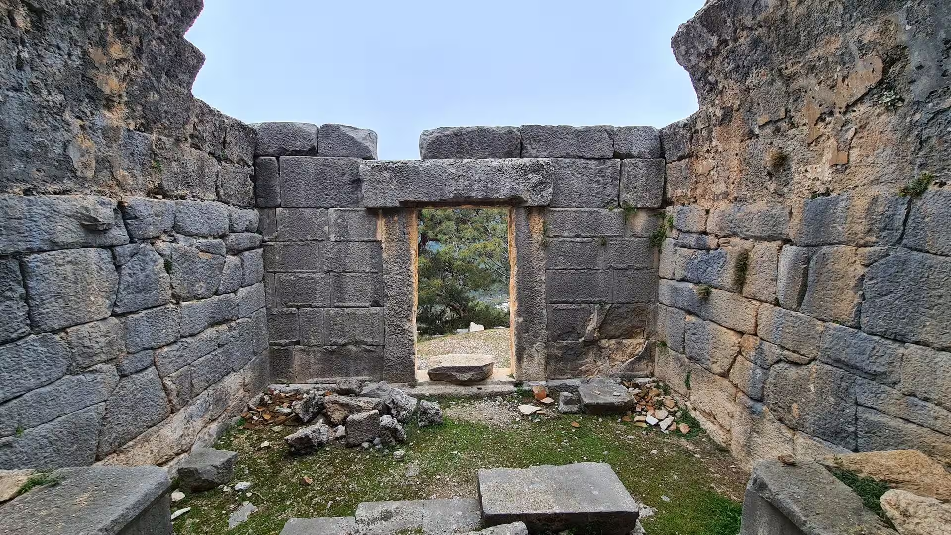
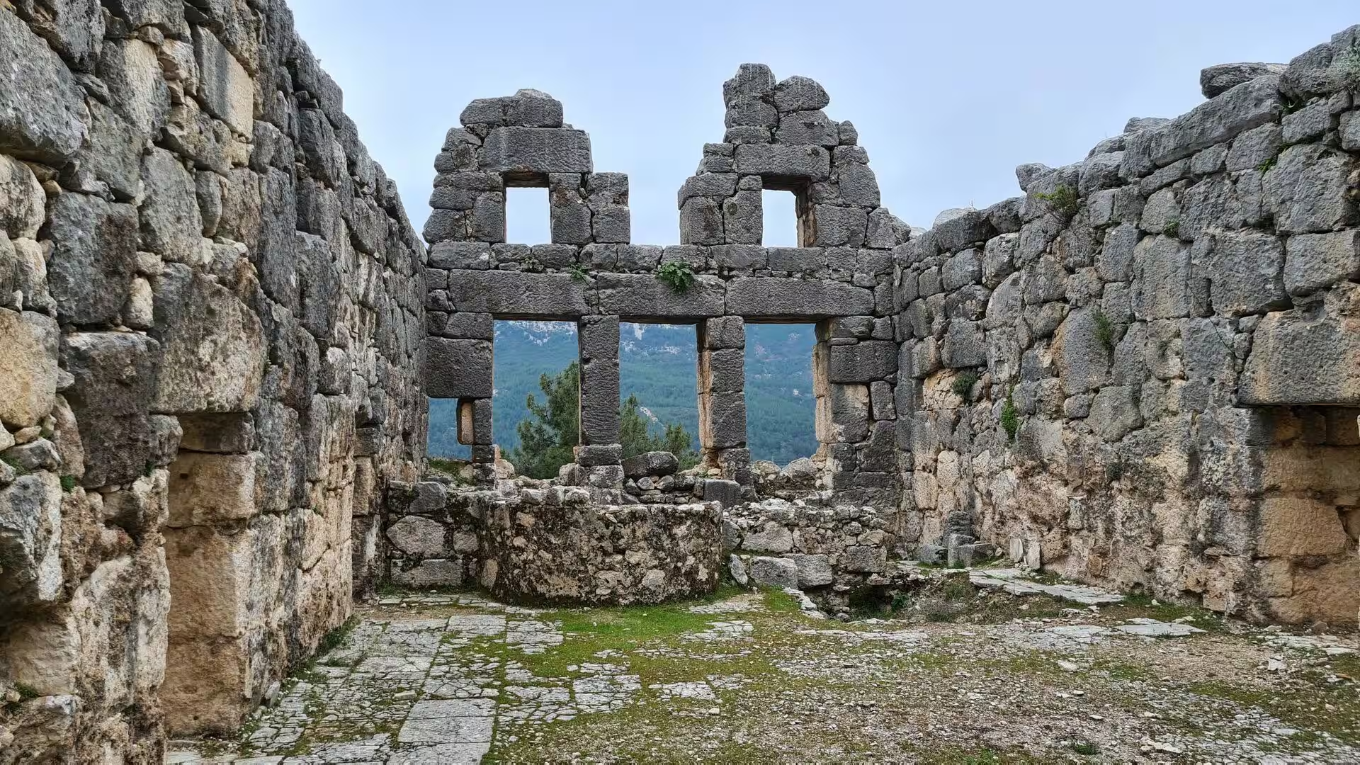
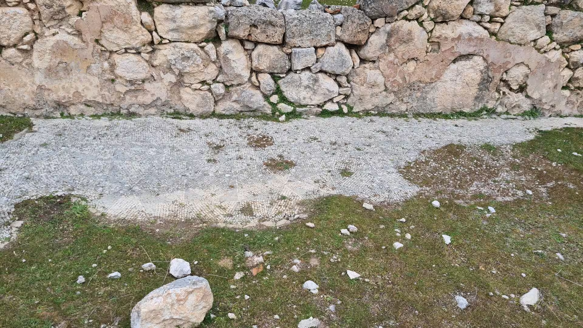
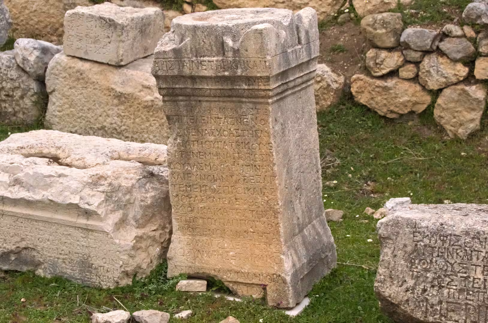
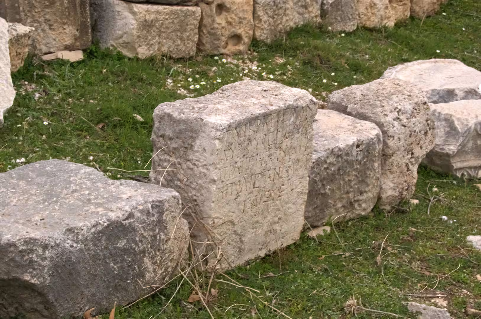
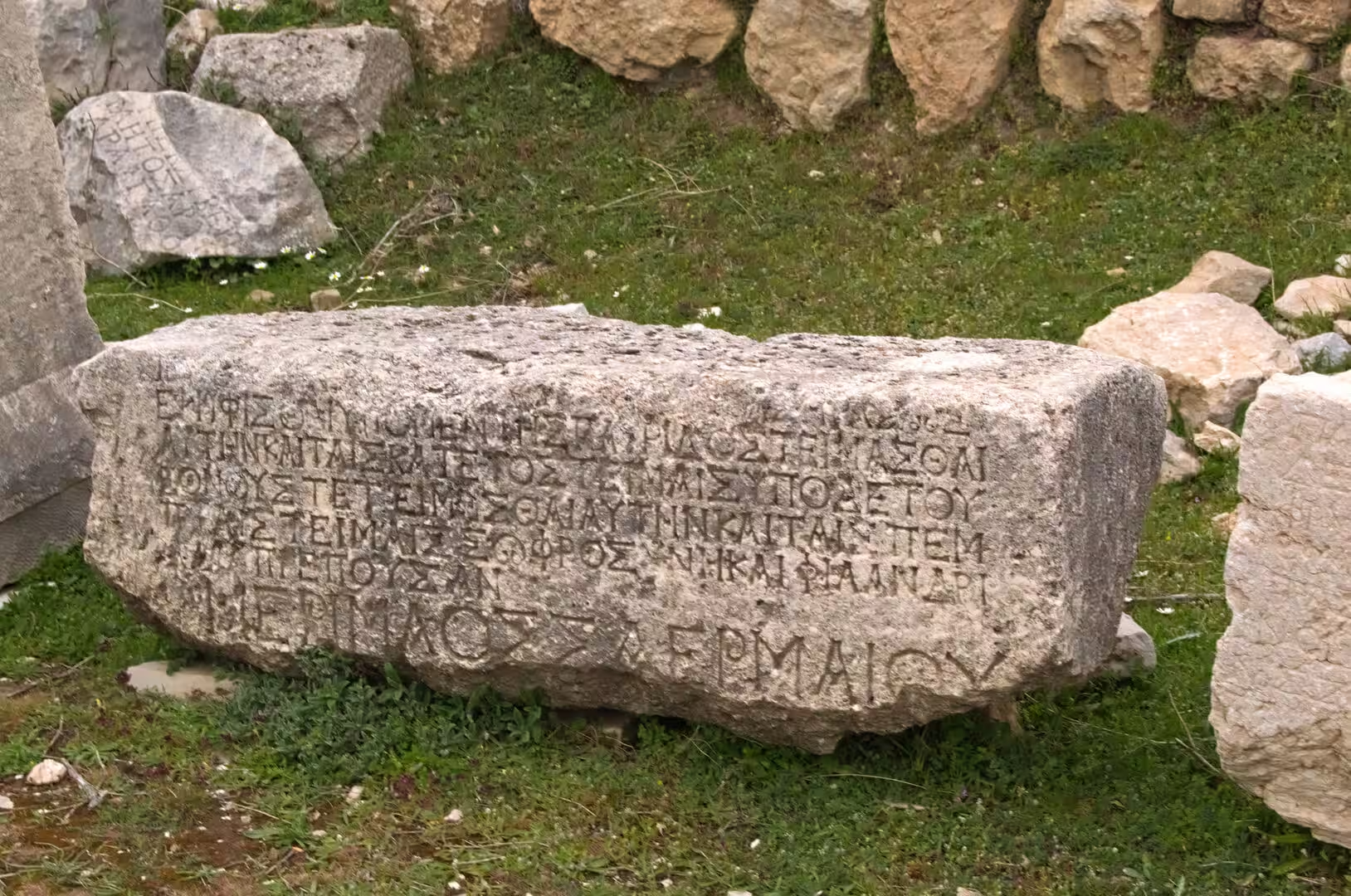
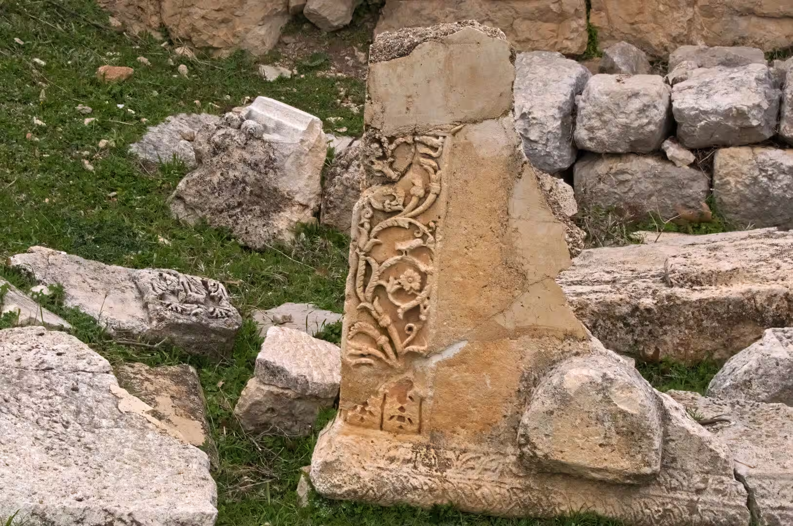
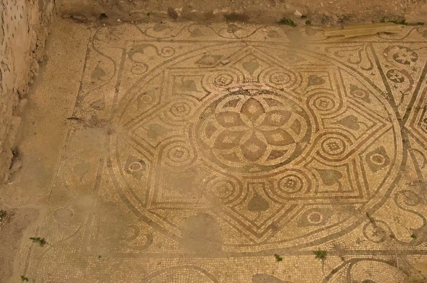
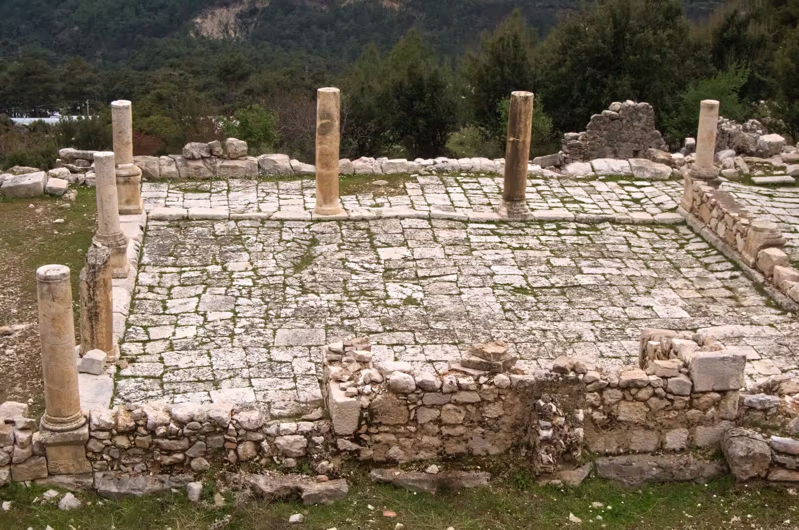
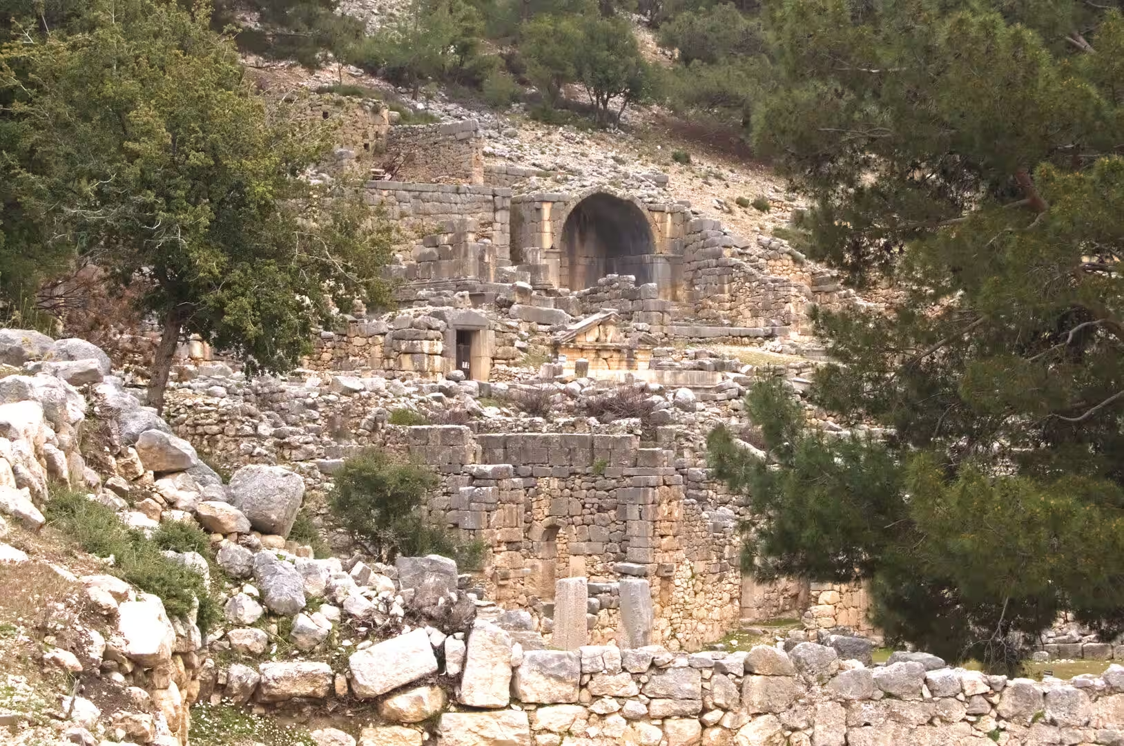
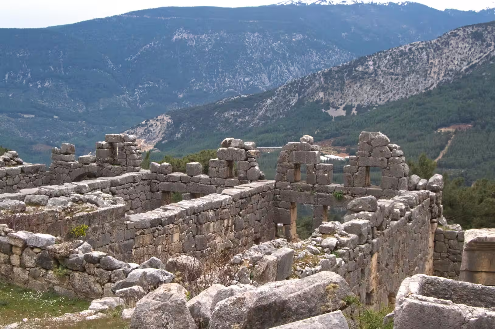
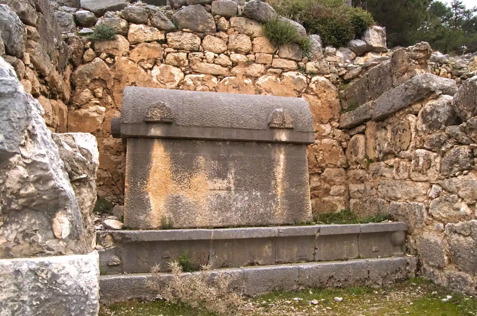
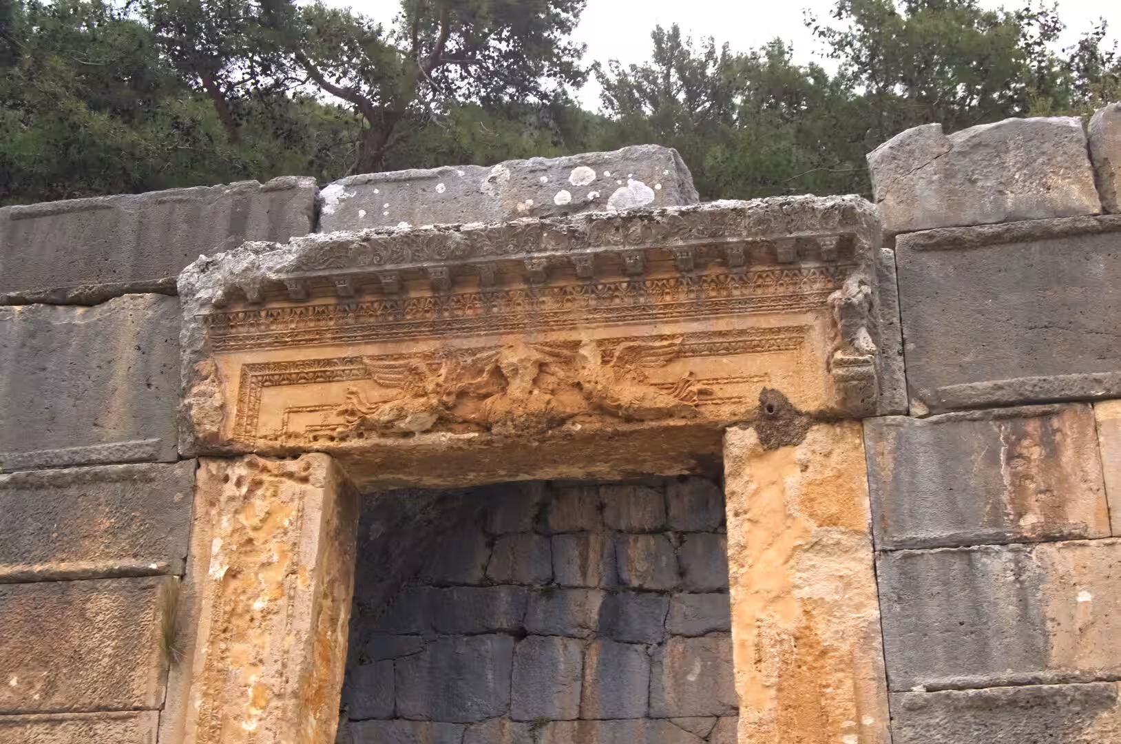
Myra, the ancient city beside Demre, is dominated by its necropolis. Rock-cut tombs rise in tiers across the cliff face above the plain, their facades carved as temple fronts and as copies of the timber houses of Lycia, some still tinted with the red, blue and yellow of their original paint. Below the tombs the theatre, one of the largest in Lycia with room for about 10,000 spectators, is cut into the hillside, its stage building decorated with rows of carved theatrical masks; long buried in river silt, the lower seats have been cleared again by excavation. Inscribed blocks, mosaic floors and the freestanding stone sarcophagi with ridged lids that are so characteristic of Lycia lie scattered over the surrounding ground. Five kilometres to the south-west, Andriake, the port of Myra, preserves the great seven-room granary raised for the emperor Hadrian, together with the ruins of an agora, a synagogue and great heaps of murex shells that testify to the production of purple dye; the restored granary now houses the Museum of Lycian Civilisations.
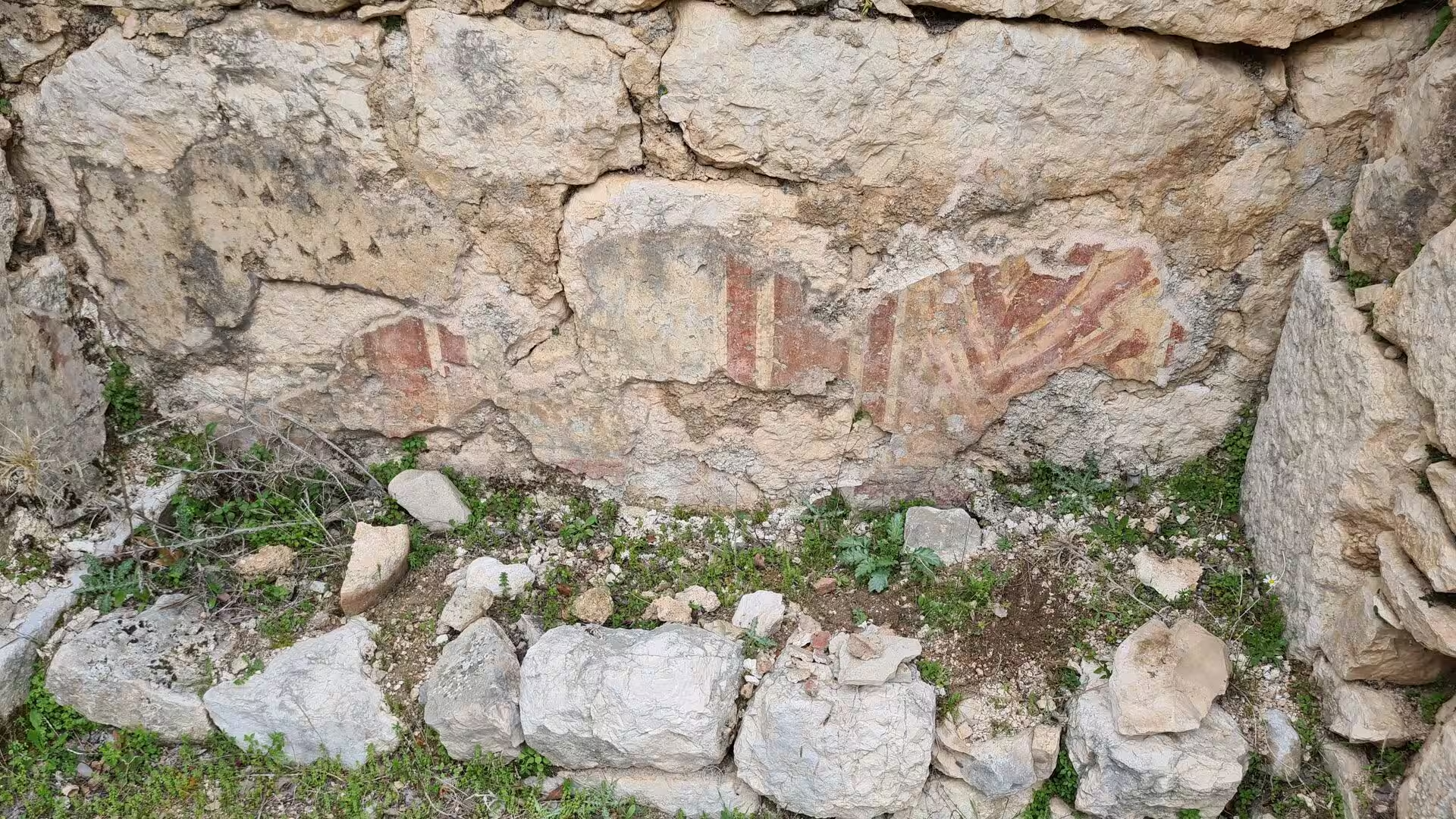
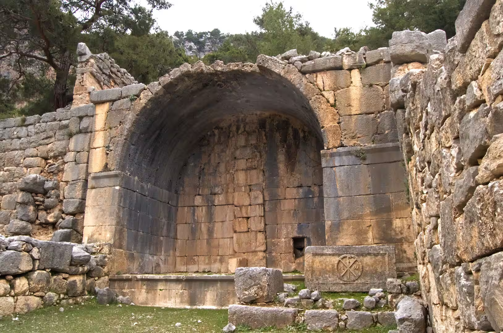
Demre town is dominated by the church of Saint Nicholas, the Byzantine basilica raised over the grave of the sainted bishop and rebuilt over the centuries: it grew from a sixth-century church and took most of its present form from the eighth century onward, when an Orthodox monastery was added in the late eleventh century. Because the plain has risen, the church now lies below the level of the surrounding streets, and its excavated interior preserves a floor of opus sectile, a mosaic of coloured marble, along with remains of frescoes and the marble sarcophagus from which the saint’s bones were taken in 1087; the relics rest today in Bari, and the church itself, abandoned when its Greek congregation left in the 1920s, is now a museum. Turkish permission for the Orthodox liturgy here was granted in 2007, and since 2011 a service has been held on the saint’s feast day, 6 December, which draws pilgrims from around the world. The church has stood on Turkey’s tentative list for UNESCO World Heritage status since 2000.
References
- Bean, George E. (1978). Lycian Turkey: An Archaeological Guide. London: Ernest Benn.
- Jones, Charles W. (1978). Saint Nicholas of Myra, Bari, and Manhattan: Biography of a Legend. Chicago: University of Chicago Press.
- Keen, Antony G. (1998). Dynastic Lycia: A Political History of the Lycians and Their Relations with Foreign Powers, c. 545-362 B.C. Leiden: Brill.
- St. Nicholas Church. whc.unesco.org/en/tentativelists/1399
- Antalya. en.wikipedia.org/wiki/Antalya
- Antalya Museum. en.wikipedia.org/wiki/Antalya_Museum
- Andriake. en.wikipedia.org/wiki/Andriake
- Demre. en.wikipedia.org/wiki/Demre
- Karain. en.wikipedia.org/wiki/Karain
- Lycia. en.wikipedia.org/wiki/Lycia
- Lycia et Pamphylia. en.wikipedia.org/wiki/Lycia_et_Pamphylia
- Myra. en.wikipedia.org/wiki/Myra
- Saint Nicholas. en.wikipedia.org/wiki/Saint_Nicholas
- St. Nicholas Church, Demre. en.wikipedia.org/wiki/St._Nicholas_Church,_Demre
- Taurus Mountains. en.wikipedia.org/wiki/Taurus_Mountains
- Teke Peninsula. en.wikipedia.org/wiki/Teke_Peninsula