Stage 12 of 19
Day 13 - Assuan







Journal Notes
General
Aswan, the southernmost city of Egypt, lies on the east bank of the Nile immediately north of the First Cataract, roughly a thousand kilometres up-river from Cairo, and is the capital of the governorate that bears its name. With about 370,000 inhabitants (2024), it is among the oldest continuously inhabited places of the Nile valley; its recorded history spans more than 2,600 years, its riverine core on Elephantine occupied since c. 3000 BC. In antiquity it was Swenet, the Syene of the Greeks and Romans: for most of pharaonic history the southern frontier town of Egypt, where the country was conceived to “open” towards the sources of the Nile.
The First Cataract, the northernmost of the Nile’s six great rapids and the only one within Egypt, was the natural boundary between Egypt and Nubia: a belt of granite islands and boulder-strewn channels where boats from the south unloaded before the open river northwards. Aswan was a garrison town, a customs post and a market under every dynasty, and its quarries, the source of the coarse pink granite long called syenite after the ancient name of the city, furnished obelisks, colossi and monolithic shrines throughout the country, from the pyramids of the Old Kingdom to Karnak. Elephantine, the island opposite the town, guarded the frontier as seat of the first nome of Upper Egypt, Ta-Seti, the “land of the bow”.
Modern Aswan is a provincial capital, market town and winter resort whose economy rests on tourism, agriculture and the still-active working of stone. Its corniche, with its moored cruise ships, feluccas and west-bank ferries, is the southern terminus of Nile cruising; behind it lie the covered market streets. The city’s monuments include the Nubian Museum (the International Museum of Nubia, opened in 1997 after the UNESCO rescue campaign), the open-air museum of the ancient quarries with the Unfinished Obelisk, and the botanical island of El Nabatat (formerly Kitchener’s Island), whose gardens descend from trees planted by Lord Kitchener during his consulate-general.
Climatically Aswan is one of the hottest, driest and sunniest cities on earth (BWh after Köppen): in some years no rain falls at all, mean humidity is about 26 per cent and sunshine approaches 4,000 hours a year, conditions that preserve its monuments in dry desert air. Five of the property’s ten components lie in the Aswan area: Qubbet el-Hawa, Elephantine, the quarries with the Unfinished Obelisk, the Monastery of St Simeon and the Fatimid cemetery. Aswan is thus a living provincial capital and an archaeological district in its own right.
History
The history of Aswan is the history of Egypt’s southern gate. From the First Dynasty (c. 3000 BC) Elephantine carried a fortress on the border with Nubia; the island’s temple of the goddess Satet, founded about the same time, was rebuilt over three millennia, and a temple of the ram-headed Khnum, lord of the cataract, is attested by the Third Dynasty. The officials of the frontier nome Ta-Seti, buried in the rock tombs of Qubbet el-Hawa on the west bank, led the expeditions that brought ivory, ebony, incense and gold down the river; the most celebrated, the Sixth-Dynasty Harkhuf, recorded in the autobiography of his tomb four journeys into the south, returning from the last for the child-king Pepi II with a dancing dwarf of the land of Yam.
The town of Swenet stood on the east bank below the cataract; its name was explained in antiquity from an Egyptian goddess of childbirth, “the opener”, or from the word for trade and market, apt terms for a frontier entrepôt that levied tolls on the boats of the river. In the Middle Kingdom the region rose to dynastic importance, for the mother of Amenemhat I, founder of the Twelfth Dynasty, came from the Elephantine nome (many scholars argue a Nubian origin); the New Kingdom pharaohs embellished the temples of the island and drew on the Syene quarries for their obelisks. In the fifth century BC Elephantine also housed a garrison of Judean mercenaries whose Aramaic archive, the Elephantine papyri, records a temple of Yahweh beside that of Khnum until its destruction in 410 BC.
In Graeco-Roman times Syene was the province’s southernmost garrison city and a bishopric from about AD 330. Because the town was believed to lie exactly beneath the Tropic of Cancer, where a vertical staff casts almost no shadow at the summer solstice, Eratosthenes of Cyrene combined observations made there with the shadow measured at Alexandria to compute the circumference of the Earth about 240 BC; Strabo, Pliny and Ptolemy describe the town and its stone. To the south the island sanctuary of Philae grew under the Ptolemies into the foremost cult centre of Isis in southern Egypt, attended by pilgrims from the Greek world and embassies of Meroe; the last dated hieroglyphic inscription in the world was cut there in AD 394, the last demotic text in 452, and the temple was closed by order of Justinian about AD 537, conventionally the end of the ancient Egyptian religion.
Under Islamic rule Aswan remained the frontier town towards Nubia and a station of the caravan trade; the Fatimid cemetery on the eastern desert edge and the Monastery of St Simeon across the river survive from its medieval centuries. In the nineteenth century the town became a famous winter station of the Nile travellers, and after the British occupation of 1882 the first dam across the Nile was built at the First Cataract: the Aswan Low Dam of 1898-1902, designed under Sir William Willcocks and the largest masonry dam in the world when opened in December 1902. Raised in 1907-12 and again in 1929-33, it drowned much of the old cataract and left the temples of Philae submerged for most of every year.
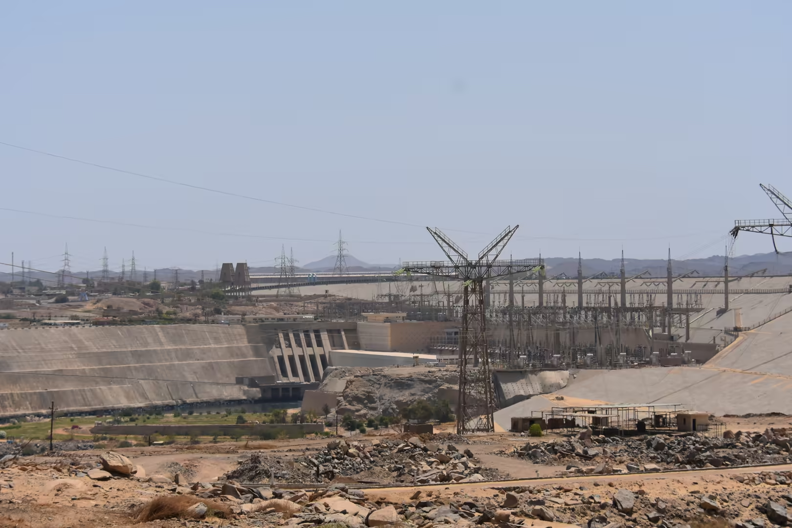
After the 1952 revolution Egypt resolved to control the Nile completely, and when American and British financing was withdrawn in 1956 the Soviet Union assumed the project. The High Dam, designed by Nikolai Malyshev of the Moscow Hydroproject Institute, was built in 1960-1970 by some 25,000 Egyptian engineers and workers and completed on 21 July 1970, its reservoir filling from 1964 to 1976. The dam ended the natural flood, storing water for perennial irrigation and generating 2.1 GW, but its lake drowned Egyptian Nubia: 100,000-120,000 people were resettled, in Sudan and in the planned villages of “New Nubia” near Kom Ombo. UNESCO’s campaign to save the monuments of Nubia (1960-1980) moved twenty-two monuments to safety, among them Abu Simbel and Philae re-erected on the island of Agilkia, and granted four temples to the aiding states; in 1979 the survivors were inscribed as the World Heritage property “Nubian Monuments from Abu Simbel to Philae”.
Geology
The geological personality of Aswan is written in granite. The town stands on the Precambrian crystalline basement of the Arabian-Nubian Shield, where the Syene granite (a coarse, pink to reddish granitoid of the Pan-African orogeny, of the order of 600 million years old) crops out on both banks of the river. In antiquity the stone gave its name to “syenite”, first applied to the hornblende granite of Syene, though strictly the Aswan rock is a granite, and true syenite, its quartz-poor relative, is rare here. Quarried from the Old Kingdom onwards, it furnished obelisks, colossal statues, shrines and sarcophagi throughout Egypt, and the traces of the ancient quarrymen (cuttings, tool marks and ochre setting-out lines) remain visible in the native rock after three thousand years.
Why the river breaks into rapids at Aswan is a question of the deep structure of the Nile. North of the town the river flows through a trough filled with sediment, the fill of an ancient canyon cut into the bedrock and since buried; from Aswan southwards to Khartoum, by contrast, it crosses the hard, still-uplifting rocks of the Nubian swell, which keep the bed shallow and rocky, in the reach geologists call the Cataract Nile. The First Cataract, where the river leaves the sedimentary trough and grinds across the granite barrier, is a belt of rapids, boulders and rocky islets (Elephantine, Sehel, Agilkia and the original Philae among them) and the only one of the six cataracts within Egypt; its islands, granite hills and drifts of sand are where desert and river meet on both shores.
The ancient quarries and the Unfinished Obelisk expose the engineering of the stone. Still attached to the bedrock at its foot, the obelisk is the largest known monument of its kind: about 41.75 metres long, it would have weighed nearly 1,090 tonnes and stood almost a third taller than any obelisk ever erected, and it was probably commissioned under Hatshepsut. The workmen cut deep trenches around the monolith and worked away the rock beneath, but a crack in the granite (natural or induced) made them abandon the whole, a lesson in the jointing of the coarse rock. Studied by Reginald Engelbach in 1922, the quarry preserves the full ancient technique of extraction; the pink colour of the stone comes from its potash feldspar, its capacity for polish from the even grain.
The two dams are exercises in engineering geology. The Low Dam of 1898-1902, a masonry gravity-buttress structure faced with red ashlar granite, was built where the river narrows between firm granite banks at the cataract; six kilometres upstream the High Dam, a rock-fill embankment 111 metres high and 3,830 metres long containing some 43 million cubic metres of material, with an impermeable clay core and deep grout curtain, closes the valley on the same sound rock. Lake Nasser extends some 500 kilometres southwards over the drowned cataracts of Lower Nubia (about 5,250 square kilometres and 132 cubic kilometres of storage), losing between 10 and 16 cubic kilometres a year to evaporation. The lake now traps the silt that the flood once spread over the fields, so that the valley depends on artificial fertilisers while the delta, starved of sediment, erodes; even the most conservative estimates allow the dam a working life of at least two centuries.
Things to See
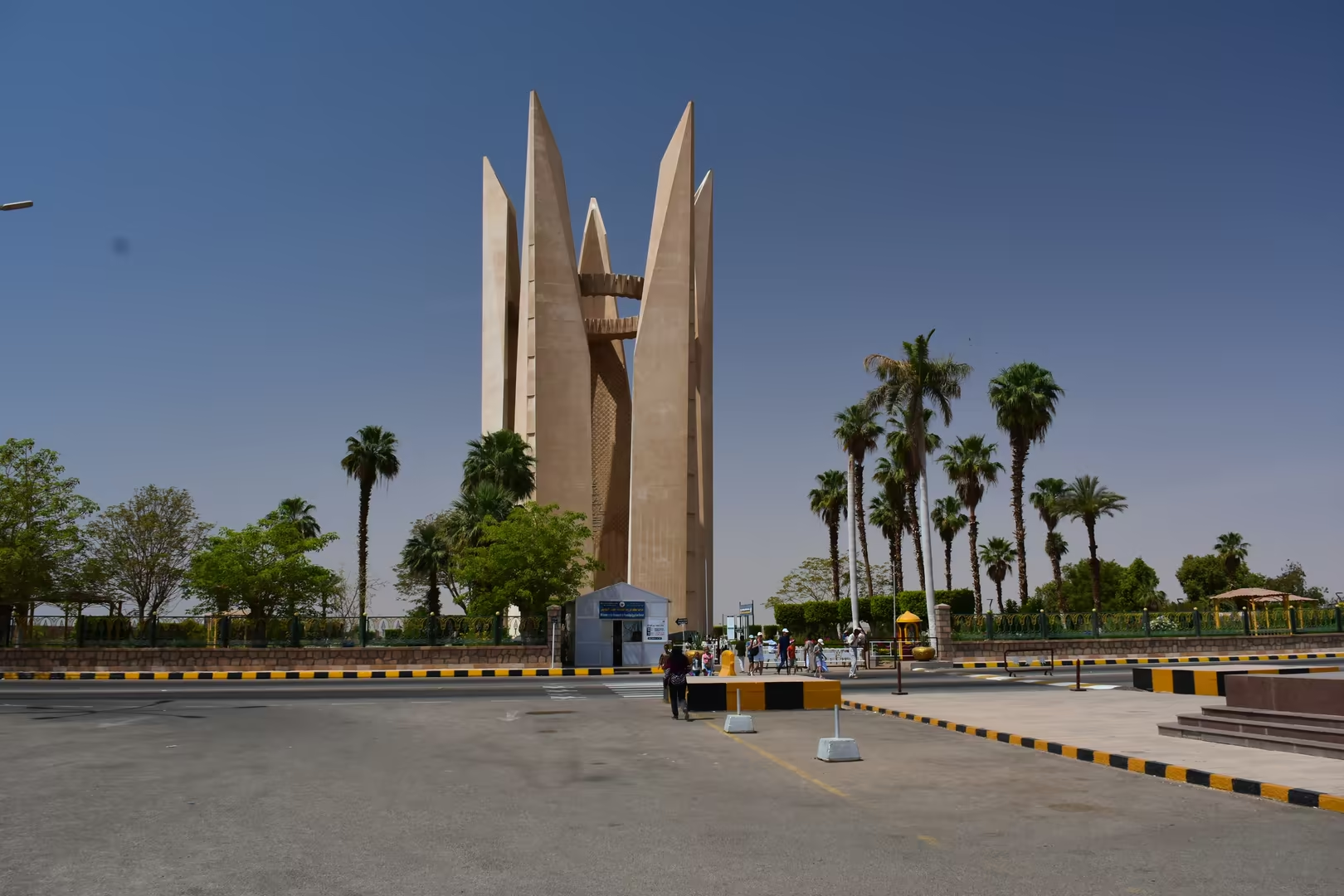
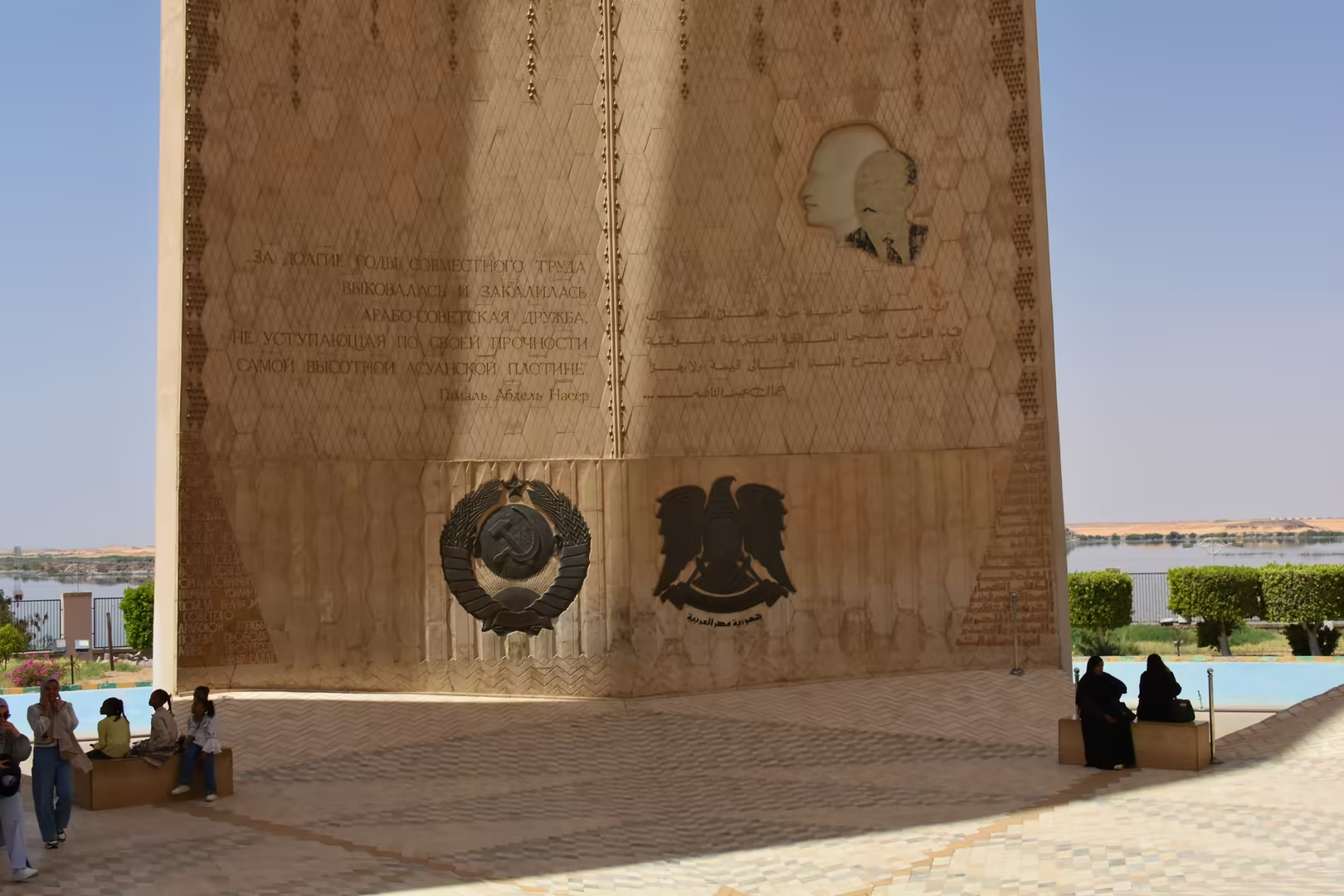
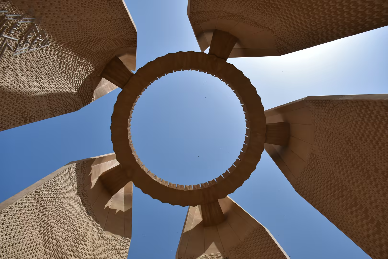
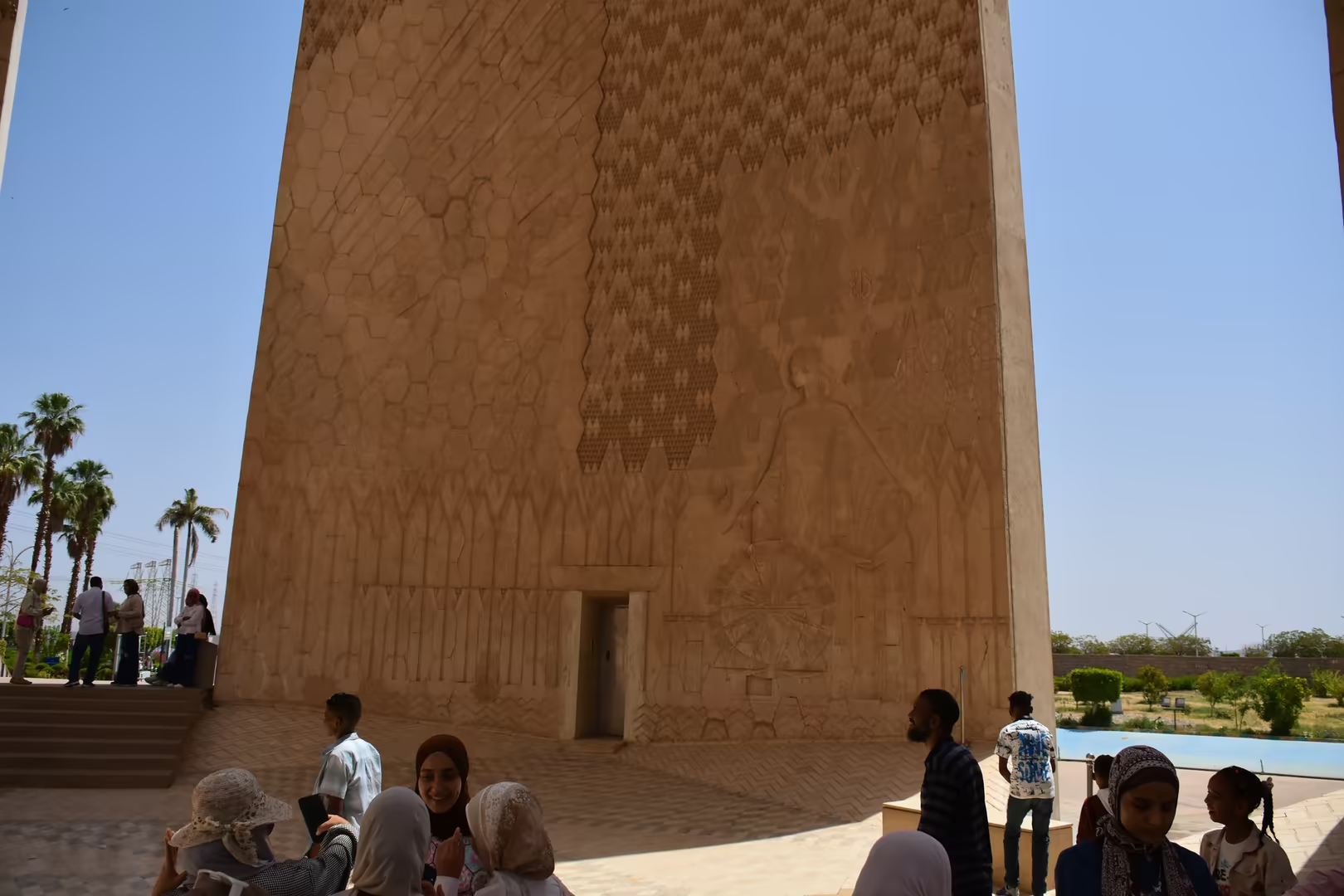
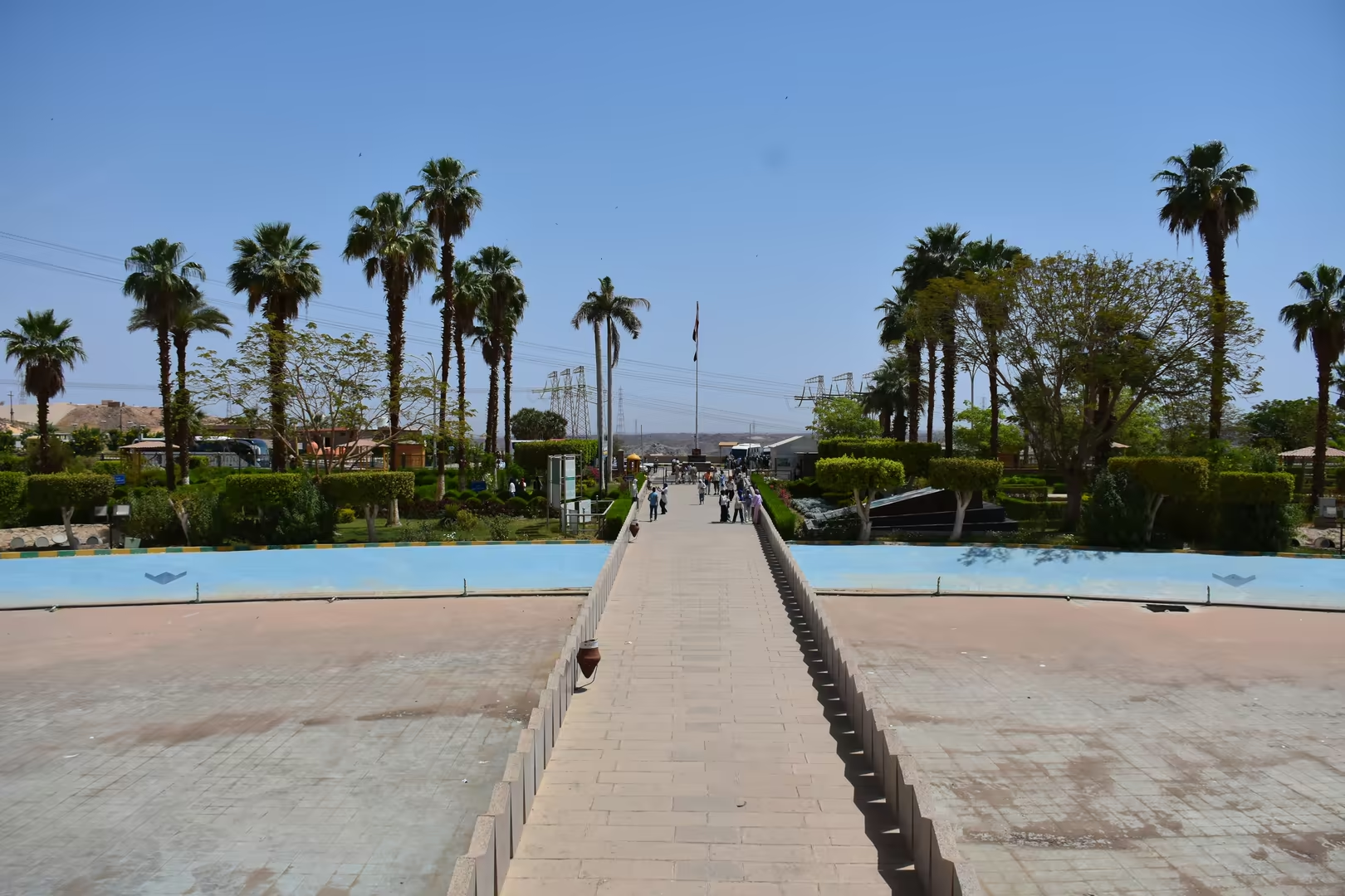
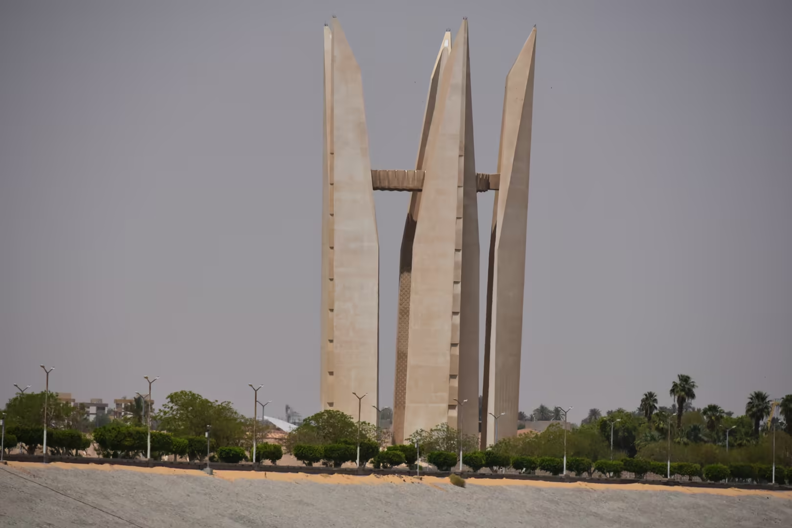
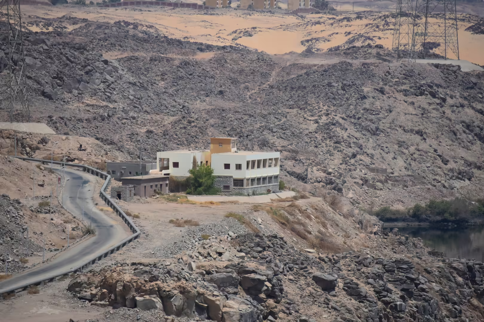
The Aswan High Dam closes the Nile valley south of the town, where the rock-fill embankment, 111 metres high and 3,830 metres long, was completed on 21 July 1970 after a decade of construction; the power station at its foot feeds about 2.1 gigawatts into the national grid. Upstream, the calm water of Lake Nasser spreads between desert shores and extends some 500 kilometres into Nubia. In the gardens beside the dam stands the Soviet-Egyptian Friendship Monument, an open lotus in stone raised after the dam’s completion to commemorate the Soviet role in its construction; its relief walls bear emblems, a sculpted portrait and inscriptions in Arabic and Russian, and the terraces command wide views across the dam wall and the reservoir.
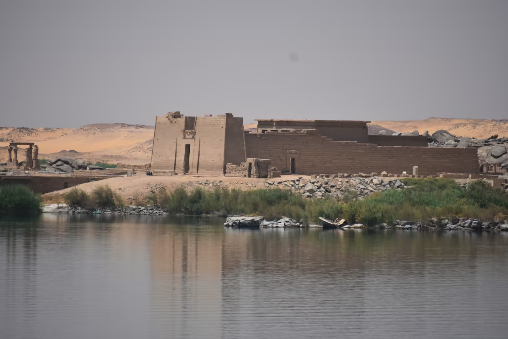
The temples of Philae lie on the island of Agilkia in the reservoir reach, reached by launch from the landing stage on the shore below the dam. The sanctuary, dedicated above all to the goddess Isis, grew under the Ptolemies into the foremost Isis cult centre of southern Egypt, and its great sandstone pylon still dominates the island; the last dated hieroglyphic inscription in the world was cut here in AD 394, and the cult was suppressed by order of Justinian about AD 537. After the Low Dam had left the temples submerged for most of every year, the complex was saved in the concluding act of the UNESCO rescue campaign: its ninety-five structures were dismantled into some 40,000 blocks and re-erected between 1977 and 1980 on Agilkia, some 500 metres from the original island and about twelve metres higher.
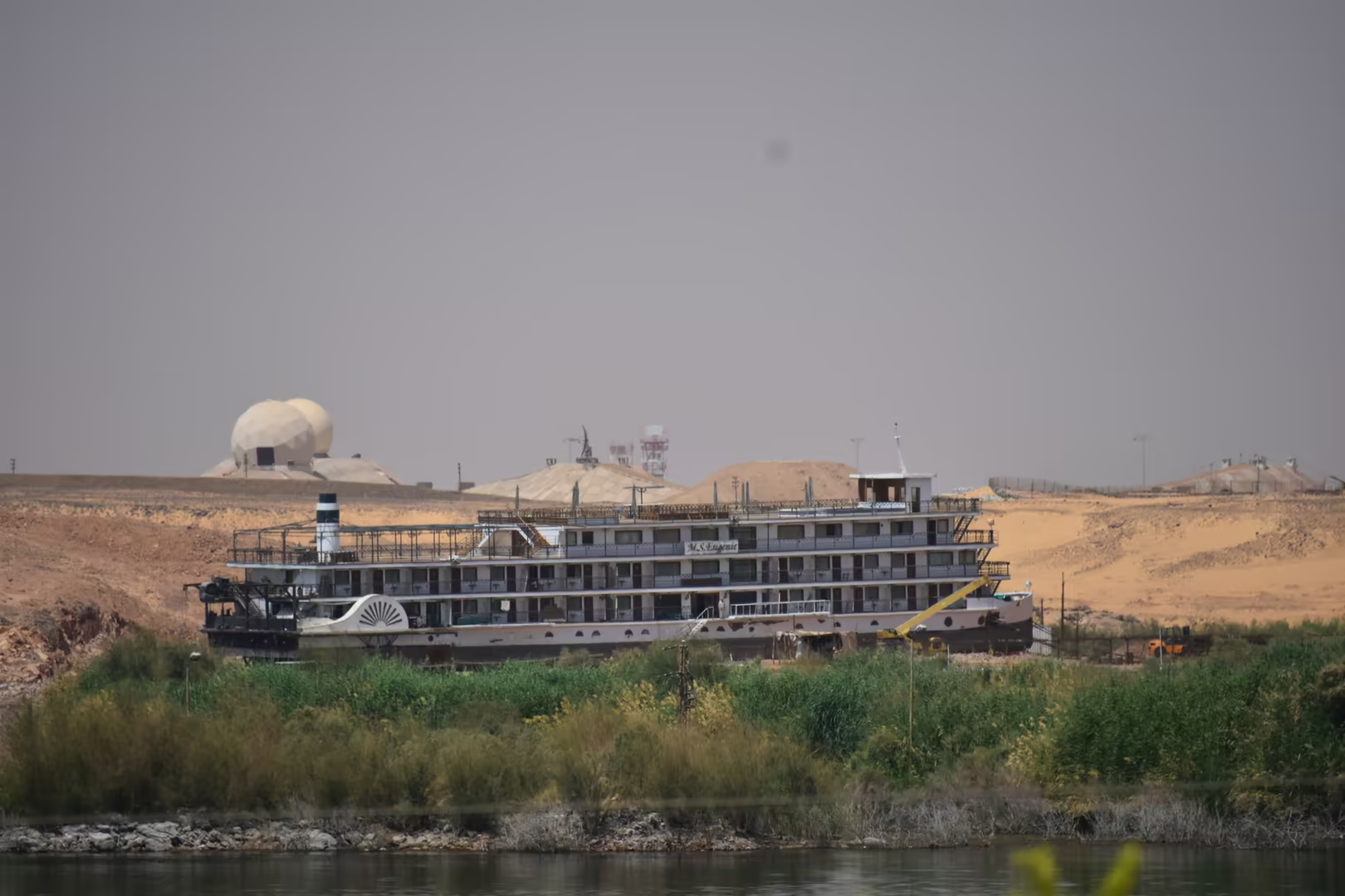
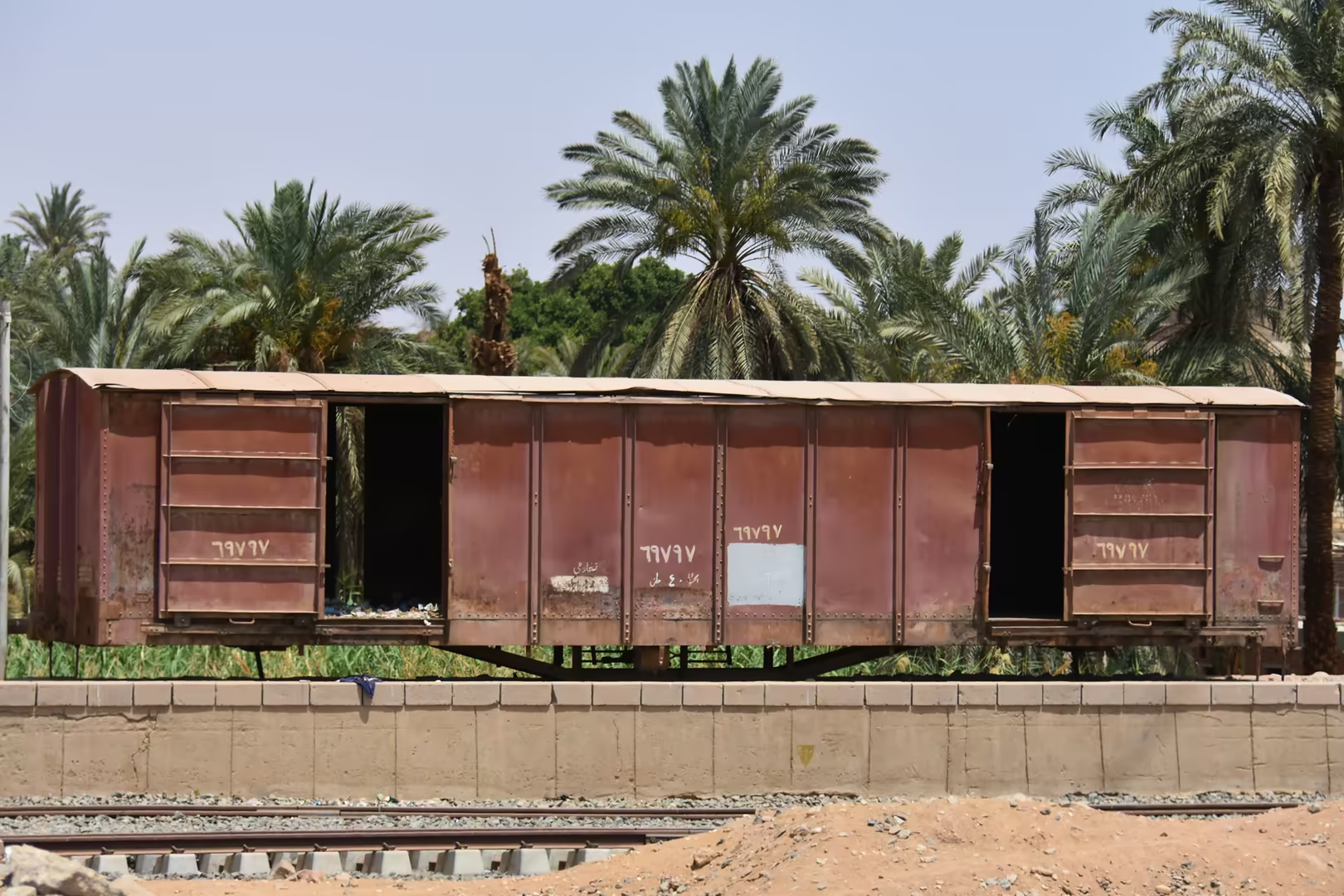
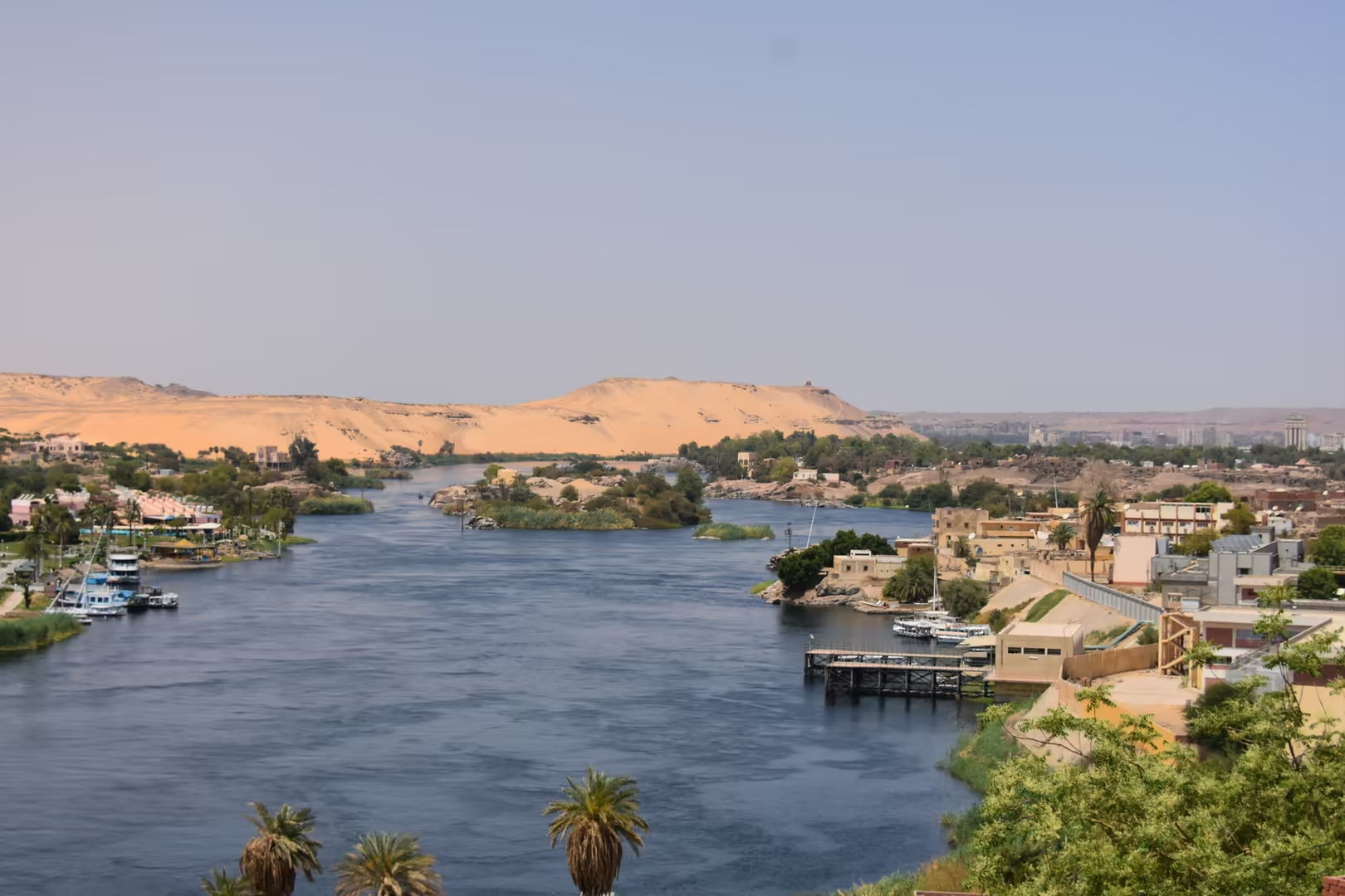
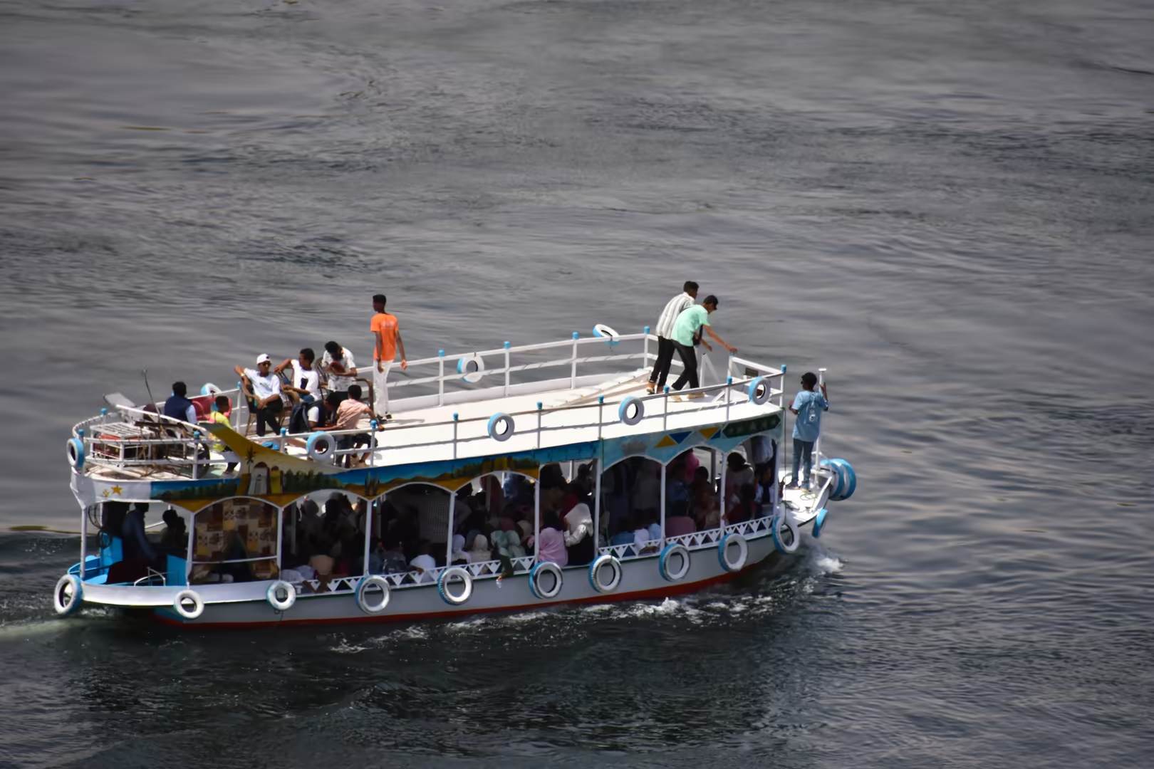
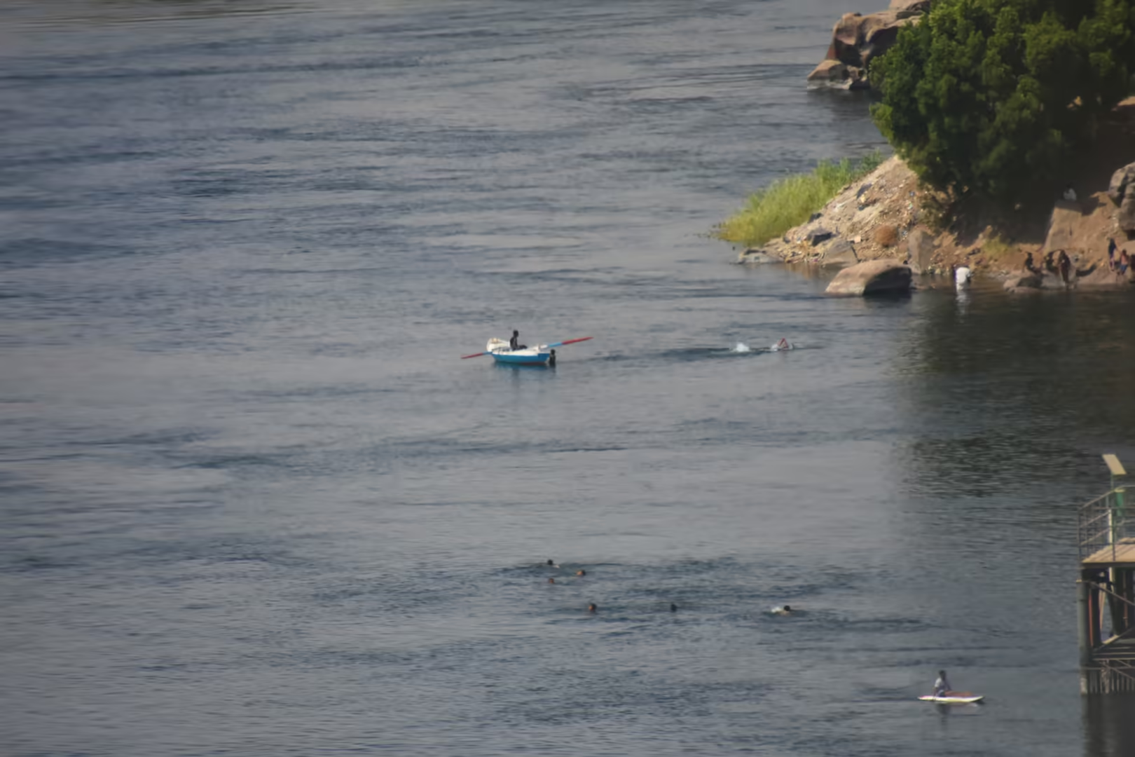
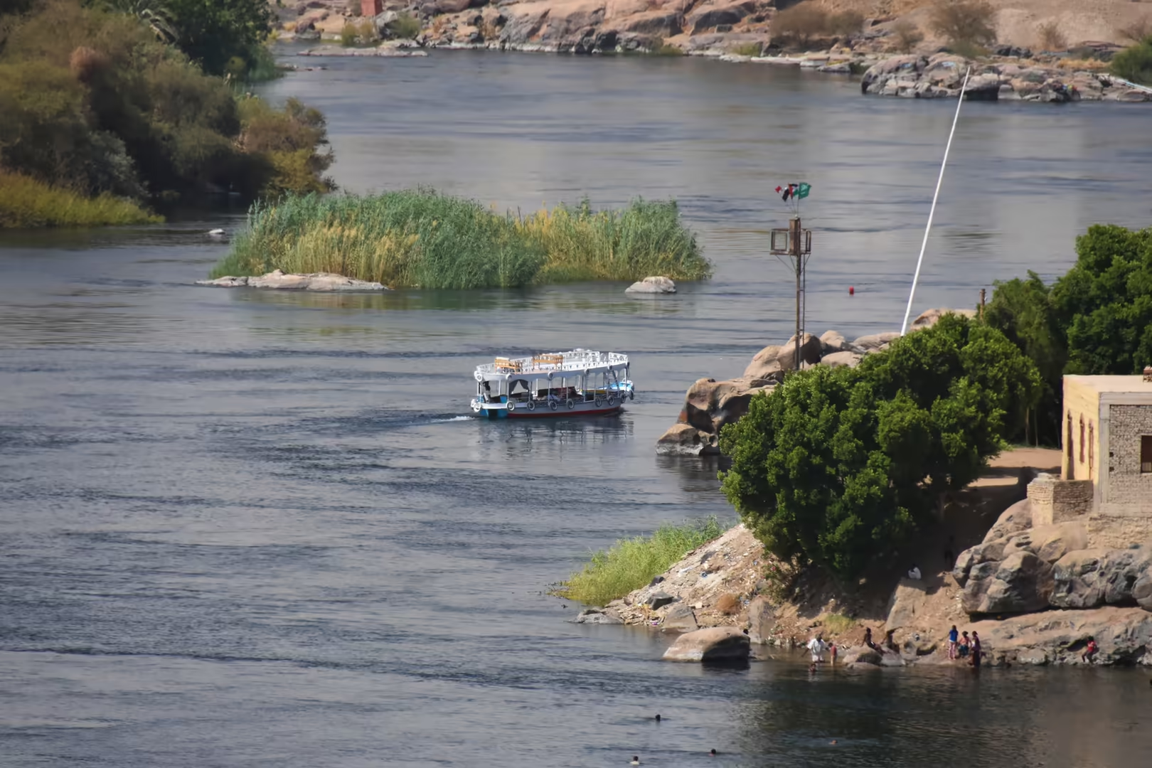
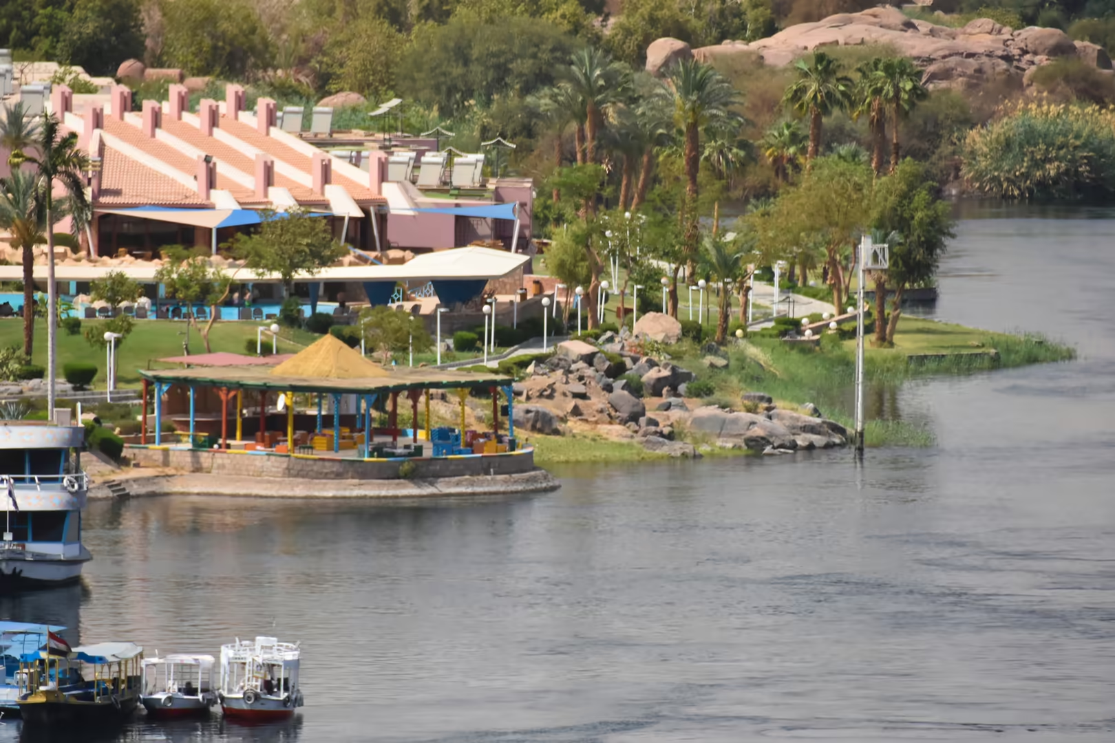
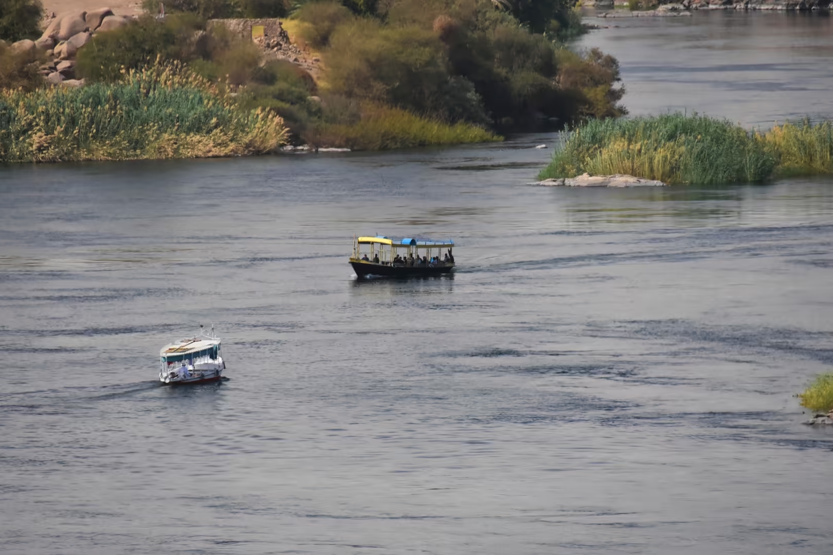
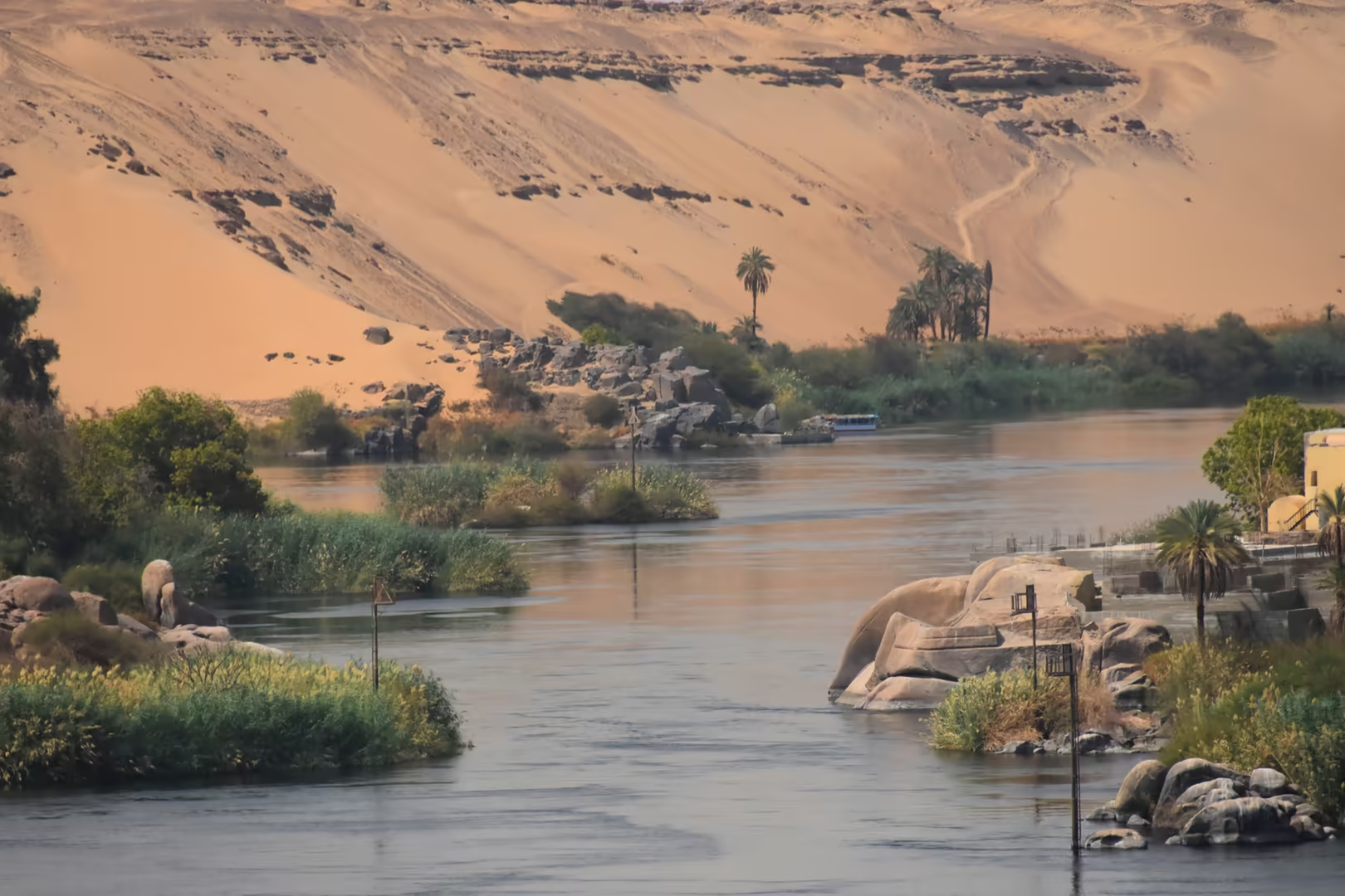
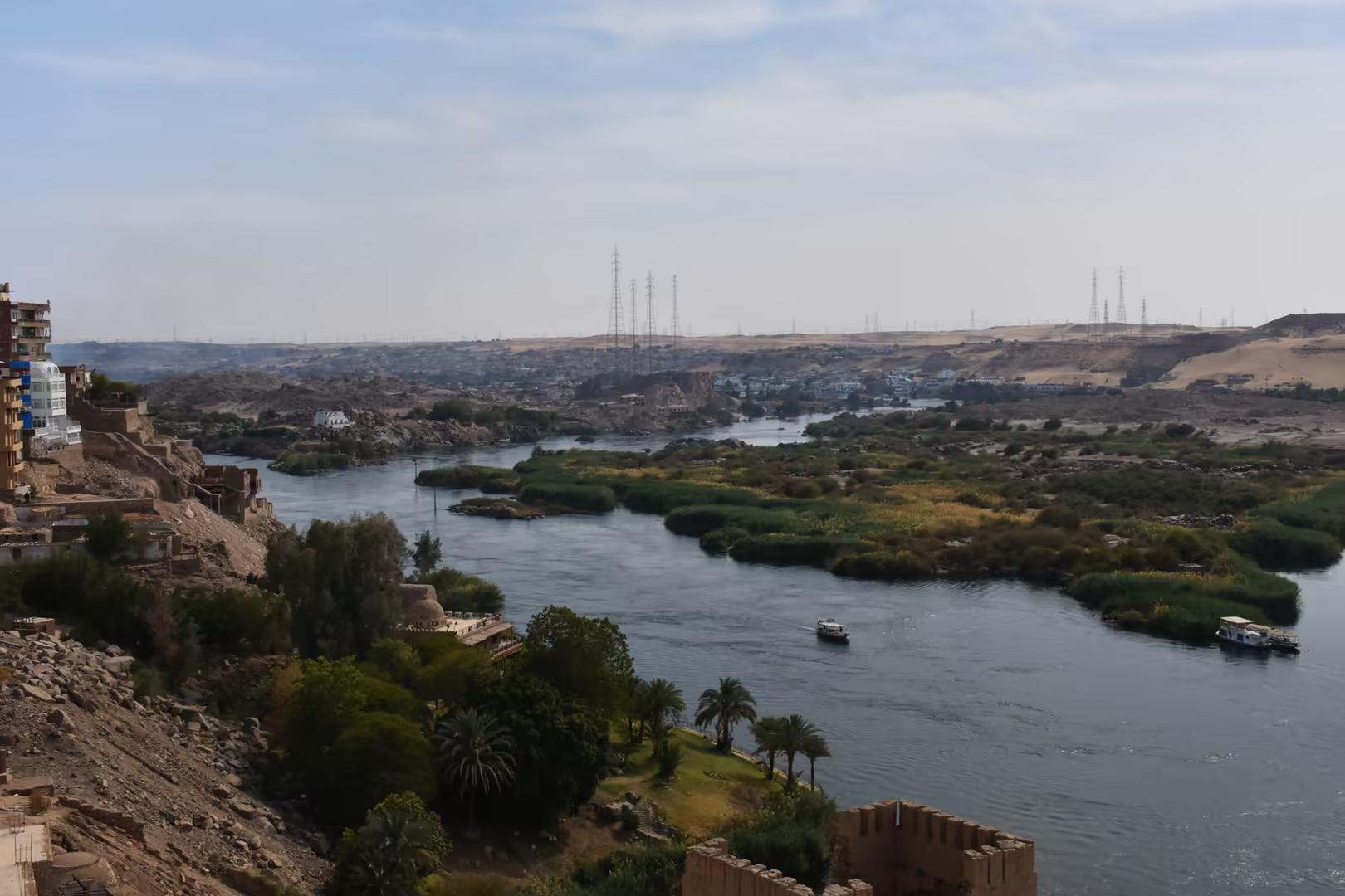
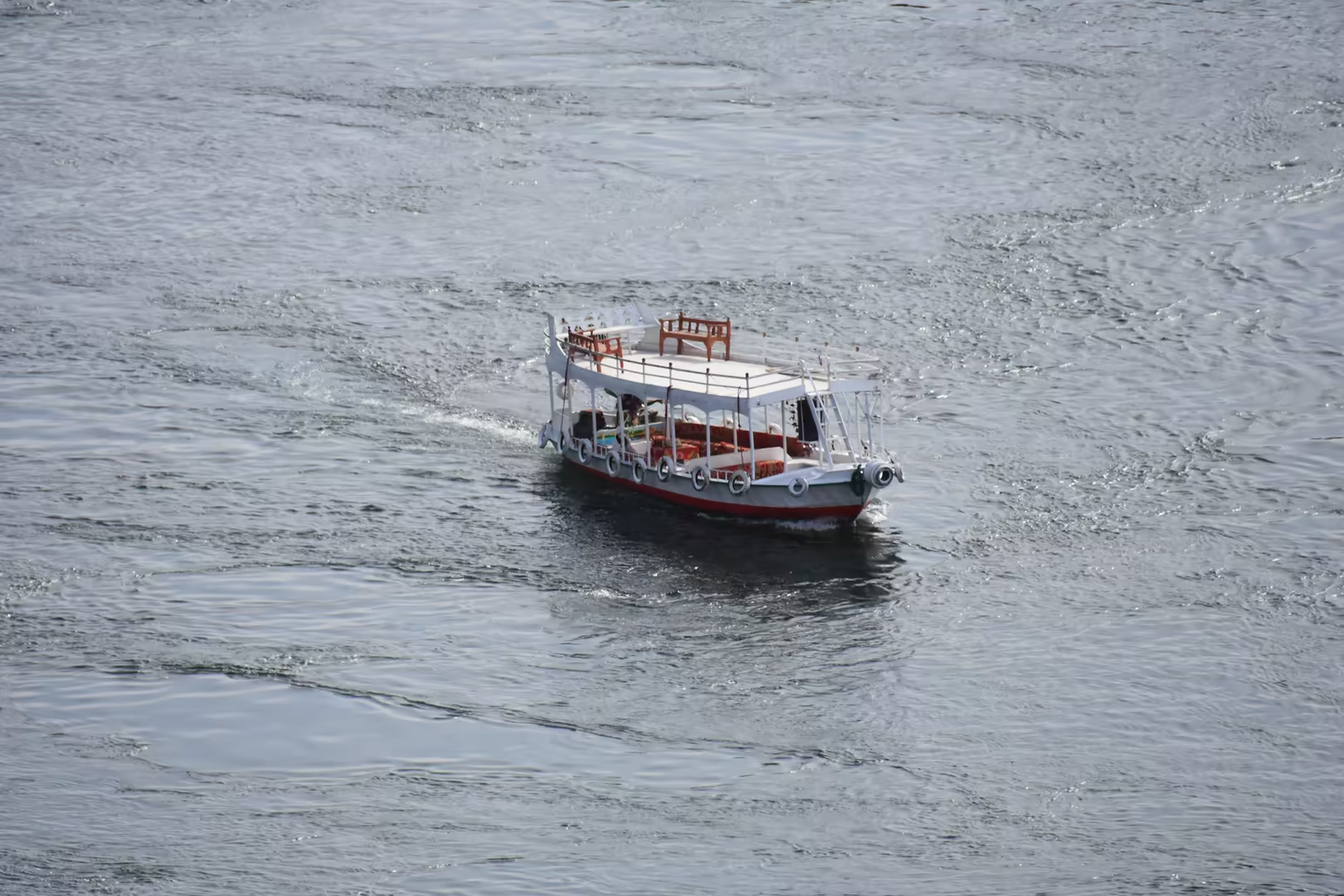
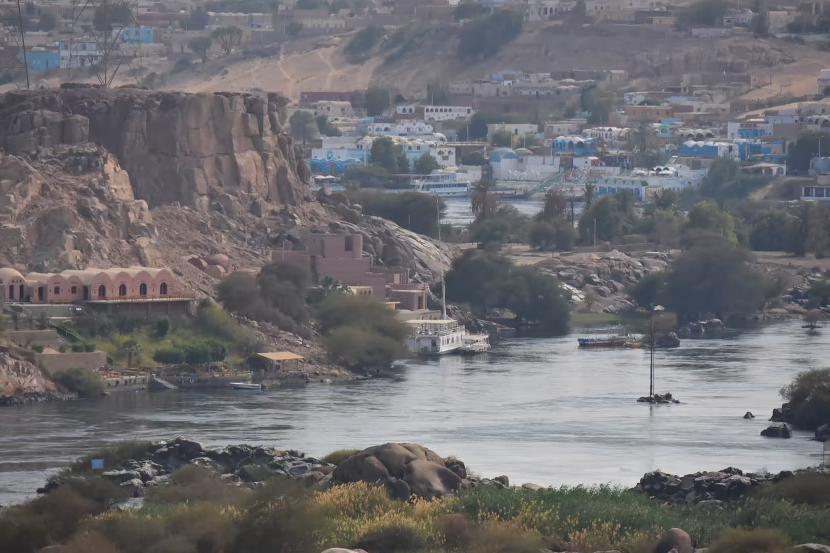
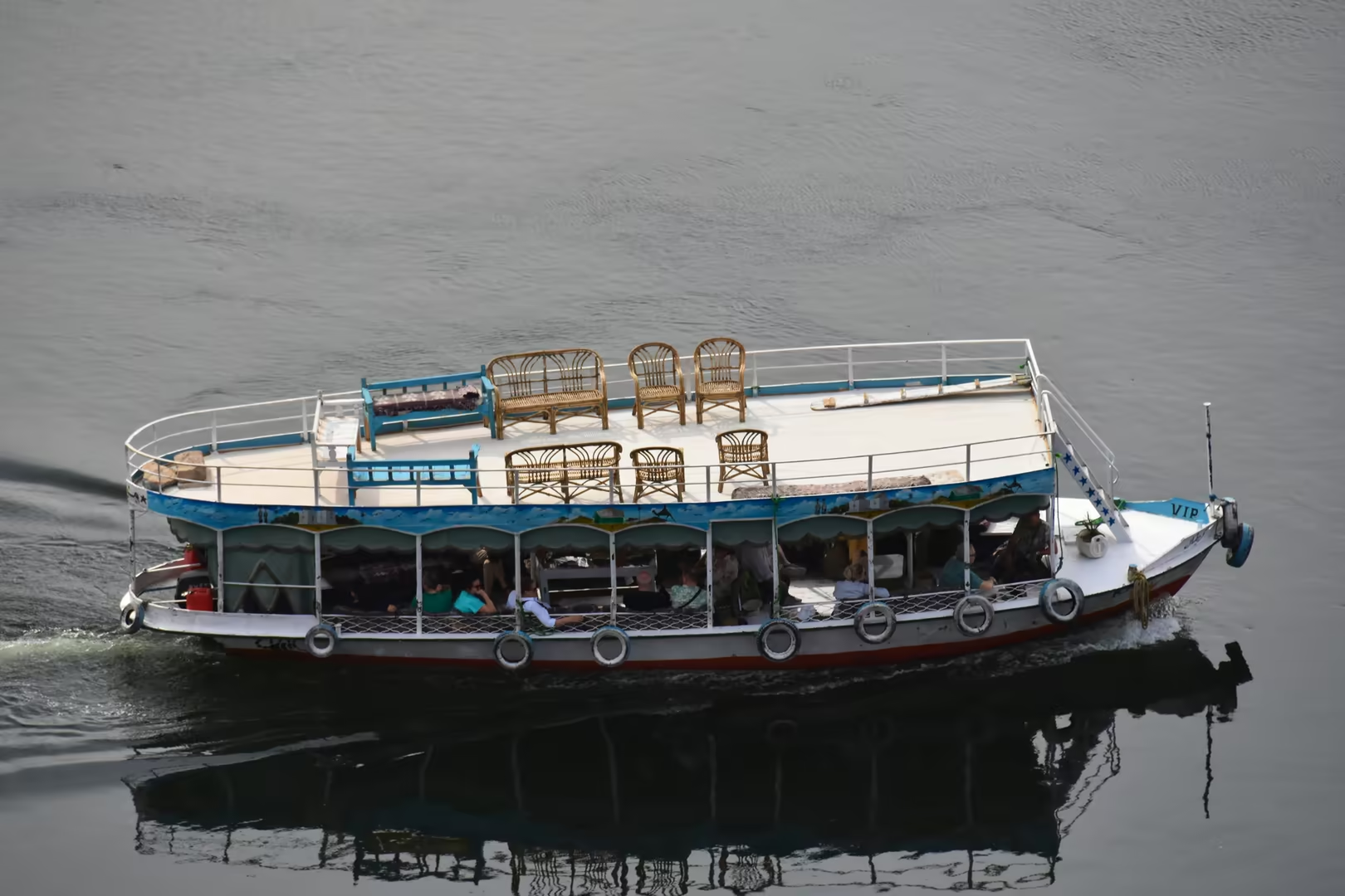
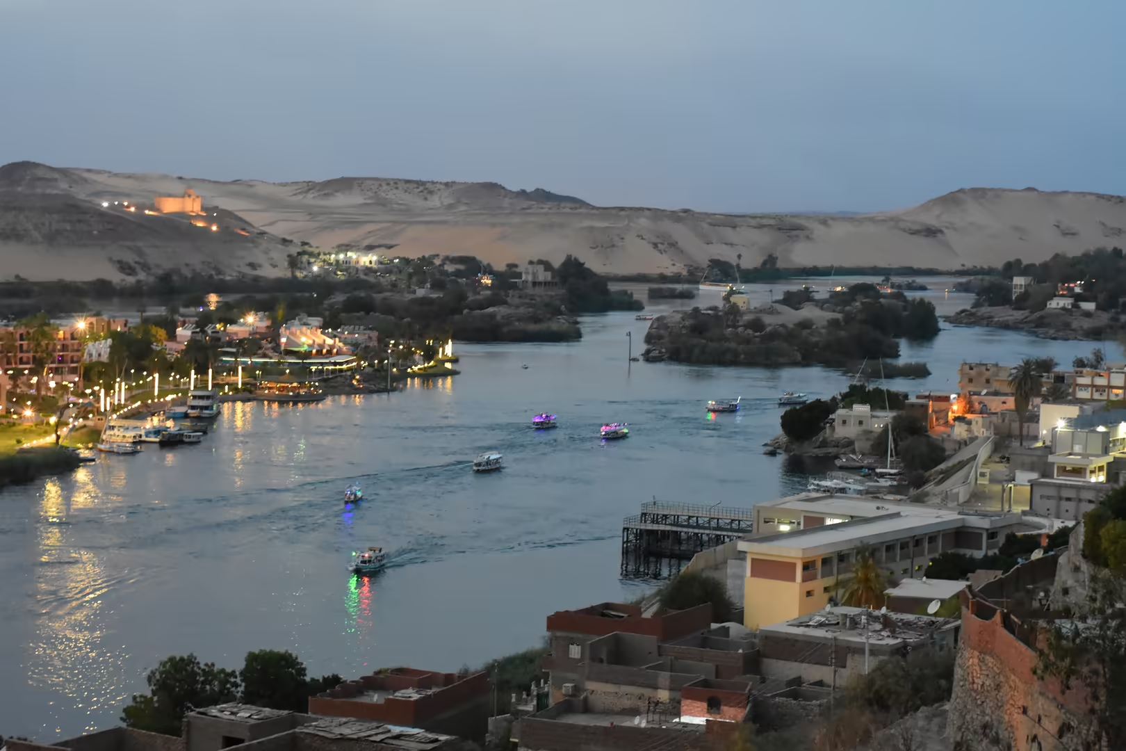
Downstream of the monuments the river opens out among the islands of the drowned First Cataract, whose granite islets and boulder-strewn channels once formed the frontier belt between Egypt and Nubia. A sail by felucca among these islands and past the reed-fringed islets is one of the classic excursions of Aswan; the west bank rises in sand dunes above its palm belt, while the railway line and the desert hills close the east bank. The reach carries the cruise boats that moor along the town’s corniche, the launches bound for Philae and the small ferries crossing to the western villages.
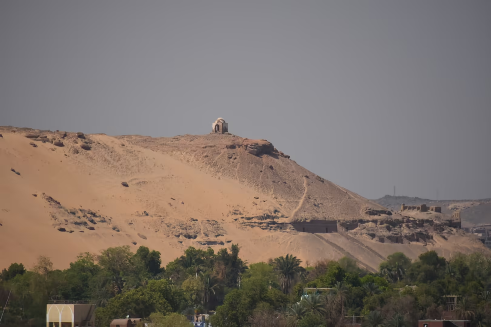
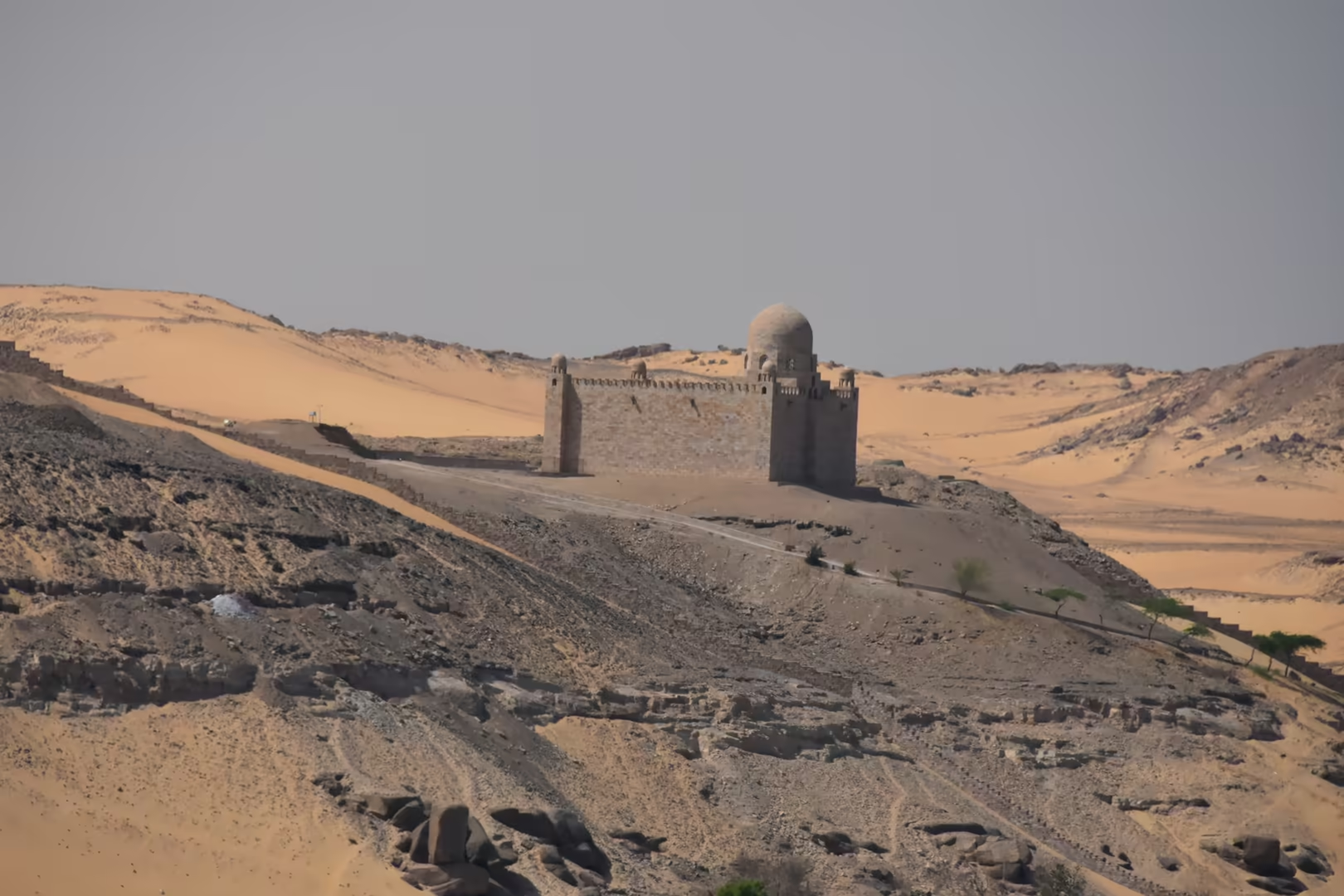
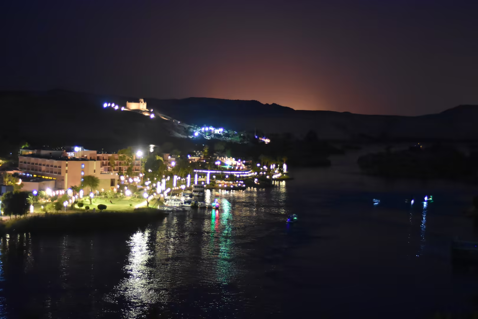
Two domed monuments crown the ridge of the west bank above the river. On the summit of Qubbet el-Hawa, the ‘dome of the wind’, the white qubba of a local saint rises over the rock-cut tombs of the governors of Elephantine, which date from the Old and Middle Kingdoms; the most celebrated is the tomb of the Sixth-Dynasty official Harkhuf, whose autobiography records four expeditions into the south. Closer to the town, the mausoleum of Aga Khan III stands on its own rocky spur, built of pink limestone between 1956 and 1960 after a Fatimid model; a red rose is laid on the tomb each day, and in the evening the floodlit dome glows above the river.
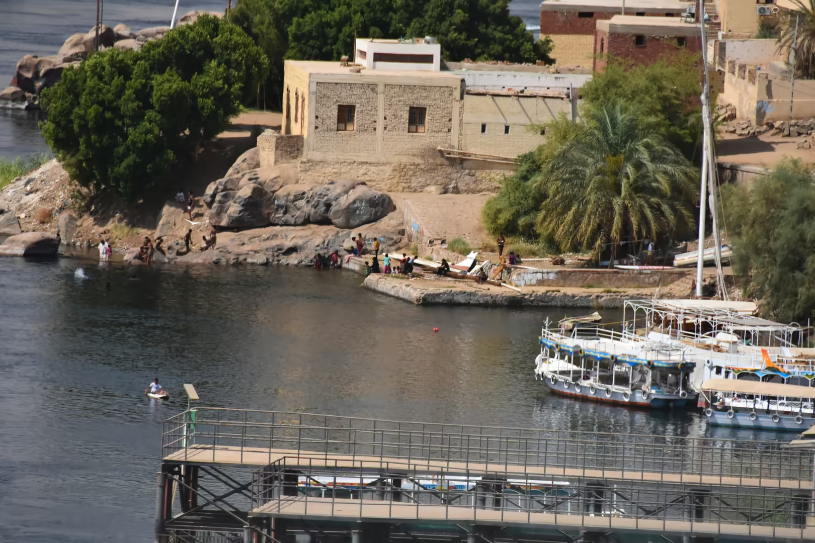
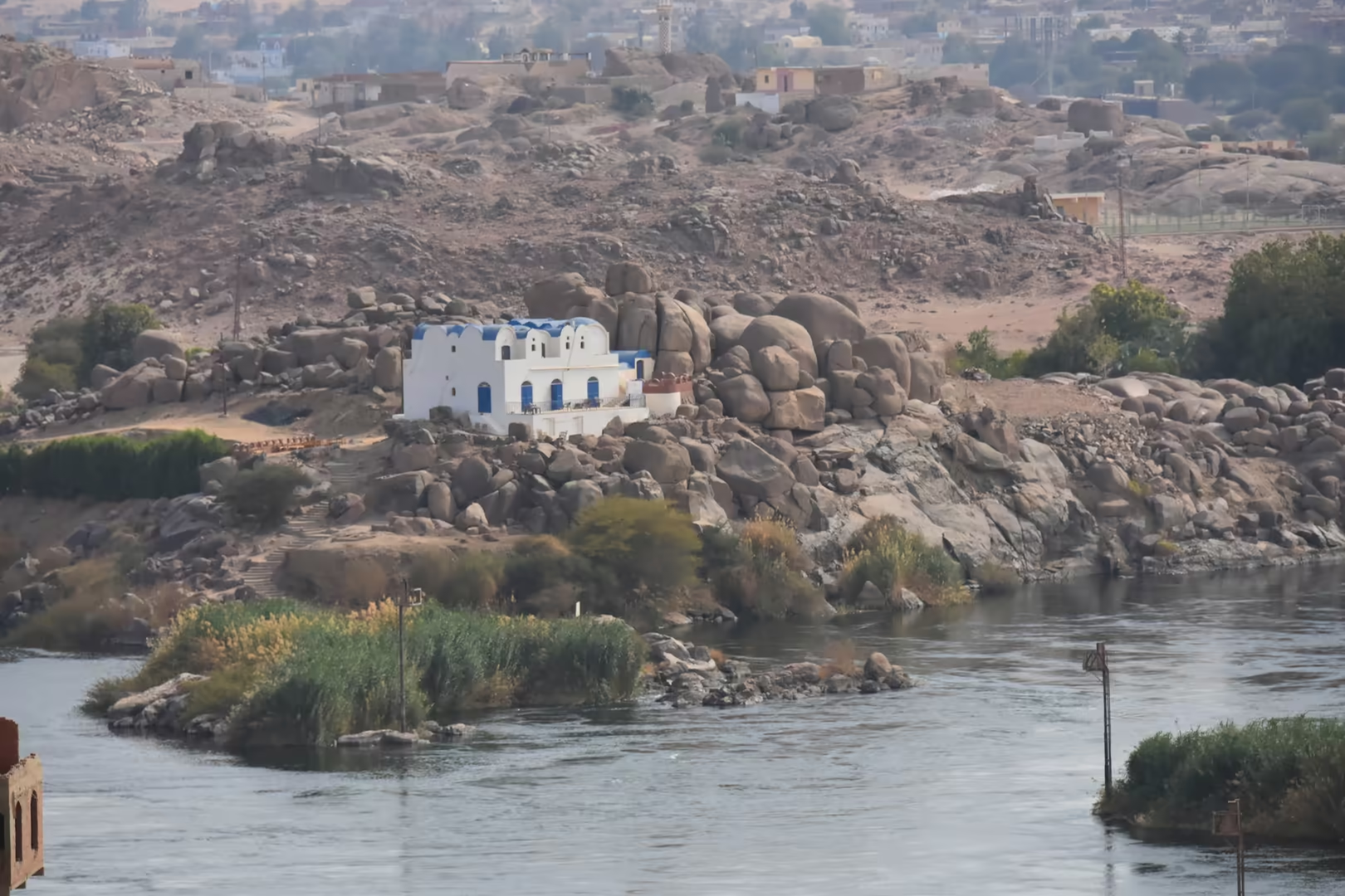
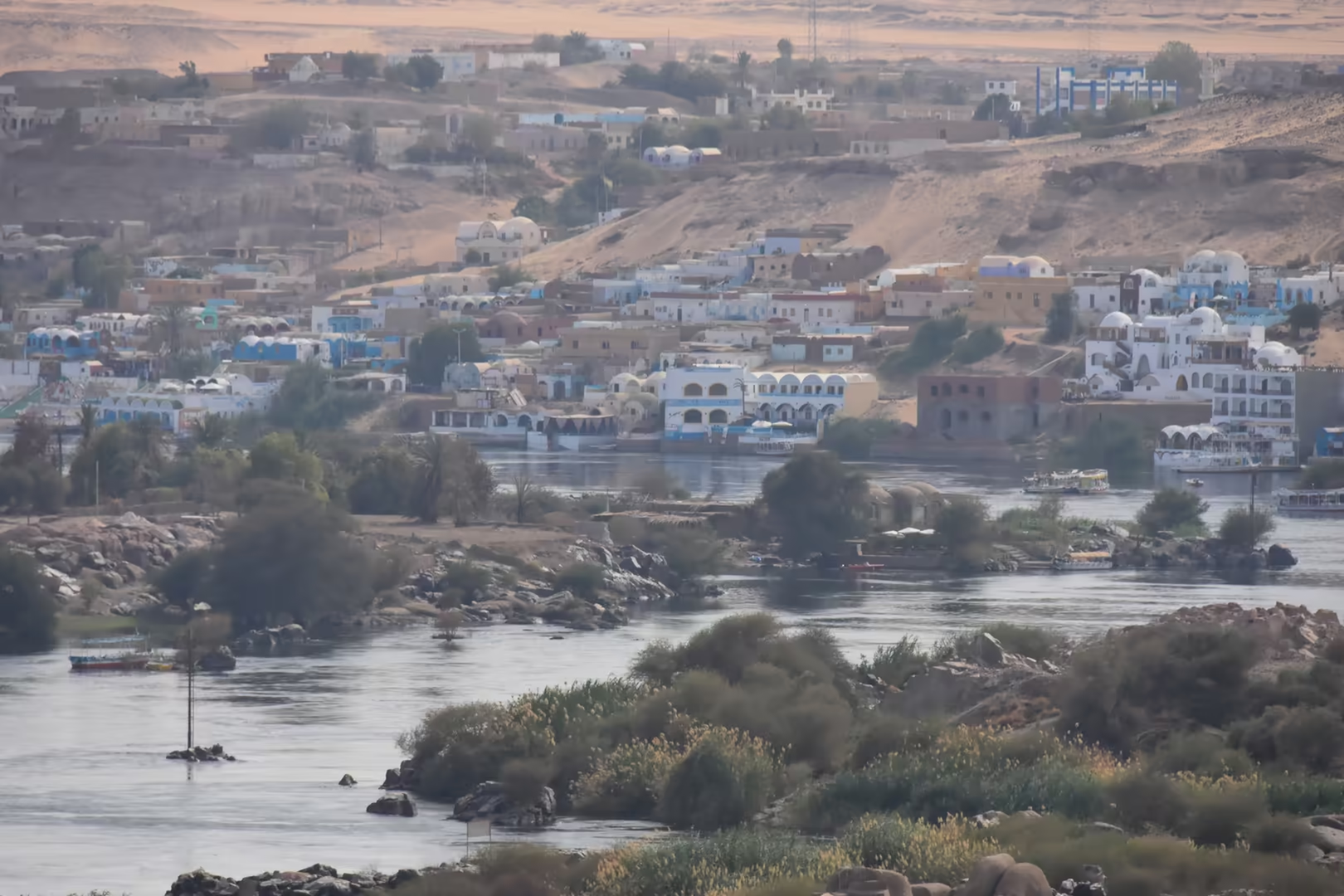
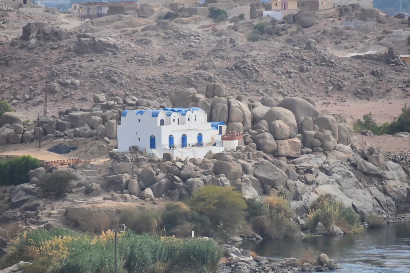
The west bank below the ridge is lined with the Nubian villages of the Aswan shore. Their houses are whitewashed, with domed roofs and doors and window trim painted bright blue; some stand directly on the round granite boulders of the bank, and painted walls and dusty lanes climb the hillsides between the buildings. The villagers belong to the Nubian people, whose ancestral homeland now lies beneath Lake Nasser: the resettlement that accompanied the flooding of the reservoir after 1964 brought many families to the Aswan region. Their language and customs distinguish them from the townspeople of the east bank, and the blue-domed houses are among the characteristic sights of the Aswan river.
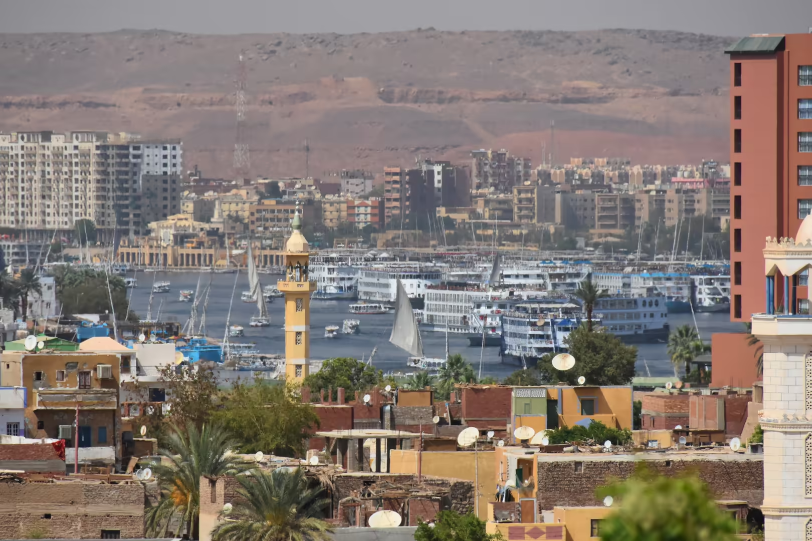
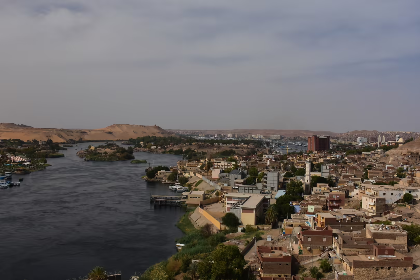
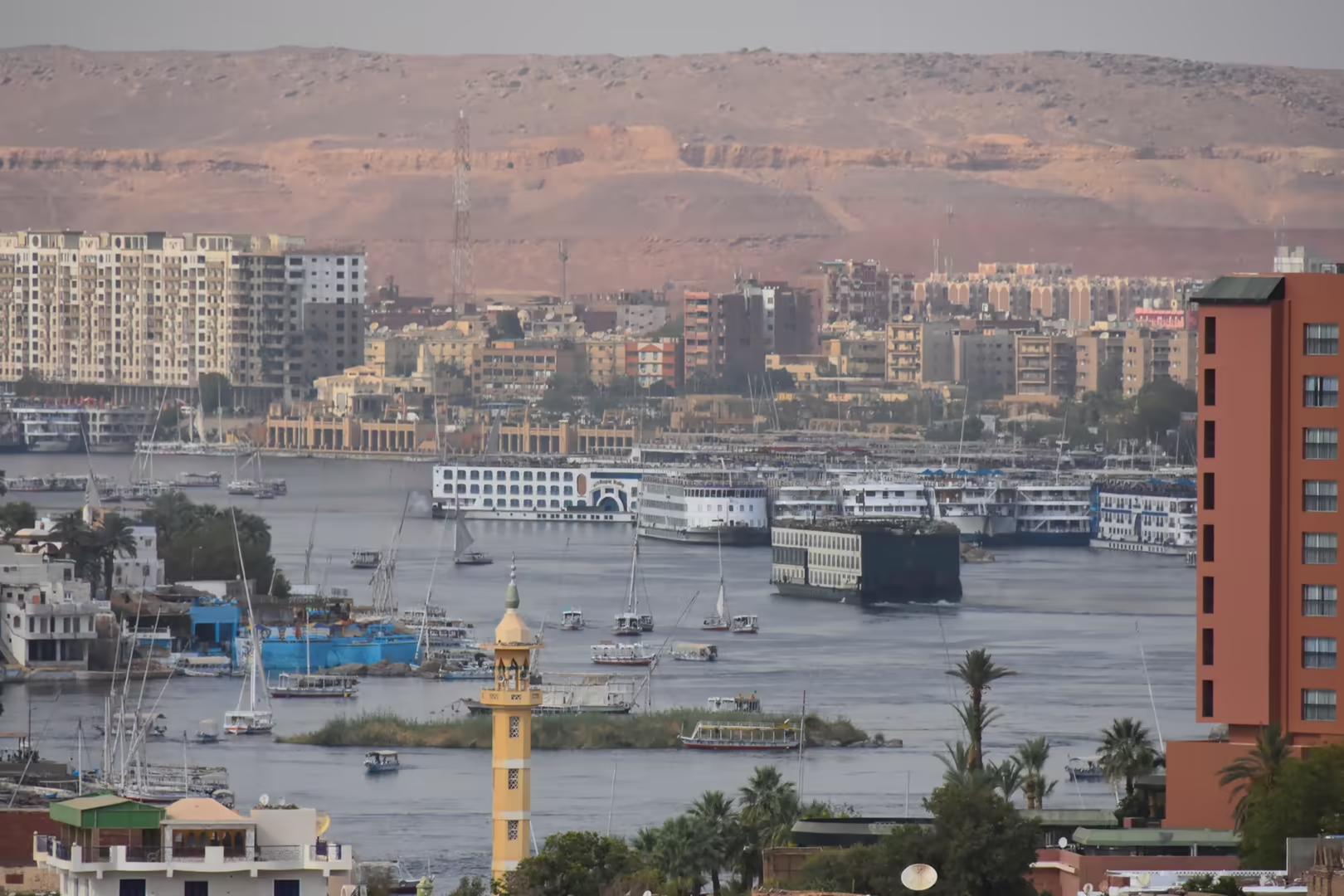
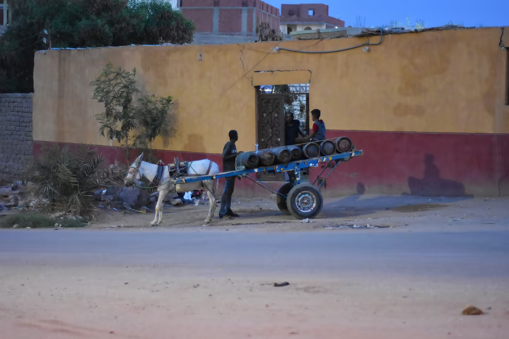
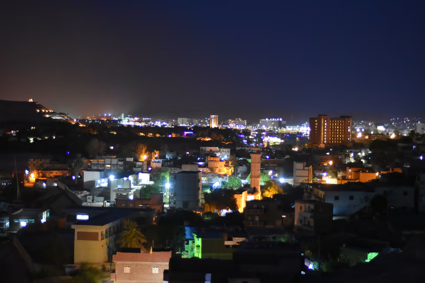
The town of Aswan occupies the east bank below the old cataract. From the river its skyline shows the minarets and the yellow front of the mosque above the corniche, where moored cruise ships and sailing feluccas line the quay and the desert hills rise behind the houses. Ashore, the covered market streets of the old quarter are busy with shops, horse-drawn carts and the street life of the town, and the corniche is the southern terminus of Nile cruising and the point of departure for the ferries to the west bank. In the evening the waterfront becomes a promenade, the floodlit domes of the western ridge glow across the water, and the lamps of the market streets burn late into the night.
References
- Arnold, D. (1991). Building in Egypt: Pharaonic Stone Masonry. New York: Oxford University Press.
- Aston, B. G., Harrell, J. A., & Shaw, I. (2000). Stone. In P. T. Nicholson & I. Shaw (eds.), Ancient Egyptian Materials and Technology (pp. 5-77). Cambridge: Cambridge University Press.
- Said, R. (1990). The Geology of Egypt. Rotterdam: A. A. Balkema.
- Säve-Söderbergh, T. (ed.) (1987). Temples and Tombs of Ancient Nubia: The International Rescue Campaign at Abu Simbel, Philae and Other Sites. London: Thames & Hudson.
- UNESCO World Heritage Centre (1979). Nubian Monuments from Abu Simbel to Philae. World Heritage List, ref. 88. whc.unesco.org/en/list/88/
- Wikipedia contributors (2026). Aswan. en.wikipedia.org/wiki/Aswan
- Wikipedia contributors (2026). Aswan High Dam. en.wikipedia.org/wiki/Aswan_High_Dam
- Wikipedia contributors (2026). Aswan Low Dam. en.wikipedia.org/wiki/Aswan_Low_Dam
- Wikipedia contributors (2026). Lake Nasser. en.wikipedia.org/wiki/Lake_Nasser
- Wikipedia contributors (2026). Philae temple complex. en.wikipedia.org/wiki/Philae_temple_complex
- Wikipedia contributors (2026). Elephantine. en.wikipedia.org/wiki/Elephantine
- Wikipedia contributors (2026). Unfinished obelisk. en.wikipedia.org/wiki/Unfinished_obelisk
- Wikipedia contributors (2026). Cataracts of the Nile. en.wikipedia.org/wiki/Cataracts_of_the_Nile
- Wikipedia contributors (2026). Qubbet el-Hawa. en.wikipedia.org/wiki/Qubbet_el-Hawa
- Wikipedia contributors (2026). Mausoleum of Aga Khan. en.wikipedia.org/wiki/Mausoleum_of_Aga_Khan
- Wikipedia contributors (2026). Nubian people. en.wikipedia.org/wiki/Nubian_people
- Wikipedia contributors (2026). El Nabatat Island. en.wikipedia.org/wiki/El_Nabatat_Island