Egypt
CountriesEgypt
Stages19
Route

Day 2 - The Pyramids of Giza
Day 3 - Grand Egyptian Museum

Day 4 - Saqqara
Day 5 - Dahshur

Day 6 - Lake Qarun

Day 7 - Luxor

Day 8 - Luxor Temple

Day 9 - Valley of The Kings and Valley of the Queens
Day 10 - Temple of Hatshepsut

Day 12 - Abu Simbel

Day 13 - Assuan

Day 14 - Assuan - Elephantine Island

Day 15 - Assuan - Philae Temple

Day 16 - Abydos

Day 17 - Drive to the Red Sea

Day 19 - Red Sea

Day 20 - Suez

Day 21 - Lake Qarun & Cairo
Photographs (2187)



Journal Notes (19)
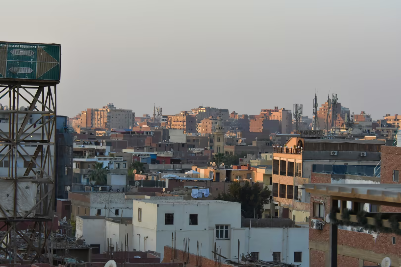
Day 1 - Cairo
General Cairo is the capital of the Arab Republic of Egypt and the principal city of the Cairo Governorate. The metropolis occupies the east bank of the Nile immediately south of the apex of the Nile Delta, at the point where the river, after crossing the desert of Upper Egypt in …
Day 2 - The Pyramids of Giza
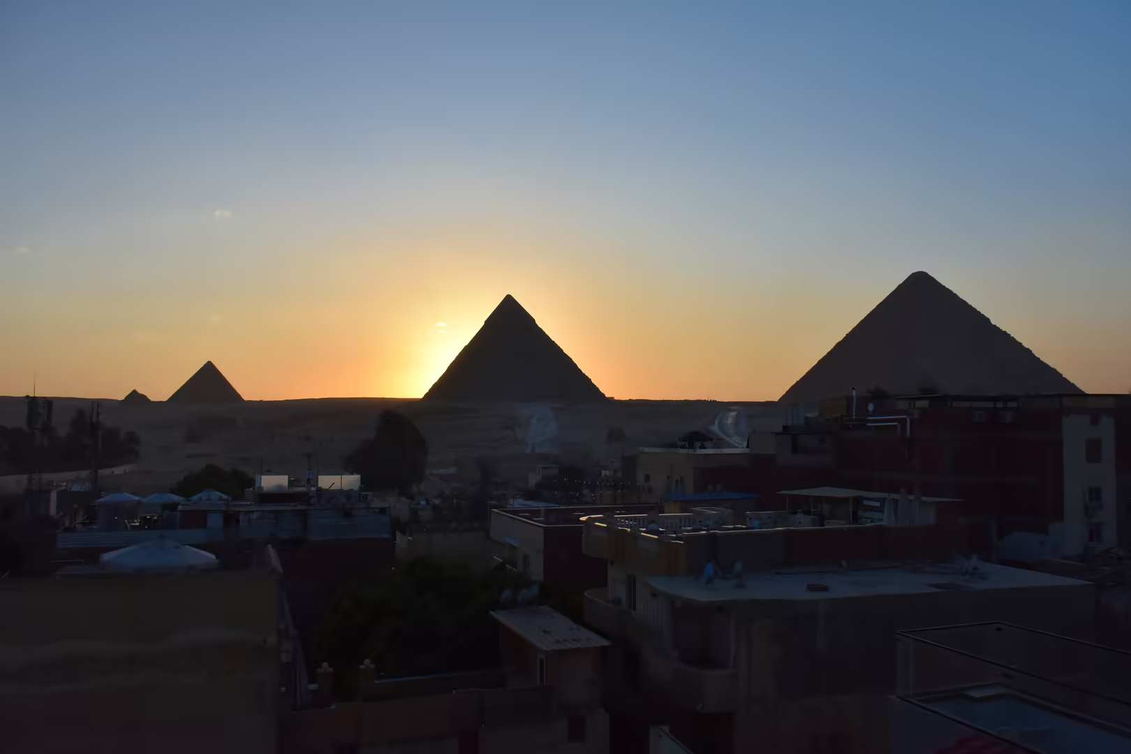
General The Giza pyramid complex stands on the desert edge of the Giza Plateau, on the west bank of the Nile within the governorate of Giza, barely a dozen kilometres south-west of the centre of Cairo and directly against the built-up fringe of the metropolis. The plateau carries …
Day 3 - Grand Egyptian Museum
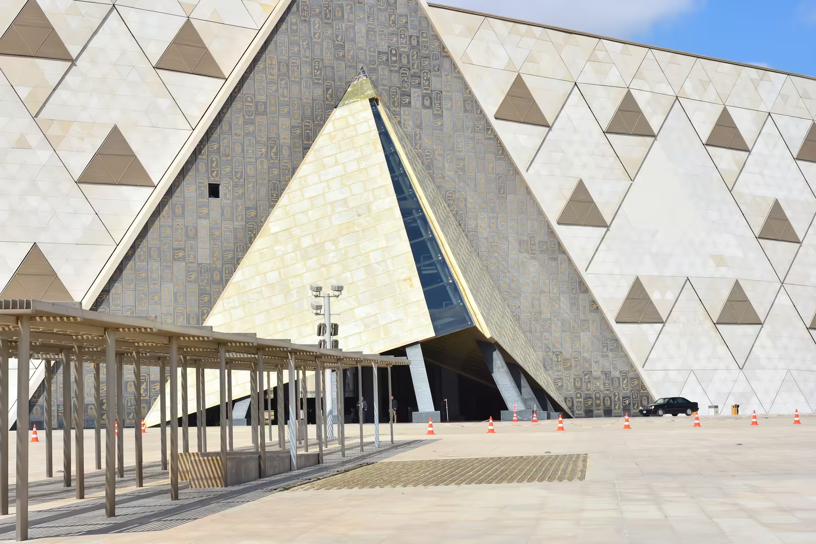
General The Grand Egyptian Museum stands on a high desert terrace at the western edge of Greater Cairo, in Giza, barely two kilometres from the pyramid complex it was built to face. It is the largest museum in the world devoted to a single civilisation: more than 100,000 artefact …
Day 4 - Saqqara
General Saqqara is the great necropolis of ancient Memphis, spread over the limestone plateau of the western desert edge, some thirty kilometres south of the centre of modern Cairo and a little way south of the Giza pyramid field. For more than three thousand years, from the dawn …
Day 5 - Dahshur
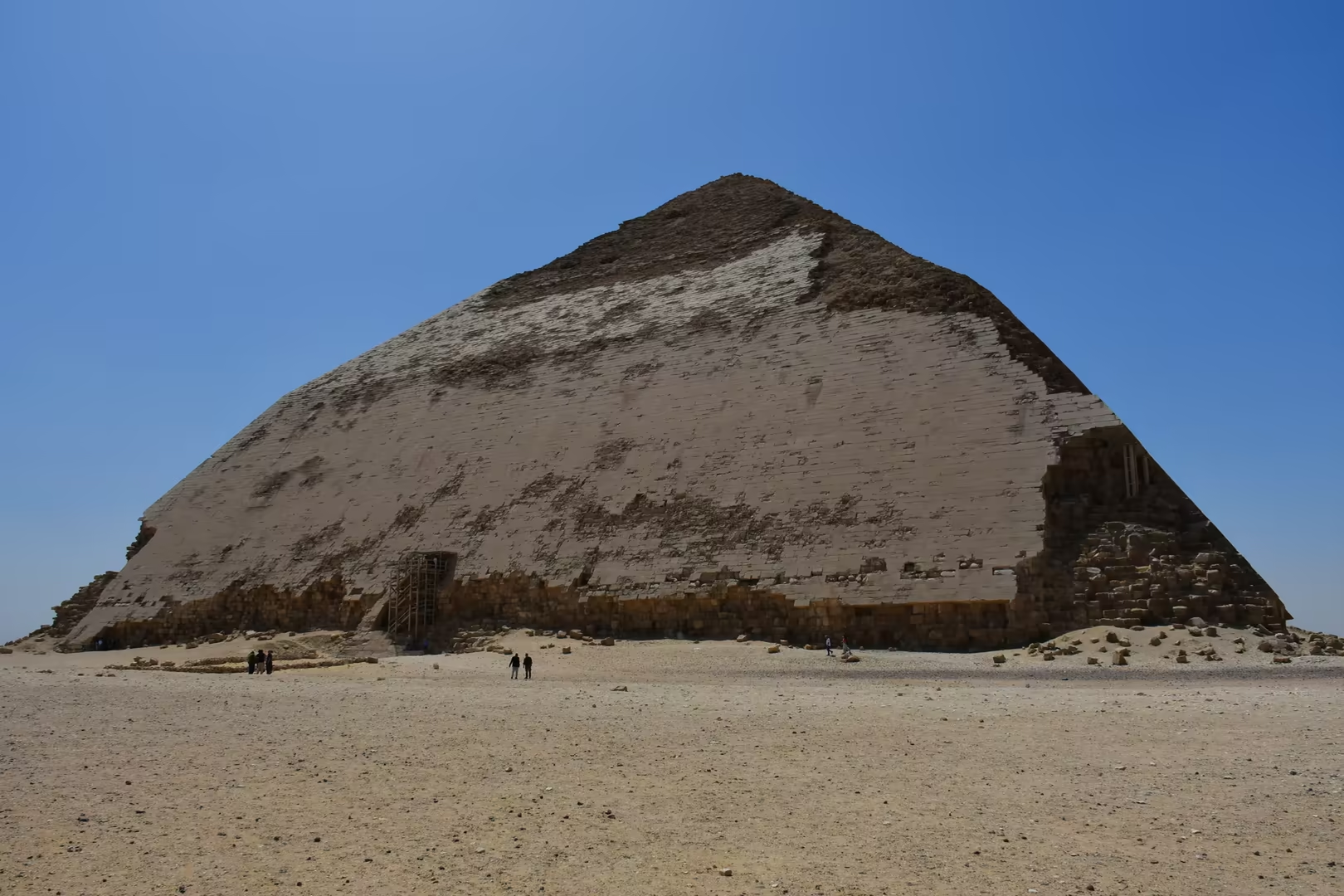
General Dahshur is the southernmost of the great Memphite pyramid fields, a royal necropolis on the western desert plateau of the Nile valley, some ten kilometres south of Saqqara and about forty kilometres south of the centre of modern Cairo. The site is known above all for the …
Day 6 - Lake Qarun
General Lake Qarun (Birket Qarun in Arabic) is a natural salt lake occupying the northern and lowest part of the Faiyum depression, about eighty kilometres south-west of Cairo and some forty-three metres below sea level. Roughly forty kilometres long from east to west and only a …
Day 7 - Luxor
General Luxor is a city of Upper Egypt on the east bank of the Nile, some 670 kilometres south of Cairo and about 220 kilometres north of Aswan, the capital of the Luxor Governorate; its roughly 285,000 inhabitants (2023 estimate) make it a modest provincial centre by Egyptian st …
Day 8 - Luxor Temple
General Luxor Temple stands on the east bank of the Nile in the centre of the modern city of Luxor, on the ground of ancient Thebes, which the Egyptians knew as Waset. In antiquity the sanctuary was called Ipet-resyt, “the southern sanctuary”, the counterpart of Ipet-isut, “the m …
Day 9 - Valley of The Kings and Valley of the Queens
General The Valley of the Kings and the Valley of the Queens are the two royal burial grounds of the Theban Necropolis, cut into the limestone massif on the west bank of the Nile opposite Thebes, the modern Luxor. For nearly five hundred years, from the early Eighteenth Dynasty t …
Day 10 - Temple of Hatshepsut
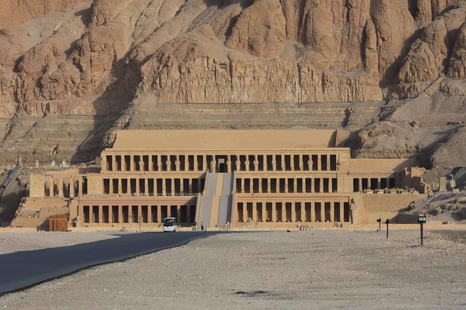
General The mortuary temple of Hatshepsut, Djeser-Djeseru (“the Holy of Holies”, the “house of millions of years” of the female king Maatkare Hatshepsut), stands in the bay of Deir el-Bahri on the west bank of the Nile at ancient Thebes, opposite modern Luxor, hugging the foot of …
Day 12 - Abu Simbel
General Abu Simbel is the name given to two rock-cut temples of Ramesses II on the western bank of Lake Nasser in the Aswan Governorate of Upper Egypt, some 230 kilometres south-west of Aswan and about 300 by road, close to the frontier with Sudan. The site stands at latitude 22° …
Day 13 - Assuan
General Aswan, the southernmost city of Egypt, lies on the east bank of the Nile immediately north of the First Cataract, roughly a thousand kilometres up-river from Cairo, and is the capital of the governorate that bears its name. With about 370,000 inhabitants (2024), it is amo …
Day 14 - Assuan - Elephantine Island
General Elephantine is the largest island of the Nile at Aswan, a low band of pink granite, palm garden and village lying immediately below the First Cataract, at the southern frontier of ancient Egypt. The island, some 1,200 metres long and up to 400 metres wide, forms part of t …
Day 15 - Assuan - Philae Temple
General Philae is the Greek name of one of the most celebrated sanctuaries of the ancient Nile valley: the island temple complex of the goddess Isis, which for over a millennium guarded the southern frontier of Egypt immediately above the First Cataract near Aswan (ancient Syene) …
Day 16 - Abydos
General Abydos lies on the western bank of the Nile in Middle Egypt, about eleven kilometres from the river, at the point where the green floodplain of the Sohag stretch gives way to the low desert. In antiquity the city, called Abedju in Egyptian, was the principal town of the e …
Day 17 - Drive to the Red Sea
General East of the Nile valley in the district of Abydos, the road to the Red Sea crosses the breadth of Upper Egypt to the coast. The intervening country is the Eastern Desert (the deshret, the “Red Land”, of ancient Egyptian geography), the great arid tract between the cultiva …
Day 19 - Red Sea
General Sahl Hasheesh is a wide, shallow bay on the Red Sea coast of Egypt, some eighteen kilometres south of Hurghada International Airport and within the continuous resort belt that runs between the cities of Hurghada and Safaga. The bay opens towards the sea between rocky head …
Day 20 - Suez
General Suez lies at the head of the Gulf of Suez, the north-western arm of the Red Sea, where the shore of the Eastern Desert turns northwards into the low, flat tongue of the Isthmus of Suez. The city is the southern terminus of the Suez Canal: the port of Port Tewfik opens dir …
Day 21 - Lake Qarun & Cairo
General Lake Qarun, Birket Qarun in Arabic, fills the north-western corner of the Faiyum depression, the great oasis basin of Egypt's Western Desert some eighty kilometres south-west of Cairo. The depression is a hollow in the desert plateau west of the Nile, its floor dropping f …