Day 21 - Lake Qarun & Cairo


















Journal Notes
General
Lake Qarun, Birket Qarun in Arabic, fills the north-western corner of the Faiyum depression, the great oasis basin of Egypt’s Western Desert some eighty kilometres south-west of Cairo. The depression is a hollow in the desert plateau west of the Nile, its floor dropping far below sea level, and the lake occupies its lowest angle: the open water covers roughly two hundred square kilometres and lies about forty-three metres below sea level. The Bahr Yussef, a branch of the Nile system, carries water from the river valley into the depression, but with no natural outlet the lake is an endorheic basin in which evaporation continuously concentrates the salts of its inflows.
The lake is a relic. In prehistoric times the depression held the great freshwater Lake Moeris, estimated at between 1,270 and 1,700 square kilometres, whose margins carried some of the earliest farming settlements of Egypt; the modern lake is its shrunken, saline descendant: shallow, brackish to hypersaline, inhabited largely by salt-tolerant fish such as tilapia, grey mullet and sole, which sustain the local fisheries. The lake and its shores form the Lake Qarun Protected Area, listed as a Ramsar site since 2012, and nearly ninety species of water birds winter, feed or breed here, making it one of the most important wetlands of the African-Eurasian flyway.
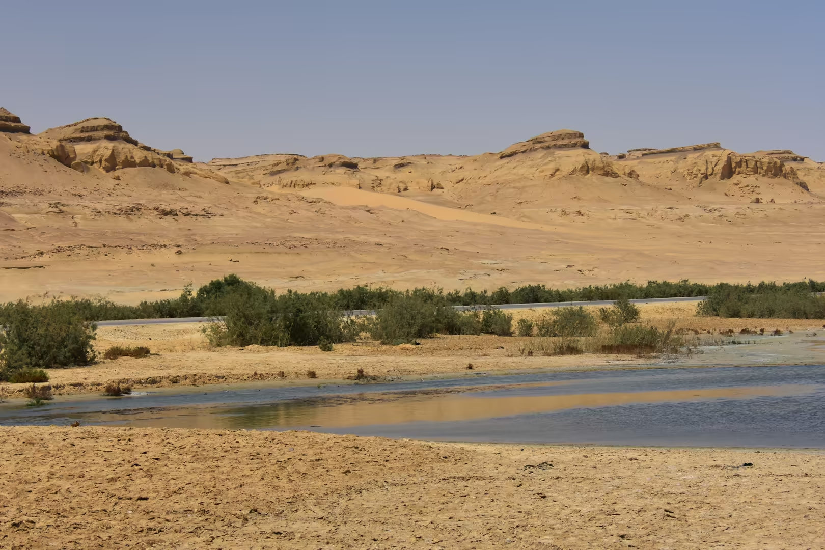
The depression ranks among the most densely settled and intensively cultivated districts of Egypt. Its irrigated fields cover the basin floor and are watered through the Bahr Yussef, which draws Nile water into the region at Lahun, while the capital of the governorate, the city of Faiyum, stands on the same waterway at the site of ancient Shedet, known to the Greeks as Crocodilopolis. The lake forms the natural northern boundary of this cultivated land: on its southern and eastern shores fields and villages reach almost to the water, whereas the northern shore is bare desert, where the escarpment meets the lake and only ruins, tracks and wind-carved rock line the water’s edge. The region lies within easy reach of the capital, for the desert road from Cairo passes through the Giza district before crossing the low divide into the depression, and the lake shore, with its fishing villages and its winter birds, is a favourite destination for day trips from the city.
Climatically the region belongs to the hot desert belt (BWh after Köppen), with rainless skies, intense winter sunshine and air so dry that it sharpens every colour of the sandstone. The lake country is at its finest in the low light of the Egyptian winter, when the open water, the layered cliffs of the northern escarpment and the birds along the shore stand out with exceptional clarity against the bare desert.
History
The history of the Faiyum is a history of water, and Lake Qarun is where it is written. In prehistoric times the depression was flooded intermittently from the Nile through the natural Hawara channel, and the fluctuating margins of the resulting lake attracted settlement from the Epipalaeolithic onwards. It was along these old shorelines that Gertrude Caton-Thompson and Elinor Wight Gardner, in the 1920s and 1930s, excavated some of the earliest farming communities of Egypt (the Fayumian culture of the fifth millennium BC, with its granaries, emmer wheat and flax). The dynastic city of the region, Shedet, grew up on the high ground of the lake’s south-eastern shore and became the principal cult centre of the crocodile god Sobek; the Greeks called it Crocodilopolis, and the modern city of Faiyum occupies its site.
The decisive chapter belongs to the Twelfth Dynasty. Its kings ruled from Itjtawy, close to the north-east, and made the Faiyum the agricultural heartland of the crown: Senusret II initiated irrigation and land reclamation at the lake’s margin, and Amenemhat III, in the nineteenth century BC, carried out the great excavation of the Hawara channel, creating the regulated waterway known today as the Bahr Yussef, the ‘waterway of Joseph’. The channel turned the lake into a managed freshwater reservoir, opened new land and made the Faiyum one of the granaries of Egypt; its Egyptian name mr-wr, ‘the great canal’, passed into Greek as Moeris, and it was Amenemhat III whom the Greeks remembered as ‘King Moeris’. His pyramid and the vast mortuary complex that Herodotus called the Labyrinth stood at Hawara on the lake’s edge, and the same hydraulic system served industry: basalt from the Widan el-Faras quarries travelled to the lake along the Moeris quarry road, the oldest paved road known in the world.
Under the Ptolemies the lake receded further. Ptolemy II Philadelphus built dams and canals on the Bahr Yussef, drained the exposed lake bed and ringed the shrinking water with new towns (Philadelphia, Karanis, Bakchias, Tebtunis) whose papyri, among them the archive of Zenon, document the running of a great agricultural estate in the third century BC; the region’s capital was renamed Arsinoë, and the nome became the Arsinoite. On the desert margins of the lake the same epoch raised the temple towns that survive as ruins: Dionysias, whose stone temple at Qasr Qarun stood on the south-western shore, and Soknopaiou Nesos, the ‘island of Soknopaios’ at Dimeh on the north, where a hereditary priesthood of more than a hundred men served the oracular crocodile god until the settlement fell silent in the middle of the third century AD. The Roman state kept the canals in repair: Augustus and later the emperor Probus both set soldiers to the work, but as the lake withdrew and the canals silted, the shore towns were abandoned one by one; by the fifth century AD the desert had swallowed the lake’s margins and only the interior of the depression remained cultivated.
The medieval and modern lake is the residue of that retreat. The Arabs knew it as Birket Qarun, and the name carries a folk memory: Qarun, the Korah of the Bible, is the rich man of Islamic tradition whom God destroyed for his arrogance, and local legend connects the lake with his punishment. In the modern period the lake has been kept alive by the drainage water of the Faiyum’s fields, which reaches it through the Bahr Yussef system carrying salts and agricultural residues; since 1973 part of that surplus has been diverted into the Wadi el-Rayan depression to the south-west, creating two new desert lakes with waterfalls between them, now the core of the Wadi el-Rayan Protected Area, and in 2012 the Ramsar Convention listed the Lake Qarun Protected Area. Six thousand years of that history still lie open at the surface of the region, in its ruined temples, its fossil grounds and the traces of its vanished shorelines.
Geology
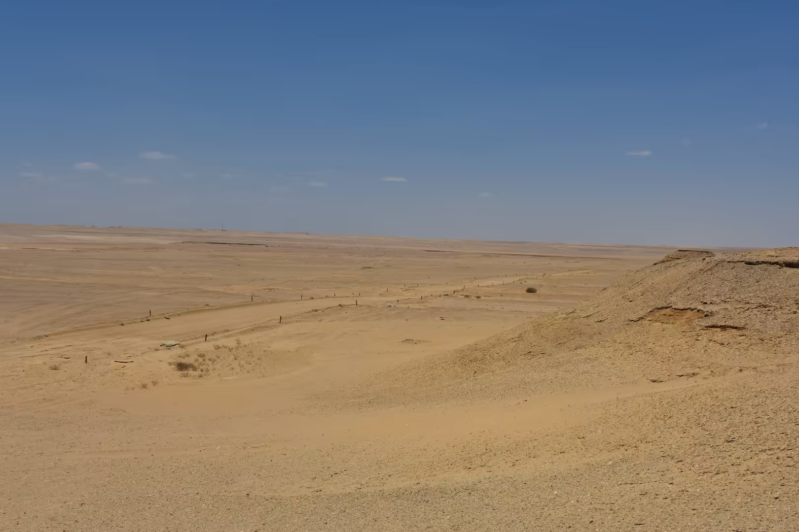
The Faiyum depression belongs to the chain of great hollows that punctuate the Western Desert of Egypt, and its origin is written in its shape: geologists regard it as a basin scoured out largely by wind erosion (deflation) through weak marine sediments, then flooded from the Nile. The lowest part of its floor, beneath the modern lake, lies more than forty metres below sea level, and Lake Qarun is simply the latest occupant of that hollow, an endorheic sump in which inflow is balanced against fierce evaporation. The rim of the basin is cut into the Eocene limestone plateau of the desert, and it is this escarpment country, above all along the lake’s northern shore, that gives the region its extraordinary geological exposures.
The northern shore is a staircase of fossil-bearing rocks laid down between roughly forty and thirty million years ago, when the region lay first on the southern margin of the Tethys Ocean and then on a tropical coastal plain. The lower steps belong to the Qasr el-Sagha Formation, lagoonal mudstones and shell limestones of the latest Eocene in which marine molluscs are packed by the thousand, the source of the white fossil shells that encrust the desert rocks of the escarpment. Above them rises the Jebel Qatrani Formation, a thick sequence of latest Eocene to Early Oligocene sandstones deposited by rivers running northward through subtropical forest and swamp. The formation is famous for its fossil wood zones and for a fauna of more than a dozen primate genera, the primitive elephants Phiomia and Moeritherium and the horned herbivore Arsinoitherium; the dark fragments of petrified wood scattered on the desert floor are the silicified remains of those Oligocene forests. The sequence is capped by the black basalts of the Widan el-Faras, the lava that ended the sedimentary story.
The same rocks record the sea that preceded the lake. South-west of the basin, in the country of Wadi el-Rayan and Wadi al-Hitan (the ‘Valley of the Whales’, a UNESCO World Heritage Site since 2005), the yellow marine sandstones of the Birket Qarun Formation and the mudstones of the Gehannam Formation, laid down in the open sea of the Middle Eocene some forty million years ago, hold the skeletons of the primitive whales Basilosaurus and Dorudon, with sea cows, crocodiles and sharks; interpretive signs at the region’s geosites describe this vanished water body for the visitor. The ancient shorelines of the lake itself are no less legible: around Dimeh, trenches dug in the nineteenth century to find the old water level, and the surveys of Caton-Thompson and Gardner, showed that the lake stood many metres higher when the shore towns were still alive.
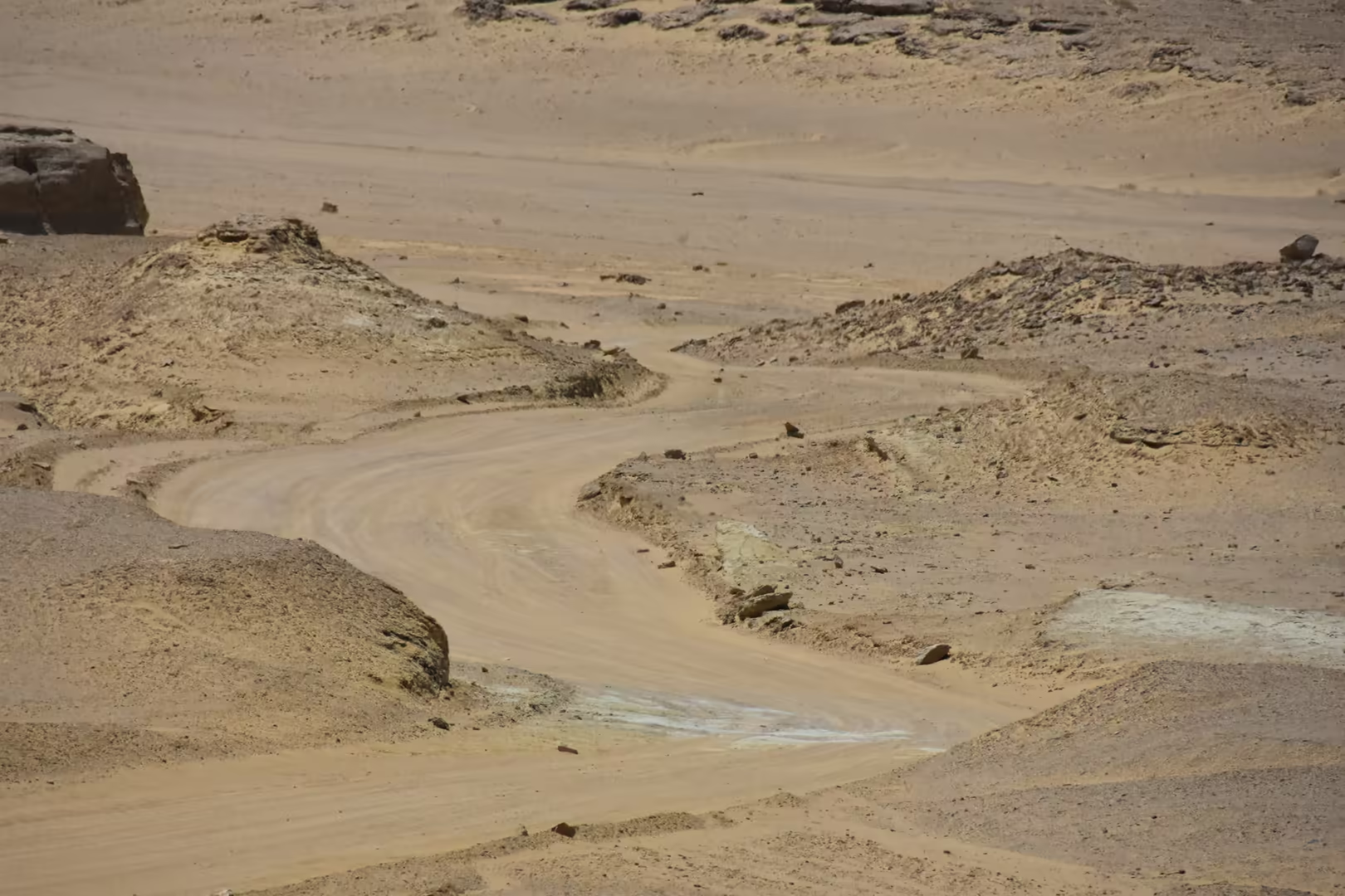
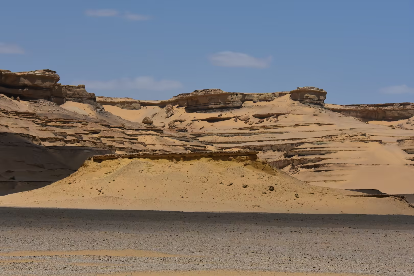
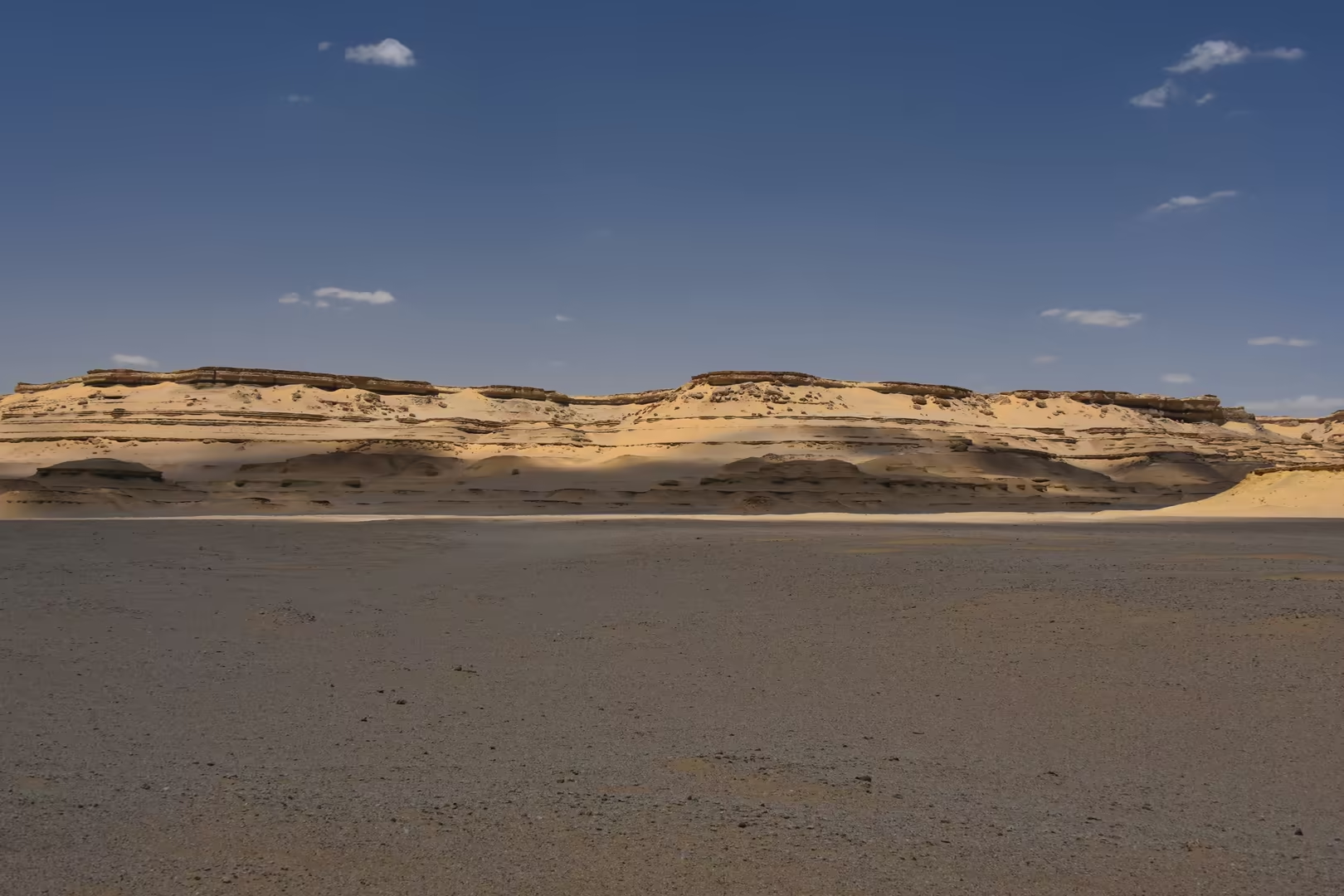
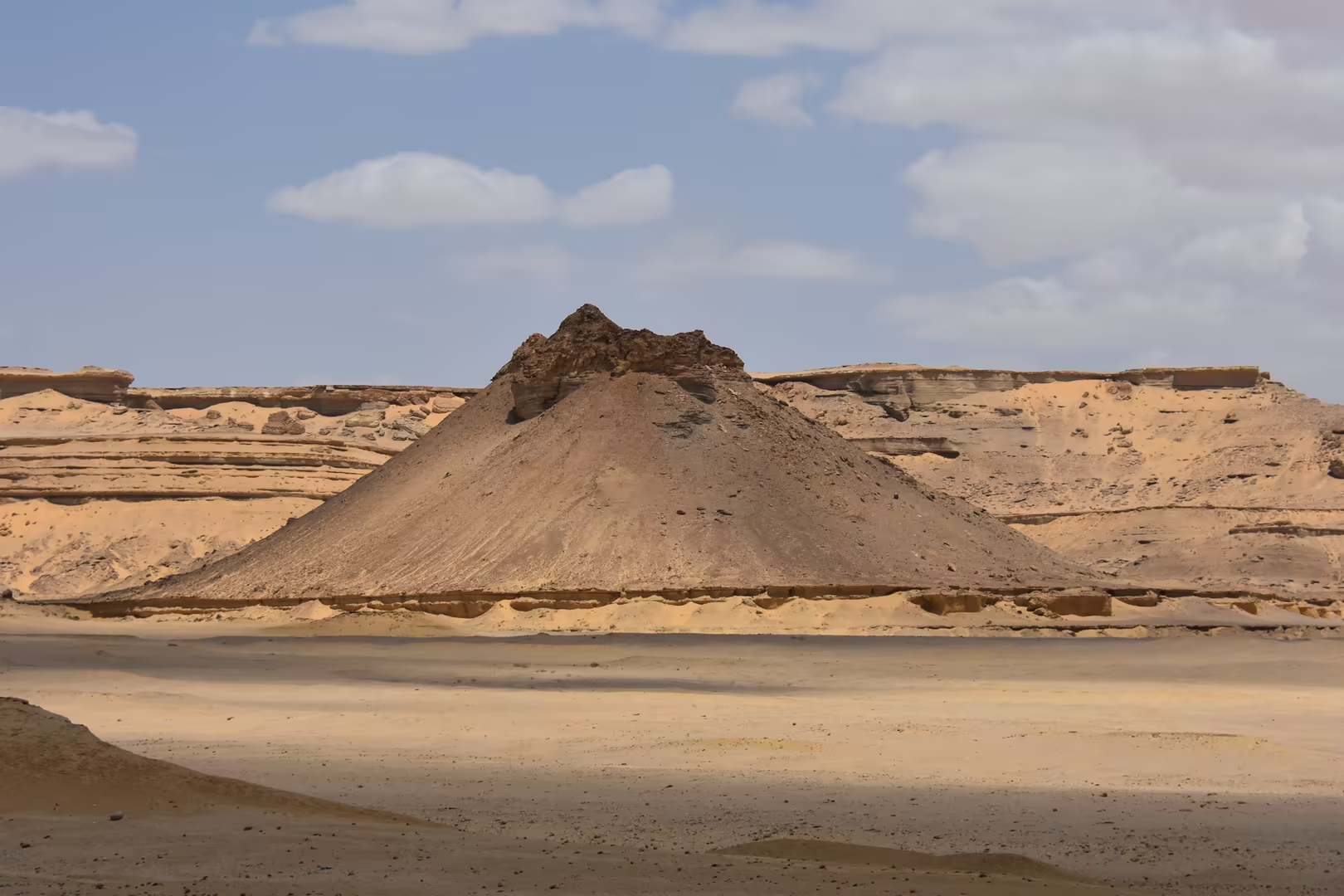
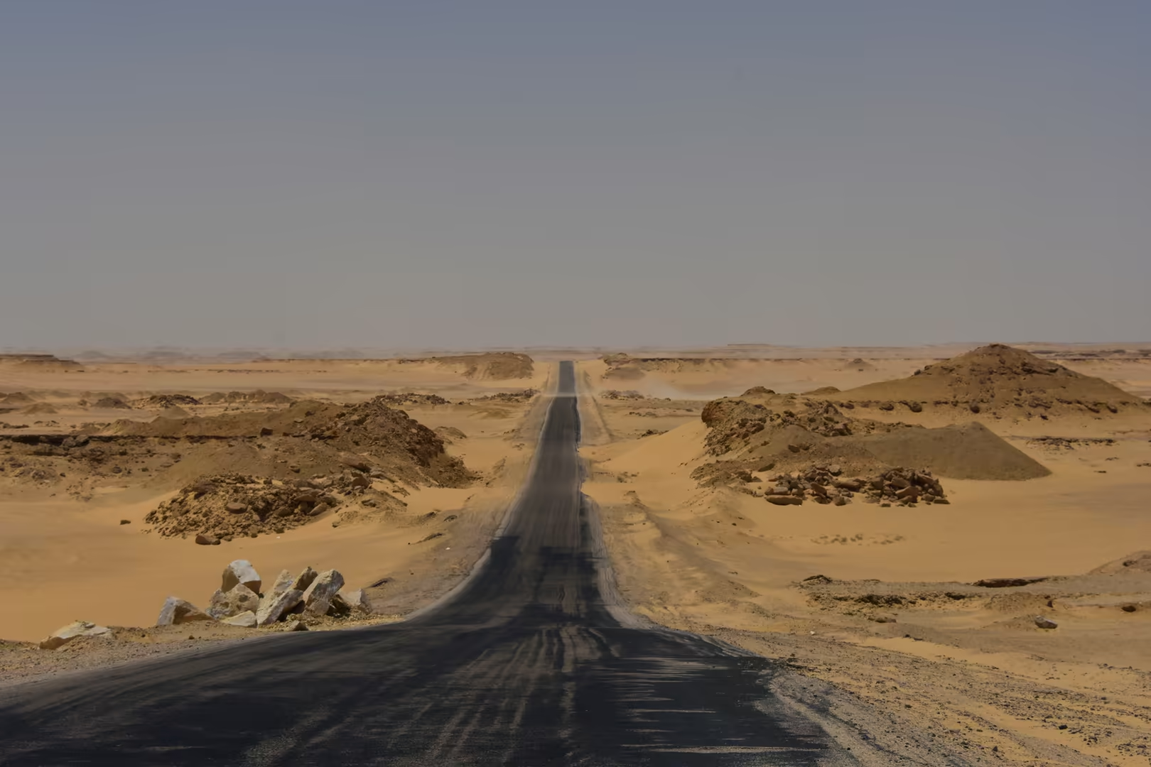
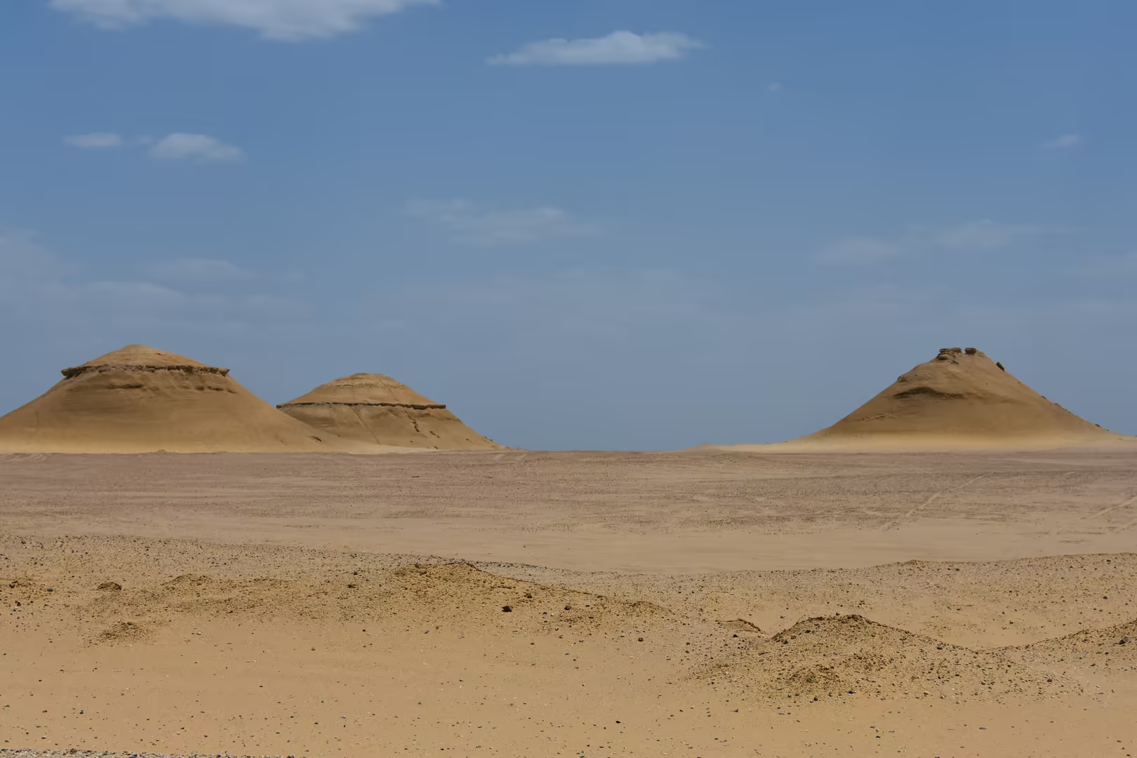
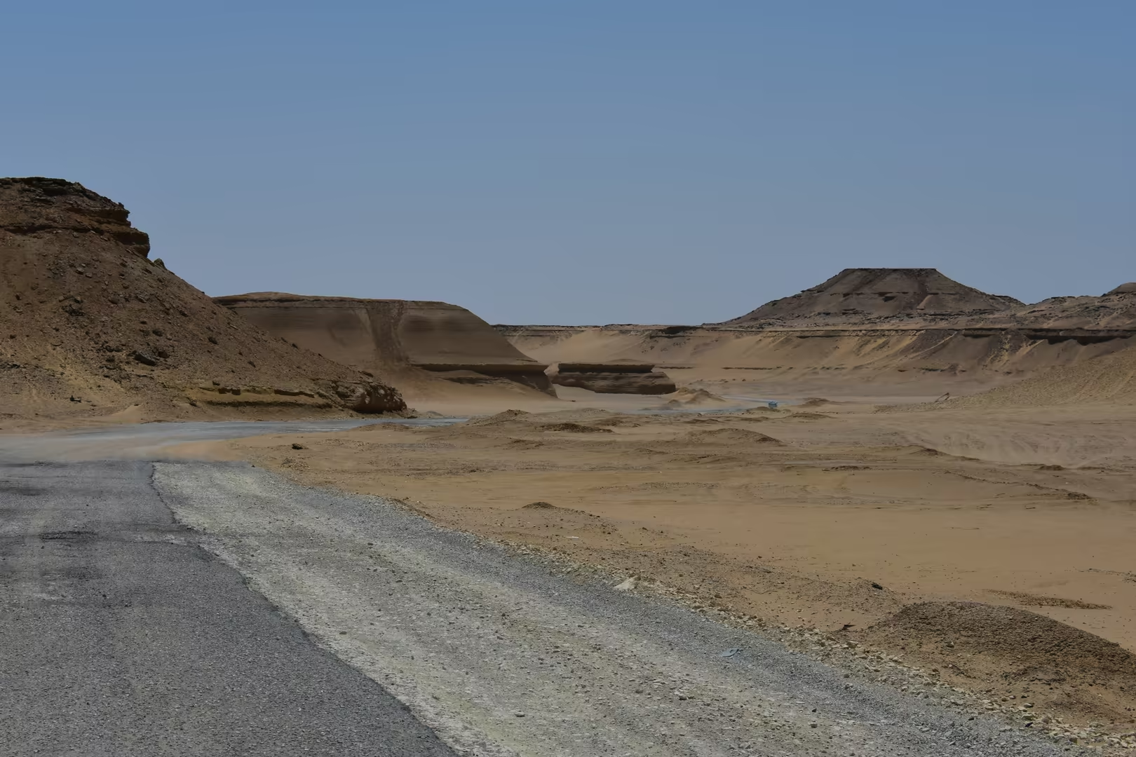
The present landscape is the work of wind and salt. The mesas, striped buttes and cone-shaped hills of the northern shore are sandstone masses carved by the prevailing wind into terraced, horizontally banded forms, their strata picked out in yellow, ochre and white, while in the hollows the wind has heaped the sand into the mobile, pyramid-shaped dunes that rise beside the desert roads. The lake itself is a geochemical system under pressure: since no river leaves it, every kilogram of salt brought in by the drainage water stays behind as the surface evaporates, and the salinity of Lake Qarun has risen through the twentieth century to several times that of seawater, transforming the lake’s biology and pushing its fisheries toward salt-tolerant species. Aridity preserves all these forms with extraordinary sharpness, and it is that clarity, the desert light of an Egyptian winter, that makes the geological record of the escarpment so plainly legible.
Things to See
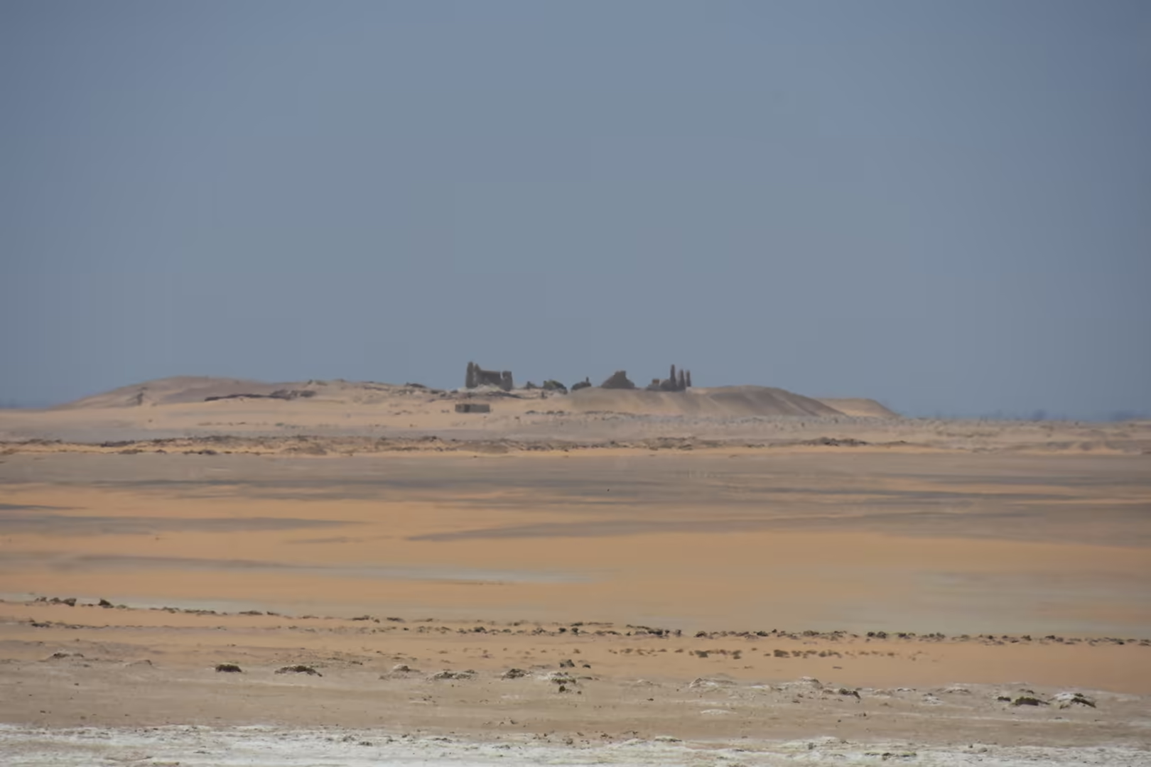
The desert margins of Lake Qarun preserve a remarkable series of ruined temple settlements. On the north, above the cultivated basin, stands Qasr el-Sagha, an unfinished Twelfth Dynasty temple of large sandstone blocks; the undecorated building, first described by Georg Schweinfurth in 1884 and surveyed soon afterwards by Flinders Petrie, has a broad hall with seven separate shrines, or naoi. Further east along the northern shore, the mud-brick temenos of Soknopaiou Nesos (Dimeh es-Seba) rises in places fifteen metres high above the sand; it was the sanctuary of the crocodile god Soknopaios, served by a hereditary priesthood of more than a hundred men until the town was abandoned in the third century AD. On the south-western shore stands the sandstone temple of Qasr Qarun, the ancient Dionysias, occupied from the late fourth century BC into the seventh century AD; dedicated first to Sobek and later associated with Dionysus, the sanctuary is famous for the solar alignment by which the sun illuminates its inner sanctum on 21 December.
The escarpment behind these ruins is one of the great fossil grounds of Egypt. Along the northern shore the desert floor is strewn with dark fragments of petrified wood, the silicified remains of the subtropical forests that covered the region some thirty million years ago; the same beds have yielded the famous primate fossils of the Jebel Qatrani Formation. The older rocks below, the lagoonal limestones of the Qasr el-Sagha Formation, are packed with the white shells of a late Eocene sea, and weathered boulders beside the tracks stand thick with them. Interpretive panels at the signed viewpoints explain the vanished landscapes, while the wind has sculpted the sandstone into mesas, striped buttes and cone-shaped hills and heaped the sand into pyramid-shaped dunes.
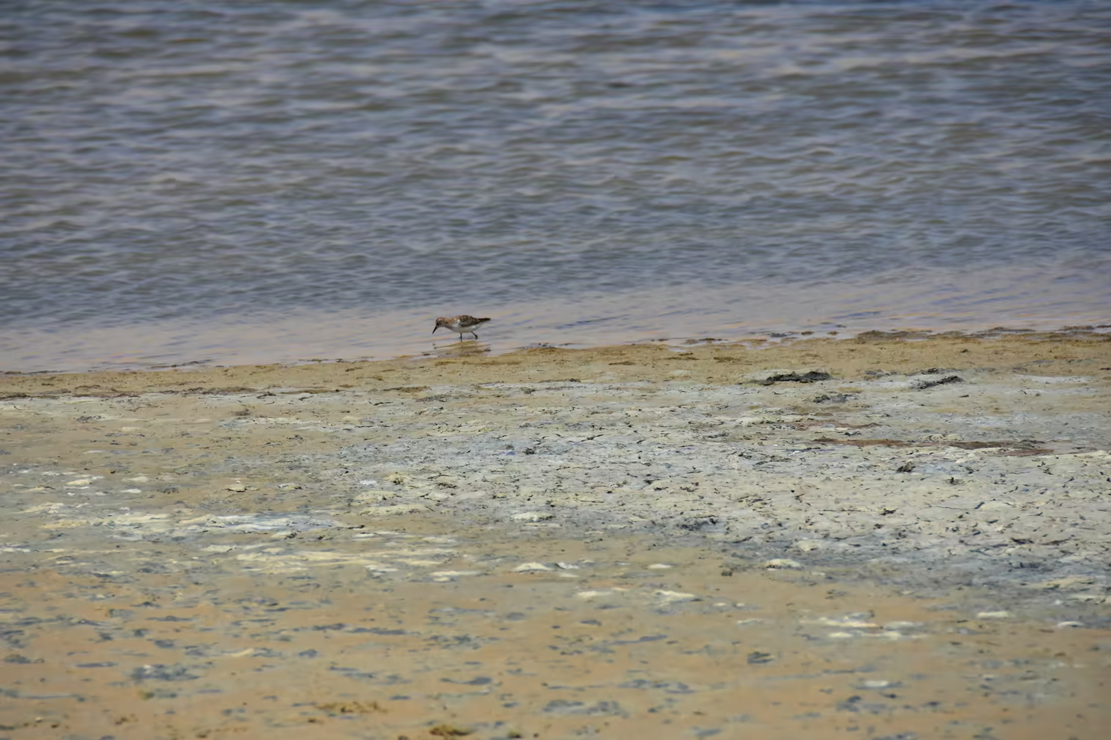
The lake shore itself is the great birdwatching ground of the region. Plovers work the sandy banks, long-legged waders ford the shallows and other water birds rest along the water’s edge, while the open water carries grebes and terns and, in winter, flocks of ducks. Nearly ninety species of water bird breed, feed or winter on the lake, which with its shores forms the Lake Qarun Protected Area, a Ramsar site since 2012; the shallow saline water and the quiet of the shore make the bank a place where walkers share the water’s edge with the birds.
The pyramids of Giza rise at the desert edge of the west bank, above the built-up quarters of the district; from the ring roads and the hotel quarter they close the horizon of the city. The complex dates from the Fourth Dynasty, between about 2600 and 2500 BC, and together with its temples, cemeteries and the Great Sphinx it forms part of the World Heritage property ‘Memphis and its Necropolis’, inscribed in 1979. The Great Pyramid of Khufu is the largest of the three and was long the tallest structure on earth; a band of its fine white Tura limestone casing survives at the base, and the dismantled royal ship recovered from a pit beside the pyramid is now displayed at the Grand Egyptian Museum. Khafre’s pyramid, slightly smaller, preserves casing near its apex, and Menkaure’s is smaller again; the Great Sphinx, the oldest known monumental sculpture of Egypt, was hewn from the limestone bedrock of the plateau.
Close to the plateau stands the Grand Egyptian Museum, opened on 1 November 2025 as the largest museum in the world devoted to a single civilisation. The chamfered triangular building, fronted by a translucent alabaster facade, houses more than 100,000 artefacts from the Predynastic period to Roman Egypt; twelve main galleries lead to the complete collection of Tutankhamun, more than five thousand objects shown together for the first time, and the restored second solar boat of Khufu is displayed close to the pyramid for which it was built.
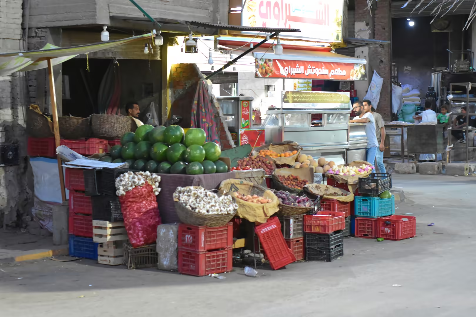
Giza, a governorate capital and part of the Greater Cairo conurbation, stretches between the Nile and the pyramid plateau. At its desert edge a war memorial of the October 1973 War stands beside the highway: a battle tank raised on a stone pedestal beneath a tall obelisk. The hotels of the district line the avenue toward the plateau, with garden courtyards and pools looking out over the monuments, and the evening commerce of the streets, from fruit stalls to street kitchens, keeps the inner quarters alive long after dark.
References
- Caton-Thompson, G., & Gardner, E. W. (1934). The Desert Fayum. London: Royal Anthropological Institute of Great Britain and Ireland.
- Hewison, R. N. (2008). The Fayoum: History and Guide (rev. ed.). Cairo: American University in Cairo Press.
- Said, R. (1990). The Geology of Egypt. Rotterdam: A. A. Balkema.
- Bagnall, R. S., & Rathbone, D. W. (eds) (2004). Egypt from Alexander to the Copts: An Archaeological and Historical Guide. London: British Museum Press.
- Egyptian Environmental Affairs Agency (2026). Natural Protectorates of Egypt. www.eeaa.gov.eg/en/topics/nature/protectorates
- UNESCO World Heritage Centre (2005). Wadi Al-Hitan (Whale Valley), ref. 1186. whc.unesco.org/en/list/1186/
- Wikipedia contributors (2026). Lake Moeris. en.wikipedia.org/wiki/Lake_Moeris
- Wikipedia contributors (2026). Faiyum. en.wikipedia.org/wiki/Faiyum
- Wikipedia contributors (2026). Bahr Yussef. en.wikipedia.org/wiki/Bahr_Yussef
- Wikipedia contributors (2026). Soknopaiou Nesos. en.wikipedia.org/wiki/Soknopaiou_Nesos
- Wikipedia contributors (2026). Qasr Qarun. en.wikipedia.org/wiki/Qasr_Qarun
- Wikipedia contributors (2026). Qasr el-Sagha. de.wikipedia.org/wiki/Qasr_el-Sagha
- Wikipedia contributors (2026). Wadi El Rayan. en.wikipedia.org/wiki/Wadi_El_Rayan
- Wikipedia contributors (2026). Wadi al Hitan. en.wikipedia.org/wiki/Wadi_al_Hitan
- Wikipedia contributors (2026). Jebel Qatrani Formation. en.wikipedia.org/wiki/Jebel_Qatrani_Formation
- Wikipedia contributors (2026). Grand Egyptian Museum. en.wikipedia.org/wiki/Grand_Egyptian_Museum
- Wikipedia contributors (2026). Giza pyramid complex. en.wikipedia.org/wiki/Giza_pyramid_complex