Day 6 - Lake Qarun




Journal Notes
General
Lake Qarun (Birket Qarun in Arabic) is a natural salt lake occupying the northern and lowest part of the Faiyum depression, about eighty kilometres south-west of Cairo and some forty-three metres below sea level. Roughly forty kilometres long from east to west and only a few kilometres wide, it is the shrunken survivor of the great freshwater Lake Moeris of antiquity and one of Egypt’s largest natural lakes, commonly described as the third largest. Its waters, today markedly more saline than the sea, are fed by the agricultural drainage of the whole oasis, which reaches the depression through the Bahr Yussef canal system from the Nile at Lahun, and are lost only to evaporation; the lake’s shores divide the green fields of the Faiyum from the bare desert of the northern escarpment, whose cliffs rise close to the water’s edge.
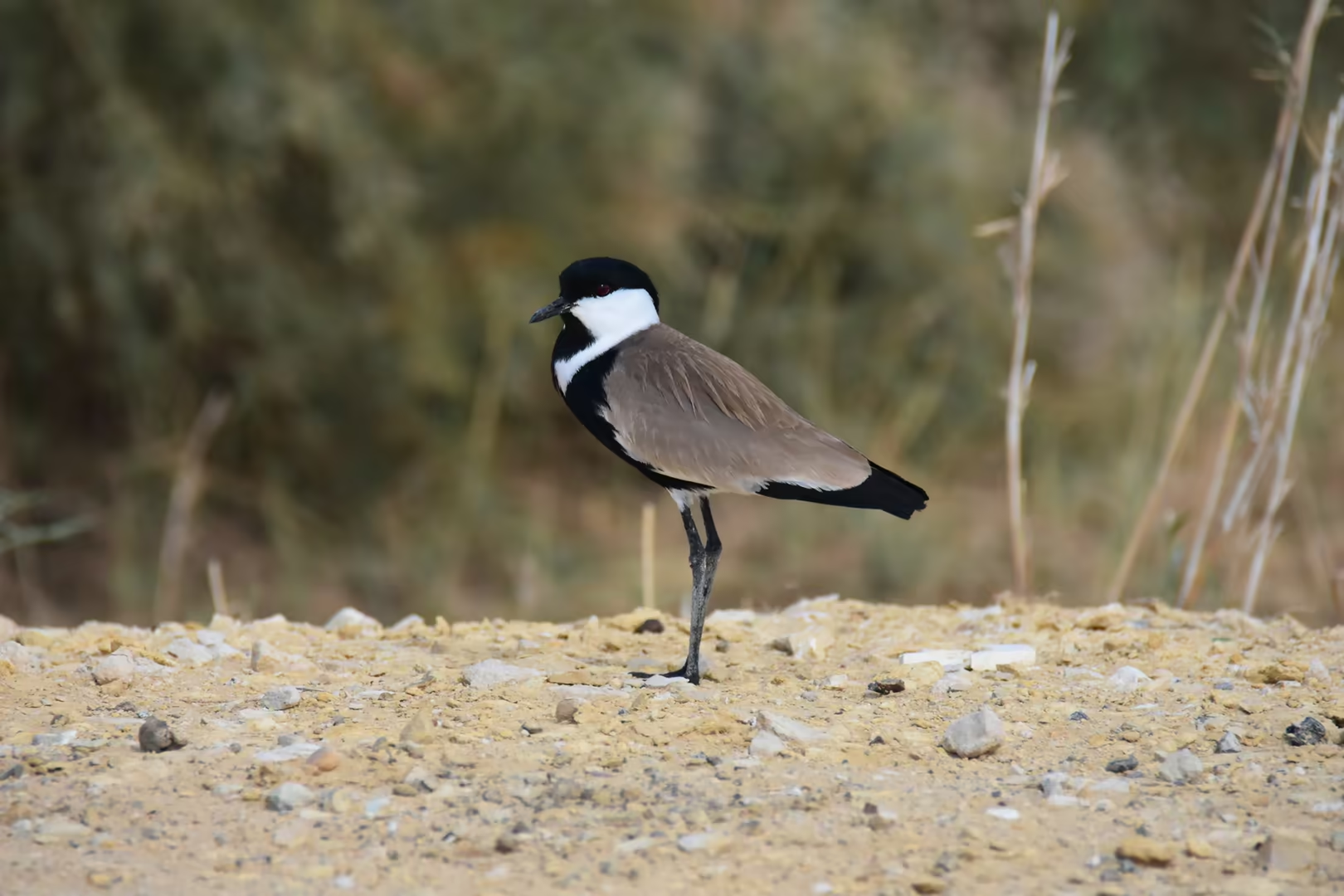
Because the lake has no outlet, the salts brought in by the drainage water accumulate, and most of the original freshwater fish have given way to stocked marine species (mullet, sole, sea bass and sea bream), which support a commercial fishery that peaked at some 4,500 tonnes in 2014 before declining sharply. The lake and its shores are protected as the Qarun Lake Protected Area and, since 2012, as a Ramsar site of international importance: nearly ninety species of water bird breed or winter on its waters, among them plovers, pratincoles, terns, grebes, egrets and large flocks of Eurasian ducks.
The lake forms the natural northern boundary of the cultivated oasis: on its southern and eastern shores the irrigated fields and settlements of the Faiyum reach almost to the water, while the northern shore is bare desert, where the escarpment meets the lake and only ruins, tracks and wind-carved rock line the water’s edge. Because the lake is the sump of the oasis, receiving the drainage water of all its farmland, its future is bound up with the agriculture around it, and the balance between farming, fishing and conservation shapes the management of the whole depression. The climate of the region is hyper-arid, with rainless summers, mild winters and intense evaporation, and it is this winter mildness, together with the open water in an otherwise dry landscape, that makes the lake a resting place for migratory birds and a quiet refuge from the heat and noise of the capital.
History
The history of Lake Qarun is the history of the Faiyum. The depression is a natural basin in the desert west of the Nile, and for most of prehistory it lay dry; only when the river’s silt had raised its valley floor did Nile floodwater spill across the low divide at Lahun and fill the basin. The great lake that resulted, called Lake Moeris by the Greeks from the Egyptian mr-wr, ‘the great canal’, covered at its maximum an area estimated at between 1,270 and 1,700 square kilometres, several times the size of the present lake. Along its northern shore, the Epipalaeolithic and Neolithic communities studied by Gertrude Caton-Thompson and Elinor Wight Gardner left some of the earliest farming evidence known in Egypt.
The shores of the lake were sacred from early times: at Shedet, on the south-eastern shore, stood a chief cult centre of the crocodile god Sobek, the city the Greeks called Crocodilopolis, where the sacred crocodile Petsuchos was kept in a temple pool, adorned with gold and fed by the priests. The decisive transformation came in the Twelfth Dynasty, when the court moved to its new capital at Itjtawy and the kings turned the Faiyum, the ‘Land of the Lake’, into a royal domain. Senusret II began the irrigation and reclamation of the lake margins and built his pyramid at El Lahun, at the mouth of the depression; the town’s ancient name, Ra-hanet, ‘mouth of the canal’, recalls the waterway that fed it. Amenemhat III, the last powerful ruler of the dynasty and a devotee of Sobek, completed the works, deepening the channel known today as the Bahr Yussef and pushing the fields out into the bed of the old lake.
At Hawara, at the southern edge of the reclaimed land, Amenemhat III raised his pyramid of mud-brick and limestone, explored by Flinders Petrie, who found its burial chamber hewn from a single quartzite monolith. Beside it rose a vast mortuary temple of galleries and courtyards that classical visitors knew as the Labyrinth; Herodotus, who saw it in the fifth century BC, judged it greater than the pyramids themselves. Because the Egyptian waterworks were so extensive, the Greeks believed the whole lake to be an artificial excavation, a misunderstanding that coloured every classical account, and the king who had shaped the basin entered tradition as ‘Moeris’, the legendary maker of the lake.
Under the Ptolemies the exploitation of the Faiyum was carried furthest. Ptolemy II Philadelphus renewed the irrigation works and placed a dam on the Bahr Yussef to regulate the Nile inflow; he renamed Crocodilopolis ‘Arsinoe’, after his sister-queen, and founded new settlements, among them Philadelphia, whose streets, baths and theatre are known in extraordinary detail from the papyrus archive of its administrator Zenon. The dam, however, sealed the lake’s fate: checked at its source, Lake Moeris began the slow evaporative shrinkage that has continued ever since, exposing rich soils that made the Arsinoite nome one of the granaries of the Ptolemaic and Roman world. When imperial maintenance lapsed in late antiquity the shore settlements decayed, and by the Middle Ages (the time of the detailed provincial survey of Ibn al-Nābulusī, about 1245) only the interior of the oasis remained in cultivation.
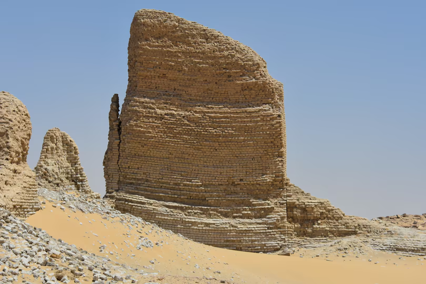
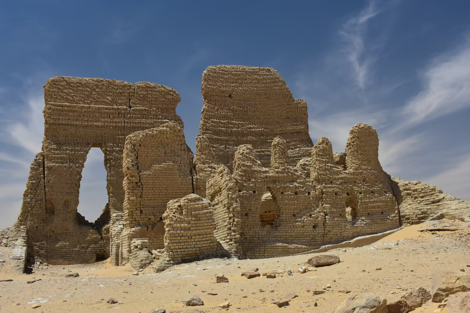
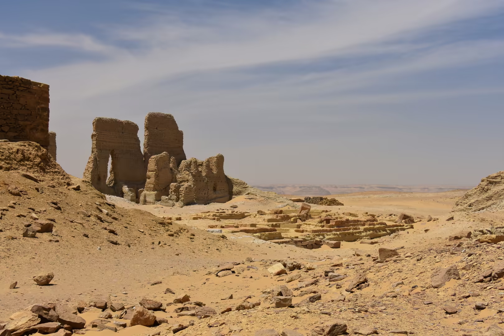
Among those abandoned shore settlements, Soknopaiou Nesos (Dimeh es-Seba) stood on the desert plateau above the northern shore, far from the arable land, and was for most of its existence a town of priests: the temple of Soknopaios, ‘Sobek, lord of Pai’, counted well over one hundred clergy in Roman times, serving a settlement of barely a thousand inhabitants. The town flourished from the third century BC until about AD 230, when it was abandoned; its papyri, dug out from the late nineteenth century onward, made it famous in Europe, and its great mud-brick temenos still rises, in places fifteen metres high, above the sand. The Soknopaiou Nesos Project of the University of Salento has worked at Dimeh since 2004; further east along the shore, the larger Greco-Roman town of Karanis was excavated by the University of Michigan in the 1920s and 1930s.
Geology
The Faiyum depression is a basin hollowed from the limestone plateau of the Western Desert. Its origin was long debated; the consensus today is that wind erosion (deflation by the desert winds working on the rock over millions of years) was the principal agent that lowered the basin, which the Nile flood later entered through the gap at Lahun. The floor of the depression lies below sea level, and Lake Qarun occupies its lowest part, its surface some forty-three metres beneath the level of the sea more than three hundred kilometres to the north. The lake has no outlet: it is the sump of the oasis, receiving some 400 million cubic metres a year of agricultural drainage water and losing water only by evaporation.
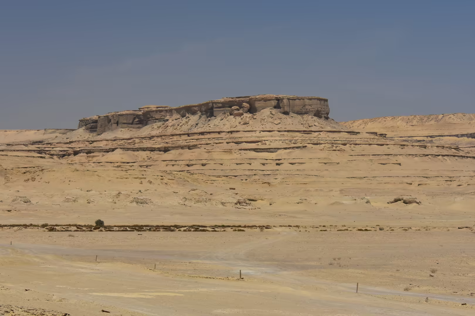
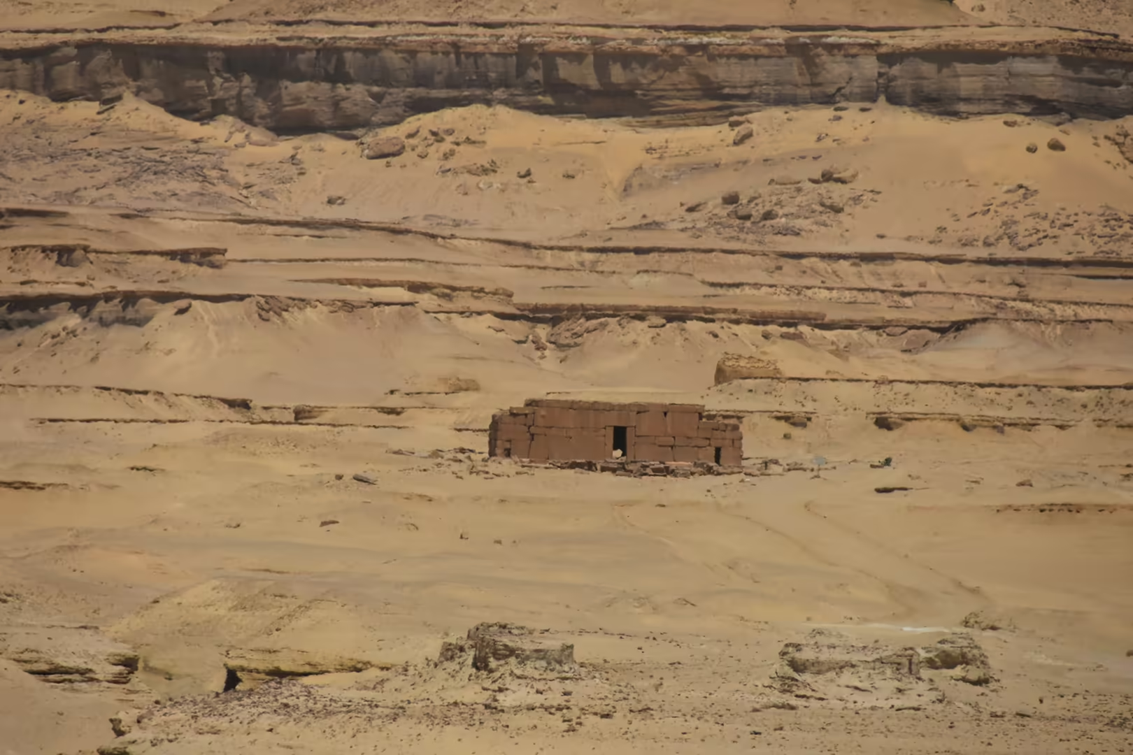
The northern shore of the lake is formed by the Gebel Qatrani escarpment, one of the most celebrated fossil localities on Earth. Its cliffs expose the Jebel Qatrani Formation, a sequence of fluvial sandstones and mudstones of the latest Eocene and Oligocene, roughly 37 to 30 million years old, resting on the lagoonal mudstones and shelly limestones of the Eocene Qasr el-Sagha Formation and capped by the lavas of the Widan el Faras basalt. The formation’s two fossil-bearing sequences record a subtropical lowland of rivers and swamps: fish, crocodiles, turtles, early flamingos and other water birds, and above all the primates (Aegyptopithecus and its relatives among the propliopithecids and parapithecids) that make the Faiyum one of the world’s richest sources of early anthropoid fossils.
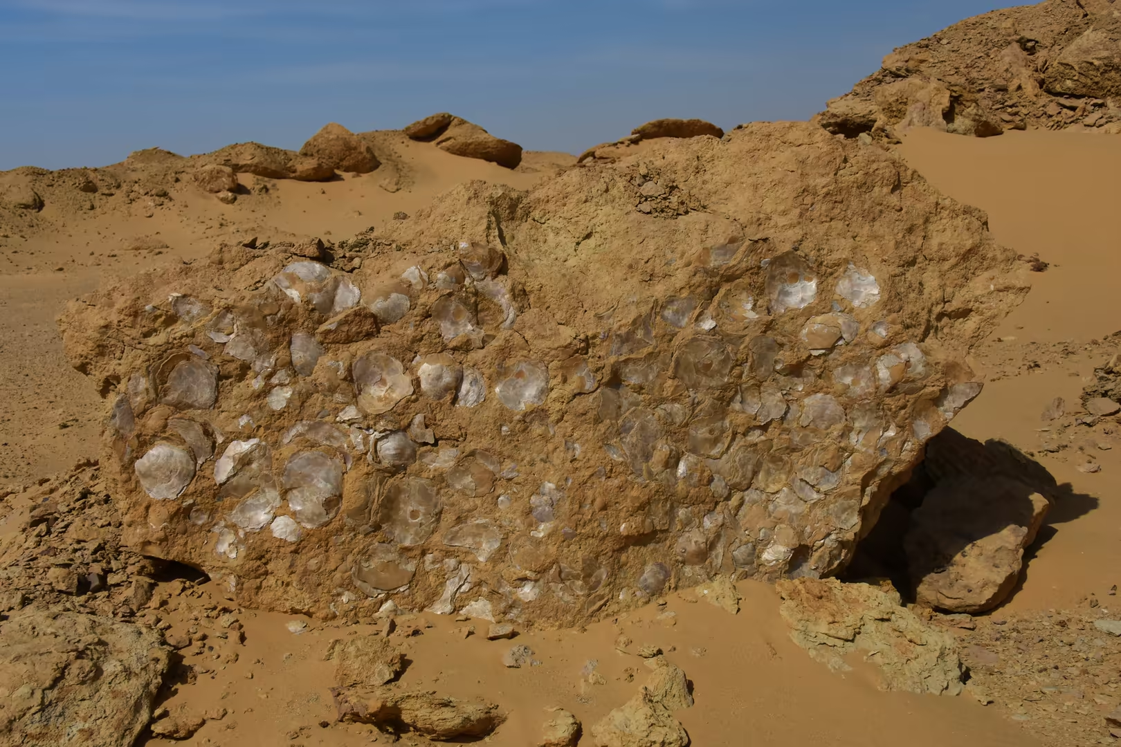
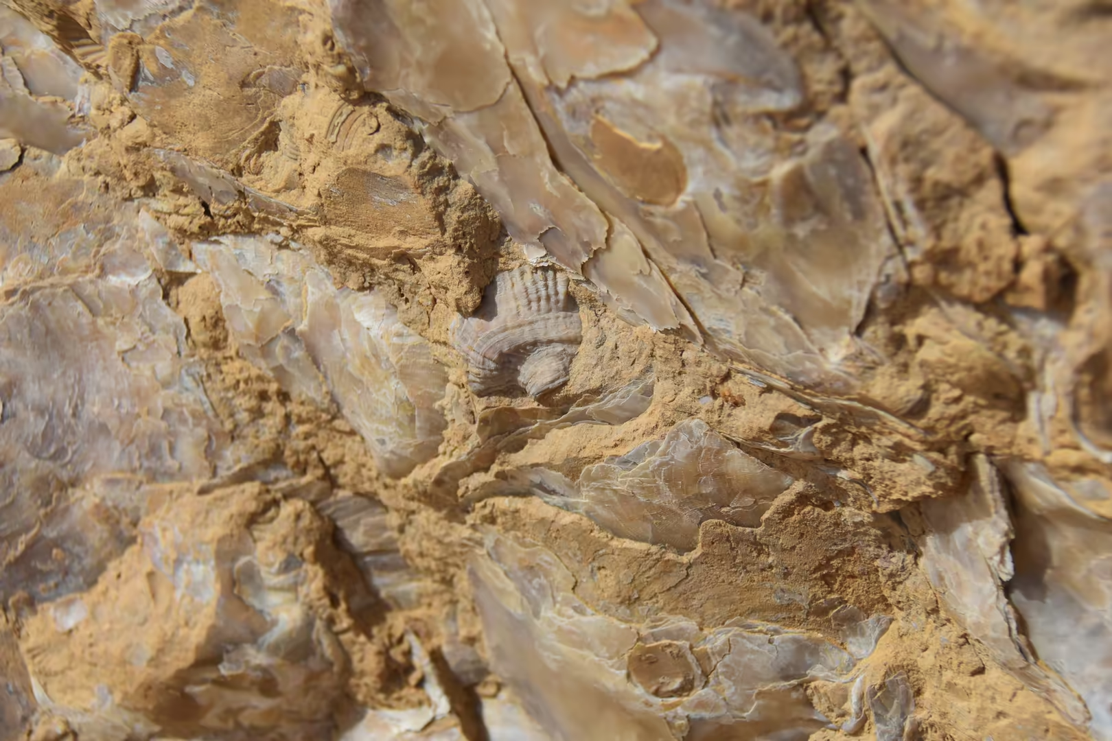
The rocks around the lake are older still, and marine. The Middle and Late Eocene strata record the warm sea that covered northern Egypt some forty million years ago: the mudstones of the Gehannam Formation, dated to 40-41 million years, pass upward into the open-marine sandstones of the Birket Qarun Formation and the lagoonal limestones of the Qasr el-Sagha Formation, the beds that have made the region famous. In Wadi al-Hitan, the ‘Valley of the Whales’, south-west of the lake, they have yielded more than a thousand fossil skeletons of the primitive whales Basilosaurus and Dorudon, together with sea cows, sharks, sawfish, turtles and crocodiles; the valley, a UNESCO World Heritage property since 2005, is the most important site in the world for the study of whale evolution. Disc-shaped nummulite fossils coat the desert floor in places, and the translucent shells visible in the weathered stones of the desert belong to the same ancient seabed.
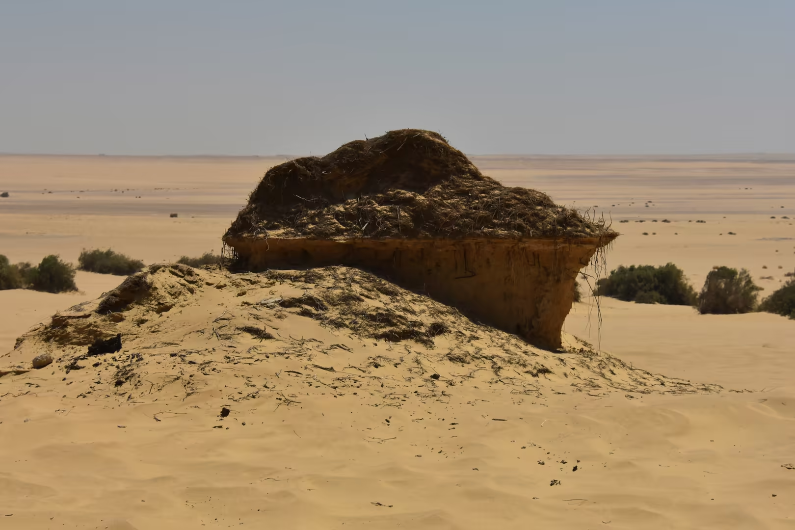
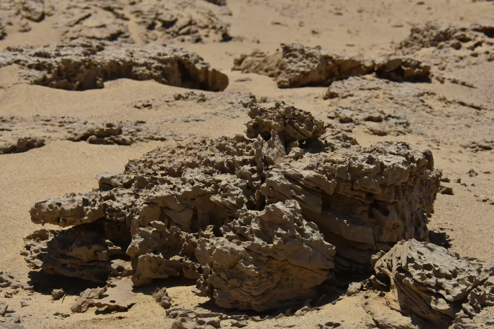
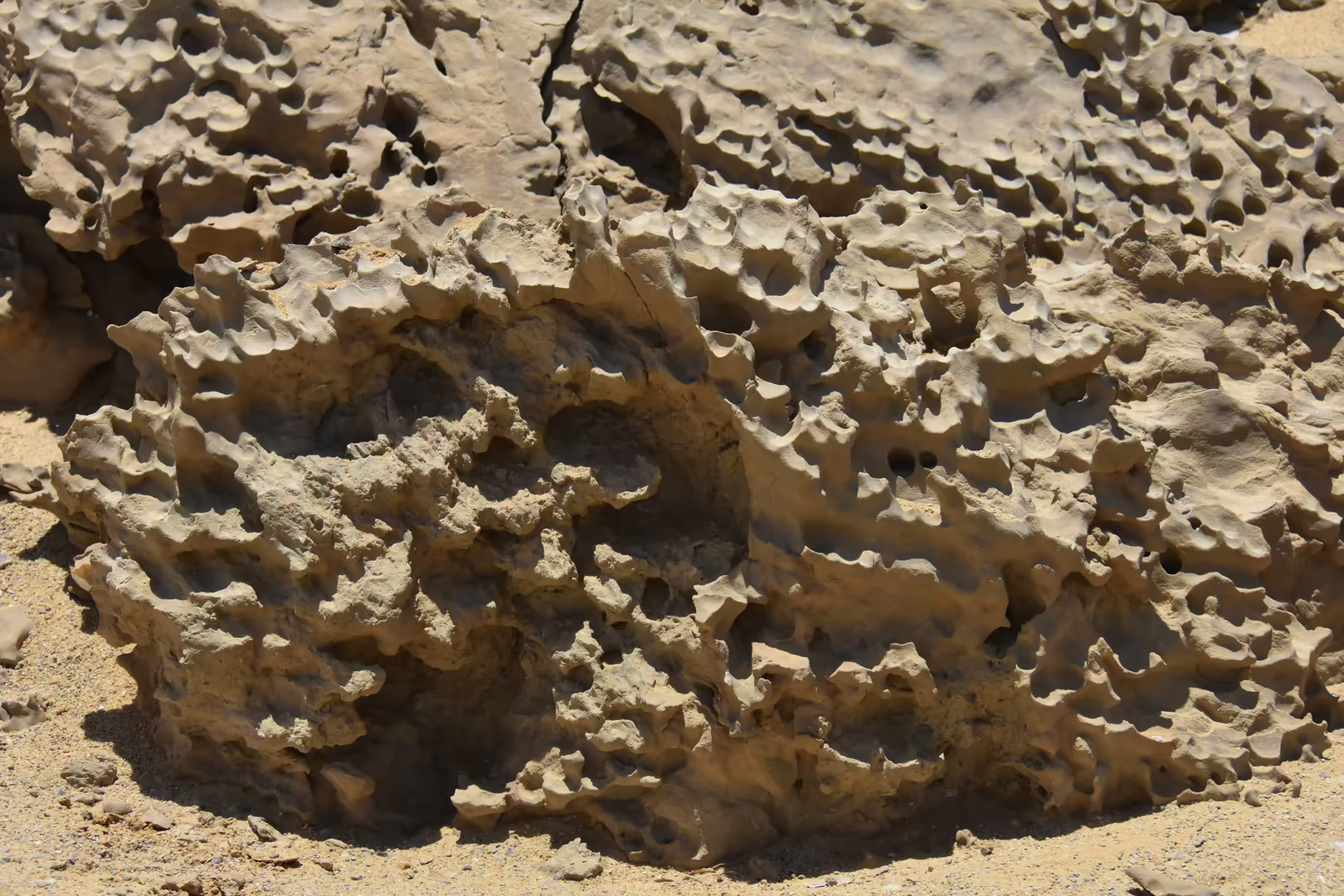
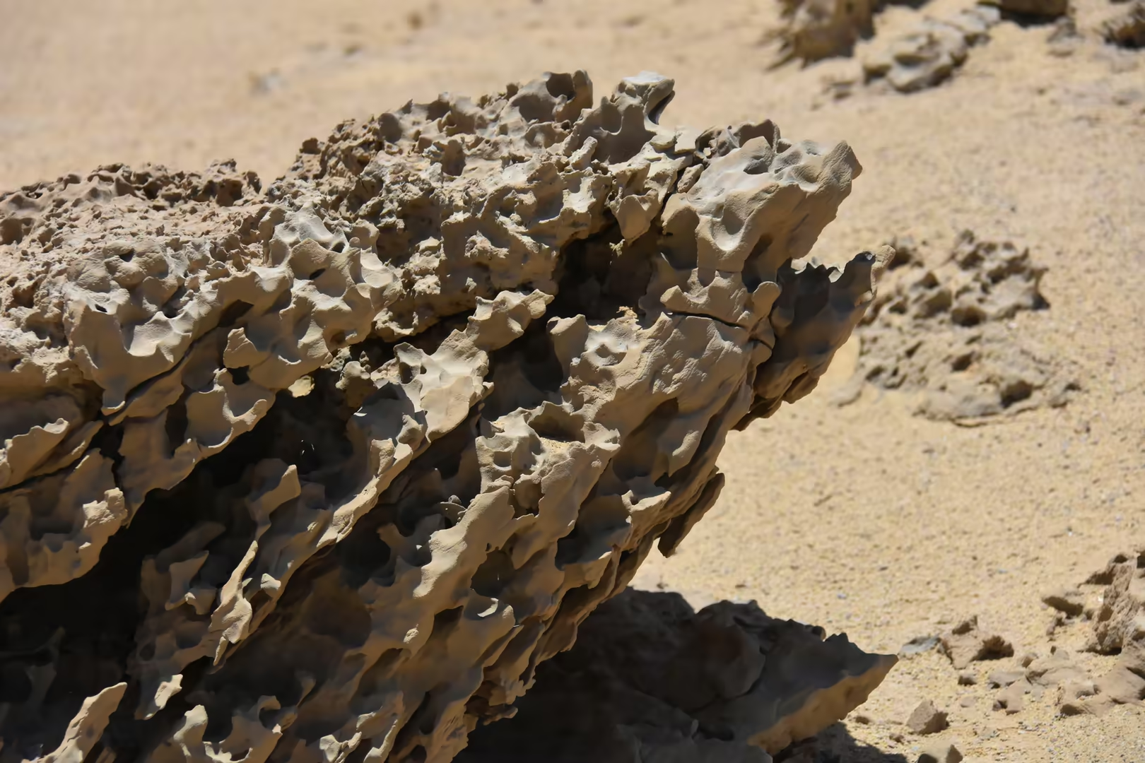
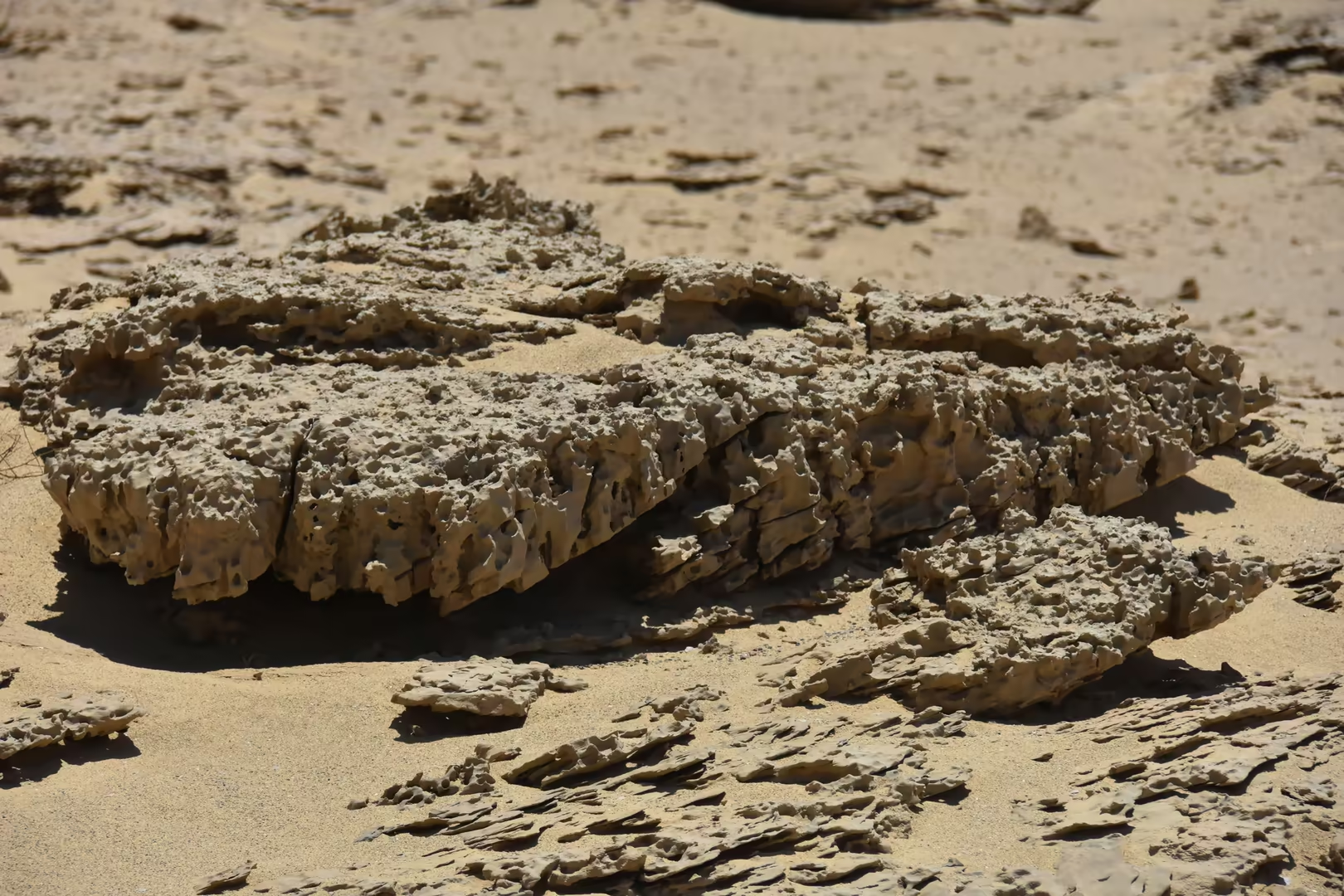
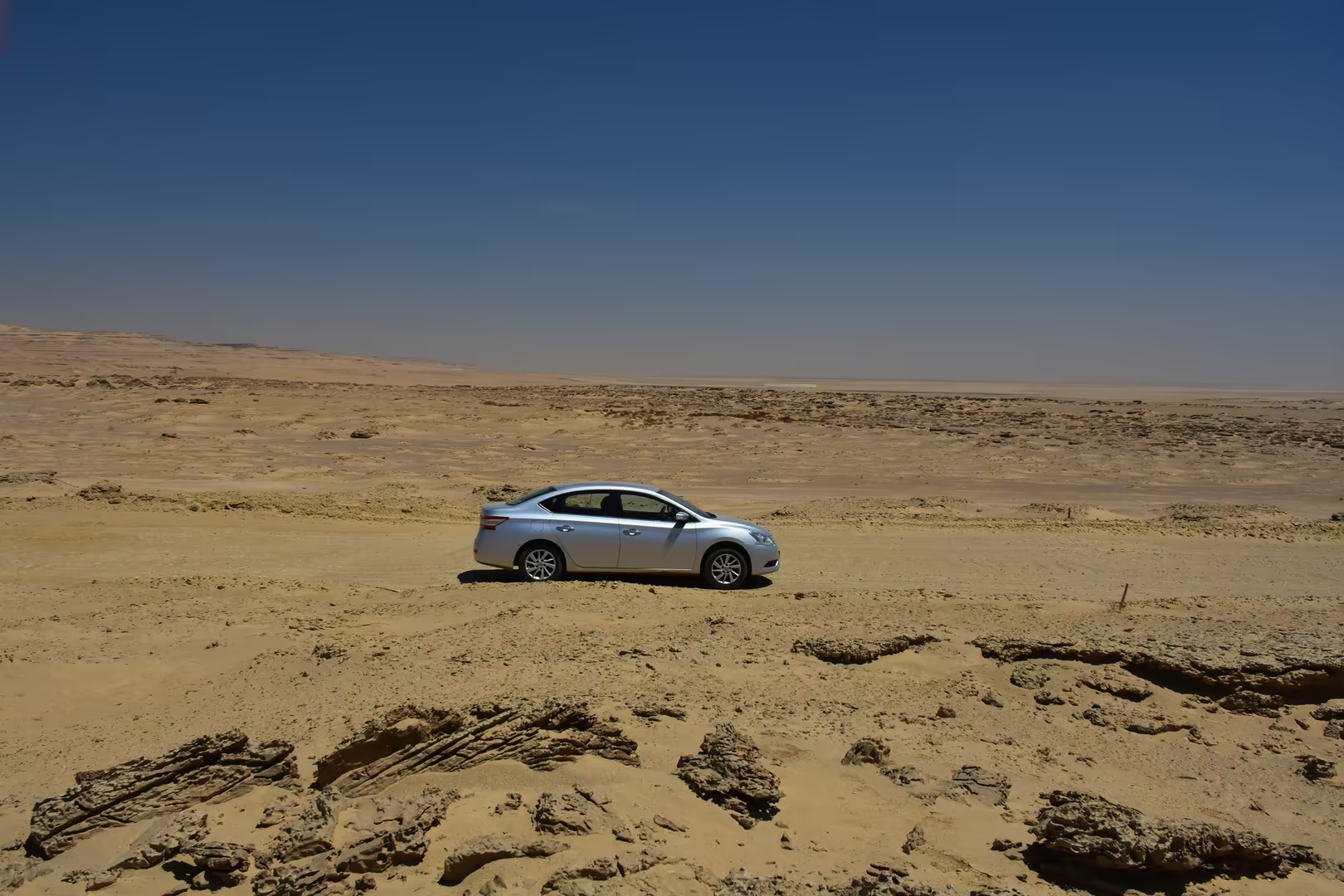
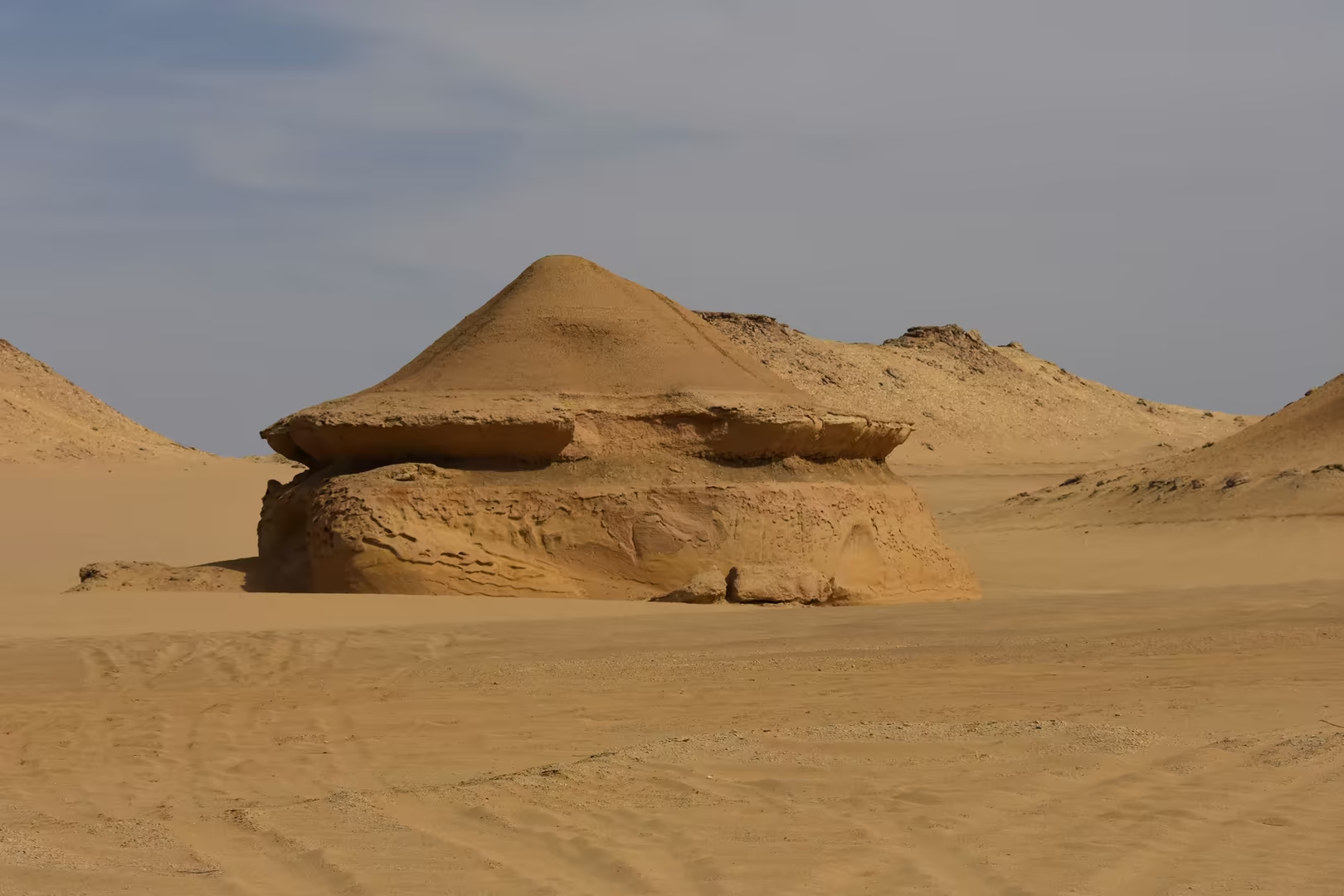
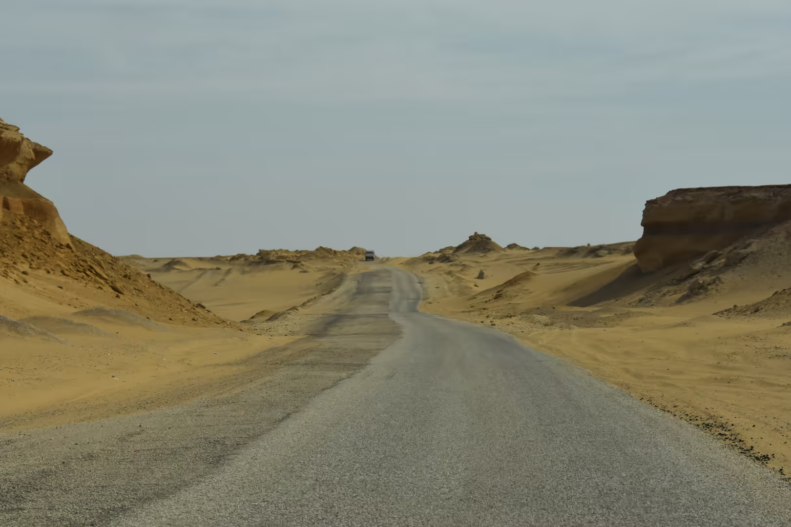
Water and salt continue to shape the lake today. Because evaporation far exceeds the modest rainfall of this hyper-arid climate, salts accumulate: analyses record salinities rising from about 10.5 grams per litre in 1906 to nearly 43 grams per litre at the end of the century, and fluctuating since between roughly 30 and 42 grams per litre, at or above the salinity of the open sea. The rising salt load has eliminated most freshwater organisms and pushed the fishery towards introduced marine species; together with nutrient-rich drainage water it also makes the shallow lake, whose mean depth barely reaches four metres, increasingly eutrophic, and the management of its water and salt balance is now a central question for the future of the Faiyum. The wind, meanwhile, still works on the desert shore: the pitted, honeycombed and mushroom-shaped rocks along the desert roads of the northern shore are tafoni and ventifacts carved from the Eocene sandstones.
Things to See
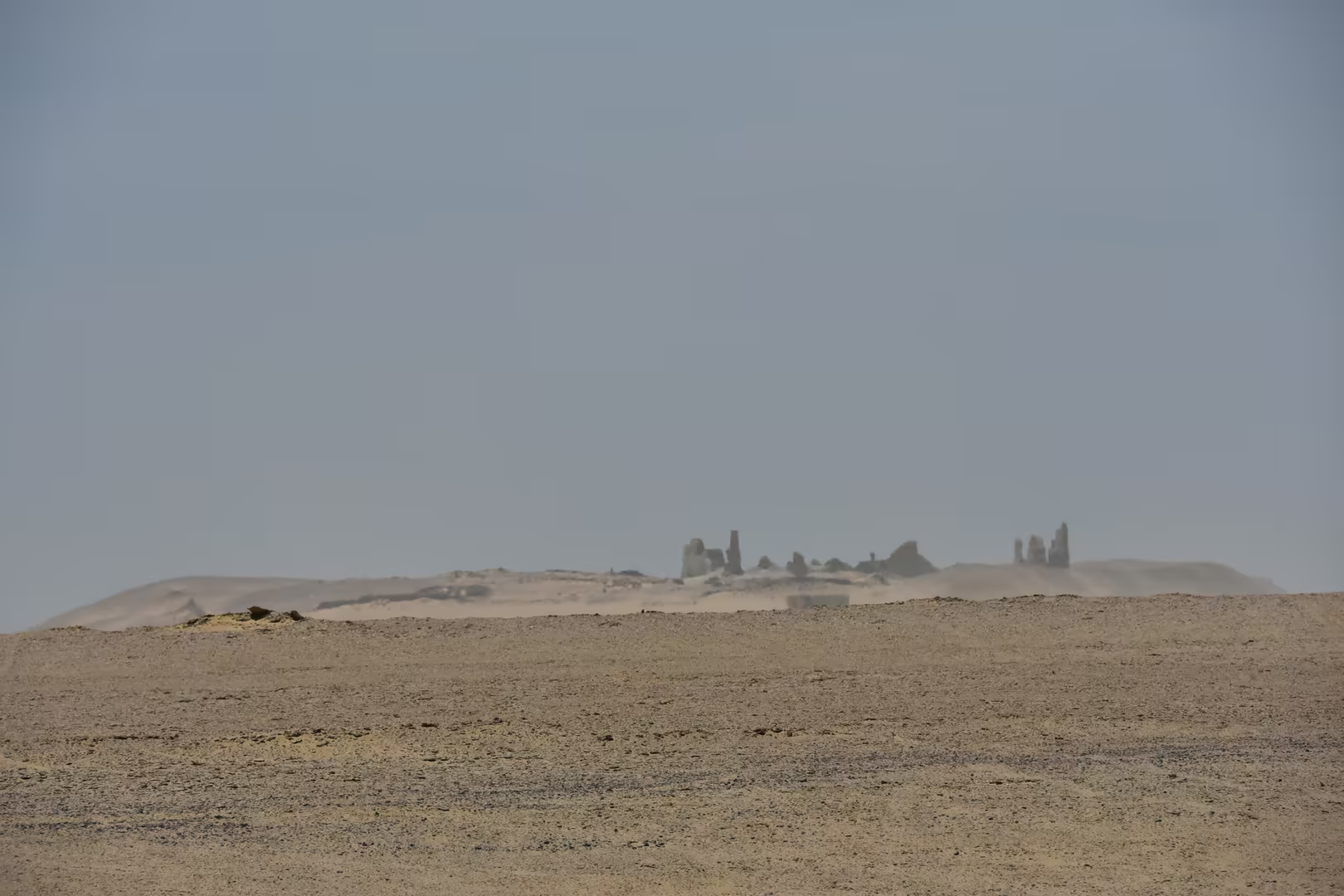
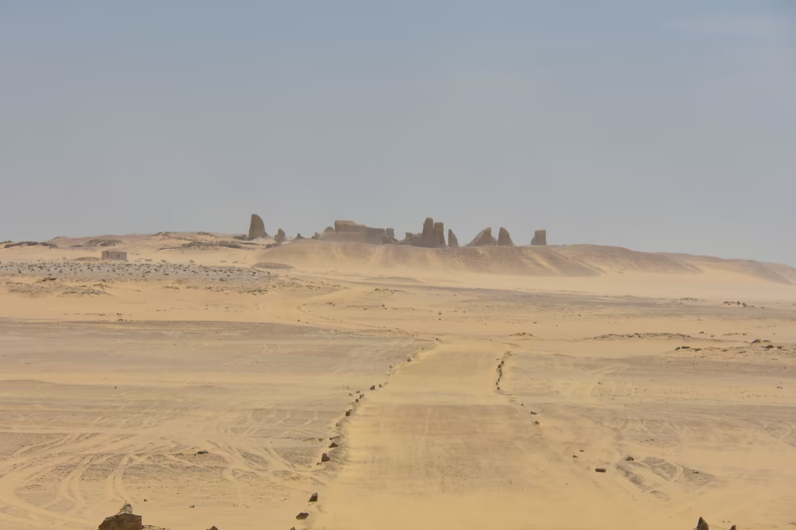
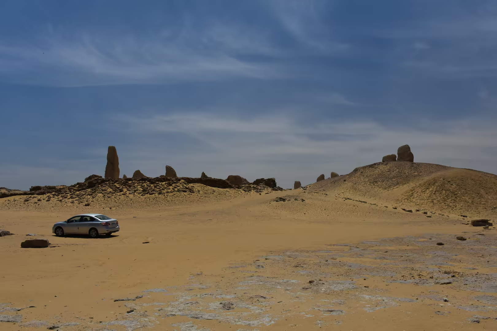
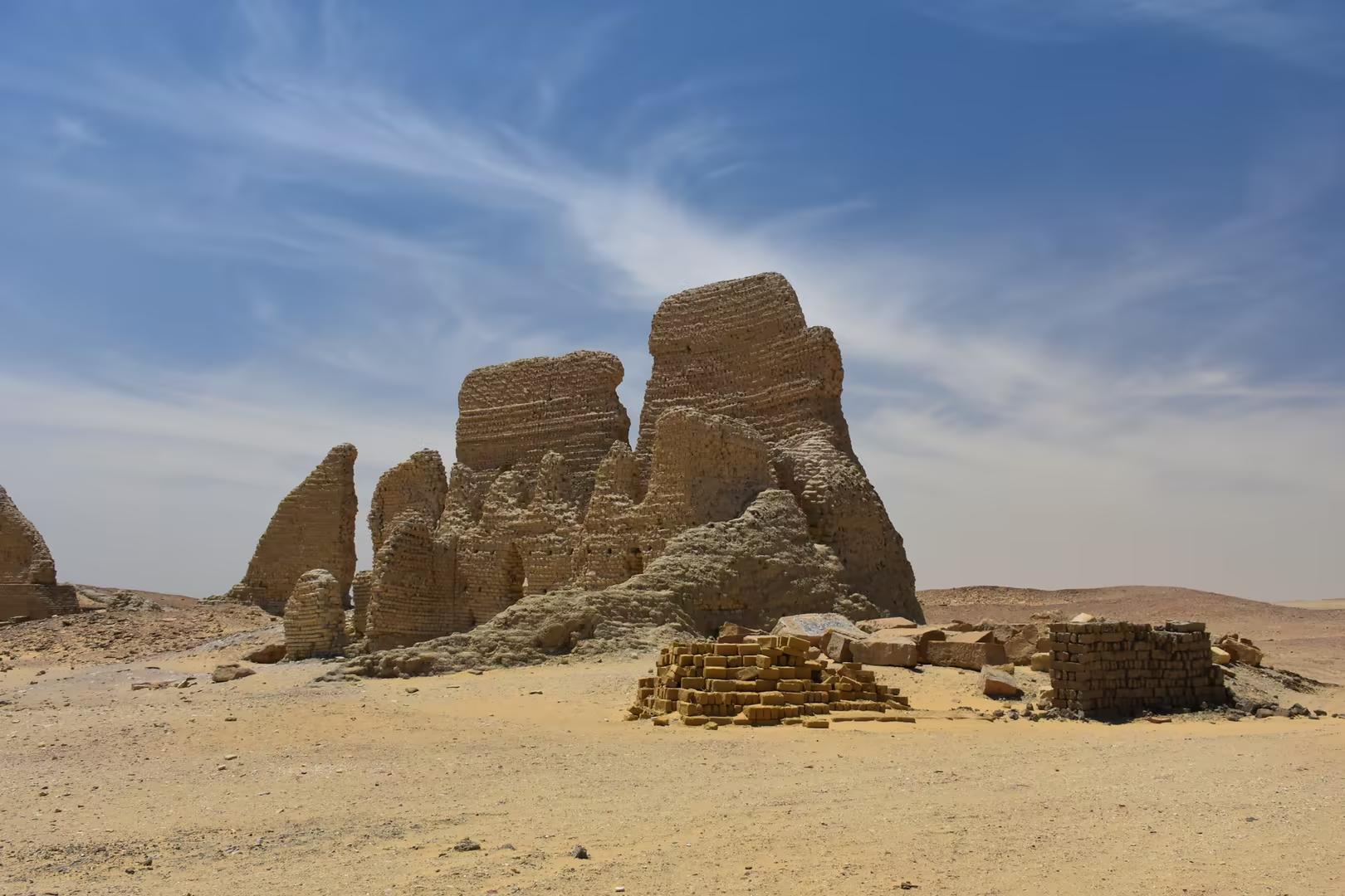
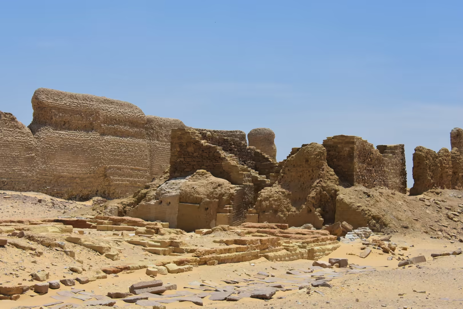
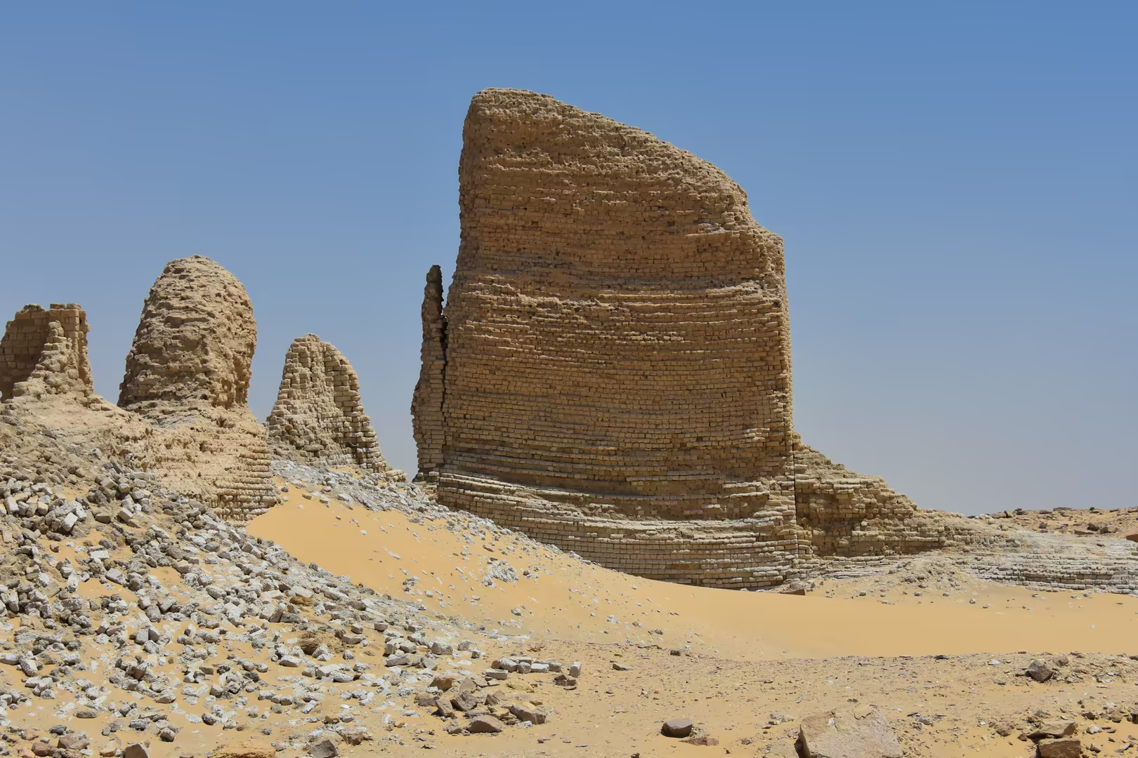
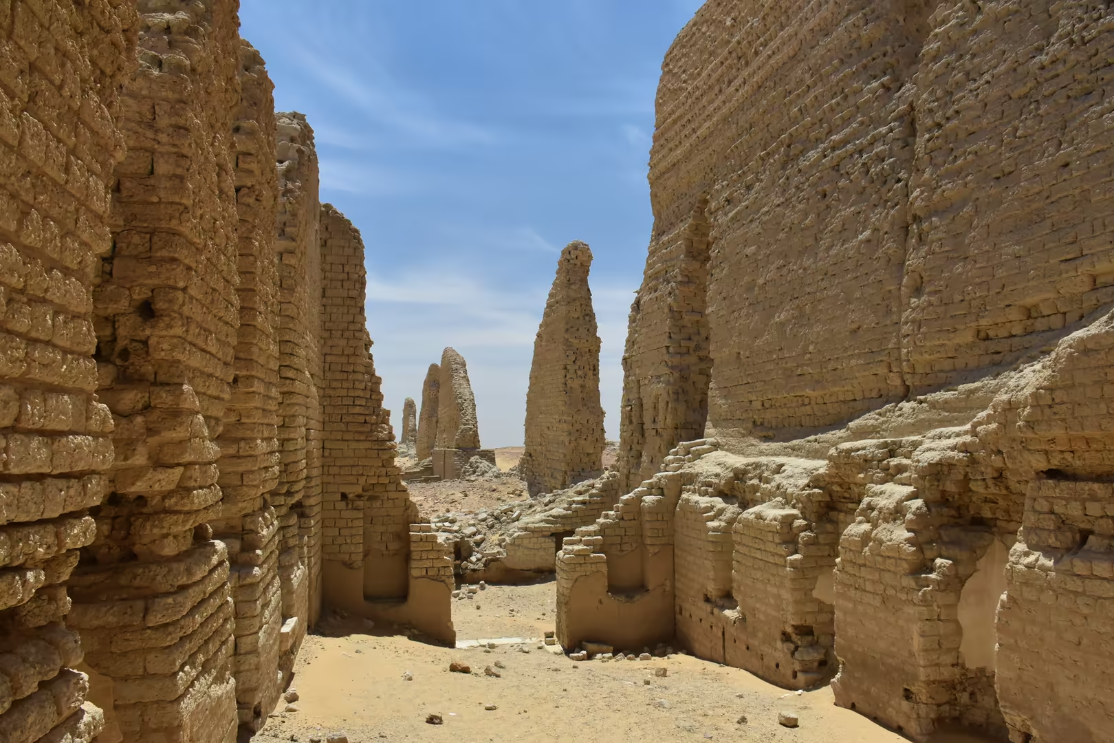
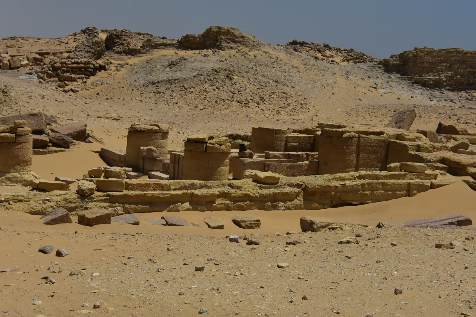
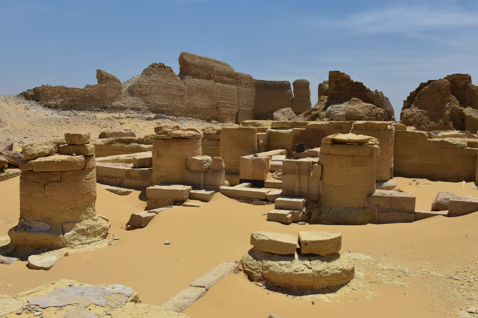
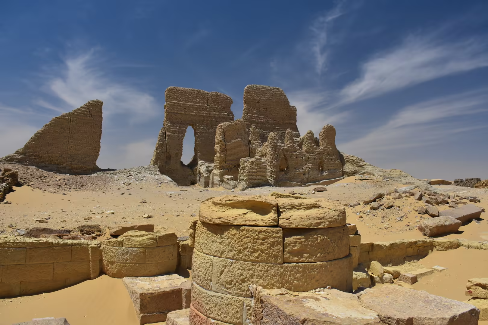
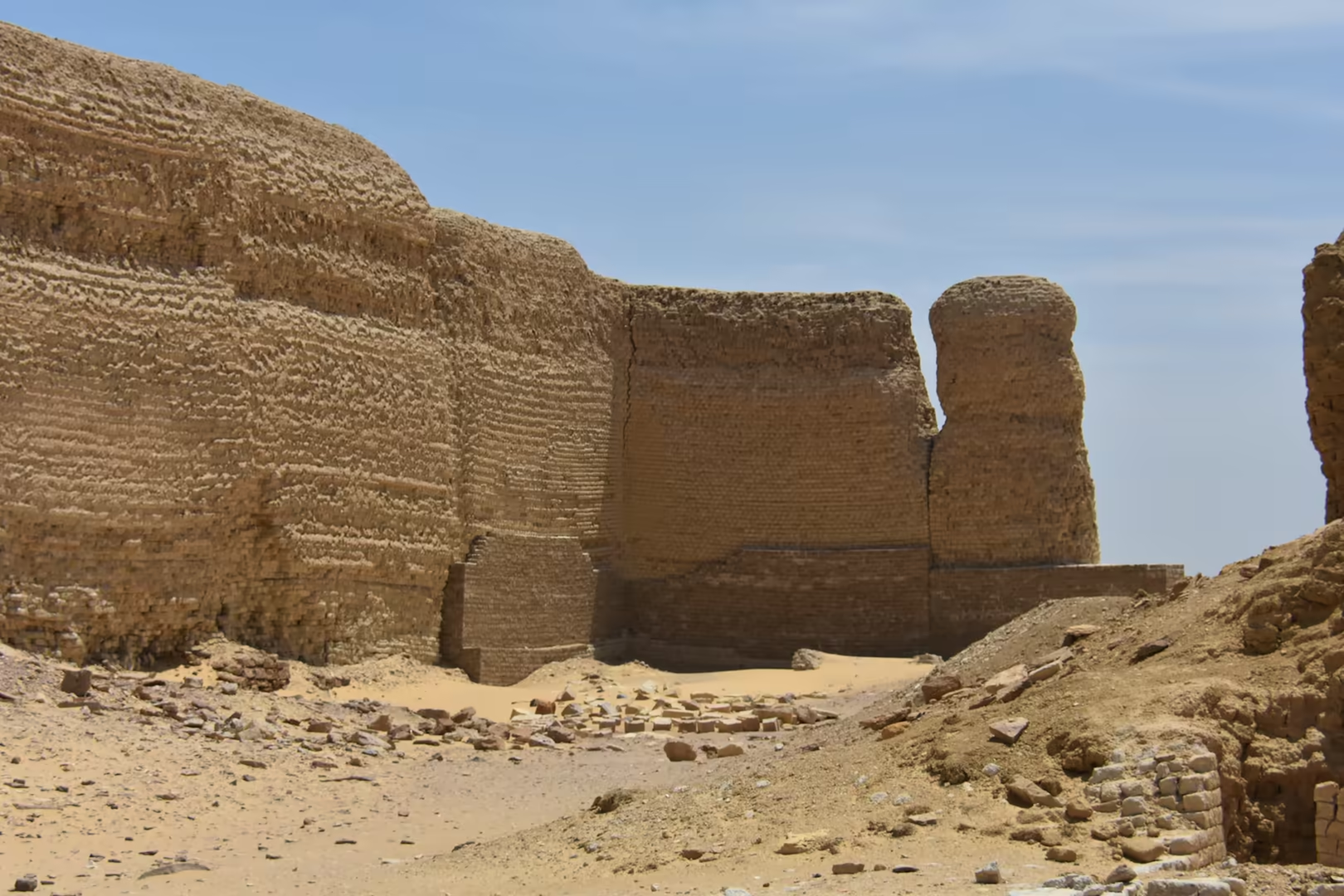
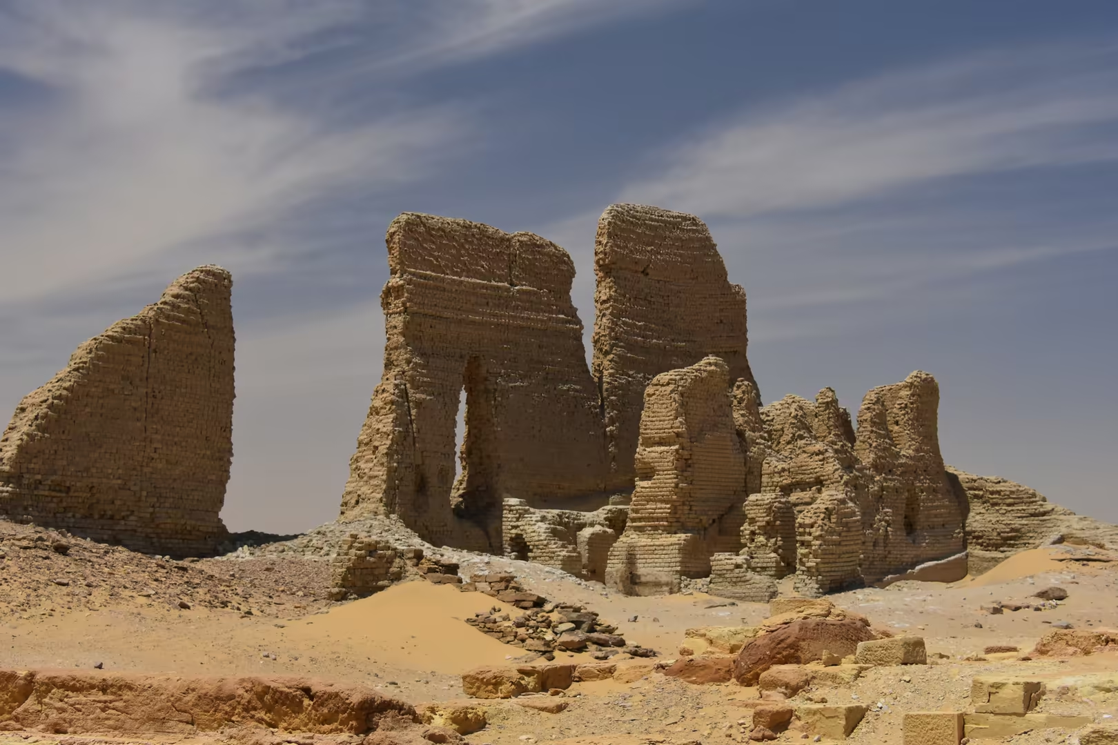
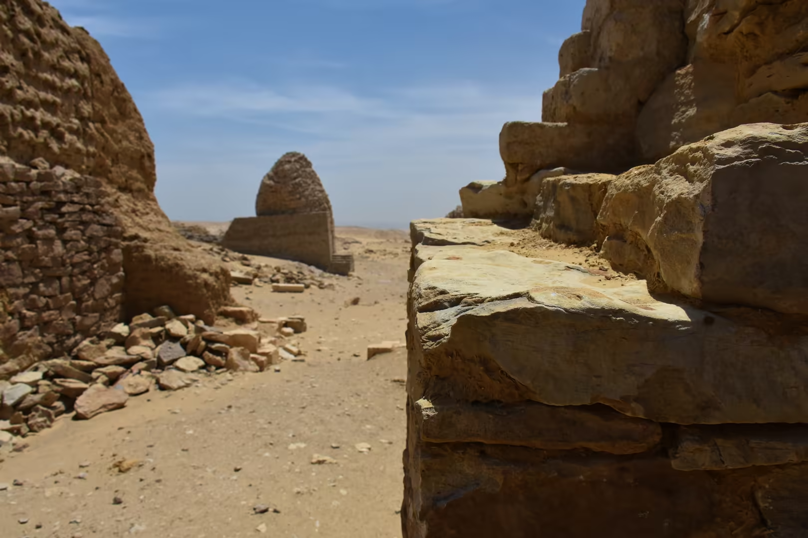
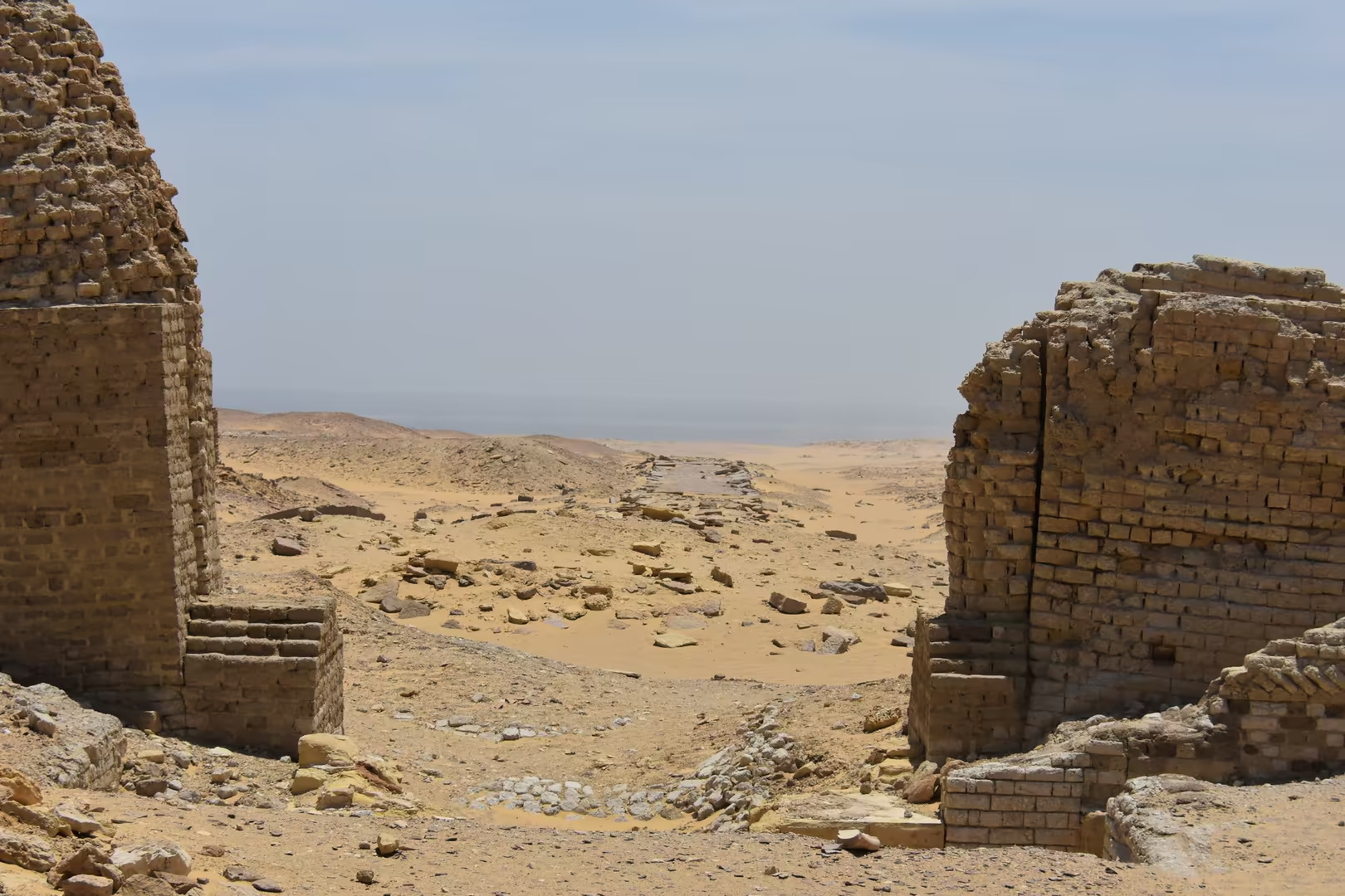
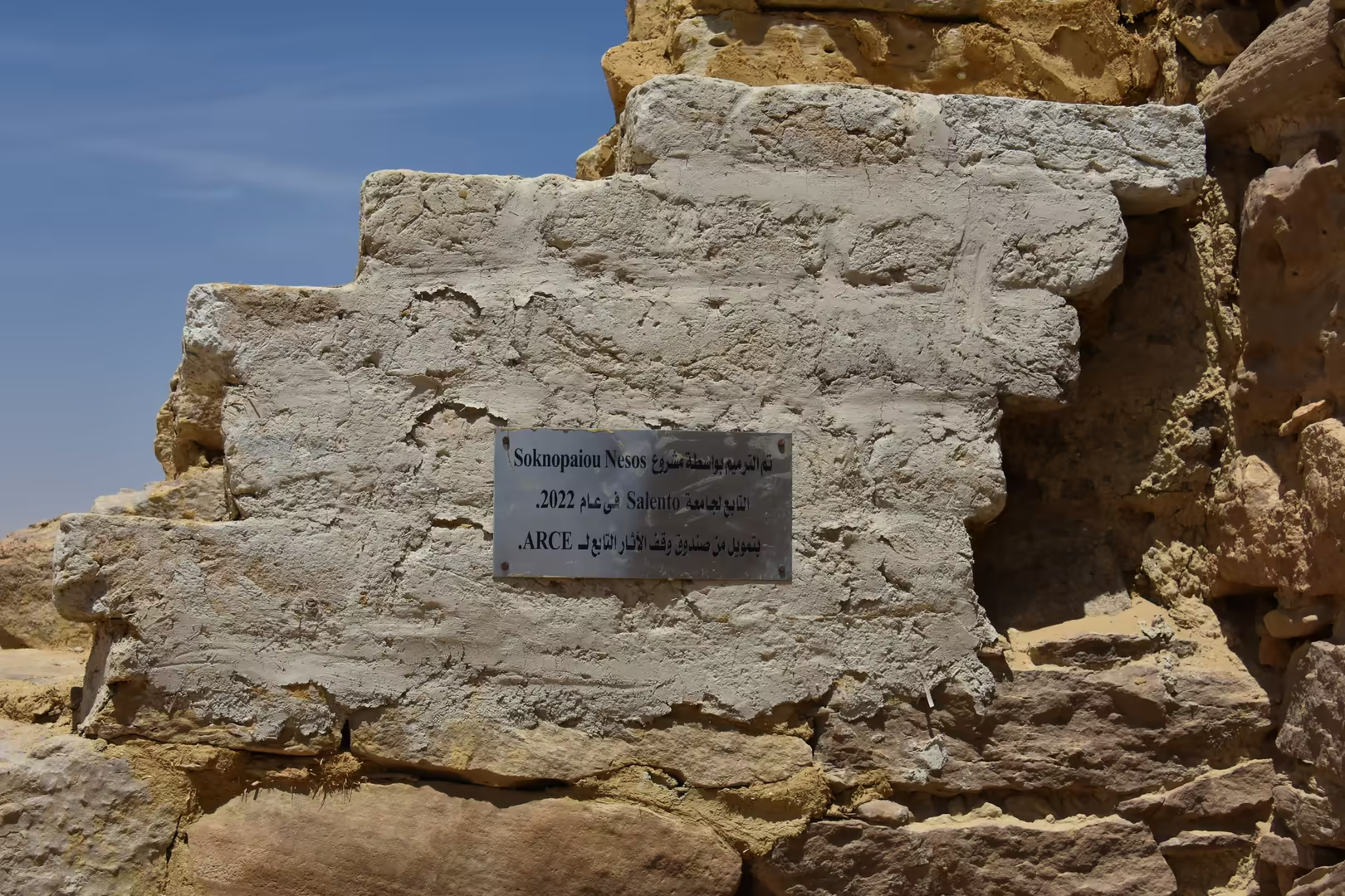
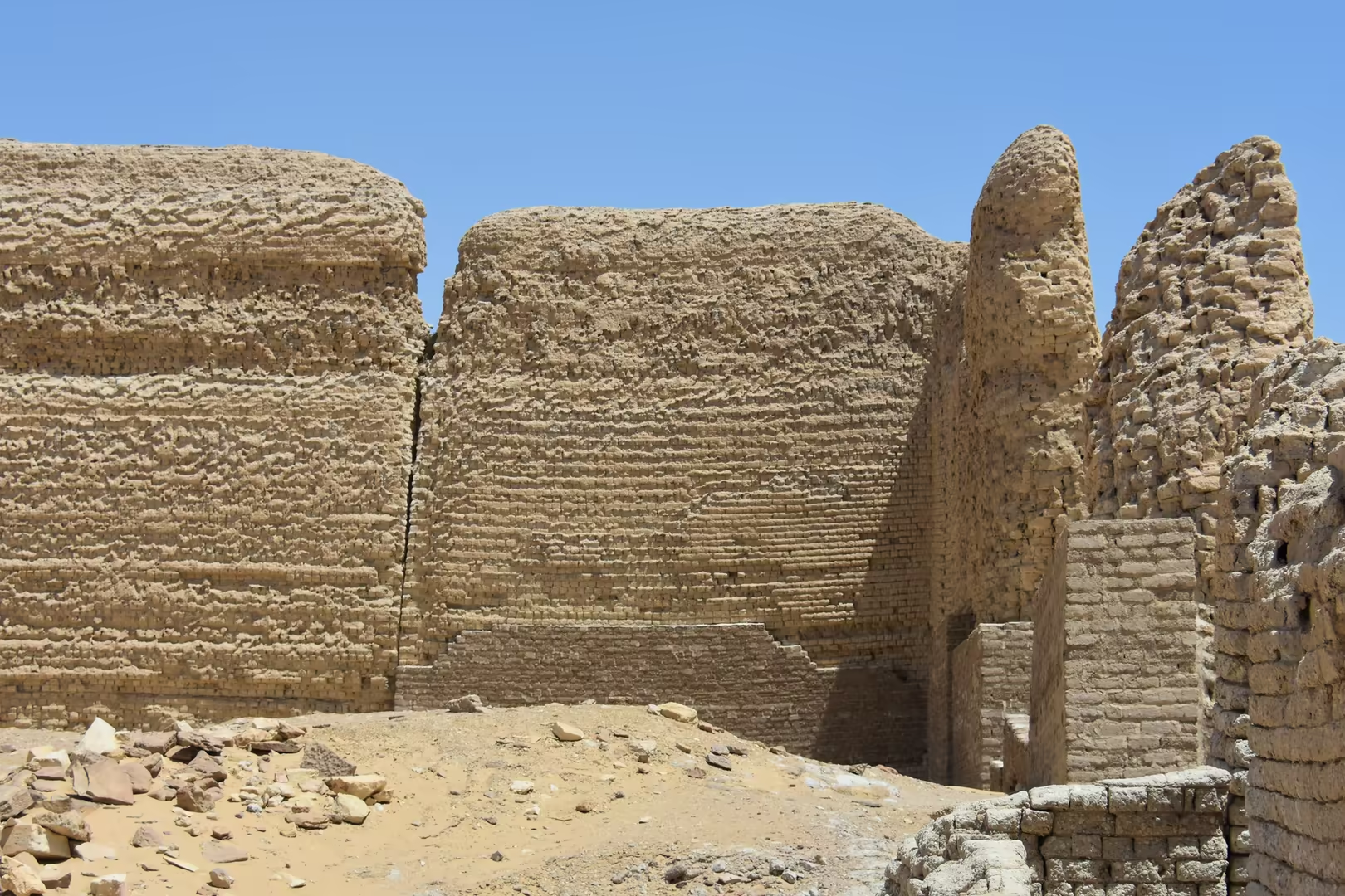
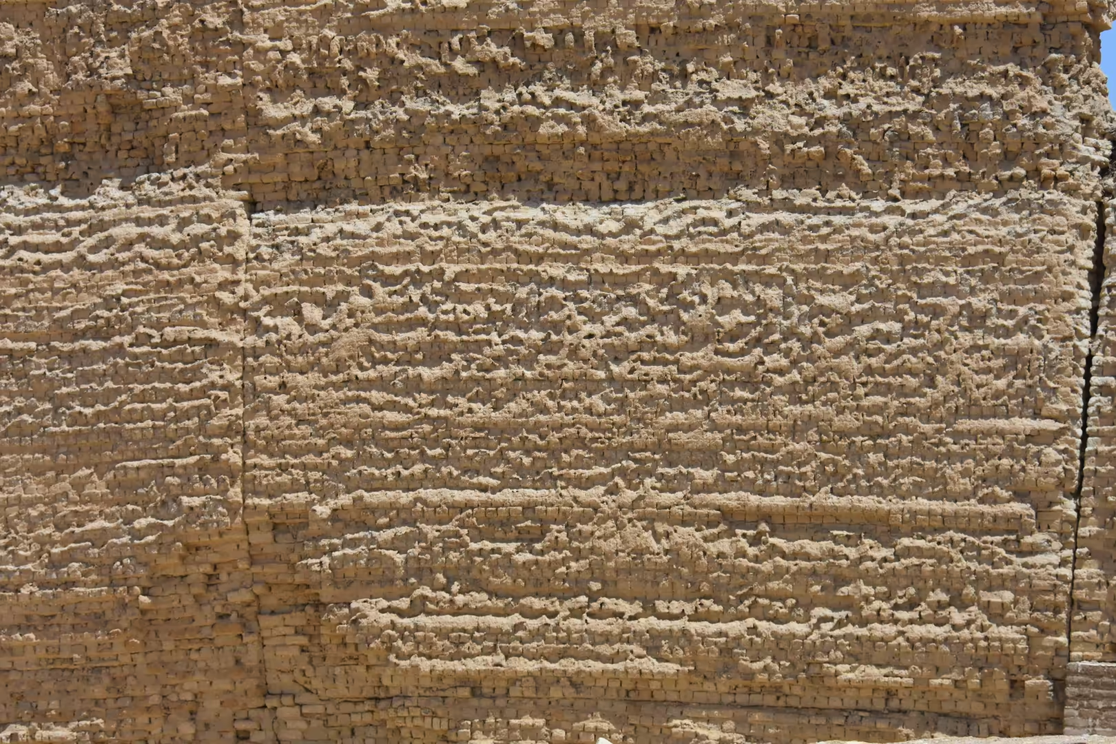
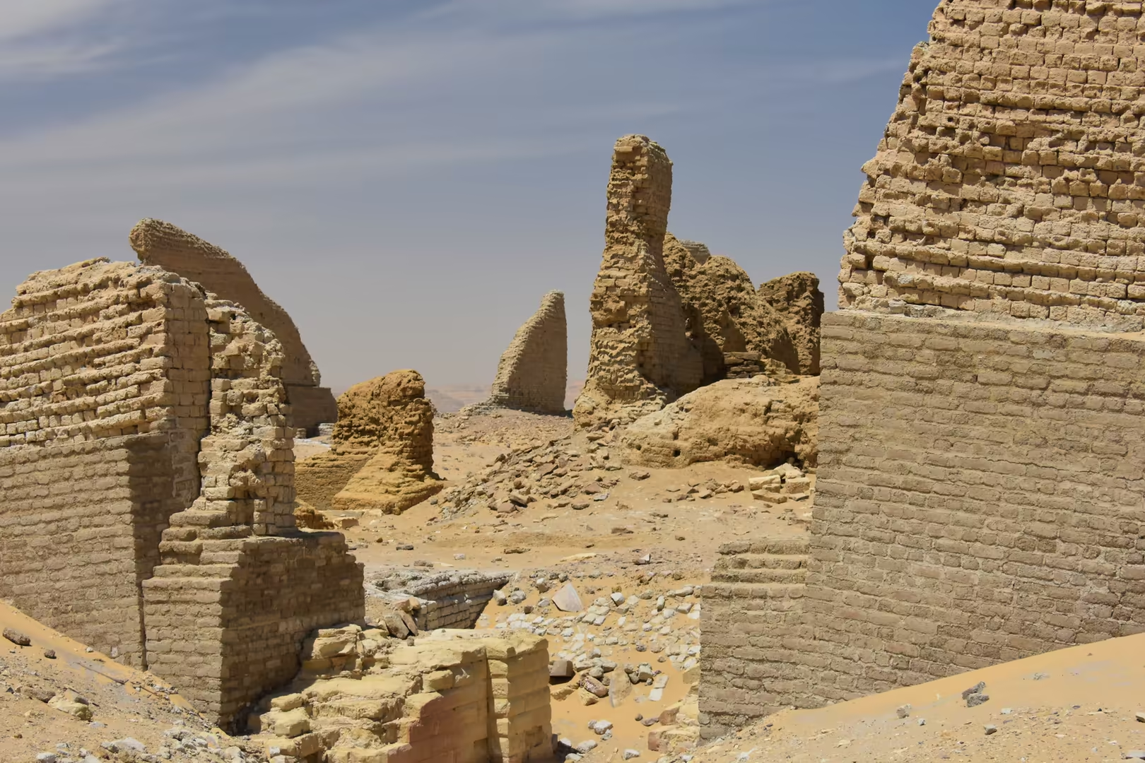
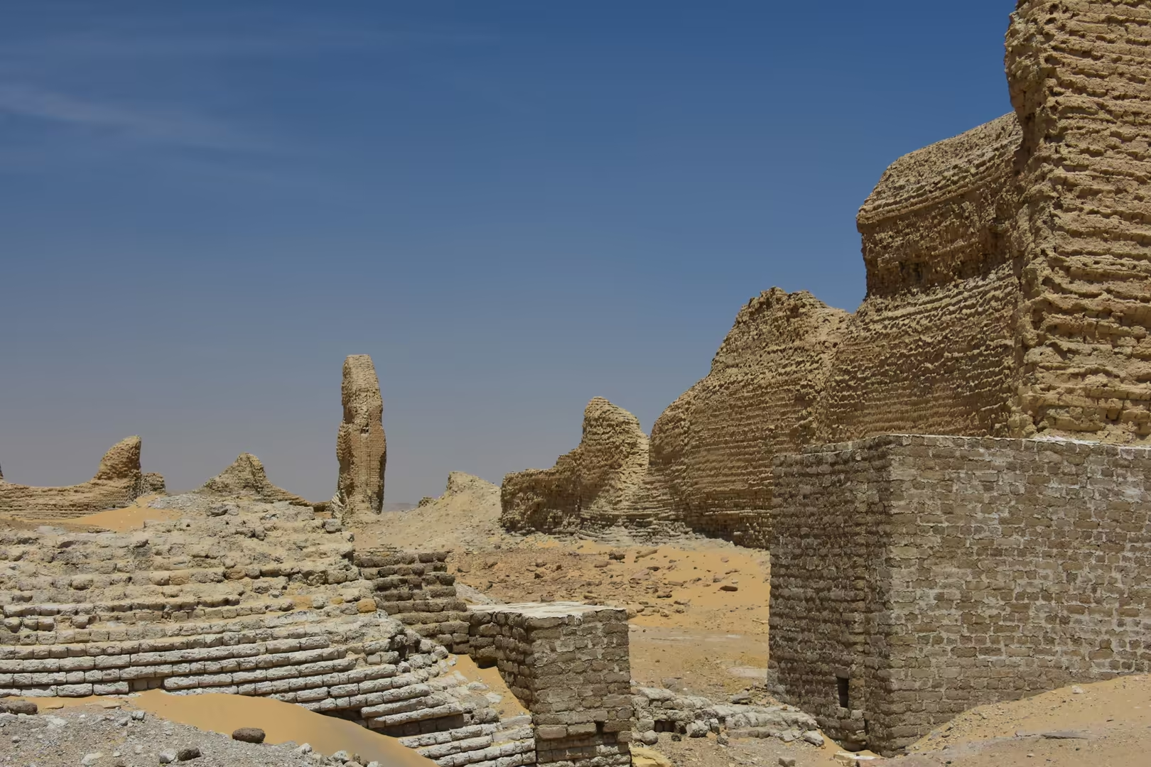
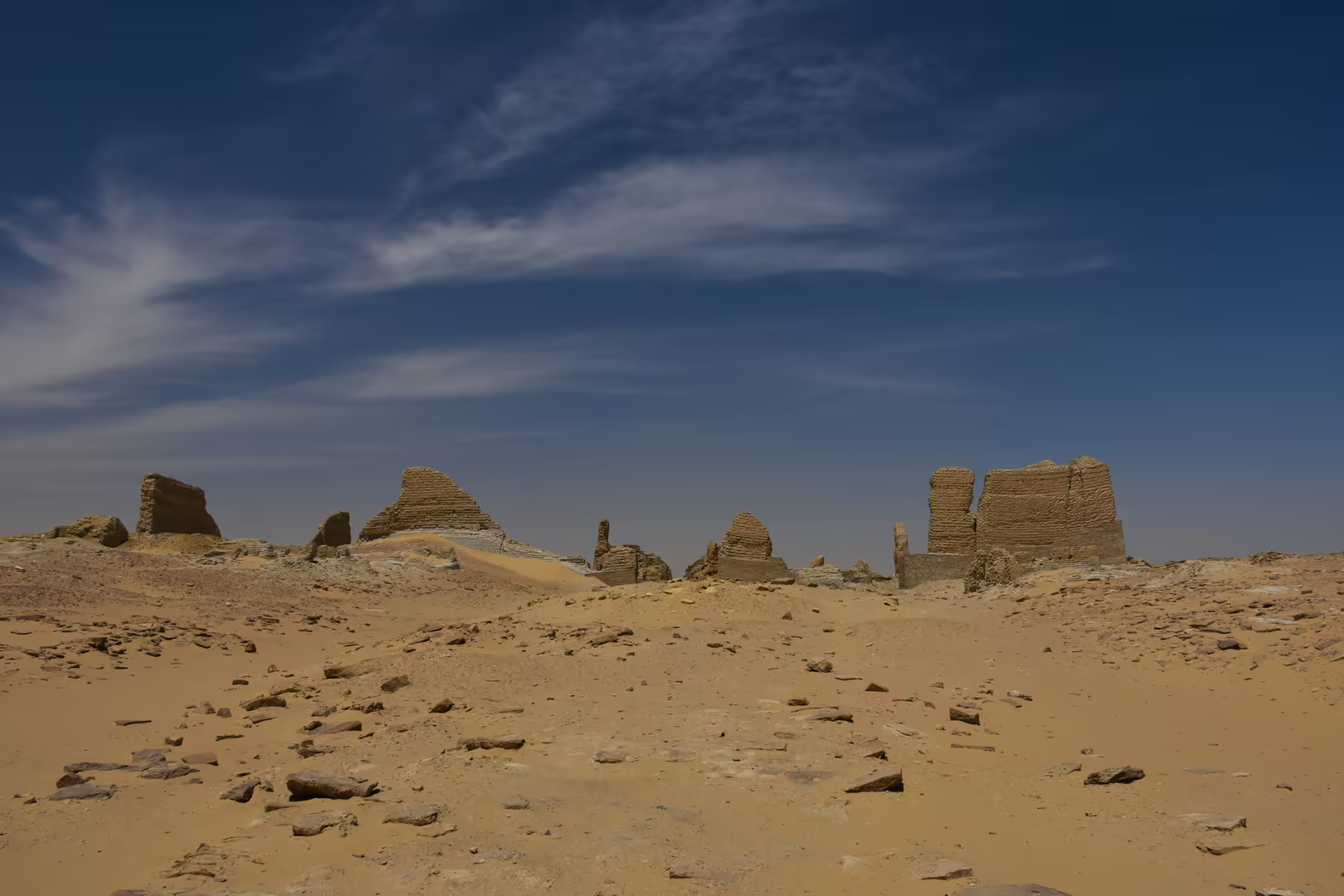
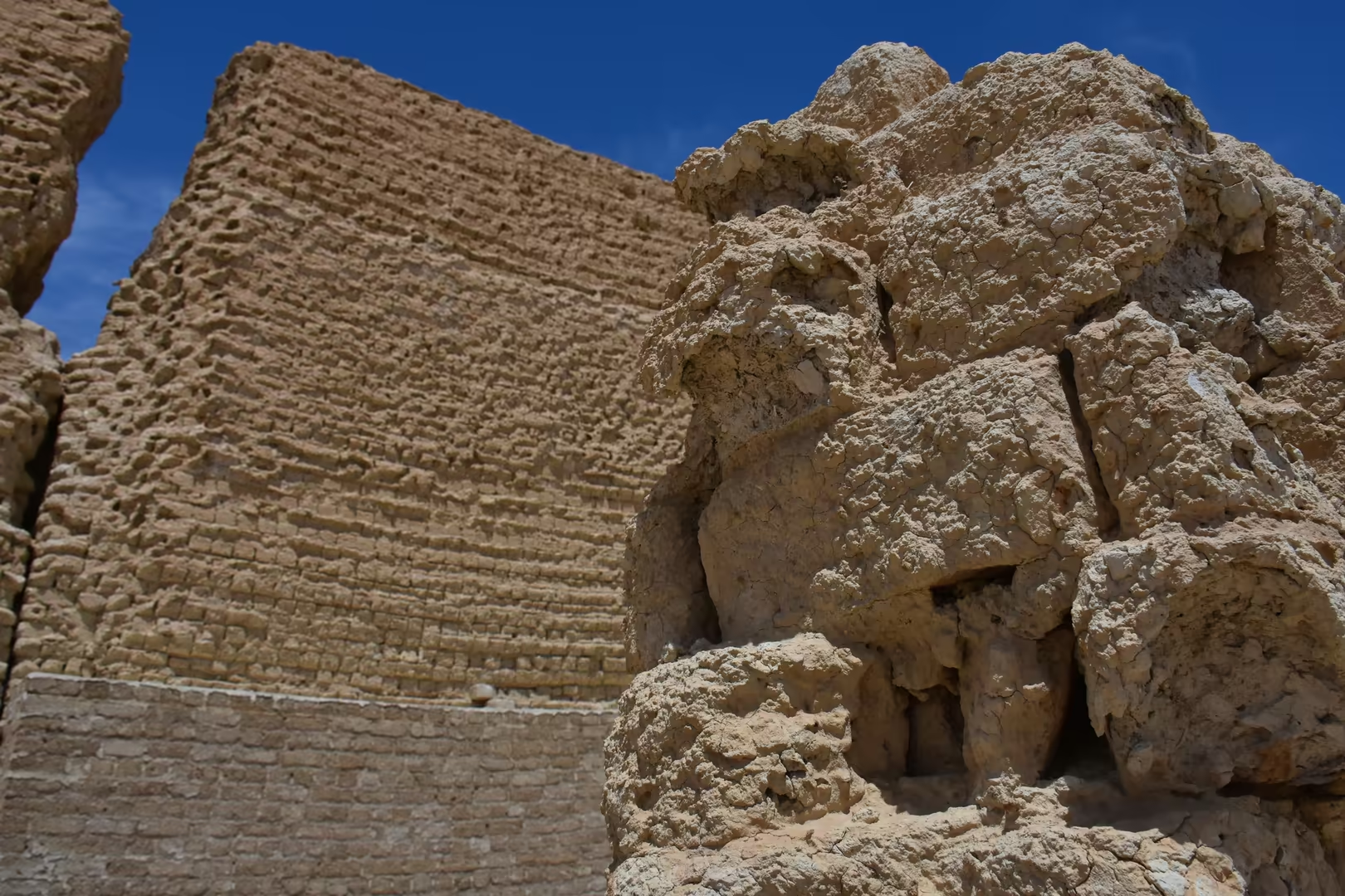
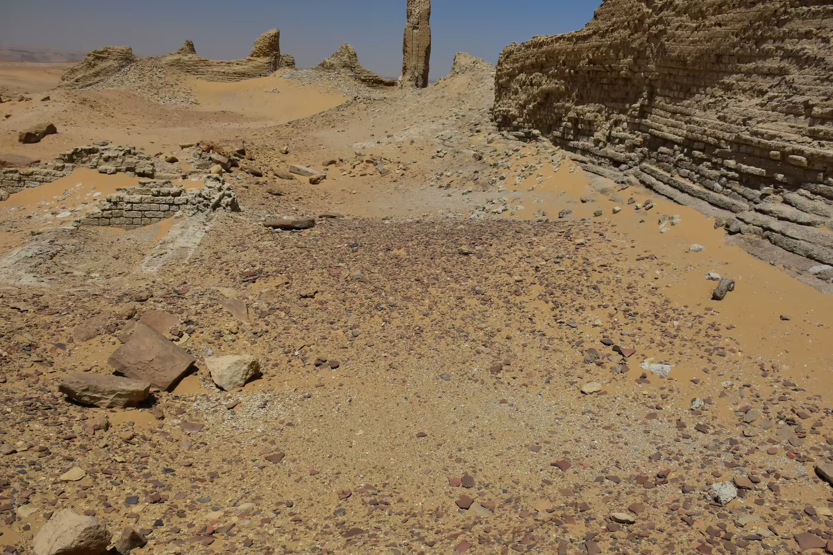
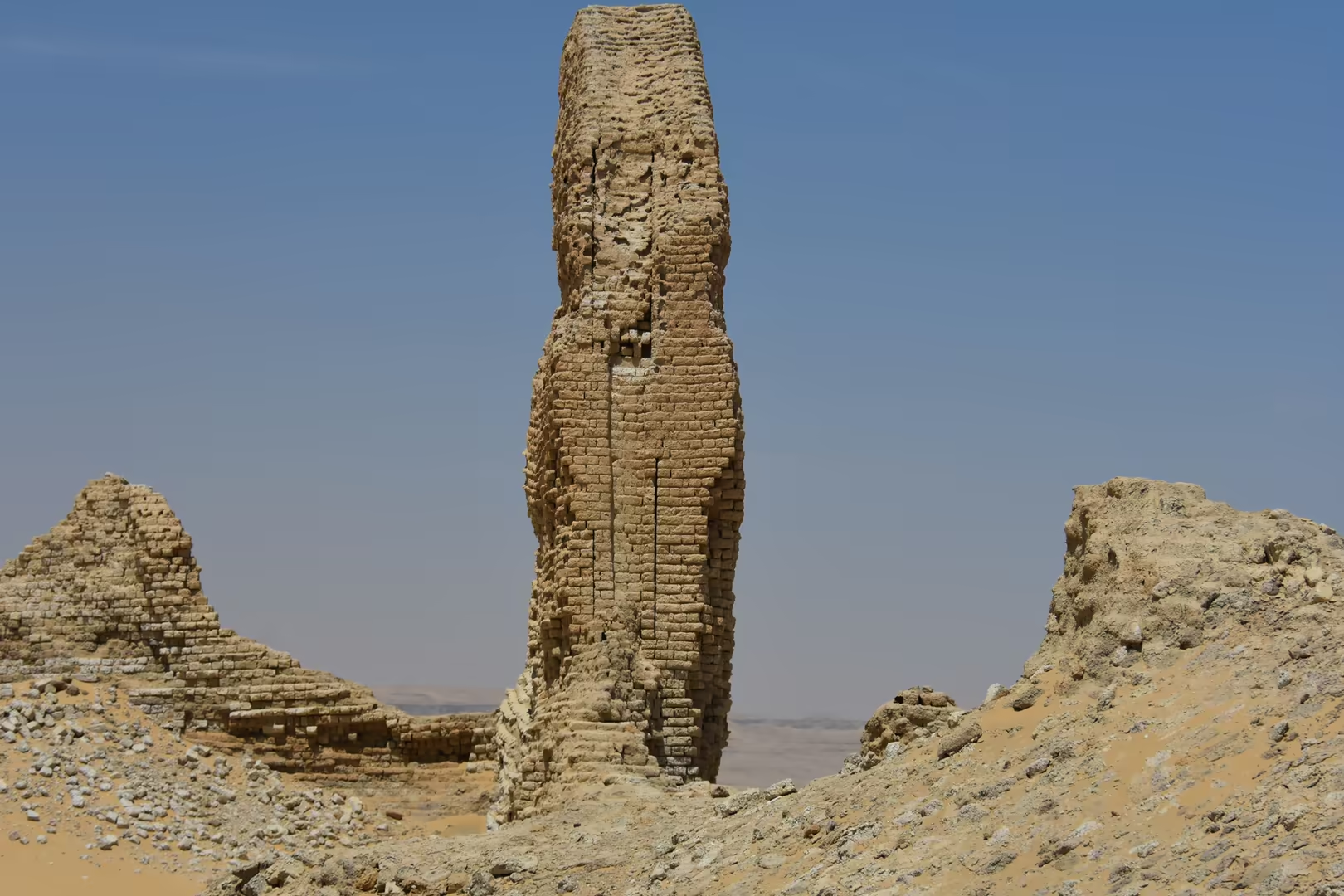
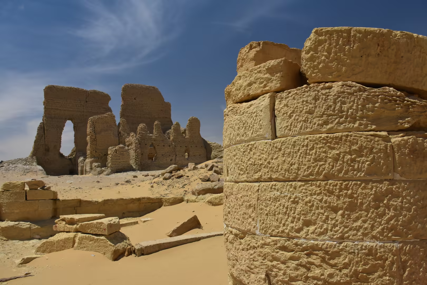
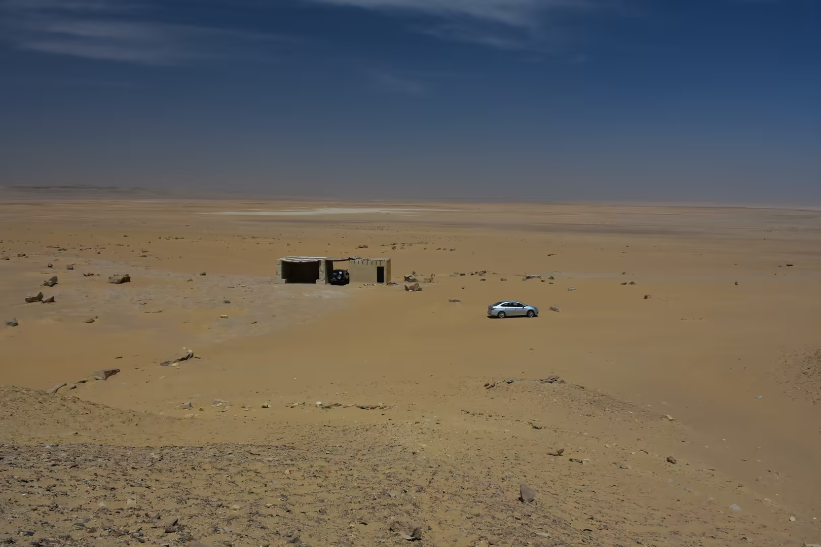
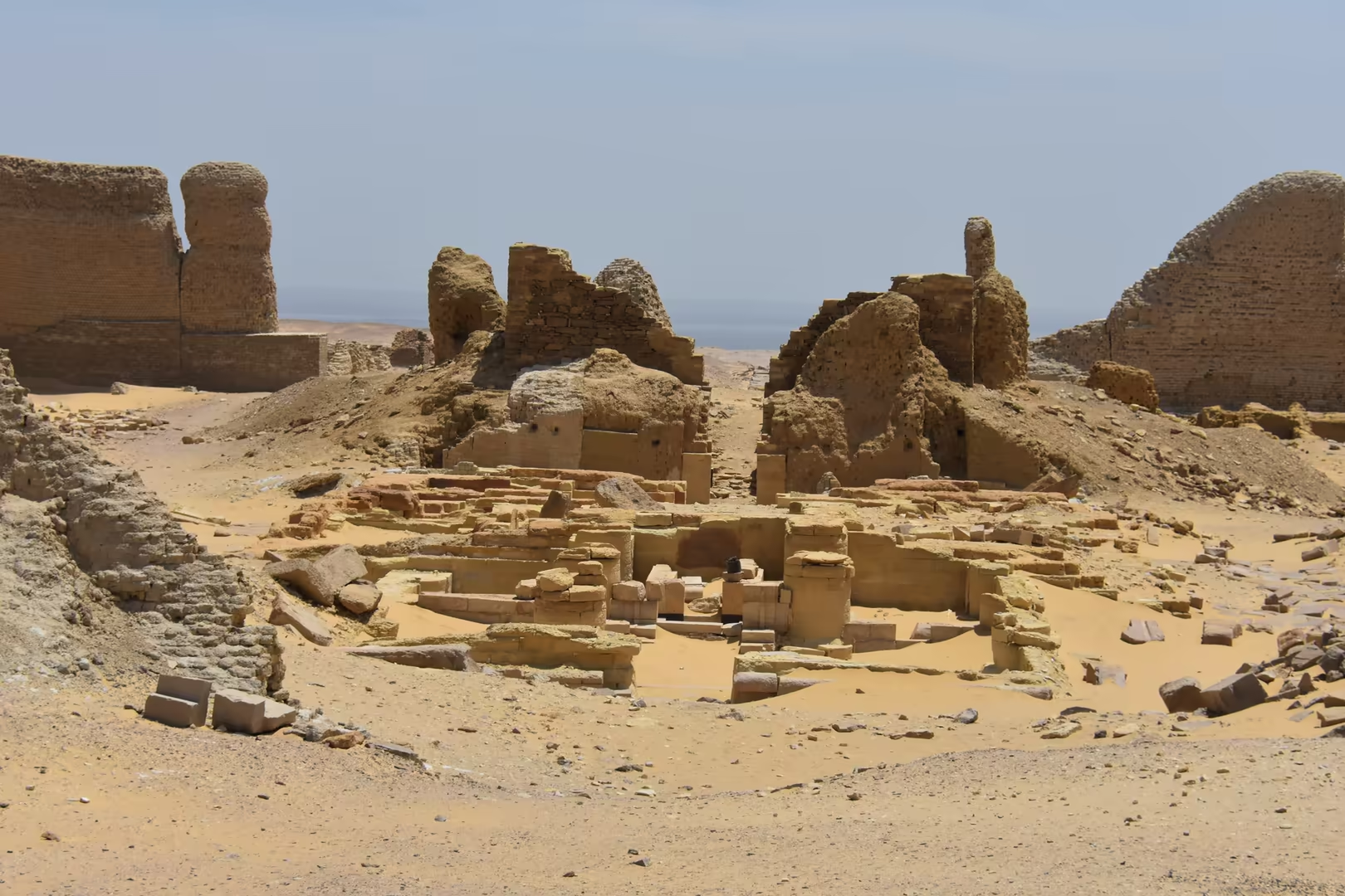
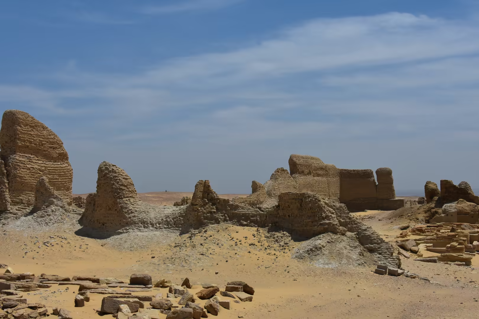
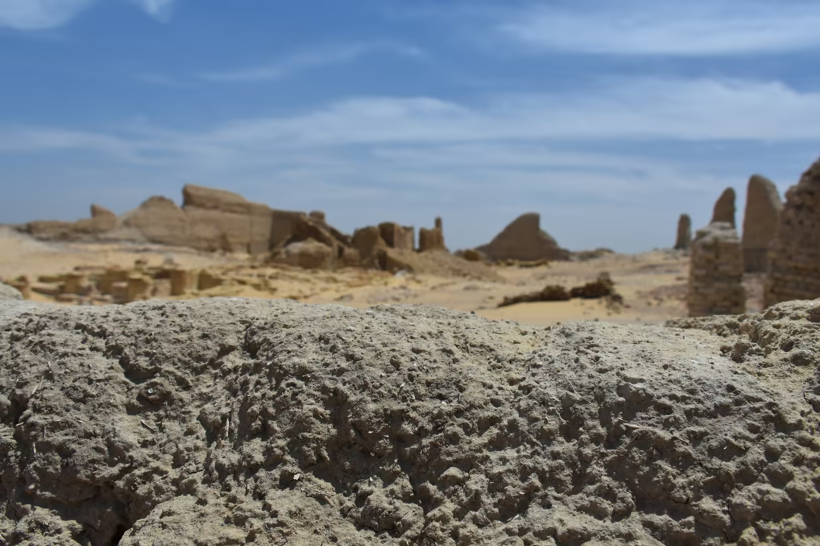
Soknopaiou Nesos, today called Dimeh es-Seba, is the great ruin of the northern shore. The town stood on the desert plateau above the lake, far from the arable land, and was for most of its existence a town of priests: the temple of Soknopaios, ‘Sobek, lord of Pai’, counted well over one hundred clergy in Roman times, serving a settlement of barely a thousand inhabitants. It flourished from the third century BC until about AD 230, when it was abandoned; its papyri, dug out from the late nineteenth century onward, made it famous in Europe, and the Soknopaiou Nesos Project of the University of Salento has worked at the site since 2004. What the visitor sees today is the great mud-brick temenos of the temple, preserved in places to a height of fifteen metres and visible from far off as a pale mass rising above the sand; a weathered sign below the kôm gives the site its ancient name.
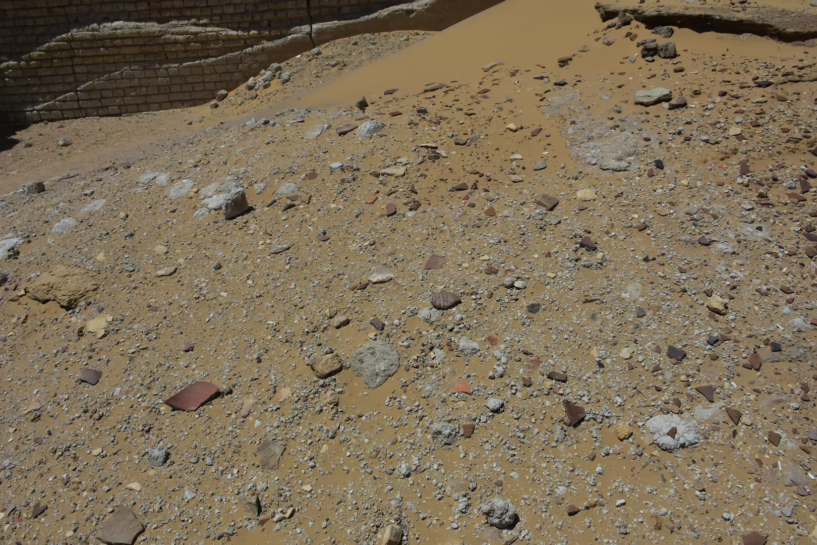
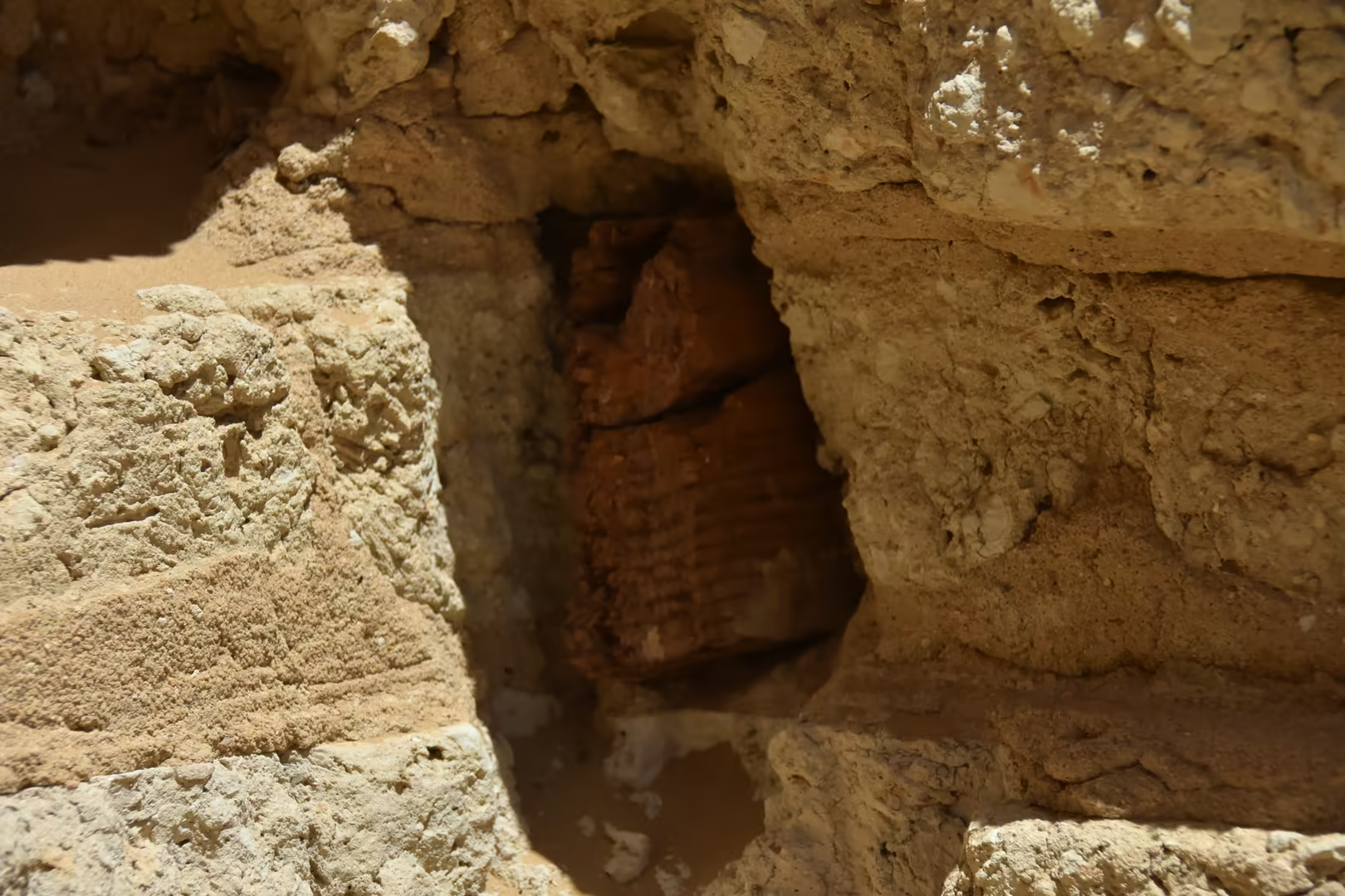
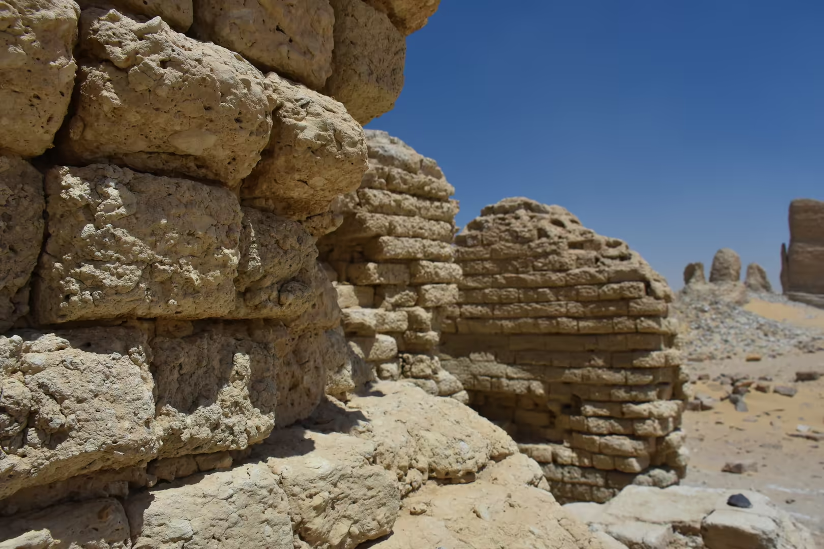
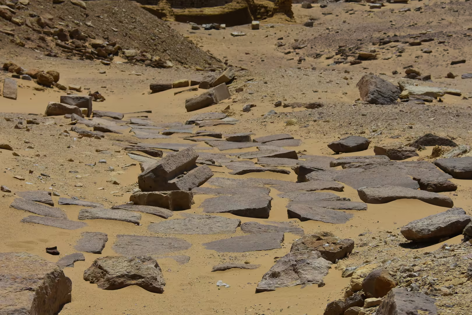
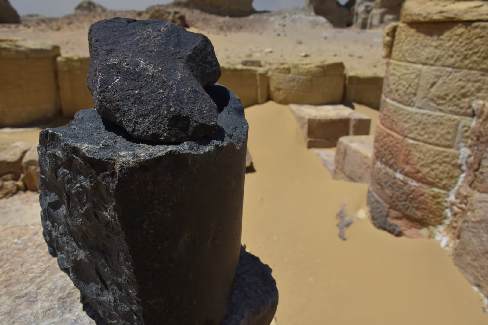
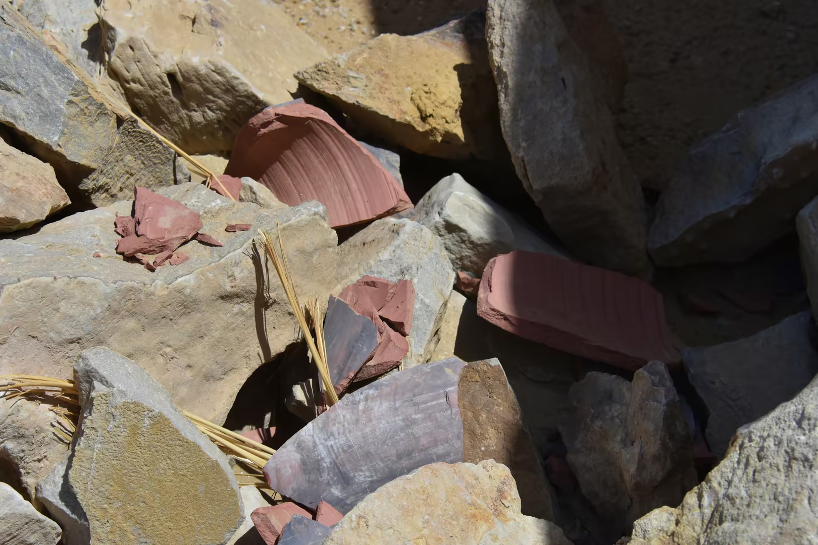
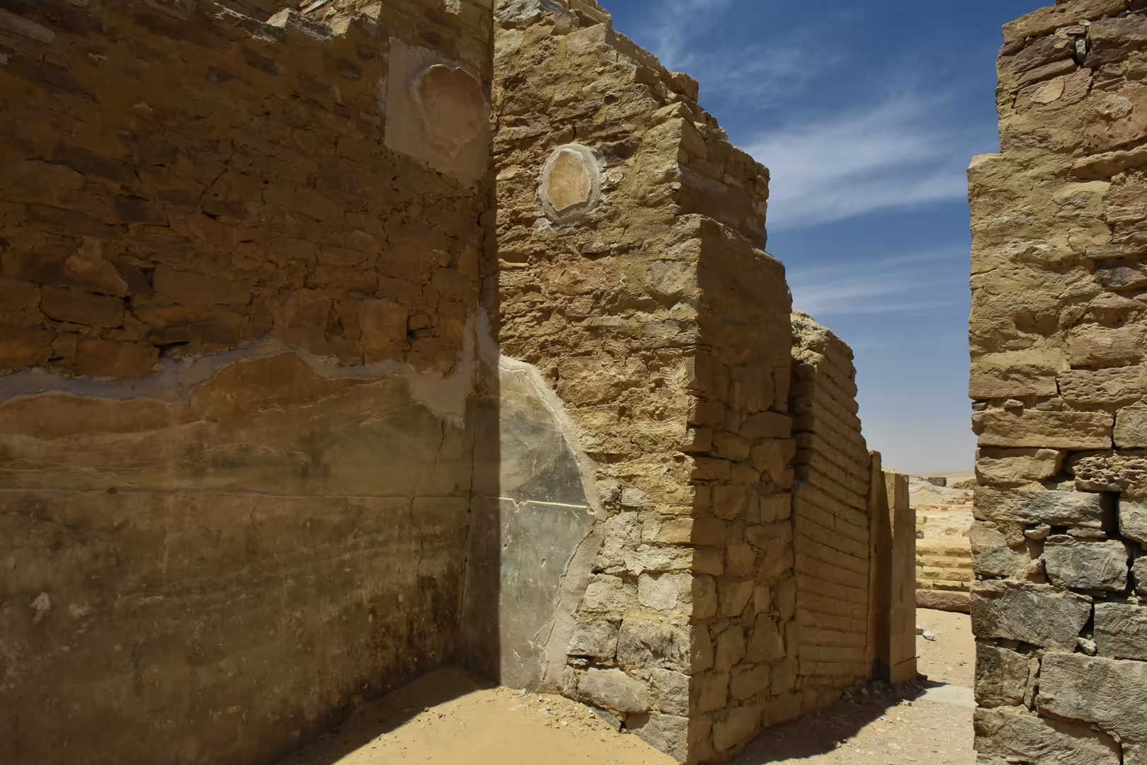
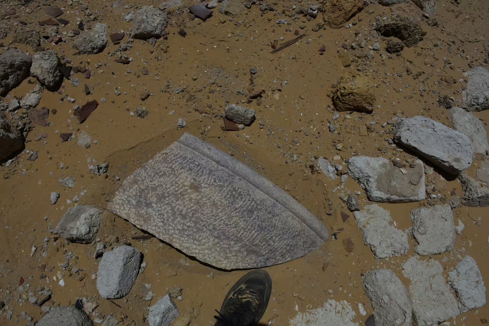
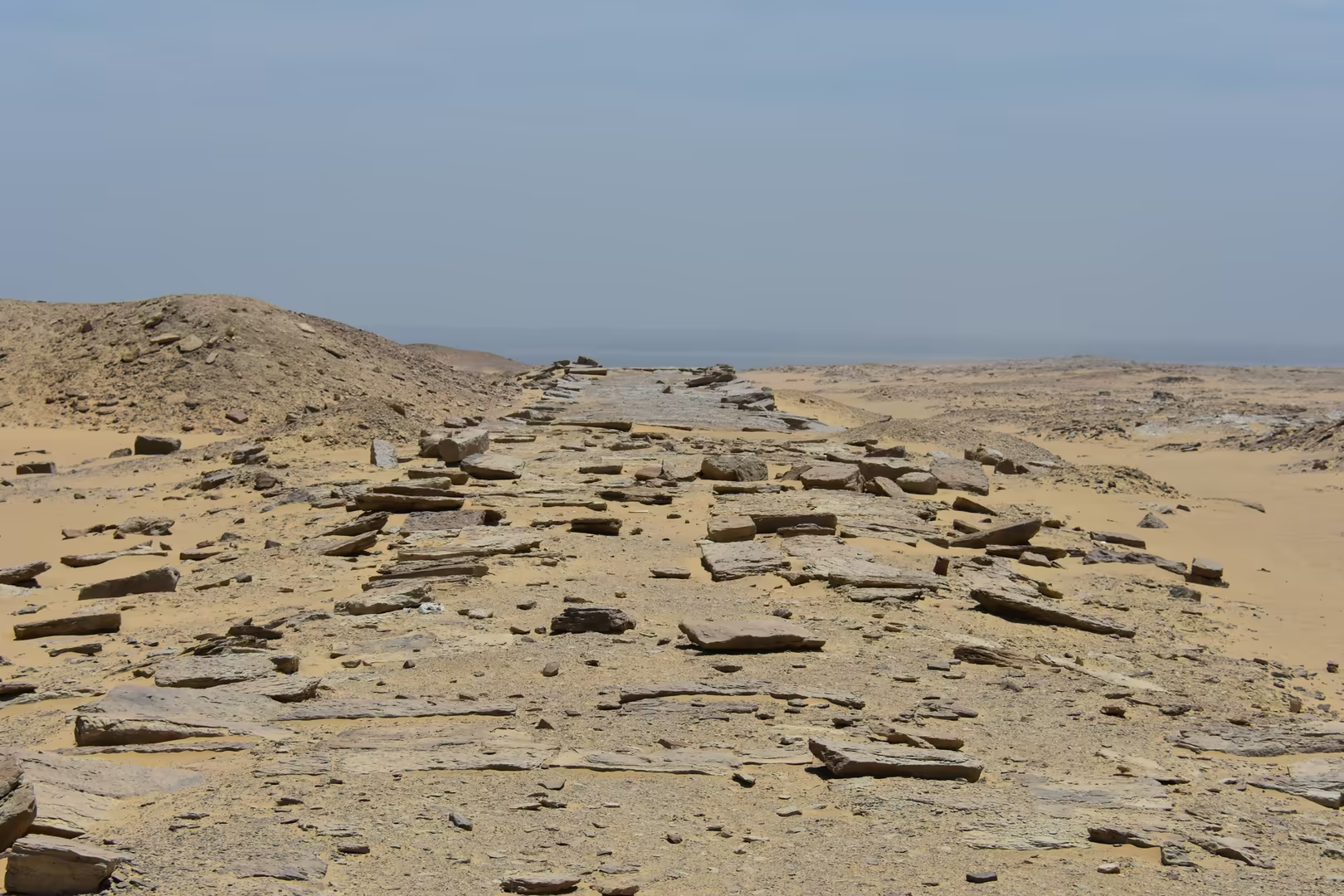
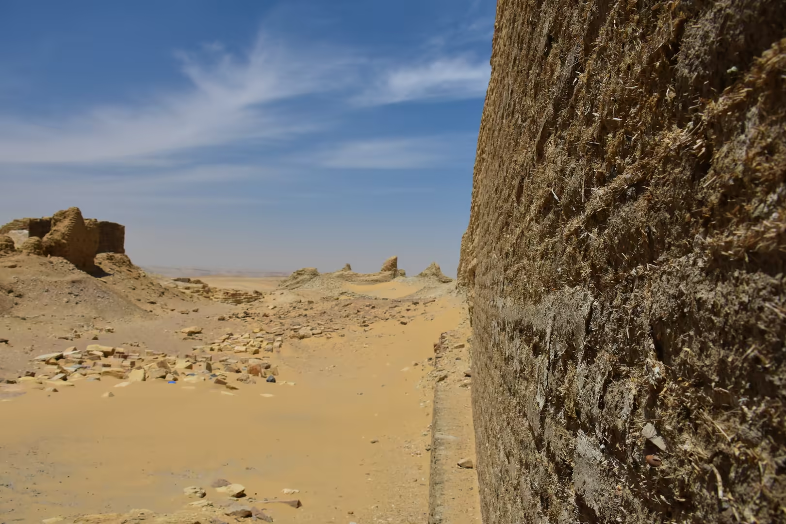
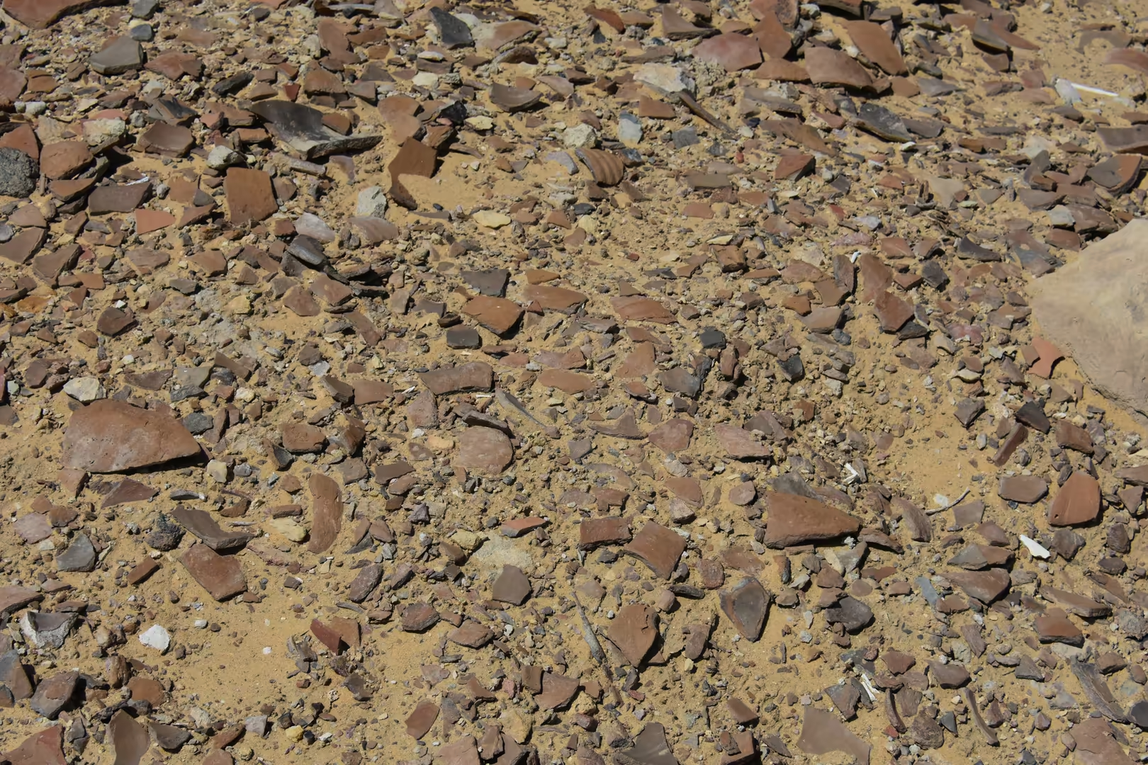
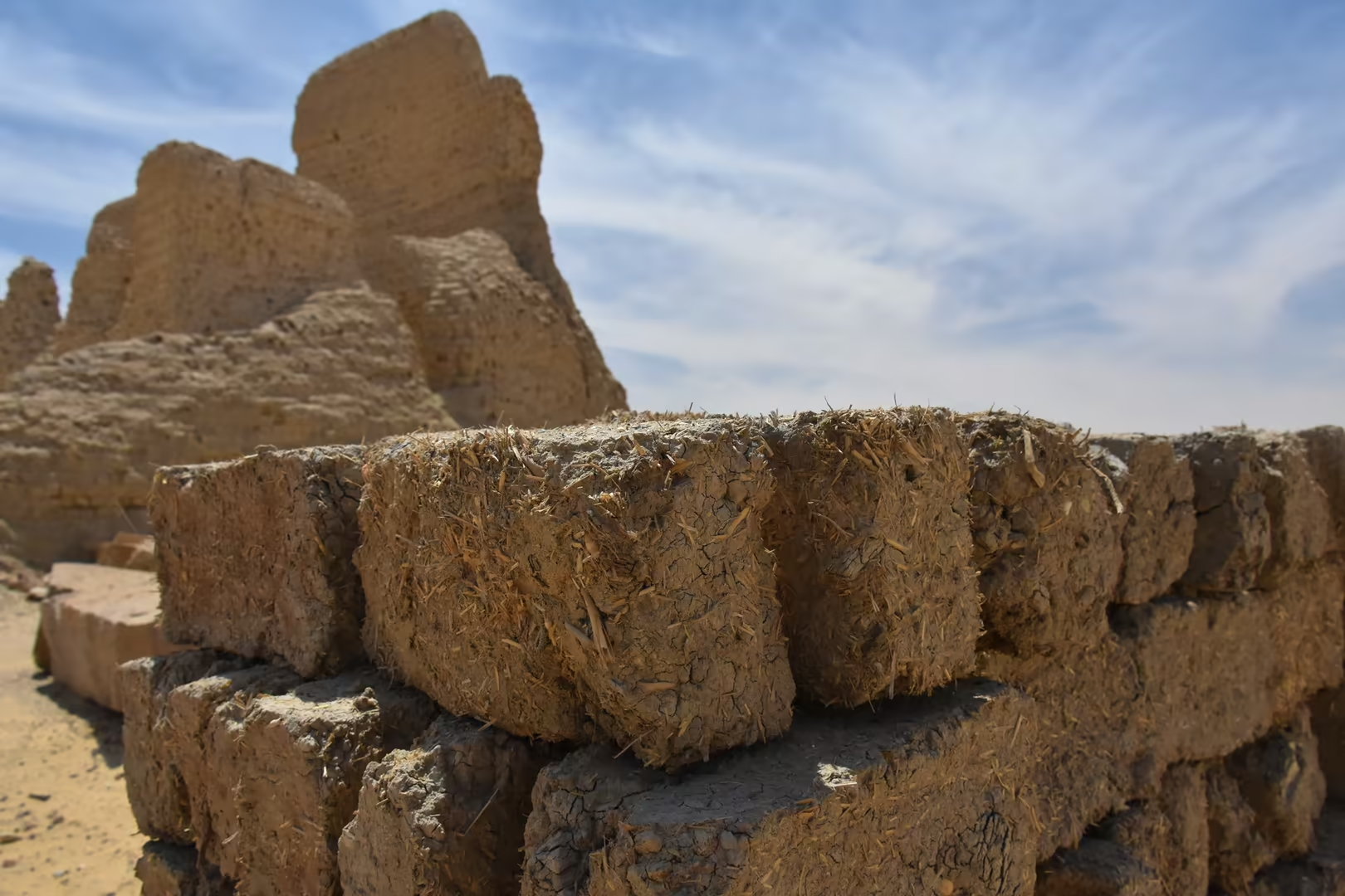
Inside the temenos, narrow passages run between towering walls of sun-dried brick, past broken archways, eroded towers, solitary pillars and the low mounds of houses. The sanctuary at the centre of the enclosure survives only in its lower courses: foundations of dressed stone, bases and fallen drums of columns, a round niche carved in a sandstone block, and scattered slabs among the pale debris. The brickwork itself is a record of the ancient builders, for the courses are of straw-tempered brick and raw bricks still lie where they were made; beside the sandy path stand a small tomb structure and a low stone platform, and one eroded pillar, left like a spire above the surrounding walls, is the landmark of the site. The oval kôm of Dimeh, some 660 metres from north to south, has the air of an abandoned sanctuary rather than a ruined city, and from its summit the green fields of the Faiyum lie far below to the south, a view that explains why the Greeks called this place an island of the god.
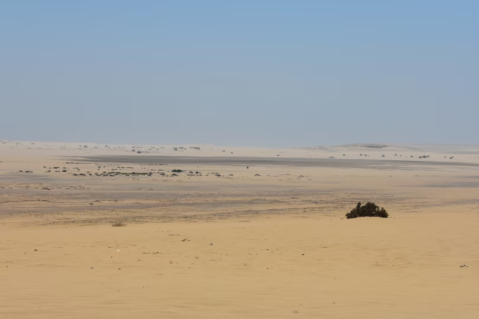
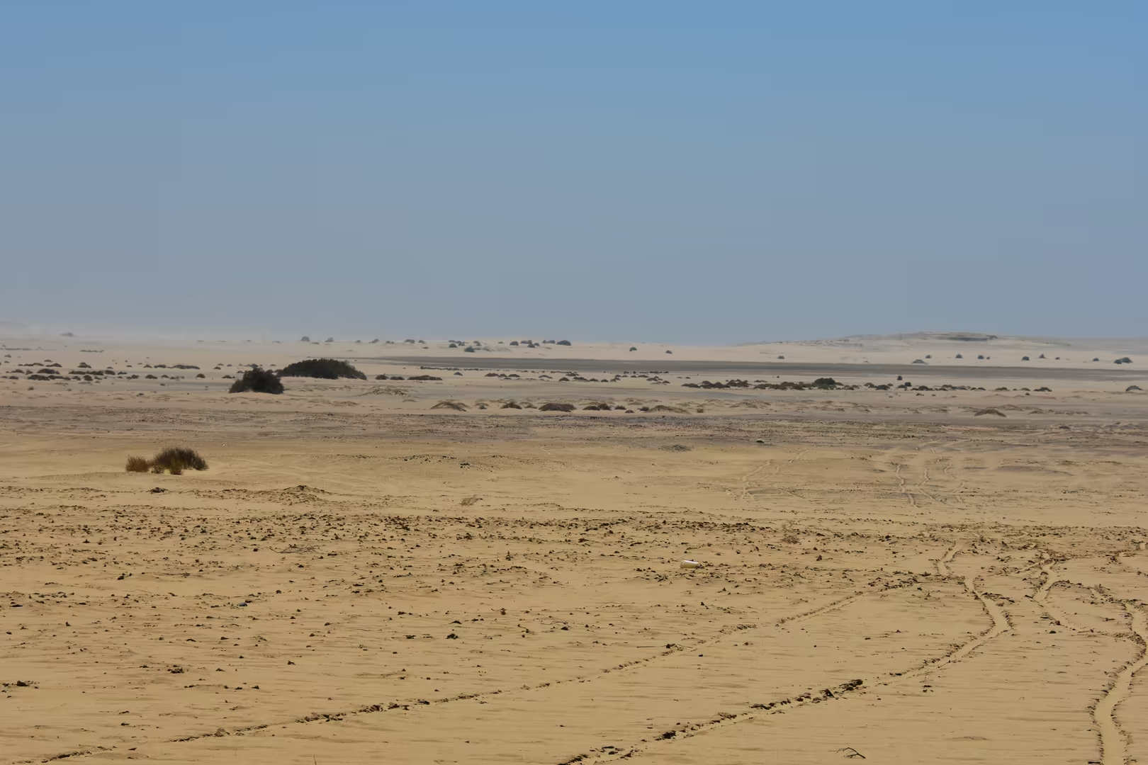
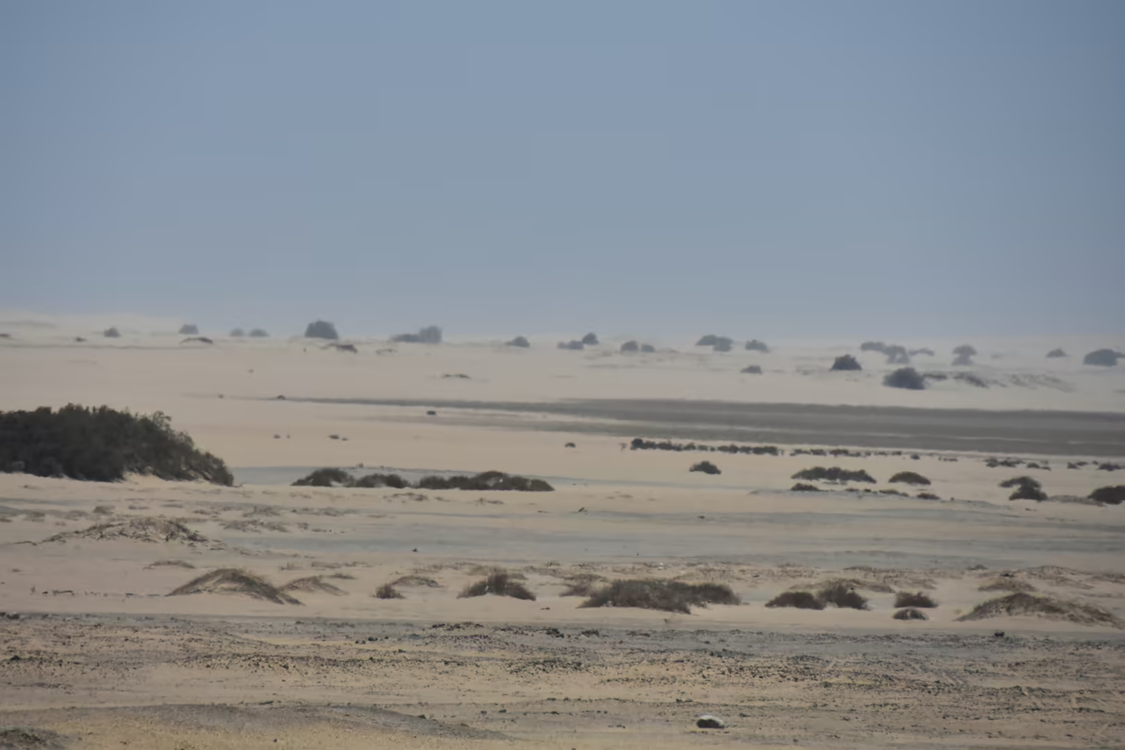
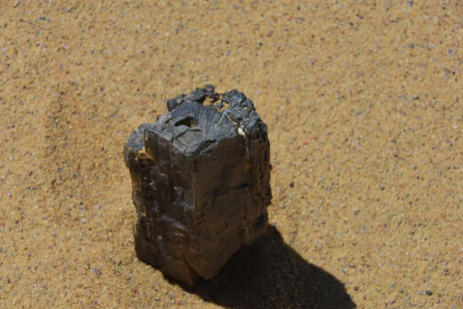
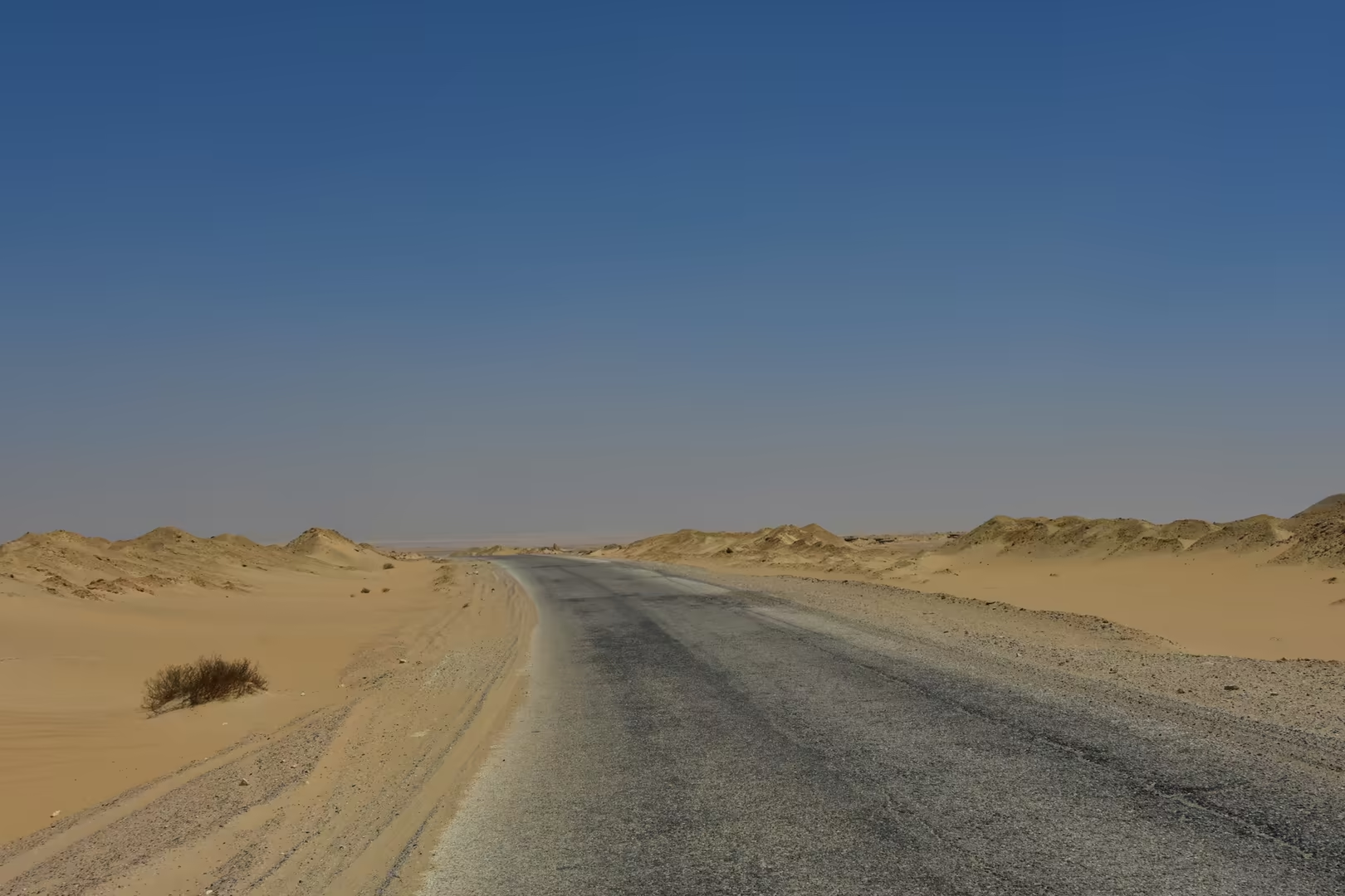
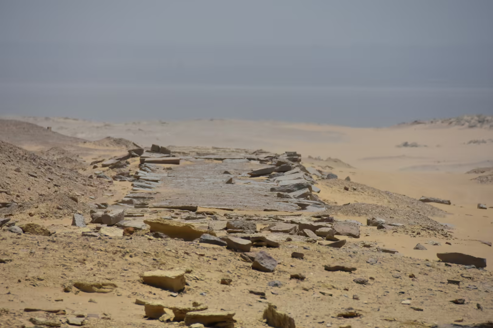
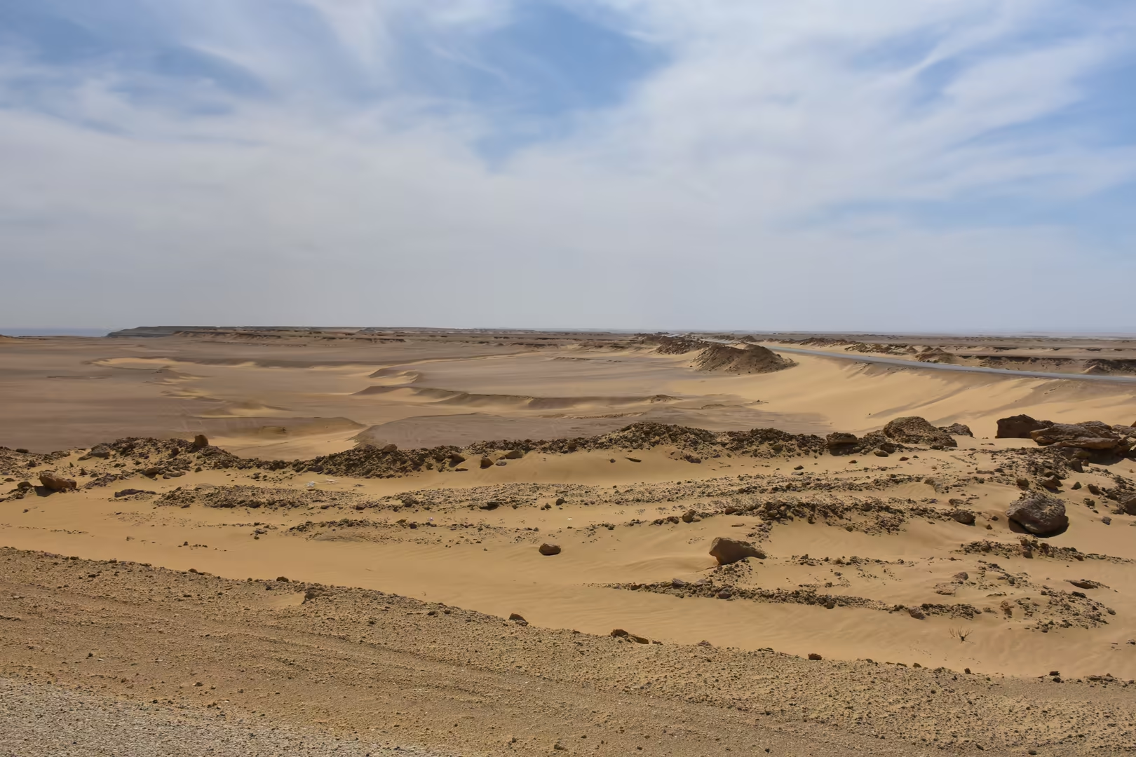
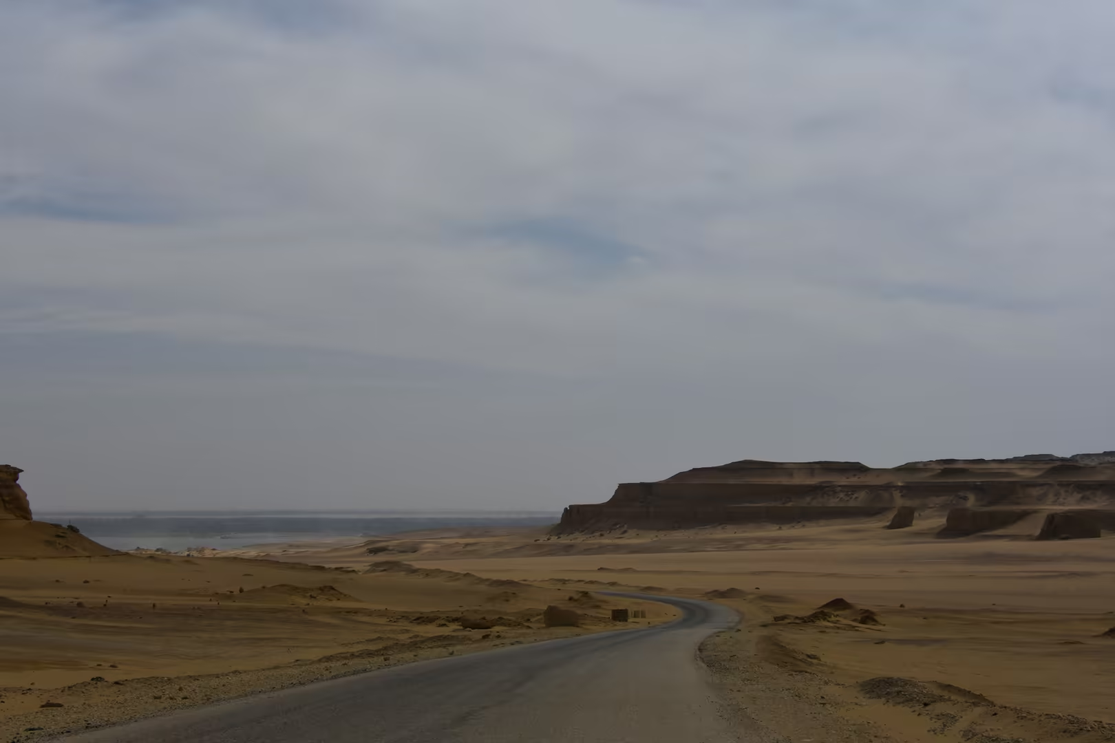
A belt of wind-carved desert separates the escarpment from the water along the northern shore. Sand-laden winds have fretted the Eocene sandstones into honeycombed tafoni, jagged blocks pitted with fantastic hollows, and into mushroom rocks, rounded boulders balanced on narrow stems, while low mesas and flat-topped plateaus frame the horizon. The stones repay a closer look: some boulders are encrusted with translucent white crystals, and slabs of weathered rock are set thick with fossil shells, fragments of the seabed that covered northern Egypt some forty million years ago; coin-sized discs of nummulite fossils coat the gravel in places, and the same ancient seabed has yielded the whale skeletons of Wadi al-Hitan beyond the escarpment to the south-west.
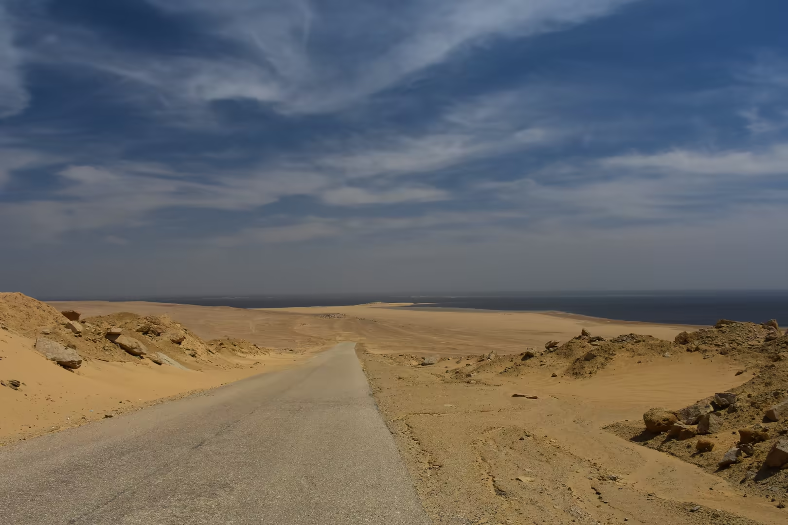
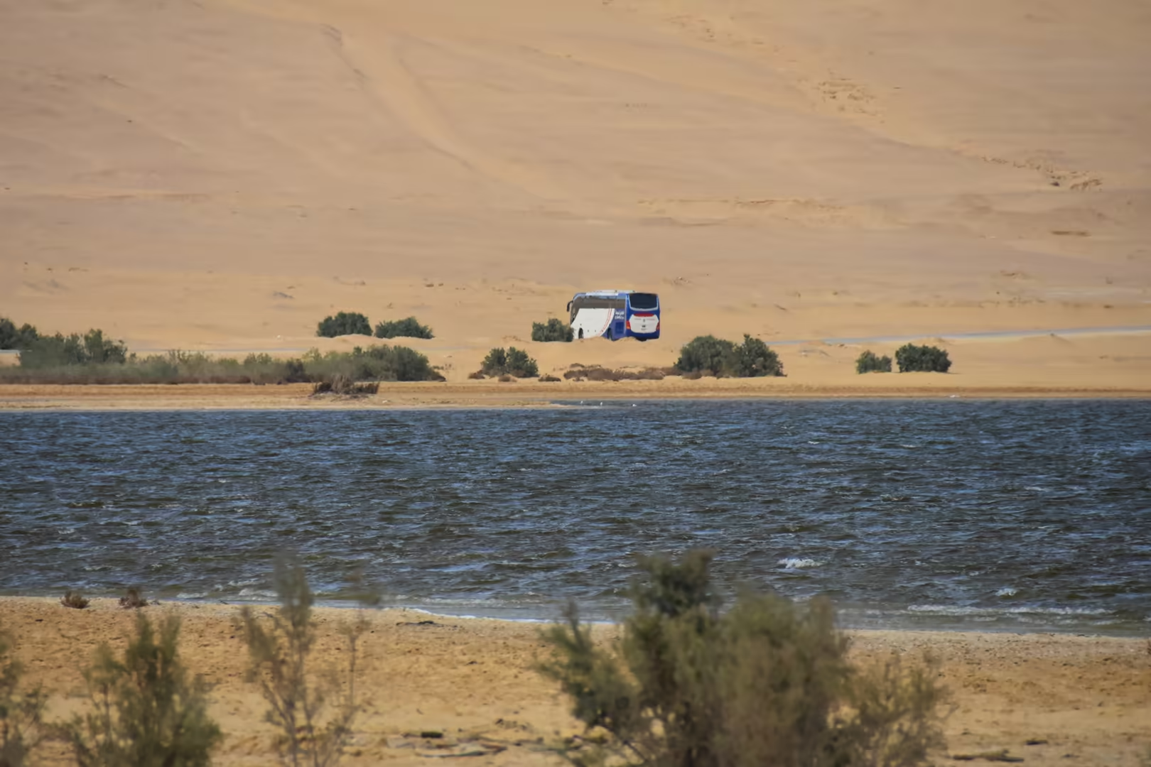
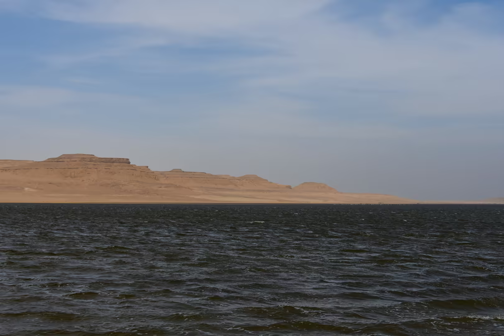
Where the road reaches the water, the lake opens out as a wide sheet of calm, saline water stretching to the escarpment of the far shore. The shores themselves are the great birdwatching ground of the region: plovers and pratincoles breed on the gravel beaches, and in winter the waters carry grebes, egrets, terns and great flocks of Eurasian ducks. Nearly ninety species of water bird breed or winter on the lake, which together with its shores has been protected since 2012 as a Ramsar site of international importance, and the Qarun Lake Protected Area is one of the great bird stations of inland Egypt. The lake is shallow, with a mean depth of barely four metres, and markedly more saline than the sea, yet its margins teem with life, and its birds, its fishing boats and its desert light draw visitors throughout the year.
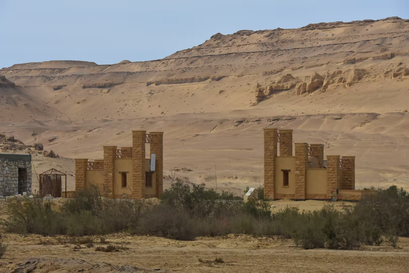
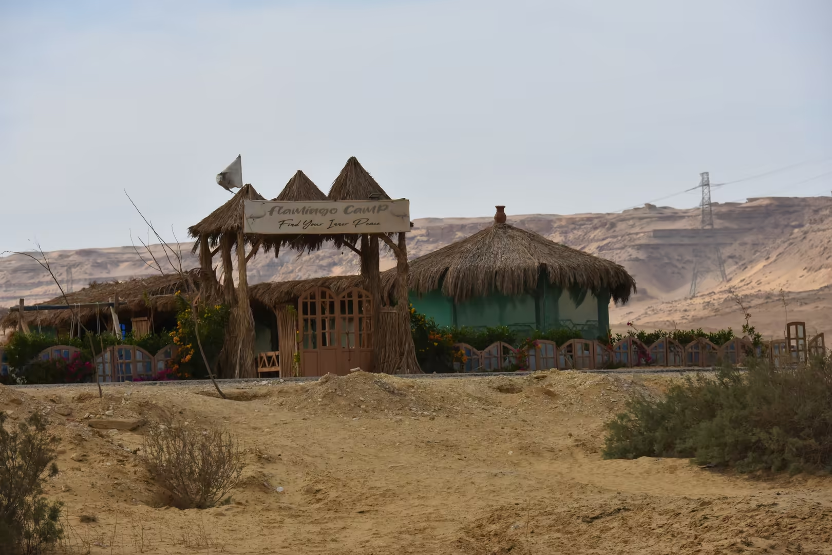
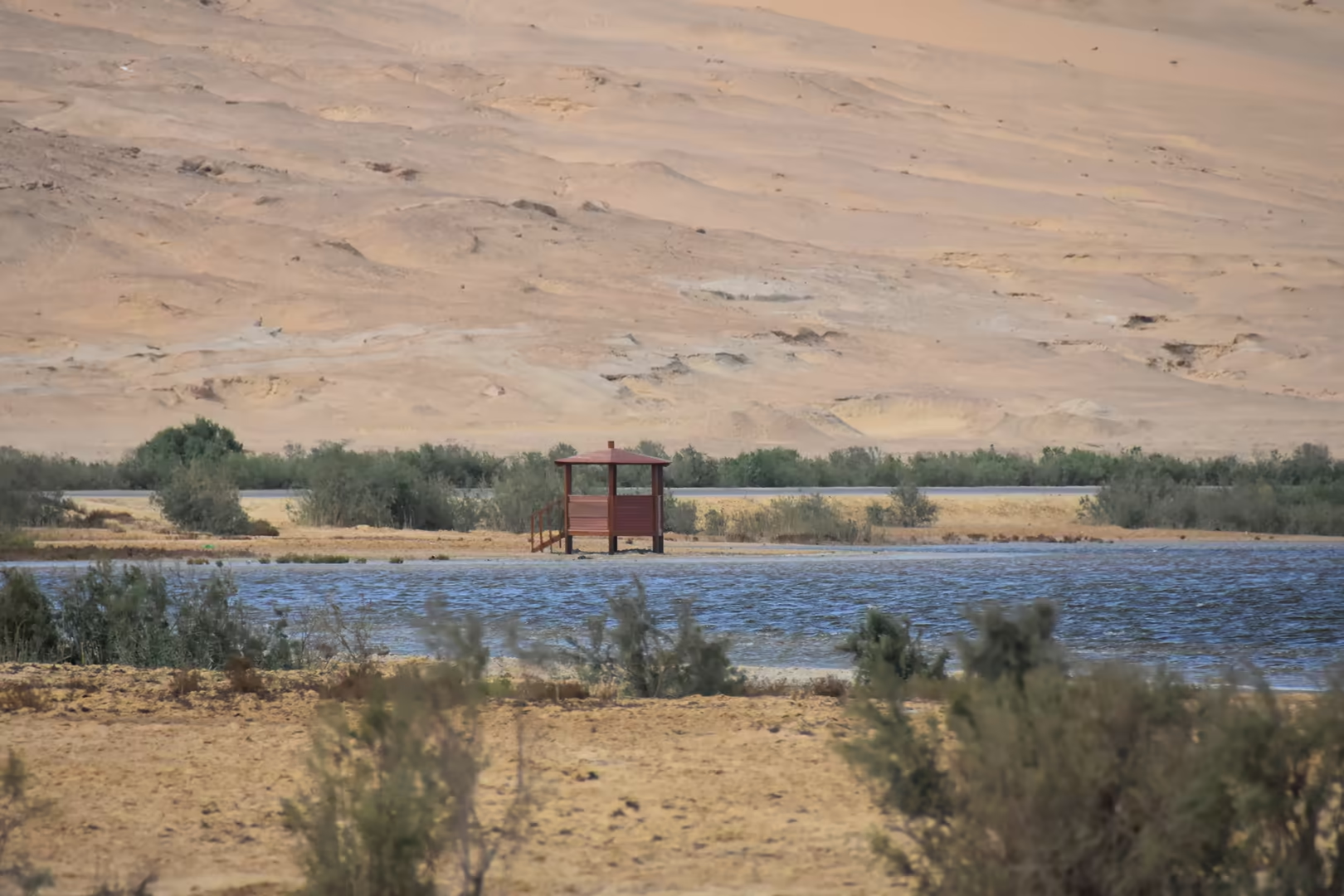
The thatched camp gates and wooden pavilions that stand in the shallows at several points along the water’s edge belong to the lakeside camps of the area. Built on stilts above the shallow water and reached from gardens planted with palms and reeds, they give shade and a close view of the lake and its birds, and they serve as bases for birdwatching along the protected shore.
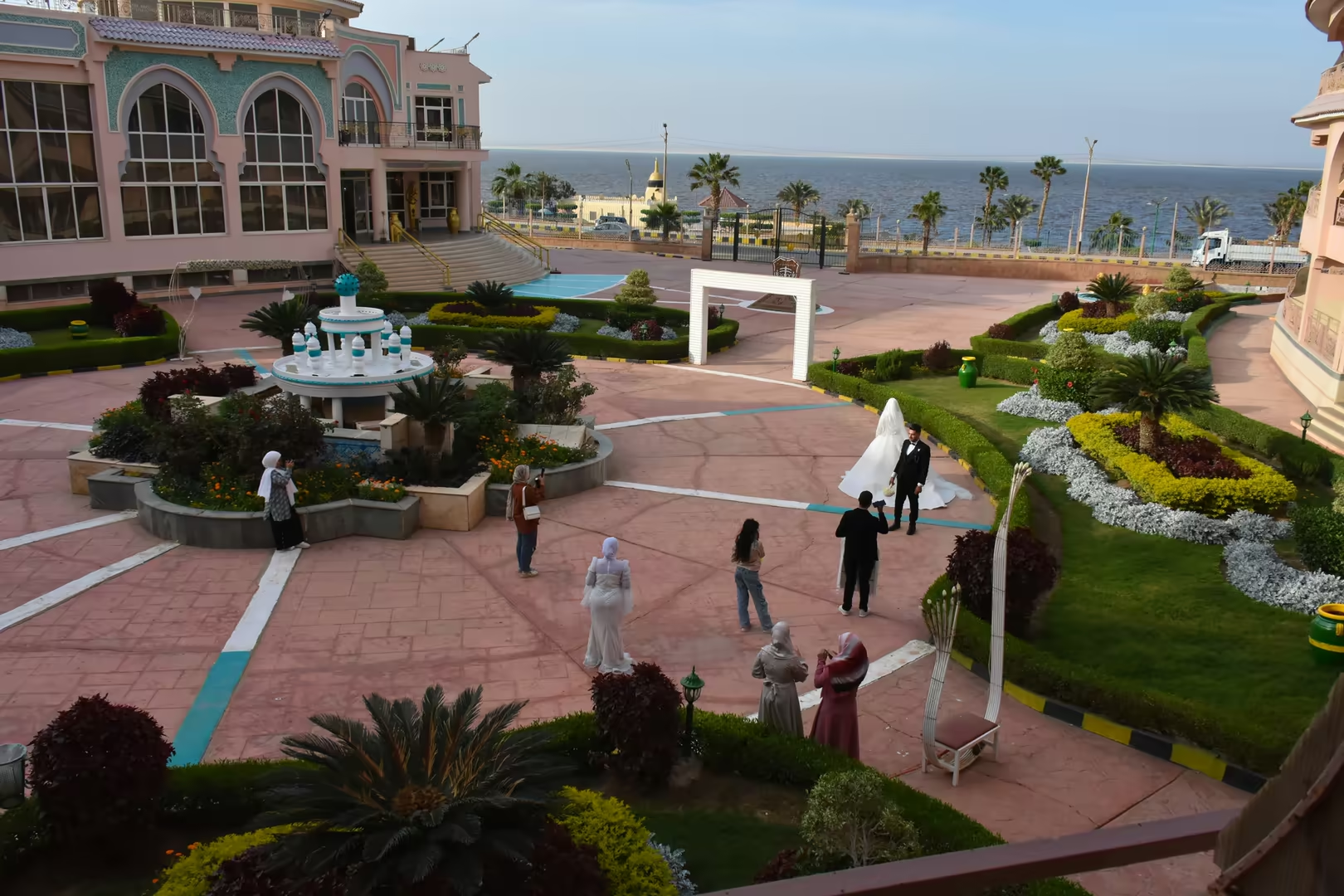
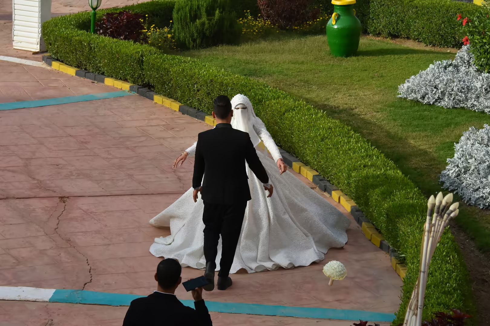
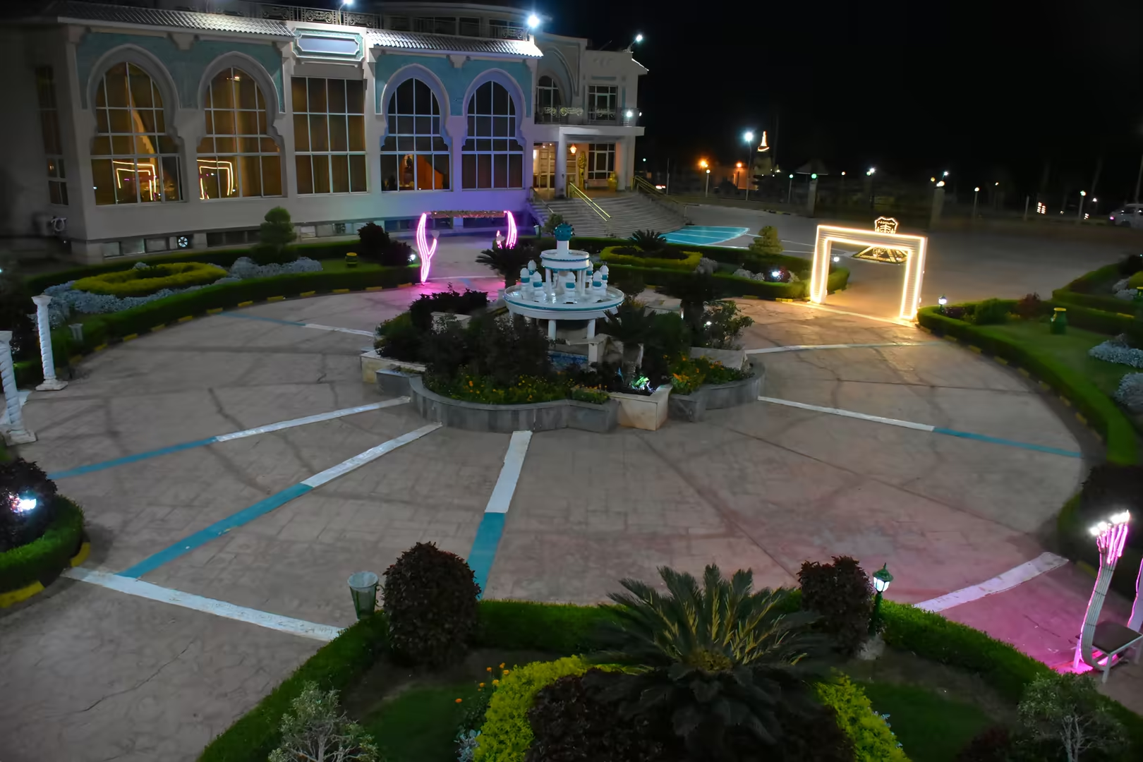
On the cultivated shores of the oasis, where the fields reach the water, palm gardens and small resorts line the lake. Terraces above the shore look out over the open water, and in the evening the illuminated gardens, with fountains and arches glowing among the palms, make the resorts a destination in their own right; the grounds are a favourite setting for wedding celebrations, and for visitors from Cairo the green shore of the lake remains a quiet refuge at the water’s edge.
References
- El-Shabrawy, G. M., & Dumont, H. J. (2009). The Fayum Depression and Its Lakes. In H. J. Dumont (ed.), The Nile: Origin, Environments, Limnology and Human Use (pp. 95-124). Dordrecht: Springer.
- Abdelmageed, A. A., Khalifa, U., Elsaied, H. E., Hamouda, A. Z., & El Gelani, S. S. (2022). Lake Qarun between entangled history and blurred future: Retrospectives and prospective. Egyptian Journal of Aquatic Research, 48(4), 299-306.
- Said, R. (1990). The Geology of Egypt. Rotterdam: A. A. Balkema.
- Lehner, M. (1997). The Complete Pyramids. London: Thames & Hudson.
- Brown University, Joukowsky Institute for Archaeology and the Ancient World. Lake Moeris. www.brown.edu/Departments/Joukowsky_Institute/courses/afterpharaohs2010/13390.html
- UNESCO World Heritage Centre (2005). Wadi Al-Hitan (Whale Valley). whc.unesco.org/en/list/1186/
- Wikipedia contributors (2026). Lake Moeris. en.wikipedia.org/wiki/Lake_Moeris
- Wikipedia contributors (2026). Faiyum. en.wikipedia.org/wiki/Faiyum
- Wikipedia contributors (2026). Bahr Yussef. en.wikipedia.org/wiki/Bahr_Yussef
- Wikipedia contributors (2026). Soknopaiou Nesos. en.wikipedia.org/wiki/Soknopaiou_Nesos
- Wikipedia contributors (2026). Hawara. en.wikipedia.org/wiki/Hawara
- Wikipedia contributors (2026). El Lahun. en.wikipedia.org/wiki/El_Lahun
- Wikipedia contributors (2026). Wadi al Hitan. en.wikipedia.org/wiki/Wadi_al_Hitan
- Wikipedia contributors (2026). Wadi El Rayan. en.wikipedia.org/wiki/Wadi_El_Rayan
- Wikipedia contributors (2026). Jebel Qatrani Formation. en.wikipedia.org/wiki/Jebel_Qatrani_Formation
- Wikipedia contributors (2026). Sobek. en.wikipedia.org/wiki/Sobek