Skip to content

Egypt · 2025

Day 17 - Drive to the Red Sea

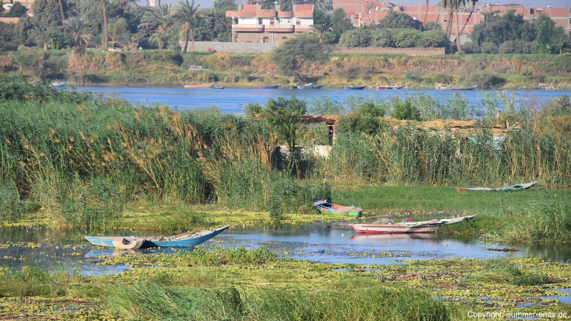
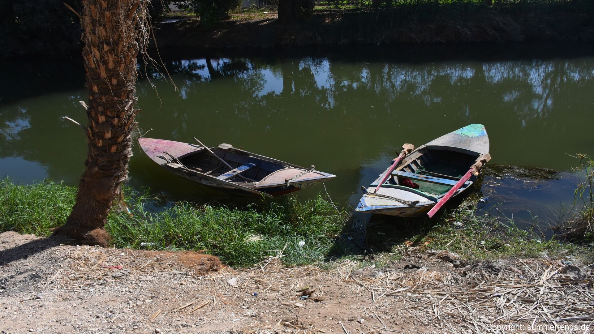
Small wooden boats rest at the river's edge among reeds and floating plants.
Journal Notes

General

East of the Nile valley in the district of Abydos, the road to the Red Sea crosses the breadth of Upper Egypt to the coast. The intervening country is the Eastern Desert (the deshret, the “Red Land”, of ancient Egyptian geography), the great arid tract between the cultivated valley and the sea, bounded on the west by the green floodplain and on the east by the Gulf of Suez and the Red Sea. Through its middle runs the chain of the Red Sea Hills, the crystalline mountains that separate the narrow coastal plain from the interior plateaus. The crossing links two worlds that could hardly differ more: from the densely peopled, irrigated valley of palms, canals and brick villages to a desert that has never supported permanent settlement except at its wells, mines and quarries.

The modern asphalt highways of the corridor follow ancient precedent. Roads running east from Qena towards Safaga and Hurghada, and the route through Wadi Hammamat from Qift and Qus towards El Qoseir, trace lines of trade and mining that were already ancient when the Romans rebuilt them with their forts and watering stations. For the traveller today the crossing is a matter of a few hours of empty road between the last palm groves of the valley and the first view of the sea, watched over at long intervals by police posts and checkpoints, with the Red Sea Hills rising and falling on the horizon.

Climatically the region is hyper-arid (BWh after Köppen): the sun is fierce throughout the year, rain is rare and capricious, and vegetation is confined to the watercourses and to the narrow littoral. On the coast the corridor now belongs to Egypt’s Red Sea Riviera. The growth of Hurghada since the 1980s has turned the old highway into one of the country’s principal tourist routes, while Safaga, founded in antiquity as Philotera, remains the outlet for the phosphate mines of the interior. The steady winds of the Gulf of Suez corridor carry some of the largest wind farms in Africa, whose turbines stand on the skyline above the coast.

History

The Eastern Desert preserves some of the earliest traces of humanity in Egypt: flint tools found in its wadis are thought to be roughly 250,000 years old, and rock art of the fifth and fourth millennia BC (including the only painted petroglyph known from the region and boat drawings dated to about 4000 BC) records the earliest crossings towards the sea. Aridification after about 25,000 BC drove the hunters and herders of the region towards the Nile, yet the desert was never empty, and by the beginning of dynastic history its wadis were already routes of trade and mining.

Mining and quarrying were the desert’s earliest industries. Grey-green metagreywacke from Wadi Hammamat (bekhen stone to the Egyptians) supplied palettes, vessels and statues from the very beginning of dynastic history; the Narmer Palette of c. 3100 BC was carved from it. Senusret I sent mining expeditions to Hammamat, and Seti I is credited with sinking the first well in the valley. New Kingdom prospectors worked the gold veins of the interior, and a quarrying expedition of the late New Kingdom, about 1150 BC, is documented on the Turin Papyrus Map, the earliest known geological map, which plots the roads, wells and workings of the Wadi Hammamat region. For the voyages to Punt, boats were carried in pieces across the desert and assembled at ports on the coast, such as Mersa Gawasis.

The two great caravan roads of the corridor began at Qift (the ancient Gebtu, chief city of the fifth Upper Egyptian nome, called Coptos by the Greeks), whose god Min was the patron of the desert to the east. One road ran through Wadi Hammamat to the port later known as Myos Hormos, near modern El Qoseir; the other struck south-east across the desert to Berenike. Berenike, founded in 275 BC by Ptolemy II and named for his mother, lay 258 Roman miles (an eleven days’ journey) from Coptos, with watering stations (hydreumata) at intervals; Strabo records that in the time of Augustus up to 120 ships sailed each year from Myos Hormos to India, and the Periplus of the Erythraean Sea describes the pepper, spices and other goods of that trade. Roman forts and way stations, the praesidia, guarded these roads and left the ostraca (inscribed potsherds) on which much of our knowledge of desert life depends.

The Romans also industrialised the mountains. At Mons Claudianus, about 120 km east of the Nile and some 700 m above sea level in the Red Sea Hills, granodiorite was quarried from the first to the mid-third century AD for monuments of the capital, including the grey columns of the Pantheon portico and of Hadrian’s villa at Tivoli. The settlement held close to a thousand people (soldiers, skilled stonecutters and labourers), supplied along a road of fortified way stations a day’s journey apart. Some fifty kilometres away, Mons Porphyrites (Gebel Dokhan), the only ancient source of the purple “imperial” porphyry, was opened in AD 18 and worked into the fifth century; its stone was dropped down slipways and hauled across the desert to the Nile to become the porphyry columns and imperial sarcophagi of Rome and Constantinople.

The peoples of the desert were as enduring as its roads. The Blemmyes, ancestors of the Beja, are attested in the hills from the fourth century AD by their distinctive pottery; their descendants, the Ababda and the Ma’aza, herded camels and goats between the Nile and the sea and long controlled the traffic of their territory, the Ababda levying tolls on the goods that crossed their lands. European rediscovery came late: James Bruce described Wadi Hammamat in 1769, Belzoni identified the ruins of Berenike in 1818, Wilkinson and Burton found Mons Claudianus in 1823, and Golenishchev made the first systematic study of the Hammamat inscriptions in 1884-85. In the twentieth century asphalt bound the desert to the coast: Safaga, founded in antiquity as Philotera in the early third century BC, became the outlet for the phosphate mines of the interior, and from the 1980s the growth of Hurghada turned the old corridor into one of Egypt’s principal tourist highways.

Geology

Geologically the Eastern Desert is dominated by the Arabian-Nubian Shield, the great expanse of Precambrian crystalline rocks exposed on either flank of the Red Sea. The Egyptian part consists almost entirely of Neoproterozoic terranes (island arcs, back-arc basins and slivers of older continental crust), accreted to the margin of the African craton between about 870 and 550 million years ago during the Pan-African orogeny; the sutures between the terranes are marked by belts of ophiolite, the obducted fragments of ancient sea floor. In the Eastern Desert proper these basement rocks date from roughly 810 to 720 million years, and they include serpentinised peridotites, island-arc volcanics, metasediments and the gneisses of domes such as Gebel Meatiq.

Two rock groups of this basement dominate the human story of the region. The Dokhan volcanics, a thick pile of dacites and rhyolites erupted some 625-600 million years ago, carry the large feldspar crystals that give the purple imperial porphyry of Mons Porphyrites its distinctive texture; the Hammamat Group, a sequence of greywackes and siltstones laid down in intermontane basins, supplied the green-grey bekhen stone of Wadi Hammamat. Both were deformed and intruded by granites in two pulses, about 709-614 and 596-544 million years ago. The gold of the Eastern Desert occurs almost exclusively within these Neoproterozoic rocks: auriferous quartz veins fill shear zones in the ophiolites and their contacts with the granite, and it was such veins that the New Kingdom miners followed at Wadi el-Sid and elsewhere, while Ptolemaic and Roman workings with their round crushing mills survive at Umm el-Fawakhir.

The present relief is young. For much of the Cretaceous and Palaeogene the region lay beneath the Tethys Ocean, whose limestones and sandstones still cap the plateaus west of the mountains. From the Oligocene, about 34 million years ago, the opening of the Red Sea rift tilted the land, raised the Red Sea Hills and stripped the sedimentary cover from the shield: the hills are thus not ancient mountains but the old basement uplifted some 23-34 million years ago and dissected by renewed erosion. Spreading along the Red Sea axis continues today at about one centimetre a year; the Gulf of Suez, itself a rift of roughly 26 million years but now inactive, preserves the earlier, failed stage of the same separation, and thick evaporite sequences accumulated in the young basin before the sea finally flooded it in the Pliocene.

On the surface the dominant landforms are the wadis, the dry valleys that drain the mountains both eastwards to the sea and westwards to the Nile. Their floors carry the gravels of flash floods (rare, violent winter storms deliver almost all of the region’s water), and their beds hold the wells at which every ancient road paused and watered. Between the wadis stretch gravel plains and dark desert pavements, and the geology of the crossing changes colour as the road climbs: dark serpentinite and green metavolcanics in the lower wadis, pink granite in the high massifs, and on the final descent towards the coast the pale limestone of the plateau edge above the narrow coastal plain.

Things to See

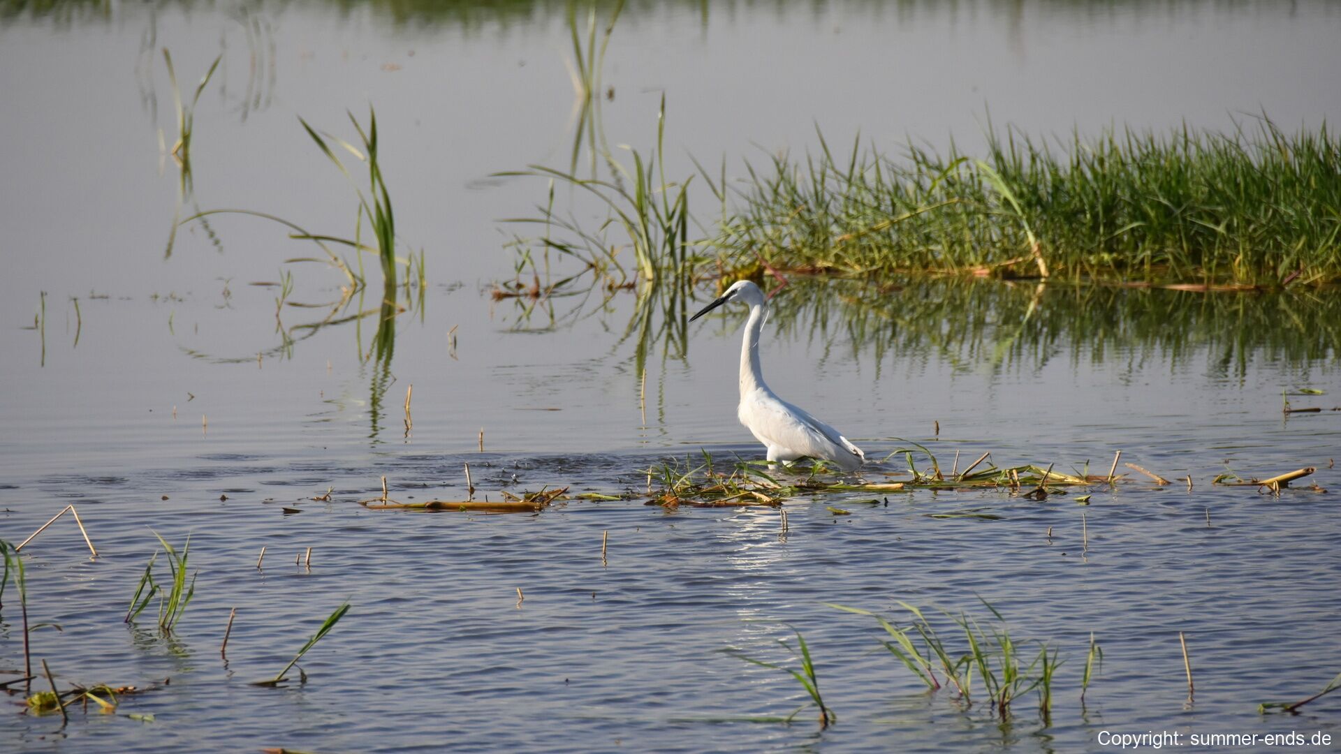
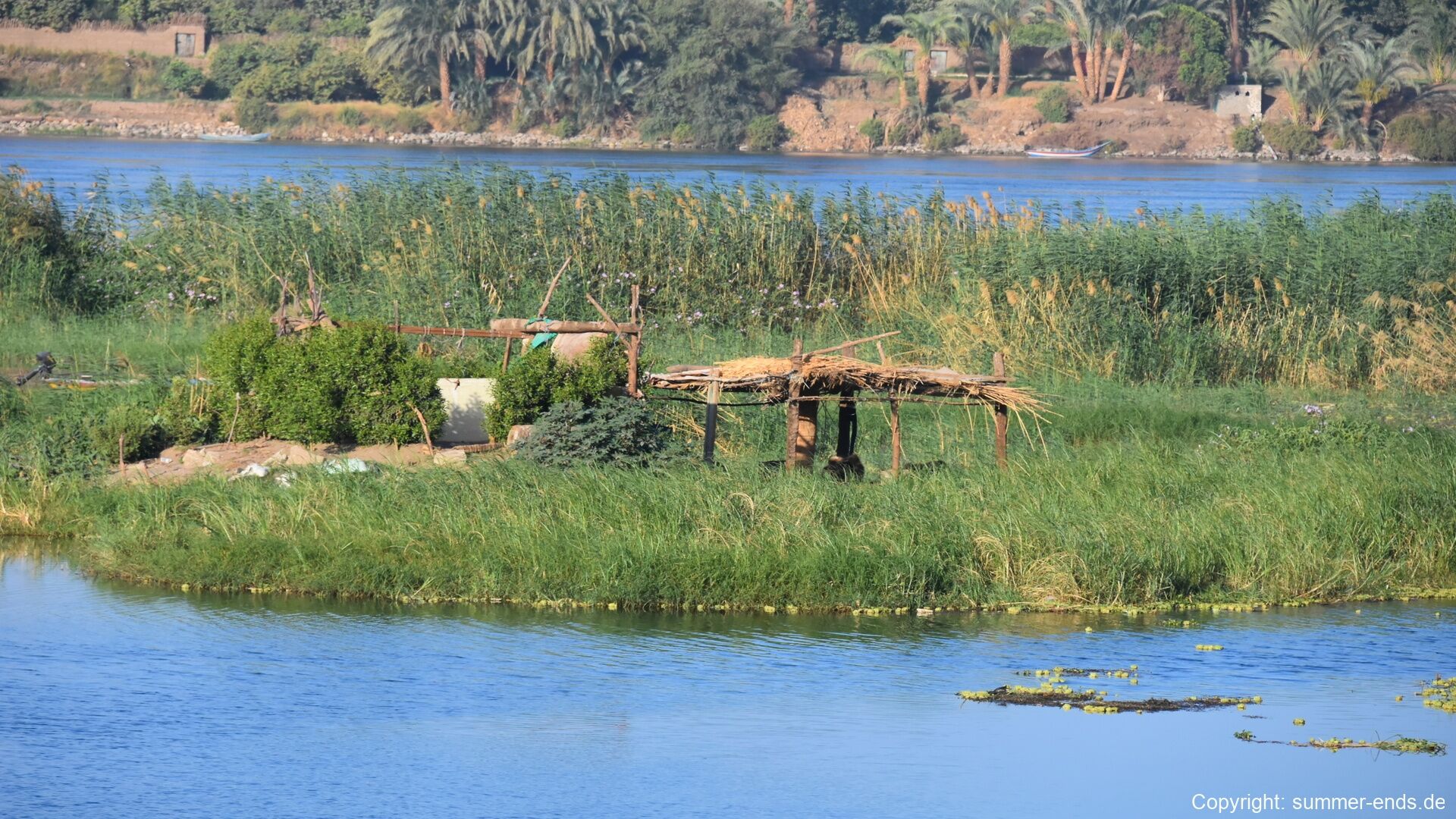
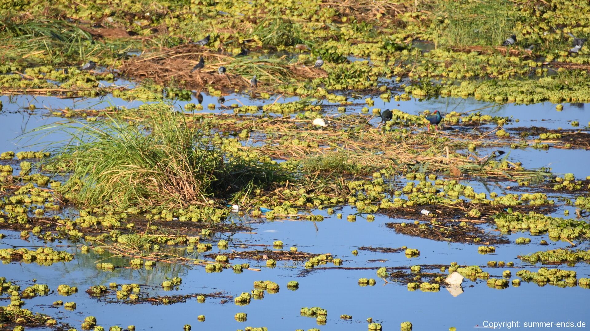
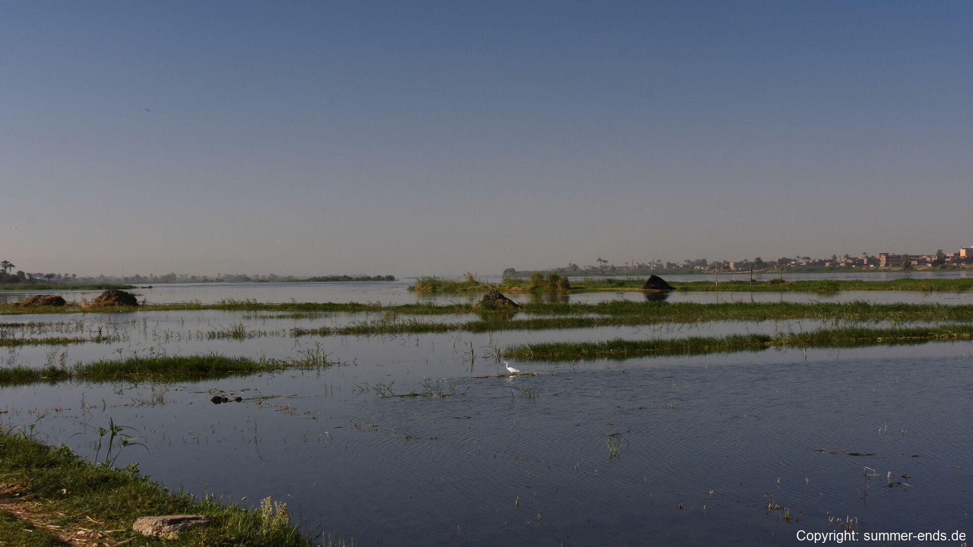
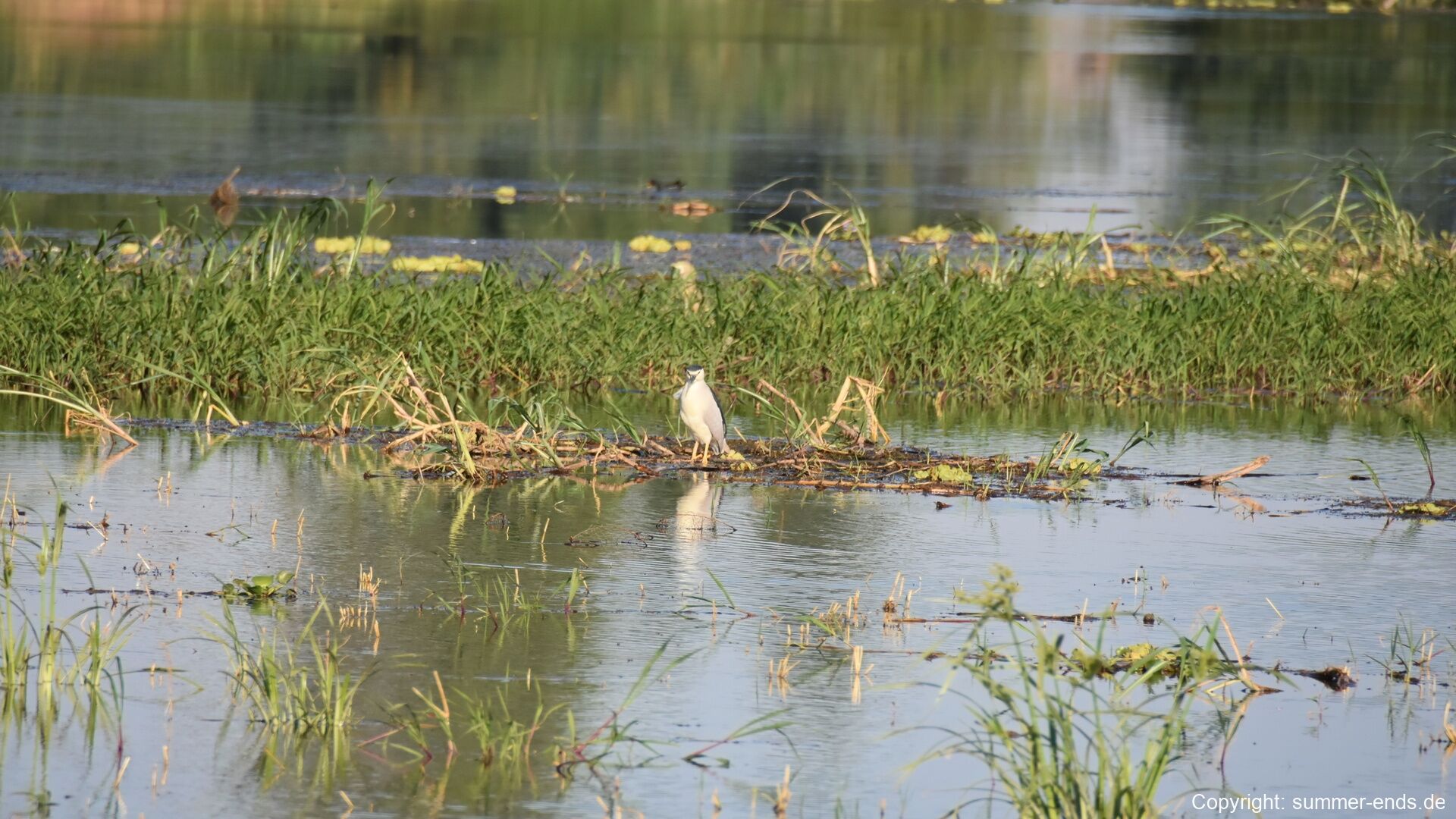
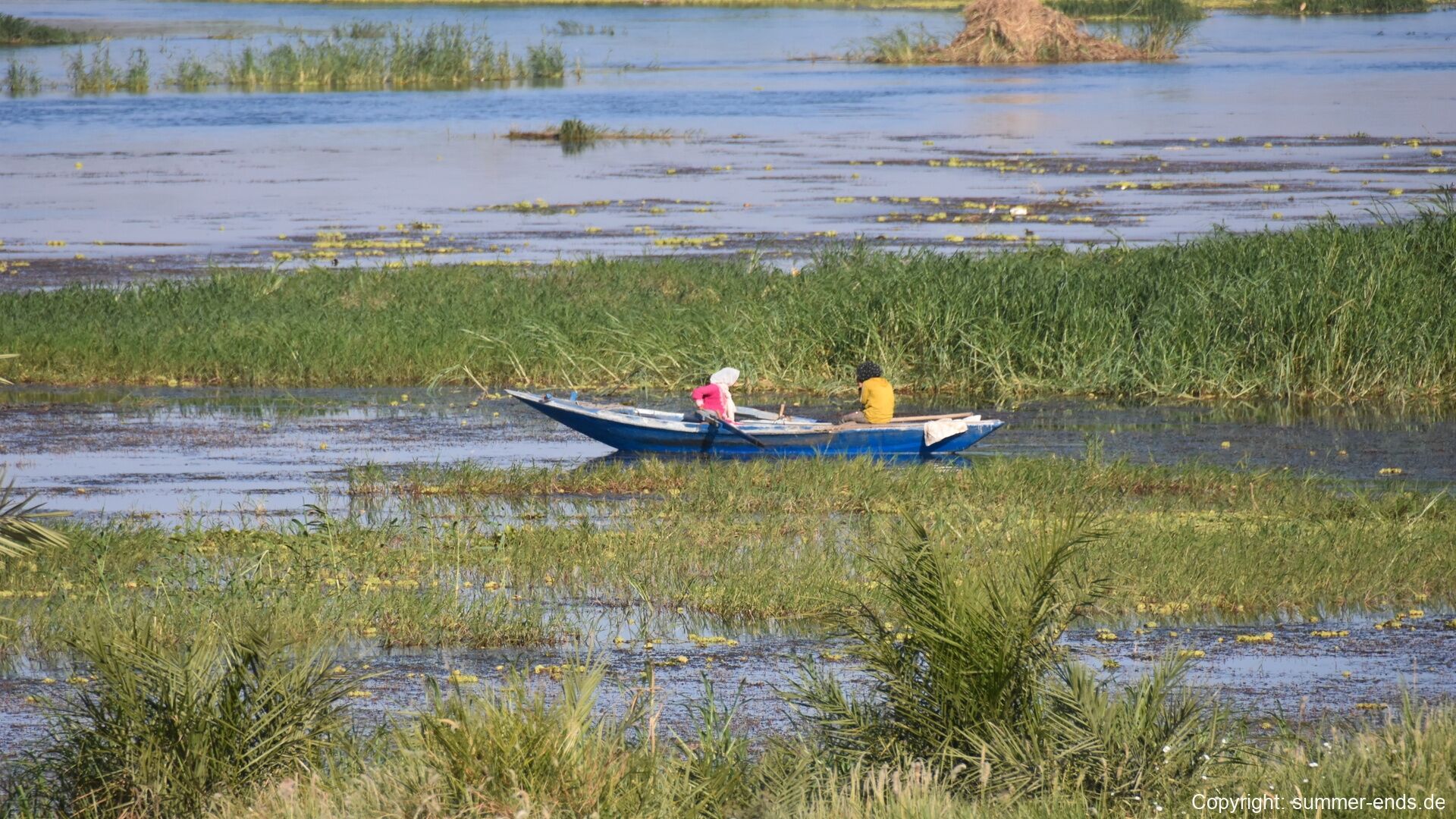
The shore of the Nile at the western end of the route is a classic riverscape of Upper Egypt. Dense stands of tall reeds line the banks, where simple shelters thatched with dried reeds stand in the grass at the water’s edge and small wooden fishing boats lie moored among the channels. Mats of water hyacinth drift against the shore, picked over by small dark waterbirds; white egrets stand motionless in the shallows, and herons keep watch from the tiny islands of reeds and mud that break the broad, slow river into quiet channels between palm-fringed shores.

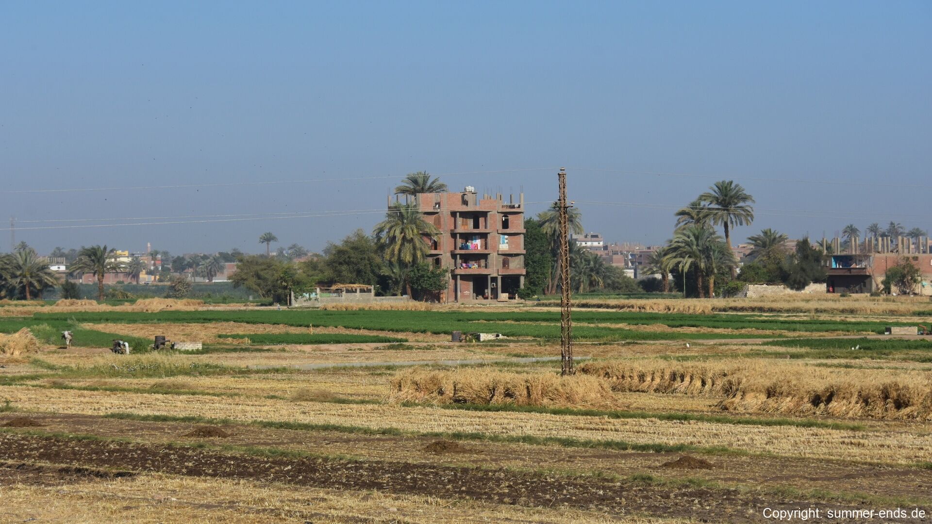
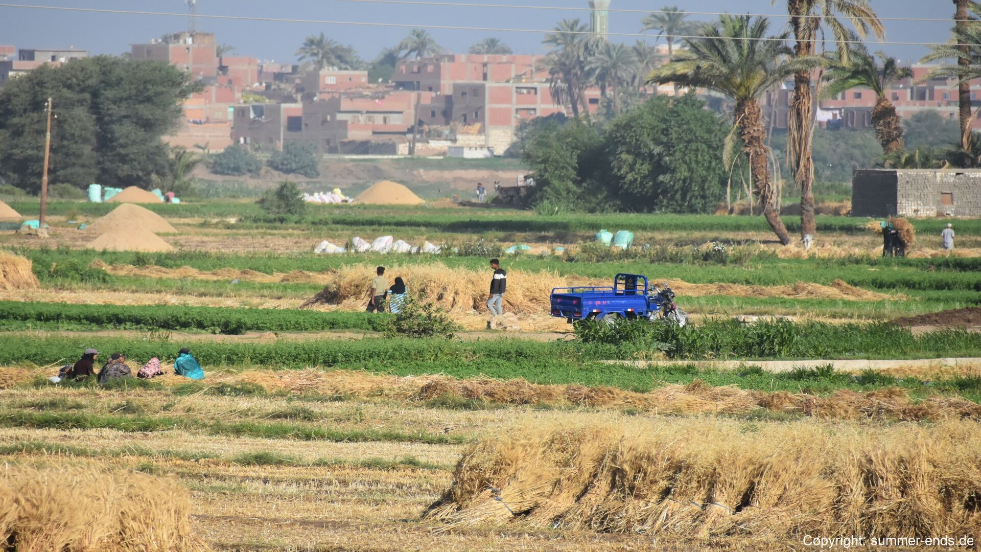
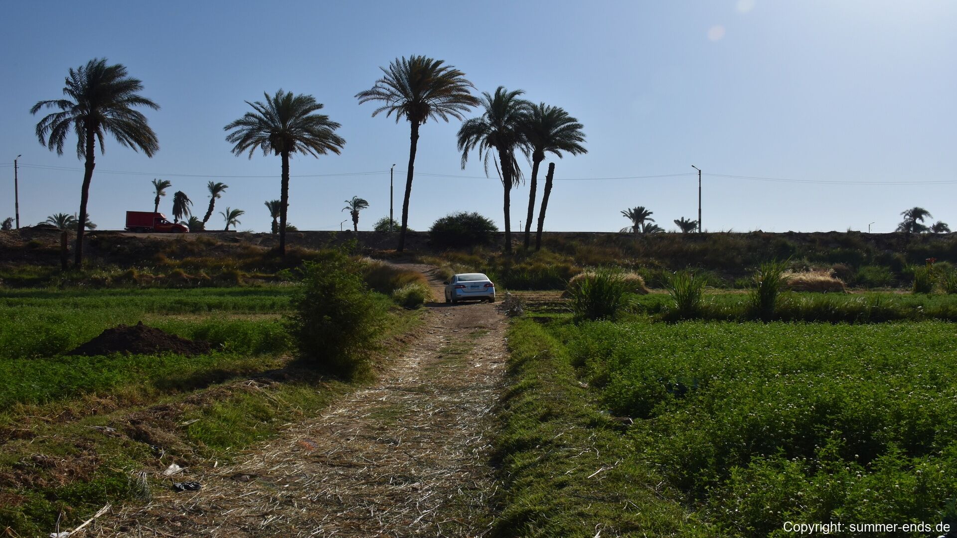
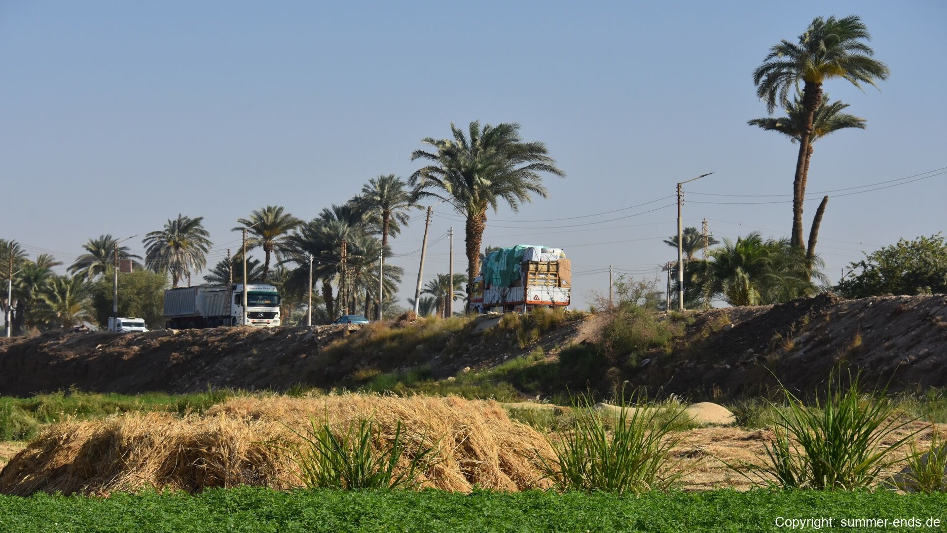
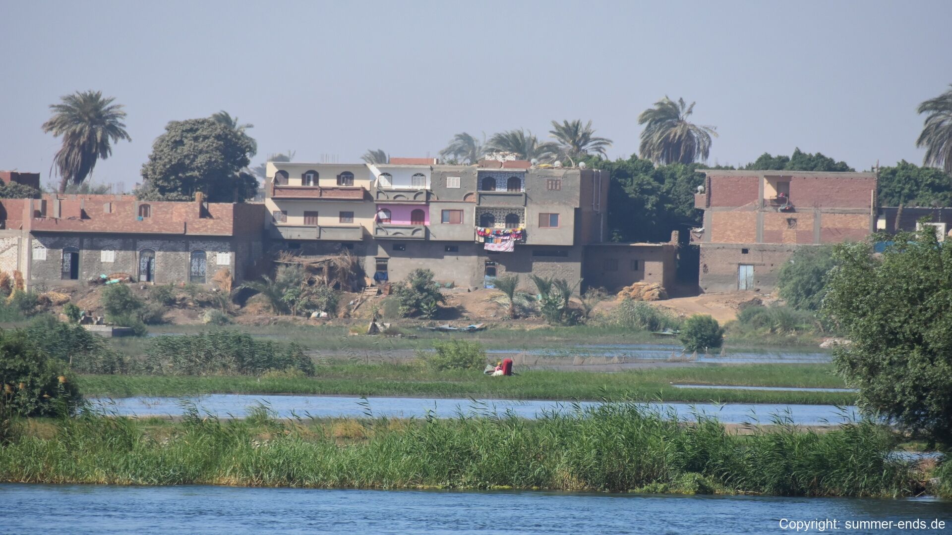
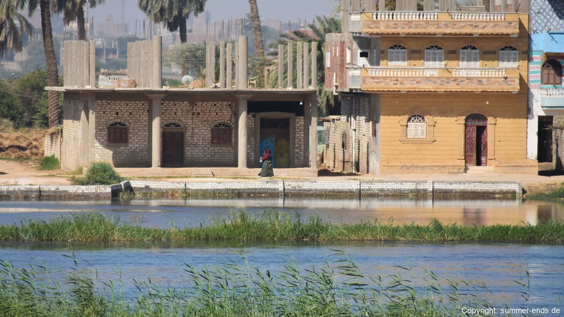
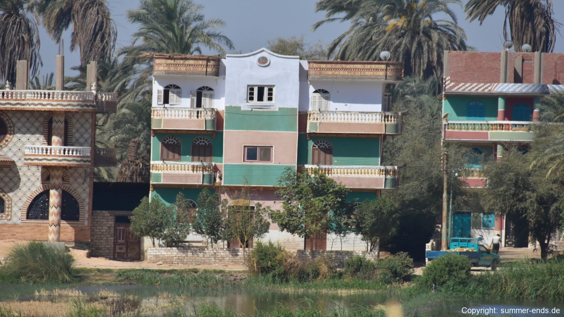
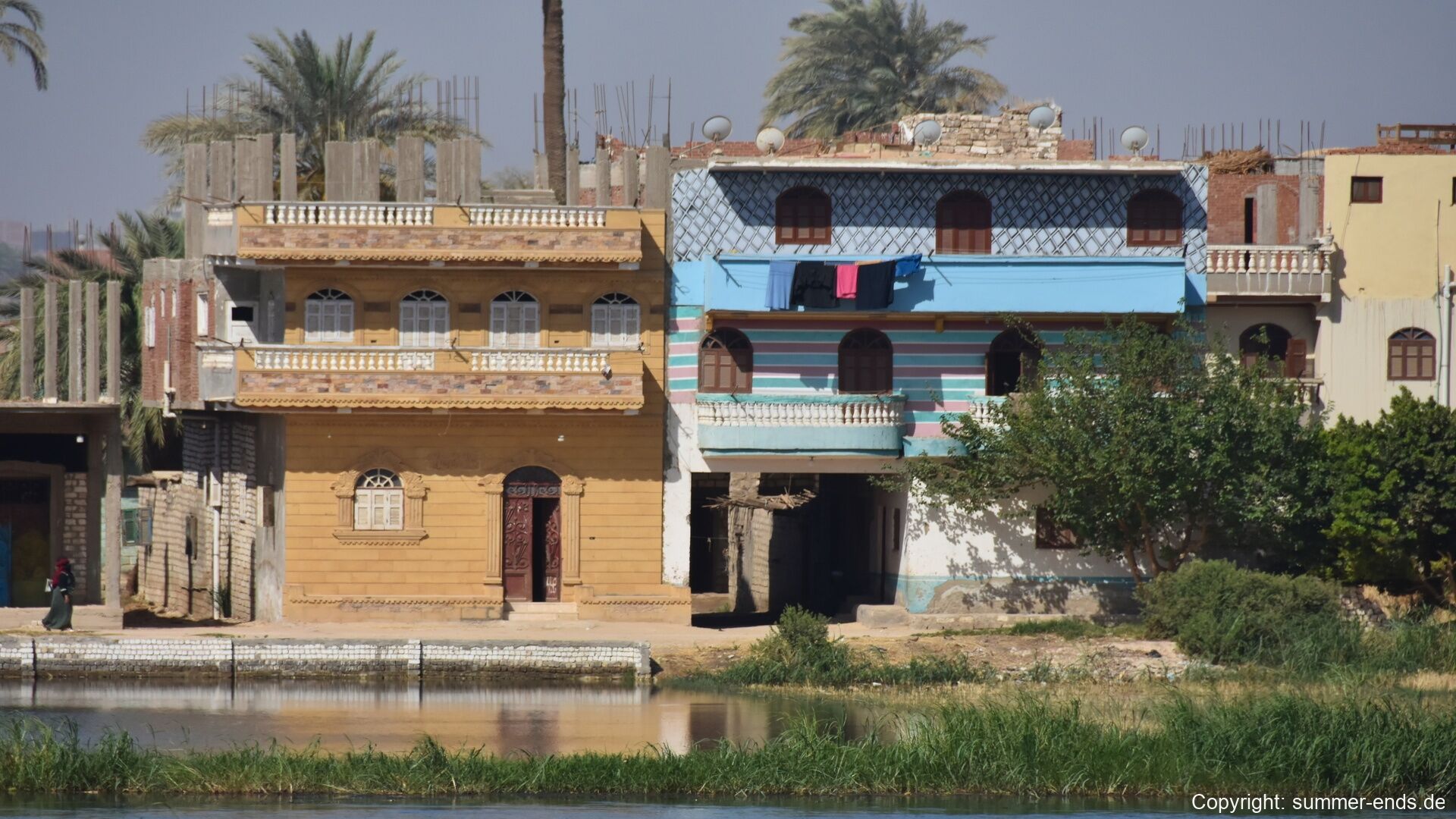
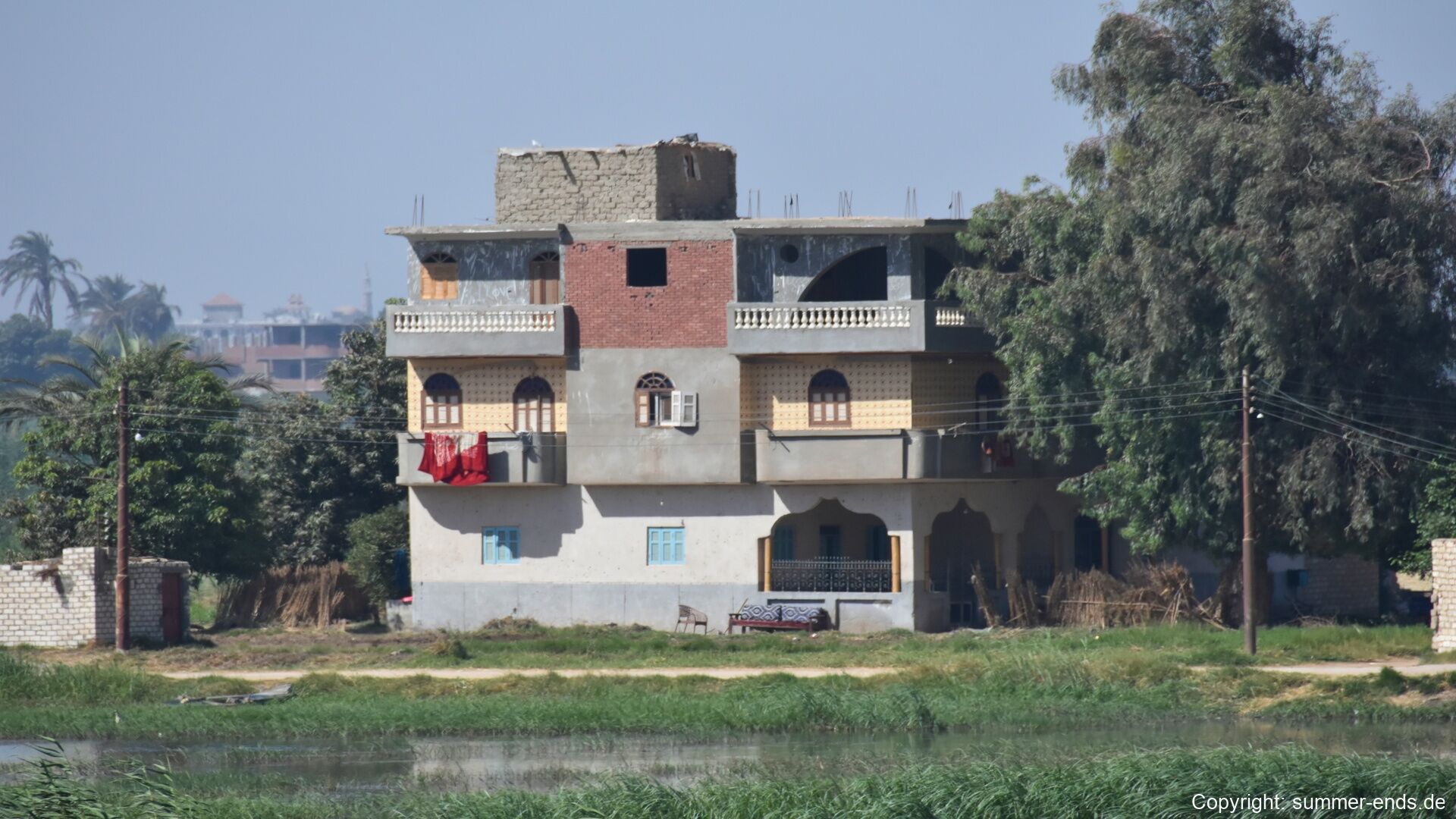
On the east bank the cultivated floodplain is a dense mosaic of field crops and date palms, worked from the narrow tracks that run between the fields. Straw is cut and gathered by hand while trucks wait on the embankment roads, and the villages of the canal country line the waterways: brick houses rise above the water, their painted facades in ochre, blue and pastel colours hung with laundry, and new construction of red brick and bare concrete spreads at every edge. Building in Upper Egypt is a slow, generational affair, and the bare red-brick shells that punctuate every village, their columns of reinforcing steel pointing at the sky, are the normal intermediate state of almost every house.

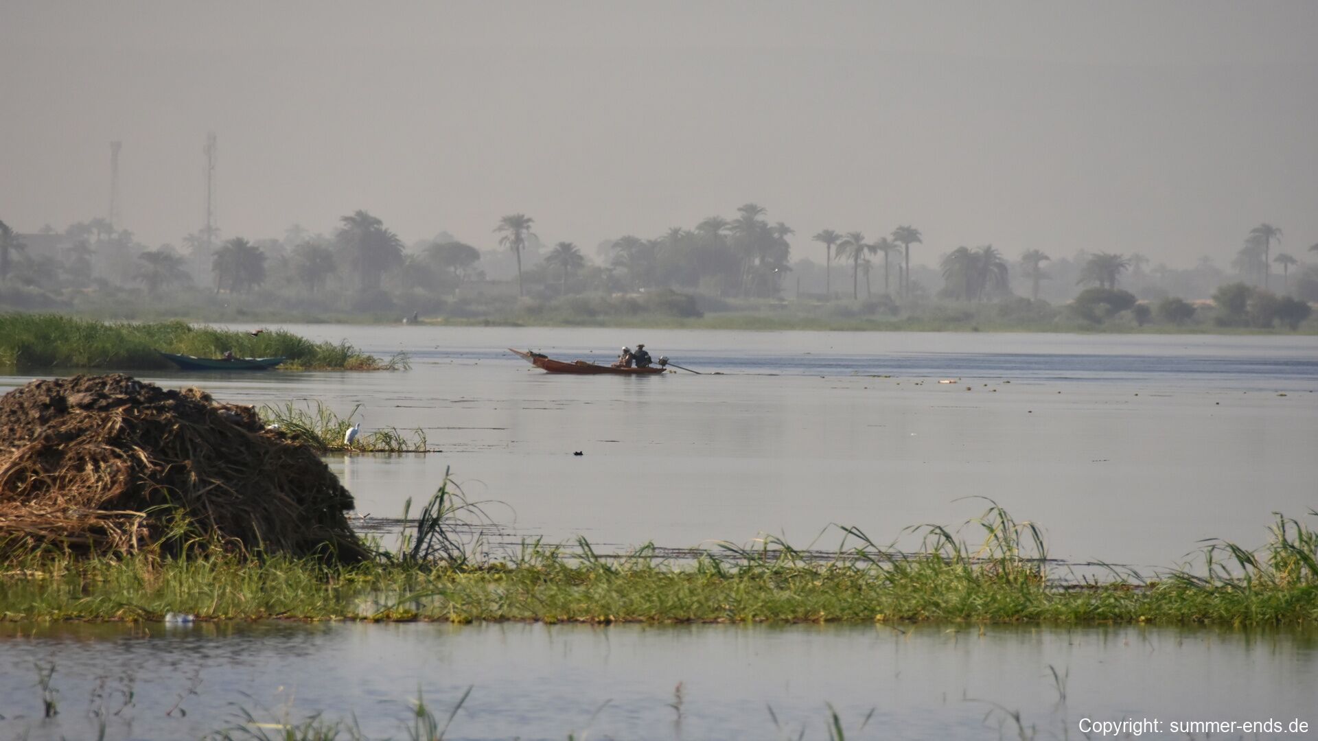
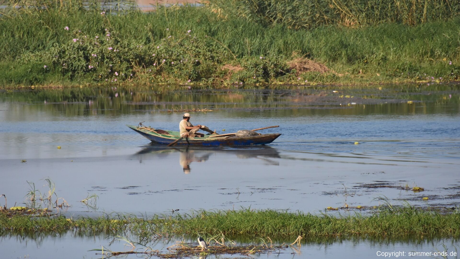
The river and its canals carry a steady traffic of small boats. Passenger ferries cross the broad water between the west bank and the east, where the roads to the sea begin, passing grassy islands that break the slow current into quiet channels. On the waterways of the floodplain fishermen work the reed-lined channels in small blue wooden boats, lone oarsmen row across the still reaches where wading birds stand in the shallows, and weathered rowing boats lie moored on the grassy banks beneath the palms.

The road east leaves the cultivation where the green ends at a line of bare hills. The asphalt follows the ancient corridor from Qena towards Safaga and Hurghada, and the parallel route through Wadi Hammamat from Qift and Qus towards El Qoseir crosses the same ground over which three thousand years of inscriptions, forts and quarry roads once ran. Beyond the last fields the gravel floors of the wadis open between the dark massifs of the Red Sea Hills, which rise above 2,000 m; an occasional acacia stands in a watercourse, and kilometre posts and police checkpoints mark the long, empty middle stretch. The geology of the crossing changes colour as the road climbs, from dark serpentinite and green metavolcanics in the lower wadis to pink granite in the high massifs and, on the final descent, the pale limestone of the plateau edge above the narrow coastal plain.

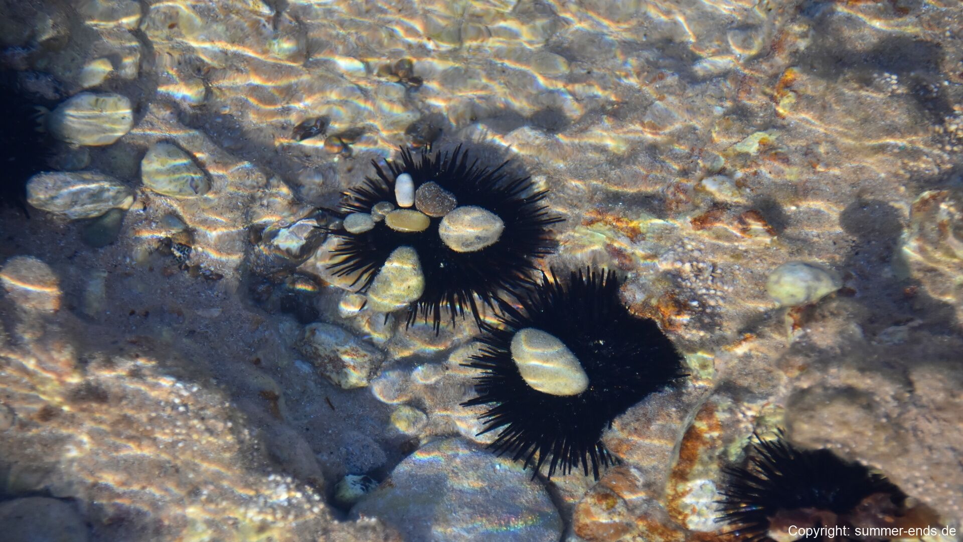
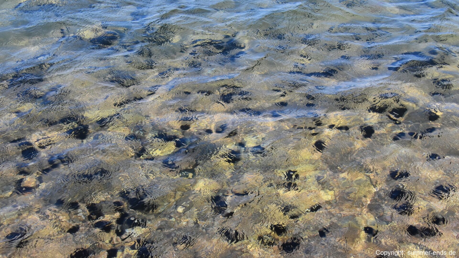
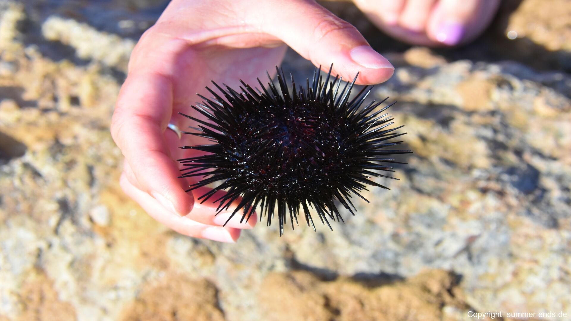
The shore at the end of the crossing is gentle rather than dramatic: it is not the reef wall of popular imagination but a lagoon coast. The water over the sandy bottom is so clear that every pebble is visible beneath the ripples, and the sunlit shallows are crowded with long-spined black sea urchins, animals of the kind that habitually balances stones and shell fragments on its spines as camouflage. The crystal water of the reef flats marks the point where the desert road meets the sea.

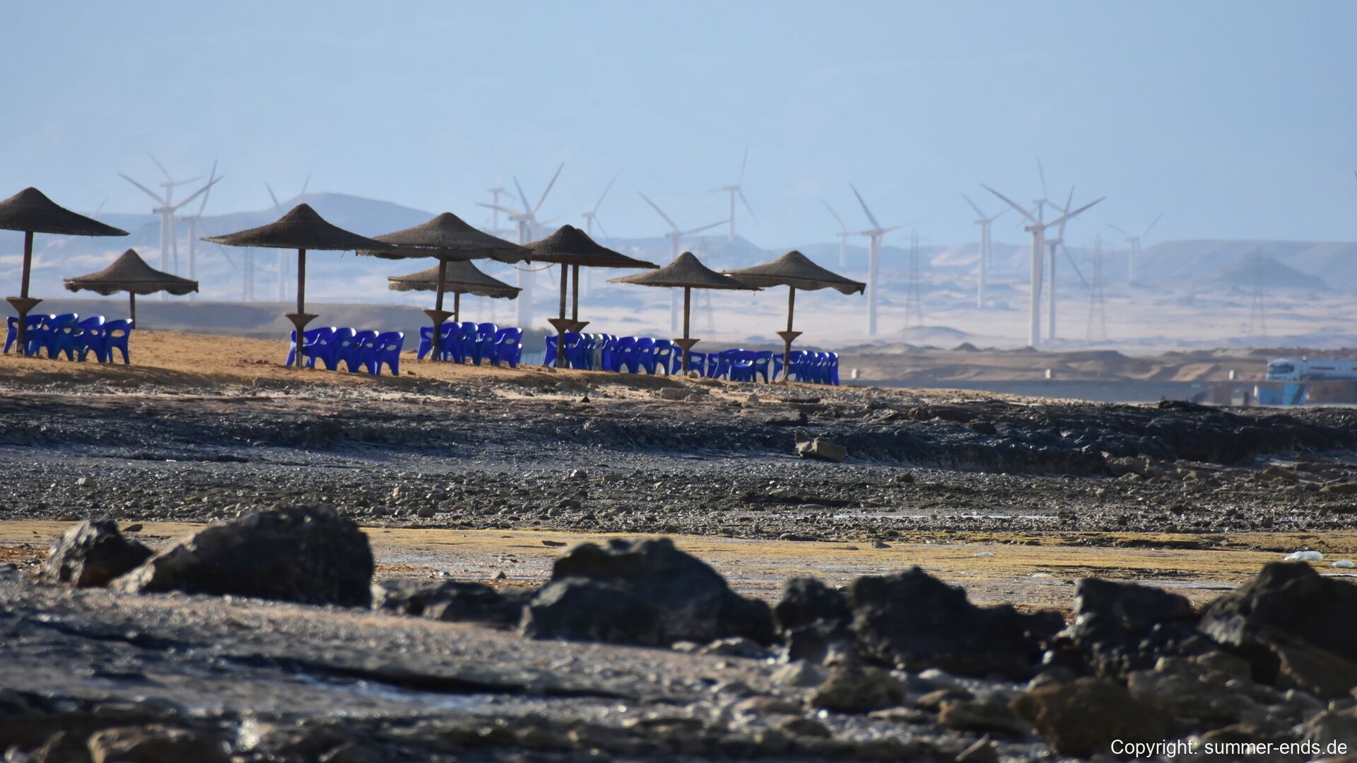
A few paces from the water the resort beach of the Red Sea Riviera begins. Rows of blue loungers stand beneath straw parasols on the sand, and a low seafront of tan buildings faces the calm, wave-lapped water. Beyond the beach the wind turbines of the Gulf of Suez corridor rise on the hazy skyline, where some of the largest wind farms in Africa now stand, their white towers visible from the water’s edge.

References

  1. Hobbs, J. J. (1989). Bedouin Life in the Egyptian Wilderness. Austin: University of Texas Press.
  2. Klemm, R., & Klemm, D. (2013). Gold and Gold Mining in Ancient Egypt and Nubia: Geoarchaeology of the Ancient Gold Mining Sites in the Egyptian and Sudanese Eastern Deserts. Berlin: Springer.
  3. Sidebotham, S. E. (2011). Berenike and the Ancient Maritime Spice Route. Berkeley: University of California Press.
  4. Sidebotham, S. E., Hense, M., & Nouwens, H. M. (2008). The Red Land: The Illustrated Archaeology of Egypt’s Eastern Desert. Cairo: The American University in Cairo Press.
  5. IFAO: Institut français d’archéologie orientale. Eastern Desert programme and publications. www.ifao.egnet.net/
  6. Polish Centre of Mediterranean Archaeology, University of Warsaw. The Berenike Project. pcma.uw.edu.pl/
  7. Wikipedia contributors (2026). Eastern Desert. en.wikipedia.org/wiki/Eastern_Desert
  8. Wikipedia contributors (2026). Arabian-Nubian Shield. en.wikipedia.org/wiki/Arabian-Nubian_Shield
  9. Wikipedia contributors (2026). Wadi Hammamat. en.wikipedia.org/wiki/Wadi_Hammamat
  10. Wikipedia contributors (2026). Mons Porphyrites. en.wikipedia.org/wiki/Mons_Porphyrites
  11. Wikipedia contributors (2026). Mons Claudianus. en.wikipedia.org/wiki/Mons_Claudianus
  12. Wikipedia contributors (2026). Qift. en.wikipedia.org/wiki/Qift
  13. Wikipedia contributors (2026). Myos Hormos. en.wikipedia.org/wiki/Myos_Hormos
  14. Wikipedia contributors (2026). Berenice Troglodytica. en.wikipedia.org/wiki/Berenice_Troglodytica
  15. Wikipedia contributors (2026). Ababda people. en.wikipedia.org/wiki/Ababda_people
  16. Wikipedia contributors (2026). Red Sea Rift. en.wikipedia.org/wiki/Red_Sea_Rift