Day 10








Journal Notes
General
The tenth stage of this series crosses the island in a single day, from a village in the highlands down to the south coast, along the sea cliffs and back into the mountain valleys. Madeira is the largest and most populous island of its archipelago, with 245,595 residents counted in 2021, and roughly half of the population of the region lives in Funchal on the southern shore. The route touches the busy side and the quiet side of the island within a few hours: fishing harbour, bathing beach, cliff road, river town and plateau.
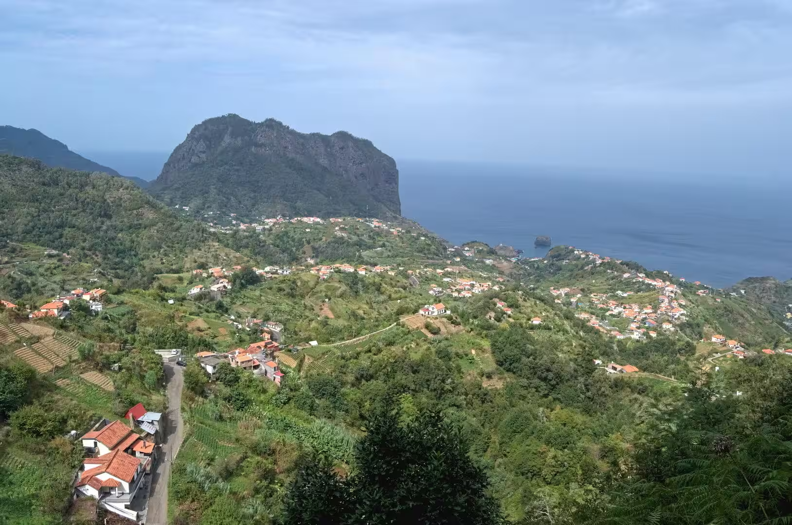
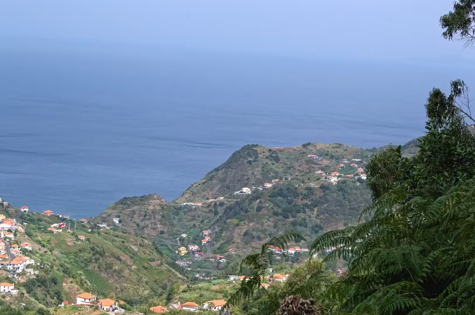
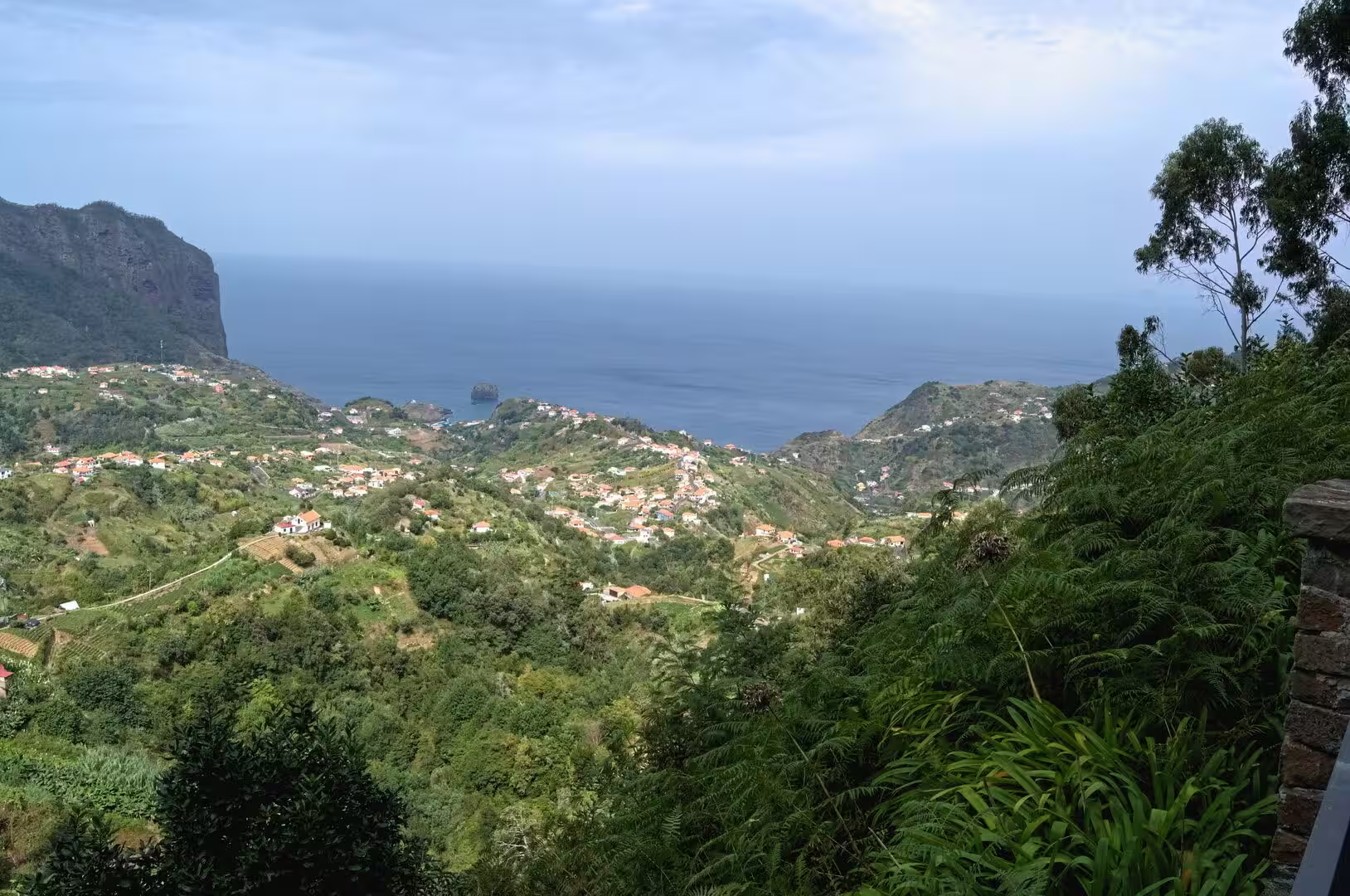
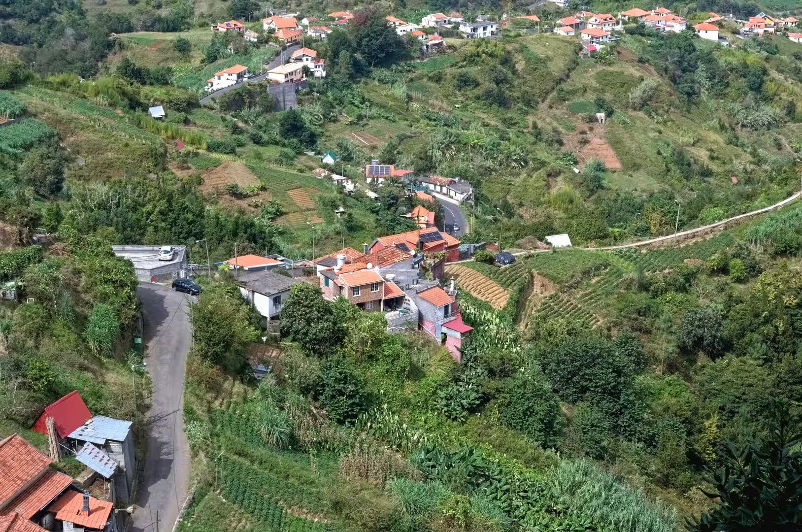
Relief and exposure produce the contrasts of the day. Moist air from the Atlantic is forced upward by the central ridge, so the north is wetter than the south, and the island holds a wide range of conditions over short distances. The interior remains largely mountainous and sparsely populated, while settlements cluster along the coast and in sheltered valleys; roads, villages and farmland follow the contours, and the same hillside can carry terraced plots, a road and a row of houses one above the other.
The archipelago lies in the region of Macaronesia, together with the Azores, the Canary Islands and Cape Verde, and sits on the African tectonic plate while belonging politically to Europe. Its population was 256,622 in 2023, of whom 94.5 percent were born in Portugal and 14,060, or 5.5 percent, were foreign born; the largest groups came from the United Kingdom, Brazil, Germany and Venezuela. The region is an outermost part of the European Union, and its mild climate supports tourism all year.
The day’s programme is broad by design. It includes a bathing beach with straw parasols and wooden walkways, a sheltered fishing bay with a stone harbour wall, the highest cliff skywalk in Europe, a river town whose name means angry river, a valley of cherries and vines enclosed by steep slopes, the foggy plateau in the centre of the island and a coast road that disappears into tunnels cut at the base of green cliffs. Short walks, viewpoints and roadside bars fill the hours between.
Driving on the island is slow. The distances on a map are small, but the roads climb and fall with the terrain, and tunnels cut through the headlands where the cliffs once blocked the coast. Parking is scarce in the villages. The reward is the sequence of landscapes within a single day: subtropical coast, dry south, wet high ground, laurel forest and open plateau, each with its own light and its own vegetation.
History
The recorded history begins in 1419, when João Gonçalves Zarco and Tristão Vaz Teixeira, captains in the service of Prince Henry the Navigator, were driven by a storm to Porto Santo and named it in gratitude for their rescue. The Portuguese began populating the island in 1420, and Madeira was made a full province of Portugal in 1425 and handed to Henry the Navigator. The settlement was organised through captain majors: the three leaders brought their families, a small group of the minor nobility, people of modest condition and some former prisoners of the kingdom.
The coastal towns of the south were the first to take shape. Câmara de Lobos is believed to stand at the landing point of Zarco, who in 1419 saw a narrow rocky peninsula and, beside it, an amphitheatre like bay that could shelter ships from Atlantic storms. There he and his men found a large colony of marine animals, the monk seals, and the place was named the chamber of the sea wolves after them; the species is now rare and confined to a small colony on the Desertas. The municipality was created by decree on 25 May 1835.
Fishing and farming shaped the economy of that coast. Câmara de Lobos is the second largest settlement by population on the island and has long been associated with fishing and with the cultivation of bananas and other fruits, and the vineyards of the island continue to be worked around it. The municipality of Ribeira Brava lies west of it, with 13,375 residents in 2011 in an area of 65.41 square kilometres; its Campanário parish was separated from Câmara de Lobos in 1914, when the neighbouring municipality was created.
Sugar and enslaved labour built the first wave of prosperity. The first enslaved people were brought to the island in 1452, Berbers and Guanches, and the boom peaked about 1506; they worked in the cane fields and the sugar mills and on the levadas. Wine followed sugar from the seventeenth century, English merchants settled in Funchal, and in the eighteenth century the American colonies took as much as 95 percent of the wine produced on the island. British forces occupied Madeira in 1801 and again from 1807 to 1814.
The mountain parishes developed later and in isolation. The valley of Curral das Freiras was first reached by shepherds and by people who had escaped from servitude or gained their freedom, and a small hamlet grew there at the end of the fifteenth century; the lands were given to the convent of Santa Clara in Funchal, and the name, the pen of the nuns, comes from that transfer. A tunnel toward Funchal, opened in 2004, replaced the dangerous historical route. Portugal granted the region political autonomy on 1 July 1976, and tourism now contributes 20 percent of its economic output.
Geology
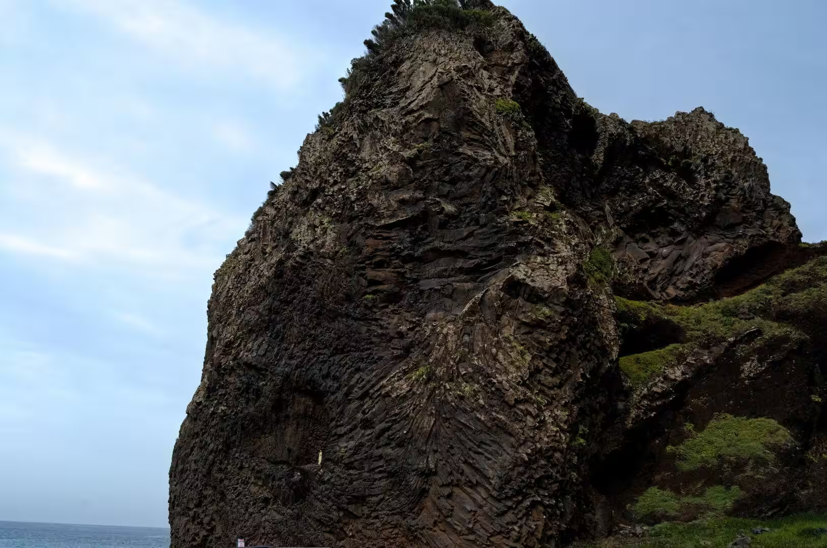
Madeira is the summit of a massive shield volcano on the Tore underwater mountain range, built along an east to west rift in the oceanic crust on the African plate. Growth began in the Miocene, about five million years ago, and the island was substantially complete 700,000 years ago; after a long interval of erosion, eruptions resumed on the west central part only 6,500 years ago and covered part of the old shield with cinder cones and lava flows. Basalt is the dominant rock, and it provides the material for the steep slopes, the cliffs and the ridges of the island.
Erosion followed the eruptions. Rainfall and running water cut two large amphitheatres that open toward the south in the central part of the island, and the same processes carved the ravines through which the water of autumn and winter reaches the sea; the interior is generally inaccessible, and daily life has always been concentrated in the villages at the mouths of the ravines. A calcareous layer near Lameiros in São Vicente, later quarried for calcium oxide, preserves the marine remains of the phase when the young island was circled by reefs. The extreme weather event of 20 February 2010, when 108 millimetres were recorded at the Funchal station in five hours against a February average of 88 millimetres, left 51 dead, 250 injured and about 600 people homeless; the damage was confined to the south of the island.
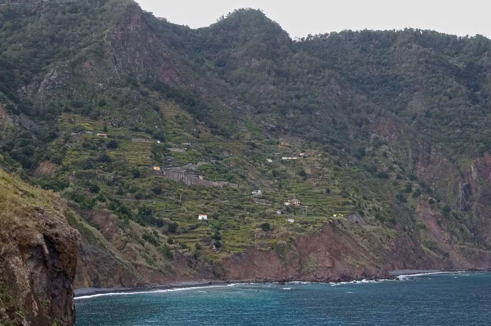
The steepest ground is worked in terraces. Vineyards on the island are planted on man made terraces of red and brown basaltic bedrock, known as poios, which are comparable to the terraces of the Douro; machinery is nearly impossible to use on them, and most grapes come from small plots worked by around 2,100 growers who rely on several crops at once. Research on Madeira treats these agricultural terraces as a proxy for landscape history, since their walls and soils record centuries of use, abandonment and rebuilding. The deep valley of Curral das Freiras, 29 kilometres from the seat of its municipality, is the clearest example on the day’s route.
The centre of the island is a plateau in the fog. Paul da Serra is the largest and most extensive plateau of Madeira, lying in the municipality of Ponta do Sol, and it is considered the most important area of groundwater recharge: its planar structure lets a large part of the heavy annual rainfall infiltrate and slows the runoff toward the sea, and more than 240 foggy days a year are recorded there. The ground cover is underbrush of bracken, broom, gorse and St John’s wort, with a thyme endemic to the central massif, and heather has been returning since grazing was abandoned. Nearly all wind energy of the island is produced here. The Madeira Nature Reserve, created in 1982, covers about two thirds of the island and includes the reserves of the Desertas, the Selvagens, Garajau and Rocha do Navio.
The coast of this day is a wall rather than a slope. Cabo Girão, a diamond shaped sea cliff escarpment between Quinta Grande and Câmara de Lobos, rises to about 580 metres and counts as one of the highest cliffs in Europe; below it lie cultivated wave cut platforms, the fajãs, which were once accessible only by boat and are reached by a cable car installed on the slope in August 2003. Offshore, the submarine slopes of the archipelago are shaped by gravitational, erosional and sedimentary processes, and work on flank collapse and megatsunami evidence has raised the estimated hazard potential of such events in oceanic volcanoes.
Things to See
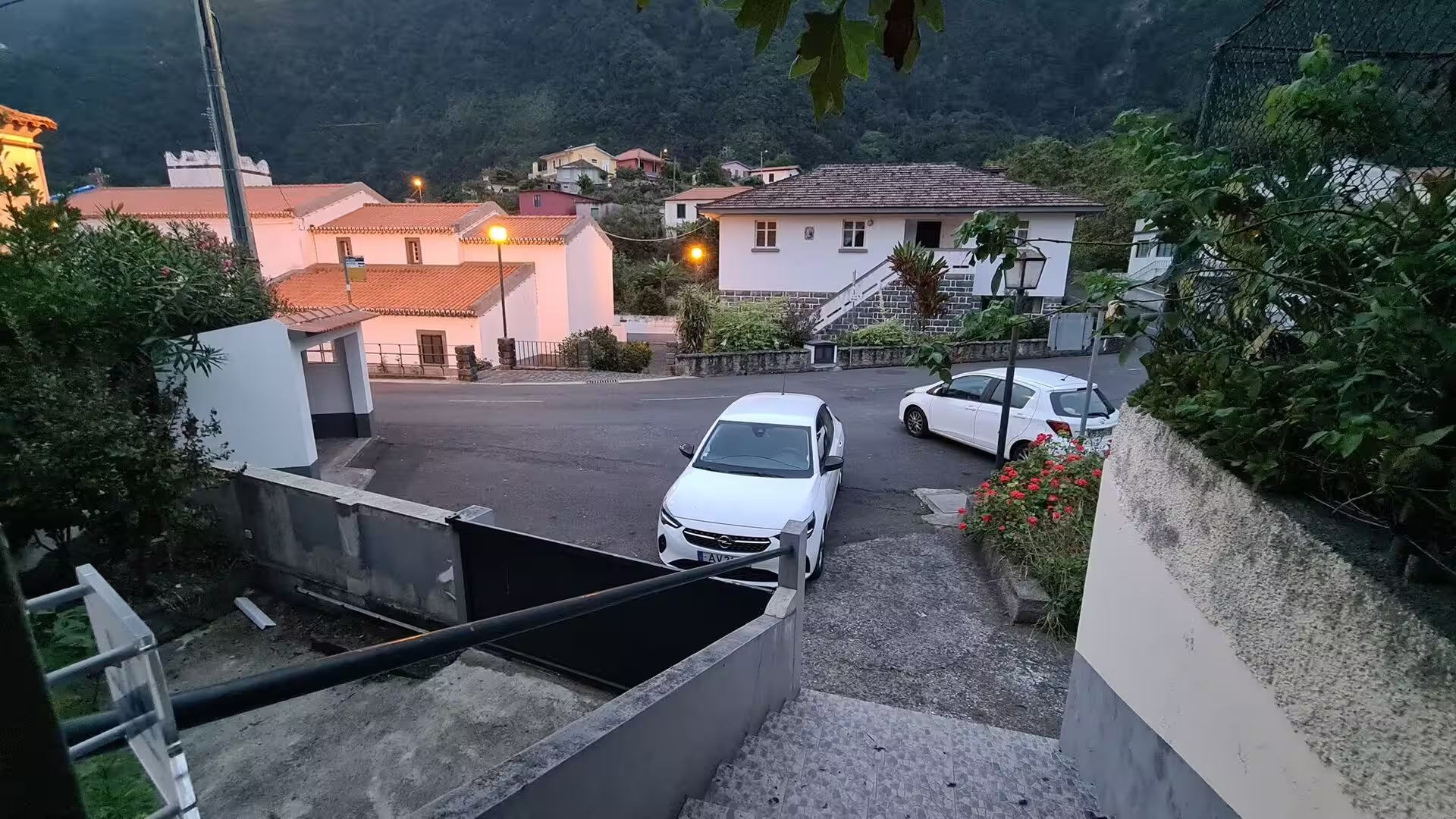
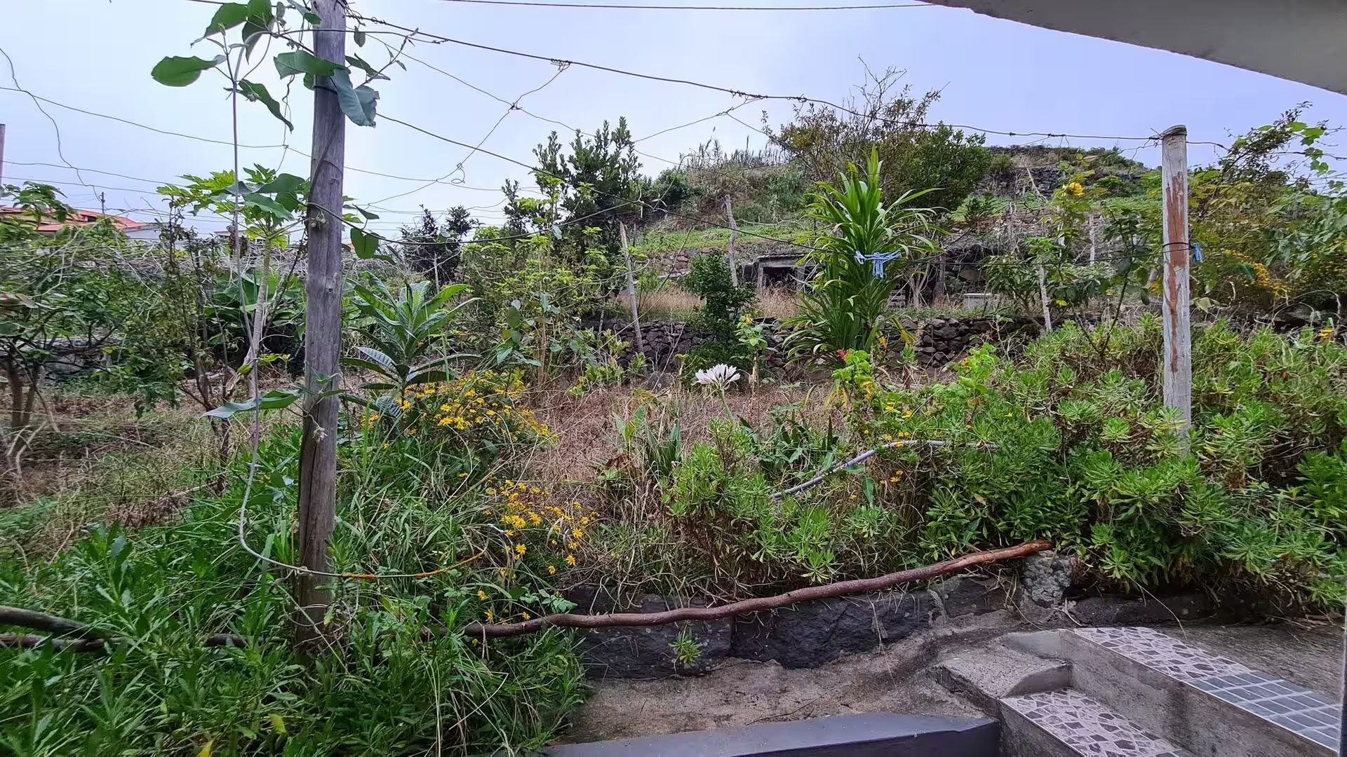
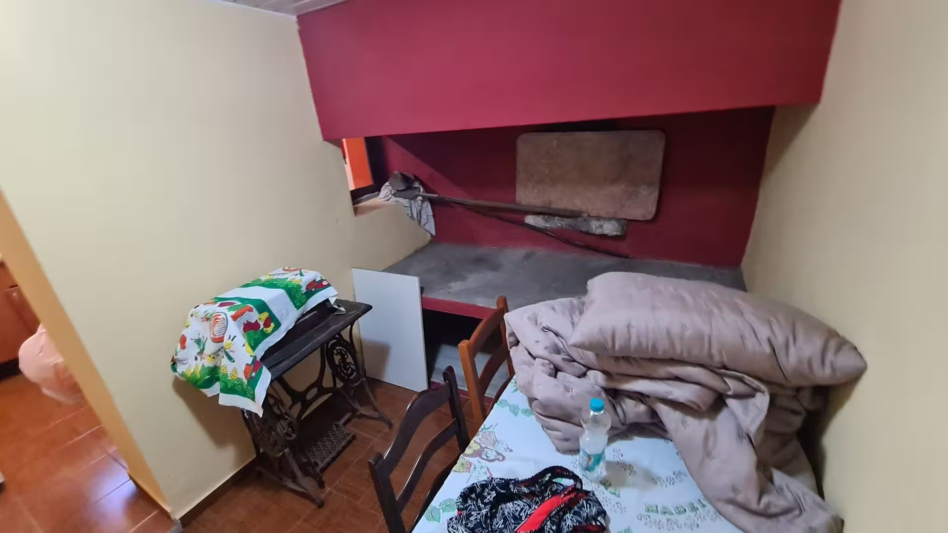
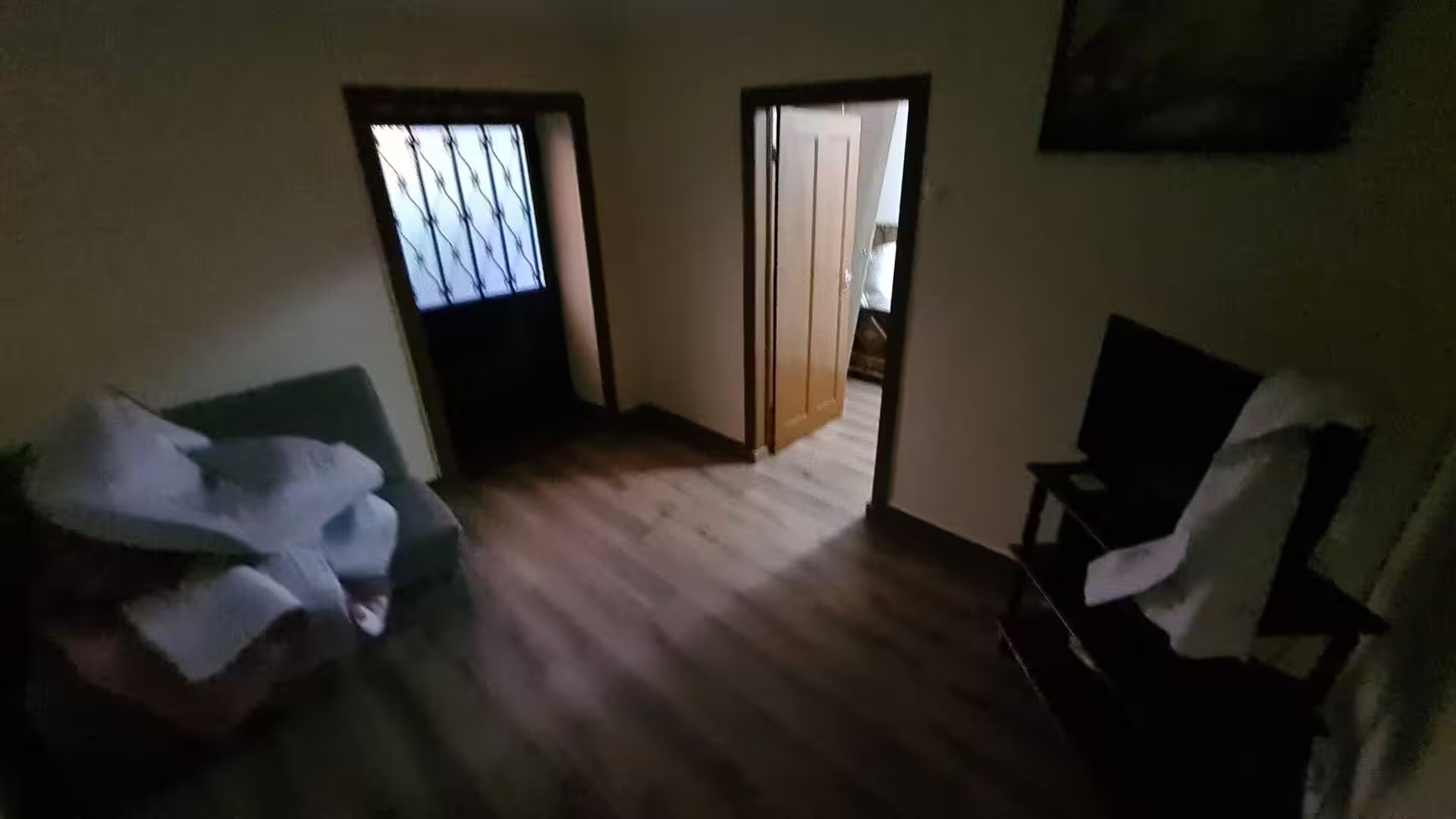
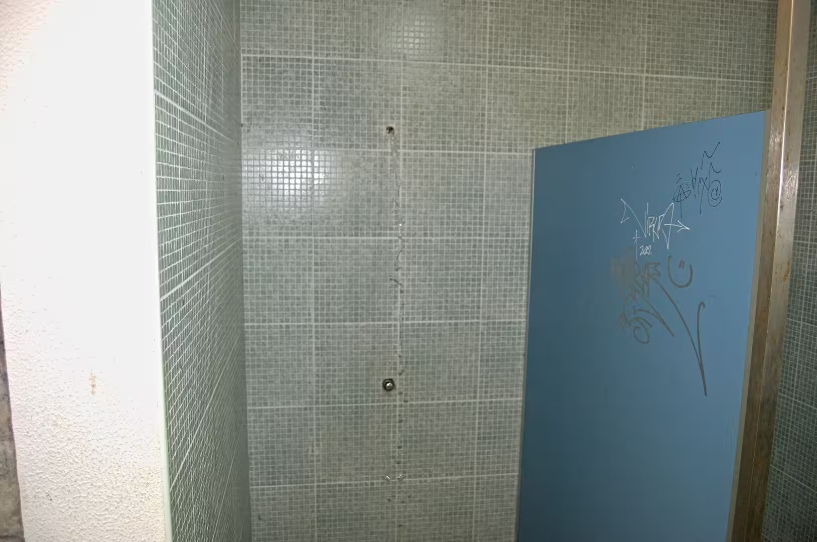
The day opens in a small village in the highlands, on a quiet lane of white houses where lamps are still lit and a single car stands at the kerb in the blue hour before sunrise. The lodgings open onto a narrow covered patio with a small table, an open kitchen door and steps that rise into a garden dotted with yellow flowers, leafy shrubs and climbing vines. Inside, one room has red walls, a vintage sewing machine and a table piled with bedding, and the washroom is tiled in pale green mosaic, with a blue door covered in scribbled doodles.
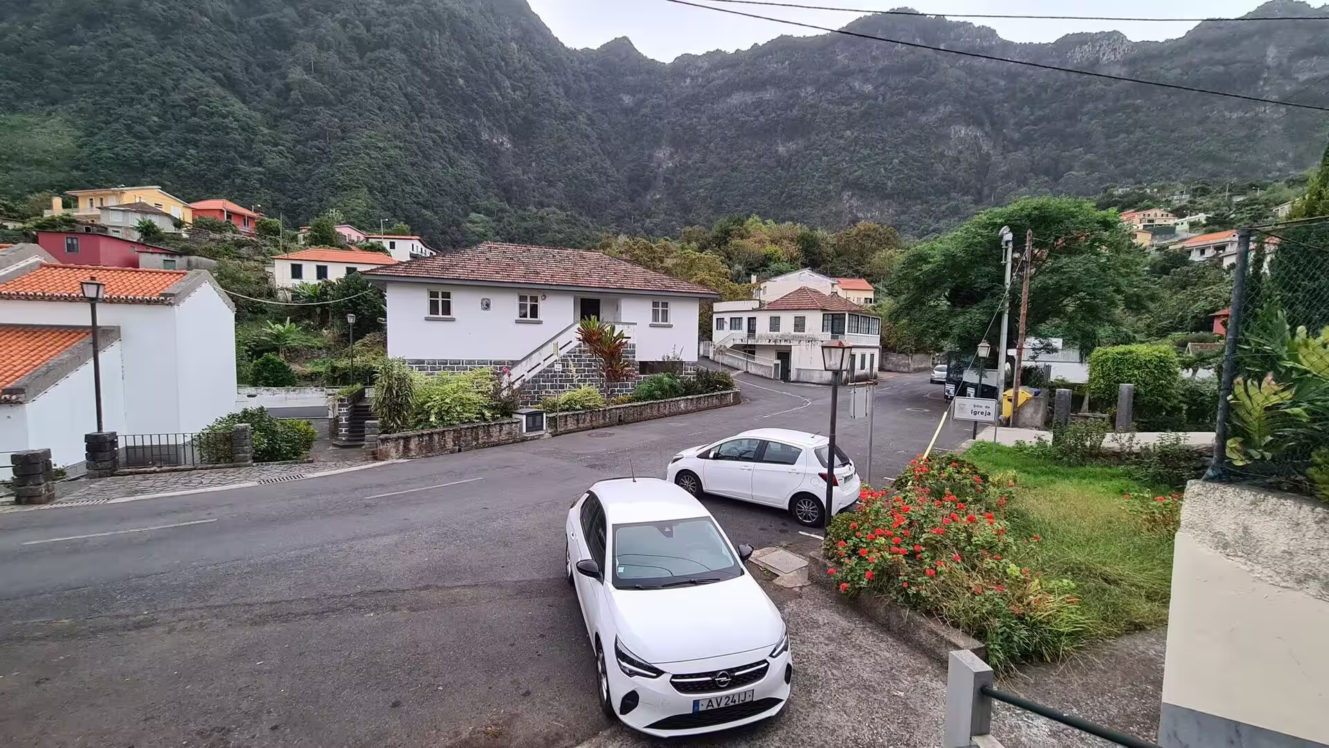
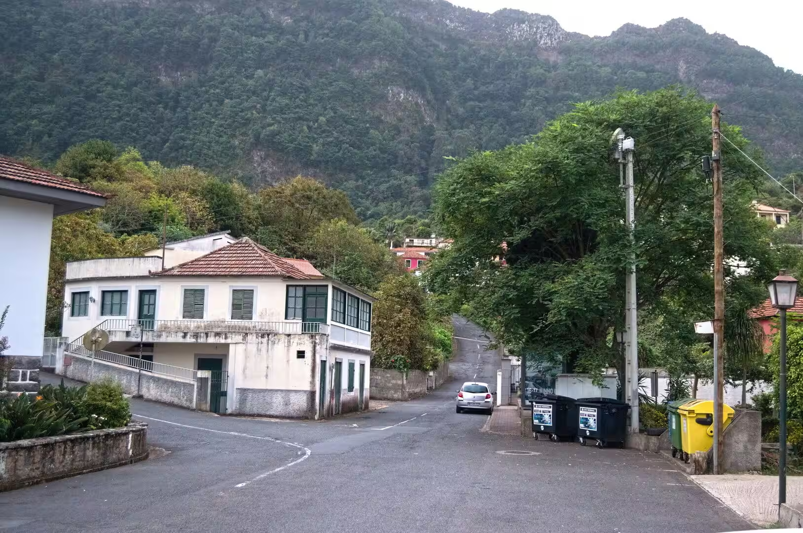
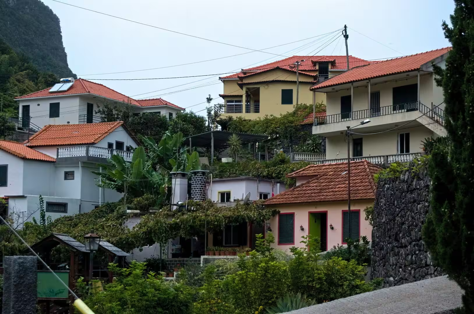
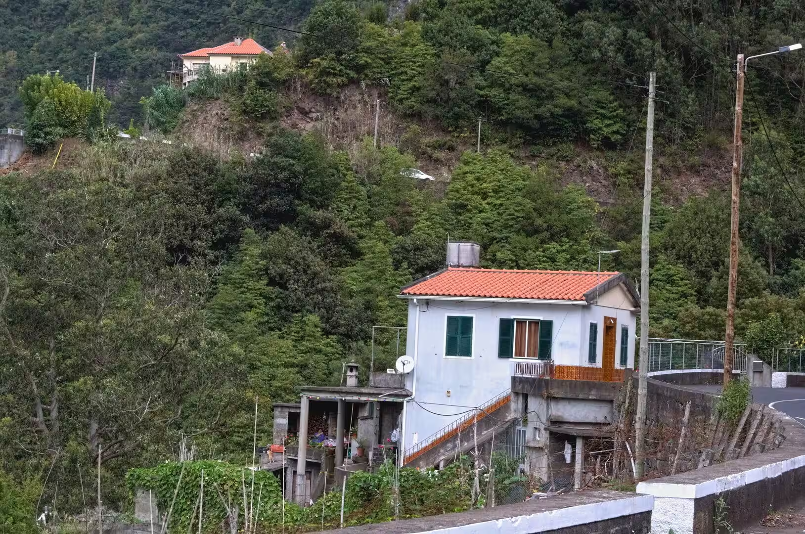
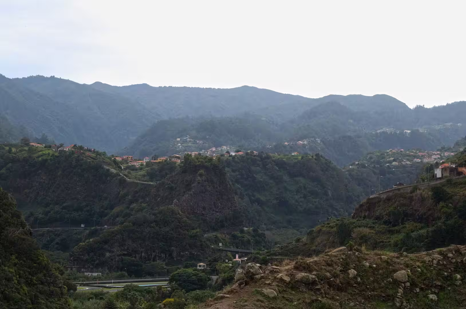
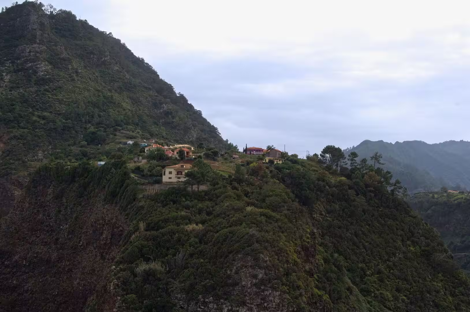
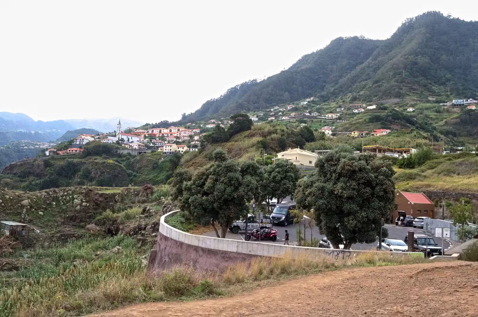
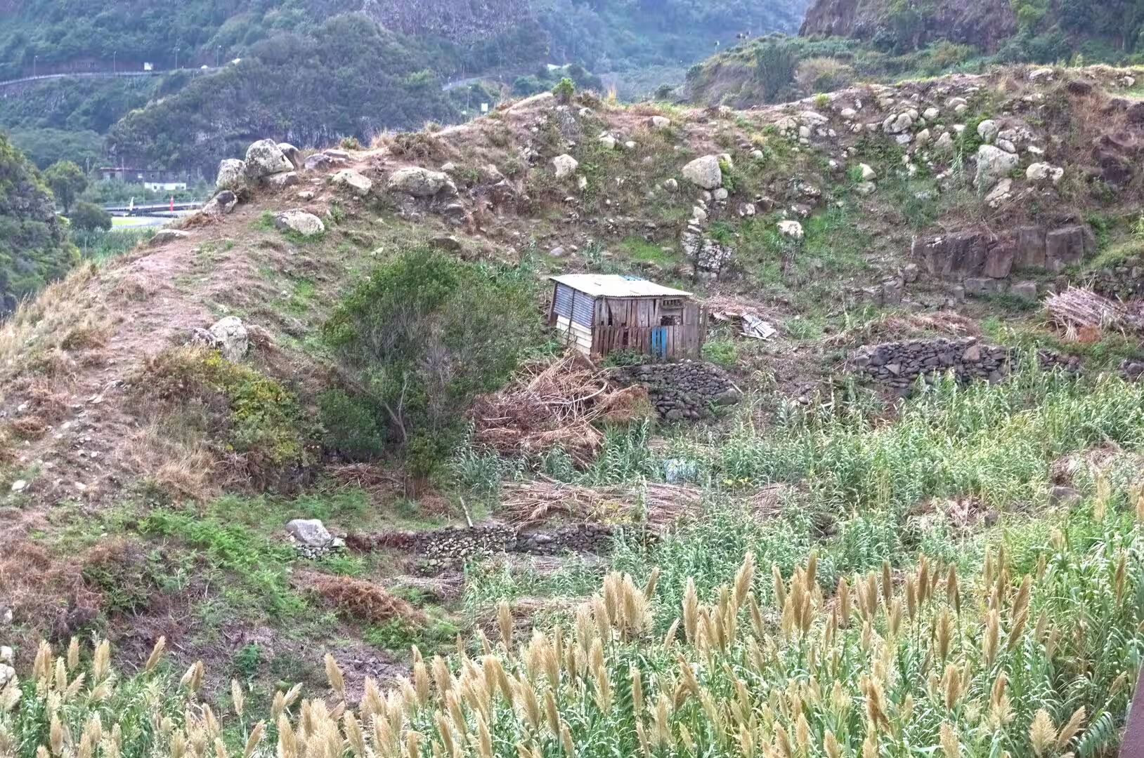
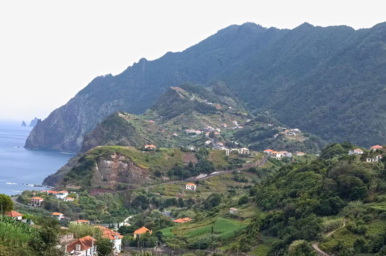
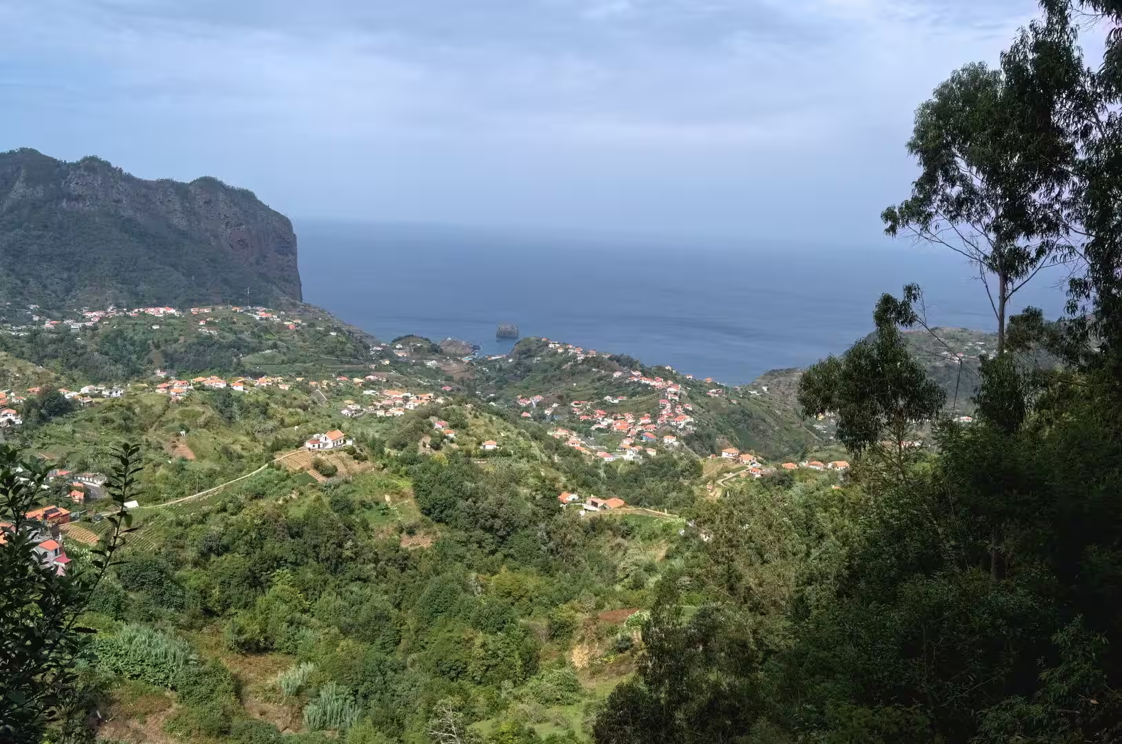
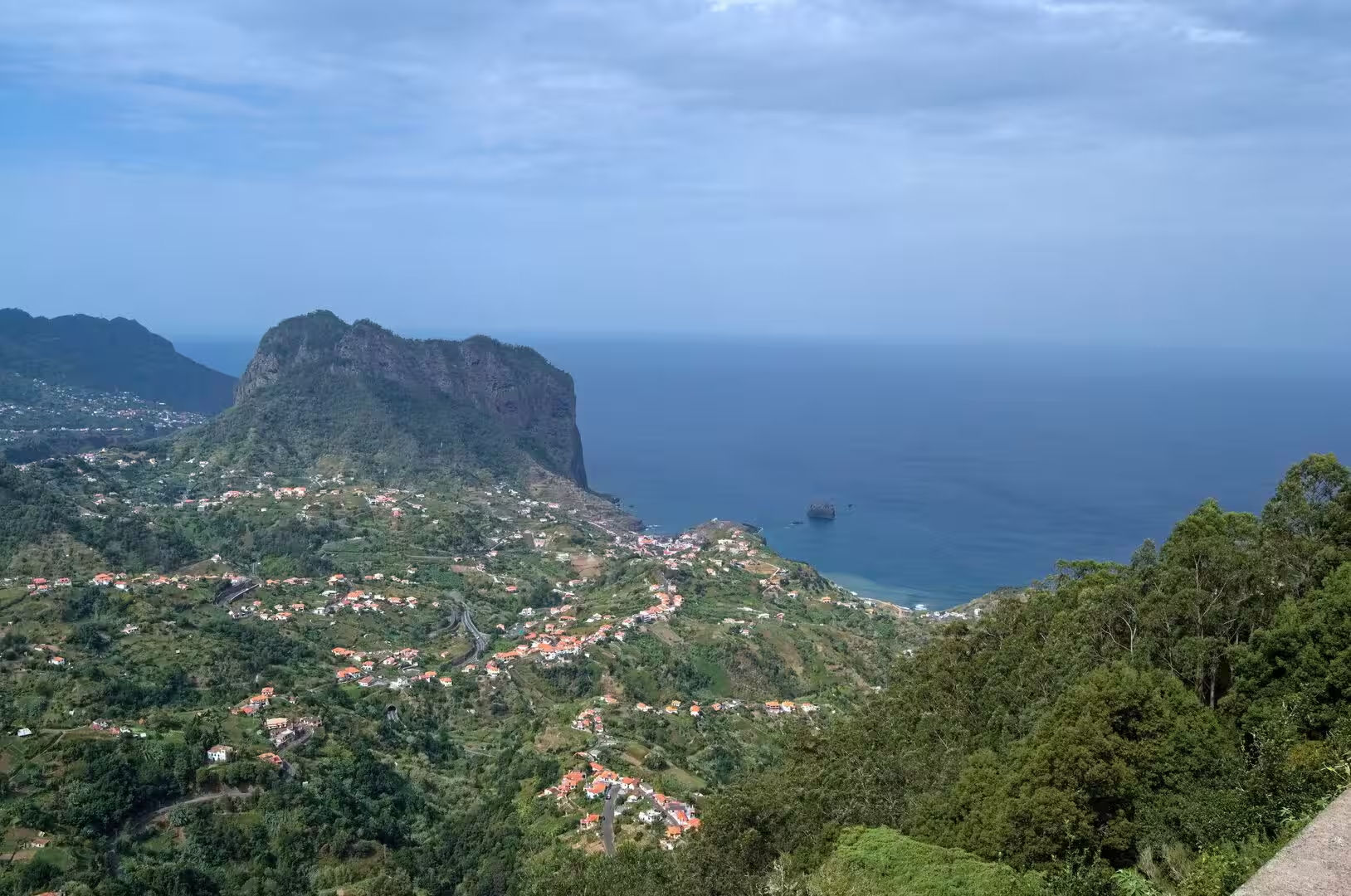
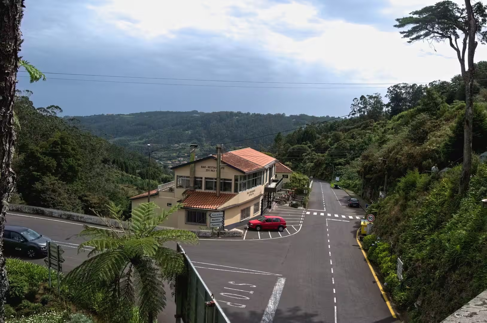
Whitewashed houses stand beneath towering green mountains, and the road curves through them before it begins to descend toward the coast. A tiled house at a village junction faces a lush wooded hillside, red roofed houses cascade down a slope further on, and a weathered wooden hut with a tin roof sits on a rocky bank above the road. Cloud hangs on the forested ridges, and a few houses on the higher ground disappear into it; the settlement pattern of the island is visible in one view, with the terraced farmland below and the forest above.
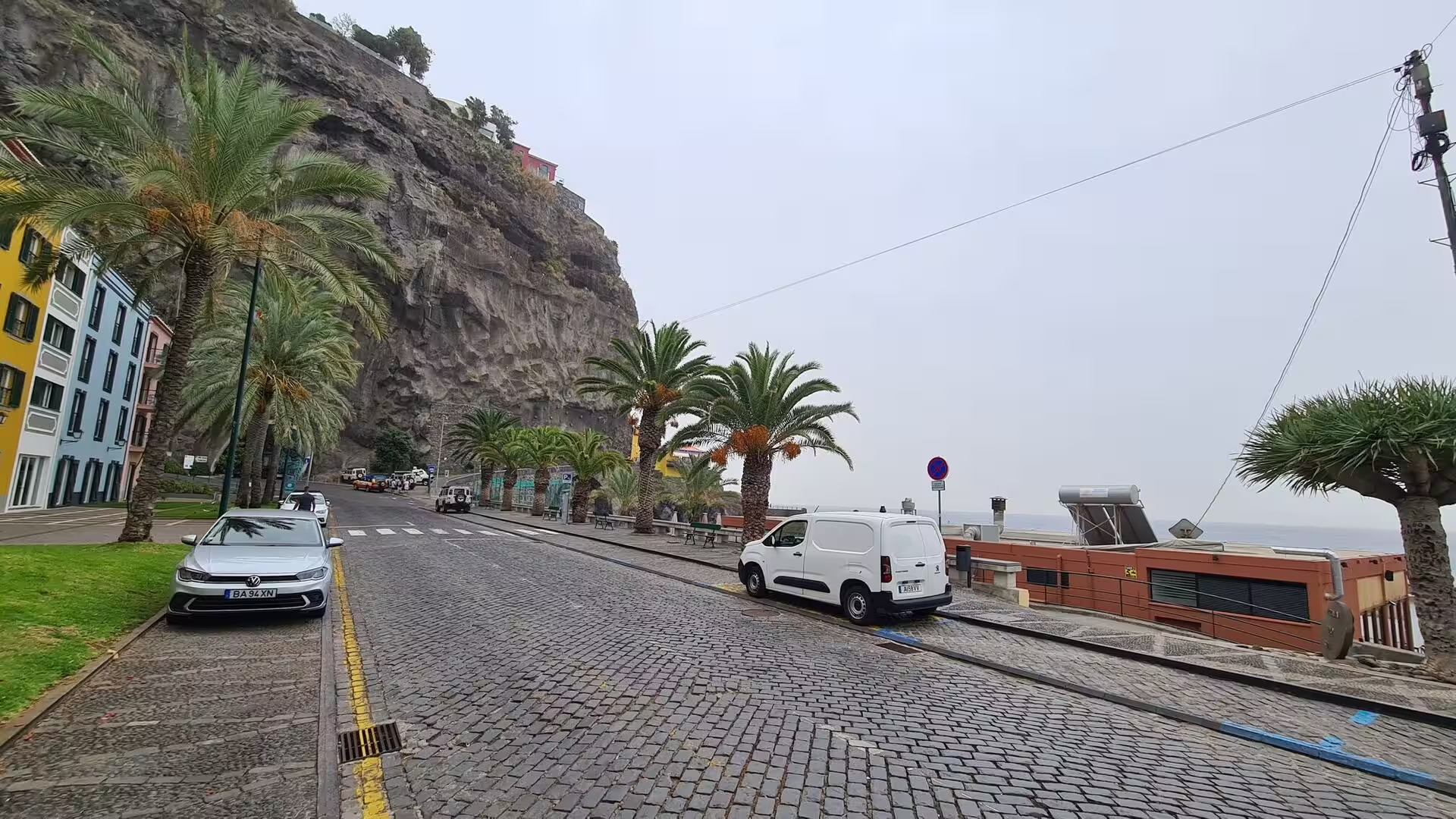
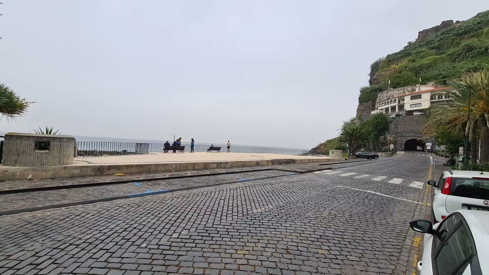
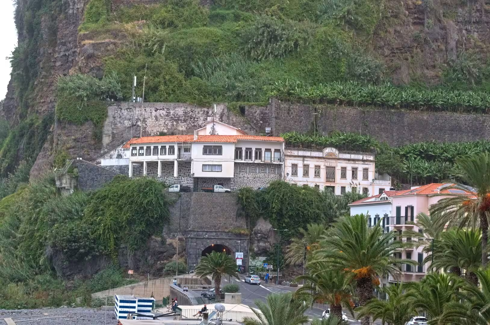
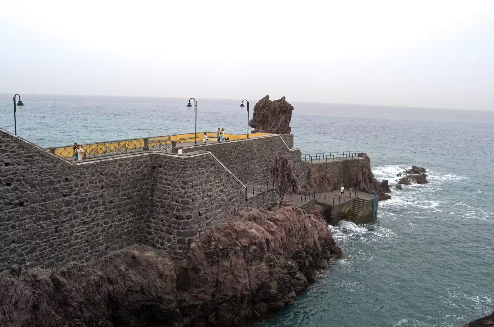
On the south coast the pace changes. A cobbled street lined with palms and colourful houses runs beneath a sheer rock cliff, and a broad cobbled seafront with benches by a railing leads to a tunnel through the headland, with homes standing on the green cliff above it. Beyond lies a sheltered harbour bay where boats rest on quiet water beside a small stone town, and a fortress wall juts out over the ocean. Câmara de Lobos, the second largest settlement by population on the island, owes its name to the monk seals that João Gonçalves Zarco found here in 1419, and its economy still rests on fishing and on the cultivation of bananas and other fruits.
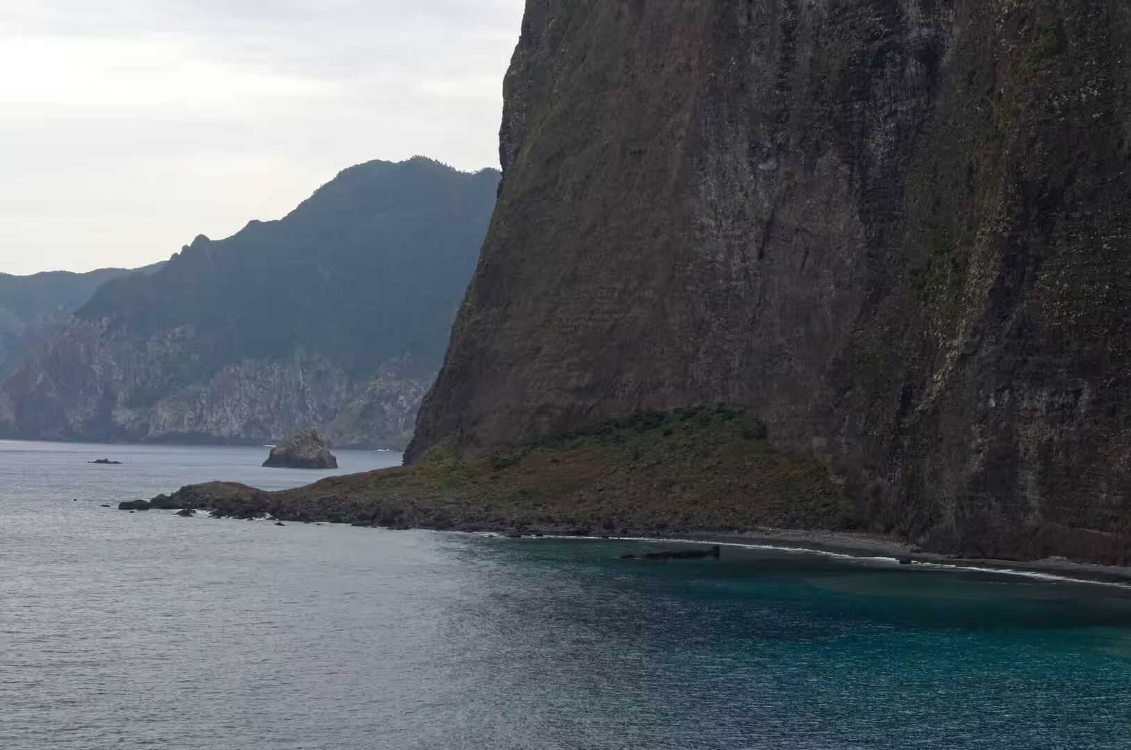
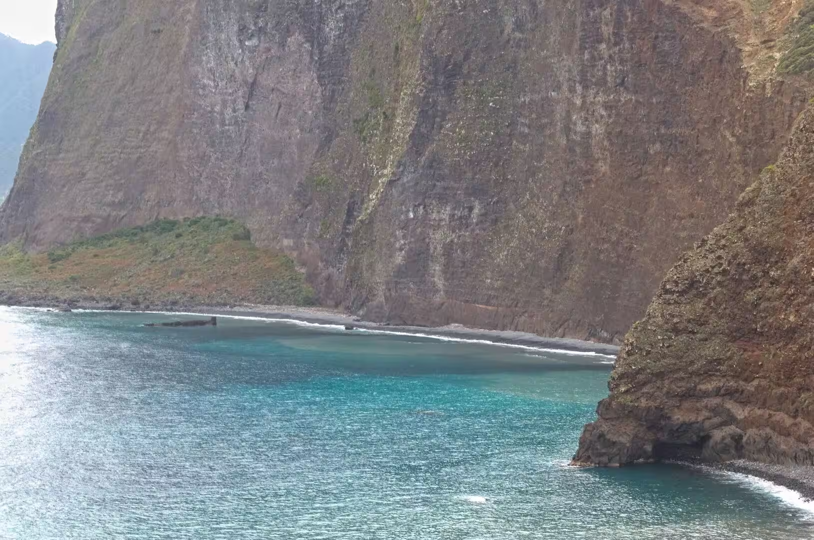
Cabo Girão is the great cliff of the south coast, a diamond shaped escarpment between Quinta Grande and Câmara de Lobos that rises to about 580 metres and counts as one of the highest cliffs in Europe. The skywalk on its edge, opened in late October 2012, is the highest cliff skywalk in Europe, and it consists of transparent glass, like its counterpart at the Grand Canyon; up to 1,800 visitors a day come to the lookout, and many hiking routes begin here. Below the wall of rock, cultivated wave cut platforms were once reachable only by boat and have been served by a cable car since August 2003. A chapel dedicated to Nossa Senhora da Fátima, built in 1974, replaced a much smaller chapel of 1931.
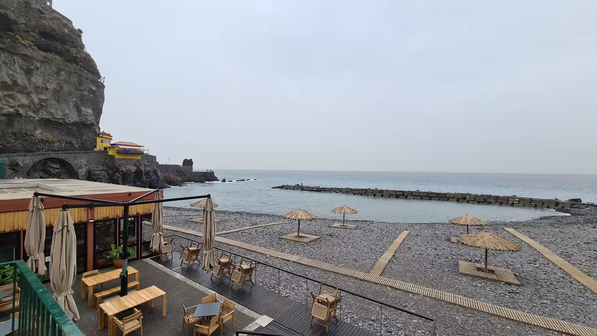
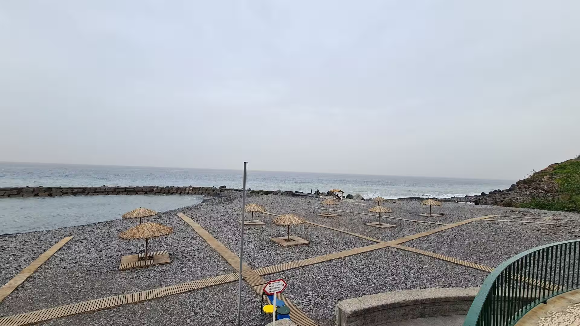
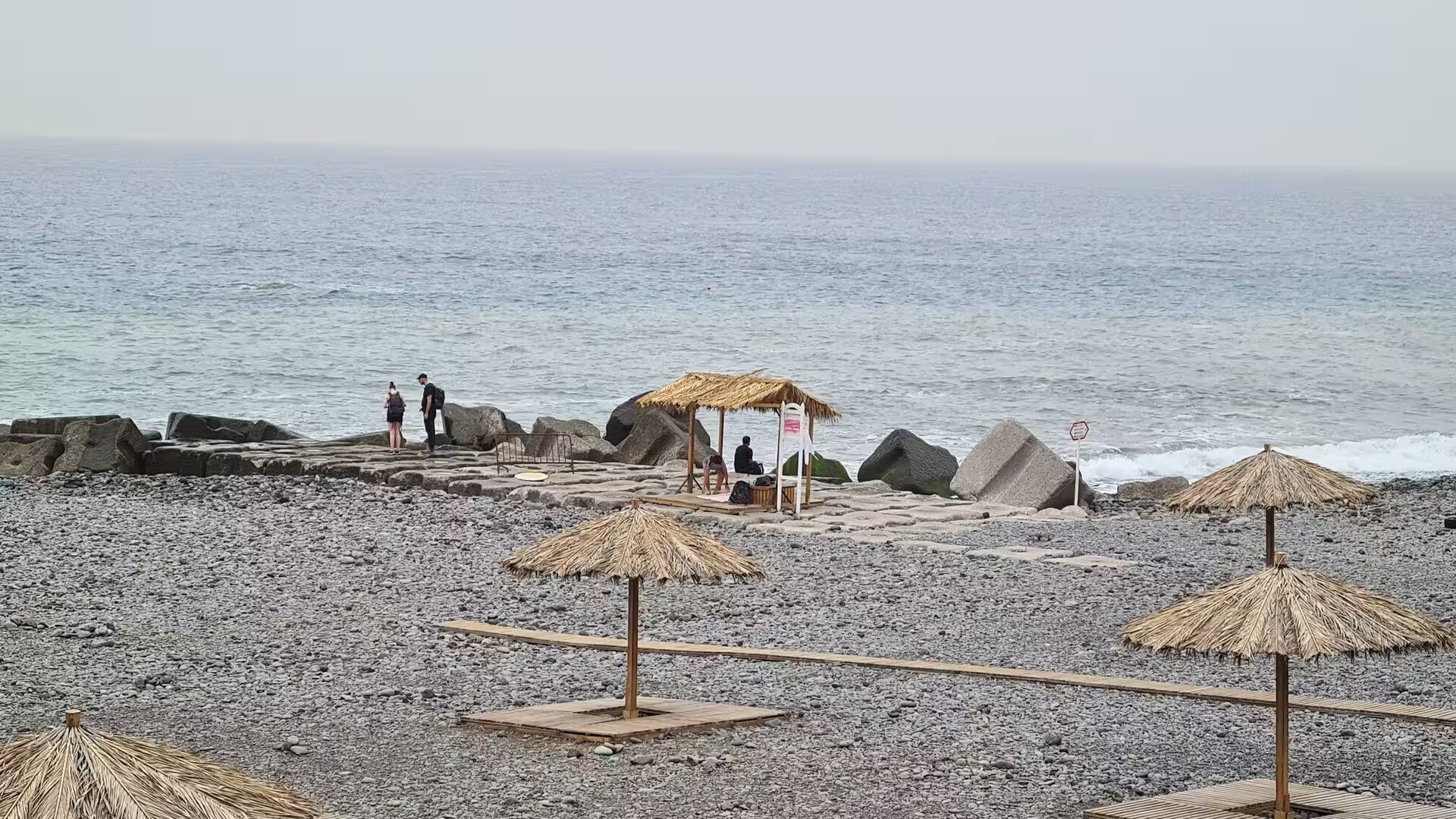
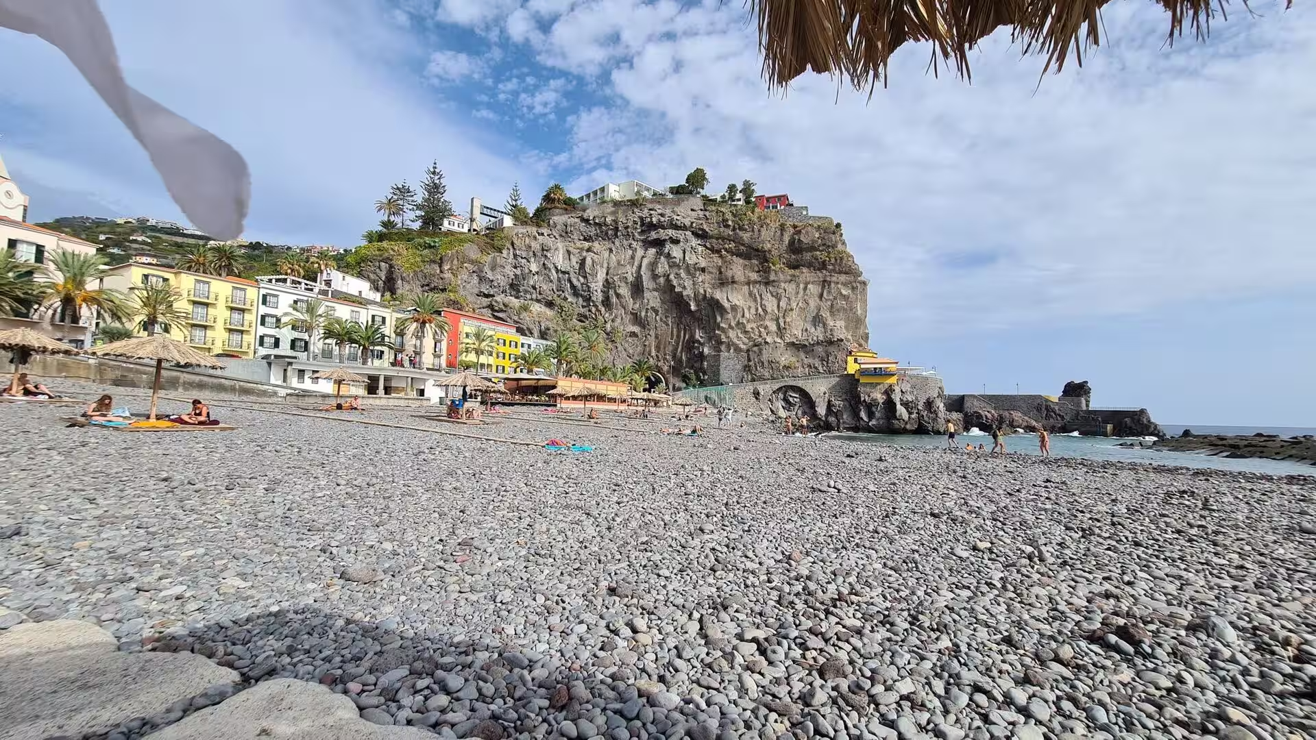
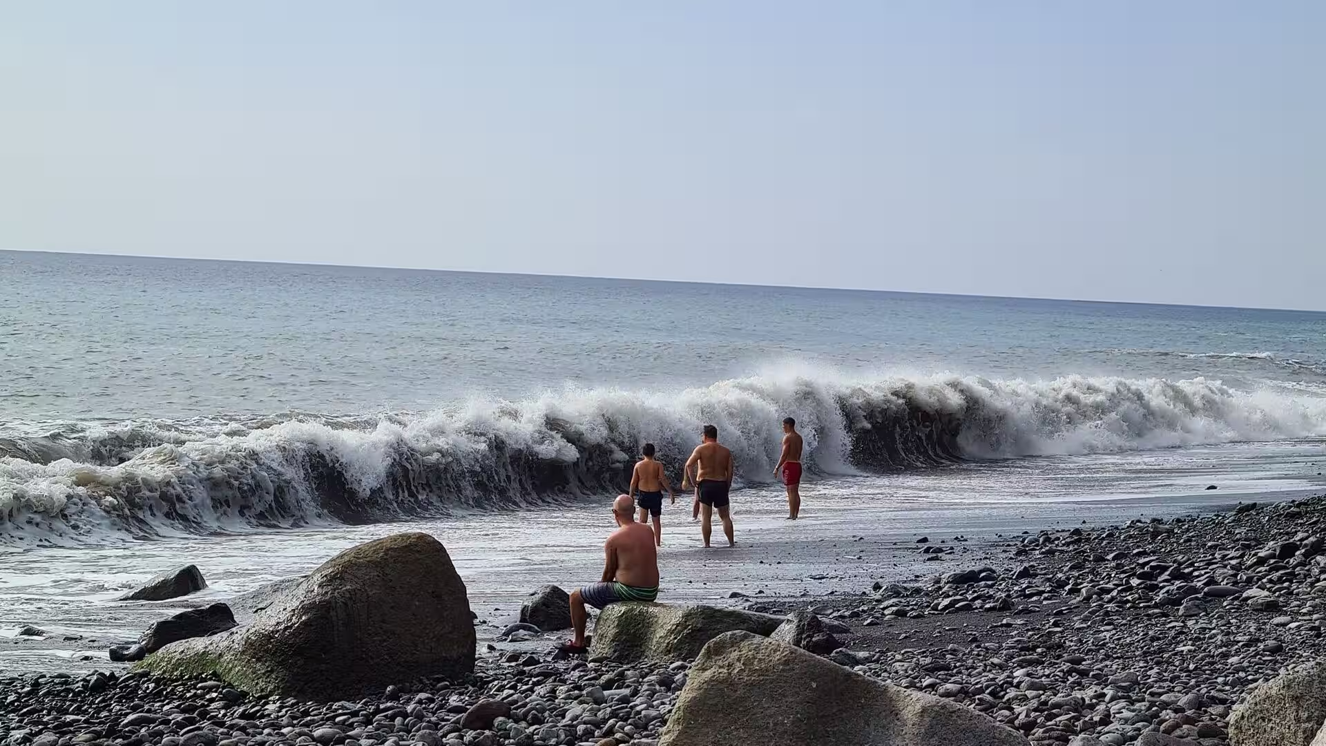
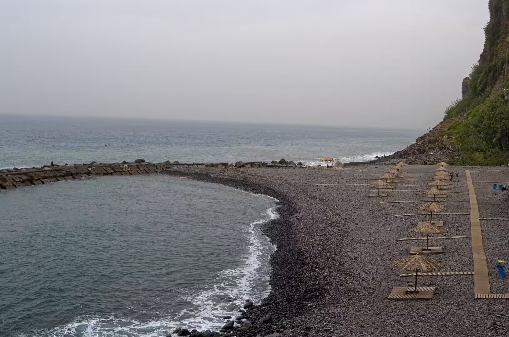
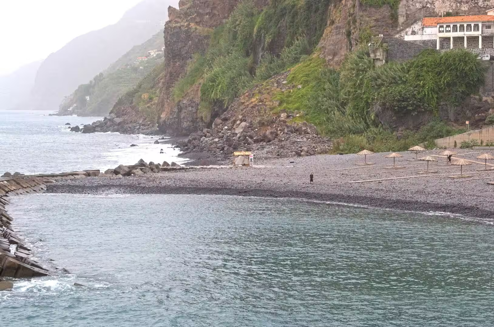
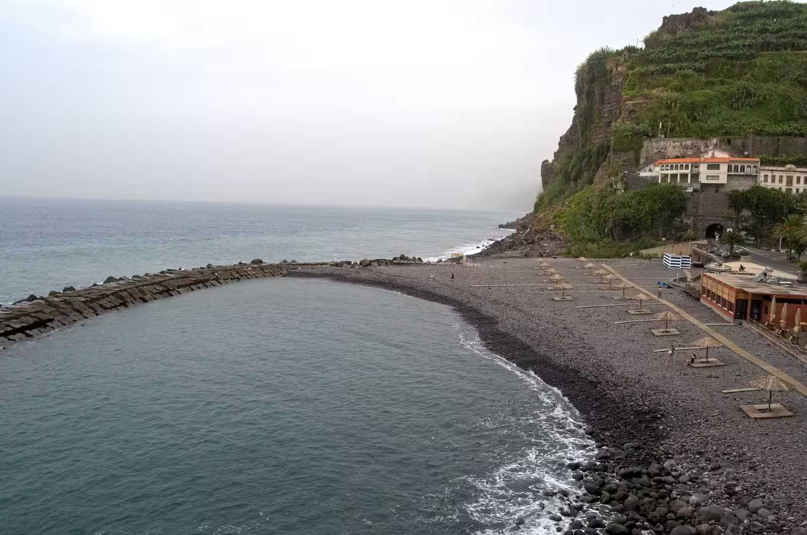
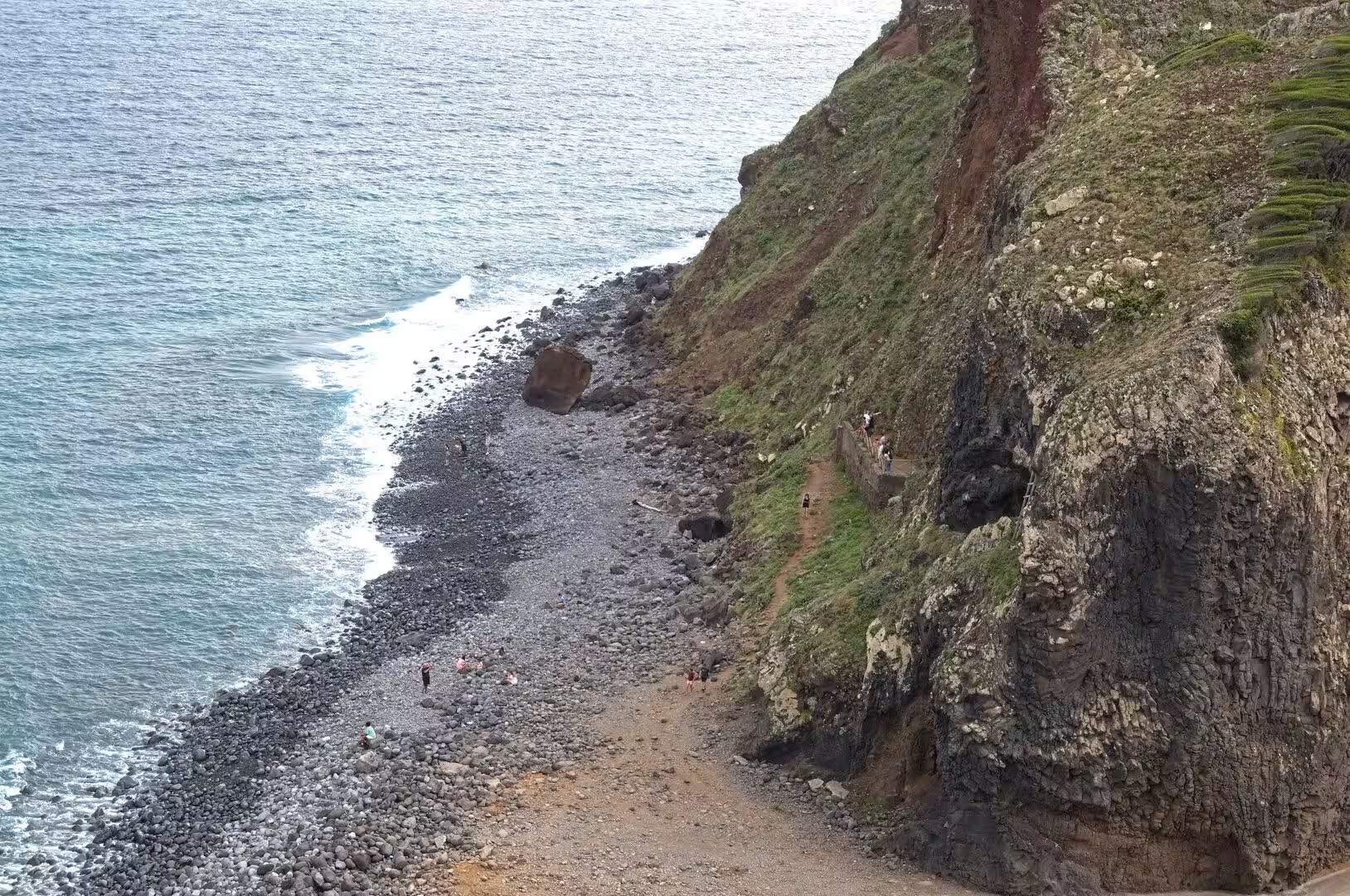
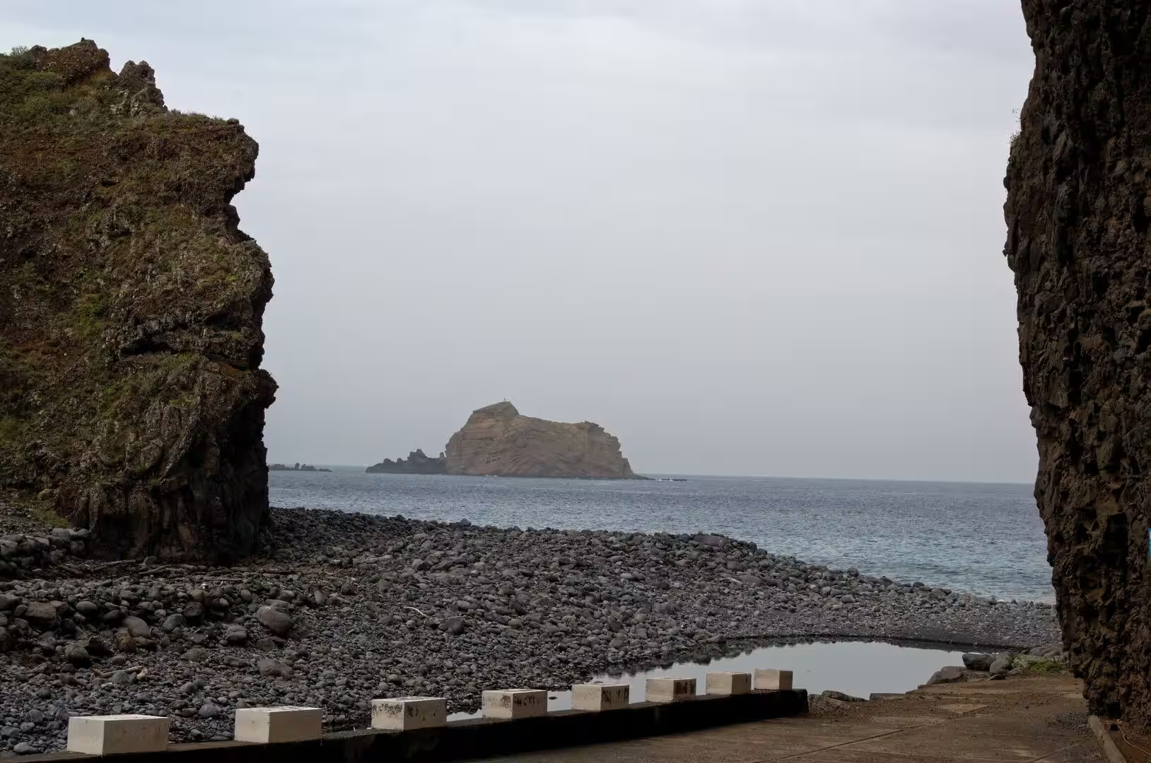
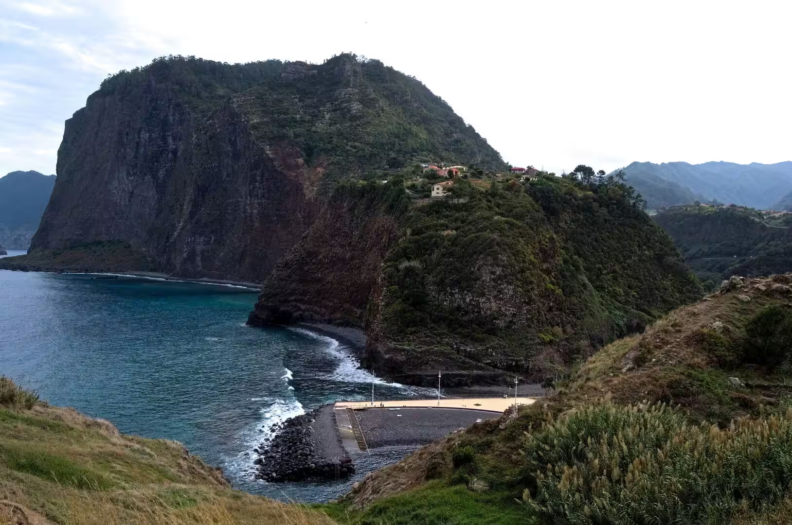
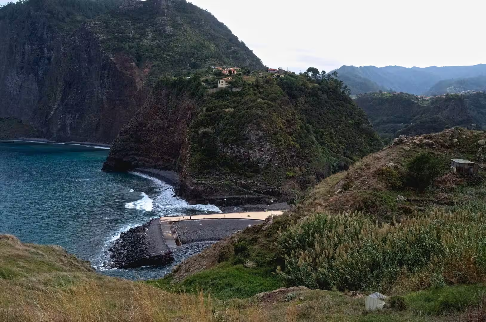
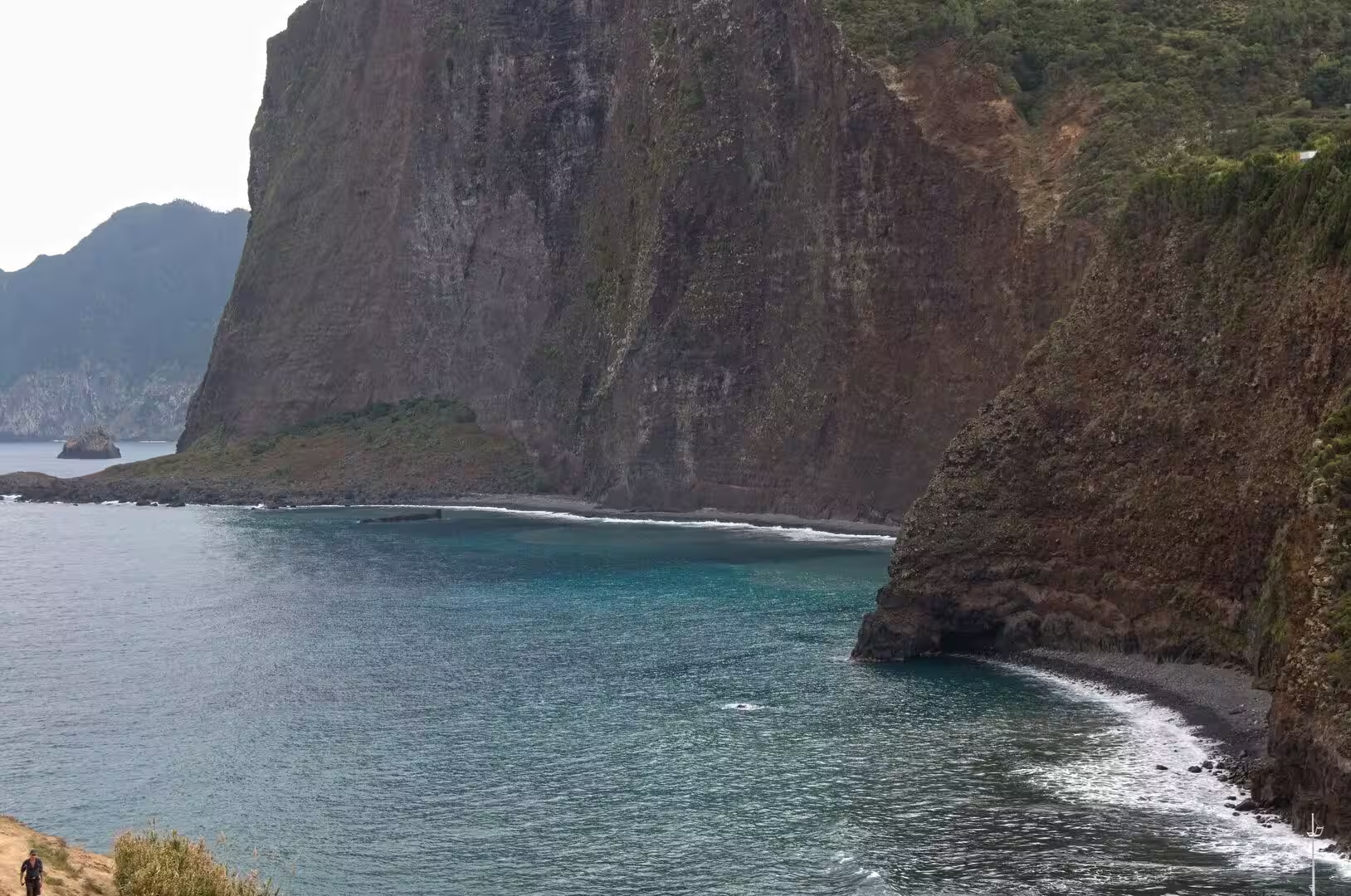
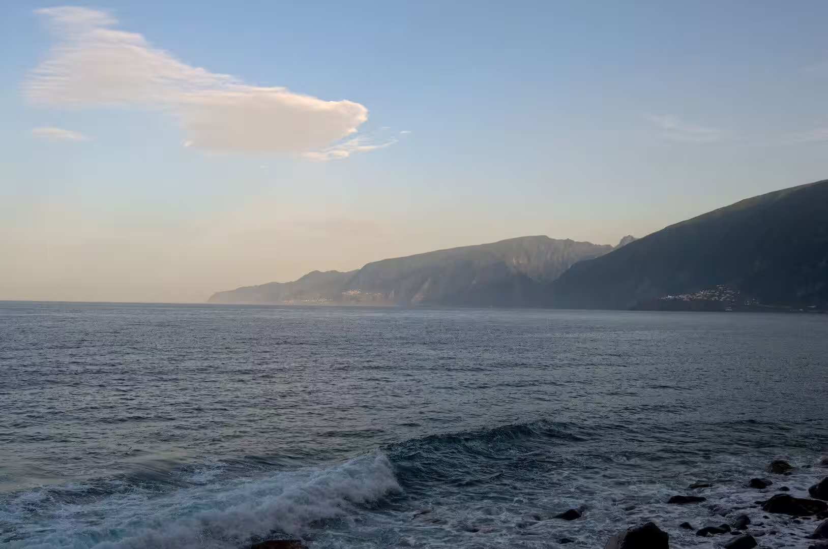
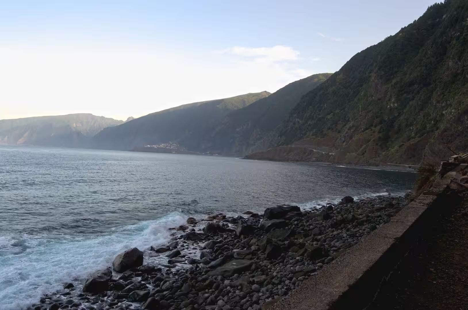
The beaches of Madeira are few and mostly dark. A quiet pebble beach is lined with straw parasols and a waterside cafe terrace, wooden walkways cross the shingle, and a palm thatched shelter and a handful of swimmers sit close to the rocky shore. In a sheltered black pebble bay behind a stone breakwater, rows of straw parasols follow the curve of the water; elsewhere a wide shingle beach lies below a cliff crowned with colourful houses, and white surf rolls onto the stones beneath dark coastal cliffs. The Atlantic swell arrives without warning, and the few bathing places are managed rather than wild.
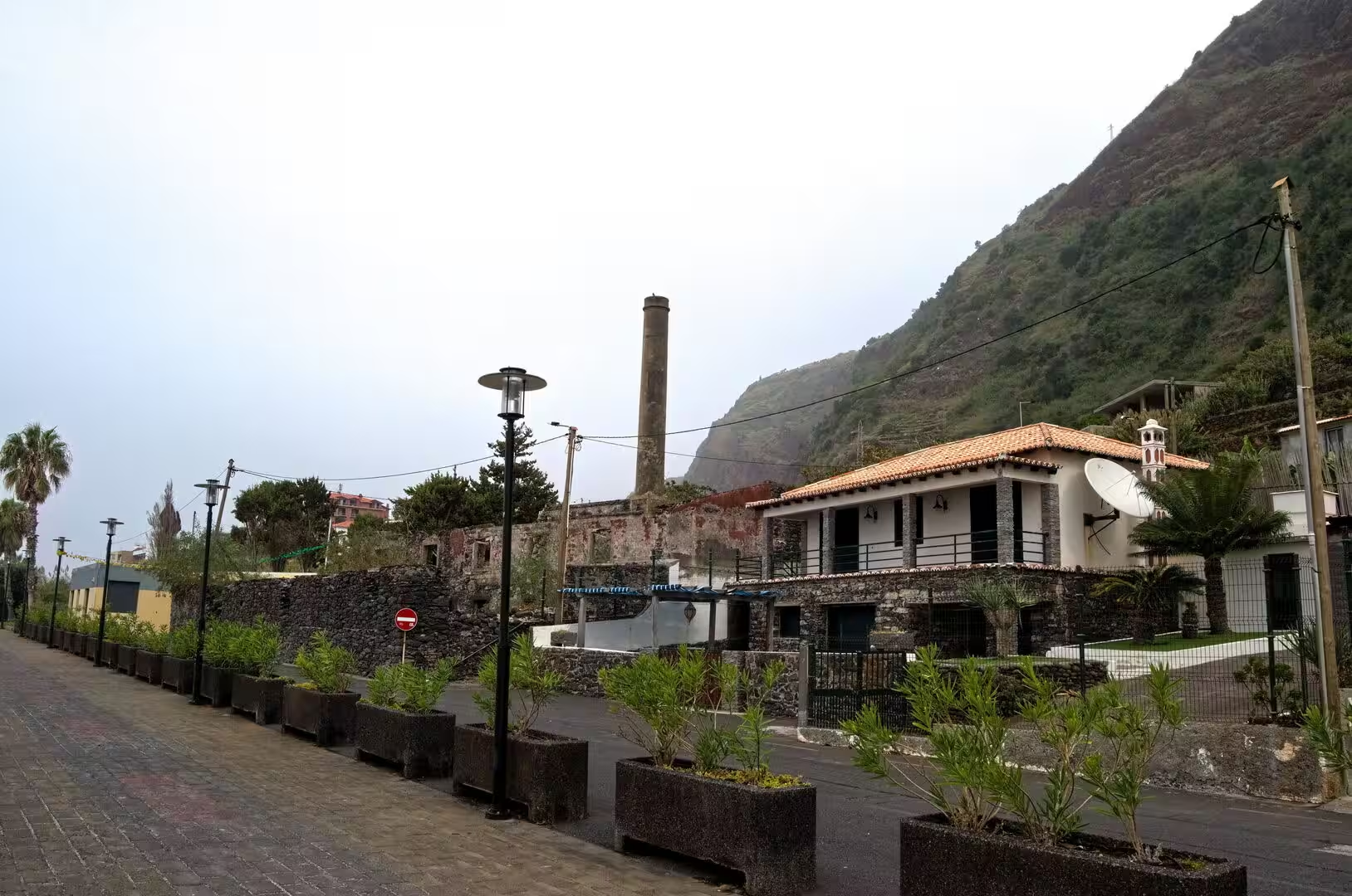
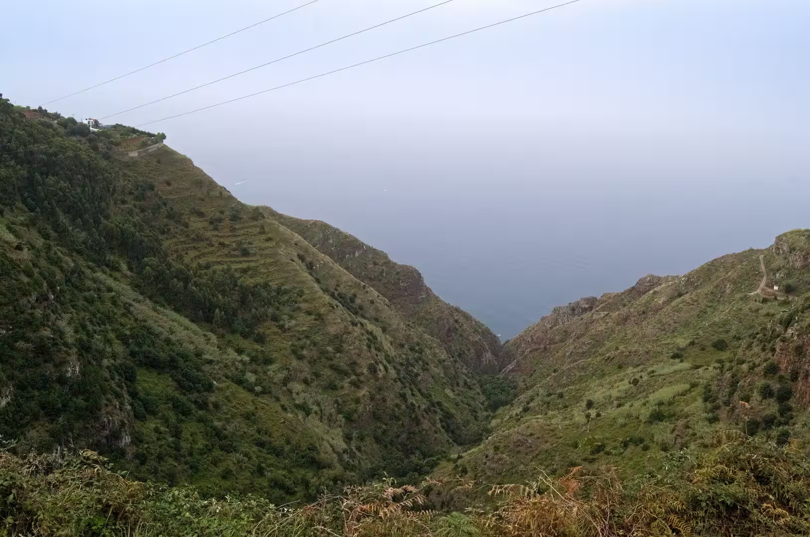
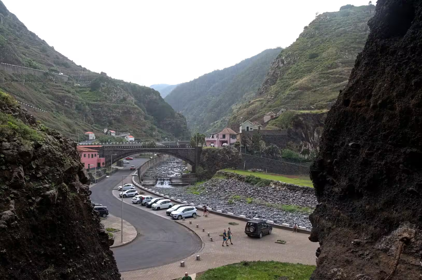
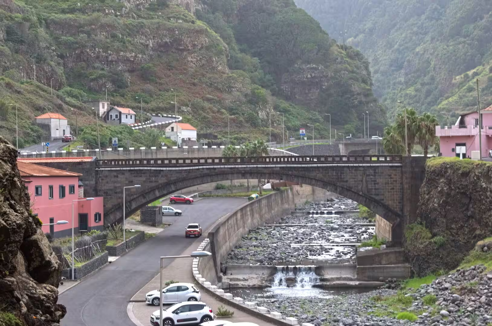
Ribeira Brava, the angry river, is the town at the mouth of a ravine on the southern coast, west of Câmara de Lobos and Funchal and east of Ponta do Sol. The river gave the municipality its name, and in the rainy season its current was so strong that it wrought havoc along the whole of its eight kilometres; about ten tributaries feed it, and its water supplies the area with drinking water and the island with electricity. The land rises steeply behind the town, and a deep green ravine plunges between steep slopes toward a hazy Atlantic horizon. On the seafront, a broad stone promenade with planters runs past a tall brick chimney.
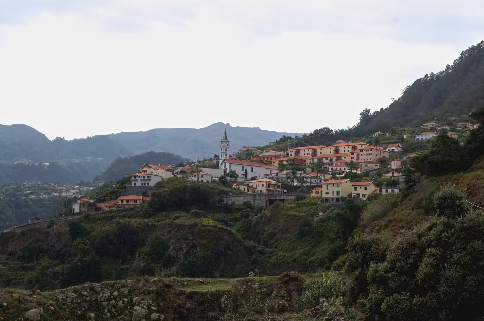
The mountain valley of Curral das Freiras lies in a deep bowl encircled by steep slopes, 29 kilometres from the seat of its municipality, and the tunnel toward Funchal that opened in 2004 replaced the older route into the valley. The hillsides above the houses are used for cherries and for grapes that go into Madeira wine, and the parish, with 2,001 residents in 2011, keeps the festival of Nossa Senhora do Livramento on the last Sunday of August. A white church with a spire stands among red rooftops beneath misty terraced cliffs, a tiny white chapel sits amid neat green terraces, and a weathered stone bridge arches over a boulder strewn stream.
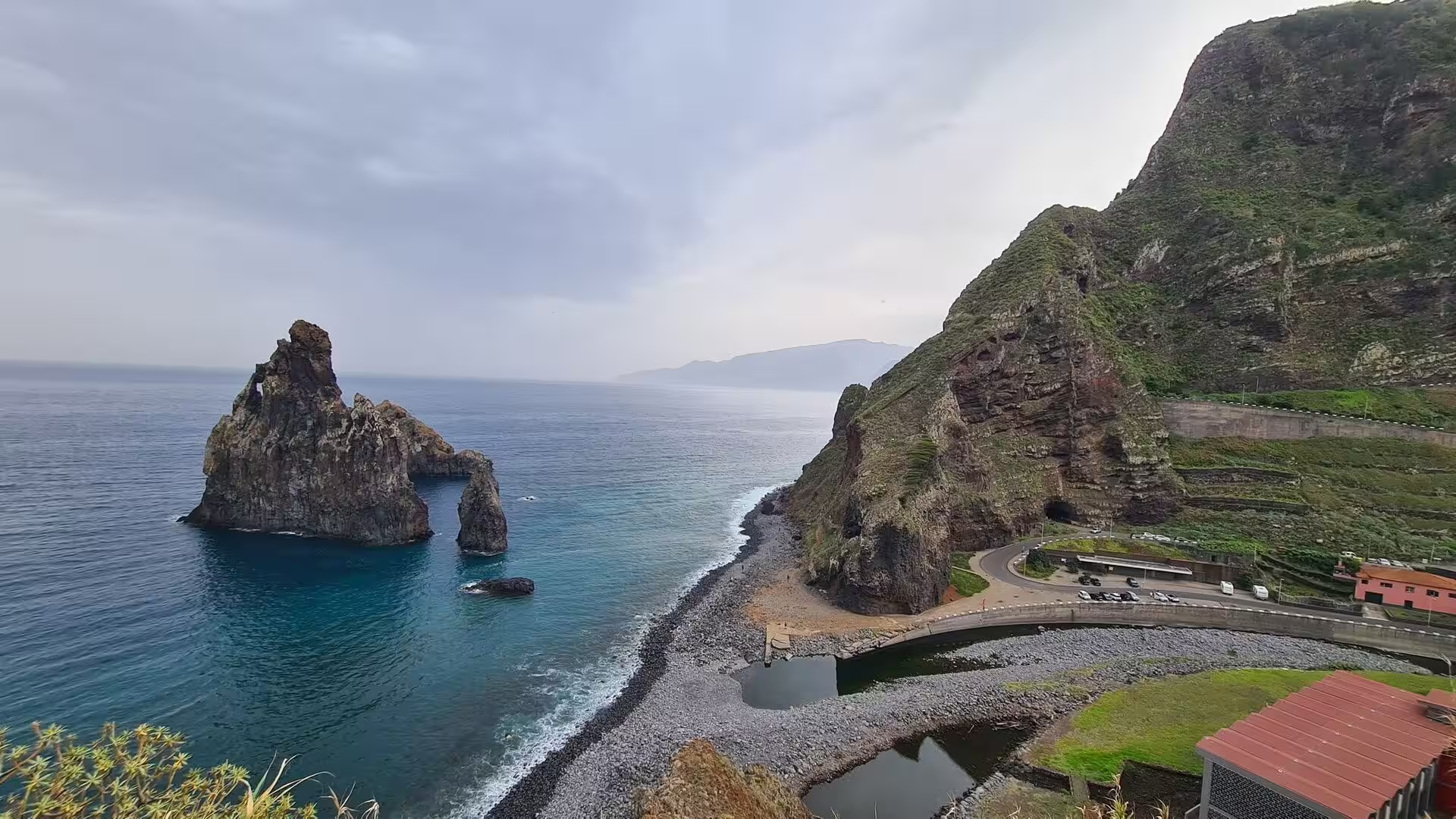
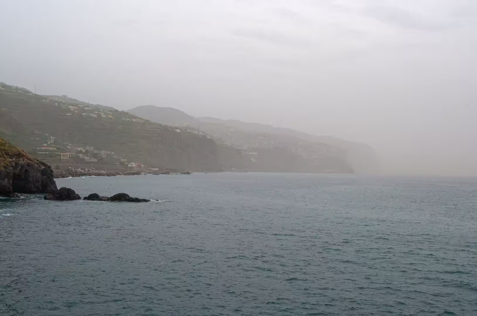
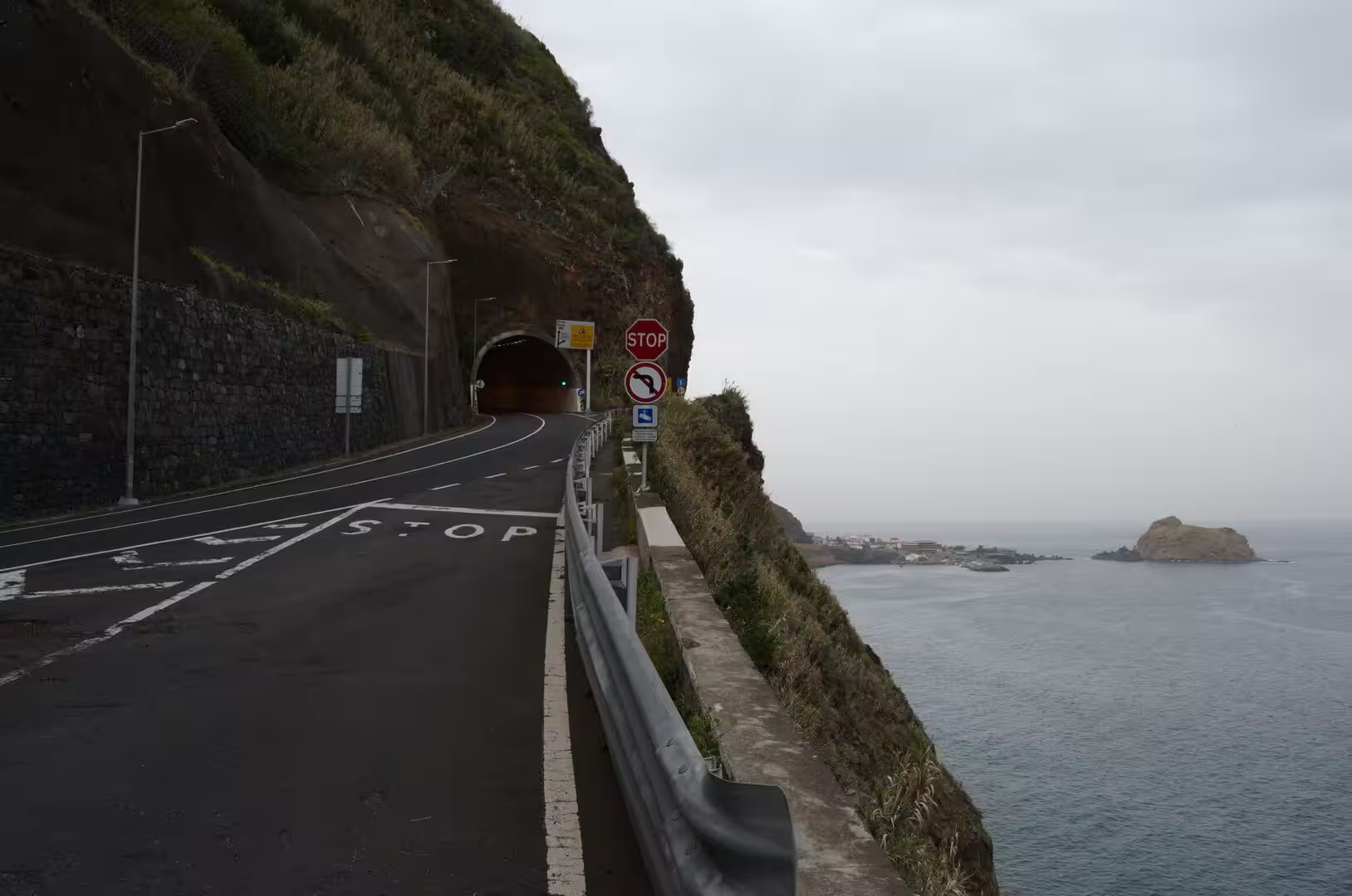
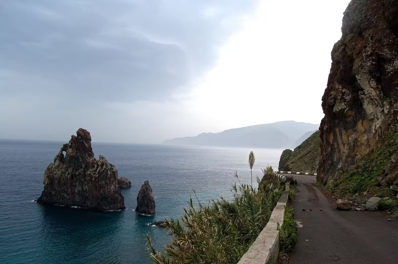
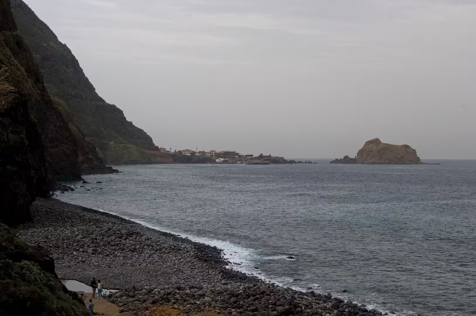
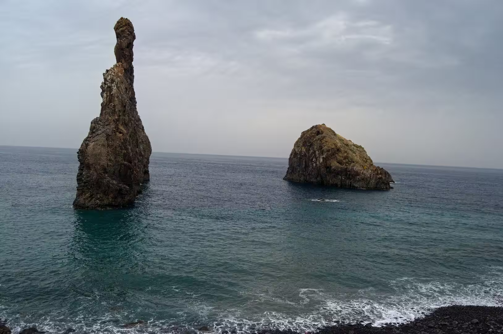
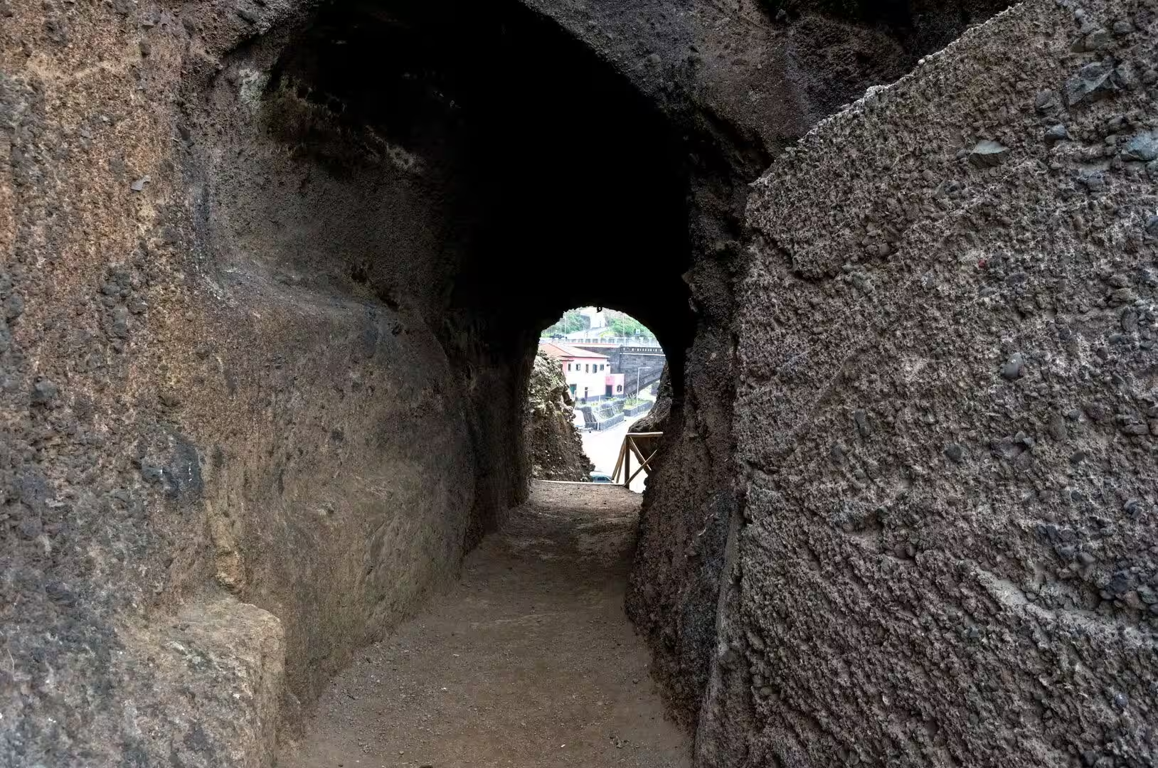
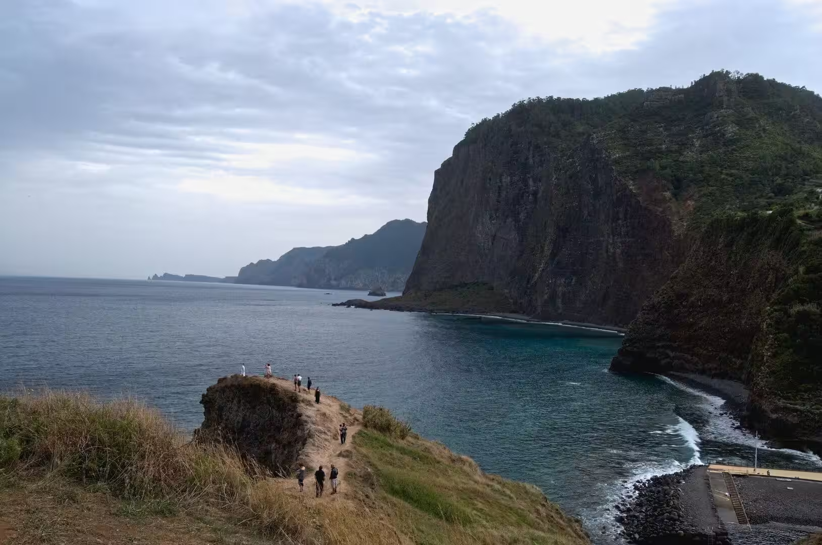
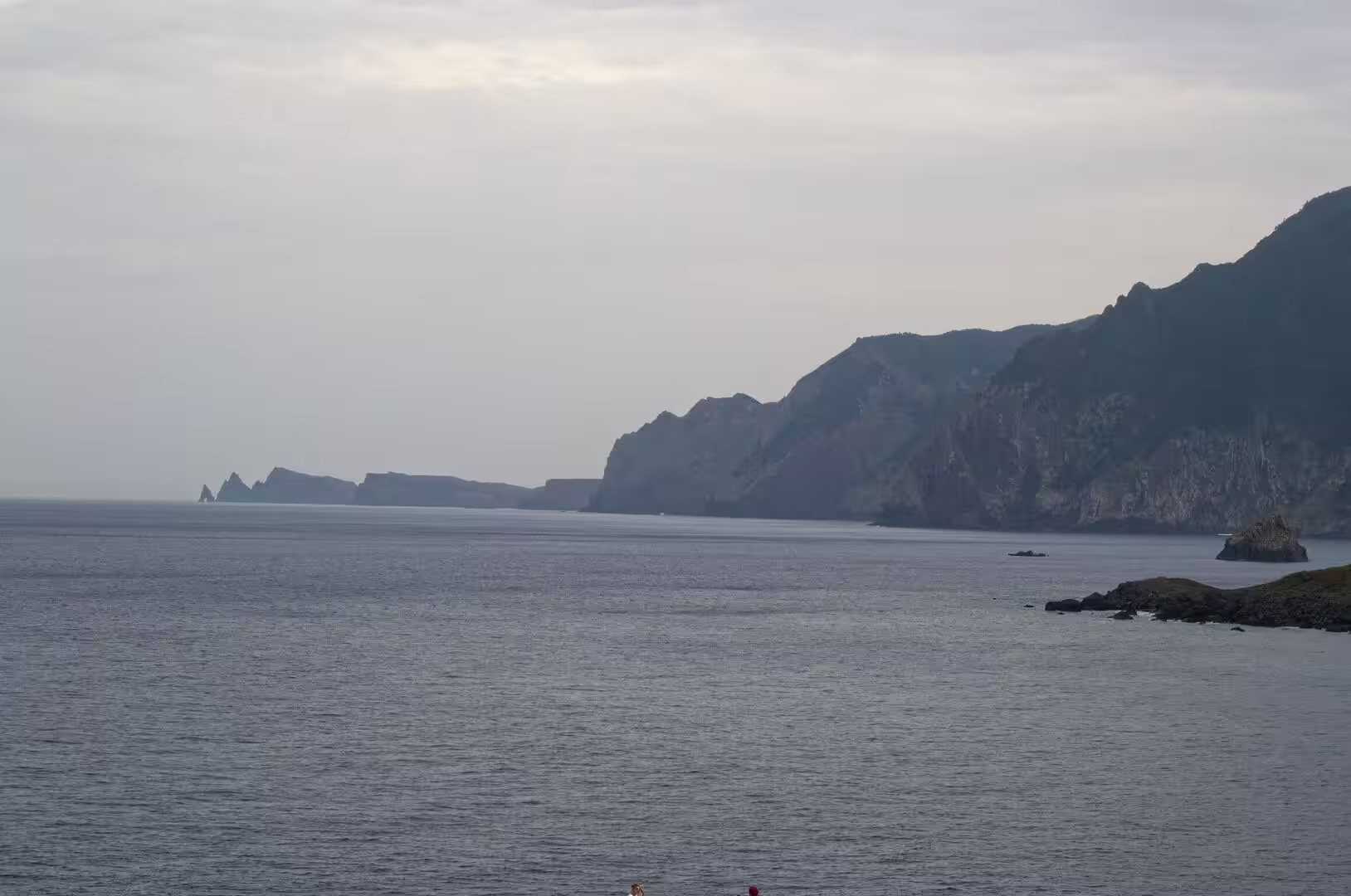
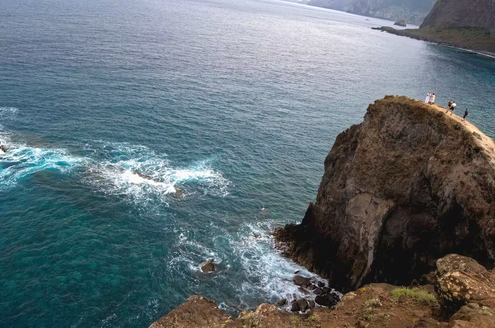
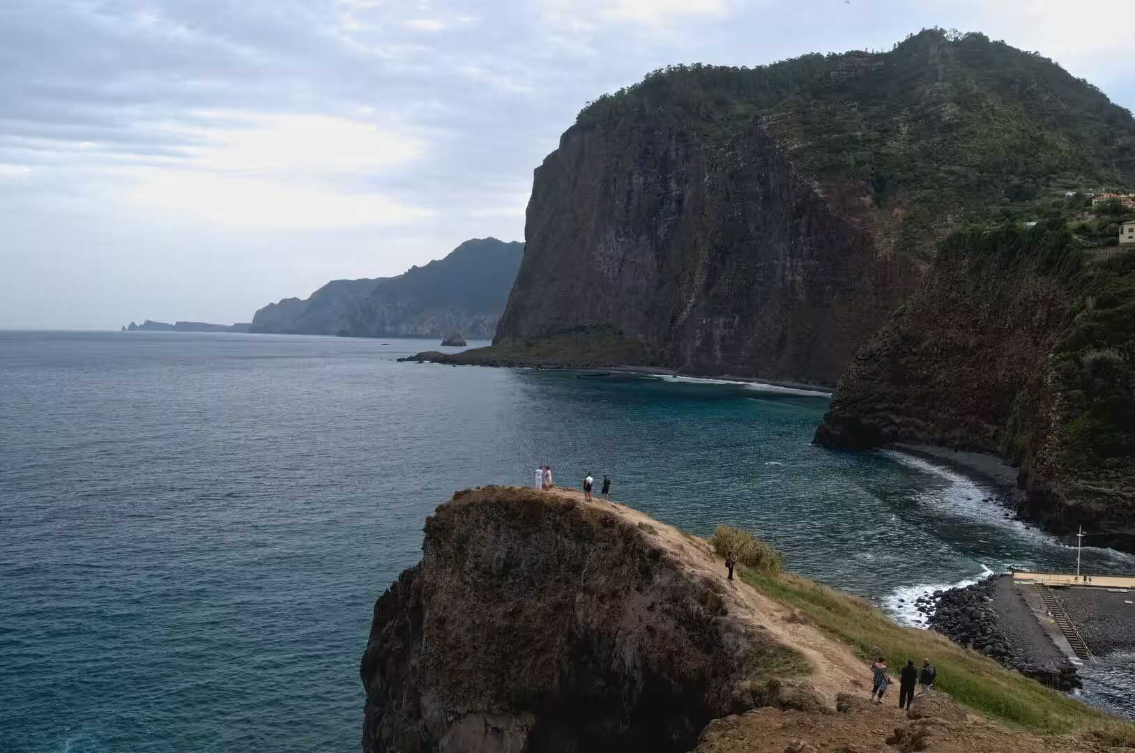
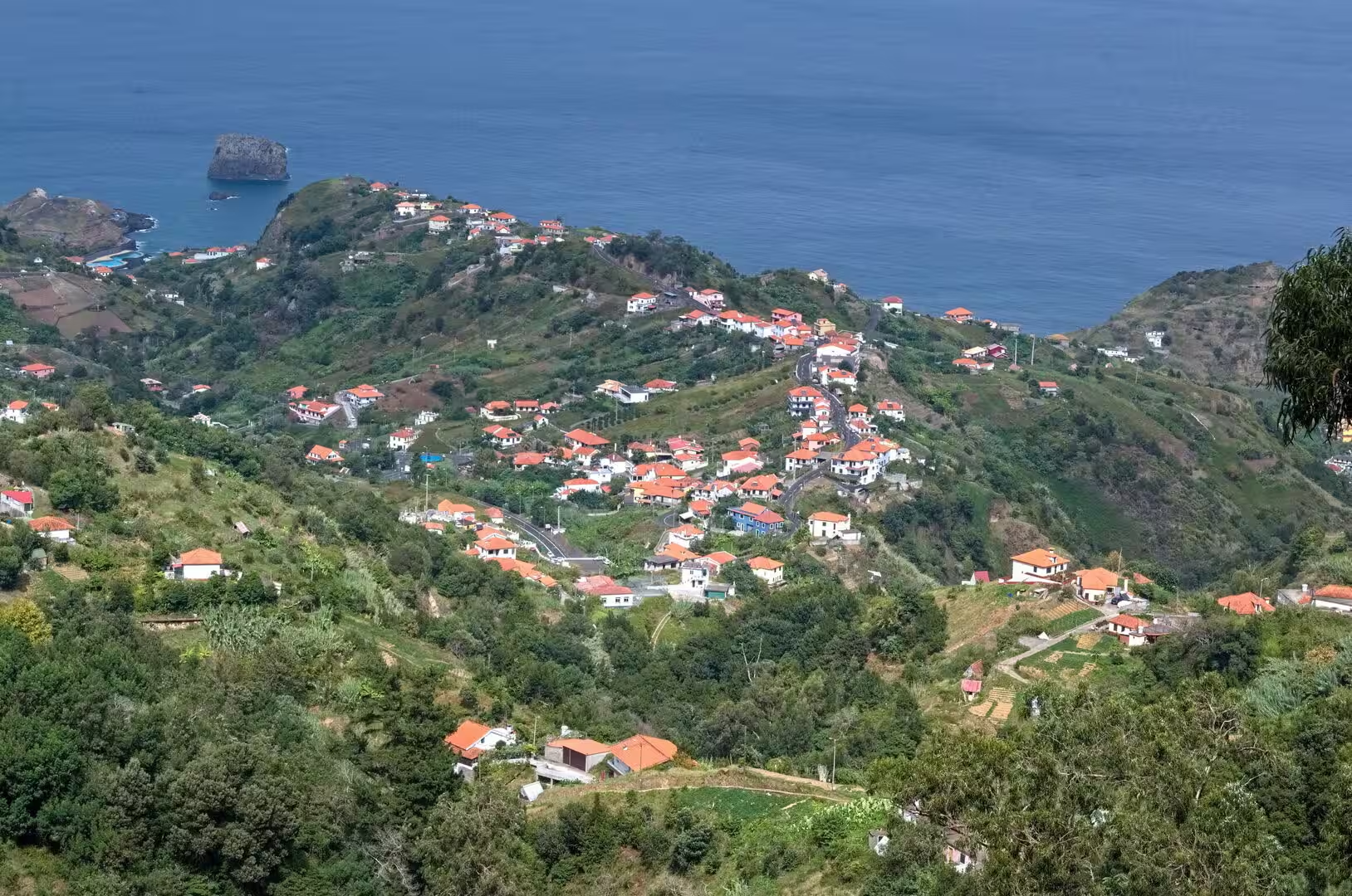
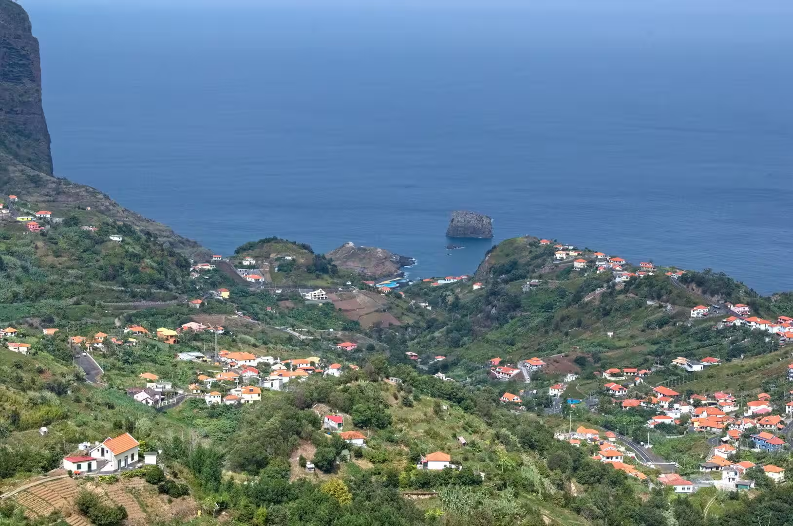
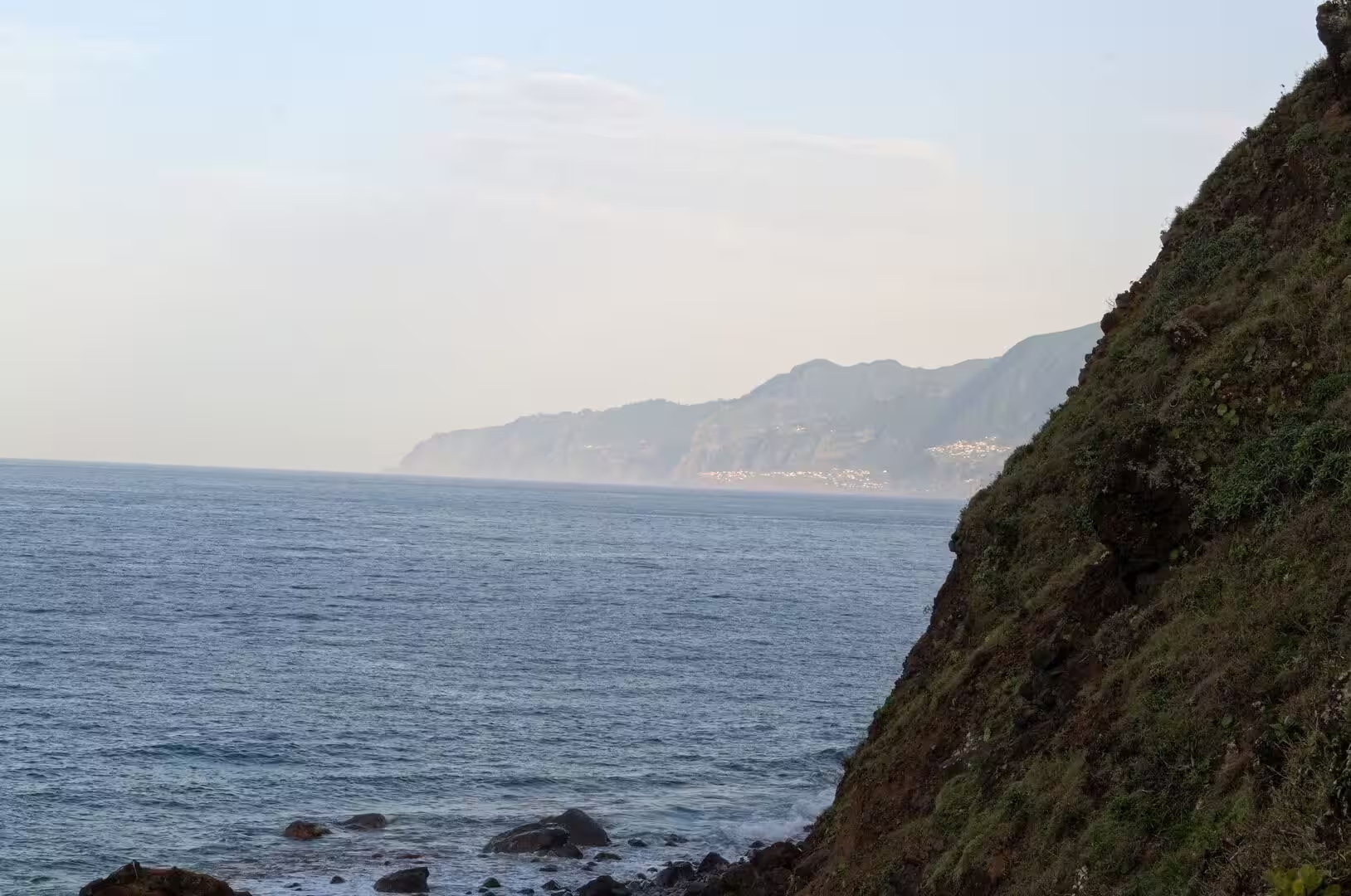
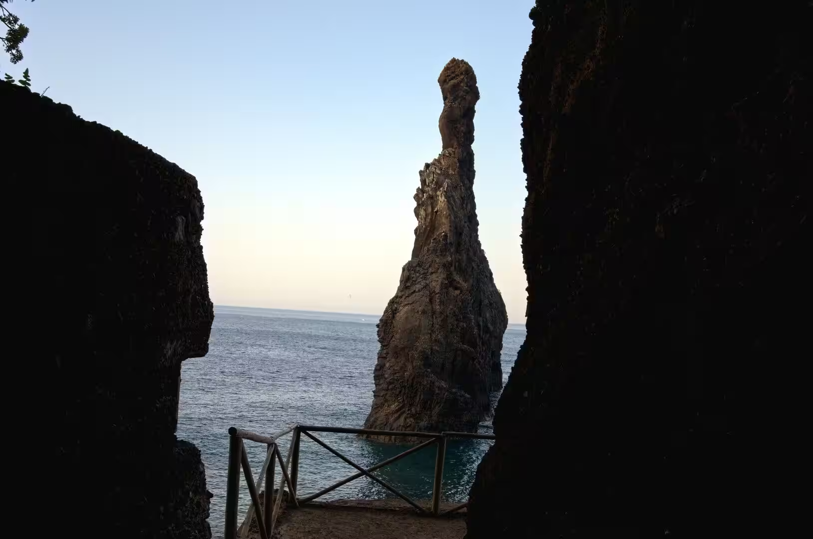
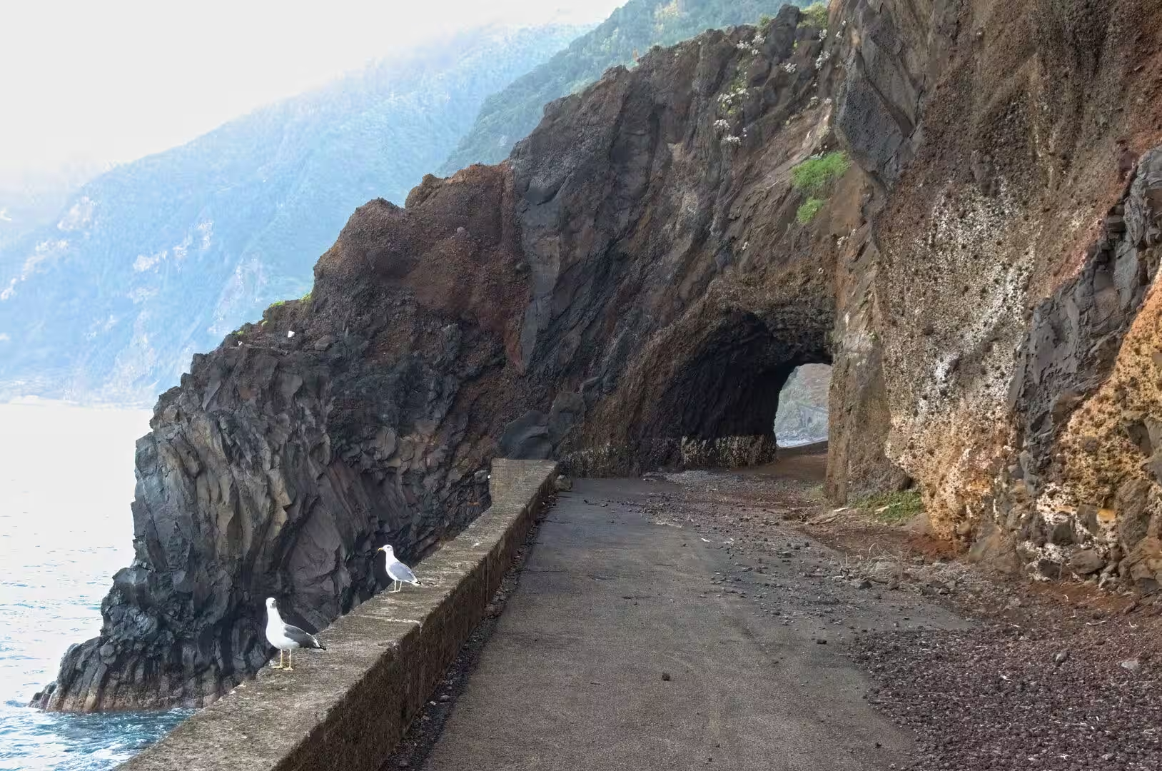
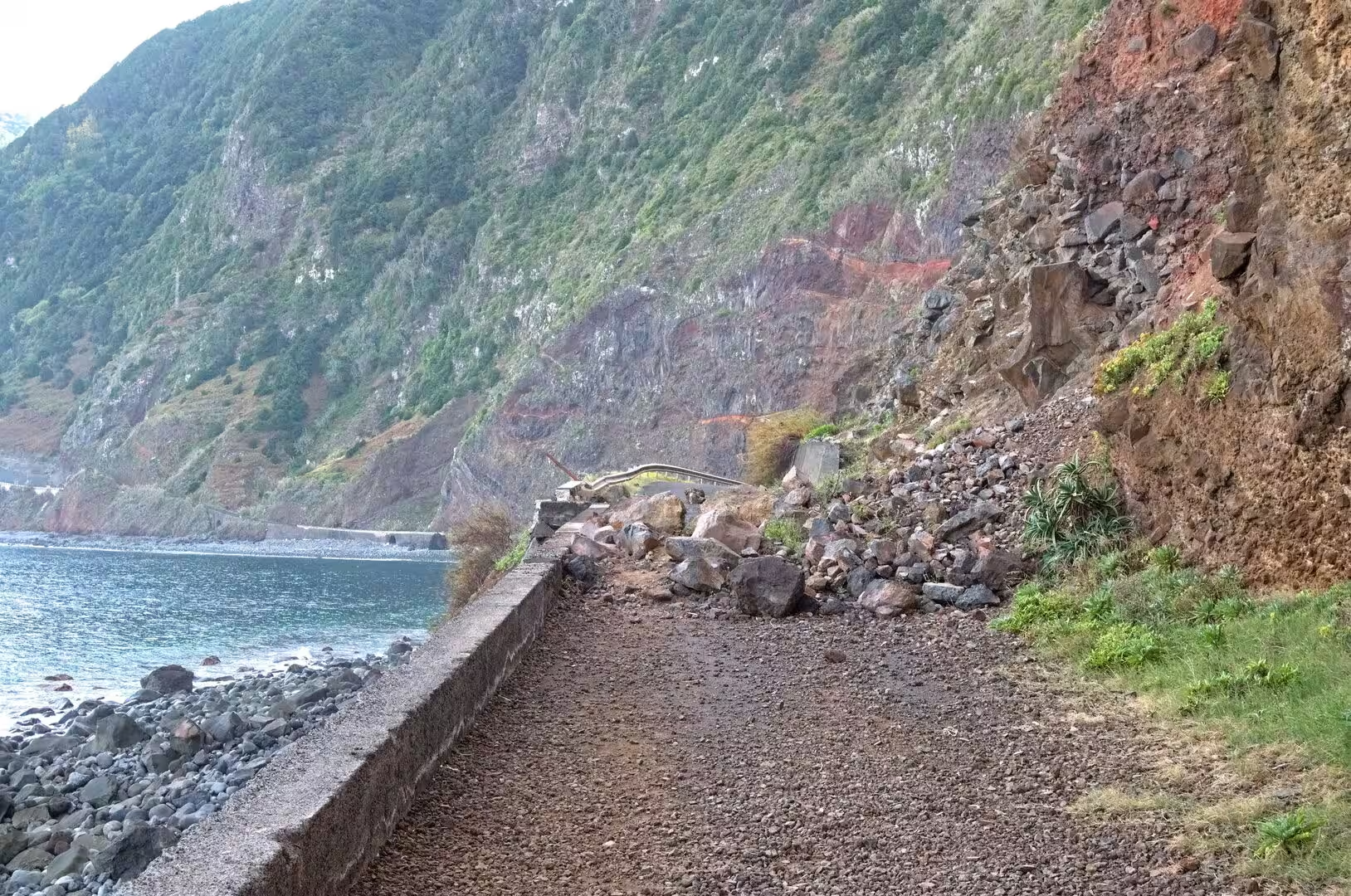
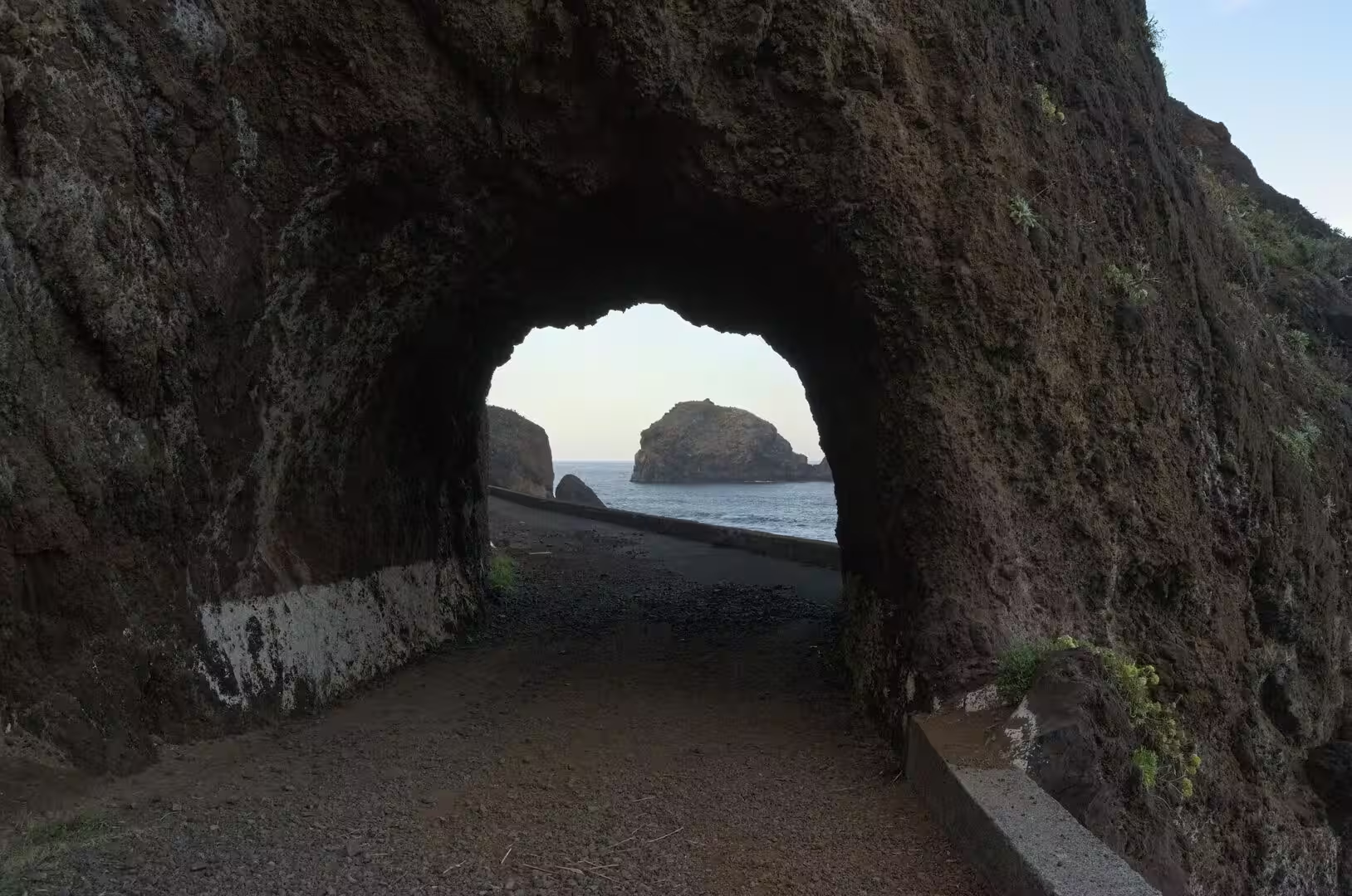
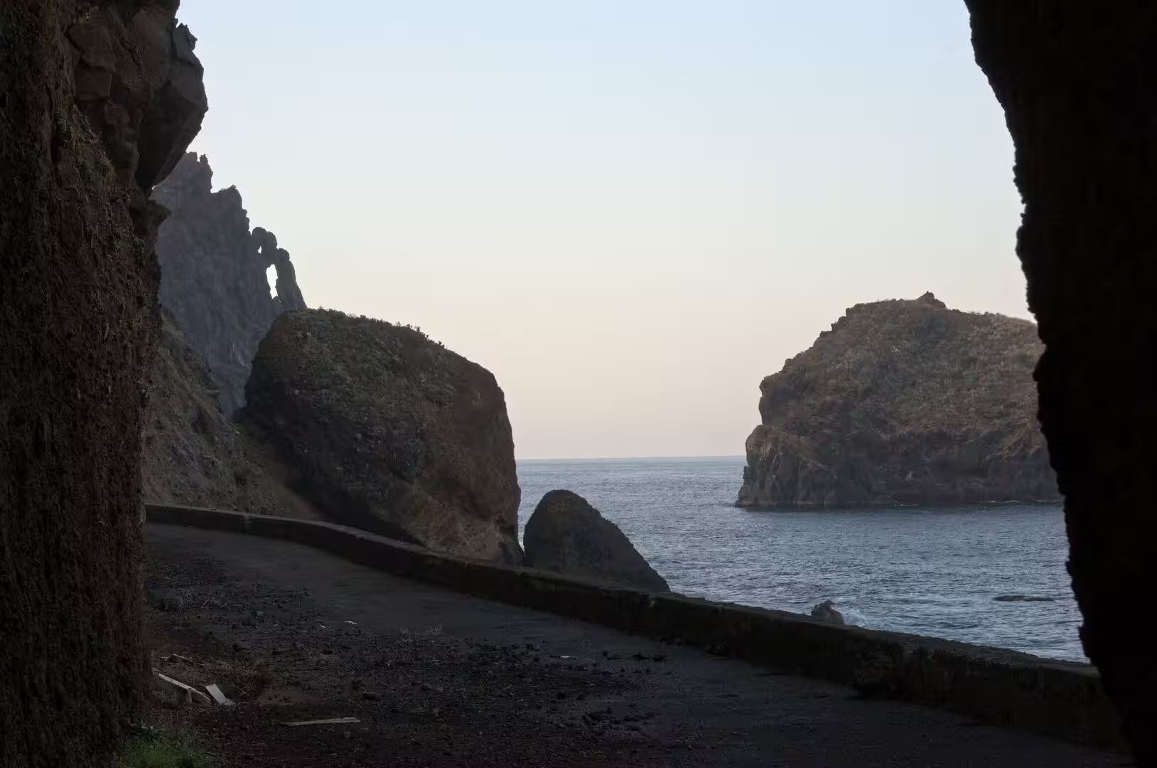
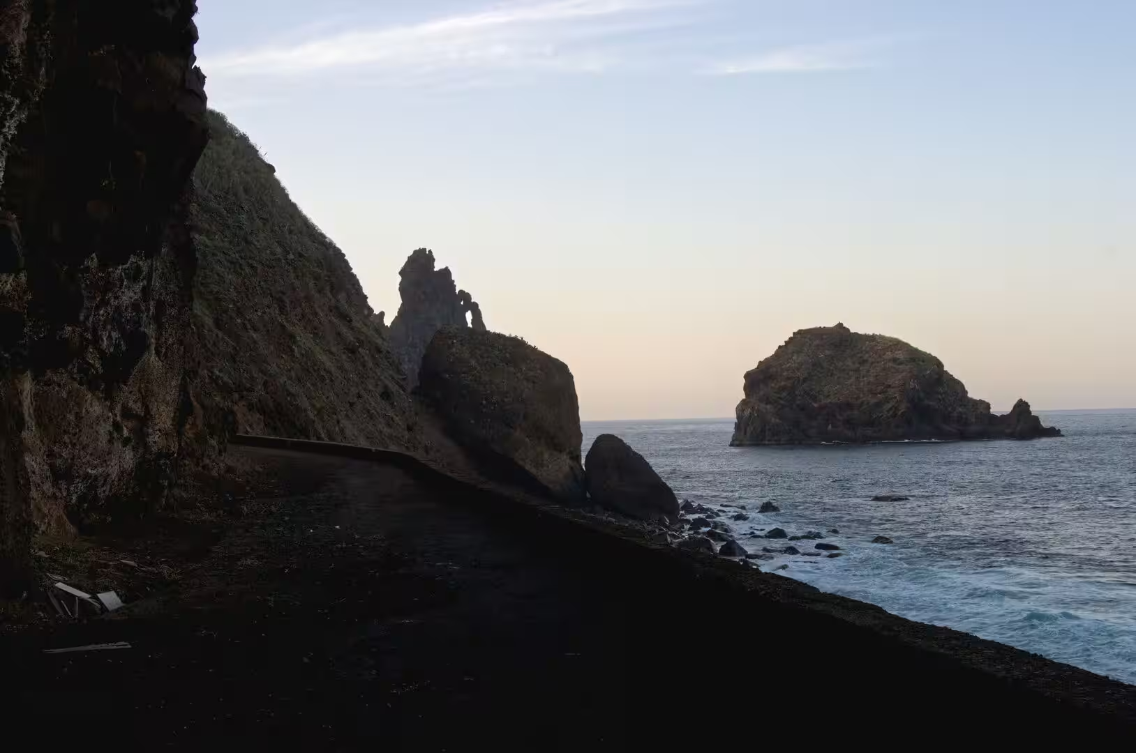
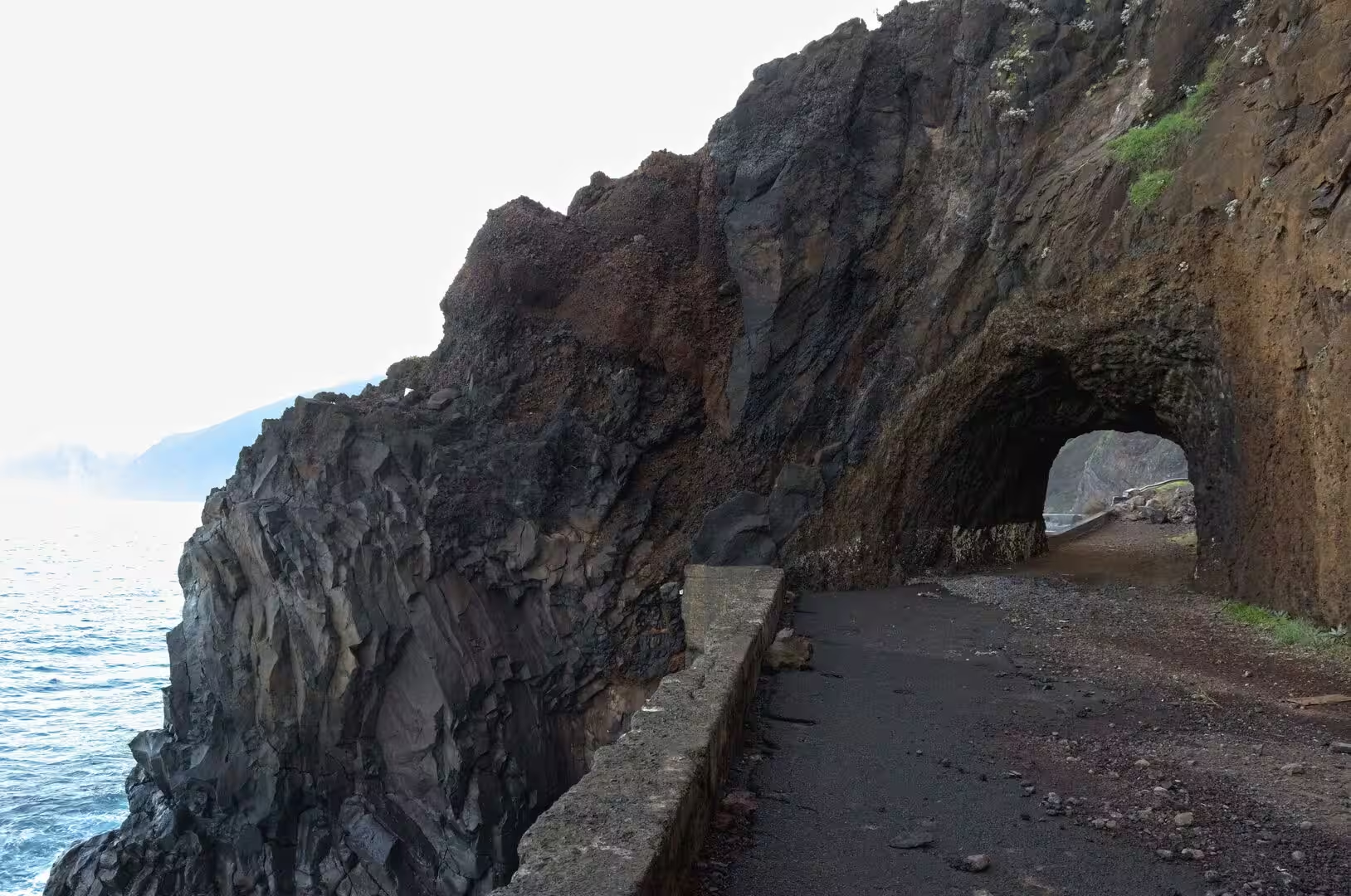
The return along the coast is a sequence of tunnels, headlands and rock towers. The paved road sweeps into a tunnel at the base of steep green cliffs, hugs the rock beside dark towers rising from the sea, and appears again framed by the dark mouth of the next passage; seagulls perch on a stone wall before one of them. A slender rock pillar and a rounded islet stand alone in teal water, and a small white village sits at the foot of steep cliffs beside an offshore rocky islet.
References
- Wikipedia contributors (2026). Madeira. en.wikipedia.org/wiki/Madeira
- Wikipedia contributors (2026). Madeira Island. en.wikipedia.org/wiki/Madeira_Island
- Wikipedia contributors (2026). Autonomous Region of Madeira. en.wikipedia.org/wiki/Autonomous_Region_of_Madeira
- Wikipedia contributors (2026). History of Madeira. en.wikipedia.org/wiki/History_of_Madeira
- Wikipedia contributors (2026). Cabo Girão. en.wikipedia.org/wiki/Cabo_Gir%C3%A3o
- Wikipedia contributors (2026). Câmara de Lobos. en.wikipedia.org/wiki/C%C3%A2mara_de_Lobos
- Wikipedia contributors (2026). Ribeira Brava, Madeira. en.wikipedia.org/wiki/Ribeira_Brava%2C_Madeira
- Wikipedia contributors (2026). Curral das Freiras. en.wikipedia.org/wiki/Curral_das_Freiras
- Wikipedia contributors (2026). Paul da Serra. en.wikipedia.org/wiki/Paul_da_Serra
- Wikipedia contributors (2026). Madeira Nature Reserve. en.wikipedia.org/wiki/Madeira_Nature_Reserve
- Wikipedia contributors (2026). Laurisilva. en.wikipedia.org/wiki/Laurisilva
- Wikipedia contributors (2026). Macaronesia. en.wikipedia.org/wiki/Macaronesia
- Wikipedia contributors (2026). Madeira wine. en.wikipedia.org/wiki/Madeira_wine
- Wikipedia contributors (2026). 2010 Madeira floods and mudslides. en.wikipedia.org/wiki/2010_Madeira_floods_and_mudslides
- Kiesow, Bork (2017). Agricultural terraces as a proxy to landscape history on Madeira island, Portugal. Ler História. 71. 127-152. doi.org/10.4000/lerhistoria.2912
- Ramalho, Winckler, Madeira, Helffrich (2015). Hazard potential of volcanic flank collapses raised by new megatsunami evidence. Science Advances. 1. doi.org/10.1126/sciadv.1500456
- Santos, Quartau, Brum da Silveira, Ramalho (2019). Gravitational, erosional, sedimentary and volcanic processes on the submarine environment of Selvagens Islands (Madeira Archipelago, Portugal). Marine Geology. 415. 105945. doi.org/10.1016/j.margeo.2019.05.004
- Lopes, Fragoso, Lopes (2020). Heavy Rainfall Events and Mass Movements in the Funchal Area (Madeira, Portugal): Spatial Analysis and Susceptibility Assessment. Atmosphere. 11. 104. doi.org/10.3390/atmos11010104