Day 14 - Utah
6 June 2022




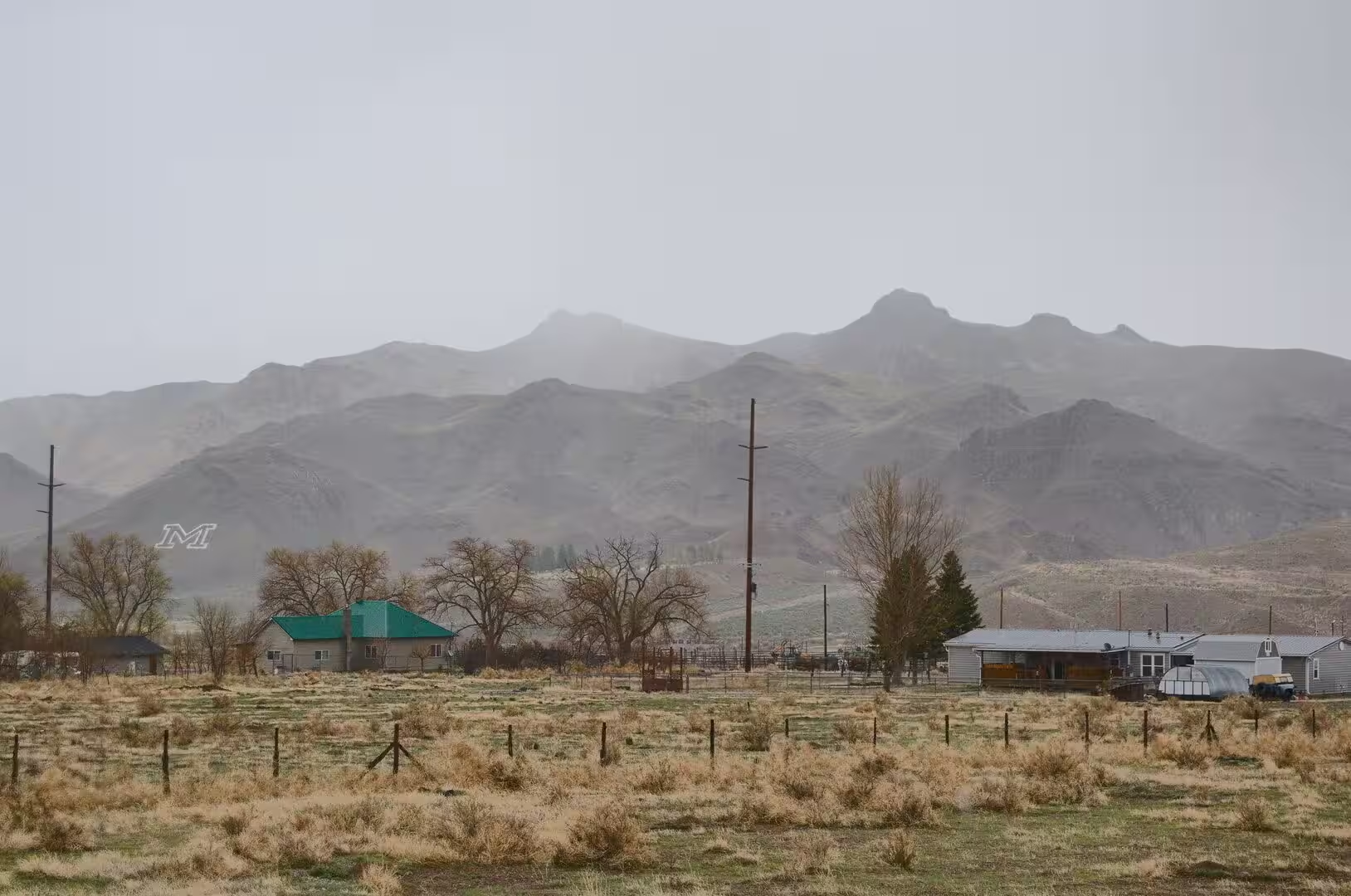
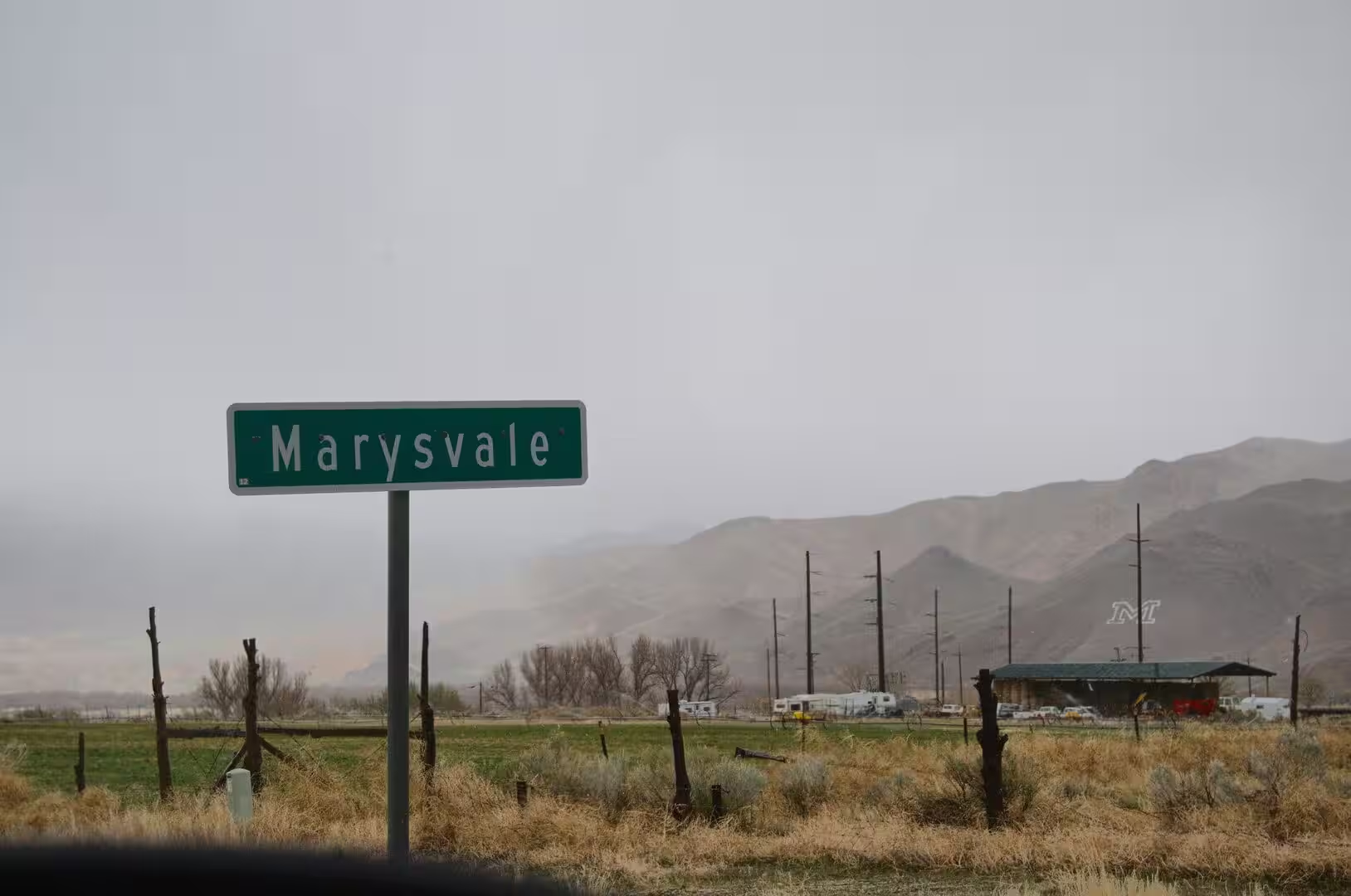

Journal Notes
General
Utah is a landlocked state of the Mountain West and one of the Four Corners states, sharing a border with Arizona, Colorado and New Mexico, and with Wyoming to the north east, Idaho to the north and Nevada to the west. Its area of 84,899 square miles, or 219,890 square kilometres, makes it the thirteenth largest state, the thirtieth most populous and the eleventh least densely populated. Just over three million people live in Utah, two thirds of them along the Wasatch Front, whose chief city and the capital of the state is Salt Lake City.
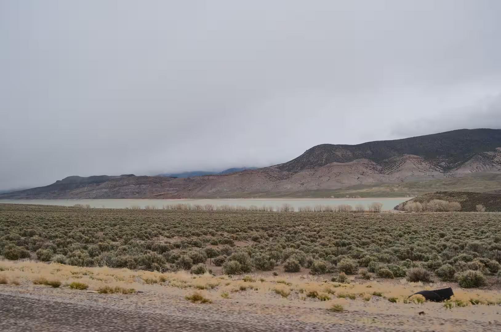
Three geological regions meet inside Utah: the Rocky Mountains, the Great Basin and the Colorado Plateau. Most of the western half of the state lies in the Great Basin, a country of parallel ranges and dry valleys. In the north east the Uinta Mountains run east to west and rise above 13,000 feet; Kings Peak, at 13,528 feet or 4,123 metres, is the highest point in the state. The lowest ground is in Beaverdam Wash in the far south west, at about 2,000 feet, in the district that early settlers called Dixie because they managed to grow cotton there.
The climate is dry, for the state lies largely in the rain shadow of the Sierra Nevada and the eastern half of it in the rain shadow of the Wasatch Mountains. Most of the precipitation comes from the Pacific Ocean, and the contrast between the hot desert basins and the cold high plateaus is extreme. Droughts have grown more frequent and more severe. Southern Utah belongs to the Colorado Plateau, and its towns are small and widely spaced. Kanab, the seat of Kane County, had 4,683 inhabitants in 2020 and stands on Kanab Creek just north of the Arizona line.
Tourism is one of the chief industries of Utah, which counts five national parks, Arches, Bryce Canyon, Canyonlands, Capitol Reef and Zion, the third highest number of any state after Alaska and California. Nine national monuments are protected as well, among them Grand Staircase-Escalante and Cedar Breaks. The red rock country of the south became a favourite setting for western films in the middle of the twentieth century and remains the image by which the state is known. Settlement there is still thin: Wayne County had only 2,486 residents in 2020, the third smallest population of any county in Utah.
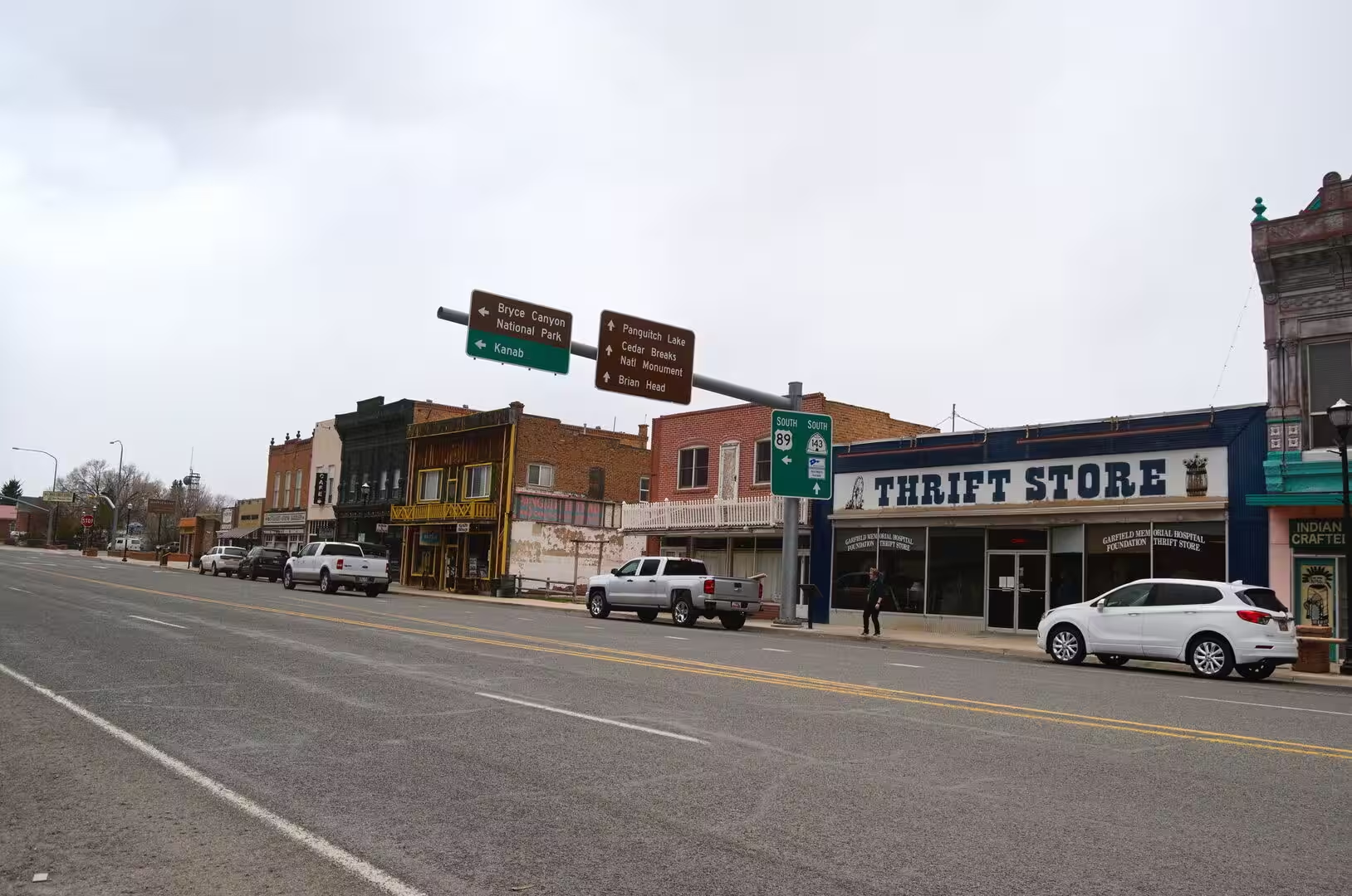
The main road of this part of the state is U.S. Route 89, sometimes called the National Park Highway because it links seven national parks between Arizona and Montana. Its southern section runs 848 miles, or 1,365 kilometres, from Flagstaff to the southern entrance of Yellowstone National Park, and National Geographic has named it the finest drive in the world. In Utah it passes through Kanab, Panguitch, Richfield, Provo and Salt Lake City. U.S. Route 89A meets the main highway in the centre of Kanab, and the two together carry most of the traffic of the southern counties.
History
People have lived in this country for many thousands of years, and the ancient Puebloans, the Navajo and the Ute are the peoples named in the earliest accounts of it. The state takes its name from the Ute, by way of the Spanish word Yuta, which was recorded from the seventeenth century onwards. Archaeology in the Sanpete Valley suggests that small bands of hunters passed through the region as long as 32,000 years ago, and that the Fremont people, who farmed there from about 1 to 1300 CE, were the first inhabitants of that valley to domesticate crops.
The first Europeans to arrive, in the middle of the sixteenth century, were the Spanish, and the region remained a peripheral part of New Spain and afterwards of Mexico because of its harsh geography and climate. The earliest English speaking visitors were fur traders. Peter Skene Ogden, a Canadian in the service of the Hudson’s Bay Company, gave his name to the river in the Weber Valley, and in late 1824 Jim Bridger became the first known English speaking person to see the Great Salt Lake, which he took at first for the Pacific Ocean.
Settlement of the modern kind began with the Mormon pioneers. After the death of Joseph Smith in 1844, Brigham Young became the leader of the Church of Jesus Christ of Latter-day Saints, and in March 1846 the community began to leave Nauvoo in Illinois. The wagon trains set out in earnest in April 1847 and the valley of the Great Salt Lake was founded in that year. About 70,000 people made the journey over the next two decades, and the valley passed from Mexican to American sovereignty in 1848 under the Treaty of Guadalupe Hidalgo.
The church organised its colonisation on a plan, and the towns of Utah were founded by companies of families sent out from Salt Lake City. Parowan, Cedar City, Nephi, Fillmore, Provo and Brigham City belong to that period, and Fillmore served as the territorial capital between 1850 and 1856. In the far south the first attempt at Kanab was made in 1864, when Fort Kanab was built on the east bank of Kanab Creek for defence, and the town was founded in 1870, when ten Mormon families moved in. Kanab comes from a Paiute word meaning place of the willows.
Conflict followed settlement. In 1857 the federal government tried to replace Brigham Young as territorial governor, and the quarrel that the Mormons called Buchanan’s Blunder was settled by negotiation. In September 1857 about 120 settlers of the Baker-Fancher party were murdered at Mountain Meadows, and the Utes under Antonga Black Hawk fought federal and territorial forces in the years that followed. On 10 May 1869 the first transcontinental railroad was completed at Promontory Summit, north of the Great Salt Lake. Polygamy was given up, and on 4 January 1896 Utah entered the Union as the forty-fifth state.
Geology
The Colorado Plateau is a physiographic and desert region of the Intermontane Plateaus, centred on the Four Corners area of the south western United States. It covers about 130,000 square miles, or 340,000 square kilometres, in western Colorado, north western New Mexico, southern and eastern Utah, northern Arizona and a small part of south eastern Nevada. About ninety per cent of it is drained by the Colorado River and its chief tributaries, the Green, the San Juan and the Little Colorado. Much of the surface is high desert.
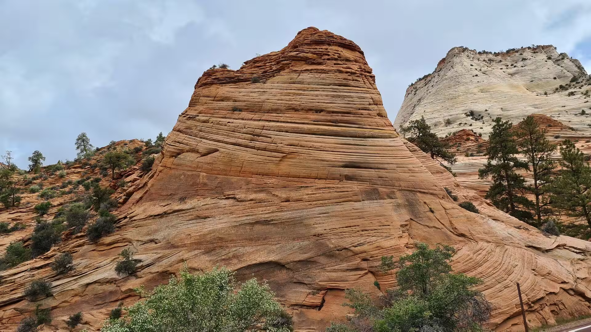
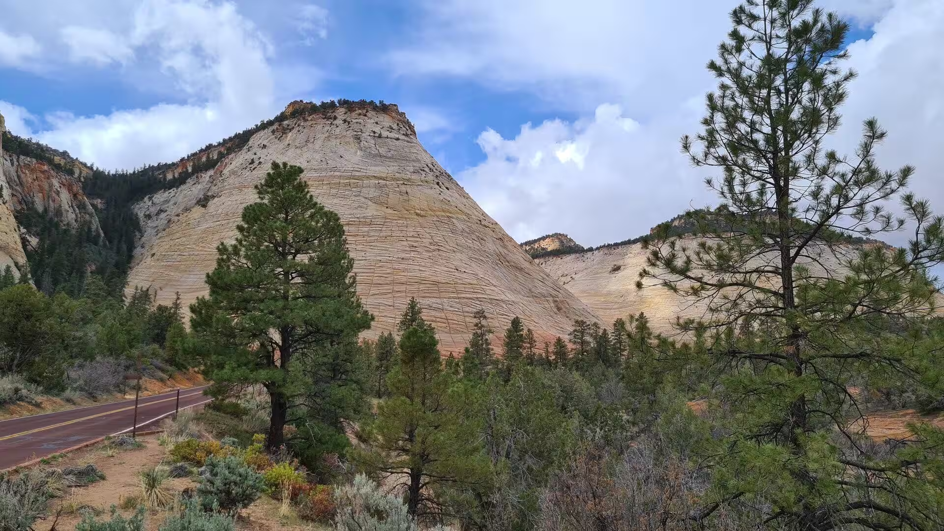
The rocks of the plateau are sedimentary layers that lie almost flat, and they stand between 4,900 and 11,000 feet above sea level. The High Plateaus section, which occupies the south of Utah, is on average the highest part of the province, and normal faults that trend from north to south, among them the Hurricane, Sevier, Grand Wash and Paunsaugunt faults, divide its plateaus from one another. Beyond the Grand Canyon the escarpments of the Grand Staircase take their names from their colour: Chocolate, Vermilion, White, Gray and Pink Cliffs.
The record preserved in these rocks reaches back more than a billion years. Precambrian basement is covered by sedimentary strata and basalt flows between about 1,250 and 750 million years old, which were uplifted and split into fault blocks before the sea returned in the early Palaeozoic. Limestone of the Permian Kaibab Formation, laid down about 270 million years ago, caps the rim of the Grand Canyon, while the Chinle, Moenave and Kayenta formations of the Mesozoic were left by streams, ponds and lakes, and the Navajo and Temple Cap formations by a vast desert of sand.
The softer rocks near the surface make the famous scenery. The Claron Formation, a sequence of lake and stream beds laid down after the uplift that followed about 70 million years ago, forms the delicate hoodoos of Bryce Amphitheater and of Cedar Breaks. Its iron oxides give the rock the orange of hematite and the yellow of limonite, with purple from pyrolusite. Frost weathering and running water have cut the formation into pinnacles up to 200 feet high, and the amphitheatres of the Paunsaugunt Plateau extend more than twenty miles from north to south.
Two further features complete the picture. The Great Salt Lake is the largest saltwater lake in the Western Hemisphere and a remnant of Lake Bonneville, which covered 22,400 square miles at its greatest extent and drained away through Red Rock Pass in Idaho about 16,800 years ago. The lake has no outlet, so its water is far saltier than the sea. The Wasatch Range, about 160 miles long, forms the western edge of the Rocky Mountains; Mount Nebo, its highest point, stands at 11,928 feet, and eighty-five per cent of the population of Utah lives within fifteen miles of the range.
Things to See
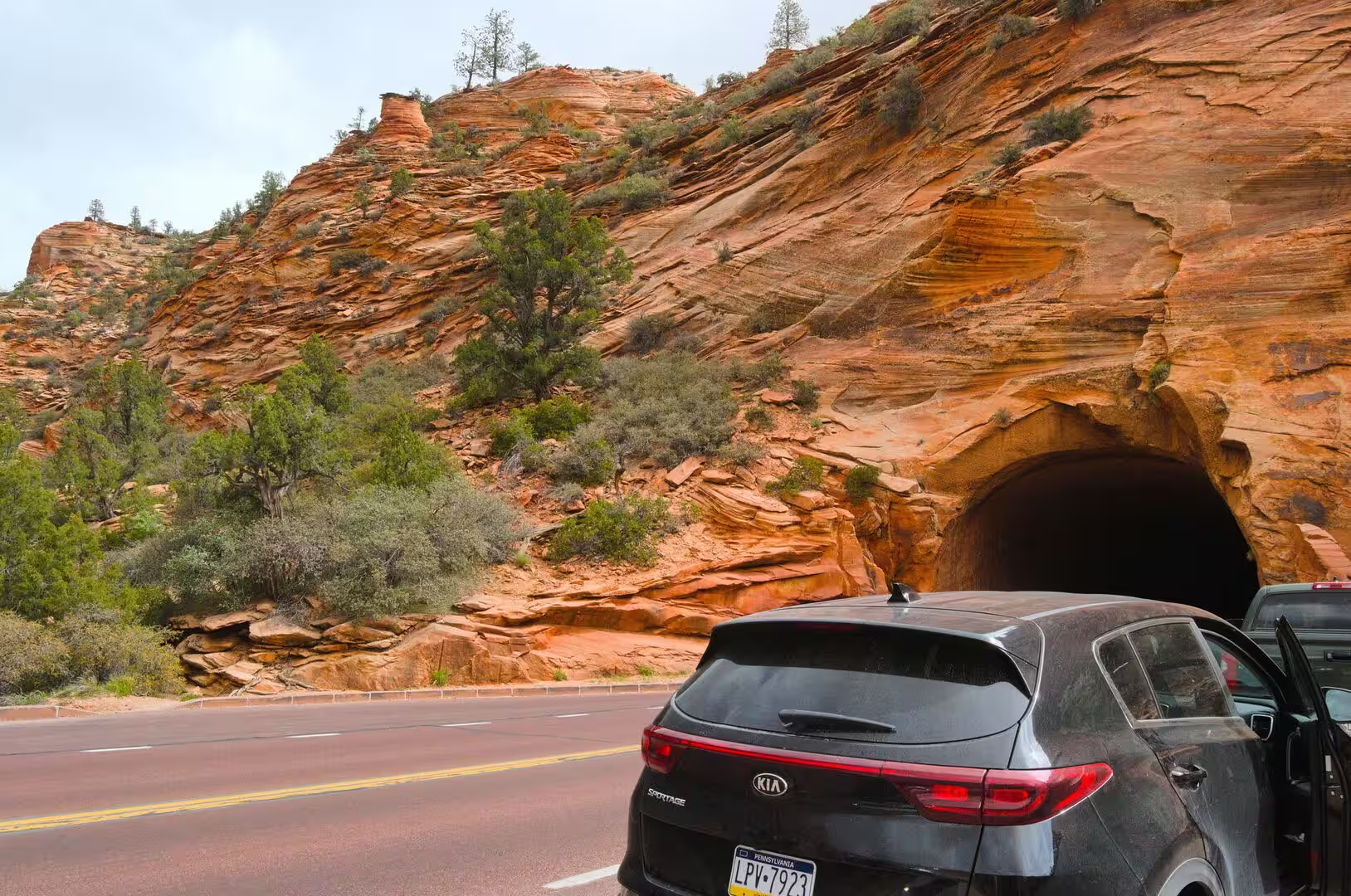
Scenic Byway 12 crosses the high plateaus for 123 miles, or 198 kilometres, between U.S. Route 89 south of Panguitch and the town of Torrey, five miles west of Capitol Reef National Park, and it is designated an All-American Road. It crosses the Dixie National Forest and the edge of Bryce Canyon National Park, passes through Tropic, Cannonville and Henrieville, and runs through the Grand Staircase-Escalante National Monument before it climbs the Aquarius Plateau over Boulder Mountain. Five miles east of its western end it passes through Red Canyon, where arches and short tunnels are cut through a fin of red rock.
Bryce Canyon National Park protects 35,835 acres of Garfield and Kane counties at an altitude of 8,000 to 9,000 feet. It is a series of enormous natural amphitheatres along the eastern side of the Paunsaugunt Plateau, and it is known for its hoodoos, the freestanding pinnacles left by frost and water. The rim road from the northern entrance to Rainbow Point, at 9,105 feet the highest ground in the park, was finished in 1935 and runs for eighteen miles. Bryce Canyon Lodge, built between 1924 and 1925 of local timber and stone, stands on the rim, and the park received almost 2.5 million visitors in 2024.
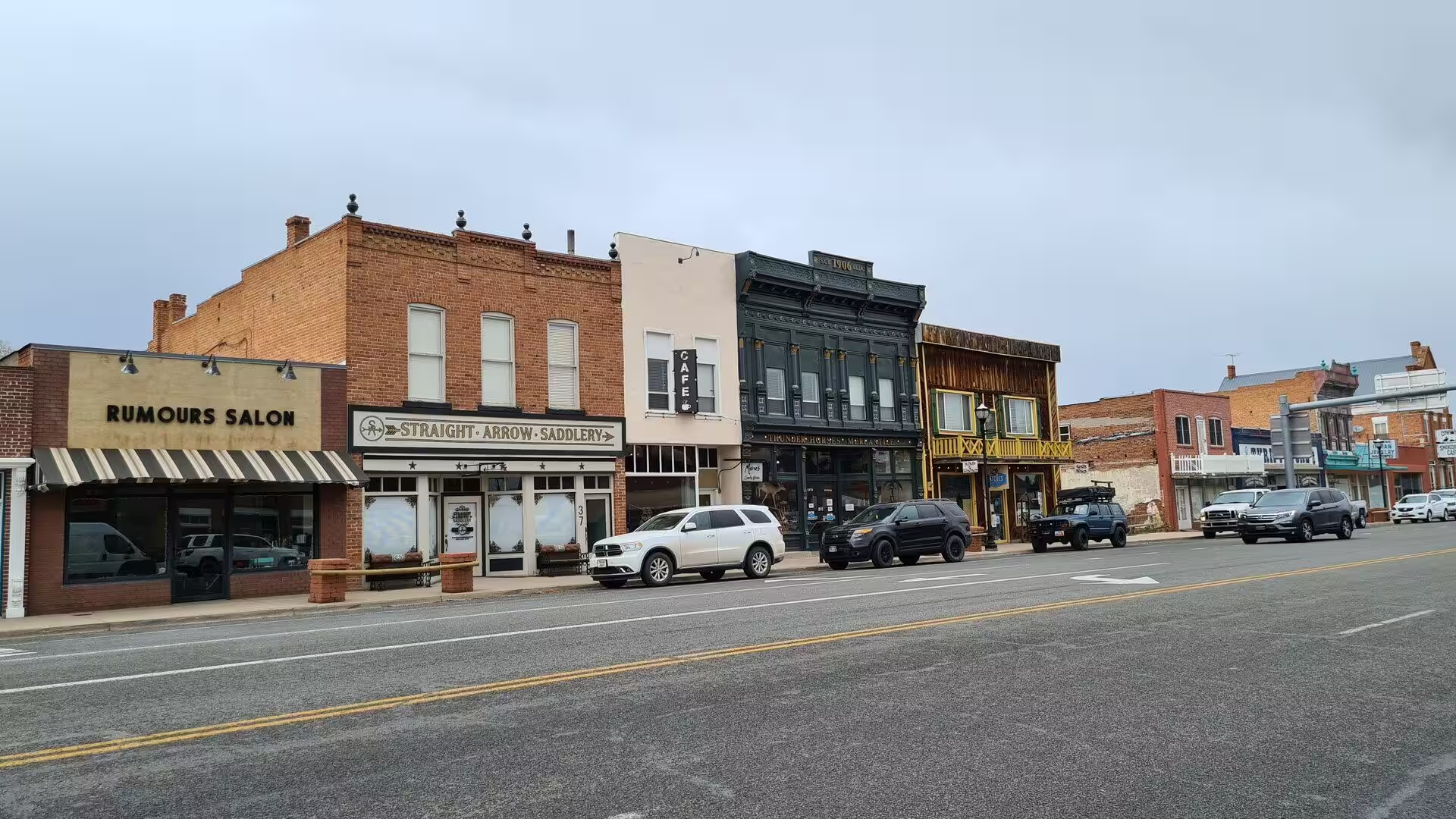
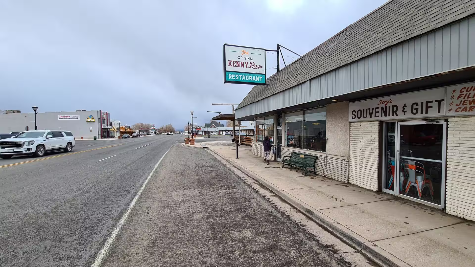
Kanab is the largest town of the country between the Grand Canyon and the plateaus to the north, and the welcome sign calls it the greatest earth on show. Residents know it as Little Hollywood, because westerns such as Stagecoach of 1939, El Dorado of 1966 and Planet of the Apes of 1968 were made in the surrounding country. The town lies in the Grand Circle, a ring of protected landscapes that includes the Vermilion Cliffs, Pipe Spring, Coral Pink Sand Dunes and the north rim of the Grand Canyon.
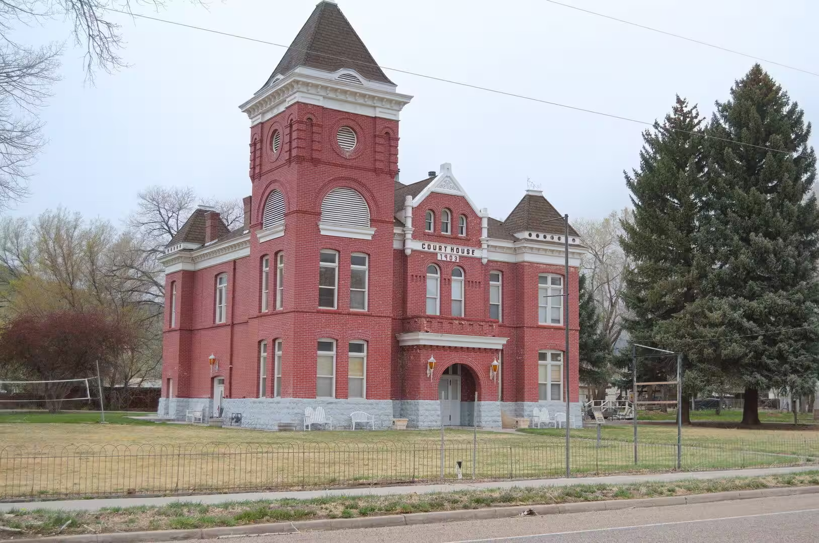
The towns of southern Utah are county seats before they are resorts, and the courthouse stands with the shops of a short main street. Kanab holds the courthouse of Kane County. Wayne County, whose seat is Loa, was created in 1892 out of the eastern part of Piute County because the old county seat was so hard to reach, and it remains one of the least populous counties in the state. Sanpete County, created in 1850, had 28,437 inhabitants in 2020, with Manti as its seat and Ephraim as its largest city. The courthouses of the south are brick buildings of the early twentieth century with towers and white trim.
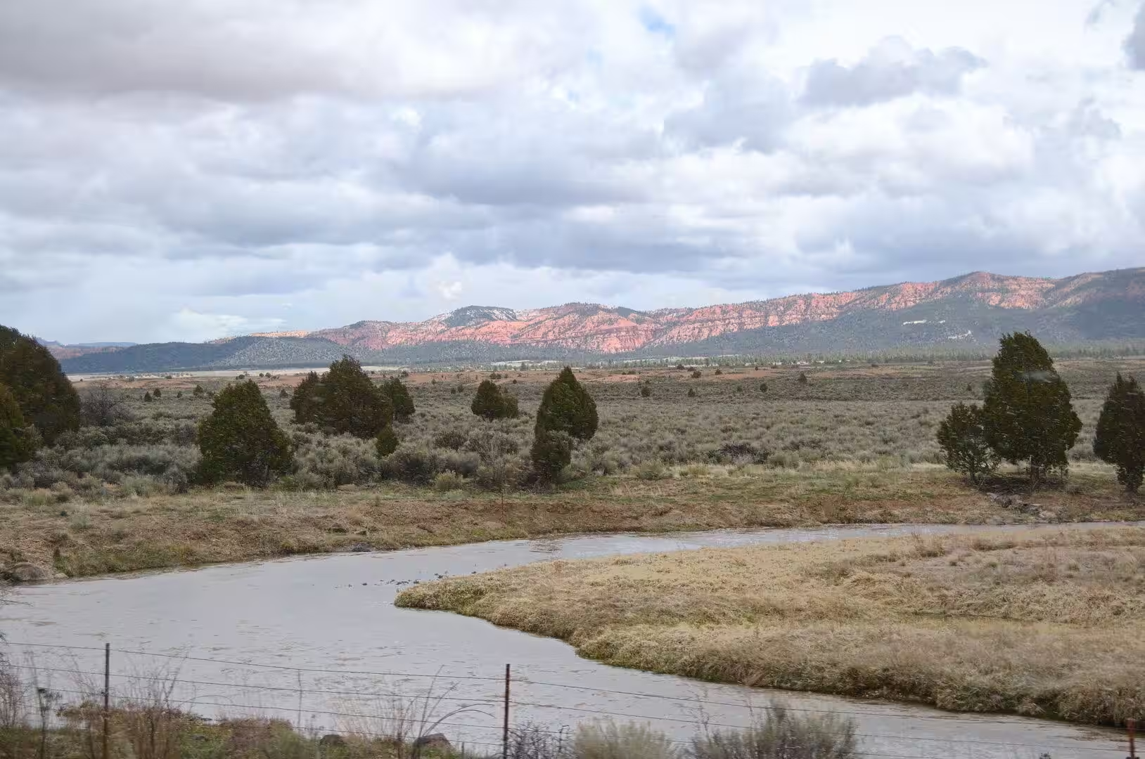
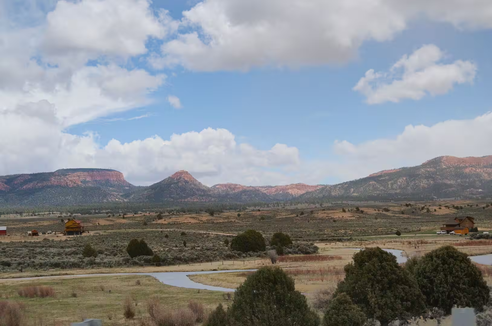
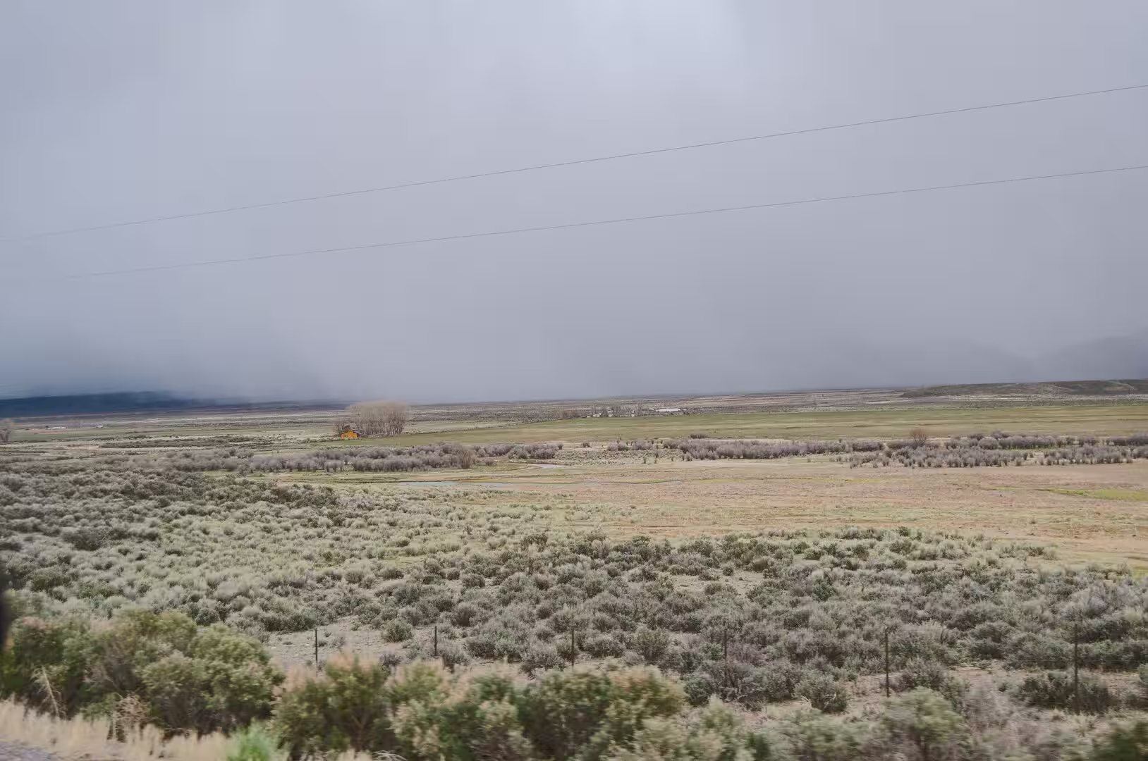
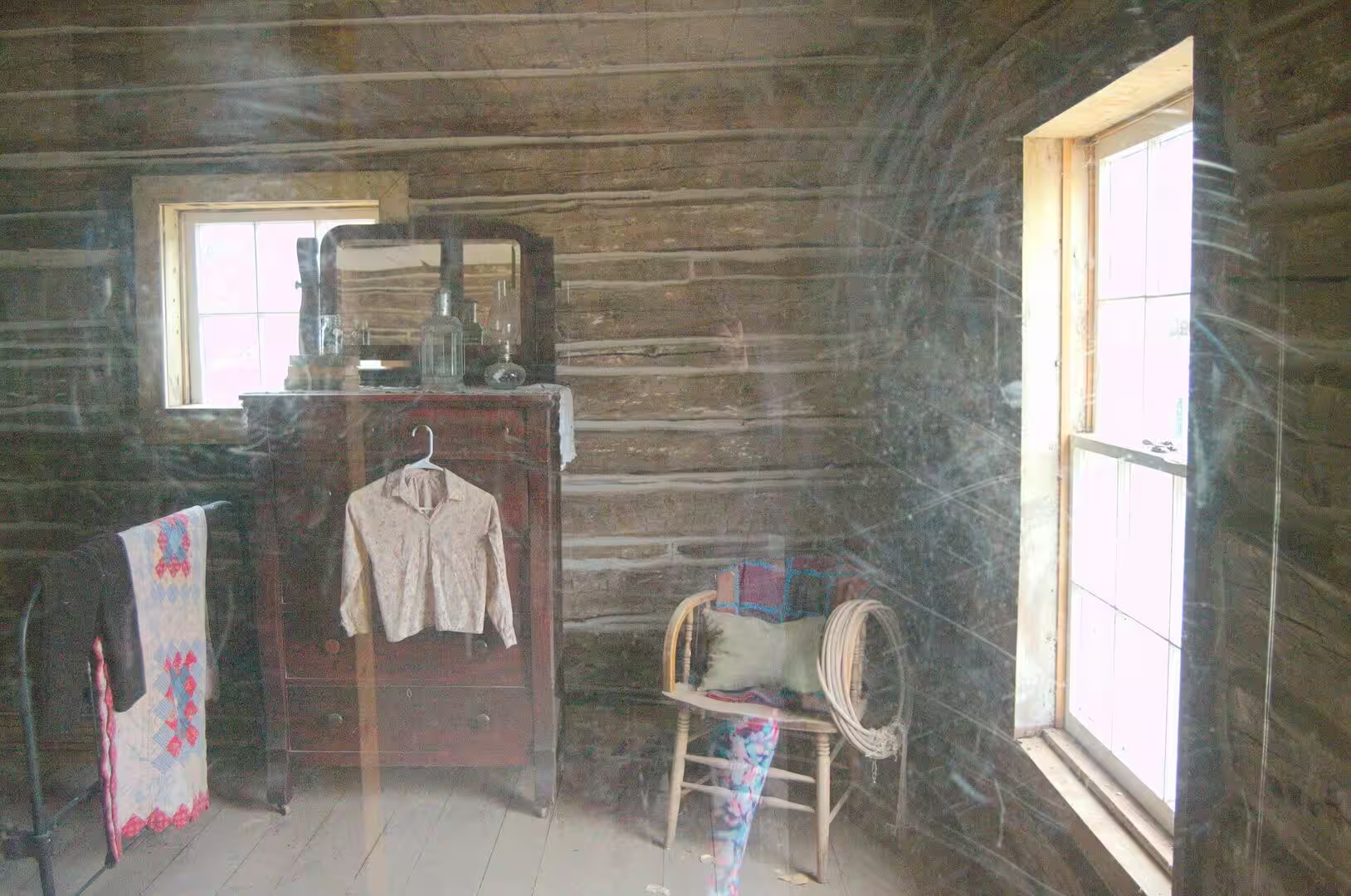
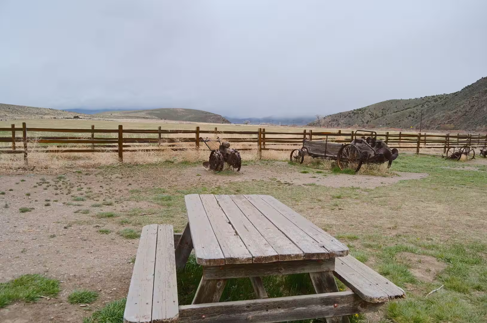
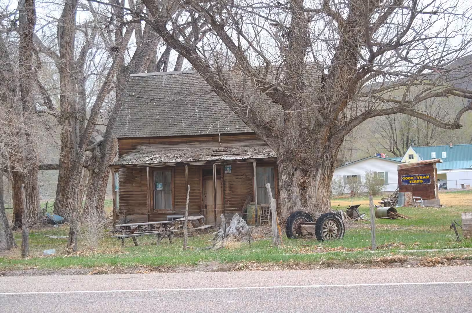
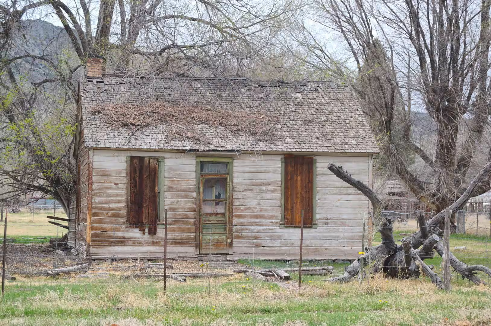
Farming and ranching remain the working economy of the high valleys. Water is taken from the snow of the plateaus and led through ditches onto meadows of grass, and the fields of alfalfa and the herds of sheep and cattle that graze them are older than the parks. Sanpete County is the best example, a valley watered from the western slopes of the Wasatch Plateau, which rises to about 11,000 feet. The old timber cabins, wagons and farm machinery of the first settlers are kept in the small towns, and displays of them stand beside the roads.
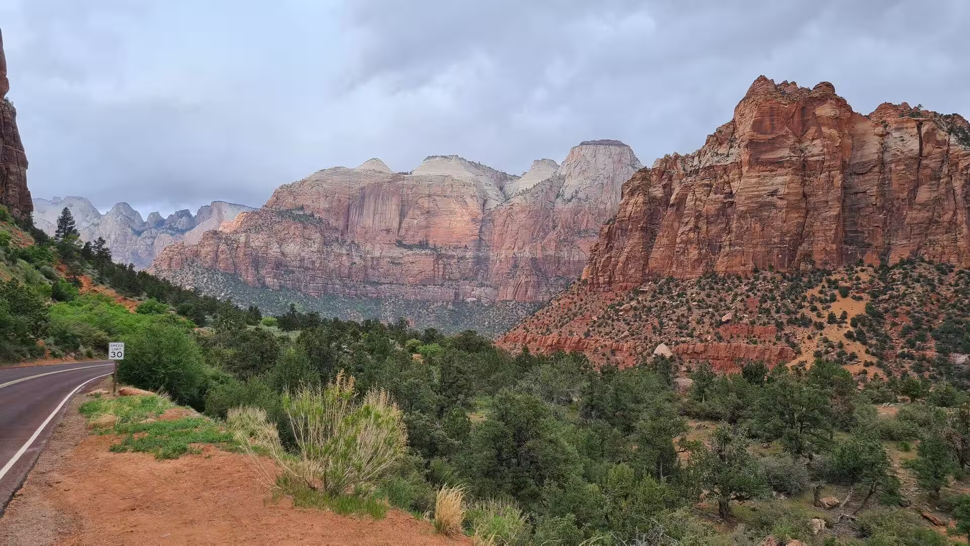
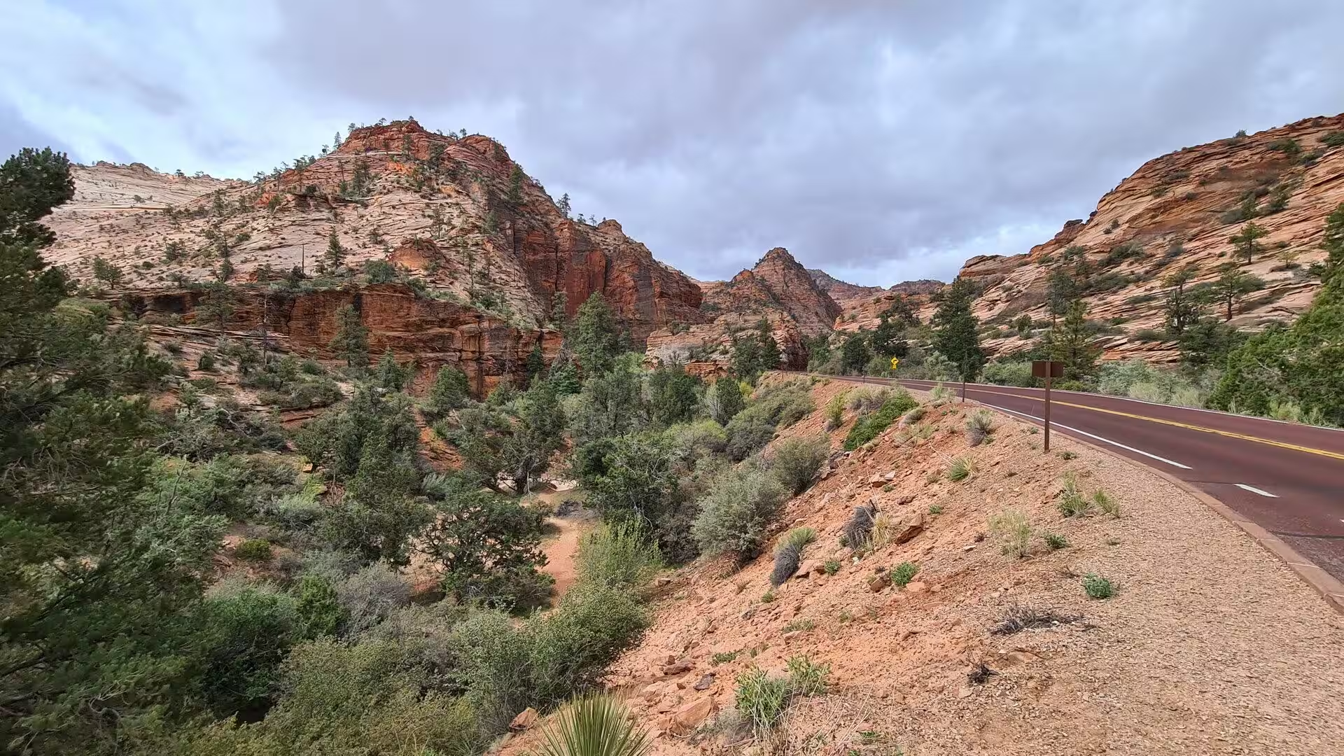
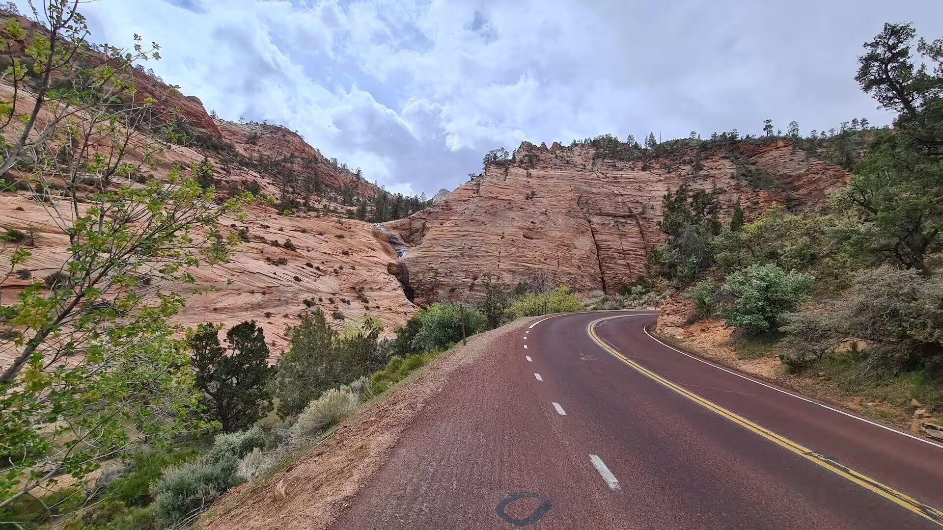
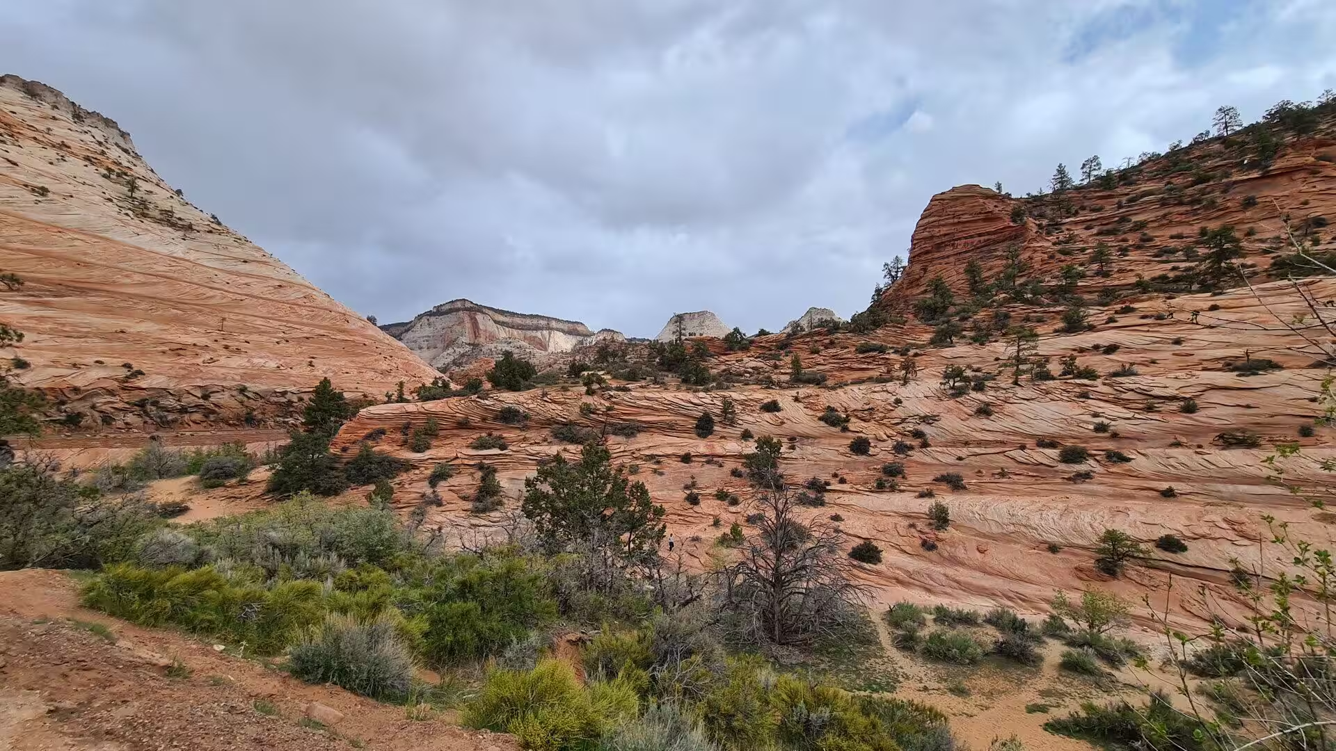
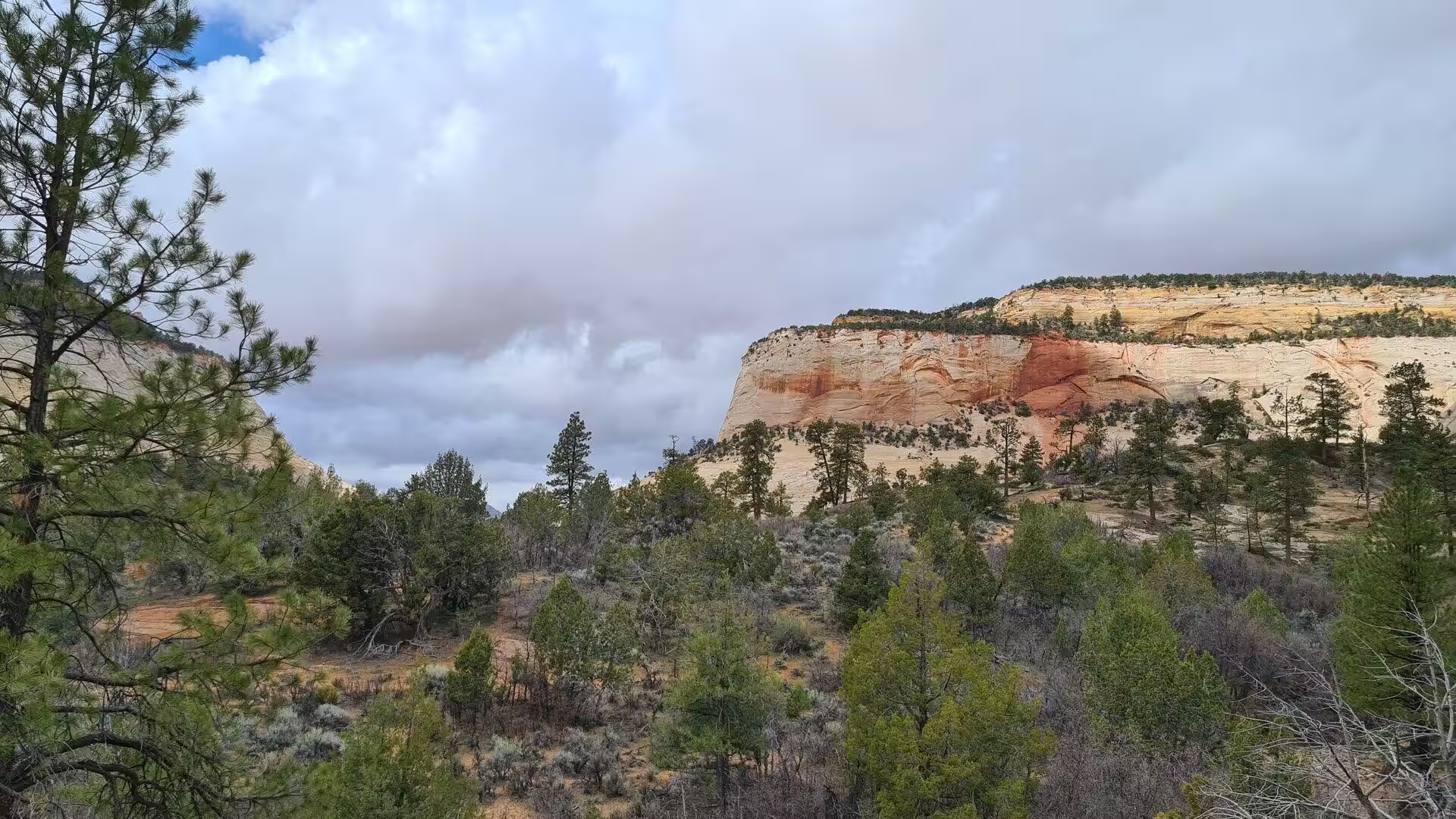
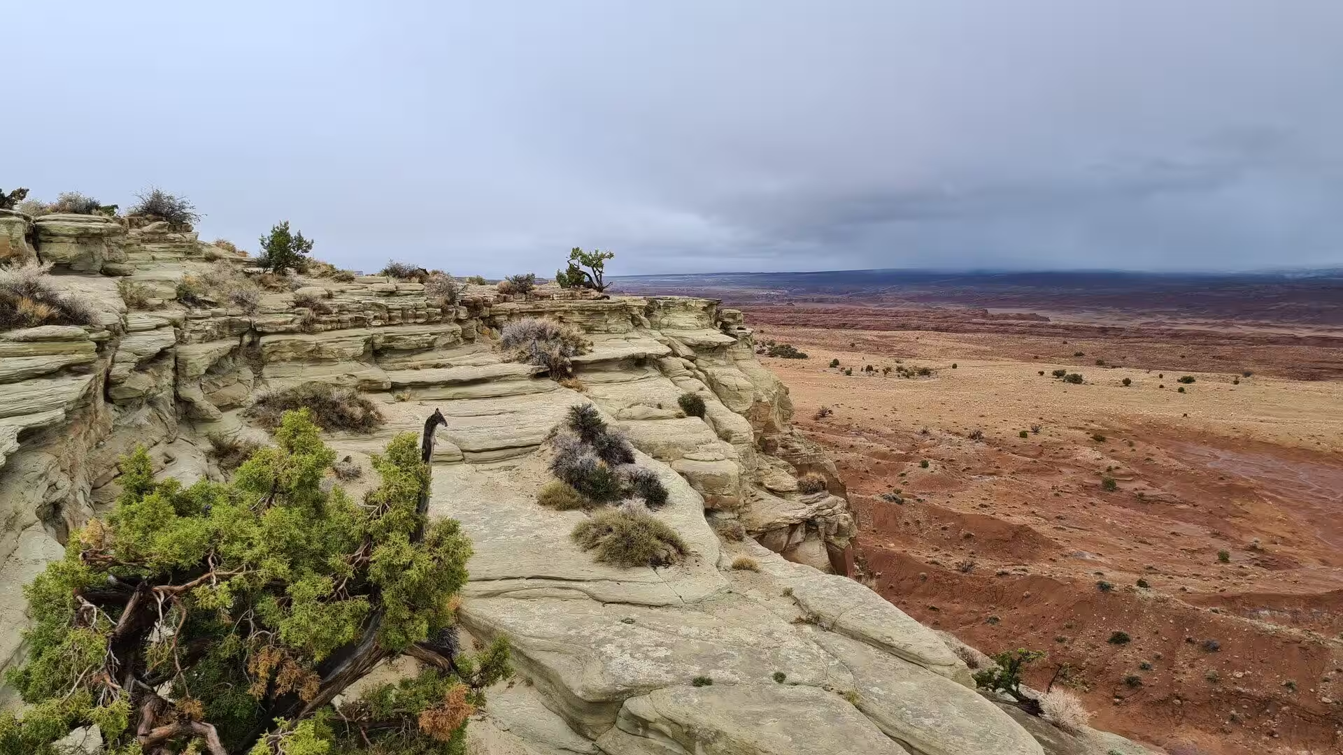
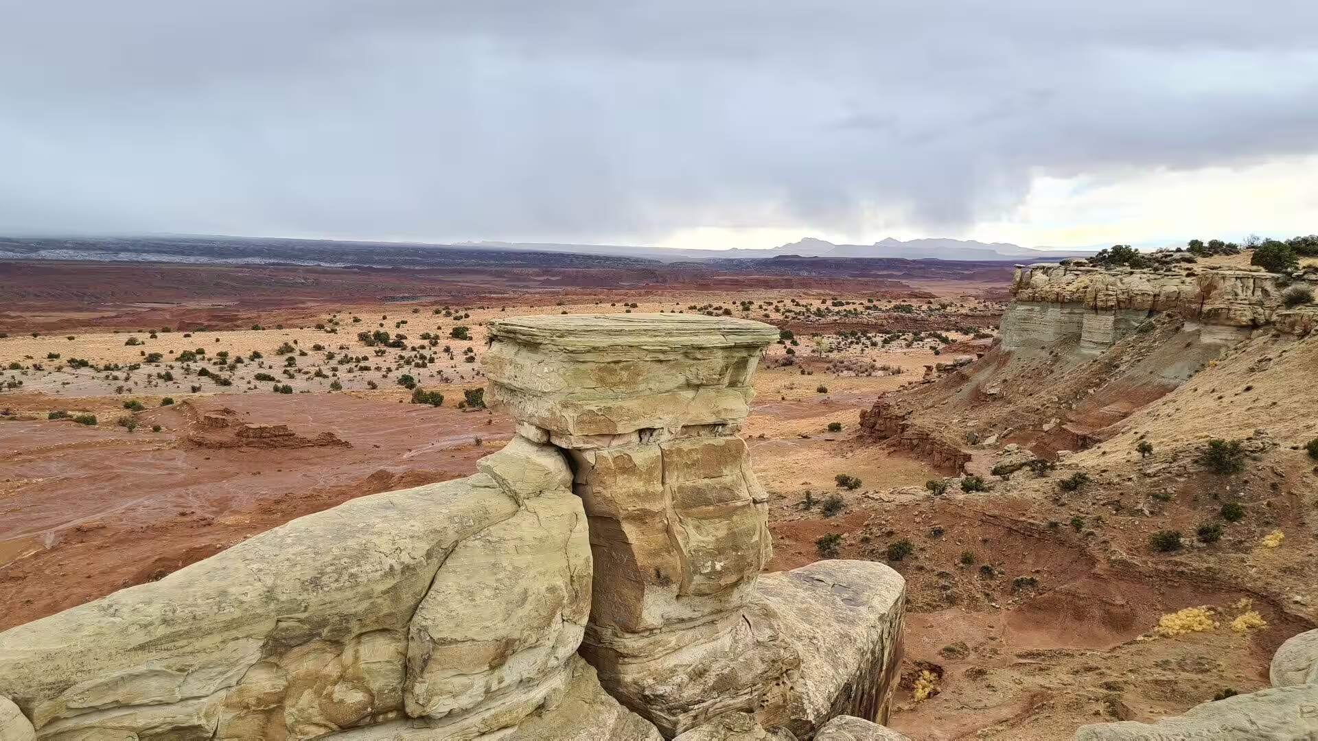
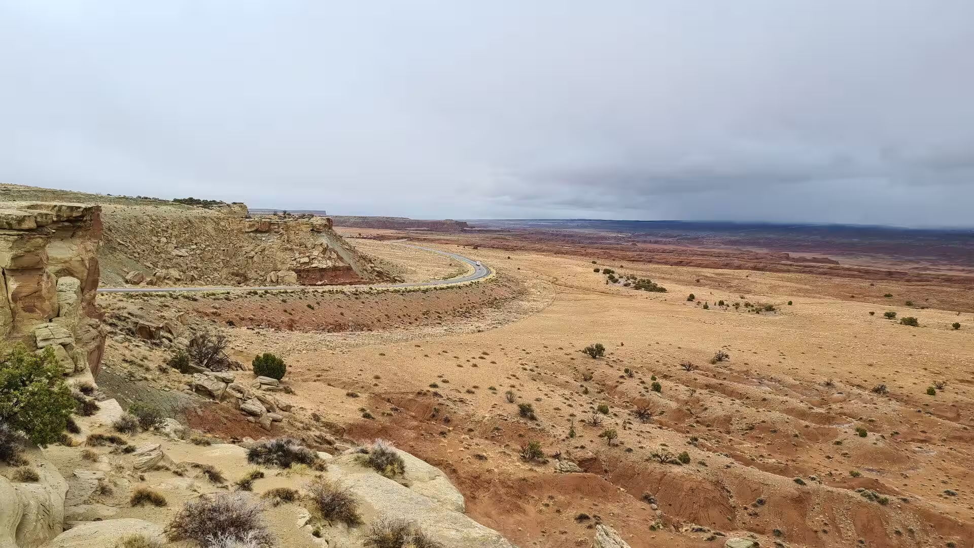
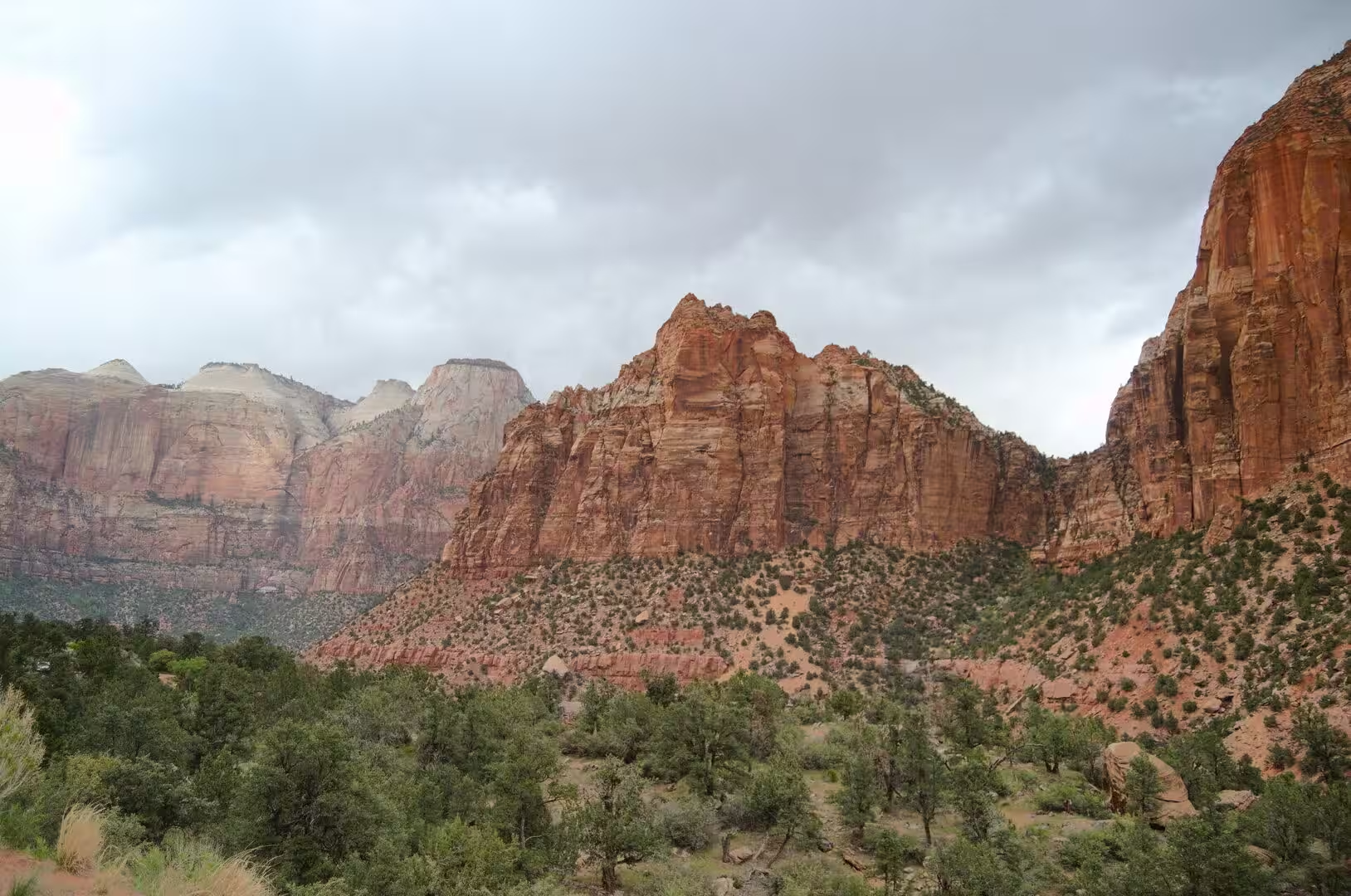
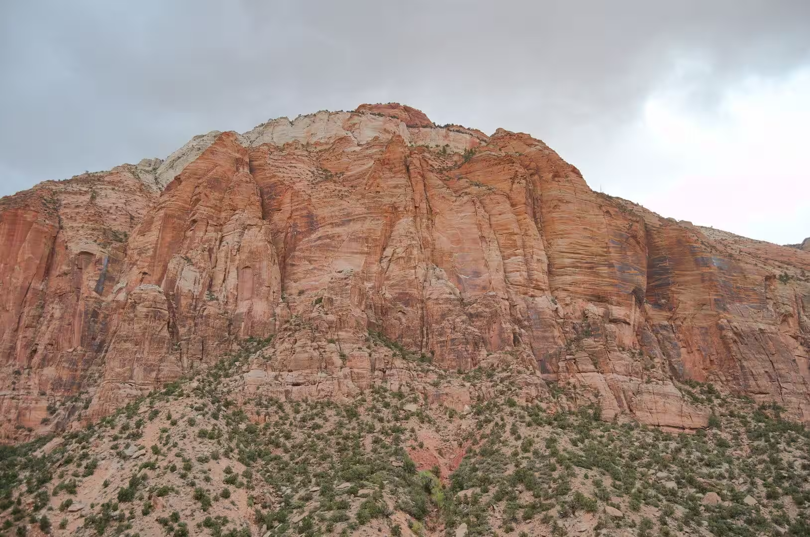
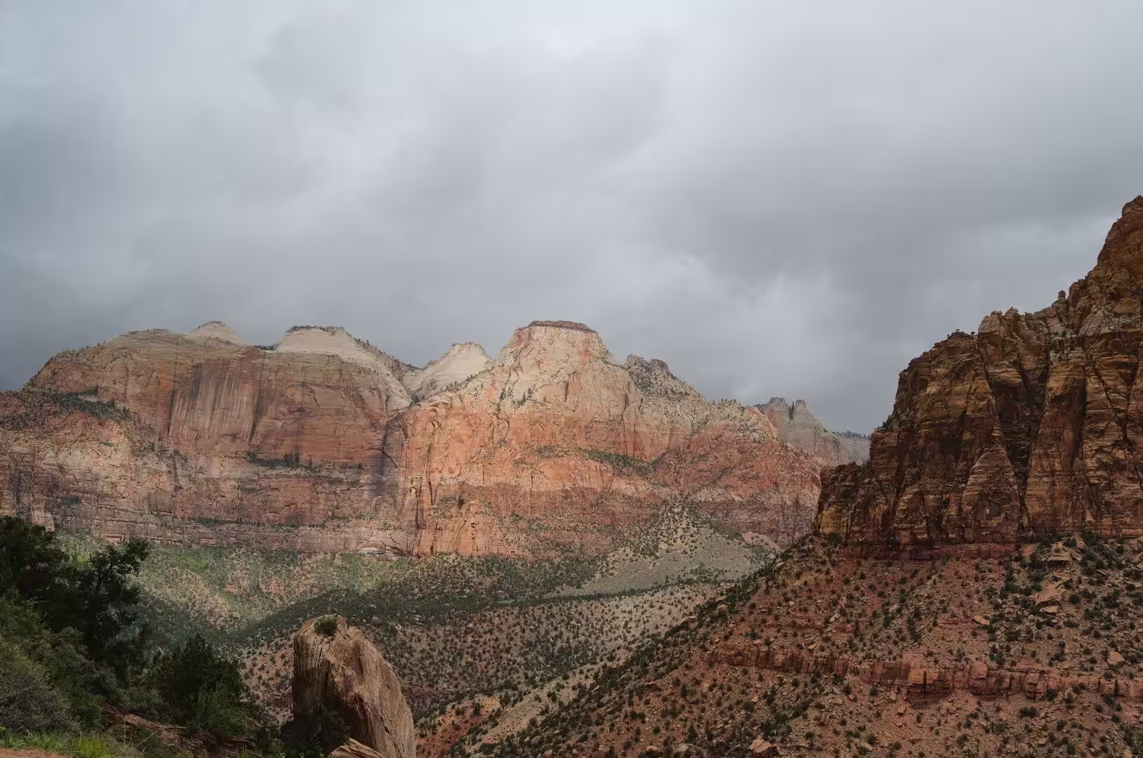
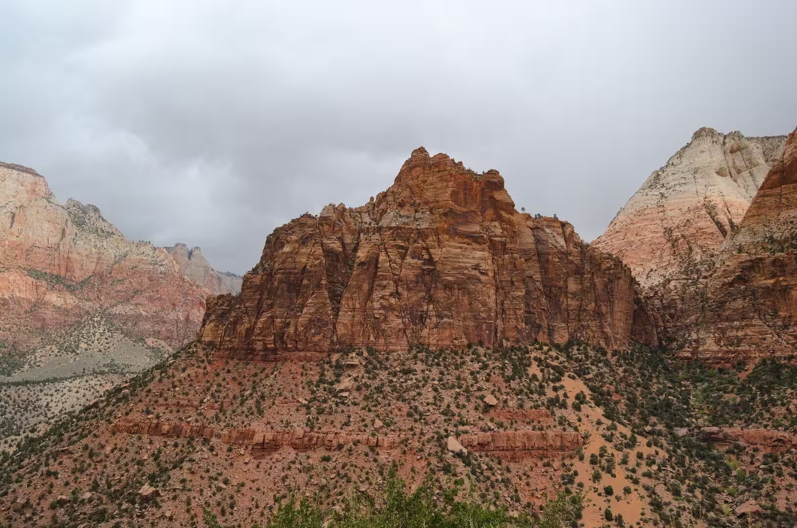
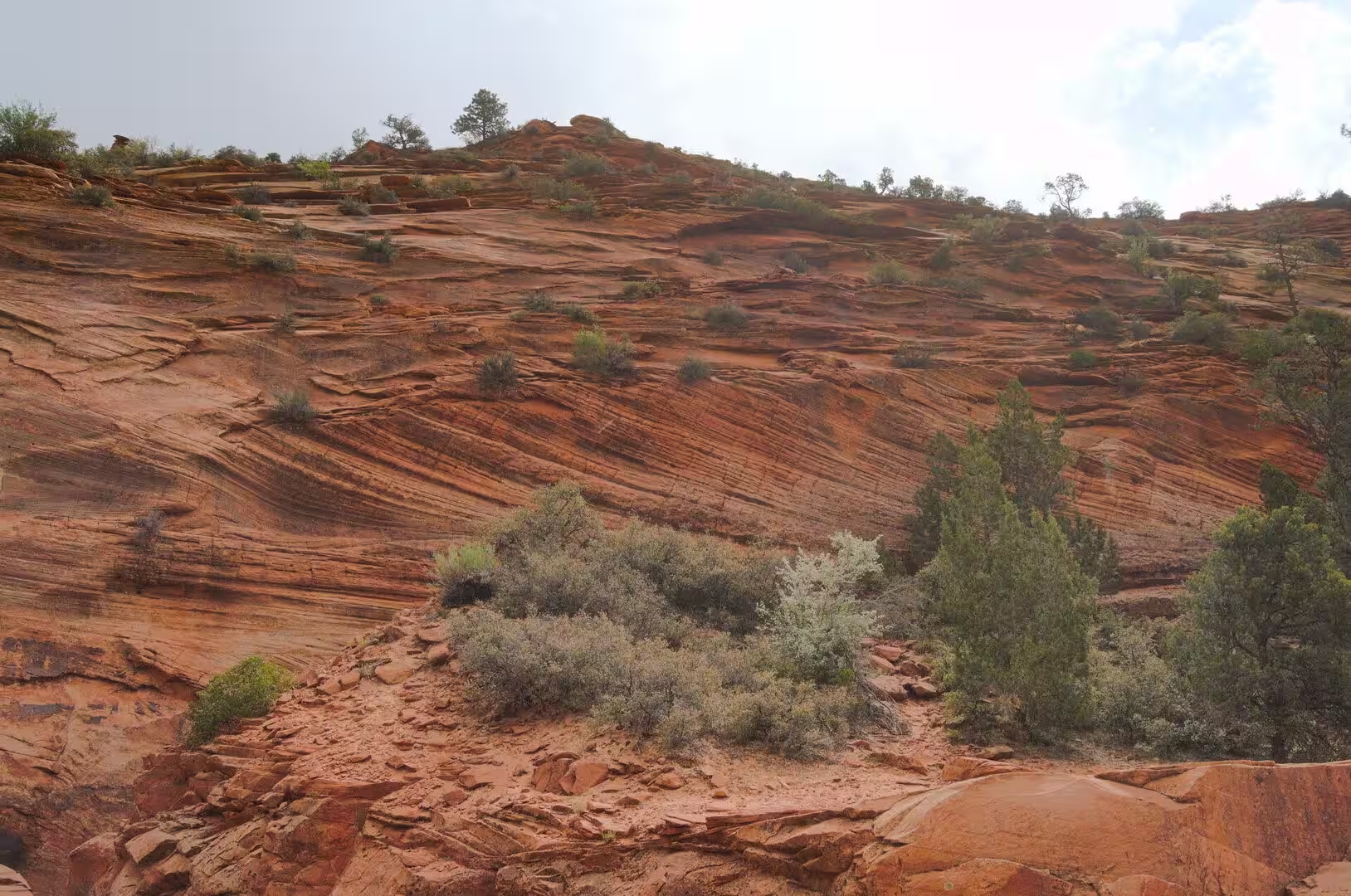
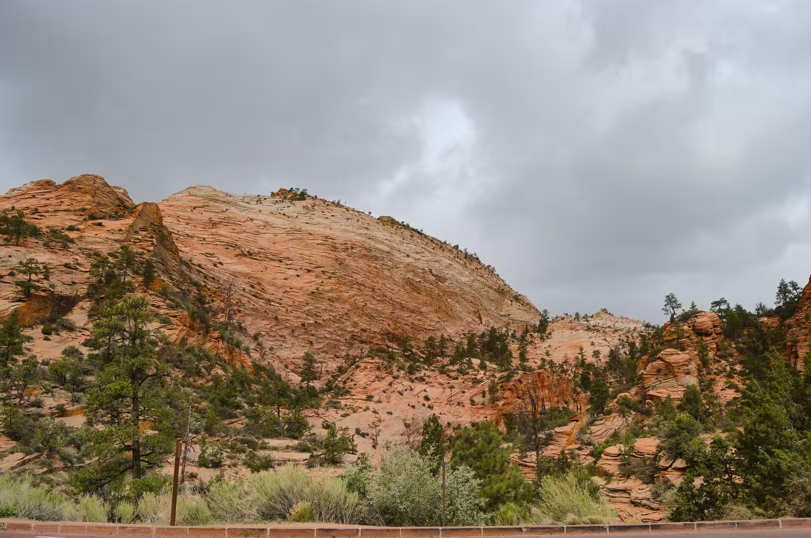
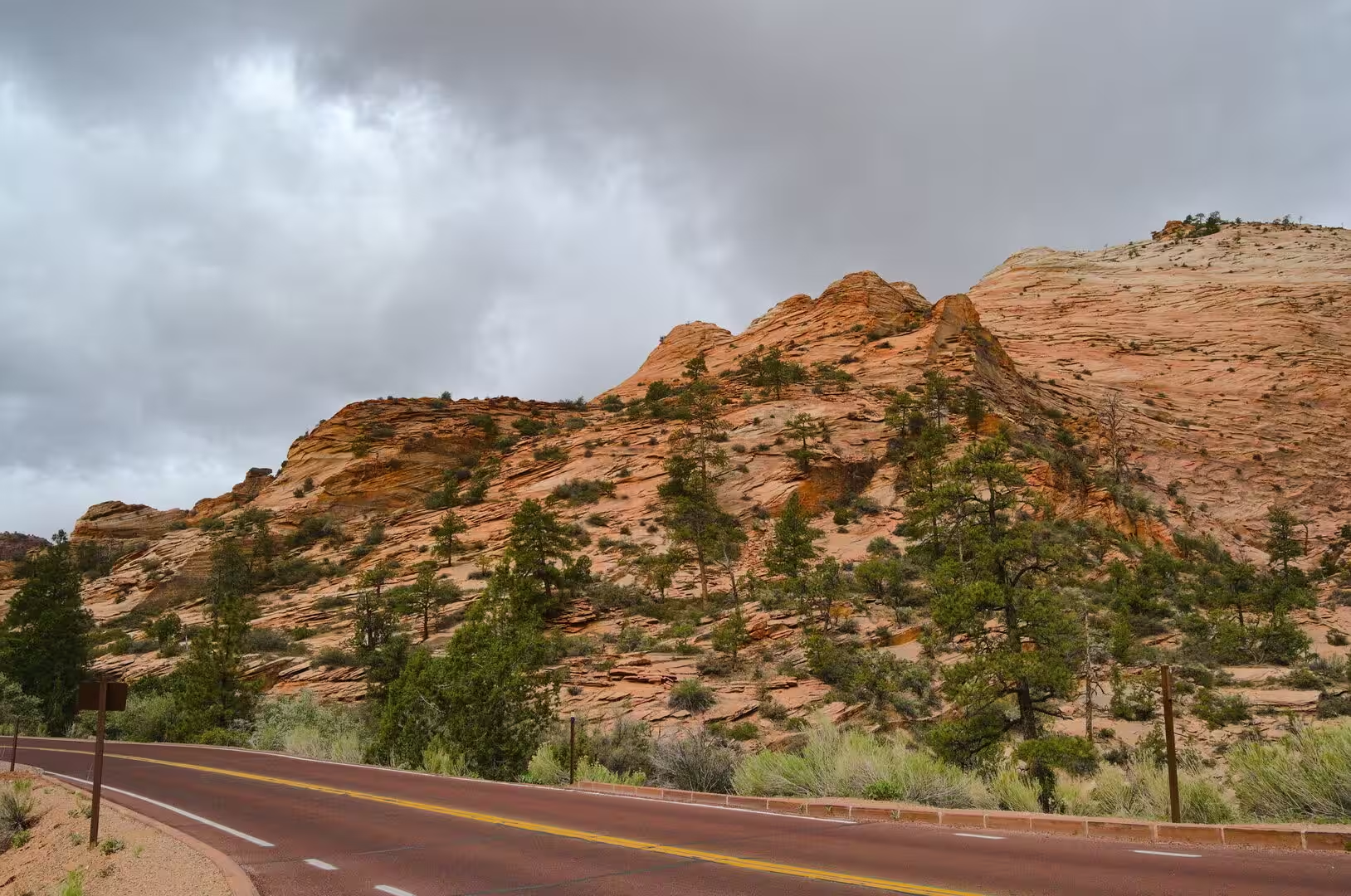
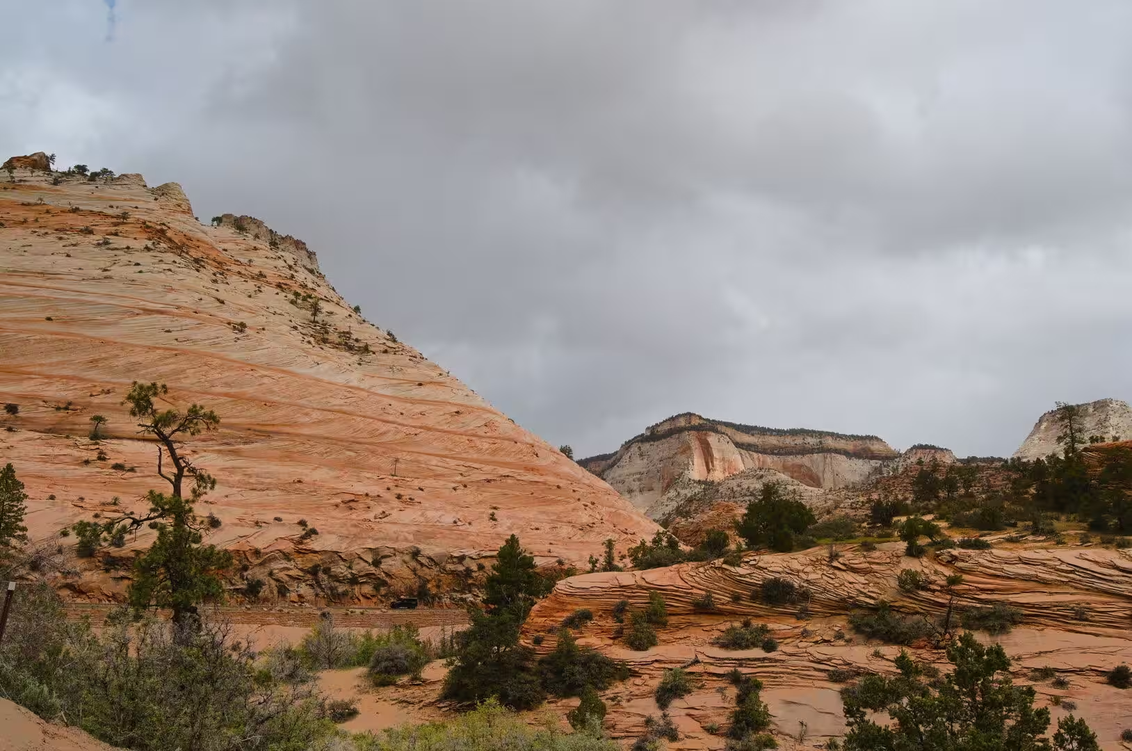
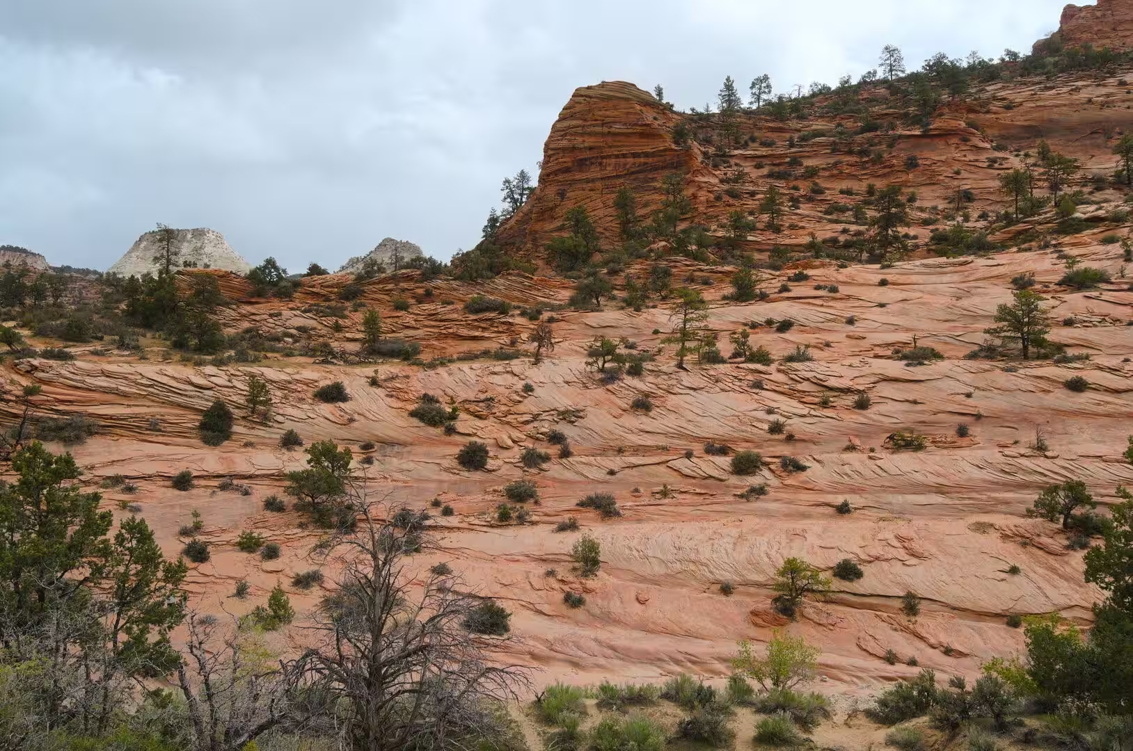
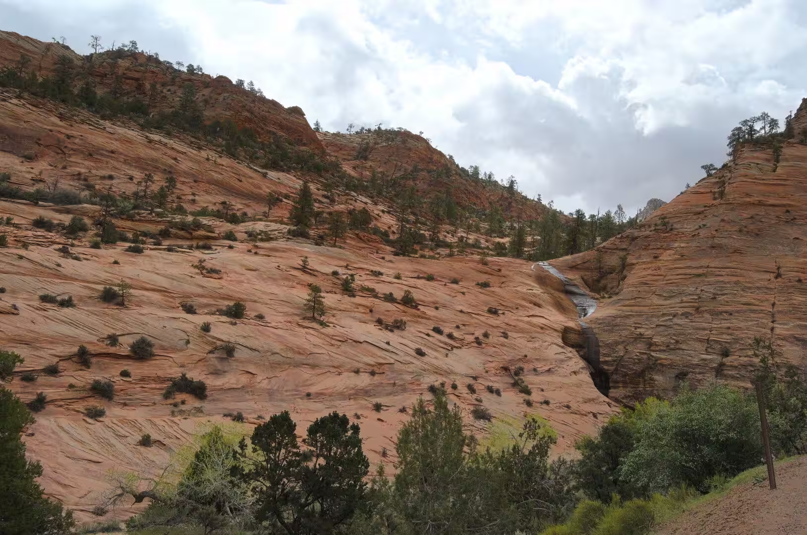
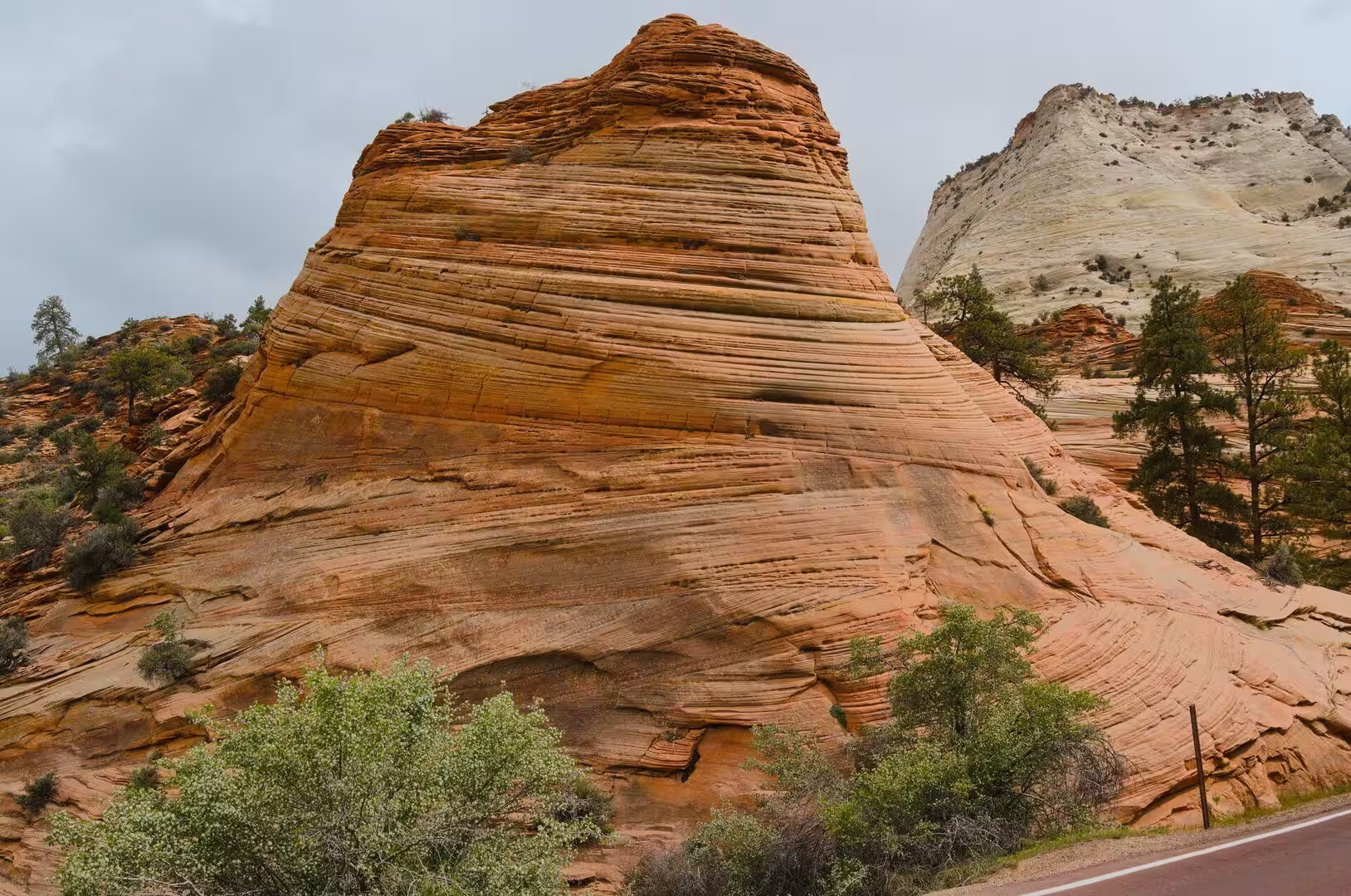
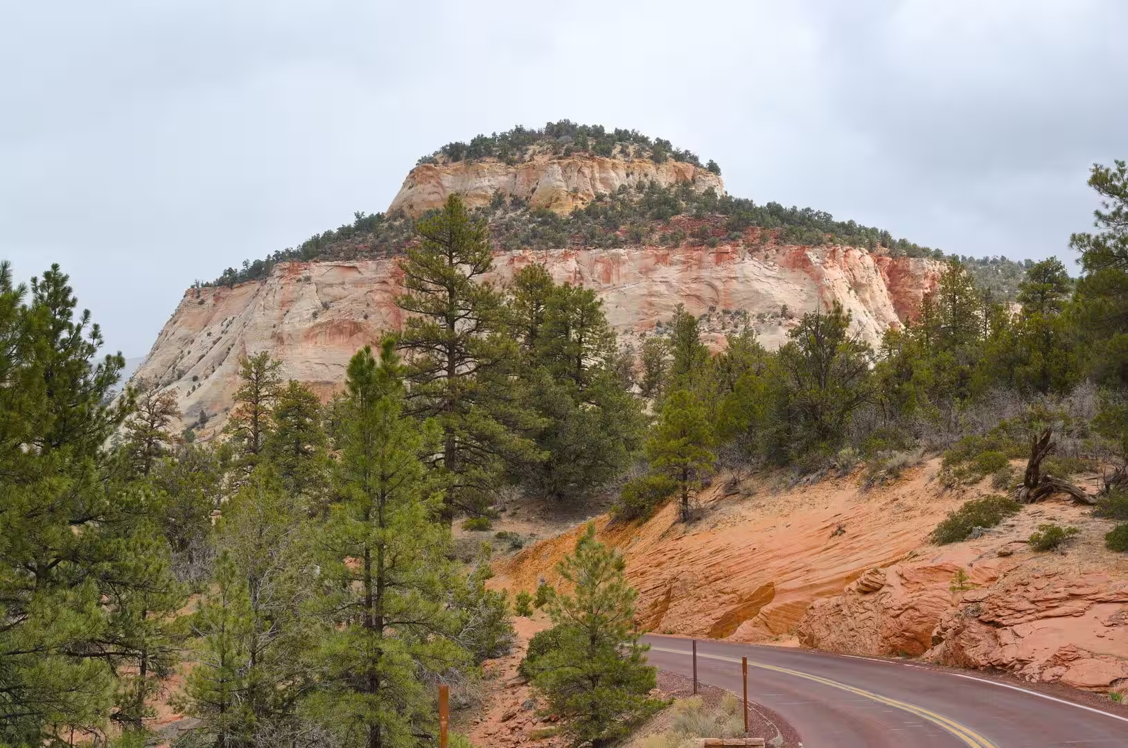
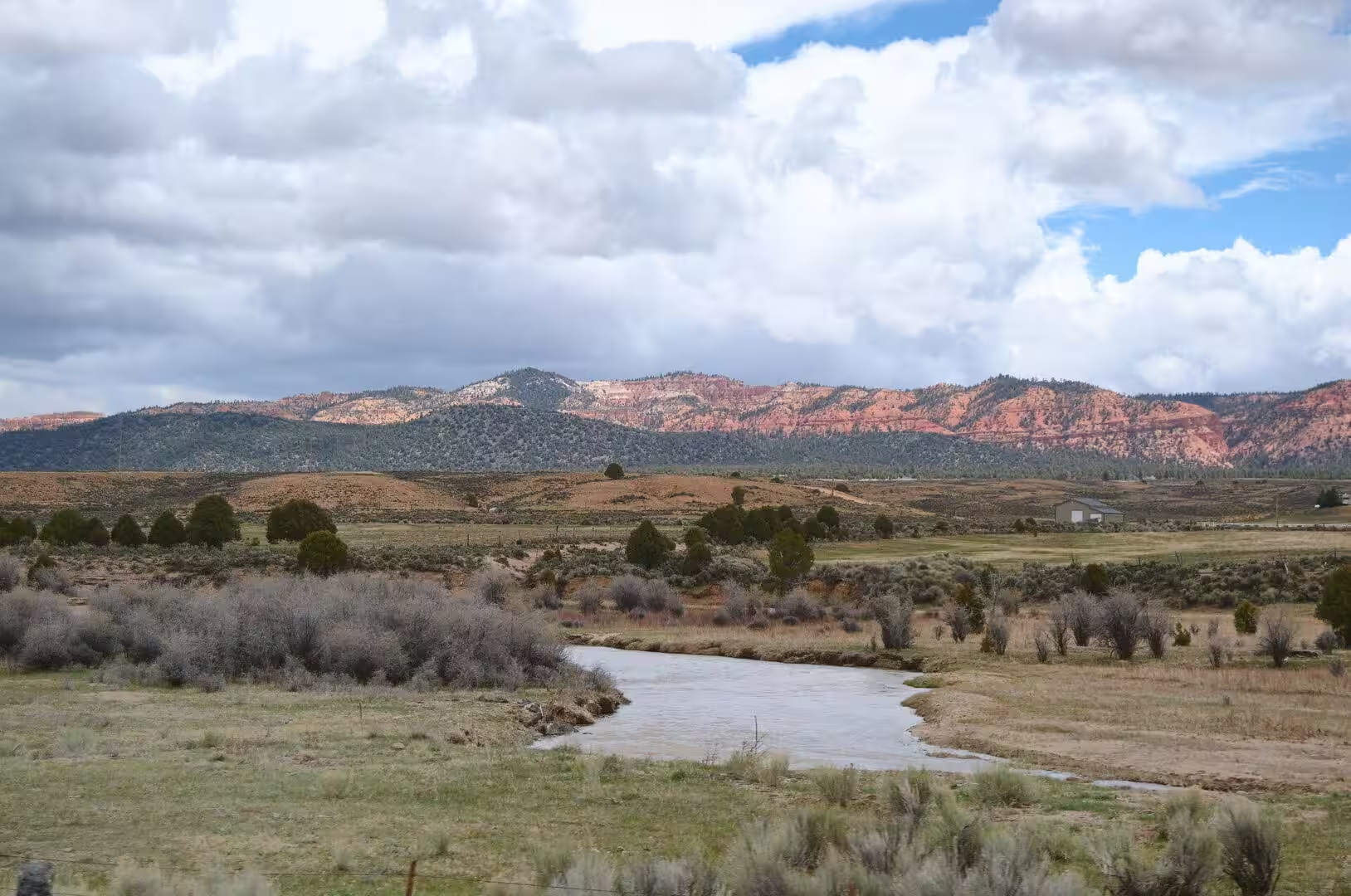
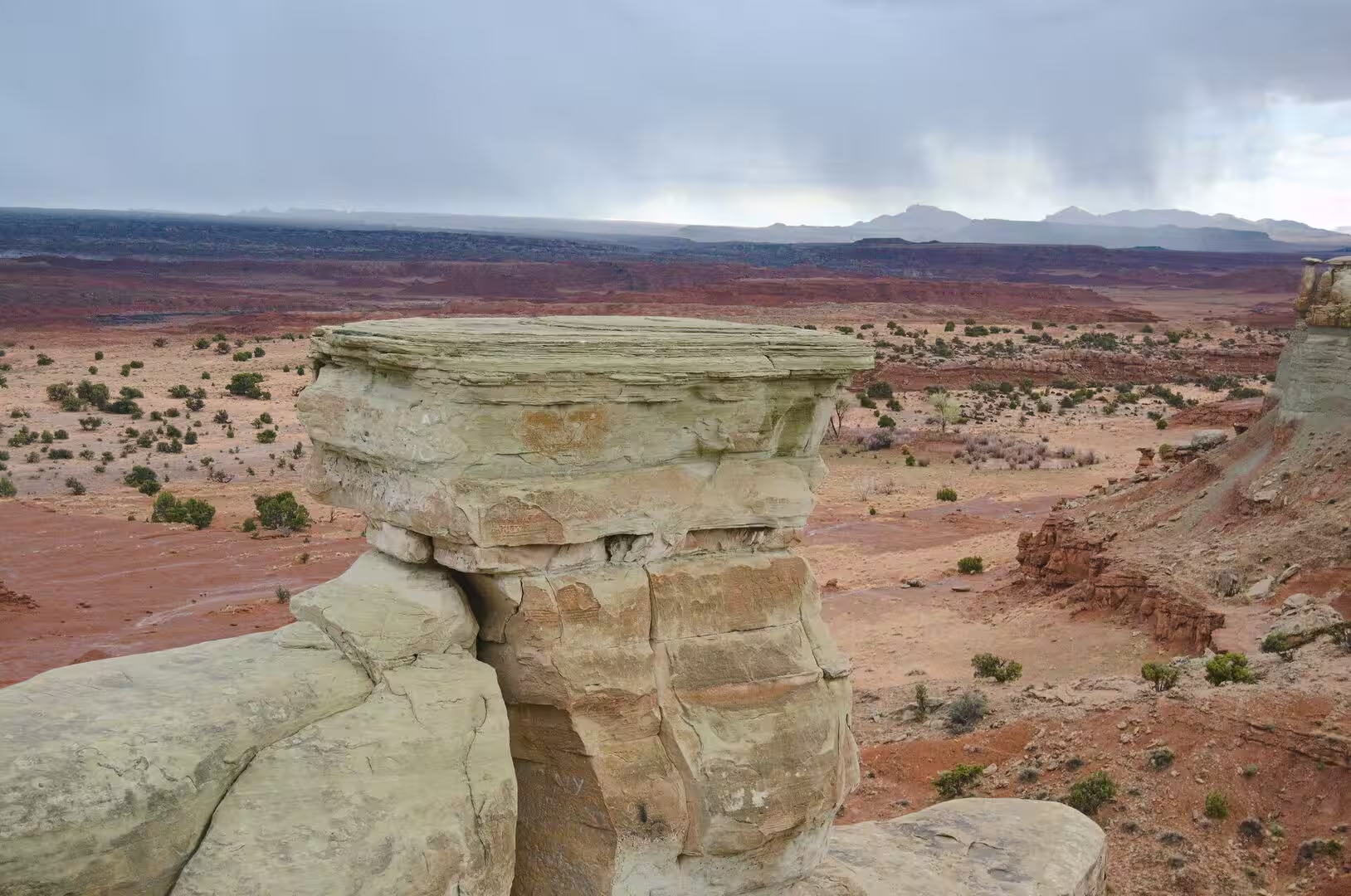
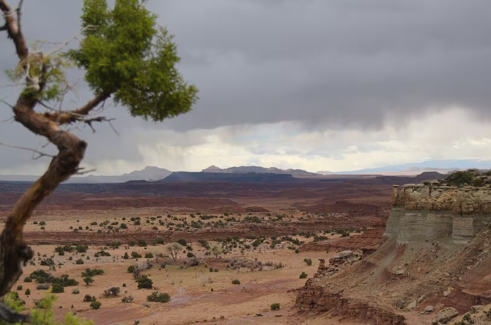
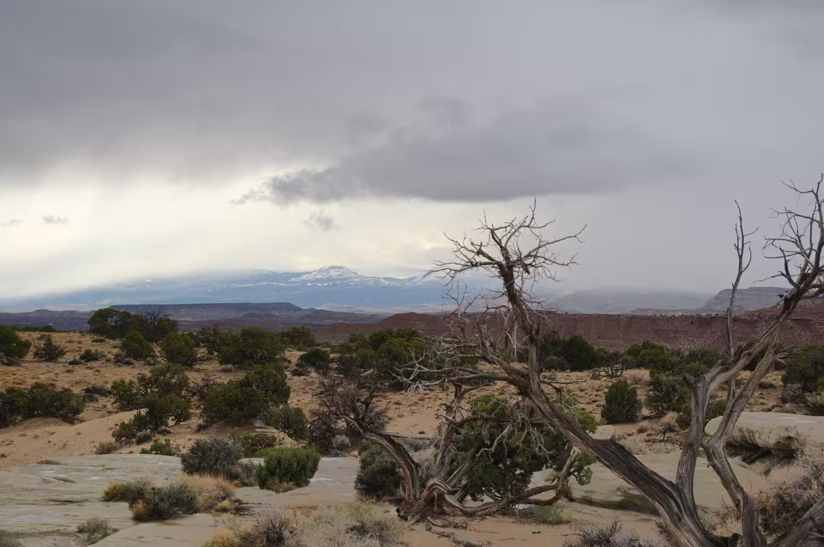
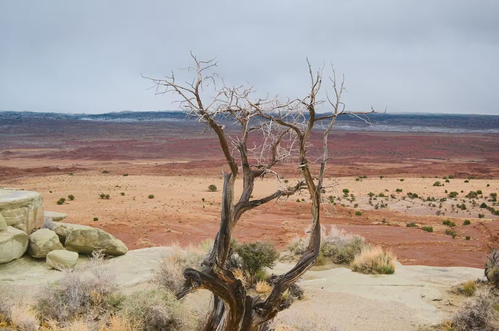
The plateau country itself is the chief sight of the region. It is a high desert of domes, hoodoos, fins, reefs, natural bridges and slot canyons, and the bare rock, stripped of soil by dryness and erosion, is the reason for the name red rock country. A view from the rim takes in hundreds of square miles of mesa, butte and canyon at once, with the Henry Mountains and the Aquarius Plateau on the skyline and the Pink Cliffs and the White Cliffs in the distance. Juniper and pinyon pine grow where the rock holds a little soil.
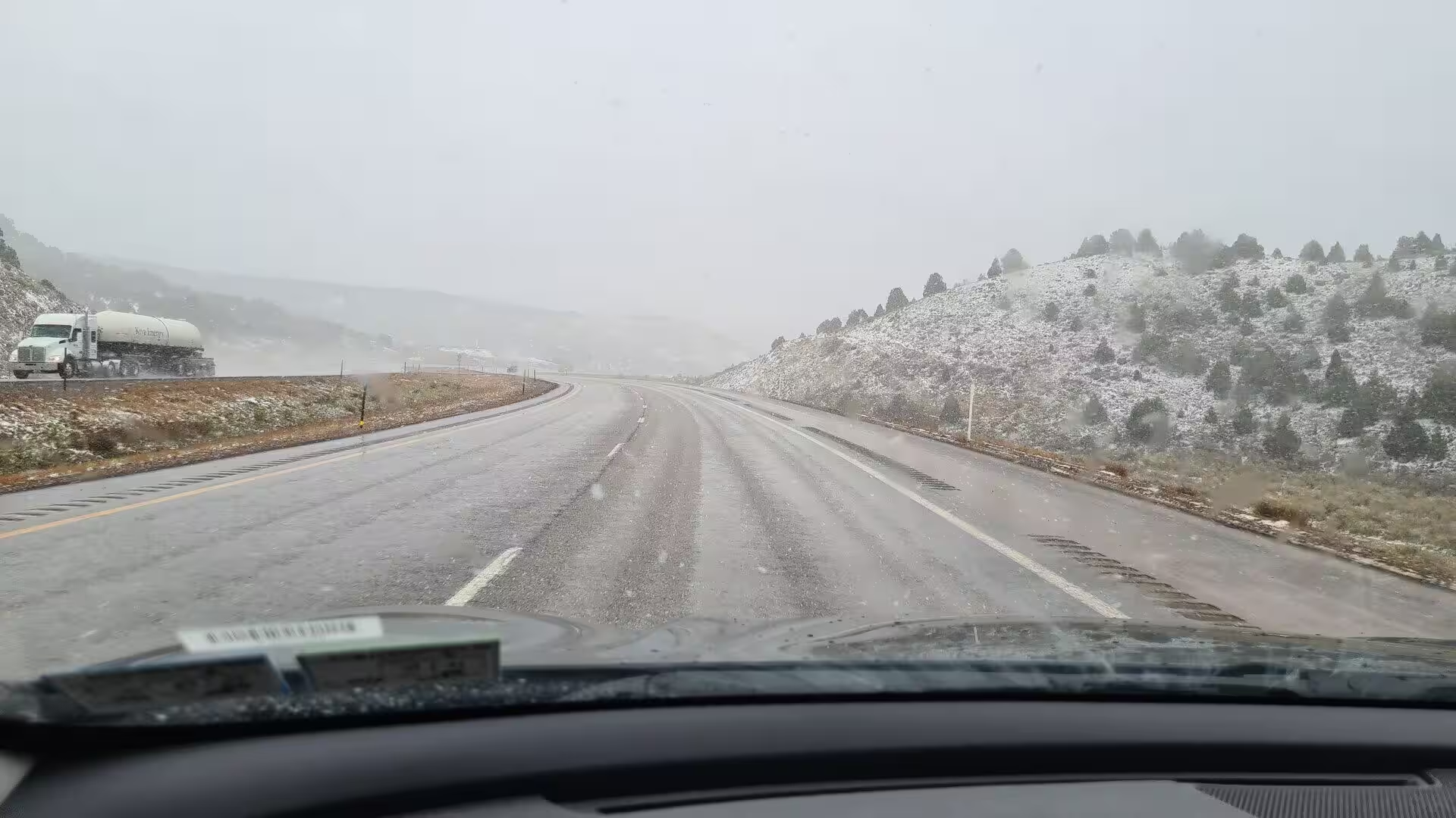
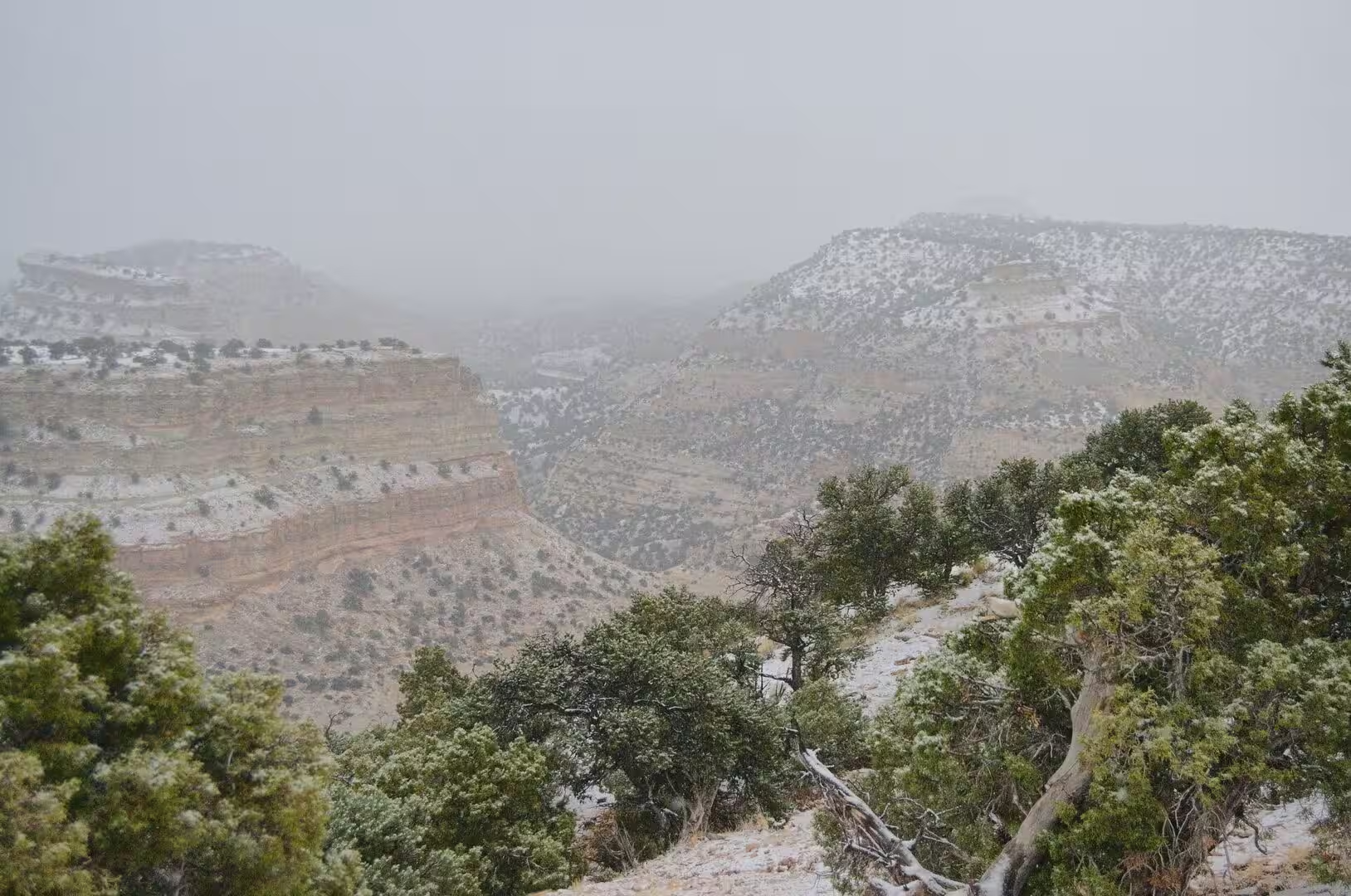
Weather gives this landscape much of its drama. The Wasatch Range receives more than 500 inches of snow in a single year in some places, and the same storms reach the high plateaus of the south, so that the rim country can lie under snow while the desert basins below are warm. Cedar Breaks National Monument, twenty-five miles west of Bryce on the Markagunt Plateau, is an amphitheatre of the same Claron Formation at a greater altitude and is buried for much of the winter. Sudden storms also bring flash floods, and those floods carry sand and gravel out of the canyons.
Grand Staircase-Escalante National Monument is the largest protected area of this part of Utah and the first national monument entrusted to the Bureau of Land Management. It was established in 1996 with 1.7 million acres, later enlarged to 1,880,461 acres, reduced by half by a presidential proclamation in 2017 and restored in 2021. The monument protects three units, the Grand Staircase, the Kaiparowits Plateau and the canyons of the Escalante River, and its land is among the most remote in the country and was the last to be mapped in the contiguous United States. Visitor centres stand at Cannonville, Big Water, Escalante and Kanab.
References
- Wikipedia contributors (2026). Utah. en.wikipedia.org/wiki/Utah
- Wikipedia contributors (2026). Colorado Plateau. en.wikipedia.org/wiki/Colorado_Plateau
- Wikipedia contributors (2026). Kanab, Utah. en.wikipedia.org/wiki/Kanab%2C_Utah
- Wikipedia contributors (2026). Bryce Canyon National Park. en.wikipedia.org/wiki/Bryce_Canyon_National_Park
- Wikipedia contributors (2026). Mormon pioneers. en.wikipedia.org/wiki/Mormon_pioneers
- Wikipedia contributors (2026). Great Salt Lake. en.wikipedia.org/wiki/Great_Salt_Lake
- Wikipedia contributors (2026). Wasatch Range. en.wikipedia.org/wiki/Wasatch_Range
- Wikipedia contributors (2026). Salt Lake City. en.wikipedia.org/wiki/Salt_Lake_City
- Wikipedia contributors (2026). U.S. Route 89. en.wikipedia.org/wiki/U.S._Route_89
- Wikipedia contributors (2026). Grand Staircase-Escalante National Monument. en.wikipedia.org/wiki/Grand_Staircase%E2%80%93Escalante_National_Monument
- Wikipedia contributors (2026). Navajo Nation. en.wikipedia.org/wiki/Navajo_Nation
- Wikipedia contributors (2026). Zion National Park. en.wikipedia.org/wiki/Zion_National_Park
- Wikipedia contributors (2026). Capitol Reef National Park. en.wikipedia.org/wiki/Capitol_Reef_National_Park
- Wikipedia contributors (2026). Utah State Route 12. en.wikipedia.org/wiki/Utah_State_Route_12
- Wikipedia contributors (2026). Wayne County, Utah. en.wikipedia.org/wiki/Wayne_County%2C_Utah
- Wikipedia contributors (2026). Sanpete County, Utah. en.wikipedia.org/wiki/Sanpete_County%2C_Utah
- Calvert I., Richards A.L., Ashcraft J. (2025) Examining “The Mormon Puzzle”: Progressive Education and Mormon Educational Ideas in Late Nineteenth-Century Utah. History of Education Quarterly. 65. 53-90. doi.org/10.1017/heq.2024.63
- Östman K.B. (2010) From Finland to Zion: Immigration to Utah in the Nineteenth Century. Journal of Mormon History. 36. 166-207. doi.org/10.2307/23291129
- Ford C., Bryant G., Nick K.E. (2016) Architectural evidence of dune collapse in the Navajo Sandstone, Zion National Park, Utah. Sedimentary Geology. 344. 222-236. doi.org/10.1016/j.sedgeo.2016.04.009