Day 15 - From Algeciras to the Valencian Interior: A Long Drive Across Southern and Eastern Spain
21 June 2026




Journal Notes
A long road journey from Algeciras to the Valencian interior after returning from Morocco across the Strait of Gibraltar. The route follows the Costa del Sol toward Málaga, turns inland through Andalusia, crosses the high landscapes around Granada, Guadix and Baza, descends into the Murcia region, and finally continues north toward the inland hills of Valencia. With almost 700 kilometers of driving, this track captures a major transition from the Spain-Morocco ferry gateway to eastern Spain.
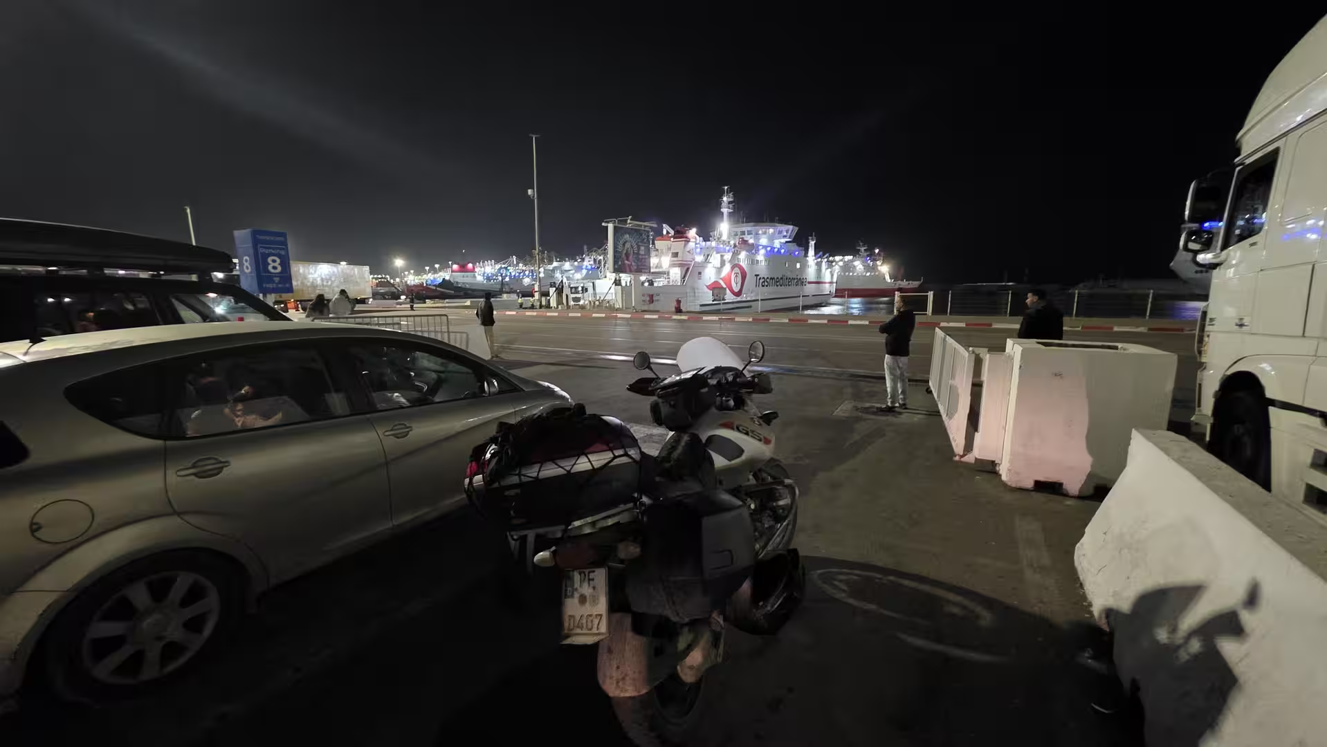
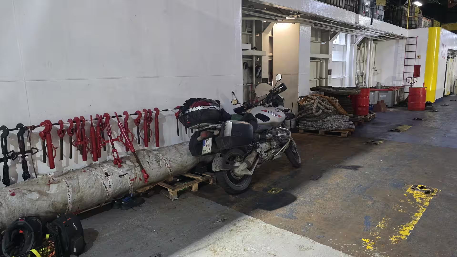
The journey began in Algeciras, on the Spanish side of the Strait of Gibraltar. After the previous stage had ended near Tangier Med on Morocco’s northern coast, this track marked the return to Europe and the start of a long drive across southern Spain. The day began near the port area of Algeciras and continued northeast through Andalusia, past the Costa del Sol, into the inland mountain and plateau landscapes around Granada and Baza, across the Murcia region, and finally into the Valencian interior.
This was a very different travel day from the Moroccan stages before it. The previous routes had crossed the Middle Atlas, the Rif Mountains, the Atlantic Sahara, the Anti-Atlas and long remote roads through southern Morocco. This stage returned to Spain, but it did not lose the feeling of a major overland journey. The route covered almost 700 kilometers and crossed several distinct Spanish landscapes in a single day: the Strait of Gibraltar, the Mediterranean coast near Málaga, the inland highlands of eastern Andalusia, the dry southeast around Murcia, and the hill country of the Valencian interior.
The first recorded movement started in the morning near Algeciras. The surroundings were shaped by the port, the bay, industrial areas, ferries, roads and the dense infrastructure of one of Europe’s main gateways to North Africa. After days of remote Moroccan roads, the contrast was immediate. The landscape was still southern and Mediterranean, but the rhythm of travel had changed. The route now followed Spain’s road network, with faster roads, larger settlements and more continuous infrastructure.
Leaving Algeciras, the road first moved northeast along the southern Spanish coast. The first part of the drive was still close to the Strait and the western Mediterranean. The route passed the wider Campo de Gibraltar area and continued toward the Costa del Sol. This section carried a strong sense of transition: behind lay Morocco and the ferry crossing, ahead lay the long road across Spain.
The early coastal section was relatively low in elevation. The road moved through a landscape of hills, coastal towns, infrastructure and Mediterranean light. It was not a remote road in the same way as the Moroccan Atlantic Sahara stages, but it had its own travel atmosphere. The route followed one of southern Spain’s major eastbound corridors, gradually leaving the Strait behind and entering the more developed coastal world between Marbella and Málaga.
After roughly 120 kilometers, there was a long stop in the Málaga area. This pause lasted more than an hour and became the first major break of the day. It also divided the route naturally into two chapters. The first chapter was the departure from the Strait of Gibraltar and the drive along the western Costa del Sol. The second chapter would lead away from the coast and into the inland routes of Andalusia.
The Málaga region marked an important change in direction. After the stop, the route did not simply continue along the Mediterranean coast. Instead, it turned inland and climbed into the Andalusian interior. The road left the dense coastal corridor behind and moved toward the higher landscapes around Antequera, Granada and the eastern Andalusian plateaus. The atmosphere changed quickly. The sea disappeared from the route, and the landscape became drier, wider and more mountainous.
The climb inland was one of the defining transitions of the day. The road rose from coastal elevations toward several hundred meters above sea level. Around the Antequera and Loja region, the scenery became more open and more typically Andalusian: hills, agricultural land, pale soils, distant mountains and large inland views. The route no longer felt like a coastal drive. It became a crossing of southern Spain’s interior.
A shorter stop occurred in this inland section, after about 200 kilometers of travel. By that point, the route had already left the Costa del Sol behind and was moving through higher country. This pause gave the journey a new rhythm after the long coastal stop. The road now continued eastward toward Granada and the mountains beyond.
The area around Granada formed another major stage in the route. Even without focusing on the city itself, the surrounding landscape strongly shaped the drive. The road passed through one of Spain’s most impressive inland corridors, with the Sierra Nevada region nearby and broad valleys opening around the route. Elevations increased again, and the road began to feel like a high inland crossing rather than a simple motorway transfer.
East of Granada, the journey entered the highlands around Guadix and Baza. This section was one of the most visually distinctive parts of the day. The landscape became drier, higher and more spacious. The GPS track reached elevations well above 1,000 meters, with the highest point of the day at around 1,361 meters. This made the middle part of the route a true highland crossing through eastern Andalusia.
The Guadix and Baza region has a very different atmosphere from the Costa del Sol. The land is more open, the colors are drier, and the road passes through broad upland basins, ridges and semi-arid landscapes. The terrain can feel almost austere, but it is also one of the most characteristic landscapes of southeastern Spain. After the dense coastal corridor and the urban surroundings of Málaga, this section felt spacious and remote by European standards.
A short stop occurred in the Baza region, roughly in the middle of the afternoon. It came after the route had climbed into the highlands and crossed a long section of eastern Andalusia. This pause was not long, but it marked another clear stage: the route had moved from the coast into the high interior and was now preparing to descend toward the southeast and the Murcia region.
After Baza, the road continued east and southeast. The elevation gradually decreased, although the landscape remained dry and open. The route crossed the transition from Andalusia into the southeastern Spanish interior. This part of the drive had a strong semi-arid character: long roads, wide valleys, low mountains, dry slopes and settlements separated by larger spaces than along the coast.
The road eventually approached the Lorca and Murcia corridor. This was another major shift in the day. The route descended from the highlands into lower, warmer country. The landscape became more typically southeastern Spanish: dry hills, agricultural valleys, motorway sections and a stronger sense of proximity to the Mediterranean, even though the route did not necessarily follow the coastline directly.
A pair of short stops occurred in the Murcia region, after around 485 kilometers of travel. They were close together and effectively formed one longer pause. This was a natural moment for a break after the long descent from the Andalusian highlands. The route had already crossed several geographic zones, and the final part of the day still lay ahead.
From the Murcia region, the journey continued north and northeast. The road no longer followed the southern coast or the high Andalusian interior. It now entered the inland routes toward the Valencian region. The landscape became a mixture of dry plains, low mountains, agricultural areas and towns. The elevation rose and fell gently, with the road gradually leading toward the higher inland areas near the end of the route.
This final third of the journey felt less dramatic than the Guadix and Baza highlands, but it was still clearly a continuation of Spain’s dry eastern interior. The road passed through landscapes shaped by agriculture, limestone hills, semi-arid valleys and wide skies. Compared with the Moroccan stages, this part felt more developed and structured, but the sense of a long overland route remained.
Another stop appeared in the early evening, after more than 630 kilometers of travel. This break occurred in the inland southeast, before the final approach toward the Valencian interior. By this point, the journey had already crossed from the Strait of Gibraltar through Andalusia and Murcia. The remaining section led into a different regional landscape: hillier, slightly greener in places, and more connected with the inland valleys of Valencia.
The final kilometers led north toward the area around Ontinyent and the southern Valencian interior. The road climbed again to around 480 meters by the end of the track. This gave the arrival a different character from the low coastal start in Algeciras. The day had begun near sea level at the Strait of Gibraltar and ended inland, in a hill and valley landscape far to the northeast.
The GPS track ended in the early evening after approximately 697 kilometers and about nine and a half hours from start to finish. The moving time was a little over seven hours, while stops accounted for more than two hours. The route reached a maximum elevation of around 1,361 meters and crossed a wide range of southern and eastern Spanish landscapes.
What made this route memorable was the long geographic progression. It began at the edge of Europe and Africa, near the port of Algeciras. It followed the Mediterranean-influenced Costa del Sol toward Málaga, turned inland into Andalusia, climbed through the Granada and Baza highlands, descended into the dry Murcia region, and finally continued into the Valencian interior.
This was not a route of one single scenic highlight. Its strength lay in the sequence of transitions. The morning belonged to the Strait of Gibraltar and the Costa del Sol. The middle of the day belonged to the inland highlands of Andalusia. The afternoon crossed the semi-arid southeast around Murcia. The evening brought the route into the hill country of the Valencian region.
Seen in the context of the larger journey, this track marked the return from Morocco into Spain and the continuation north through Europe. After many days of Moroccan roads, the route felt more structured, faster and more infrastructural. Yet it remained a true road journey. The distances were long, the landscape changed repeatedly, and the day connected regions that feel very different from one another.
For travelers, this route is demanding mainly because of its length. The roads are generally faster than many of the Moroccan mountain and desert routes, but almost 700 kilometers still make it a full travel day. The long stop near Málaga, the short pauses in the Andalusian highlands and Murcia, and the final break before the Valencian interior gave the day its rhythm.
The strongest memory of the journey is the contrast between the start and the end. Algeciras felt maritime, international and connected to the ferry route from Morocco. The final destination in the Valencian interior felt inland, elevated and far removed from the Strait. Between them lay the southern Spanish coast, the mountains around Granada, the dry plateau landscapes of Baza, and the semi-arid southeast.
By the end of the day, the road had carried the journey from the western Mediterranean gateway of Algeciras to the inland valleys of eastern Spain. It was a long, varied and practical travel stage, but also a strong geographic crossing: from the Strait of Gibraltar to the Valencian interior, from ferry-port infrastructure to dry uplands and eastern Spanish hill country.