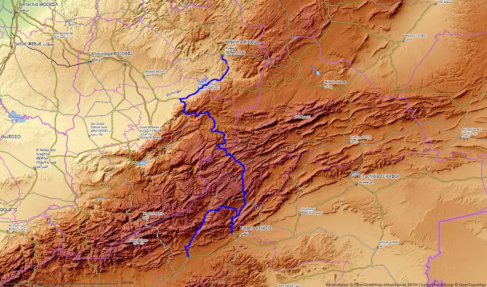
A long northbound road journey from Khénifra in the Middle Atlas to the Tangier Med area on Morocco’s northern coast. The route crosses central Morocco, descends toward the Meknes region, passes through the Ouazzane and Chefchaouen areas, continues through the Rif Mountains toward Tétouan, and finally reaches the Mediterranean coast near Tangier Med. With around 445 kilometers of driving, this track connects Morocco’s central highlands with its northern port gateway.
The journey began in Khénifra, in Morocco’s Middle Atlas region. After the long southern and mountain stages of the previous days, this route marked another major transition. The road no longer led deeper into the desert, the Atlantic Sahara, or the high valleys of the Anti-Atlas. Instead, it turned north, crossing central Morocco toward the Rif Mountains and the Mediterranean coast before ending near Tangier Med.
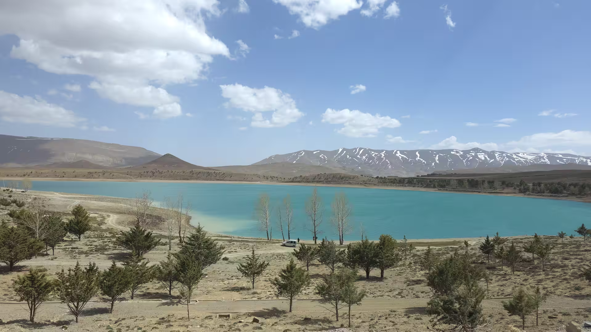
The track started in the morning in the Khénifra area, at an elevation of around 870 meters. The first recorded hour remained almost stationary, suggesting a slow start, preparation, or waiting time before the actual drive began. Once the journey got underway, the route moved north through the Middle Atlas landscape. This first part of the day had a different atmosphere from the previous routes across southern Morocco. The scenery was still elevated and inland, but it was less desert-like and more connected with the wooded, agricultural and mountain-influenced landscapes of central Morocco.
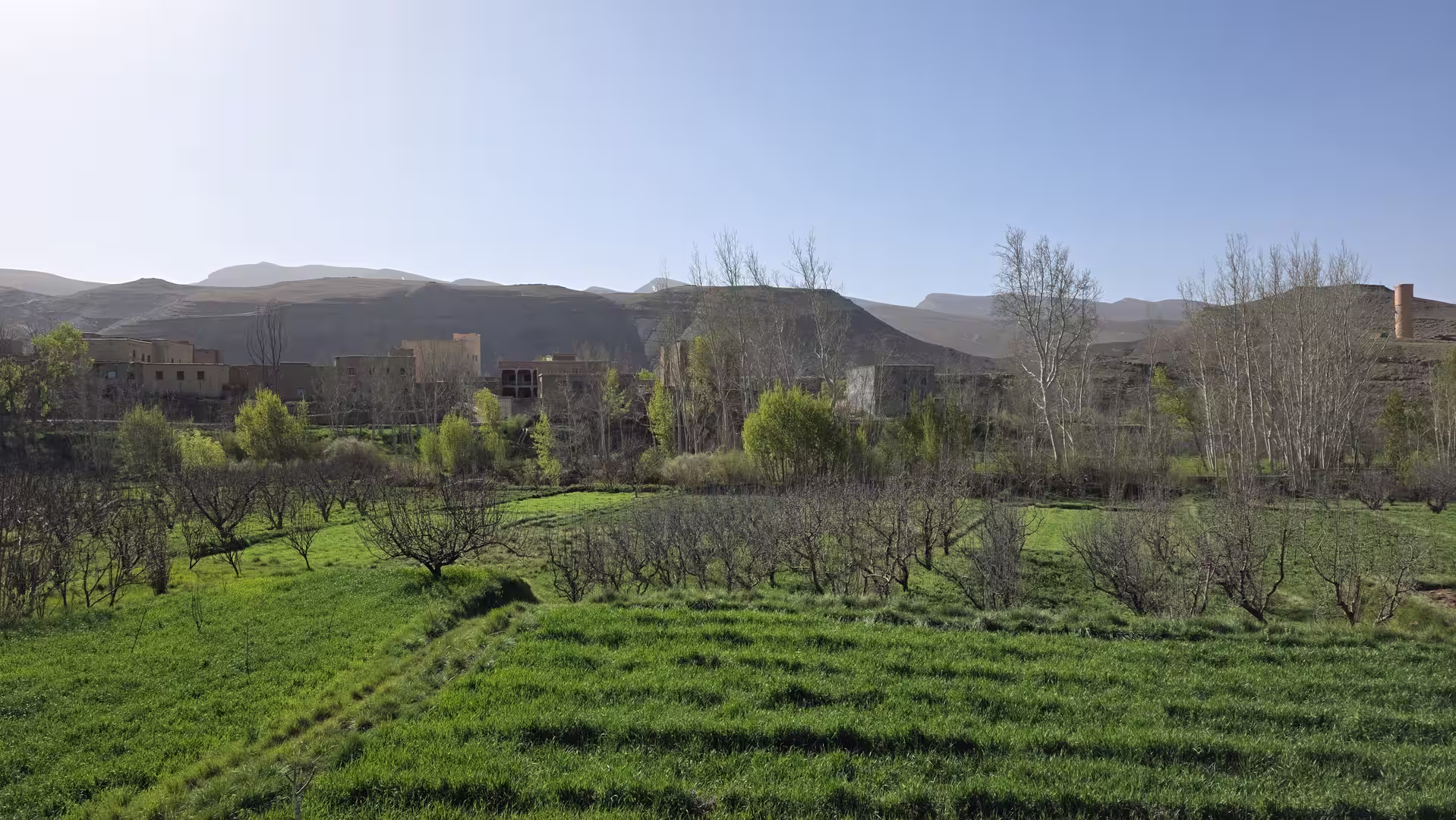
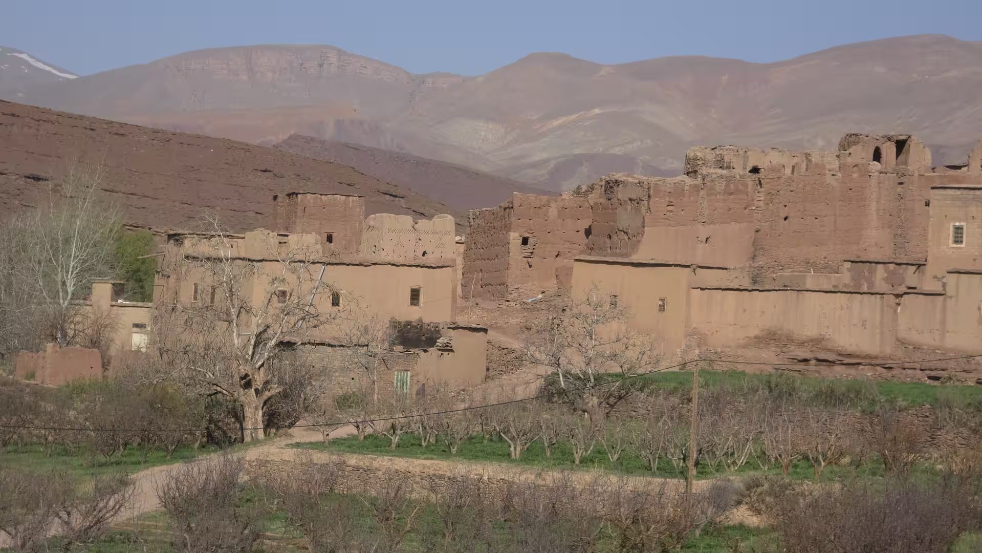
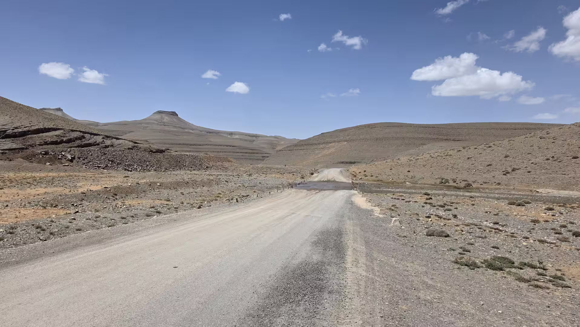
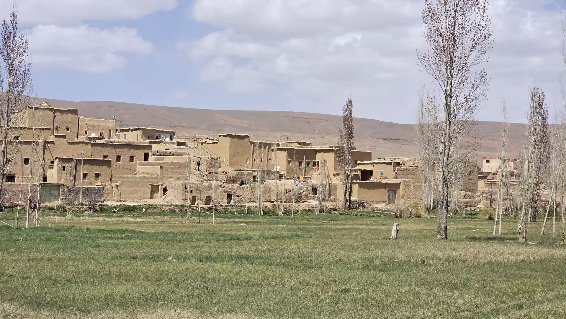
Leaving Khénifra, the road climbed and crossed the northern part of the Middle Atlas region. The terrain was not extremely high compared with the previous Anti-Atlas stage, but it still carried the character of upland Morocco. The route passed through rolling highland country, areas of cultivation, dry slopes, scattered settlements and stretches of open road. Compared with the desert plains and Atlantic coastal roads, this part of the journey felt more enclosed and more varied.

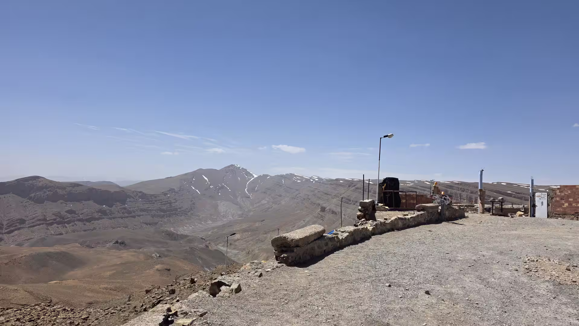
The early section gradually rose toward the highest parts of the day. The track reached elevations above 1,100 meters, with the maximum height around 1,166 meters. This was not a dramatic mountain pass, but it showed that the journey was still taking place across elevated interior country. The road moved through a landscape shaped by the Middle Atlas: broader than the Anti-Atlas valleys around Tafraoute, greener and more inhabited than the Atlantic Sahara, but still distinctly mountainous in character.
As the route continued north, it passed through the wider Azrou and Ifrane corridor. This region is one of the most recognizable parts of the Middle Atlas, with a cooler mountain atmosphere, higher terrain and a very different visual identity from southern Morocco. The road here felt like a return from desert and semi-desert landscapes into a more temperate and settled mountain zone. The scenery became more structured, with towns, forests, upland fields and regular road connections.


A short stop appeared in the mid-morning, after roughly ninety kilometers of travel. By this point, the route had already left Khénifra behind and crossed a substantial part of the Middle Atlas road corridor. The pause was brief, but it helped divide the first stage of the day: the departure from Khénifra, the climb across central highland terrain, and the movement toward the more connected northern routes.
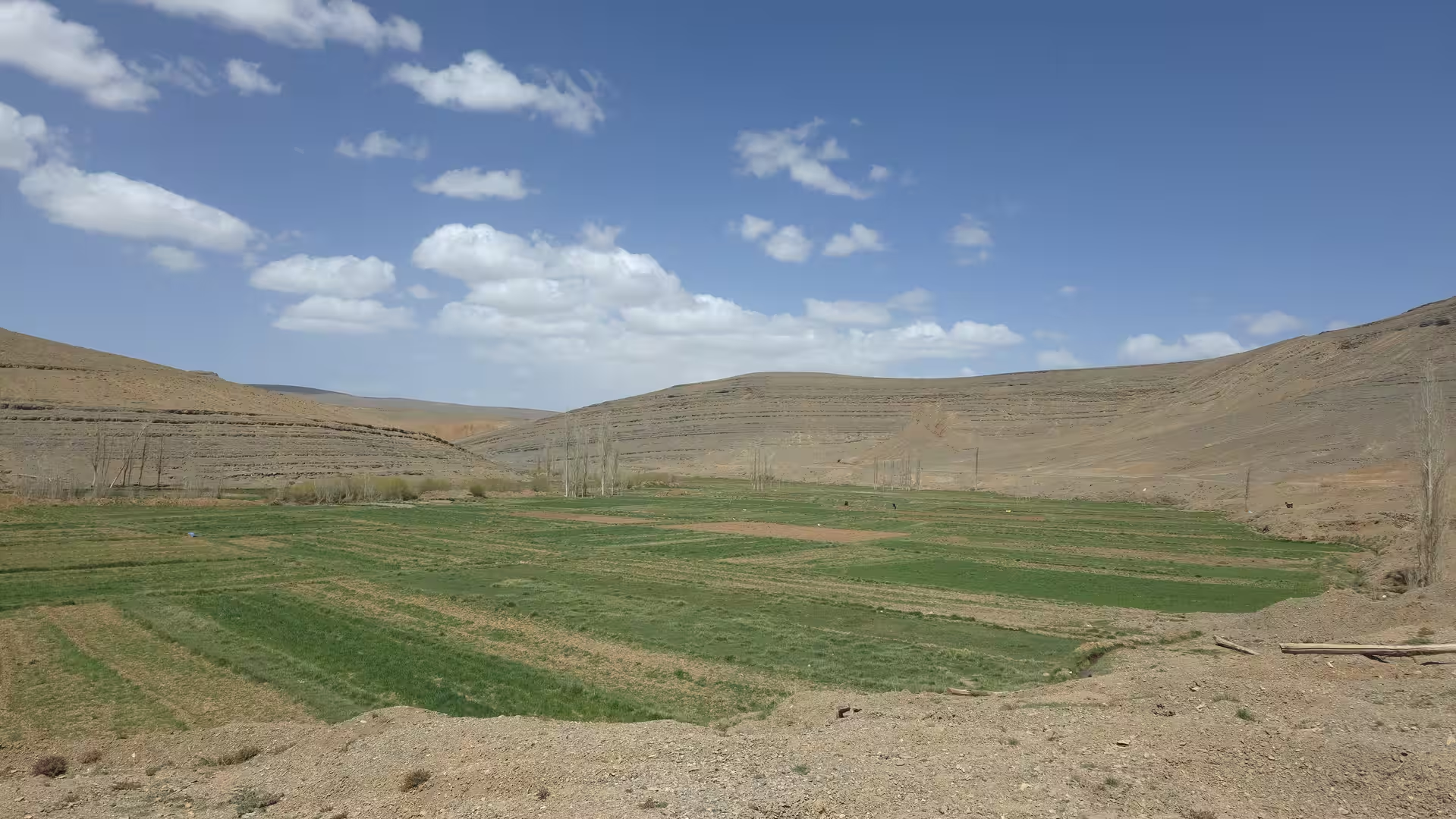
After this stop, the road continued toward the Meknes region. The landscape gradually changed again. The higher uplands began to give way to lower terrain. The elevation dropped from around 1,000 meters toward a few hundred meters as the route moved north and west of the Middle Atlas. This descent was one of the important transitions of the day. It marked the movement from mountain-influenced central Morocco into the more open agricultural and urbanized regions around the northern plains.

The approach toward Meknes brought the journey closer to one of Morocco’s major inland cities. Even if the route did not focus on the city itself, the surrounding region changed the rhythm of travel. Roads became busier, settlement patterns denser, and the landscape more cultivated. After the remote mountain and desert roads of earlier days, this part of Morocco felt more populated and connected.
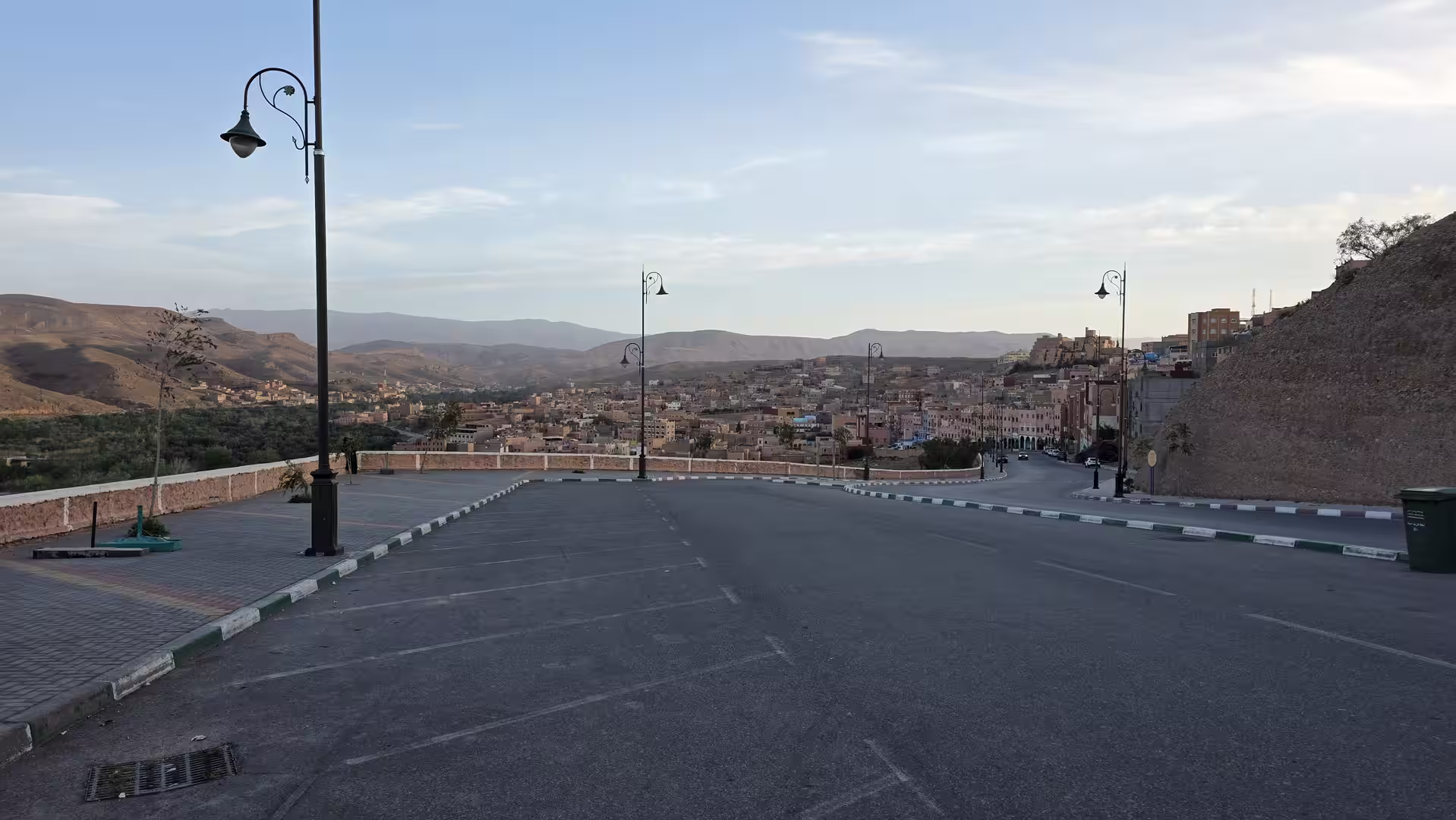
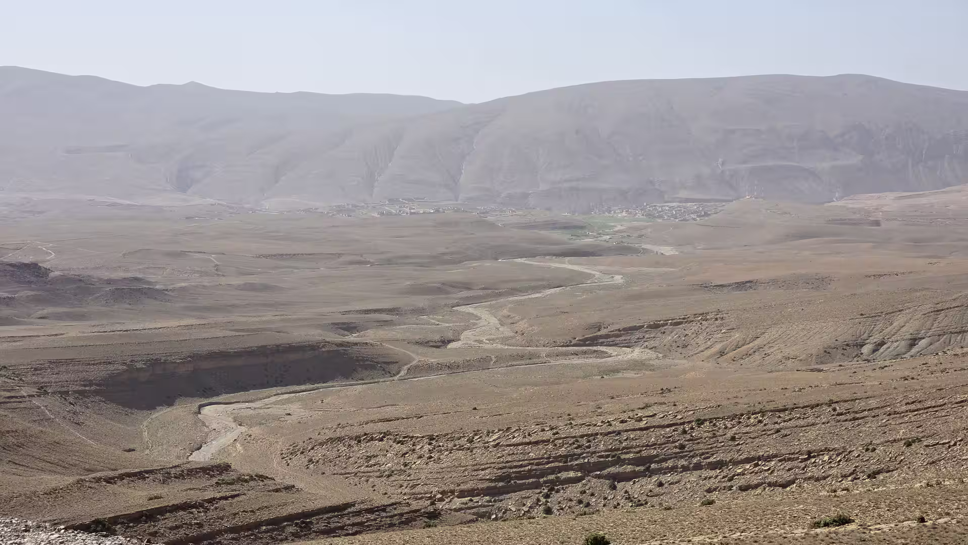
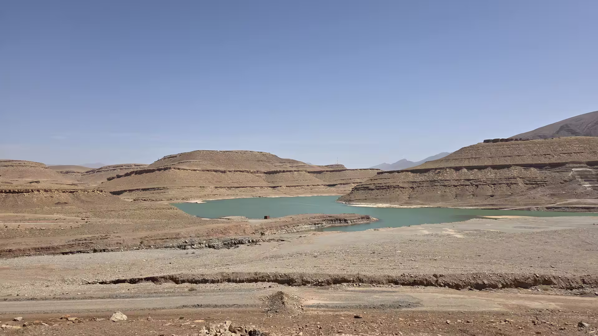
North of the Meknes region, the route continued toward the lowlands and then toward the foothills leading to the Rif. The track showed a longer stop around the late morning, after approximately 180 kilometers. This pause came at a low elevation, around 85 meters, and marked another strong change in the route. The journey had descended from the Middle Atlas highlands into much lower country. The landscape was now no longer defined by the altitude of central Morocco, but by agricultural plains, towns and the approach to the northwestern hills.
After the break, the road continued north. This middle part of the day crossed one of Morocco’s important transition zones: the movement from central inland Morocco toward the Rif and the northern coastal provinces. The scenery became more rolling again. The road passed through areas where agriculture, small towns and hill country gradually replaced the broader lowland sections.

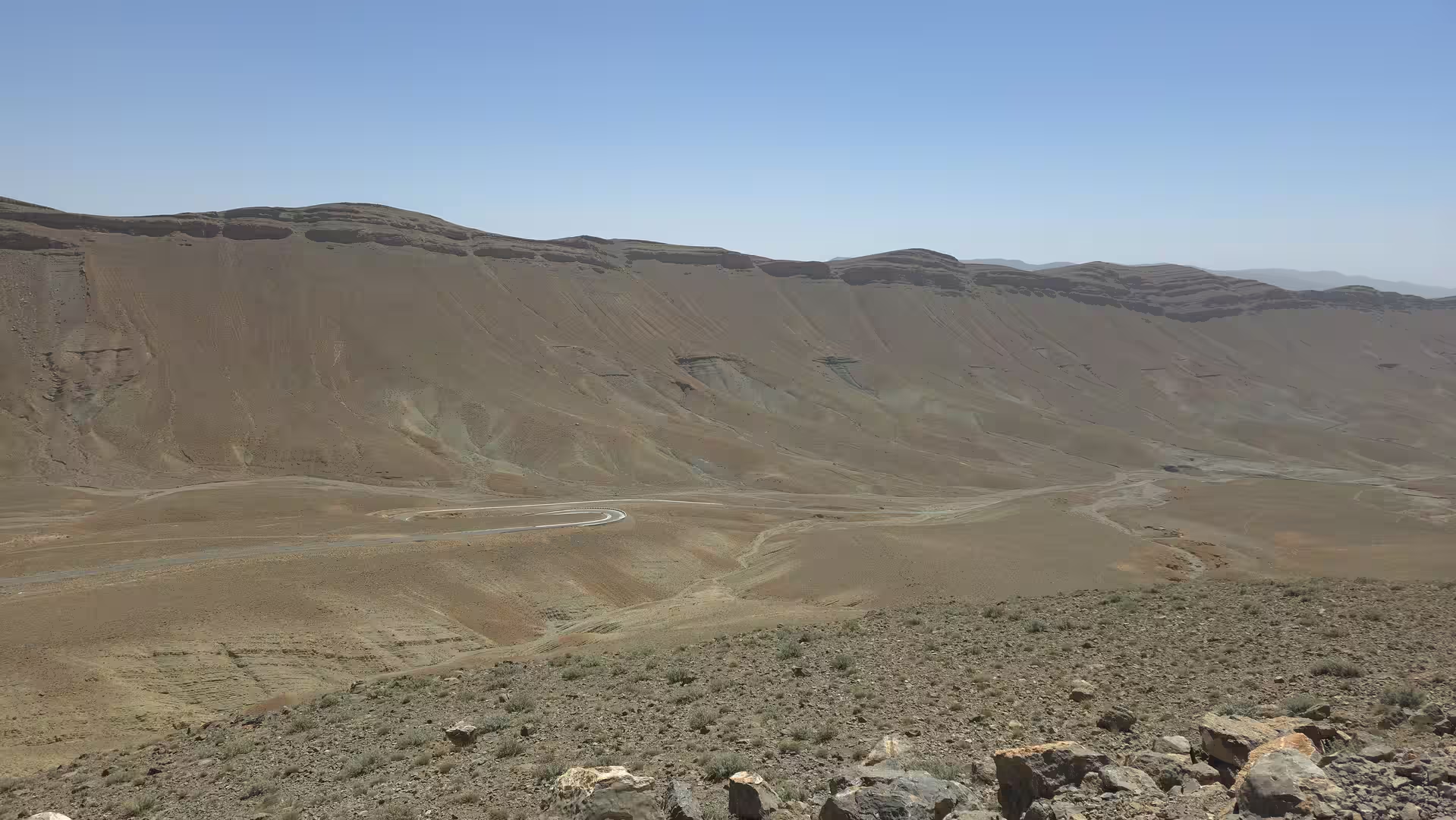
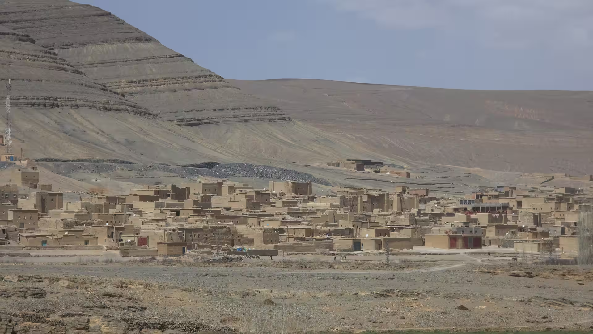
The next major orientation point was the Ouazzane region. The track passed through or near this area around the middle of the route. Ouazzane sits at the edge of the northern hill country and forms a natural stage between the inland plains and the Rif Mountains. Reaching this region gave the journey a different feeling. The road was now clearly moving toward northern Morocco, with the Rif landscapes beginning to influence the route.
A short stop occurred around this stage, after almost 250 kilometers of travel. The pause was brief, but it came at a meaningful point in the journey: after the lowland section and before the route became more strongly shaped by the Rif. From here onward, the scenery began to feel more northern. The hills became more prominent, the road more winding in places, and the landscape more layered.
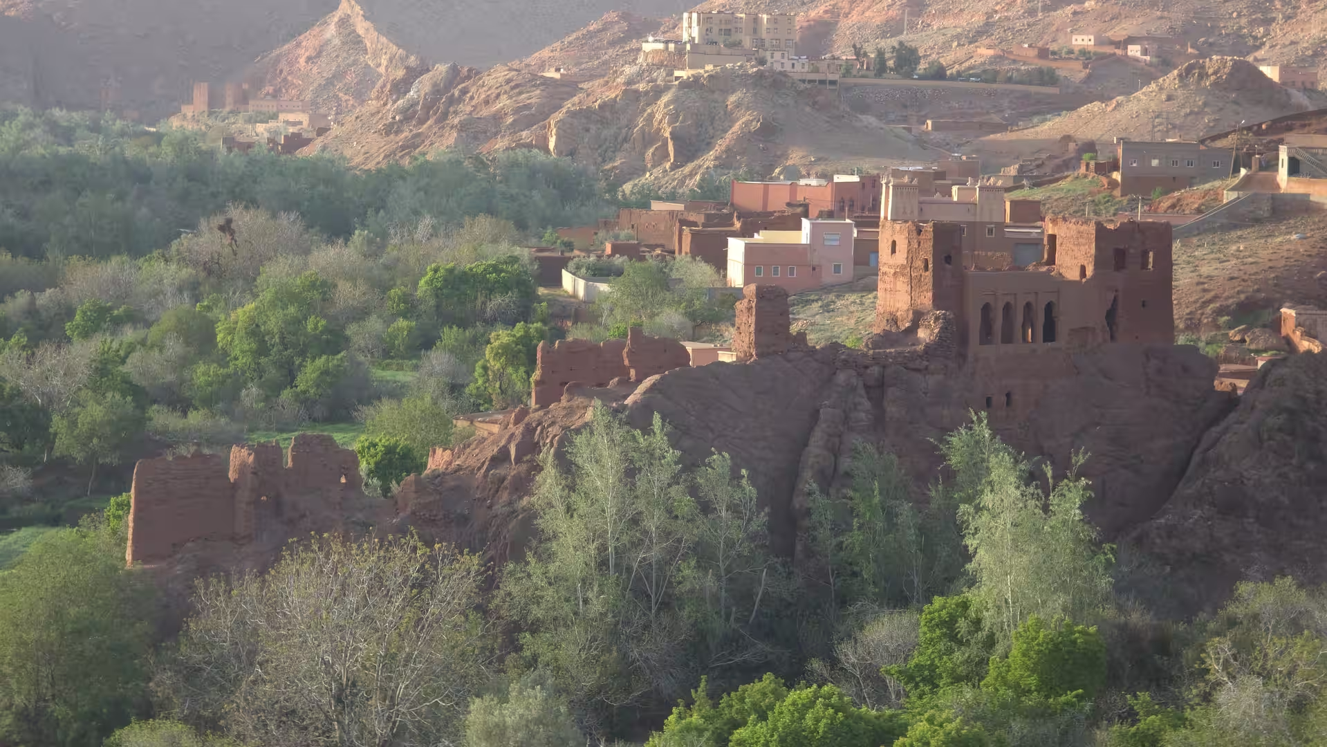
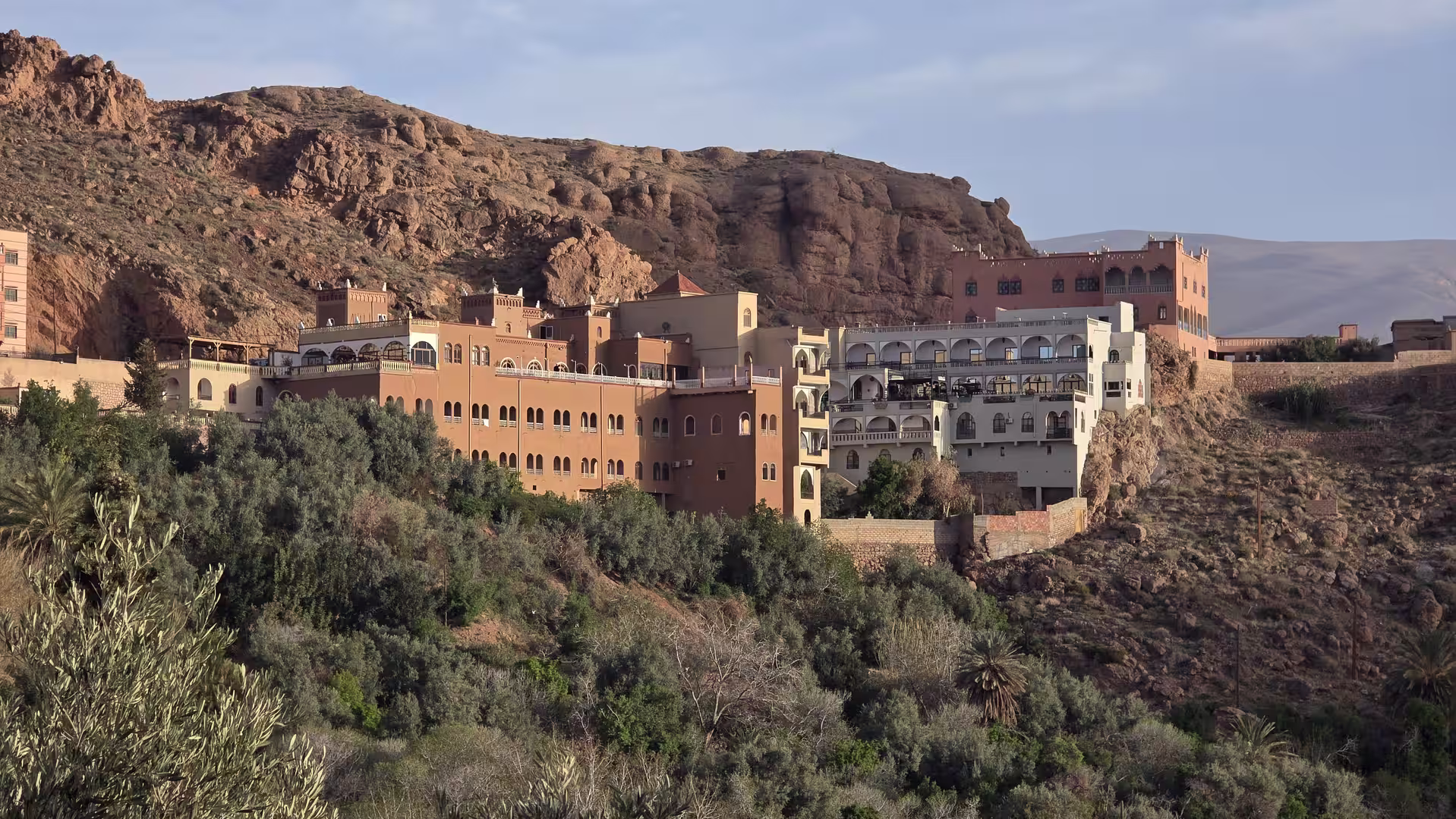
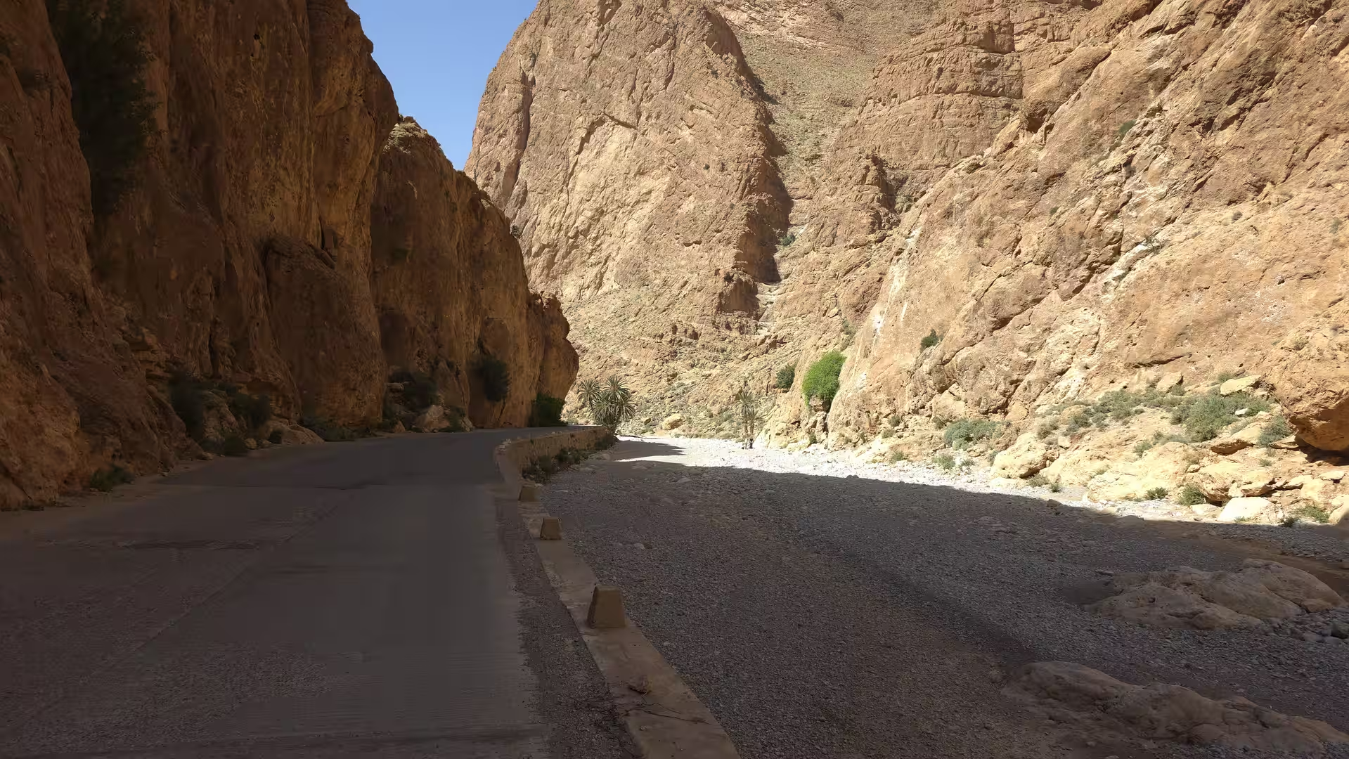
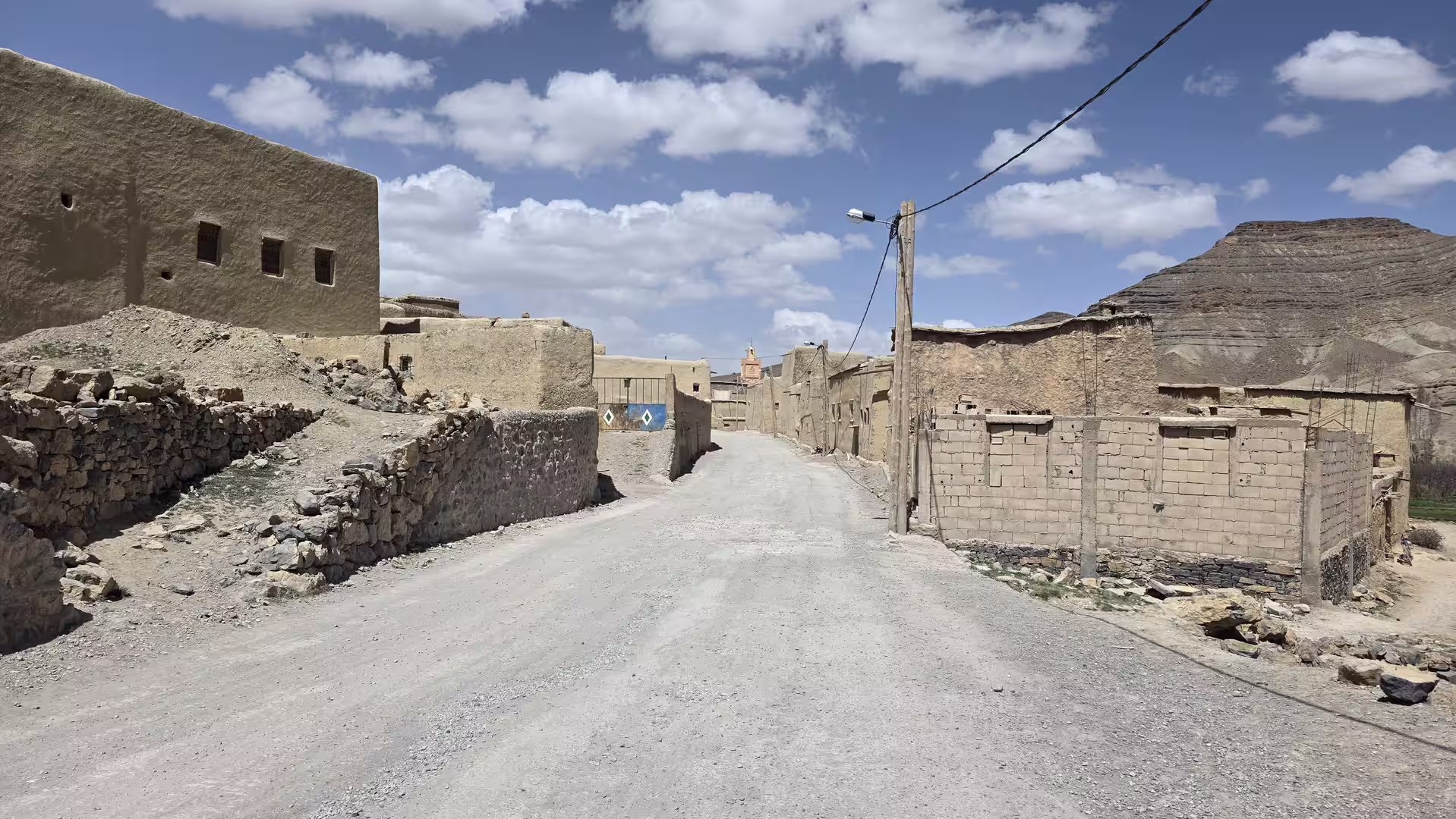
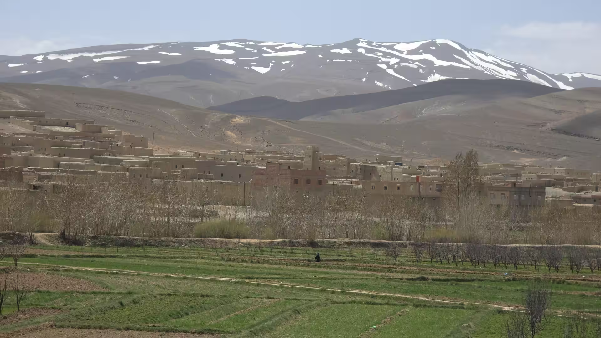
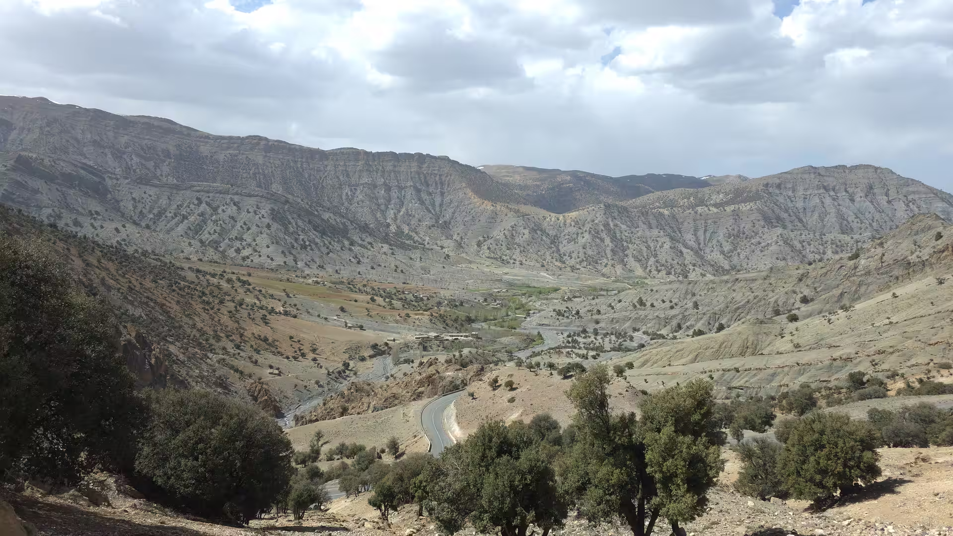
From the Ouazzane region, the route continued toward Chefchaouen and the western Rif. This was one of the most scenic transformations of the day. The road moved from lower agricultural landscapes into hill and mountain country. The elevation increased again, not as dramatically as in the Anti-Atlas, but enough to change the atmosphere of the drive. The route became more winding and visually interesting.
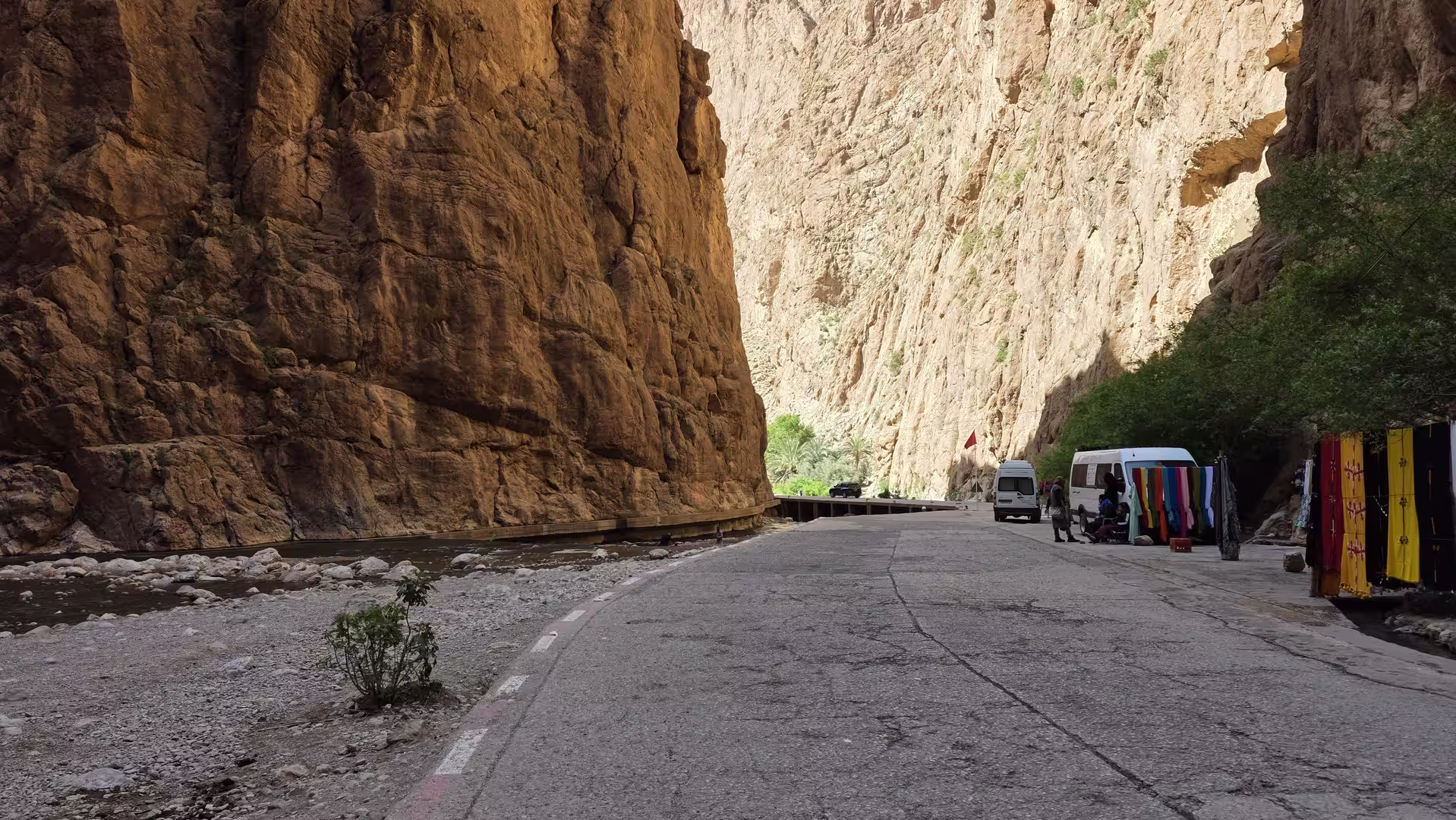
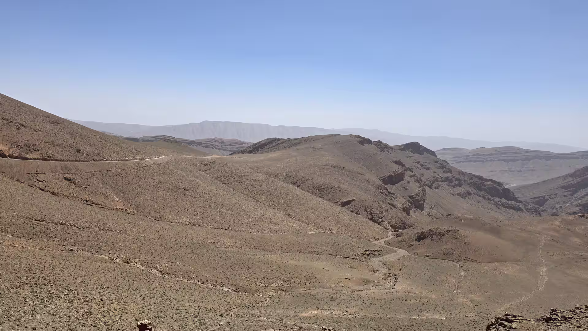
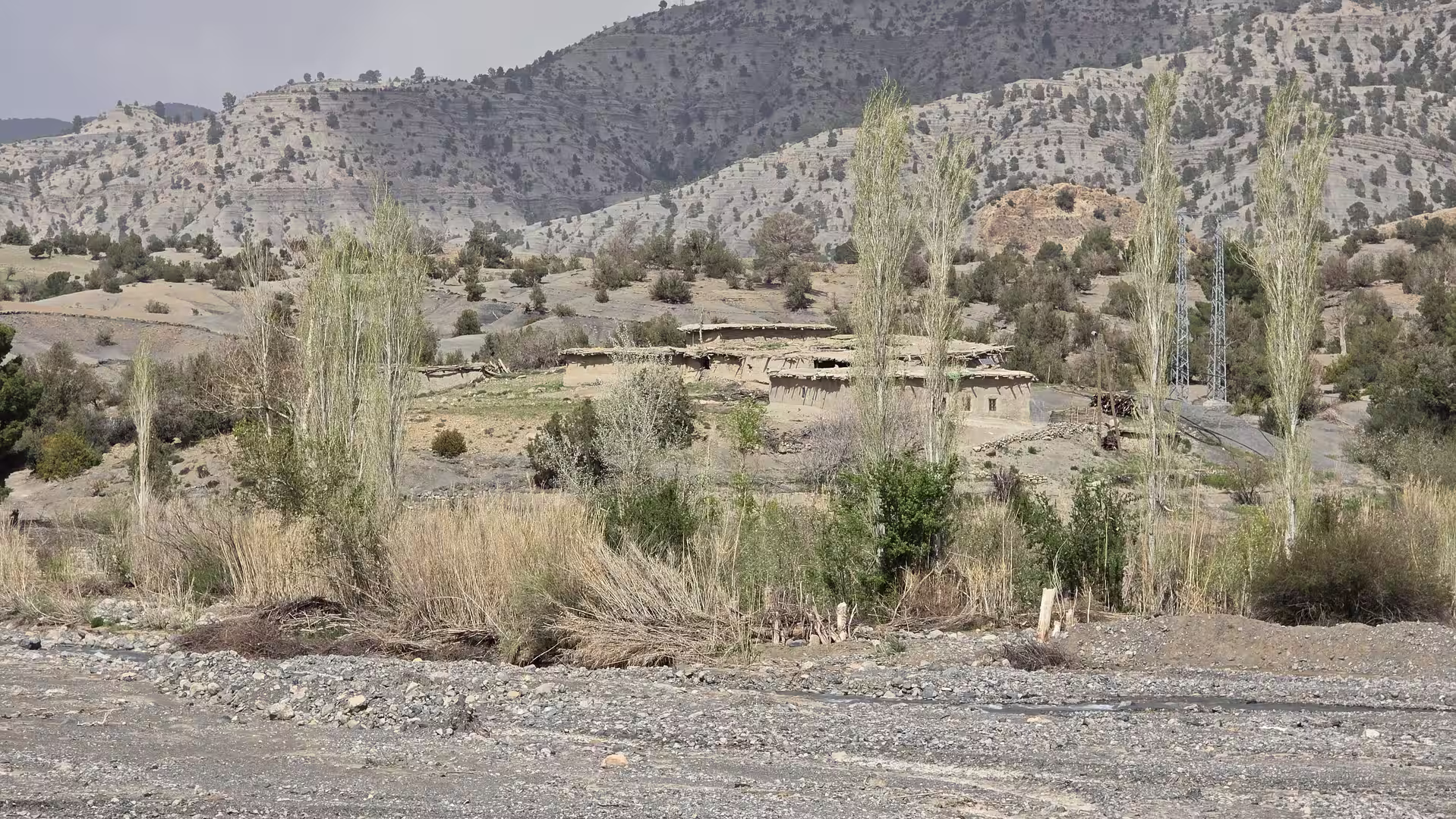
The Rif Mountains brought a strong contrast to the earlier parts of the day. The Middle Atlas at the beginning had been broad, elevated and central. The Rif toward the north felt sharper, greener in places, more compact and more closely connected with the Mediterranean. Villages, valleys, slopes and mountain roads shaped the journey. The road no longer had the direct, open rhythm of the inland plains. It became more geographic, following the contours of the terrain.
The Chefchaouen region formed one of the most memorable sections of the route. The track passed through the wider area, with the road moving through northern mountain landscapes before continuing toward Tétouan. Even without stopping in the town itself, the surrounding region has a distinctive travel identity. It is associated with the western Rif, blue-painted streets, mountain scenery and the transition from inland Morocco toward the northern coast.
After Chefchaouen, the route continued north toward Tétouan. This part of the journey brought the Mediterranean world closer again. The road descended and climbed through the Rif, passing through valleys, ridges and settled mountain areas. The scenery became increasingly northern and coastal in character. The sense of returning toward the Mediterranean was clear, especially after the long sequence of inland and southern routes earlier in the trip.
By the afternoon, the route approached the Tétouan region. This was an important moment in the day. Tétouan had already appeared earlier in the wider journey through northern Morocco, but now it functioned as a return point: the road from central Morocco had reached the northern urban and coastal corridor. The mountains, towns and traffic of this area created a very different atmosphere from the quieter Middle Atlas start.
From Tétouan, the road continued toward the coast and the Tangier Med area. The route moved through the northernmost part of Morocco, where mountains, sea, port infrastructure and border-region traffic come together. The elevation dropped sharply toward sea level. After starting the day at almost 900 meters in Khénifra and crossing highland country, the track now approached the Mediterranean coast at only a few meters above sea level.
This final part of the drive had a strong sense of arrival. The destination was no longer just another town, but the Tangier Med port area. After days of road travel across Morocco, reaching this region suggested the end of the Moroccan land crossing and the approach to the maritime connection back toward Europe. The road became more infrastructural, more connected to port traffic, and more focused on movement between countries.

The track showed a longer stop in the late afternoon near the Tangier Med / northern coast area. This likely reflected waiting, port procedures, preparation, or a final break before the end of the day. A very long stationary period followed near the end of the track, which suggests that the actual driving had effectively finished before the final recorded point. This is typical for tracks around ferry terminals, where the recorded time can include waiting rather than real road movement.
The final recorded point lay near the Tangier Med / Tangier northern coastal area, close to sea level. The route had covered approximately 445 kilometers from Khénifra to the northern coast. The recorded duration was long because of stationary time at the beginning and especially near the end, but the moving time was around seven and a half hours. The journey included both highland travel and a strong descent to the Mediterranean.
What made this route memorable was the geographic arc. It started in the Middle Atlas, crossed central Morocco, descended toward the Meknes and northern lowlands, moved through the Ouazzane and Chefchaouen regions, entered the Rif Mountains, passed toward Tétouan and finally ended near Tangier Med. In one day, the road connected the central highlands with Morocco’s northern coast.

Compared with the previous desert and Atlantic stages, this route felt more varied in human and landscape terms. There were more towns, more cultivated areas, more mountain transitions and more changes in road character. The day began in upland Morocco, moved through agricultural and urban corridors, crossed the Rif, and ended at the Mediterranean edge.
The route also had a strong symbolic meaning within the larger journey. After traveling deep into southern Morocco, along the Atlantic Sahara, into the Anti-Atlas and through inland highlands, this stage returned north. It brought the journey back toward the point where Morocco connects with Europe. The landscape changed accordingly: from high central terrain to the northern mountains, then finally to the coastal and port environment of Tangier Med.
For travelers, this is a demanding but rewarding route. The distance is substantial, and the day involves many different road types: upland roads, main regional connections, lower agricultural corridors, Rif mountain roads and coastal approach roads. The stops and waiting time mean the recorded day is long, but the route itself is a rich cross-section of northern and central Morocco.


The strongest impressions of the day are the transitions: leaving Khénifra’s Middle Atlas setting, crossing toward the Meknes region, descending into lower country, climbing again toward the Rif, passing the Chefchaouen and Tétouan regions, and finally reaching the Mediterranean near Tangier Med. Each stage has a different character, and together they create a strong road narrative.
By the end of the day, the journey had moved from mountain interior to northern coast. It had crossed central Morocco from south to north and returned to the maritime edge of the country. After days of desert, ocean, mountains and remote roads, this track brought the road trip back to the threshold between Morocco and Europe.