A long mountain and highland road journey from Tafraoute to Boumalne Dades, crossing the Anti-Atlas, the Taliouine and Tazenakht regions, Ouarzazate, Skoura and the Dades Valley corridor. The route covers around 475 kilometers and climbs repeatedly through dry mountains, high plateaus and oasis landscapes. With elevations between about 918 and 1,884 meters, this track captures one of the most varied inland crossings of southern Morocco.
The journey began in Tafraoute, surrounded by the rocky landscapes of the Anti-Atlas. After the previous day’s long transition from Laayoune and the Atlantic Sahara into the mountains, this route continued through one of Morocco’s most varied inland regions. It was a day of climbing roads, dry valleys, high plateaus, small towns, long mountain crossings, and finally the approach to the Dades region.
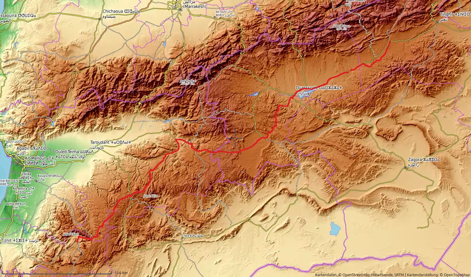
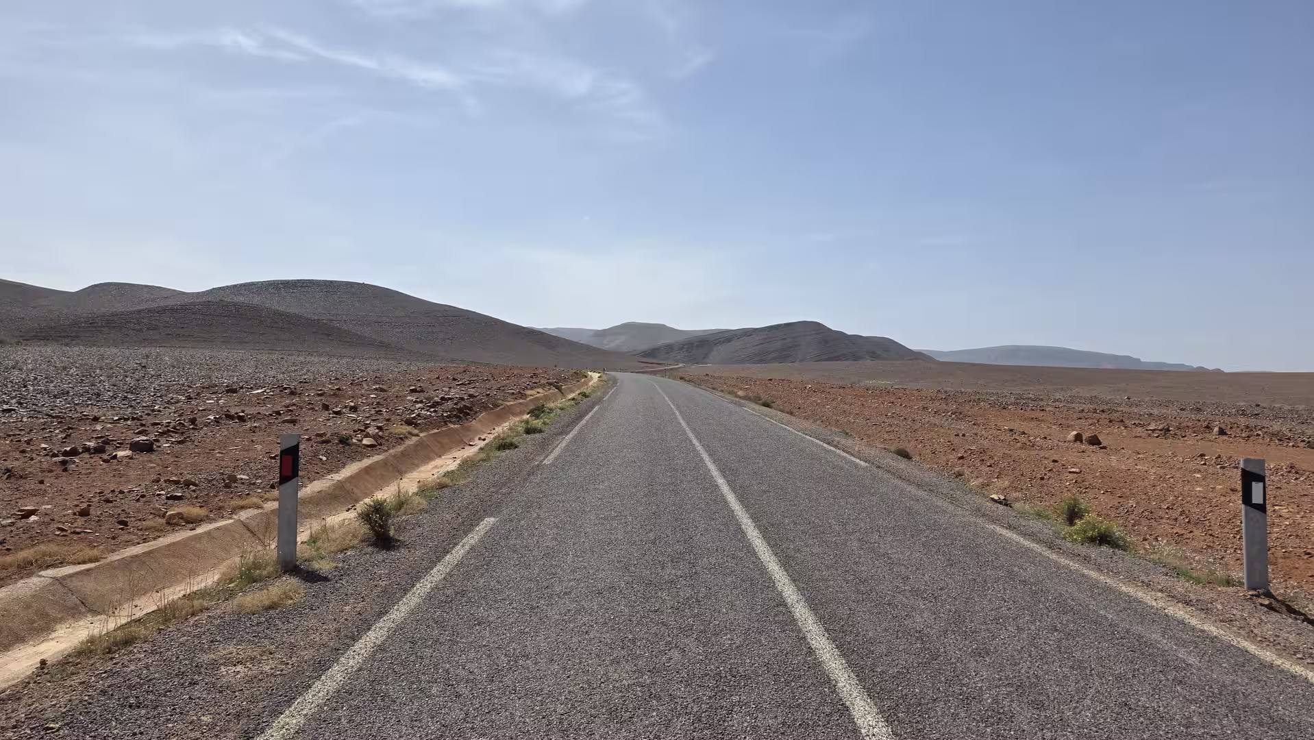
Unlike the flat Atlantic Sahara stages, this was a route shaped almost entirely by terrain. The road did not simply run across open plains. It climbed, dropped, twisted, crossed ridges, passed through high valleys, and moved between very different landscape zones. The track started at around 1,020 meters above sea level in Tafraoute and reached almost 1,885 meters during the day, before ending near Boumalne Dades at about 1,580 meters. This made the journey one of the more mountainous and elevation-rich stages of the trip.
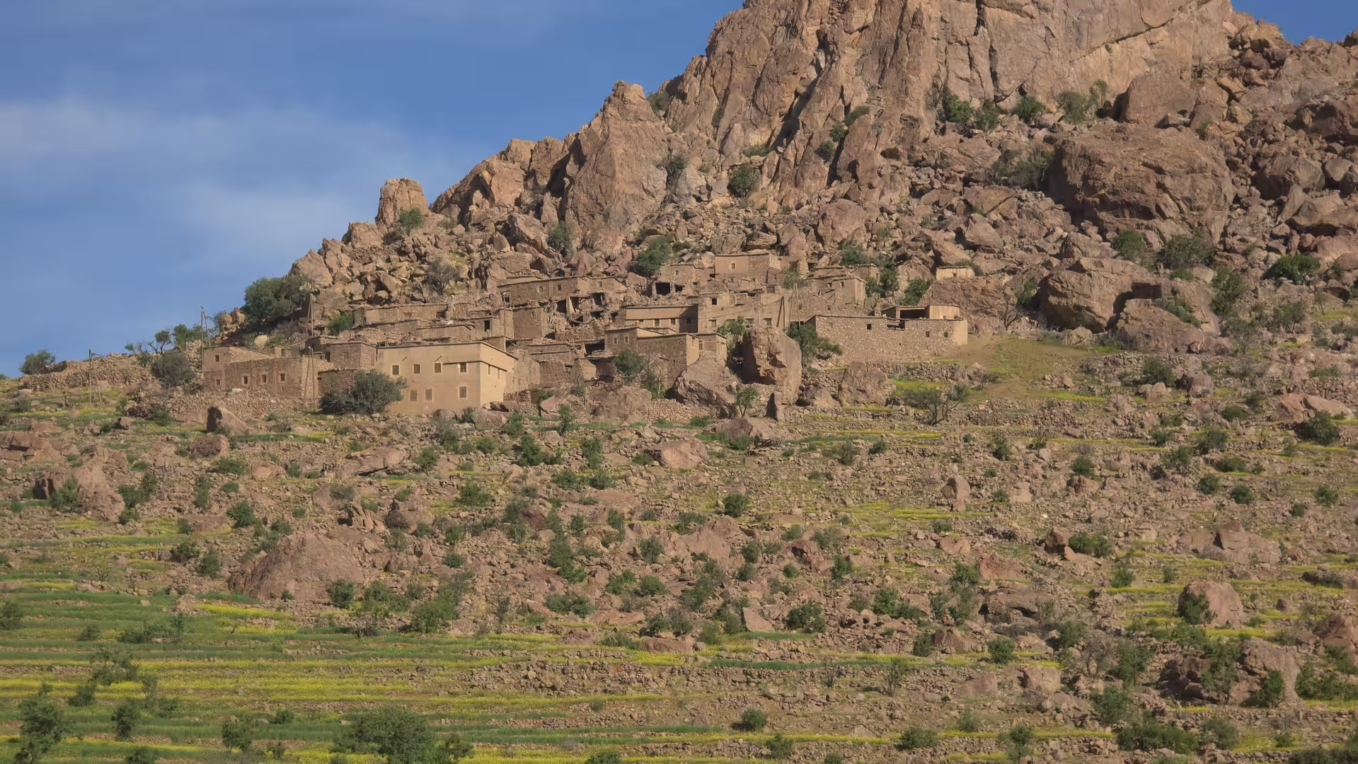
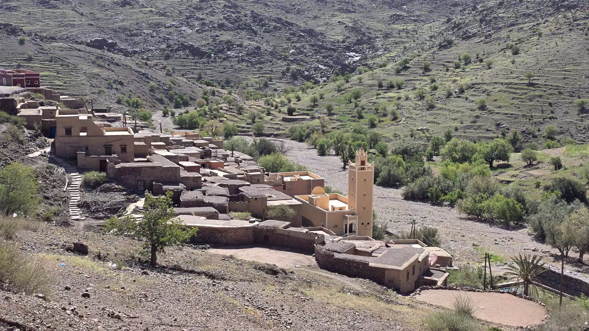
Tafraoute was an ideal starting point for such a route. The town lies in a dramatic Anti-Atlas setting, surrounded by dry granite landscapes, rocky slopes, palm groves and villages. The first impression of the morning was therefore already very different from the long coastal roads of the previous days. Instead of endless horizontal plains, the road began in a compact mountain world where the landscape rises immediately around the traveler.
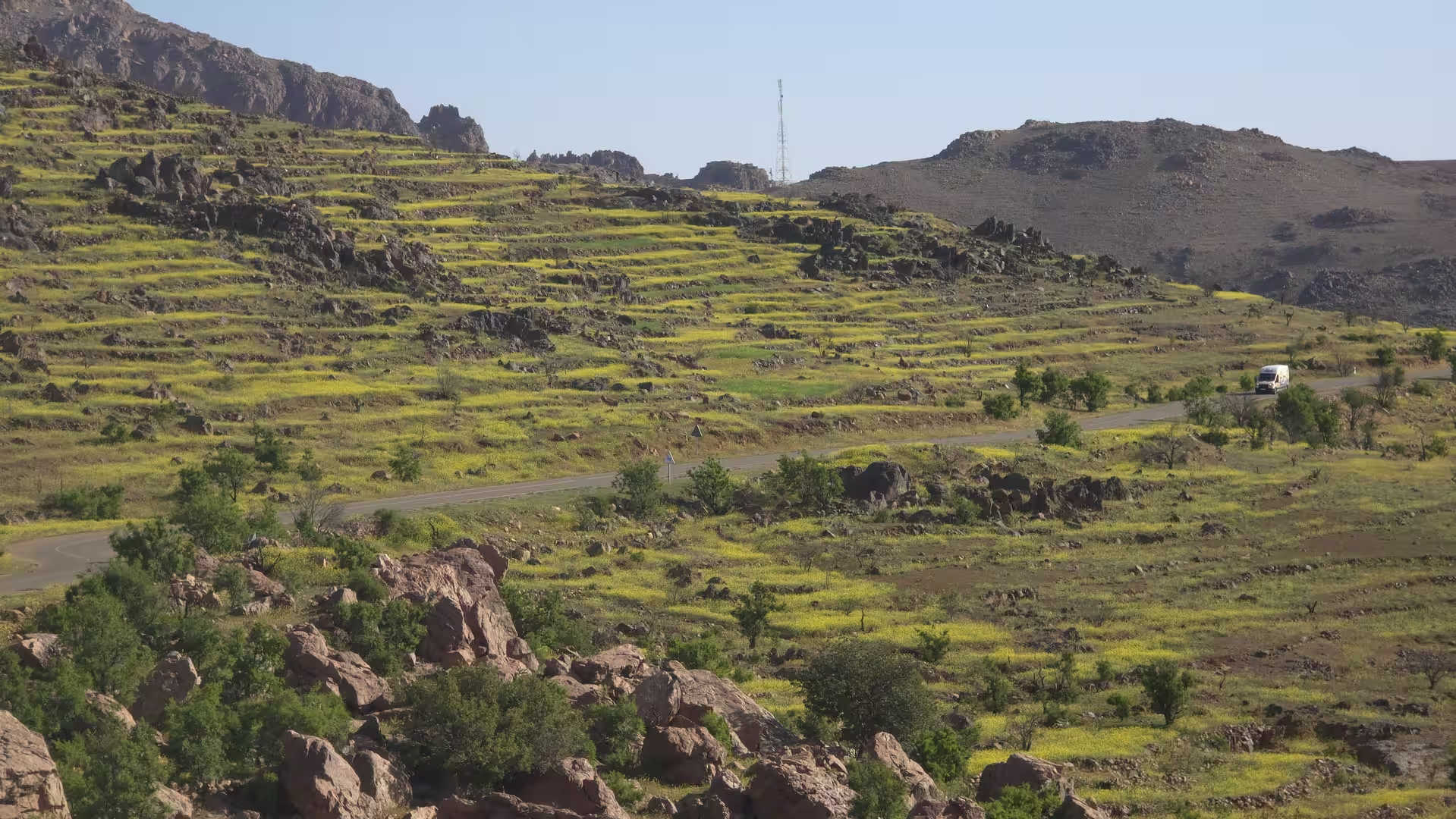
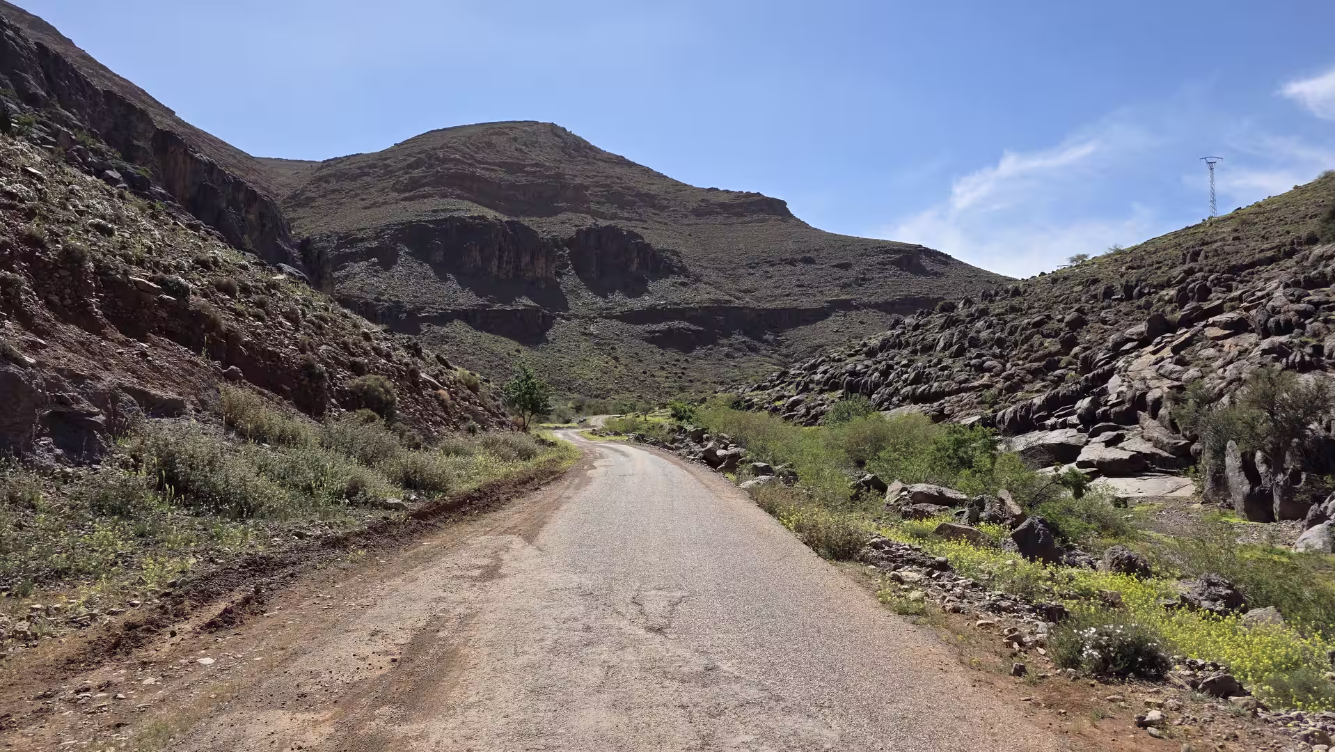
Leaving Tafraoute in the morning, the route first moved through the Anti-Atlas highlands. The road climbed steadily and entered a sequence of rugged mountain landscapes. The GPS track showed a strong rise during the first part of the day, reaching more than 1,600 meters within the first 50 kilometers. This early climb gave the morning a demanding but scenic character. The road moved through dry mountains, remote settlements and open highland terrain.
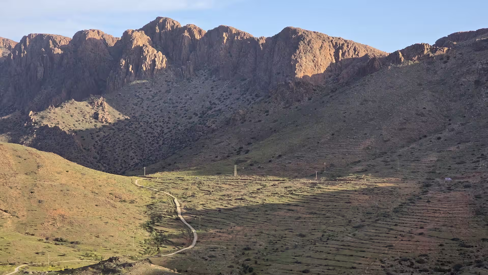
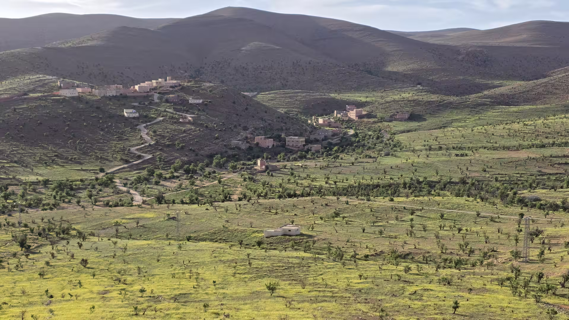
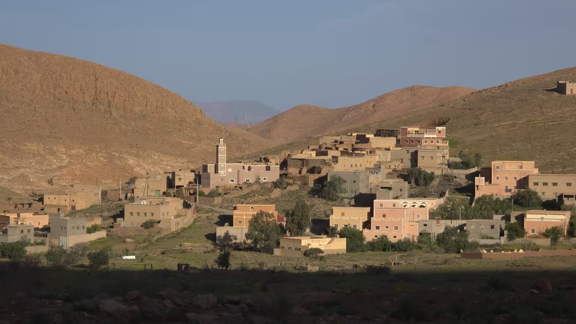
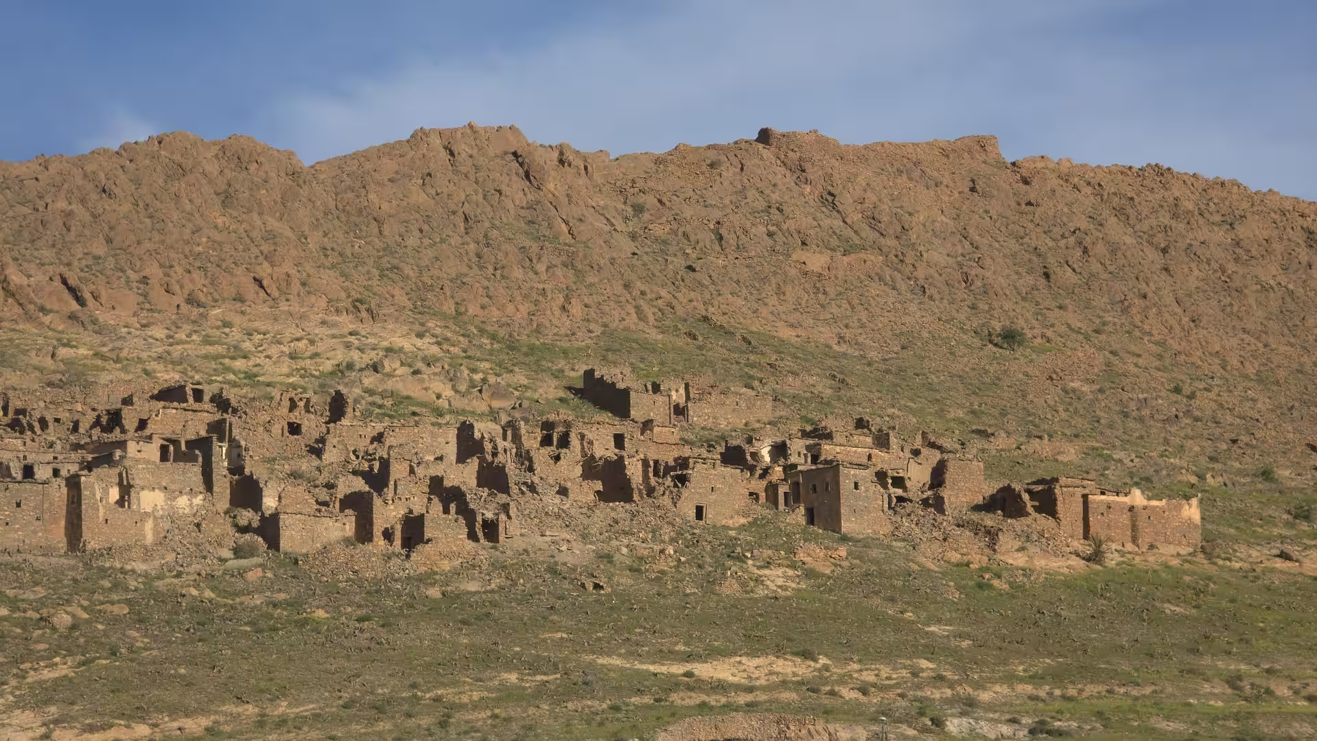
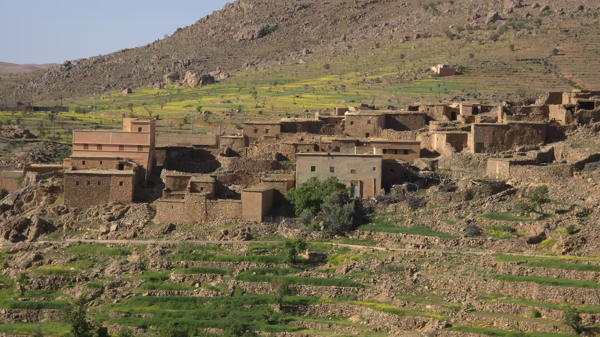
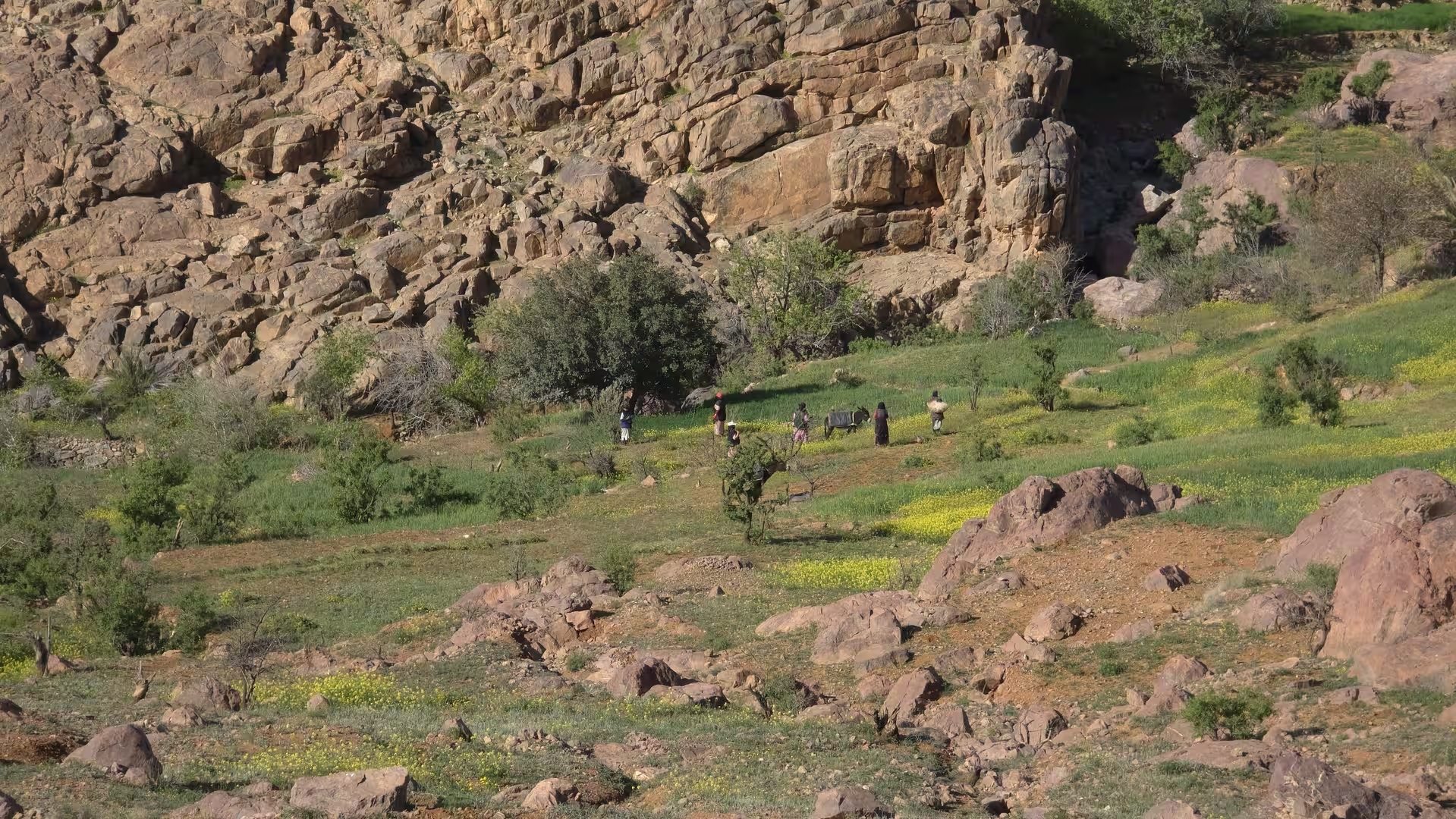
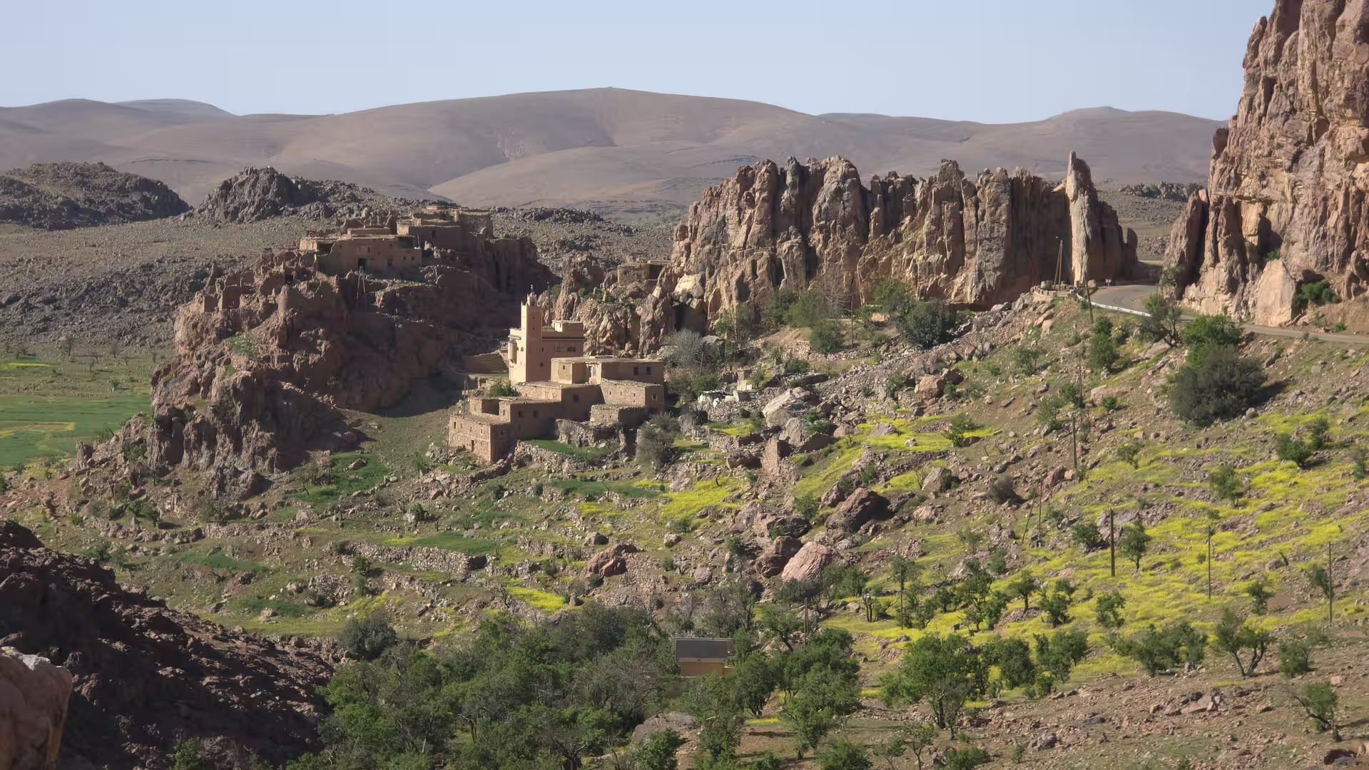
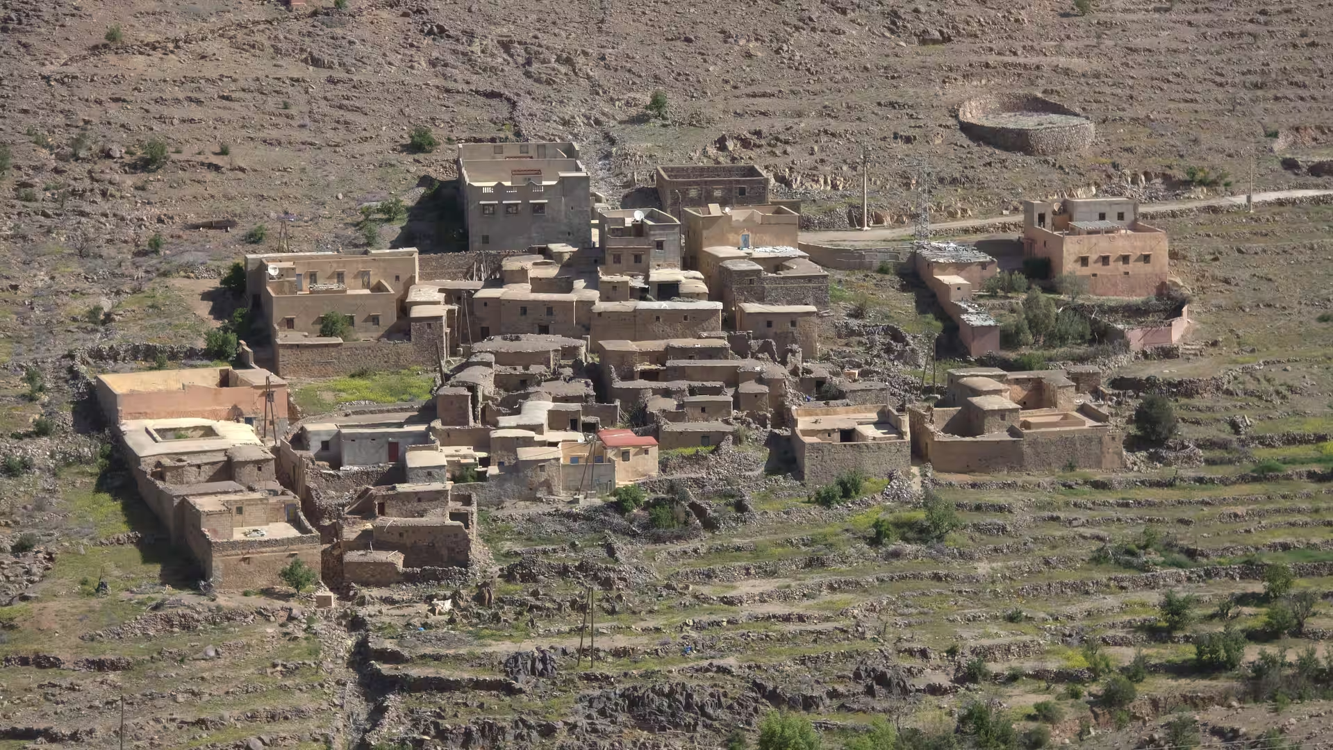
The Anti-Atlas here feels austere but intensely atmospheric. The colors are earthy and mineral: reddish rock, pale slopes, grey-brown hills and occasional green patches where water supports palms or cultivation. Villages appear in the landscape as small clusters of buildings adapted to the dry terrain. The road does not feel separate from the mountains; it follows their shape closely.
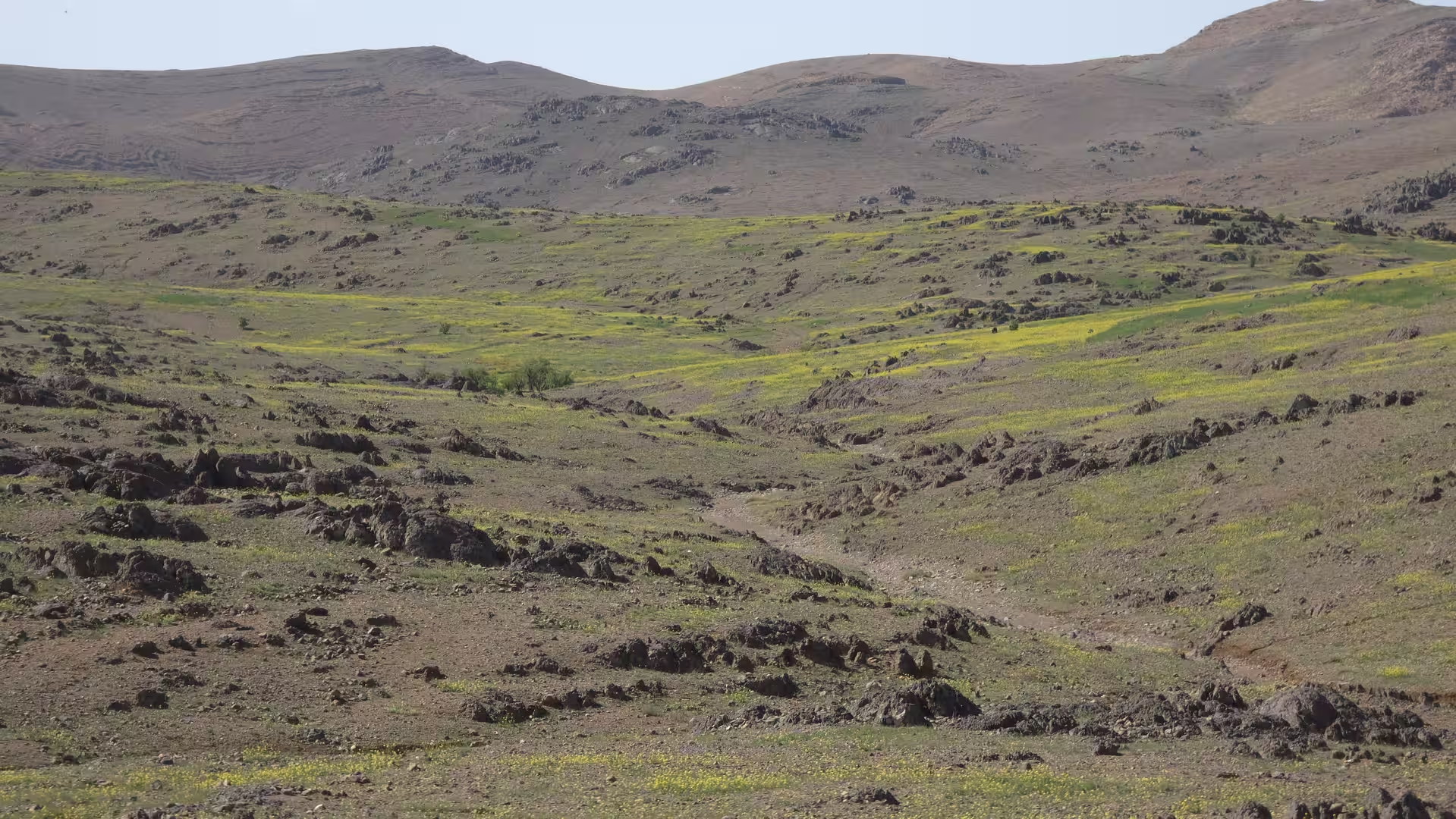
After the first climb, the route continued east and northeast through high country. The track remained at significant elevation, passing through landscapes above 1,500 meters and later reaching more than 1,700 meters. This part of the journey felt remote and spacious. It was not a highway stage, but a mountain crossing through a region where distance is measured not only in kilometers but in climbs, descents and bends.
Around the 100 kilometer mark, the route reached one of the highest early sections of the day. The elevation was above 1,700 meters, and the road passed through open upland terrain. A short stop occurred around this part of the route, lasting a little over ten minutes. This pause came after a demanding first section and naturally divided the morning into two stages: the departure and climb from Tafraoute, followed by the continuation across the Anti-Atlas interior.
After the stop, the route continued eastward through the mountains. The landscape remained dry, but the road began to descend gradually into lower valleys. This descent changed the mood of the journey. The high rugged terrain slowly gave way to broader valleys and more open spaces. The mountains were still present, but the road now moved through a more varied sequence of ridges, settlements and cultivated pockets.
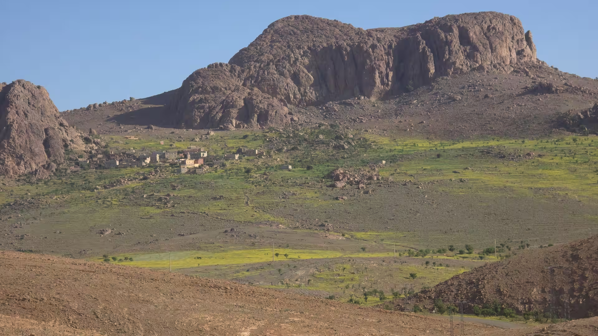
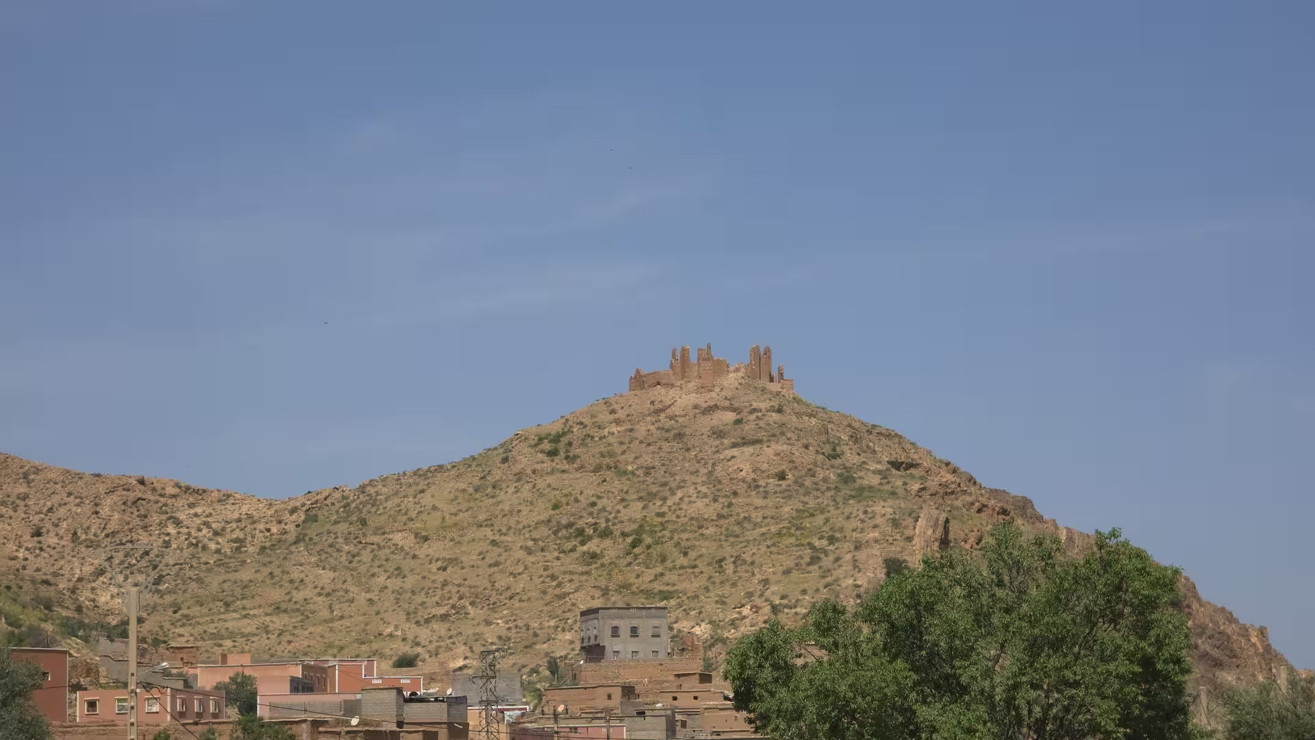
The route likely passed through or near the Igherm region before continuing toward Taliouine. This part of the Anti-Atlas is known for remote highland roads and dry mountain scenery. It is a region where travel feels slow and geographic. Each town and village appears as a meaningful point in a landscape otherwise dominated by rock, altitude and distance.

As the road approached the Taliouine area, the elevation dropped toward roughly 900 to 1,000 meters. This was one of the lower inland sections of the day. The track showed two stops around this part of the route, one short and one longer. The longer pause of more than twenty minutes came around midday and served as a natural break between the Anti-Atlas mountain crossing and the next highland section toward Tazenakht.
Taliouine and its surroundings marked an important transition. The region lies between the Anti-Atlas and the routes leading toward Ouarzazate. It has a dry inland character, with broad valleys, mountain backdrops and a sense of being on an old route between southern Morocco’s mountain and oasis regions. After the rugged start from Tafraoute, the landscape here felt more open and settled, but still strongly arid.
Leaving the Taliouine region, the route climbed again. This was one of the defining features of the day: the road never settled into one elevation zone for long. After descending toward the Taliouine area, it rose again into high plateau and mountain terrain. The track climbed back above 1,500 meters and later above 1,800 meters, making this one of the most elevated sections of the journey.
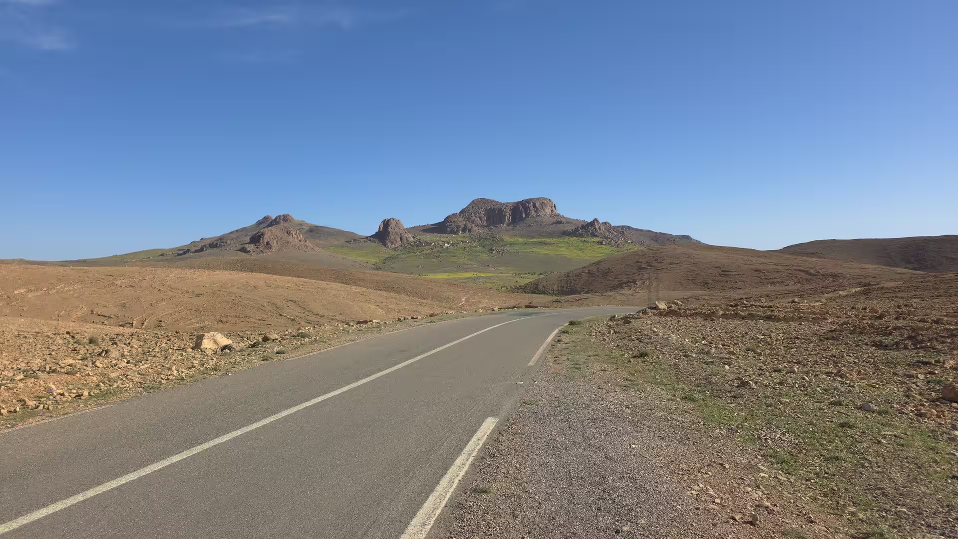
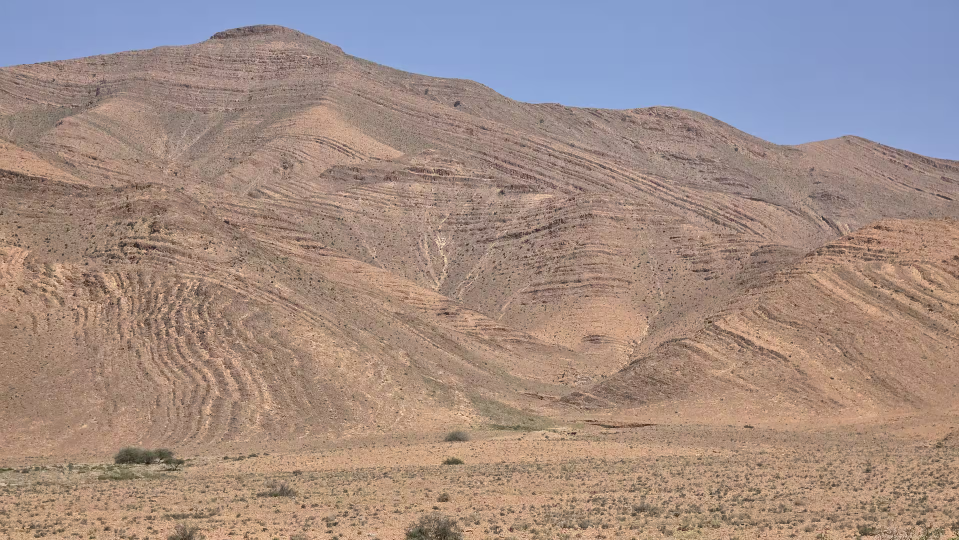
The road toward Tazenakht carried a strong highland character. The landscape became broader than around Tafraoute, but it remained dry, rocky and exposed. The route crossed open uplands, low mountain ridges and wide valleys where the road could be seen stretching far ahead. This section combined the spaciousness of a plateau with the elevation of a mountain road.
A stop occurred during this climb, around the 230 kilometer point. The elevation was already high again, close to 1,600 meters. This pause came in a very different environment from the lower Taliouine valley. The route had returned to high, open terrain, and the road carried the feeling of crossing one of southern Morocco’s great inland thresholds.

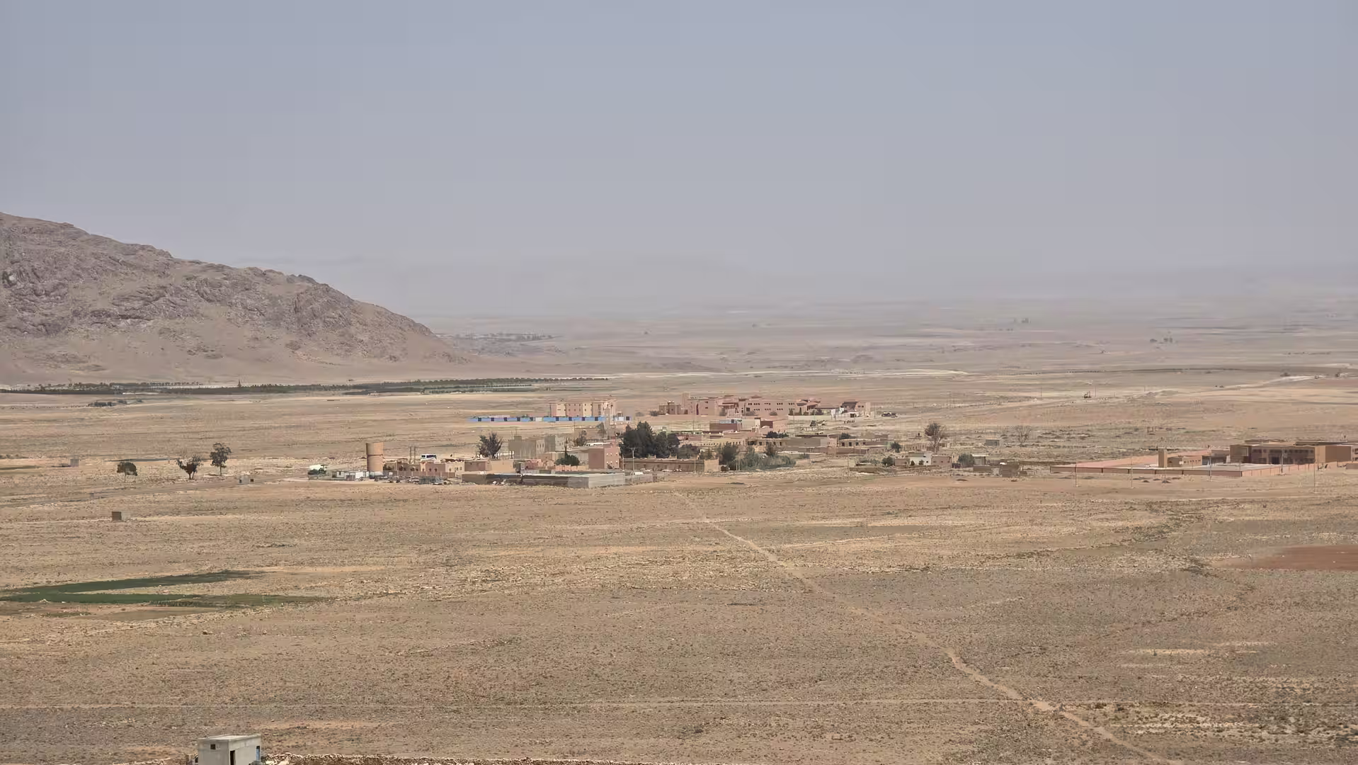
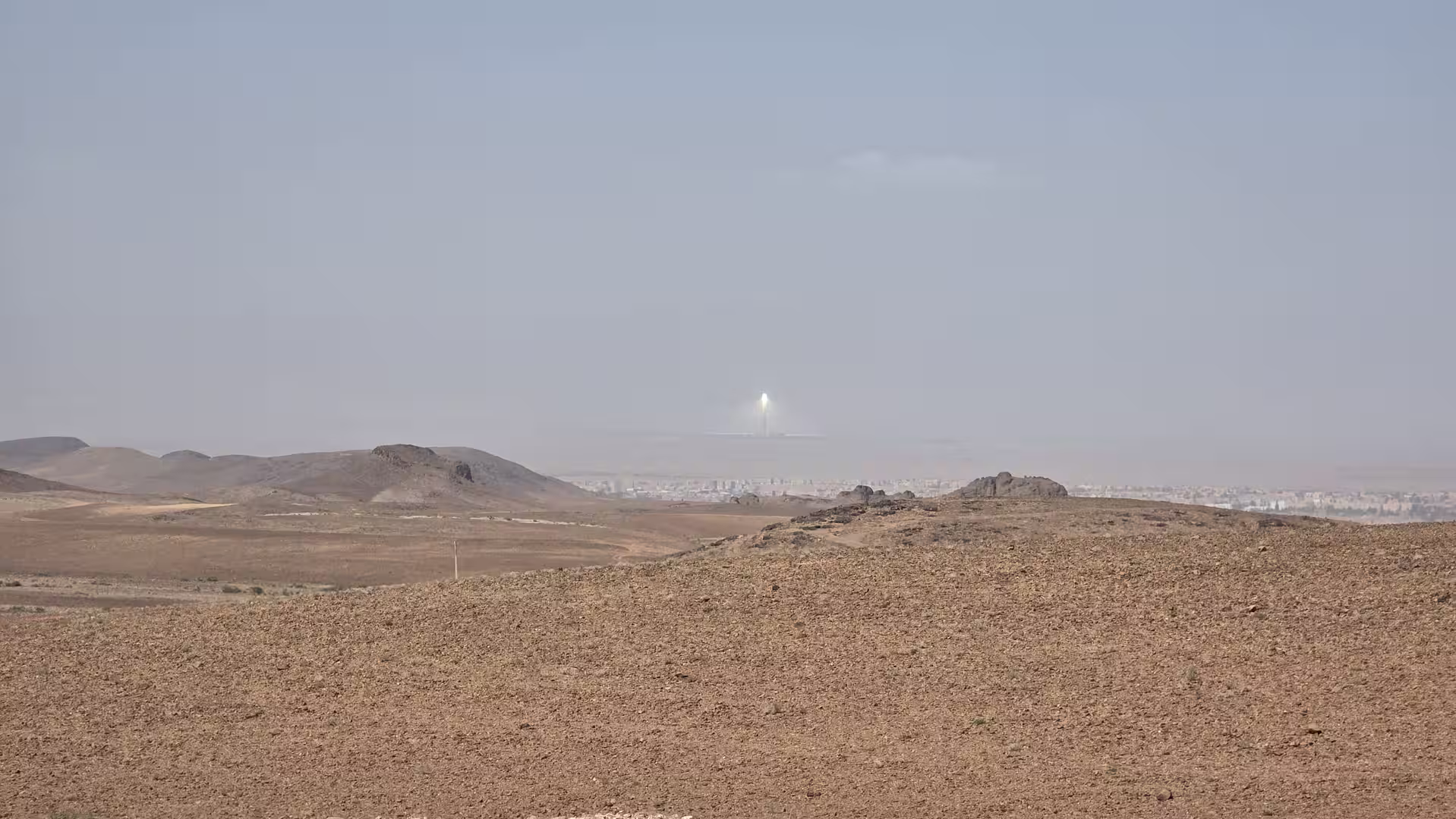
By early afternoon, the route reached the Tazenakht area. This was one of the key waypoints of the day. Tazenakht lies on the route between the Anti-Atlas and Ouarzazate, in a landscape of dry plateaus, stony plains and mountain views. The track showed a longer stop of about half an hour around this area. This pause formed the main break of the afternoon and divided the journey again: the western mountain and plateau crossing was complete, and the road now turned toward Ouarzazate and the Dades region.
Tazenakht gave the route a clear sense of direction. After the winding and elevated roads from Tafraoute, the journey now moved east toward the better-known corridor of Ouarzazate, Skoura, Kelaat M’Gouna and Boumalne Dades. The road became more connected to southern Morocco’s classic inland routes, while still retaining the open and dry character of the highlands.
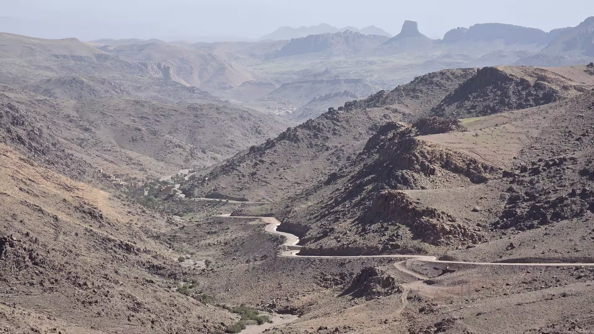
From Tazenakht, the route continued northeast toward Ouarzazate. The landscape gradually changed again. The road descended from the higher plateau and moved toward the broad basin around Ouarzazate. This section felt more open and faster than the earlier mountain roads. The terrain was still dry and rugged, but the approach to Ouarzazate introduced a wider travel corridor with more settlements, infrastructure and movement.
Ouarzazate marked a major geographic and cultural threshold in the journey. It is one of the best-known cities of southern Morocco and a gateway between the High Atlas, the Draa Valley, the Dades region and the desert routes farther south and east. Passing through or near Ouarzazate gave the day a new structure. The route had left the remote Anti-Atlas crossing behind and entered one of Morocco’s great southern travel corridors.
After Ouarzazate, the road continued east along the route toward Skoura. This part of the journey had a very different rhythm from the morning. The landscape was no longer defined by constant sharp mountain changes. Instead, the road followed a broader valley and oasis corridor, with dry hills, palm groves, cultivated areas and settlement patterns along the route.
Skoura and its surroundings brought the presence of oasis landscapes back into the journey. After hours of stony highlands and mountain roads, the appearance of palm groves and inhabited valleys changed the atmosphere. The scenery remained arid, but it was less empty. Human settlement became more visible, shaped by water, agriculture and historic routes through the south.
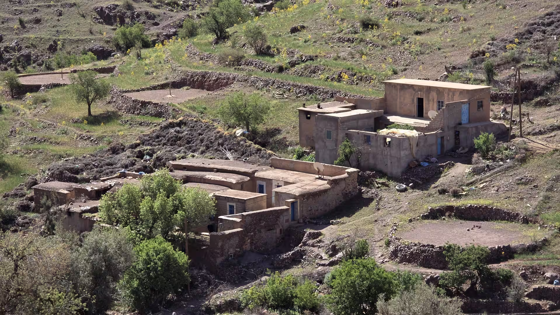
From Skoura, the journey continued toward Kelaat M’Gouna. This stretch belongs to the wider Dades Valley region and is one of the classic road corridors of southern Morocco. The road moved through a landscape where dry mountains, valleys, towns and cultivated areas meet. Compared with the high exposed sections earlier in the day, this part felt more inhabited and structured.
A final longer pause appeared in the late afternoon, between Skoura and the Dades region. By this point, more than 400 kilometers had already been covered. The stop came after a long day of repeated climbs and descents, and before the final approach to Boumalne Dades. It gave the route a last break before the journey entered its destination area.
The final section led east toward Boumalne Dades. The road gradually climbed again, ending at a significantly higher elevation than many of the middle sections. The destination lies near the entrance to the Dades Valley, one of the most famous scenic areas in southern Morocco. As the route approached Boumalne Dades, the surrounding terrain became more mountainous again. The dry valley landscapes, distant ridges and rising road gave the arrival a strong sense of place.
The track ended near Boumalne Dades in the evening. By then, the route had covered approximately 475 kilometers and recorded more than ten hours from start to finish. The moving time was around seven and a half hours, with just over three hours of stops and pauses. The day included repeated elevation changes, with the highest point close to 1,885 meters and the lowest point around 918 meters. The cumulative climbing was substantial, making this one of the more physically varied road stages of the trip.
What made this journey memorable was the continuous change in landscape. The route began in the rocky Anti-Atlas around Tafraoute, climbed through remote highlands, descended toward Taliouine, climbed again toward Tazenakht, crossed toward Ouarzazate, followed the oasis corridor through Skoura and Kelaat M’Gouna, and finally reached Boumalne Dades. It was a day that connected several distinct versions of southern Morocco.
The first part of the journey belonged to the Anti-Atlas: rocky, dry, elevated and remote. The middle part belonged to the inland high plateaus between Taliouine and Tazenakht. The later part moved into the Ouarzazate and Dades corridor, where towns, palm groves and valleys gave the landscape more structure. The final arrival near Boumalne Dades brought the road back into mountain territory.
This route is especially rewarding for travelers who enjoy landscape transitions. It does not have the simplicity of the Atlantic coastal road or the directness of a desert highway. It is more complex. It climbs, descends, turns and changes character many times. The reward is a deep impression of Morocco’s southern interior, from granite mountains and dry uplands to oasis valleys and the approach to the Dades.
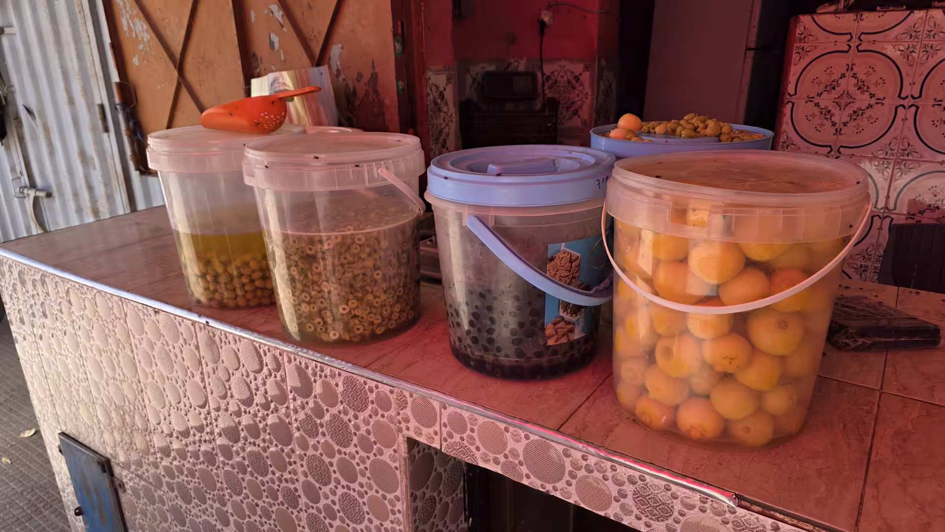
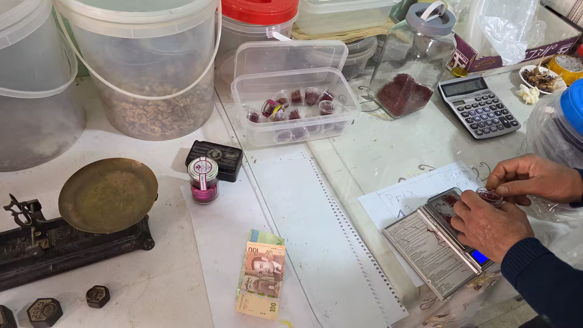
For travel photography, the route offers a wide variety of subjects: Tafraoute’s rocky landscapes, Anti-Atlas villages, high plateau roads, dry valleys, roadside scenes around Taliouine and Tazenakht, the broad Ouarzazate corridor, palm groves near Skoura, and the mountain approach to Boumalne Dades. The light, color and elevation changes make the day visually rich from beginning to end.
From a travel-report perspective, this was one of the most geographically interesting stages of the journey. It showed that southern Morocco is not only desert and coast. It is also a land of high roads, dry mountains, old travel corridors, oasis settlements and dramatic transitions between regions. The journey from Tafraoute to Boumalne Dades made all of this visible in a single long day.
By the end of the route, the traveler had crossed from the Anti-Atlas into the Dades region, passing through some of Morocco’s most atmospheric inland landscapes. It was a demanding stage, but also a rewarding one: a road journey of altitude, stone, valleys, towns and mountain light.