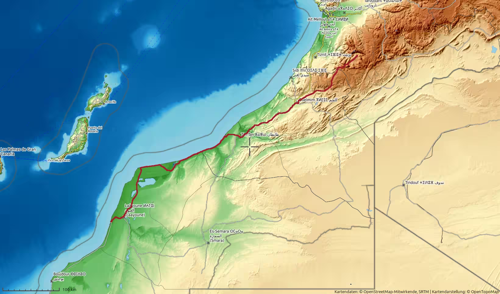
A long road journey from Laayoune to Tafraoute, starting in the Atlantic Sahara and ending in the Anti-Atlas mountains. The route follows the southern Atlantic corridor through the Tarfaya, Akhfenir and Tan-Tan regions, turns inland through Guelmim and Bouizakarne, and then climbs into the rugged mountain landscapes around Tafraoute. With more than 620 kilometers of driving and a climb from near sea level to over 1,300 meters, this track captures one of the strongest landscape transitions of the trip.
The journey began in Laayoune, in the wide Atlantic Sahara landscape of southern Morocco. After the previous stages along the long coastal corridor between Guelmim, Laayoune and Dakhla, this day marked a clear change in direction and atmosphere. Instead of continuing farther along the low Atlantic road, the route now turned north and northeast, leaving the open coastal desert behind and heading back toward inland southern Morocco, the Guelmim region, and finally the mountains of the Anti-Atlas.
At the start, the surroundings were still shaped by Laayoune and the southern Atlantic road. The landscape was low, open and dry, with the road moving across broad plains close to sea level. The first kilometers carried the same feeling as the earlier Atlantic Sahara tracks: pale ground, sparse vegetation, large sky, long straight road sections and the sense of traveling through a very wide, lightly settled region.
Leaving Laayoune, the route headed north. The city quickly disappeared behind the road, and the journey entered the long open corridor toward Tarfaya and Akhfenir. This first part of the day was defined by low elevation and coastal-desert scenery. The Atlantic itself was not always directly visible, but the landscape still belonged to the ocean’s influence. The light was broad, the terrain open, and the route had the exposed quality typical of Morocco’s southern Atlantic road.
After some distance, the road approached the wider Tarfaya region. This section felt familiar after the earlier southbound and northbound stages along the same corridor. Tarfaya and its surroundings form one of the important reference points between Laayoune and Tan-Tan. In a region of very long distances and few large settlements, these places are more than simple names on a map. They divide the journey into manageable stages.
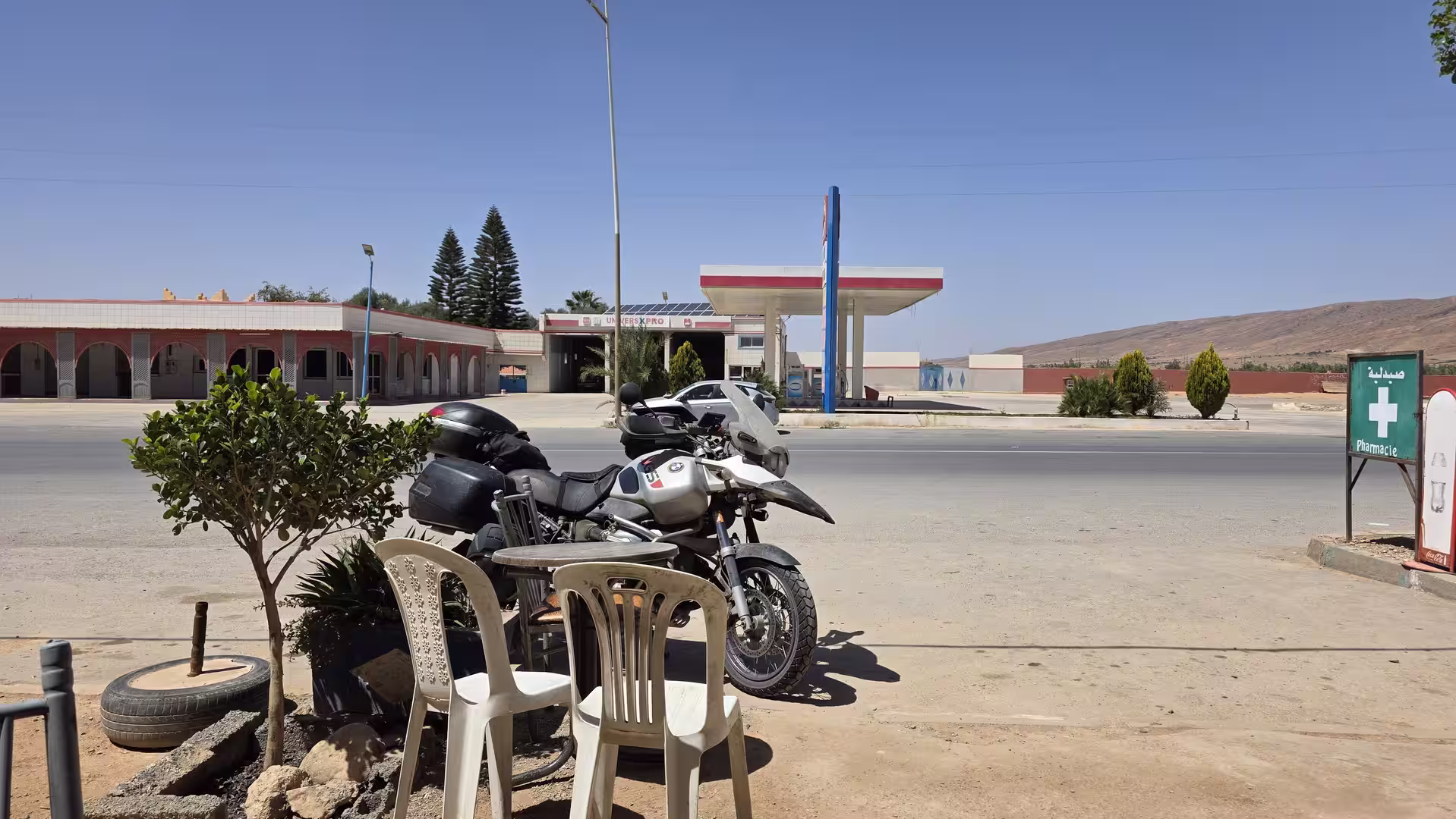
A longer stop occurred before or around the Tarfaya section of the route. This pause came relatively early in the day and lasted almost fifty minutes. It gave the first part of the journey a clear structure: departure from Laayoune, open road across the Atlantic Sahara, then a substantial break before continuing north. In such a sparse landscape, a stop can feel more significant than it would in a densely settled region. It interrupts the long rhythm of the road and makes the surrounding emptiness more noticeable.
After the break, the journey continued north through the coastal desert. The road remained low and open. The scenery changed slowly rather than dramatically. This kind of landscape can appear repetitive at first, but over time it becomes one of the strongest impressions of southern Morocco. The road, the sky and the dry land form a simple but powerful composition. There are few distractions, and the traveler becomes more aware of distance itself.
The route passed the Tarfaya area and continued toward Akhfenir. The road between these places belongs to the Atlantic Sahara corridor, a long stretch where settlements are scattered and the terrain remains wide, exposed and close to the ocean. The experience is not like driving through mountain roads or oasis valleys. It is a horizontal journey, with the horizon always present and the road often running almost as a straight line through the landscape.

Akhfenir was another important waypoint. The surrounding region is known for the contrast between the dry land and the nearby Atlantic coast. Even when the road does not run directly at the water’s edge, the coastal atmosphere remains present. Wind, light and the lack of dense settlement give the area its remote character.
Beyond Akhfenir, the route continued toward Tan-Tan. The road gradually moved away from the most isolated coastal feeling and approached a more structured southern Moroccan road corridor. Tan-Tan marked an important turning point in the day. It is one of the key towns between the Atlantic coast and the inland route toward Guelmim. After hours of open country, arriving around Tan-Tan gave the journey a stronger sense of connection to Morocco’s interior.
A stop in the Tan-Tan area divided the middle of the day. This was a natural pause after the long northbound section from Laayoune through the coastal desert. By this point, the journey had already covered more than 300 kilometers. The route had moved from the Atlantic Sahara toward the southern Moroccan mainland, and the next stage would lead farther inland toward Guelmim and the Anti-Atlas.
Leaving Tan-Tan, the character of the road began to change. The landscape was still dry and open, but it no longer felt purely coastal. The route now turned more decisively inland. The elevation began to rise gradually, and the horizon started to include more landforms. The open plains were still present, but low hills and inland terrain became more important.
The road toward Guelmim had a transitional quality. It linked the flat Atlantic Sahara corridor with the more varied landscapes of southwestern Morocco. The movement was no longer only north along the coast. It was now a return toward the interior. This gave the journey a new sense of progression: from low desert plains to inland routes, from ocean-influenced openness to the first signs of mountain country.
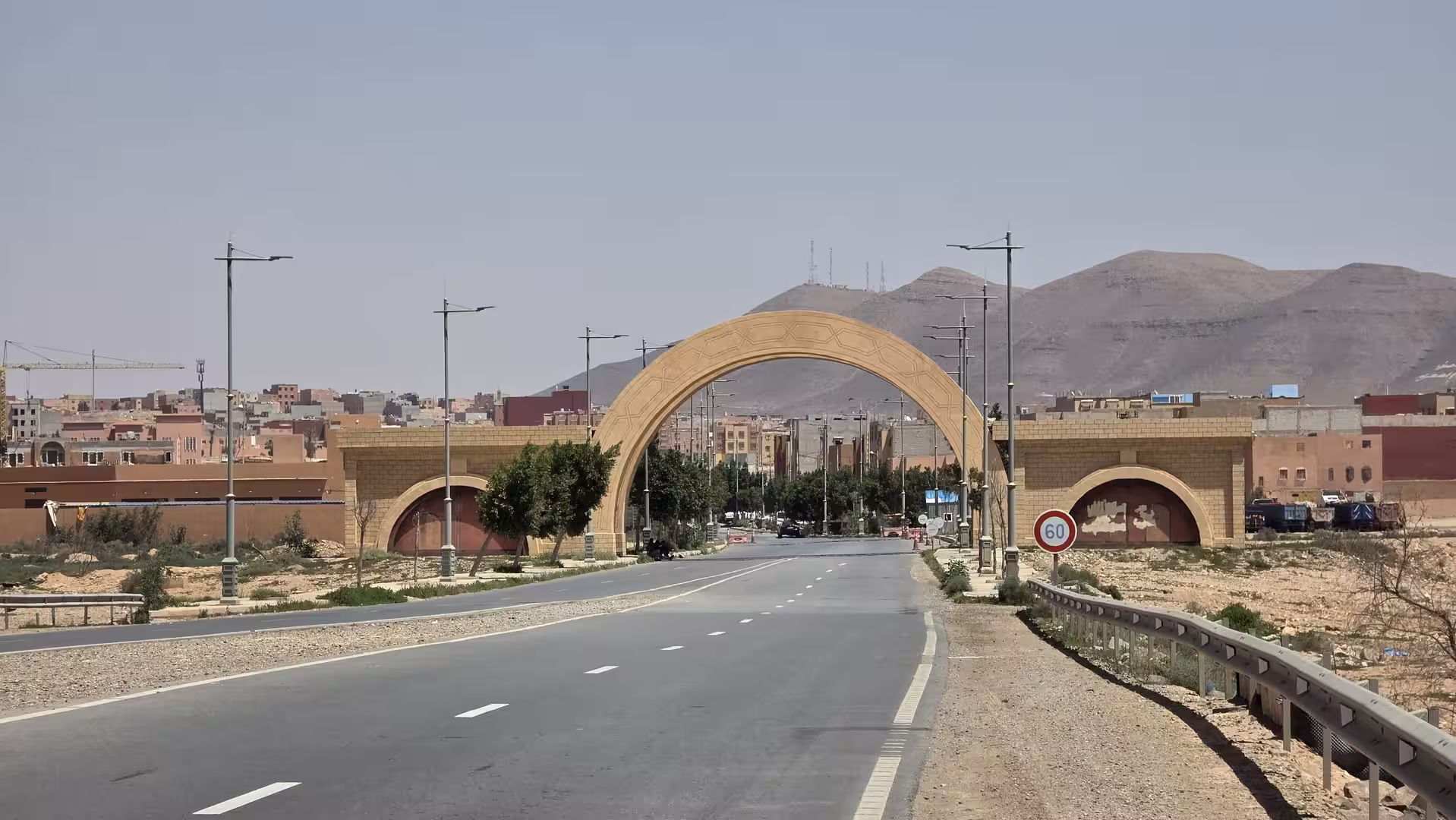
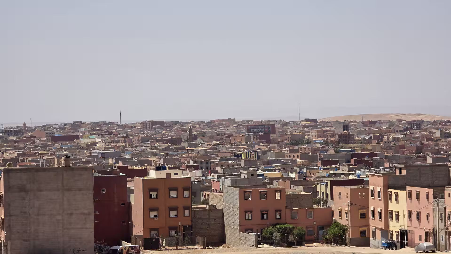
Guelmim appeared as the next major stage. As on the earlier route southward, it functioned as a gateway between different Moroccan landscapes. To the south and west lie the open desert and Atlantic routes; to the north and east begin the more broken landscapes of the Anti-Atlas and the inland south. Passing the Guelmim region changed the character of the day again. The route was no longer simply retracing the Atlantic road. It was entering a new chapter.
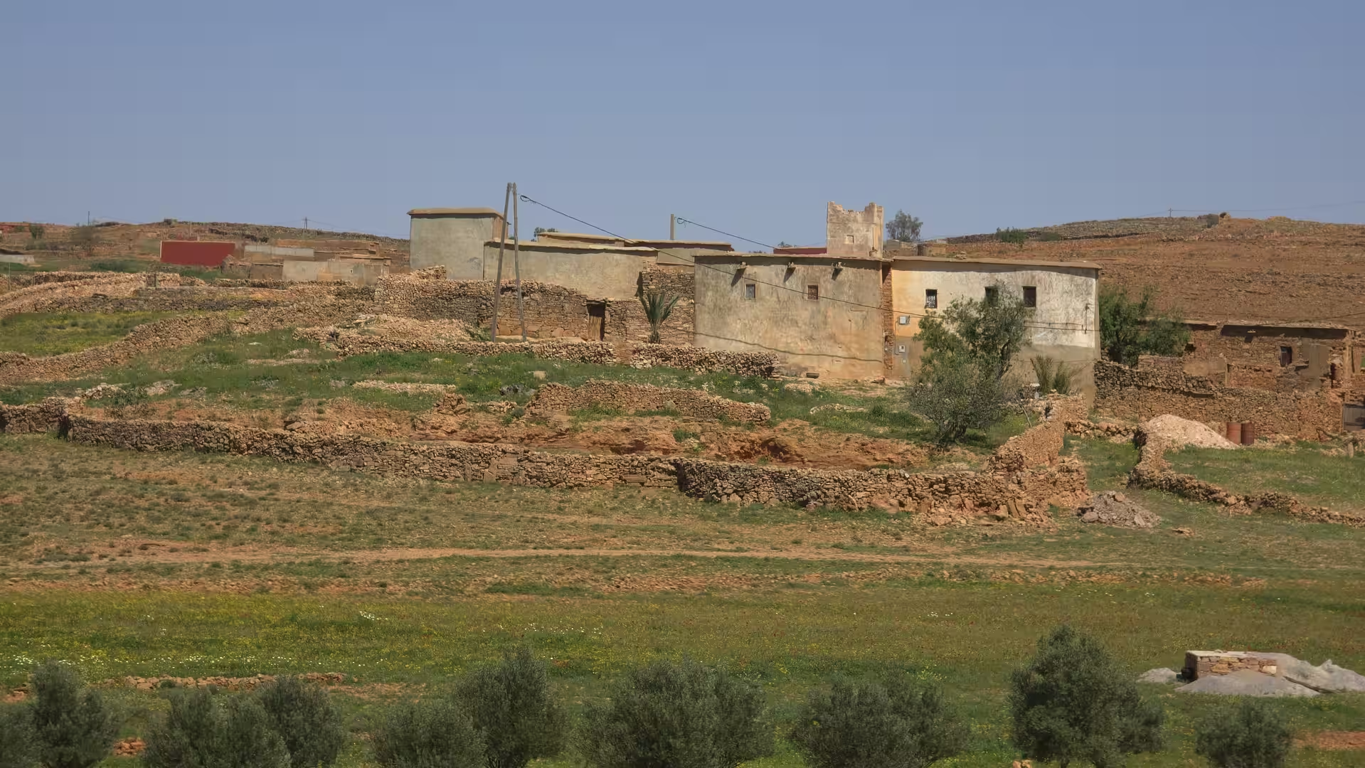
After Guelmim, the journey continued northeast toward Bouizakarne and the Anti-Atlas foothills. This was one of the most important transformations of the day. The elevation began to increase more clearly. The low coastal plains gave way to more rugged inland terrain. The road climbed from near sea level into higher country, and the landscape became more structured by hills, ridges and valleys.
The stop pattern also reflected the change in the journey. A short pause occurred after the Guelmim region, and another around the transition toward the mountains. These were not long interruptions, but they marked the shift from fast, open-road travel to a more demanding inland route. The road was no longer just covering distance across open plains. It was beginning to climb into the Anti-Atlas.
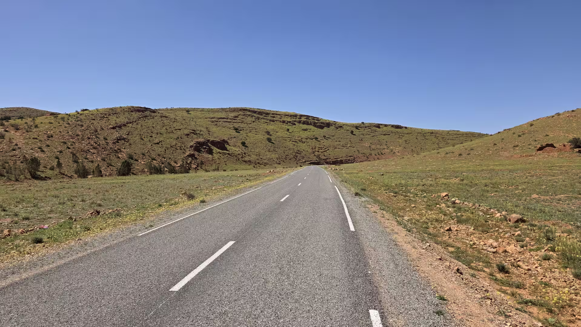
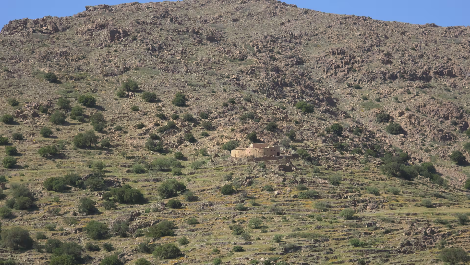
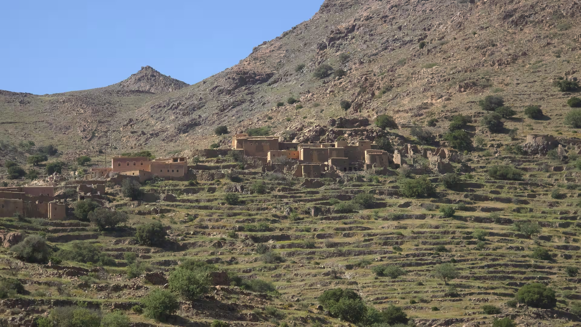
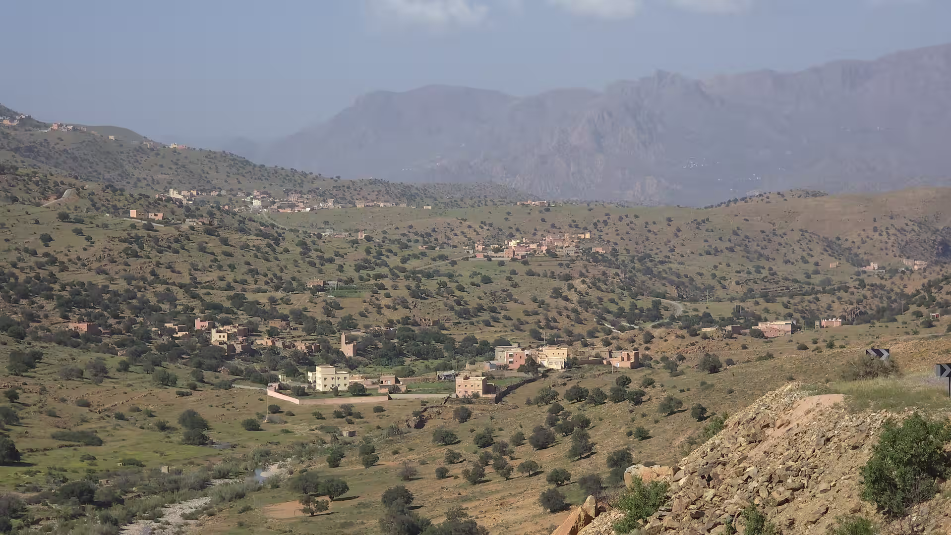
The Anti-Atlas introduced a completely different atmosphere from the Atlantic Sahara. After several days of low coastal roads and desert plains, the mountains felt compact, rugged and visually rich. The road rose steadily, and the GPS track reached elevations above 1,000 meters. The highest point of the day was around 1,330 meters, which means that the journey climbed more than 1,300 meters from the lowest coastal sections to the mountain interior.
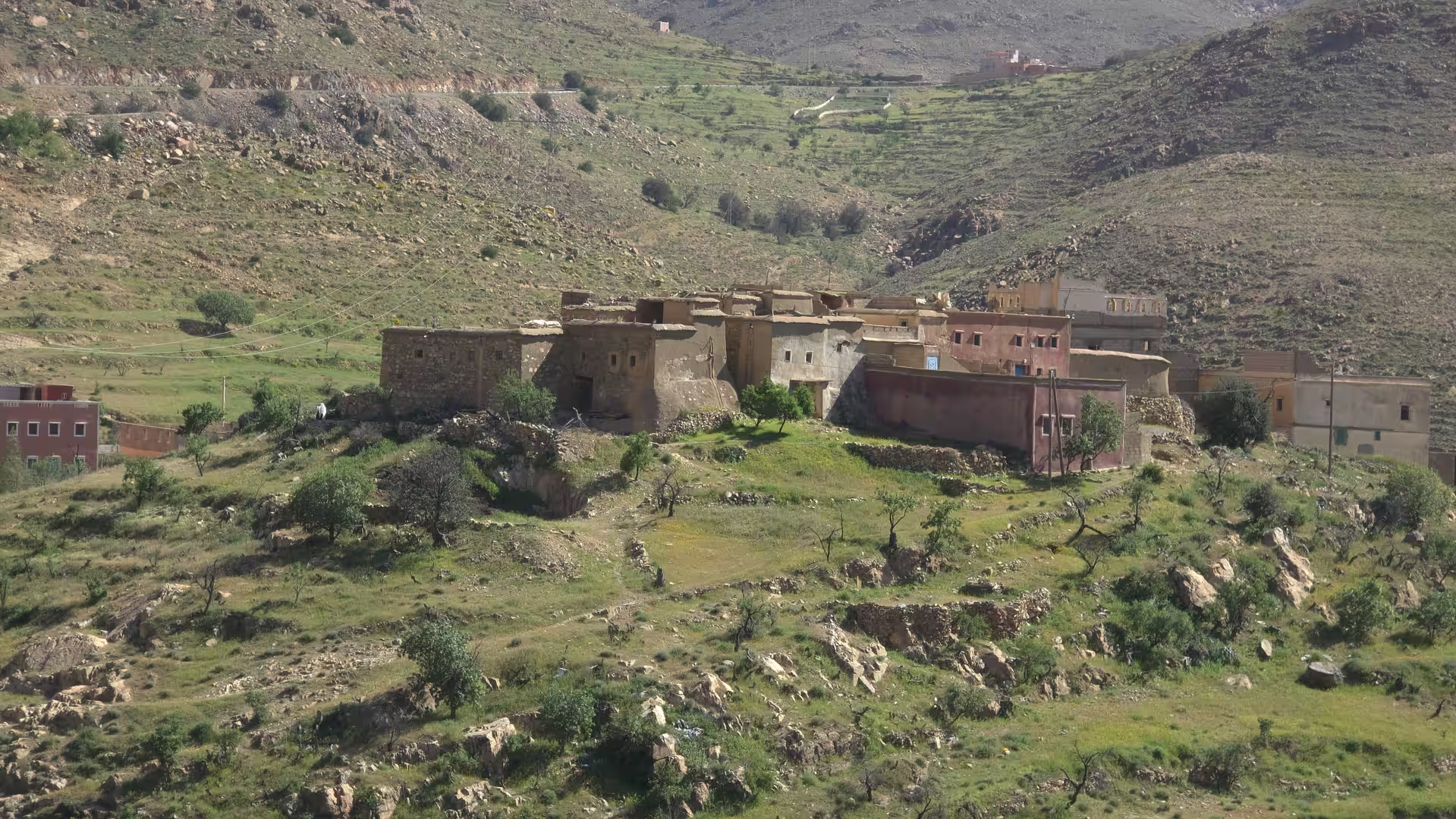
This ascent was one of the defining experiences of the day. It changed not only the scenery but also the mood of travel. The wide horizontal emptiness of the coast gave way to a more enclosed and varied mountain landscape. The road became more shaped by terrain. There were ridges, bends, dry valleys, rocky slopes and settlements placed within the mountain environment.
The contrast was striking. In the morning, the route had run through the Atlantic Sahara, low and open, with long views and sparse settlement. By late afternoon, it was climbing through the Anti-Atlas, where the land rises, folds and narrows around the road. This transition gave the route much of its narrative strength. It was not just a long drive; it was a movement from one geographic world into another.
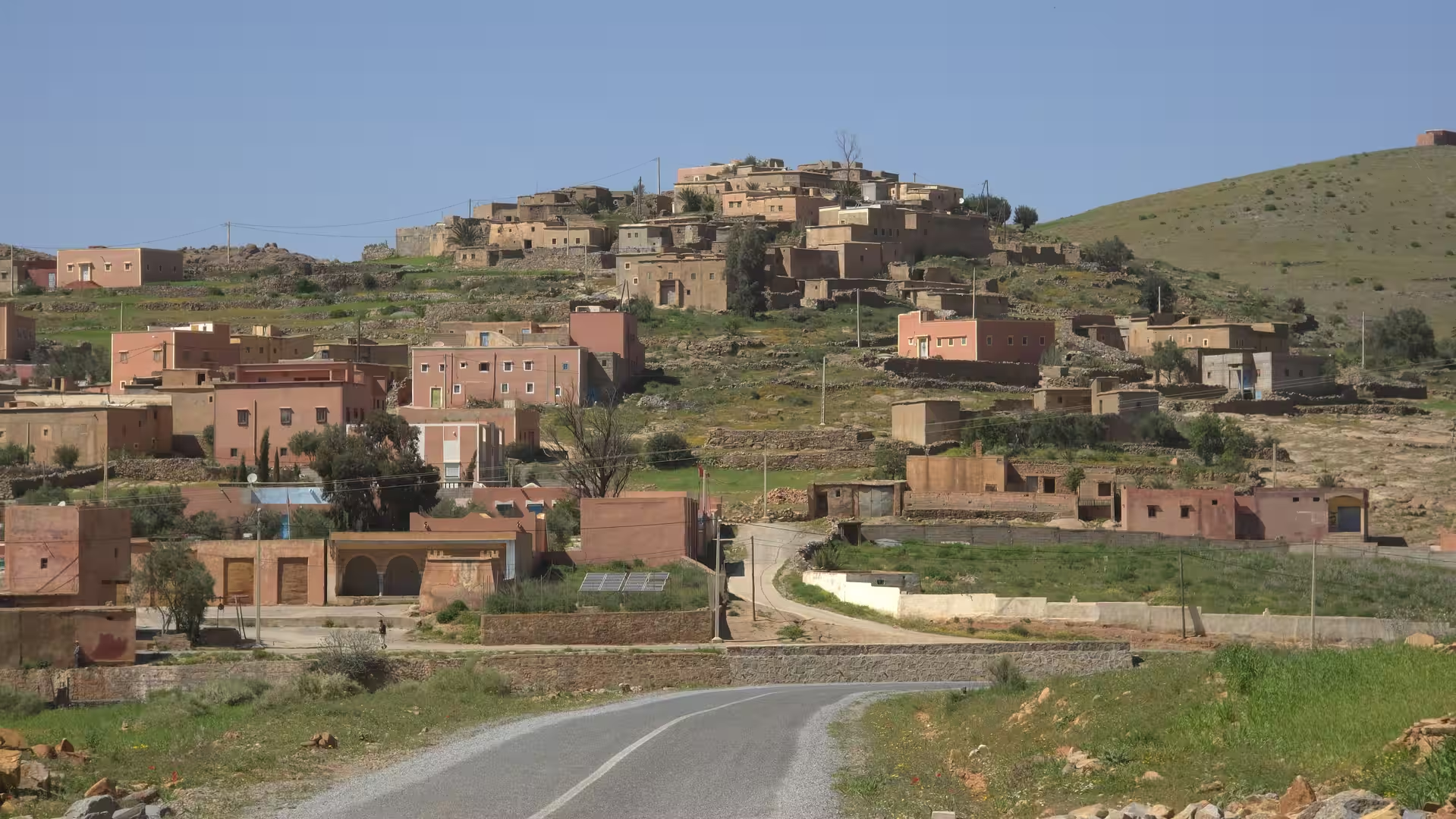
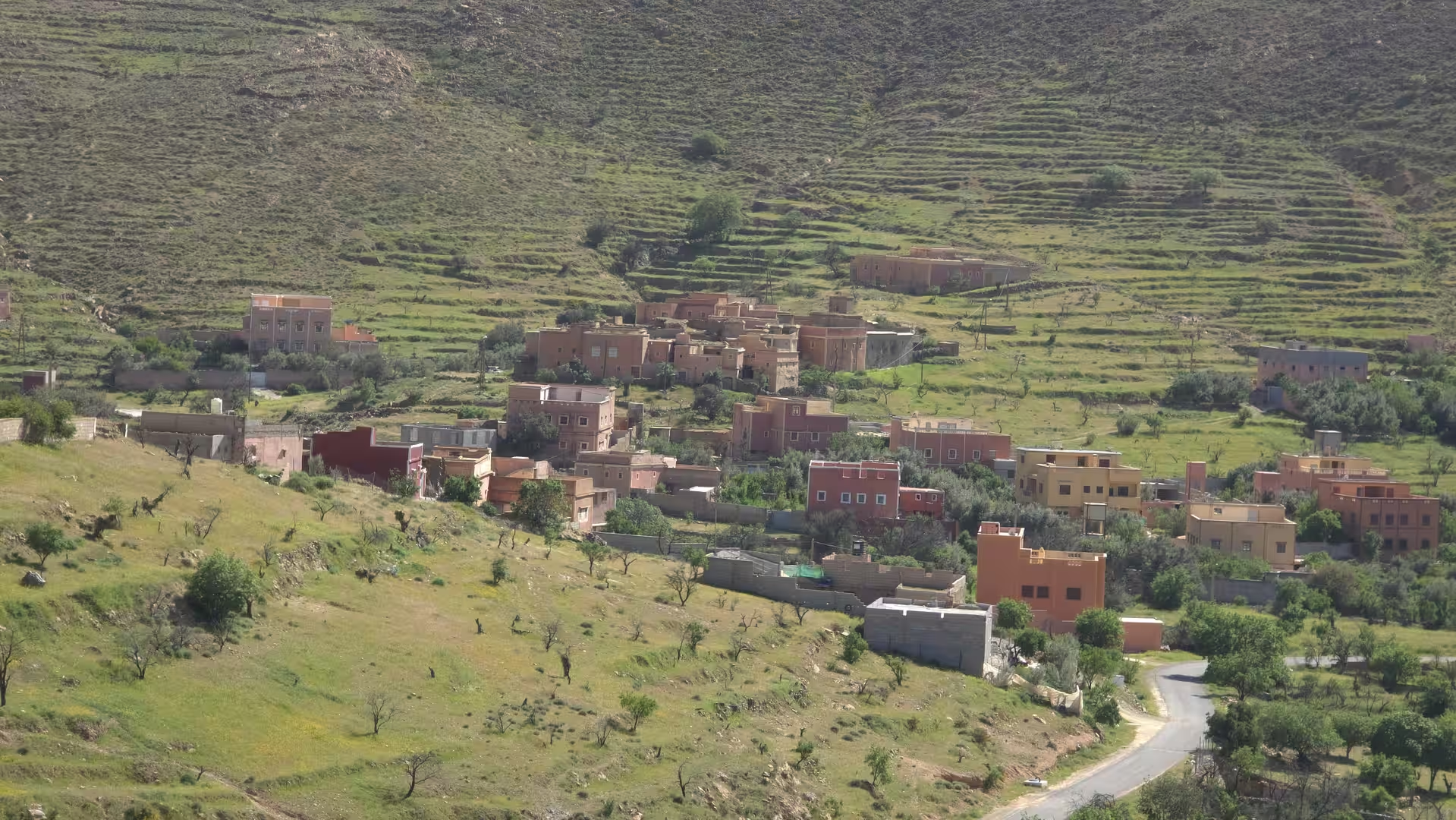
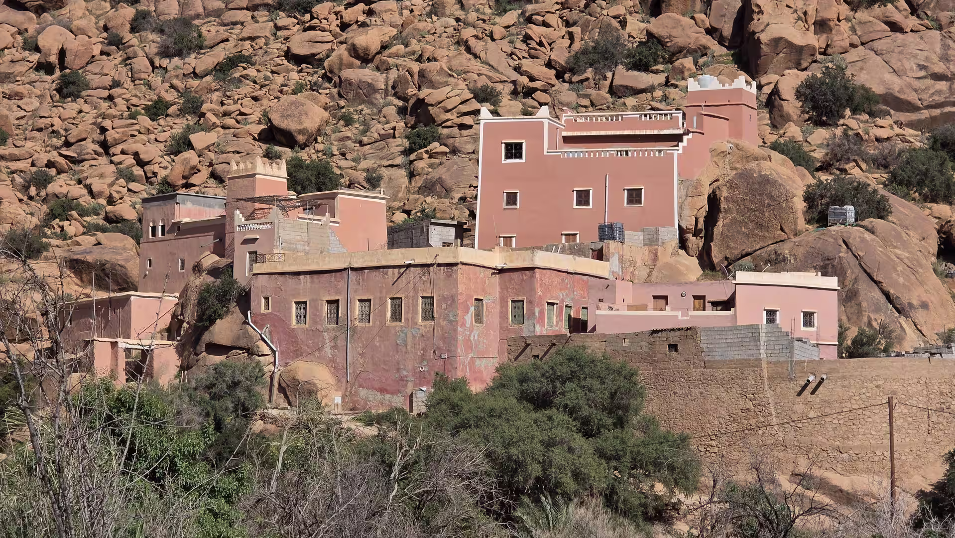
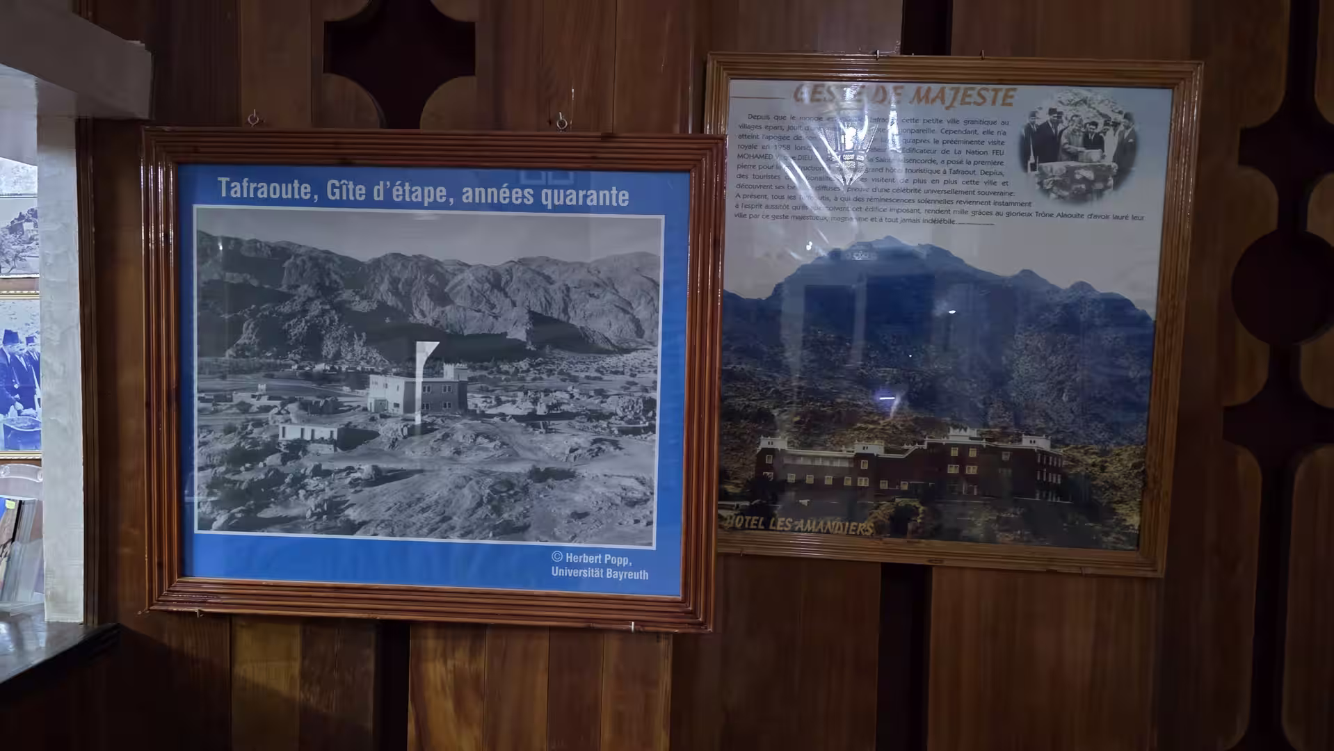
The final part of the route led toward Tafraoute. This region is one of the most distinctive areas of the Anti-Atlas, known for its dry mountain scenery, rocky landscapes, villages, palm groves and unusual granite formations. The approach to Tafraoute felt like the arrival in a completely different Morocco from the one left behind in Laayoune.
After the open desert road, the mountain setting around Tafraoute created a strong sense of place. The landscape became more intimate without losing its dry southern character. Instead of endless plains, there were slopes, rocks, valleys and mountain villages. The colors changed as well: from the pale coastal desert tones to the warmer and more mineral palette of the Anti-Atlas.
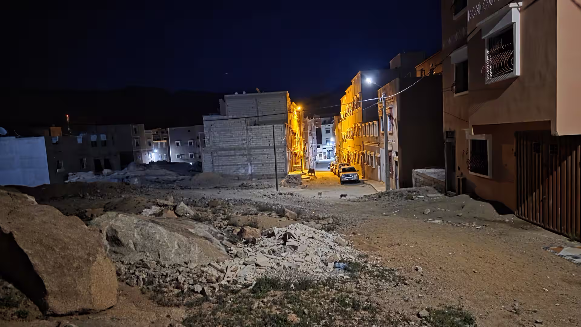
The route ended in Tafraoute in the late afternoon. By then, the journey had covered approximately 624 kilometers and taken almost ten hours from start to finish. It had begun near sea level in Laayoune, crossed the Atlantic Sahara road through the Tarfaya, Akhfenir and Tan-Tan regions, passed inland through Guelmim and Bouizakarne, and climbed into the Anti-Atlas mountains before reaching Tafraoute.
What made this journey memorable was the scale of the transition. The first half of the day was about distance, openness and the Atlantic Sahara. The second half was about leaving that low coastal world and entering the mountains. Few routes combine such different landscapes in a single stage. The road moved from near sea level to more than 1,300 meters in elevation, from sparse coastal-desert plains to rugged inland mountain terrain.
This was also a route with a clear narrative after the previous days. The journey had gone south to Dakhla, returned north to Laayoune, and now turned away from the Atlantic corridor toward the interior. It felt like leaving the long desert-ocean road behind and re-entering Morocco’s mountain landscapes. The route closed one chapter of the trip and opened another.
For travelers, this is a demanding but rewarding stage. The distance is long, the first sections are exposed and repetitive, and the later mountain roads require more attention. But the reward is a deep impression of Morocco’s geographic variety. In a single day, the road crosses the Atlantic Sahara, the southern inland corridor, the Guelmim region and the Anti-Atlas.
The strongest memory of the day is the change in landscape. The morning road north from Laayoune feels wide, low and endless. The middle of the route around Tan-Tan and Guelmim marks the transition back into inhabited southern Morocco. The final ascent into the Anti-Atlas brings height, curves, rock and mountain atmosphere. The arrival in Tafraoute feels like reaching a completely new travel world.
This route shows that Morocco’s south is not one single landscape. It is a sequence of different environments: ocean-influenced desert, dry inland plains, gateway towns, mountain foothills and high rocky valleys. Driving from Laayoune to Tafraoute makes these differences visible kilometer by kilometer.
By the end of the day, the journey had moved from the Atlantic Sahara into the Anti-Atlas. It was a long road stage, but it was also a powerful geographic crossing: from desert coast to mountain country, from Laayoune to Tafraoute, from open horizon to rocky valleys.