2022 Stockholm
28 August 2022



























Journal Notes
General
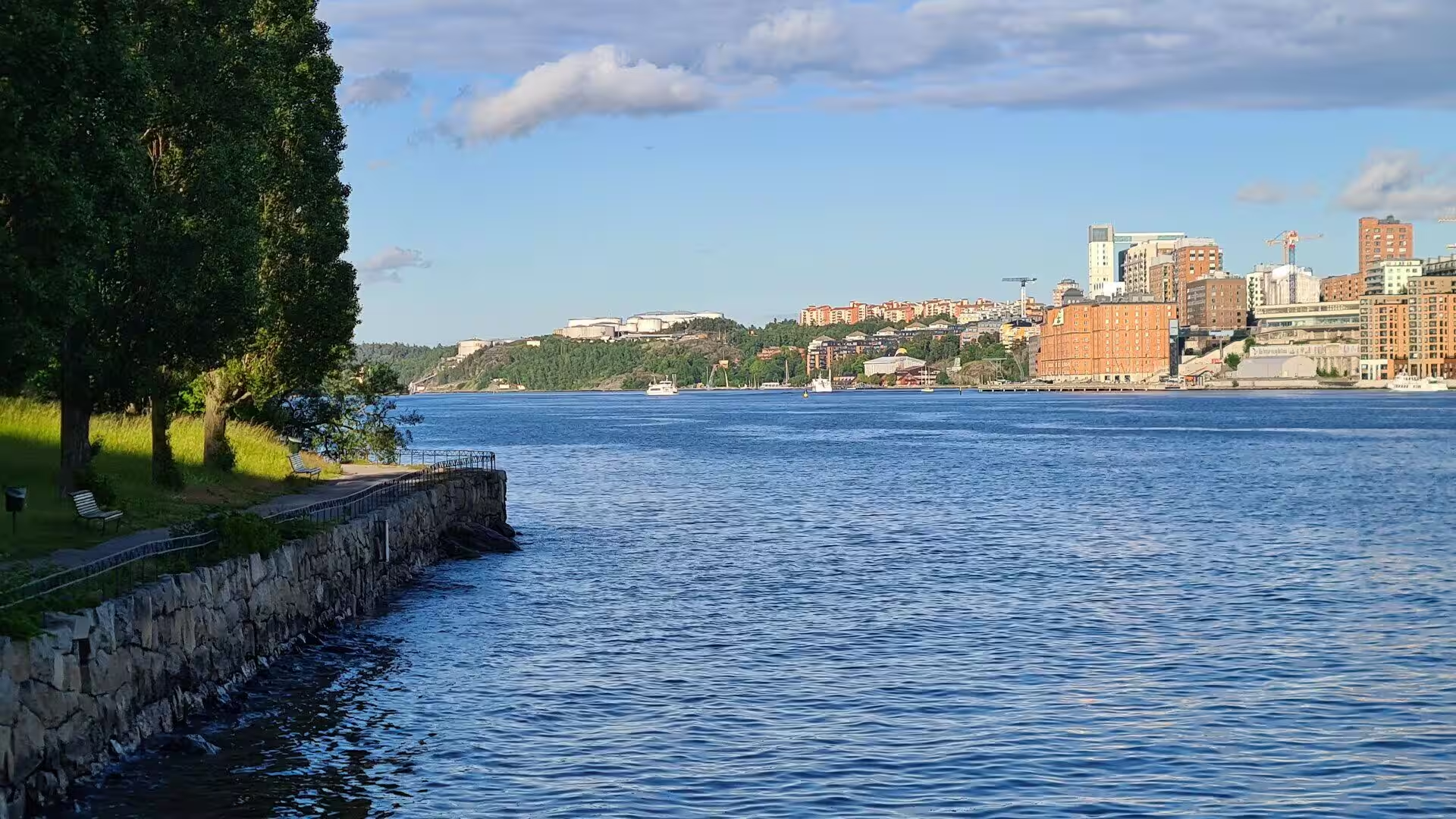
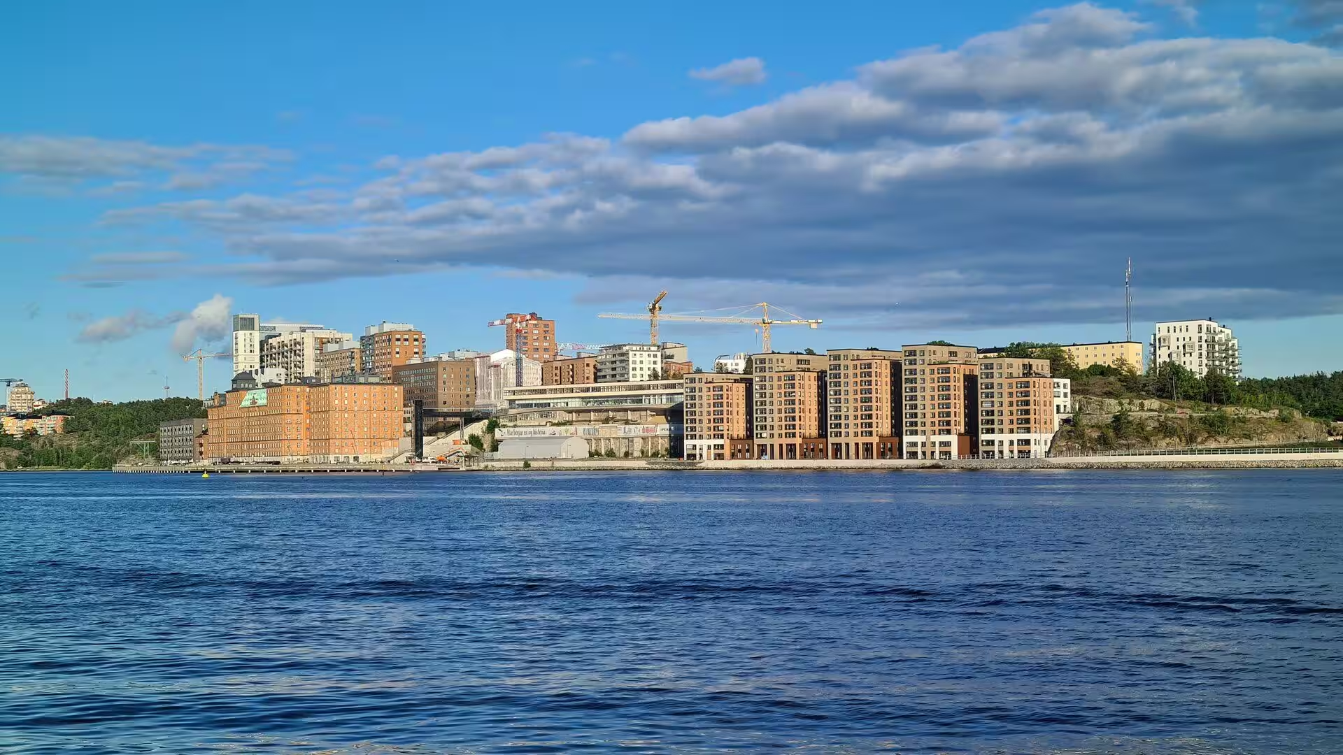
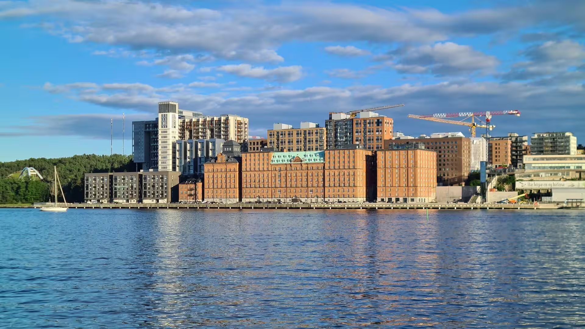
Stockholm is the capital and most populous city of Sweden and the largest urban area in the Nordic countries. About one million people live in the municipality, 1.6 million in the urban area and 2.5 million in the metropolitan area, and the city serves as the seat of Stockholm County. It stretches across fourteen islands at the point where Lake Mälaren flows into the Baltic Sea, and outside it, to the east and along the coast, lies the island chain of the Stockholm archipelago.
The area has been settled since the Stone Age, in the sixth millennium BC, and Stockholm was founded as a city in 1252 by the Swedish statesman Birger Jarl. It is the cultural, media, political and economic centre of the country, and the Stockholm region alone accounts for over a third of Sweden’s gross domestic product and ranks among the ten European regions with the highest product per head. The city is classified as an Alpha minus world city, the largest in Scandinavia.
The city carries several of the country’s institutions and ceremonies. It hosts the annual Nobel Prize ceremonies in the Stockholm Concert Hall and the banquet that follows in the Stockholm City Hall, and it is home to several of the highest ranking universities of Europe, among them the Karolinska Institute for medicine and the KTH Royal Institute of Technology. The Vasa Museum is the most visited museum in Scandinavia, and the metro, opened in 1950, is known for the decoration of its stations and has been called the longest art gallery in the world.
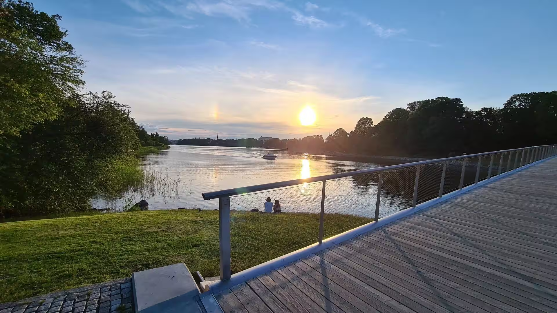
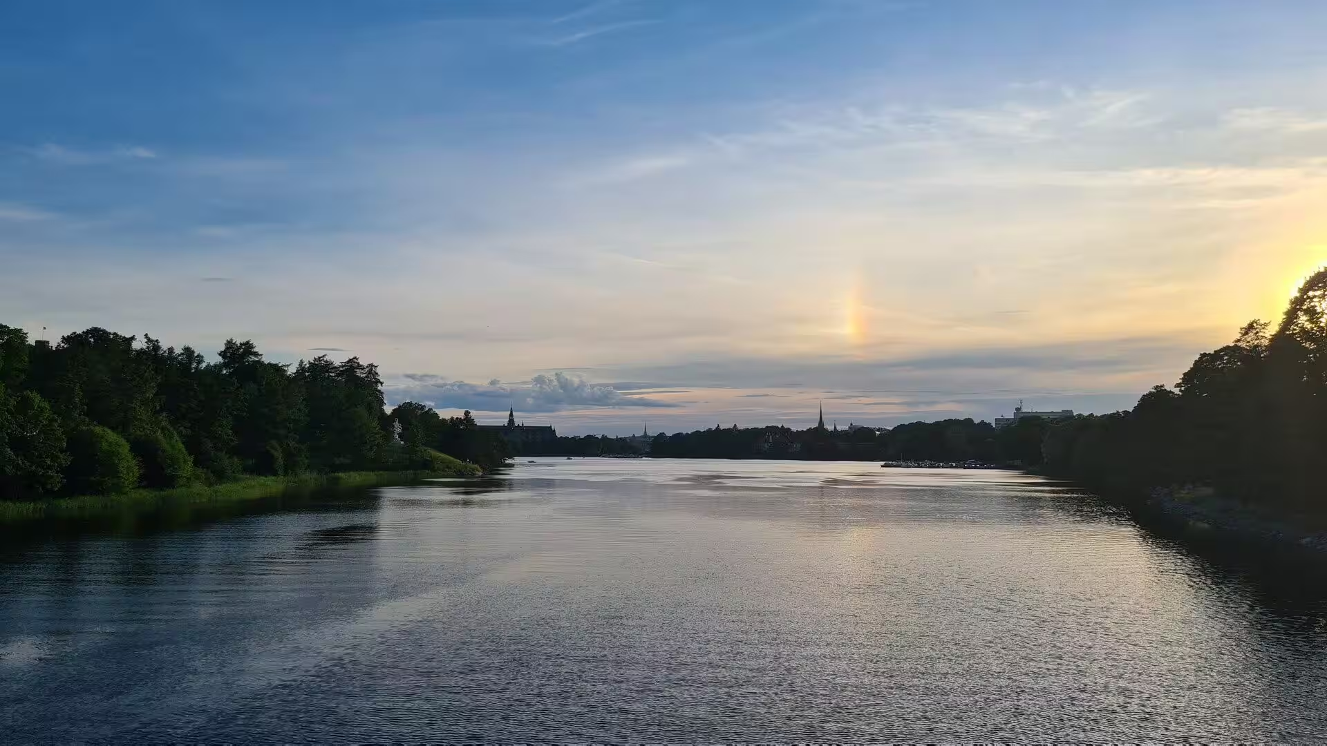
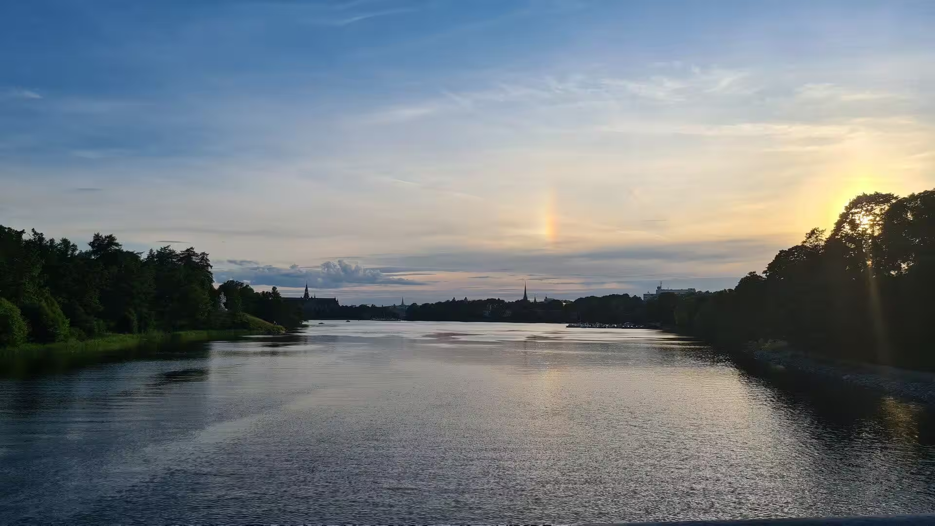
The water is what gives the city its shape. Lake Mälaren is the third largest freshwater lake in Sweden after Vänern and Vättern, covers 1,140 square kilometres, reaches a depth of 64 metres and spans 120 kilometres from east to west. It drains from the south west to the north east into the Baltic Sea through its natural outlets Norrström and Söderström as it flows around the island of Stadsholmen, and through the artificial Södertälje Canal and the Hammarbyleden waterway. Its easternmost bay in central Stockholm is called Riddarfjärden, and the lake itself lies in Svealand between the provinces of Uppland, Södermanland and Västmanland.
The climate of Stockholm is humid continental in the zero degree isotherm and borders on an oceanic climate in the minus three degree isotherm, so that winters are cold while average temperatures stay above freezing for much of the year and summers are pleasantly warm, with precipitation throughout. Because of the high northerly latitude the length of the day varies enormously, from more than eighteen hours around midsummer to only about six in late December, and the nights from late May until mid-July are never completely dark even when the sky is cloudy. With about 1,900 hours of sunshine a year the city is one of the sunniest in northern Europe, and it has the warmest July of the Nordic capitals.
History
The place appears in the Norse sagas as Agnafit and in Heimskringla in connection with the legendary king Agne, and the trading centre of Birka, active from about 790 to 975 and lying near the later city, was one of the major ports of the Viking Age. Sigtuna, which still exists, dominated the region from about 1000 to 1240, and Stockholm can be understood as the capital of that lake district, moved once more to a better position. The name is usually read as log islet, after the log booms driven into the strait north of the present old town that dendrochronological examinations in the late 1970s dated to around the year 1000; the first part may equally come from an older German word meaning fortification, and the second part means islet.
The name Stockholm first appears in documents in letters written by Birger Jarl and King Valdemar in 1252, and German merchants invited by Birger Jarl played an important part in the foundation. There was no regular town plan, which suggests a settlement that grew of its own accord, and according to the chronicle of Erik the city was founded to protect Sweden against seaborne raids from the east after Sigtuna had been plundered in 1187. By the end of the thirteenth century Stockholm had become the largest city in Sweden as well as its political centre and royal residence, and it has remained the largest and most important Swedish city ever since.
Gamla stan, the old town, was for centuries the whole of the city. It consists mainly of the island of Stadsholmen together with the surrounding islets of Riddarholmen, Helgeandsholmen and Strömsborg, and it was officially called Staden mellan broarna, the town between the bridges, until 1980. Its approximately 3,000 inhabitants live among buildings that shaped the history of Swedish architecture, among them the royal palace, the Parliament House, the Tessin Palace, the Stock Exchange building, the Bonde Palace, now the seat of the Supreme Court, and the House of Nobility, which housed the parliament for many years.
Under Gustav Vasa and his sons the city lost much of the independence it had enjoyed in the Middle Ages. The king restored the privileges of Stockholm after his siege of the town, but kept control of the elections of aldermen and magistrates, and the council remained escorted by a royal representative; the number of officials grew so that the management of the city became more professional. Gustav Vasa invited the clergyman Olaus Petri to become city secretary, and with the two working side by side the ideas of the Protestant Reformation were introduced quickly and sermons were held in Swedish.
The seventeenth and nineteenth centuries reshaped the town again. After the Thirty Years’ War Sweden was determined not to repeat the embarrassment of a capital that still looked medieval, and ambitious city plans were drawn for the ridges around the old town; Chancellor Axel Oxenstierna wrote in 1636 that developing the capital was a precondition of the nation’s strength. In the second half of the nineteenth century Stockholm regained its leading economic role, some 800 new buildings went up between 1850 and 1870, gas works, sewers and running water arrived, streets such as Skeppsbron and Strandvägen were paved and the railway connected the city to the continent. In the twentieth century the inner city of Norrmalm went through the celebrated and criticised redevelopment that secured the geographical centre as the political and business centre, the municipal government moved into the newly built City Hall in 1923, the Stockholm International Exhibition followed in 1930, and in 1967 the city was integrated into Stockholm County.
Geology
The bedrock under Stockholm belongs to the Baltic Shield, also called the Fennoscandian Shield, a segment of the Earth’s crust that forms part of the East European Craton and covers a large part of Fennoscandia, north western Russia and the northern Baltic Sea. It consists mostly of Archean and Proterozoic gneisses and greenstone, it contains the oldest rocks of the European continent, and its crust is 250 to 300 kilometres thick. The shield is divided into five provinces, of which the Svecofennian province underlies the region around Stockholm.
The visible consequence of that history is granite, and lots of it. The landscape of the archipelago and of the city’s own shores is a granite landscape of bare rock, polished surfaces, fissures and low, rounded hills, and the same stone appears in the walls of the older buildings of the old town. Where the ice and the sea have worked on the joints of the rock, the result is the pattern of islands, skerries and channels that makes navigation in these waters so demanding and the views so distinctive.
The land here is still rising. During the last glacial period northern Europe was covered by an ice sheet up to three kilometres thick, whose weight depressed the crust, and since the ice retreated the surface has been rising again in a process known as post-glacial rebound or isostatic rebound. It proceeded by slow viscous flow at an exponentially decreasing rate, and typical uplift rates today are of the order of one centimetre per year or less, which is clearly shown by satellite measurements in northern Europe. Over the centuries this uplift has moved shorelines and settlement sites, and place names far inland still record positions that once lay on the water.
The Baltic Sea into which the lake drains is an arm of the Atlantic Ocean with a brackish character, fed by a large catchment and exchanging water only slowly through the Danish straits. Its topography and hydrography, with deep basins separated by shallow sills and a pronounced layering of salt and fresh water, control the oxygen and nutrient conditions of the whole region. That is why the sea reacts so sensitively to the nutrient loads of its catchment, and why its condition is a permanent subject of environmental policy in every country on its shores.
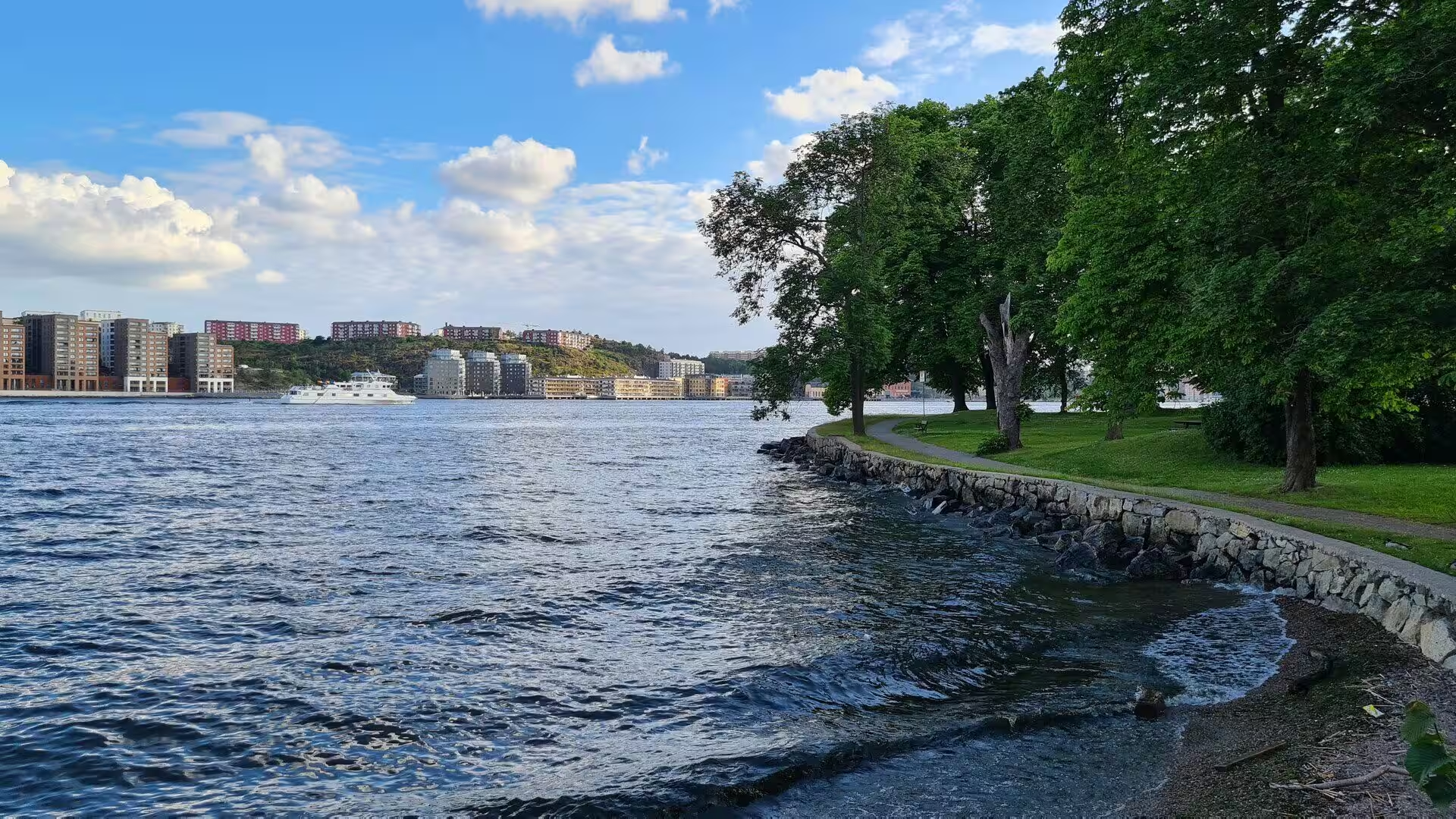
Lake Mälaren itself is a regulated water body whose level is managed to balance the interests of navigation, water supply, drainage and the shoreline, and its relation to the Baltic has been studied for a long time. Together with the smaller lakes, the canals and the many kilometres of shoreline inside the city, the lake gives Stockholm a water geography that is unusual for a capital: fresh water and brackish water meet within the built-up area.
Things to See
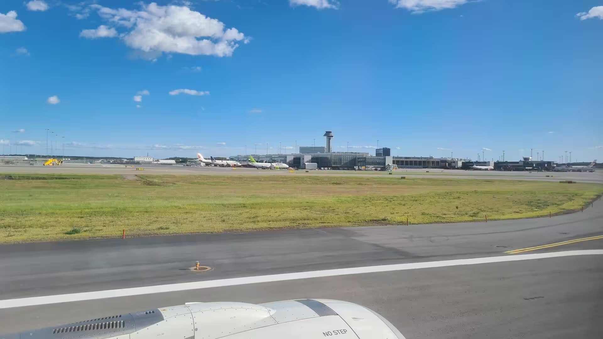
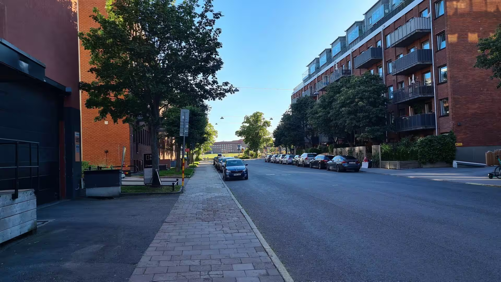
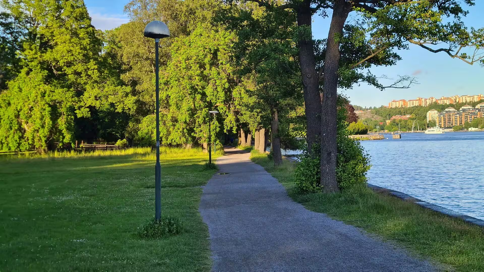
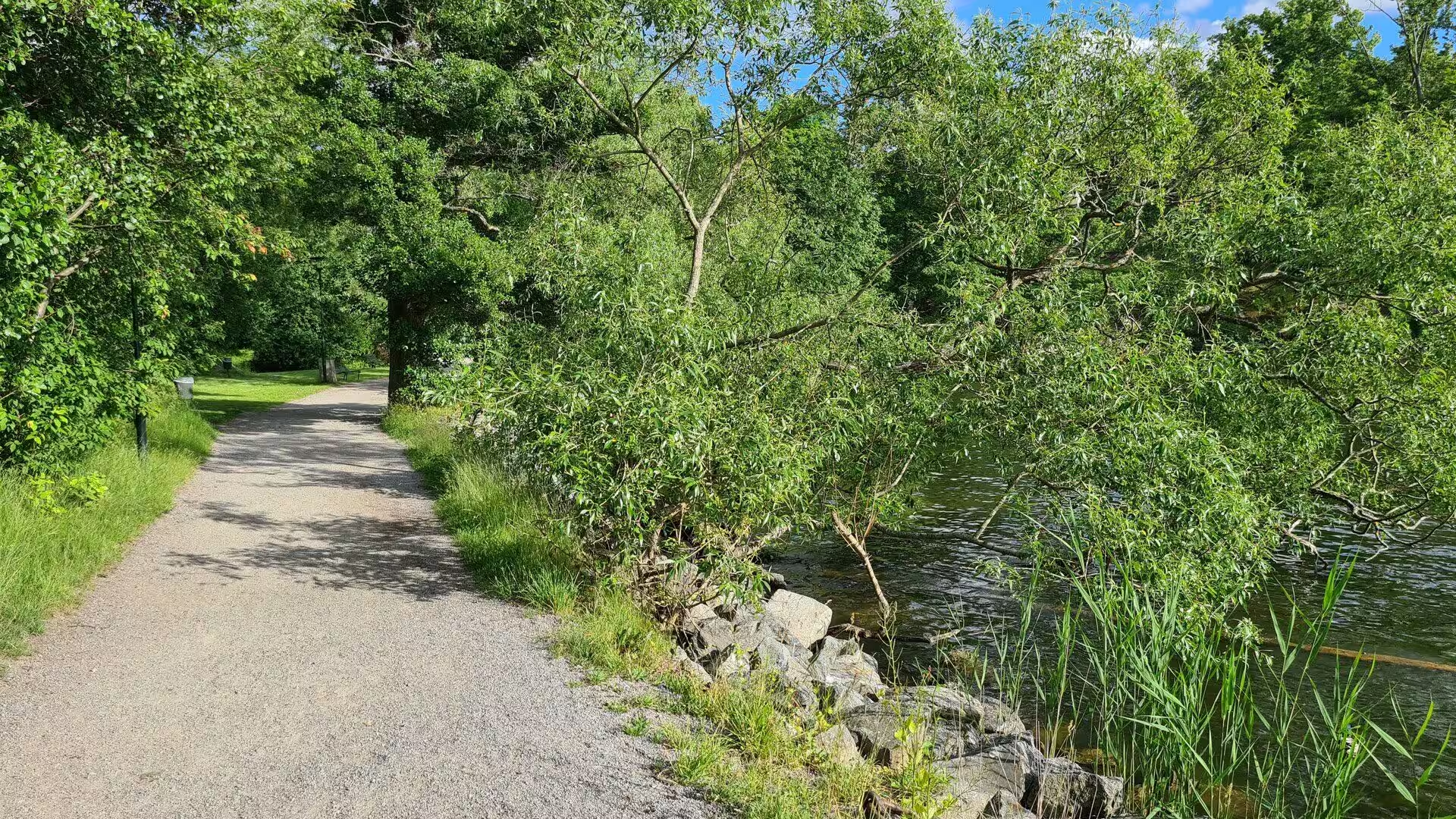
Most journeys to Stockholm begin at the airport outside the city, on the flat land of the Mälaren valley, and continue by the fast rail link into the centre. The first impression from the train or the road is of rock, water and forest in quick succession, with wooden and brick apartment blocks beside gravel paths, and of a city whose edges are never far from a shore.
The old town remains the heart of the visit. Gamla stan occupies the island of Stadsholmen and the islets around it, with the royal palace, the Parliament House and the House of Nobility standing within a few minutes of each other, and the narrow streets between them still following the irregular lines of a town that grew without a plan. The Stockholm Palace, or Royal Palace, is the official residence of the monarch and has stood in the same place by the Norrström since the thirteenth century; the king and queen use Drottningholm Palace as their usual residence, but the offices of the court and the representative rooms of the monarchy are here.
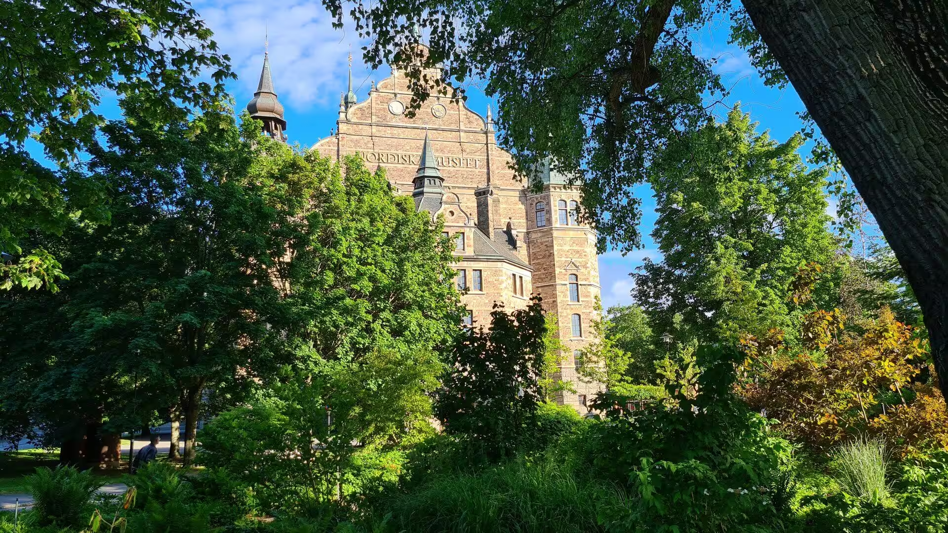
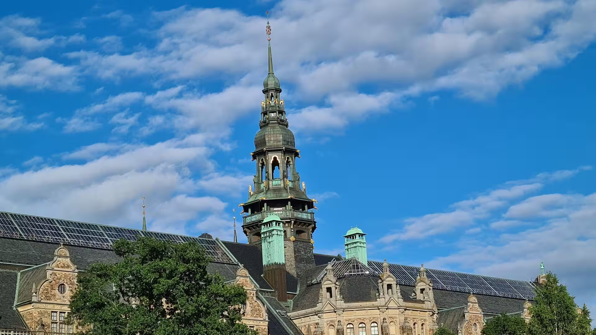
Djurgården, the island to the east of the centre, is one of the favourite recreation areas of the city and, for visitors, one of its principal destinations. It has belonged to the Swedish monarch since the fifteenth century and carries historical buildings and monuments, museums and galleries, the amusement park Gröna Lund, the open-air museum Skansen, small residential quarters, yacht harbours and long stretches of forest and meadow. The island attracts over ten million visitors a year, about half of them for the museums and the amusement park, and since 1995 it has formed part of the National City Park.
Skansen on Djurgården is the oldest open-air museum and zoo in Sweden. It was opened on 11 October 1891 by Artur Hazelius to show how people lived in the different parts of the country before industrialisation, at a time when the rural way of life was disappearing quickly. The name has become a generic term for open-air museums and collections of historic buildings, and for the reconstruction of vanished ways of life, far beyond Sweden.
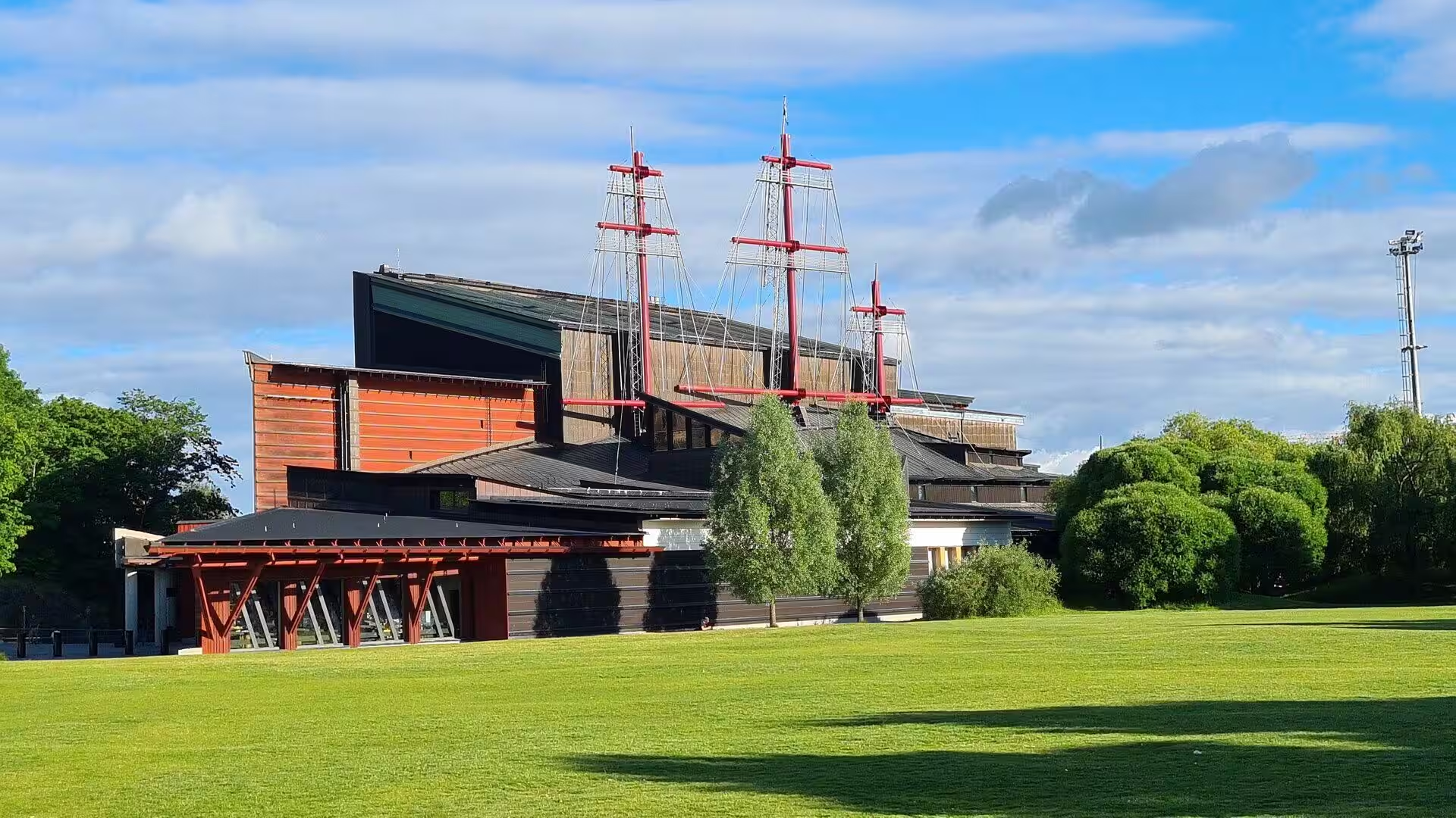
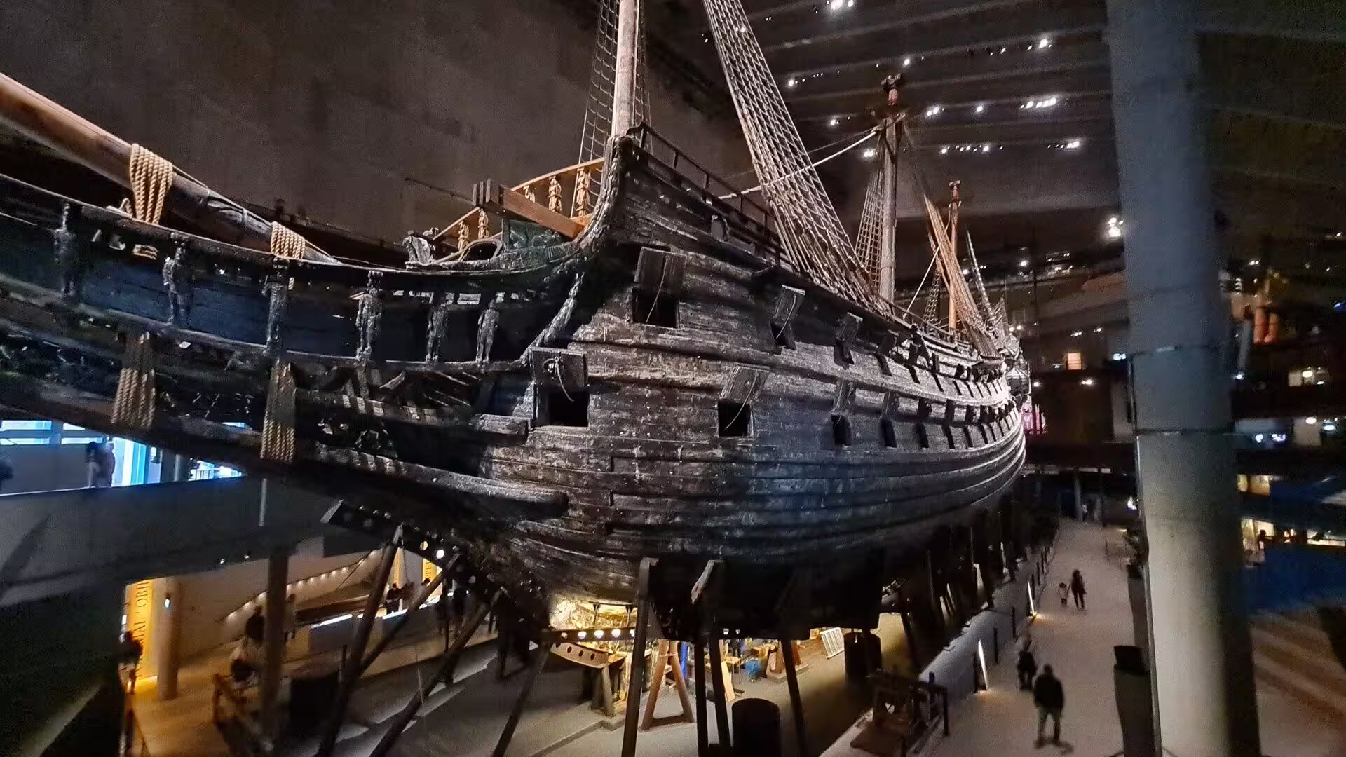
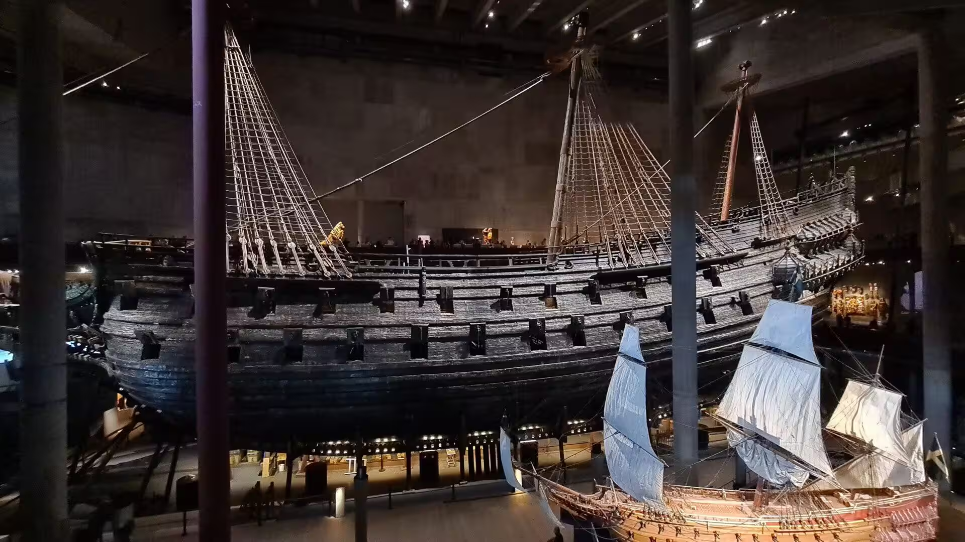
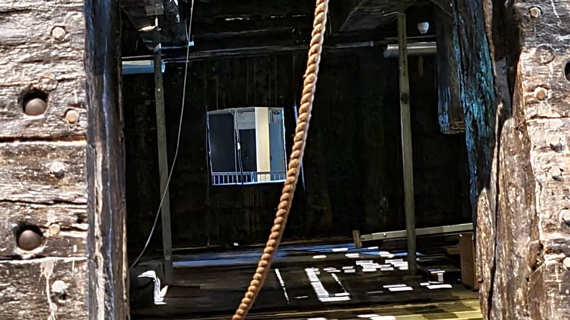
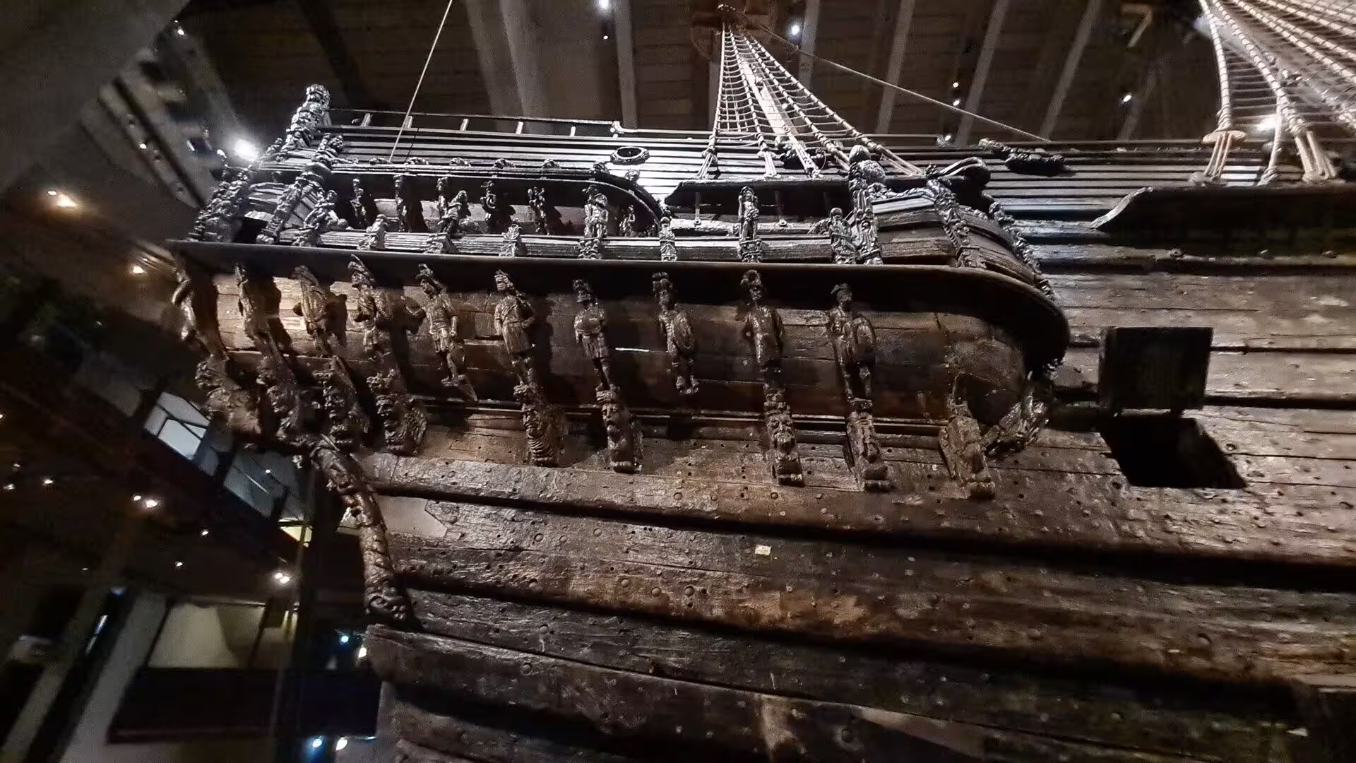
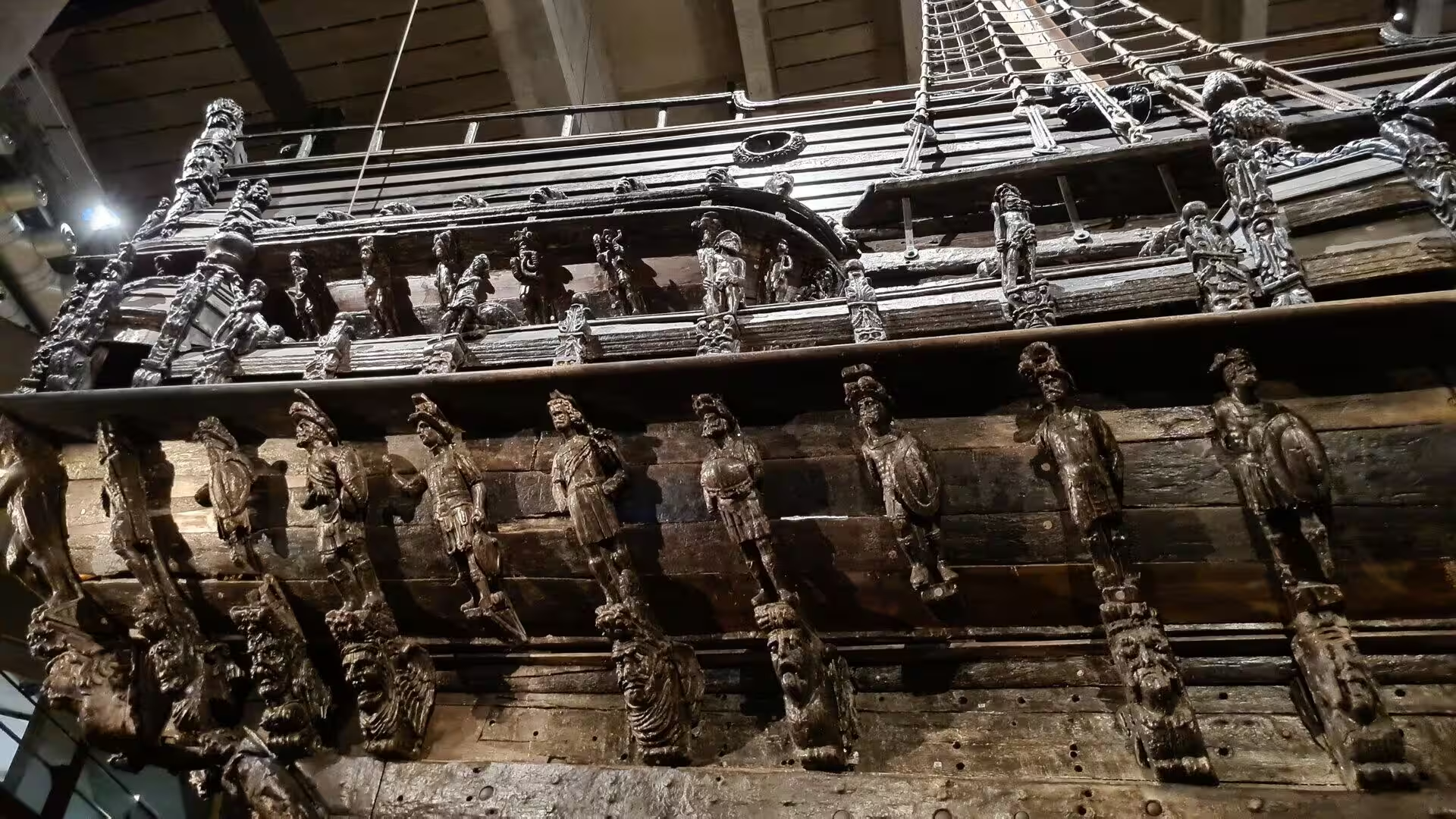
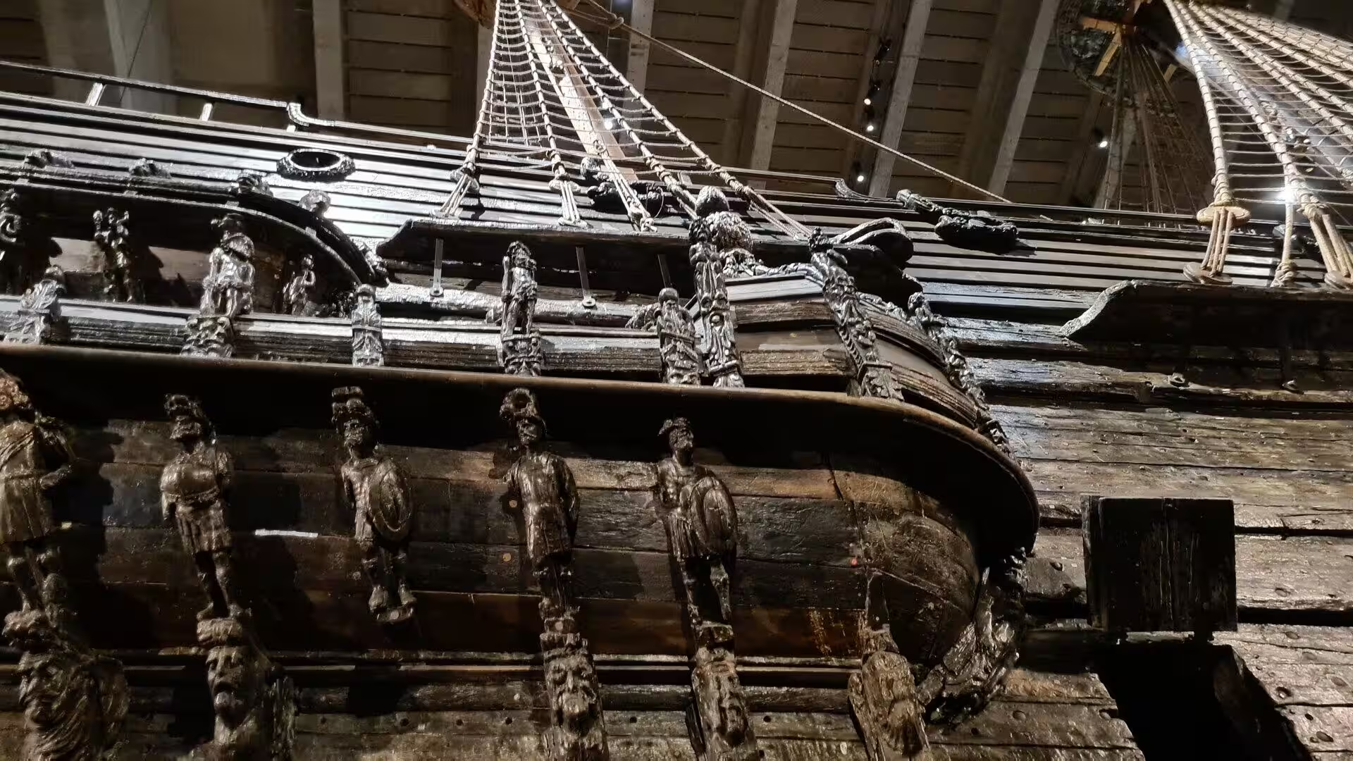
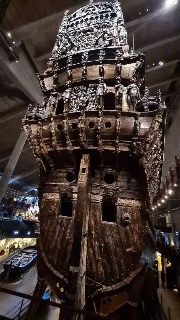
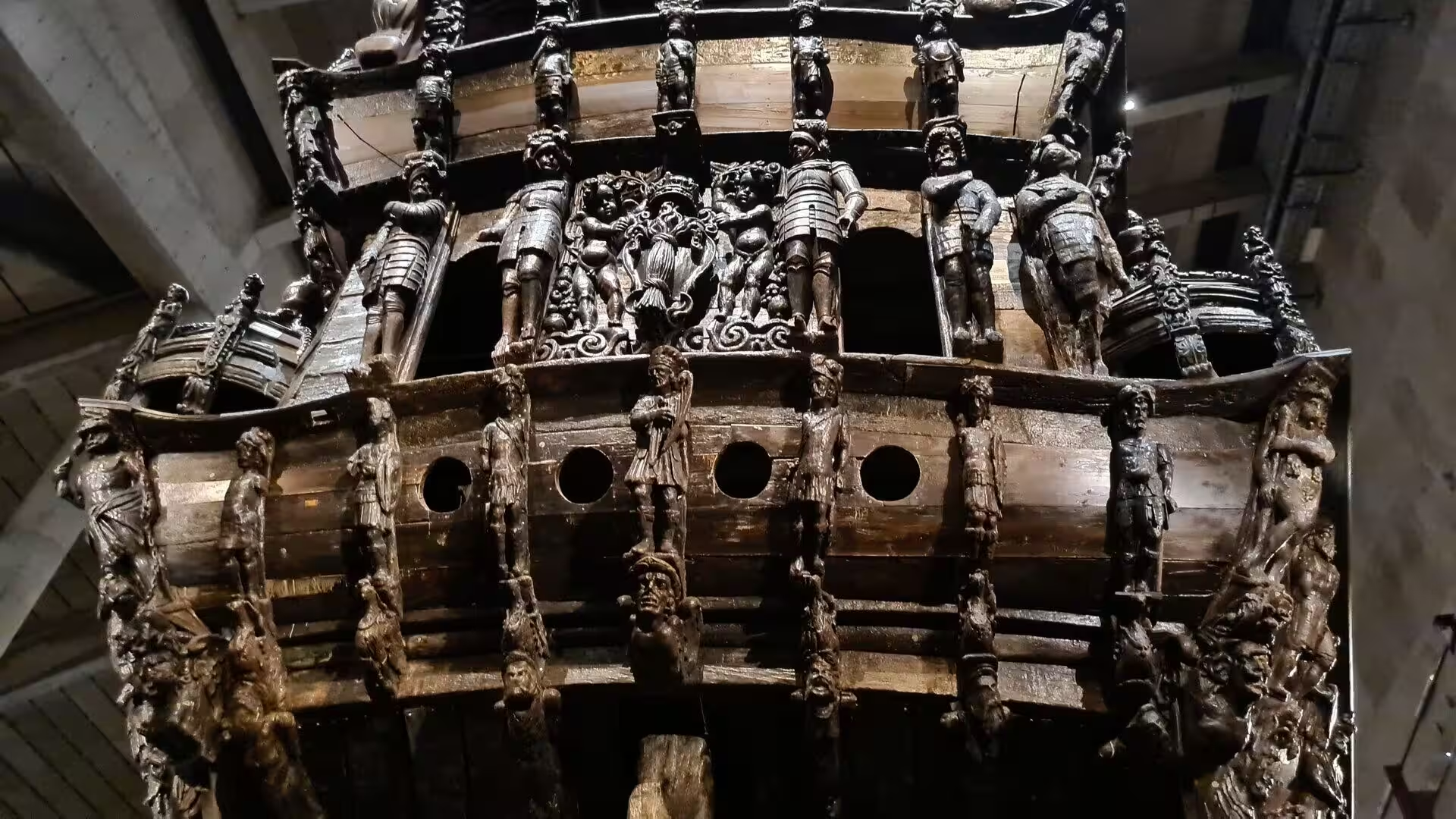
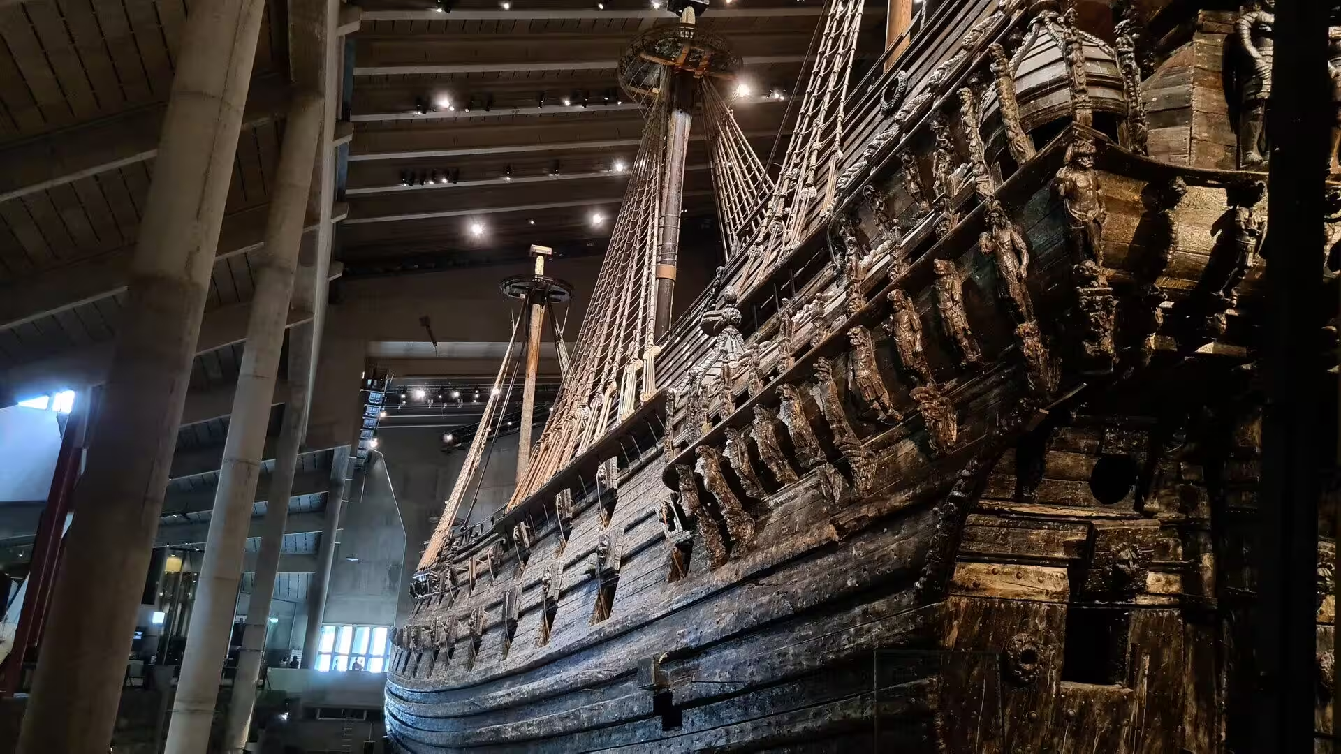
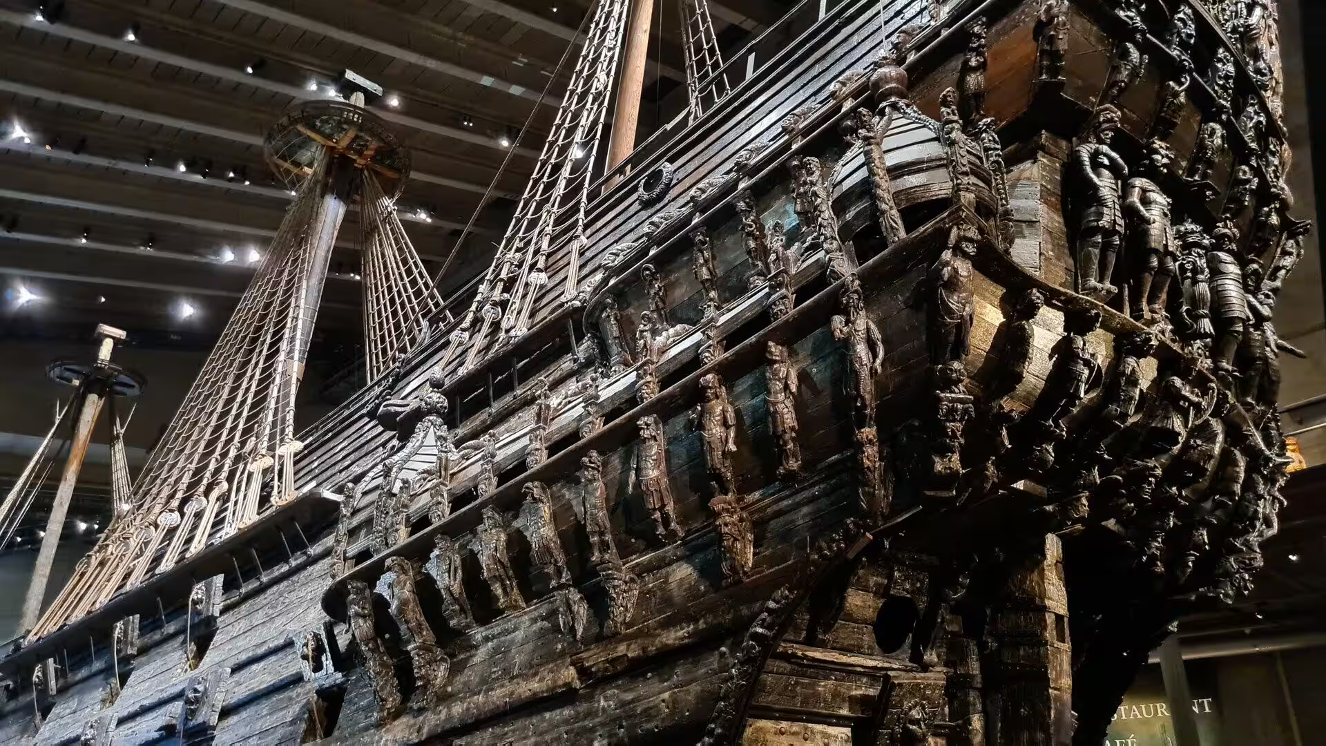
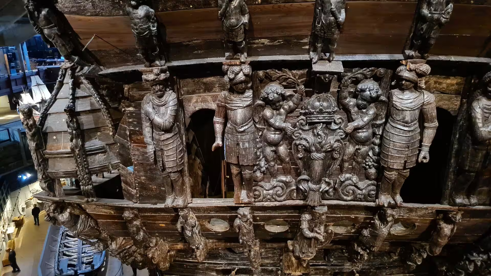
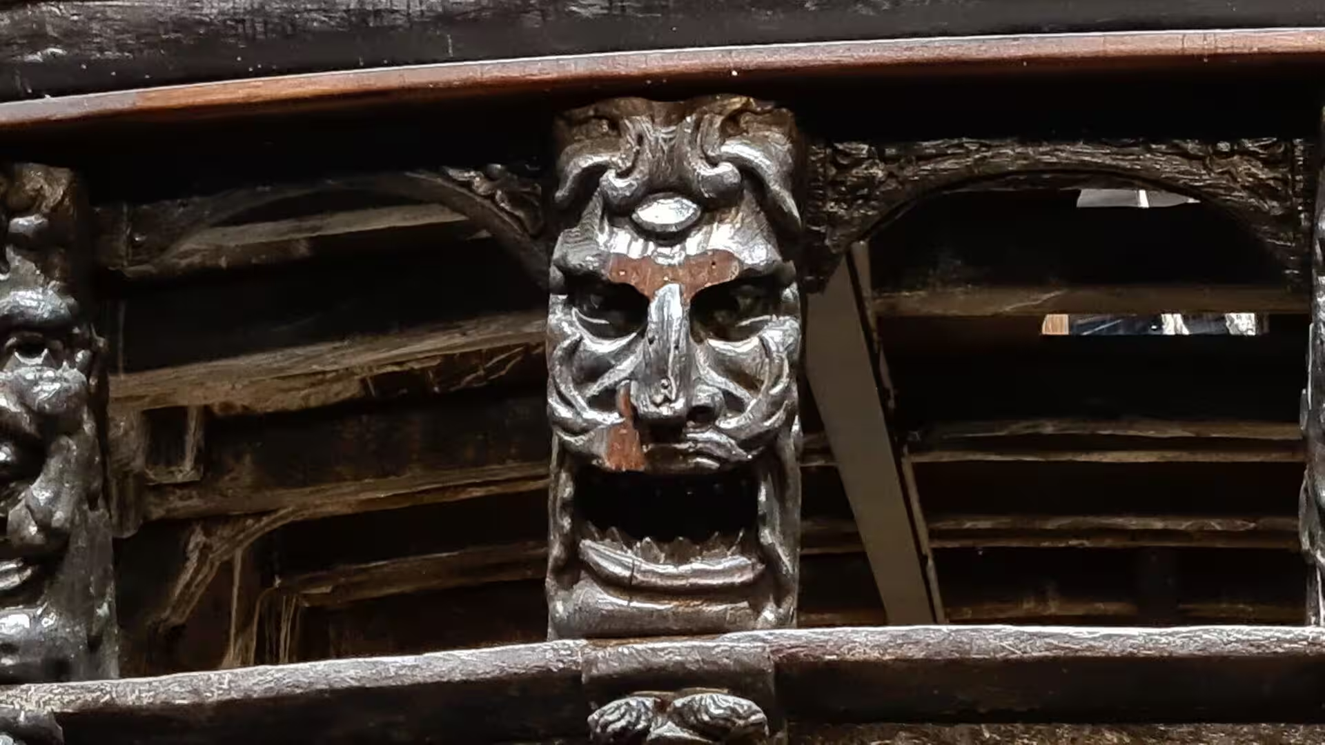
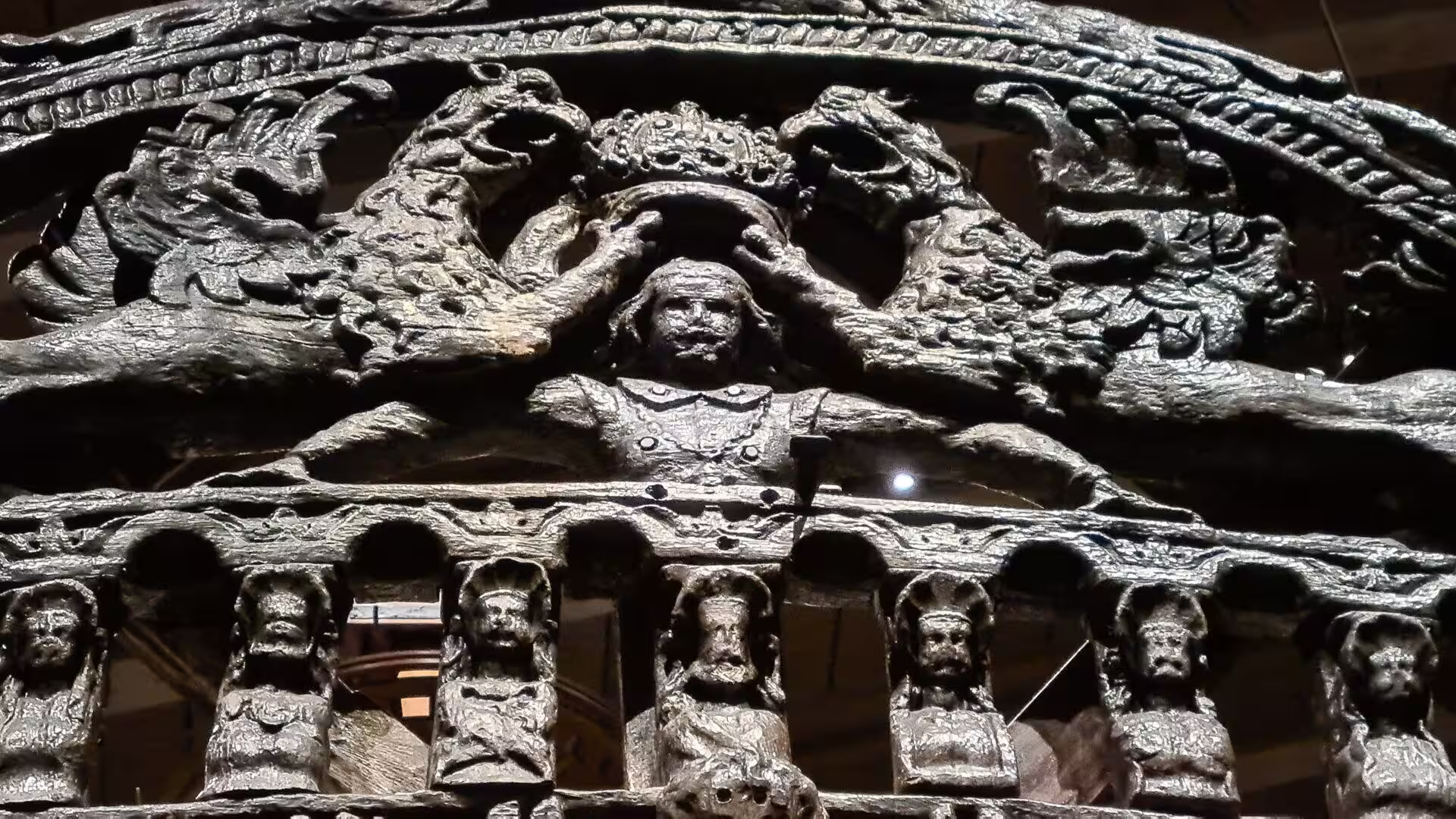
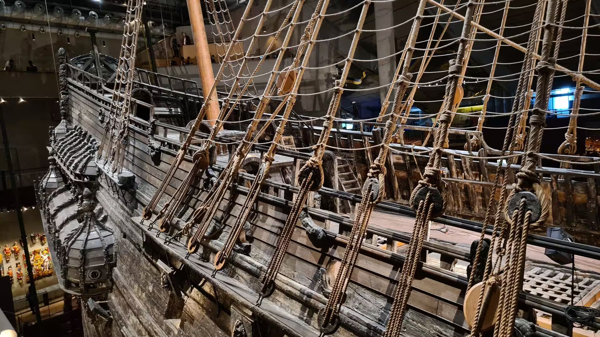
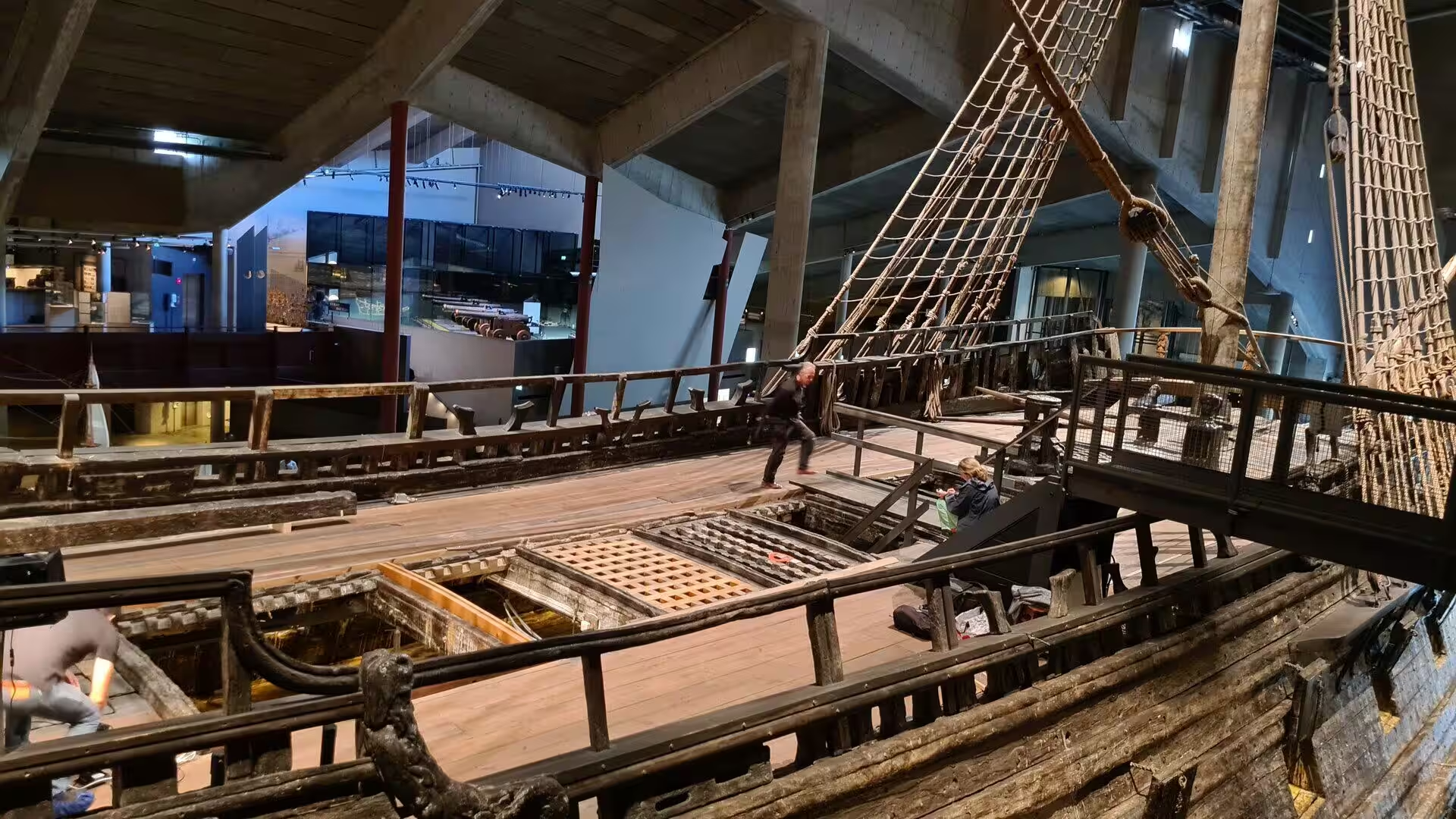
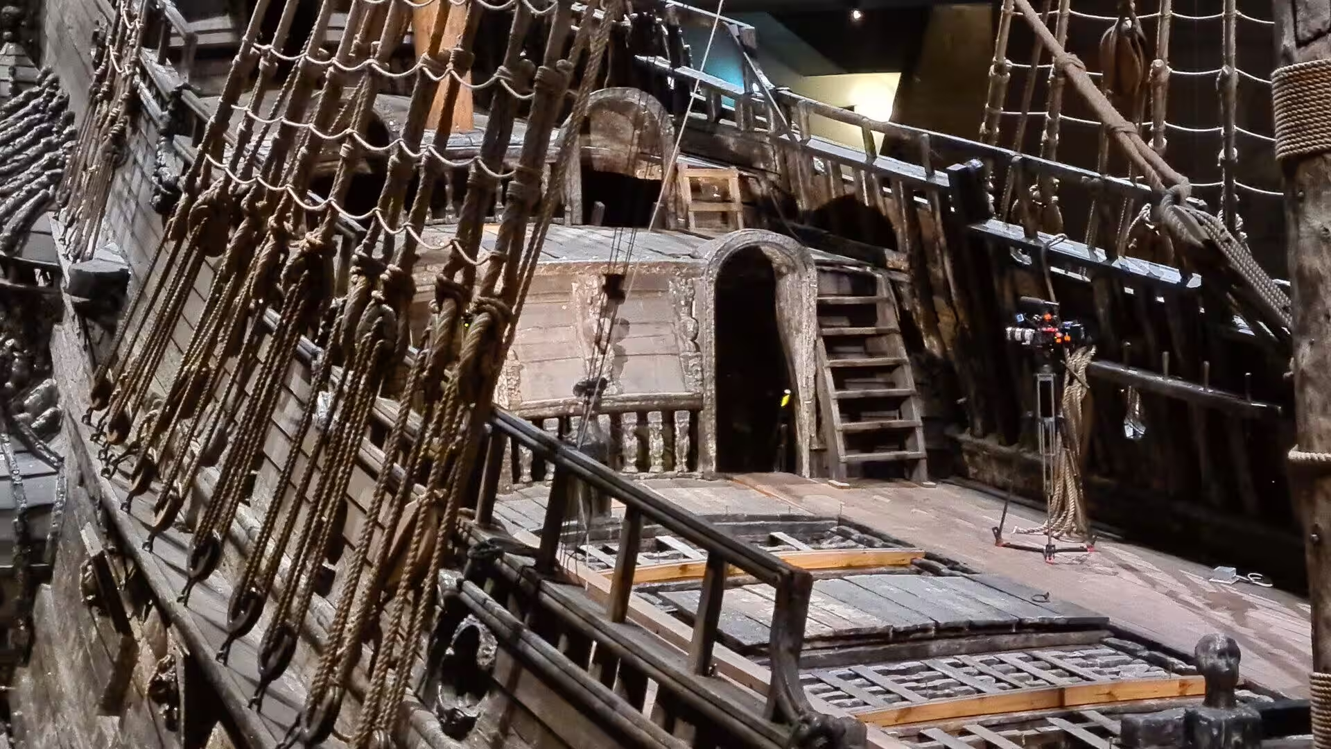
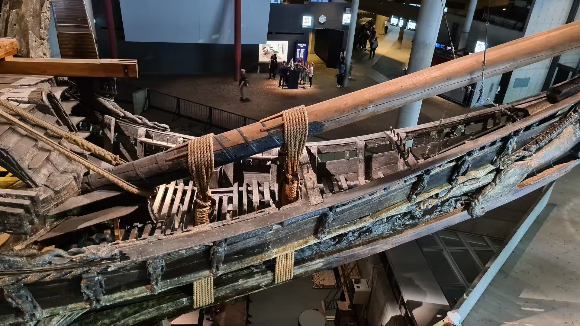
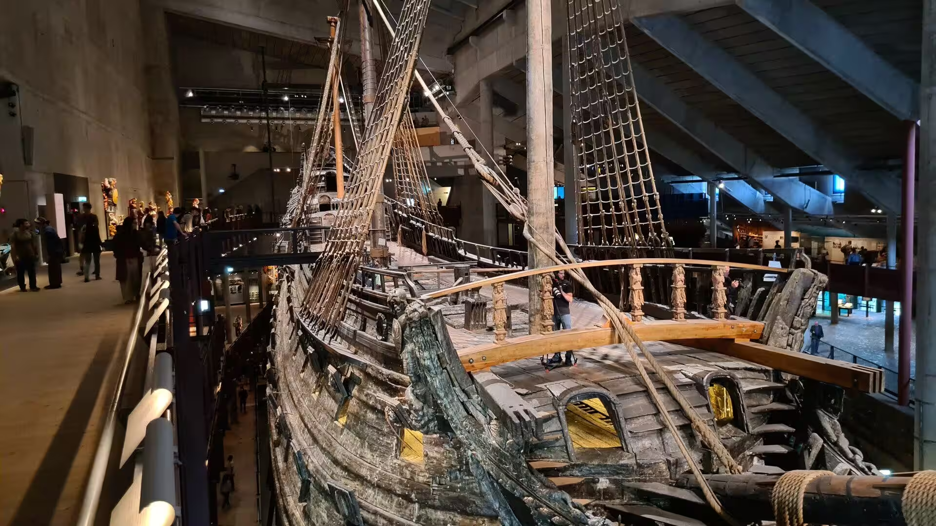
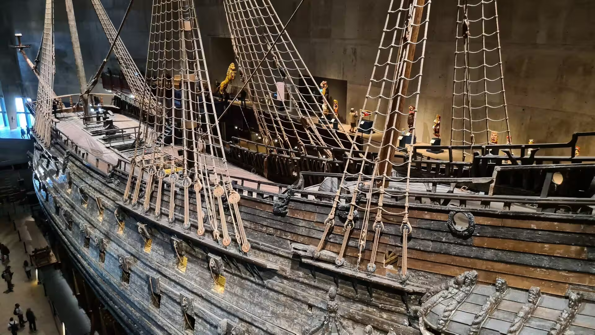
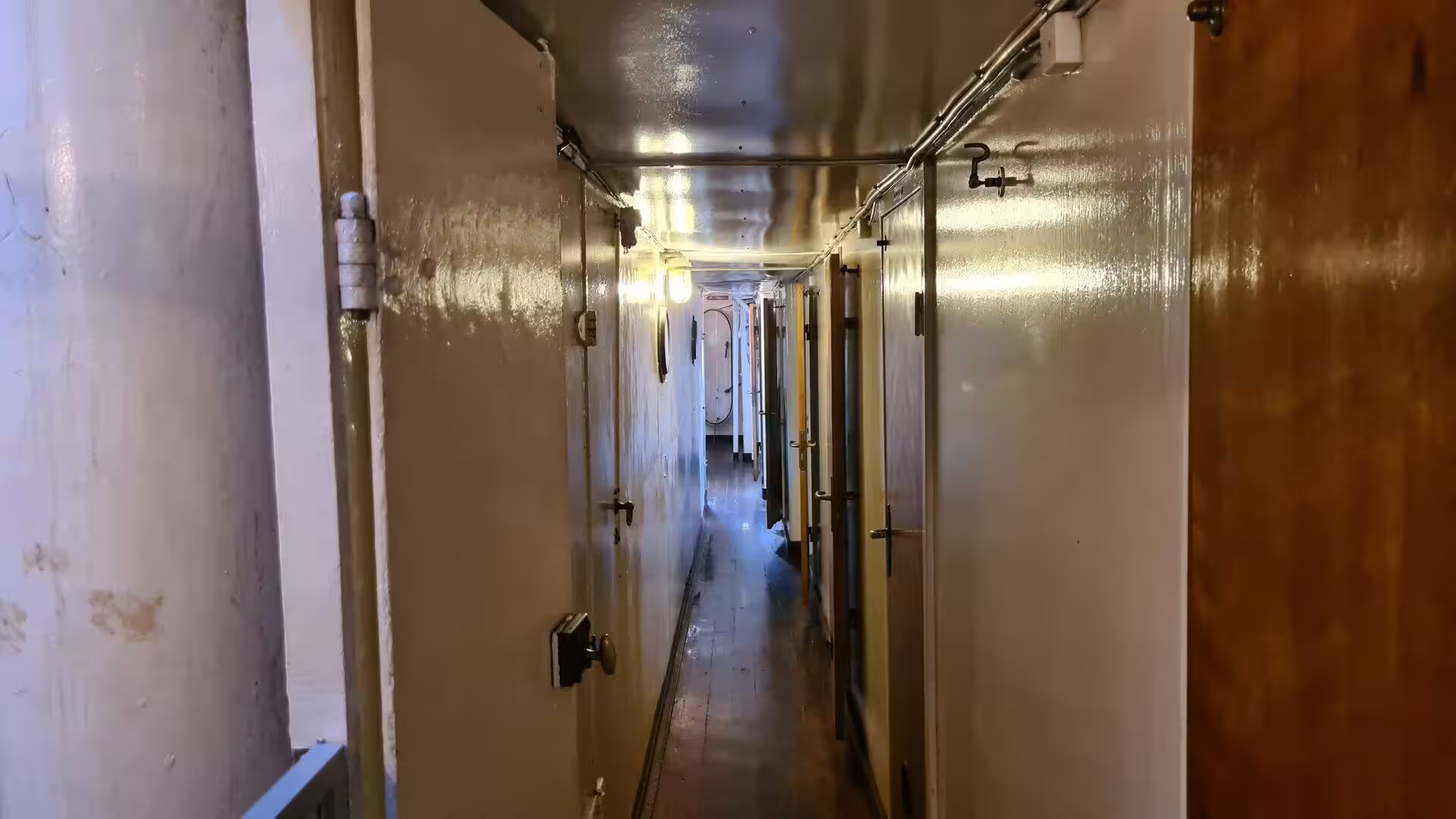
The Vasa Museum on Djurgården displays the ship that gives it its name, the only almost fully intact warship of the seventeenth century ever salvaged. Vasa was built between 1626 and 1628 and sank after sailing roughly 1,300 metres into her maiden voyage on 10 August 1628, whereupon she fell into obscurity once her bronze cannon had been lifted; she was rediscovered in the late 1950s, salvaged in 1961 after 333 years on the seabed and treated with polyethylene glycol, and after a stay in the temporary Wasavarvet building until 1988 she was moved into the museum that opened in 1990. Between her recovery and the beginning of 2025 the ship has been seen by over 45 million visitors, and the museum is the most visited in Scandinavia.
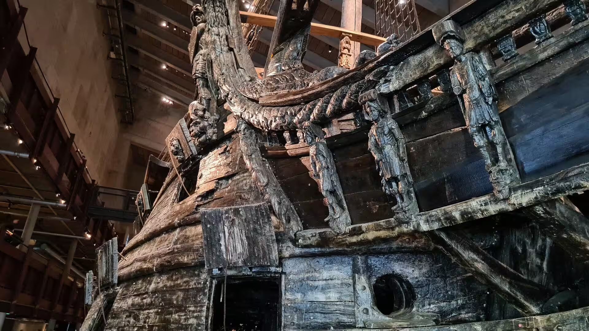
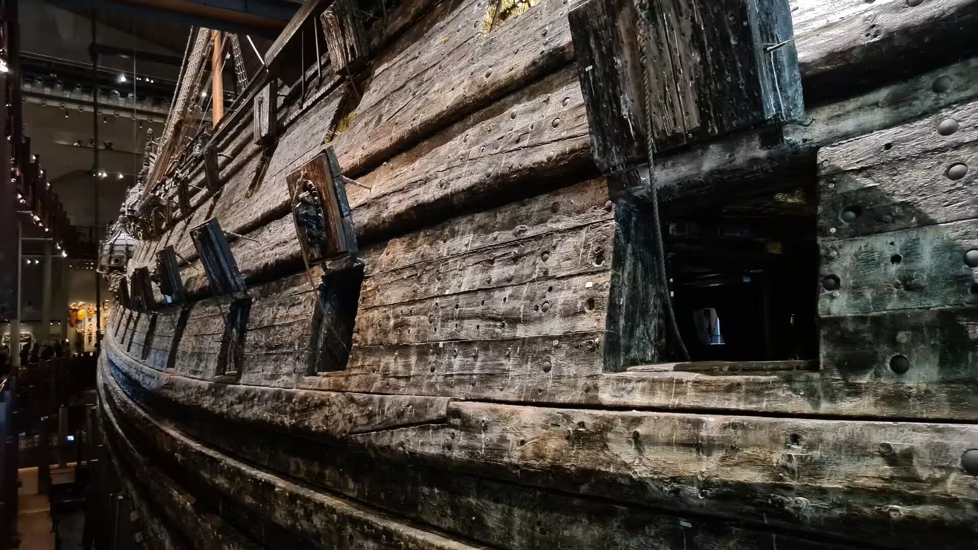
The ship is the reason for the visit, but the carving is what stays in the memory. The stern carries tier upon tier of carved figures, soldiers and cherubs and lions around a crowned crest, the gun ports open along a hull whose planking still bears the marks of three centuries under water, and from the walkways around the hall the rigging cuts across the concrete of the building. In the old hall visitors could only look at the ship from two levels and from a distance of five metres, and the present arrangement, with several levels and the vessel filling the space from floor to roof, is the result of the competition and planning that produced the museum of 1990.
The City Hall stands on the eastern tip of the island of Kungsholmen beside the northern shore of Riddarfjärden, facing the islands of Riddarholmen and Södermalm, and holds both the offices of the municipality and its ceremonial halls. It is the venue of the Nobel banquet. The council decided in 1907 to build a new city hall on the site of the former Eldkvarn mill, held a competition that was decided in favour of Ragnar Östberg, and the municipal government moved into the finished building in 1923.
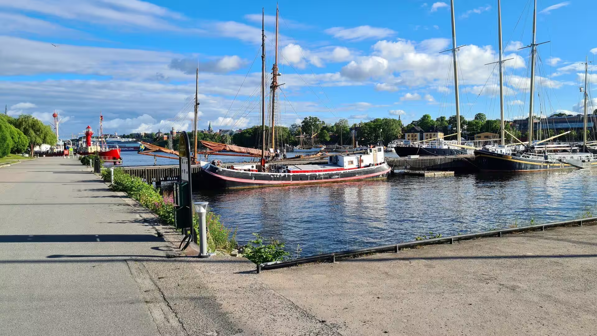
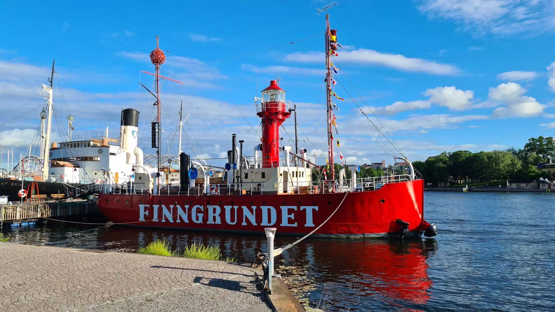
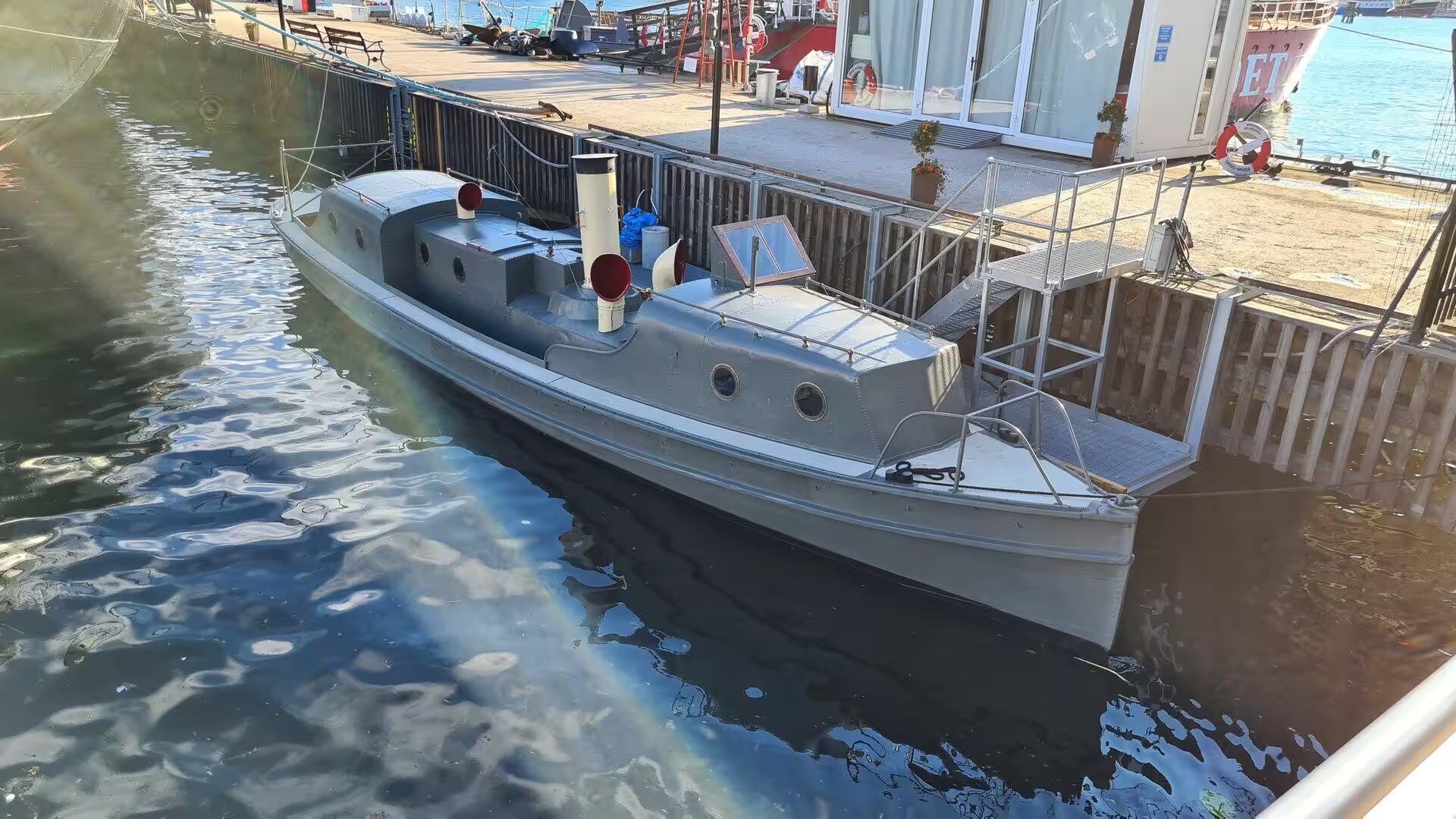
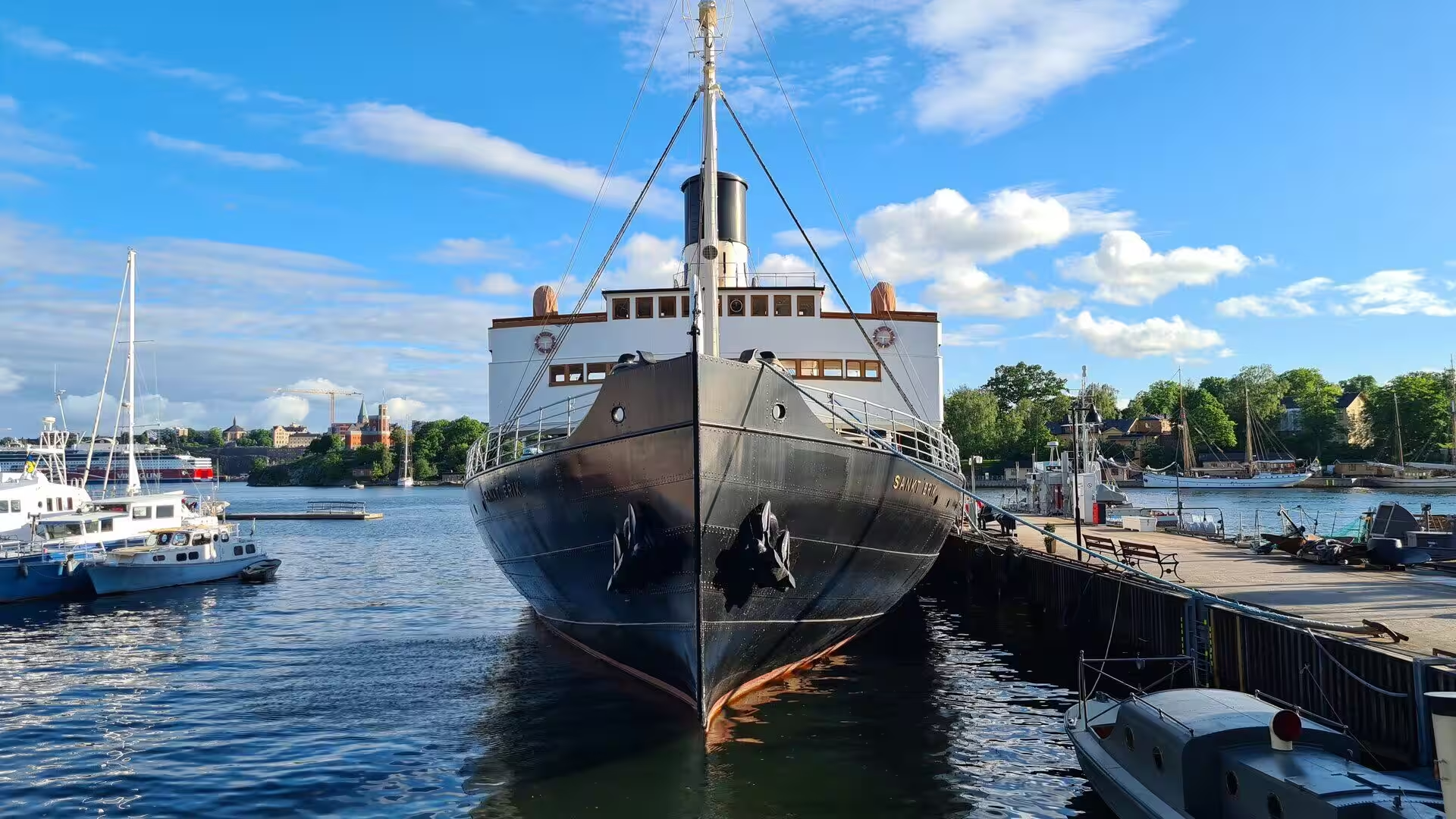
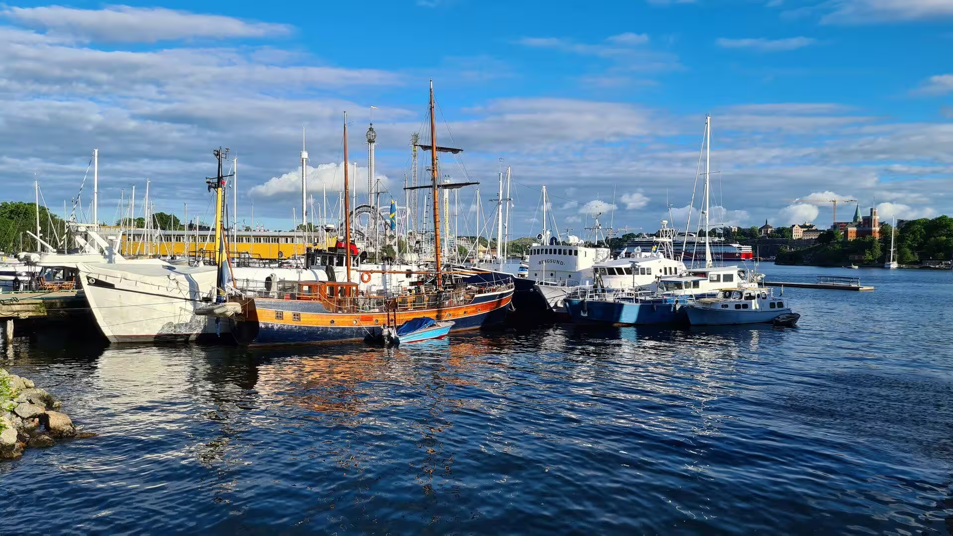
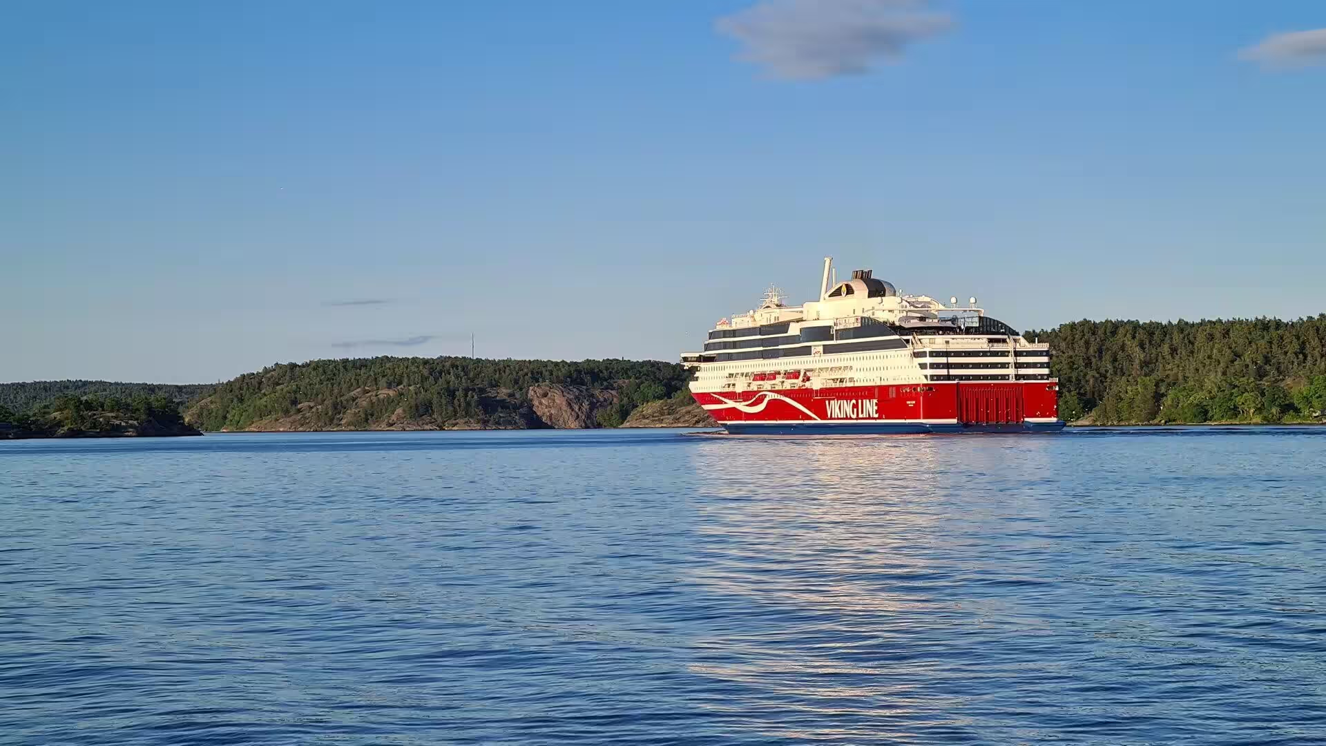
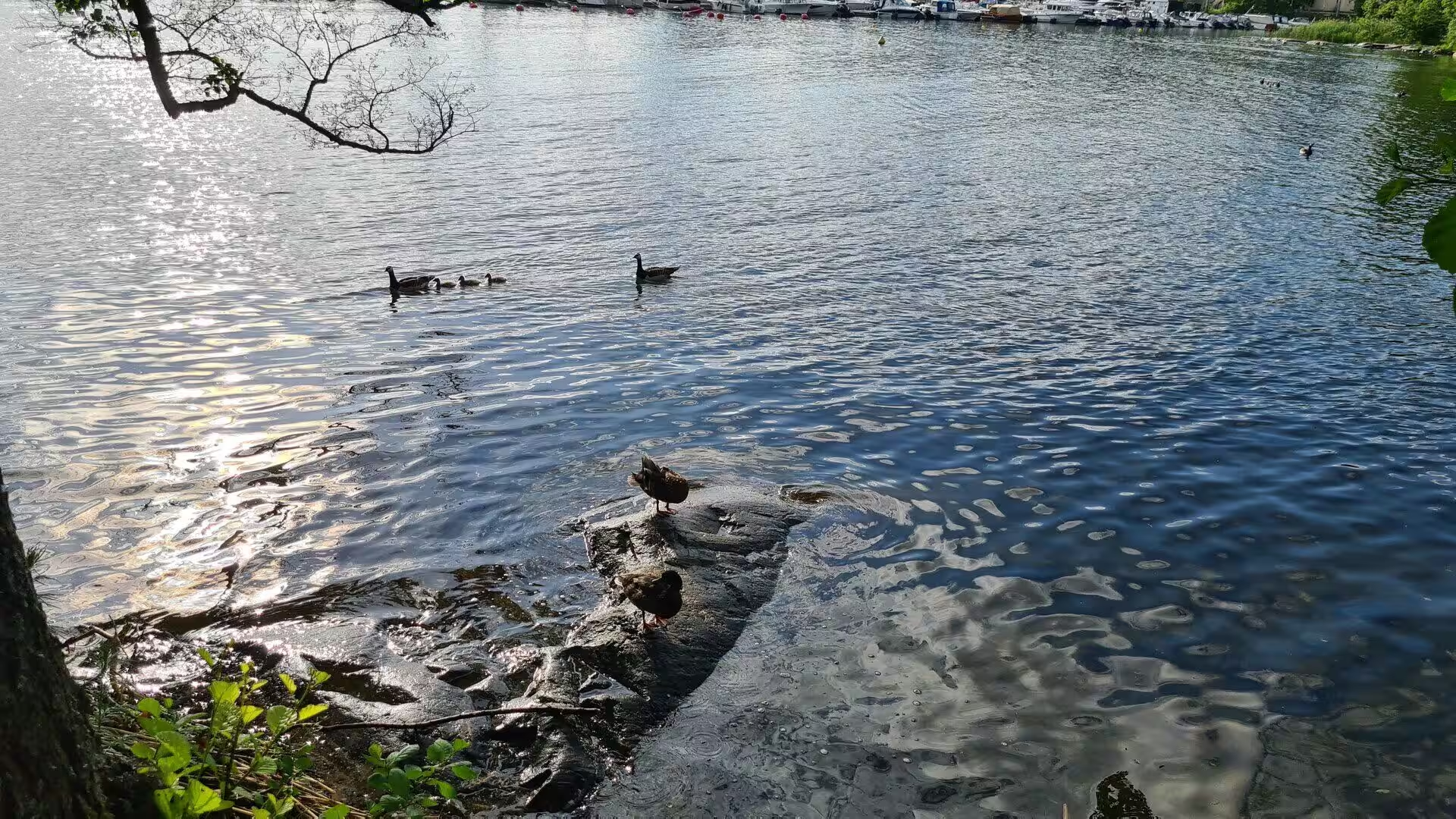
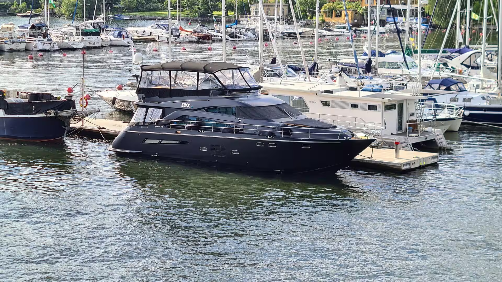
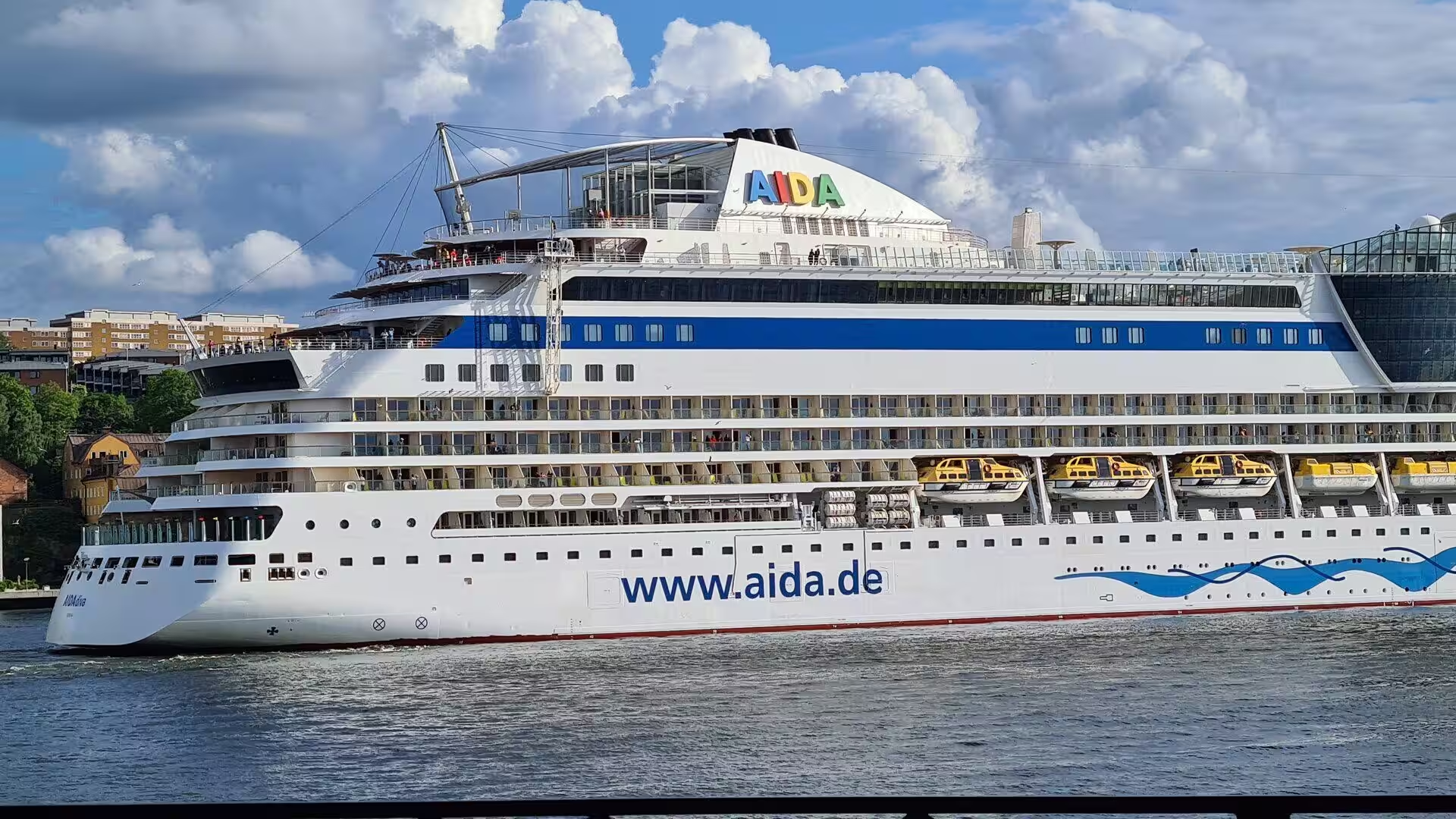
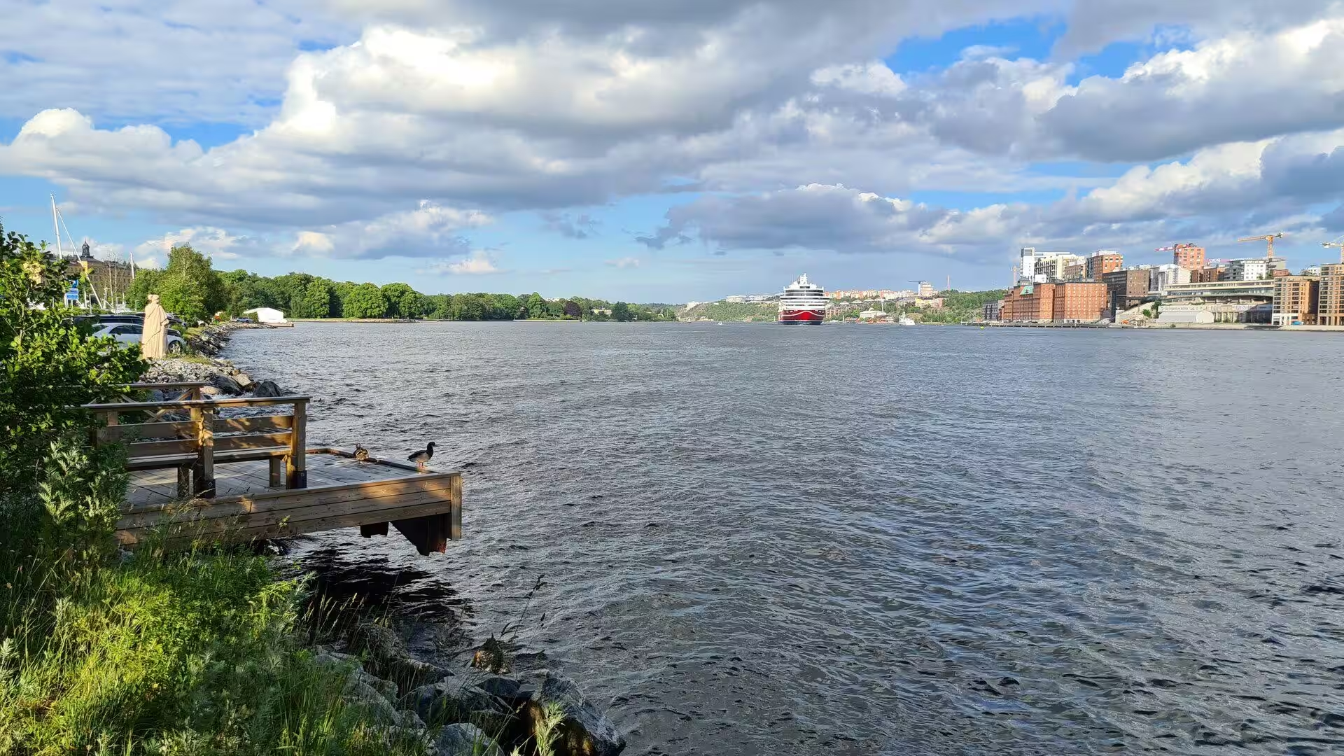
Beyond the last of the city islands begins the archipelago, the largest in Sweden and the second largest in the Baltic Sea after the Archipelago Sea in Finland. It contains slightly more than 24,000 islands, islets and skerries and covers about 1,700 square kilometres, of which some 530 are land, and part of it has been a Ramsar site since 1989. Around 10,000 people live there permanently and some 50,000 holiday homes stand on its shores; the islands closest to the coast, among them Vaxholm, Ingarö and Värmdö, are reached by road ferries and bridges, while the larger islands further out are served by passenger ships. Boat trips from the city through this water, past rocks, reeds and jetties, are as much a part of a stay in Stockholm as the museums are.
References
- Wikipedia contributors (2026). Stockholm. en.wikipedia.org/wiki/Stockholm
- Wikipedia contributors (2026). History of Stockholm. en.wikipedia.org/wiki/History_of_Stockholm
- Wikipedia contributors (2026). Gamla stan. en.wikipedia.org/wiki/Gamla_stan
- Wikipedia contributors (2026). Stockholm archipelago. en.wikipedia.org/wiki/Stockholm_archipelago
- Wikipedia contributors (2026). Lake Mälaren. en.wikipedia.org/wiki/Lake_M%C3%A4laren
- Wikipedia contributors (2026). Baltic Sea. en.wikipedia.org/wiki/Baltic_Sea
- Wikipedia contributors (2026). Djurgården. en.wikipedia.org/wiki/Djurg%C3%A5rden
- Wikipedia contributors (2026). Skansen. en.wikipedia.org/wiki/Skansen
- Wikipedia contributors (2026). Vasa (ship). en.wikipedia.org/wiki/Vasa_%28ship%29
- Wikipedia contributors (2026). Vasa Museum. en.wikipedia.org/wiki/Vasa_Museum
- Wikipedia contributors (2026). Stockholm Palace. en.wikipedia.org/wiki/Stockholm_Palace
- Wikipedia contributors (2026). Stockholm City Hall. en.wikipedia.org/wiki/Stockholm_City_Hall
- Wikipedia contributors (2026). Nobel Prize. en.wikipedia.org/wiki/Nobel_Prize
- Wikipedia contributors (2026). Post-glacial rebound. en.wikipedia.org/wiki/Post-glacial_rebound
- Wikipedia contributors (2026). Fennoscandian Shield. en.wikipedia.org/wiki/Fennoscandian_Shield
- Wikipedia contributors (2026). Stockholm metro. en.wikipedia.org/wiki/Stockholm_metro
- Jahnke C. (2015) 6 The Baltic Trade. A Companion to the Hanseatic League. 194-240. doi.org/10.1163/9789004284760_008
- Migon P. (2006) Geology of Granite. Granite Landscapes of the World. doi.org/10.1093/oso/9780199273683.003.0009
- Källstrand G. (2019) More Than a Prize: The Creation of the Nobel System. Attributing Excellence in Medicine. 39-58. doi.org/10.1163/9789004406421_004
- Nyberg A. (1987) Some Views on the Water Level in Lake Malaren and in the Adjacent Baltic Sea. Geografiska Annaler. Series A, Physical Geography. 69. 271. doi.org/10.2307/521187