2025 USA II - Boston

















Journal Notes
General
Boston is the capital of the Commonwealth of Massachusetts and one of the oldest cities of the United States. It was founded in 1630 by English Puritans on the Shawmut Peninsula, a small promontory in the bay at the mouth of the Charles River, and it grew from a colonial port into the political and intellectual centre of New England. The city proper has about 675,000 inhabitants within 232 square kilometres, while its metropolitan region counts some 4.9 million, and it remains the largest city of New England, the north-eastern corner of the United States between the Atlantic and Canada.
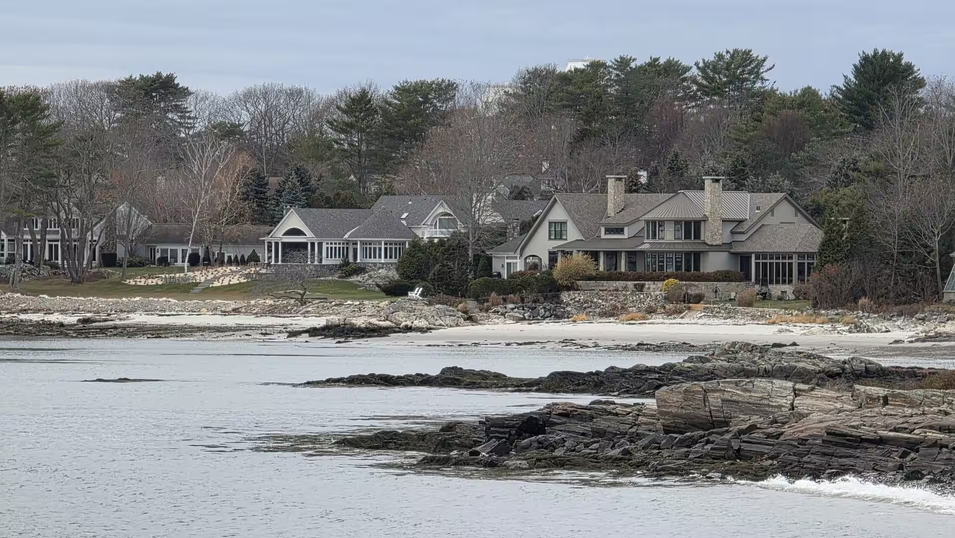
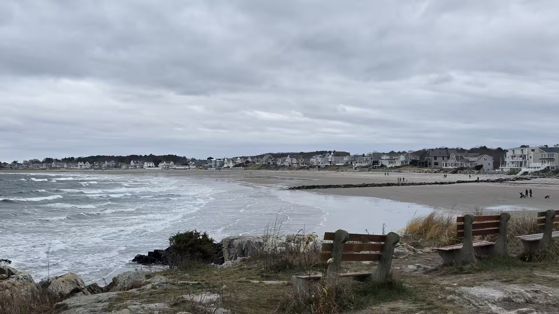
Boston stands at the head of Massachusetts Bay, one of the great indentations of the North American coast. The original peninsula has been enlarged over the centuries by landfill: the Back Bay and the South End were built on ground reclaimed from tidal marshes and shallows in the nineteenth century, and the modern Seaport District covers land filled in the twentieth. The Charles River separates the city from Cambridge to the west, and Boston Harbor opens to the Atlantic through a chain of islands and peninsulas. To the north the coast of Massachusetts gives way to the seacoast of New Hampshire, whose rocky shores and quiet inlets lie less than an hour’s drive from the centre.
Historically Boston has been called the Cradle of Liberty, for the protests and confrontations of the colonial era that led to the American Revolution: the Boston Massacre of 1770, the Tea Party of 1773 and the first battles of the war at Lexington and Concord in 1775 all took place in or near the city. The Freedom Trail, a walking route of 4 kilometres, links the sites of this history through the centre of the old town. The city is equally a capital of learning: Harvard University, the oldest institution of higher education in the United States, was founded across the river in Cambridge in 1636, the Massachusetts Institute of Technology followed in 1861, and the region has become one of the world’s leading centres of research, medicine and biotechnology.
The economy of the city rests on education, medicine, finance and technology, but its character is still shaped by the sea and by its maritime past. The harbour, the fishing fleets and the shipyards of earlier centuries have left a city of brick row houses, cobbled lanes and waterfront districts, with a cuisine of clam chowder, lobster rolls and oysters that belongs to the coast. Sport has its place in the same identity: the Boston Marathon, run since 1897, is the oldest annual marathon in the world.
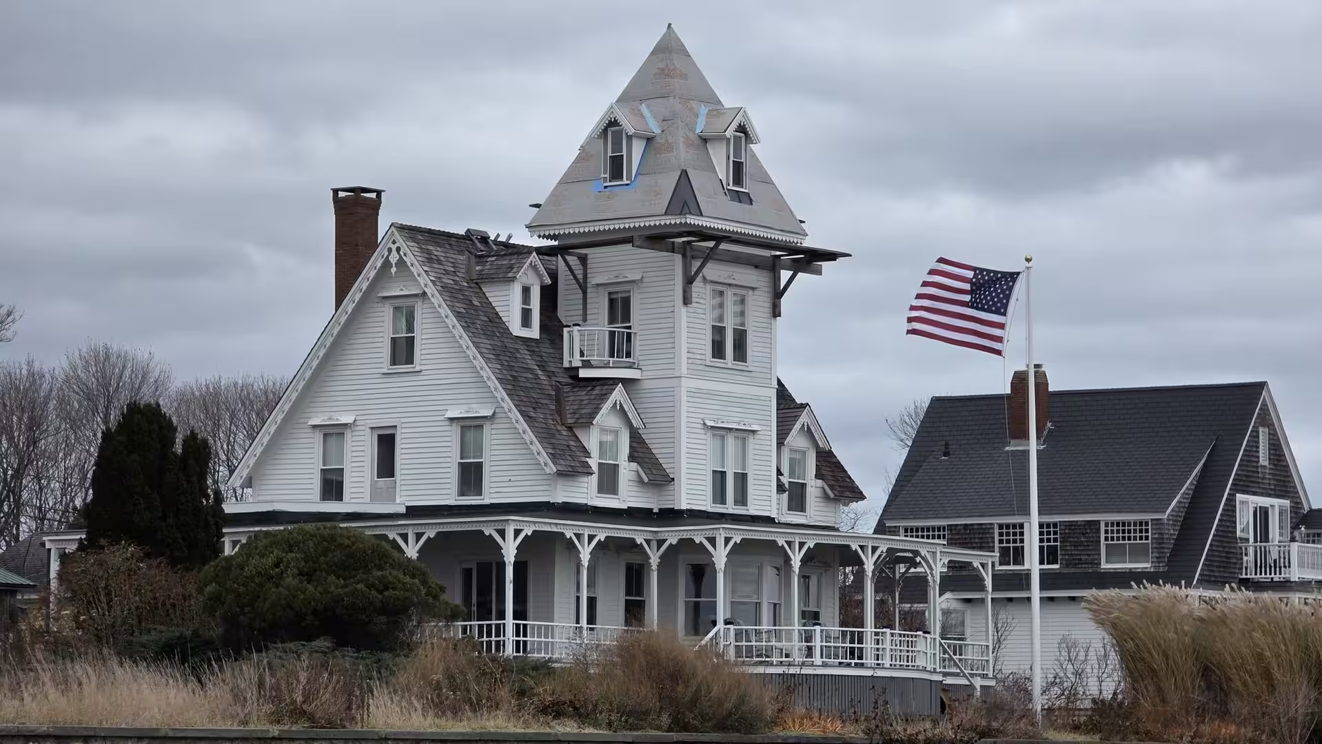
New England is a region of pronounced seasons, and Boston wears them openly: the winters bring snow and grey seas, the springs the greening of the Common, the autumns the colours of the maple woods that surround the city. The coast north of Boston, with its lighthouses, its summer colonies and its winter emptiness, belongs to the same landscape of weather and water, and it is here, rather than in the dense centre, that the quieter face of New England reveals itself.
History
The region of Boston was inhabited long before the arrival of the English. The Massachusett people, after whom the state is named, lived along the bay, and the Shawmut Peninsula was occupied by the Anglican cleric William Blaxton when the first Puritan settlers arrived. In 1630 John Winthrop led the main body of the Massachusetts Bay Colony from Charlestown across the river to Shawmut, and the settlement took the name Boston, after the town of Boston in Lincolnshire from which several of the leading colonists came. Within a few years the young town had founded the Boston Latin School, the first public school of North America, in 1635, and Harvard College in neighbouring Cambridge followed in 1636.
Colonial Boston grew rich on shipping, fishing and trade with the Atlantic world, and it grew restive under the taxes and restrictions of the British crown. The occupation of the town by British troops led to the Boston Massacre of 1770; in December 1773 colonists disguised as Mohawks threw 342 chests of tea into the harbour in protest against the tea duty, an act known ever since as the Boston Tea Party; and in April 1775 the attempt of British troops to seize colonial arms at Concord ended in the battles of Lexington and Concord, the first armed clashes of the American Revolution. Boston could fairly claim to be the cradle of the new republic.
The nineteenth century transformed the city. Maritime trade, whaling and manufacturing brought wealth, and the filling of the Back Bay between 1857 and the end of the century created a new district of broad avenues and brownstone houses on land reclaimed from the Charles River marshes. Waves of immigration changed the population: the Irish, driven by the Great Famine of the 1840s, settled the North End and South Boston; later came Italians, Jews, and in the twentieth century communities from across the world, so that the old neighbourhoods of the city still bear the marks of these migrations. Boston was also a centre of the abolitionist movement in the decades before the Civil War, and of American literature and reform.
The twentieth century brought industrial decline and urban renewal, and with it one of the most ambitious engineering projects in American history: the Central Artery and Tunnel project, known as the Big Dig, carried the main interstate highway underground through the centre of the city between 1991 and 2007 and opened the waterfront to redevelopment. The hospitals and universities of the region grew into the great research complex that now anchors the economy, while the historic districts of Beacon Hill, the North End and Back Bay preserved the scale and brick of the old city.
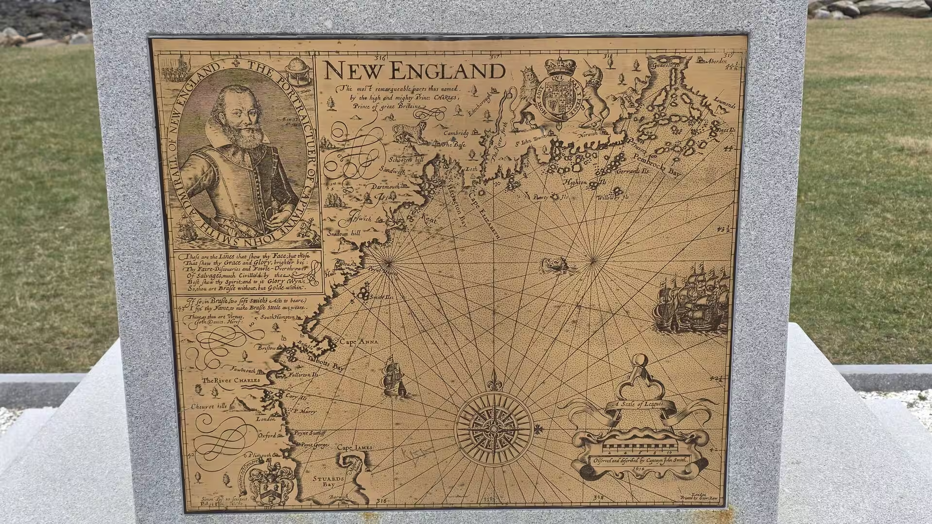
The coast to the north of Boston has its own long history, closely bound to the city’s. The first English settlement in what is now New Hampshire was made in 1623 at Odiorne Point near the Piscataqua River, where David Thompson and his men built a fortified trading post on ground granted two years earlier; the Isles of Shoals, visible from the shore, had been charted by the English explorer John Smith in 1614, the year in which he gave the name New England to the coast. Through the following centuries this seacoast was defended in its turn: the batteries and forts of the harbour approaches, among them Fort Dearborn of the Second World War, guard the entrances that the earlier settlers had used, and the lighthouses of the Piscataqua have marked the way into the port since 1771.
Geology
The geology of the Boston region is among the oldest of the eastern United States, and the city is built on ground that records more than half a billion years of earth history. The bedrock of the Boston Basin, the lowland on which the city stands, consists largely of the Roxbury Conglomerate, a thick formation of cemented pebbles and boulders known locally as puddingstone, together with the finer Cambridge Argillite that overlies it; both were laid down in the late Precambrian or early Cambrian, when the future New England lay at the margin of a continental collision, and the puddingstone is still visible in the walls and monuments of the city.
The shape of the modern landscape, however, is the work of the Ice Age. During the Wisconsin glaciation, which ended about 11,700 years ago, an ice sheet thousands of metres thick covered the whole of New England, grinding the bedrock, transporting vast quantities of debris and then, as it melted, depositing it as till and moraine. The rounded hills of the city, such as Beacon Hill, are built of this glacial drift, and the harbour islands and peninsulas of Boston Harbor are largely the drowned remnants of the same glacial landscape, shaped when the melting ice raised the sea against a coast still depressed by its weight.
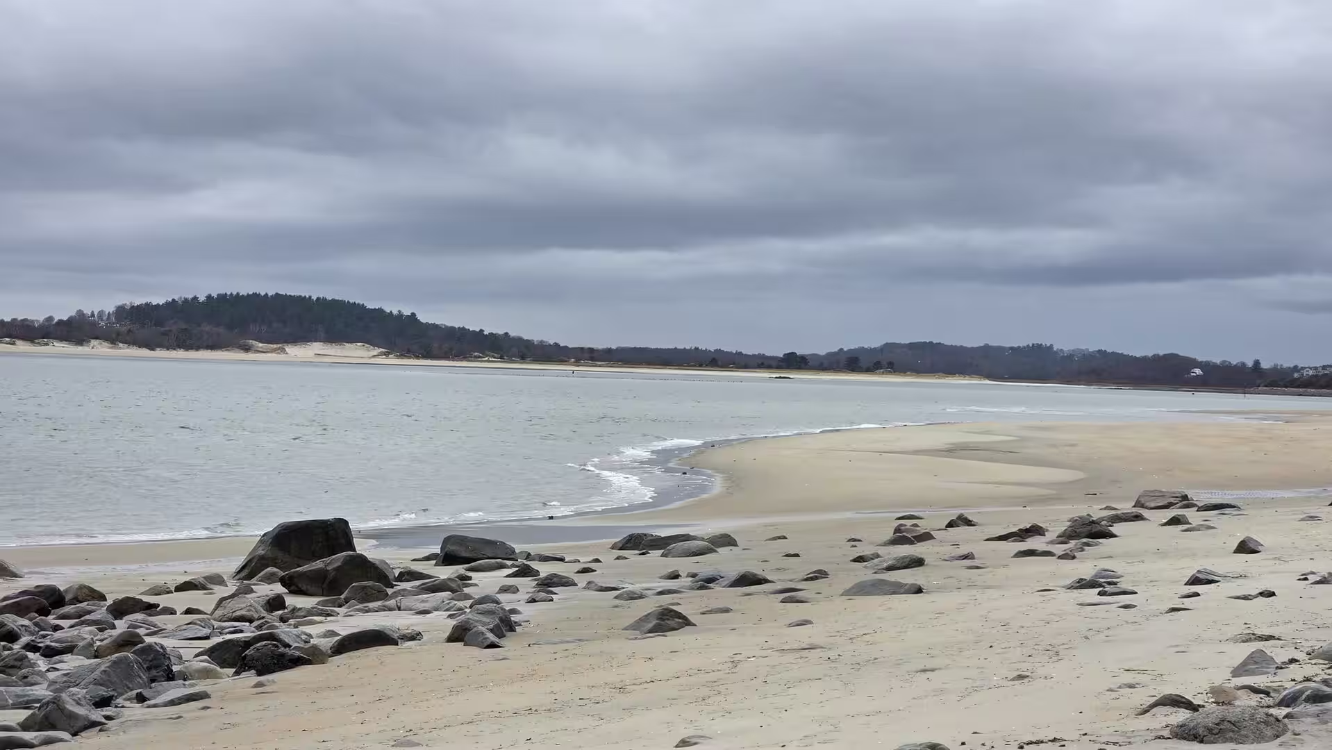
Boston Harbor itself is a flooded valley system: the pre-glacial river valleys of the region, scoured and deepened by the ice, were drowned by the rising sea and now form the complex of channels, islands and tidal flats between the city and the open Atlantic. The harbour is sheltered by its islands and by the long peninsulas of the coast, and its shores mix rocky outcrops, salt marshes, tidal flats and sandy beaches in a pattern typical of the glaciated coast of New England. Much of the modern city, from the Back Bay to the airport and the Seaport District, stands on ground that was open water or marsh within the last two centuries.
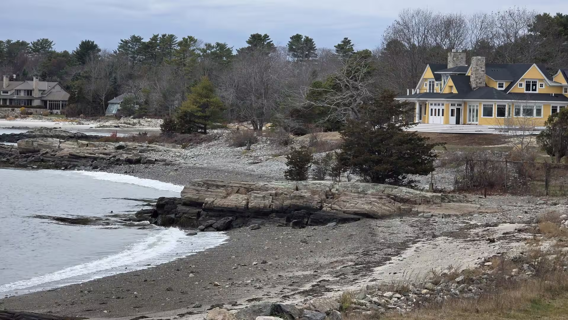
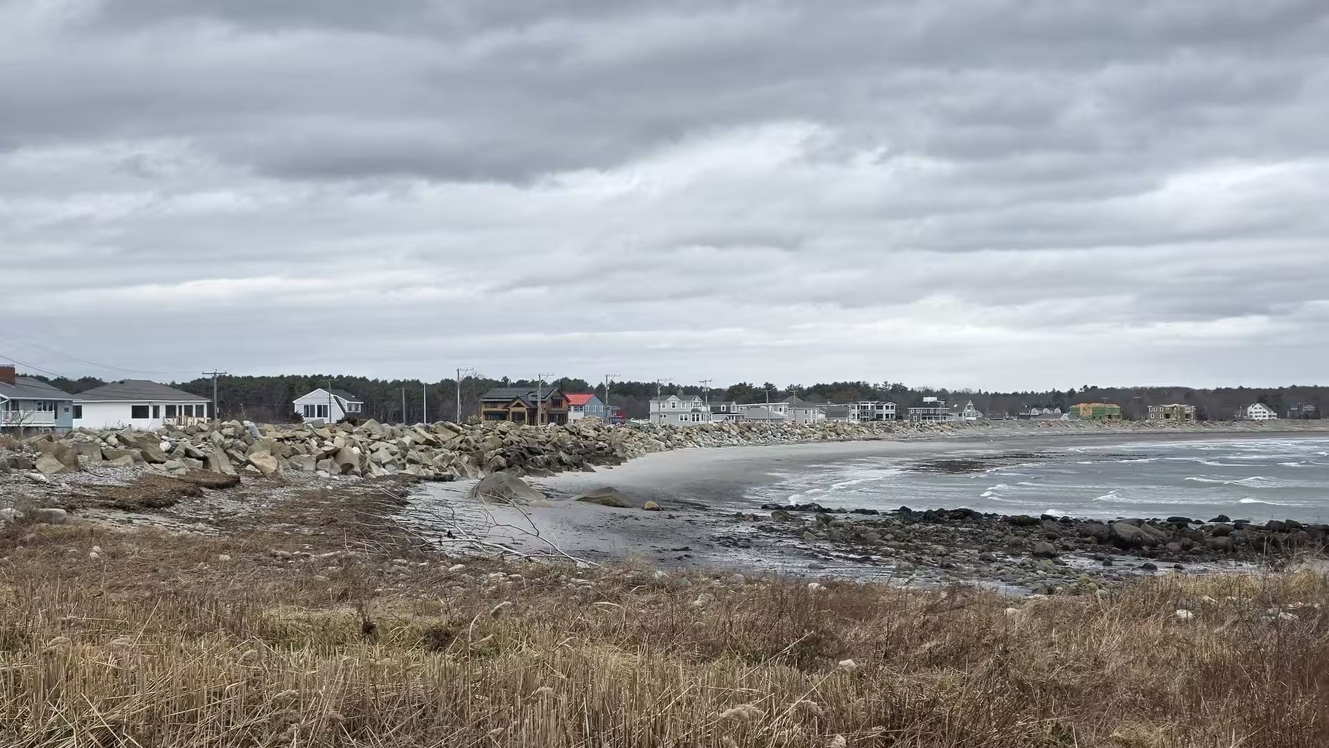
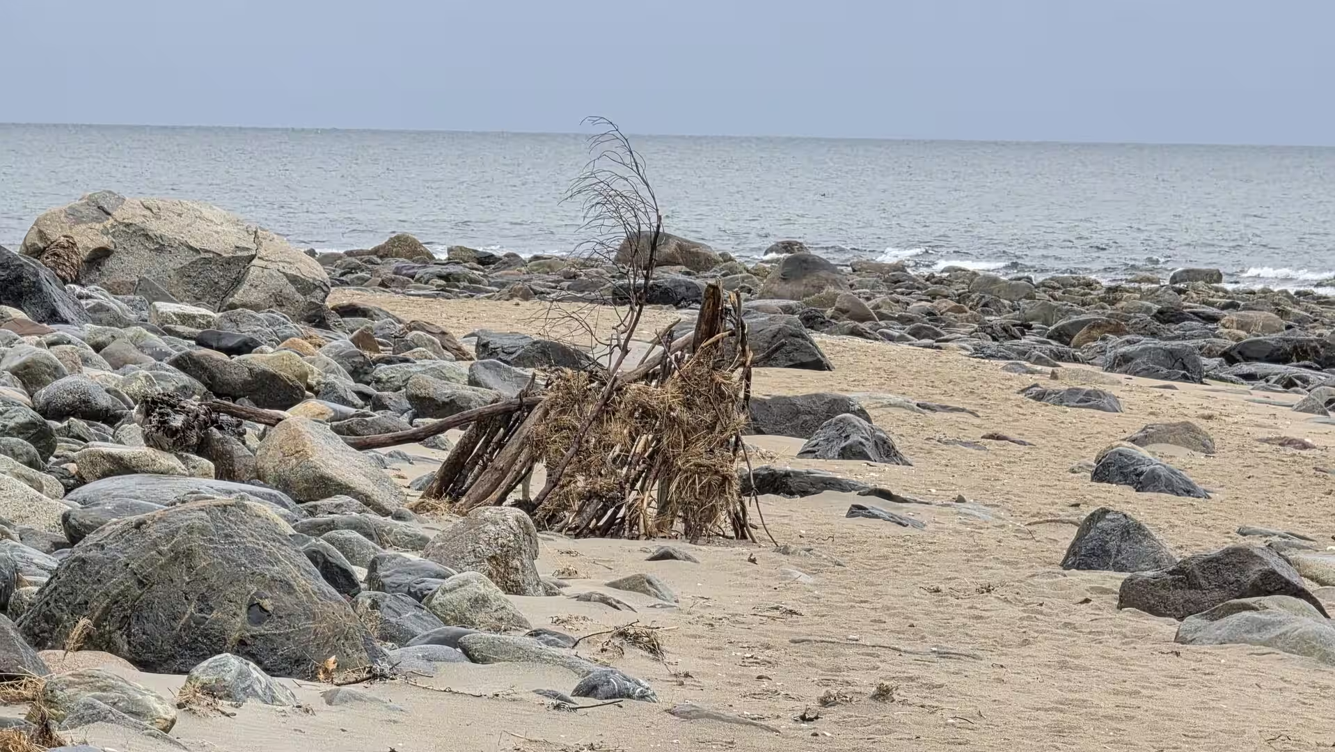
Along the New Hampshire coast north of Boston the same glacial and marine history is written in the shoreline. At Odiorne Point the bedrock shelf meets the sea in low cliffs and rocky coves, and the drowned valleys of the coast form the quiet inlets and tidal bays that give the region its sheltered harbours. One of the remarkable features of this shore is a sunken forest, the remains of trees that grew when the sea stood lower and were later flooded and buried in the tidal mud; such drowned forests are exposed at low tide at several points along the coast. The winter storms of the North Atlantic work on the shore continuously, moving the sands of the beaches and cutting the soft till cliffs, so that the coastline of New England is never quite the same from one year to the next.
The soils of the region are thin and stony, the legacy of the glaciers that stripped the land and scattered boulders across it. This poverty of soil, together with the rocky ground, kept much of New England in forest and pasture and pushed its settlements toward the sea, so that the geology of the coast, with its harbours and its granite, shaped the maritime civilisation that Boston came to lead. The pinkish granite of the New England shore, the dark puddingstone of the Boston Basin and the grey argillite of Cambridge all appear in the buildings, the walls and the harbour works of the city itself.
Things to See
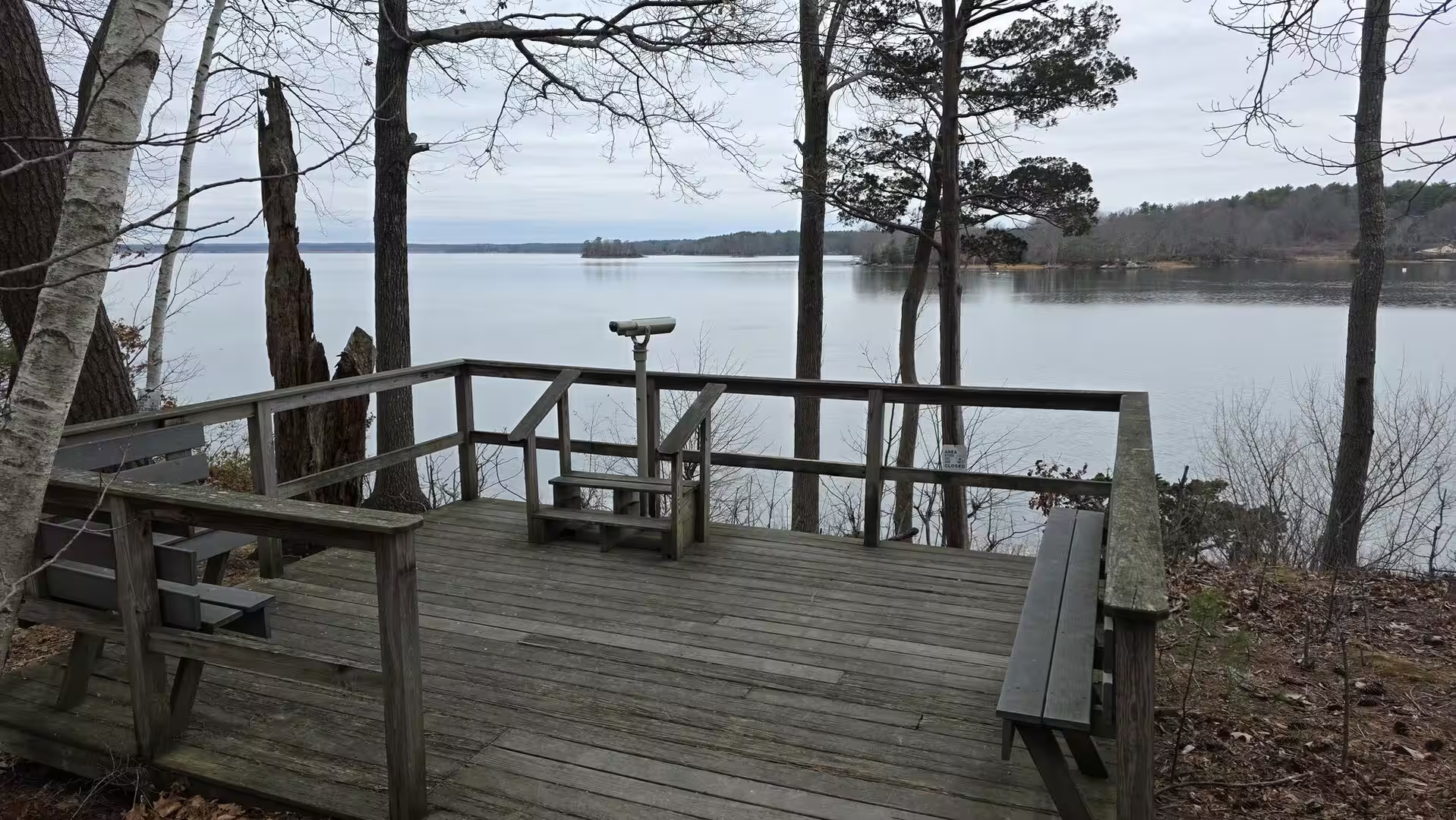
North of Boston, beyond the Massachusetts line, the coast of New Hampshire opens with one of the finest natural shorelines of New England, and its chief park is Odiorne Point, a promontory of woods and meadows in the town of Rye that has been a state park since 1961. The park’s trails run through pine and oak forest along the shore, past the quiet coves and the outlook decks that command the inlet, and its seacoast centre, housed in a modern building above the water, explains the marine world of the Gulf of Maine with its tanks, its touch pools and its programmes of coastal study. The point is also a place of deep history: here, in 1623, the first English settlers of New Hampshire built their fortified post of Piscataqua, and the park preserves the memory of that beginning beside the sea.
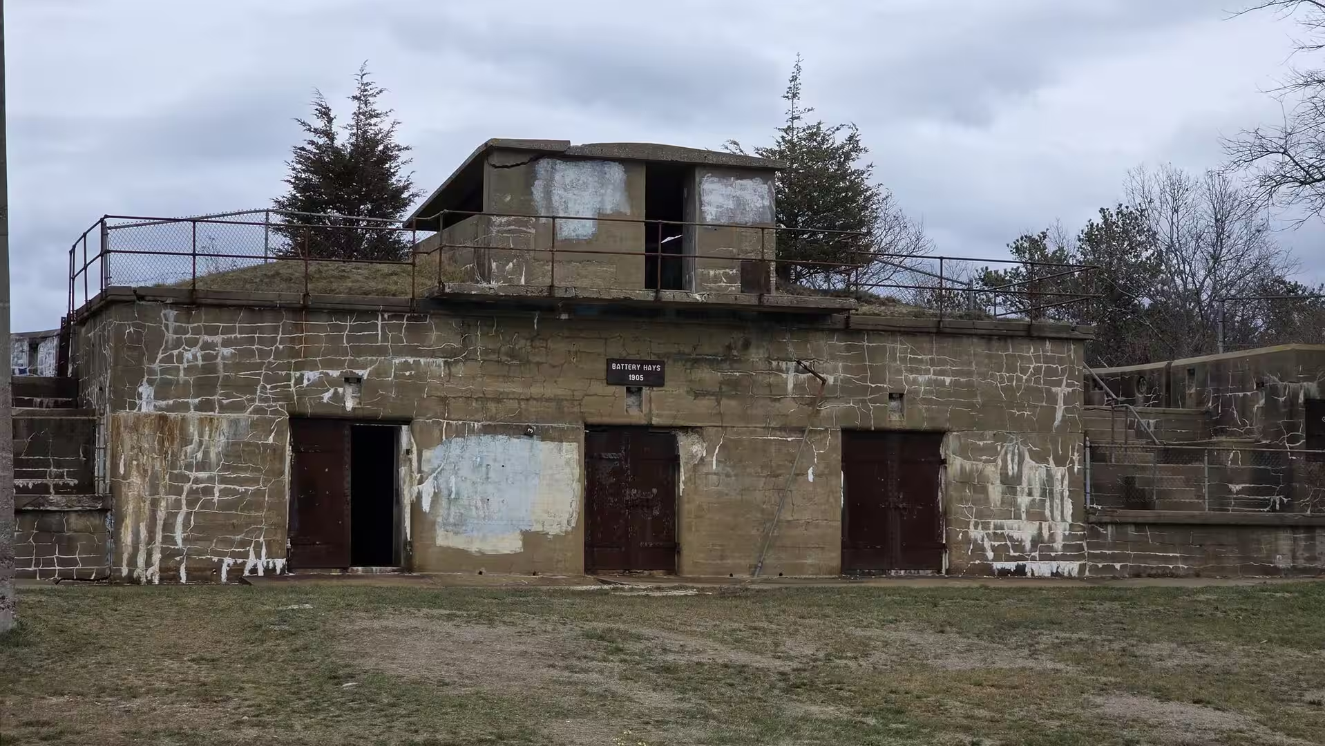
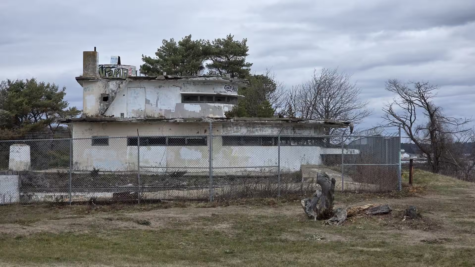
The woods of Odiorne conceal the remains of Fort Dearborn, a coastal artillery post of the Second World War built to guard the approaches to Portsmouth Harbor. Its concrete batteries, bunkers and gun positions stand roofless among the trees, their rusted doors and weathered walls overgrown by the forest; the largest of them, Battery 204, was armed with two 6-inch guns behind concrete shields. Walking the paths that thread between these silent fortifications, with the Atlantic beyond the treetops, is one of the most atmospheric experiences of the New England coast, and the fortifications belong to the long chain of defences, from the colonial blockhouses to the harbour forts, that guarded this borderland of the Atlantic.
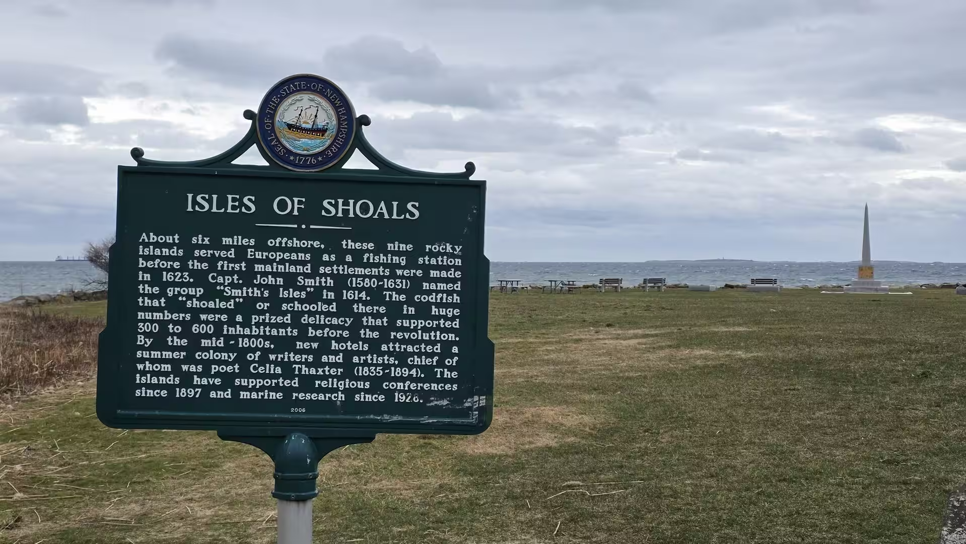
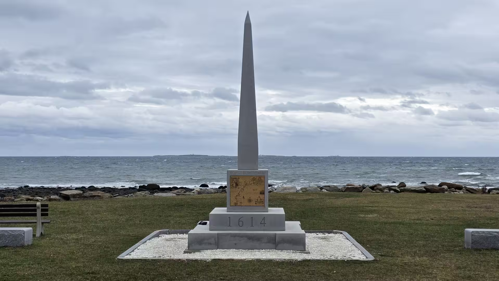
At the shore of the point stands a tall stone obelisk inscribed with the date 1614 and set with an engraved map of New England, a monument to the voyage in which the English captain John Smith charted this coast and gave it the name it still bears. Beside it an information panel tells the story of the Isles of Shoals, the group of rocky islands that lies on the horizon a few miles offshore: named for the shoals that surround them, they were visited by fishermen from Europe before the Pilgrims landed, and they appear on Smith’s map of 1614. On a clear winter day the islands stand out sharply against the sea, and the monument, the map and the islands together make the maritime history of New England tangible at a single glance.
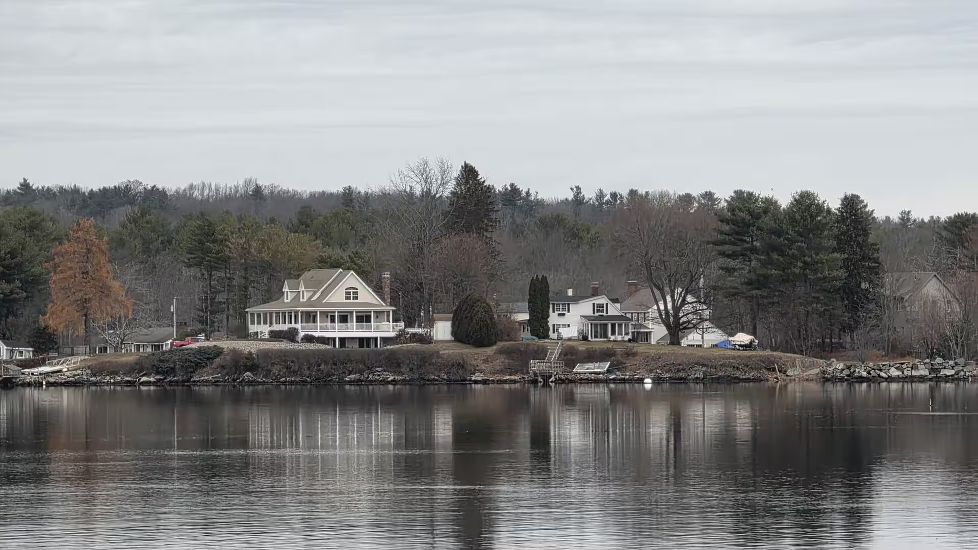
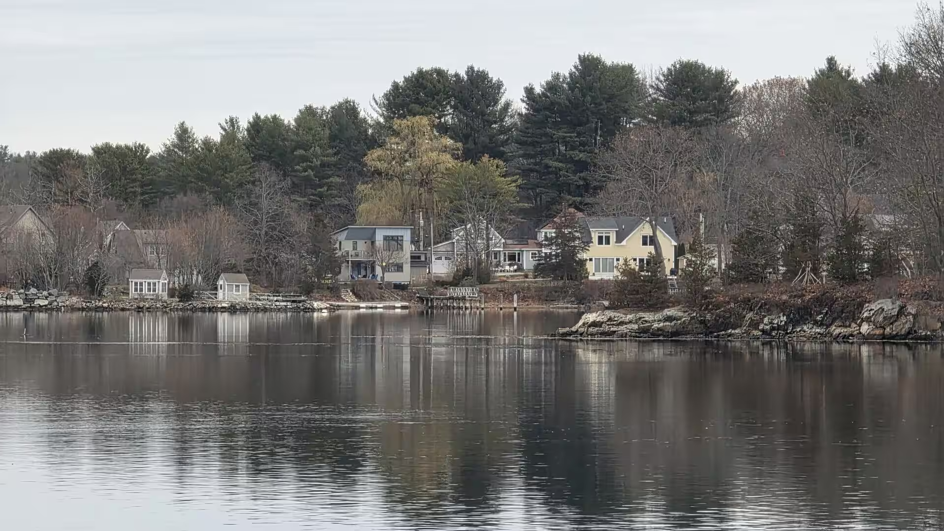
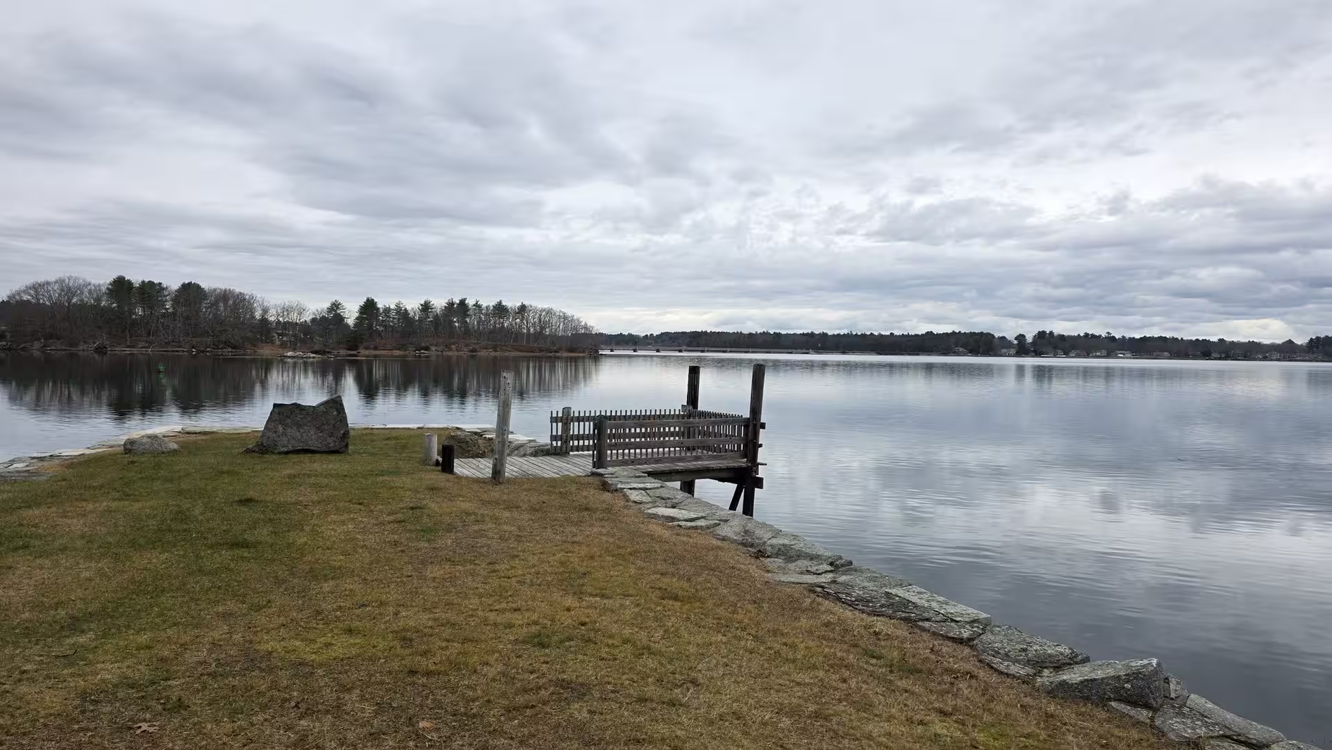
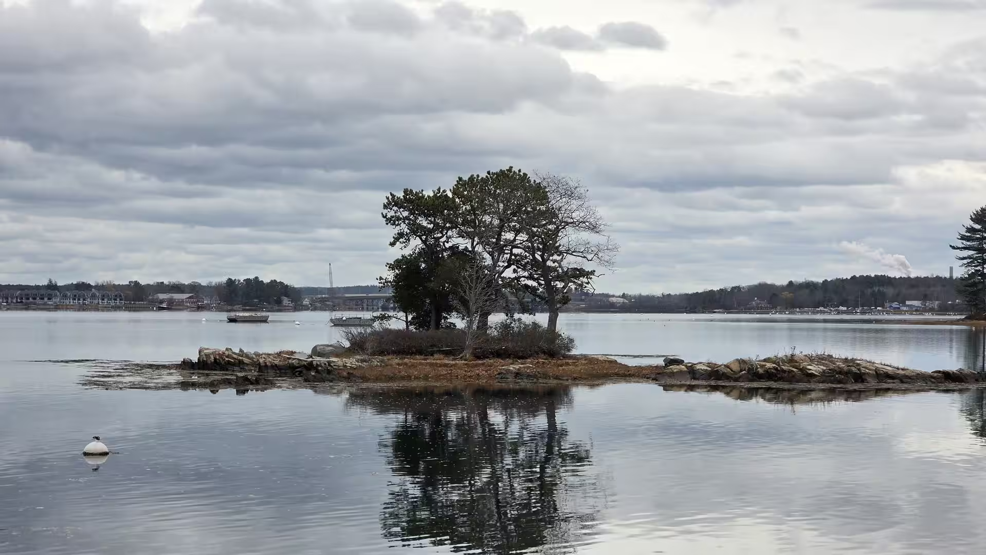
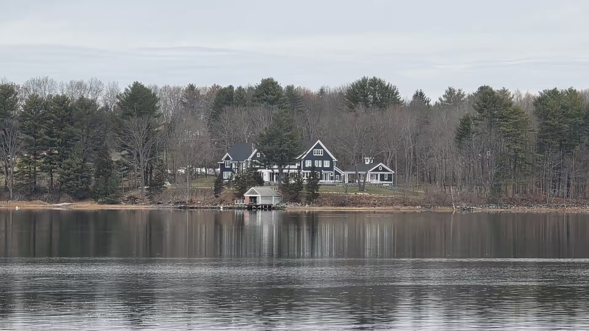
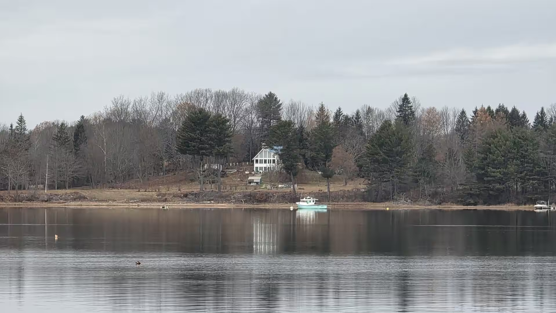
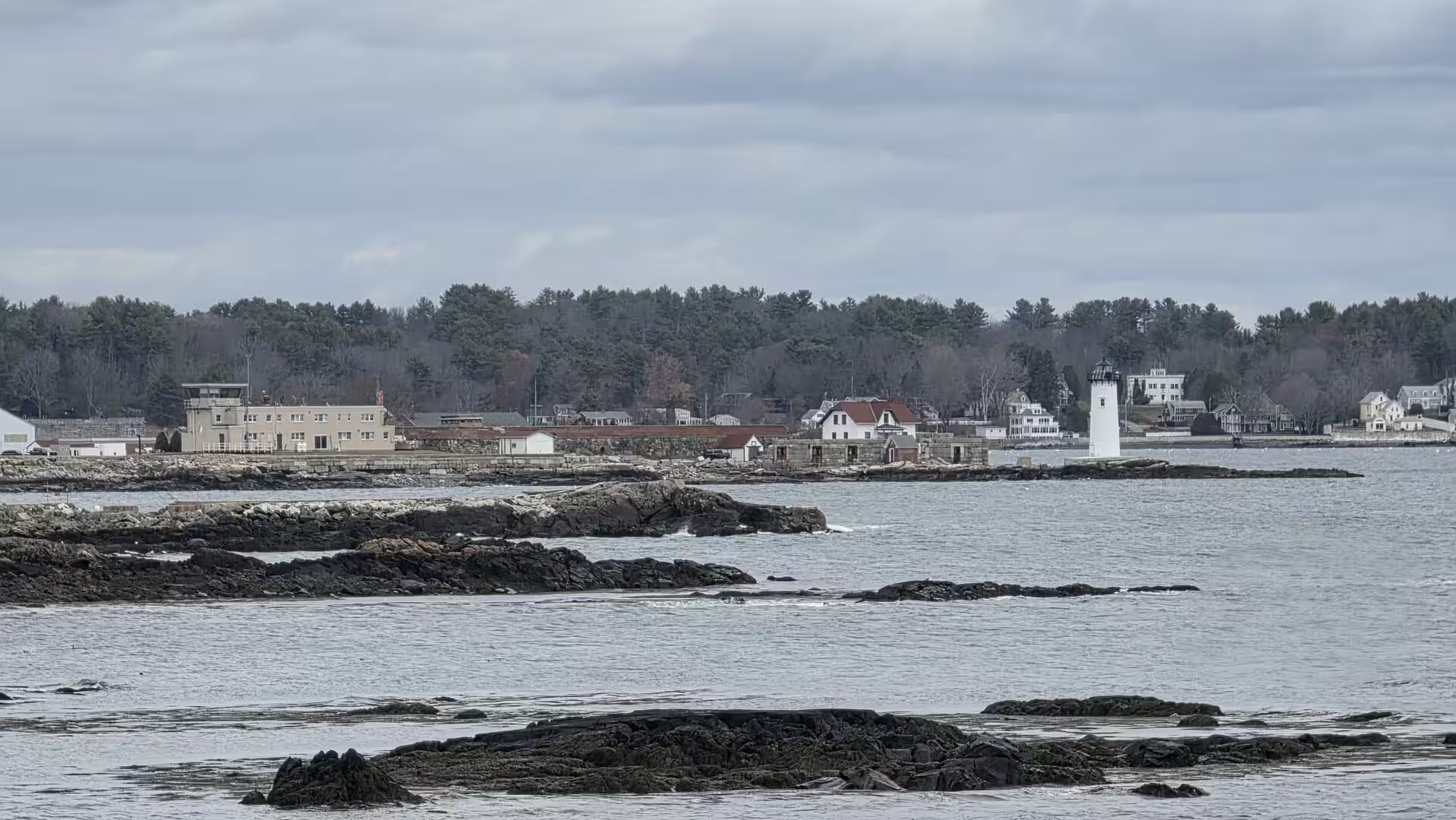
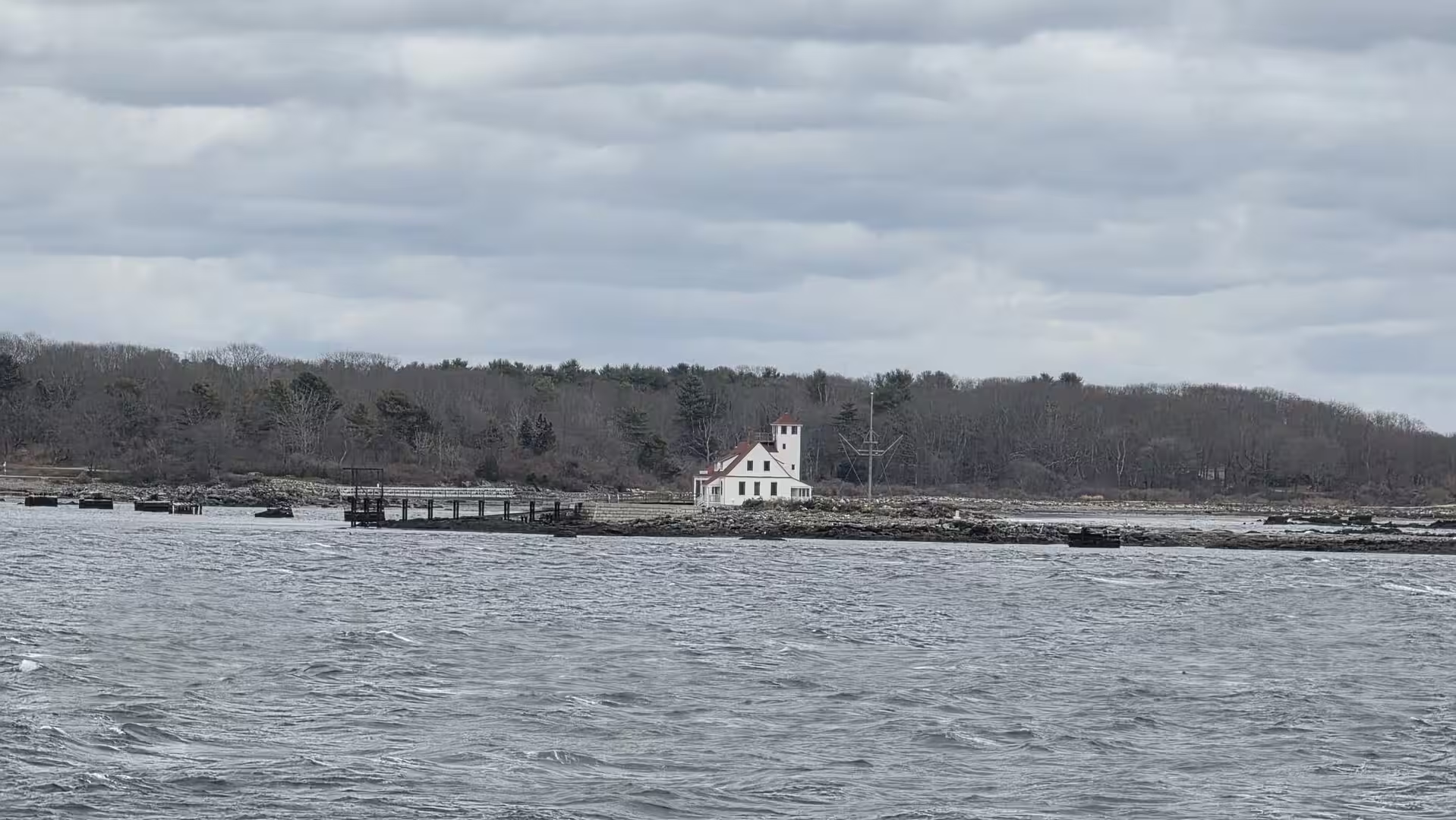
The lighthouses of the coast north of Boston are among the most photogenic of the American Atlantic. The Portsmouth Harbor Light at New Castle, on the southern shore of the Piscataqua River, marks the entrance to the harbour; the present conical tower of brick and cast iron dates from 1878, succeeding a light first shown in 1771, and stands beside the ruins of the colonial fort that guarded the river mouth. Smaller lights and day beacons mark the ledges and islands of the approaches, and the white towers on their rocky islands, surrounded by the grey winter sea, are the classic image of the New England shore. The quiet inlets around them, with their wooden docks, their moored boats and their waterfront houses reflected in still water, give the coast its sheltered, intimate character.
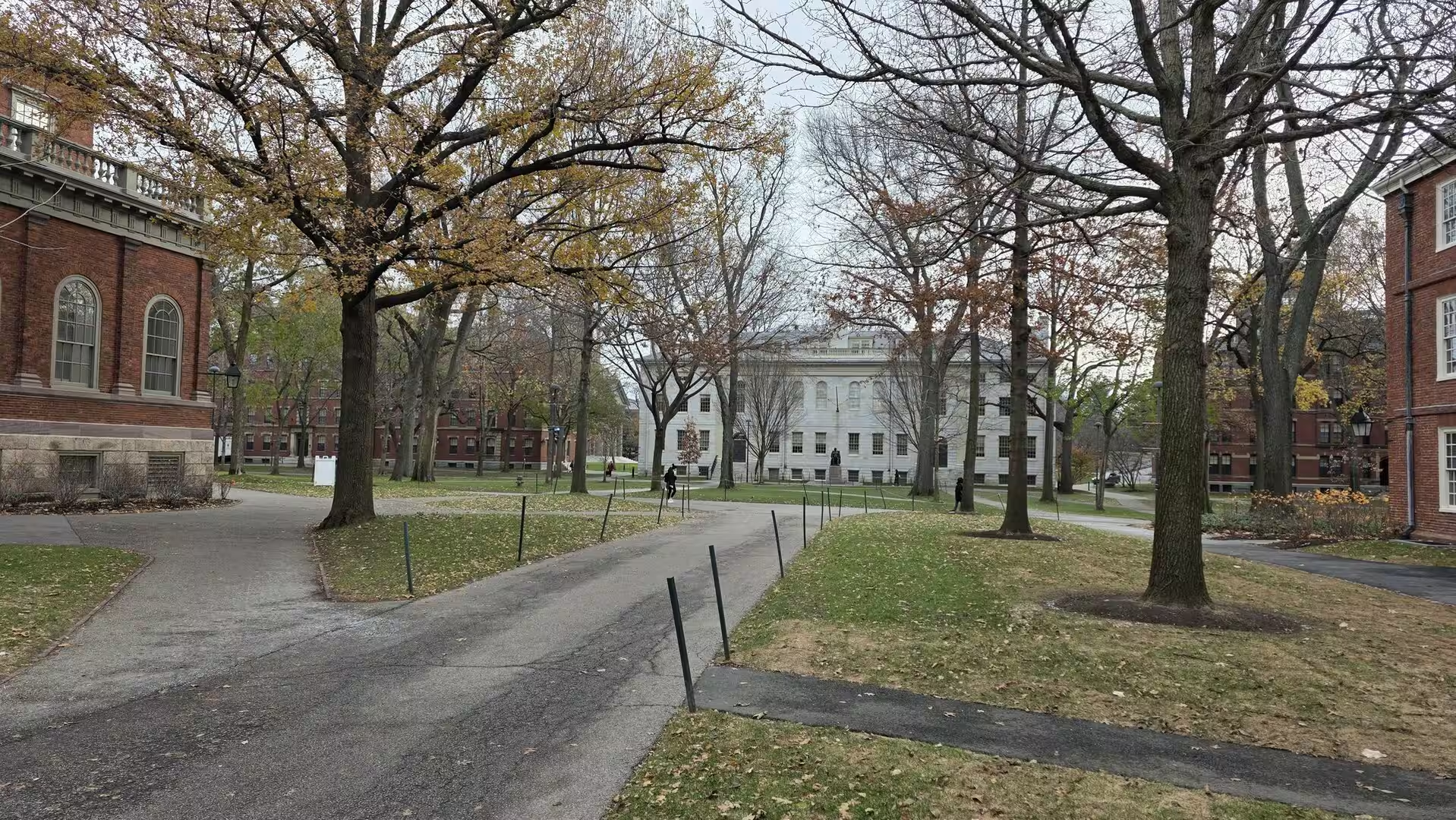
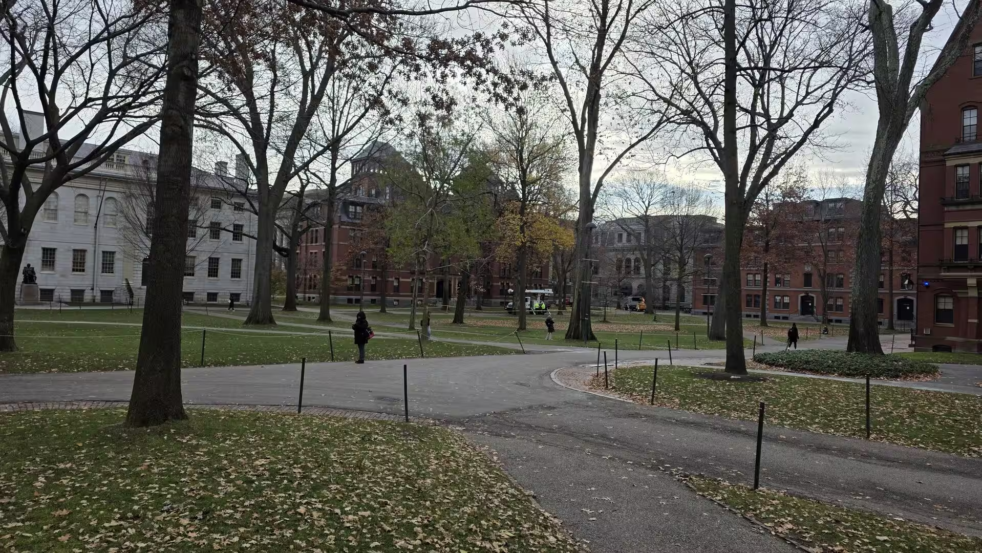
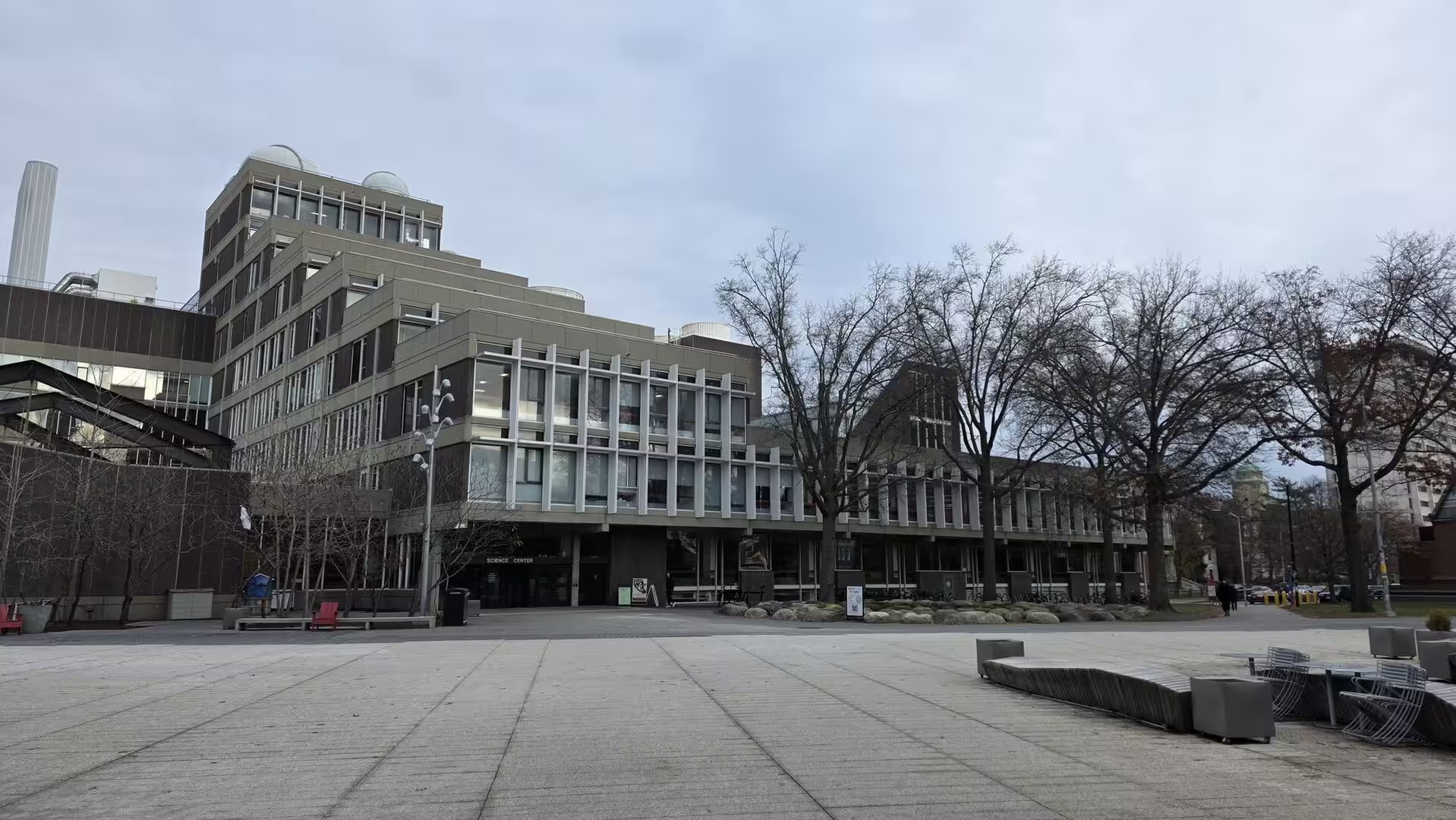
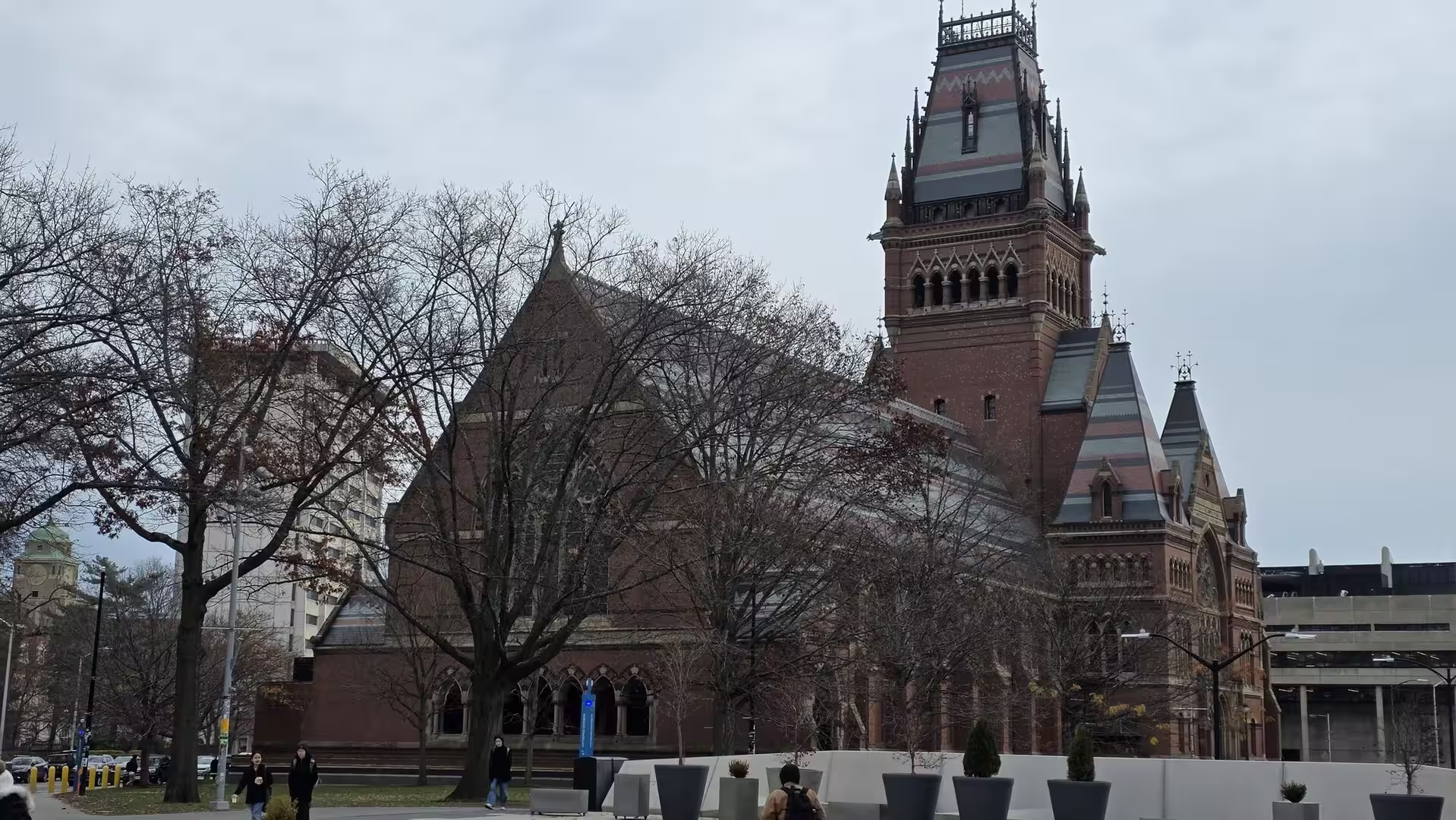
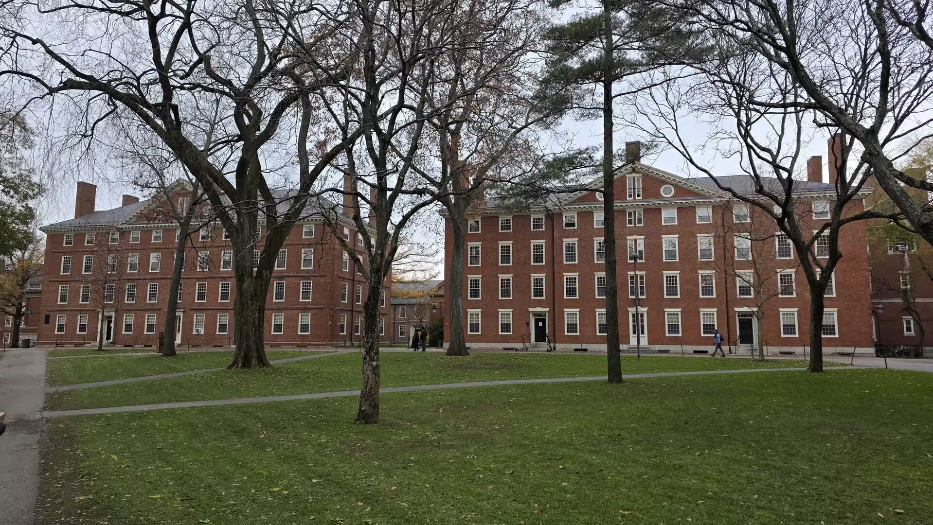
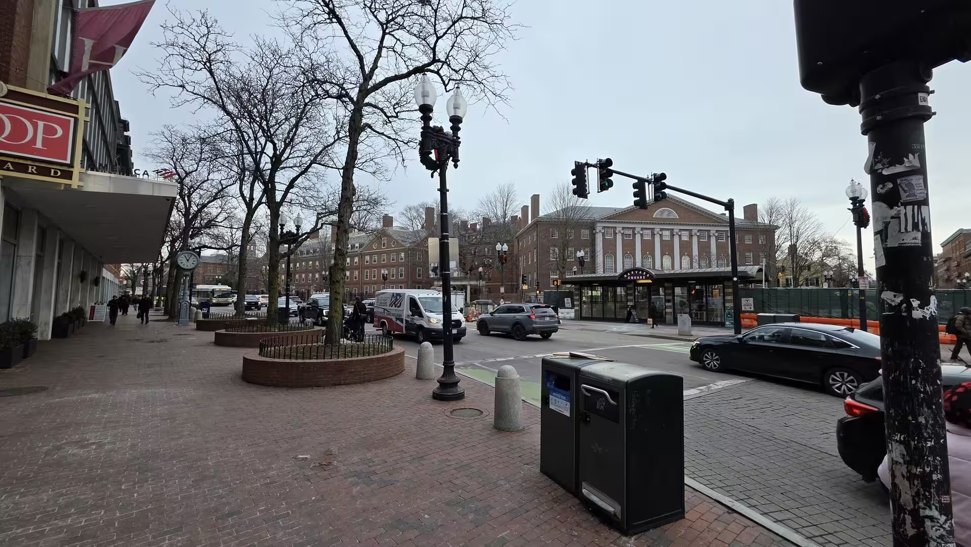
Back in Cambridge, across the Charles River from Boston, the campus of Harvard University surrounds its historic heart, Harvard Yard. The Yard, entered through its wrought-iron gates, is a green quadrangle lined with the red-brick buildings of the eighteenth and nineteenth centuries: Massachusetts Hall of 1720, the oldest surviving building of the university, the Georgian brick of the later dormitories and the chapel with its tall Gothic Revival tower. In early winter the elms and oaks of the Yard stand bare, and the paths between the buildings fill with students; beyond the Yard, the streets of Harvard Square, with their bookshops, cafés and brick frontages, carry the atmosphere of one of the oldest academic communities of America.
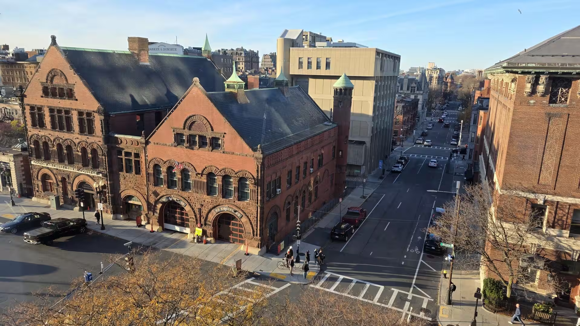
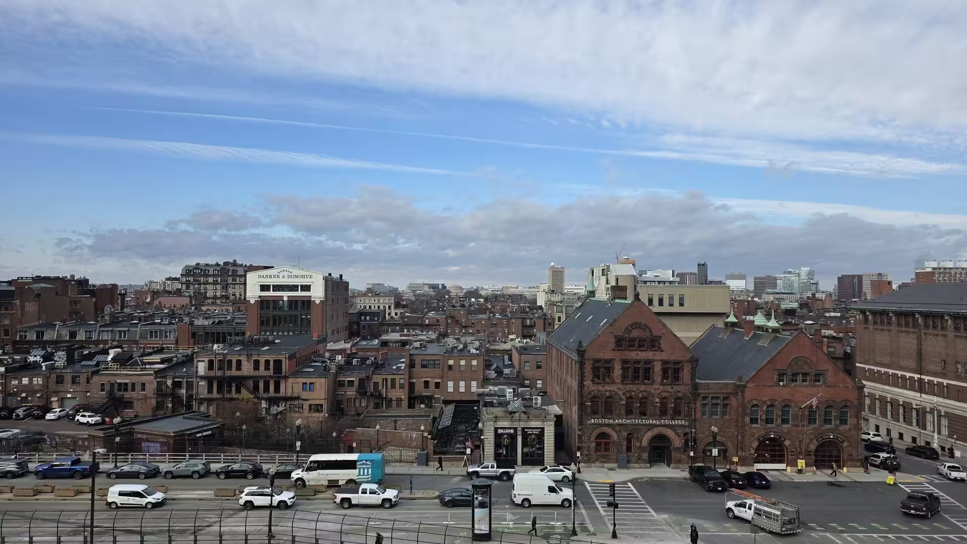
Across the river the panorama of Boston’s Back Bay is best seen from the upper floors of the towers along the Charles or from the bridges that span the river: a sea of brick and brownstone stretching from the gold dome of the State House on Beacon Hill to the towers of the modern city, with the green of the Common and the Public Garden in the foreground. The district itself, built entirely on land filled between 1857 and the end of the century, is a museum of Victorian architecture, laid out on the model of Paris with a central boulevard of shops and cafés. On its edge stands the Boston Architectural College, whose red-brick building with its studios and galleries belongs to the educational world that gives the city its character.
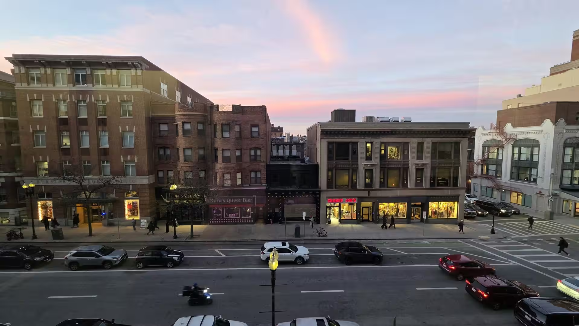
Boston after dark keeps the scale of a walking city. The streets of the old commercial centre, with their historic brick and stone facades, their fire escapes and their illuminated shopfronts, take on a theatrical air in the winter evenings, when the lights of the stores and restaurants glow against the early darkness and the pavements are quiet. The Back Bay boulevards, the waterfront of the harbour and the lantern-lit lanes of Beacon Hill close the day with the layered history that makes Boston, for all its modernity, one of the most legible of American cities: a place where the colonial town, the Victorian metropolis and the research capital of the twenty-first century stand visibly side by side.
References
- New Hampshire State Parks (2026). Odiorne Point State Park. www.nhstateparks.org/visit/state-parks/odiorne-point-state-park
- Wikipedia contributors (2026). Boston. en.wikipedia.org/wiki/Boston
- Wikipedia contributors (2026). History of Boston. en.wikipedia.org/wiki/History_of_Boston
- Wikipedia contributors (2026). Massachusetts Bay Colony. en.wikipedia.org/wiki/Massachusetts_Bay_Colony
- Wikipedia contributors (2026). Boston Tea Party. en.wikipedia.org/wiki/Boston_Tea_Party
- Wikipedia contributors (2026). Freedom Trail. en.wikipedia.org/wiki/Freedom_Trail
- Wikipedia contributors (2026). Back Bay, Boston. en.wikipedia.org/wiki/Back_Bay,_Boston
- Wikipedia contributors (2026). Boston Harbor. en.wikipedia.org/wiki/Boston_Harbor
- Wikipedia contributors (2026). Harvard University. en.wikipedia.org/wiki/Harvard_University
- Wikipedia contributors (2026). Odiorne Point State Park. en.wikipedia.org/wiki/Odiorne_Point_State_Park
- Wikipedia contributors (2026). Seacoast Science Center. en.wikipedia.org/wiki/Seacoast_Science_Center
- Wikipedia contributors (2026). Portsmouth Harbor Light. en.wikipedia.org/wiki/Portsmouth_Harbor_Light
- Wikipedia contributors (2026). Isles of Shoals. en.wikipedia.org/wiki/Isles_of_Shoals
- Wikipedia contributors (2026). Rye, New Hampshire. en.wikipedia.org/wiki/Rye,_New_Hampshire
- Wikipedia contributors (2026). Roxbury puddingstone. en.wikipedia.org/wiki/Roxbury_puddingstone