The Sonoran Desert is one of the most fascinating and ecologically diverse desert regions on Earth. Covering approximately 260,000 square kilometers, it extends across southern Arizona, southeastern California, the Baja California Peninsula, and large parts of northwestern Mexico, including the states of Sonora and Baja California. Unlike many other deserts that are defined only by heat and dryness, the Sonoran Desert is known for its extraordinary biodiversity, dramatic landscapes, and unique climate patterns.
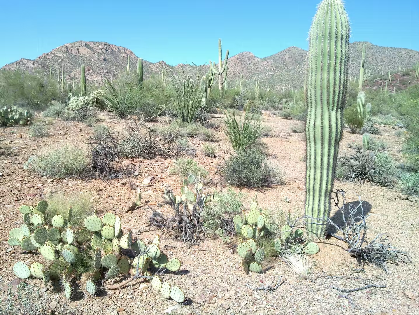
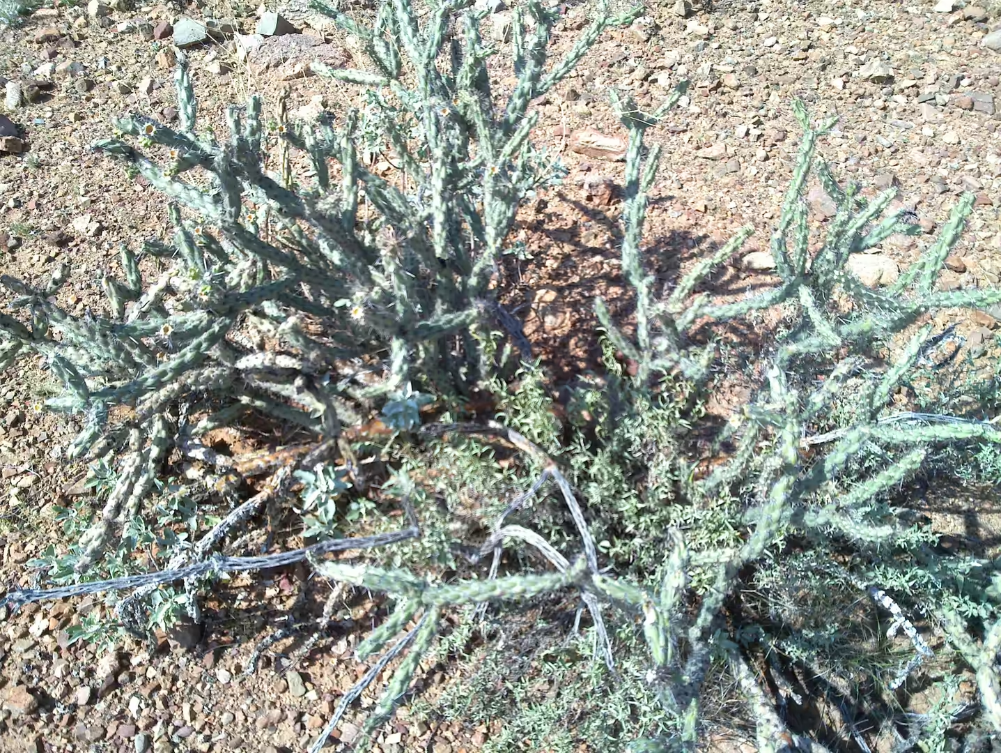
One of the defining characteristics of the region is its bimodal rainfall pattern. The desert receives precipitation during both winter and summer, creating seasonal bursts of life rarely seen in other arid environments. Winter rains arrive from Pacific storm systems, while summer monsoon thunderstorms build over the mountains and bring intense rainfall, lightning, and sudden flash floods. These seasonal changes allow a wide variety of plants to thrive, from towering saguaro cacti and ocotillo to palo verde trees, creosote bushes, mesquite forests, and colorful wildflowers.
Temperatures vary dramatically throughout the year. Summer days often exceed 45 °C, especially in low-elevation valleys around Phoenix and Yuma, while winter temperatures can be surprisingly mild and pleasant. Nights in the desert cool rapidly after sunset, creating large temperature differences between day and night. The changing light conditions throughout the day give the landscape its famous golden and red tones, particularly during sunrise and sunset.
The Sonoran Desert is also home to a remarkable range of wildlife. Coyotes, bobcats, desert tortoises, jackrabbits, roadrunners, Gila monsters, rattlesnakes, and javelinas are among the most recognizable species. Birds migrate through the region in large numbers, while mountain ranges and isolated canyons create habitats for rare and highly specialized plants and animals.
Today, the Sonoran Desert is not only an important natural environment but also a major destination for hiking, photography, astronomy, off-road exploration, and scientific research. Its landscapes have become iconic symbols of the American Southwest and northern Mexico.
History
Human history in the Sonoran Desert stretches back thousands of years. Archaeological evidence shows that early hunter-gatherer groups lived in the region long before the development of agriculture. Over time, indigenous cultures learned to adapt to the harsh desert climate through remarkable engineering, farming, and survival techniques.
One of the most significant ancient cultures of the region was the Hohokam civilization, which flourished between approximately 300 and 1450 CE in present-day Arizona. The Hohokam built extensive irrigation canal systems that carried water from rivers into agricultural settlements. Some of these canal alignments later influenced the modern canal infrastructure of the Phoenix metropolitan area.

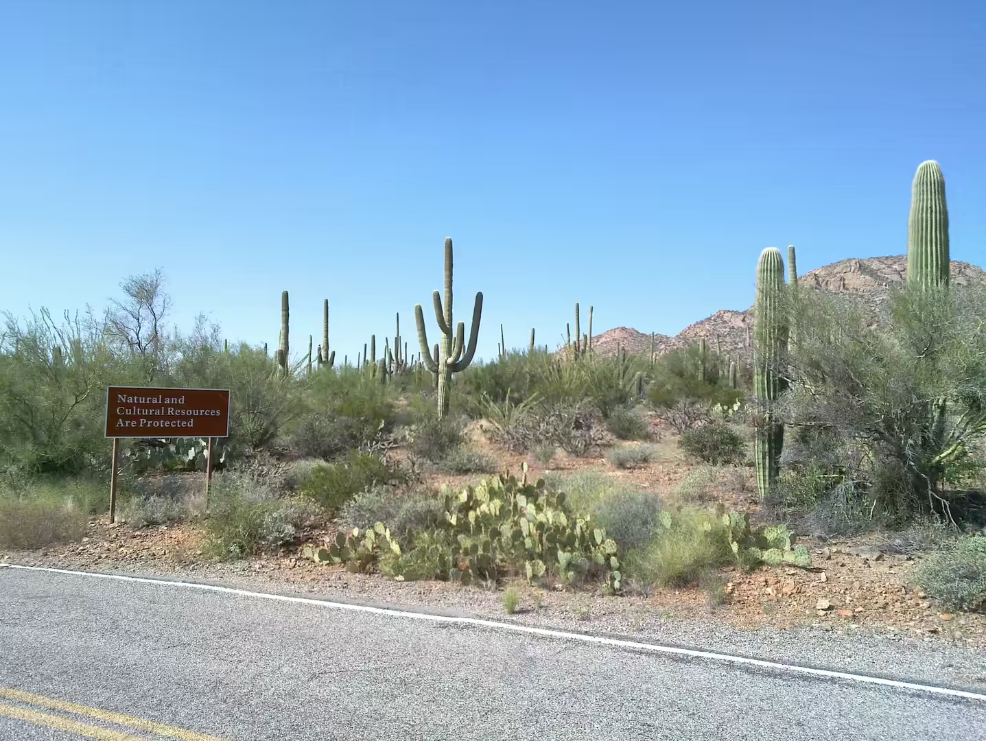
Other indigenous peoples, including the Tohono O’odham, Yaqui, Seri, and Pima communities, developed deep cultural and spiritual connections to the desert landscape. Many traditional practices, ceremonies, and survival strategies remain important today. The giant saguaro cactus in particular holds cultural significance for several indigenous groups and is closely tied to seasonal harvest traditions.
Spanish explorers and missionaries entered the region during the 16th and 17th centuries. Mission settlements, trade routes, and military expeditions gradually transformed parts of the desert. Jesuit and Franciscan missionaries established churches and agricultural communities, some of which still exist today as historic towns and mission sites.
During the 19th century, the Sonoran Desert became increasingly important for mining, ranching, transportation, and border expansion. Gold, silver, and copper discoveries led to mining booms and the creation of remote desert settlements. Railroads later connected isolated regions and accelerated urban growth.
In the 20th century, the desert became associated with scientific exploration, aerospace development, and military testing. Large desert areas were used for aviation training during World War II, while observatories and research centers took advantage of the region’s dry climate and clear skies. Modern cities such as Phoenix and Tucson expanded rapidly, transforming parts of the desert into major urban centers while protected parks and reserves preserved large natural areas.
Geology
The geology of the Sonoran Desert tells the story of millions of years of tectonic movement, volcanic activity, erosion, and climatic change. Most of the region belongs to the Basin and Range Province, a vast geological area characterized by alternating mountain ranges and broad valleys formed through crustal stretching.
Over time, tectonic forces pulled the Earth’s crust apart, creating fault-block mountains separated by sediment-filled basins. This process produced the dramatic landscape pattern that defines much of the American Southwest today. Many mountain ranges in the Sonoran Desert rise abruptly from flat desert plains, creating striking visual contrasts and isolated ecological zones.
Volcanic activity also played a major role in shaping the region. Ancient lava flows, volcanic craters, basalt formations, and ash deposits can still be found throughout Arizona and northwestern Mexico. In some areas, volcanic rock weathers into dark rugged landscapes, while granite mountains erode into giant boulder fields and steep canyon systems.
Water, despite being scarce, remains one of the most powerful geological forces in the desert. Seasonal monsoon storms create flash floods that rapidly carve washes, canyons, and dry riverbeds known as arroyos. These floods transport sediments across the valleys and form large alluvial fans at the base of mountain ranges.
The desert soils vary considerably depending on elevation, volcanic history, and drainage conditions. Some areas contain highly mineralized ground with red, orange, and purple coloration caused by iron oxides and weathering processes. Salt flats and dry lakebeds can also be found in lower elevations where water temporarily accumulates and evaporates.
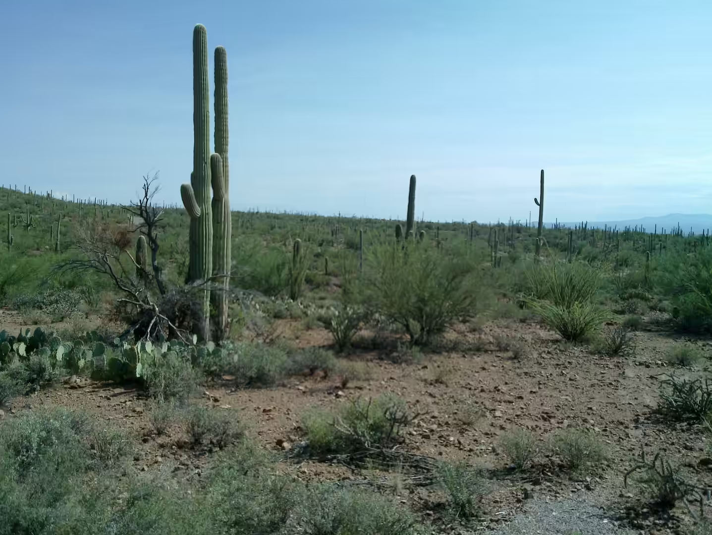
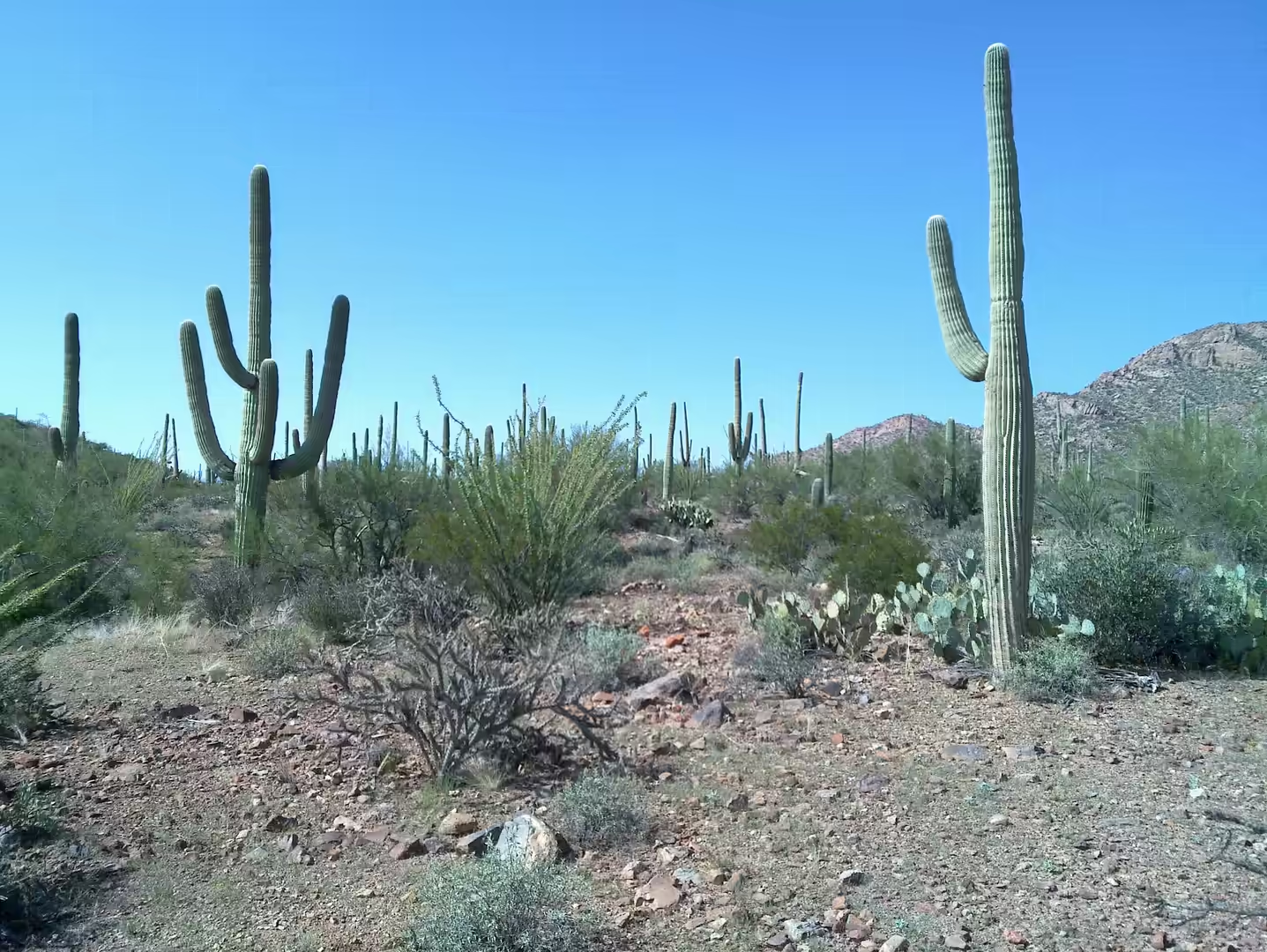
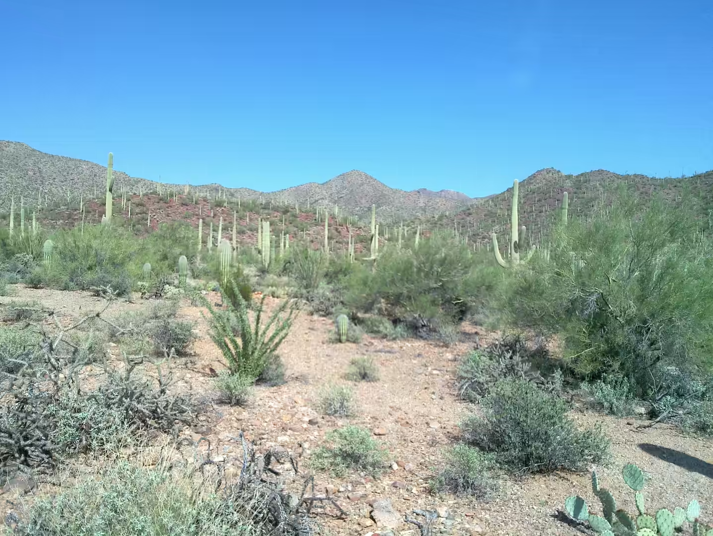
One of the most iconic geological and ecological features of the Sonoran Desert is the giant saguaro cactus. Saguaros grow only within a relatively narrow climatic zone where winter frost is limited and rainfall patterns are favorable. Some saguaros live for more than 150 years and can grow over 12 meters tall, becoming defining elements of the landscape.
Things to See
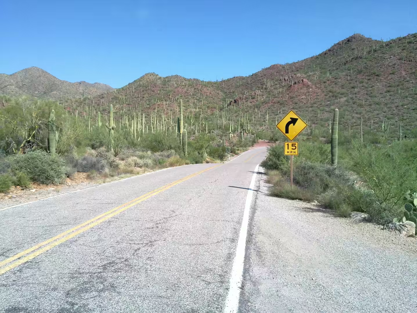
Saguaro National Park
Located near Tucson, Saguaro National Park protects some of the most famous cactus landscapes in the world. The park is divided into eastern and western sections, both featuring dense forests of giant saguaros, scenic mountain drives, hiking trails, and outstanding sunset photography opportunities. During spring, the desert blooms with colorful wildflowers and flowering cacti.
Organ Pipe Cactus National Monument
Near the Mexican border, this remote protected area contains one of the few places in the United States where organ pipe cacti naturally grow. The landscape is dominated by volcanic mountains, isolated valleys, and spectacular desert scenery. The monument is also recognized as a UNESCO Biosphere Reserve because of its ecological importance and biodiversity.
Anza-Borrego Desert State Park
This massive desert park in California is known for dramatic badlands, slot canyons, palm oases, and seasonal wildflower blooms. The landscape changes constantly depending on rainfall and light conditions. The park also offers excellent opportunities for stargazing due to its remote location and dark skies.
Arizona-Sonora Desert Museum
Located west of Tucson, this museum combines botanical gardens, wildlife exhibits, geological displays, and educational trails. Rather than functioning as a traditional indoor museum, much of the experience takes place outdoors within recreated desert habitats. It is considered one of the best places to understand the ecology and geology of the Sonoran Desert.
Kofa National Wildlife Refuge
This remote wilderness area is famous for rugged mountains, giant cactus forests, abandoned mining regions, and populations of desert bighorn sheep. The dramatic mountain silhouettes and vast open valleys create some of the most photogenic landscapes in Arizona.
Cabeza Prieta National Wildlife Refuge
One of the most isolated regions in the United States, this enormous protected desert area offers untouched wilderness, lava fields, sand dunes, and extreme remoteness. The refuge protects endangered desert species and preserves landscapes that appear almost unchanged for centuries.
Picacho Peak State Park
The steep volcanic peak rising from the flat desert floor is one of the most recognizable landmarks in southern Arizona. Hiking trails climb through rocky terrain with panoramic views across the surrounding desert basins. During spring, the area becomes covered with wildflowers after sufficient winter rainfall.
Palm Canyon
Hidden within the Kofa Mountains, Palm Canyon contains a rare grove of native California fan palms growing in a narrow canyon environment. The contrast between lush palms and dry rocky desert walls makes it one of the most unusual locations in the region.
Desert Monsoon Storms
Although not a specific location, experiencing a summer monsoon storm is one of the most memorable desert phenomena. Towering thunderclouds, lightning, sudden rainfall, dust storms, and dramatic skies transform the landscape within minutes and reveal the dynamic nature of the Sonoran Desert.