2023 Madeira – Day 7

The levadas of Madeira represent one of the most extensive and historically significant water-management systems in the Atlantic island world. These linear irrigation channels traverse steep volcanic terrain, transporting water from the humid, high-precipitation regions of the island’s interior and northern slopes to drier agricultural zones, particularly along the southern coast. Beyond their technical function, levadas have profoundly shaped Madeira’s landscape, settlement patterns, and ecological structure and remain a defining feature of the island’s cultural and physical geography.

„2023 Madeira – Day 7“ weiterlesen

2023 Madeira – Day 3

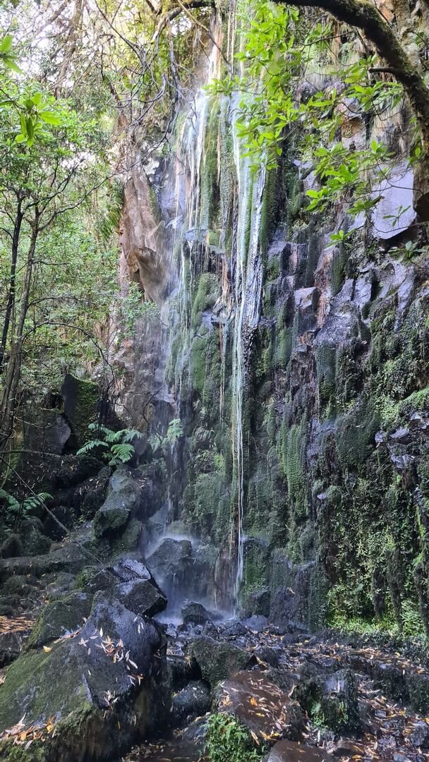
Levada dos Cedros Region – General Overview

The Levada dos Cedros region is located in the northwestern highlands of Madeira, primarily within the municipality of Porto Moniz, near the Fanal plateau. The area forms part of Madeira’s extensive levada network and lies within a largely intact mountainous interior characterized by high humidity, frequent cloud cover, and limited permanent settlement. The region is situated at elevations generally exceeding 900 meters above sea level and is strongly influenced by orographic and Atlantic climatic processes.

„2023 Madeira – Day 3“ weiterlesen