A long road journey from Guelmim to Laayoune, crossing Morocco’s southern interior before reaching the Atlantic coast near Tan-Tan and El Ouatia. The route continues south through Akhfenir and the Tarfaya region before turning inland toward Laayoune. With more than 450 kilometers of driving, long coastal plains, dry landscapes and remote Atlantic road sections, this track shows the vast open character of southern Morocco between desert and ocean.
The journey began in Guelmim, a city often described as one of the gateways between Morocco’s inland south and the Atlantic Sahara. After several long days through the interior of the country, across high plateaus, desert roads, oasis towns and remote valleys, this route brought a new change in scenery. The road now turned southwest and then south, leaving the inland desert routes behind and moving toward the Atlantic coast and the vast open landscapes of southern Morocco.
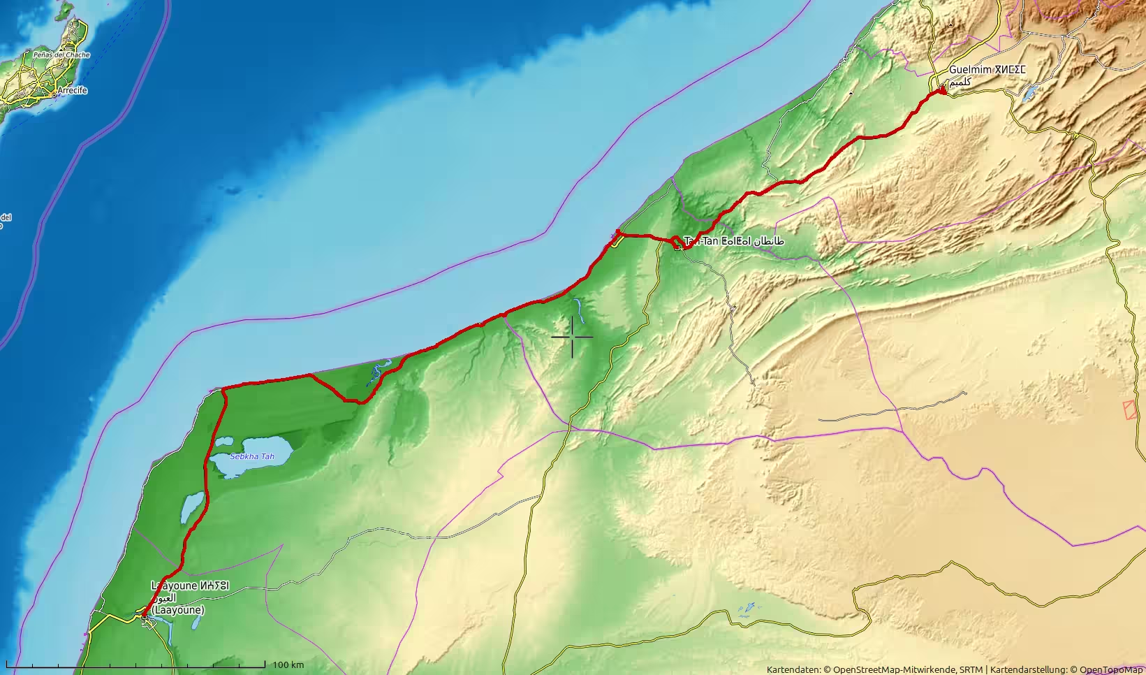
Guelmim was a natural starting point for this stage. It lies at the meeting point of different Moroccan travel worlds: the Anti-Atlas to the north and east, the desert interior to the south, and the Atlantic routes farther west. After arriving there from Zagora the previous day, the journey now continued into a region that felt broader, emptier and more exposed. The route would lead from Guelmim toward Tan-Tan, then to the Atlantic coast near El Ouatia, along the long coastal road past Akhfenir and Tarfaya, and finally inland again toward Laayoune.
The morning started at a moderate elevation, around 300 meters above sea level. Leaving Guelmim, the road first crossed dry inland terrain. The landscape was open, with pale hills, wide plains and low vegetation. There was still a sense of the Moroccan interior here, but the direction of travel had changed. The road was no longer heading through oasis valleys or toward desert towns in the east. It was moving toward the coast and the Atlantic edge of the country.
At first, the scenery remained dry and inland. The road ran through broad, exposed country south of Guelmim, where settlements became less frequent and the horizon expanded. The early part of the route gradually descended from the higher land around Guelmim toward lower terrain. The GPS track showed a steady movement through arid country, with long stretches of road and only slow changes in the landscape.
This first section had a quiet, transitional character. It was not yet the Atlantic road, but it already carried the feeling of leaving the more mountainous and inland south behind. The road was open and direct, the land increasingly flat, and the sky became one of the dominant features of the journey. Compared with the routes through the Anti-Atlas margin, the landscape here felt less enclosed and more horizontal.
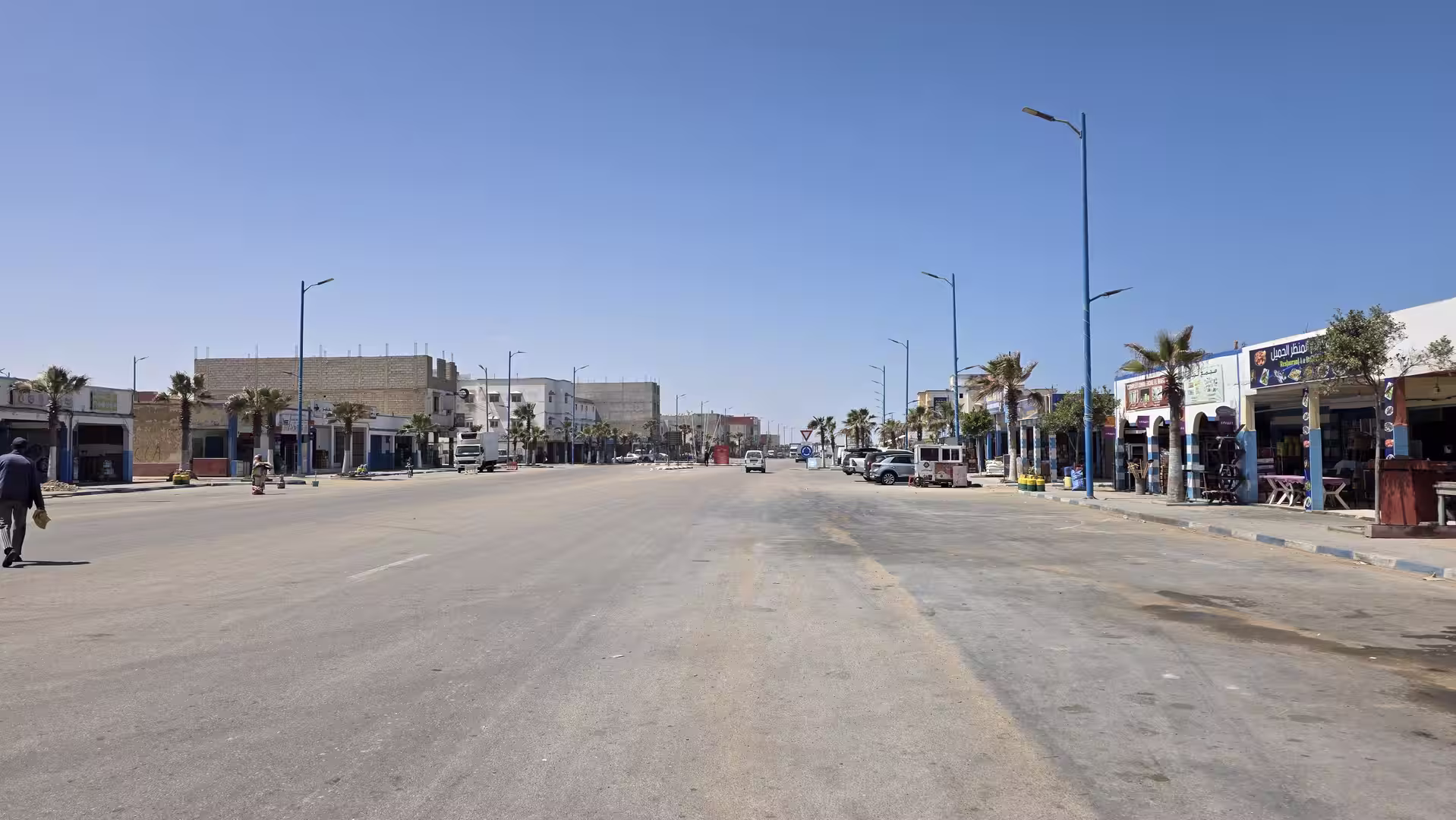
The first major orientation point was Tan-Tan. The route approached the town after a long southward drive across dry land. Tan-Tan is an important place on the road between Guelmim and the southern Atlantic regions. It stands between inland desert routes and the coast, and it marks one of the key transitions of the day. Reaching this area meant that the journey had left the Guelmim region behind and was now entering the long corridor toward Laayoune.
Tan-Tan itself has the practical character of a southern Moroccan road town. In such a landscape, towns are important because the distances between them are large. They offer services, orientation and a clear pause in an otherwise open route. After the long first section from Guelmim, the wider Tan-Tan area provided a natural point to slow down and prepare for the coastal part of the journey.
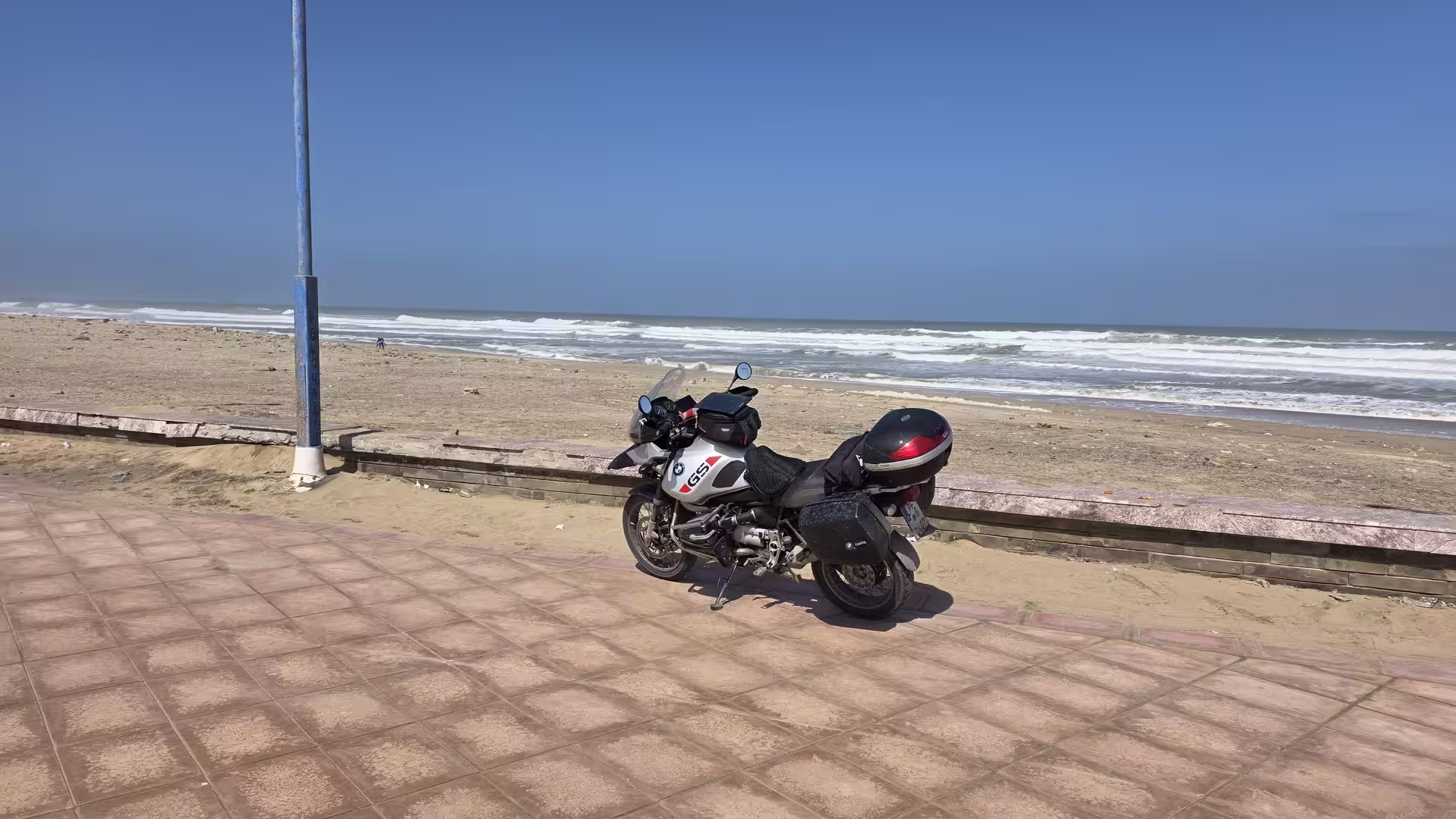
From Tan-Tan, the road continued toward the Atlantic coast, reaching the area around El Ouatia, also known as Tan-Tan Plage. This was the first major change in atmosphere. After the dry inland landscapes of the morning, the route finally met the ocean. The GPS track showed a longer stop in this coastal area, which divided the journey into two very different chapters: the inland road from Guelmim to Tan-Tan, and the Atlantic road south toward Laayoune.
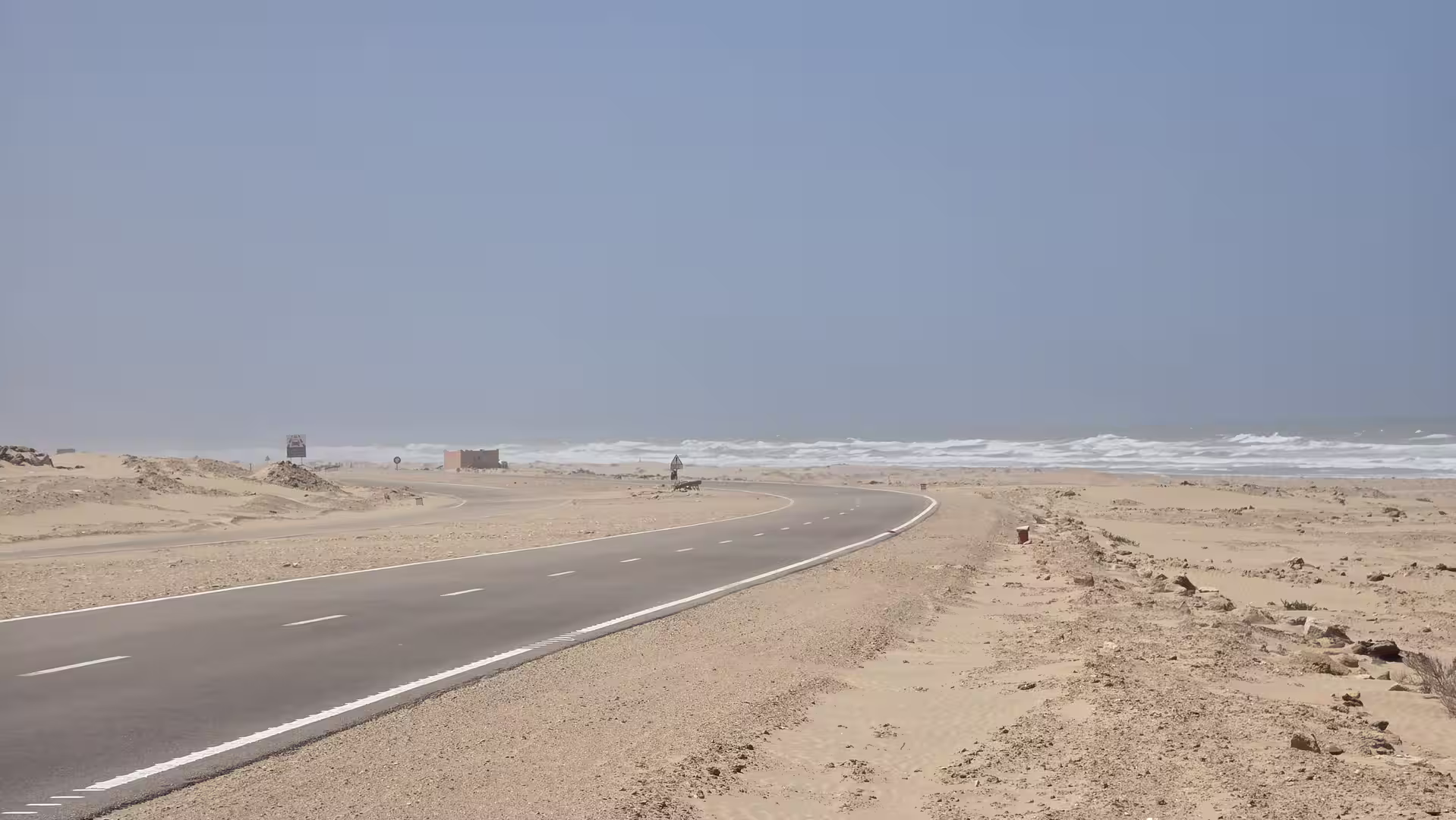
The stop near El Ouatia was one of the defining moments of the day. The elevation dropped almost to sea level, and the landscape changed from inland dryness to a coastal environment. The Atlantic coast here is not like the developed seaside regions farther north in Morocco. It feels raw, open and exposed. The ocean, the wind, the pale land and the sparse settlement pattern give this coastline a remote atmosphere.
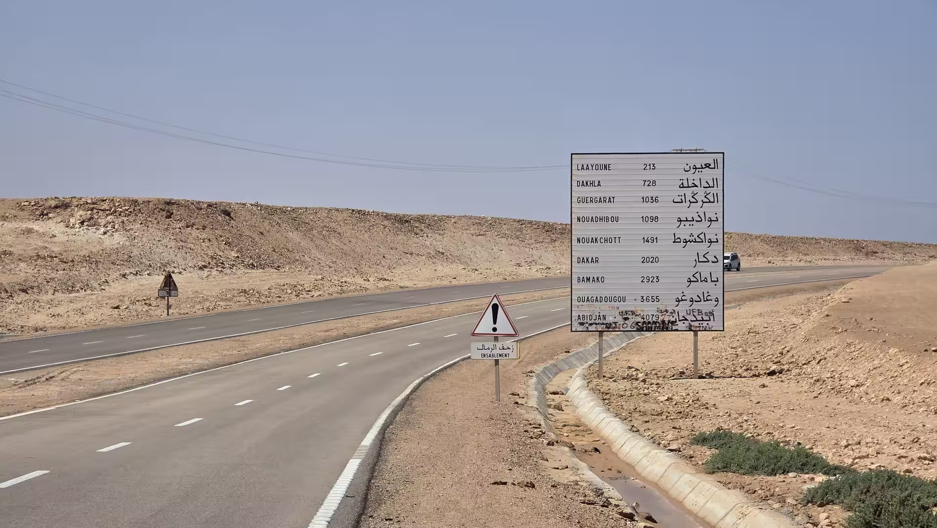
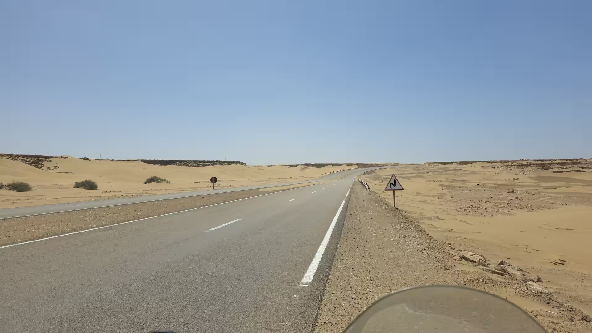
After this coastal pause, the journey continued south along the Atlantic road. This section was the main character of the day. The road followed the coast through a long, sparsely populated region where the land and ocean run almost parallel for many kilometers. The landscape was simple but powerful: flat or gently rolling terrain, dry plains, low cliffs in places, occasional settlements, and the constant presence of the Atlantic.

The route toward Akhfenir carried the feeling of a true long-distance coastal drive. The road was often direct, but the scenery remained engaging because of its scale. There were fewer dramatic bends than in the Rif Mountains or the Anti-Atlas routes, yet the road had its own intensity. The openness of the coast, the lack of dense settlement, and the distance between towns created a strong sense of remoteness.
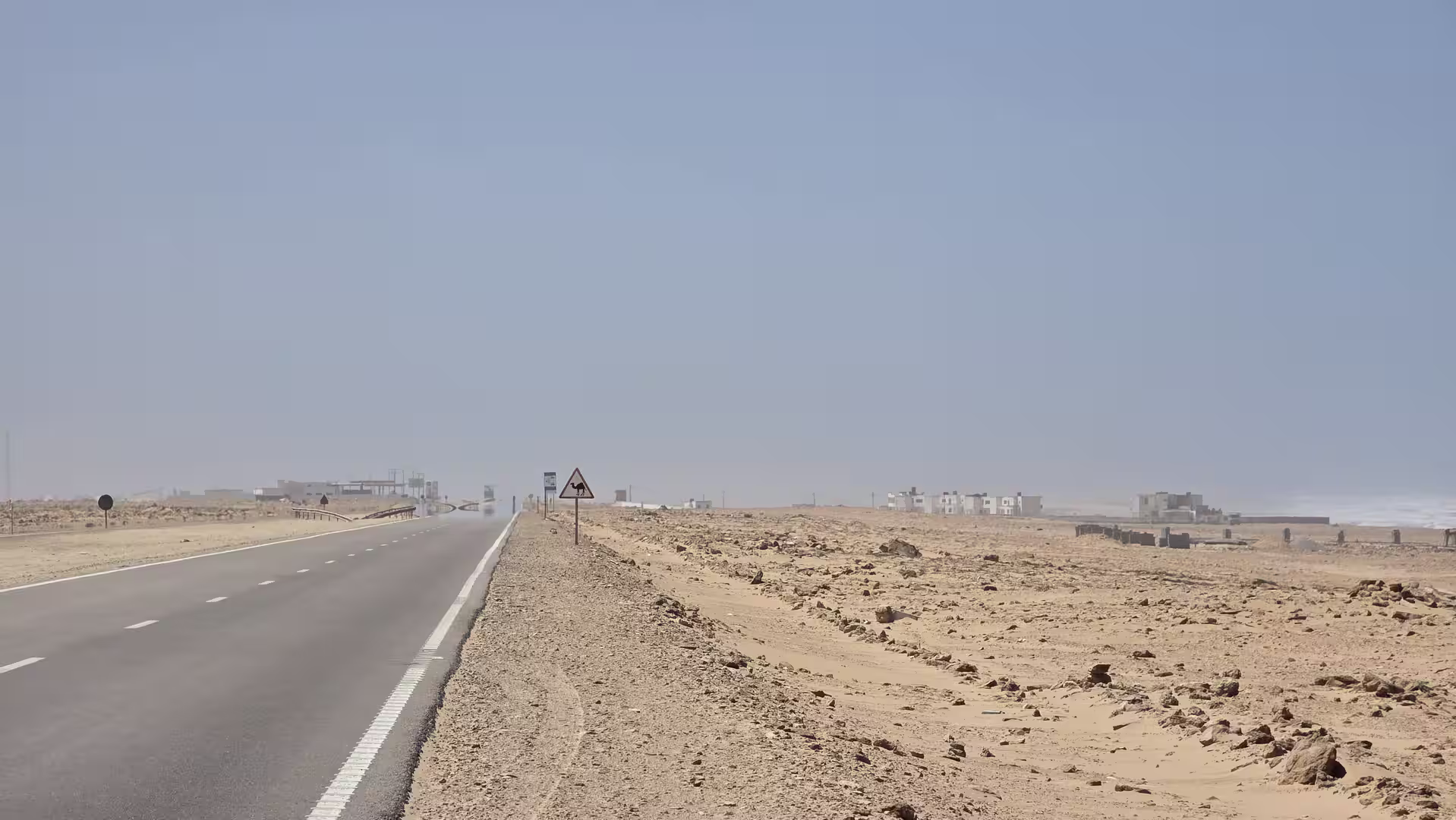
Akhfenir became the next important point along the route. The GPS track showed another stop in this area, after a substantial section of coastal driving. Akhfenir lies along the southern Atlantic road and is often experienced as a small but significant waypoint between Tan-Tan and Tarfaya. In a region of long spaces, even a small settlement becomes important. It gives structure to the journey and marks progress along the coast.
The stop near Akhfenir also came at a good moment in the day. The route had already covered more than 250 kilometers from Guelmim, including the inland section, the arrival at the coast and the first long coastal stretch. Taking a break here made the journey feel less like a continuous drive and more like a sequence of southern Moroccan travel stages: Guelmim, Tan-Tan, El Ouatia, Akhfenir, and onward toward Tarfaya.
South of Akhfenir, the road continued through one of the most open parts of the day. The landscape remained close to sea level, with broad Atlantic light and long horizontal views. The road passed through an environment where the coast can feel both nearby and distant at the same time. Sometimes the ocean is visually present. At other times, the road runs slightly inland, across dry land that still carries the influence of the sea through wind, light and atmosphere.
This was a very different kind of beauty from the previous days. There were no green valleys, no high mountain passes, no dense towns and no dramatic oasis corridors. The beauty of this section was in the emptiness. The road, the sea, the sky and the dry land formed a reduced landscape. For travelers who enjoy remote coastal drives, this part of southern Morocco has a strong and memorable character.
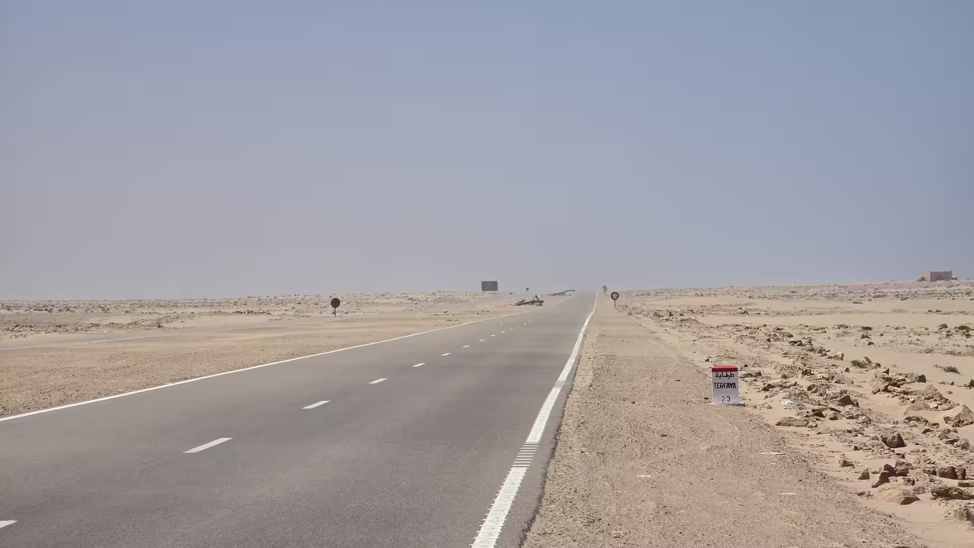
The route then approached the wider Tarfaya area. Tarfaya is one of the most evocative names on this part of the coast, associated with the southern Atlantic, long-distance travel and the feeling of being far from Morocco’s more visited regions. Passing this area gave the journey a new sense of distance from the north. The route had moved a long way from Guelmim and was now well inside the Atlantic Sahara corridor.

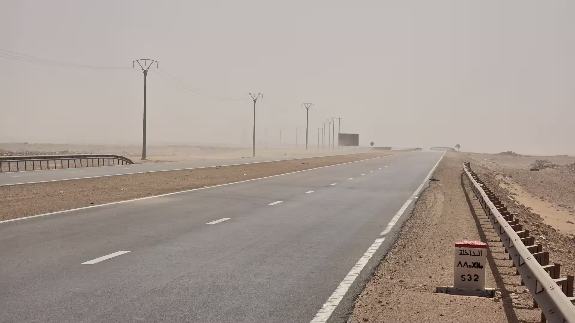
Around this part of the day, the landscape remained low and open. The GPS track showed elevations close to sea level for long sections, often only a few dozen meters above the ocean. This gave the journey a flat, exposed character. Compared with the high plateau roads of eastern Morocco or the routes through the Draa and Anti-Atlas regions, this road felt almost horizontal. The movement was not up and down, but forward across space.
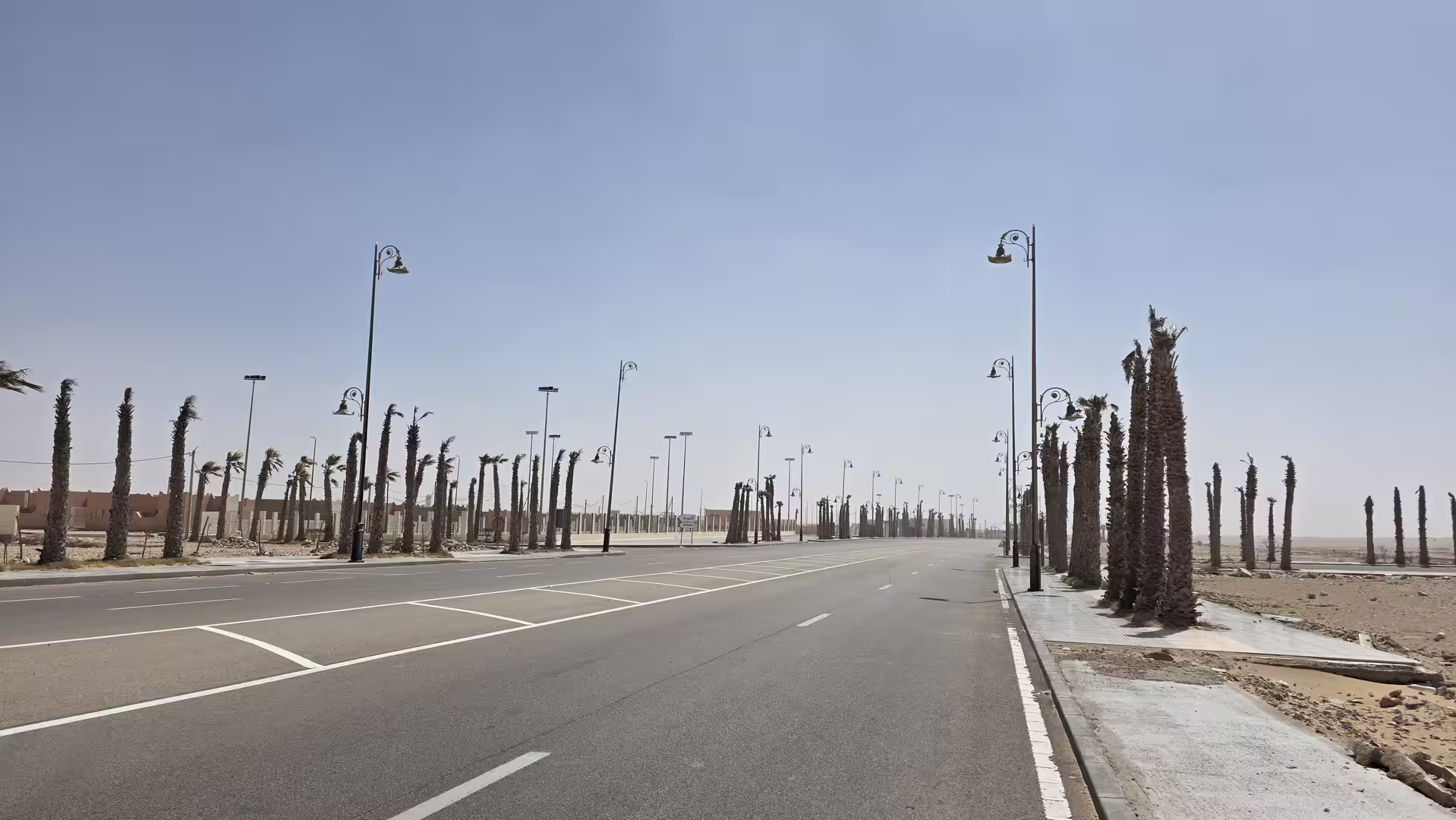
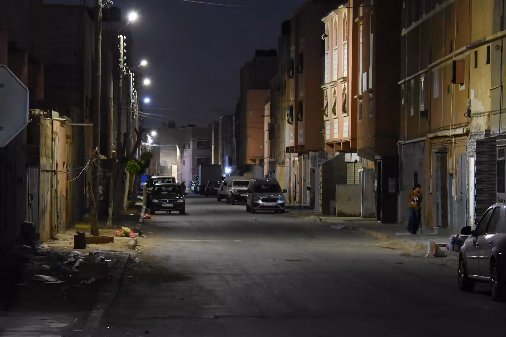
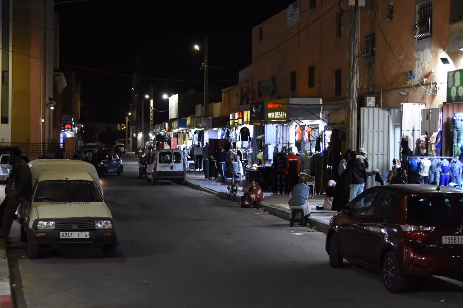
Beyond Tarfaya, the route gradually turned away from the immediate coast and began the final approach toward Laayoune. This was another important transition. The Atlantic remained part of the wider geography, but the road now led inland across open plains. The destination was no longer a small coastal waypoint but Laayoune, the largest urban center in the region and a major city of southern Morocco.
The final section toward Laayoune had a strong sense of arrival. After hours of open coastal and near-coastal driving, the road began to approach a larger urban area. The landscape remained dry and spacious, but there were more signs of infrastructure, settlement and movement. The route left behind the long empty stretches of the Atlantic road and entered the wider Laayoune region.
The GPS track ended in Laayoune in the late afternoon. The route covered approximately 454 kilometers from Guelmim, with a recorded travel span from the morning into the afternoon. The moving time was a little over five hours, while stops accounted for around two hours. The highest elevation was near the beginning of the route, around the Guelmim area, and the road then descended gradually toward the coast and the low Atlantic plains.
What made this journey memorable was the strong geographic transition. The day began inland, in the dry southern landscapes around Guelmim. It then moved toward Tan-Tan, reached the Atlantic at El Ouatia, followed the long coastal road through Akhfenir and the Tarfaya region, and finally turned inland again toward Laayoune. The route connected the inland south with the Atlantic Sahara.
Compared with the previous inland tracks, this day felt more linear and more open. The road had fewer dramatic changes in altitude, but it carried a powerful sense of distance. The landscape unfolded horizontally: dry land, ocean, sky, plains, and long stretches of road. It was not spectacular in the conventional sense, but it was deeply atmospheric.
The road from Guelmim to Laayoune is a route for travelers who appreciate space. It is a journey through a part of Morocco where the distances are large and the settlements are far apart. The rhythm of the trip is defined by long driving sections and important stops at towns and coastal waypoints. Guelmim, Tan-Tan, El Ouatia, Akhfenir, Tarfaya and Laayoune are not just names on the map. They are the structure of the route.
The coastal section was the heart of the journey. Reaching the Atlantic after the dry inland road changed the atmosphere completely. The sea did not make the landscape feel softer or more populated. Instead, it added another dimension of openness. The Atlantic coast of southern Morocco is raw, windy and spacious. It feels remote not because it is difficult to understand, but because it is so large and lightly settled.
This route also showed another face of Morocco’s south. The previous days had crossed mountains, high plateaus, desert towns and oasis corridors. This day belonged to the Atlantic edge. It was still arid, still remote, and still defined by long distances, but the presence of the ocean changed everything. The light was different, the air felt different, and the route had a maritime horizon even when the sea was not directly visible.
For travel photography, the route offers subjects that are very different from the inland desert roads: empty Atlantic highways, low coastal settlements, dry plains, ocean light, roadside scenes, and the contrast between land and sea. For a road trip narrative, it offers a clear and satisfying progression from inland Morocco to the Atlantic and then south to Laayoune.
By the end of the day, the journey had moved from Guelmim to Laayoune, from the southern inland gateway to the Atlantic Sahara corridor. It had followed dry roads, coastal plains, small towns and long horizons. It was a demanding route, but not because of difficult mountain driving. Its challenge lay in distance, exposure and the sheer scale of the landscape.
The memory of the day is one of openness. The road leaving Guelmim, the arrival at the Atlantic near El Ouatia, the long coastal section past Akhfenir and Tarfaya, and the final approach to Laayoune all belonged to the same broad impression: southern Morocco as a vast space between desert and ocean.
This was not only a transfer stage. It was a journey along one of Morocco’s great geographic edges: the meeting of dry land, empty roads and the Atlantic coast.