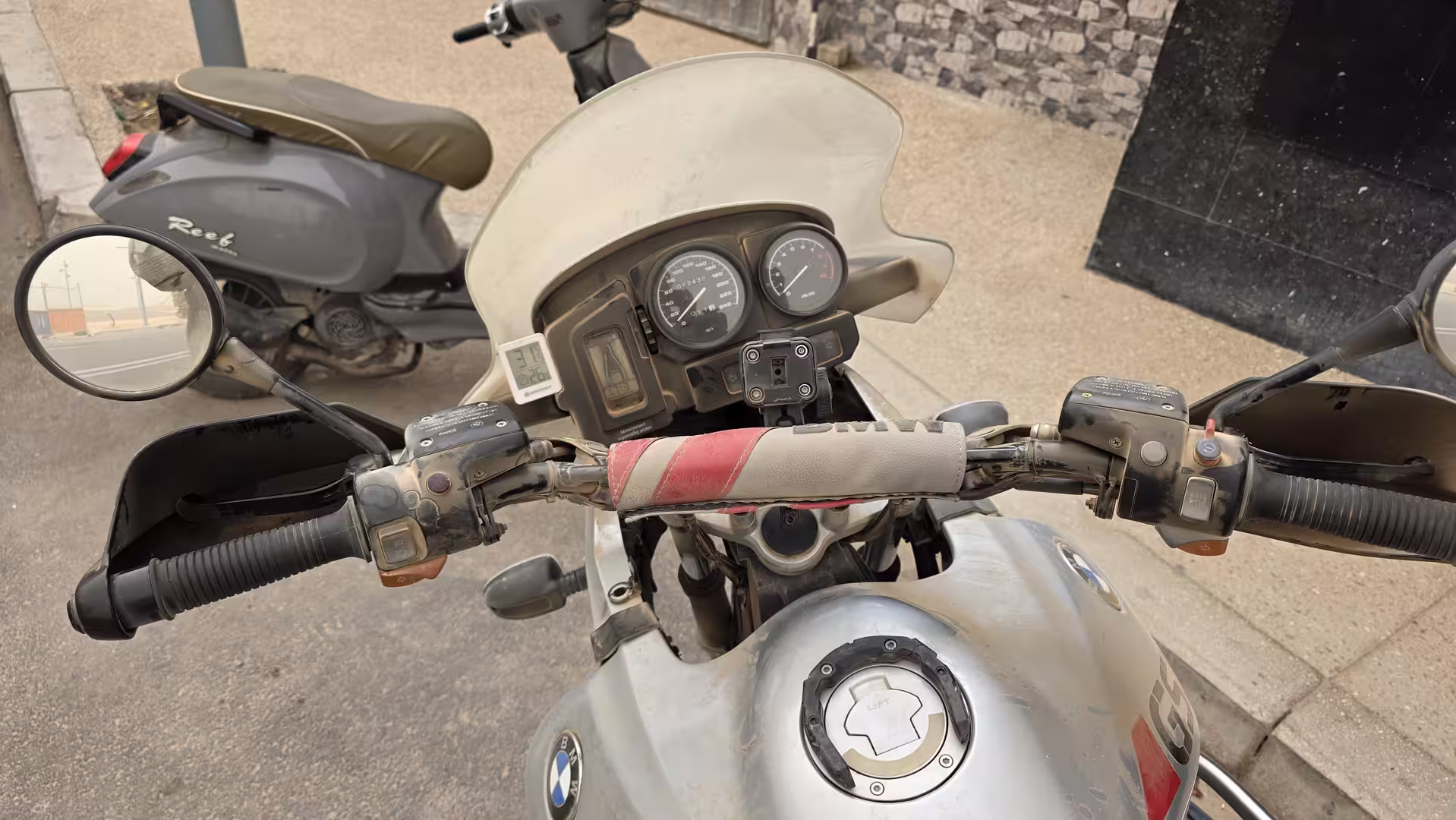
A long southbound road journey from Laayoune to Dakhla along Morocco’s southern Atlantic corridor. The route passes through Boujdour and continues across more than 500 kilometers of open desert plains, low coastal landscapes and remote road sections before reaching the Dakhla peninsula. With wide horizons, sparse settlements and the constant presence of the Atlantic, this track captures the vast and exposed character of travel through the Atlantic Sahara.
The journey began in Laayoune, the largest city along this part of the southern Atlantic route. After the previous day’s drive from Guelmim down through Tan-Tan, Akhfenir and the Tarfaya region, the road had already entered a different Morocco: wider, flatter, more exposed, and increasingly shaped by the Atlantic and the Sahara. This new stage continued even farther south, following the long road from Laayoune toward Dakhla, one of the most remote and atmospheric destinations on Morocco’s Atlantic edge.
The day started in the morning, with the route leaving Laayoune and heading south. At first, the surroundings still carried the traces of a larger city. There were roads, buildings, industrial areas, traffic, and the infrastructure of an important regional center. But as soon as the route moved away from the urban zone, the landscape opened quickly. The city disappeared behind the road, and the immense scale of the southern Atlantic Sahara took over.
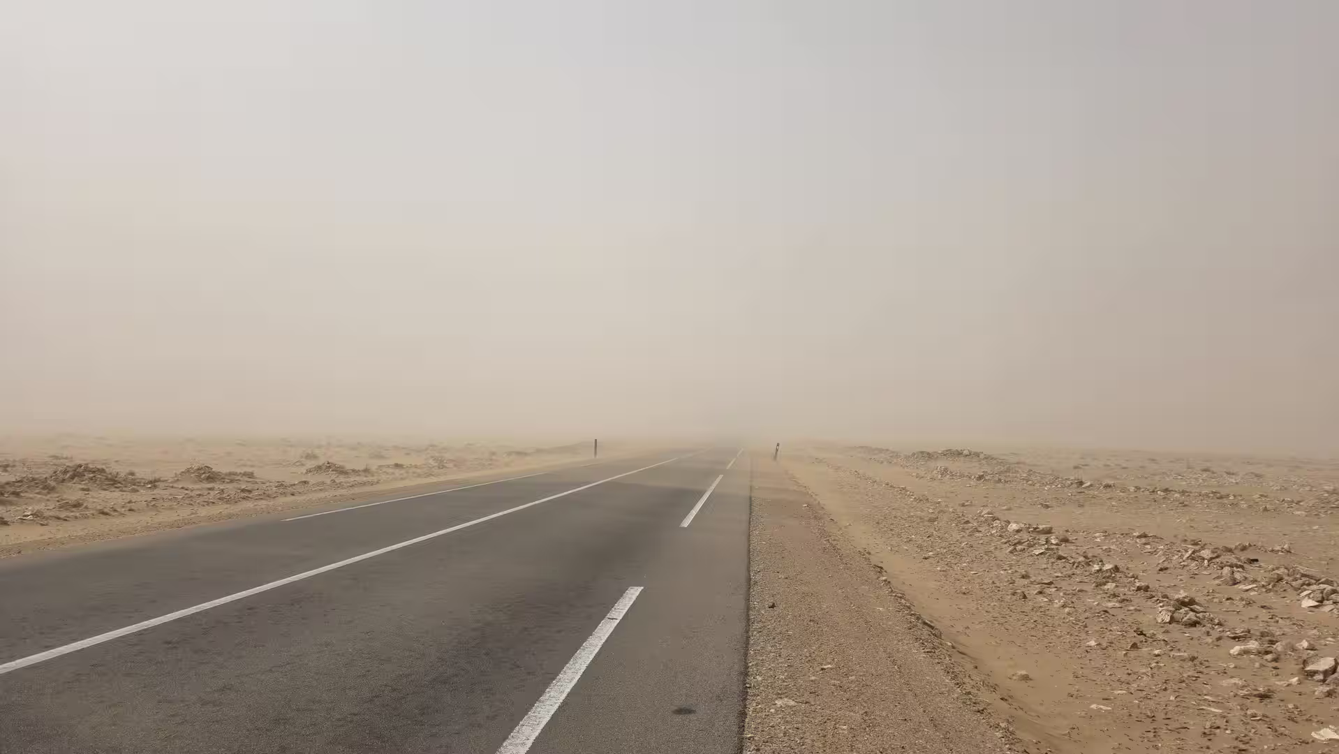
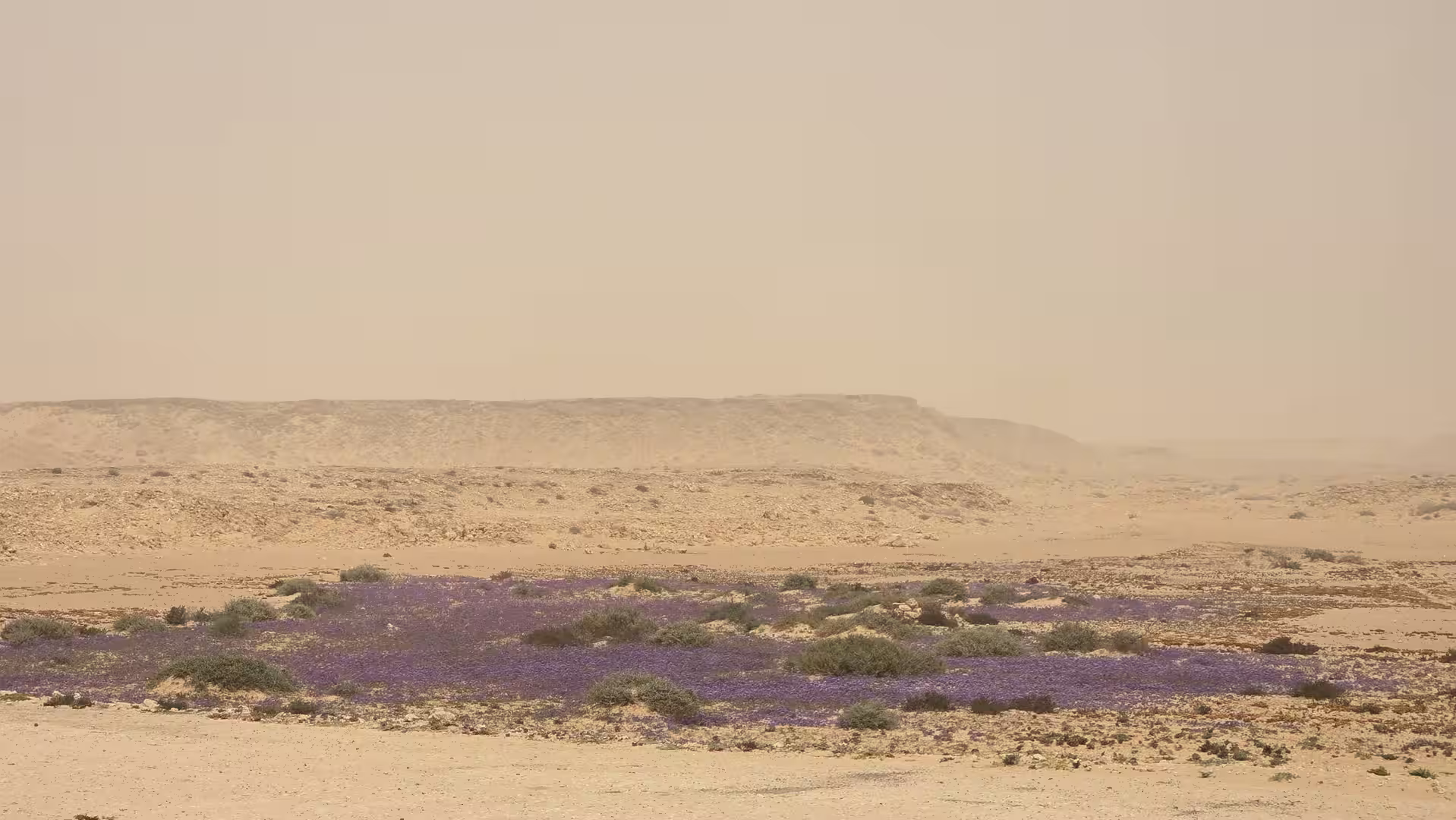
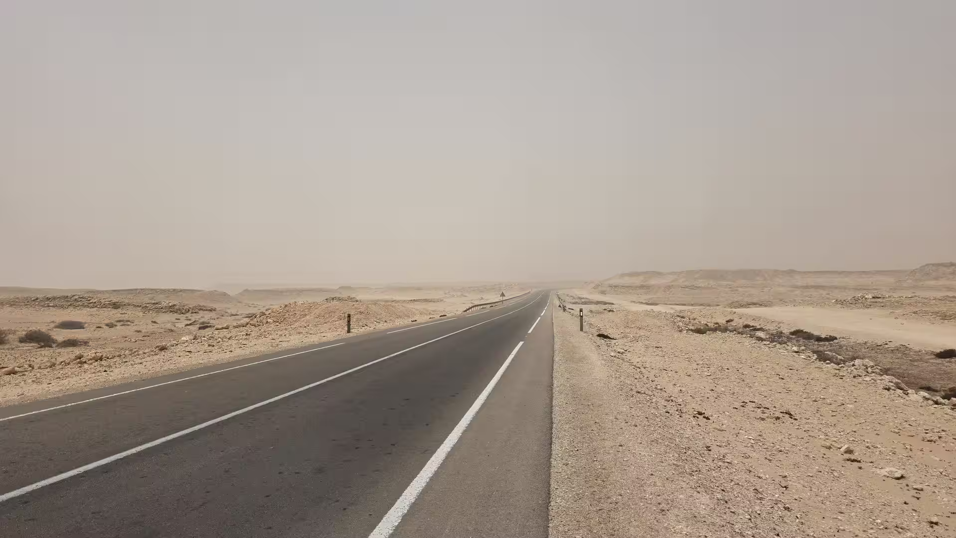
This was not a route of tight curves, dramatic mountain passes, or green valleys. It was a route of distance. The road ran across broad, dry land where the horizon seemed almost endless. The landscape was low, open, and exposed, with pale earth, sparse vegetation, long straight stretches and the constant feeling of moving through a large space. The Atlantic was not always directly visible, but it shaped the atmosphere of the journey. The light, the wind and the sense of emptiness all belonged to the coast.
Leaving Laayoune, the route first crossed slightly elevated terrain. The GPS track showed elevations around and above 100 meters near the beginning of the journey, before the road gradually descended toward lower coastal plains. This made the first part of the day feel like a slow departure from the urban inland edge of Laayoune toward the Atlantic corridor farther south.
The road south of Laayoune had a calm but powerful character. There were few strong visual interruptions. Instead, the journey developed through repetition: road, sky, dry ground, distant horizon, and occasional roadside structures. This kind of landscape can feel empty at first, but on a long road trip it becomes deeply memorable. The scale of the place is the experience.
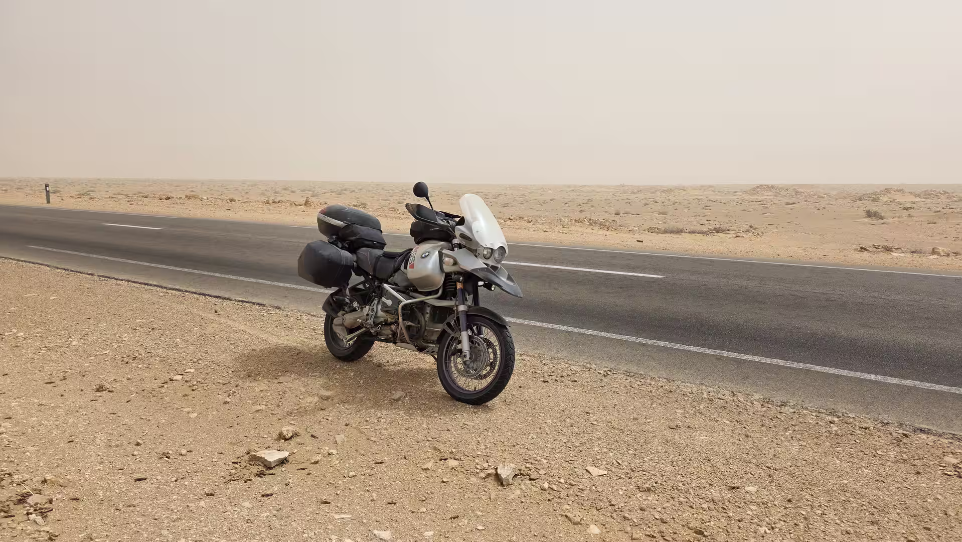
The first long section led through the open country south of Laayoune. The road was direct and fast in places, but the distance remained very real. After more than 100 kilometers, the track showed a short stop. In this kind of region, even a brief pause becomes important. It breaks the concentration of the road and gives a moment to step out into the vast surrounding landscape.
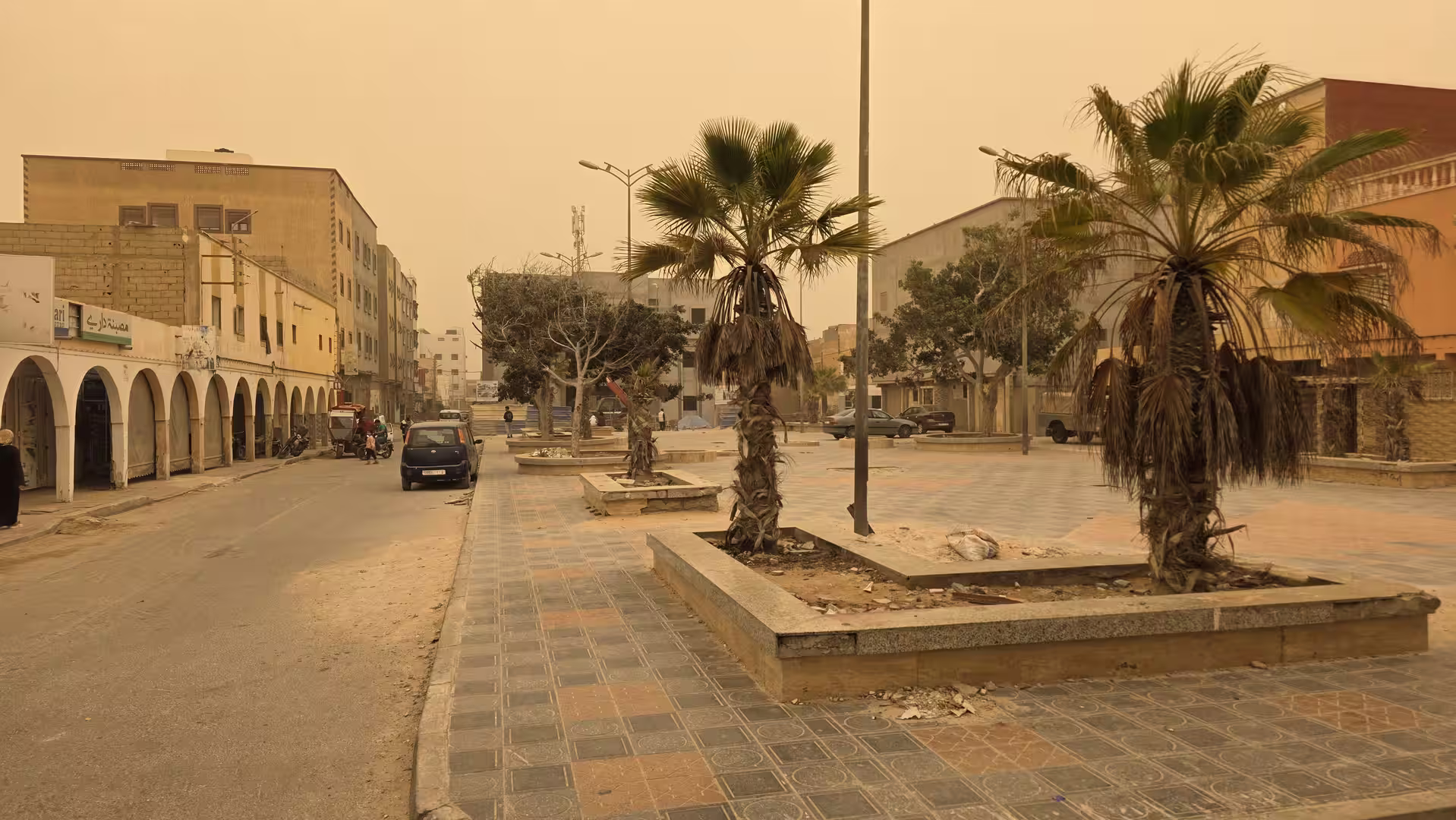
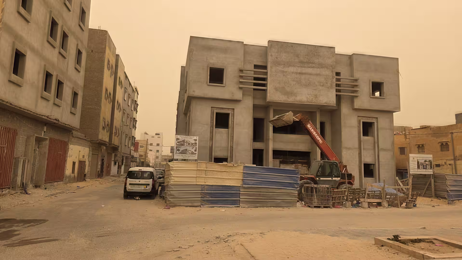
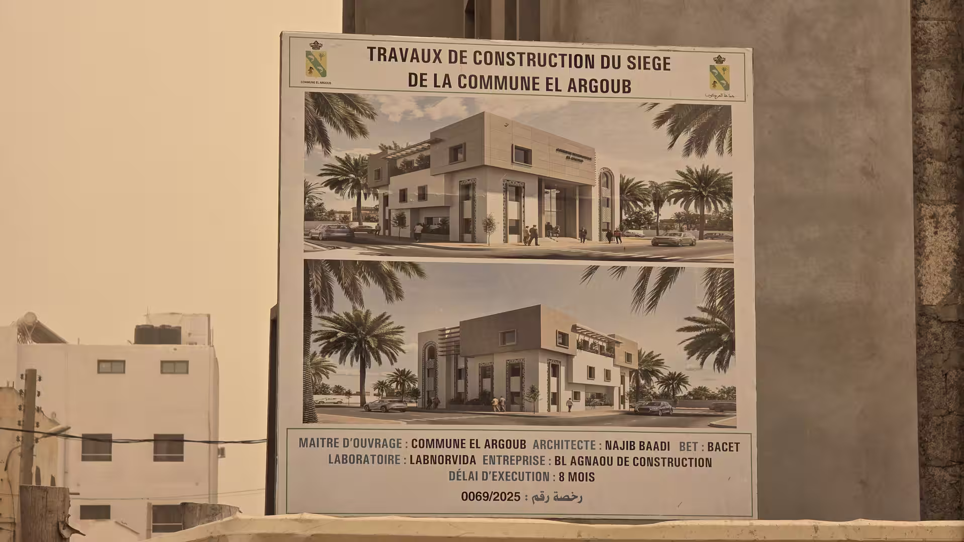
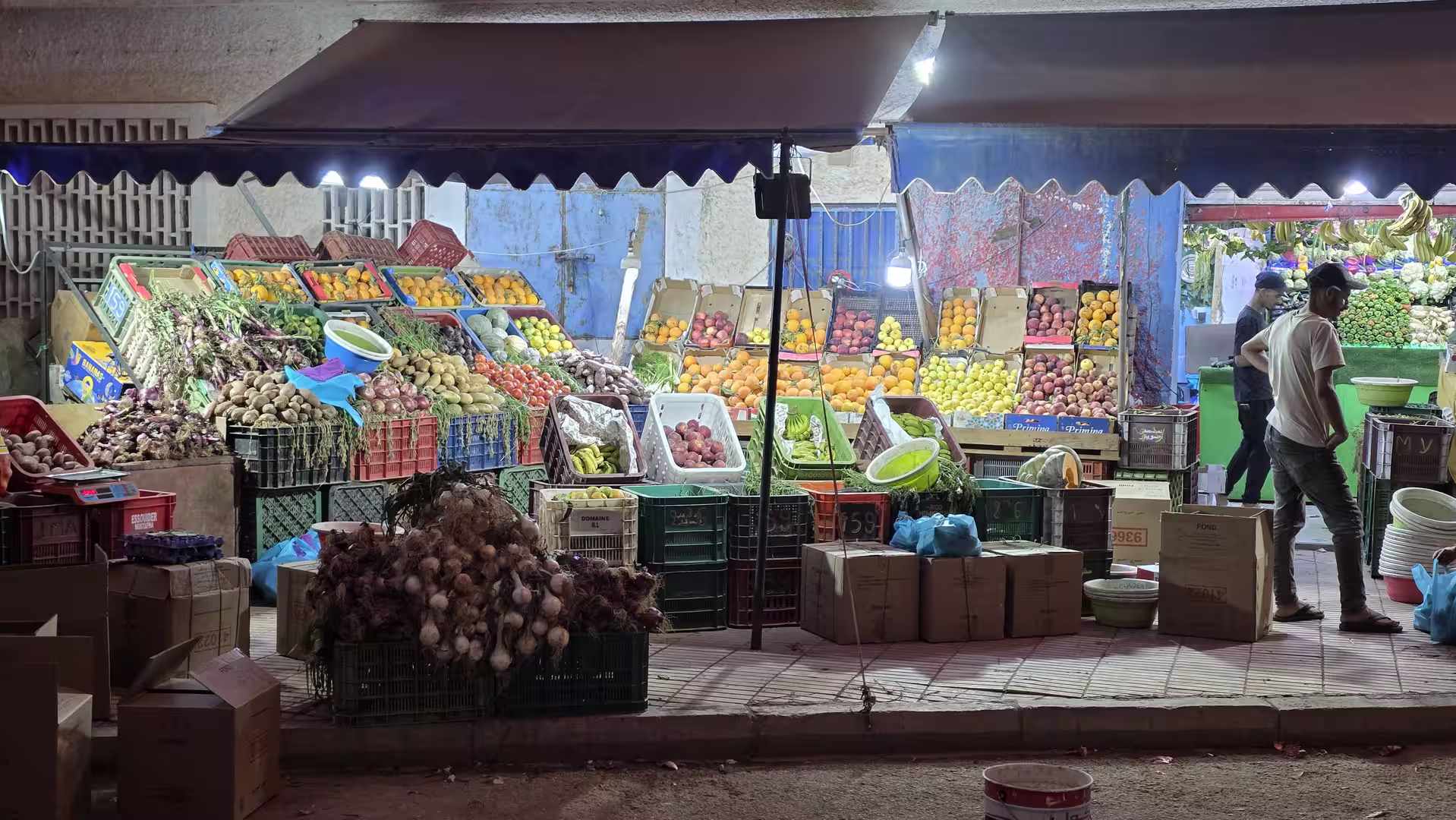
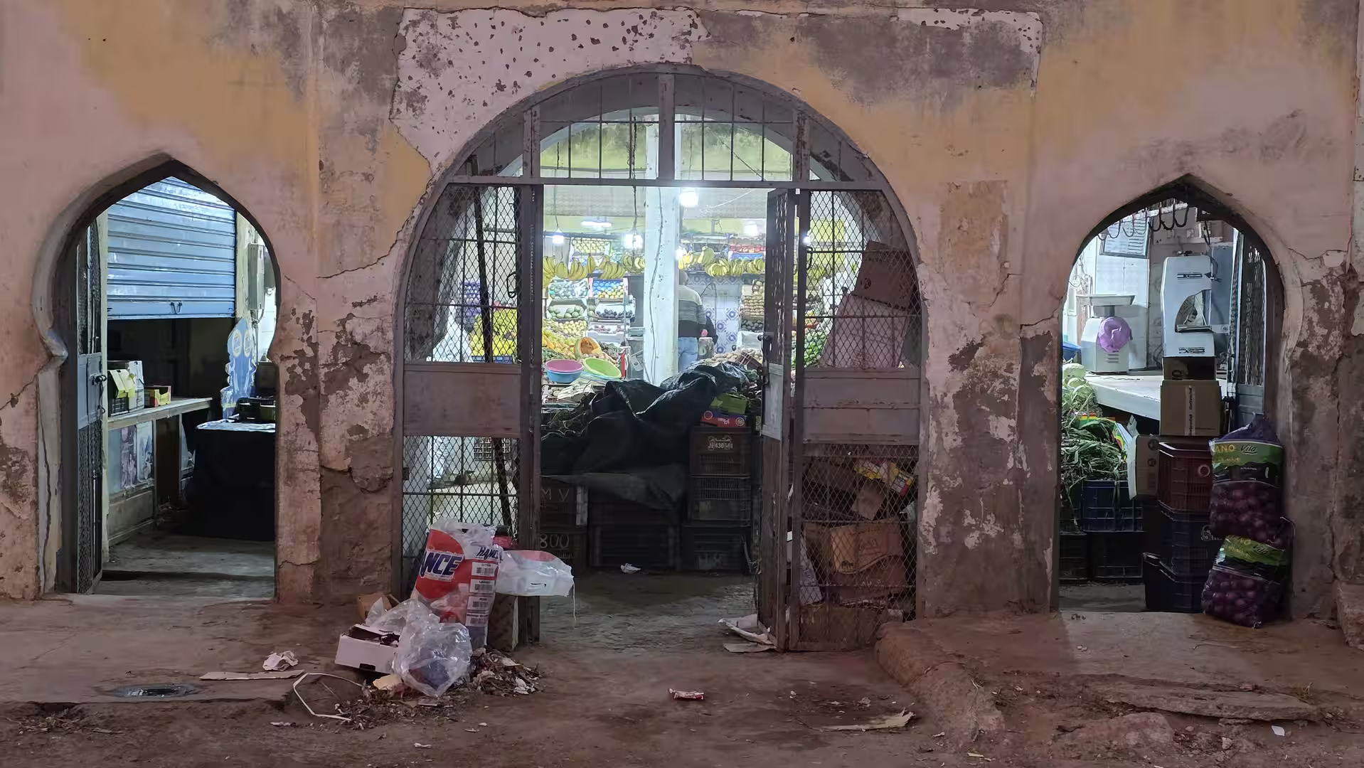
The journey then continued south toward Boujdour. This was the first major town on the route and one of the main orientation points of the day. Boujdour lies on Morocco’s southern Atlantic road and gives structure to the long distance between Laayoune and Dakhla. In a landscape with few large settlements, towns like Boujdour are essential. They mark progress, offer services, and create a sense of stages within an otherwise continuous road.


The approach to Boujdour was one of the clearest chapters of the day. The route had already left Laayoune far behind, and the road now felt fully committed to the southern Atlantic corridor. The terrain remained dry and open, with low elevations and long views. The coastline was close in a geographic sense, even when the road ran slightly inland.
A longer pause appeared in the wider Boujdour area. This was a natural break after the first major part of the route. By this point, almost 190 kilometers had been covered. The stop gave the journey a practical rhythm: Laayoune in the morning, a long open road south, then Boujdour as a major pause before continuing into the much longer and more remote second half of the day.
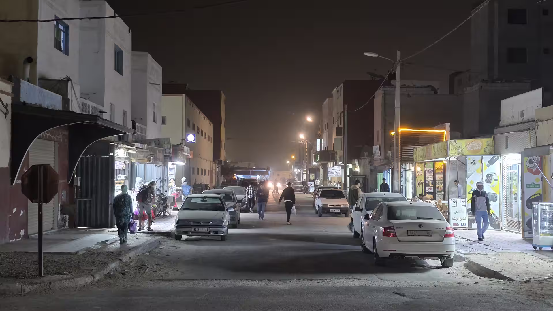
Boujdour also marked a psychological transition. North of the town, the journey still felt connected to Laayoune and the previous day’s route. South of Boujdour, the road felt more remote. The distances between settlements increased, and the sense of heading toward Dakhla became stronger. The route now entered one of the most open road sections of the trip.
After leaving Boujdour, the landscape became even more spacious. The road continued south and southwest across dry coastal plains. The land was low, flat in places, and almost entirely dominated by sky and horizon. There were no forests, no dense villages, and no complex topography to interrupt the view. Instead, the road created a strong feeling of movement through a stripped-down landscape.

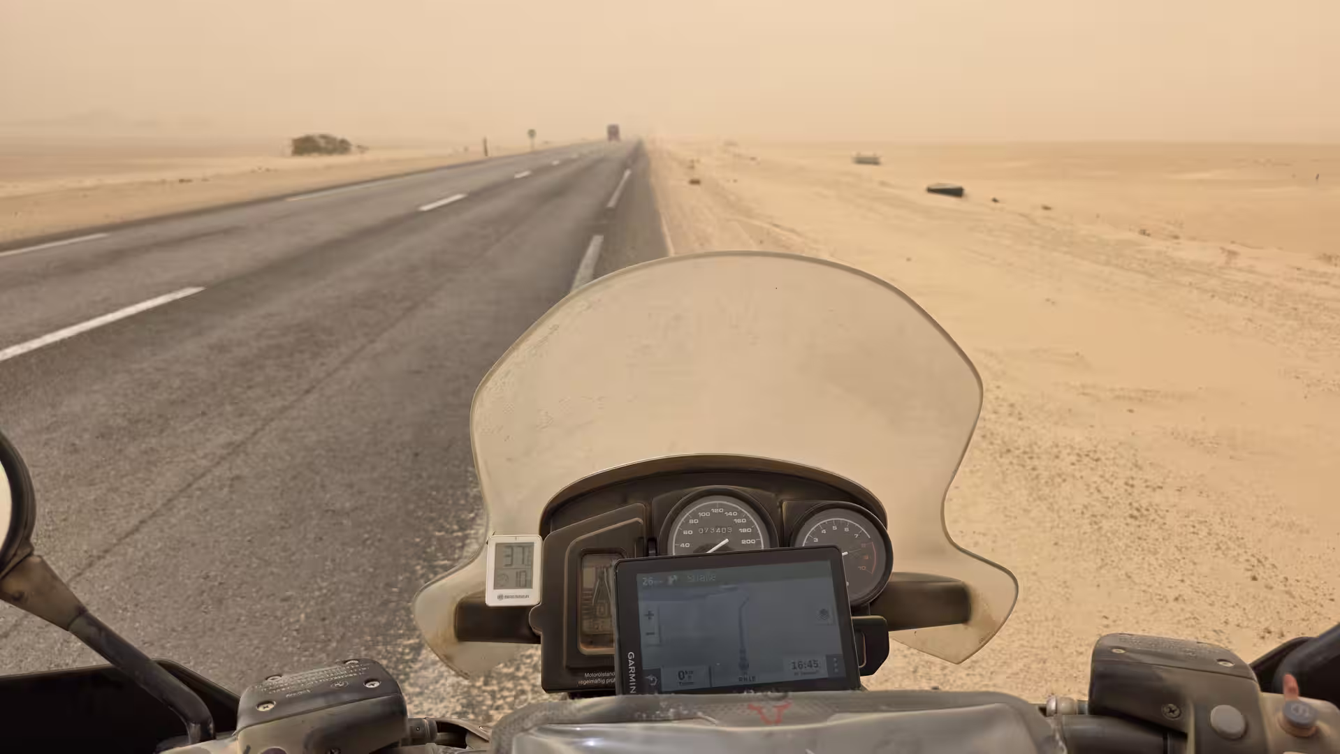
This middle section was one of the most characteristic parts of the route. It showed the essence of long-distance travel in the southern Atlantic Sahara: enormous distances, sparse settlement, dry land, strong light, and the sense that the road itself is the main feature. The journey was not about frequent attractions. It was about the experience of crossing a large, remote region by car.
Several short stops appeared during the middle part of the day. One stop occurred after the route had covered more than 250 kilometers, and another followed later, around the 320 to 335 kilometer range. One of these pauses was longer, lasting about half an hour. These breaks gave the route a more human rhythm. On a map, the road from Laayoune to Dakhla can look like a simple line. In reality, it is a long day of driving, concentration, wind, heat, distance and repeated pauses.
The landscape south of Boujdour remained austere, but it was not meaningless. The subtle changes became more noticeable with time. The road sometimes moved closer to the ocean and sometimes farther inland. Low ridges, sandy stretches, dry plains, roadside shelters, occasional tracks and distant signs of settlement all gave variety to the journey. But the dominant impression remained openness.
As the route continued, the elevation stayed low. The GPS data showed that much of the second half of the journey ran close to sea level or only a few dozen meters above it. This created a very different feeling from the high plateau roads of eastern Morocco or the inland desert crossings around Zagora, Tata and Guelmim. Here, the landscape was flatter, more horizontal and more maritime, even when the Atlantic itself was not always visible.
The road toward Dakhla gradually became more solitary. After Boujdour, the route passed through long spaces where settlements were sparse and the sense of distance was constant. This is one of the defining experiences of the journey. It is a road that makes the scale of the region tangible. Every kilometer adds to the feeling of remoteness.
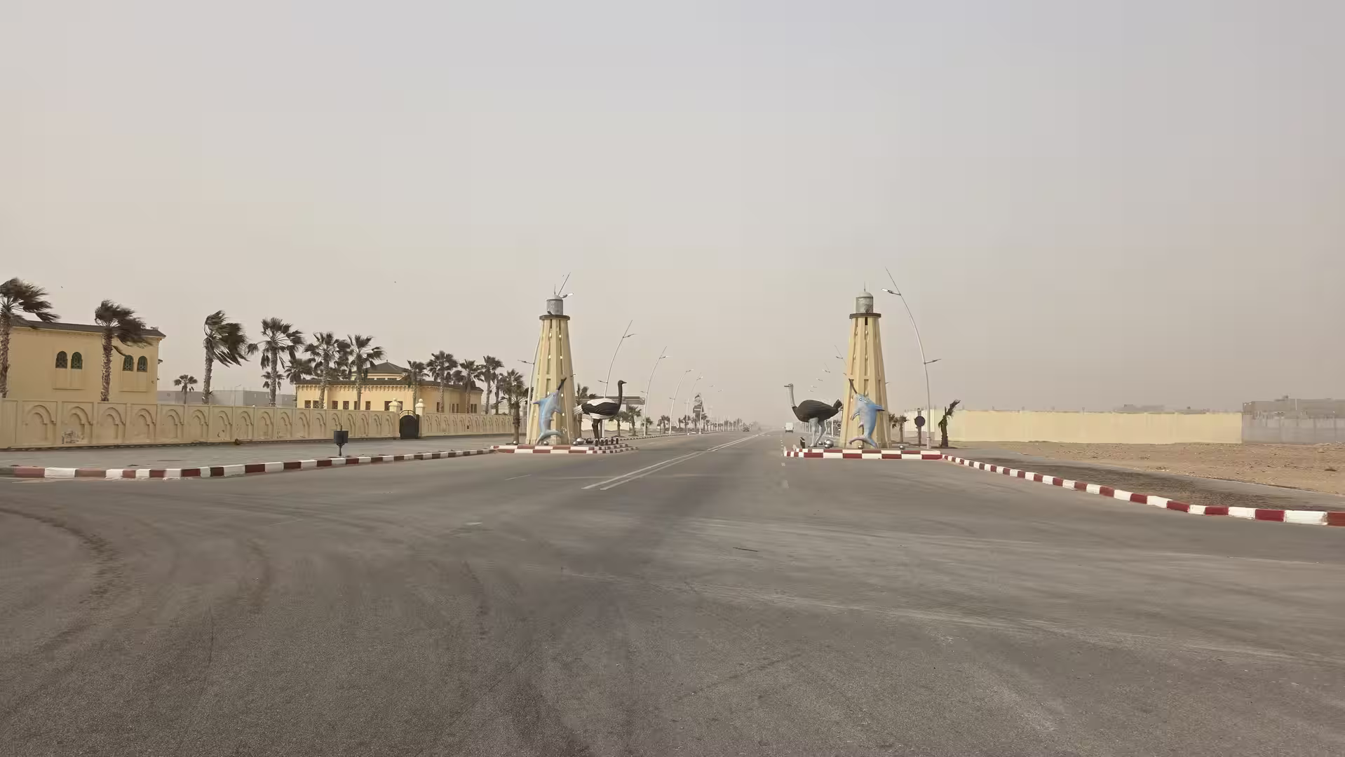
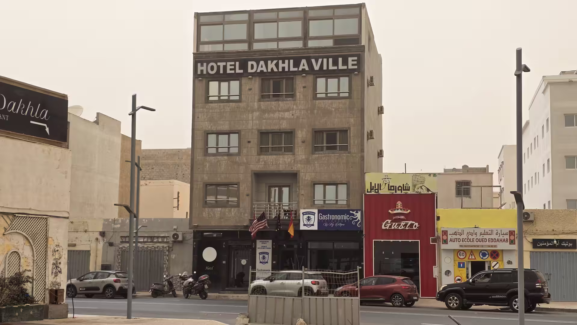
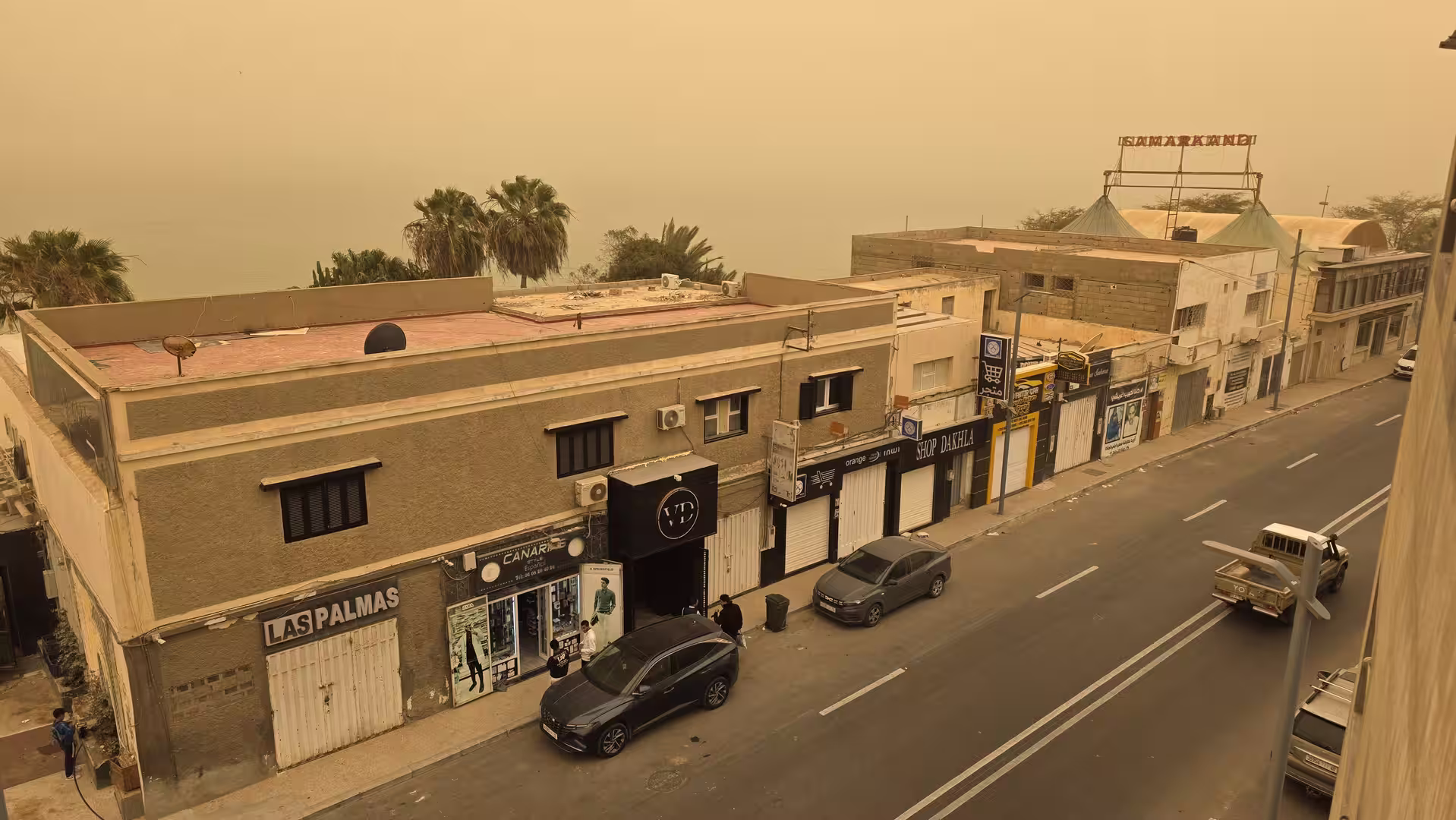
Late in the afternoon, the route approached the Dakhla peninsula. This was the decisive change in the final part of the day. After hundreds of kilometers across open Atlantic Sahara landscapes, the road began to turn toward one of Morocco’s most distinctive coastal destinations. Dakhla is not simply another city at the end of a long road. It lies on a narrow peninsula between the Atlantic Ocean and a large lagoon, giving it a geographical identity unlike any of the towns passed earlier in the day.
The approach to Dakhla changed the mood of the journey. The road moved closer to the coast and the landscape began to feel more defined by water, wind and light. After hours of wide, dry plains, the idea of arrival became stronger. The road no longer seemed endless. It had a clear destination.
A final stop appeared shortly before reaching Dakhla, near the northern part of the peninsula or its approach. This pause came after more than 500 kilometers of driving and just before the final descent into the destination area. It was the last break in a long travel day and marked the transition from the open Atlantic road to the arrival zone of Dakhla.
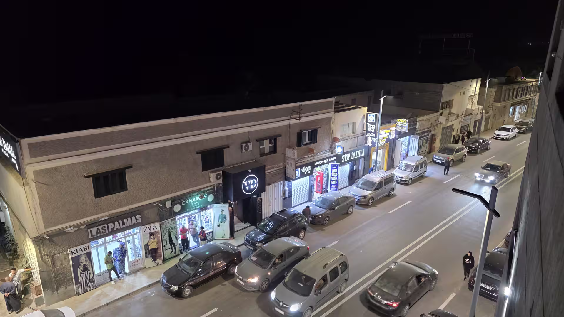
The final kilometers into Dakhla were very different from the start in Laayoune. At the beginning of the day, the route left a larger inland urban center and entered open desert terrain. By the end, the road approached a coastal peninsula surrounded by ocean and lagoon landscapes. The GPS track ended in Dakhla in the late afternoon, after a full day on the road.
In total, the route covered approximately 539 kilometers. The recorded travel time was a little over eight hours, with around six hours and twenty minutes of moving time and just over two hours of stops. The highest point was only around 175 meters, and the route ended close to sea level. These figures reflect the character of the journey: long, low, coastal, open and strongly defined by distance rather than altitude.

What made this day memorable was the purity of the route. Unlike the previous stages, which crossed mountains, high plateaus, oasis valleys and interior towns, this journey was almost entirely about the southern Atlantic road. It followed a long corridor between desert and ocean, with Laayoune, Boujdour and Dakhla as the main points of orientation.
The road from Laayoune to Dakhla is not visually crowded. Its beauty lies in reduction. There is the road, the sky, the dry land, the wind and the distant Atlantic. Towns are few. Stops are important. The landscape does not change quickly, but it changes enough to keep the journey alive: from the outskirts of Laayoune to the open desert, from Boujdour to the remote southern plains, from the long road to the sudden geographic character of Dakhla.
For travelers, this is a route that rewards patience. It is not a short scenic drive with frequent viewpoints. It is a long-distance crossing where the experience builds slowly. The sense of remoteness, the distance between settlements, the wide sky and the final arrival on the Dakhla peninsula all give the journey its meaning.
The route also shows how different southern Morocco can feel from one stage to the next. The previous day from Guelmim to Laayoune had already introduced the Atlantic Sahara corridor. This day continued deeper into it. The landscape became more open, the distances longer, and the destination more remote. Reaching Dakhla felt like the end of a major southbound movement along the Atlantic edge.
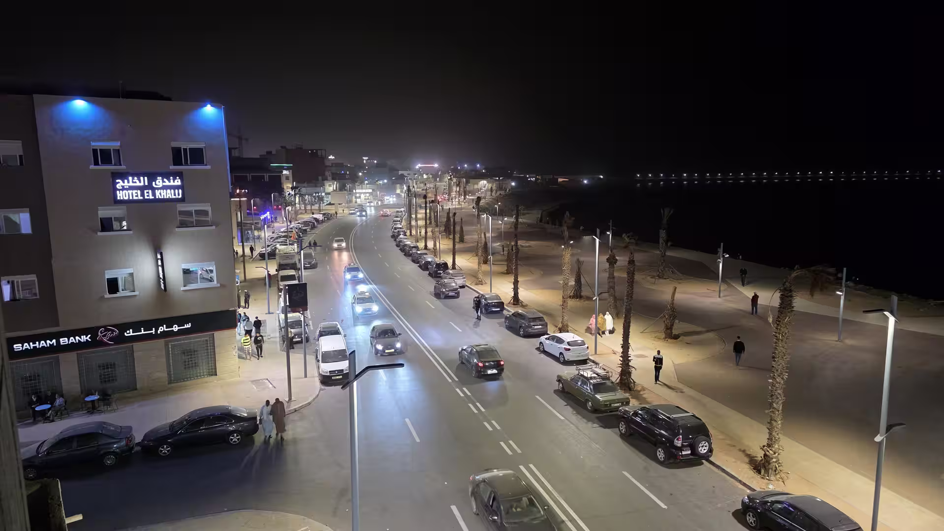
Dakhla itself gave the route a strong conclusion. After a day of dry plains and long roads, the arrival near the lagoon and the Atlantic created a clear contrast. The journey ended not simply in another road town, but in a place where geography becomes immediately visible: a narrow peninsula, open ocean, shallow lagoon waters, wind and light.
This was a demanding travel day, but also one of the clearest road journeys of the trip. It did not rely on dramatic changes or famous sightseeing stops. Its strength was the scale of the landscape and the feeling of moving steadily south through one of Morocco’s most open regions.
By the end of the day, the route had connected Laayoune and Dakhla across more than 500 kilometers of southern Atlantic road. It was a journey through emptiness, distance and coastal desert landscapes. The memory of the day lies in the long straight roads, the pauses in the open country, the stop around Boujdour, the low Atlantic plains, and the final approach to Dakhla, where the desert road finally meets the lagoon and the ocean.